
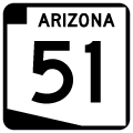
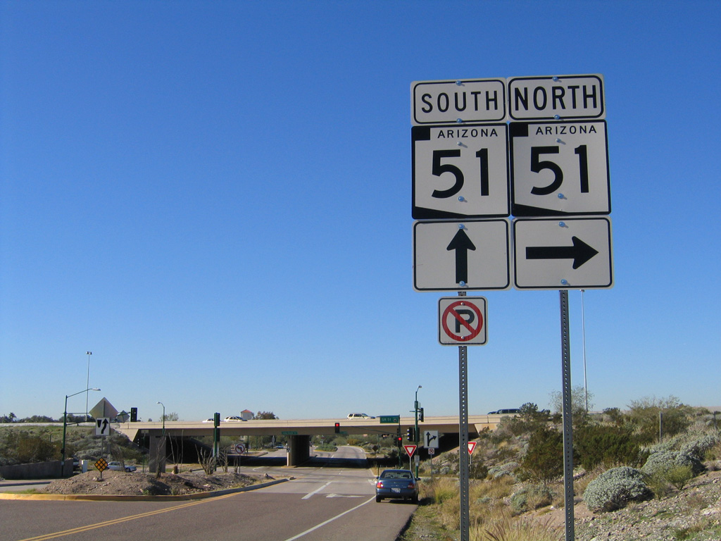
State Route 51

SR 51 branches north from I-10 through the Mini-Stack Interchange with Loop 202. - 01/17/2005
Arizona State Route 51 serves as a primary north-south freeway through the east central Phoenix area, as well as a reliever to I-17. SR 51 was the first urban (non-interstate) freeway built through Phoenix, and is unique in that the section from McDowell Road to Glendale Avenue was built by the City of Phoenix as Squaw Peak Parkway, and not as a freeway by the Arizona Department of Transportation (ADOT).
A freeway was first planned for the SR 51 corridor in 1960. However freeway growth in Phoenix did not keep up with population increases for a multitude of reasons. Until 1966, Interstate 17 was the only freeway through Phoenix. The Maricopa freeway (eventual I-10) opened at this time to 40th street. The Squaw Peak corridor was assigned Interstate 510 as the route number through 1975 - which is the original source of the numbering for State Route 51.
ADOT first purchased property in the Squaw Peak corridor in the mid-1960s, but stopped due to funding issues with regards to construction. Following the Papago debacle, a fight erupted over the alignment for the Squaw Peak freeway through Dreamy Draw, and ADOT instead focused resources on projects outside of Phoenix. Phoenix Mayor Margaret Hance, realizing traffic was becoming a major problem, admitted a freeway was not feasible in 1981, and changed the classification of the corridor to a parkway.
Planners set a route along 18th Street in 1982, drawing community opposition in the form of NEVER, a group of residents. NEVER, meaning "Neighbors Veto Expressway Routes," first questioned the traffic figures used to justify the route, leading to a sequence of events after the projections were justified:
- March 29, 1983 - final alignment approved by Phoenix
- April 5, 1983 - Ordinance passed allowing purchase of land
- September 14, 1983 - Judge Moroney of Maricopa County deems vote (on alignment) legal, over petition of NEVER.
- November 10, 1983 - Arizona Supreme Court rejects appeal of Moroney's decision
- December 30, 1983 - NEVER files a lawsuit stating Arizona environmental laws were not followed. Lawsuit is rejected.
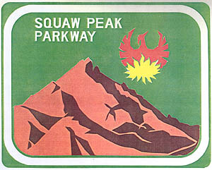
The original trailblazer designed for Squaw Peak Parkway
During the same time frame, NEVER put a Proposition on the February 7 ballot proposing a plan to build a continuation of 32nd Street through Phoenix Mountain Preserve, but completely disallowing the Squaw Peak Parkway. This measure was rejected by voters.
A citizen working group was commissioned to design Squaw Peak Parkway (the first mile), but all of their suggestions were rejected by the Phoenix City Council in January 1985, further angering local residents.
SR 51 was constructed in segments from south to north. The overpass to Thomas Road (Exit 2) replaced the last at-grade intersection of the original leg Squaw Creek Parkway on July 31, 1990, while the last segment connecting the freeway to Loop 101 opened to traffic on May 31, 2003. Originally, the parkway segment of SR 51 had posted speed limits of 45 miles per hour. Speed limits were raised to 50 MPH in 1988, and increased again when ADOT assumed control of the freeway.
State Route 51 is named the Piestewa Freeway. It was known as the Squaw Peak Freeway until May 1, 2003, when it was renamed along with Squaw Peak itself, in honor of Army Private First Class Lori Piestewa. Piestewa was the first Native American woman killed in combat as an American soldier; the Hopi died during the 2003 War in Iraq.
 North
North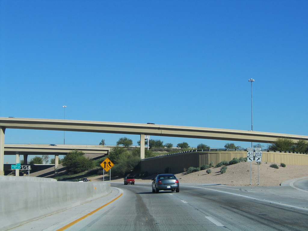
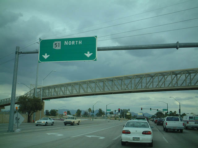
The exit for SR 202 east from I-10 west splits from SR 51 northbound. The section of I-10 between I-17 and the Mini-Stack Interchange was signed as an extension of SR 51 between July 1988 and 1990. This was done to keep through traffic on I-17 until the gap of I-10 at the Stack interchange and 7th Street was completed.
01/17/05
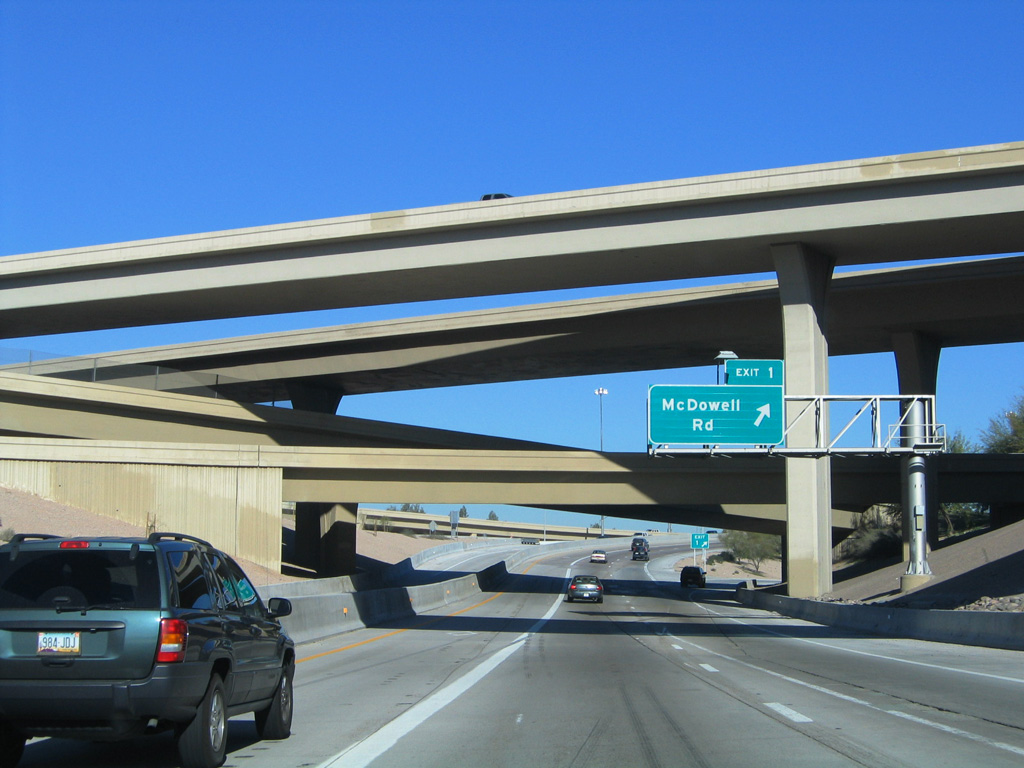
Ramps with the SPUI (Exit 1) for McDowell Road tie into SR 51 within the systems interchange with Interstate 10 and Loop 202 east.
01/17/05
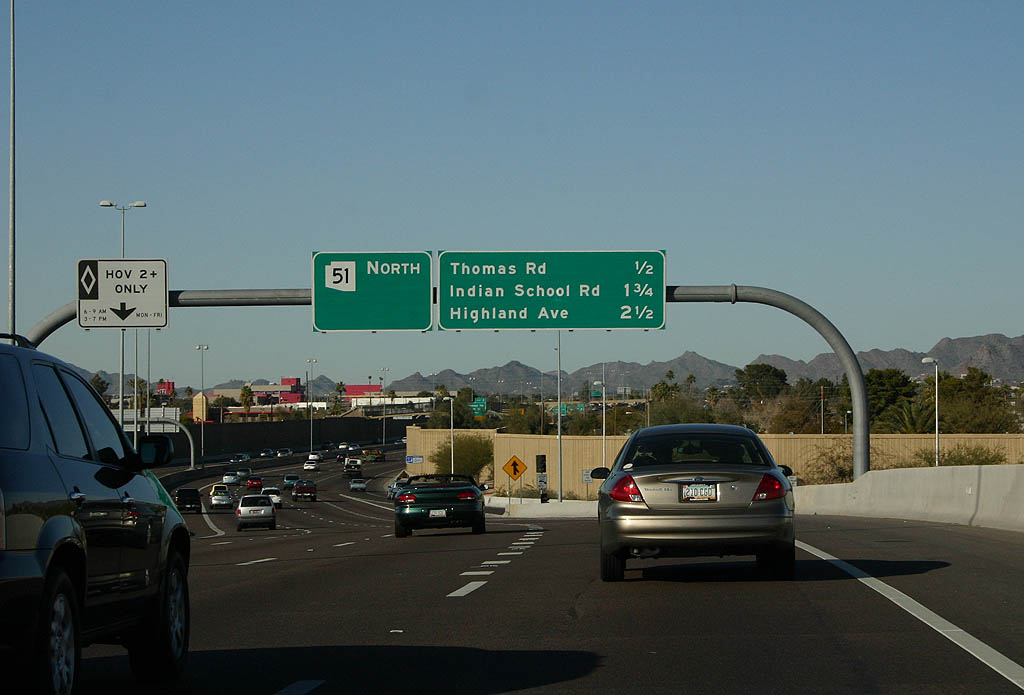
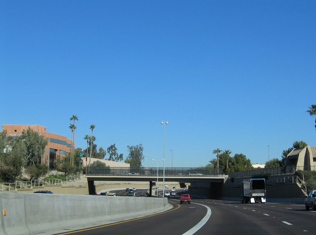
Three exits depart from SR 51 over the ensuing 2.5 miles north from the McDowell Road underpass.
01/20/08
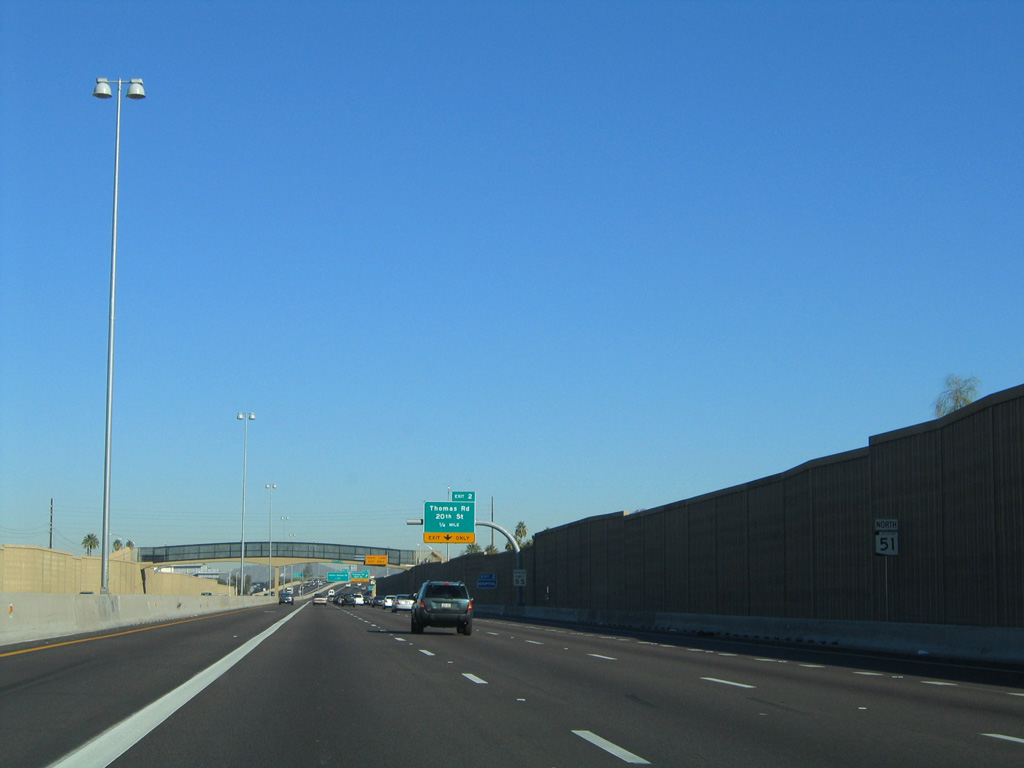
The freeway between McDowell Road and Thomas Road (Exit 2) represents the oldest section of SR 51, opening to traffic July 21, 1986 as an at-grade parkway.
01/17/05
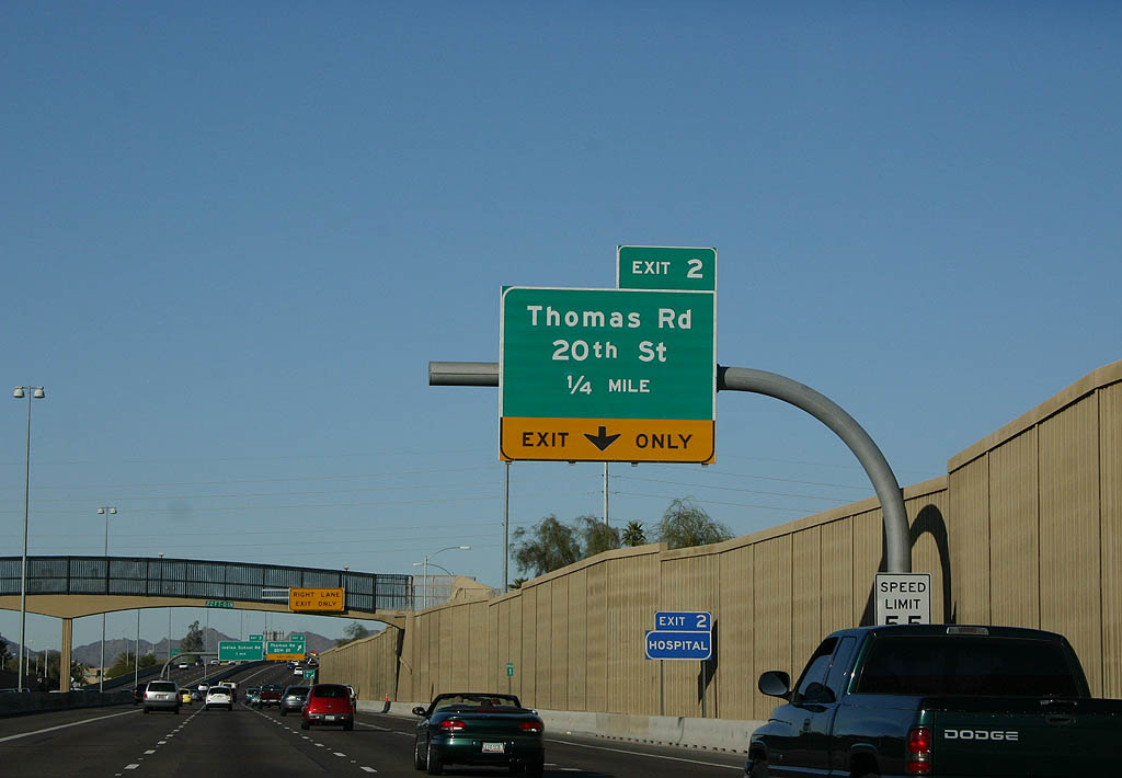
20th Street and 20th Place parallel SR 51 beyond the sound walls in place by 2003. A pedestrian bridge crosses the freeway at E Oak Street, less than a half mile from Exit 2.
01/20/08
Traffic departs SR 51 (Piestewa Freeway) for Exit 2 to Thomas Road and 20th Street north.
01/20/08
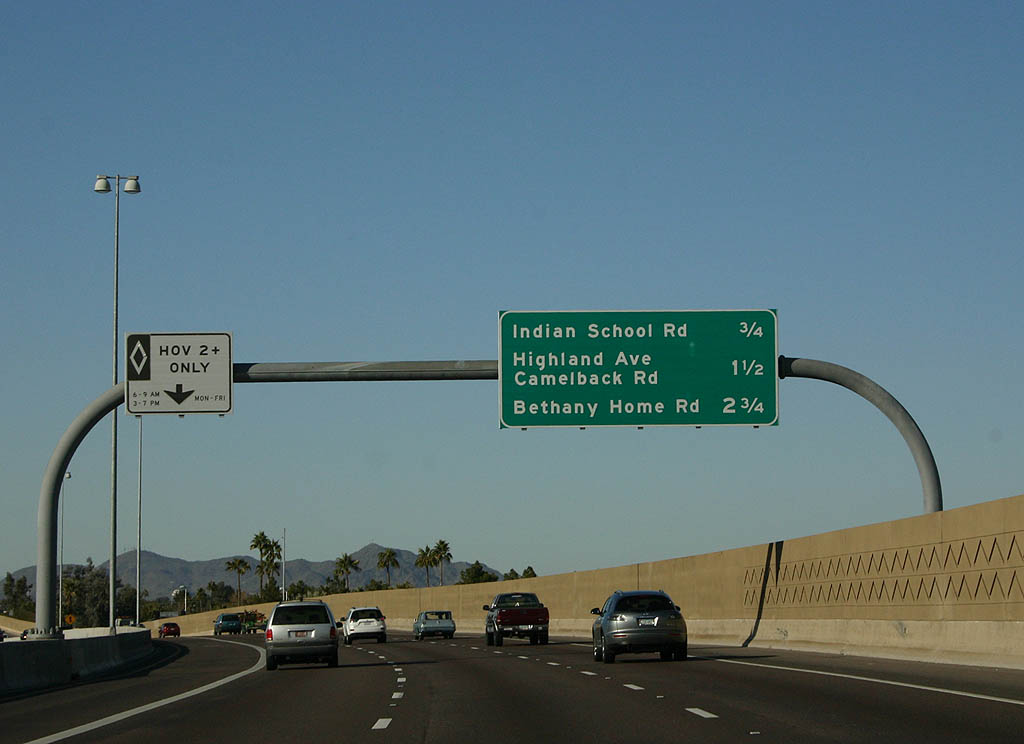
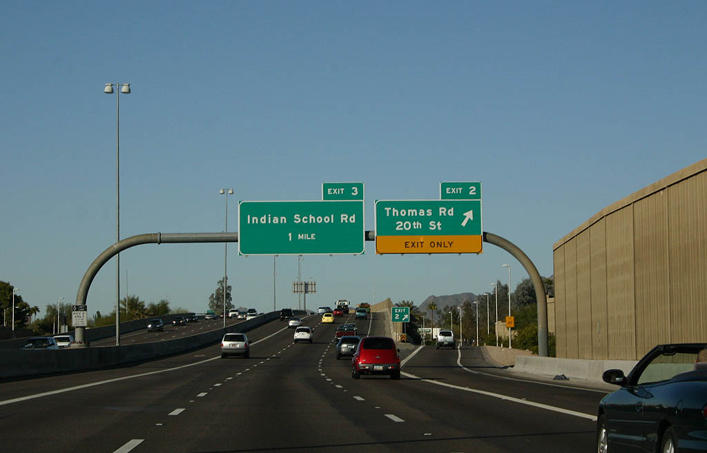
SR 51 parallels Grand Canal northwest from 20th Street to Exit 3 with Indian School Road.
01/20/08

Indian School Road joins the Piestewa Freeway with the Carl T. Hayden Veterans Affairs (VA) Medical Center and Steele Indian School Park west from Exit 3 in one quarter mile.
01/20/08
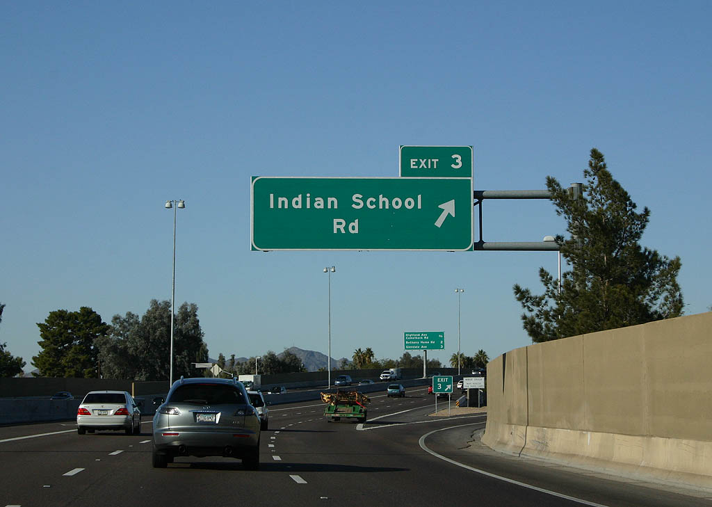
Indian School Road extends across the Valley of the Sun region, meeting SR 51 at a single point urban interchange (SPUI) as the freeway crosses into the Camelback East Village section of Phoenix.
01/20/08
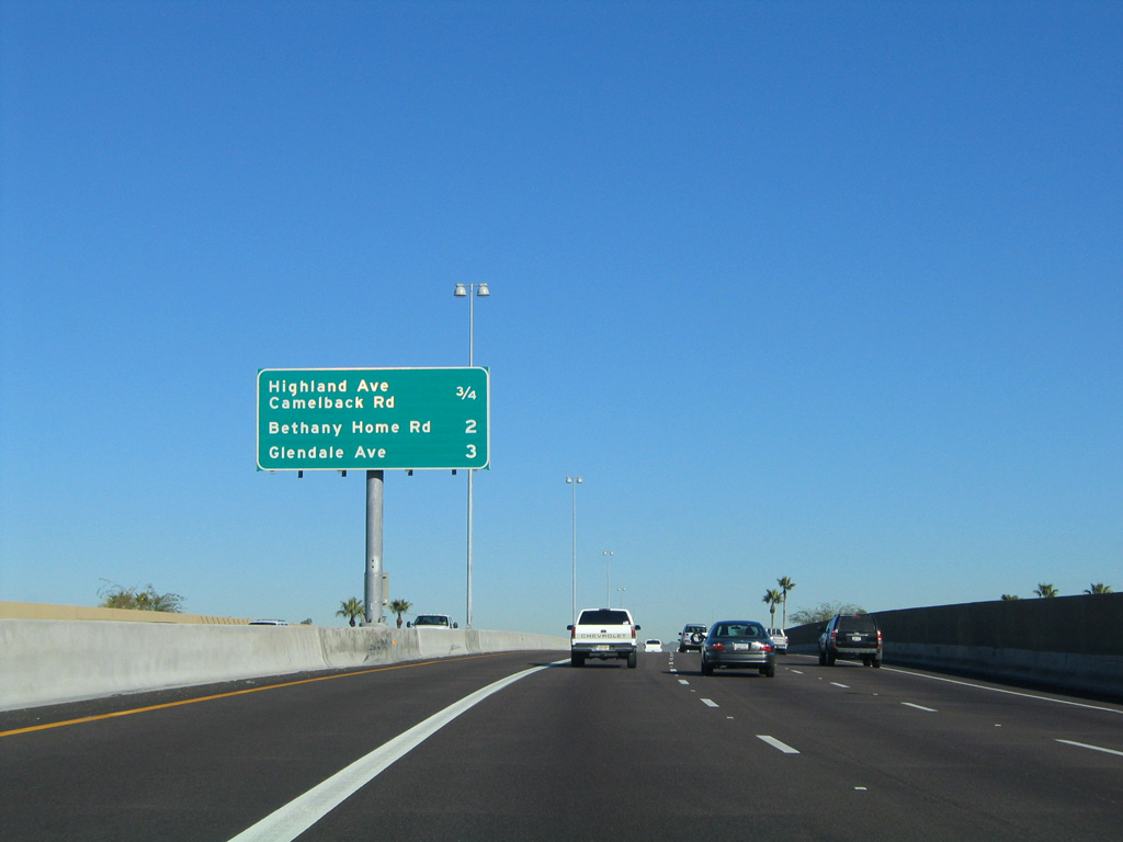
SR 51 turns northward between 17th and 18th Streets between Indian School Road and the split diamond interchange (Exit 4A) with Highland Avenue and Camelback Road.
01/17/05

One quarter mile out from Exit 4A to Highland Avenue. Highland Avenue lines the south side of both Camelback Colonnade mall and Town and Country Shopping Center east of SR 51.
01/20/08
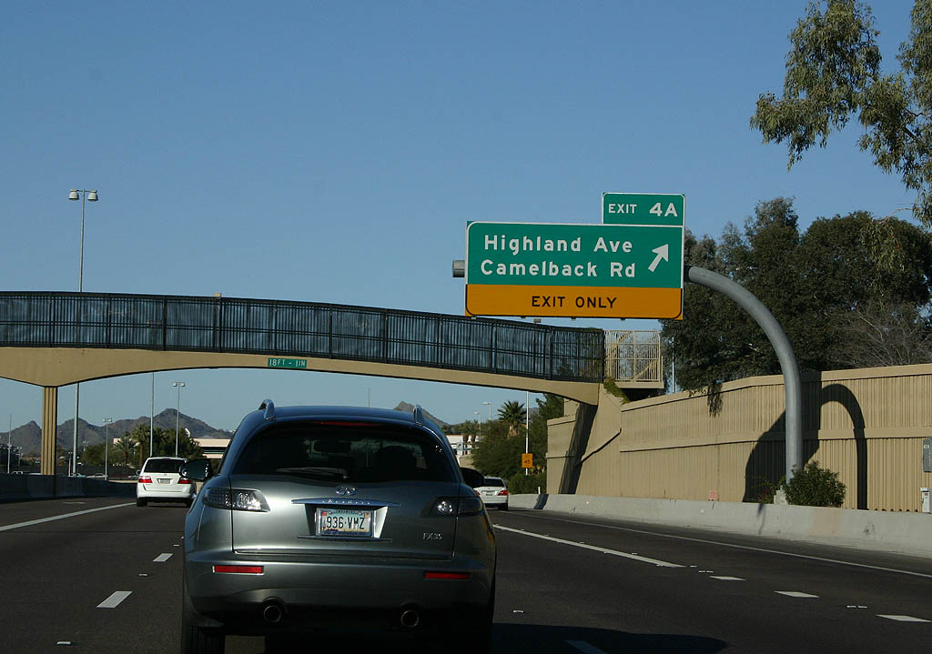
The Piestewa Freeway passes under the Campbell Avenue pedestrian crossover at the departure of Exit 4A to Highland Avenue. Camelback Road parallels Highland Avenue to the north of Camelback Colonnade mall.
01/20/08
SR 51 shifts westward through an S-curve below Highland Avenue. The return ramp from Exit 4A is from E Colter Street by Desert STorm Park.
01/17/05
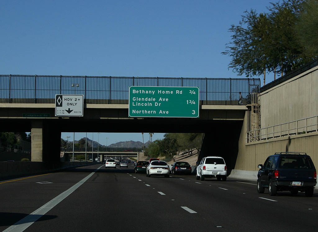
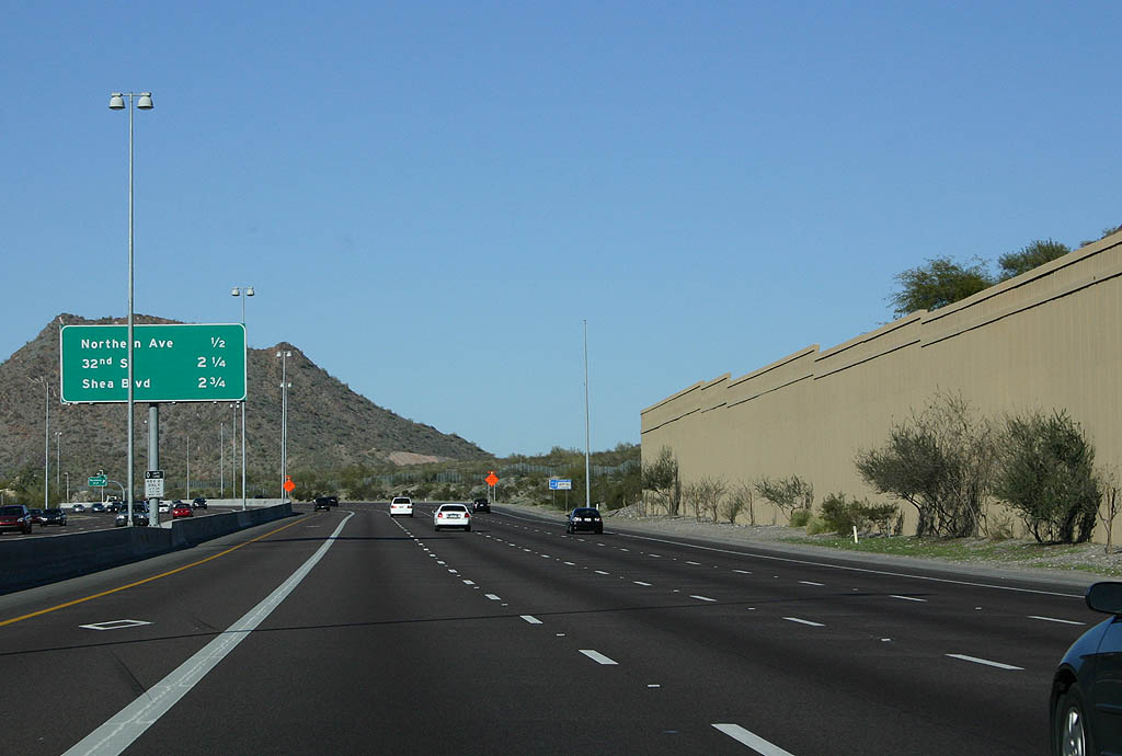
Camelback Road spans the Piestewa Freeway three miles ahead of Northern Avenue (Exit 7).
01/20/08
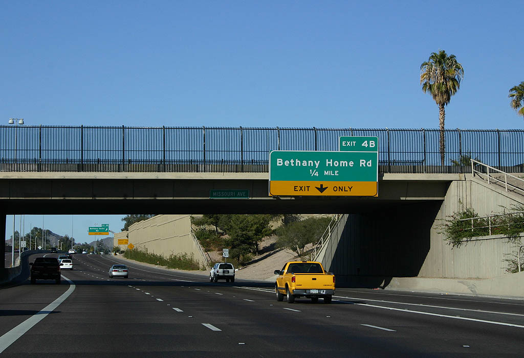
A SPUI (Exit 4B) joins SR 51 with Bethany Home Road a quarter mile beyond the Missouri Avenue overpass. Squaw Creek Parkway originally intersected Bethany Home Road at signalized intersection. 1984 plans called for SR 51 to pass over the arterial; this changed in 1988 to an underpass.
01/20/08
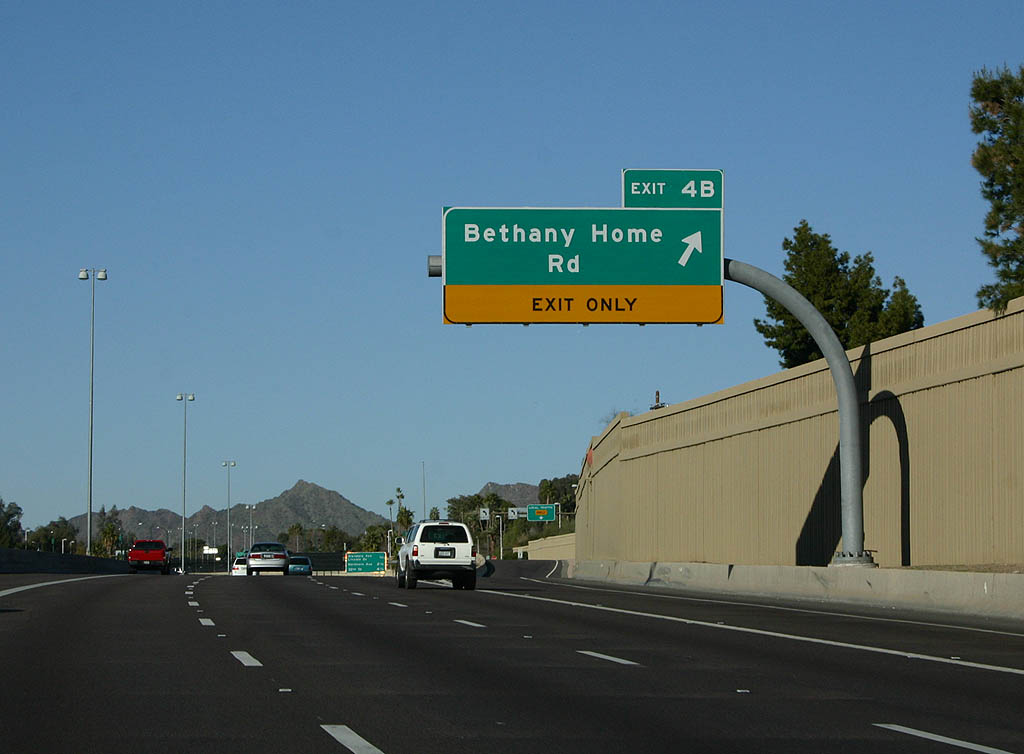
Exit 4B departs SR 51 north for Bethany Home Road west and 18th Street north. There is no access to Bethany Home Road east to the Wrigley Terrace and Grovemont subdivisions. This restriction was one of the concessions required to construct the freeway.
01/20/08
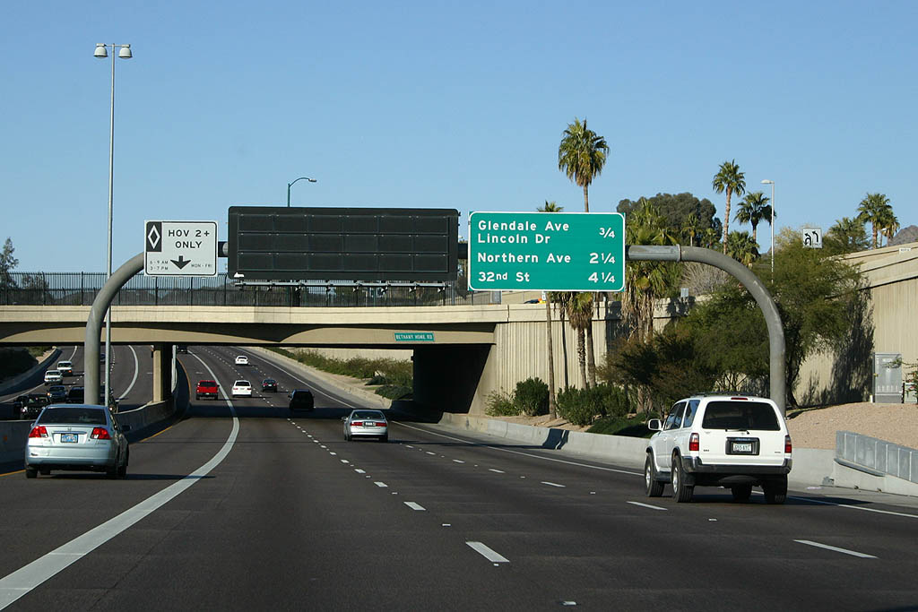
Interchange sequence sign posted ahead of Glendale Avenue / Lincoln Drive (Exit 5). Trucks were not allowed on SR 51 from 1989-1993 to appease residents. This was rescinded when ADOT took over maintenance of the freeway.
01/20/08
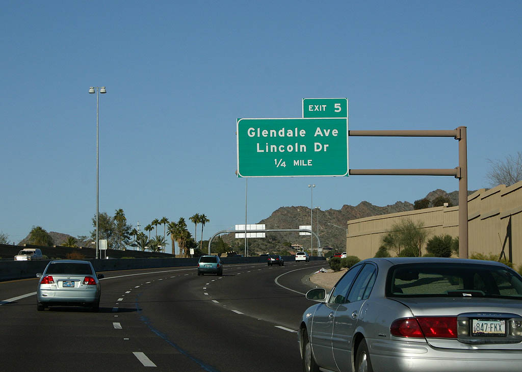
The SPUI (Exit 5) with Glendale Avenue marks the north end of city of Phoenix built section of SR 51. SR 51 north from Thomas Road opened in 1990 and was turned over to ADOT maintenance in 1993.
01/20/08
Glendale Avenue becomes Lincoln Drive east around the south side of Phoenix Mountains Preserve to the town of Paradise Valley.
01/20/08

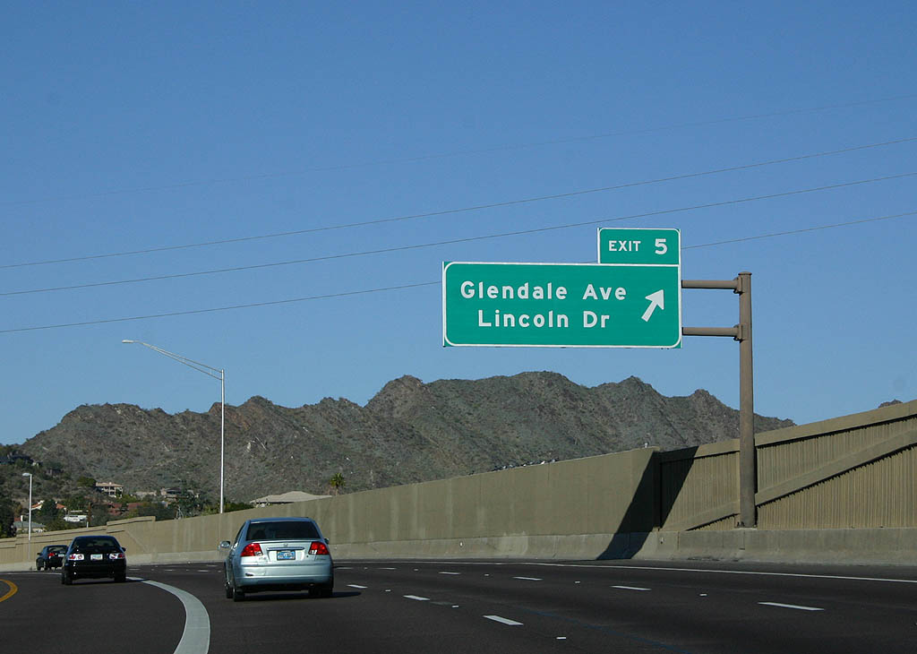
SR 51 lowers from bridges across the Arizona Canal Diversion Channel into the SPUI (Exit 5) with Glendale Avenue.
03/18/07
SR 51 advances north into the Phoenix Mountains Preserve. The remainder of the freeway north was constructed to ADOT standards.
03/18/07
The Phoenix Mountains Preserve is home of original namesake Squaw Peak, which was later renamed Piestewa Peak. SR 51 replaced Northern Avenue through Dreamy Draw, and the freeway widens to ten lanes through this important gap in the mountains.
01/20/08
Part of the original 1960 freeway system, SR 51 north to Loop 101 was added to Squaw Peak Parkway in 1985. ADOT took responsibility for construction after the 1985 freeway plan was passed by voters.
01/20/08
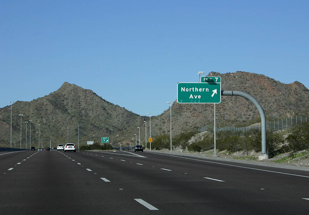
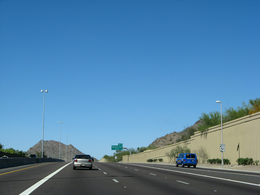
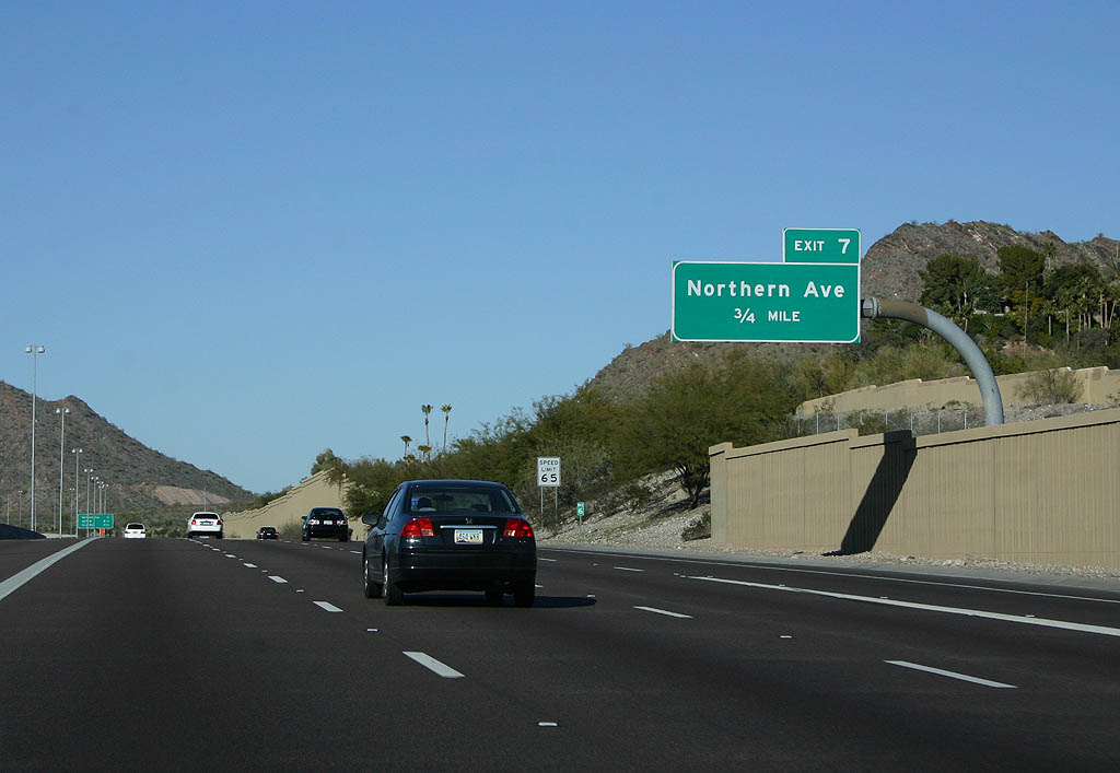
E Northern Avenue ties into SR 51 at a diamond interchange (Exit 7) opposite N Dreamy Draw Drive.
01/20/08
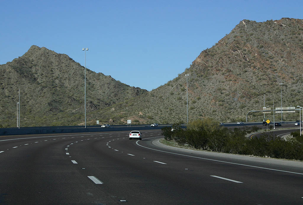
SR 51 turns to follow the original alignment of Northern Avenue through Dreamy Draw. The two peaks to the north are unnamed.
01/20/08
The ensuing exit along SR 51 (Piestewa Freeway) is with 32nd Street
01/20/08
03/18/07
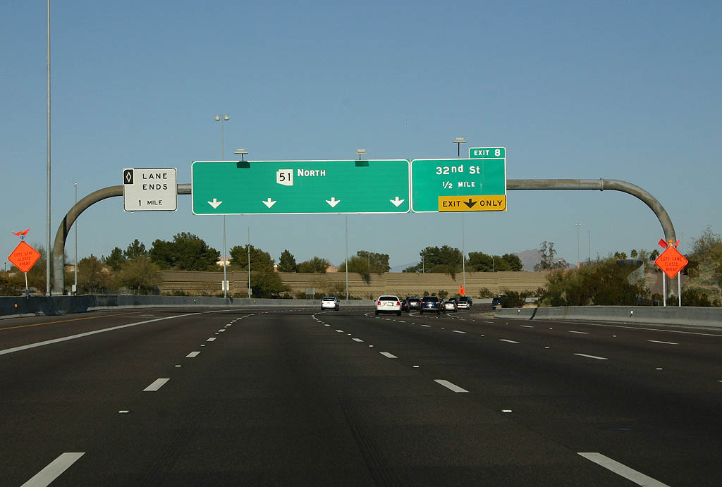
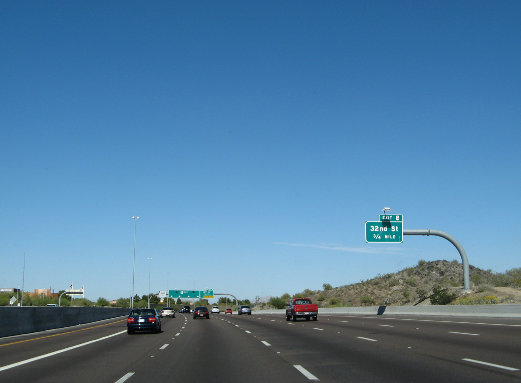
Continuing beyond Dreamy Draw, SR 51 enters suburban areas ahead of 32nd Street and Exit 8.
01/20/08
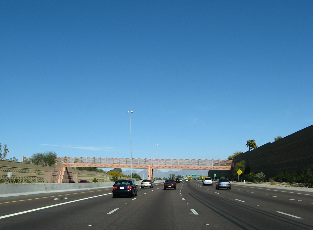
Pedestrian overpasses along the ADOT constructed section of SR 51 were artistically designed. This span connects with the Dreamy Draw Bikeway across from Mercury Mine School.
03/18/07
Entering the half diamond interchange (Exit 8) with N 32nd Street on SR 51 north.
01/20/08
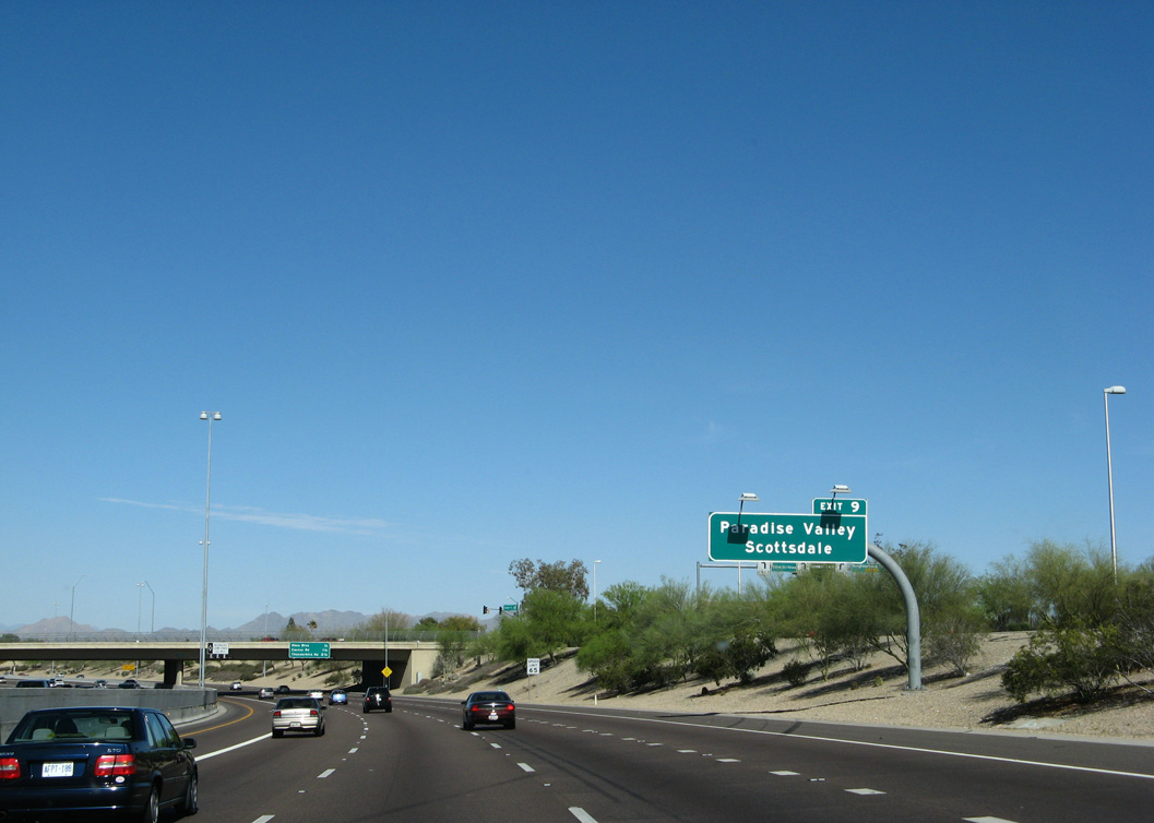
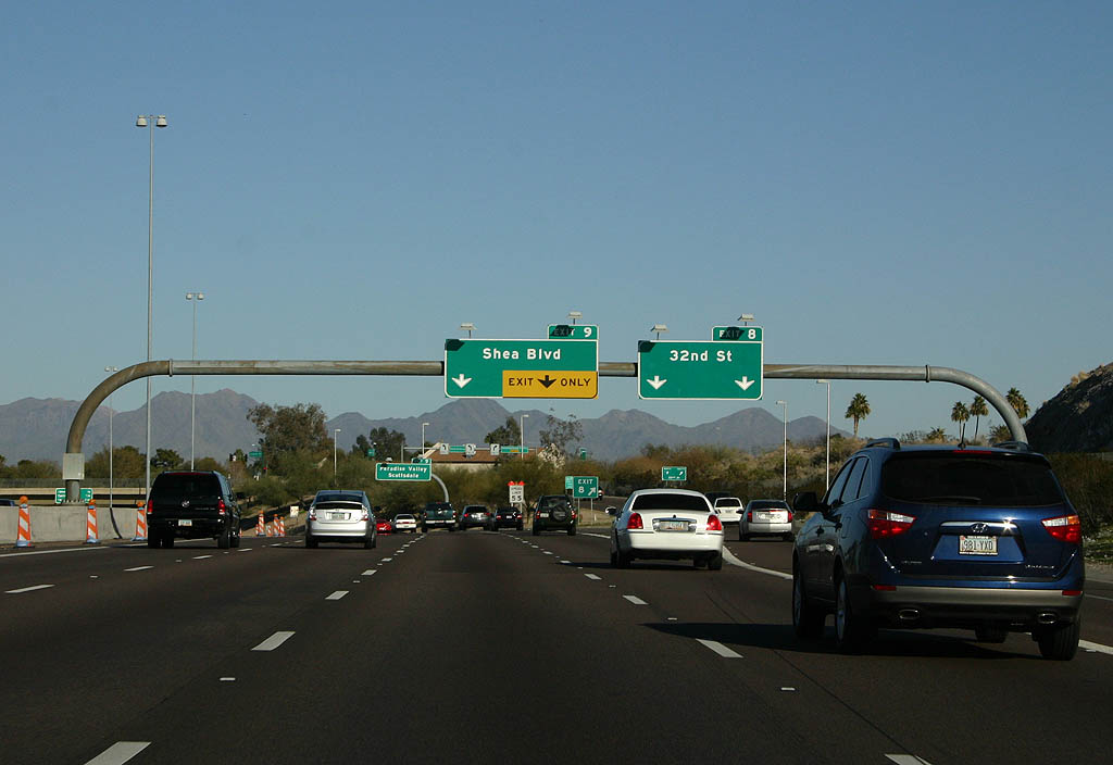
SR 51 (Piestewa Freeway) heads northeast through a series of S curves from the Phoenix Mountains to Shea Boulevard west of Paradise Valley and Scottsdale.
03/18/07
Exit 9 at Shea Boulevard marks the limits of 1996 construction, and the limits of the HOV lane completed along SR 51 in 2003.
01/20/08

North from the SPUI (Exit 9) with Shea Boulevard, SR 51 was constructed with full ADOT standards, with carpool lanes added in 2008. The original plan for SR 51 followed 32nd Street. It shifted to the 34th Street alignment following a citizen group recommendation to ADOT and the city of Phoenix.
01/20/08
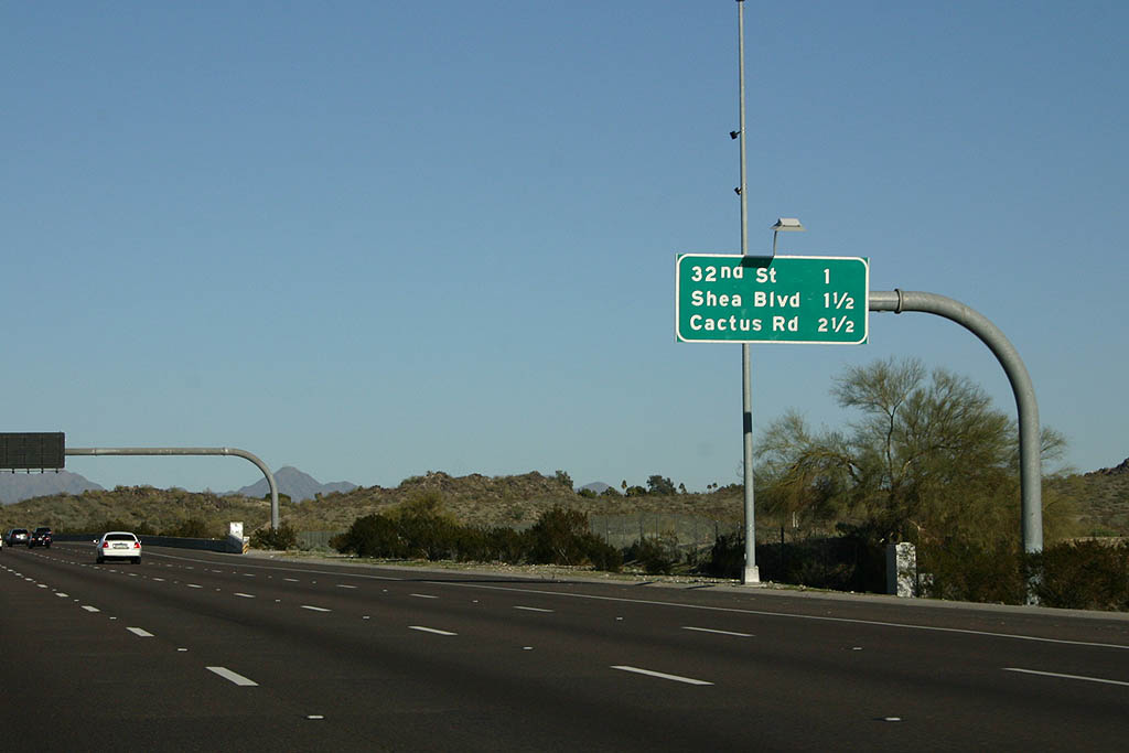
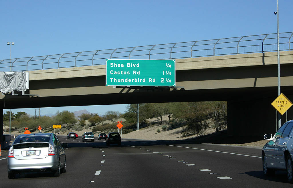
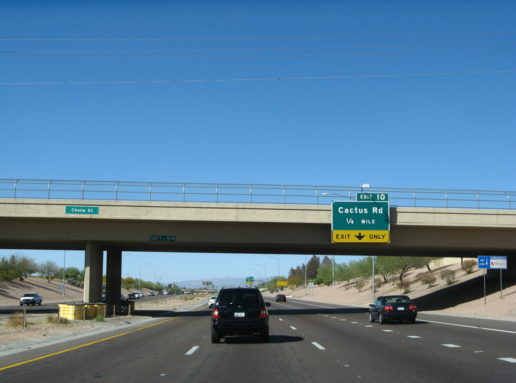
SR 51 stays below grade northward from Shea Boulevard to Exit 10 for Cactus Road.
03/18/07
The rubberized asphalt program from 2003 to 2006 replaced the original concrete roadways on SR 51 with a rubberized asphalt overlay. Comprised of recycled tires, the pavement overlay reduced freeway noise by three to four decibels.
01/20/08
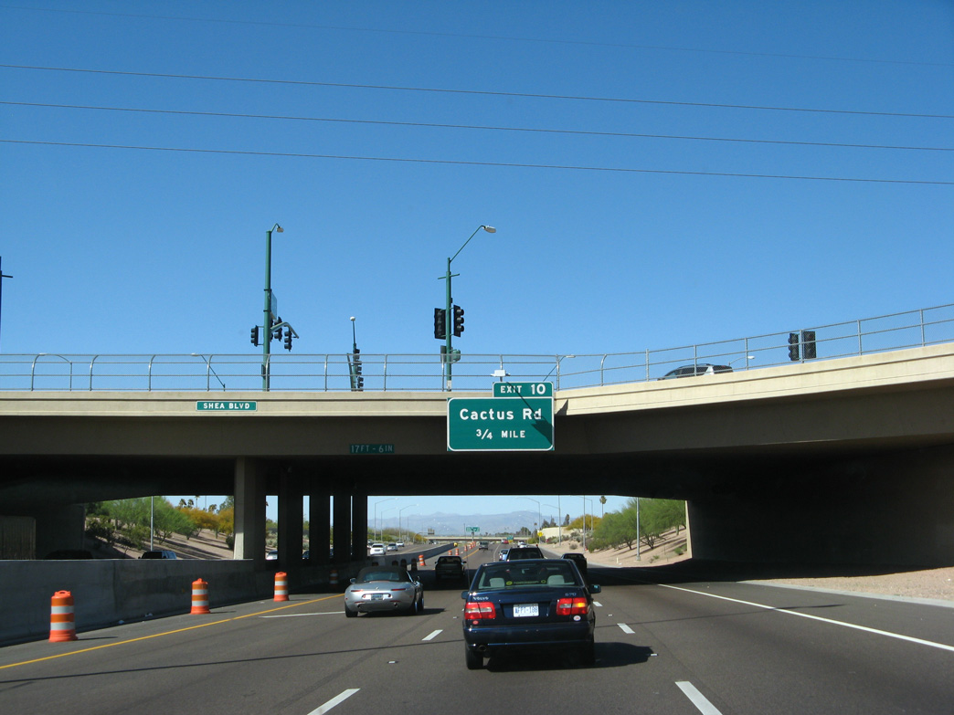
Cactus Road heads west from the SPUI (Exit 10) with SR 51 to the continuation of Thunderbird Road around the Phoenix Mountains Preserve.
03/18/07
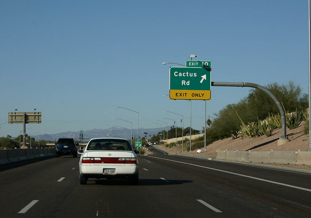
East from Exit 10, Cactus Road continues to Paradise Valley Mall and Loop 101 in Scottsdale.
01/20/08
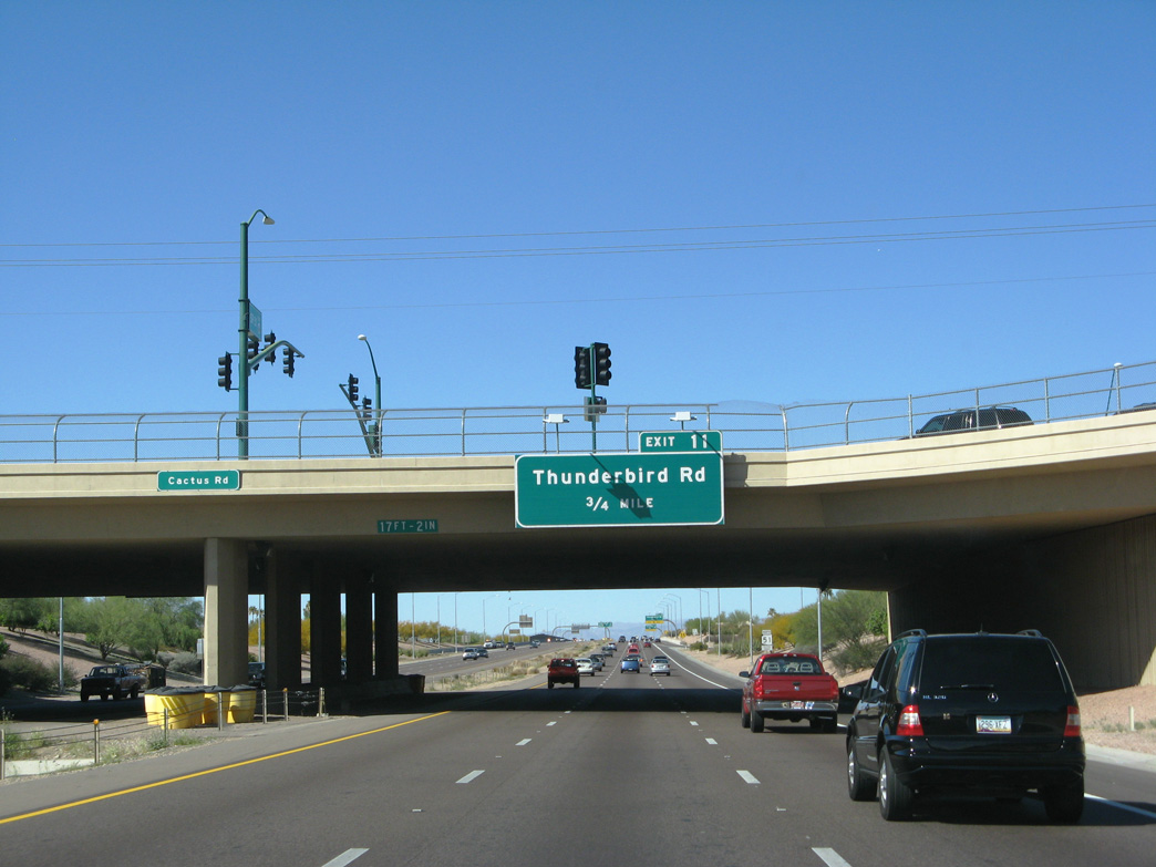
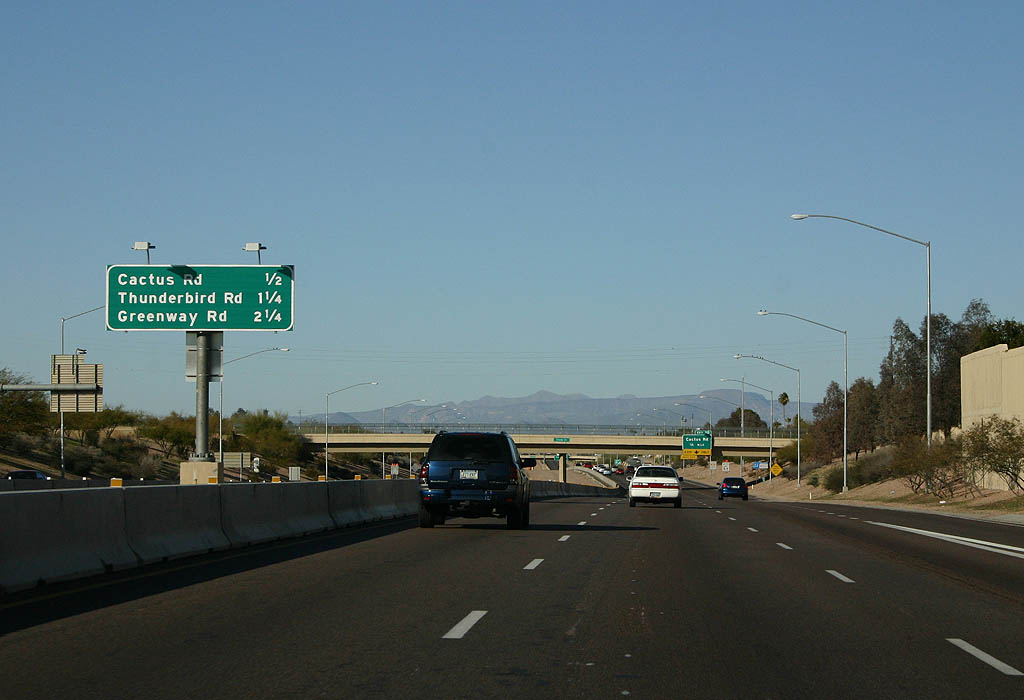
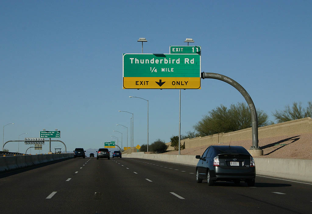
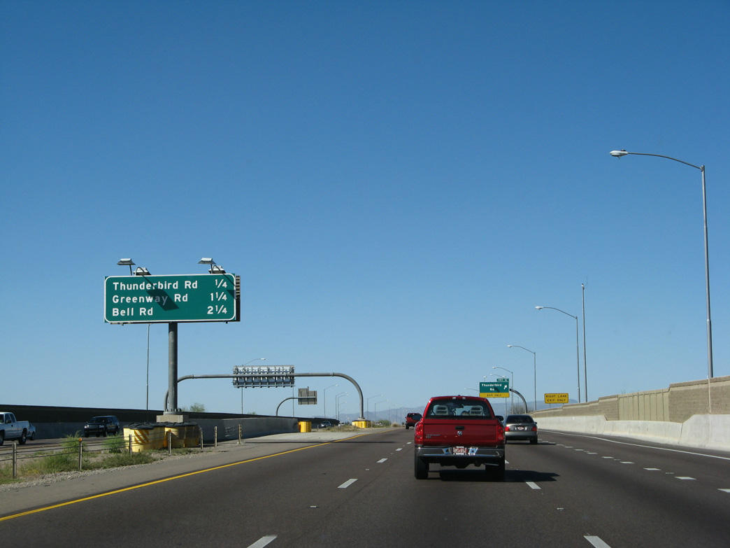
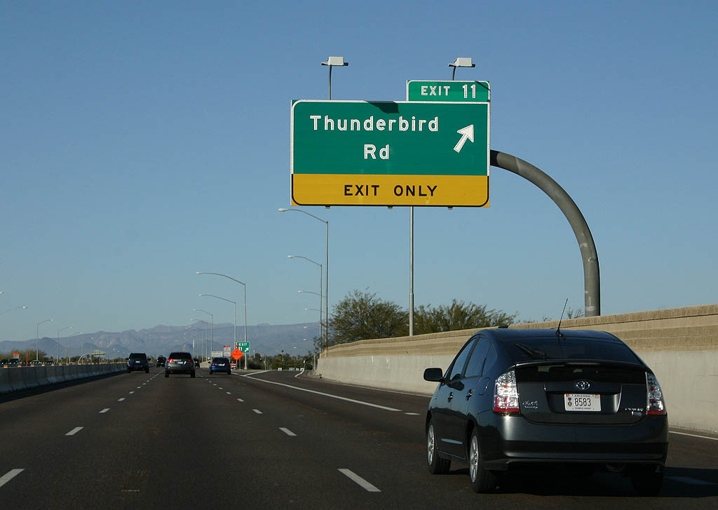
A half diamond interchange (Exit 11) joins SR 51 with Thunderbird Road in 0.75 miles.
03/18/07
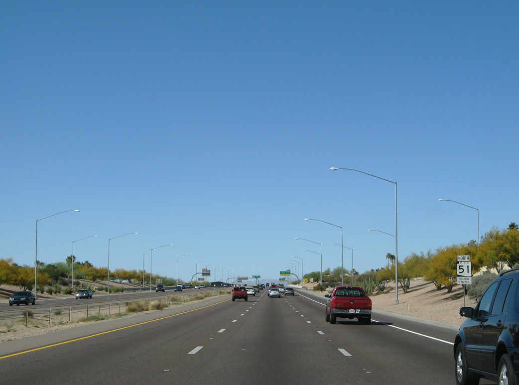
Traffic counts gradually decrease along SR 51 north from a peak of 172,309 vpd recorded by ADOT in 2018 ahead of Exit 7 to 132,576 vpd leading to Exit 11.
03/18/07
Thunderbird Road leads west to Shadow Mountain Preserve at N 28th Street and east to Scottsdale Road near Scottsdale Airport (SCF).
01/20/08
03/18/07
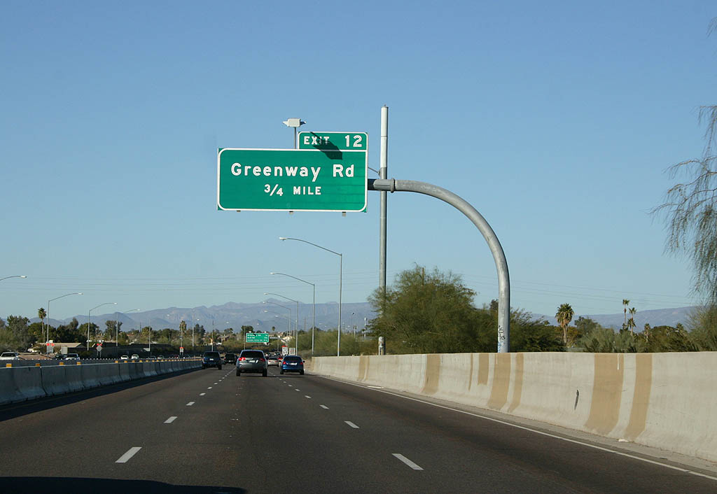
Northbound SR 51 advances 0.75 miles from Cactus Road with three through lanes to Greenway.
01/20/08
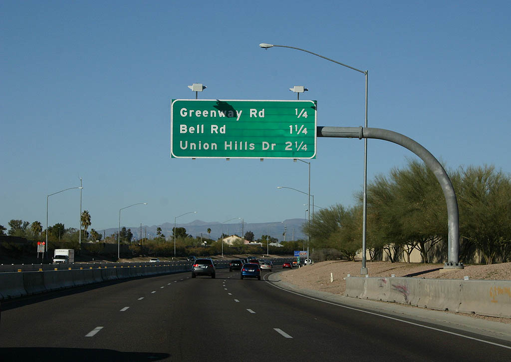
Conforming to USGS section lines, the succeeding exits with Bell Road and Union Hills Drive show that major streets within the Phoenix area grid system are spaced exactly a mile a part.
01/20/08
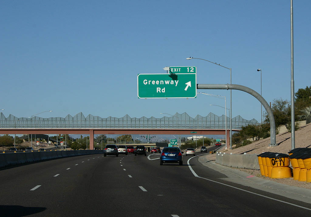
The off-ramp (Exit 12) for Greenway Road passes beneath a stylized pedestrian overpass, designed to represent the peaks of Phoenix.
01/20/08
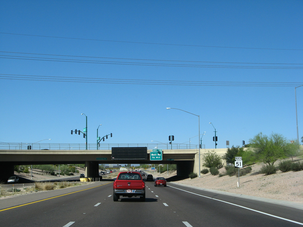
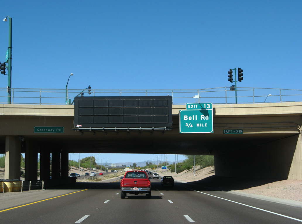
SR 51 advances 0.75 miles north from the SPUI with E Greenway Road to Exit 13 for Bell Road.
03/18/07
With six overall lanes, Bell Road is a primary arterial east across the North Valley.
01/20/08
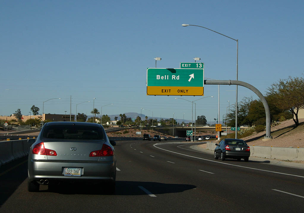
The exchange with Bell Road (Exit 13) was the north end of State Route 51 until May 31, 2003.
01/20/08
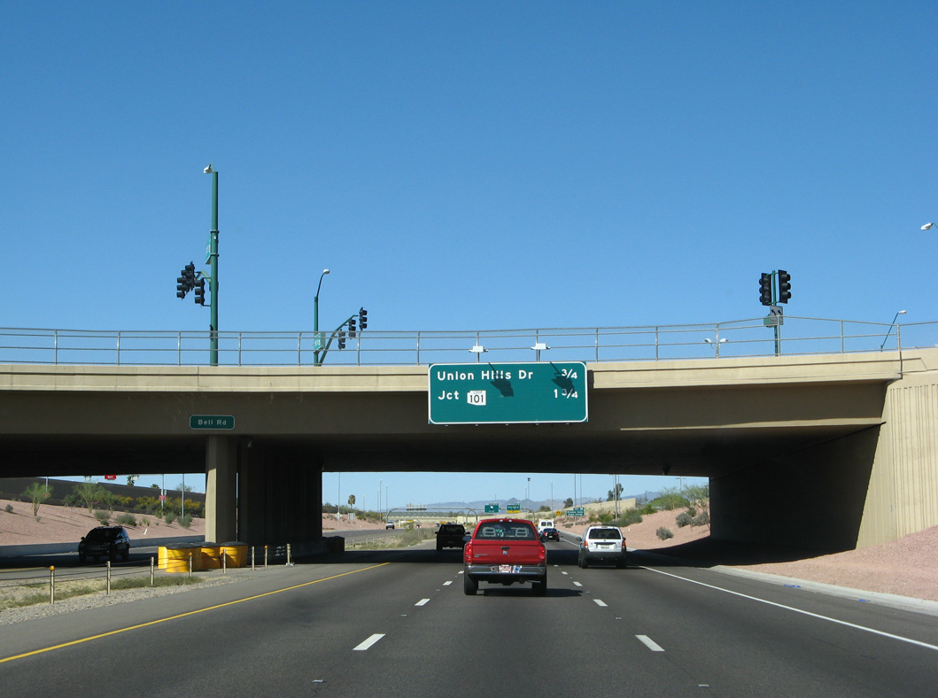
1.75 miles remain along SR 51 (Piestewa Freeway) north from Bell Road to Loop 101. The succeeding exit is with Union hills Drive east of Paradise Valley Community College.
03/18/07
An auxiliary lane opens along SR 51 northbound from Bell Road to Exit 14.
01/20/08
A pedestrian bridge spans the Piestewa Freeway at Paradise Valley Park.
03/18/07
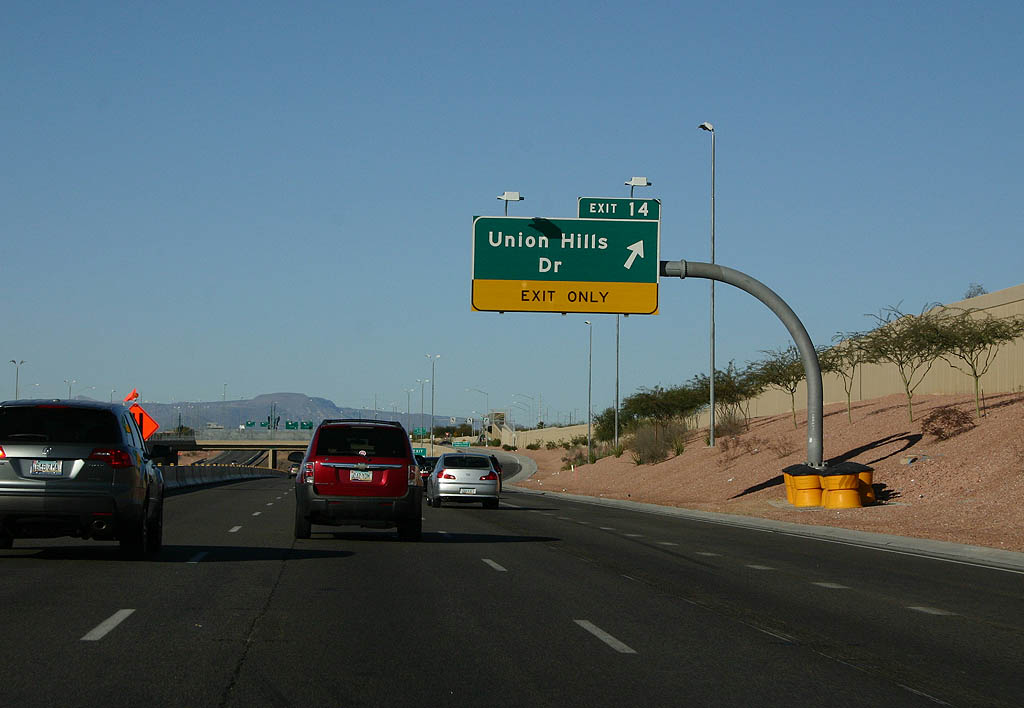
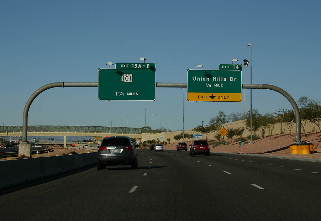
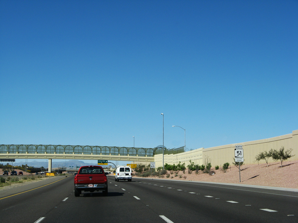
A single point urban interchange (SPUI) connects SR 51 with E Union Hills Drive at Exit 14.
01/20/08
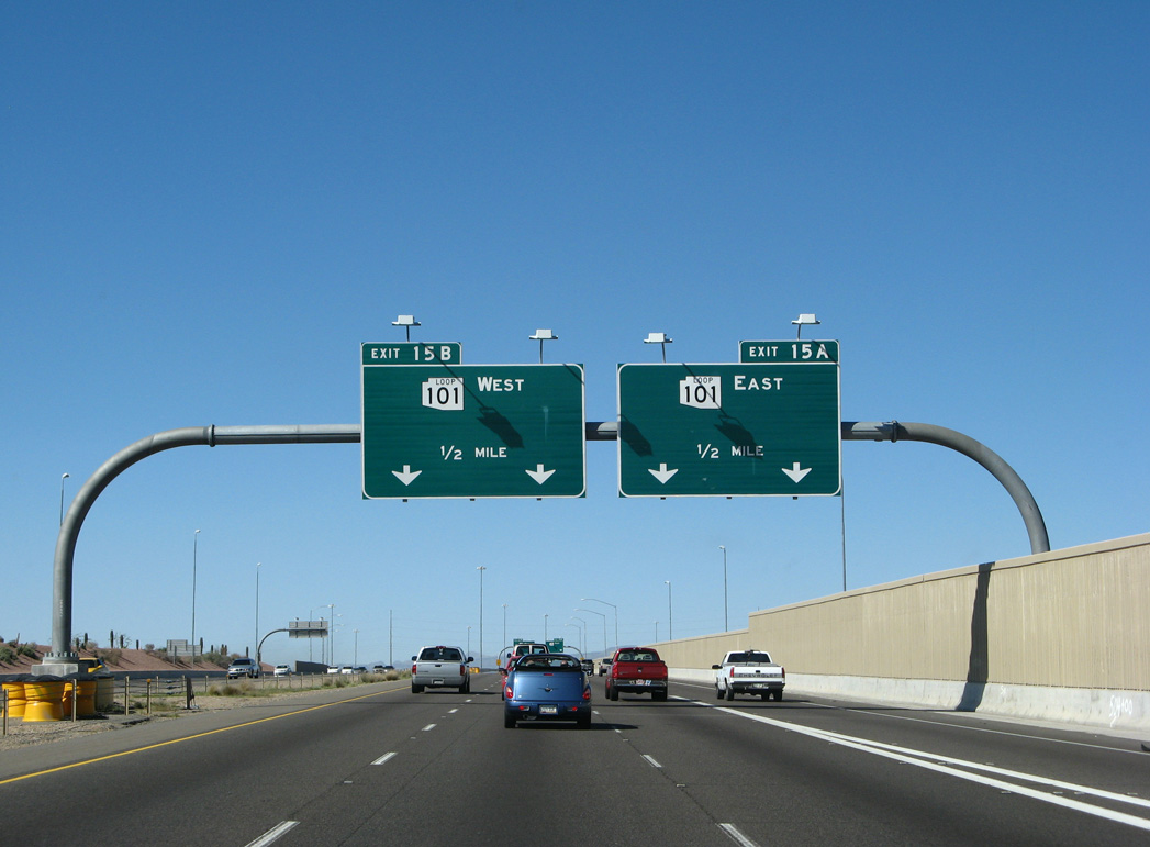
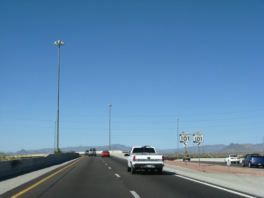
SR 51 (Piestewa Freeway) spans the Hayden-Rhodes Aqueduct leading into the directional T interchange (Exit 15) with Loop 101 (Pima Freeway).
03/18/07
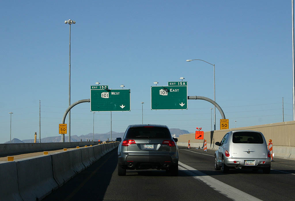
Construction underway at the north end of SR 51 in 2008 added an HOV ramp to Loop 101 (Pima Freeway) eastbound.
01/20/08
The flyover to Loop 101 west was expanded with a separate ramp linking SR 51 north with Black Mountain Road in 2016.
03/18/07
scenes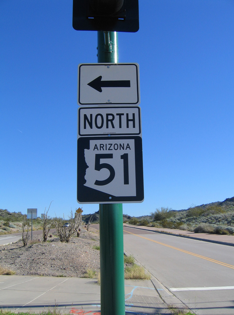
Northern Avenue east at SR 51 and the Phoenix Mountains Preserve.
01/17/05
Northern Avenue west at SR 51 (Piestewa Freeway).
01/17/05
E Greenway Road meets SR 51 (Piestewa Freeway) at a SPUI beyond a pedestrian overpass.
03/01/03
Photo Credits:
- AARoads: 01/17/05, 03/18/07
- Kevin Trinkle: 01/20/08
- Andy Field: 03/01/03, 03/18/07
Connect with:
Page Updated Thursday July 02, 2020.