
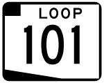
Loop 101
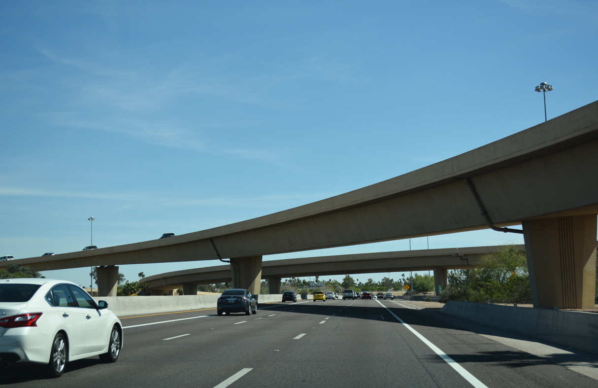
Traveling south along the Price Freeway (Loop 101) at the tri-level interchange with the Superstition Freeway (U.S. 60) in Tempe. - 04/26/2017
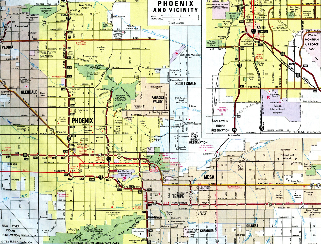
Forming a hook shaped route around the Valley of the Sun, Loop 101 constitutes a 60.34 mile1 freeway that joins Phoenix with Glendale, Peoria, Scottsdale, Tempe and Chandler. Beginning at Interstate 10 (Papago Freeway) in Tolleson then proceeding north, Loop 101 follows the Agua Fria Freeway to I-17 (Black Canyon Freeway) at Deer Valley in Phoenix. The Pima Freeway takes Loop 101 east and south through Scottsdale to Loop 202 along the Tempe and Mesa city line. The remainder of Loop 101 south follows the Price Freeway to Loop 202 (Santan Freeway) west of Downtown Chandler.
Paid for with a transportation sales tax increase approved by Maricopa County voters in 1985, the entire Loop 101 freeway system was built in stages from 1987 to 2002 at a cost of $1.25 billion. Opened to traffic on April 7, 2002, the final segment of Loop 202 built was a two mile link in Scottsdale.2
Loop 101 Guides
Inner

North - Agua Fria Freeway - 59 photos
East - Agua Fria Freeway - 29 photos
East - Pima Freeway - 46 photos

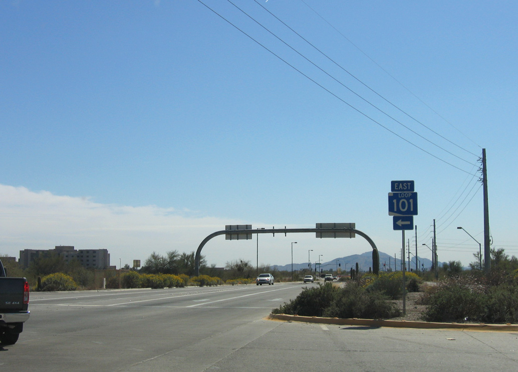
South - Pima Freeway - 50 photos
South - Price Freeway - 32 photos
Outer
Agua Fria Freeway
Flanked by 99th Avenue and McDowell Road, Loop 101 begins at a three level systems interchange with I-10 in the city of Tolleson. Loop 101 advances north initially through western reaches of Phoenix before entering Glendale at the Camelback Road interchange (Exit 5). The Agua Fria Freeway passes west of State Farm Stadium on the ensuing stretch to Northern Avenue, where it crosses into Peoria. Loop 101 continues to angle northerly through the city of Peoria, following the New River, then turns east along Beardsley Road meeting I-17 (Black Canyon Freeway) at the North Stack interchange opposite the Pima Freeway.
1996 Gousha inset of the Phoenix metro area showing the opened sections of the Loop 101 freeway system.
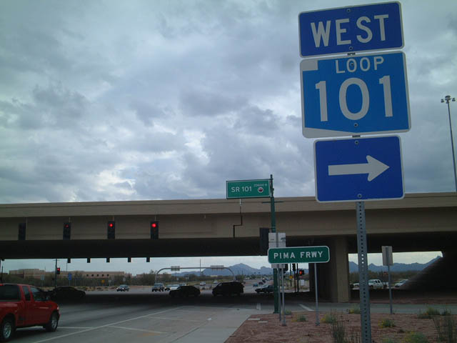
Pima Freeway
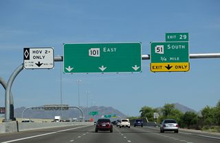
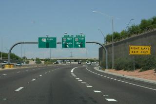
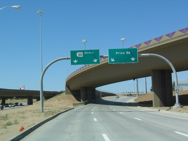
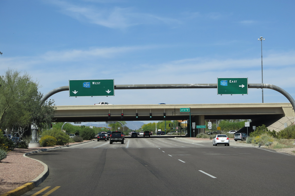
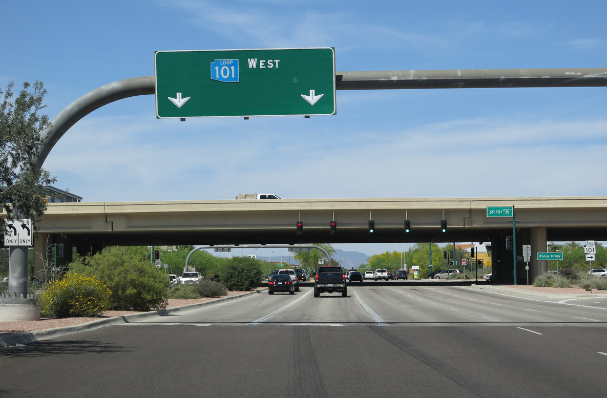
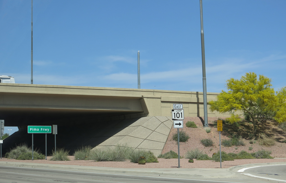
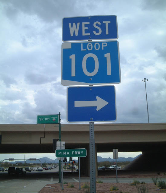
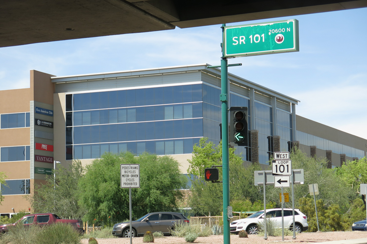
Leaving I-17 at Deer Valley, the Pima Freeway continues Loop 101 east across northern Phoenix, meeting the Piestewa Freeway (SR 51) ahead of its southeast turn to Scottsdale. Once in Scottsdale, Loop 101 curves south and overtakes five miles of Pima Road. The Pima Freeway leaves the former alignment at Exit 42 when Loop 101 jogs east into the Salt River Pima-Maricopa Indian Community. Loop 101 continues south to cross the Salt River ahead of a systems interchange with Loop 202 (Red Mountain Freeway) and the Price Freeway.
Price Freeway
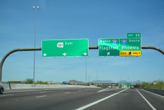
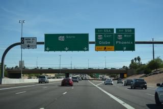
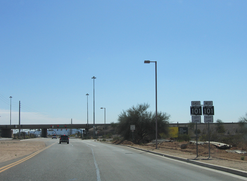
South of Loop 202, Loop 101 overlays the Price Freeway as it beelines through Tempe to a multilevel interchange with U.S. 60 (Superstition Freeway) at Exit 55AB. Beyond the Superstition Freeway, Loop 101 straddles the limits of Tempe and Mesa prior to entering Chandler. Loop 101 and the Price Freeway conclude at an interchange with Loop 202 (Santan Freeway) west of downtown Chandler.
The section of Loop 101 that travels through the Salt River Pima-Maricopa Indian Community came about through controversy between the Tribe president and City / State officials. When the freeway was initially planned through Scottsdale it was to overlay a seven mile stretch of Pima Road, at which time lined both the municipality and Indian Community. Initial negotiations started in 1982 between Scottsdale, Arizona Department of Transportation (ADOT) and the Tribe, but quickly stalled resulting in an eight year stalemate. Constant disputes between all parties lasted until 1990, when a deal was finally reached. The portion of Loop 101 between Pima Road near Via Linda and the Salt River would be constructed within Indian Community lands, along with any interchanges planned along the freeway. In addition, the State awarded the Tribe $247 million.3
 Scenes
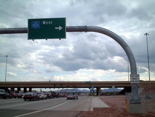
Southbound Tatum Boulevard as it approaches Loop 101 (Pima Freeway) in North Phoenix. Though the use of colored shields along the Phoenix freeway system was phased out beginning in 2003, this overhead remains in place as of February 2020.
03/01/03
This vintage shield once stood at the departure ramp to Loop 101 (Pima Freeway) west along Tatum Boulevard south. The assembly was removed sometime after 2003 and has not been replaced since.
03/01/03

56th Street travels south from Deer Valley Drive to meet Loop 101 (Pima Freeway) in one half mile. This shield assembly was replaced by April 2015.
03/04/03
These reversed colored shields posted ahead of the diamond interchange were still standing as of April 2019.
03/04/03

Loop 101 travels west along the Pima Freeway across northern reaches of Phoenix to Interstate 17 opposite the Agua Fria Freeway.
03/04/03
A vintage blue colored shield previously posted along 56th Street south at the entrance ramp to Loop 101 (Pima Freeway) east. 56th Street continues to cross Mayo Boulevard next.
03/04/03
Price Road connects to the northbound beginning of the Price Freeway as the arterial weaves through the exchange between Loop 101 and 202 (Santan Freeway).
03/28/04
Tatum Boulevard meets Loop 101 (Pima Freeway) at Desert Ridge in northeast Phoenix.
04/06/13
Button copy overheads with blue shields for Loop 101 on Tatum Boulevard north at the Pima Freeway were replaced by 2019.
04/06/13
Tatum Boulevard enters the SPUI with Loop 101 just south of retail area anchored by Desert Ridge Marketplace.
04/06/13
Photo Credits:
- Andy Field: 03/01/03, 03/04/03, 03/28/04, 04/06/13
Connect with:
Page Updated Friday April 15, 2022.