
State Route 99

Intended to be a longer route, SR 99 travels 43.10 miles within Coconino and Navajo Counties, spurring north and south of Winslow.
SR 99 begins southeast of Winslow, traveling toward the city where it combines with SR 87 for 1.20 miles. Beyond Winslow, SR 99 overlaps with I-40/U.S. 180, then leads northwest to Leupp in the Navajo Nation where the state route ends.
Added to the State Highway System in 1967 between Winslow and Heber, the first leg of SR 99 was originally SR 487. The second leg, between Interstate 40 and Gray Mountain, was added to the State Highway in 1968. Both corridors were combined in 1969 solely as SR 99. SR 487 was only signed in the field for one year.
The northern leg towards the Grand Canyon was planned as a shortcut for travelers from the east to reach the National Park.
Subsequently section of the proposed route south of the current end of SR 99, via Chevelon Canyon and the Sitgreaves Forest, was deleted from the State Highway System in 1977. The remaining section was included in the system to facilitate logging traffic from the forest to a sawmill that no longer exists.
With the growth of electronic mapping tools, some of them (including Google Maps) show SR 99 as a through route from Winslow south to SR 260. While the road is technically a through route, it is not a state maintained highway for the entire distance. Furthermore, the route is unpaved for approximately one third of the length between Winslow and SR 260. Additionally, the road is closed during winter months in Sitgreaves National Forest. In December 2011, a young woman made the news for being stuck on Forest Road 34 for approximately two weeks.
 South
South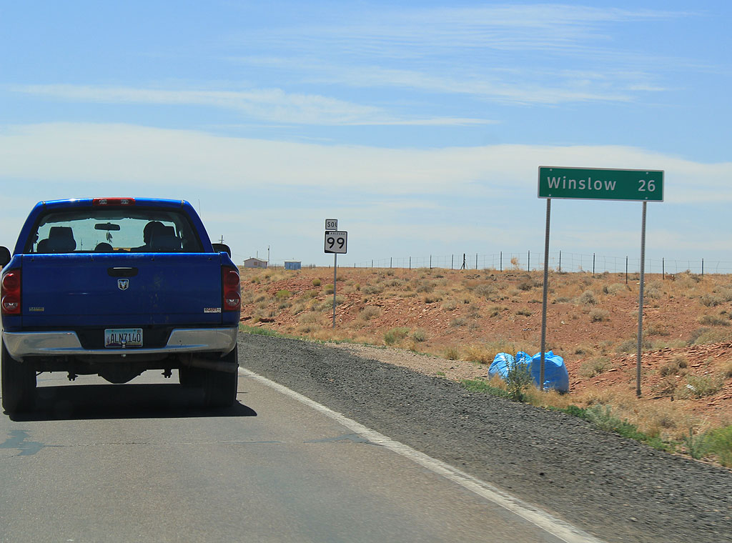
SR 99 begins at Leupp, at Indian Route 15. The first distance sign shows 26 miles remaining to Winslow.
06/19/11
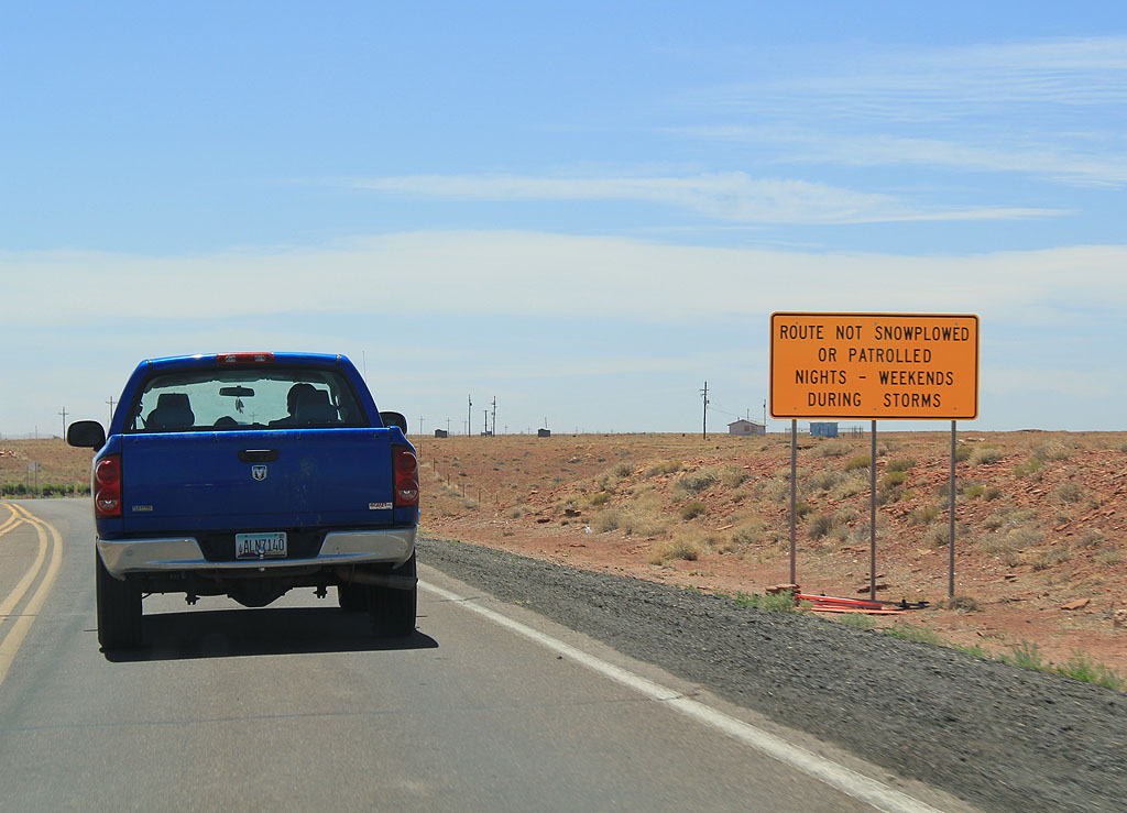
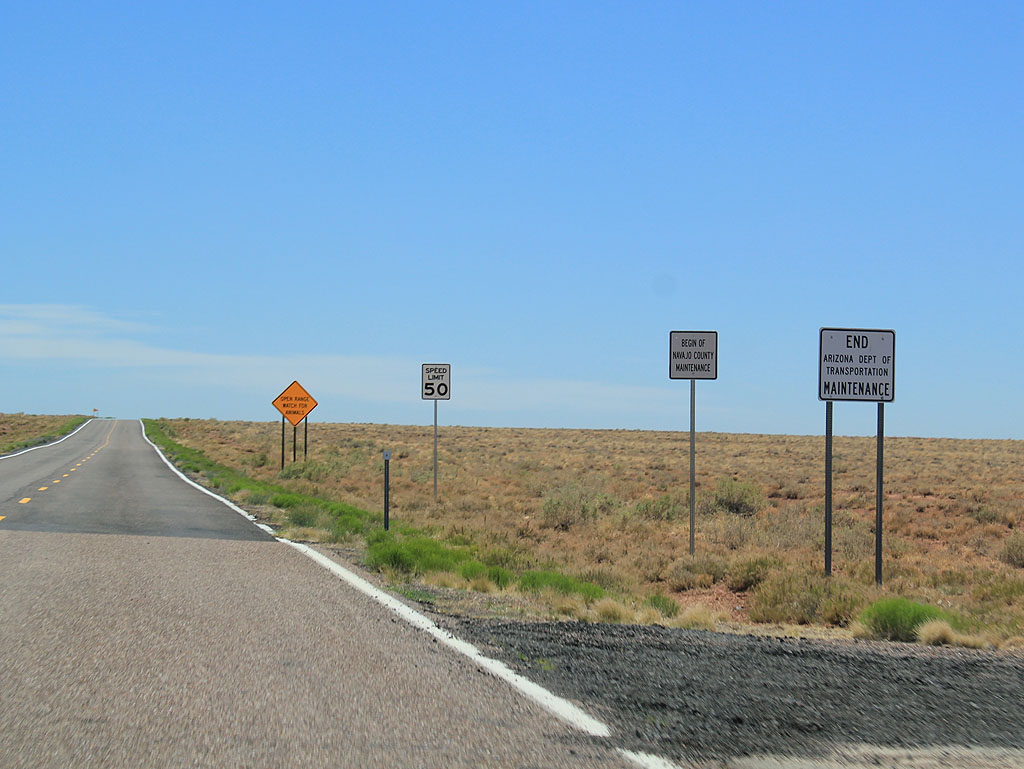
SR 99 is not plowed on nights and weekends during storms.
06/19/11
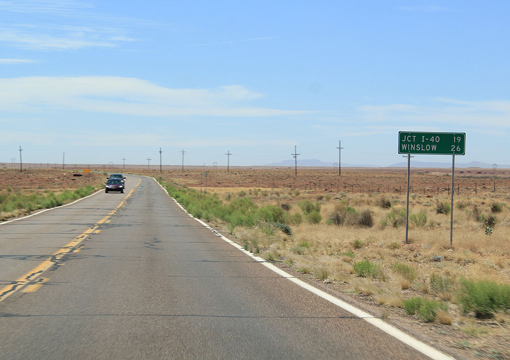
Distance sign to Interstate 40 (19 miles) and Winslow (26 miles).
06/19/11
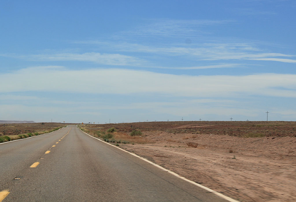
This is one of the few reassurance markers along SR 99.
06/19/11
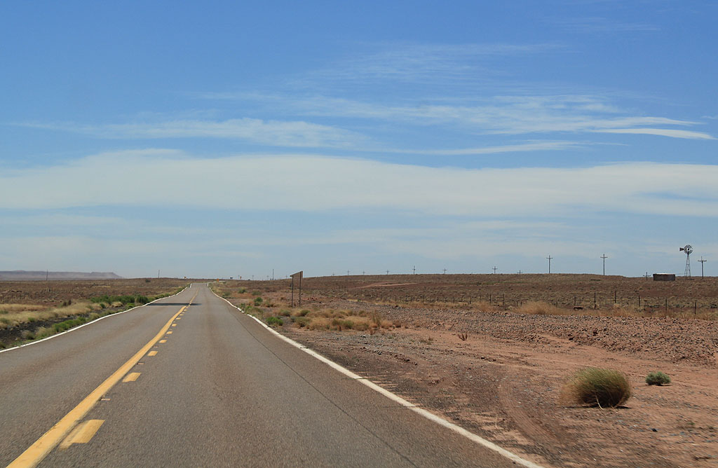
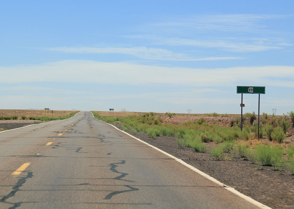
SR 99 travels through largely unpopulated land through the Navajo Nation.
06/19/11
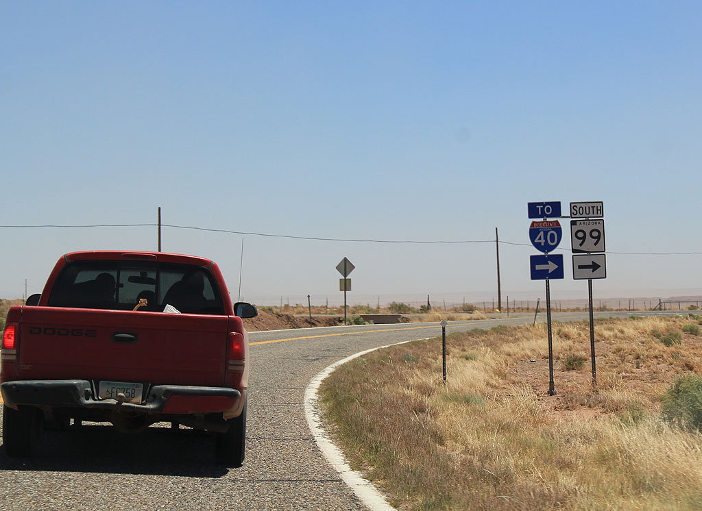
SR 99 has a hard turn to the east when it meets Interstate 40.
06/19/11
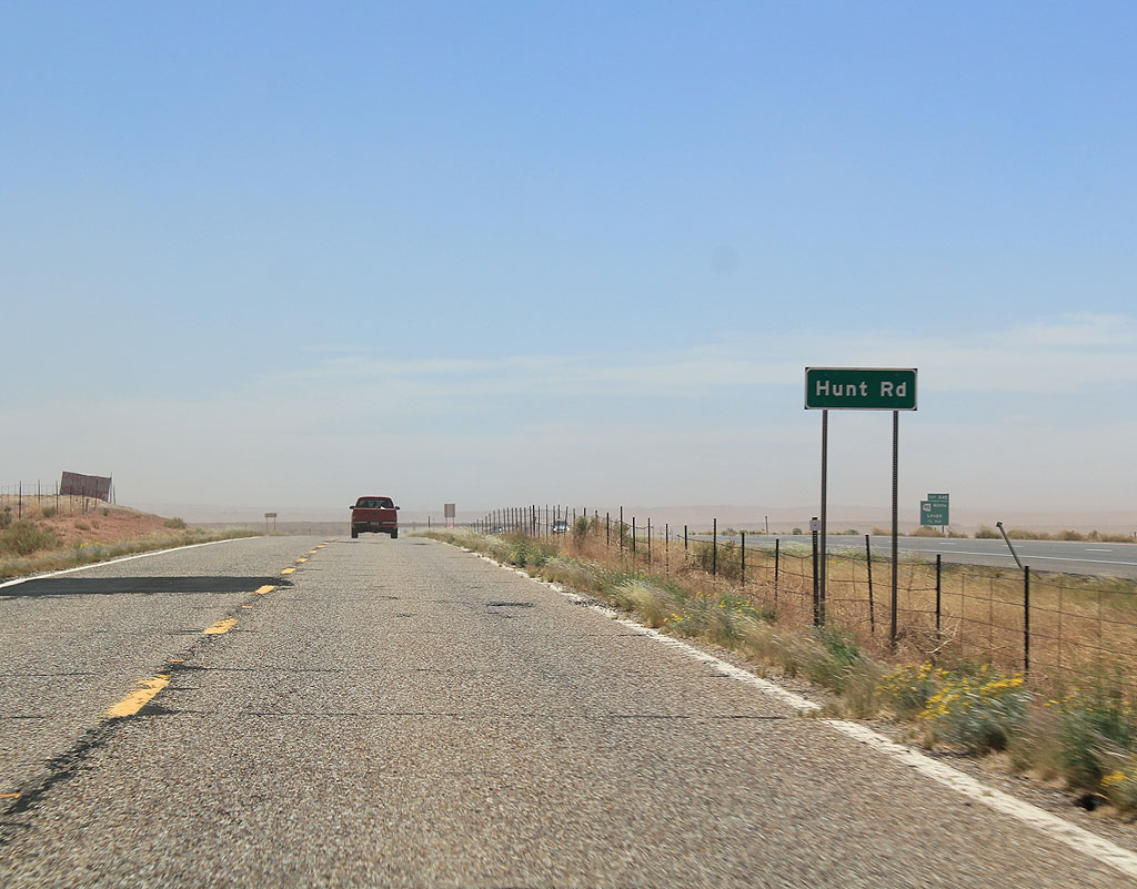
SR 99 becomes Hunt Road, effectively the northbound Frontage road to Interstate 40 at this point. SR 99 parallels Interstate 40 for one mile.
06/19/11
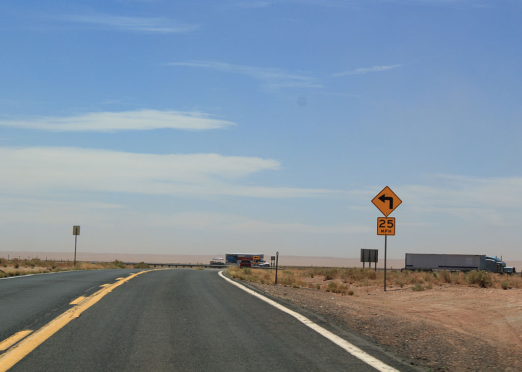
Advance signage for Interstate 40, 1/4 mile.
06/19/11
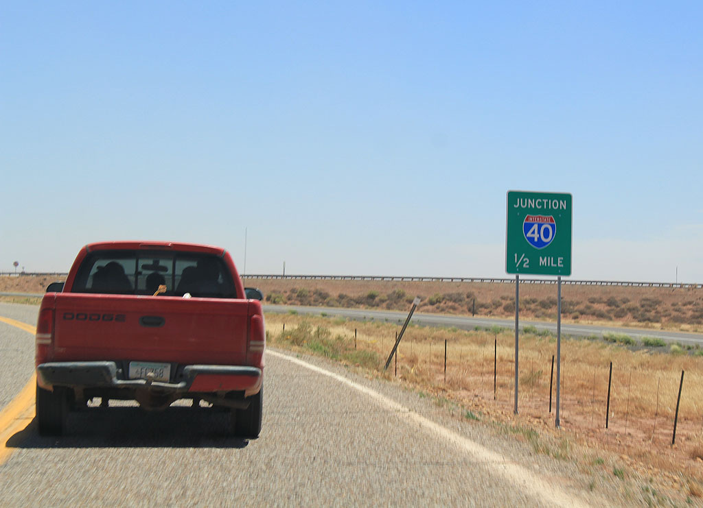
SR 99 meets Interstate 40 here. To continue on SR 99, travellers must join eastbound Interstate 40 to Winslow.
06/19/11
South  East
East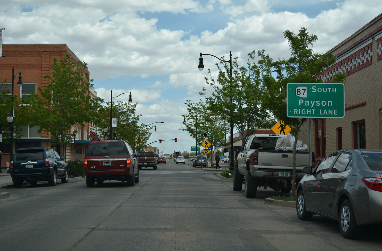
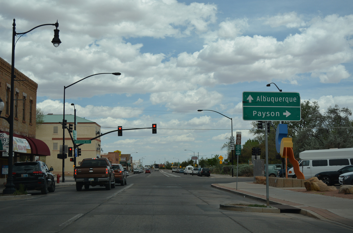
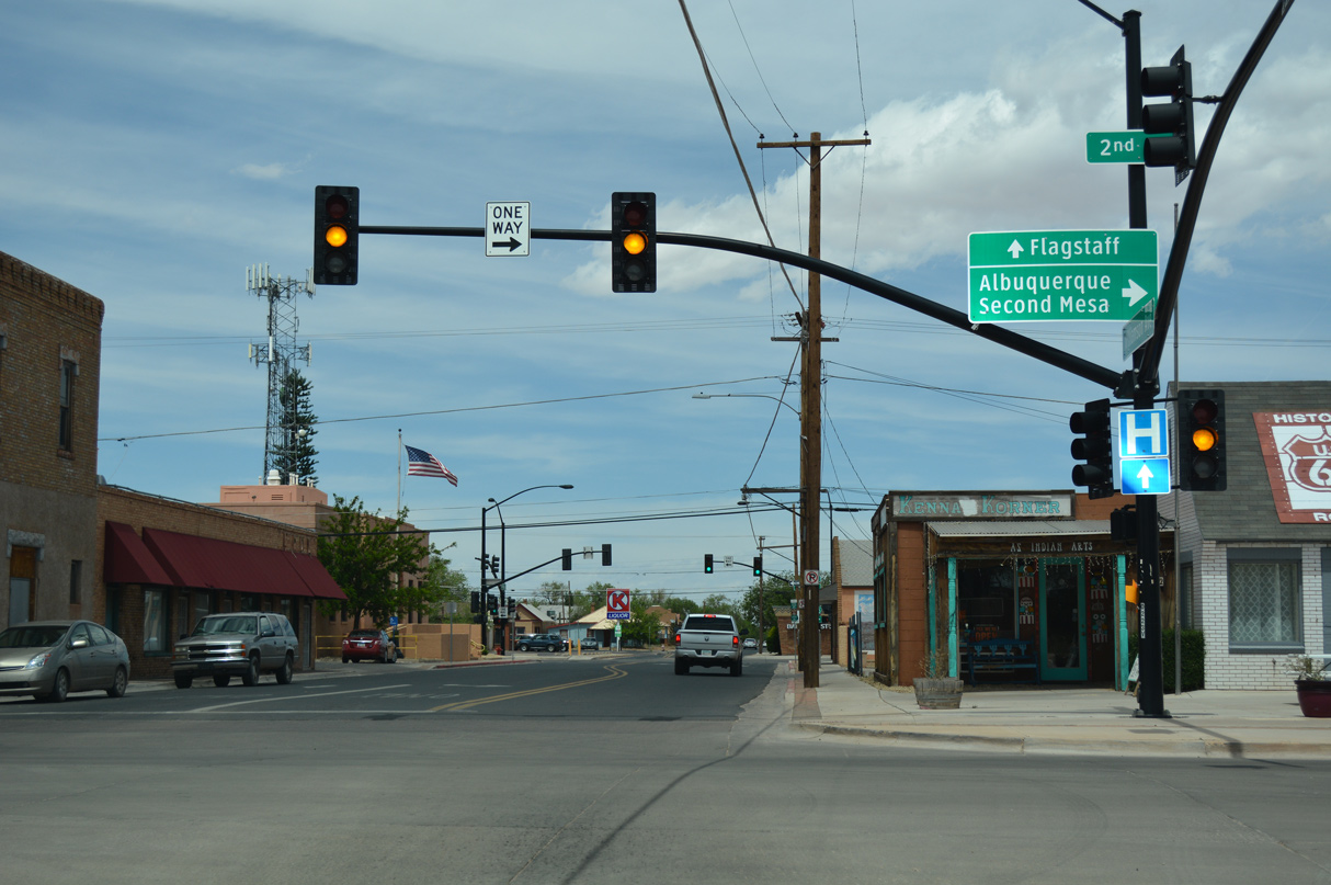
Business Loop I-40/SR 99 enter Downtown Winslow along 2nd Street. The two separate at SR 87 (Williamson Avenue).
04/27/17
SR 87 connects the Navajo Nation and Hopi Reservation in northeastern Arizona with Payson beyond the Mogollon Rim.
04/27/17
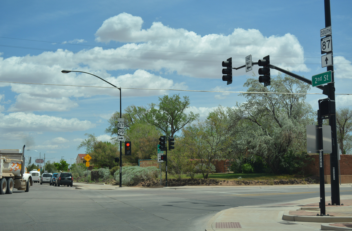
SR 99 combines with SR 87 (Williamson Avenue) south for 1.20 miles from 2nd Street in Winslow.
04/27/17
 South
South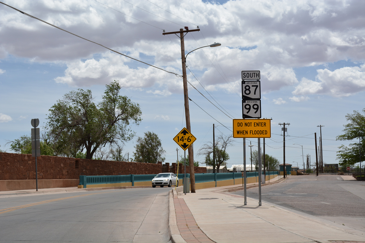
Confirming markers precede the subway taking SR 87/99 (Williamson Avenue) below the BNSF Railroad yard.
04/27/17
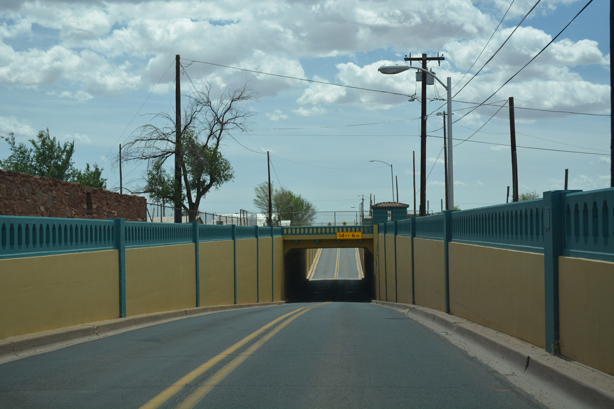
The BNSF Railroad subway along SR 87/99 in Winslow dates back to 1936.
04/27/17
SR 87/99 ascend from the subway at Central Street, just ahead of Airport Road west to Winslow-Lindbergh Regional Airport (INW).
04/27/17
South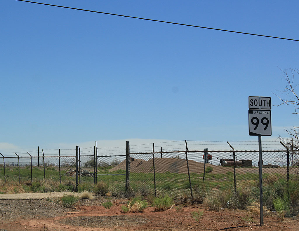
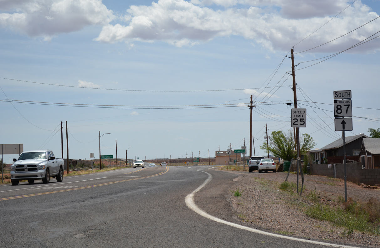
Confirming marker posted east of the separation from SR 87 outside the Winslow city limits.
06/19/11
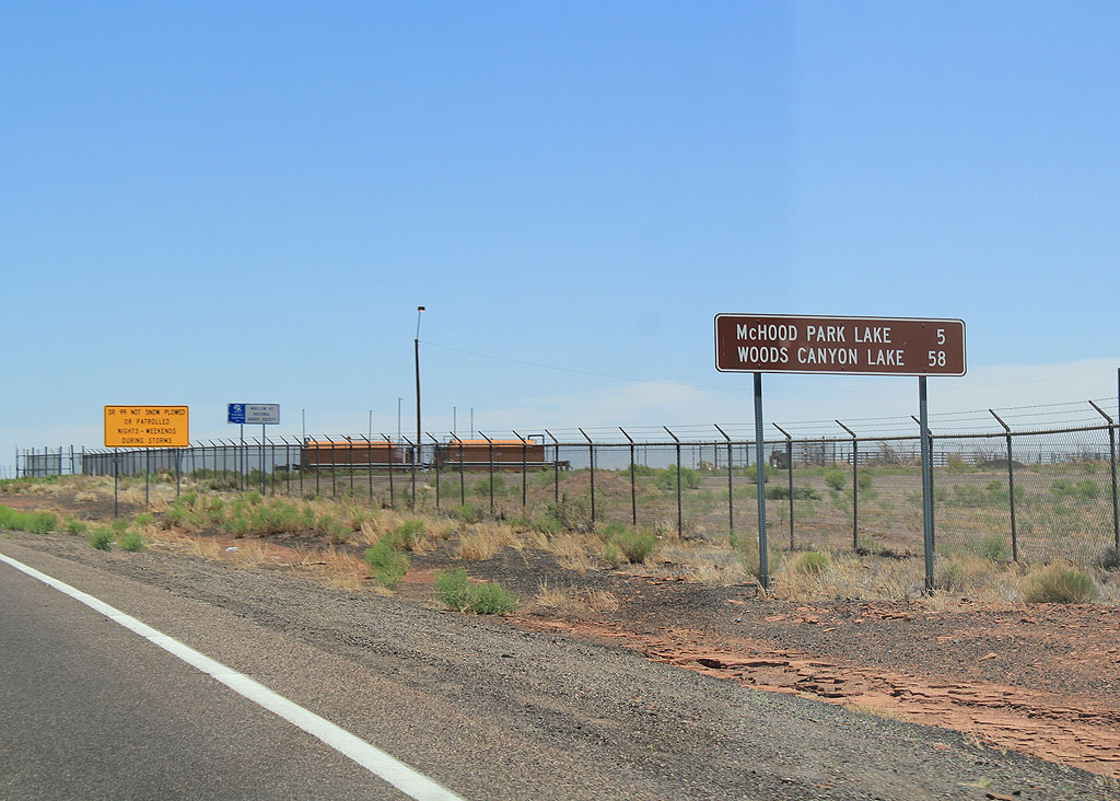
Distance sign to McHood Park Lake (5 miles) and Woods Canyon Lake (56 miles).
06/19/11

SR 99 south from Winslow is not plowed on nights and weekends during storms.
06/19/11
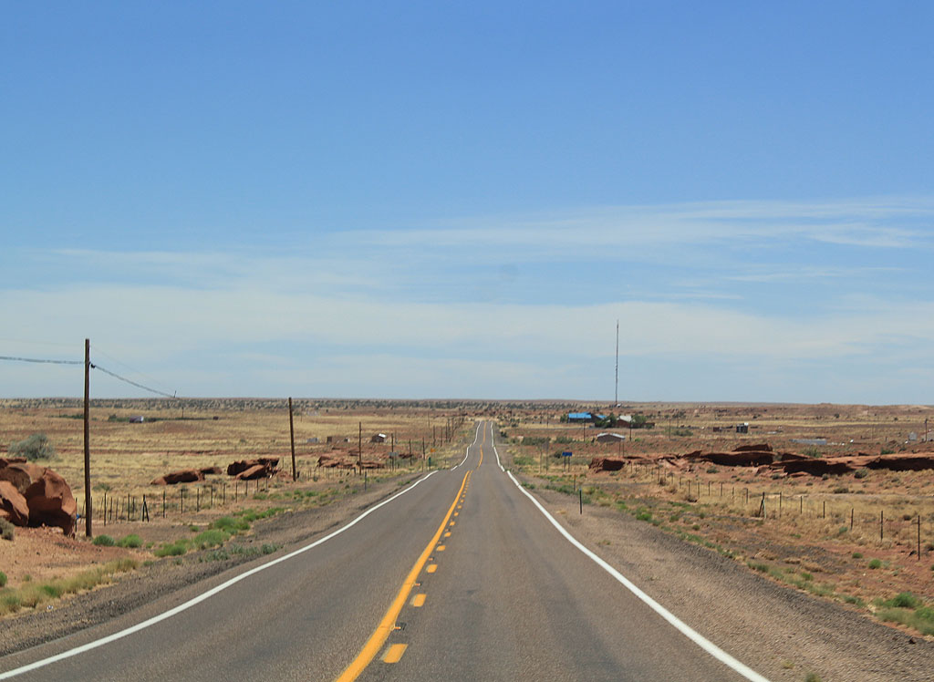
South of Winslow, SR 99 travels through very sparsely populated ranch land. There are no towns along SR 99 or motorist services.
06/19/11
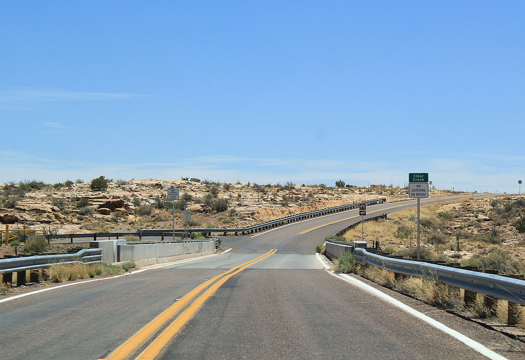
SR 99 crosses Clear Creek. Clear Creek is a small recreation area.
06/19/11
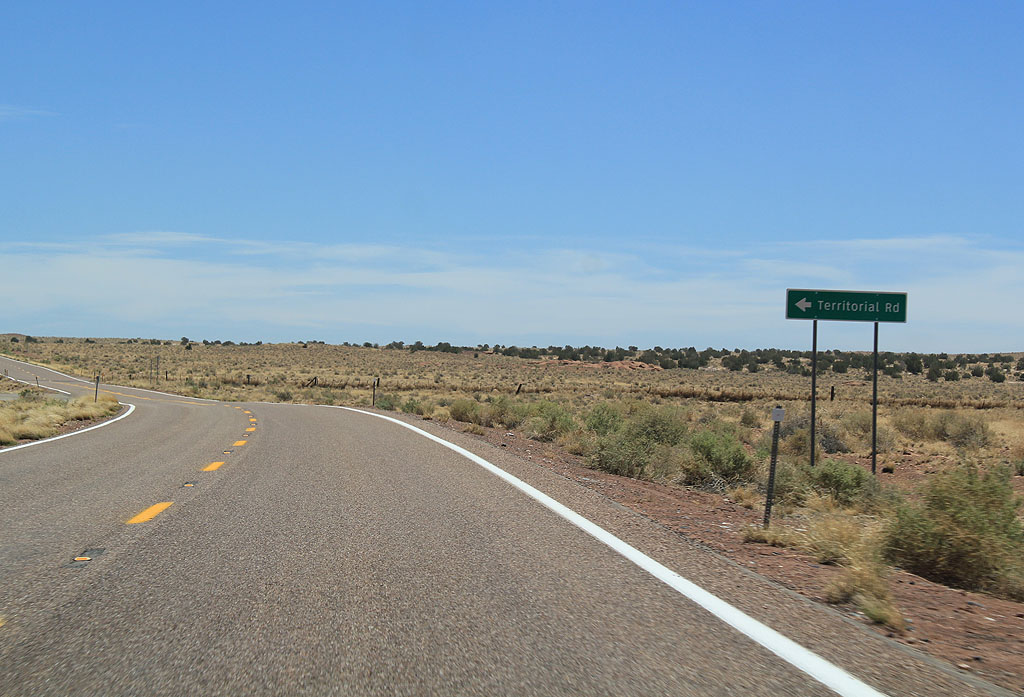
SR 99 south at Territorial Road.
06/19/11
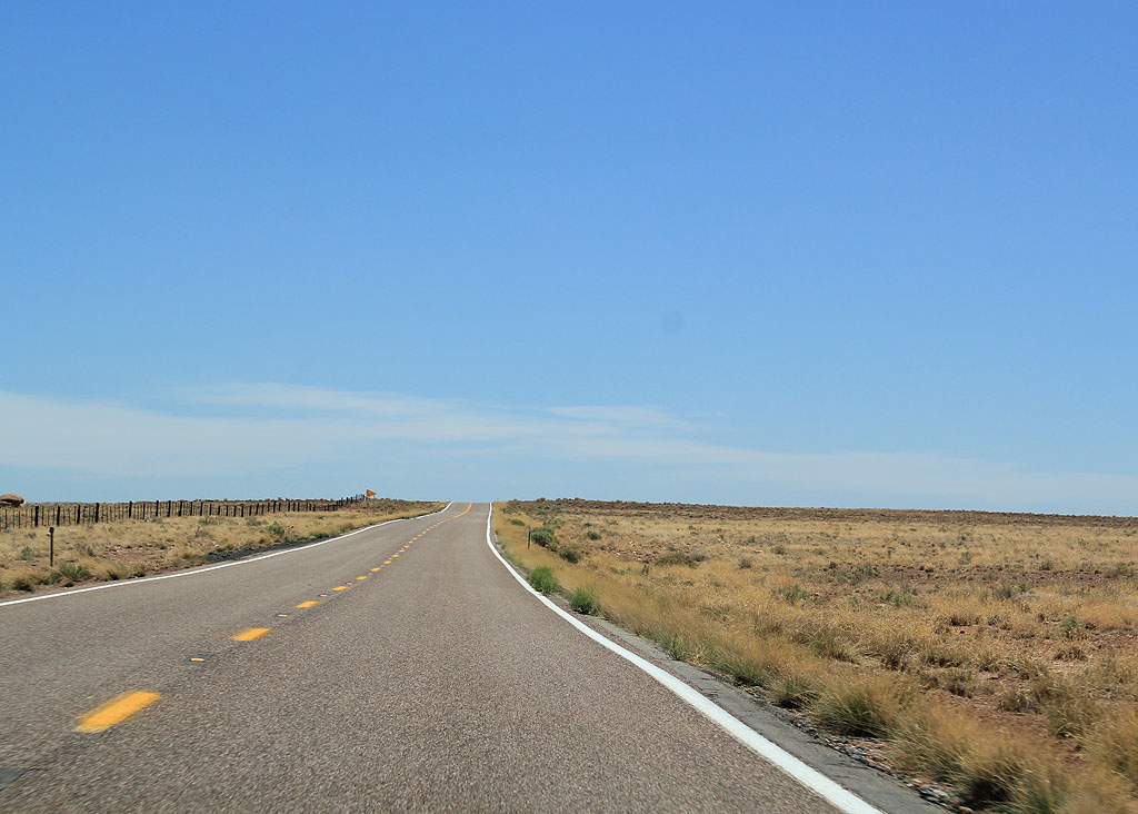
SR 99 continues to travel through desolate ranch country.
06/19/11
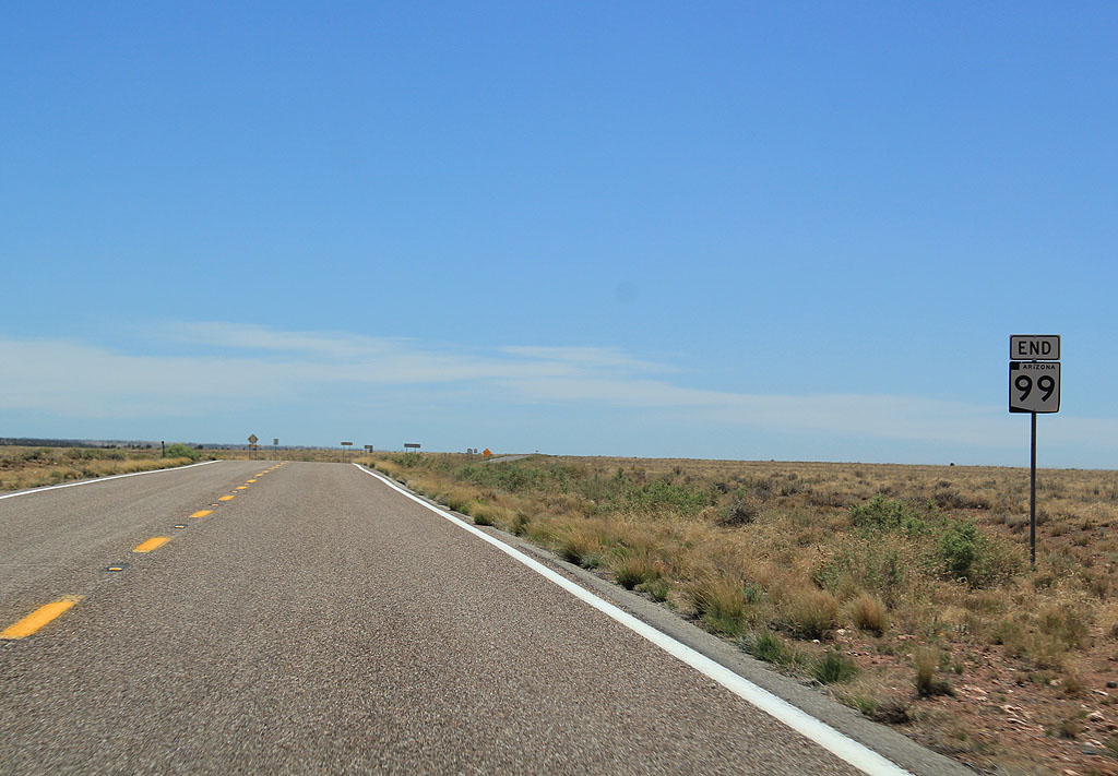
SR 99 ends here.
06/19/11
A Navajo County road extends south from the end of SR 99 to the boundary of the Sitgraves National Forest. Unpaved Forest Road 34 continues beyond that point until reaching Forest Road 300 (the Rim Road).
06/19/11
North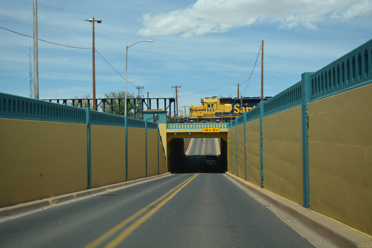
SR 99 accompanies SR 87 north 1.20 miles into the city of Winslow. The two routes lower into a subway dating from 1936 below a BNSF Railroad yard onto Williamson Avenue.
04/27/17
SR 87 combines with Business Loop I-40 (2nd Street) east from SR 99 (Williamson Avenue) in Downtown Winslow.
04/27/17
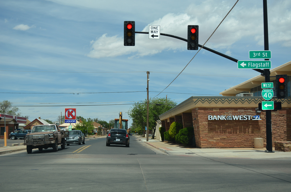
Business Loop I-40 west along 3rd Street connects SR 99 northbound with I-40/U.S. 180 leading west from Winslow. Business Loop I-40 is locally maintained between Williamson Avenue and Hipkoe Drive, along the implied overlap with SR 99.
04/27/17
References:
- Minutes of the State Highway Commission. 4/5/1968, Arizona Highway Commission.
- "Faulty Arizona 99 highway leads drivers to dead end." Arizona Republic, January 1, 2012. Retrieved 1/3/2012.
Photo Credits:
- Kevin Trinkle: 06/19/11
- ABRoads: 04/27/17
Connect with:
Page Updated Friday April 01, 2022.