
State Route 99 North - Gridley to Chico
Northbound California 99 leaves Sutter County and enters Butte County.
05/24/08

Soon thereafter, northbound California 99 enters the city of Gridley "A Small Town that Loves Company". Gridley was incorporated on November 23, 1905, and had a population of 6,584 as of the 2010 Census.
05/24/08

Through Gridley, California 99 widens to five lanes. The main intersection in downtown Gridley is with Sycamore Street, which travels west to become Colusa Highway en route to Colusa. Southwest of here are the Sutter Buttes, which are situated between California 99 and the Sacramento River.
05/24/08

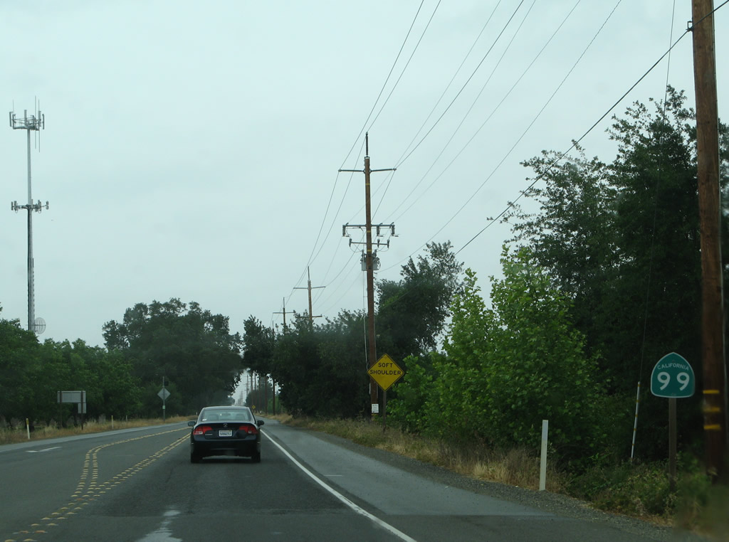
A California 99 north reassurance shield is posted after the Spruce Street traffic signal near downtown Gridley. To the east of here is the Feather River, which separates the California 99 and California 70 corridors.
05/24/08
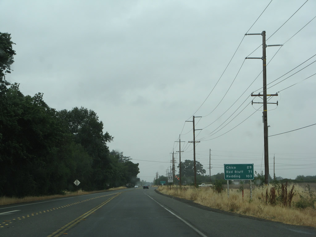
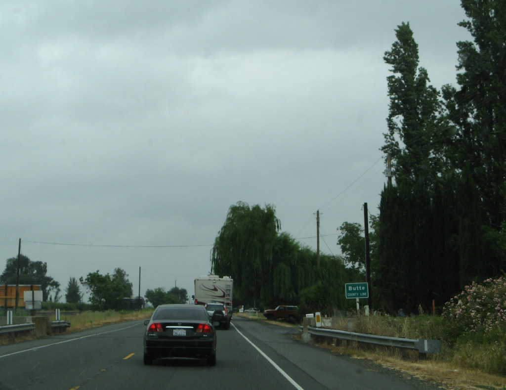
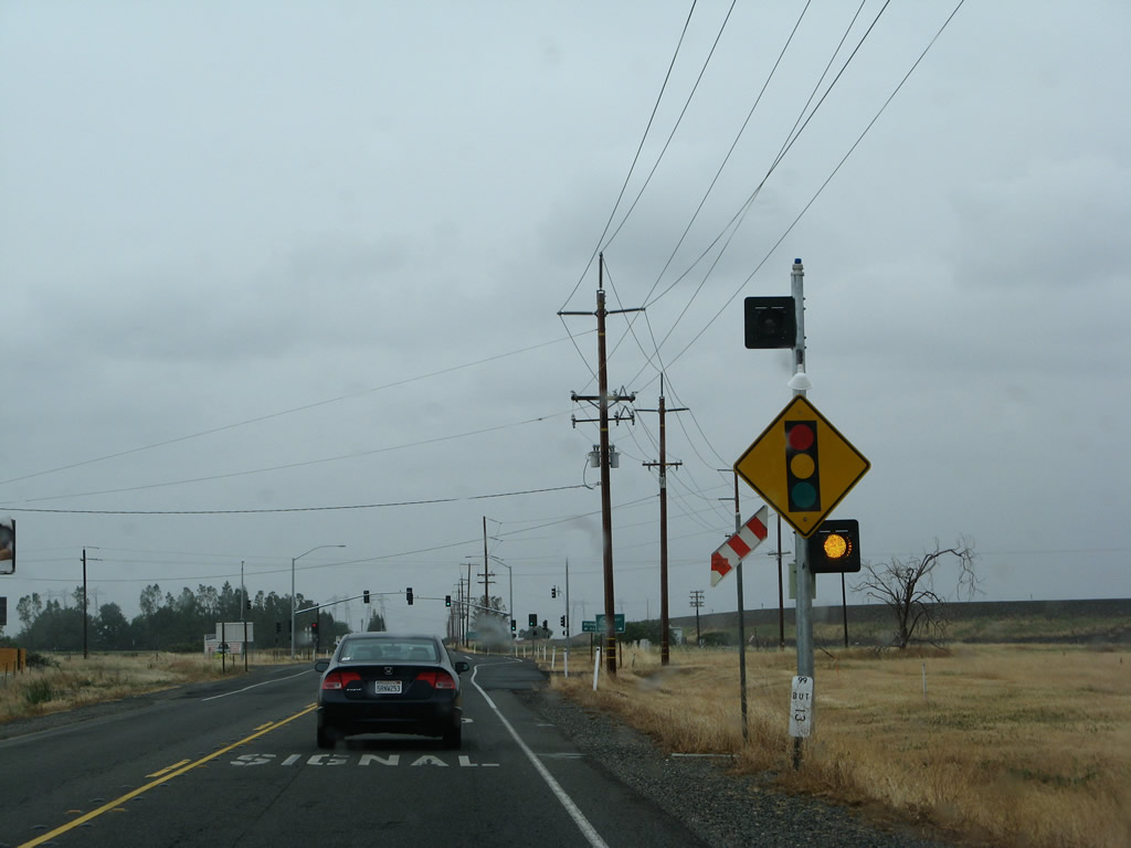
Northbound California 99 continues as a two-lane road as it leaves the city of Gridley. Although the cities along California 99 between Yuba City and Chico are fairly sporadic and the corridor is not highly developed, California 99 carries a fair amount of traffic. This mileage sign provides the distance to Chico (29 miles), Red bluff (71 miles), and Redding (103 miles via California 36 west and Interstate 5 north).
05/24/08
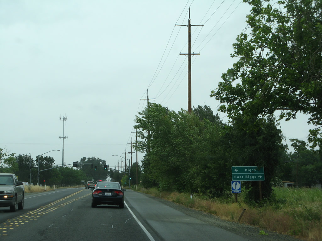
Although California 99 avoids downtown Biggs, this traffic signal connects California 99 to B Street west to Biggs and Biggs East Highway east to East Biggs. The city of Biggs "Where the People Own the Water and Power" and "The Heart of Rice Country" had a population of 1,707 as of the 2010 Census and sits at an elevation of 98 feet. Biggs was incorporated on June 26, 1903, and agriculture is the primary economic driver. Downtown Biggs is located on B Street between Fifth and Seventh Streets west of here. California 99 bypasses Biggs to the east, effectively splitting Biggs from nearby East Biggs.
05/24/08
Another California 99 north route marker is posted after the B Street intersection.
05/24/08
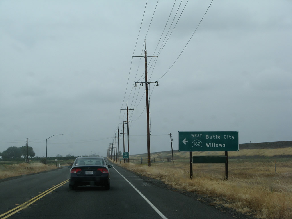
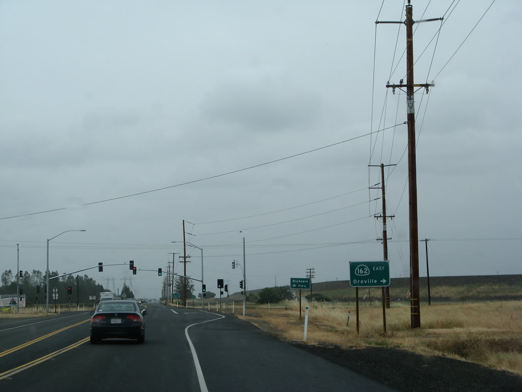
Soon thereafter, northbound California 99 approaches California 162 (Biggs-Willows Road) west to Willows and Elk Creek. This east-west state route has two segments, one in Long Valley and the other here in the Sacramento Valley. This section of California 162 begins at the Mendocino National Forest boundary and travels east across the valley, terminating near Lake Oroville State Recreation Area. For California 162 west to Oroville, stay on California 99 north.
05/24/08
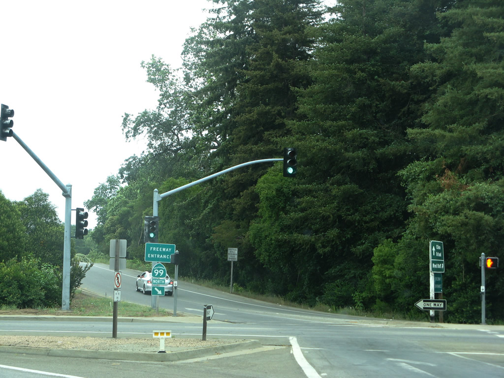
As evidenced by this sign, northbound California 99 merges with eastbound California 162. California 99 and California 162 will travel north together briefly, then separate. On the east side of California 99 is a levee that protects and separates the highway from the Thermalito Afterbay, a large body of water that exists downriver from Oroville Dam. Together with Lake Oroville, the Thermalito Afterbay and Forebay complex are part of the headwaters of the massive California State Water Project, which transports water from Northern California south to Southern California via the California Aqueduct (a portion of which is visible from Interstate 5 in the San Joaquin Valley).
05/24/08
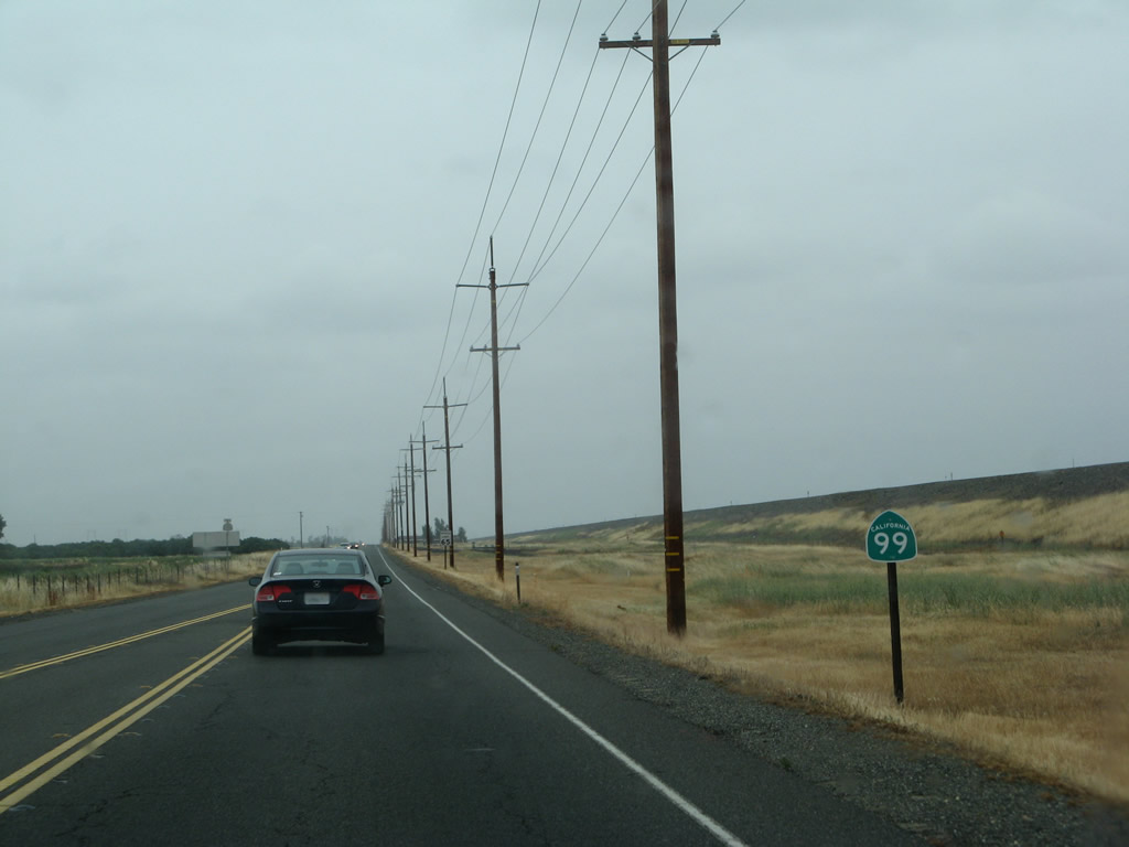
Despite their shared alignment, only California 99 north is evidenced on this reassurance shield found after the California 162 west intersection.
05/24/08
The northern intersection between California 99 and California 162 is governed by a traffic signal, which was not in place in 2003 but was fully functional by 2008.
05/24/08
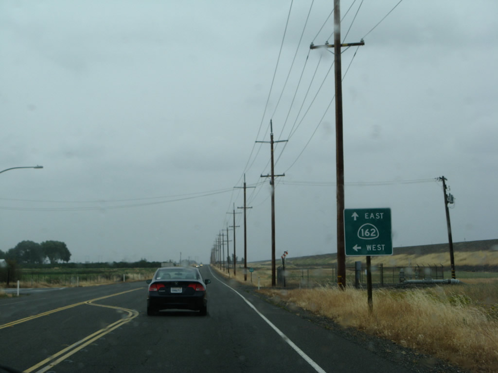
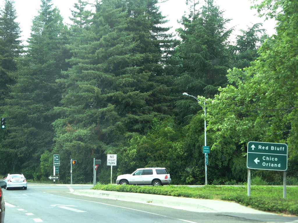
Northbound California 99 and eastbound California 162 split at the traffic signal. Turn right for California 162 east to Oroville and Lake Oroville. Turn left for Richvale Highway west to Richvale. California 162 will skirt the northern edge of the Thermalito Afterbay (built between 1965 and 1968), then meet California 70 in Oroville.
05/24/08
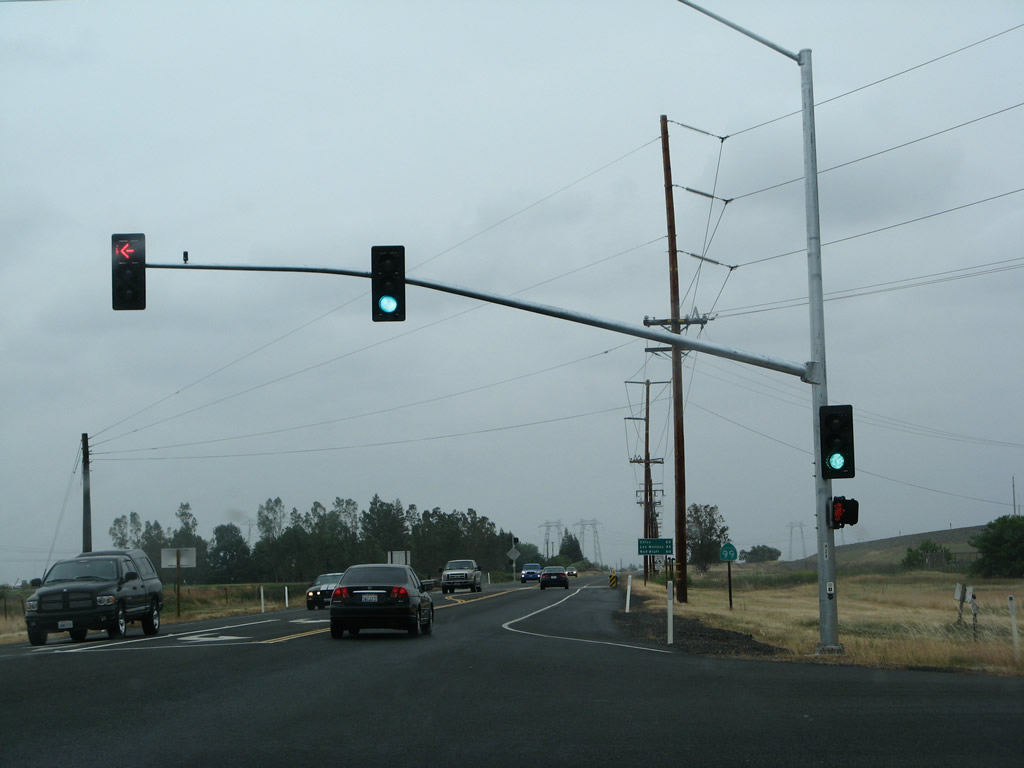
The routes divide at this point. Straight ahead is California 99 north to Chico and Red Bluff. To the left is eastbound California 162 to Oroville. Visible beyond this intersection is the overhead passage of the Path 15 Pacific Gas & Electric 500kV power lines. These lines connect to the Table Mountain Substation just north of here (where power generated by Oroville Dam connects to the statewide power grid). From there, the 500kV power lines extend north to the Round Mountain Substation (east of Lake Shasta) and ultimately connect to the Oregon power grid at the Malin Substation. To the south, the 500kV power lines extend toward the San Francisco Bay Area (connecting to the Vaca-Dixon substation and Tesla substation) and then toward Southern California.
05/24/08
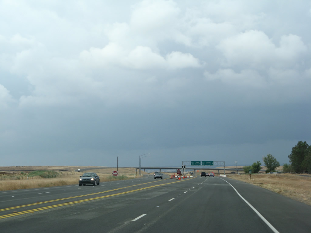
Northbound California 99 advances to Exit 375 for California 149 south to Oroville. A very large interchange with high-speed flyover ramps connects California 99 with California 149. Approximately five miles long, California 149 is a short yet very important state highway that travels southeast to link California 99 with California 70. California 149 offers the most direct route from Chico south to Oroville and northeast to the Feather River Canyon and Quincy. This interchange was completed and opened to traffic in late 2008.
05/24/08

California 99 expands to four overall lanes north ahead of Exit 375.
05/24/08

Northbound California 99 meets Exit 375, California 149 south to Oroville, Marysville, and Quincy. California 99 will continue north toward Chico.
05/24/08

Northbound California 99 as it passes through the California 149 interchange. The southbound lanes first pass under the transition ramp from California 149 north to California 99 south, then pass over the California 149 mainline.
05/24/08

Traffic from California 99 north merges onto California 149 north from the right.
05/24/08

The two northbound lanes of California 99 will merge into one northbound lane as we approach the merge point with California 149 north.
05/24/08

California 99 and California 149 merge together soon thereafter. California 149 will end as California 99 merges onto the freeway from the right.
05/24/08
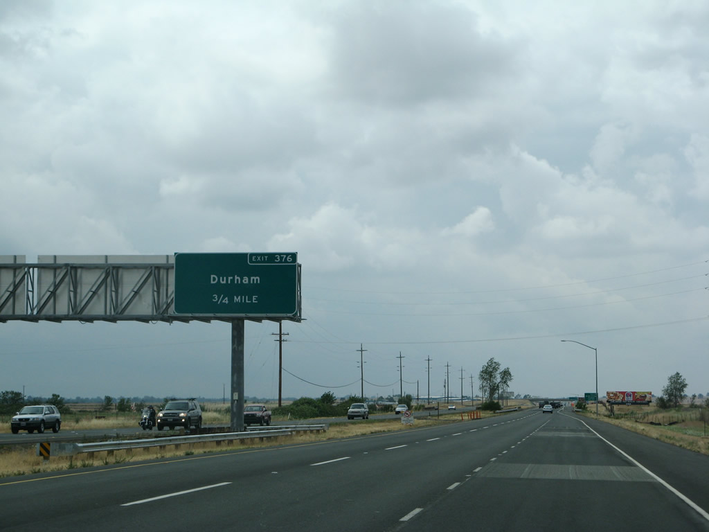
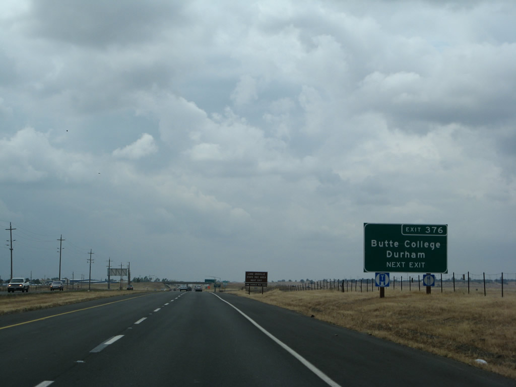
The next exit along California 99 north is Exit 376, Durham-Dayton Highway west to Durham and Durham-Pentz Road east to Butte College and Pentz (0.75 mile).
05/24/08
Use Durham-Dayton Highway west to Durham and Durham-Pentz Road east to Butte College.
05/24/08

Lime Saddle Recreation Area -- a unit of Lake Oroville State Recreation Area -- can be accessed via Exit 376. Follow Durham-Pentz Road west Pentz Road north to Lime Saddle Road west to the Lake Oroville marina.
05/24/08

Northbound California 99 meets Exit 376, Durham-Dayton Highway west to Durham and Durham-Pentz Road east to Butte College and Pentz. This interchange was built in 1975 and is located just south of Chico.
05/24/08

California 99 passes under Durham-Dayton Highway and Durham-Pentz Road.
05/24/08

Between Exits 376 and 383, California 99 reverts to a four-lane expressway that intersect with three at-grade intersections: Neal Road (Exit 378), Estates Drive (Exit 380), and Southgate Avenue and Entler Avenue (Exit 382). This section of California 99 is designated as Ray E. Johnson Expressway.
05/24/08
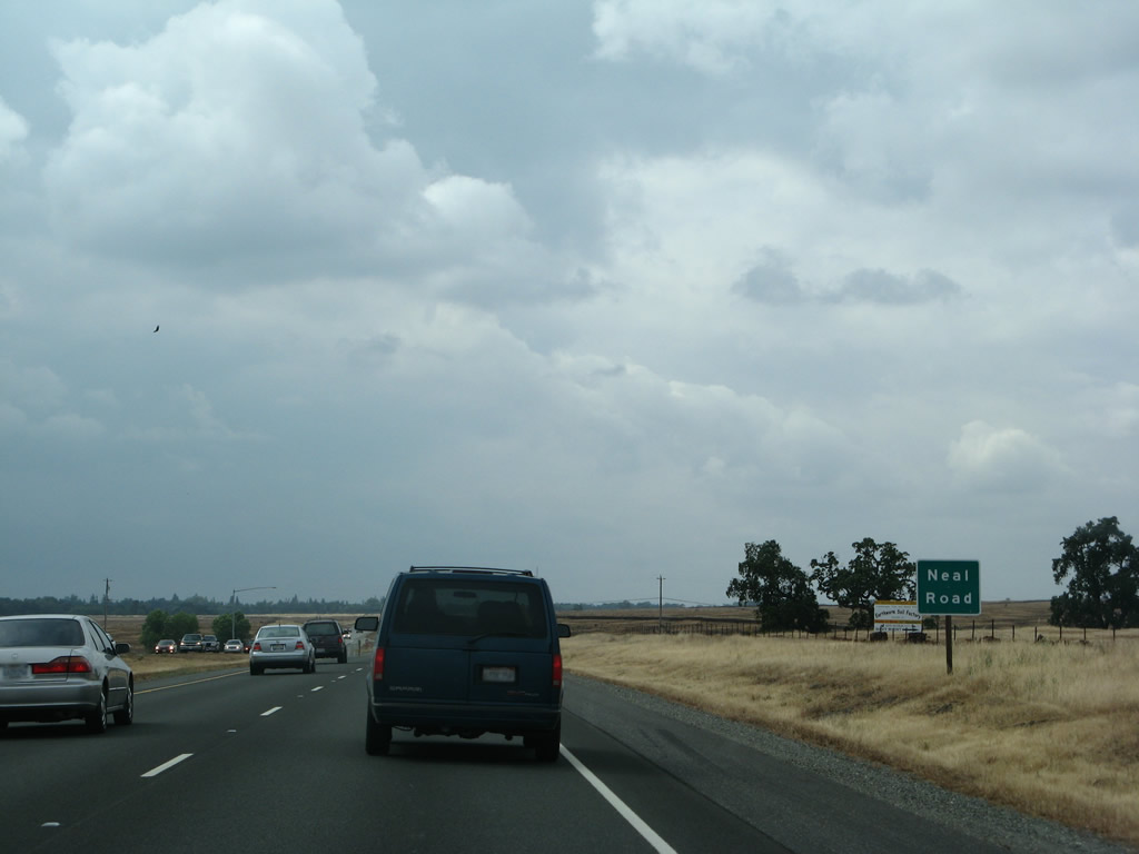
Northbound California 99 approaches its at-grade intersection with Neal Road (which would be Exit 378 if ever upgraded to an interchange).
05/24/08

This California 99 north reassurance shield is posted after the Neal Road intersection.
05/24/08
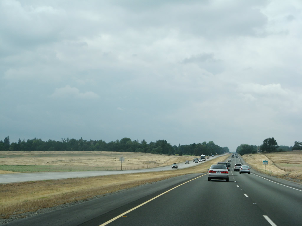
Between the California 149 interchange and Chico, northbound California 99 carries a fair amount of traffic.
05/24/08

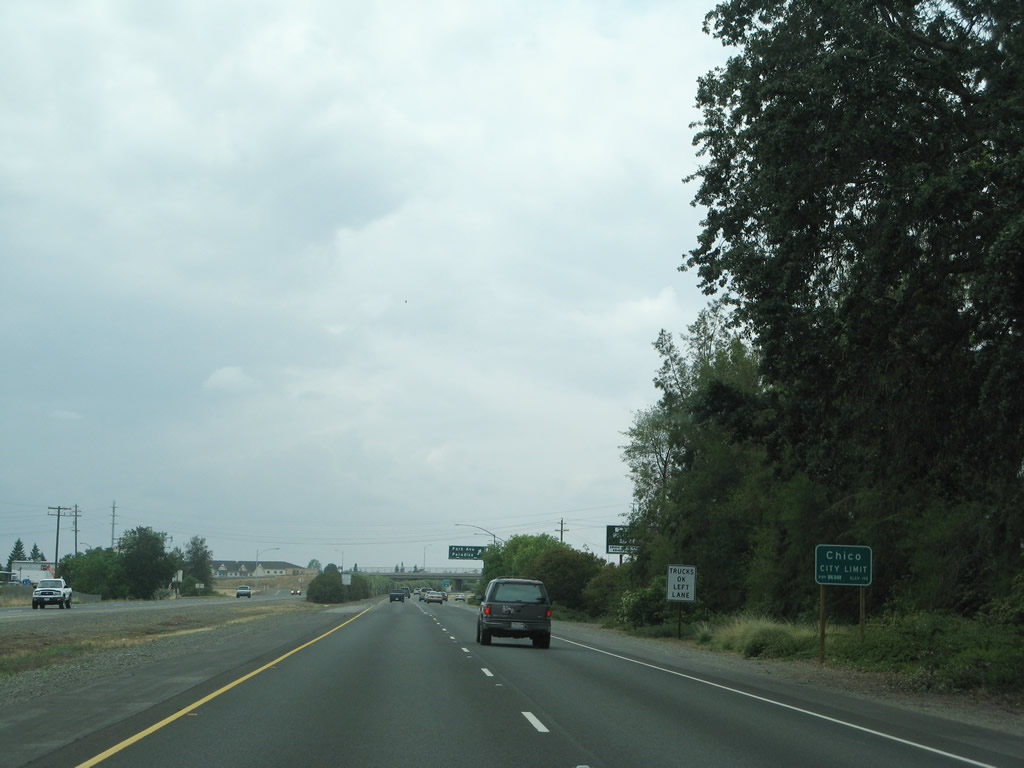
California 99 approaches the city of Chico. Home to the Bidwell Mansion State Historic Park and California State University at Chico, the city of Chico was home to 86,187 people as of the 2010 Census. Chico, the "City of Roses," incorporated on January 8, 1872.
05/24/08

Northbound California 99 meets Estates Drive at this traffic signal. Turn left for Estates Drive south into the Butte Creek Country Club. California 99 proceeds northwest toward the city center of Chico. Ahead, the southbound lanes of California 99 are concrete, and the northbound lanes are asphalt. This configuration will continue north until the Southgate Avenue and Entler Avenue intersection.
05/24/08

California 99 crosses over Butte Creek.
05/24/08

Northbound California 99 next approaches the signalized intersection with Southgate Avenue, Southgate Lane, and Entler Avenue. Plans call for conversion of this at-grade intersection into the Southgate Freeway Interchange, with connecting surface street improvements to allow for improved links to neighboring roads.
05/24/08
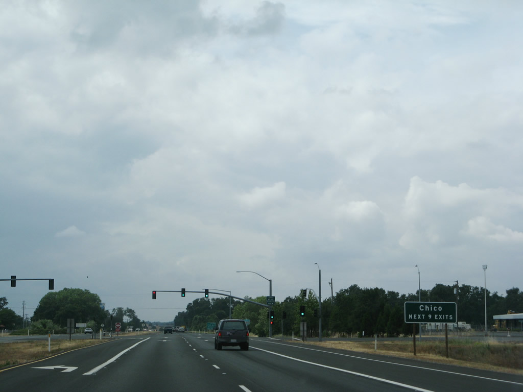
The next nine exits along California 99 north serve the city of Chico.
05/24/08
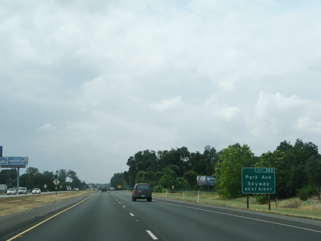
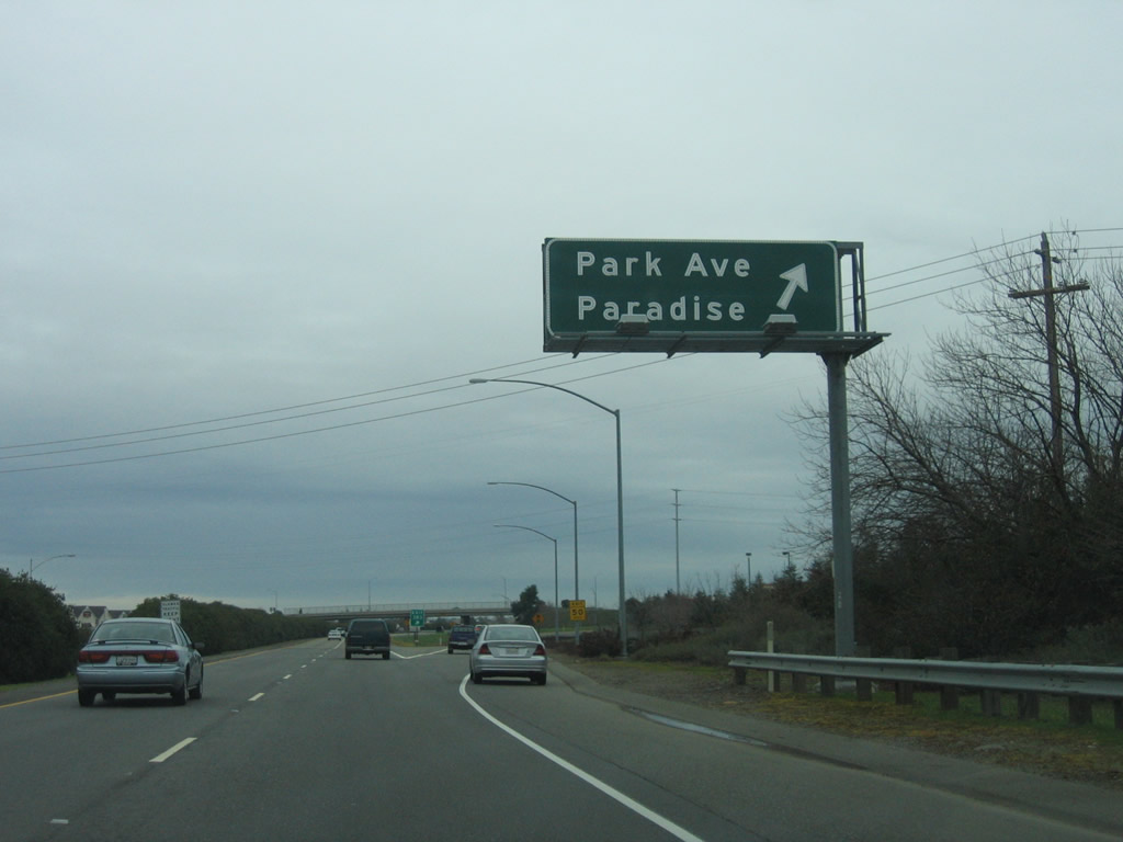
The next exit along California 99 is Exit 383, California 99 Business north and East Park Avenue west and Skyway Drive east to Paradise.
05/24/08

Use Exit 383 for Skyway Drive east to Paradise.
05/24/08

As the freeway resumes to bypass Chico, through traffic should use the left lane.
01/15/06
California 99 enters the city of Chico. While the modern state highway follows the freeway bypass, Old U.S. 99E enters Chico from the south via Midway. A portion of Historic U.S. 99E (Park Avenue) through downtown Chico is designated as part of California 99 Business. Take Exit 383 and follow East Park Avenue west to Park Avenue, then turn right for California 99 Business and U.S. 99E north.
05/24/08
Northbound California 99 meets Exit 383, California 99 Business (East Park Avenue) north and Skyway Drive east to Paradise. The business route follows East Park Avenue west to Park Avenue, then north through downtown via The Esplanade. Making a right on East Park Avenue connects to the Skyway, which leads to Paradise and California 191 via Pearson Road.
01/15/06

The interchange with East Park Avenue and Skyway Drive used to a be full cloverleaf, but it has been reconfigured into a partial cloverleaf since then.
01/15/06
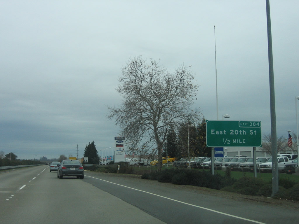
The next exit along California 99 north is Exit 384, East 20th Street (one-half mile).
01/15/06
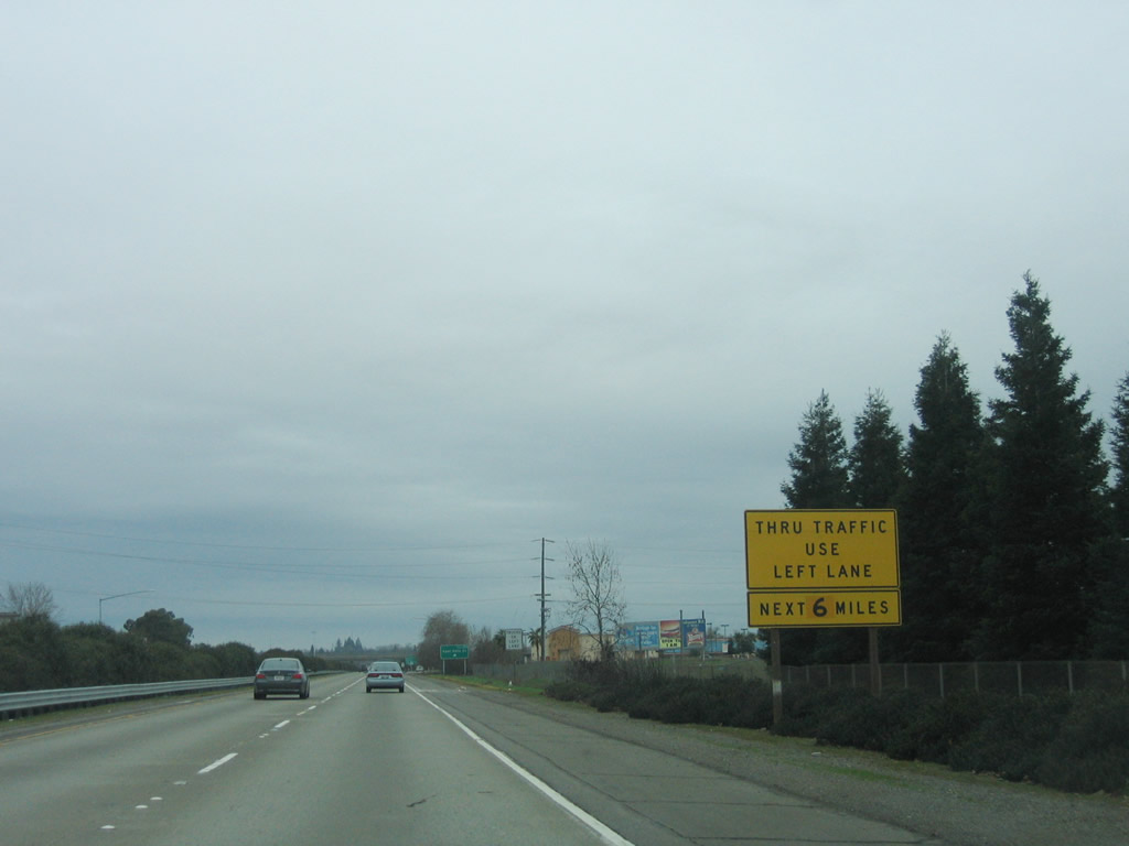
Through traffic is again advised to use the left lane as we bypass downtown Chico to the east.
01/15/06
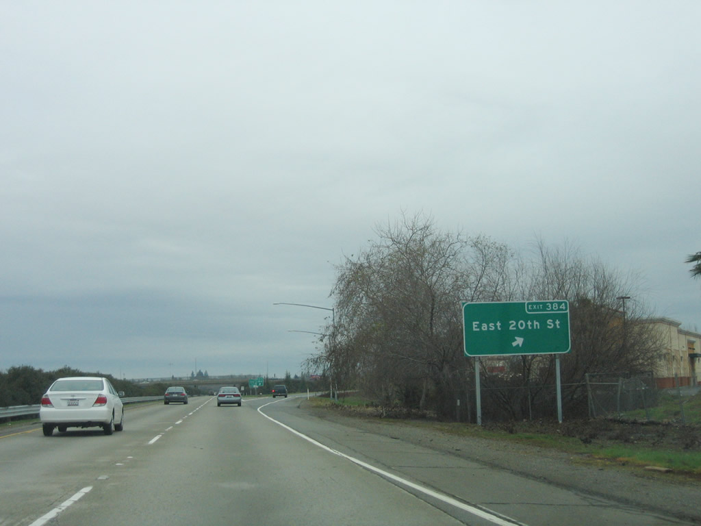
Northbound California 99 meets Exit 384, East 20th Street.
01/15/06

The next exit along California 99 north is Exit 385, California 32 (three-quarters of a mile). California 32 travels west through downtown Chico to Hamilton City and Orland and northeast to Chester and Susanville.
01/15/06

Use the left lane for through traffic.
01/15/06

Northbound California 99 meets Exit 385, California 32 (Deer Creek Highway) east and California 32 (Eighth Street) west.
01/15/06
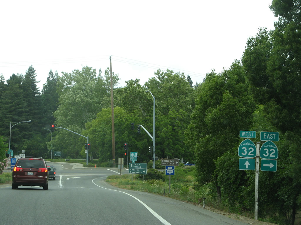
Upon exiting, turn right for California 32 (Deer Creek Highway) east, or proceed to the next left for California 32 (Eighth Street) west into downtown Chico.
05/24/08
Exit 385 has a unique configuration, as it was built as a rotary interchange with a traffic circle to push traffic through the interchange. This configuration, more commonly found in New England, is very rare in California.
05/24/08
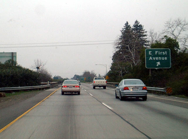
Returning to the mainline freeway, northbound California 99 meets Exit 386, East First Avenue in Chico.
01/20/03

Northbound California 99 meets Exit 387A, Cohasset Road and Mangrove Avenue. The sign showed "Cohasset Highway," which is incorrect.
01/20/03

The next exit along California 99 north is Exit 387B, East Avenue, one-half mile.
01/20/03
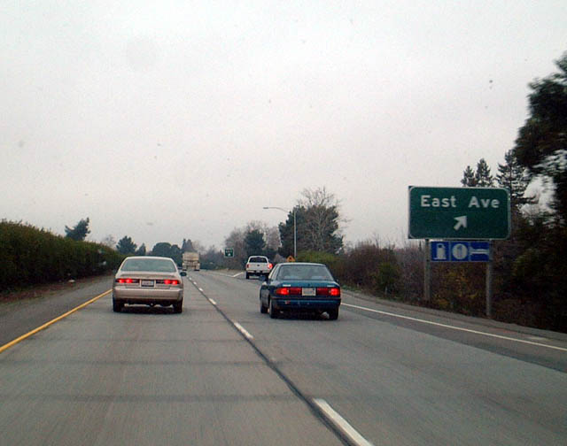
Northbound California 99 meets Exit 387B, East Avenue.
01/20/03
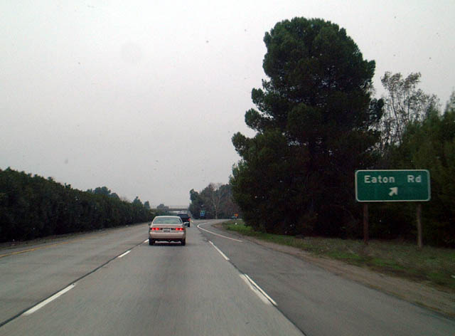
Northbound California 99 meets Eaton Road at Exit 389 in north Chico. Prior to the early 1990s, this sign displayed Eaton Avenue erroneously.
01/20/03

Photo Credits:
- Andy Field: 01/20/03, 01/15/06, 05/24/08
Connect with:
Page Updated Wednesday January 25, 2012.