
State Route 193

Continuing south to Placerville, SR 193 (Georgetown Road) ascends through Big Canyon to SR 49. - 12/28/2004
Traveling south from Kelsey, California State Route 193 lowers to cross the South Fork of the American River at Chili Bar. - 12/28/2004
California 193 is a Northern California state route that exists in two segments: from the eastern city limits of Lincoln (near California 65) to Interstate 80 near Newcastle and from California 49 in Cool to California 49 north of Placerville.
SR 193 (Newcastle Highway) passes over the old U.S. 40 tunnel at Newcastle before overtaking Taylor Road east to Interstate 80.
12/27/04
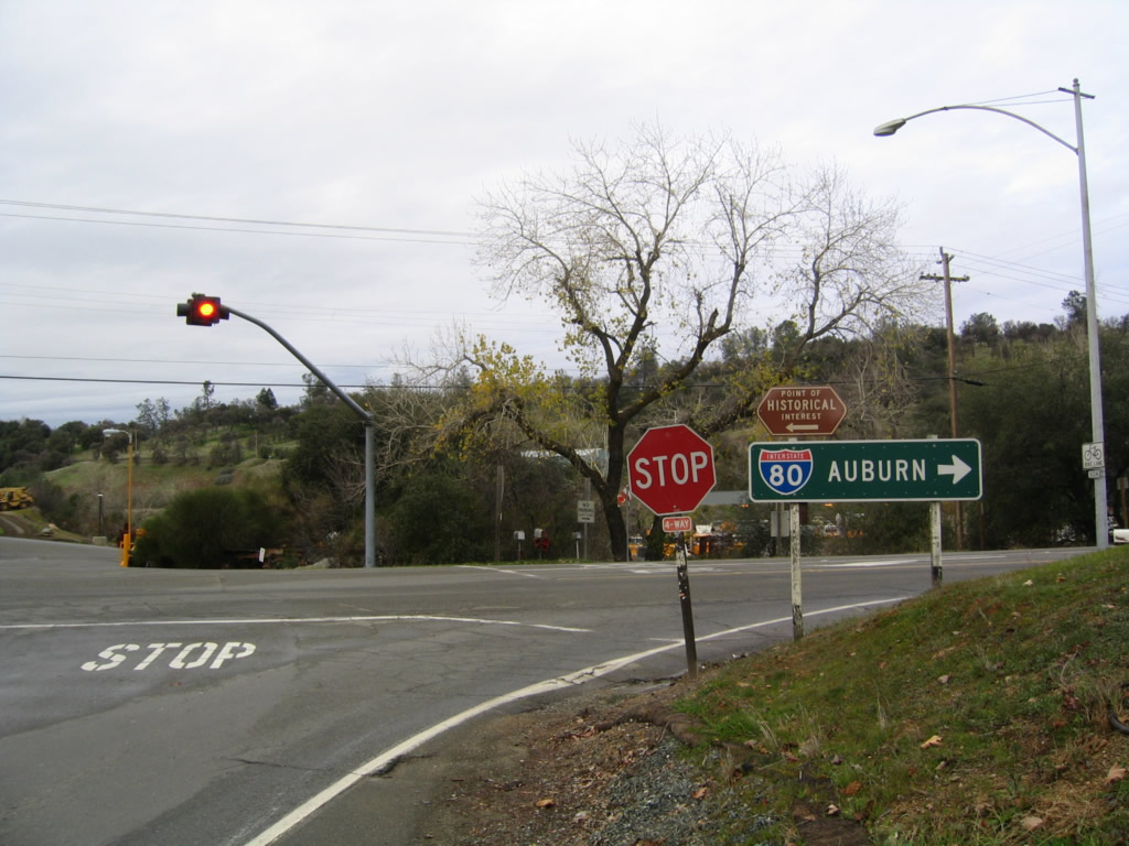
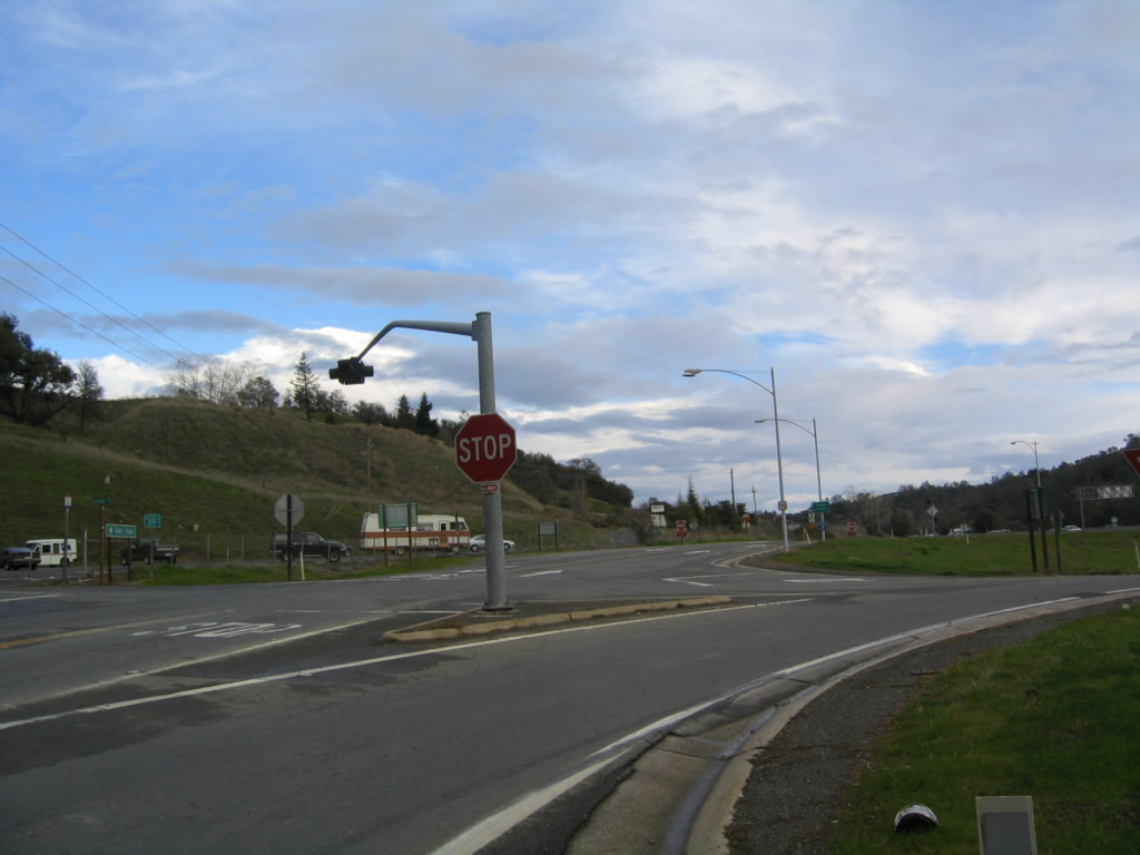
SR 193 (Taylor Road) ties into Interstate 80 at a folded diamond interchange (Exit 116) at Newcastle.
12/27/04
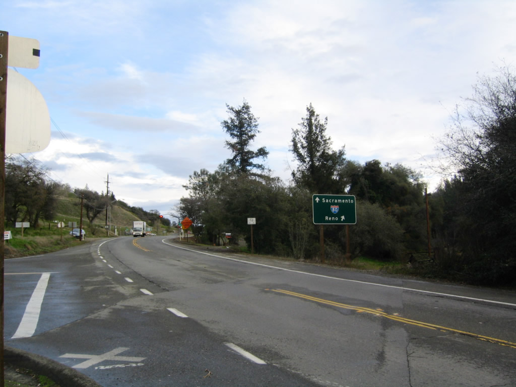
The westbound entrance ramp loops onto I-80 from the intersectoion of SR 193 (Taylor Road) and Ophir Road.
12/27/04
Following implied overlaps with Interstate 80 east and SR 49 south, SR 193 resumes an independent alignment east along Georgetown Road from the town of Cool.
12/28/04
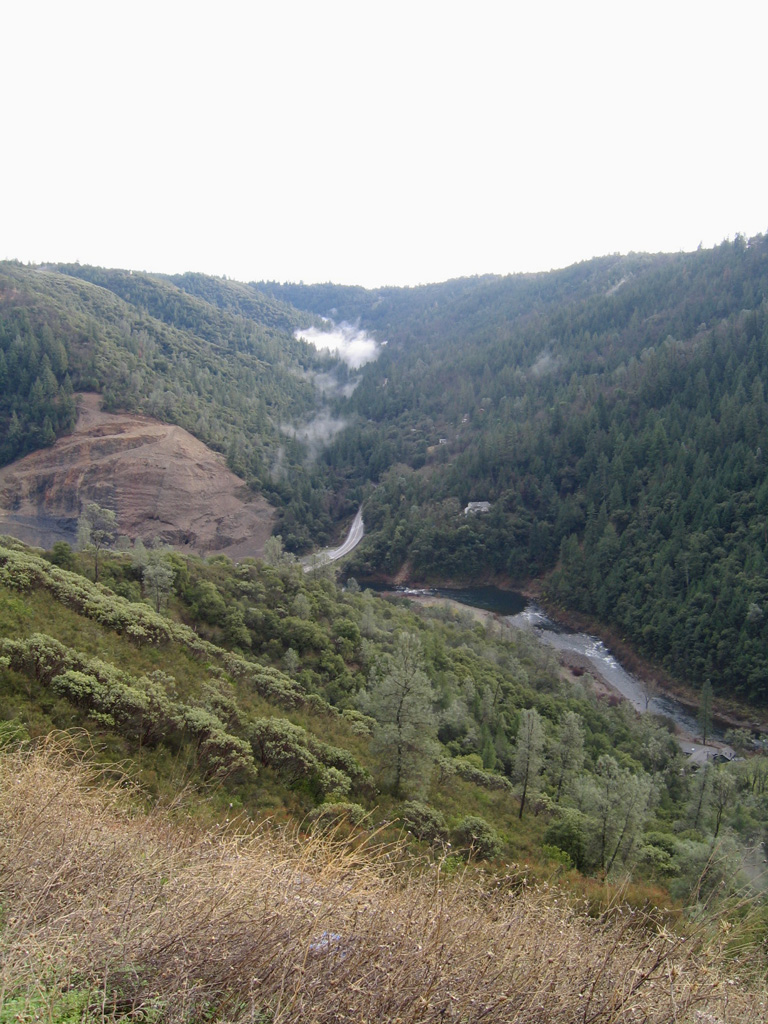
SR 193 (Georgetown Road) lowers 1,000 feet in elevation from Texas Canyon to The South Fork of the American River through Ladies Canyon.
12/28/04
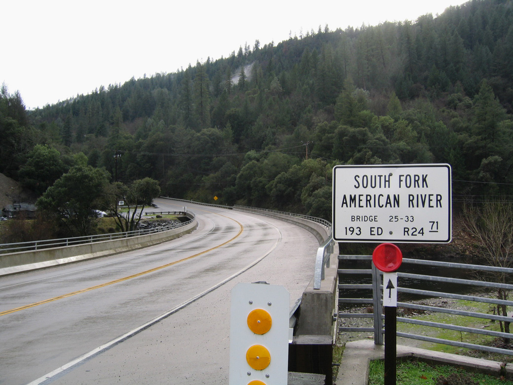
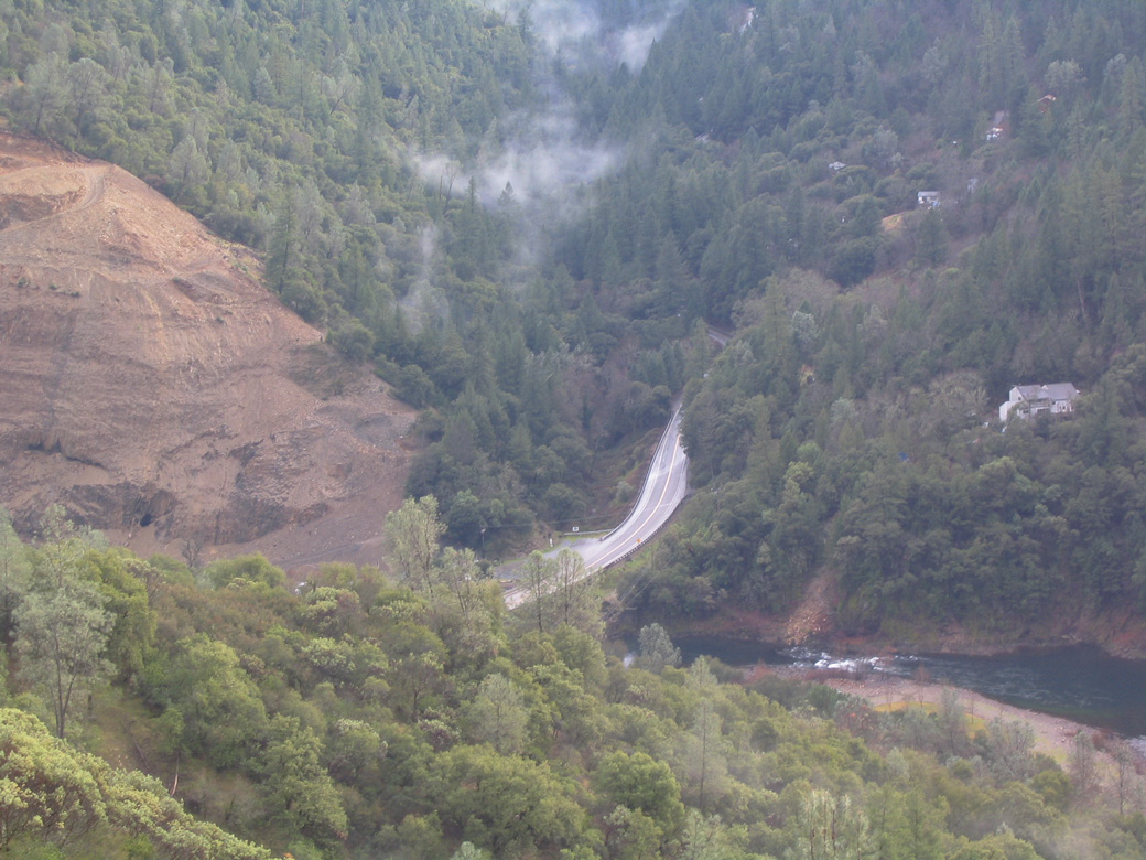
SR 193 crosses the American River South Fork at Chili Bar and post mile 24.71.
12/28/04
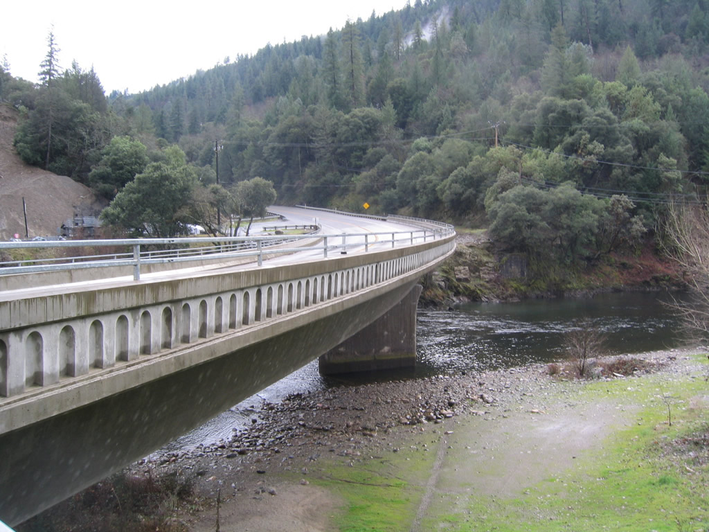
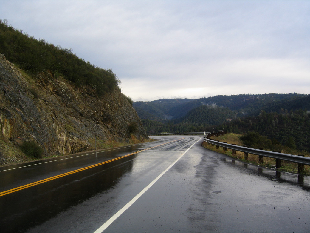
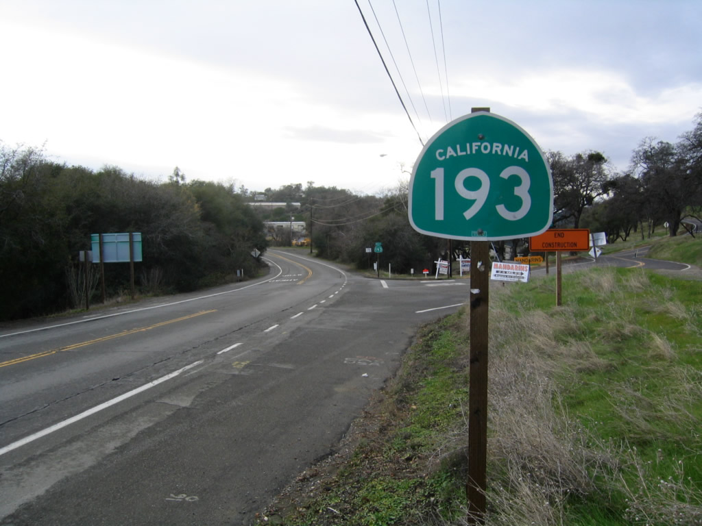
The ensuing stretch of SR 193 south from the American River South Fork and Chili Bar climbs through Big Canyon.
12/28/04
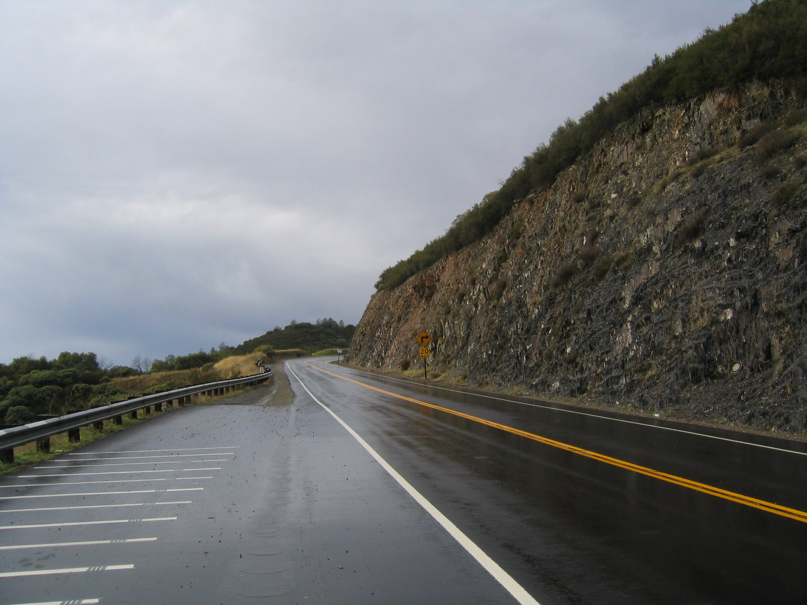
Ascending northward, SR 193 navigates through a switchback and numerous S-curves from Chili Bar to this point ahead of Kelsey Canyon.
12/28/04
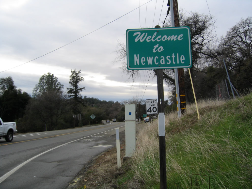
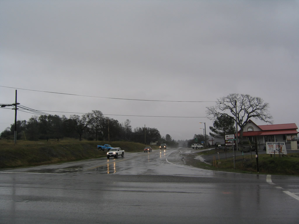
California 193 west enters the unincorporated community of Newcastle.
12/27/04
A C block marks the rights of way of Old U.S. 40 alongside westbound California 193.
12/27/04
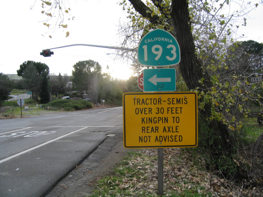
The western segment of California 193 begins at Interstate 80 in Newcastle (at Exit 116) and travels west to California 65 at Lincoln. This is the first reassurance shield for California 193 west, which briefly follows Old U.S. 40.
12/27/04
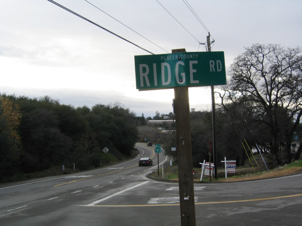
Westbound California 193 (Old U.S. 40) meets Ridge Road at this intersection. Ridge Road parallels California 193 over the next several miles and may be an older alignment of this state route.
12/27/04
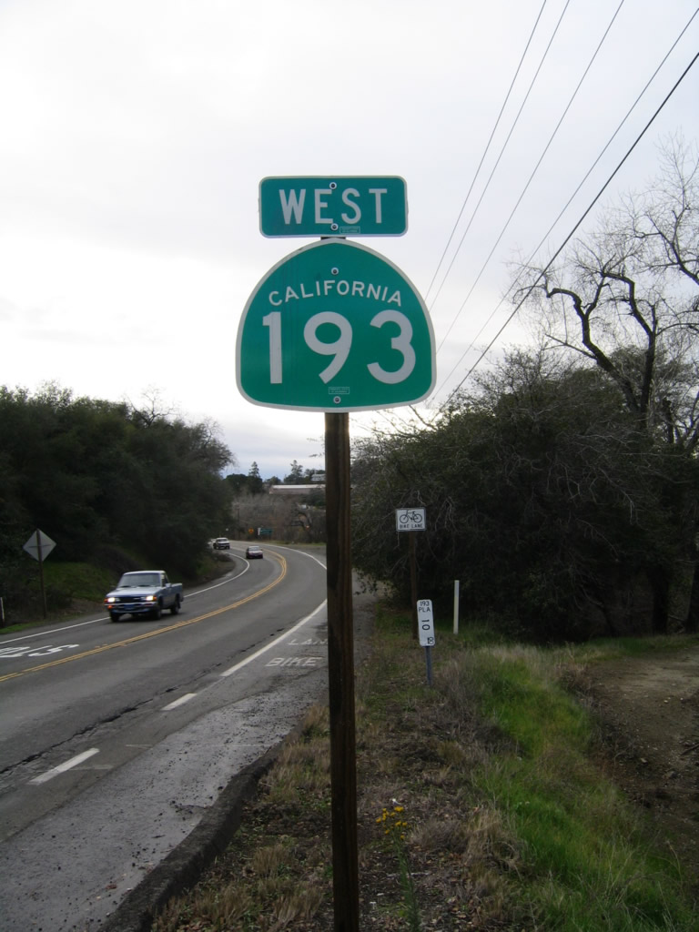
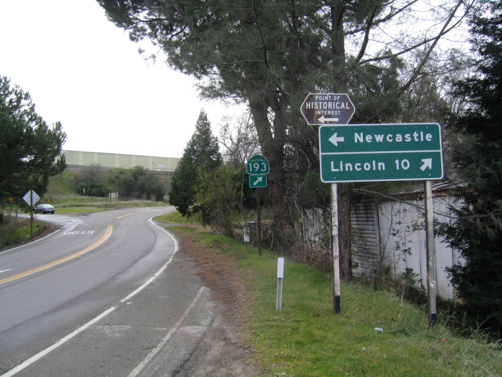
A second California 193 reassurance shield is posted after the Ridge Road intersection.
12/27/04
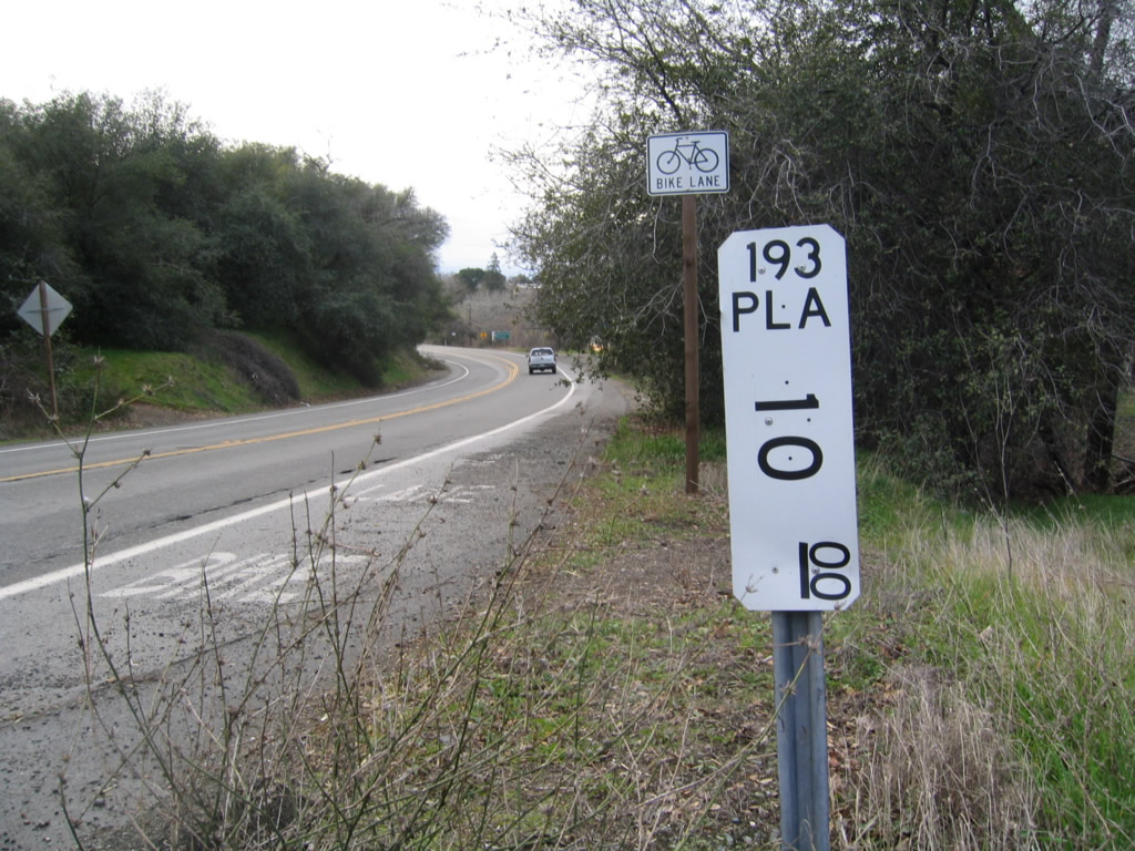
A California 193 postmile (Placer, mile 10.00) is located after the reassurance shield). The western California 193 is fully located within Placer.
12/27/04
After the Ridge Road intersection, California 193 separates from Old U.S. 40. Old U.S. 40 (Taylor Road) continues west to Penryn and the city of Loomis.
12/27/04
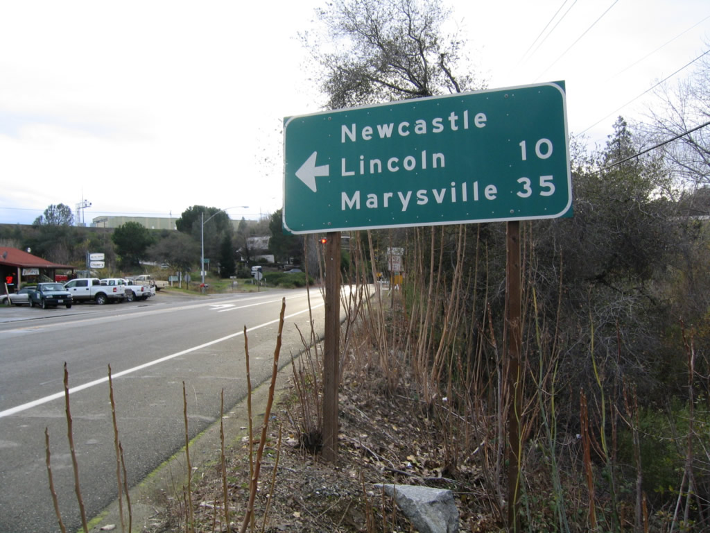
California 193 passes above the tunnel along Old U.S. 40 west en route to Lincoln, which connects with California 65 north to Marysville and Yuba City.
12/27/04
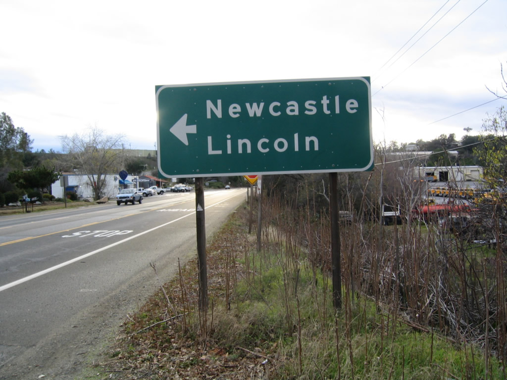
A California 193 trailblazer posted at Taylor Road and Newcastle Highway.
12/27/04
SR 193 (Newcastle Highway) proceeds west from Taylor Road to intersect Main Street south to the New Castle business district.
12/27/04
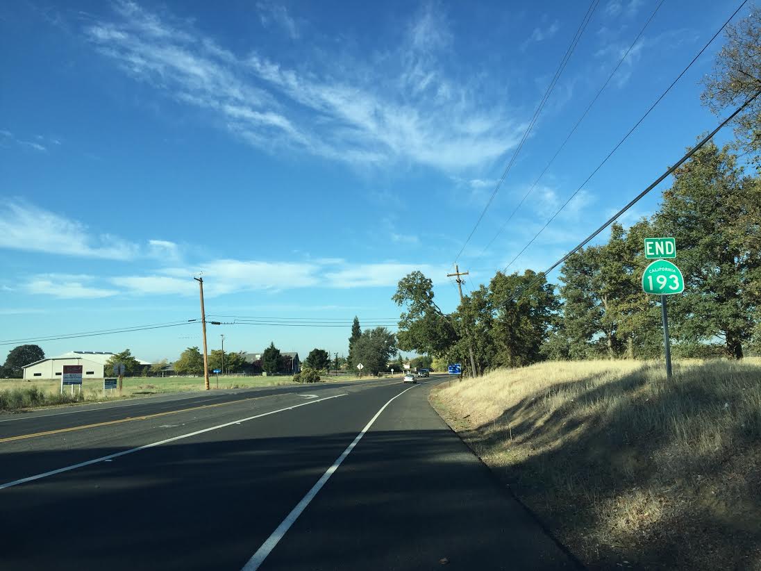
The west end of SR 193 is located where Lincoln Newcastle Highway enters the eastern city limits of Lincoln between Stagecoach Lane and Stardust Lane. The state route formerly extended west onto McBean Park Drive and Lincoln Boulevard, the old alignment of SR 65 in Downtown downtown Lincoln.
11/01/15
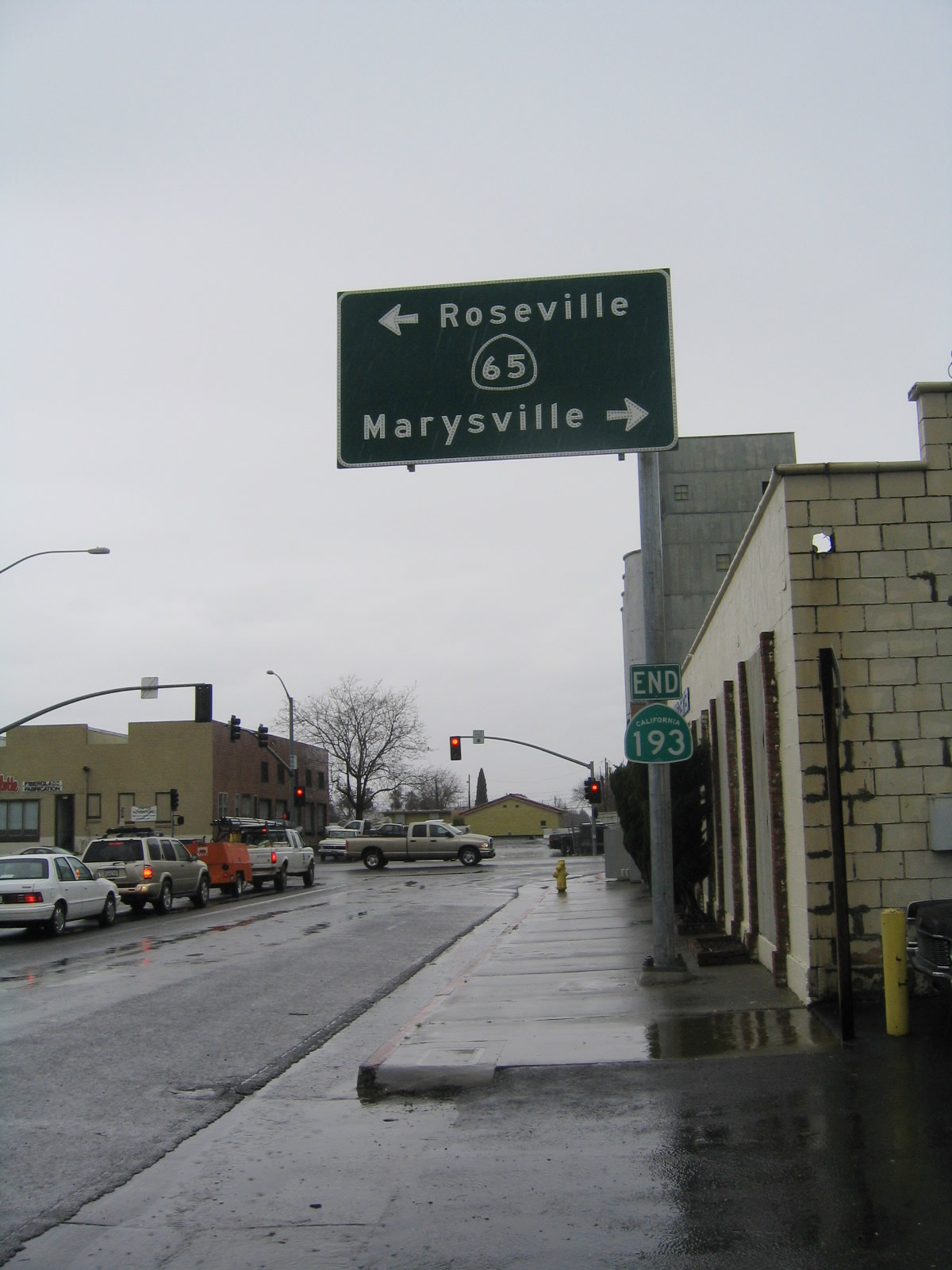
The previous west end of SR 193 where McBean Park Drive intersected SR 65 (Lincoln Boulevard). With the completion of the Lincoln Bypass along SR 65, SR 193 was truncated to the eastern edge of the Lincoln city limits.
12/27/04
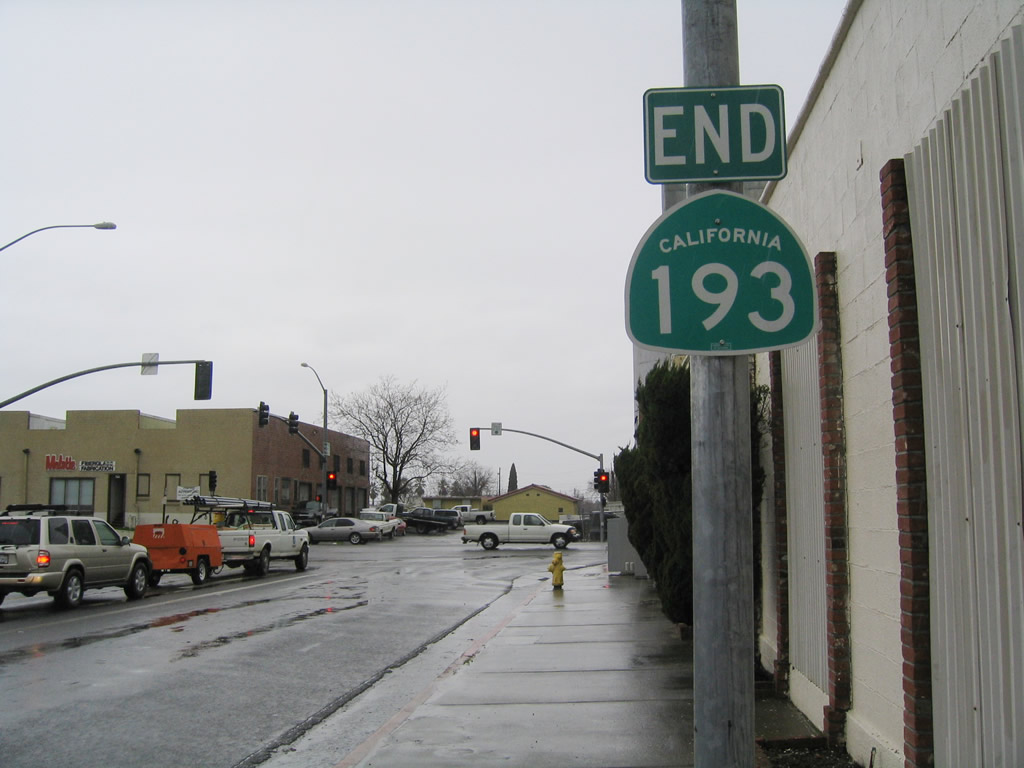
The end shield for SR 193 in Downtown Lincoln was removed by 2012 and the entire overhead assembly for SR 65 was by 2015.
12/27/04
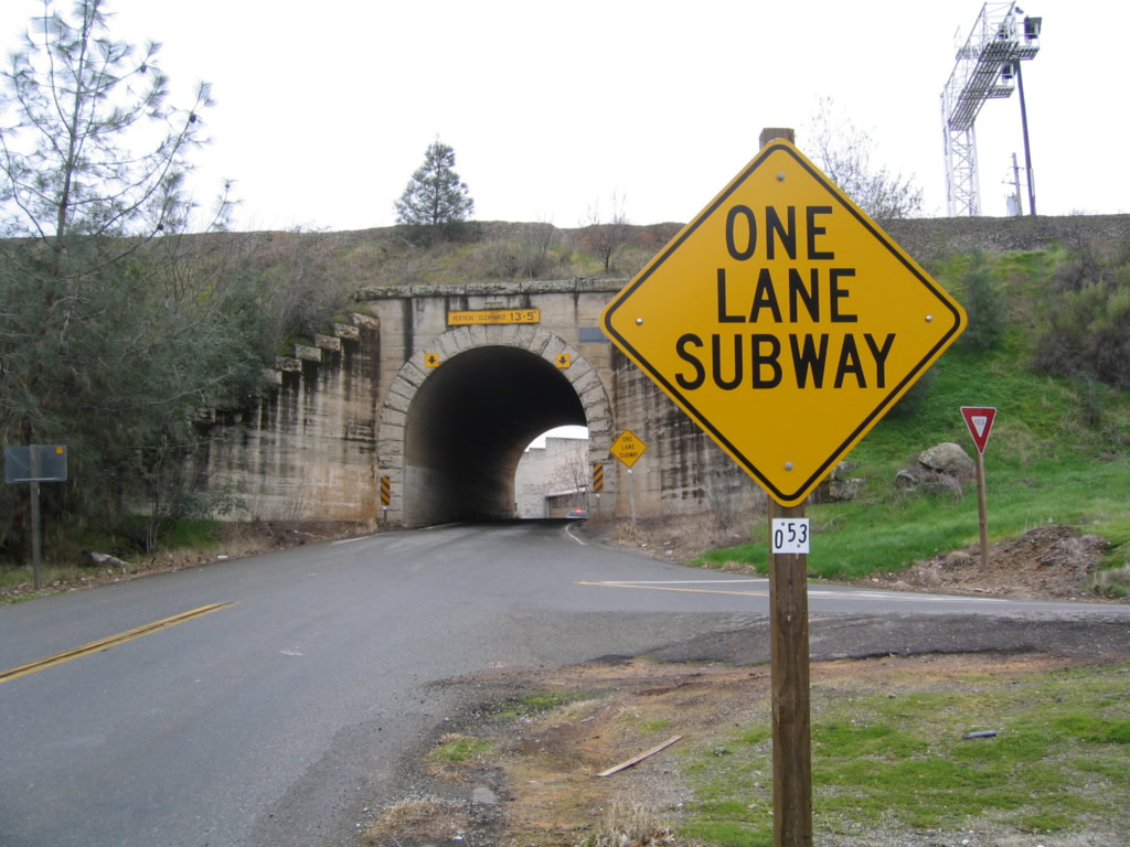
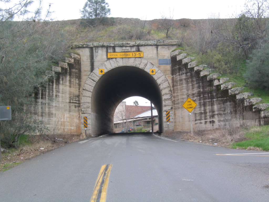
Old State Highway stems south from SR 193 (Newcastle Highway) at Main Street through a single lane tunnel below Southern Pacific Railroad tracks. The date stamp on top of the tunnel portal appears to be 1919.
12/27/04
Photo Credits:
- Andy Field: 12/27/04, 12/28/04
- Joel Windmiller: 11/01/15
Connect with:
Page Updated Tuesday November 10, 2015.