
State Route 247

California State Route 247 passes through the Stoddard Valley and ascends toward Stoddard Ridge and the Ord Mountains in the Mojave Desert southeast of Barstow. - 06/27/2009
California 247 skirts the eastern edge of the San Bernardino Mountains by connecting Yucca Valley with Barstow via Lucerne Valley. Much of California 247 passes through the Mojave Desert and stays away from populated areas.
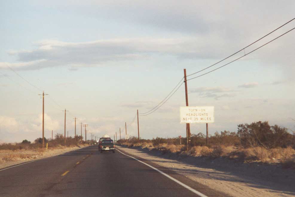
A large portion of northbound California 247 between California 62 and California 18 has a daytime headlights requirement. This is to enhance visibility of oncoming traffic along the narrow, two-lane highway.
November 2000
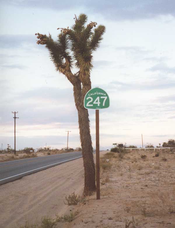
This California 247 shield posted next to a Joshua Tree, a plant common to this area of the Mohave Desert. Joshua Tree National Park, is located southeast of the location of this sign.
November 2000
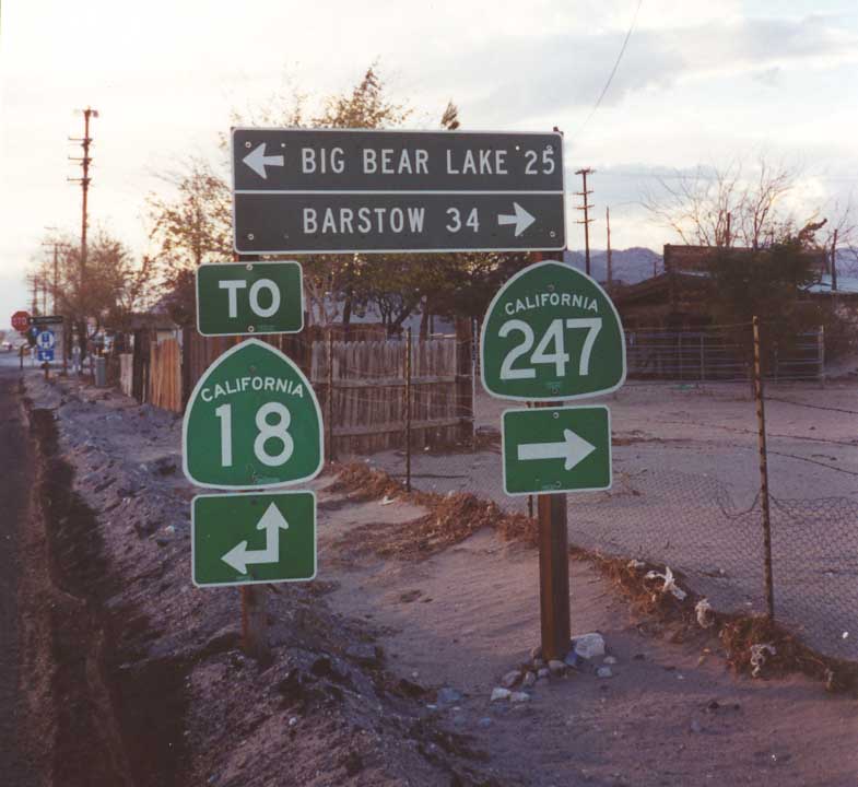
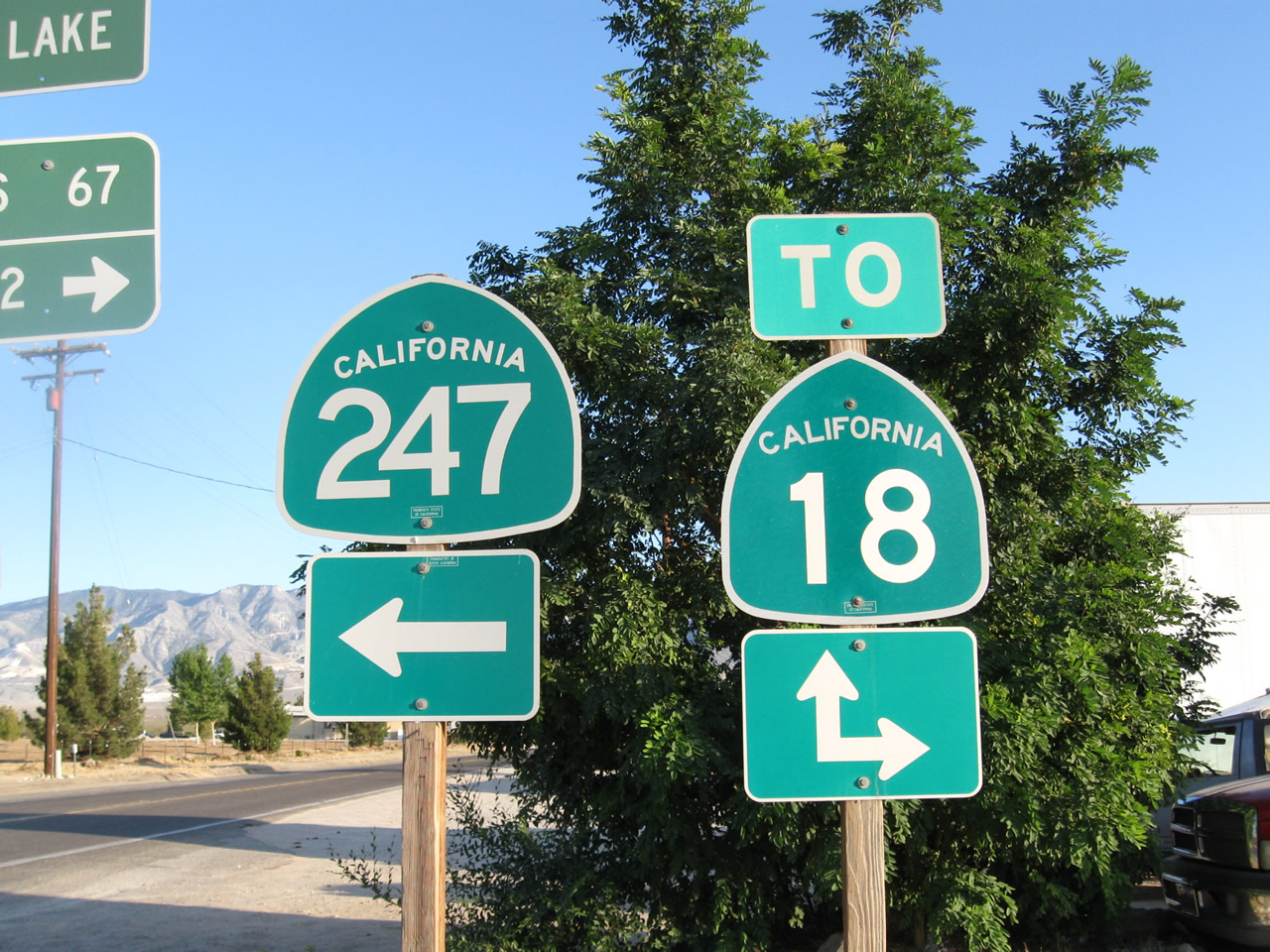
Both inventoried by Caltrans as SR 247, state-maintained connectors along Barstow Road and Old Woman Springs Road, link SR 247 with SR 18 in Lucerne Valley.
November 2000
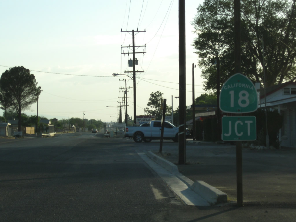
Old Woman Springs Road extends west from the turn of SR 247 north onto Barstow Road through the unincorporated community of Lucerne Valley to SR 18. SR 18 heads south to Big Bear Lake and west to Apple Valley and Victorville.
06/27/09
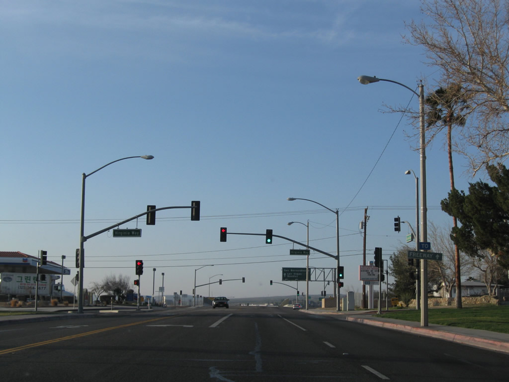
Barstow Road is a city-maintained street leading south from Downtown Barstow to Interstate 15. Virginia Way intersects the five lane boulevard ahead of the parclo interchange (Exit 183) with I-15.
03/15/09
Southbound Barstow Road meets Interstate 15 at the north end of California 247. I-15 travels south toward San Bernardino and Los Angeles, with a connection to California 58 west to Bakersfield. North from Barstow, I-15 leads to Las Vegas and Salt Lake City, with a connection to Interstate 40 east for Flagstaff and Albuquerque.
03/15/09
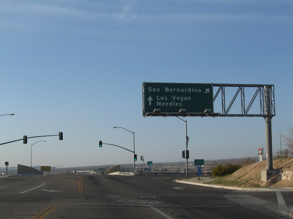
Turn right here to connect from California 247 south to Interstate 15 north to Las Vegas and Interstate 40 east to Needles. Note the use of control cities with the omission of route markers. A loop ramp connects Barstow Road south with the northbound freeway.
03/15/09
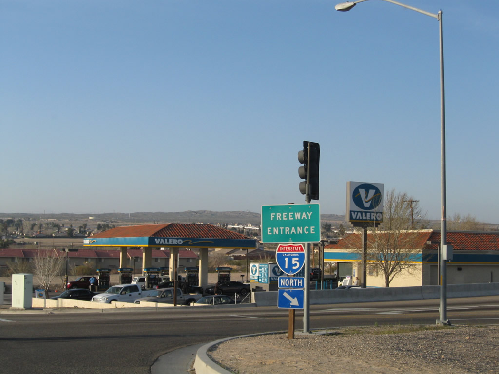
A freeway entrance shield for Interstate 15 south is posted at the on-ramp to the freeway. An Interstate 40 shield would be appropriate.
03/15/09
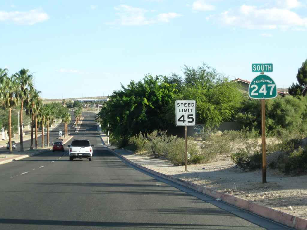
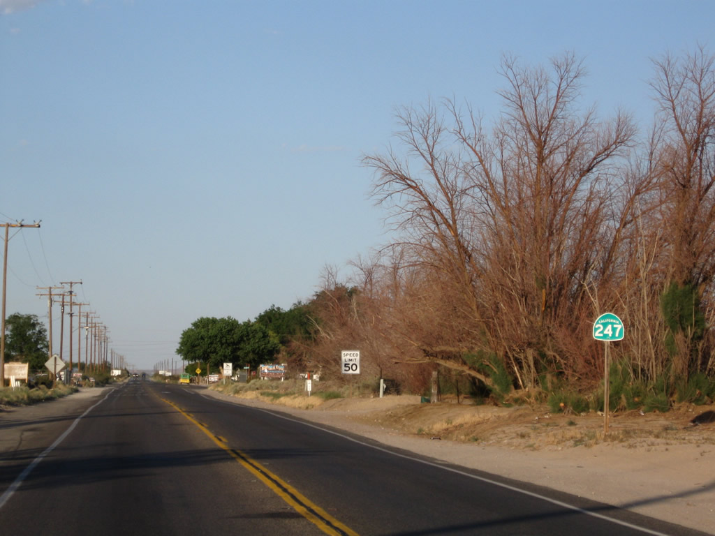
The first southbound reassurance shield for California 247 appears afer the exchange with Interstate 15.
06/27/09
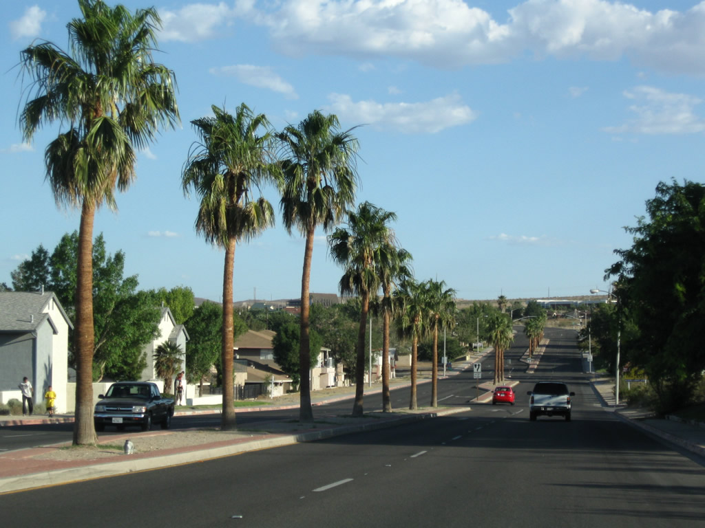
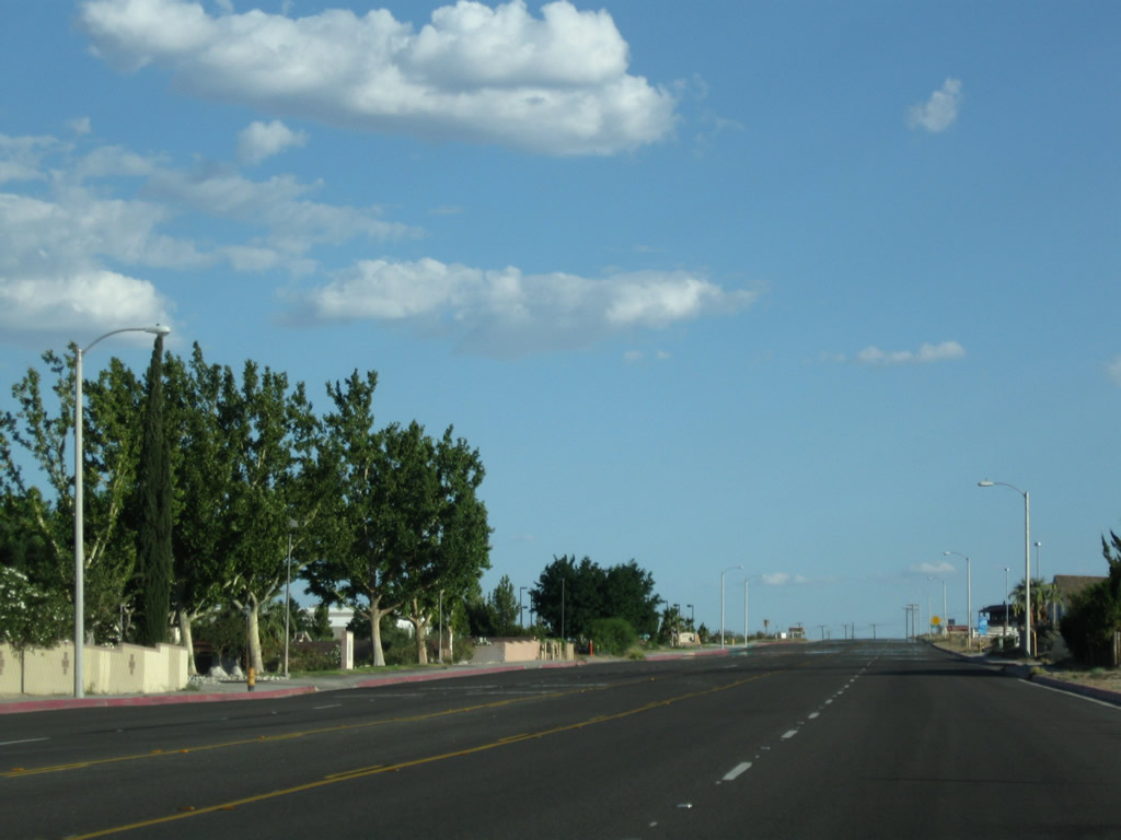
California 247 (Barstow Road) passes through a residential area with a palm-lined median.
06/27/09
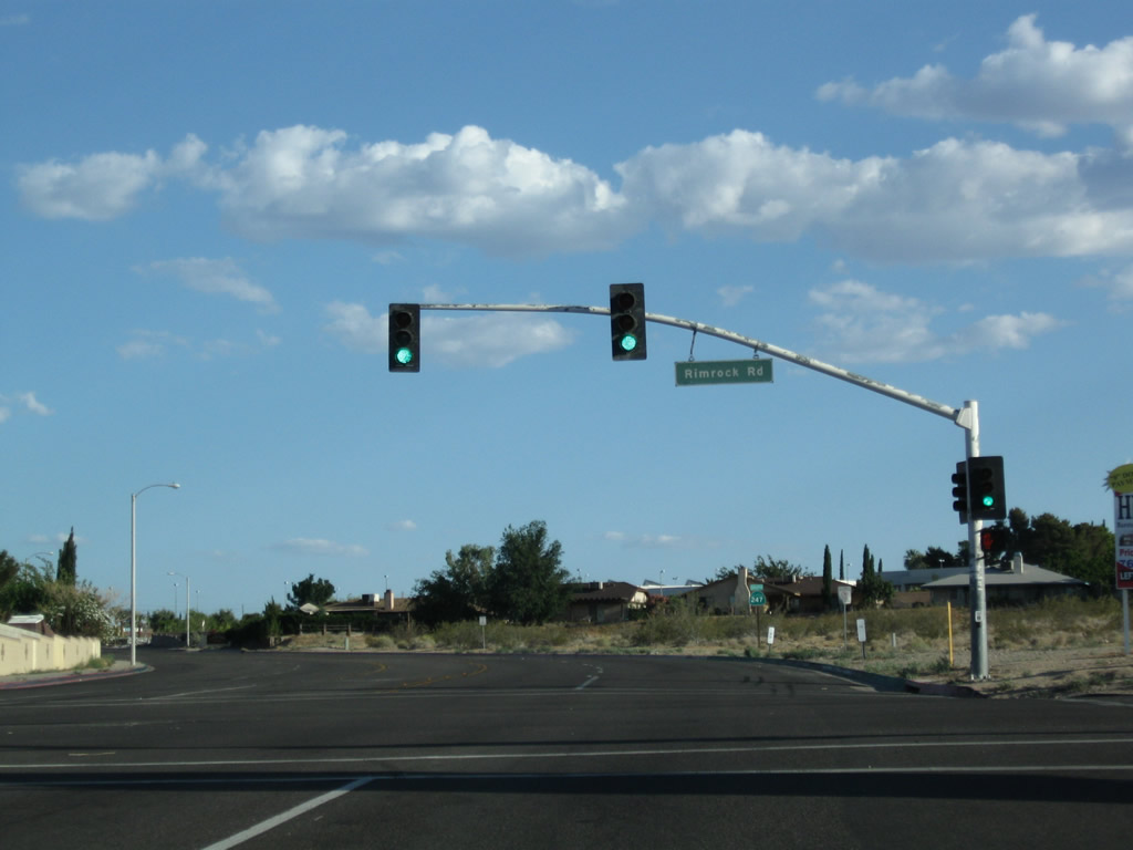
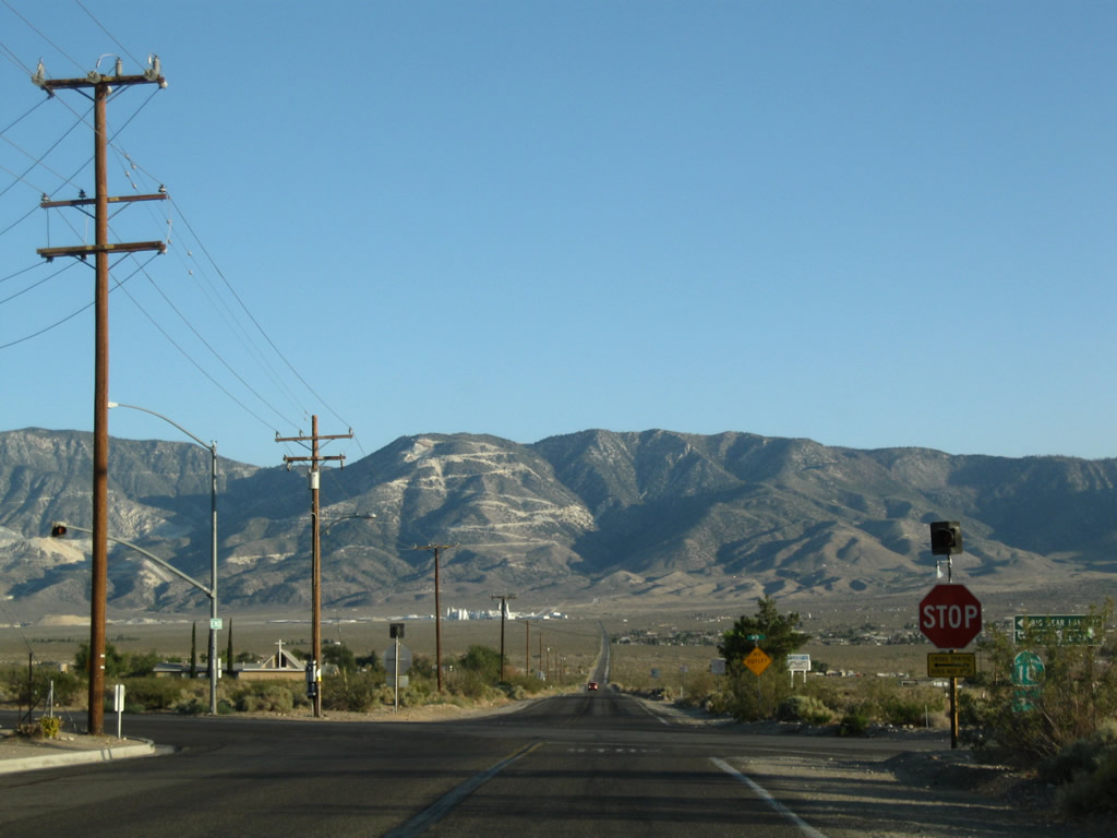
Southbound California 247 (Barstow Road) meets Rimrock Road at this traffic signal.
06/27/09
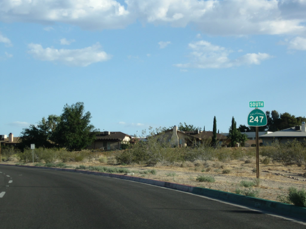
A California 247 south reassurance shield is posted shortly thereafter.
06/27/09
Climbing uphill, California 247 retains five lanes to the top of the grade.
06/27/09
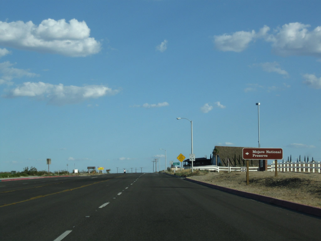
Southbound California 247 (Barstow Road) approaches the turnoff to a Mojave National Preserve visitors center. The sprawling national preserve covers a significant portion of the Mojave Desert within California, mostly bounded by Interstate 15, the California-Nevada state line, and Interstate 40. Across the street on the right side of California 247 is Barstow Community College.
06/27/09
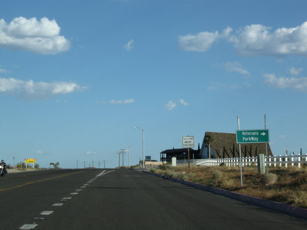
Turn right on Veterans Parkway to the Veterans Home of Barstow. Ahead, California 247 narrows to two lanes and will quickly leave the urban area.
06/27/09
California 247 narrows to two lanes after the Veterans Parkway intersection.
06/27/09
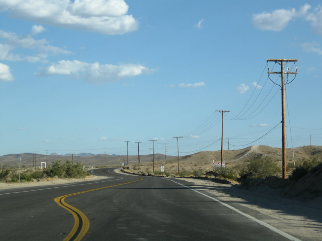
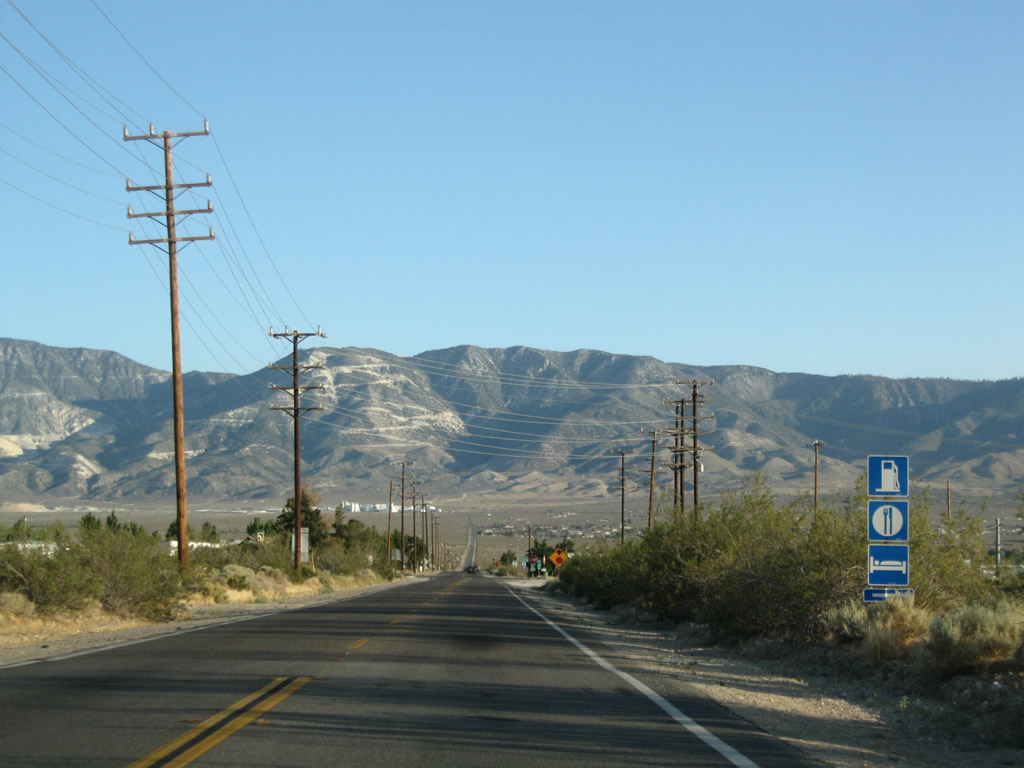
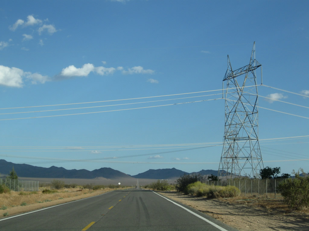
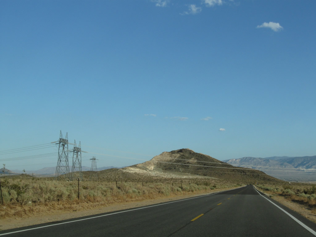
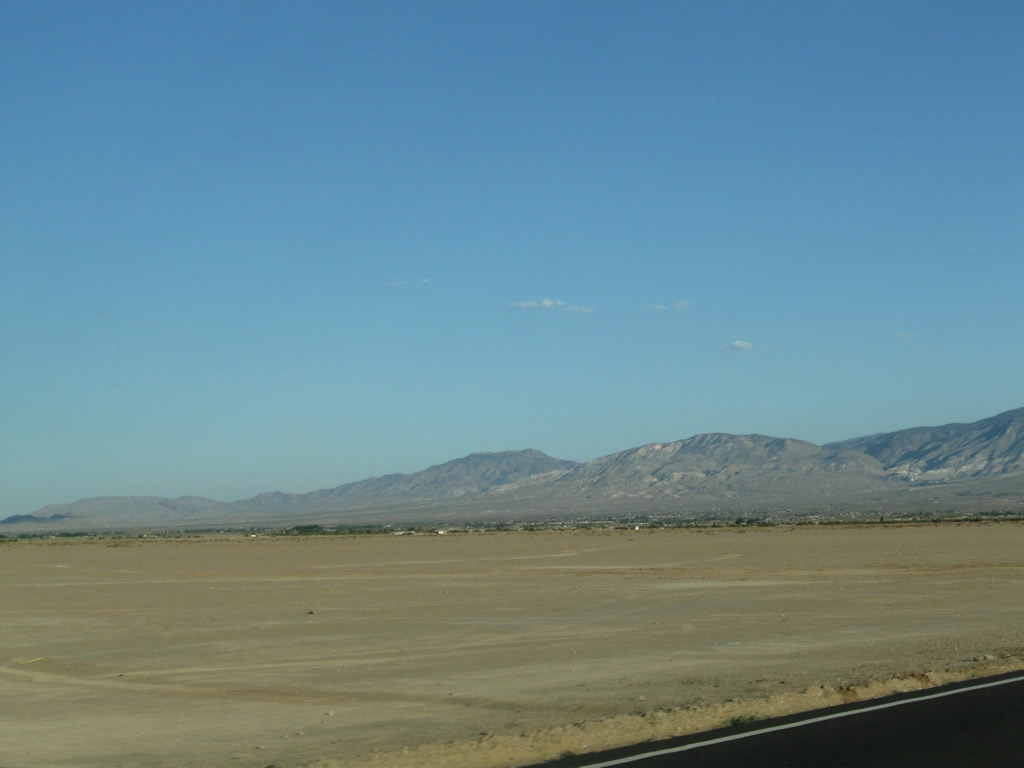
After passing under the power lines, nothing but scenic, undeveloped desert lies ahead for several miles along California 247 south. The power lines mark the southern city limits of Barstow. This is the last call for motorist services before many miles of undeveloped desert lands.
06/27/09
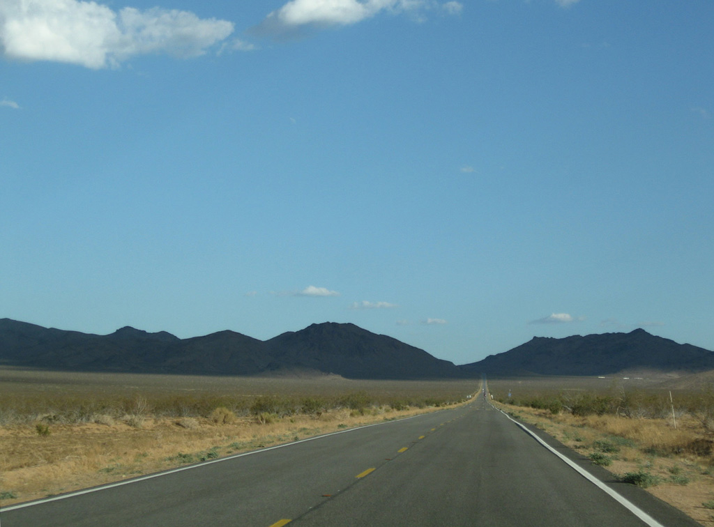
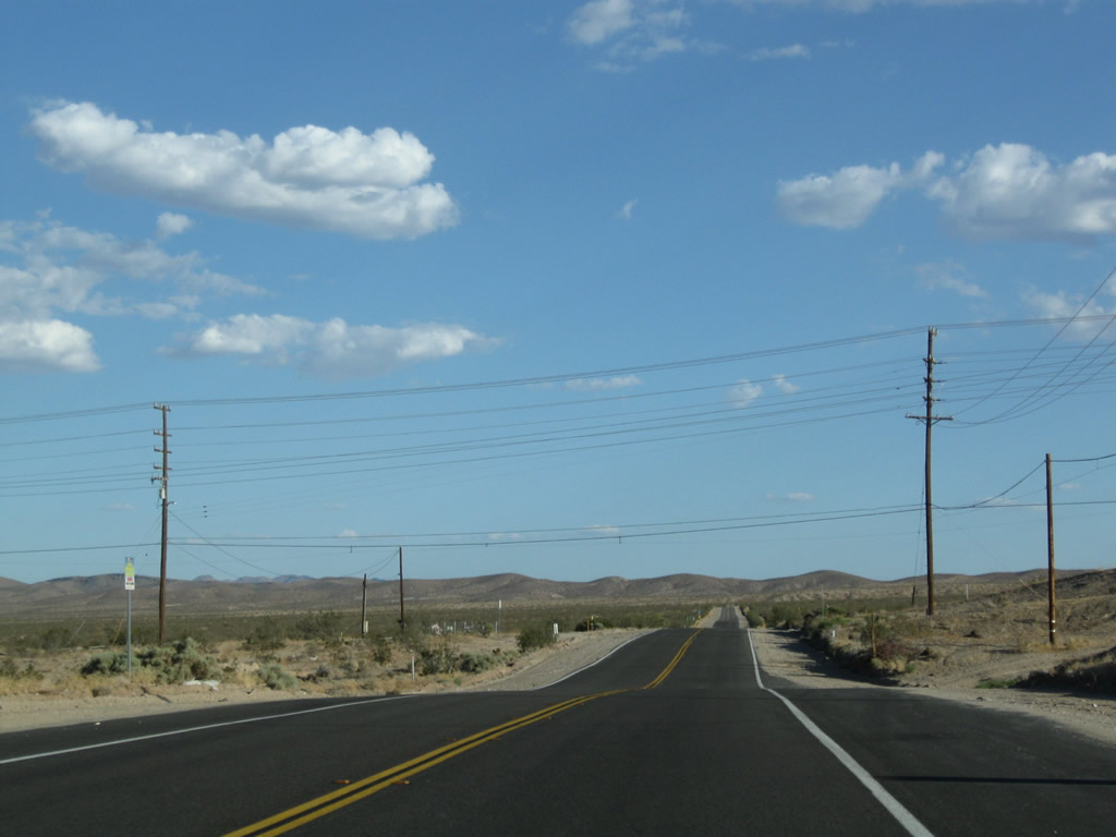
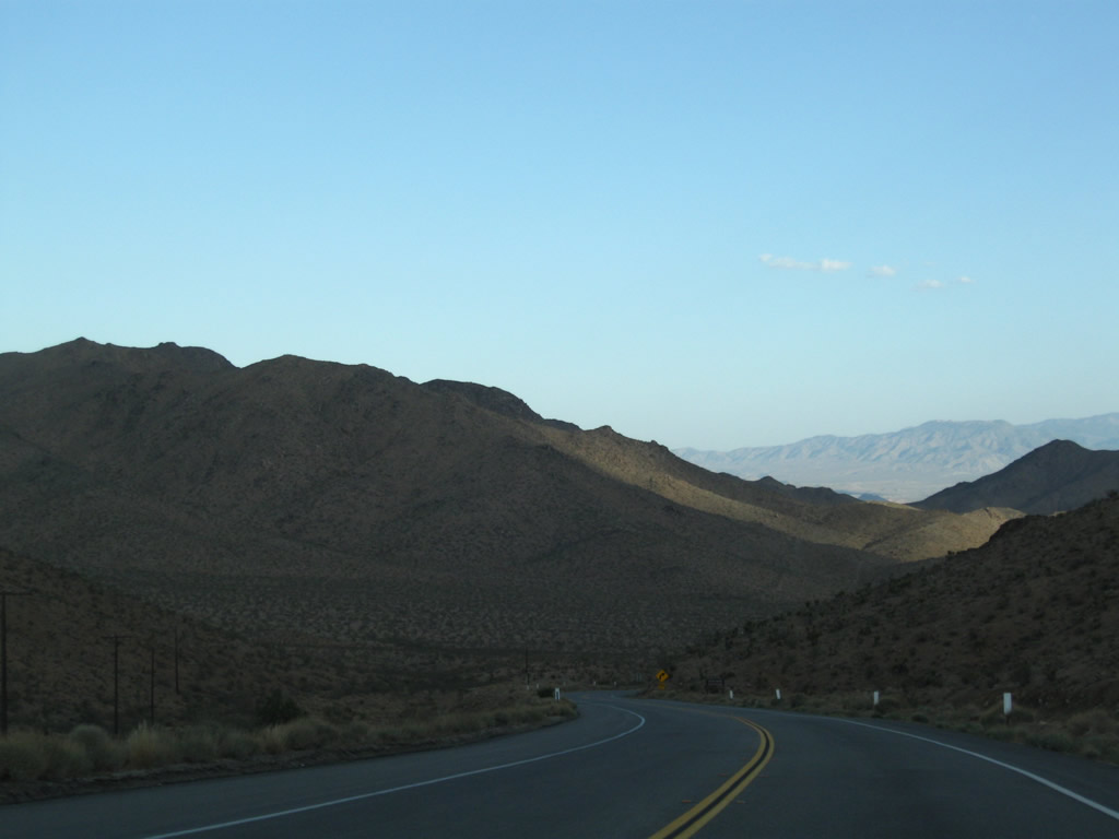
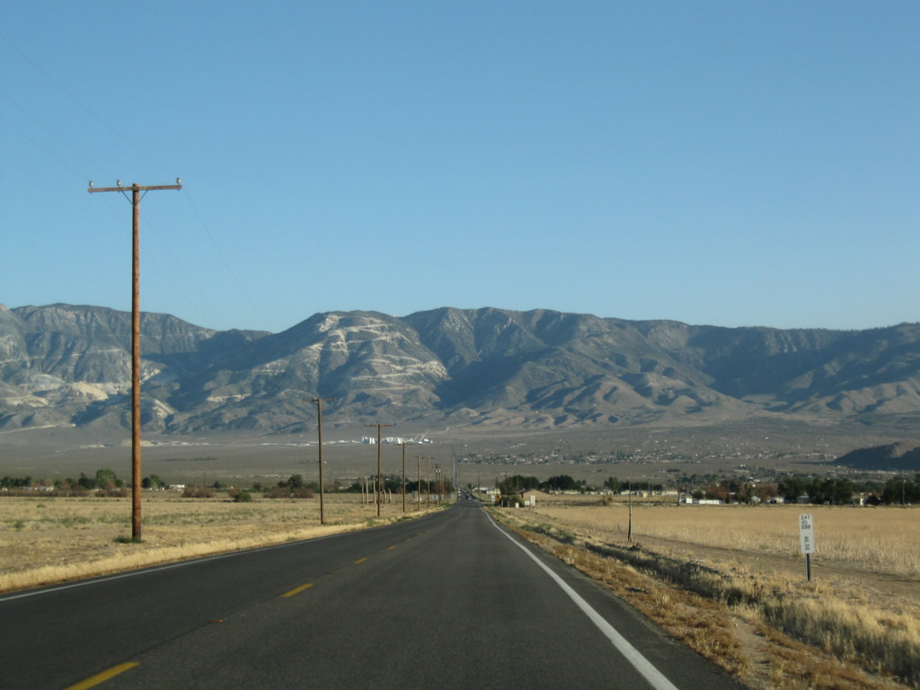
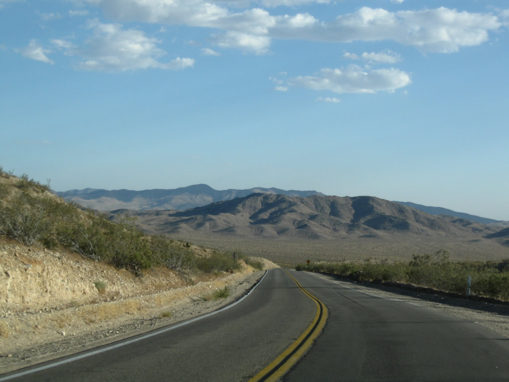
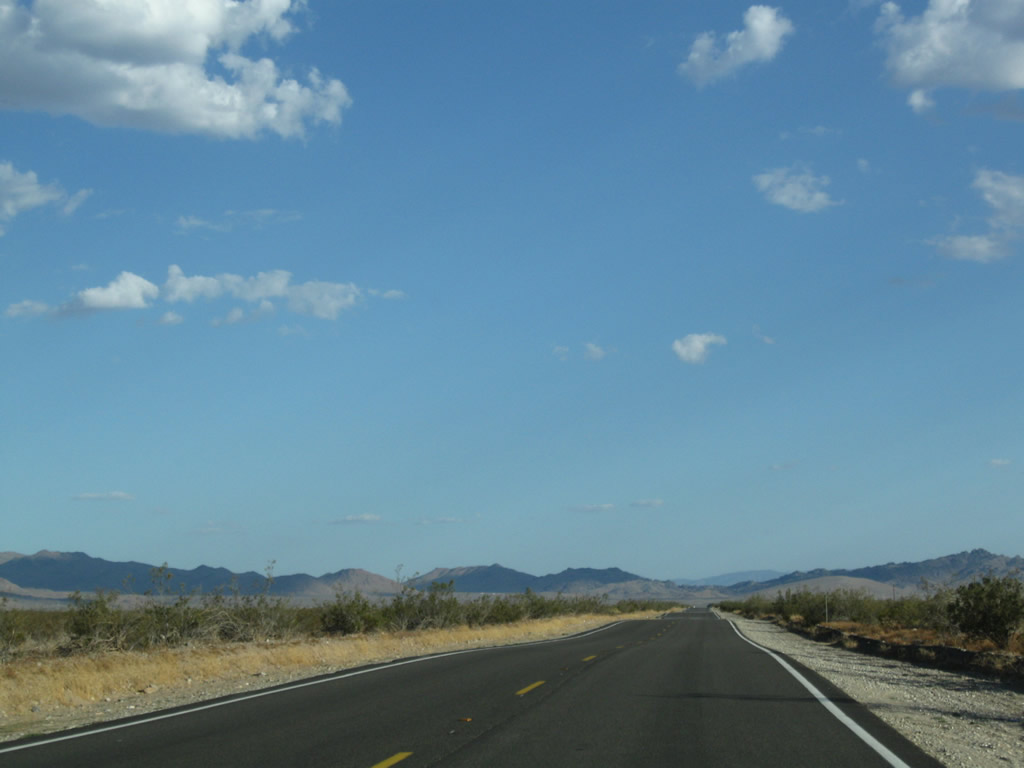
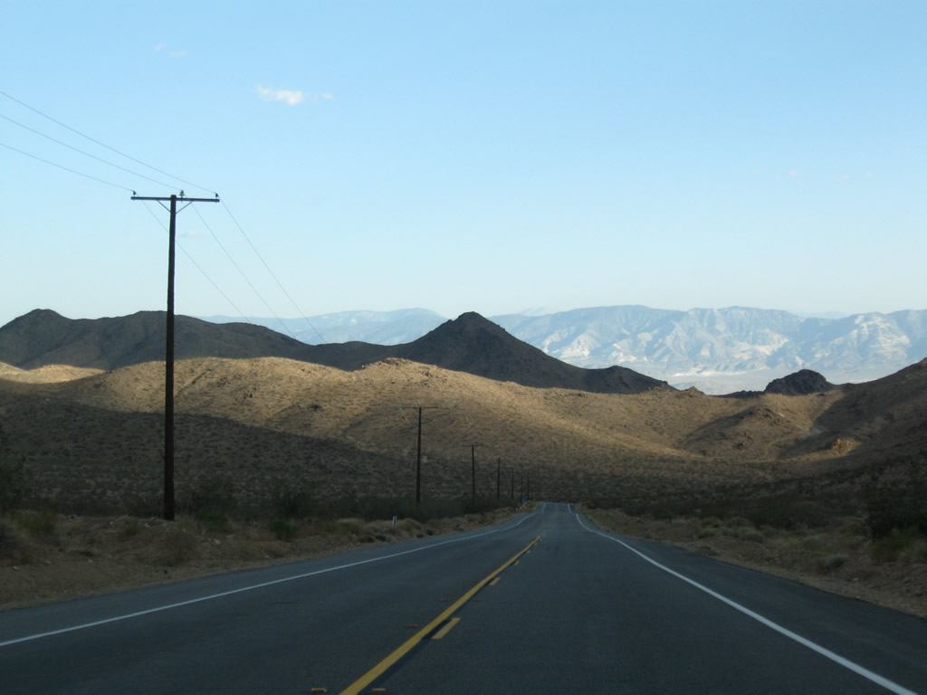
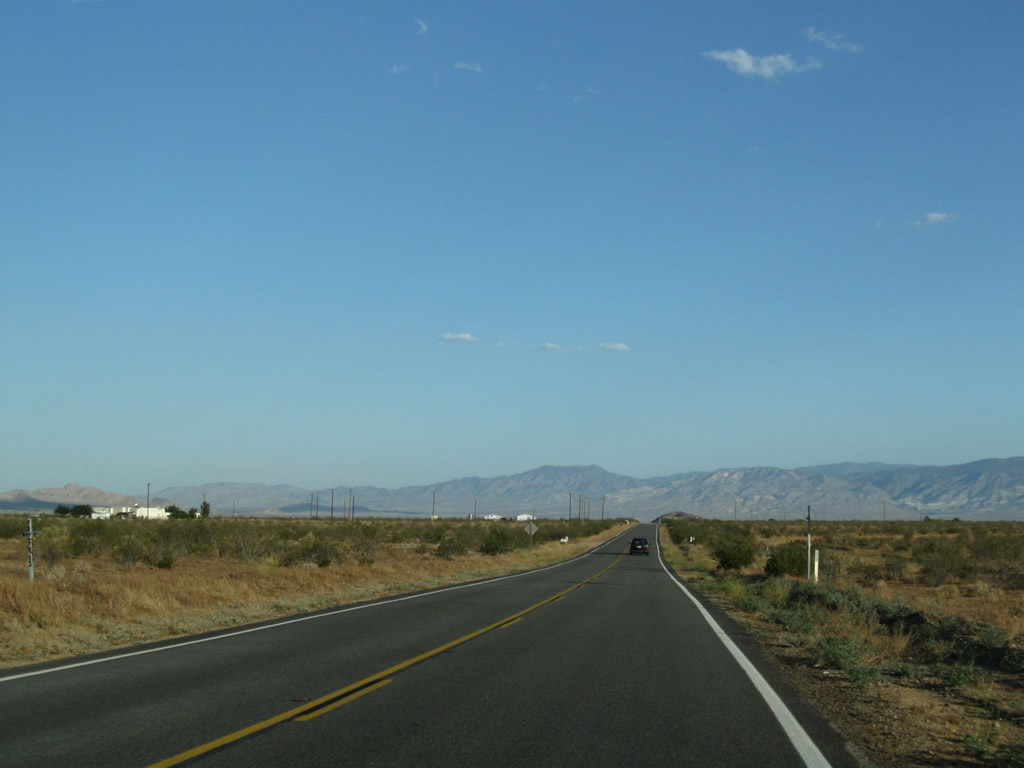
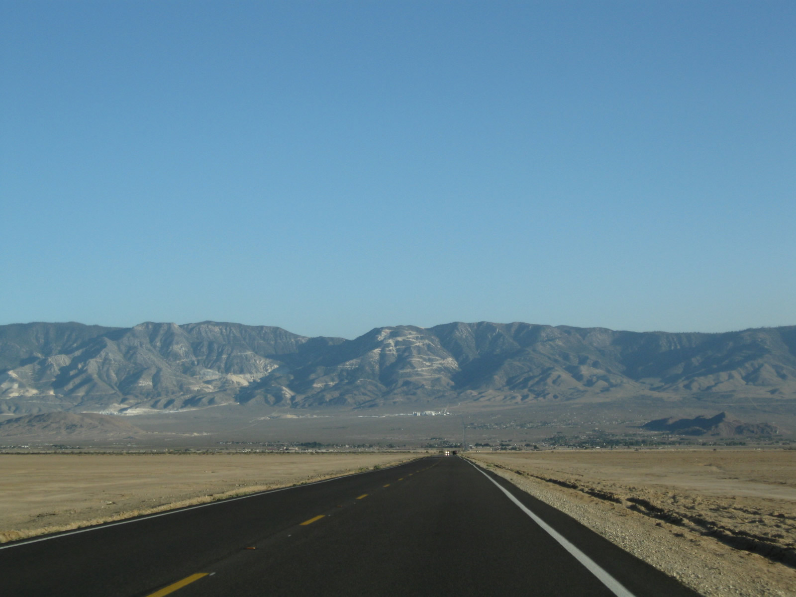
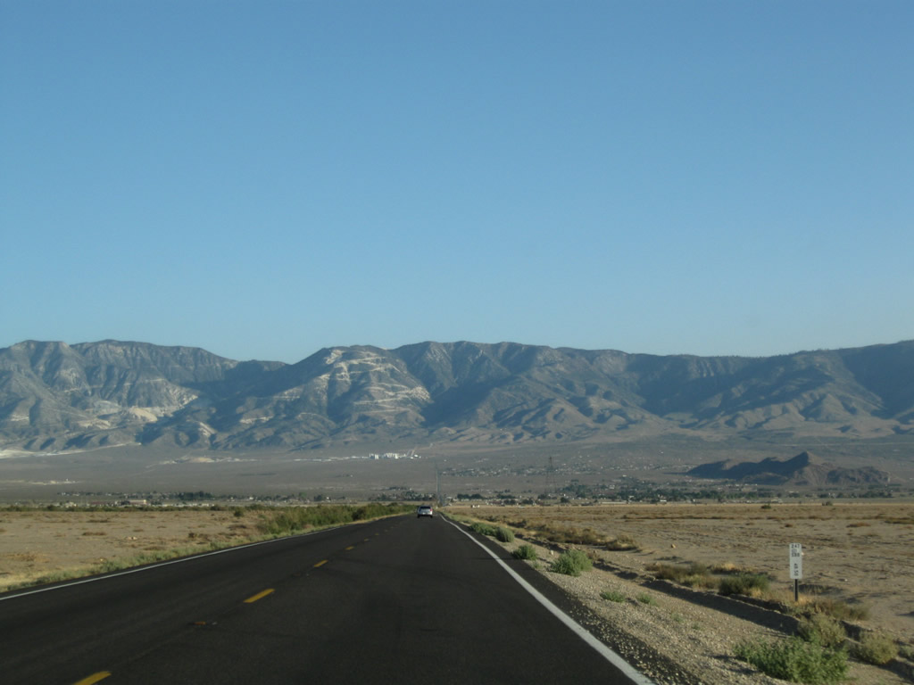
Traveling south from Barstow through the Mojave Desert on California 247. The two-lane highway narrows significantly from what was seen in Barstow, and the shoulders are soft. The highway ascends to the Daggett Ridge, then descends toward Stoddard Valley.
06/27/09
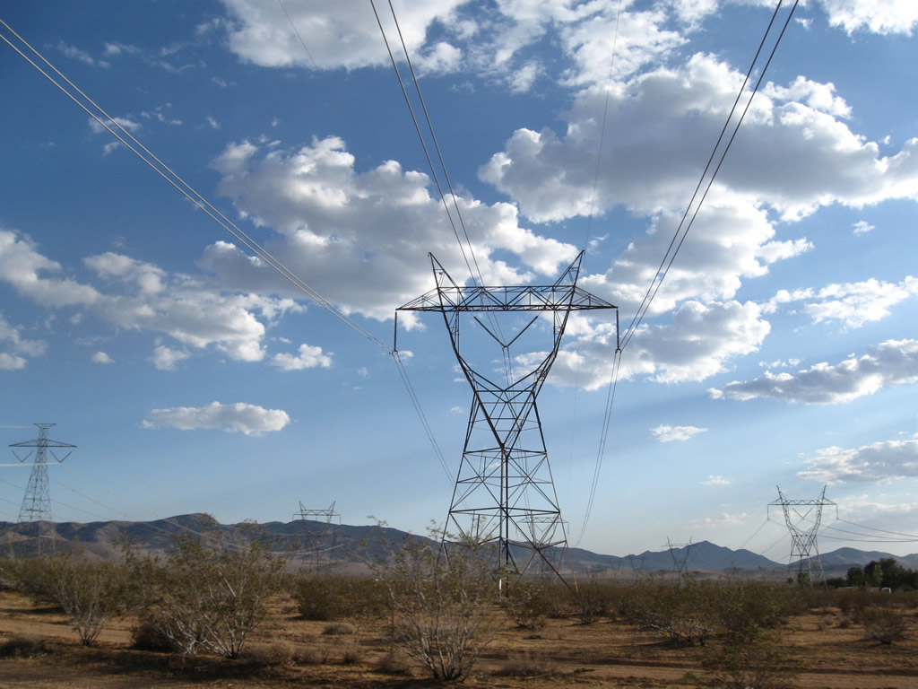
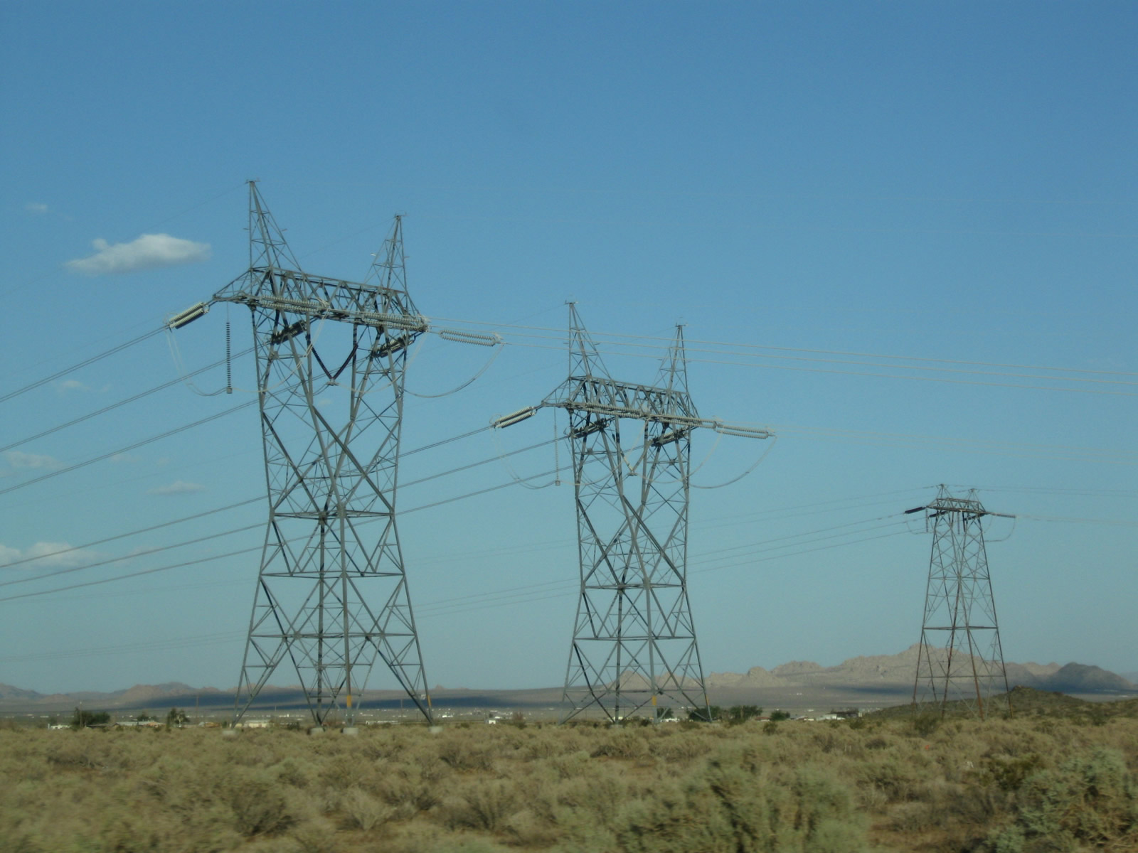
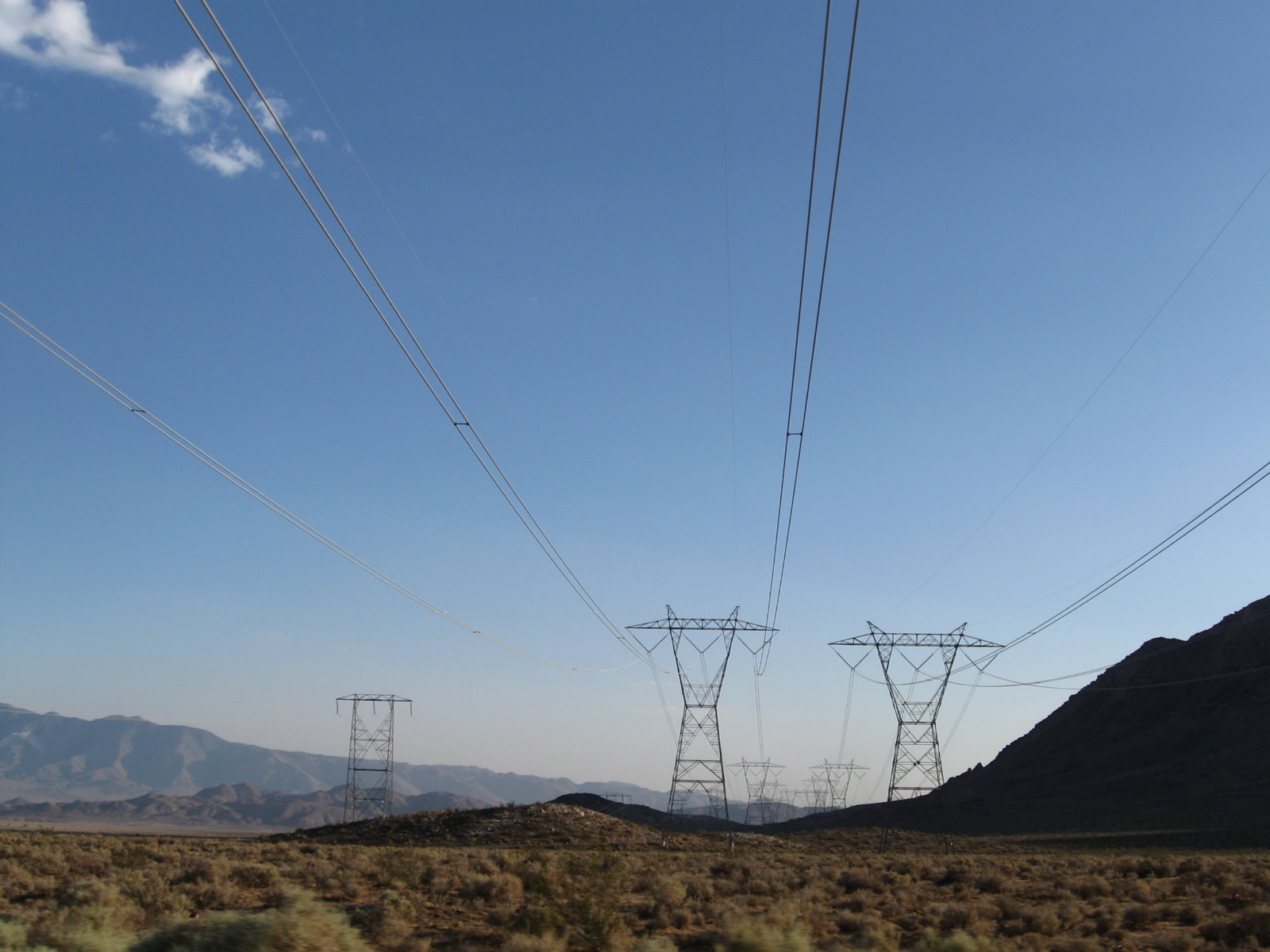
![Southeast of Barstow near the Slash X Cafe, California 247 passes under several powerlines, including a portion of Path 46 (West of Colorado River) from the vicinity of Hoover Dam and Path 27 (High Voltage Direct Current) bringing power from Delta, Utah. These four lines form a group of power lines that stay together between Adelanto-Victorville and the McCullough substation near Boulder City, Nevada. The three alternating current (AC) lines are 287kV, 500kV, and 500kV. The HVDC line is at +/-500kV. The first two lines are the two 500kV Los Angeles Department of Water and Power's McCullough - Victorville transmission line (part of Path 46/West of Colorado River, Arizona-California West-of-the-River Path [WOR]. The third line is the 287kV Hoover - Victorville line. The last tower of the four is Path 27, the ±500kV Intermountain High Voltage Direct Current (HVDC) transmission line leading from Delta, Utah.](../../ca/247/ca-247_sb_barstow_32.jpg)
Southeast of Barstow near the Slash X Cafe, California 247 passes under several powerlines, including a portion of Path 46 (West of Colorado River) from the vicinity of Hoover Dam and Path 27 (High Voltage Direct Current) bringing power from Delta, Utah. These four lines form a group of power lines that stay together between Adelanto-Victorville and the McCullough substation near Boulder City, Nevada. The three alternating current (AC) lines are 287kV, 500kV, and 500kV. The HVDC line is at +/-500kV. The first two lines are the two 500kV Los Angeles Department of Water and Power's McCullough - Victorville transmission line (part of Path 46/West of Colorado River, Arizona-California West-of-the-River Path [WOR]. The third line is the 287kV Hoover - Victorville line. The last tower of the four is Path 27, the ±500kV Intermountain High Voltage Direct Current (HVDC) transmission line leading from Delta, Utah.
06/27/09
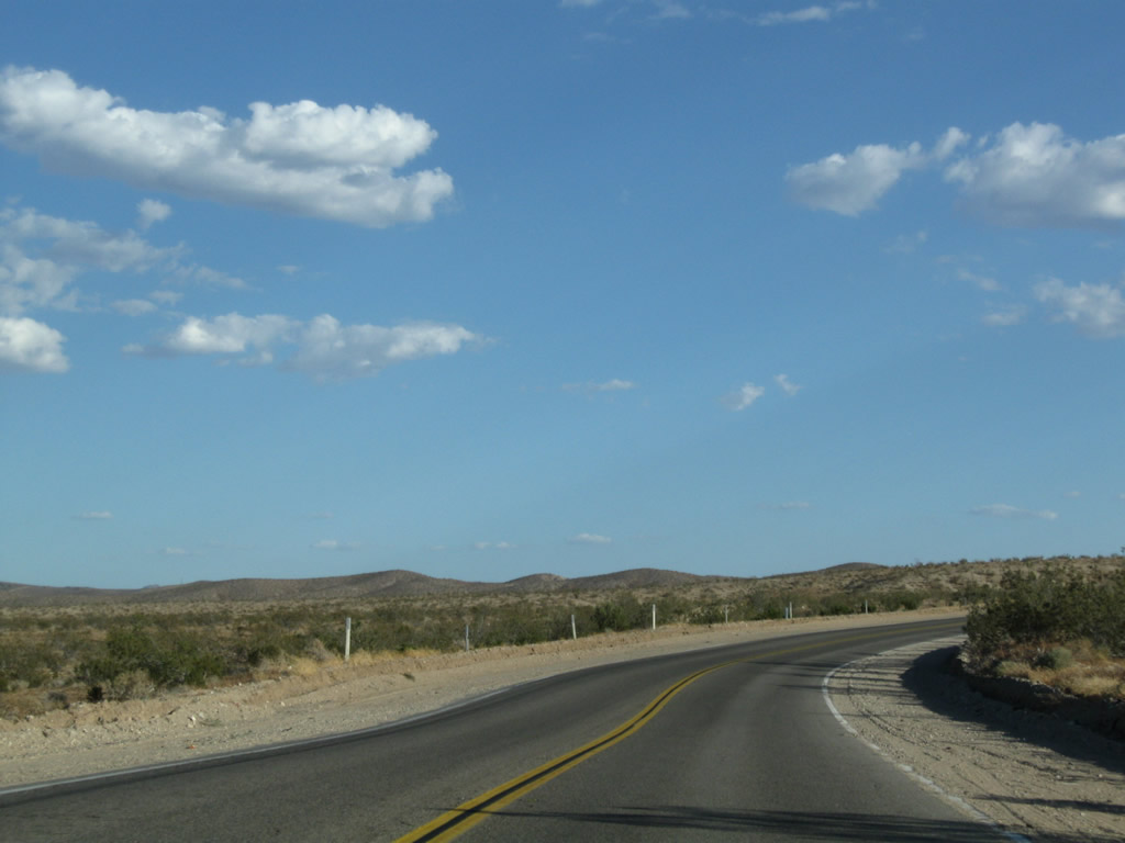
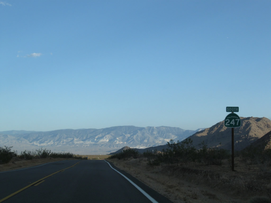
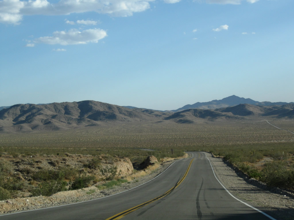
California 247 proceeds south across the wide expanse of Stoddard Valley before climbing again toward Stoddard Ridge and the Ord Mountains.
06/27/09
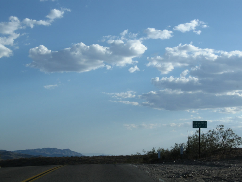
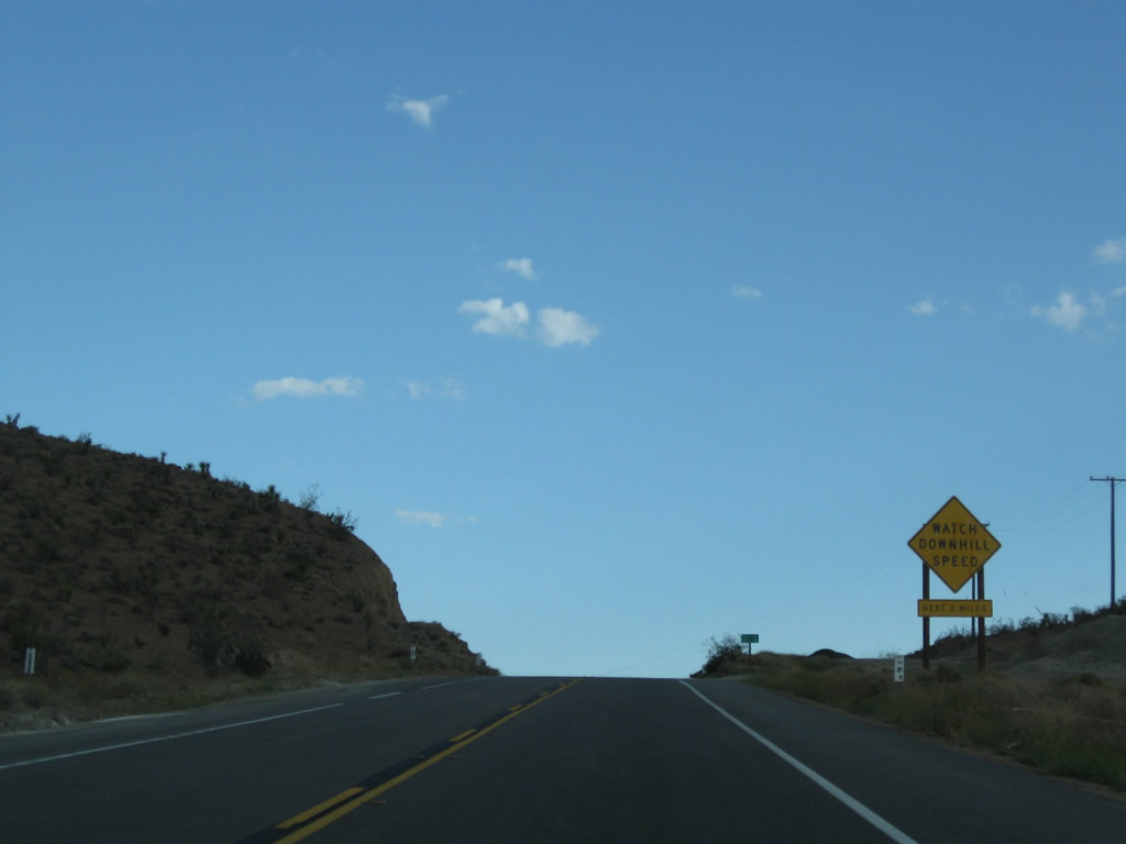
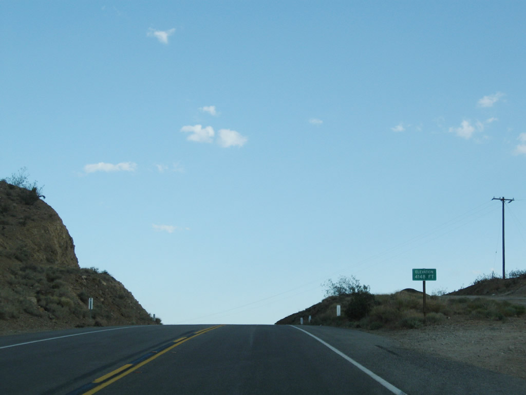
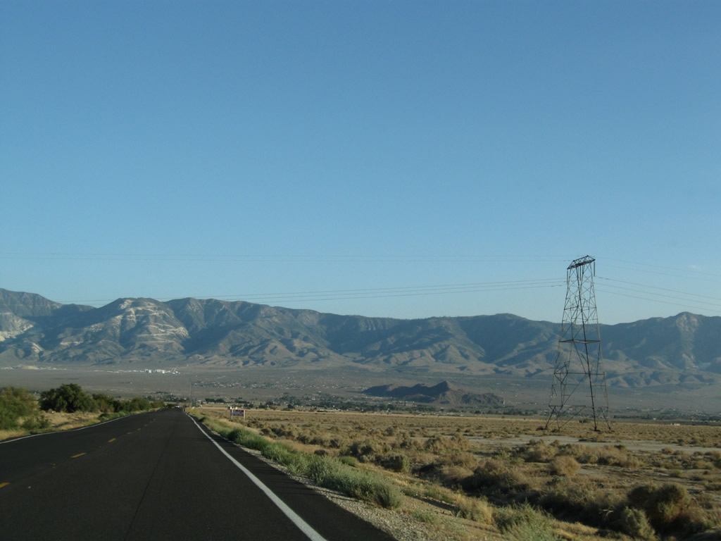
Leaving Stoddard Valley, California 247 ascends to an elevation of 4,148 feet at the summit between Stoddard Ridge and Goat Mountain.
06/27/09
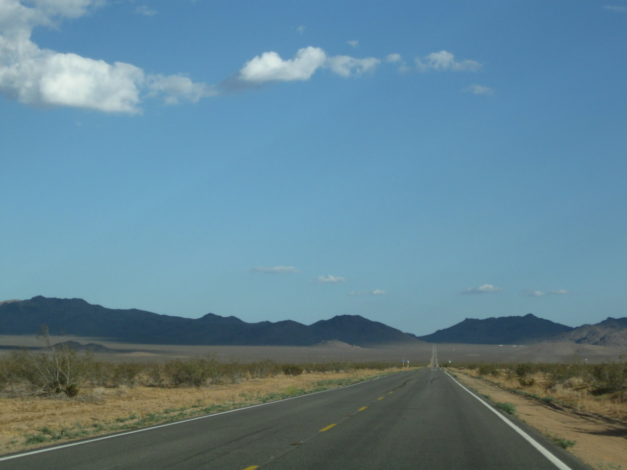
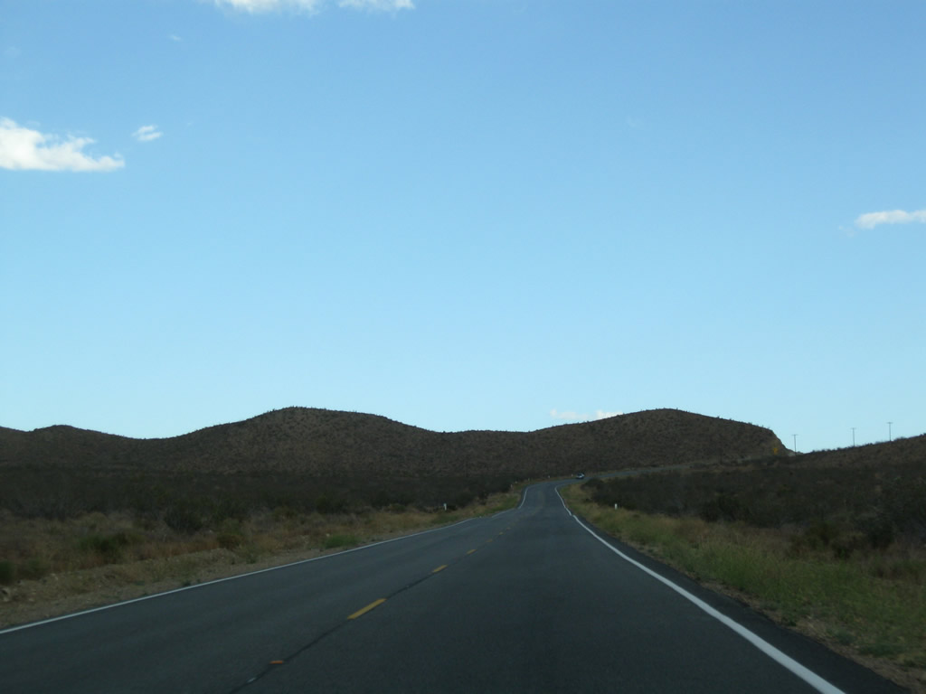
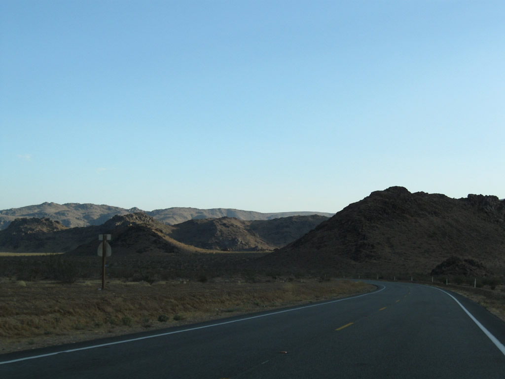
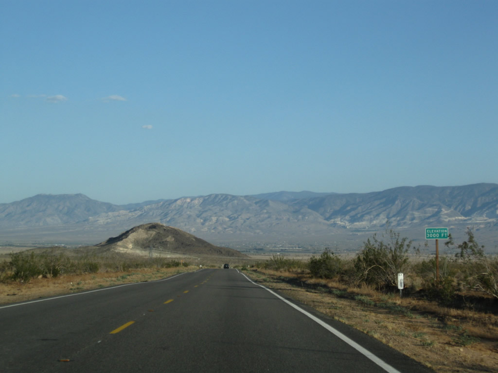
Turning southwest, California 247 passes the Ord Mountains and descends into North Lucerne Valley.
06/27/09
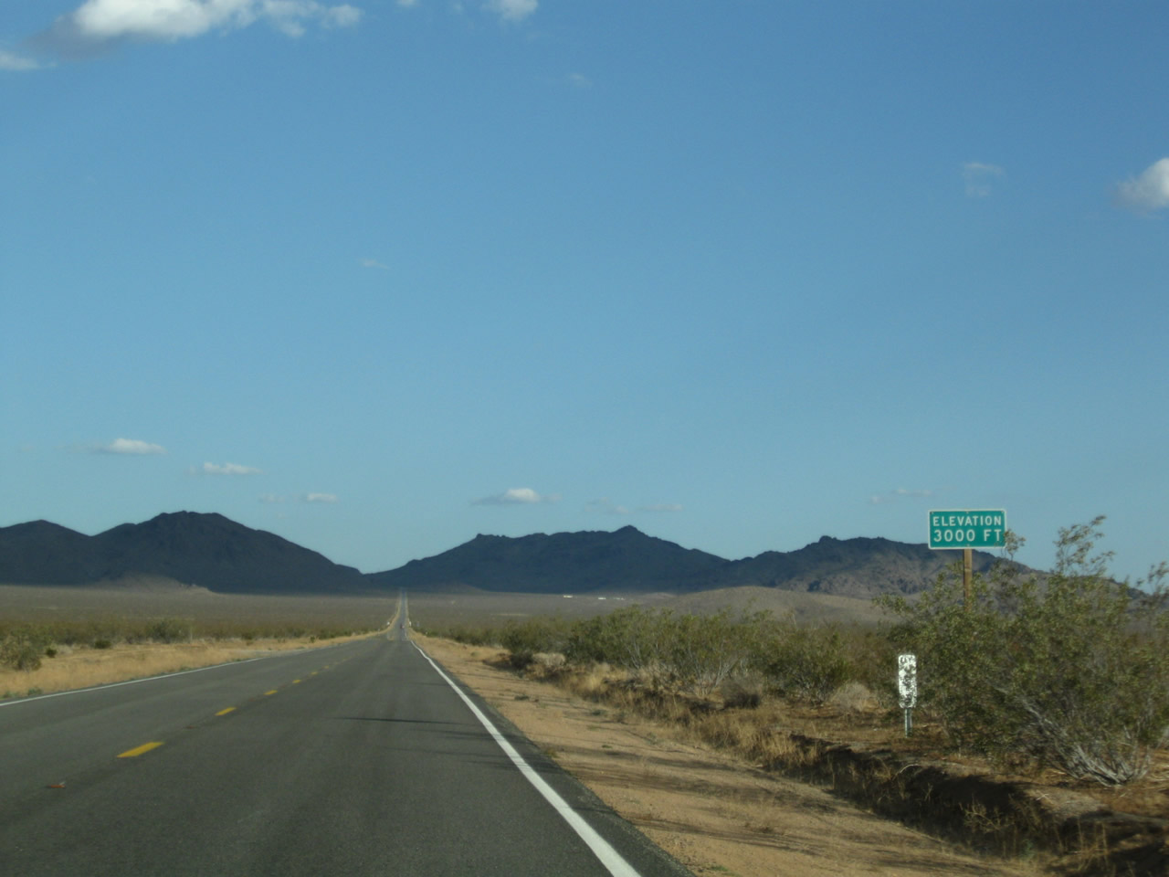
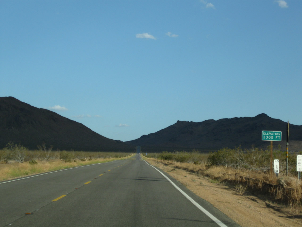
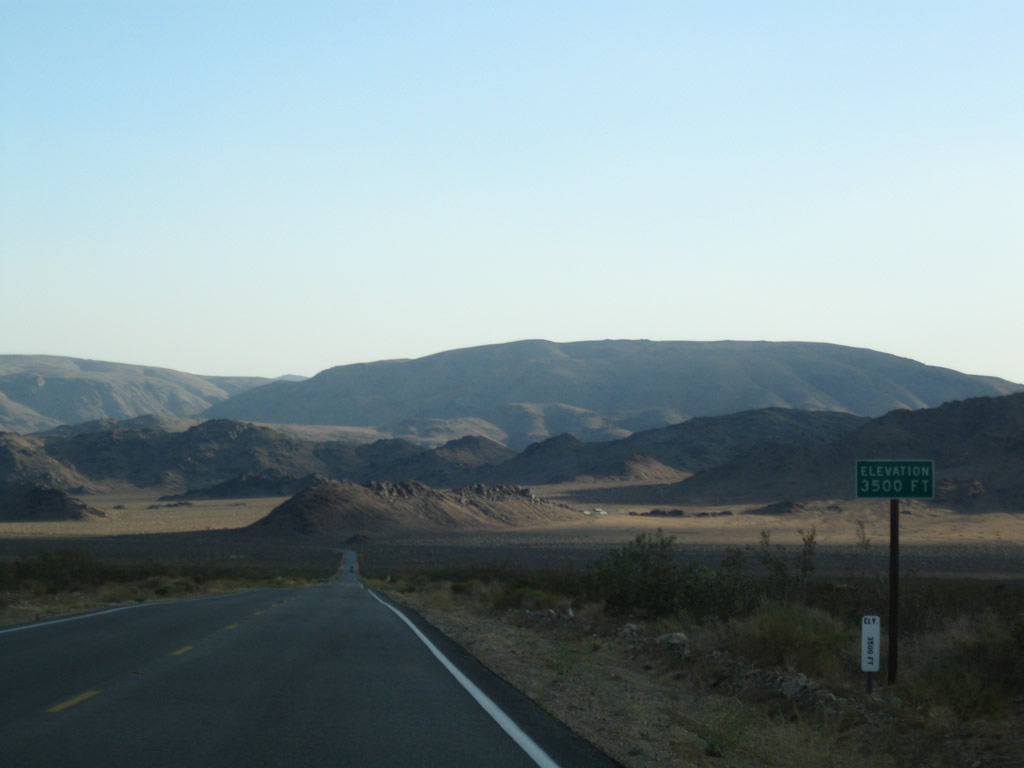
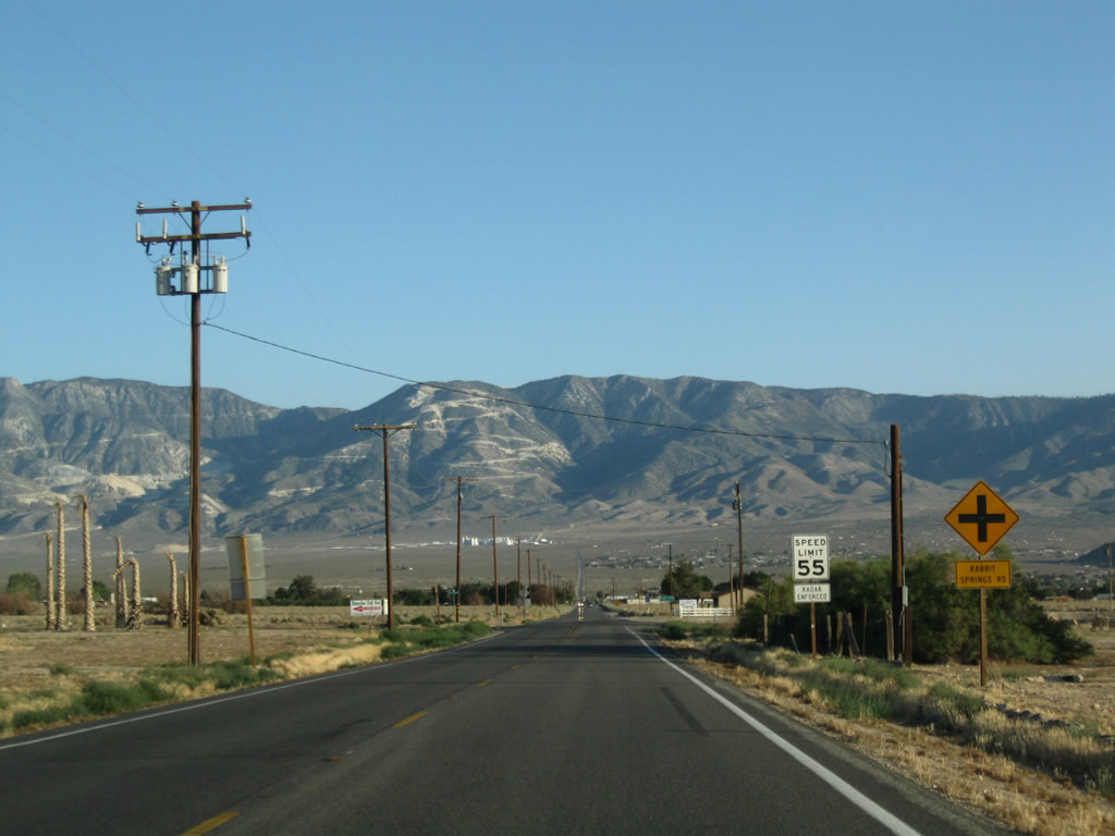
SR 247 curves southeastward by Sidewinder Mountain and lowers to 3,000 feet above sea level across North Lucerne Valley.
06/27/09
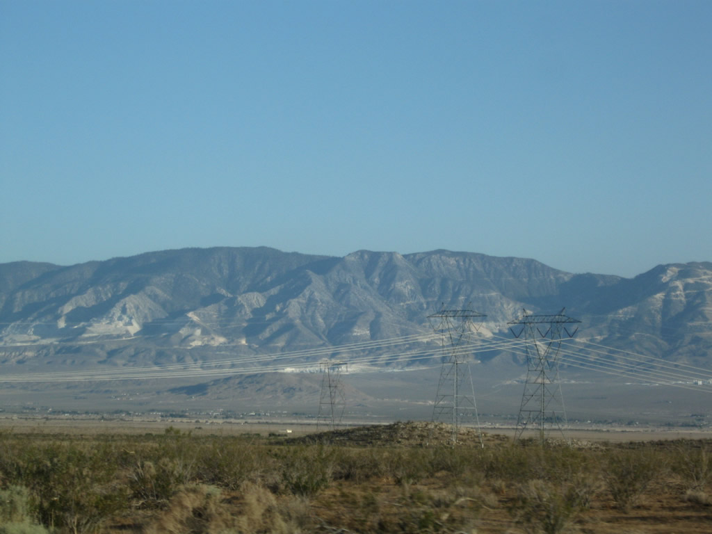
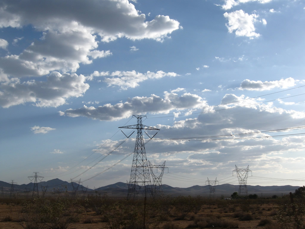
Against the backdrop of the San Bernardino Mountains, another set of Path 46 (West of Colorado River) power lines pass over California 246. These lines, which connect power generating stations along the Colorado River and points east, connect to the Southern California Edison electric grid at the Lugo substation in Hesperia. Two lines are 500kV, while the third line is 220kV.
06/27/09
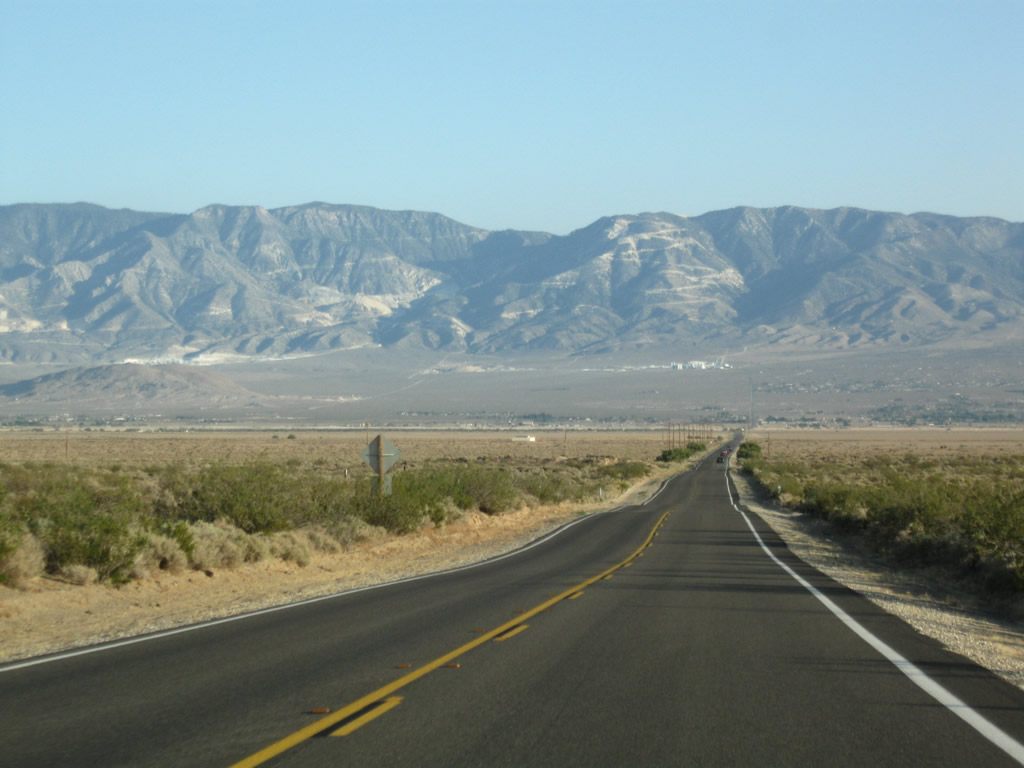
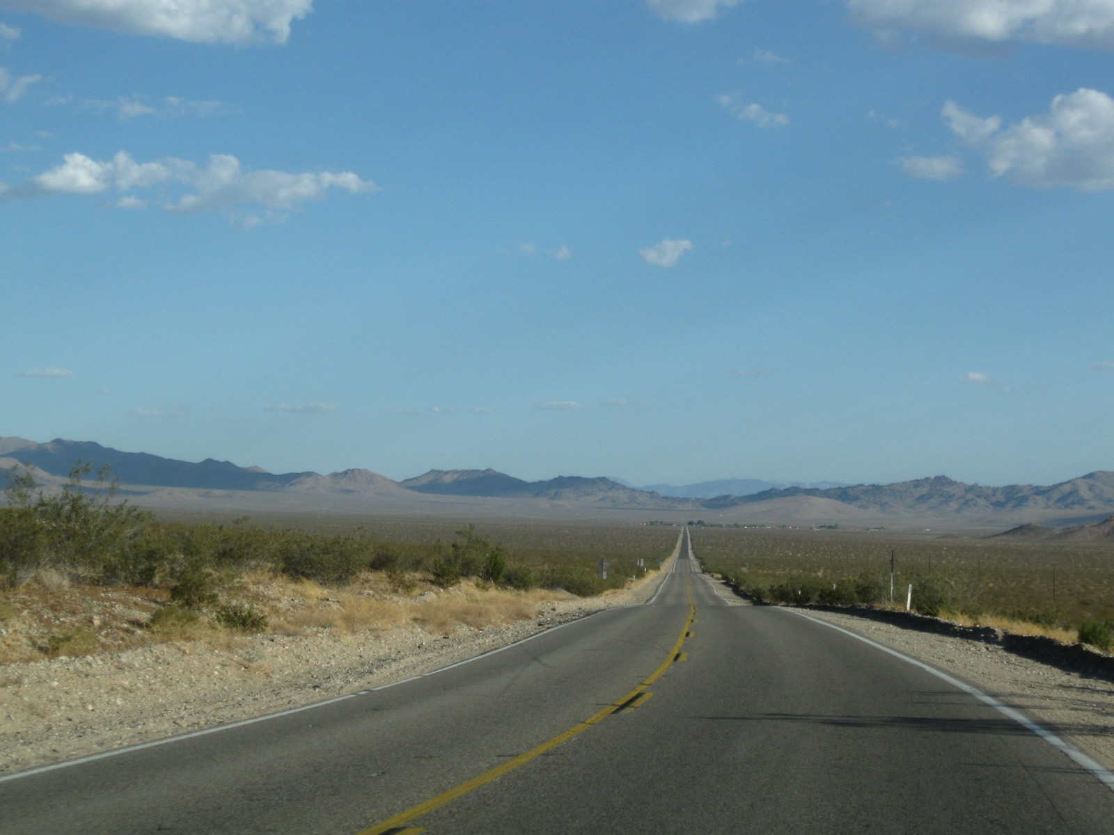
SR 247 bee lines south from near Peterman Hill across Lucerne Valley. The state route travels across the Lucerne Dry Lake, which is evident by the sudden lack of foliage and ample dry caked mud on both sides of the road.
06/27/09
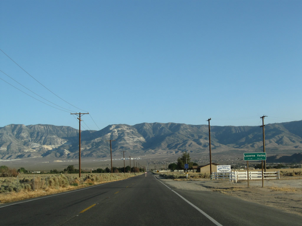
Power poles, fences and ranch houses appear along SR 247 leading into the community of Lucerne Valley. Isolated from the more populated corridor along Interstate 15, Lucerne Valley is located east of the Victor Valley and Apple Valley and west of the Johnson Valley.
06/27/09
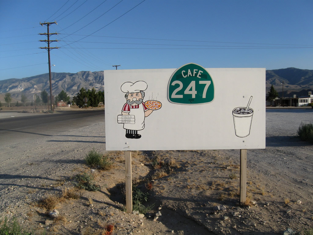
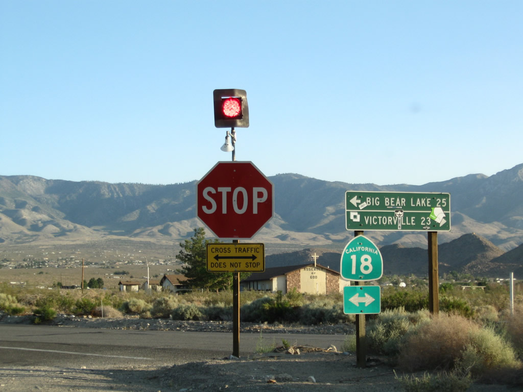
SR 247 (Barstow Road) intersects Old Woman Springs Road bu Cafe 247 in the community of Lucerne Valley. SR 247 and SR 18 do not directly meet, but state-maintained sections of Barstow Road south and Old Woman Springs Road west link the two routes.
06/27/09
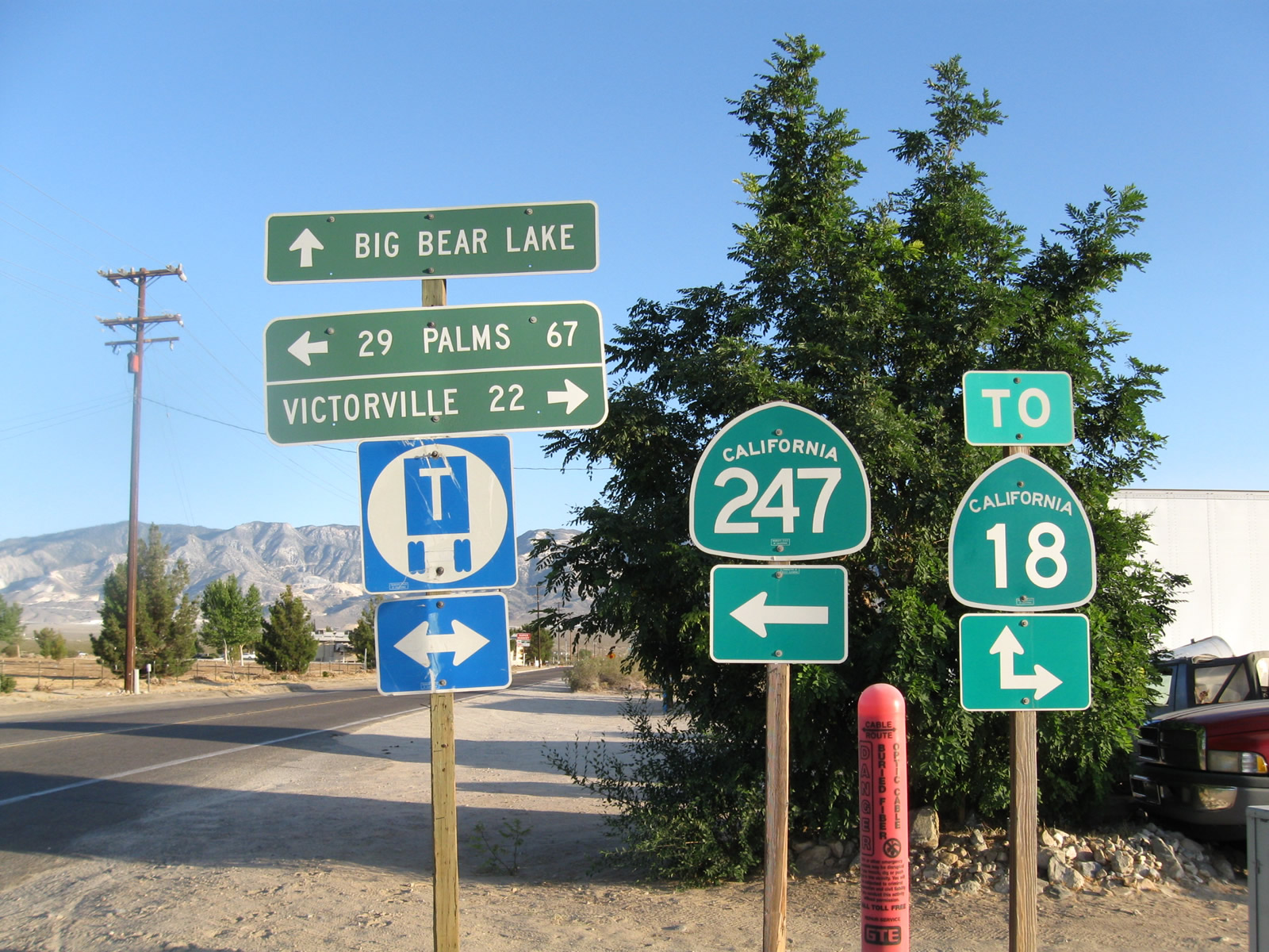
SR 247 continues east along Old Woman Springs Road toward Landers and Yucca Valley. Barstow Road extends a quarter mile south to SR 18 for Big Bear Lake. Old Woman Springs Road connects with SR 18 a quarter mile to the west for Apple Valley and Victorville.
06/27/09
Barstow Road continues south from the eastern turn of SR 247 onto Old Woman Springs Road to SR 18. SR 18 angles southeast from Lucerne Valley into the San Bernardino Mountains. West from SR 247, SR 18 runs south fo the Granite Mountains to Apple Valley.
06/27/09
Old Woman Springs Road runs east along the section line for five miles from Barstow Road before shifting southward around the San Bernardino Mountains toward Landers and Yucca Valley. SR 247 ultimately links with SR 62 in Yucca Valley; SR 62 proceeds south to Palm Springs or east to 29 Palms.
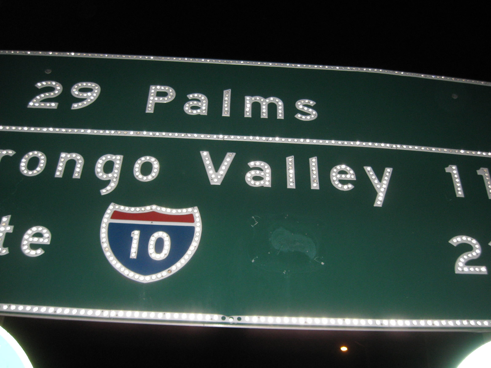
06/27/09
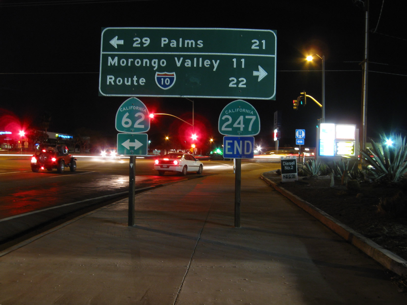
Southbound California 247 ends at California 62 in Yucca Valley, 22 miles from Interstate 10. An equal distance east is 29 Palms, and there are no services on California 62 east of 29 Palms until Vidal Junction (U.S. 95).
11/11/08
Evidence of a U.S. 60 shield remained on this button copy sign at SR 247/62 dating from the 1960s.
11/11/08
Photo Credits:
- Andy Field: November 2000, 11/11/08, 03/15/09, 06/27/09
Connect with:
Page Updated Tuesday January 15, 2013.