
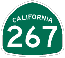
State Route 267
California 267 connects California 28 in Kings Beach (along the north shore of Lake Tahoe) with Interstate 80 and California 89 in Truckee.
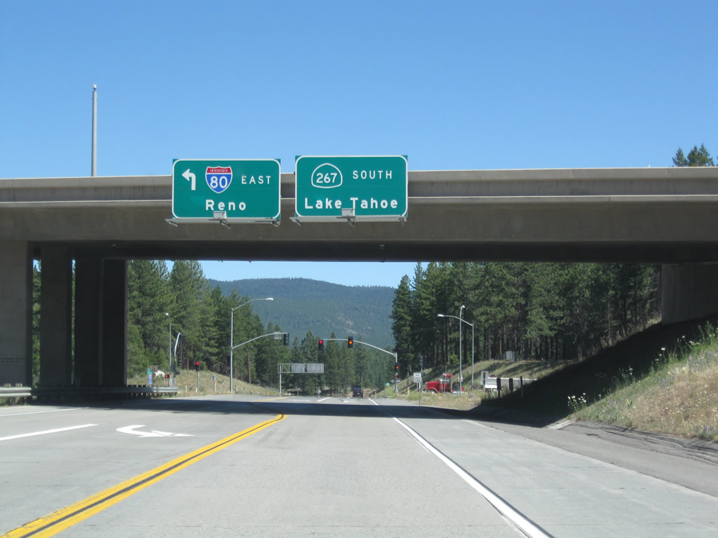
California 267 begins after traffic bound for Interstate 80 west and California 89 south merge onto the freeway. An overhead sign advises of the upcoming left turn to Interstate 80 east and the beginning of California 267 south to the north shore of Lake Tahoe.
07/21/09
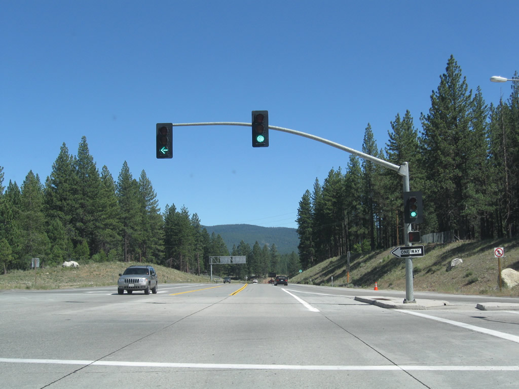
Southbound California 267 meets the on-ramp to Interstate 80 east to Reno, Elko, and Salt Lake City.
07/21/09
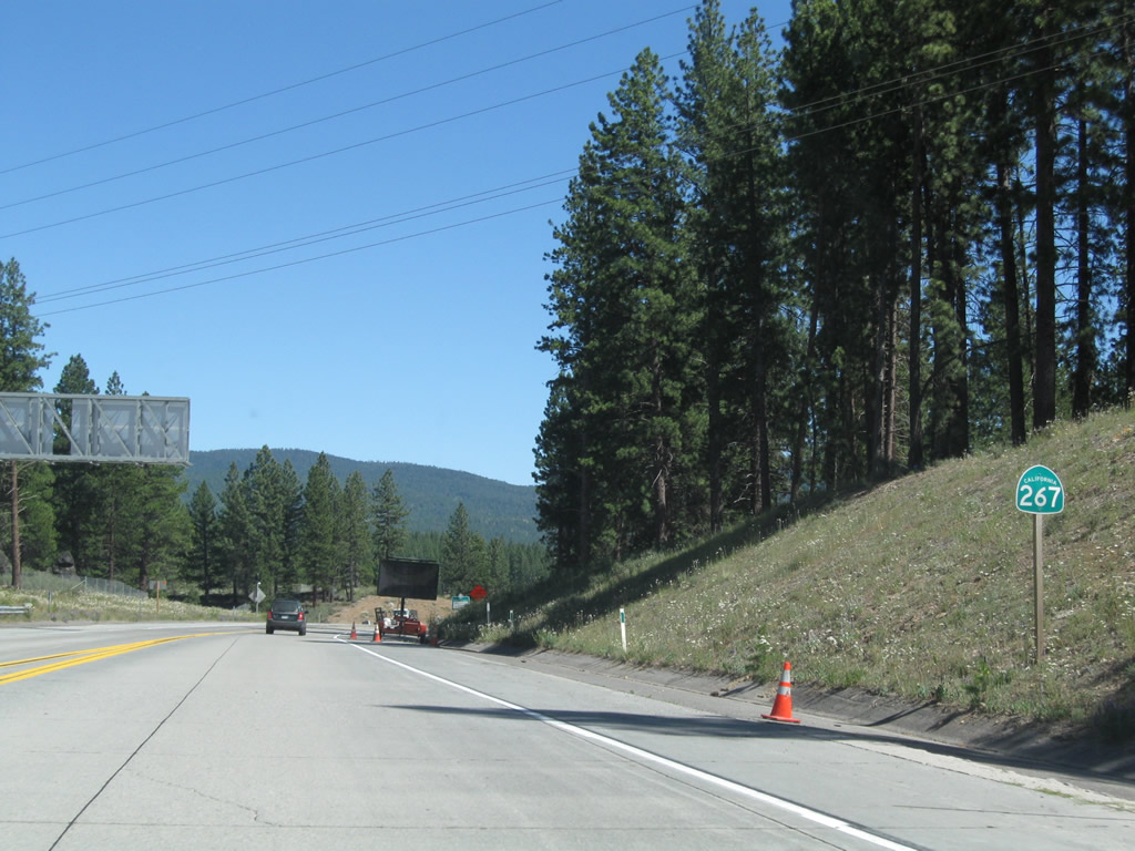
This is the first reassurance shield for California 267 south after the Interstate 80 interchange.
07/21/09
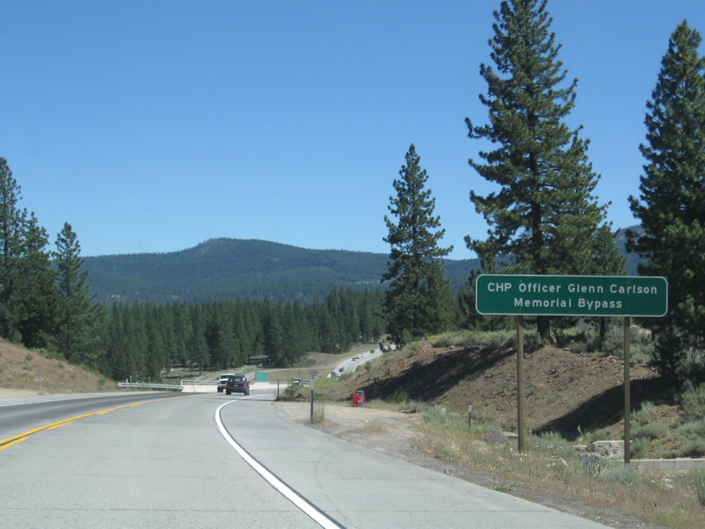
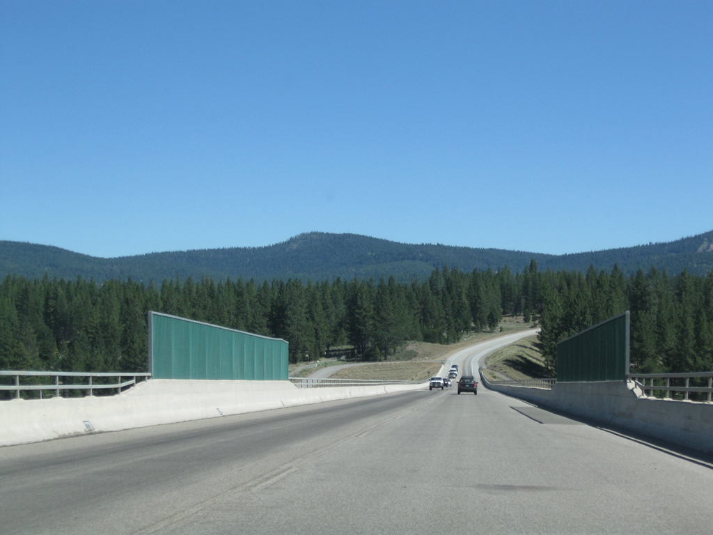
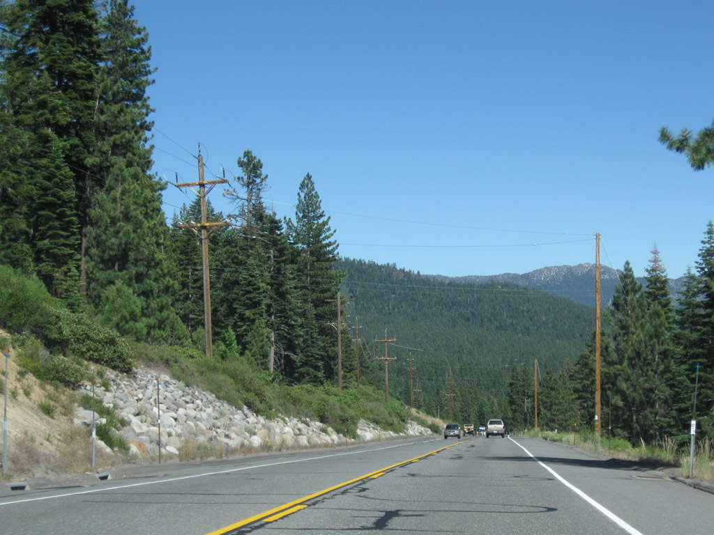
California 267 was realigned in 2002 onto a two-lane expressway bypass. Known as the CHP Officer Glenn Carlson Memorial Bypass, the expressway has ample right of way for expansion to four lanes, and it features a tall bridge over the Union Pacific Railroad, Glenshire Drive, and the Truckee River. The bypass cost $33.6 million. Construction began in August 1999, and the facility opened on October 24, 2002. The old alignment is now known solely as Brockway Road and does not carry a business designation.
07/21/09
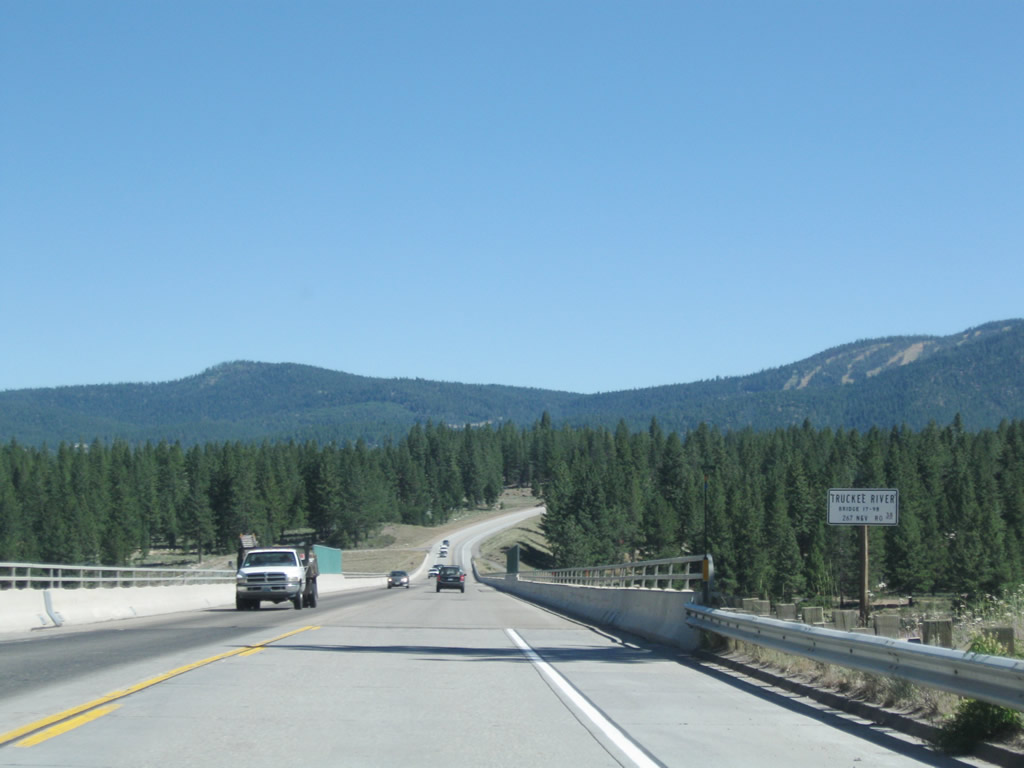
A high level bridge takes SR 267 south over the Union Pacific Railroad, Historic U.S. 40 (Glenshire Drive), and the Truckee River. Expansion plans for SR 267 would require a second parallel bridge over this valley.
07/21/09
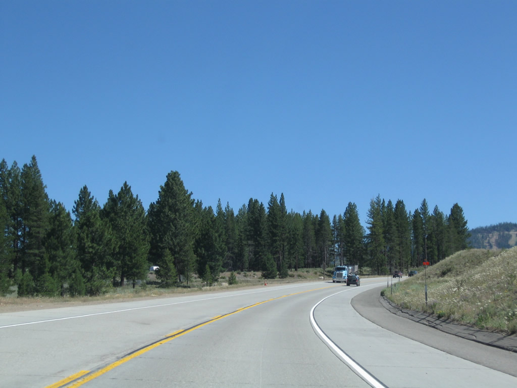
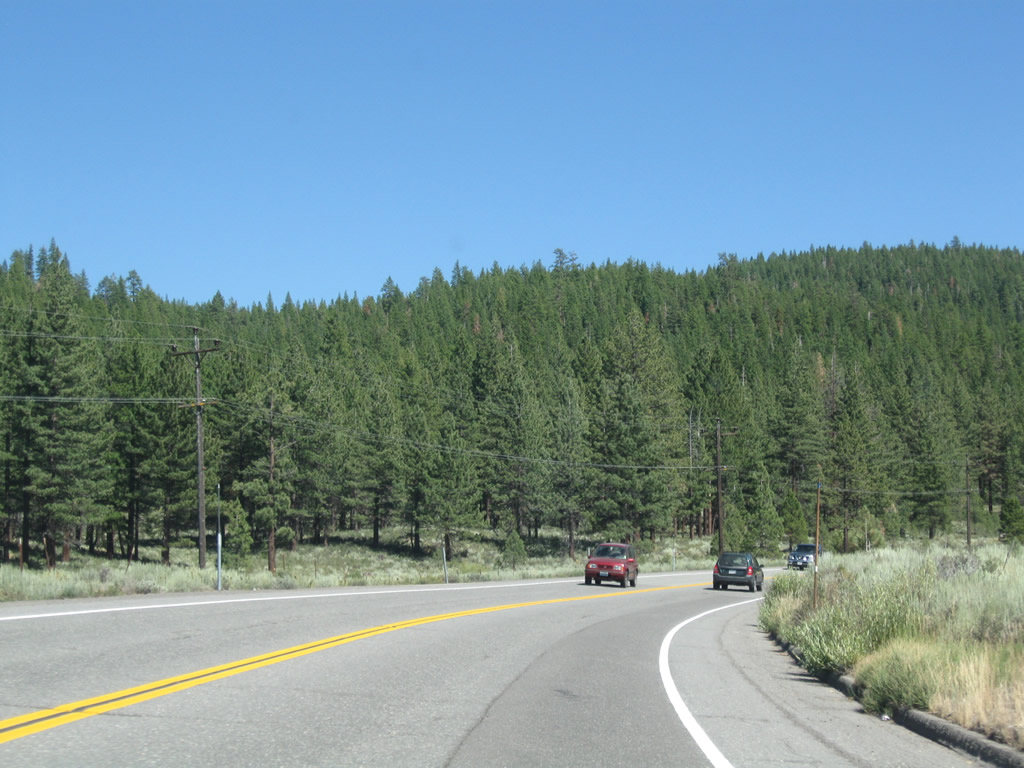
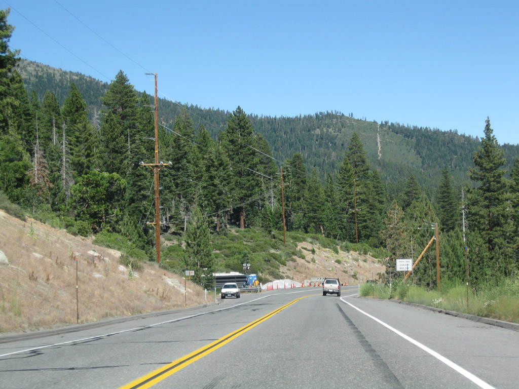
Southbound California 267 continues toward its junction with Brockway Road. In the distance, the ski runs associated with Northstar at Tahoe come into view.
07/21/09
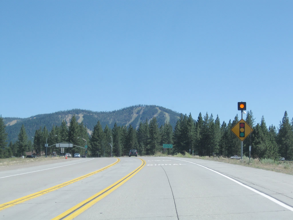
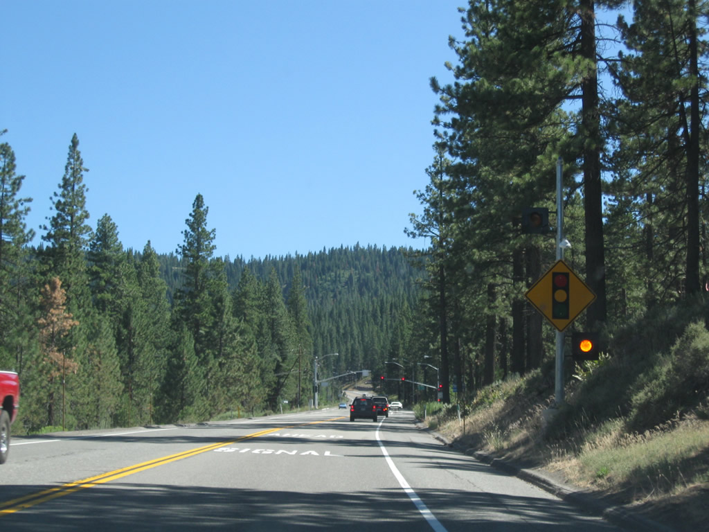
The first signalized intersection along southbound California 267 since leaving the Interstate 80 interchange is with Brockway Road.
07/21/09
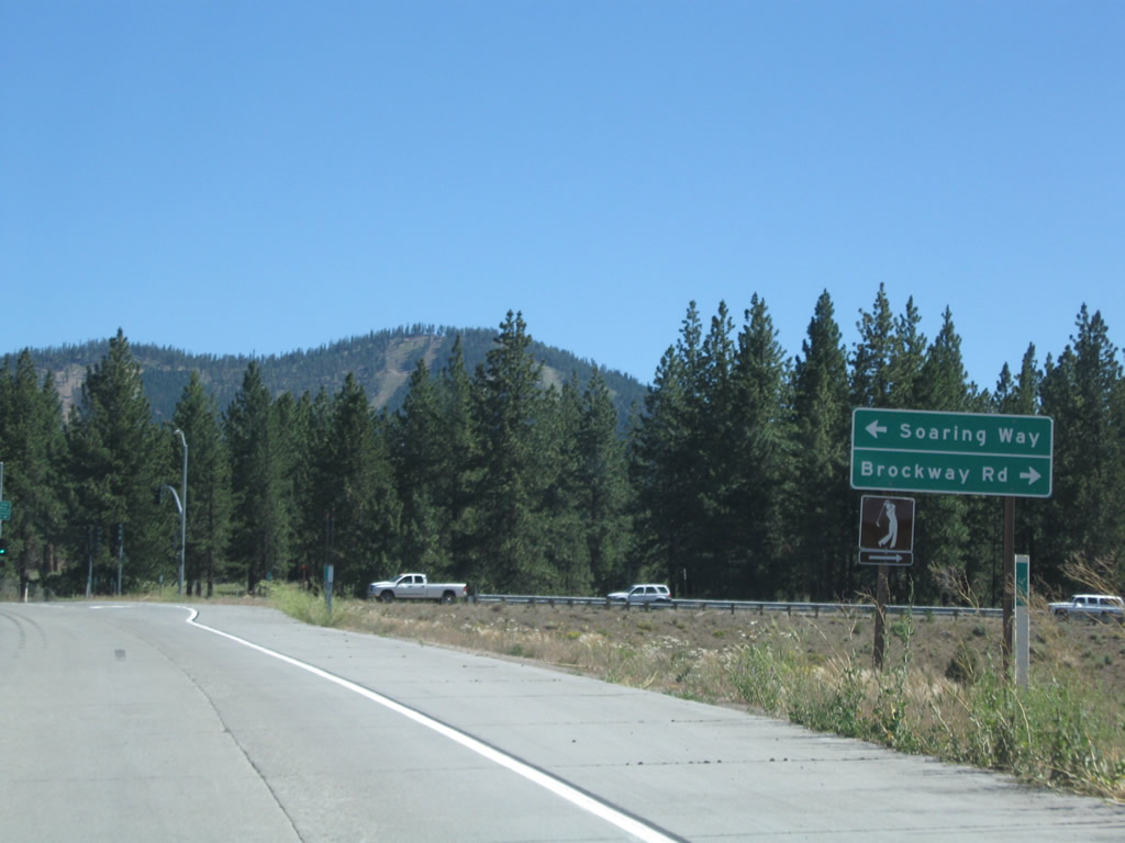
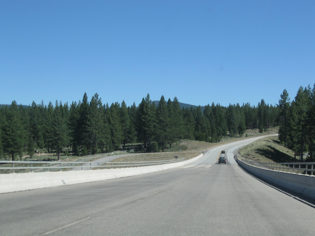
Southbound California 267 meets Brockway Road, and the Truckee-Carlson Bypass ends. Prior to 2002, Brockway Road carried California 267 into downtown Truckee, then turned northeast to meet Interstate 80 and California 89.
07/21/09
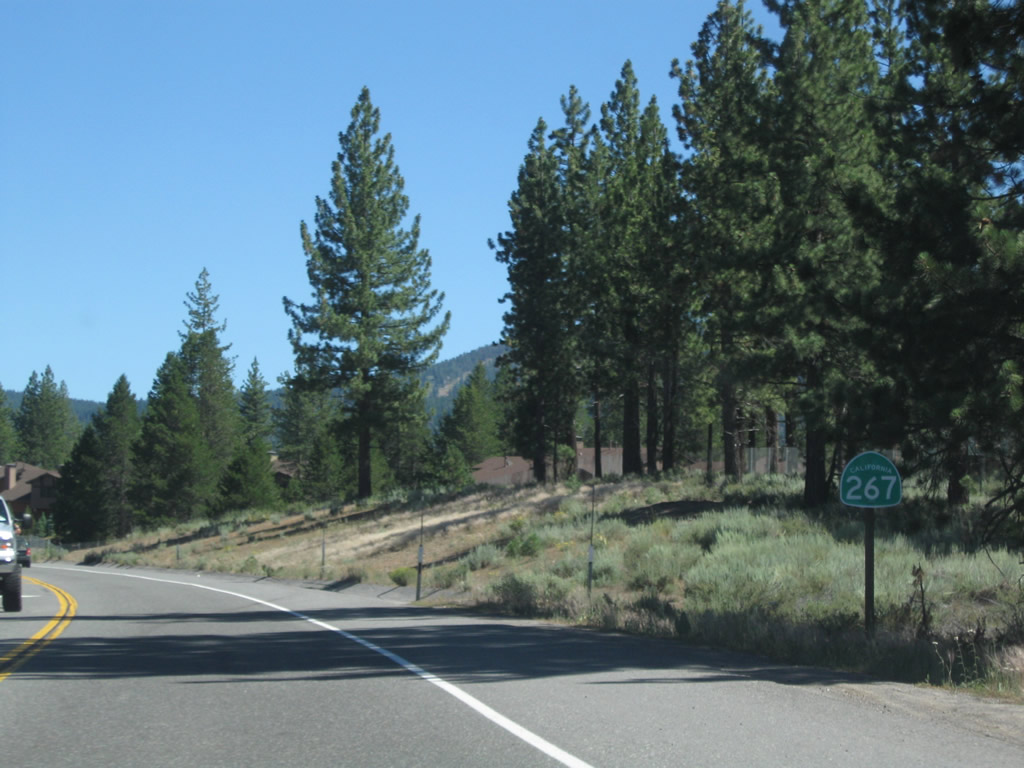
A California 267 reassurance shield is posted after the intersection with Brockway Road.
07/21/09
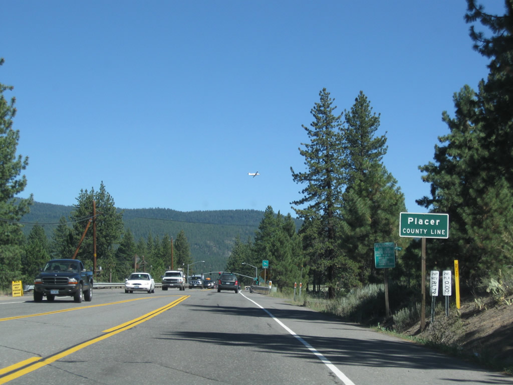
Southbound California 267 (North Shore Road) leaves Nevada County and enters Placer.
07/21/09
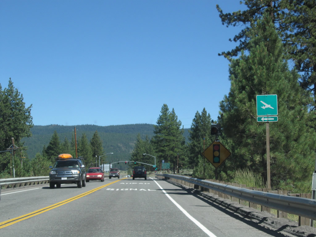
The next traffic signal along California 267 south (east) is with Truckee Tahoe Airport Road and Schaffer Mill Road. Turn left to Truckee-Tahoe Airport.
07/21/09
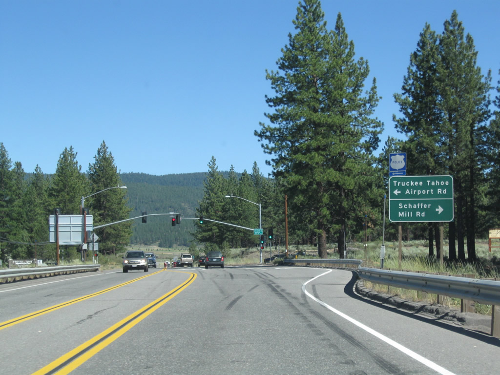
Southbound California 267 meets Truckee Tahoe Airport Road and Schaffer Mill Road. Turn right on Schaffer Mill Road to the residential community surrounding Lahontan Golf Club.
07/21/09
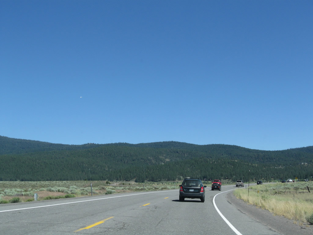
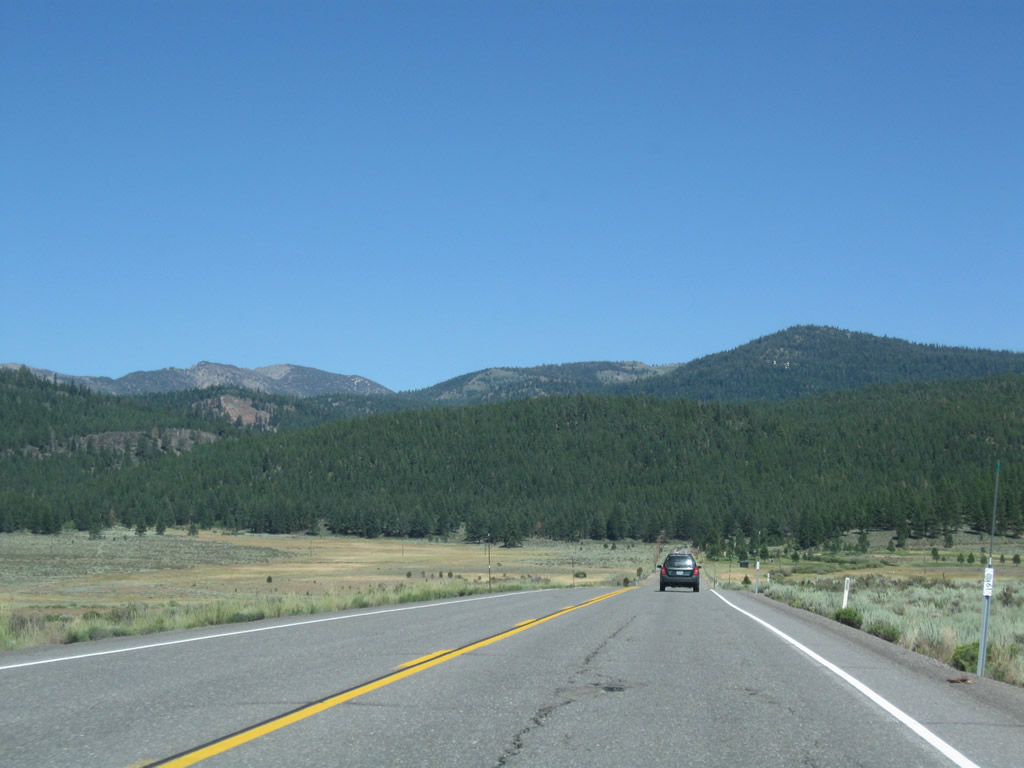
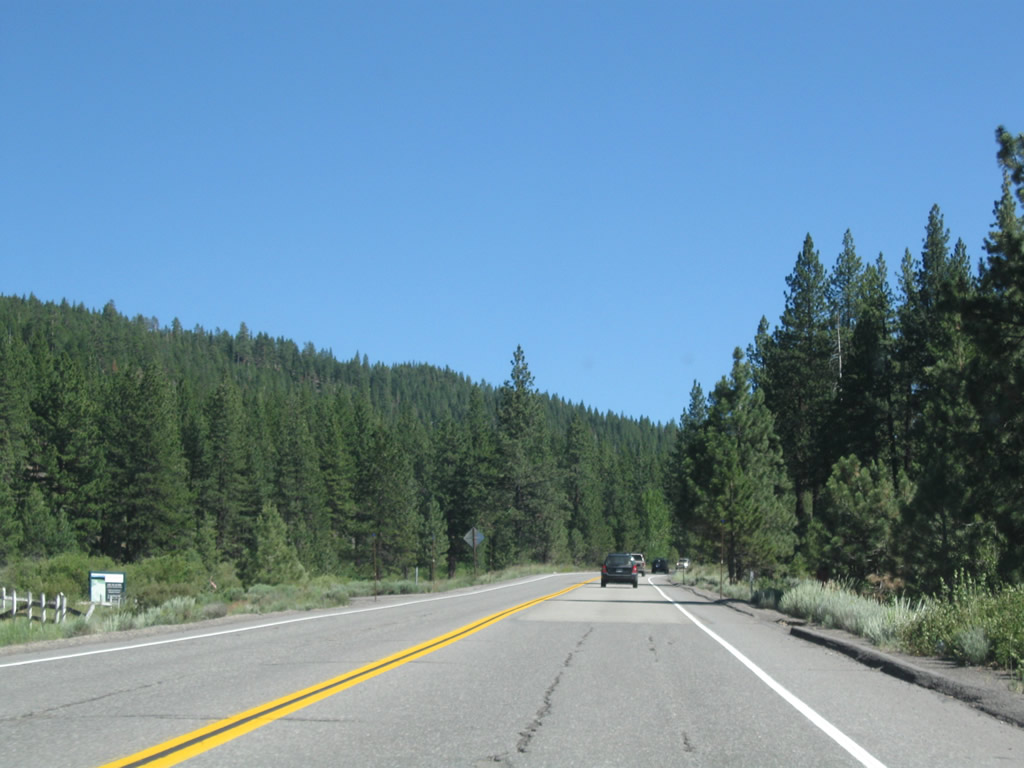
California 267 skirts the southern edge of the Truckee-Tahoe Airport and angles southeast toward Lake Tahoe.
07/21/09
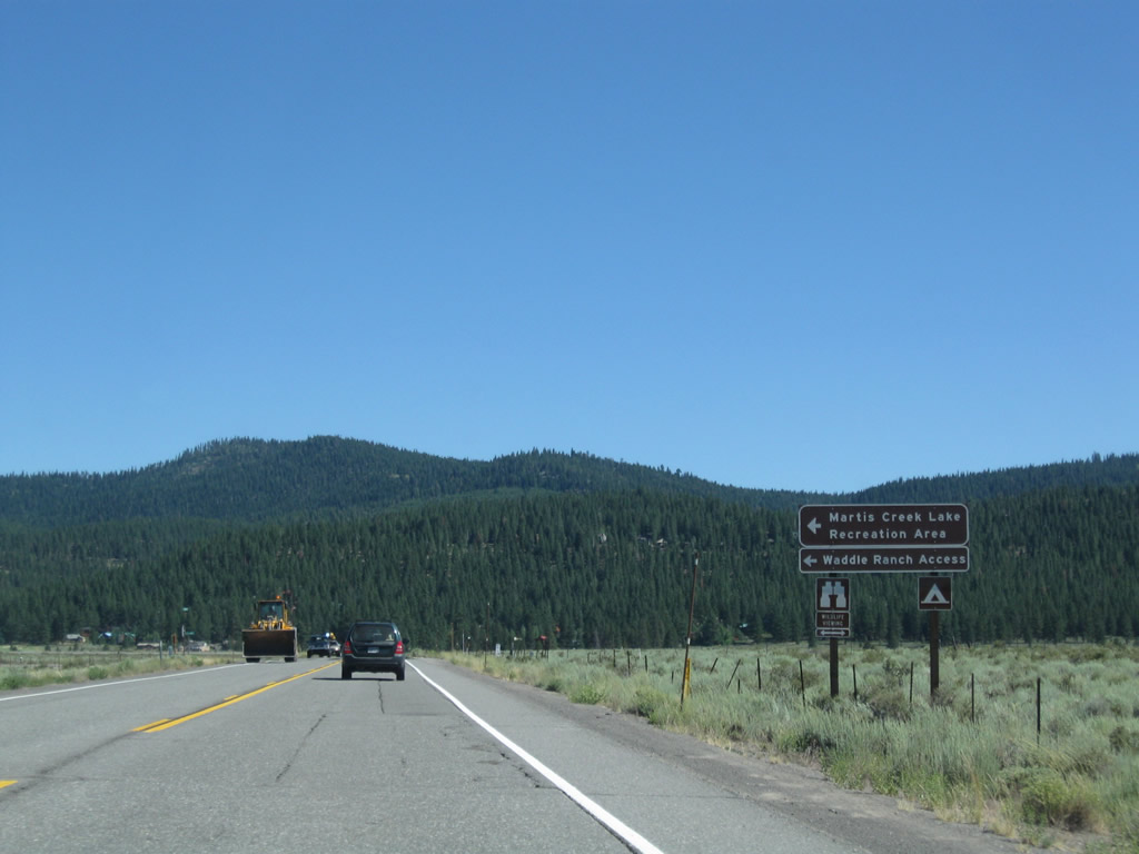
The next intersection is with Martis Creek Road to Martis Creek Lake Recreation Area and Waddle Ranch.
07/21/09
Heading south to Lake Tahoe, SR 267 ascends the Tahoe Rim and crosses at Brockway Summit (el. 7,179 feet). SR 267 crosses Martis Creek and gains elevation toward the summit.
07/21/09
The next intersection along southbound (eastbound) California 267 is with Northstar Drive.
07/21/09
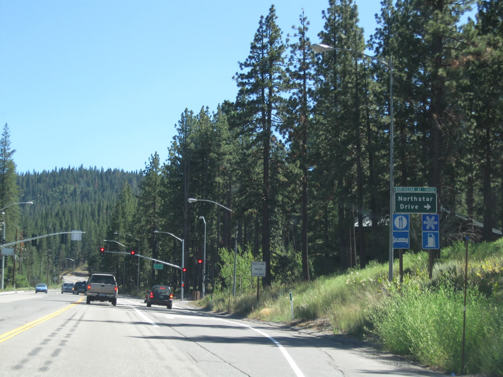
Turn west on Northstar Drive to the Northstar-at-Tahoe Ski Resort.
07/21/09
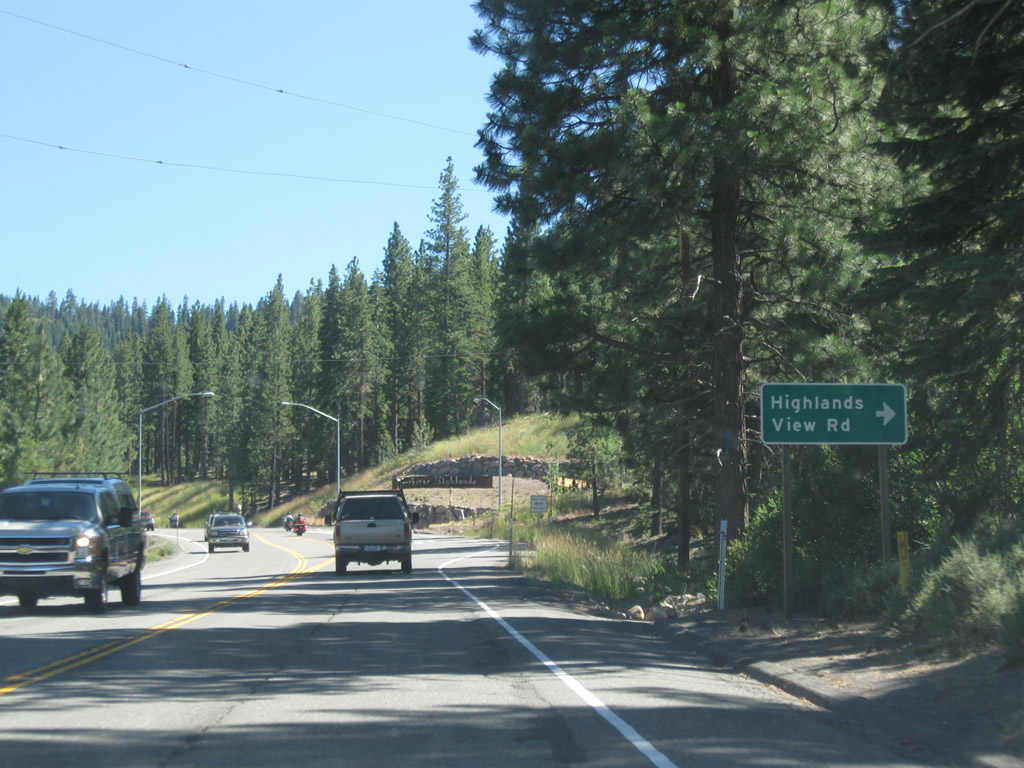
The next intersection is with Highlands View Road to Northstar Highlands residential and resort area. California 267 continues to gain elevation leading toward Brockway Summit.
07/21/09
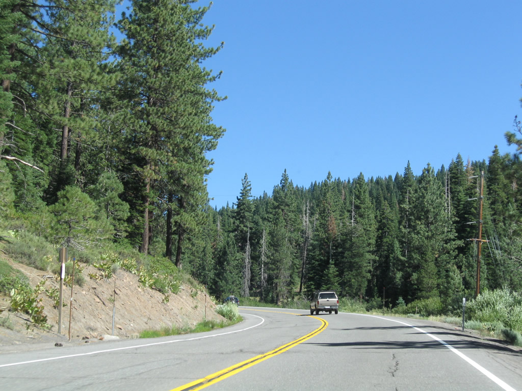
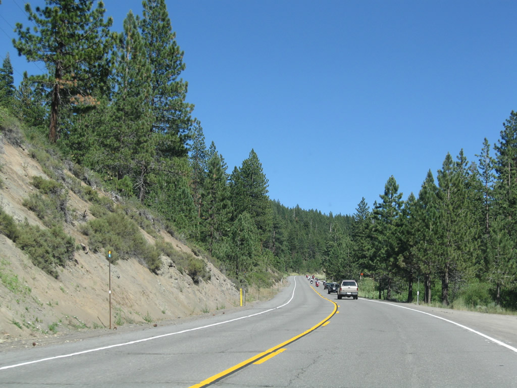
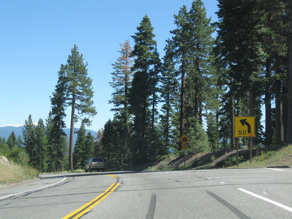
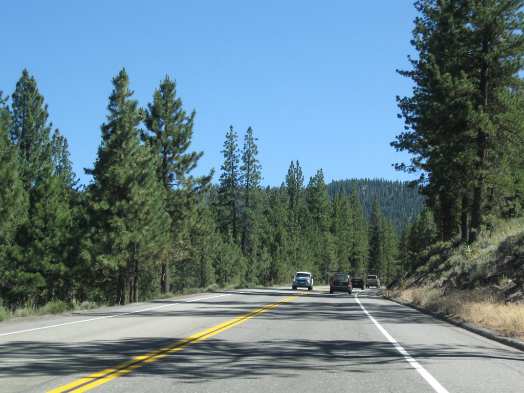
Climbing the rim to the summit, California 267 retains two lanes, one in each direction with limited sight distance at certain curves. Passing is limited.
07/21/09
Occasionally the road opens up enough to allow passing, but usually it's on a uphill grade on this side of Brockway Summit. Around here, California 267 is traveling almost due east to make the pass over the Tahoe Rim.
07/21/09
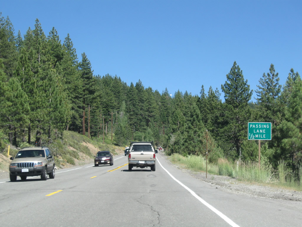
A passing lane is ahead (one-half mile).
07/21/09
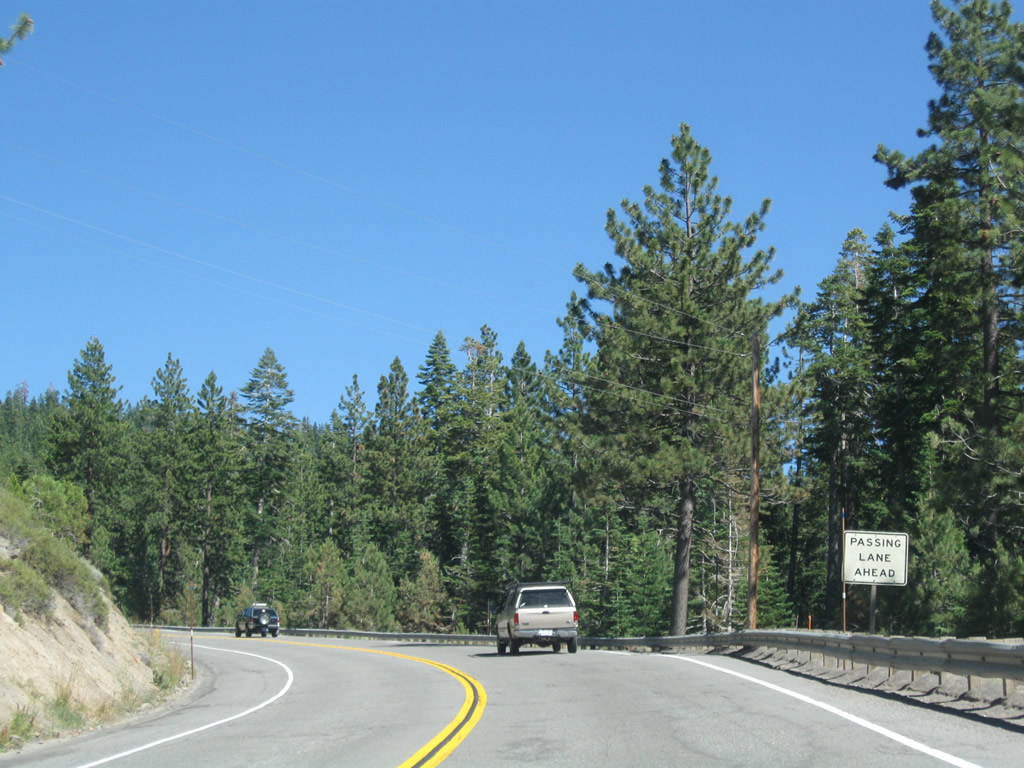
Coming around a blind corner, the passing lane begins. We're almost to the top of the summit.
07/21/09
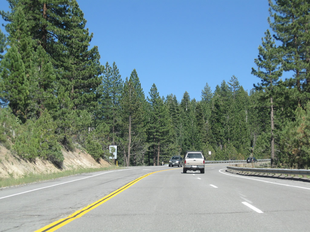
Two lanes continue east along California 267 while one lane travels west.
07/21/09
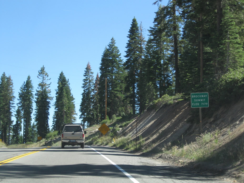
California 267 finally reaches the Tahoe Rim at Brockway Summit, elevation 7,179 feet.
07/21/09
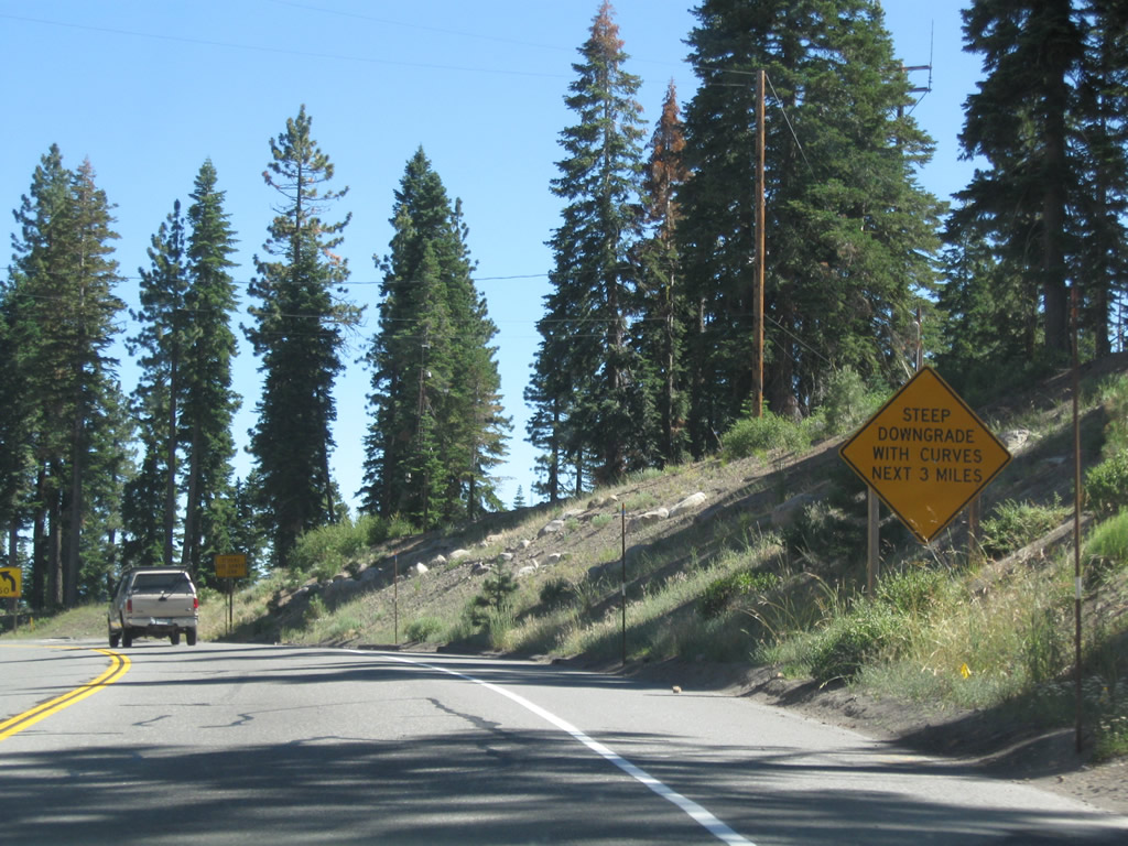
The drive along southeast California 267 from Brockway Summit down to Kings Beach is a steep one, with several significant curves over the course of three miles.
07/21/09
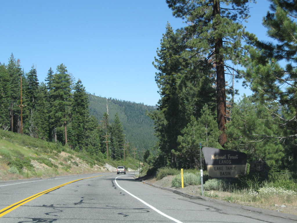
After Brockway Summit, eastbound California 267 meets Junction Forest Service Road 73/Mount Watson Road west to Mount Watson. Ahead, brief glimpses of Lake Tahoe can be seen through the trees.
07/21/09
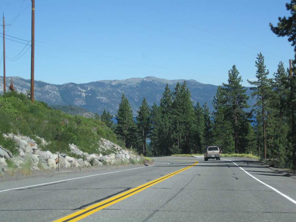
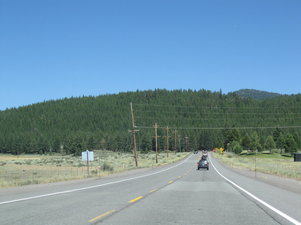
Descending into the Lake Tahoe Basin along SR 267 south. NV Energy (formerly Sierra Pacific) power lines generally parallel the state route. Truckee and the Lake Tahoe Basin receive their electrical power from NV Energy (Sierra Pacific) rather than Pacific Gas and Electric.
07/21/09
California 267 enters the unincorporated community of Kings Beach (population 4,037 as of the 2000 Census, elevation 6,250 feet).
07/21/09
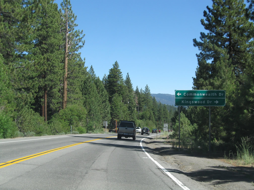
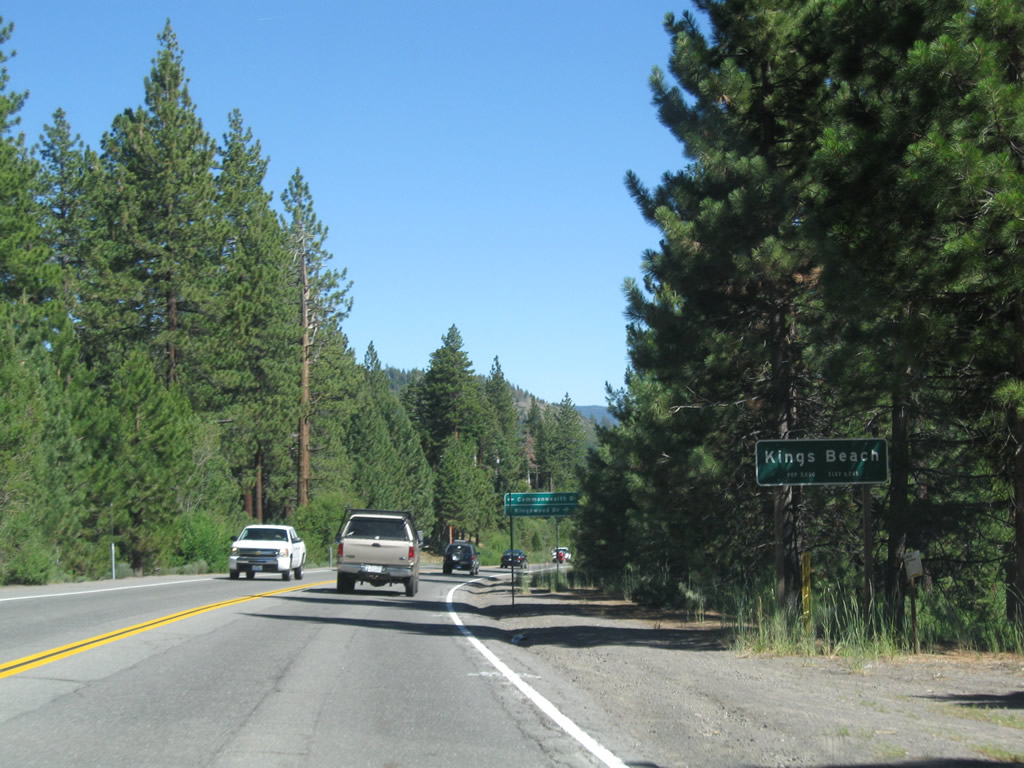
Southbound California 267 (North Shore Road) approaches an intersection with Commonwealth Drive and Kingswood Drive.
07/21/09
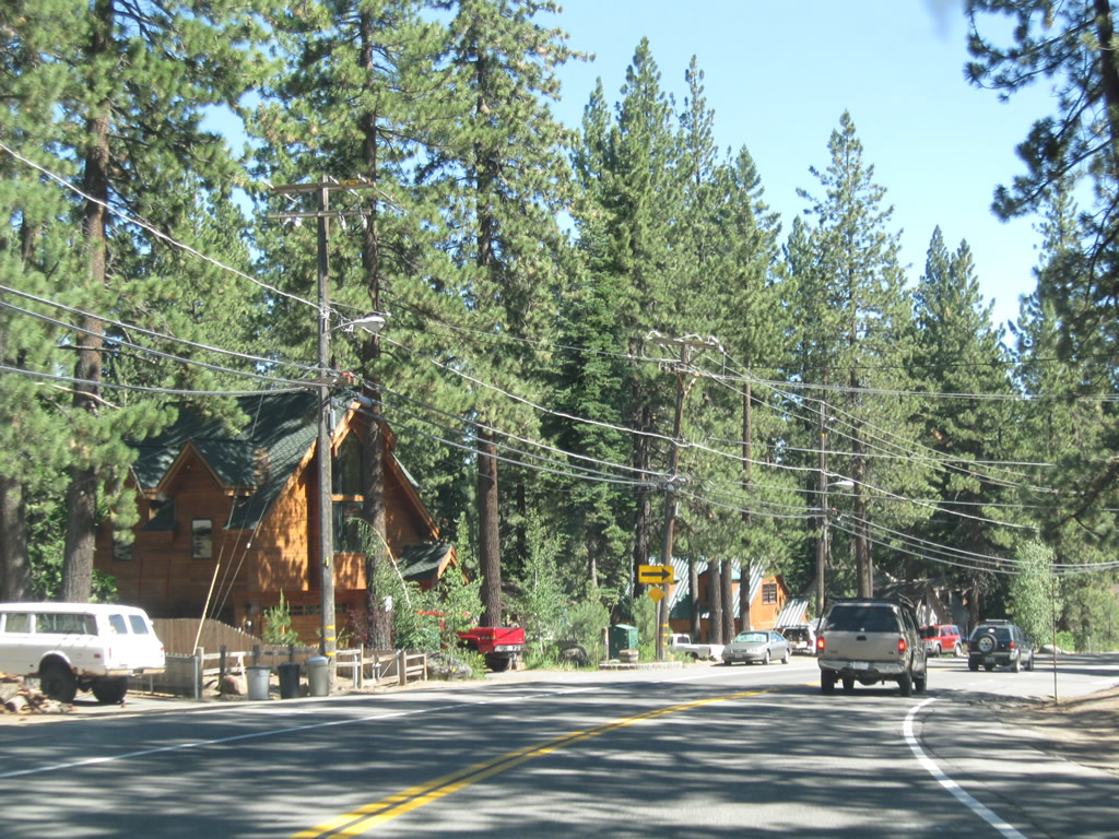
Homes and vacation rentals line the east side of California 267 (North Shore Road) southward into Kings Beach. The speed limit drops as California 267 approaches California 28 (North Tahoe Boulevard).
07/21/09
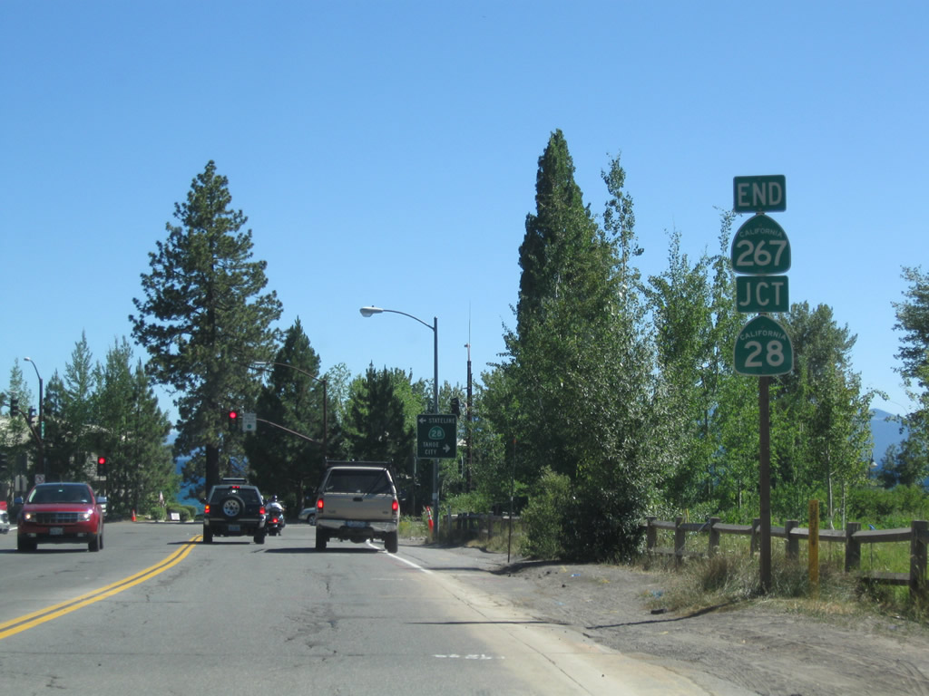
Southbound California 267 (North Shore Road) ends at California 28 (North Tahoe Boulevard) in Kings Beach. This intersection marks the southern terminus of California 267, and an end shield is posted. California 28 is part of the loop road that rings Lake Tahoe through California and Nevada.
07/21/09
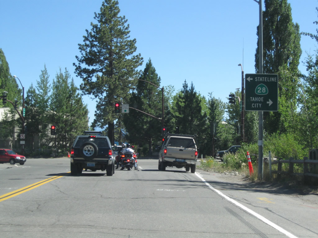
Turn left (east) on California 28 (North Tahoe Boulevard) to the California-Nevada state line at Crystal Bay. Nevada 28 continues from that point east to Incline Village, then turns south through Lake Tahoe-Nevada State Park to meet U.S. 50 at Spooner Junction. To the west, California 28 travels through Tahoe Vista and Carnelian Bay to its junction with California 89 in Tahoe City.
07/21/09
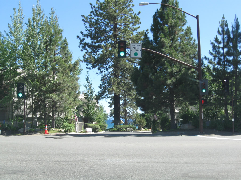
Motorists are afforded a brief glimpse of the famously blue waters of Lake Tahoe before turning east or west on California 28 (North Tahoe Boulevard).
07/21/09
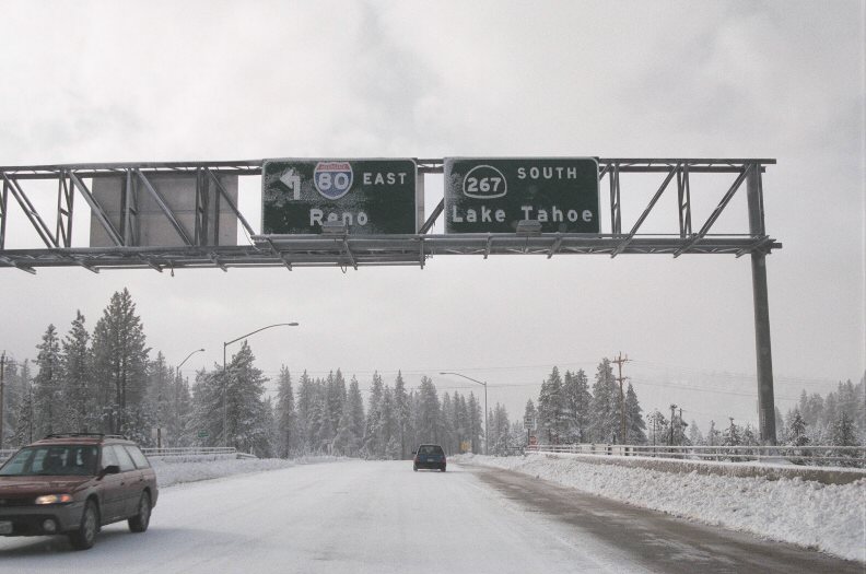
This signage was in place prior to the construction of the Carlson Bypass. SR 267 traveled south from I-80 into Downtown Truckee, then turned south via Brockway Road. Although not shown on these signs, this was previously the beginning of westbound Business Loop I-80, which was decommissioned with the completion of the Carlson Bypass. The business route lined Old U.S. 40 in Truckee west toward Donner Lake. A bypass of SR 267, which connects with the north shore of Lake Tahoe, alleviated some traffic issues in this area.
January 2000
Photo Credits:
- Andy Field: 07/21/09
- Jeff Royston: January 2000
Connect with:
Page Updated Saturday October 03, 2009.