
County Road 41/541


County Road 41 runs in Pasco County between Zephyrhills and the Hernando County line south of Spring Lake. The route becomes County Road 541 north of the county border to U.S. 98/SR 50 east of Brooksville.
Paralleling U.S. 301 or U.S. 98/301, the southern section of CR 41 (Fort King Road) runs 8.67 miles north from Zephyrhills to Dade City. A short implied overlap with SR 52 links the southern leg with the north section.
The northern segment of CR 41 continues 10.00 miles west from SR 52 in Dade City to Blanton, Interstate 75 at Exit 293 and the Hernando County line at Dixie. CR 541 extends the route 6.12 miles north along Spring Lake Highway to U.S. 98/SR 50 (Cortez Boulevard) near the Hill 'N Dale community.
County Road 41/541 Guides
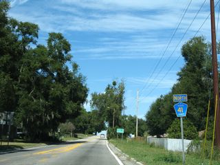
CR 41/541 North - 26 photos
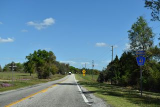
CR 41/541 South - 41 photos
Connect with:
Page Updated Thursday April 16, 2026.