
Osceola County Road 535 - Ham Brown Road
County Road 535 along Ham Brown Road runs south from U.S. 17/92 at Broad Street and the community of Campbell toward Poinciana. Ham Brown Road originally shifted a quarter mile west toward the Broadmoor manufactured home community. The road was realigned eastward along a more direct route, with the former route renamed Cattle Drive. GIS Data from the Florida Department of Transportation (FDOT) inventories both roads as part of CR 535.
Ham Brown Road extends south by a Lowe's Distribution Center and several subdivisions to Reaves Road near Reedy Creek Swamp. Unsigned CR 535 turns east along Reeves Road to CR 531 (Pleasant Hill Road) near Mac Overstreet Park while Reaves Road west links with S Poinciana Boulevard.
 South
South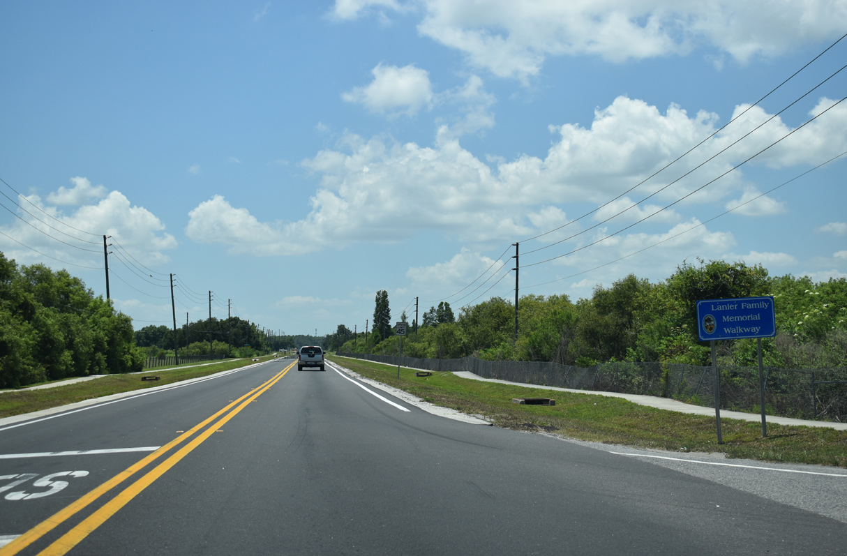
CR 531 (Ham Brown Road) leads south away from U.S. 17/92 (Orange Blossom Trail) and Broad Street at Campbell along side the Lanier Family Memorial Walkway.
05/30/19
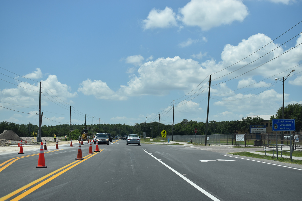
Storey Creek Boulevard intersects Ham Brown Road from the Storey Creek development across from Horizon Middle School.
05/30/19
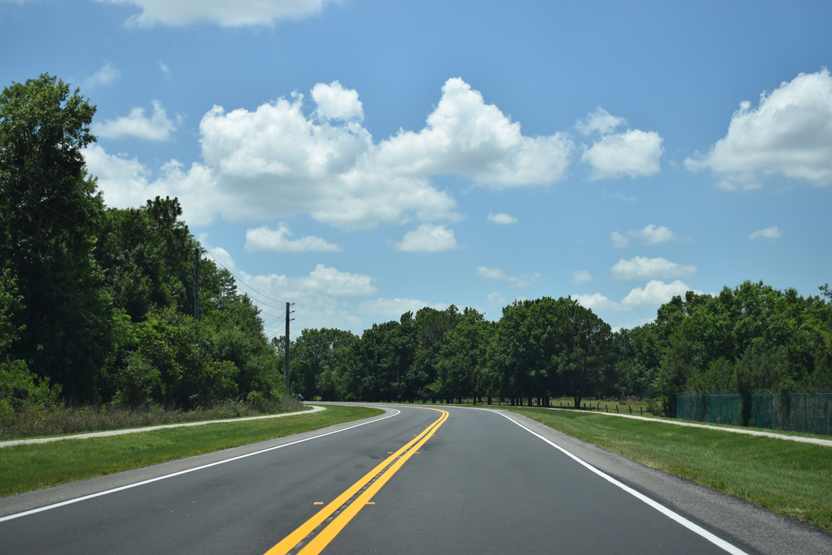
The realignment of Ham Brown Road navigates through an S-curve south of Desert Rose Avenue to the Sedona development.
05/30/19
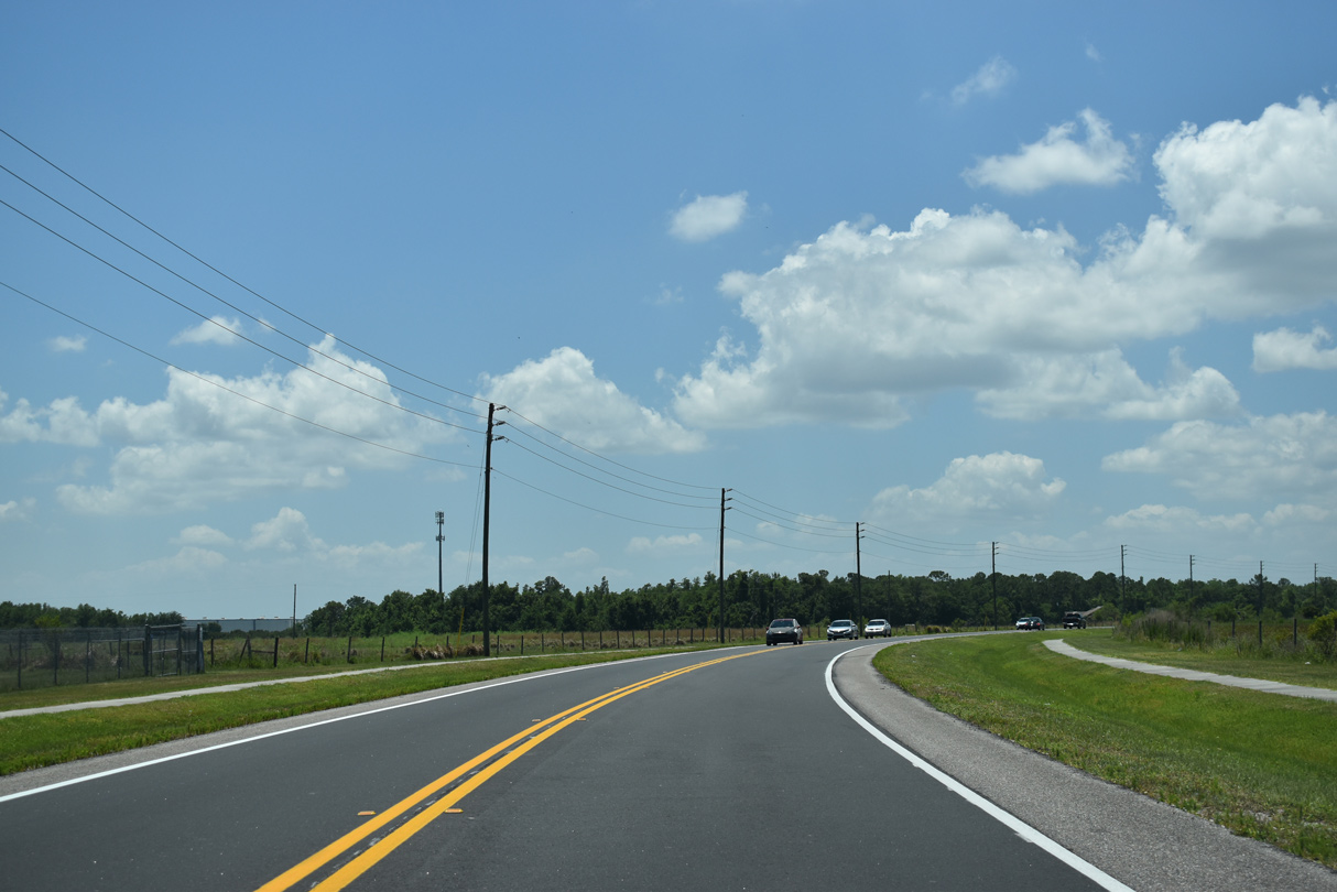
The former route of CR 531 along Cattle Drive returns to Ham Brown Road south along this S-curve.
05/30/19
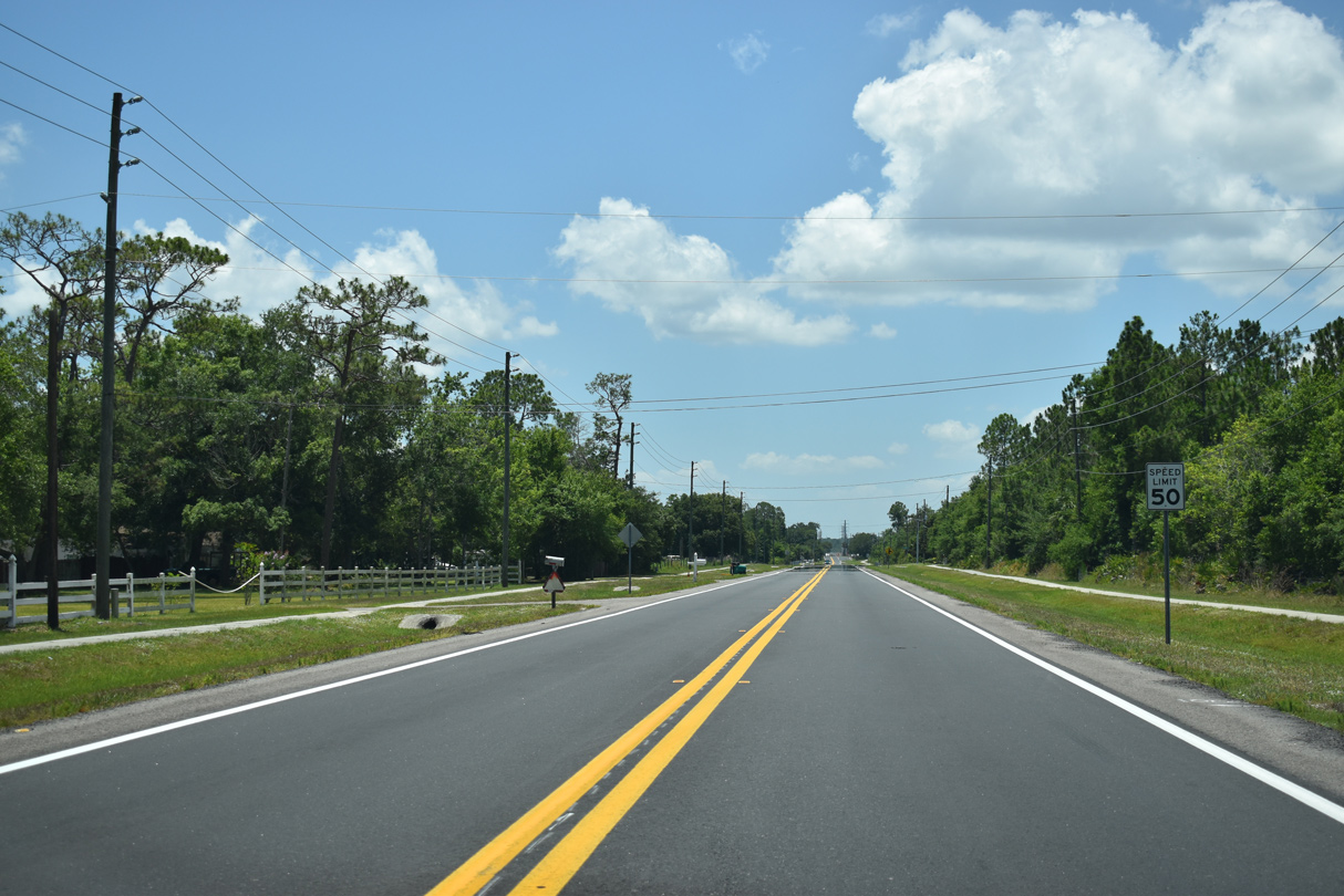
Ham Brown Road (CR 531) advances south from Lizzia Brown Road to Crestone Road and The Reserve at Doral Woods subdivision.
05/30/19
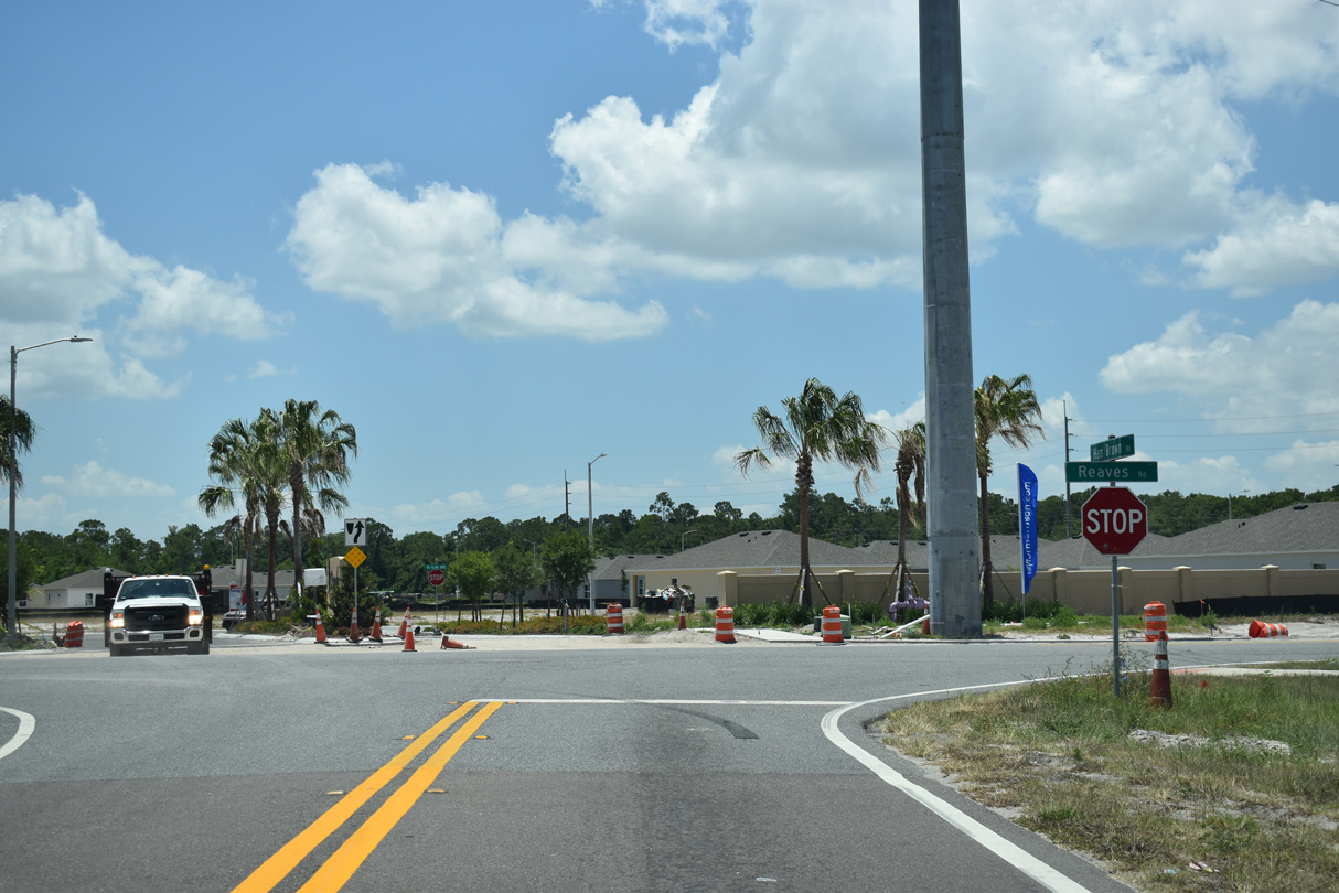
CR 531 makes an unmarked turn from the south end of Ham Brown Road onto Reaves Road east at the Reedy Reserve development.
05/30/19
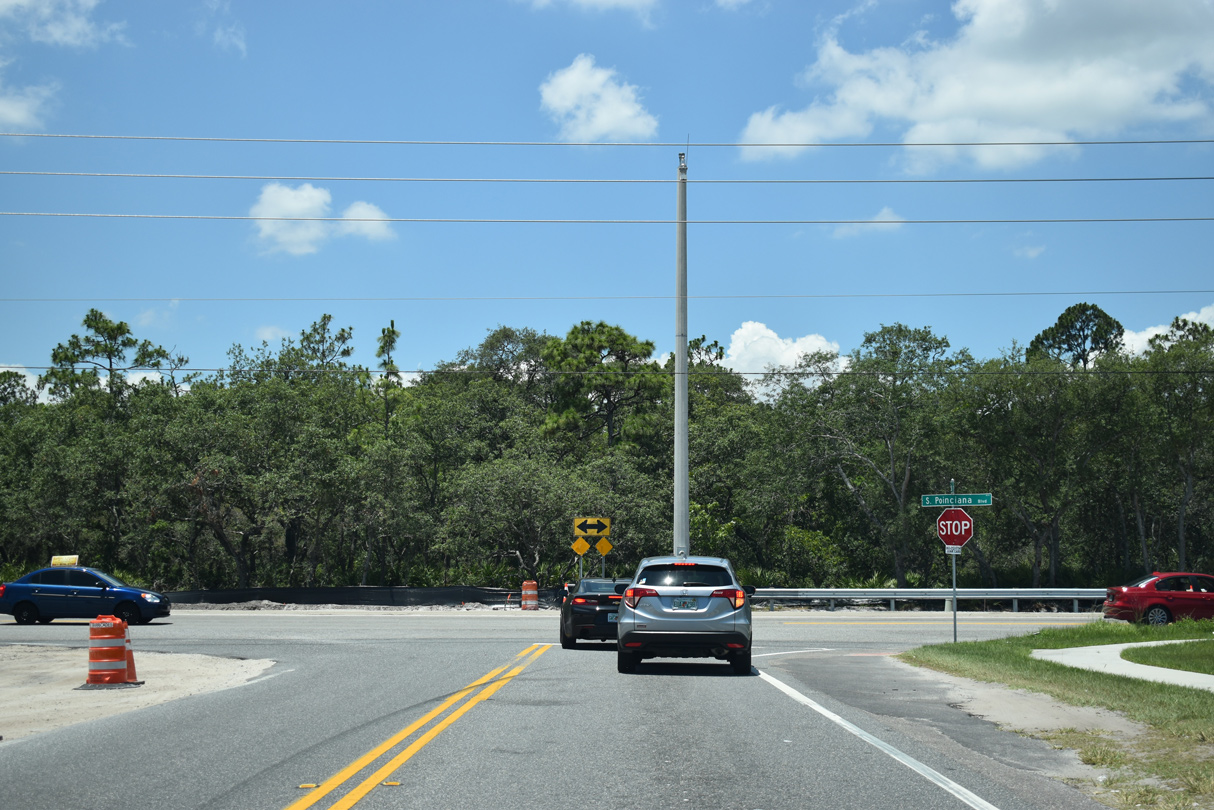
Reaves Road west links Ham Brown Road with nearby S Poinciana Boulevard.
05/30/19
Photo Credits:
- ABRoads: 05/30/19
Connect with:
Page Updated Thursday December 09, 2021.