
State Route 4 East - Stanton to Wilmington


Stanton Christiana Road emerges from SR 4/7 as the old alignment for the state route pair to the east. The local road serves Stanton Industrial Park.
12/27/18
Confirming markers for SR 4/7 appear ahead of the AMTRAK Northeast Corridor bridge.
12/27/18
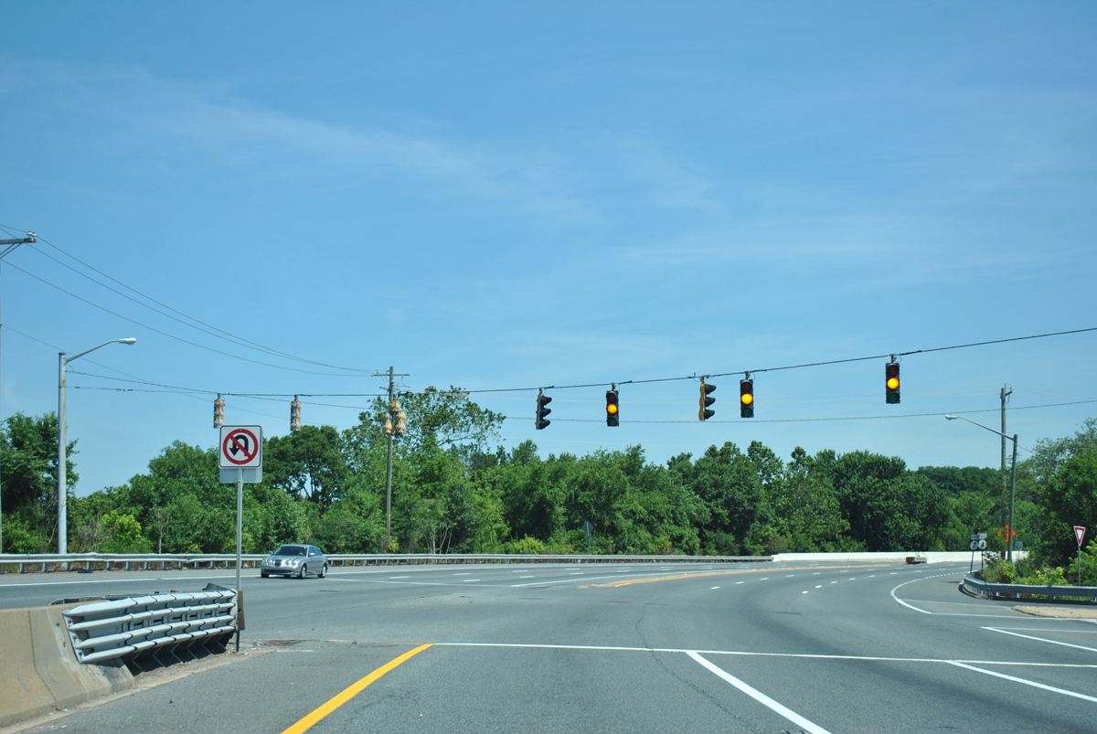
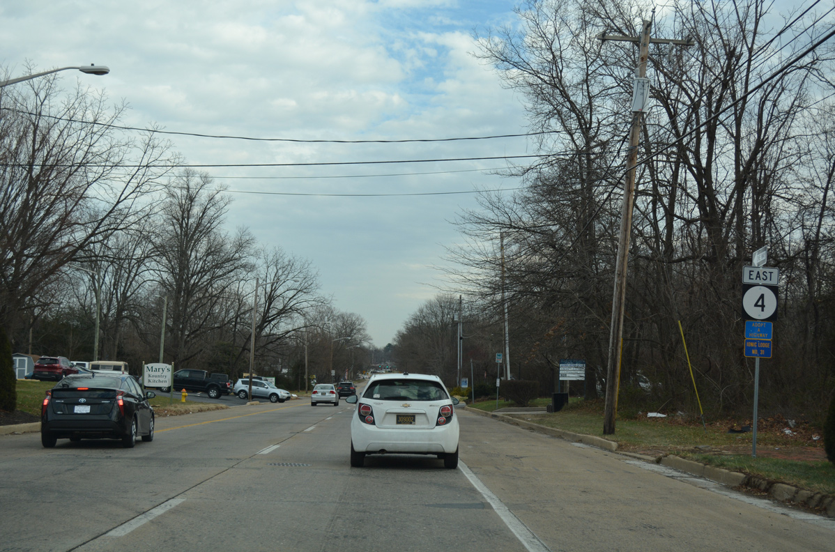
An access road links SR 4/7 with the north end of Stanton Christiana Road at this signal.
06/16/12

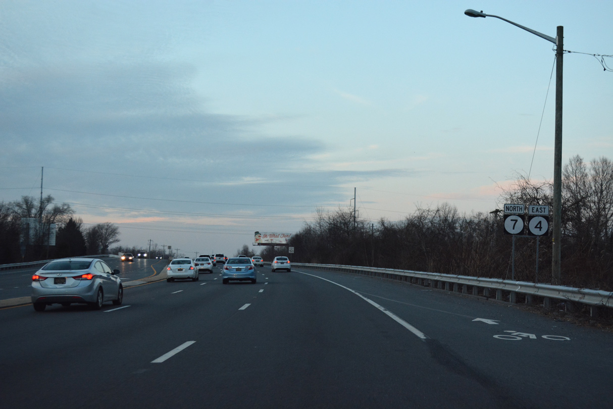
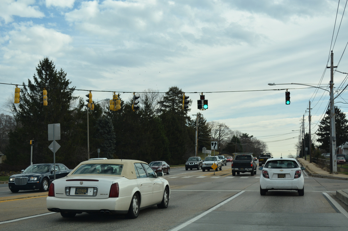
Curving east by Delaware Park, the controlled access arterial along SR 4/7 maintains six overall lanes.
12/22/20
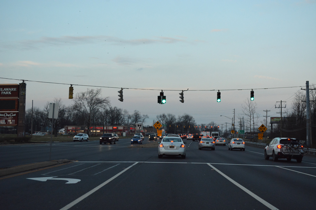
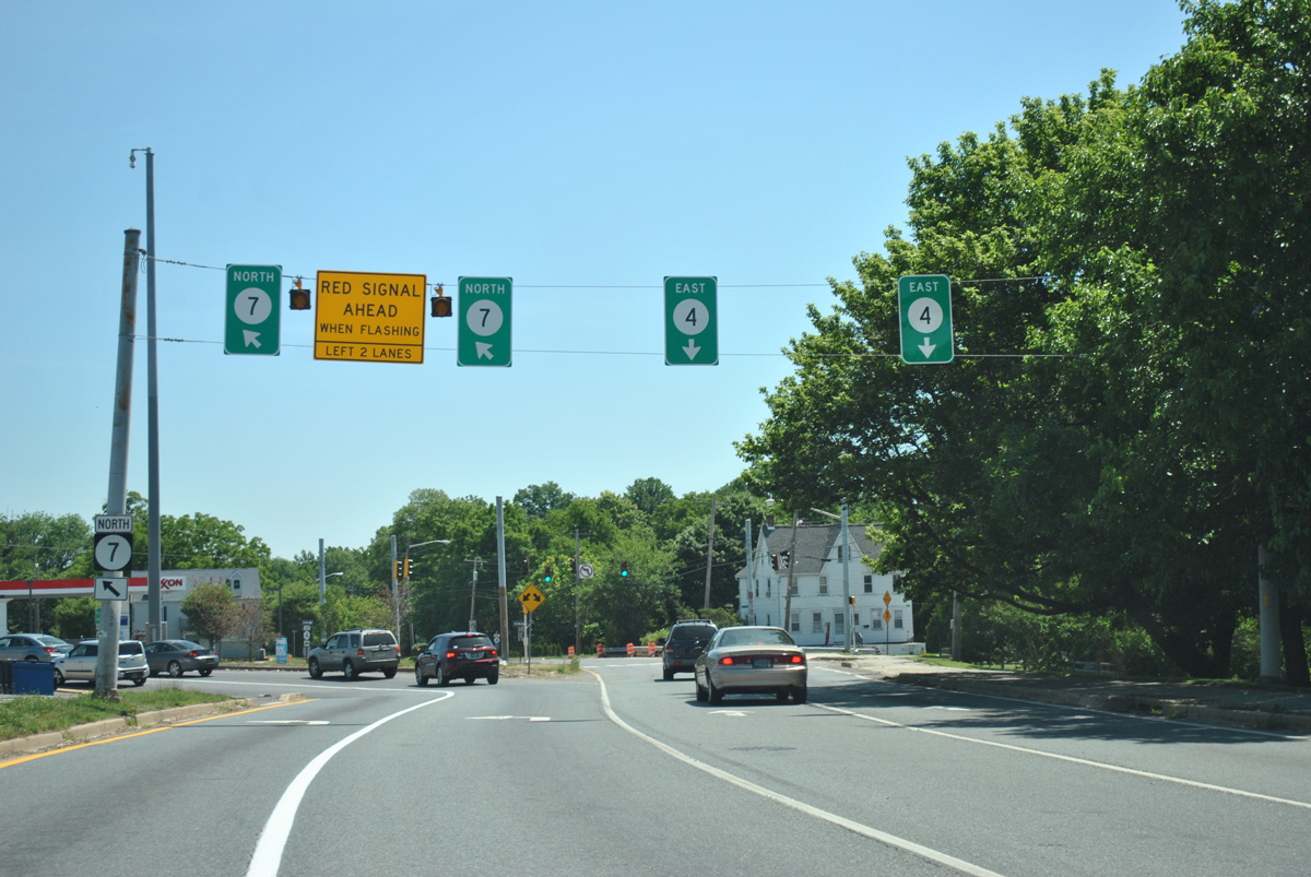
Delaware Park Boulevard returns to SR 4 from Delaware Park Racetrack and Casino at SR 7 north of White Clay Creek.
12/27/18
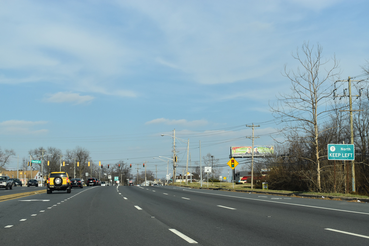
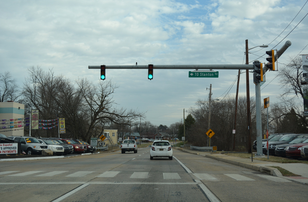
Entering unincorporated Stanton, SR 4/7 transition to Main Street ahead of their separation at a wye intersection with Limestone Road. Telegraph Road intersects the six lane arterial next.
12/30/18
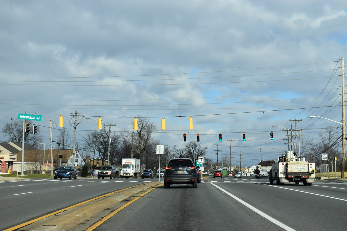
Telegraph Road (Rd 338) arcs northwest from SR 4/7 to St. James Church Road and Old Capitol Trail at the Albion and Bretton Woods communities. Old Capitol Trail (Rd 20) provides part of a connection to SR 2 (Kirkwood Highway) west.
12/22/20
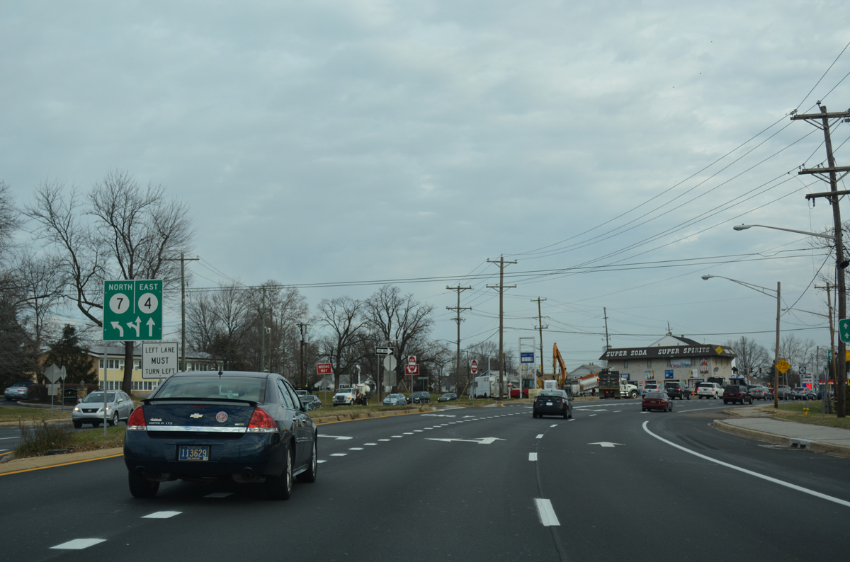
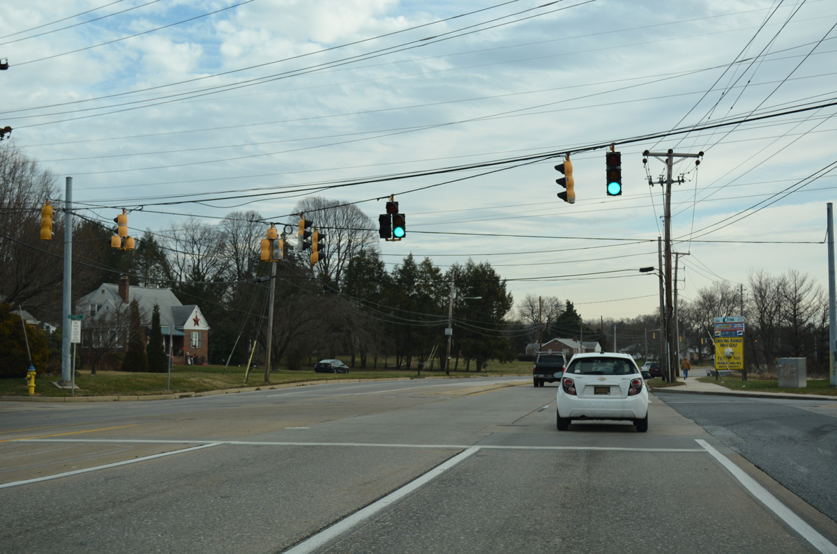
SR 4 partitions into the couplet of Mitch Road east and Main Street west beyond Telegraph Road. SR 7 turns north at the subsequent intersection to follow Limestone Road north from Stanton.
12/22/16
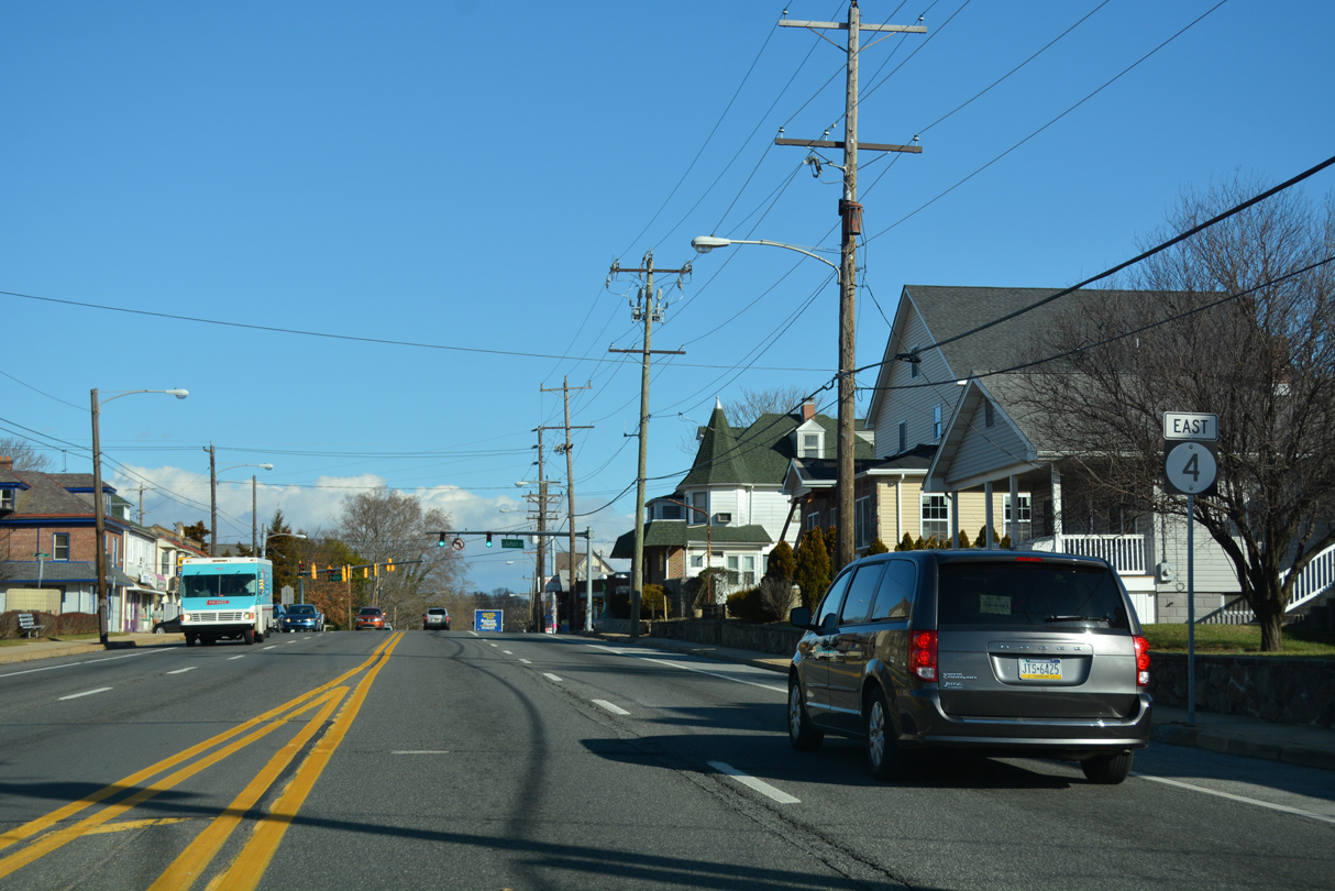
Two lanes continue east along SR 4 (Mitch Road) to Newport and two lanes join Limestone Road north to SR 2 (Kirkwood Highway) and the Pike Creek Valley. SR 7 ends at the state line south of Kaolin, Pennsylvania. SR 4 extends east to SR 48 in Wilmington
06/16/12
 East
East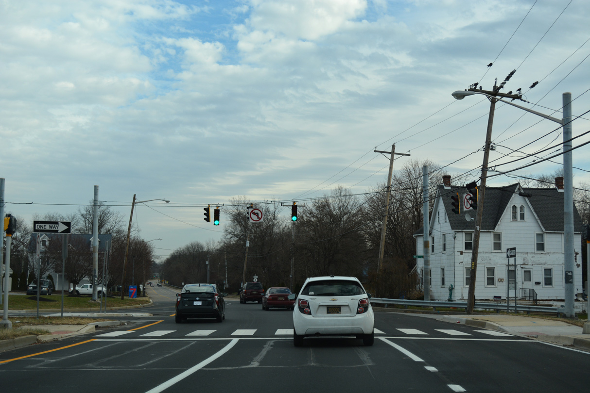
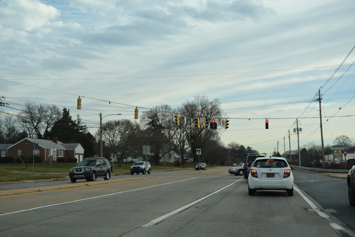
Drivers from Limestone Road south turn onto SR 4 (Mitch Road) east at a signal with Mill Road south.
12/22/16
Mitch Road east and parallel Newport Pike / Main Street west retain a concrete surface. Both roadways were refurbished in 2005.
12/22/16
Stanton Road heads northeast from SR 4 (Mitch Road) to intersect Old Capitol Trail and Greenbank Road in Marshallton.
12/22/16
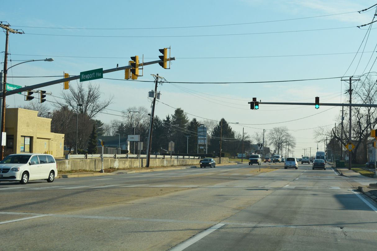
The split directions of SR 4 converge east of Red Clay Creek into a four lane arterial (Newport Pike). The ensuing signal eastbound joins Newport Pike with First State Boulevard south to First State Industrial Park and Rothwell Drive north into Glen Bernie Estates.
12/22/16
Glen Bernie Drive meets SR 4 across from First State Plaza shopping center.
12/22/16
SR 4 (Newport Pike) east crosses Hershey Run ahead of the traffic light at MacArthur Drive south to Pleasant Hill Estates and Hershey Run Drive north.
12/22/16
A staggered intersection connects Newport Pike with State Street north to Tuxedo Park and Westmont Avenue south to Silview.
12/27/18
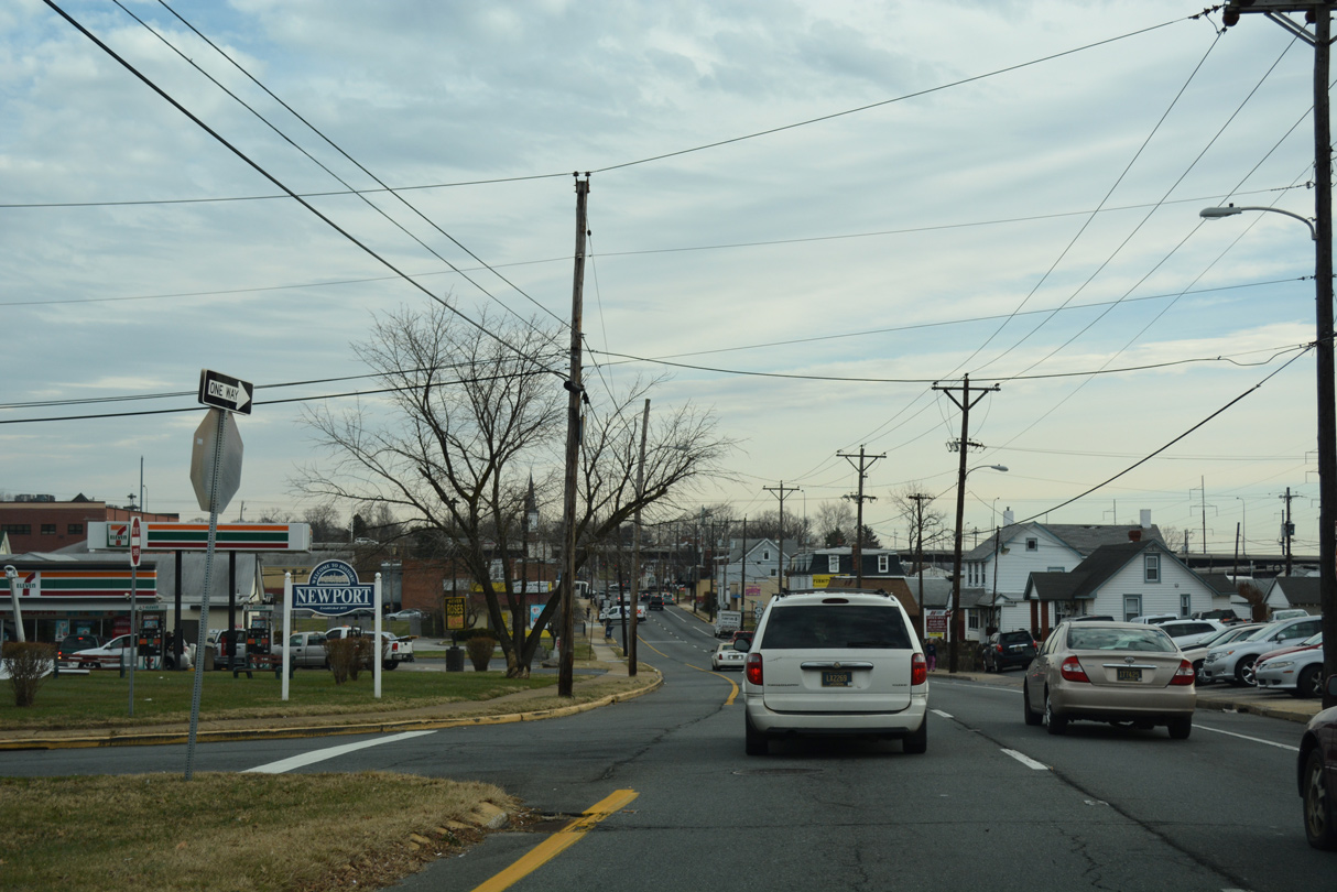
SR 4 again splits into a one way couplet through the town of Newport.
12/22/16
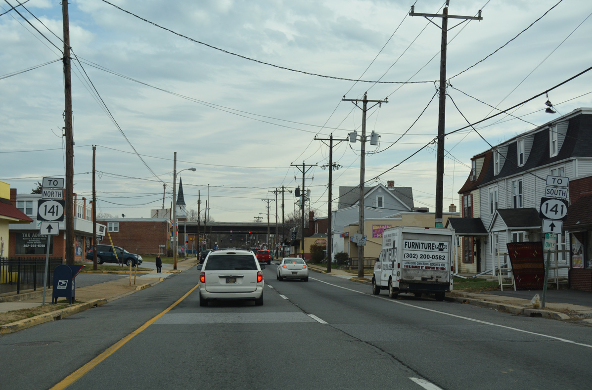
Eastbound traffic along SR 4 follows Market Street to Augustine Street. Westbound travels one block to the north along Justis Street to Richards Drive. Pictured here is the approach to SR 141 (Newport Freeway).
12/22/16
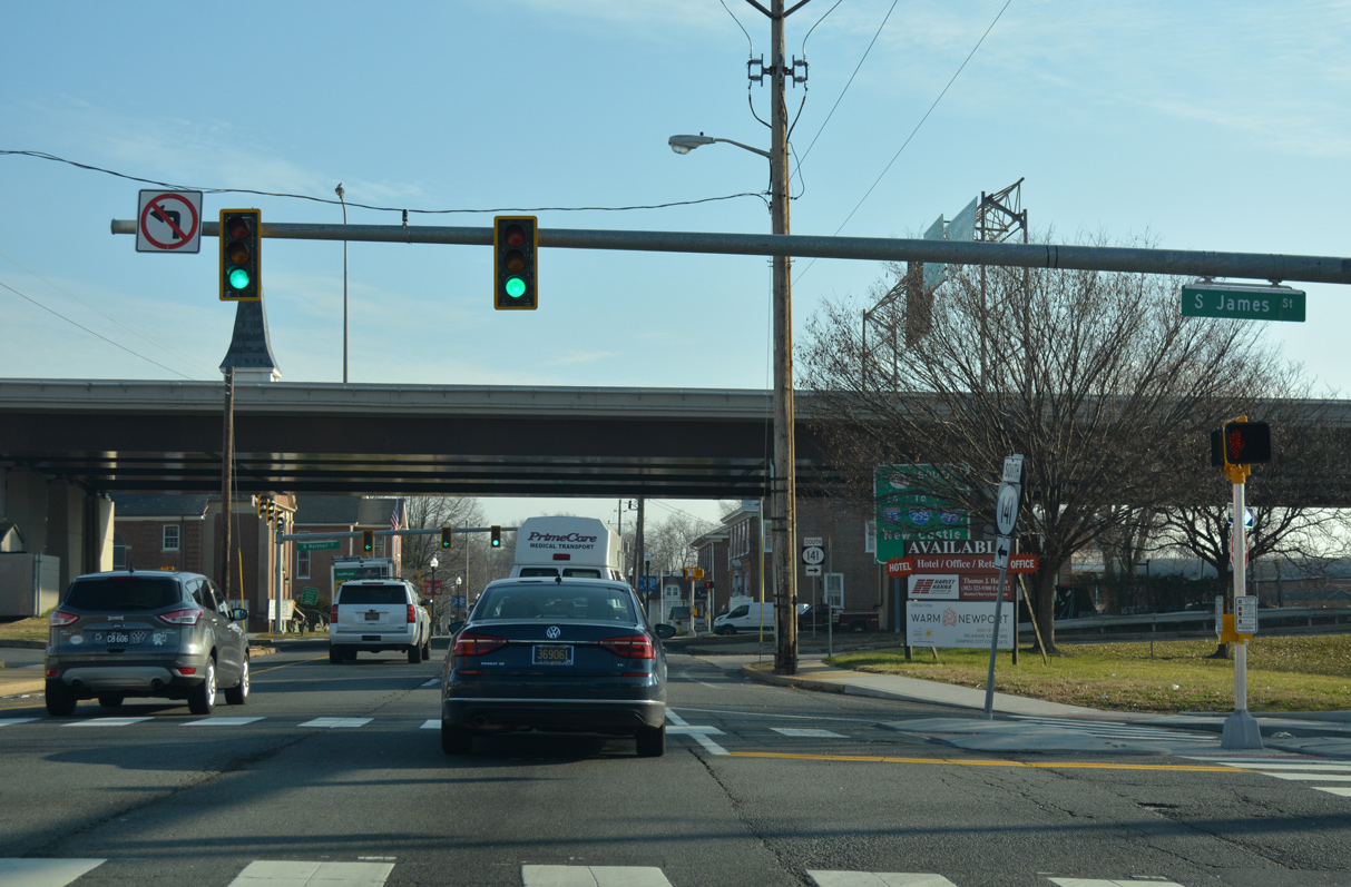
SR 141 elevates above the Downtown Newport street grid between James Street south and Marshall Street north. James Street forms a frontage road to the freeway southward across the Christina River to an industrial area and Old Airport Road.
12/27/18
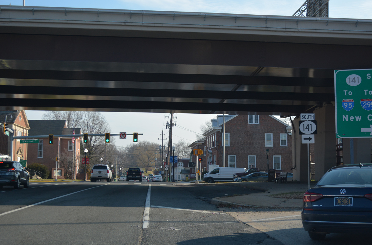
Since restored, the guide sign for the southbound on-ramp to SR 141 was knocked over in late 2016. This shield assembly was added in its place.
12/27/18
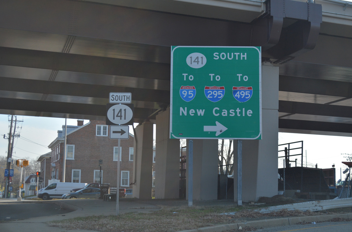
The entrance ramp for SR 141 south to I-95 and I-295 departs from SR 4 (Market Street) east. SR 141 follows Basin Road, a four lane arterial, south from I-295 to SR 9/273 in New Castle.
12/27/18
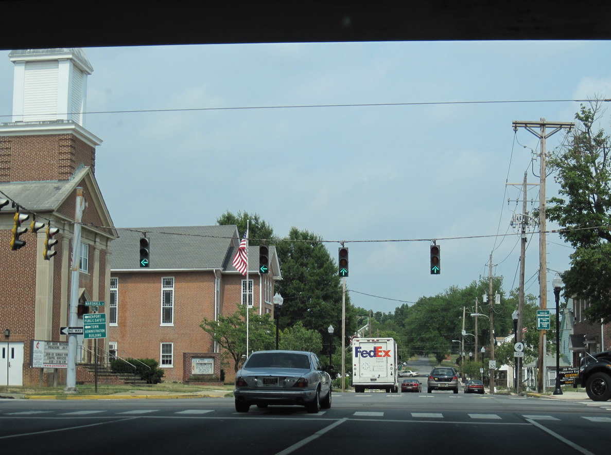
The northbound off-ramp from SR 141 to Newport forms the east side frontage road (Marshall Street) to the Newport Freeway.
07/08/10
Confirming marker posted after SR 141 and ahead of the SR 4 east split with Market Street.
12/30/16
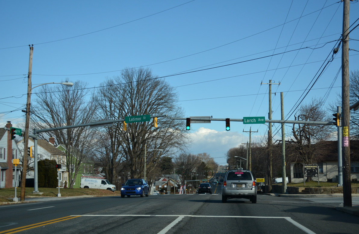
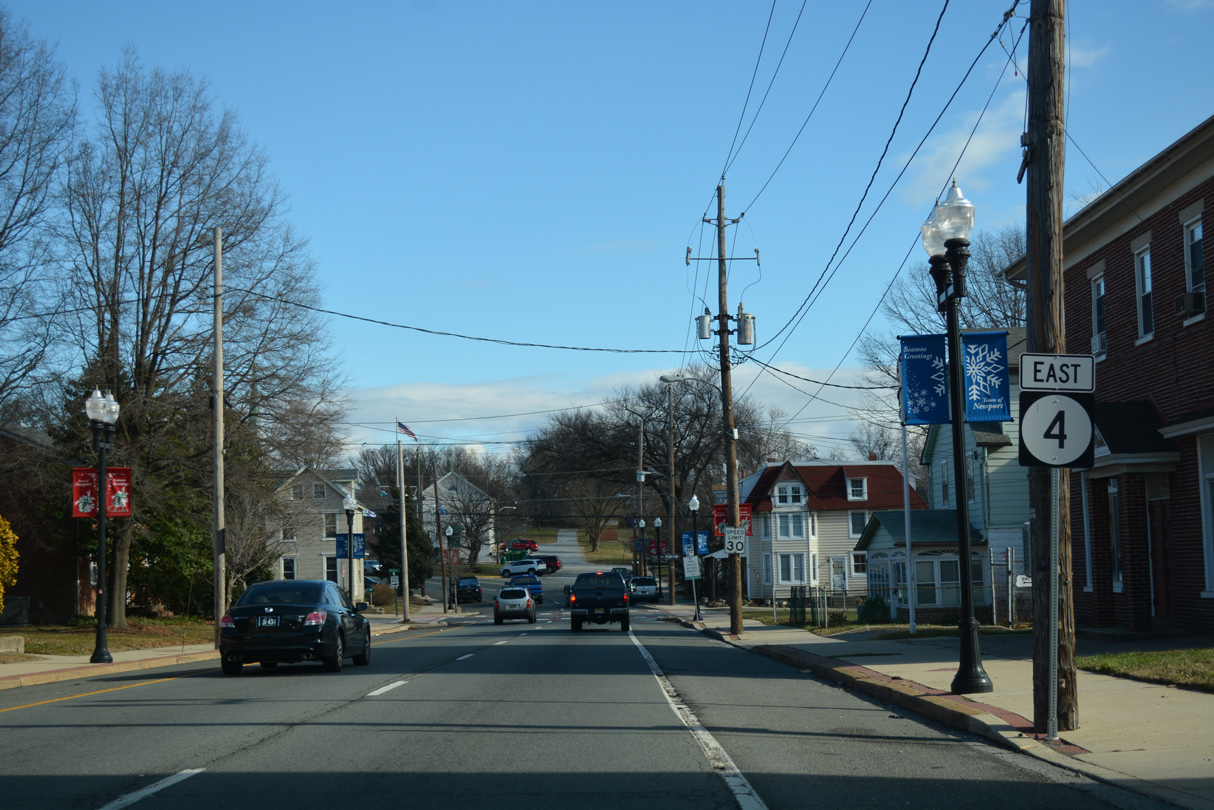
SR 4 advances east as a four lane boulevard (Newport Pike) toward older suburban areas between Newport and Wilmington. Latimer Street south and Larch Avenue north come together at the first in a series of signals.
12/30/16
This reassurance marker east of Latimer Avenue was removed due to sidewalk work.
07/08/10
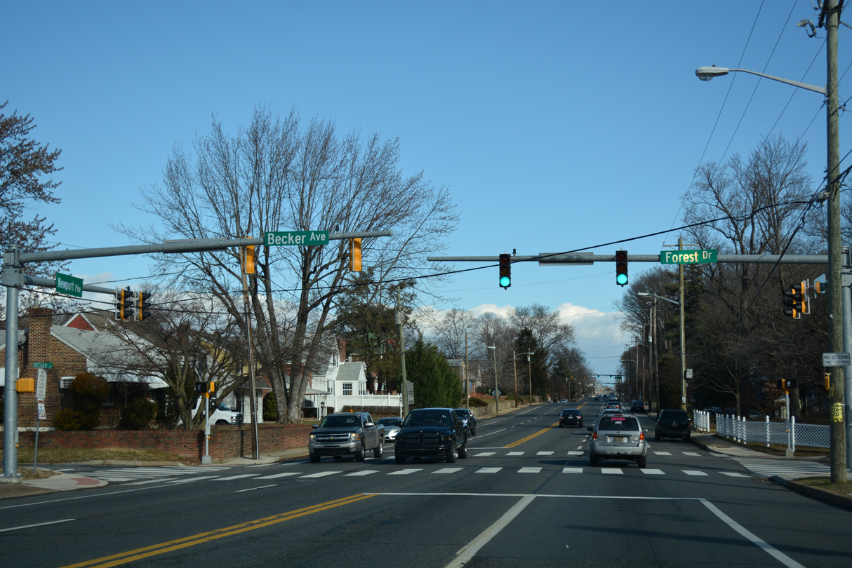
Becker Avenue angles northwest from SR 4 (Newport Pike) into the Woodcrest subdivision. Forest Drive ties in from Forest Brook Glen to the south.
12/30/16
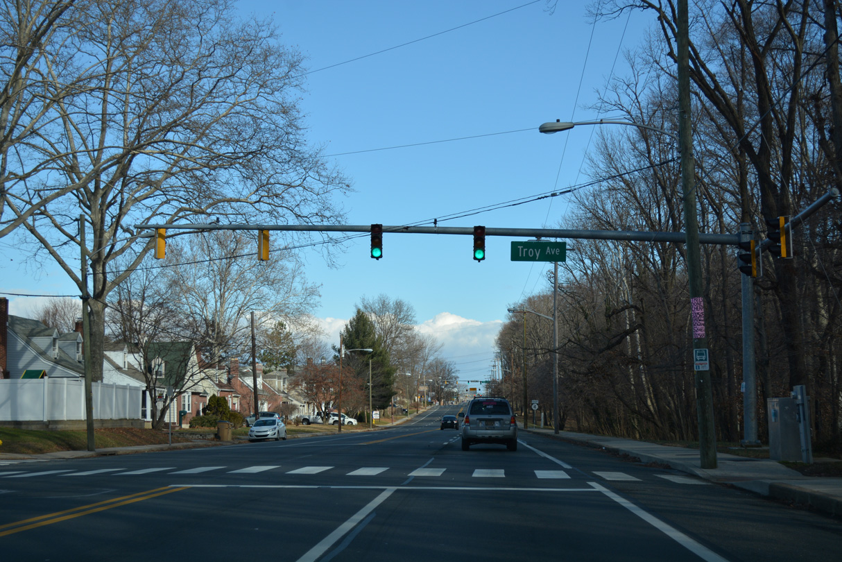
Serving the nearby Conrad Schools of Science, Troy Avenue follows from the succeeding eastbound signal to Jackson Avenue in Woodcrest.
12/30/16
Banning Park fronts the south side of SR 4 (Newport Pike) from ahead of Troy Avenue to Newport Pike.
12/30/16
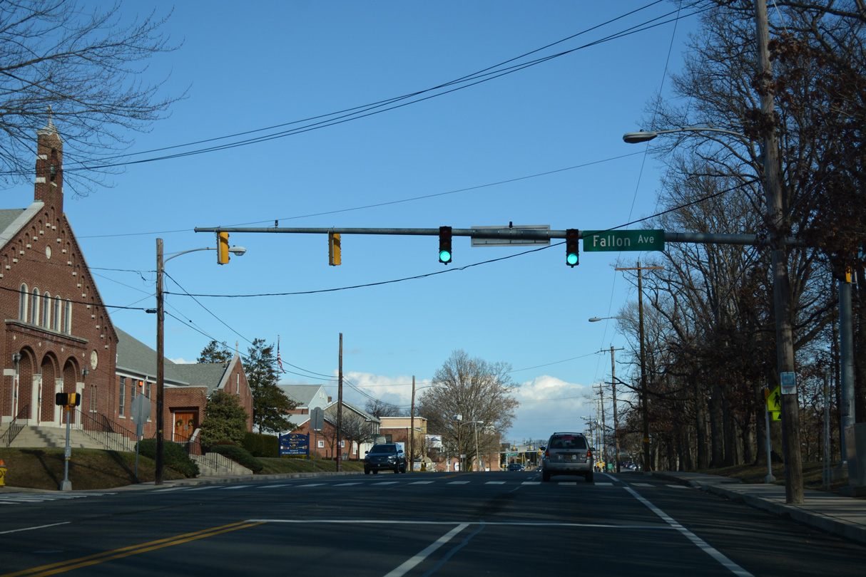
Fallon Avenue stems west from Newport Pike at the last Woodcrest traffic light.
12/30/16
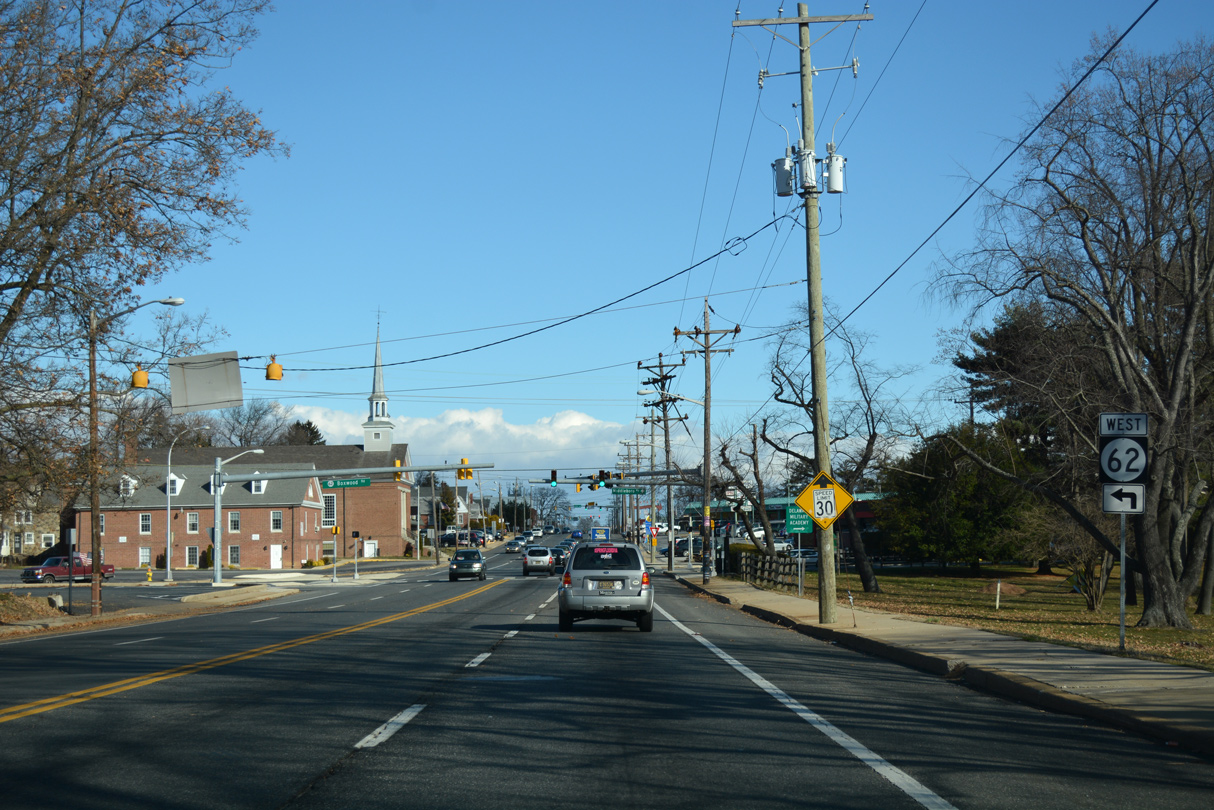
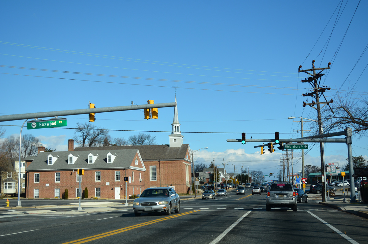
SR 62 lines Boxwood Road west from SR 4 (Newport Pike) to the shuttered GM Plant, the Newport Freeway and Newport Gap Pike at Belvedere. Middleboro Road extends the route east to Banning Park.
12/30/16
SR 62 comprises a local route northwest to Prices Corner and SR 2 (Kirkwood Highway) at SR 41.
12/30/16
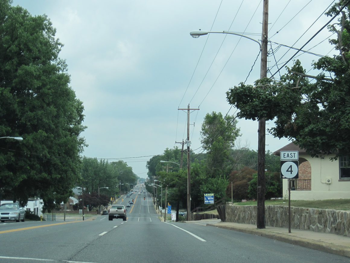
The confirming marker for SR 4 east of Boxwood Road was replaced with a welcome sign for Hayden Park and Idela after 2007. SR 4 is known as Maryland Avenue eastward to Wilmington.
05/01/04
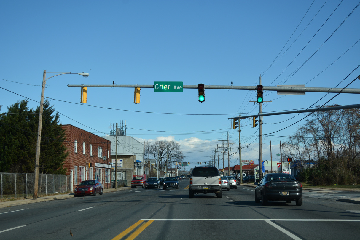
Grier Avenue is a residential street through the Idela subdivision east to Mary Ann Drive. The signal with SR 4 serves nearby Richardson Park Elementary.
12/30/16
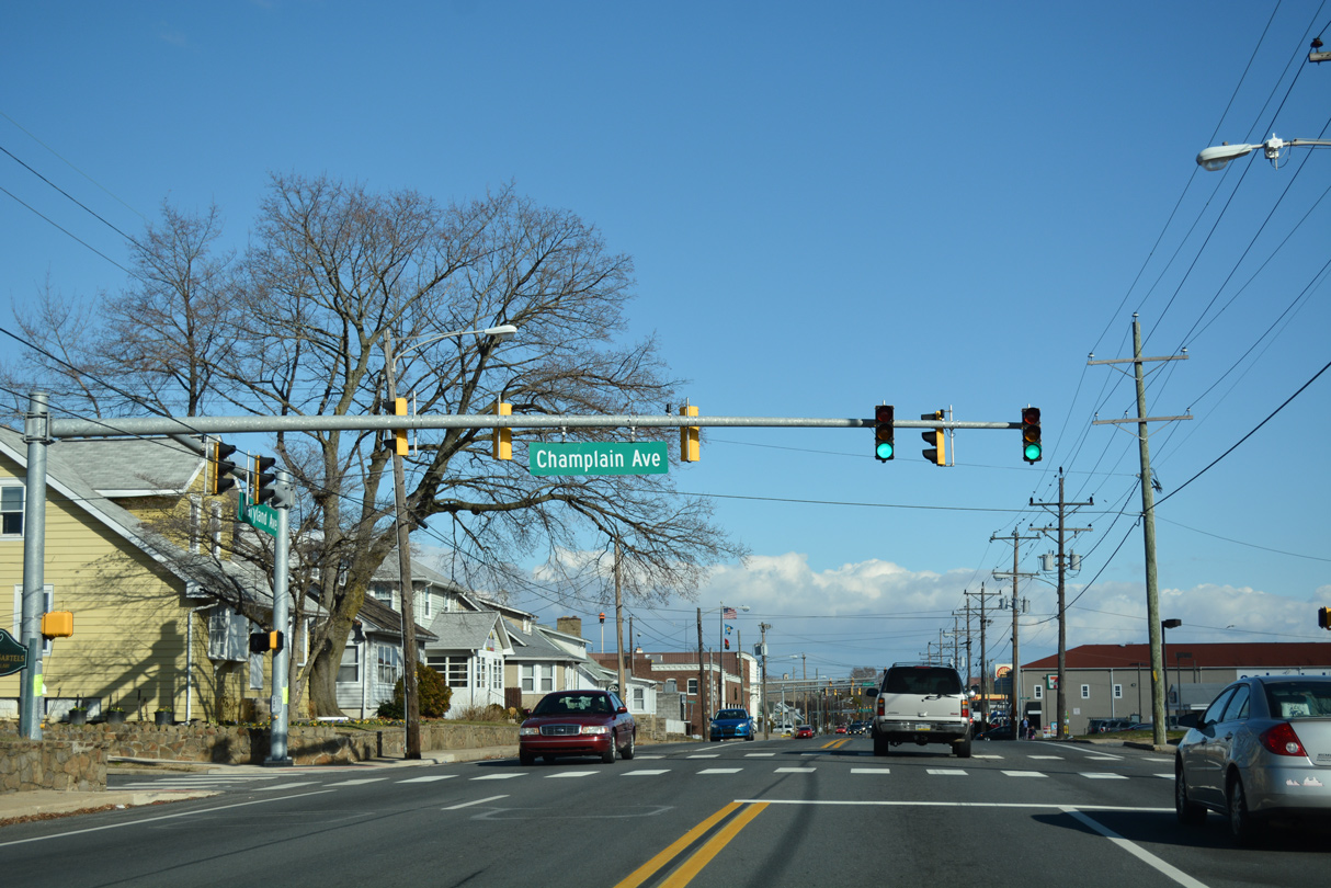
Champlain Avenue intersects SR 4 (Maryland Avenue) at the second in a series of signals serving residential streets of Bellemoor, Elmhurst and Richardson Park.
12/30/16
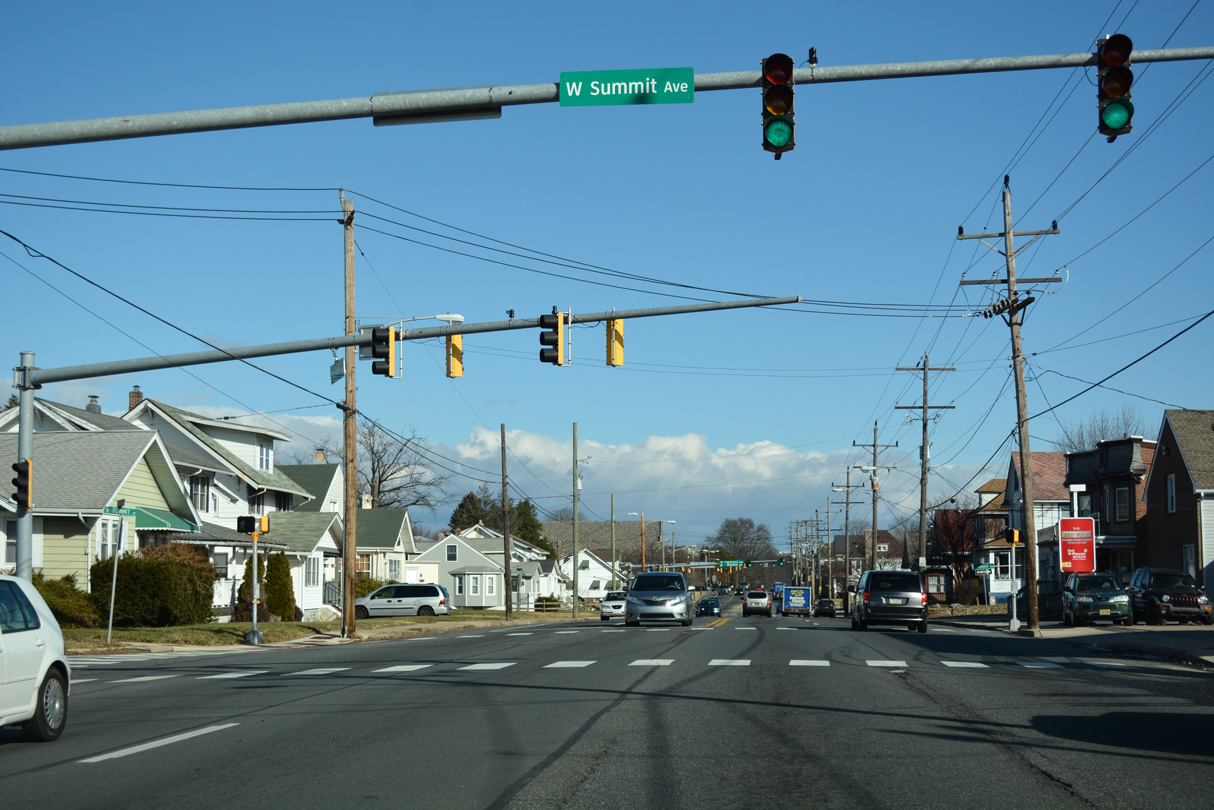
SR 4 (Maryland Avenue) intersects the Richardson Park street grid at sharp angles. A staggered intersection brings Elmhurst Place east and Summit Avenue west together by the Ashley community.
12/30/16
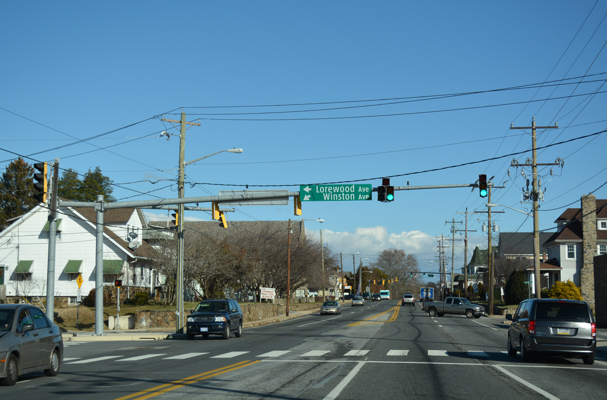
Lorewood and Winston Avenues converge at a signalized intersection with SR 4 (Maryland Avenue) from the north.
12/30/16
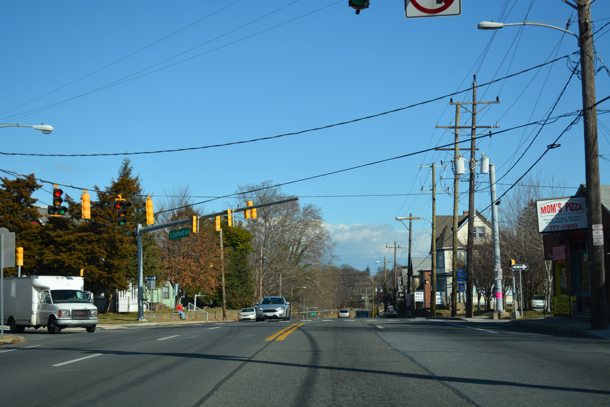
Eastbound reassurance shield posted ahead of the SR 4 intersection with SR 100 (Dupont Road) south. Dupont Road extends south through Elmhurst to Middleboro Road by Lewis Commercial Center.
12/30/16
SR 4 (Maryland Avenue) east and SR 100 (Dupont Road) south come together at Five Points. SR 100 follows an indirect route south from Montchanin to Richardson Park. The state route nips the northwest corner of Wilmington at Wawaset Heights.
12/30/16
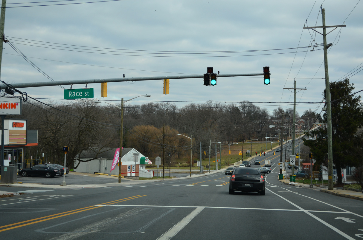
Descending toward Little Mill Creek, Maryland Avenue intersects SR 100 (Race Street) north at an unmarked intersection. The one way couplet of SR 100 combines to form a four lane arterial (Dupont Road) from Richardson Park north to Elsmere and SR 2 (Kirkwood Highway).
12/19/22
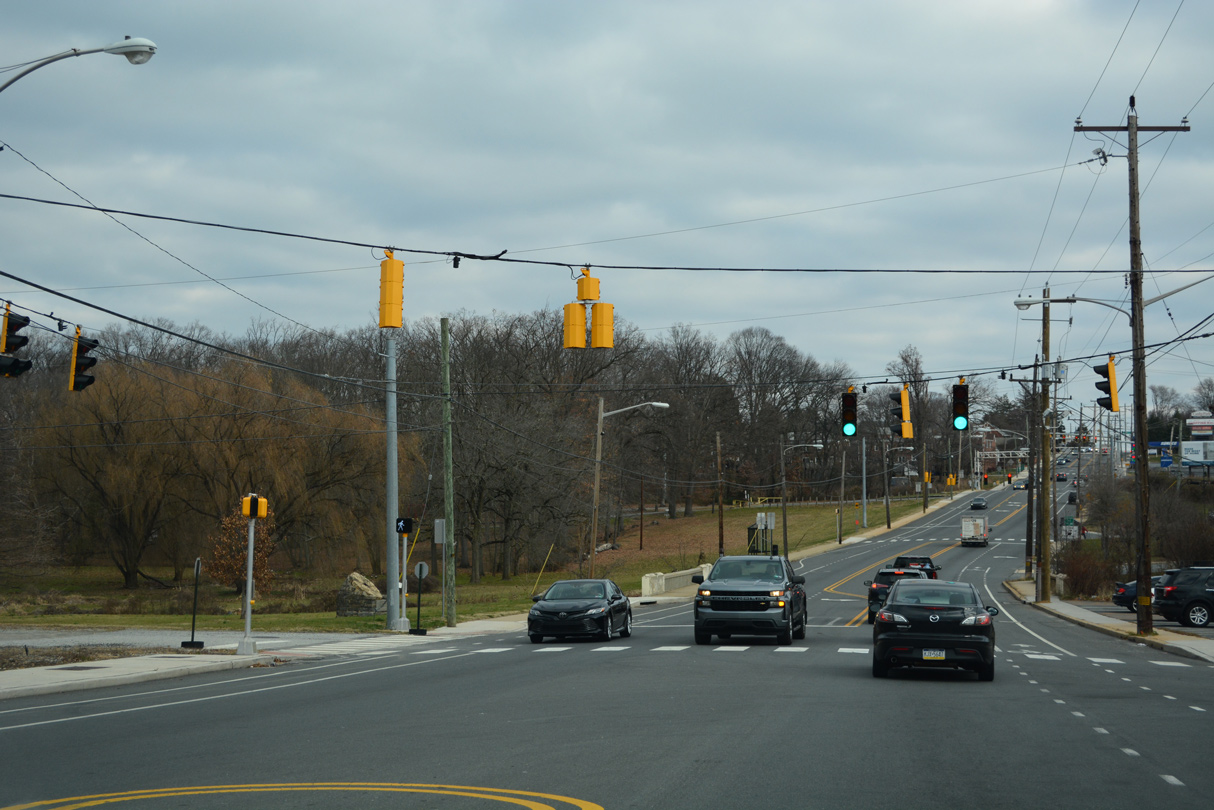
Continuing from SR 100 (Race Street), SR 4 (Maryland Avenue) lowers to cross a tributary of the Christina River at Canby Park West. Several signals line this stretch, starting with Brookside Drive south to an industrial park.
12/19/22
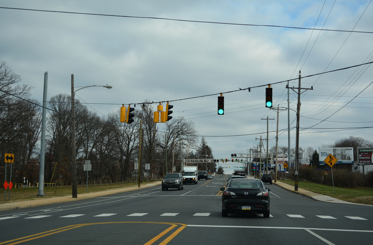
Germay Drive follows and spurs south from SR 4 (Maryland Avenue) to Germay Industrial Park.
12/19/22
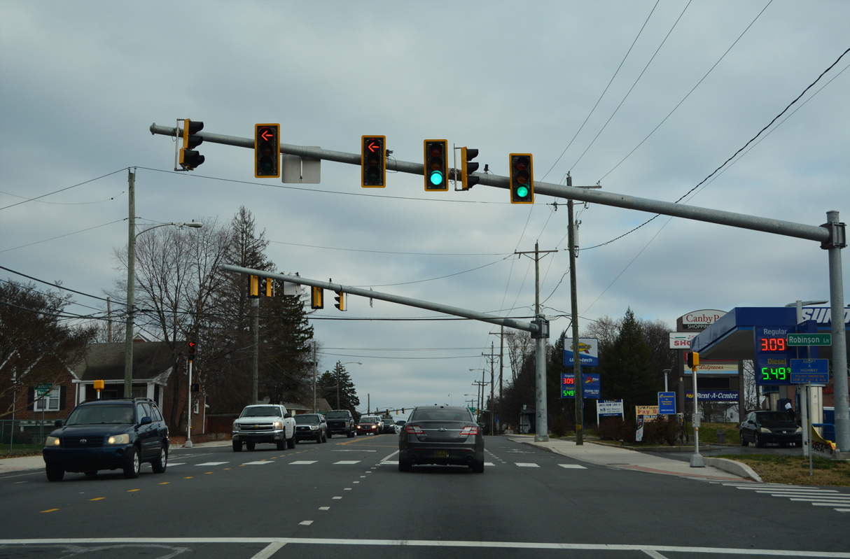
Robinson Drive spurs south from Maryland Avenue by Canby Park Shopping Center to a cluster of apartment complexes. The Cleland Heights street grid spreads to the north.
12/19/22
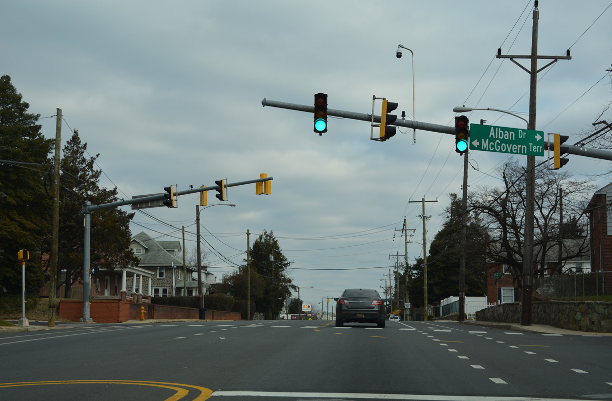
Albany Drive leads north from the aforementioned apartments to intersect SR 4 (Maryland Avenue) across from McGovern Terrace and Cleland Heights.
12/19/22
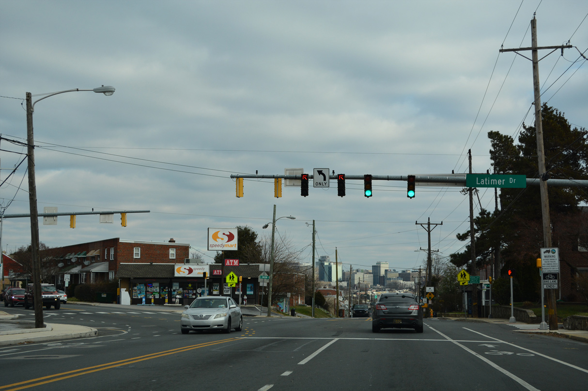
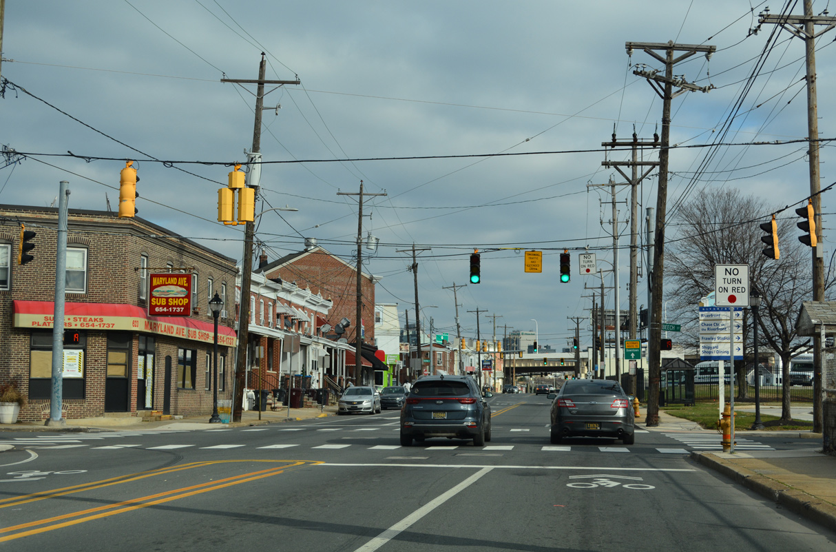
SR 4 (Maryland Avenue) east enters a five way intersection with Broom Street, Latimer Place and Latimer Drive near the Wilmington city line. Broom Street rises northward 12 blocks to SR 48 east (Lancaster Avenue) at the Hilltop neighborhood.
12/19/22
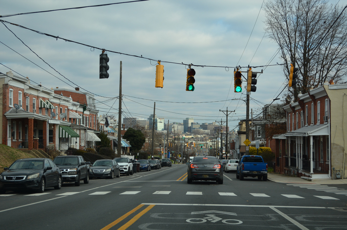
A numbered street series angles southeast from Maryland Avenue through the Browntown community. Pictured here are the signals on SR 4 east at 7th Avenue.
12/19/22
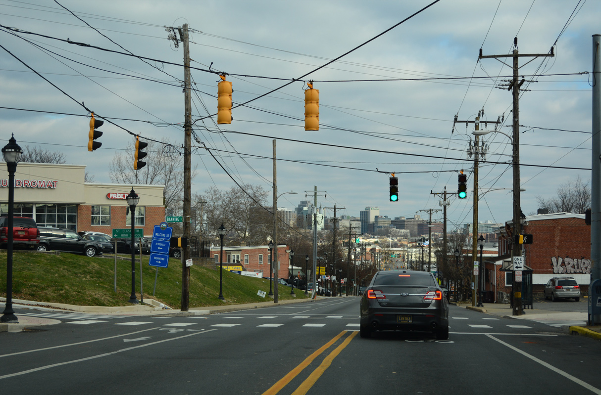
5th Avenue west and Banning Street east from the St. Elizabeth Area come together at SR 4 (Maryland Avenue) by Franklin Street and Casimir Pulaski Elementary.
12/19/22
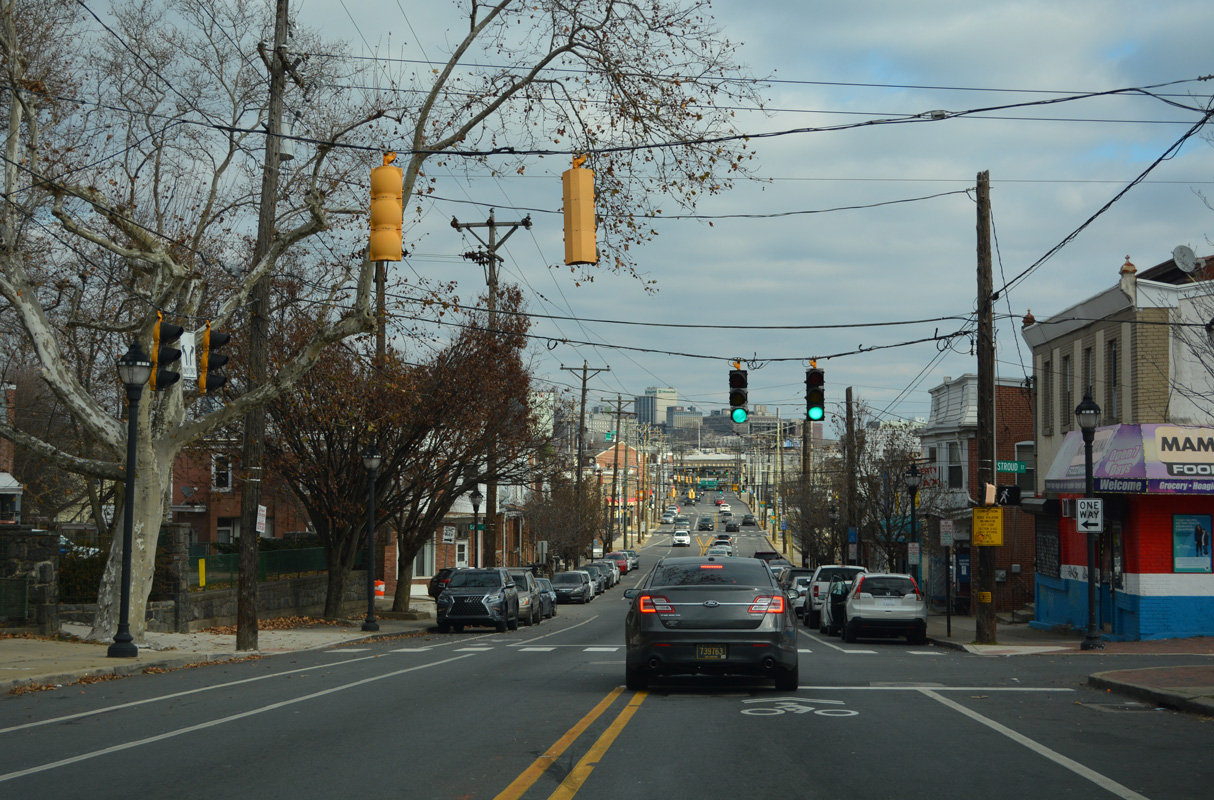
Coleman Street loops north as Stroud Street by Eddie Michaels Playground to end at SR 4 by Pulaski Triangle Park.
12/19/22
Beech Street links SR 4 (Maryland Avenue) with the Wilmington Riverfront and Daniel S. Frawley Stadium. Beech Street represents the southernmost through route below I-95 in Wilmington.
12/19/22
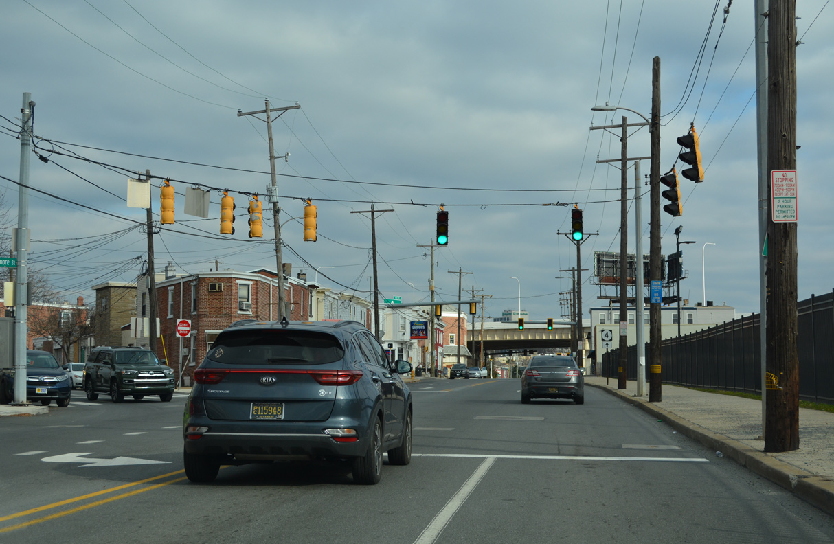
Jackson Street flows south from Hedgeville to SR 4 and Sycamore Street west. Further north, Jackson Street represents the west frontage street for I-95.
12/19/22
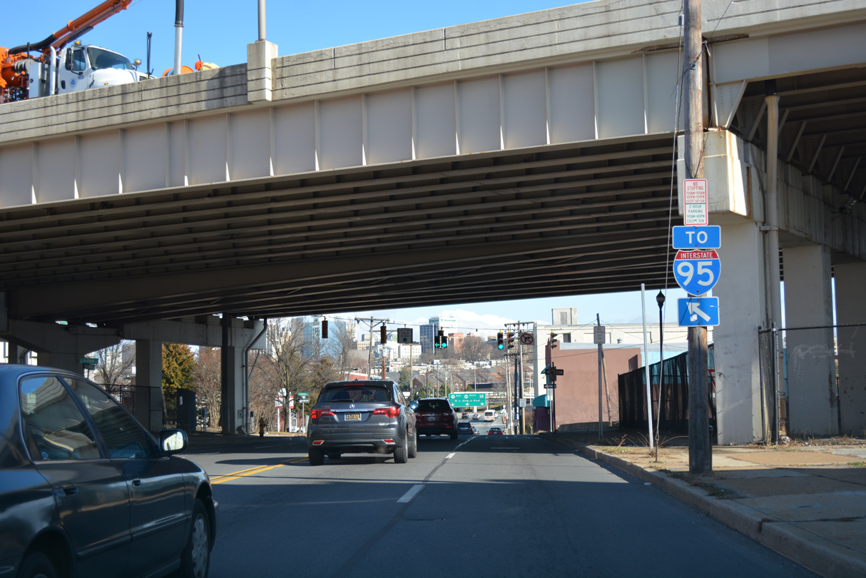
A trailblazer for SR 4 east precedes Maple Street and the Wilmington Viaduct along Interstate 95.
12/19/22
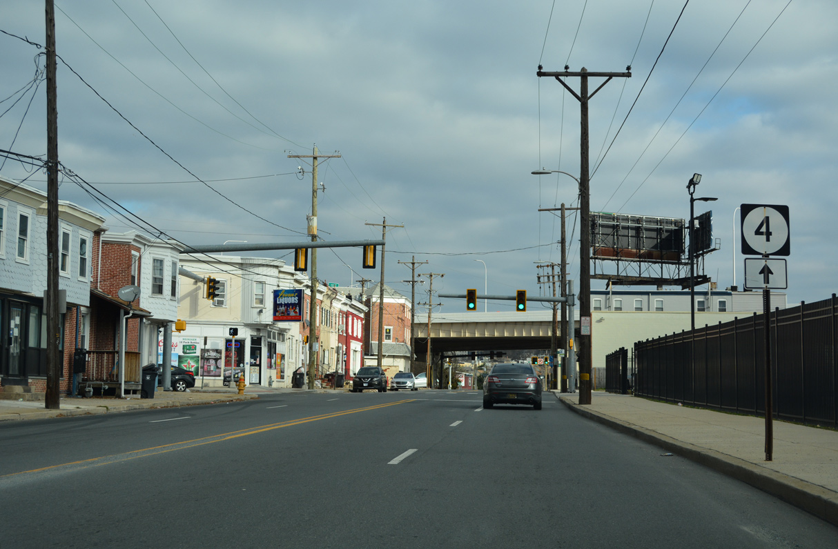
Maple Street flows west from Maryland Avenue through the Hedgeville community to Kosciuszko Park and SR 2 (Lincoln / Union Streets).
12/19/22
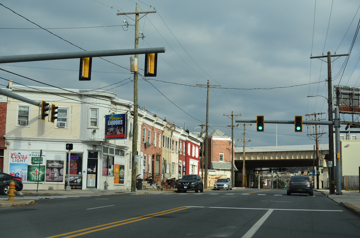
Traffic headed to Interstate 95 from SR 4 (Maryland Avenue) east is directed onto Adams Street north to SR 48 (2nd Street) for nearby entrance ramps to the Wilmington Viaduct.
12/30/16
The northbound exit ramp from Interstate 95 to SR 4 forms Adams Street north. Adams Street is the east side frontage street for I-95 to Happy Valley.
12/19/22
Missing since 2019, the final confirming marker for SR 4 east was posted after I-95 and ahead of the separation with Monroe Street.
12/19/22
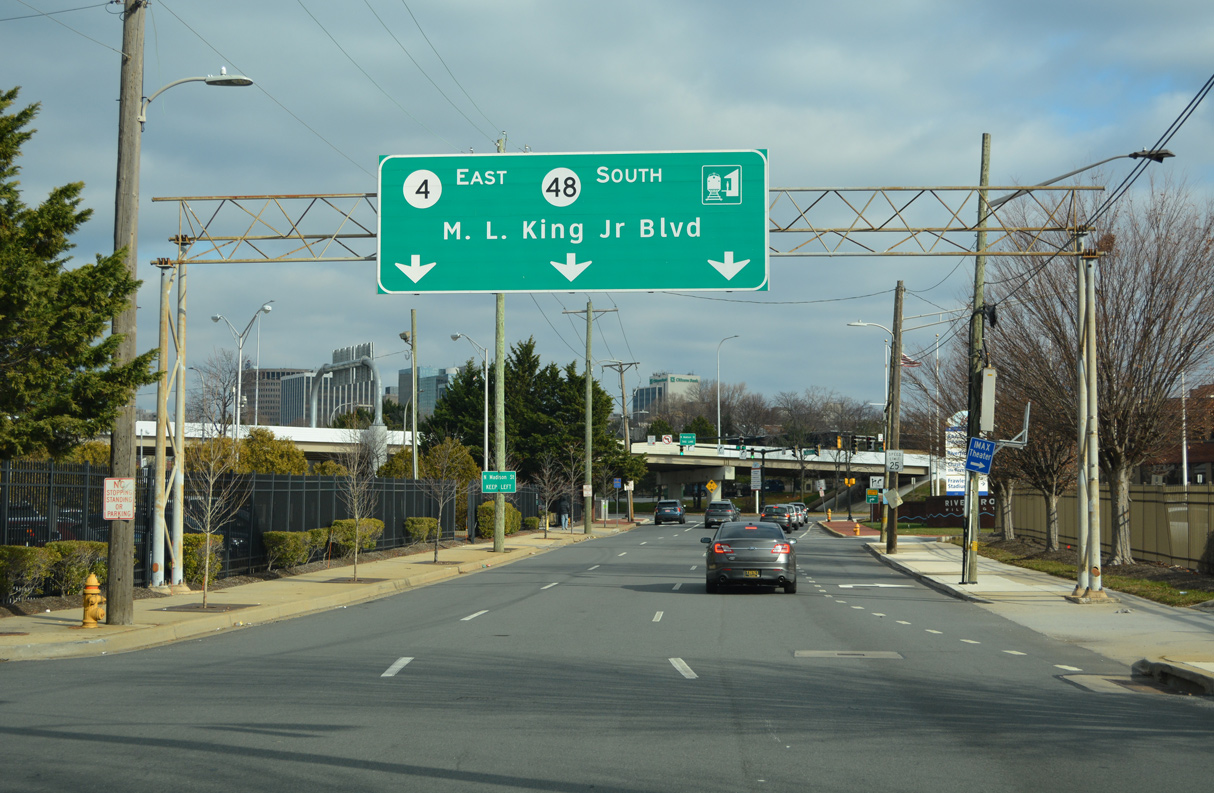
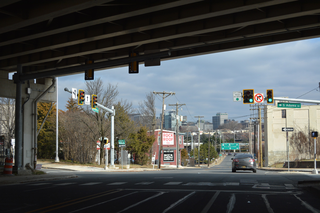
Maryland Avenue switches to one way traffic eastbound ahead of the five way intersection with SR 48 (Martin Luther King, Jr. Boulevard) south and Madison Street north.
12/19/22
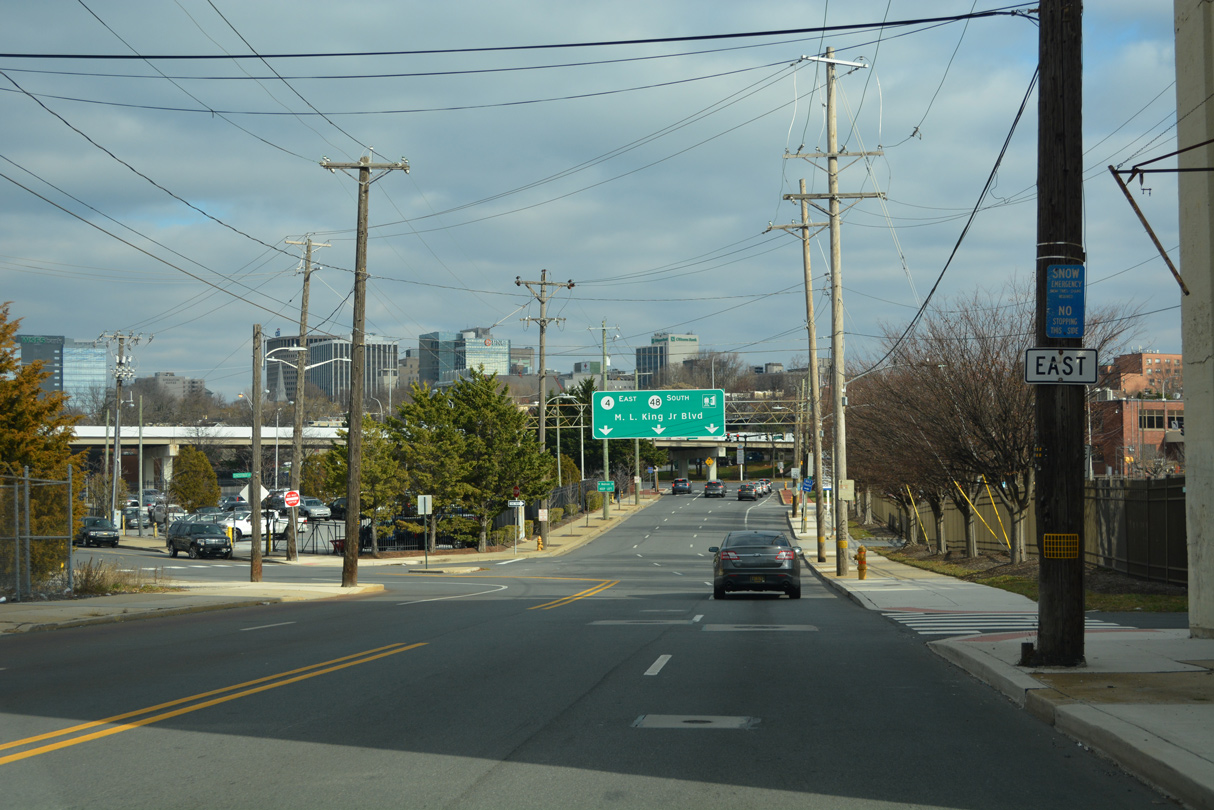
Three turn lanes join SR 48 (Martin Luther King, Jr. Boulevard) east from SR 4 (Maryland Avenue) to LOMA (Lower Market), U.S. 13 Business north to Downtown, and Front Street east to AMTRAK Wilmington Station.
12/19/22
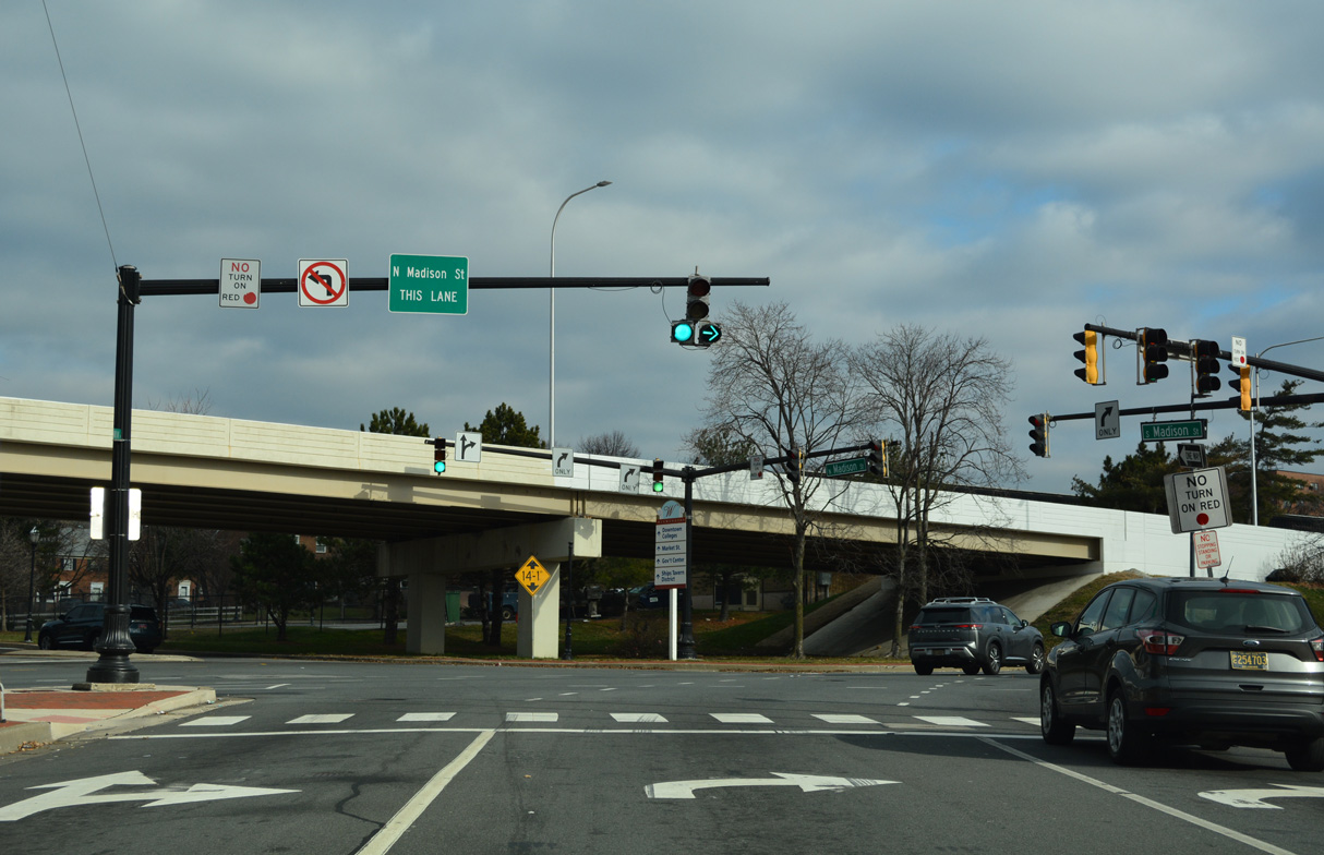
SR 4 joins Madison Street for one block to end at the unmarked intersection with SR 48 north at 2nd Street.
12/30/16


Photo Credits:
- Alex Nitzman: 05/01/04, 07/08/10, 06/16/12, 12/22/16, 12/30/16, 12/27/18, 12/30/18, 12/22/20, 12/19/22
Connect with:
Page Updated Wednesday January 04, 2023.