
State Route 48

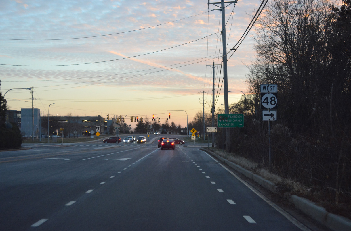
SR 48 travels seven miles northwest from LOMA in Wilmington to Hockessin in northern New Castle County. Paired with MSR 41 northwest to Gap, and U.S. 30 (Lincoln Highway) west from there, the state route provides the first leg of a route linking Wilmington with Lancaster, Pennsylvania.
SR 48 forms the southern gateway into Downtown Wilmington from Interstate 95 and Justison Landing to U.S. 13 Business northbound along Walnut Street. The state route travels along the one-way couplet of 2nd Street west and Lancaster Avenue / Martin Luther King, Jr. Boulevard east between the Hedgeville, Hilltop and Bayard Square neighborhoods to SR 2 (Lincoln and Union Streets). Lancaster Avenue switches to two-way traffic northwest from SR 2 (Union Street) westbound and continues SR 48 by the Union Park Gardens community.
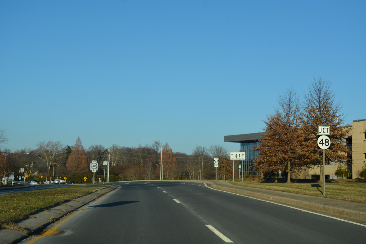
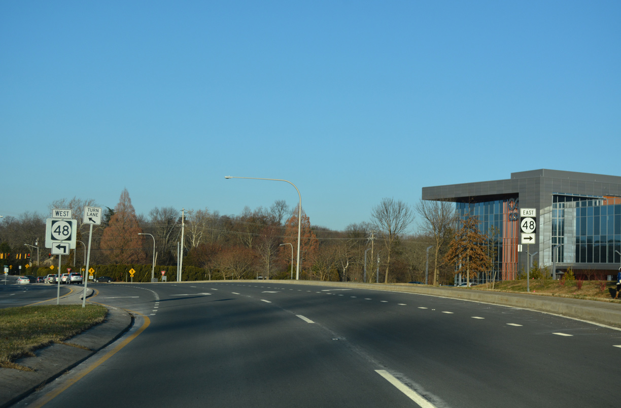
Exiting Wilmington west of the Greenhill neighborhood, SR 48 (Lancaster Pike) combines with SR 100 from North Dupont Road to SR 141, where an interchange was once planned. Lancaster Pike advances beyond SR 100 and 141 with four lanes to Hercules Road, and with two lanes from there to end at a wye intersection with SR 41 (Newport Gap Pike).
The high speed ramps linking Martin Luther King, Jr. Boulevard westbound, from both Downtown Wilmington and SR 48, were constructed in 1978 during reconstruction of Interstate 95 on the Wilmington Viaduct.1 Flyovers pass over SR 48 at Adams Street, complimenting the street level on-ramps from 2nd Street west and Jackson Street south of Lancaster Avenue.
Underway from 2020 to Spring 2023, the Wilmington Viaduct Project replaced the decks of the elevated roadway taking I-95 south from SR 9 (4th Street) to I-495 by the Christina River. Initial work on the project got underway in Spring 2020 with the closure of the entrance ramp from SR 48 to I-95 south. Subsequent construction removed the on-ramp from Jackson Street south of SR 48 (Lancaster Avenue) and expanded the entrance ramp from SR 48 (2nd Street) westbound to I-95 south with a receiving lane.
With an expected surge in traffic along U.S. 13 Business north into the city, an interim project focused on improving the traffic pattern along Walnut Street between Front Street (SR 48) and 4th Street (SR 9). The east end of SR 48 was reconfigured from a split between Front Street east to the Wilmington Train Station, and a sweeping curve north onto Walnut Street after 2nd Street. Construction completed in Fall 2019 removed the sweep and expanded Front Street by two lanes to accommodate the increase in traffic to U.S. 13 Business north.
SR 48 Guides
Historically SR 48 formed a multi state route with New Jersey Route 48 via the Wilmington-Penns Grove Ferry. Route 48 combined with U.S. 40 from Pennsville Auburn Road to Atlantic City along what was previously designated as New Jersey Route 18S. SR 48 appeared on the 1937 Official Delaware Highway Map, from SR 41 near Hockessin southeast to ferry landing at the mouth of the Christina River. The state route lined Christina Avenue northwest from what is now the Port of Wilmington to the Heald Street Bridge. West from the Christiana River, SR 48 traveled on 4th Street to SR 2 (Union Street), where it dog legged south to Lancaster Avenue.
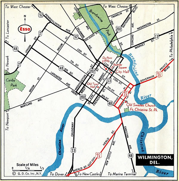
The route of SR 48 through Wilmington in 1950.
Completion of the Delaware Memorial Bridge in 1951 eliminated ferry service from Wilmington to Penns Grove, New Jersey. The 1952-53 Official Delaware Highway Map shows SR 48 marked south from Heald Street onto New Castle Avenue south toward the Delaware Memorial Bridge. The ensuing edition shows SR 48 realigned from 4th Street onto Lancaster Avenue east from SR 2 to U.S. 13 (French and Market Streets).
The 1964 Official Delaware Highway Map shows the couplet along Front Street east and 2nd Street west in place between Jackson Street and U.S. 13/202 north along Walnut Street. Completion of Interstate 95 north to Maryland Avenue, and south from 2nd and Front Streets in 1965, coincided with the relocation of SR 48 westbound along 2nd Street to SR 2 (Union Street), and the conversion of Lancaster Avenue into a one way street eastbound.
Delaware State Route 48 - 2015 Annual Average Daily Traffic (AADT)
- 11,137 - SR 41 to McKennans Church Road
- 20,467 - Stratton Drive to Hercules Road
- 30,485 - Centerville Road - SR 141
- 12,249 - SR 141 to North Dupont Road
- 25,884 - SR 100 to Greenhill Avenue
- 15,353 - SR 2 to I-95
- 38,718 - Adams Street to SR 4
- 20,472 - U.S. 13 Business (King Street) south to U.S. 13 Business (Walnut Street) north
 scenes
Washington Street south at SR 48 (2nd Street) westbound. Beyond 2nd Street, Washington Street defaults onto Martin Luther King, Jr. Boulevard westbound ahead of its ramp partition to Interstate 95. SR 48 parallels the elevated ramps to Adams Street and a street level ramp to I-95 south.
08/05/07
Trailblazers direct motorists along Adams Street north from the Maryland Avenue off-ramp of I-95 north to SR 2 and SR 48. These shields were copied over from older sign assemblies located here, as no follow up markers indicate where either SR 2 or SR 48 are in relation to Adams Street.
12/18/16
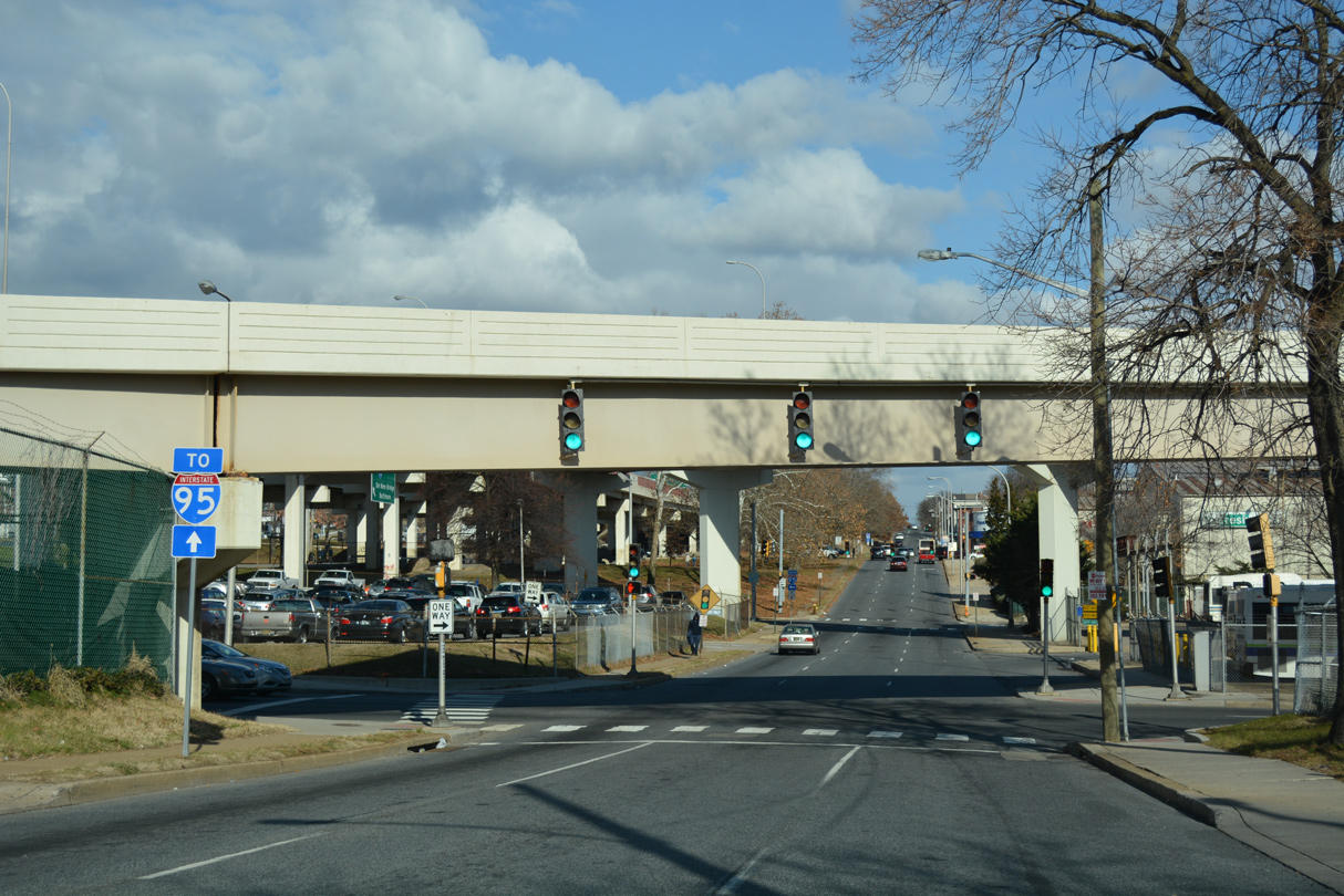
An I-95 trailblazer stands ahead of the Adams Street north intersection with SR 48 (Martin Luther King, Jr. Boulevard) east. A southbound on-ramp is located one block ahead from SR 48 (2nd Street) west.
12/30/16
Jackson Street extends two blocks south from the exit ramp connecting I-95 south with SR 9 (4th Street) to SR 48 westbound on 2nd Street.
12/19/22
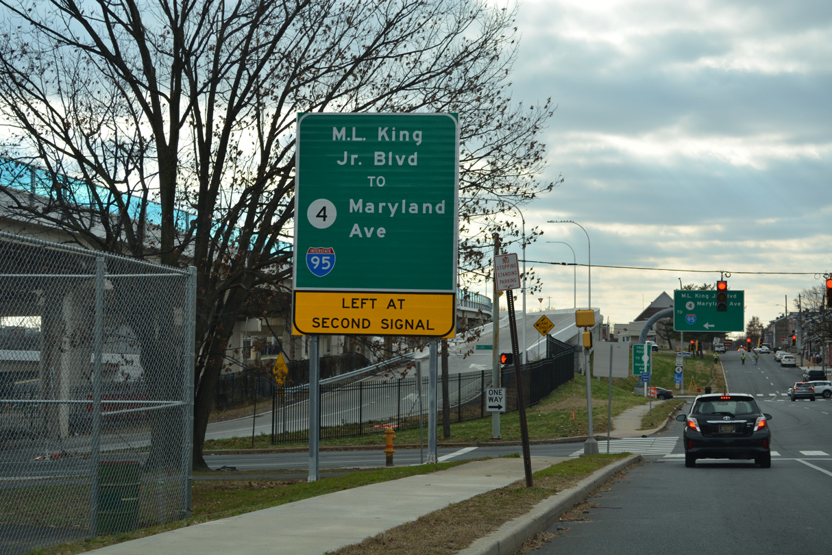
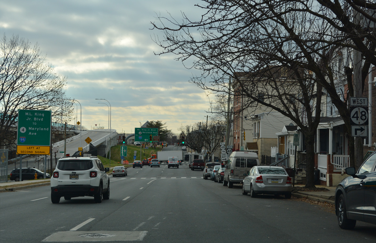
SR 48 (Martin Luther King, Jr. Boulevard) east links I-95 via Jackson Street to SR 4 (Maryland Avenue).
12/19/22
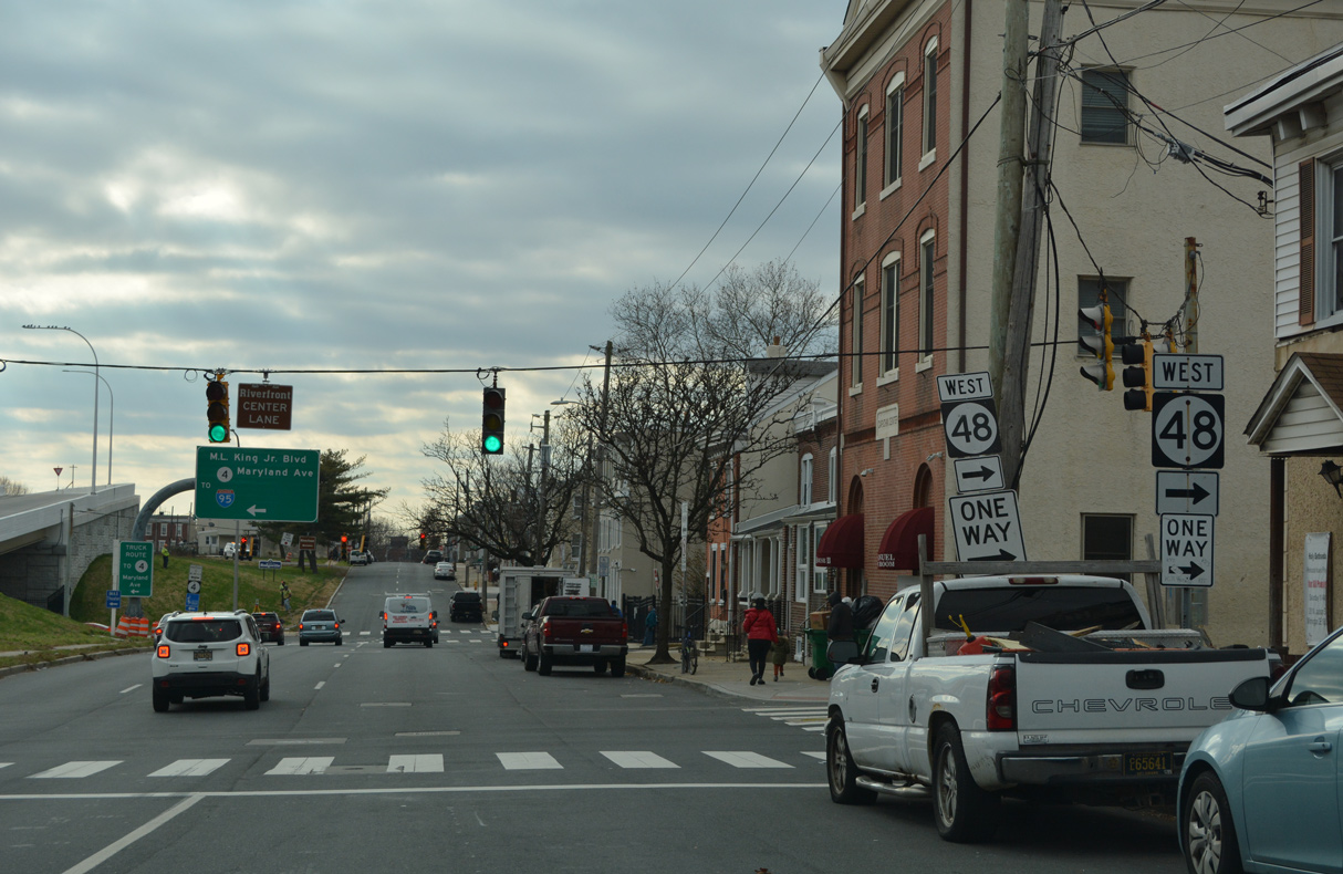
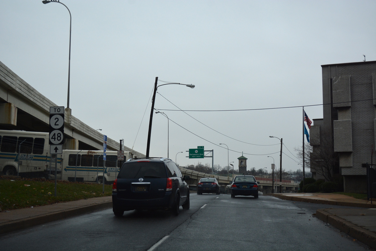
The couplet of SR 48 along 2nd Street and Lancaster Avenue takes the state route ten blocks northwest to SR 2 on Union Street.
12/19/22
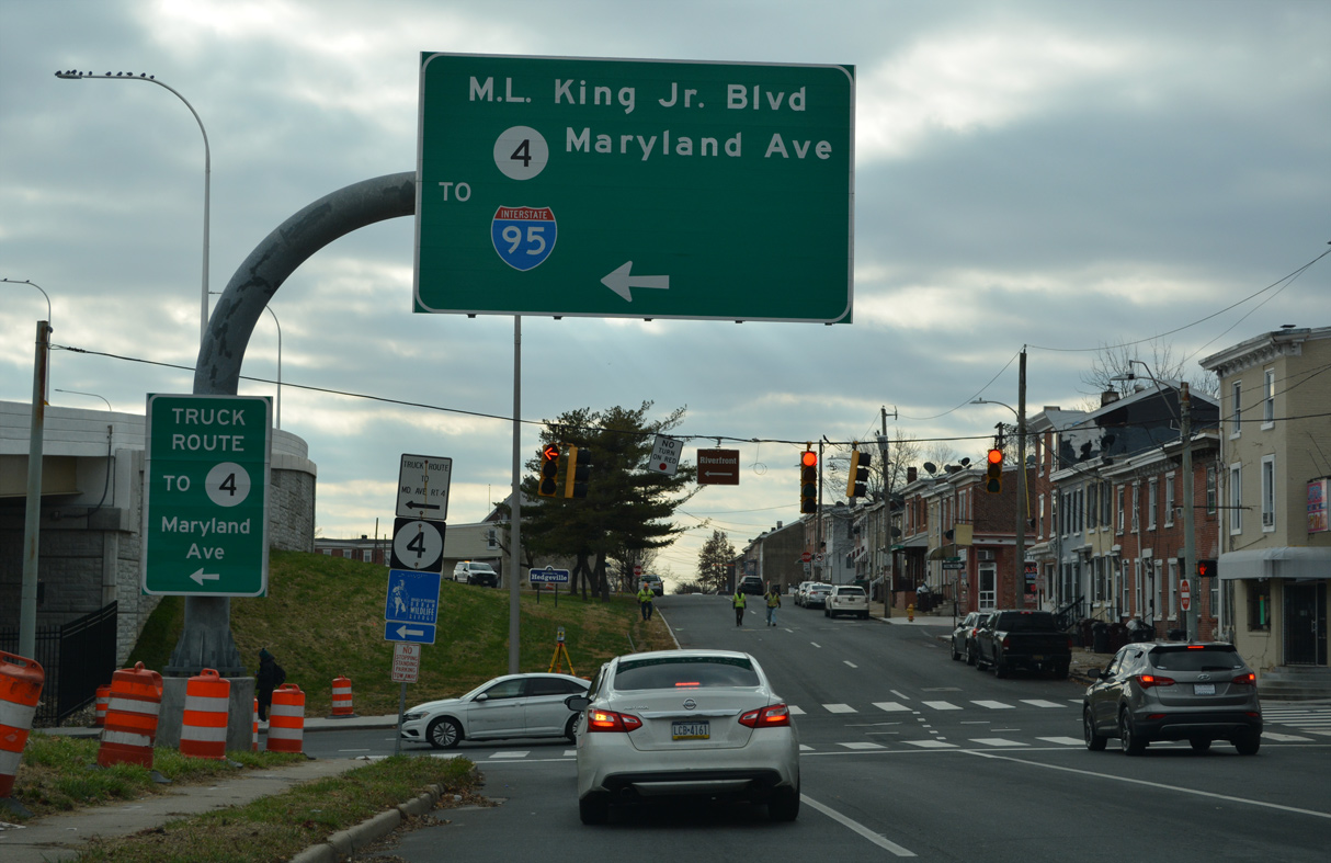
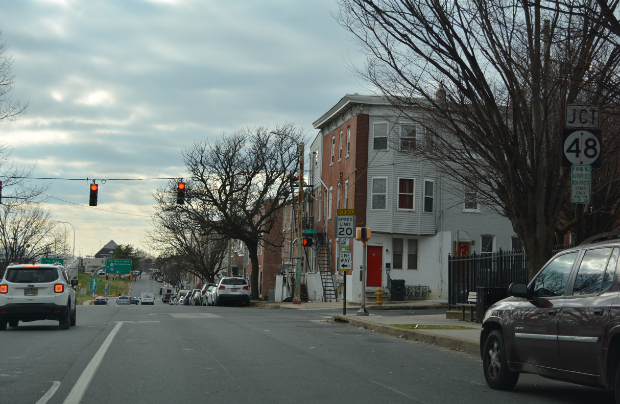
Jackson Street south at SR 48 (Lancaster Avenue / Martin Luther King, Jr. Boulevard) east. An entrance ramp formerly linked SR 48 with Interstate 95 south here.
12/19/22
Greenhill Avenue west at SR 48 (Lancaster Avenue). Greenhill Avenue comprises the main route between Lancaster Avenue and SR 52 (Pennsylvania Avenue) through northwest Wilmington.
04/30/04
Leading north from Faulkland Road (old SR 34) and the Brookmeade community, Centerville Road expands into a four lane boulevard through the Little Falls Centre business park to SR 48 (Lancaster Pike).
12/21/17
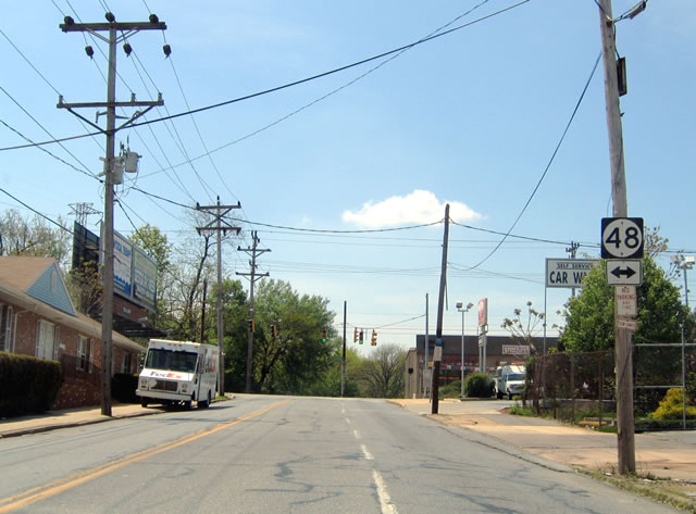
SR 48 (Lancaster Pike) travels west from Centerville Road to Hockessin and east to SR 100/141 (Centre Road) and Wilmington.
12/21/17
Navigating along a winding course south from SR 82 alongside Hoopes Reservoir, Centerville Road straightens out and widens to four lanes at the intersection with SR 48 (Lancaster Pike) across from Little Falls Centre.
12/21/17
Photo Credits:
- AARoads: 08/05/07
- Alex Nitzman: 04/30/04, 12/18/16, 12/30/16, 12/21/17, 12/19/22
- ABRoads: 12/21/17
Connect with:
Page Updated Thursday January 05, 2023.