
State Route 23

Commissioned around 1990 and first appearing on the Delaware Official Highway Map in 1994, Delaware State Route 23 forms an arc south from the bustling Five Points area to the east end of Long Neck. The state route spurs east from SR 5 and SR 24 along Long Neck Road through a mixture of suburban development and remaining farm and forest lands to the six sections of Pot-Nets, a manufactured home community. Long Neck Road ends at boat ramp area by Masseys Landing.
North from the commercialized intersection with SR 24 (John J. Williams Highway), SR 23 combines with SR 5 along Indian Mission Road for 2.5 miles. The overlap is poorly marked as the pair curve passed several newer subdivisions to their rural split at Beaver Dam Road near Fairmount. SR 5 branches northwest toward Milton while SR 23 turns more easterly.
Beaver Dam Road travels initially as a rural highway north to Hollymount, where SR 24 Alternate previously traveled west from SR 23 to Hollyville and Zoar. All signs for the alternate route west of SR 23 were dropped by 2017, while a few remnant shields appear along SR 23 northward to Belltown. A number of subdivisions line SR 23 otherwise as it progresses northward toward Five Points, with open agricultural areas eventually accommodating more development.
The Plantation Road Improvements, Robinsonville Road to US 9 (Phase 1) project underway from Fall 2022 to Spring 2025 realigned the north ends of SR 1D (Plantation Road) and SR 23 (Beaver Dam Road) to meet at a roundabout with Belltown Road and Salt Marsh Boulevard. Belltown Road links SR 1D/23 with parallel U.S. 9/SR 404. SR 24 ALT previously extended southeast alongside SR 1D to SR 24 at Midway.
Delaware State Route 23 - 2014 Annual Average Daily Traffic (AADT)
- 11,750 - Masseys Landing to SR 24
- 4,608 - SR 24 to Road 48
- 1,635 - SR 5 to Holleyville Road
- 13,566 - Road 285 to SR 1
Long Neck Road leads away from Massey's Landing Boat Ramp.
01/16/17
Conch Road stems south from SR 23 while Faucett Place parallels Long Neck Road to the north as new streets added at Masseys Landing by 2016.
01/16/17
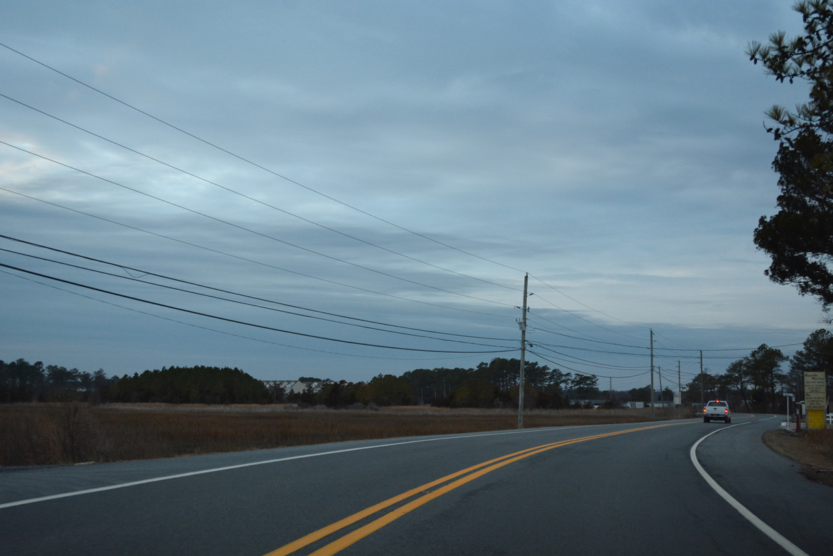
An S-curve takes Long Neck Road across wetland areas south of Lee Joseph Creek.
01/16/17
Agricultural land spreads north and south of Long Neck Road as SR 23 winds west to the Pot-Nets Bayside and Creekside communities.
01/16/17

Banks Road arcs north around the Baywoods golf course community to SR 24 (John J. Williams Highway) from SR 23 at School Lane.
01/16/17
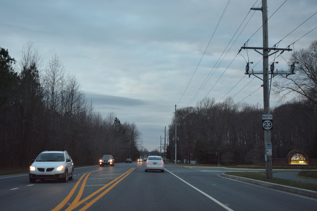
The first reassurance marker for SR 23 appears north of Banks Road.
01/16/17
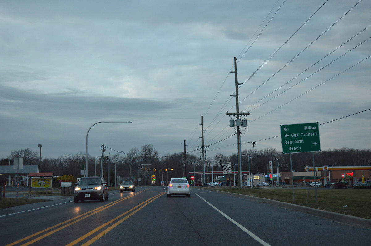
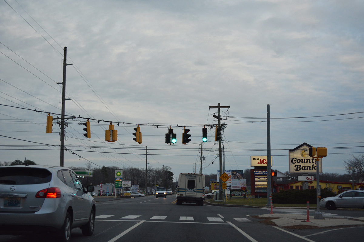
SR 23 (Long Neck Road) intersects SR 5 south and SR 24 (John J. Williams Highway) at the forthcoming traffic light. SR 5 south overlaps with SR 24 west to end at Oak Orchard, while SR 24 east constitutes a busy route east to SR 1 at Midway.
01/16/17
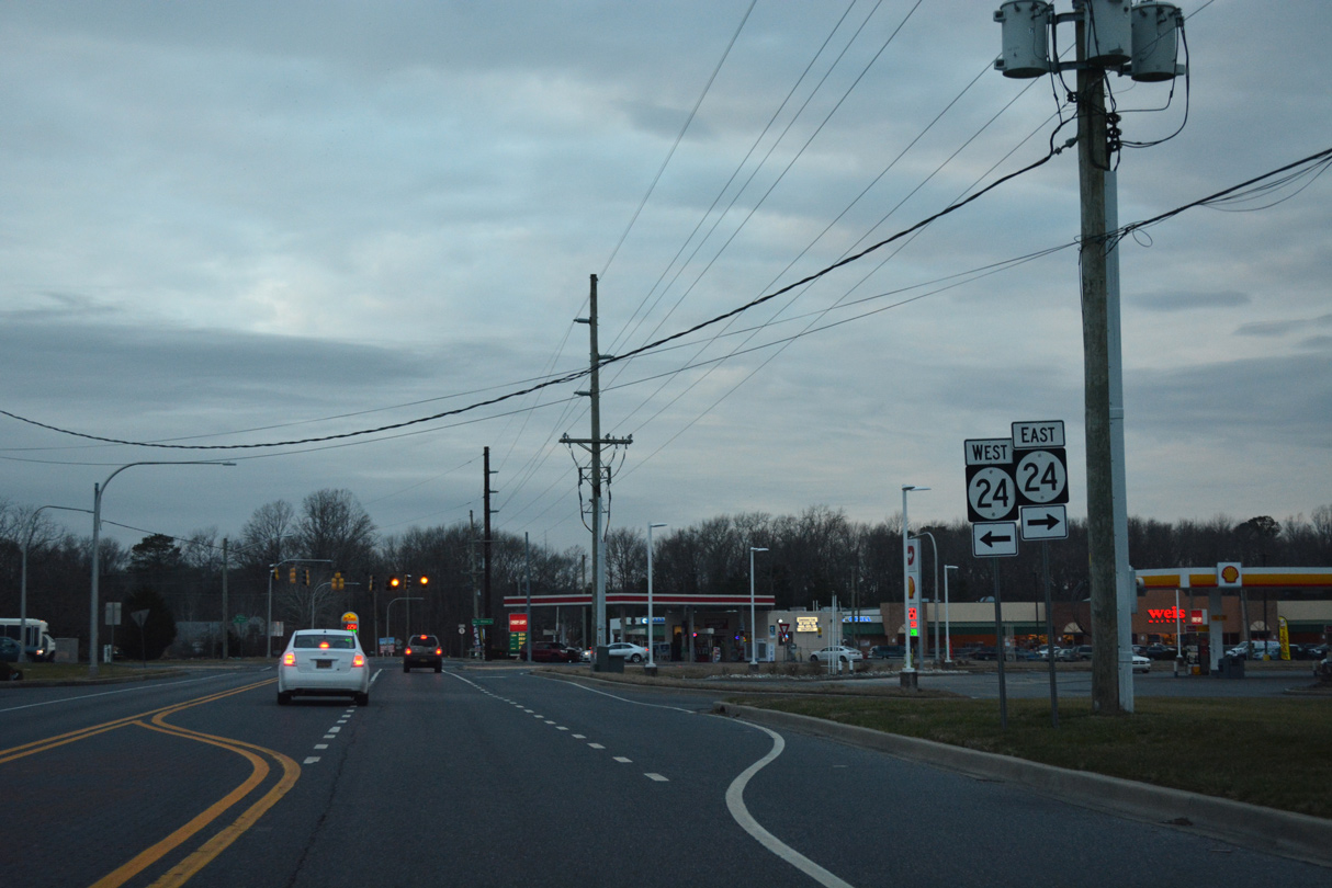
SR 24 travels 40.6 miles across Sussex County, from SR 1 near Rehoboth Beach west to Millsboro, Laurel and MD 348 near Sharptown.
01/16/17
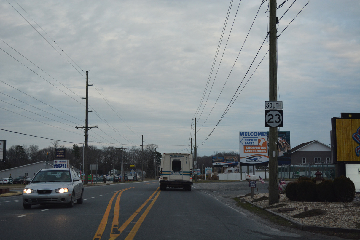
SR 23 branches north onto Beaver Dam Road to Hollymount and Belltown while SR 5 continues to Andersons Corner, Harbeson and Milton.
01/16/17

A remnant shield for SR 24 Alt remains paired with SR 23 after the two routes combined north from Hollymount Road. SR 24 Alt overlayed SR 23 to Belltown, and SR 1D from there to SR 24 at Midway.
01/16/17
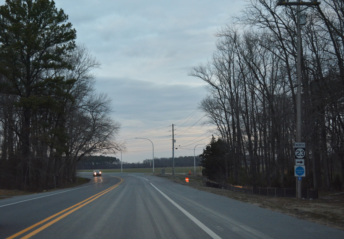
SR 23 (Beaver Dam Road) north of Jimtown Road (Rd 285A).
12/22/24
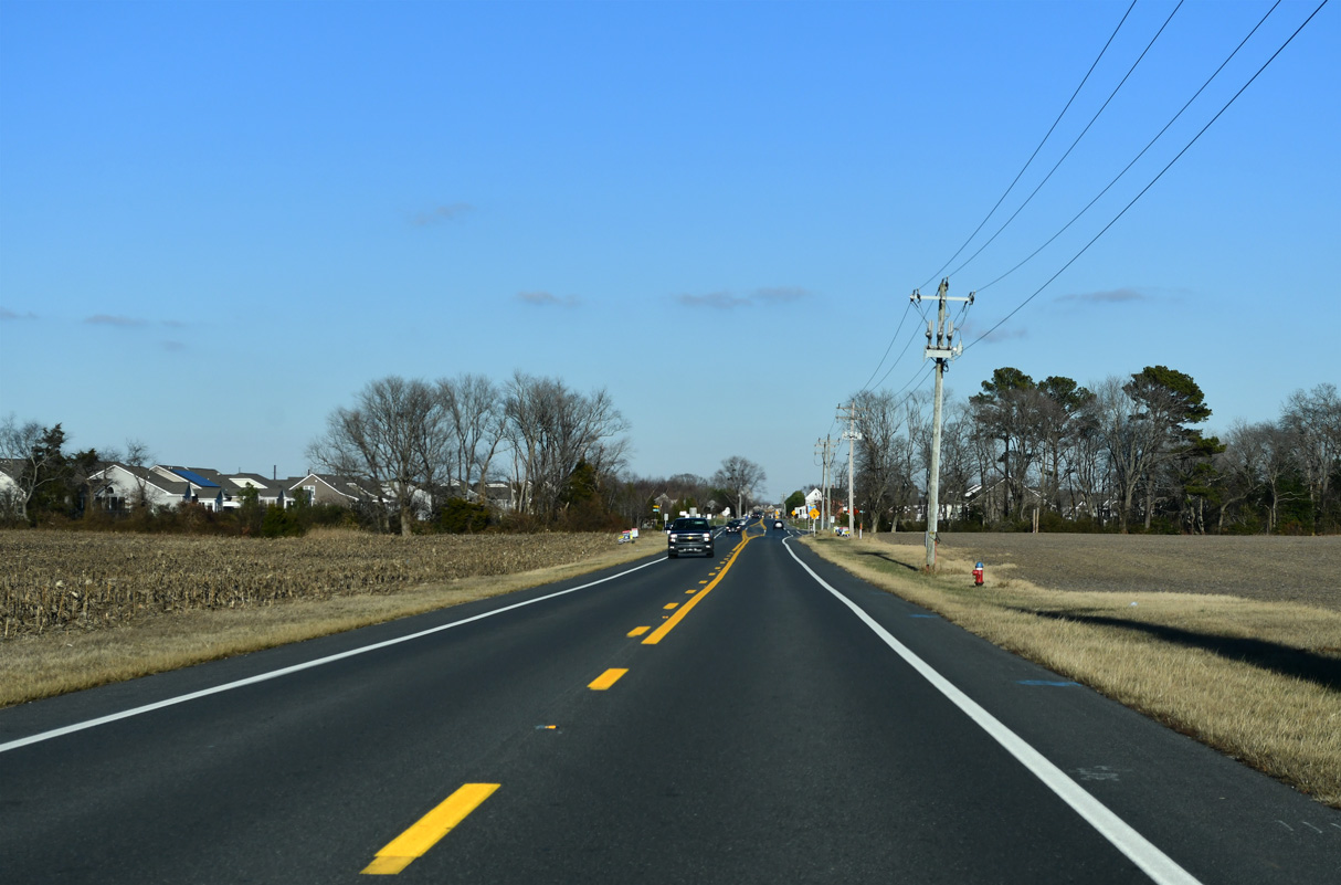
SR 23 (Beaver Dam Road) was realigned during 2022-25 roadwork into a roundabout constructed with Salt Marsh Boulevard south, SR 1D (Plantation Road) south and Belltown Road north.
12/22/24
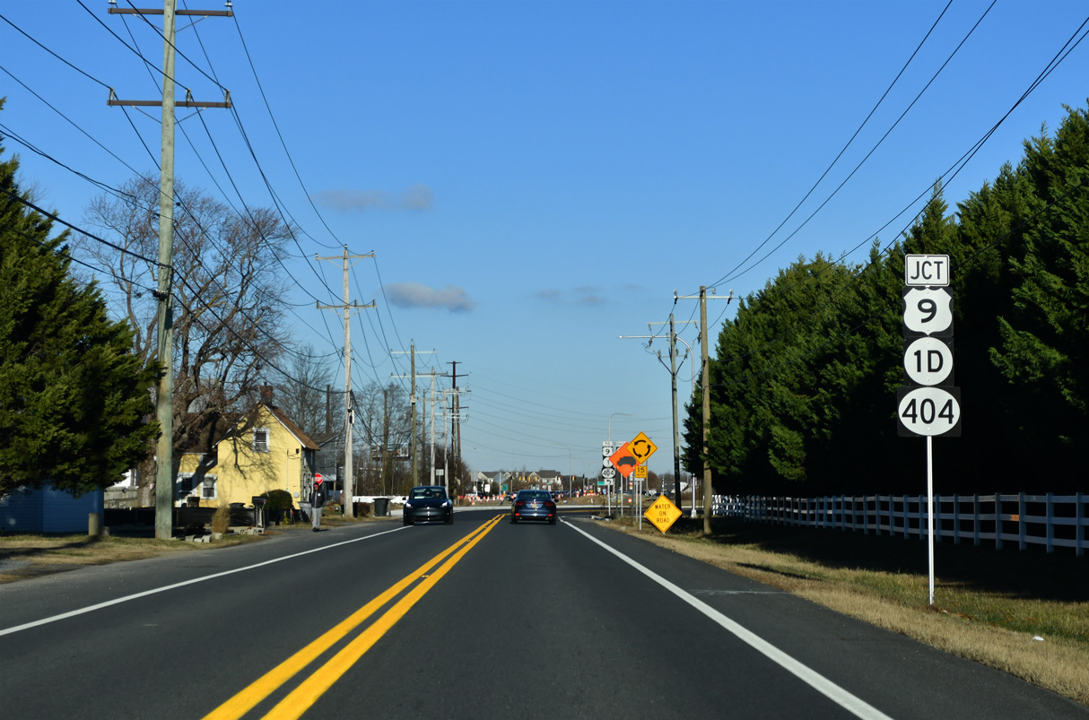
SR 1D/23 combine along Belltown Road north to an adjacent intersection with U.S. 9/SR 404 (Lewes Georgetown Highway).
12/22/24
U.S. 9/SR 404 (Lewes Georgetown Highway) link SR 1D/23 with SR 1 (Coastal Highway) at Five Points. U.S. 9/SR 404 overlap west to SR 18 in Georgetown.
12/22/24
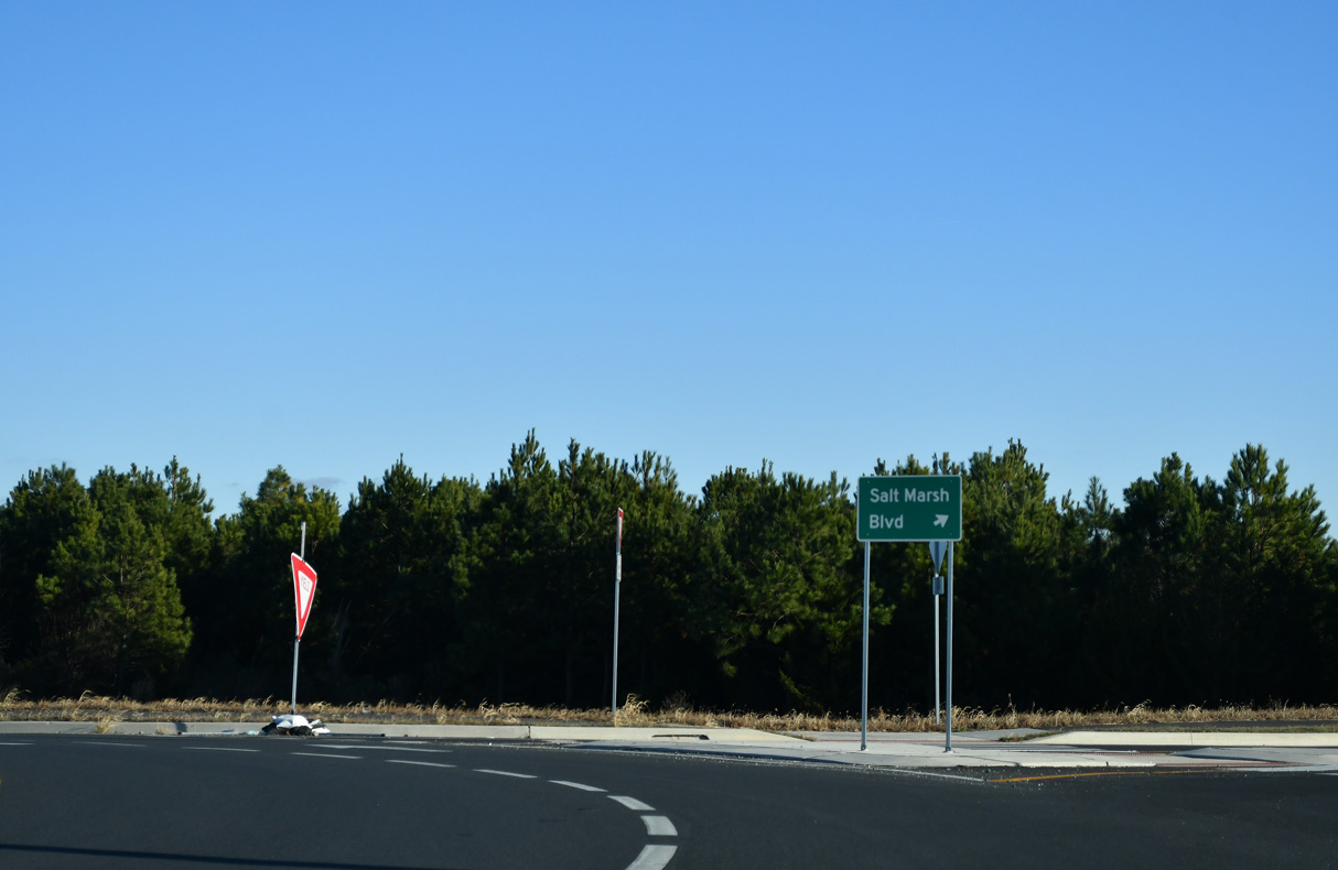
A residential street, Salt Marsh Boulevard was also realigned, tieing into the roundabout with SR 1D/23 across from Belltown Road.
12/22/24
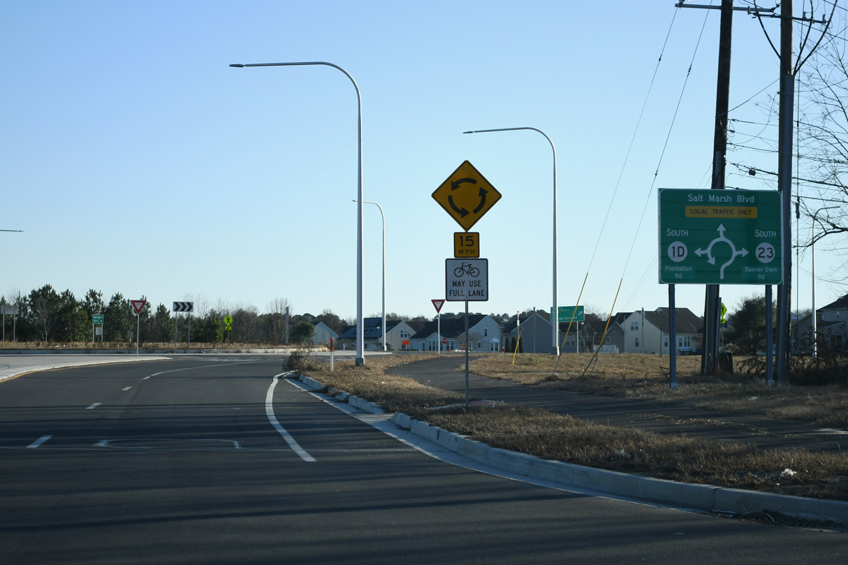
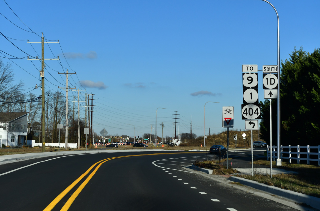
SR 23/1D follow Belltown Road, a short connector linking with SR 1 (Coastal Highway) and U.S. 9/SR 404 at Belltown, south to a roundabout with Beaver Dam Road, Plantation Road and Salt Marsh Boulevard. SR 1D (Plantation Road) leads east to Midway while SR 23 angles southwest by Jimtown.
12/24/24
The first confirming marker for SR 23 appeared along Beaver Dam Road south ahead of Salt Marsh Boulevard and the Henlopen Landing community. It was removed by 2019 and this section of Beaver Dam Road now dead ends east from Church Street.
01/16/17
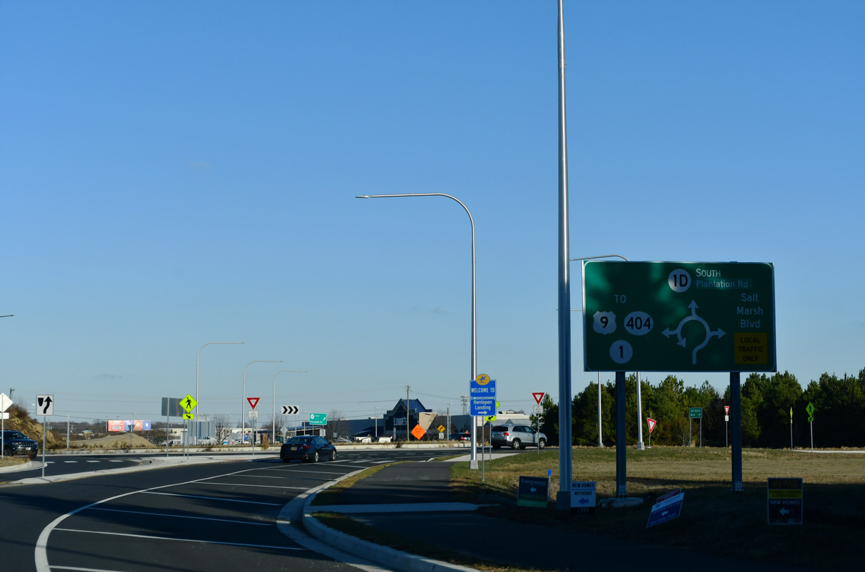
There is no confirming marker posted for SR 23 south after the roundabout with SR 1D and Belltown Road.
12/22/24
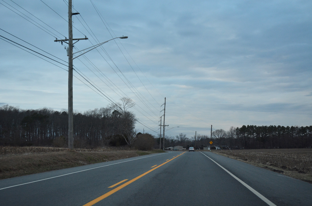
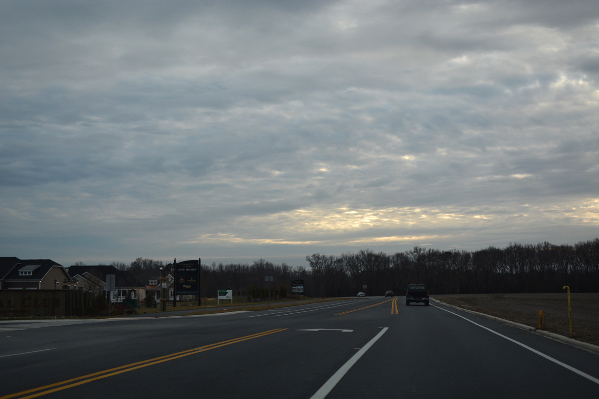
Beaver Dam Road expands to include turn lanes at Deep Valley Boulevard and the Lewes Crossing development.
01/16/17
Jimtown Road (Rd 285A) connects SR 23 (Beaver Dam Road) with parallel Robinsonville Road (Rd 277), 0.86 miles to the southeast.
12/22/24
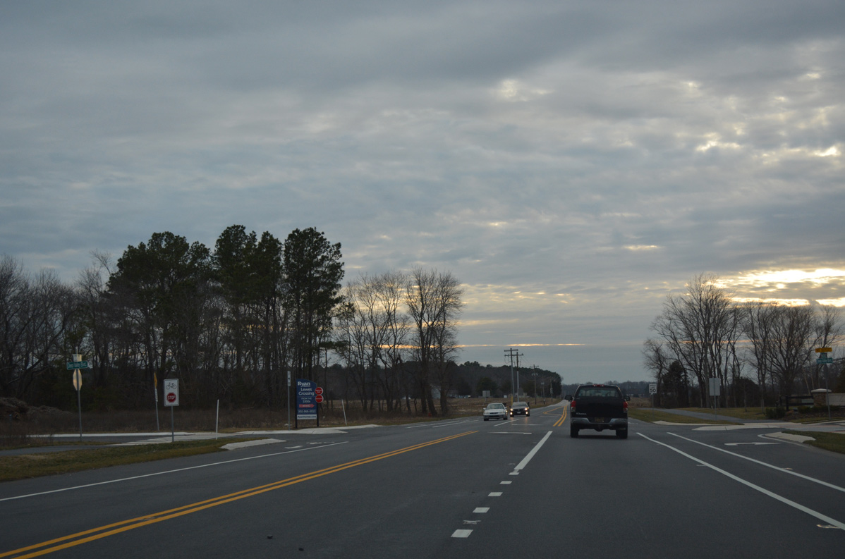
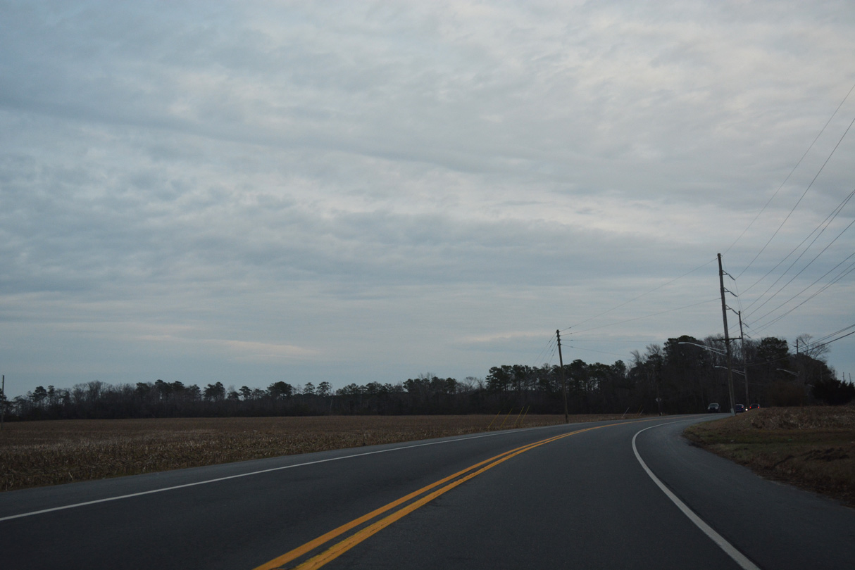
Passing west of Jimtown across remaining farm land, SR 23 continues to intersect Marblehead Drive at the Coastal Club development.
01/16/17
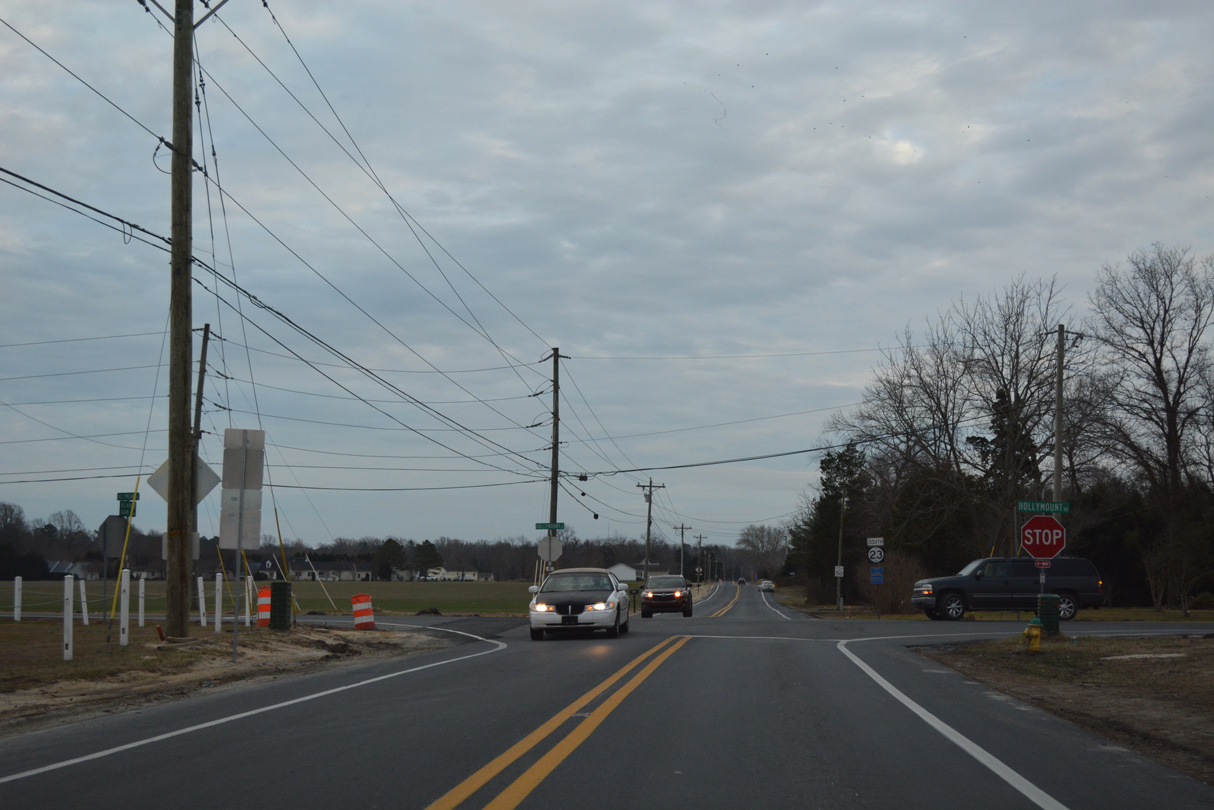
SR 23 advances south through the settlement of Hollymount to intersect Hollymount Road. Hollymount Road west was formerly a part of SR 24 Alt, which had overlapped with SR 23 south from SR 1D (Plantation Road). No signs remained for the alternate route west of Beaver Dam Road as of January 2017.
01/16/17
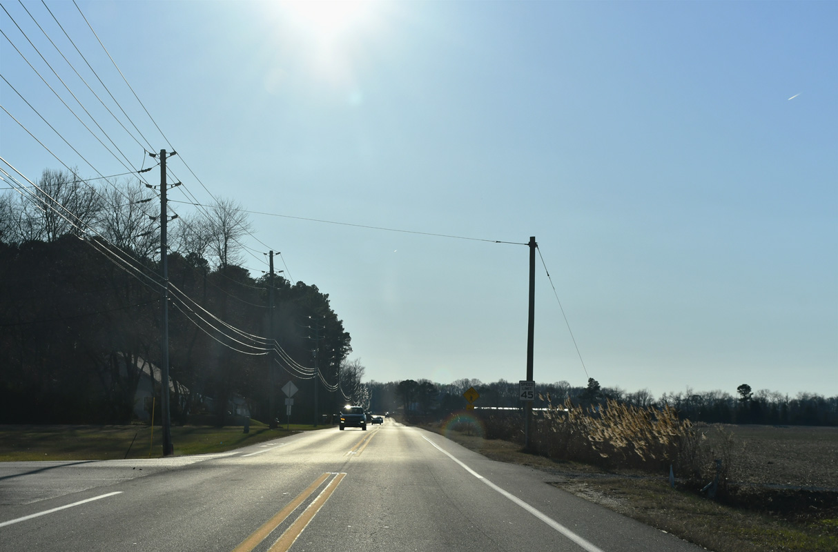
A reassurance marker stands along the final 0.8 miles of Beaver Dam Road south through Fairmount.
01/16/17

SR 23 overlaps with SR 5 (Indian Mission Road) south from Beaver Dam Road at this unmarked intersection. A shield for SR 23 was previously posted here in 2015.
01/16/17
Indian Mission Road travels south by the Independence development toward Harmons Hill Road. The SR 5/23 overlap is not acknowledged in this direction.
01/16/17
Previously a rural crossroads, SR 5/23 (Indian Mission Road) south at Cannon Road south falls between the Pelican Point and Stonewater Creek developments.
01/16/17
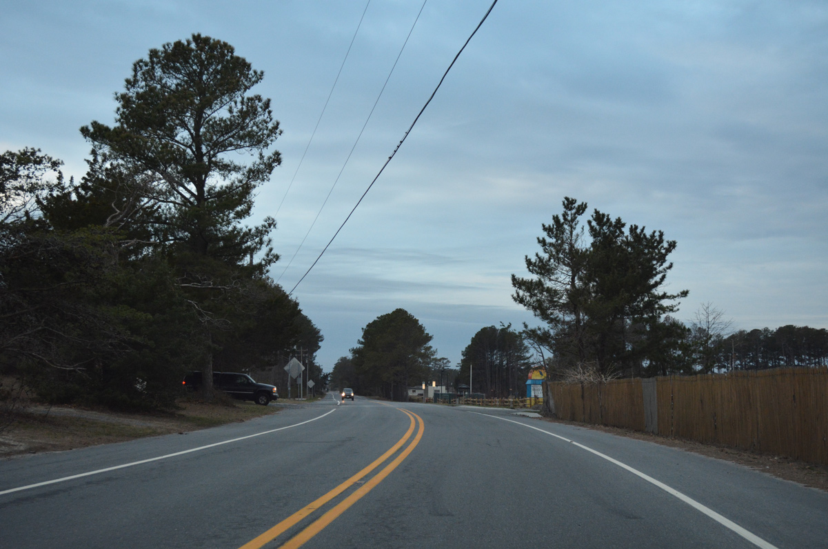
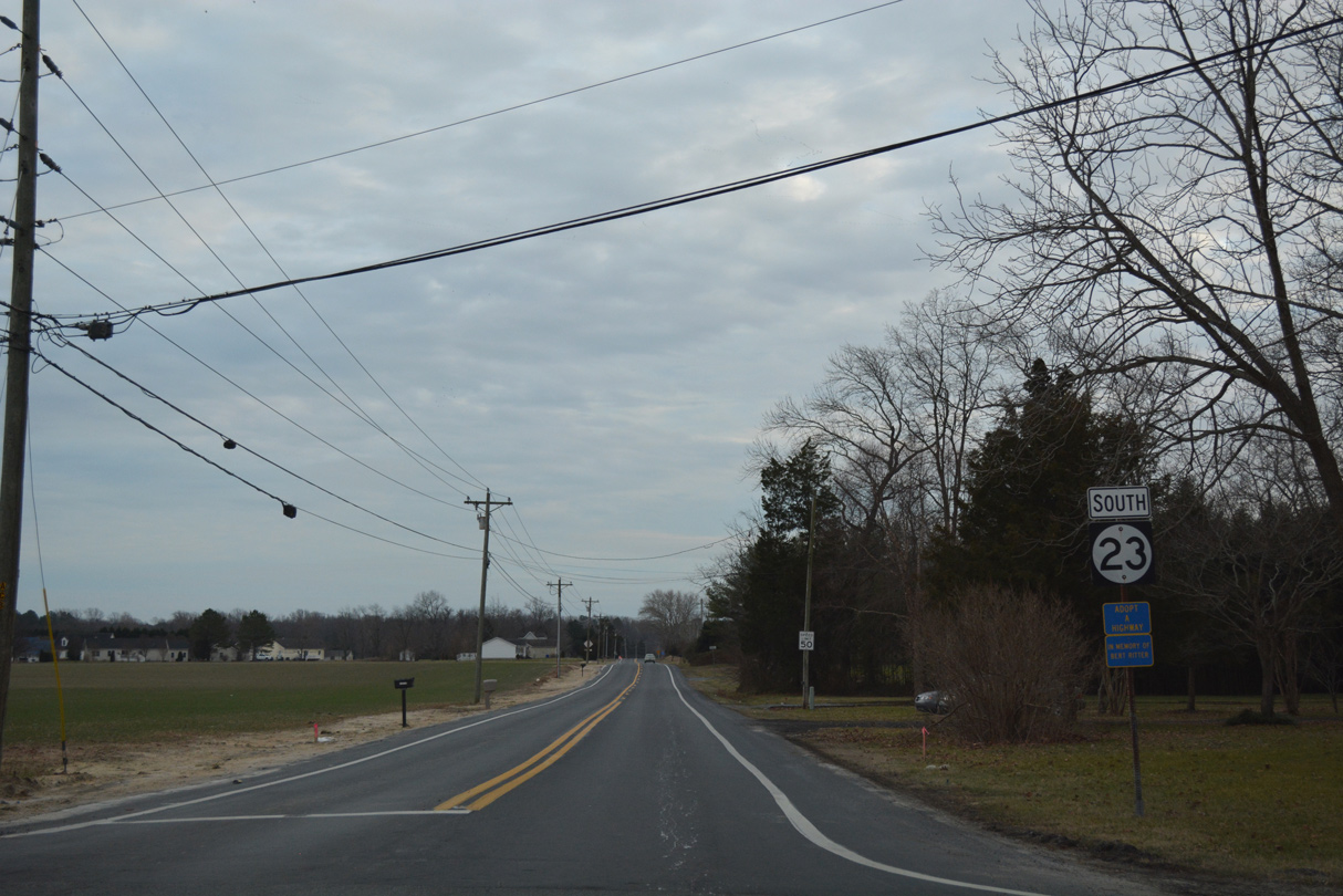
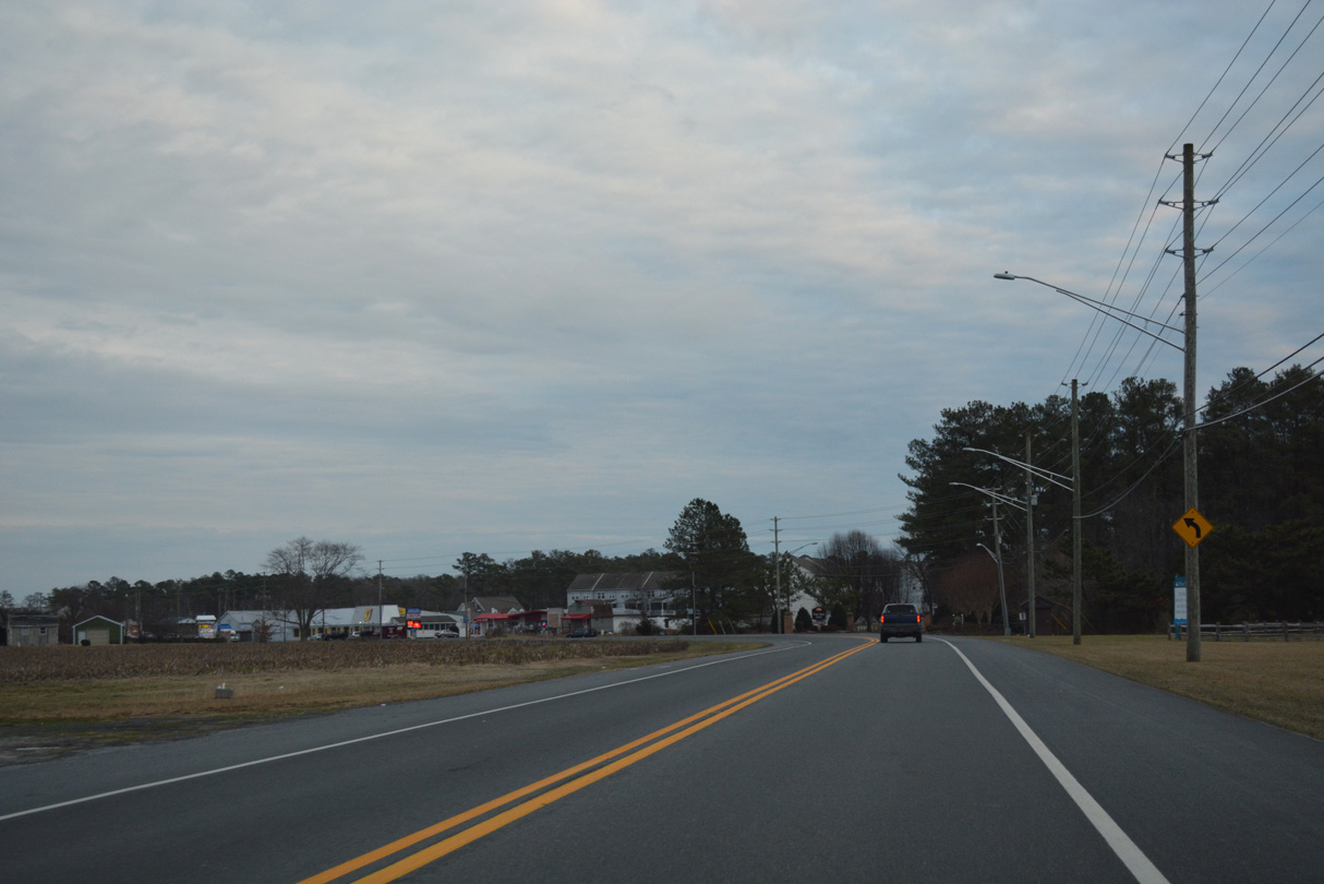
SR 23 extends east from SR 5 and 24 (John J. Williams Highway) along Long Neck Road.
01/16/17
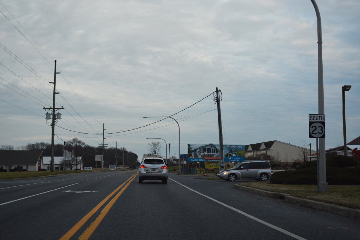
A succeeding traffic light operates at the southbound SR 23 intersection with School Lane south and Banks Road north. School Lane connects Long Neck Road with William Ritter Manor and an elementary school.
01/16/17
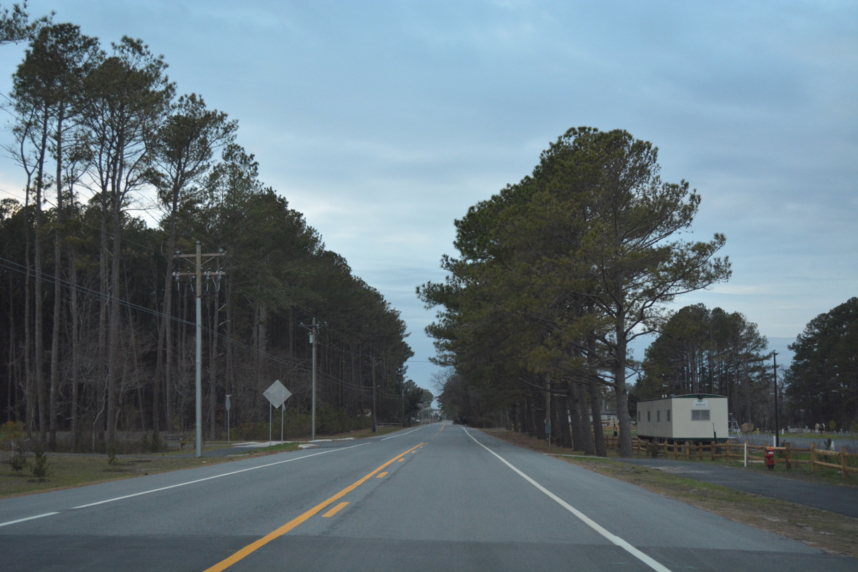
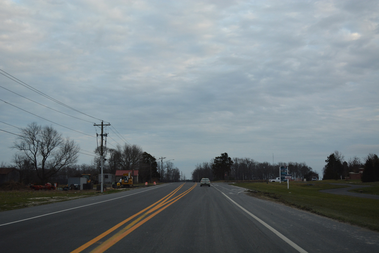
Long Neck Road passes between a mixture of industrial and retail businesses beyond School Lane. The final confirming shield appears on this stretch.
01/16/17
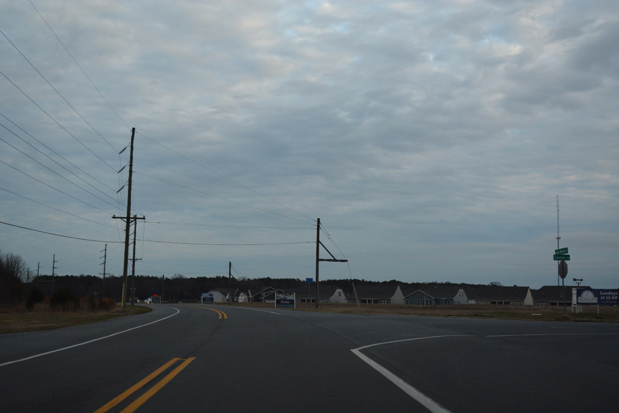
SR 23 winds east to western sections of the Pot-Nets manufactured home community.
01/16/17
Continuing east from Pot Nets Road, Long Neck Road plies across agricultural land south of Wilson Creek and Marsh.
01/16/17
White House Road spurs south from SR 23 to White House Point and the White House Beach community.
01/16/17

SR 23 traverses wetland areas south of Lee Joseph Creek ahead of Masseys Landing and easternmost reaches of Long Neck.
01/16/17
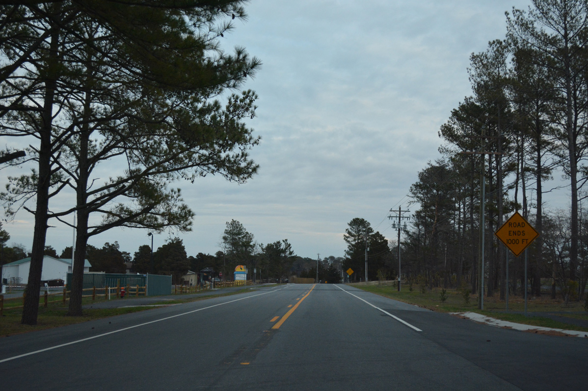
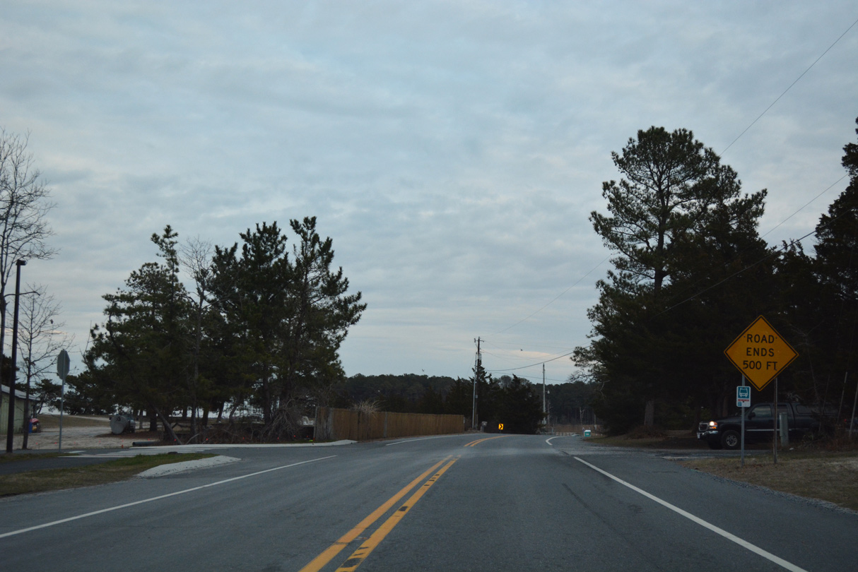
Road ends signs advise drivers of the pending conclusion of Long Neck Road after the Pot-Nets Dockside and Seaside communities.
01/16/17
New streets were added by 2016 at the Masseys Landing community both north and south of SR 23 just ahead of the roadway end.
01/16/17
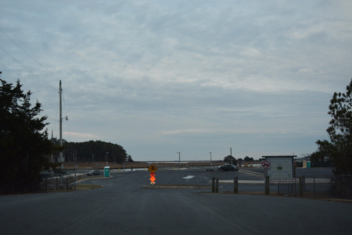
SR 23 ends at a cul-de-sac by the entrance to Massey's Landing Boat Ramp. Massey Ditch takes boaters south into Indian River Bay and north to Rehoboth Bay.
01/16/17
Photo Credits:
- Alex Nitzman: 01/16/17, 12/22/24, 12/24/24
Connect with:
Page Updated Monday December 01, 2025.