
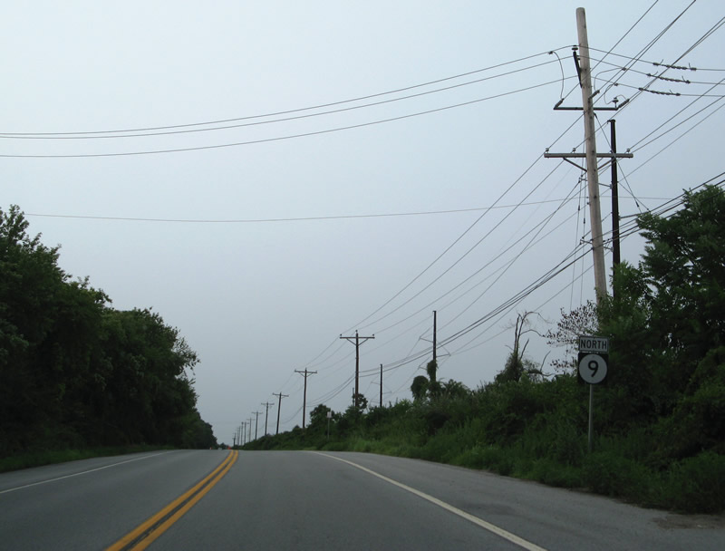
State Route 9 North - Delaware City to New Castle

 North
North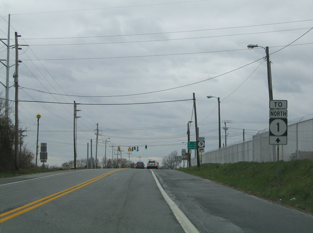
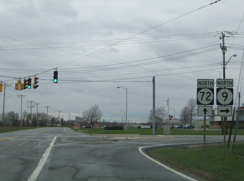
SR 9 curves west to the Delaware City refineries to meet Wrangle Hill Road (SR 72) west, Clarks Corner Road south and River Road north.
04/04/04
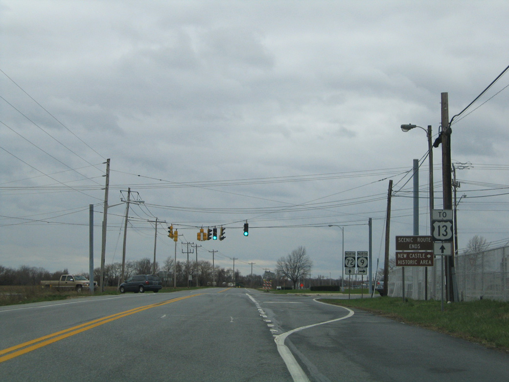
SR 9 turns north onto River Road as SR 72 begins and leads motorists westward to U.S. 13 and the SR 1 freeway at Wrangle Hill.
04/04/04
Clarks Corner Road (Rd 378) angles 2.11 miles southwest to Main Street in North St. Georges while SR 72 commences a 17.5 mile long route northwest toward Glasgow, Bear and the Upper Pike Creek Valley.
04/04/04
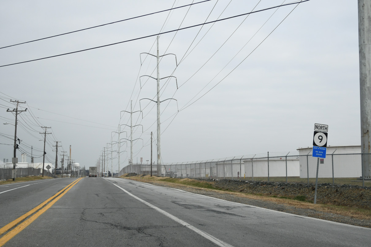
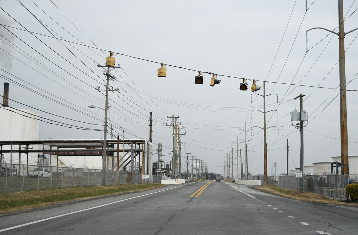
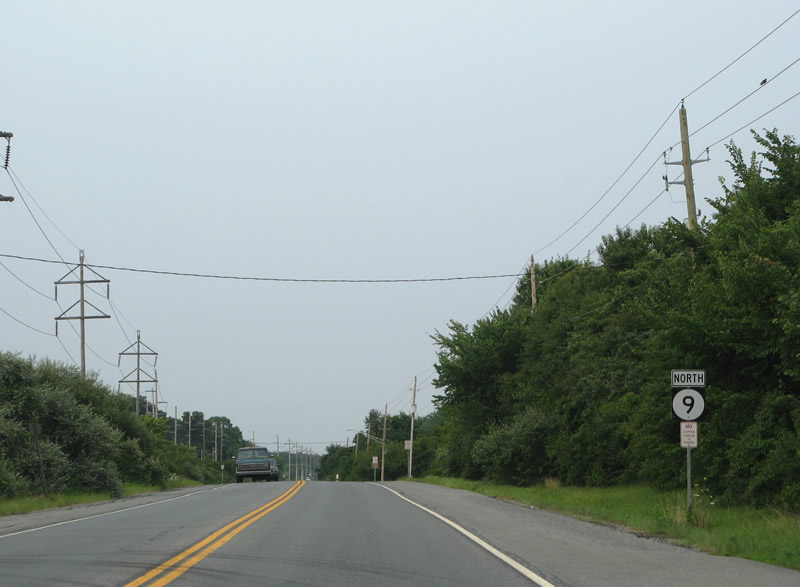
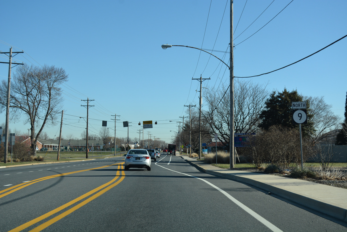
SR 9 (River Road) passes through the Delaware City refinery area north from Wrangle Hill Road to Red Lion Creek.
12/26/24
A SR 9 reassurance marker appears alongside River Road north of Red Lion Creek.
08/05/07
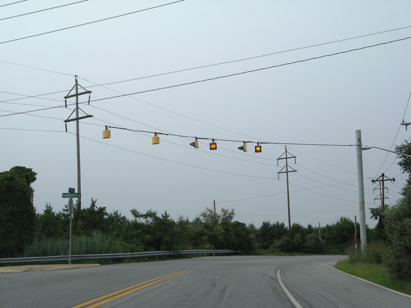
Hamburg Road links SR 9 (River Road) with U.S. 13 (Dupont Highway) at Tybouts Corner. Trucks headed north to New Castle are advised to use Hamburg Road west and Dupont Highway north in lieu of the ensuing stretch of SR 9.
08/05/07
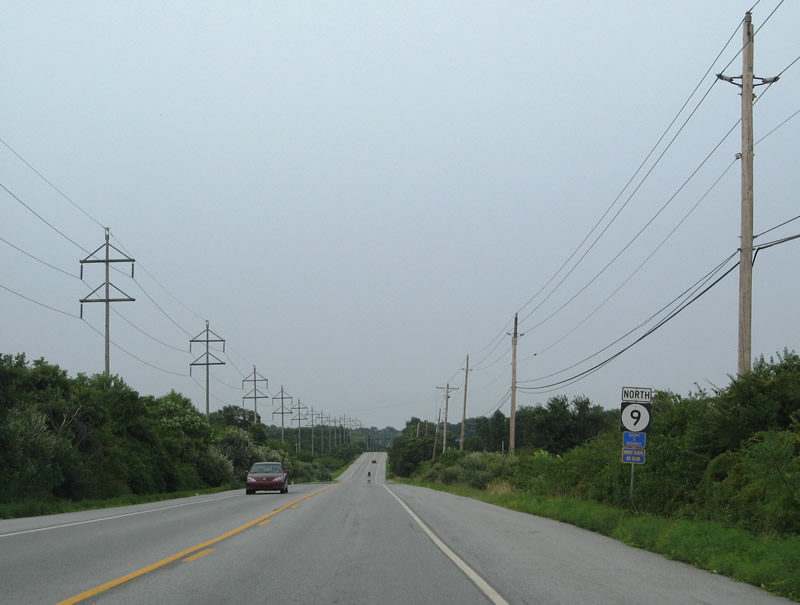
River Road turns more easterly from Hamburg Road between a quarry and the Delaware River at Hamburg Cove.
08/05/07
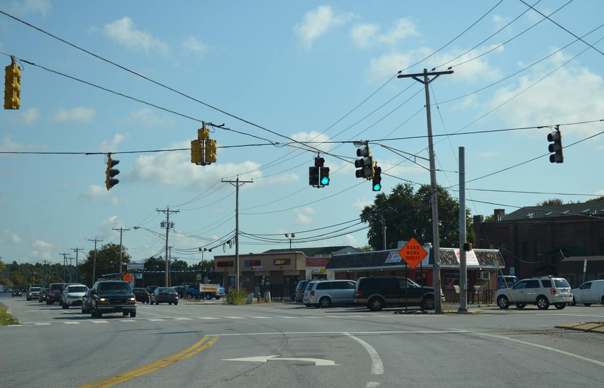
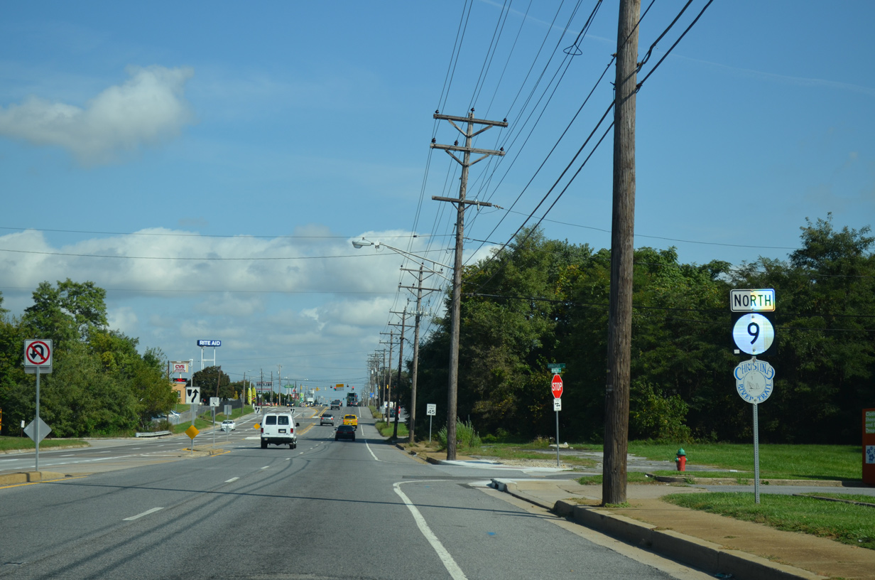
Federal School Lane connects SR 9 (River Road) with U.S. 13 (Dupont Highway) by the Buena Vista State Conference Center. The state route continues by Kirkwood Soccer Complex and Ommelanden Park.
08/05/07
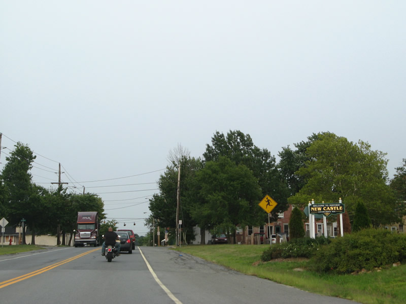
Welcome to New Castle sign posted ahead of Clymer Street. Drivers along SR 9 north enter the historic city at the crossing of Army Creek.
08/05/07
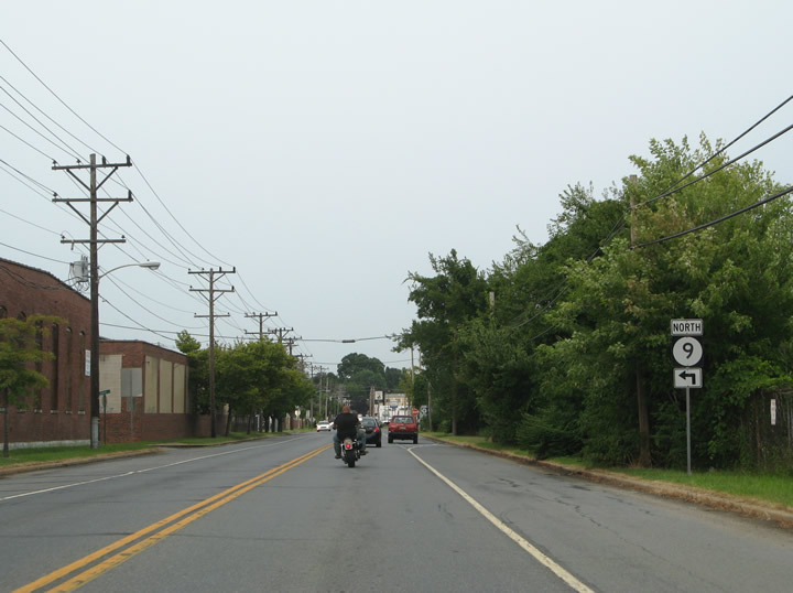
SR 9 turns northwest along Washington Avenue as part of its bypass of New Castle. The former alignment lined Seventh Street, South Street and Sixth Street to the historic district.
08/05/07
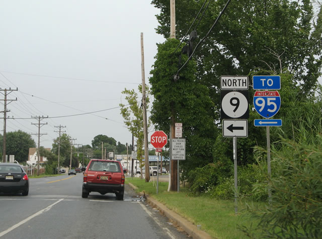
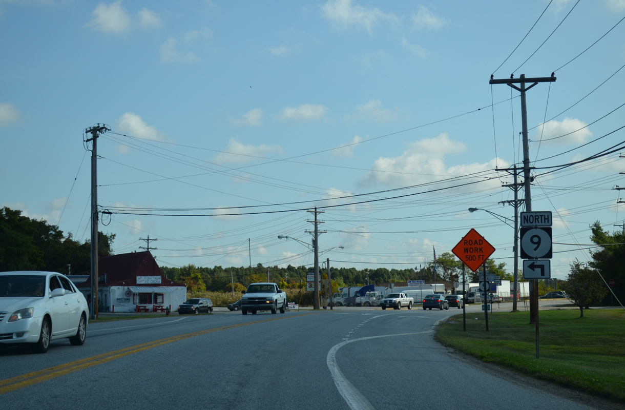
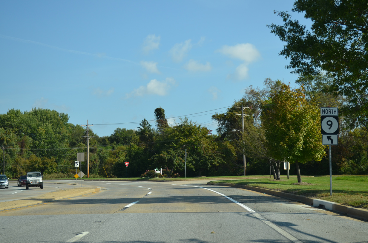
Washington Avenue takes SR 9, 0.57 miles north to SR 141 (Basin Road) and SR 273 (Frenchtown Road). SR 141 provides a direct route from New Castle to Interstate 95 near Newport.
08/05/07
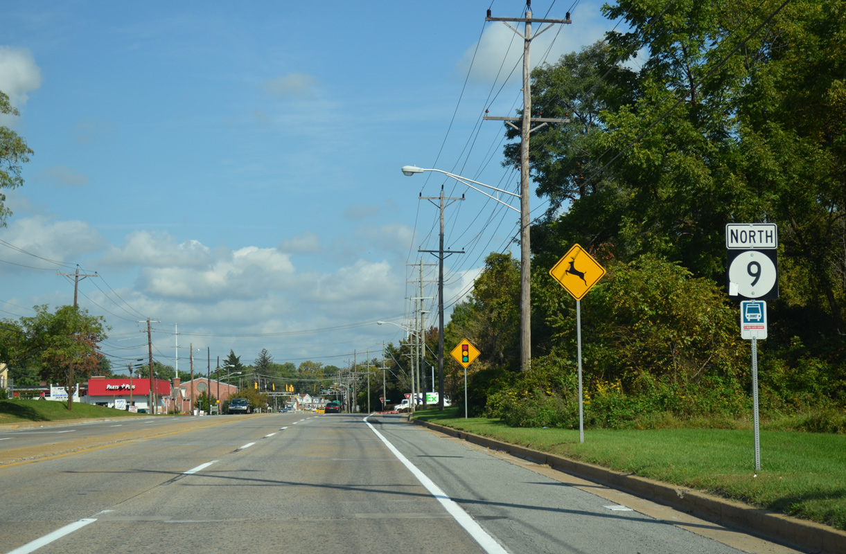
Delaware Street leads SR 9 east from Washington Avenue the joint termini of SR 141 and SR 273 along the north side of the New Castle street grid. SR 273 used to run alongside SR 9 east to Sixth Street. Most signs for the overlap were removed by 2014.
12/20/16
Chestnut Street curves SR 9 east from Delaware Street to Sixth Street at River Plaza Shopping Center. Delaware Street spurs southeast to Battery Park along the Delaware River.
10/03/14
SR 9 rejoins its pre-1987 alignment through New Castle at Chestnut and Sixth Streets.
10/03/14
Chestnut Street extends southeast from SR 9 and Sixth Street to Battery Park and the historic ferry landing taking U.S. 40 across the Delaware River to Pennsville, New Jersey.
10/03/14
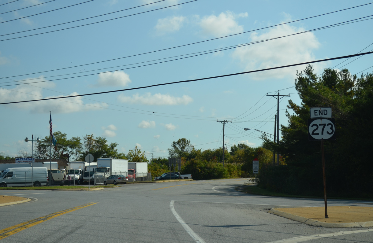
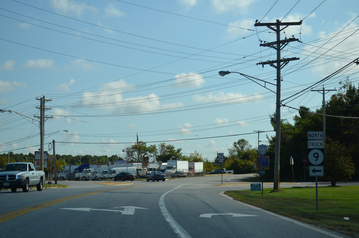
An end shield for SR 273 remains posted through 2016. The SR 9 and 273 overlap was created by 1987, but was overall redundant.
10/03/14
SR 9 (Sixth Street) crosses Narrow Dyke Canal and expands into a four lane arterial. Third Street merges with the state route as it turns northward onto Wilmington Road.
10/03/14
Wilmington Road runs through an industrial area to an at-grade crossing with the Norfolk Southern Railroad.
10/03/14
Anchor Mill Road spurs east from this traffic light along SR 9 (Wilmington Road) at Municipal Lane to Twin Spans Business Park.
10/03/14
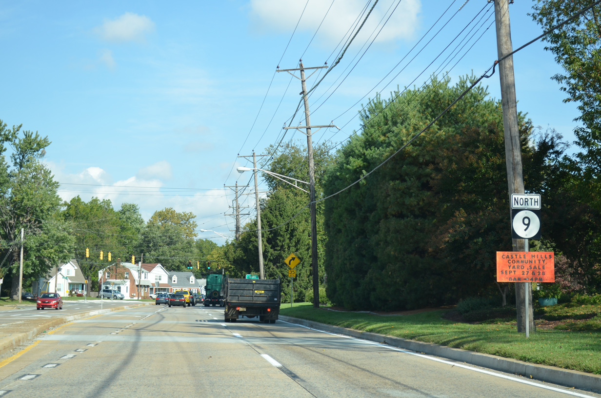
Beyond the NS line, SR 9 (Wilmington Road) approaches Moores Lane at the Baldton and New Castle Manor communities.
10/03/14
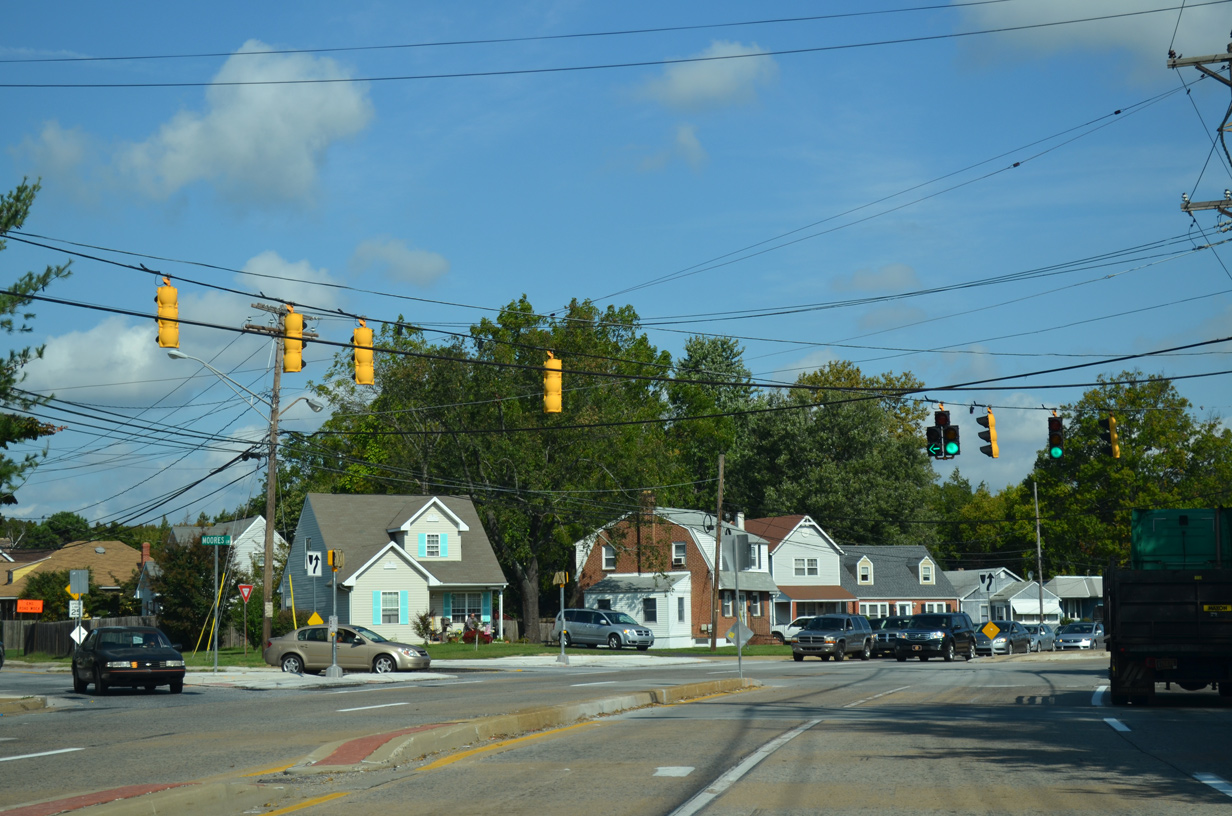
Moores Lane branches west from SR 9 (Wilmington Road) to Boulden Interchange Park, Boulevard Boulevard west to U.S. 13/40 (Dupont Highway) and Southgate Industrial Center.
10/03/14

Buttonwood Avenue west and Castle Hill Drive converge at a stoplight with SR 9 (Wilmington Road) from the respective Buttonwoods and Castle Hills neighborhoods.
10/03/14
SR 9 leaves the New Castle city limits and becomes New Castle Avenue beyond Arbutus Avenue.
10/03/14
Landers Lane angles northwest from SR 9 (New Castle Avenue) to the Swanwyck Gardens and Landers Park communities south of Interstate 295. Riverview Drive and Killoran Drive, a north side frontage road, tie into the intersection with SR 9 from the Collins Park community to the east.
10/03/14
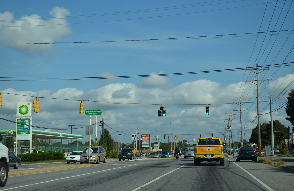
Stamm Boulevard follows at the succeeding northbound signal to connect SR 9 with Crossroads Shopping Center and Swanwyck Estates.
10/03/14
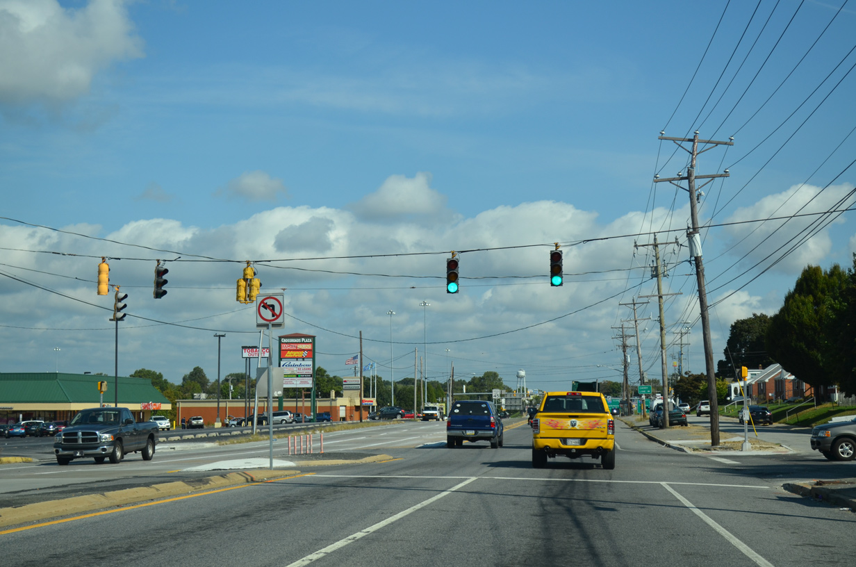
Rodney Drive loops north from Riverview Drive through Collins Park to intersect SR 9 next. The adjacent subdivision dates back to 1948.
10/03/14
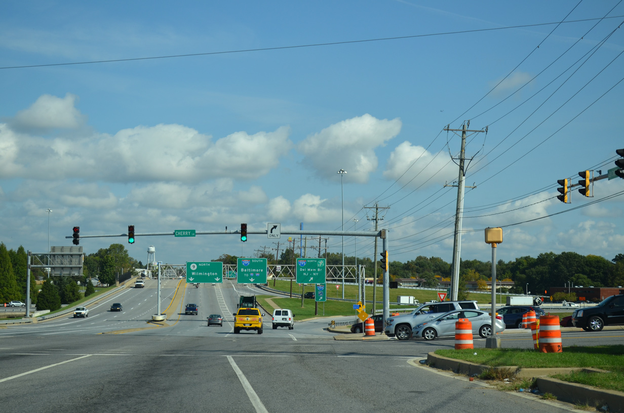
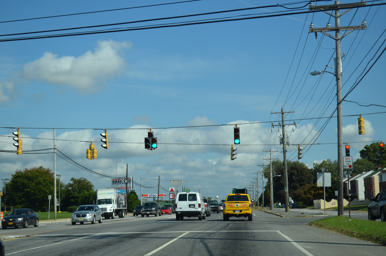
Cherry Lane stems east from SR 9 (New Castle Avenue) and the I-295 northbound off-ramp to the Delaware War Memorial and Riveredge Industrial Park. Mast arm traffic signals replaced a span wire assembly here between 2000 and 2004.
10/03/14

New Castle Avenue enters a full cloverleaf interchange with Interstate 295 & U.S. 40. The exchange was reconstructed between 1998-2000 with a new bridge deck, pavement and overhead signs.
10/03/14
A collector distributor roadway runs along SR 9 north for the I-295 ramps and the access road to the Delaware River and Bay Authority Administrative (DRBA) offices.
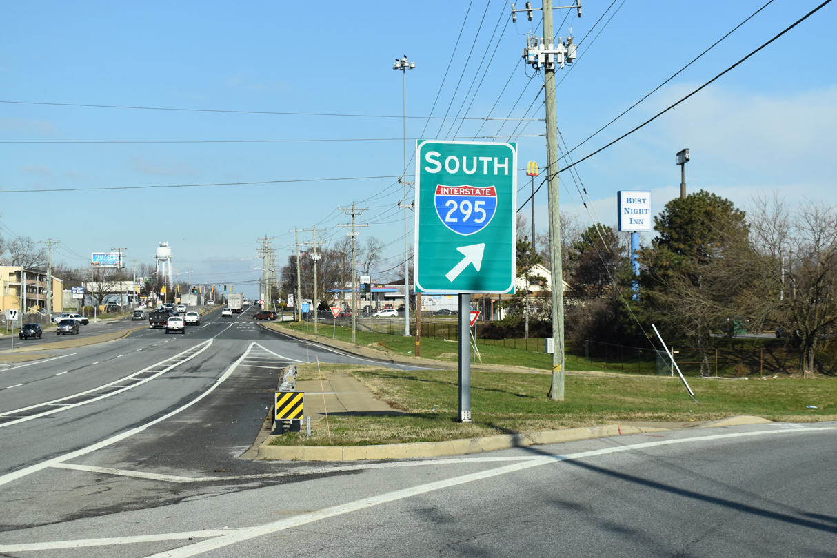
10/03/14
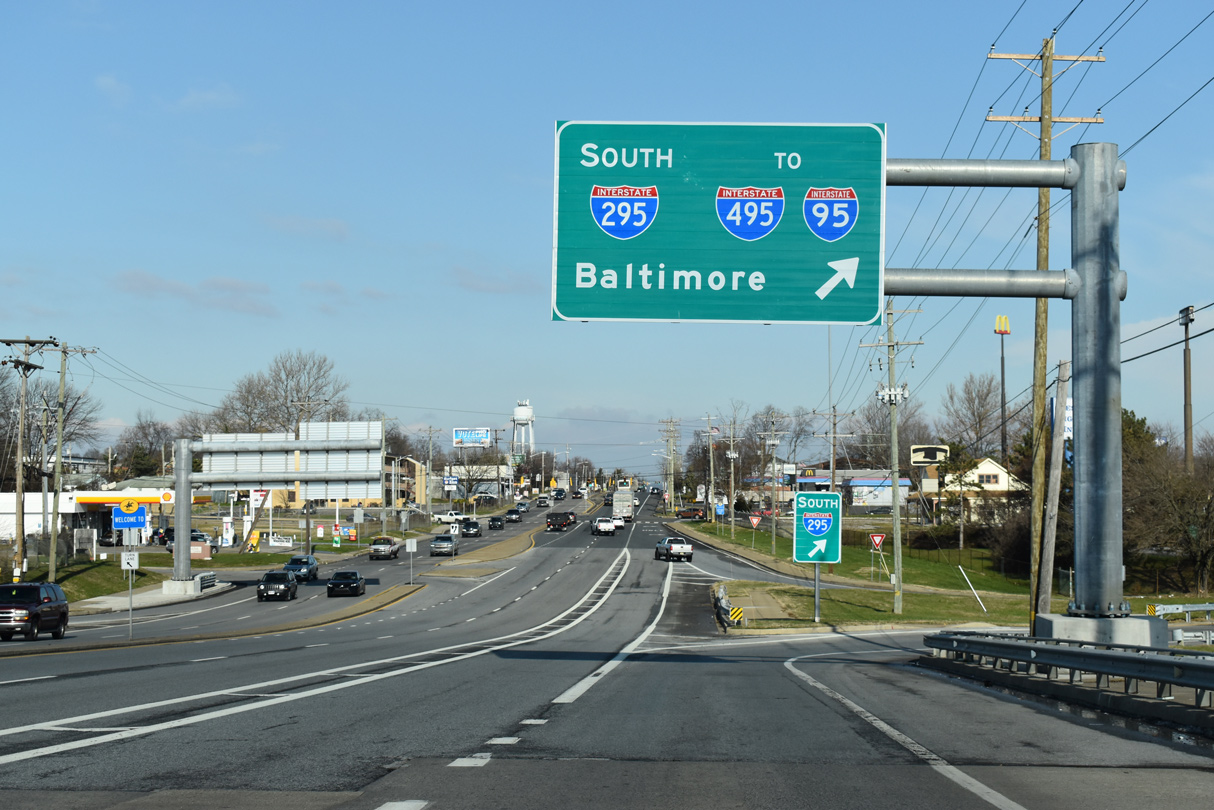
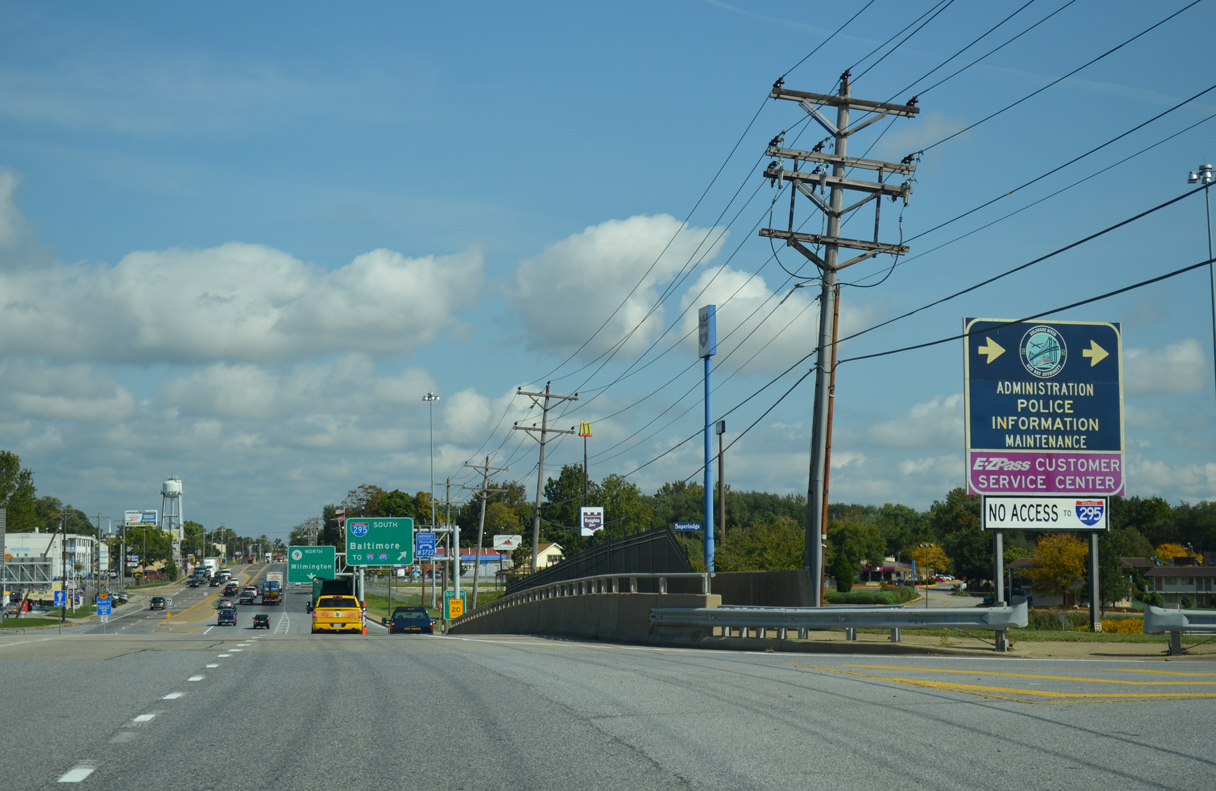
SR 9 northbound at the loop ramp for I-295 south / U.S. 40 west. I-295 south separates with U.S. 40 west at the nearby Farnhurst interchange and merges with I-95 south in 2.5 miles.
12/22/20
SR 9 (New Castle Avenue) leaves the exchange with I-295 and the Delaware Memorial Bridge by the older suburbs of Garfield Park and Holloway Terrace.
12/22/20

Photo Credits:
- Alex Nitzman: 04/04/04, 10/03/14, 12/20/16, 12/22/20, 12/26/24
- AARoads: 08/05/07
Connect with:
Page Updated Tuesday January 07, 2025.