
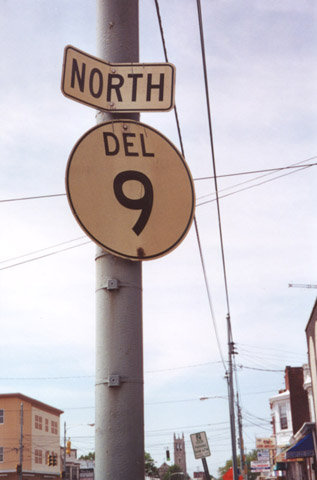
State Route 9 North - Wilmington

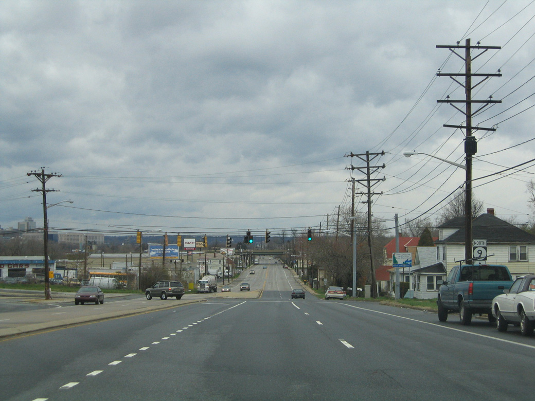
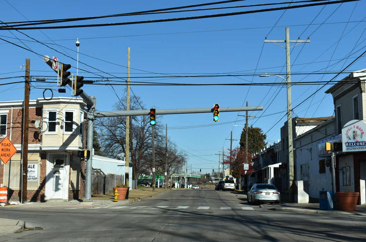
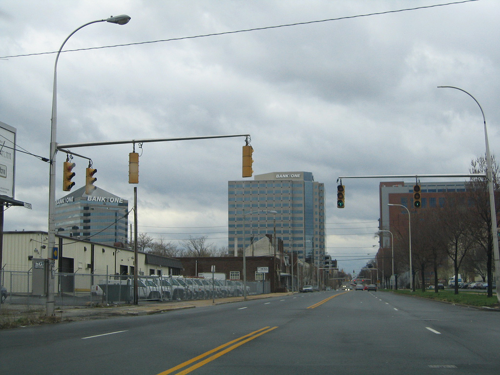
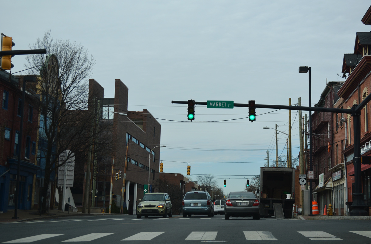
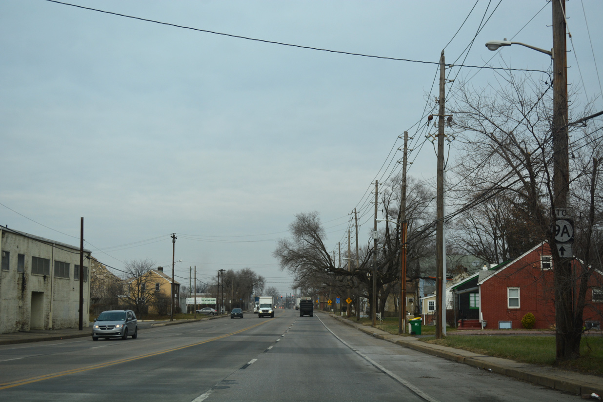
The landscape along New Castle Avenue becomes more industrial as SR 9 lowers to intersect Rogers Road (Rd 369). Rogers Road provides a direct link to U.S. 13 Business (S Market Street) toward Downtown Wilmington.
04/04/04
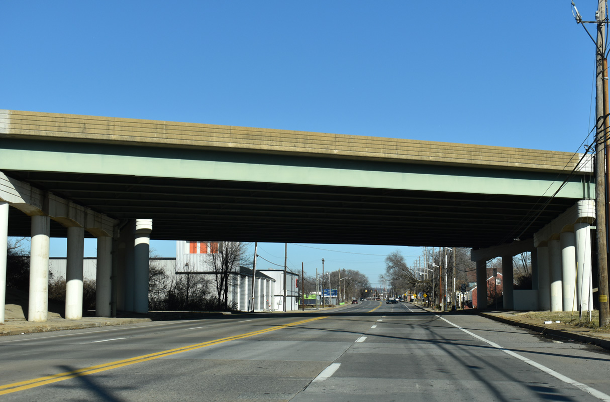
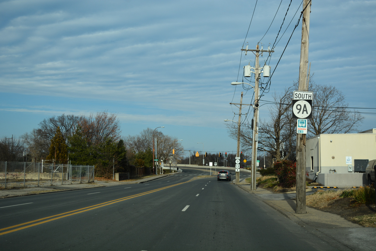
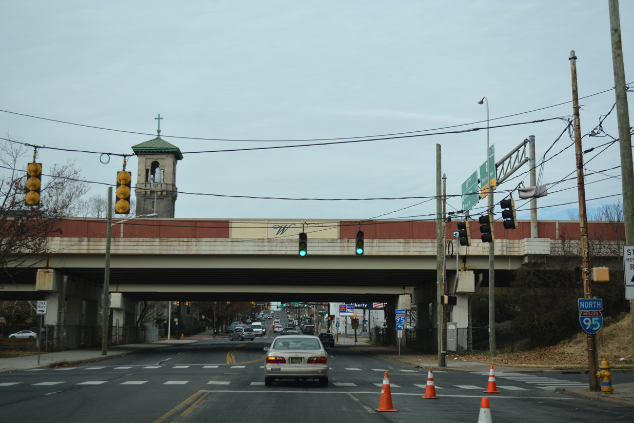
SR 9 (New Castle Avenue) passes under Interstate 495 ahead of SR 9A (Terminal Avenue).
12/24/25
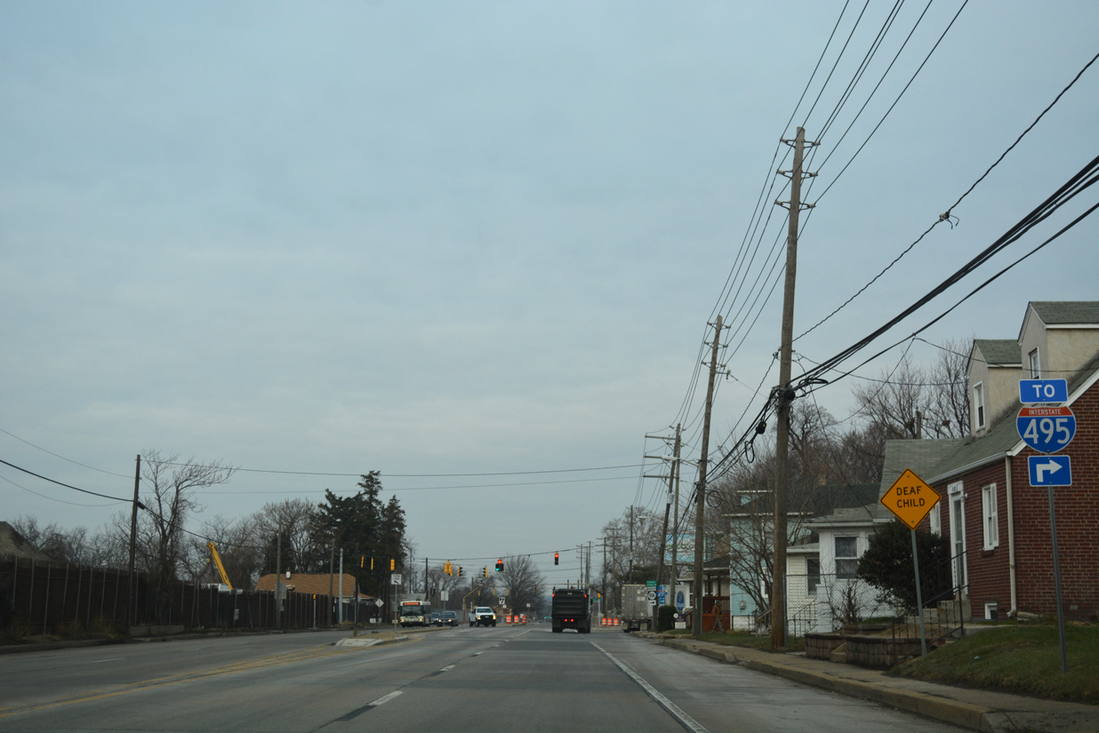
There is no direct access between New Castle Avenue and I-495, instead motorists are directed onto Terminal Avenue to a nearby parclo interchange with the freeway.
12/24/25
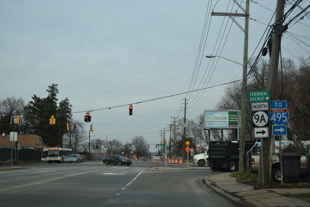
SR 9A loops east from SR 9 (New Castle Avenue) along Terminal Avenue to Interstate 495 and the Port of Wilmington, and north back to SR 9 via Christina Avenue.
12/24/25
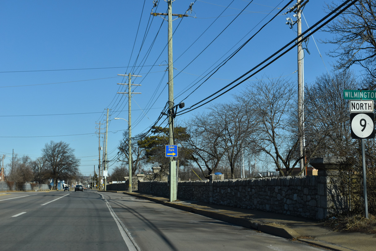
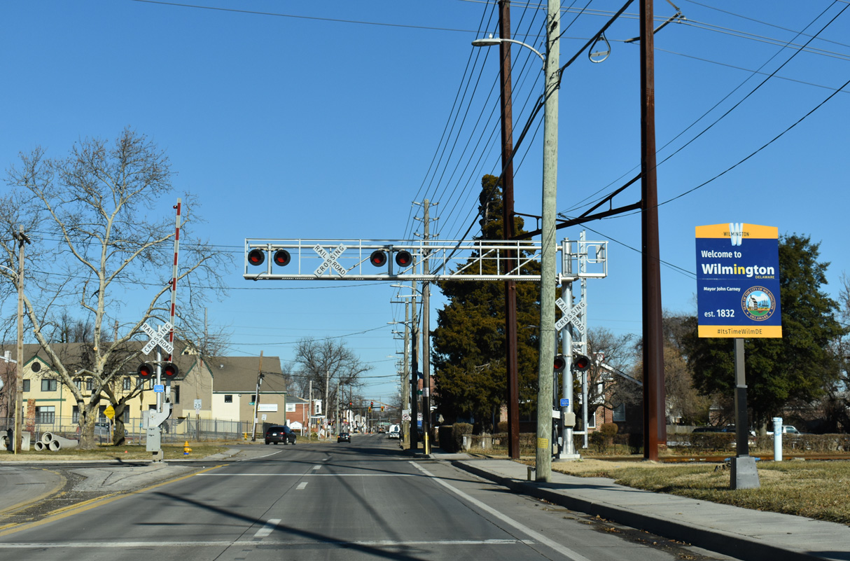
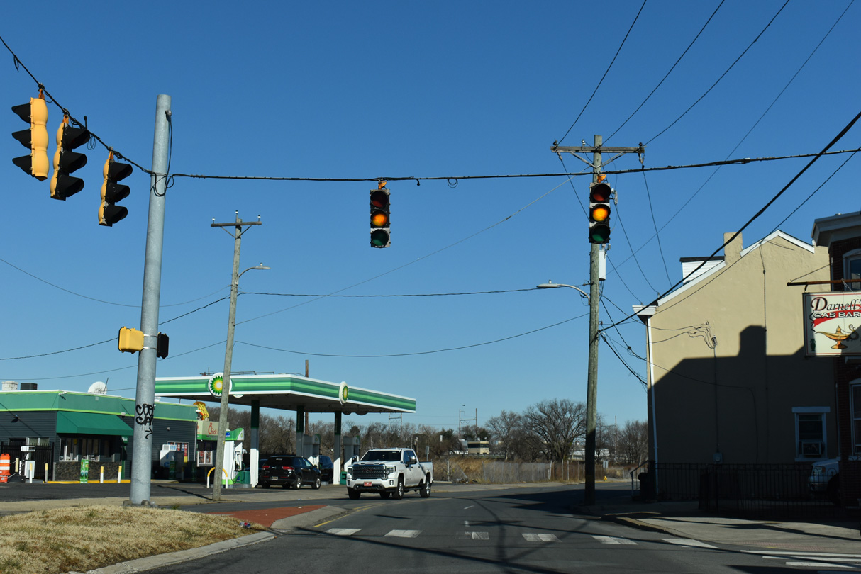
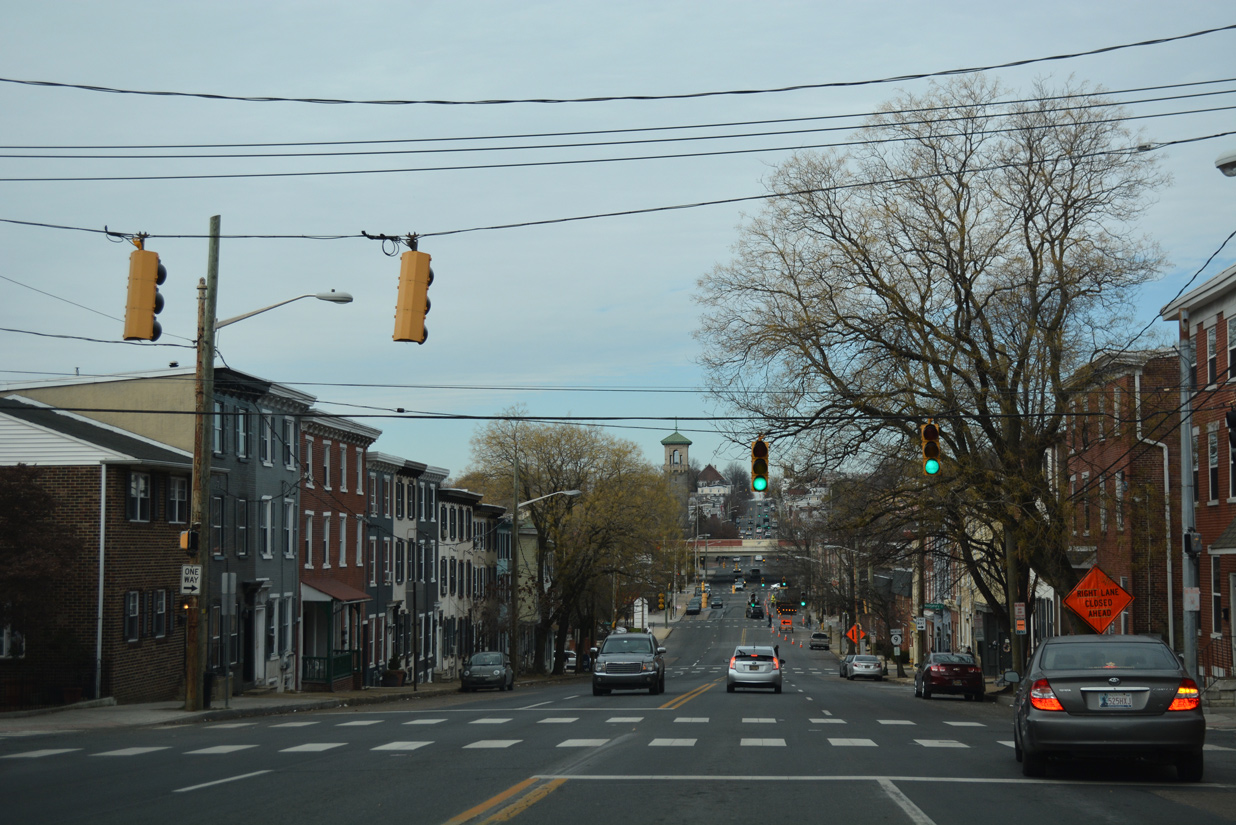
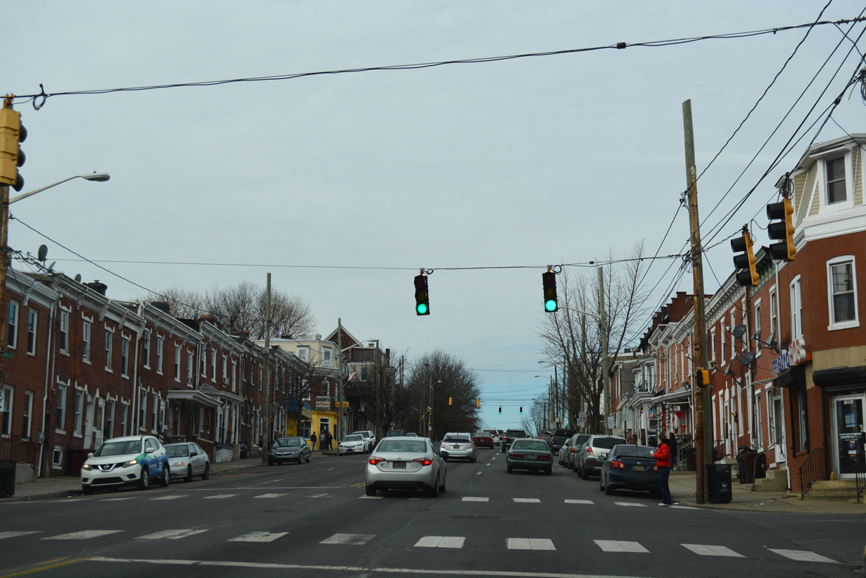
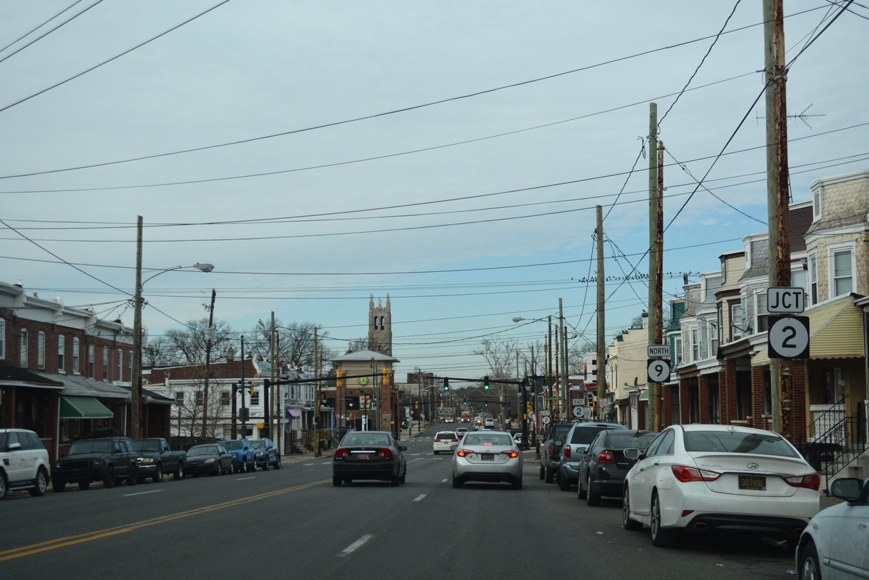
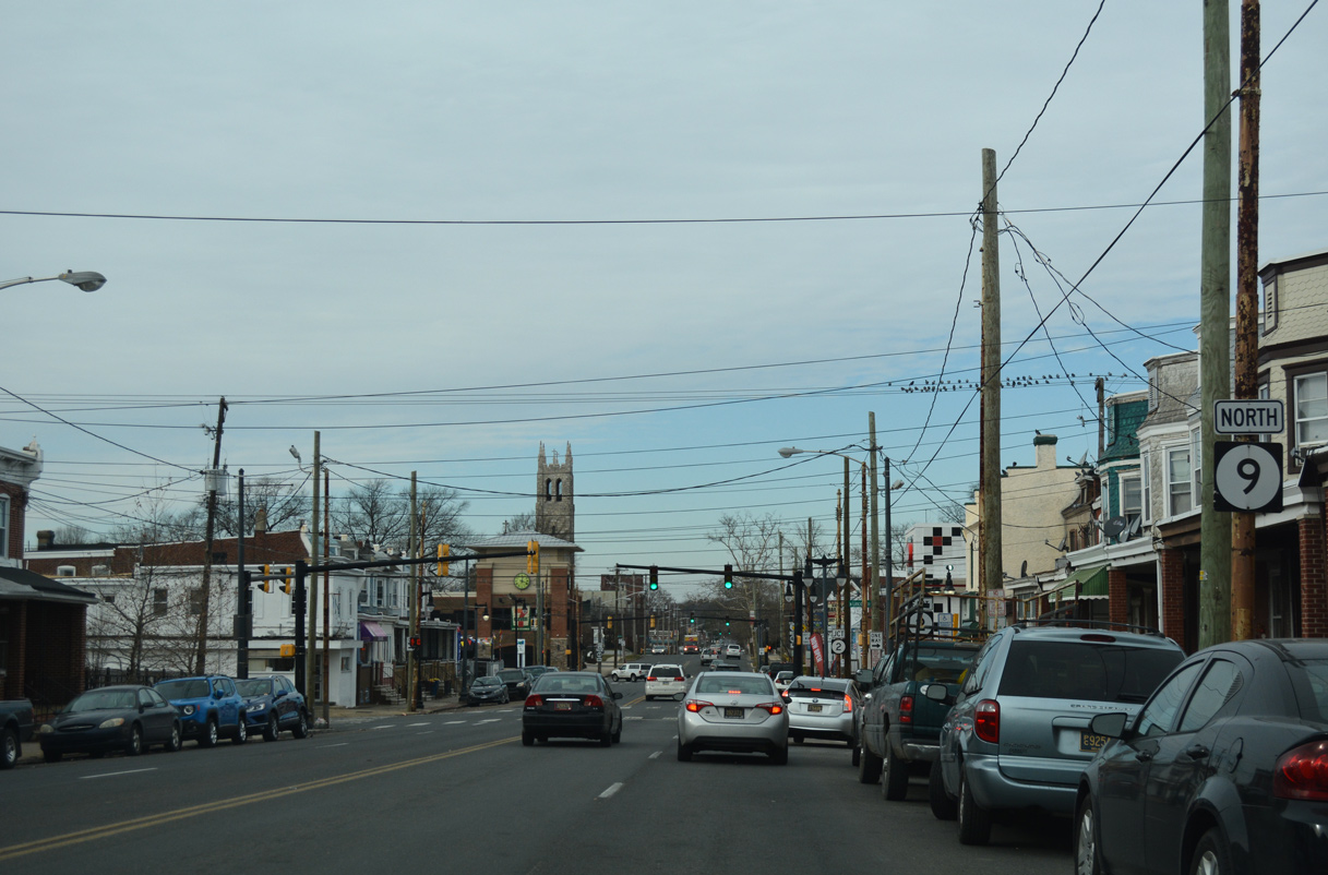
SR 9 (New Castle Avenue) north enters the Wilmington city limits just north of SR 9A (Terminal Avenue) at Eden Park.
12/24/25
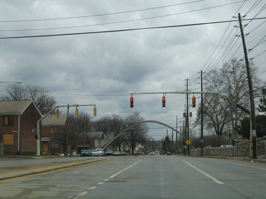
Vintage mast arm signals formerly along SR 9 (New Castle Avenue) at Eden Park and Claymont Street west. The remnant pedestrian bridge in the distance was eventually demolished. Structures to the west were razed as well.
04/04/04
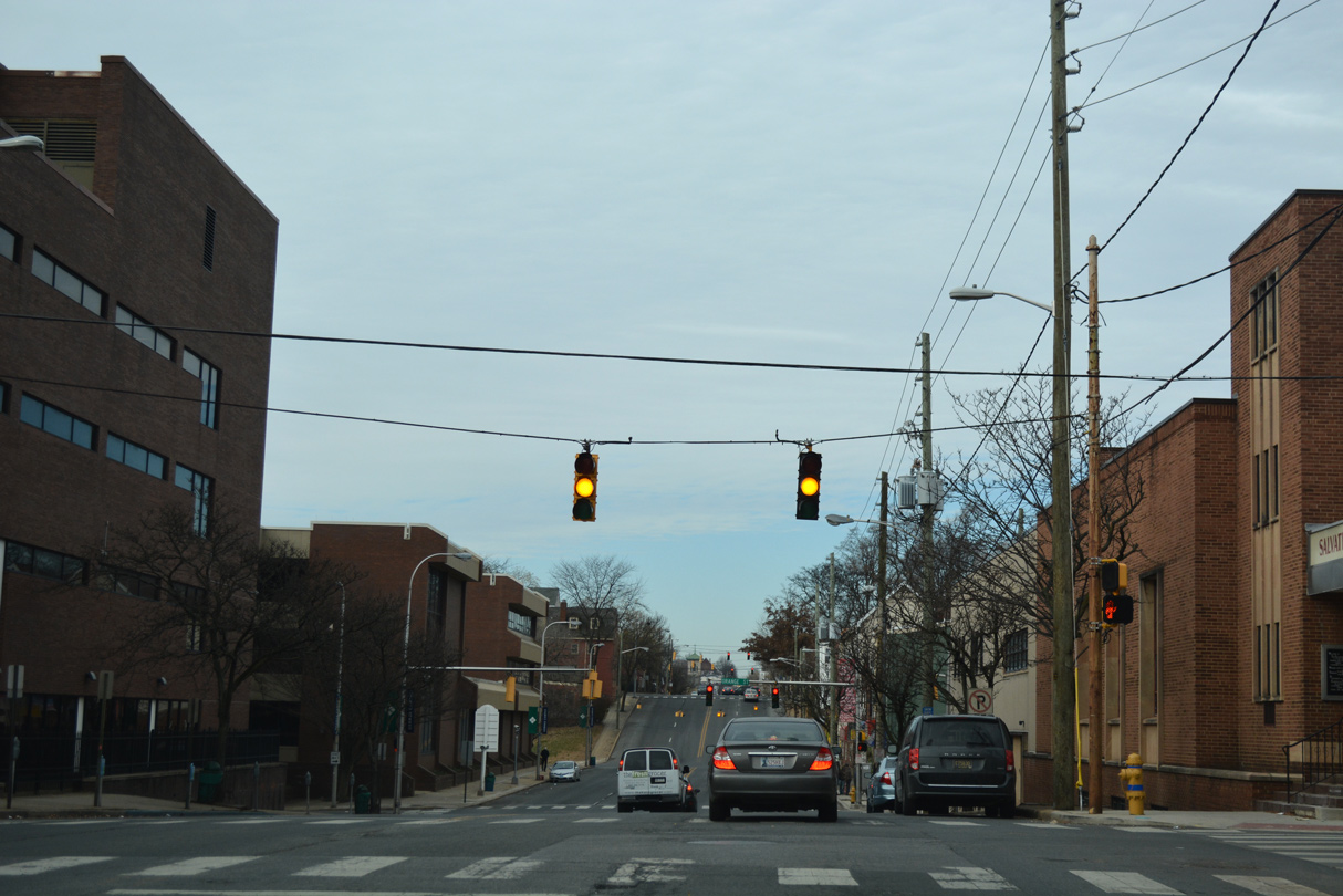
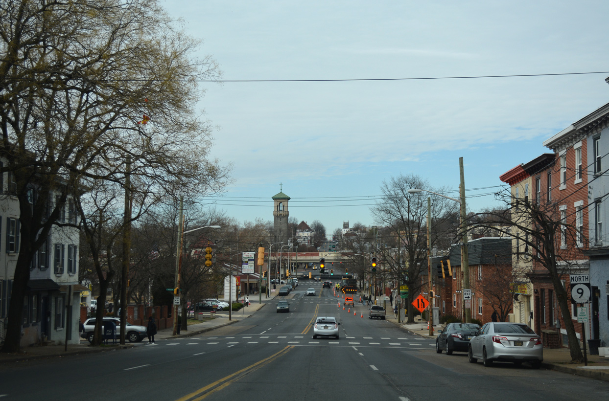
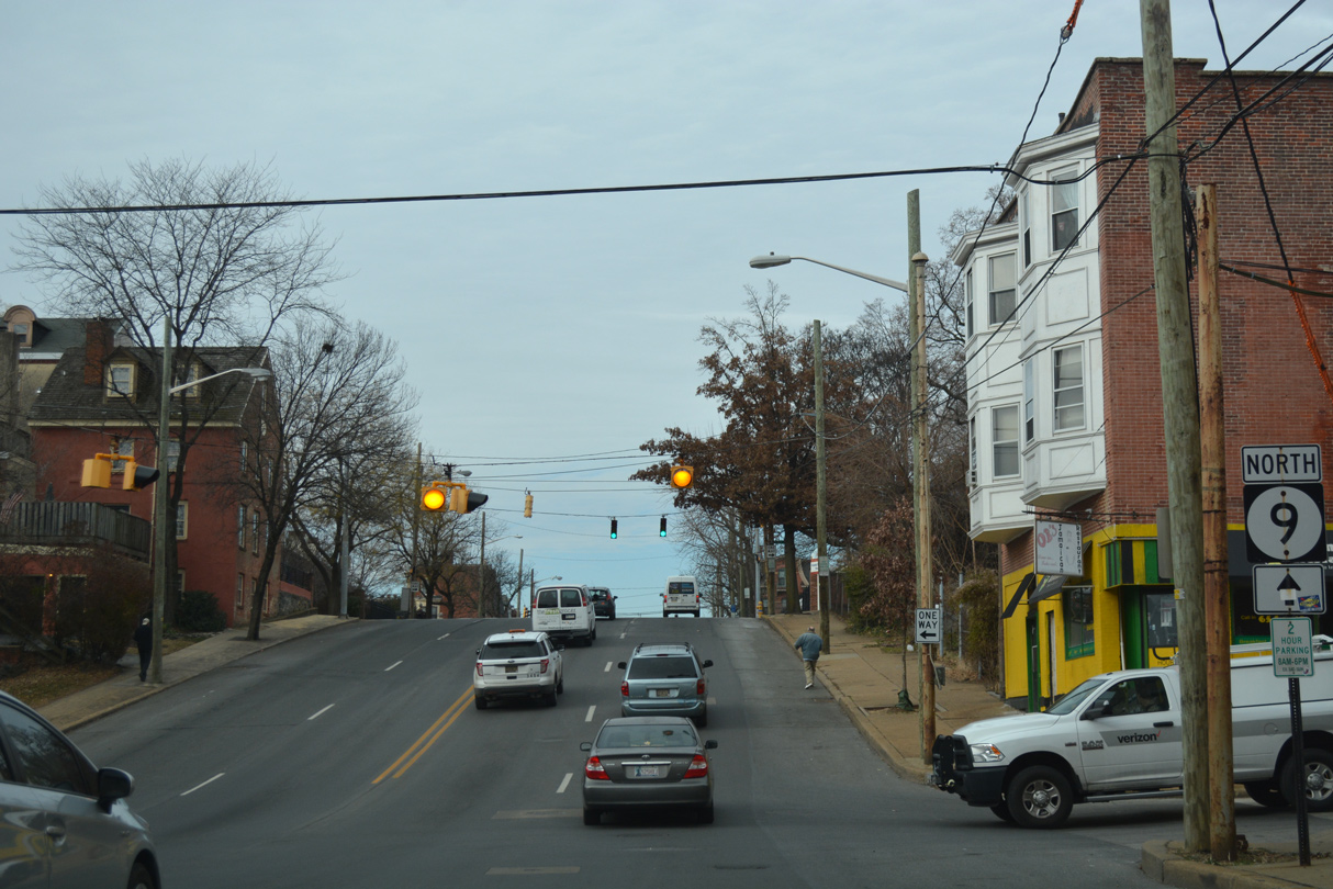
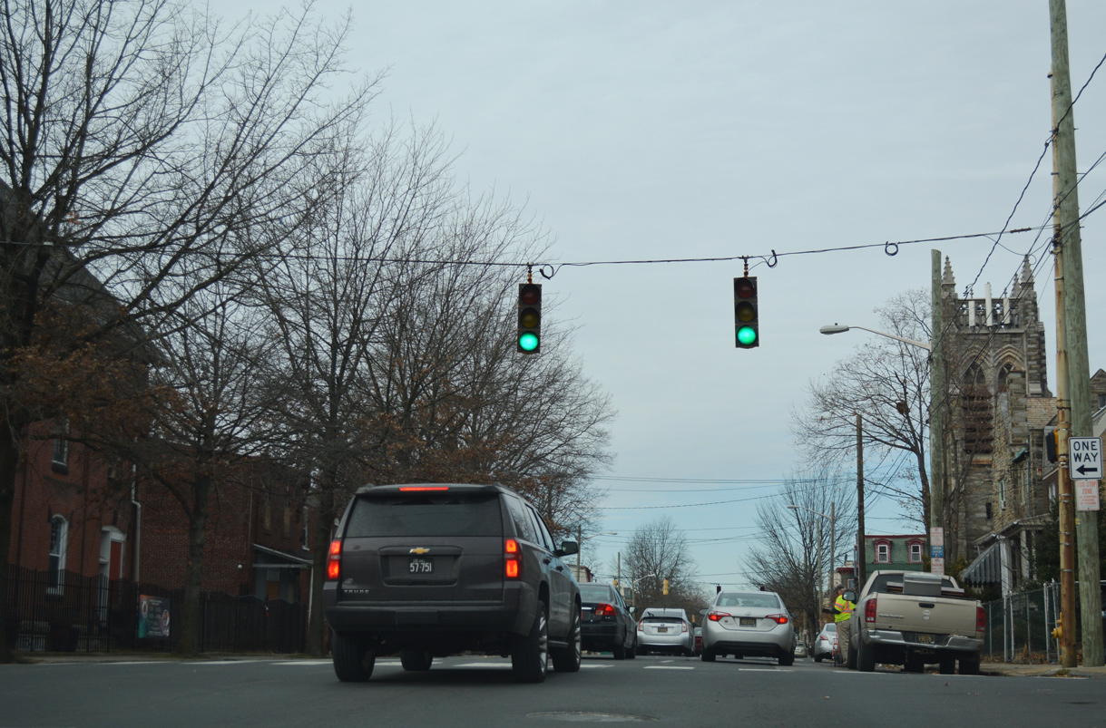
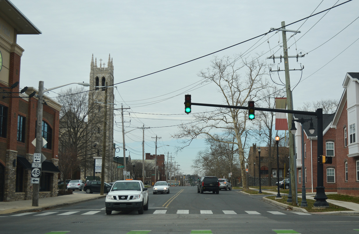
SR 9 (New Castle Avenue) switches to one-way traffic northbound at D Street. U.S. 13/SR 9 southbound follow Heald Street to the west while northbound U.S. 13 combines with SR 9 (New Castle Avenue) north from D Street east.
12/24/25
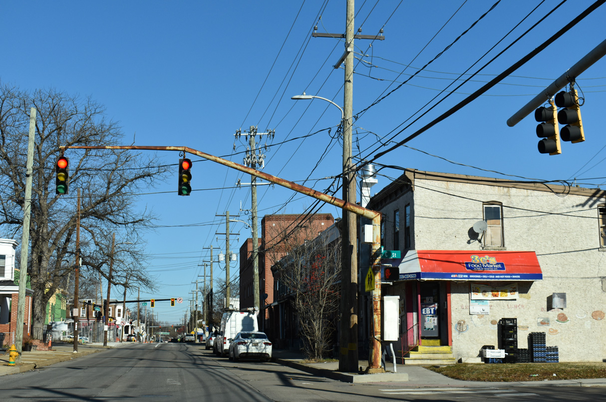
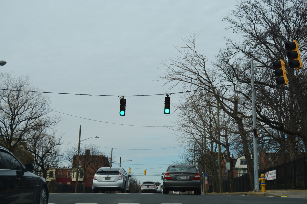
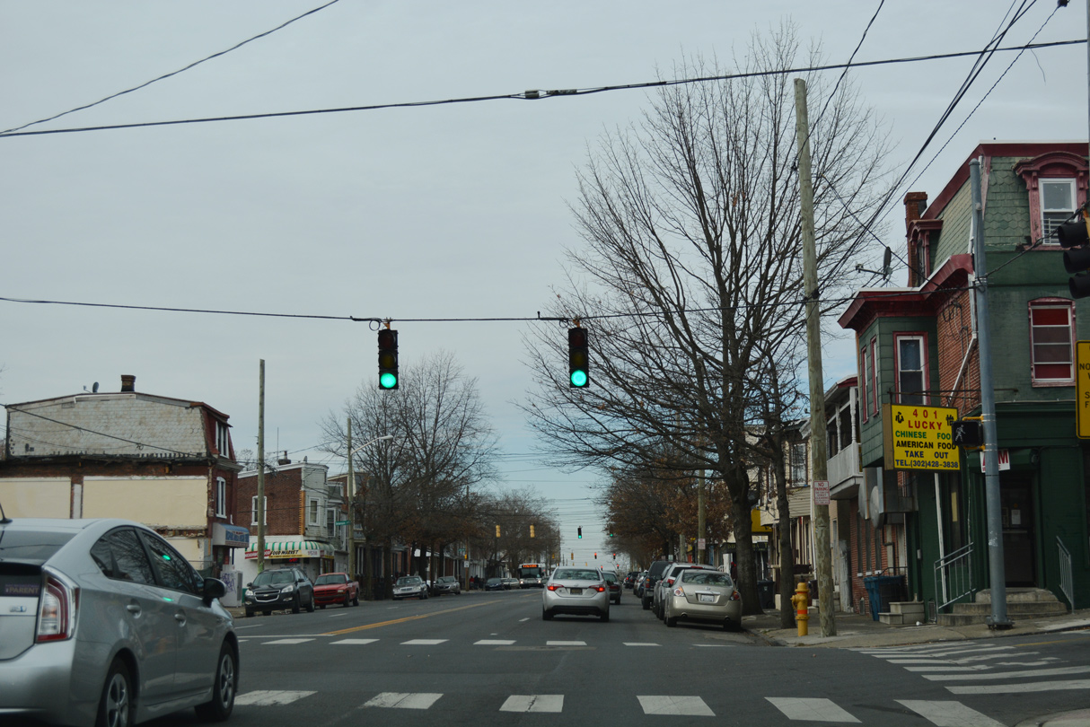
New Castle Avenue northbound at C Street. U.S. 13/SR 9 overlap four blocks through the Southbridge neighborhood in Wilmington.
12/24/25
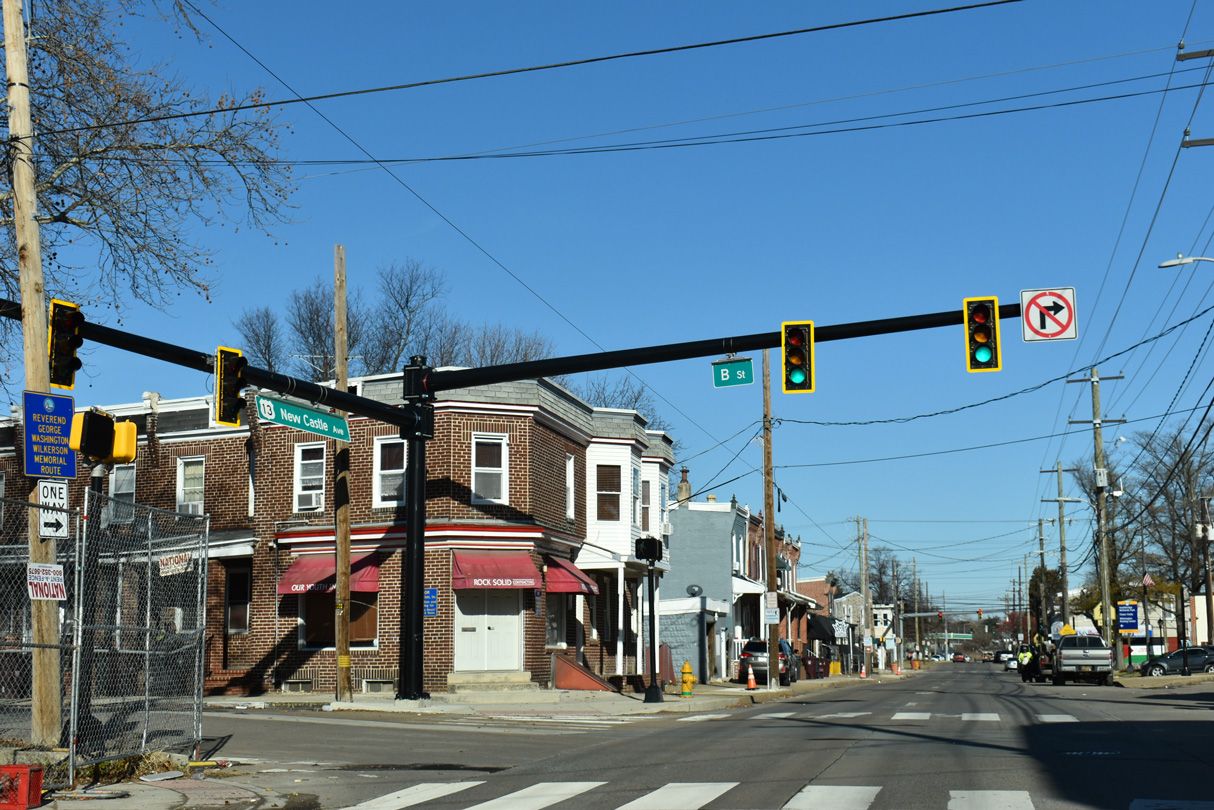
B Street flows west from Claymont Street near Hicks Park to a public housing complex at Townsend Street.
12/24/25
A Street branches west from SR 9A (Christiana Avenue) 1.02 miles to U.S. 13 Business (Market / Walnut Streets).
12/24/25
Lobdell Street intersects New Castle Avenue adjacent to where U.S. 13/SR 9 north shift onto Heald Street.
12/24/25
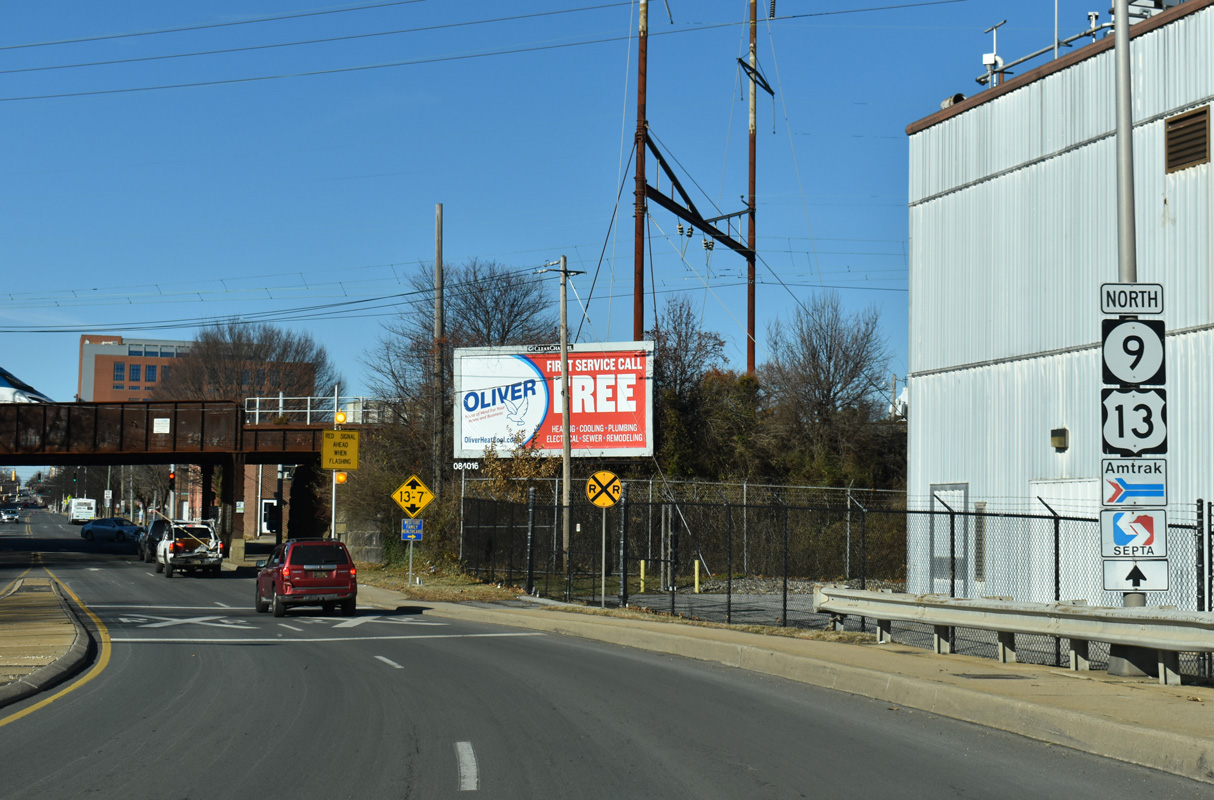
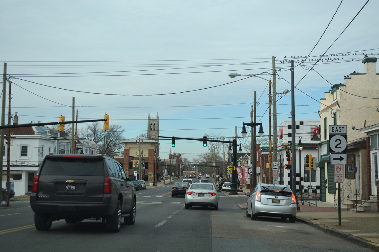
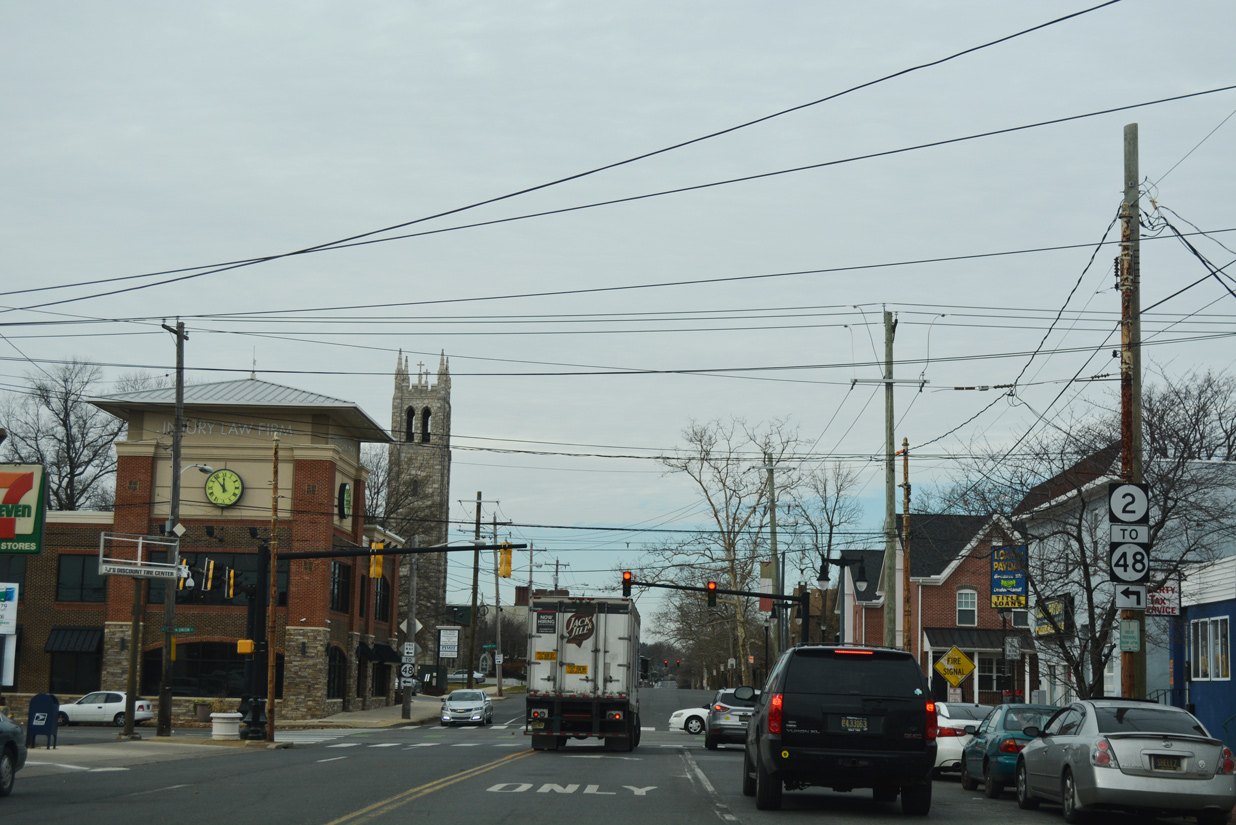
SR 9A (Christina Avenue) angles southeast from U.S. 13/SR 9 (Heald Street) at Southbridge to the Port of Wilmington and Terminal Avenue. The lone shield referencing the north end of SR 9A on Heald Street north was removed in 2020.
12/20/17
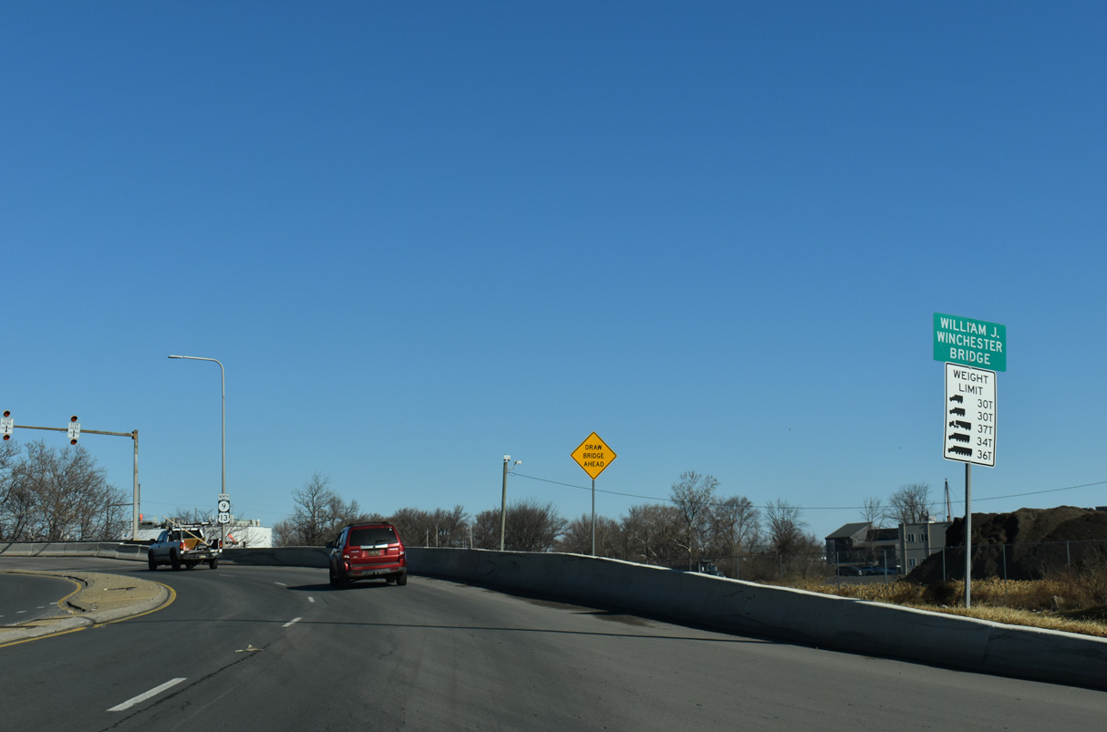
U.S. 13/SR 9 north curve west from Heald Street across the Christina River over the William J. Winchester Bridge.
12/24/25
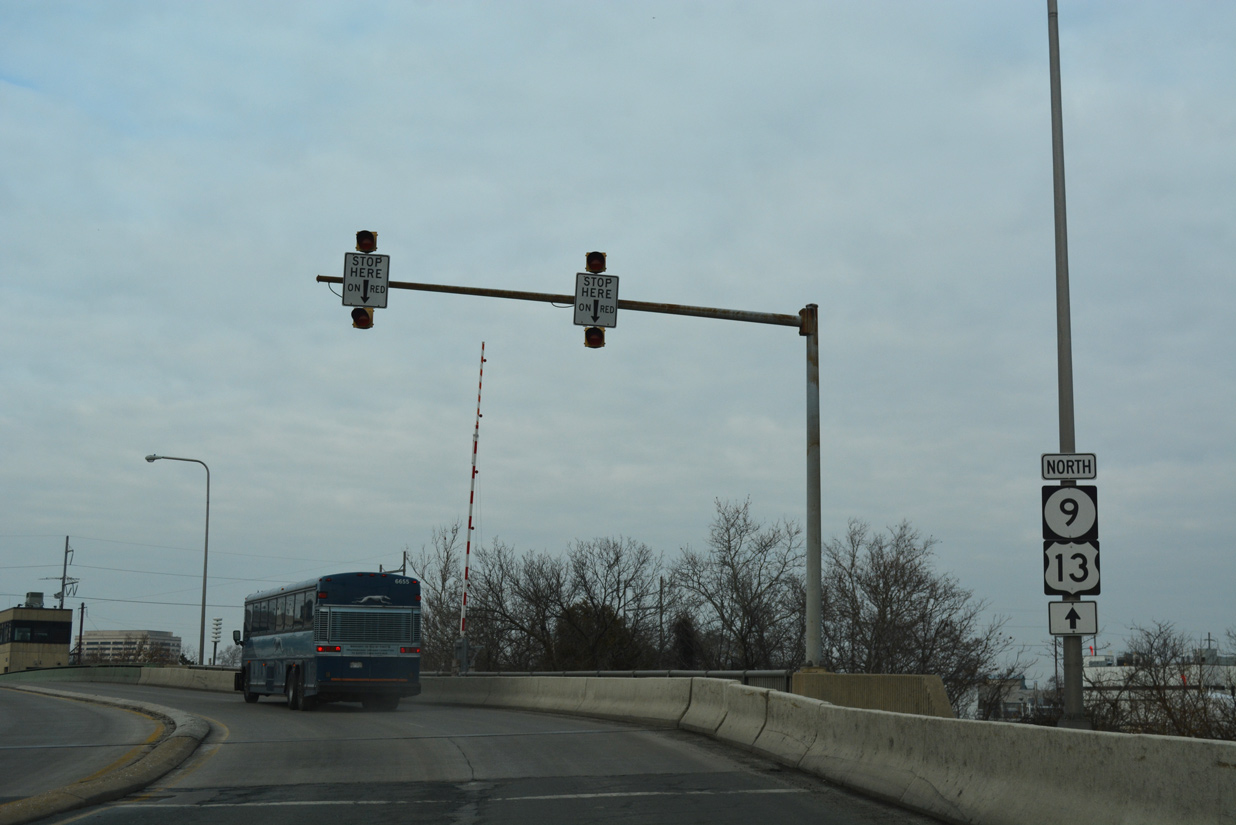
The William J. Winchester Bridge leads U.S. 13/SR 9 north onto 4th Street west ahead of their separation at Church Street.
12/18/17
12/24/25
Reassurance markers precede the northern turn of U.S. 13 onto Church Street from SR 9 (4th Street). The separation is otherwise unmarked.
12/24/25
U.S. 13 follows the couplet of Church Street northbound and Spruce Street southbound through the East Side community between 4th and 11th Streets.
12/24/25
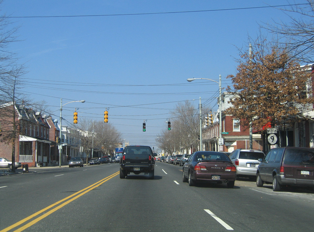
SR 9 (4th Street) northbound at Spruce Street (U.S. 13 south). All Eagle Flatback signals at 4th/Spruce Streets were eventually replaced. The mast arm for SR 9 north was replaced with a span wire assembly by 2014.
04/04/04

A SR 9 shield assembly stands along 4th Street west ahead of Lombard Street. Lombard Street flows south from the Upper East Side community to Front Street at Wilmington Industrial Park.
12/20/17
Poplar Street is discontinuous at 4th Street. The segment south of this signal is restricted as an access road for the Wilmington Police Department. A parking lot for an adjacent apartment complex ties in from the north.
12/20/17
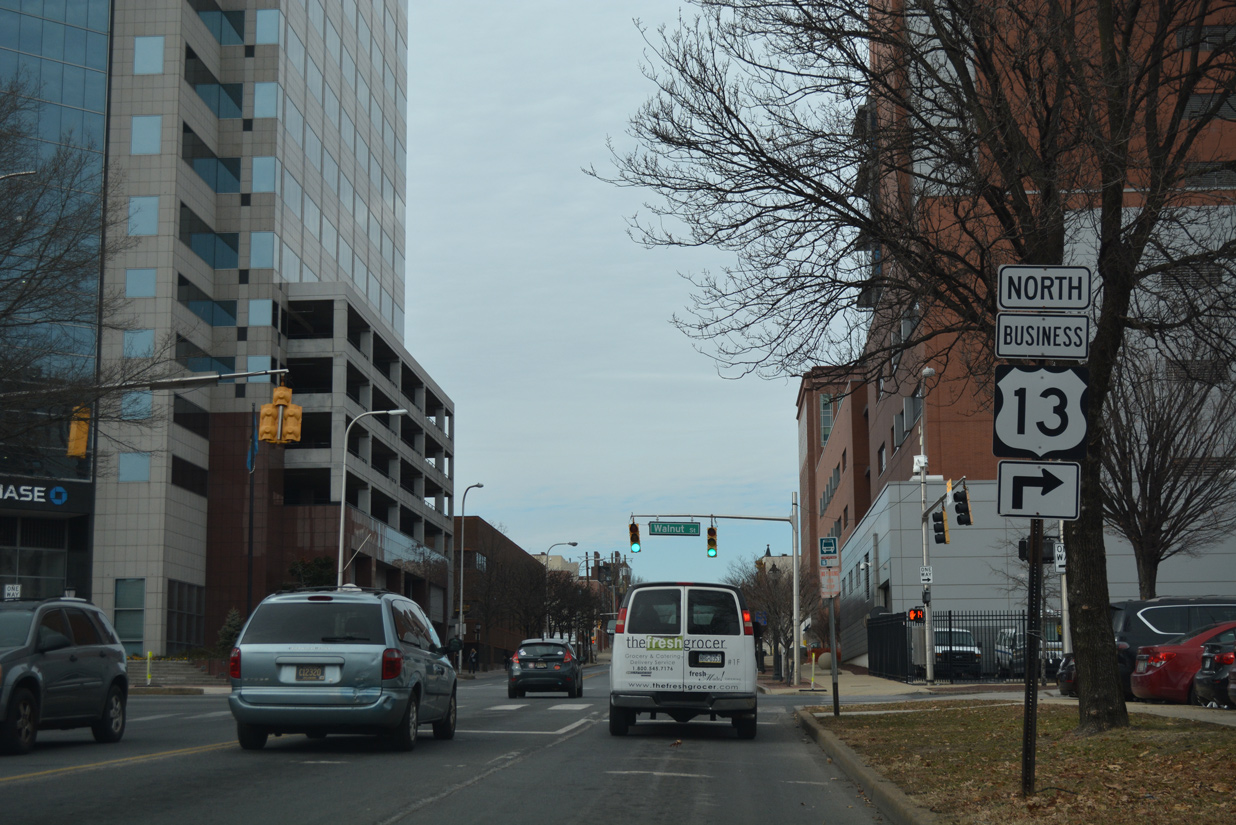
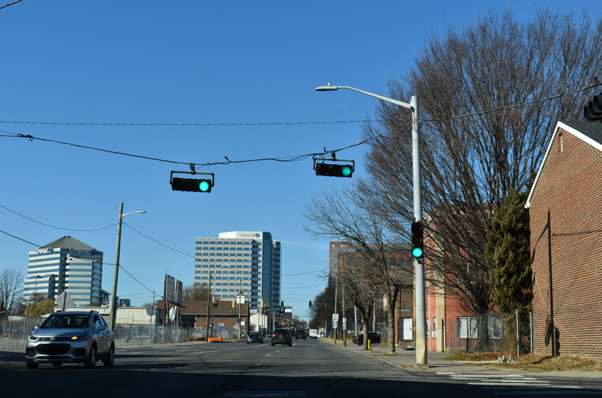
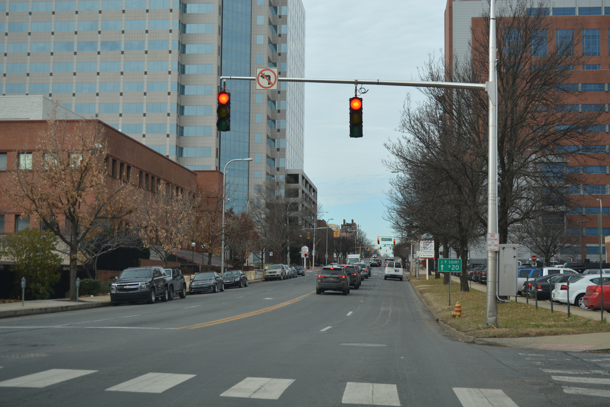
SR 9 and U.S. 13 Business northbound converge at 4th and Walnut Streets by the New Castle County Courthouse. Walnut Street carries the bannered route north with three lanes through the central business district.
This is the only shield for U.S. 13 Business posted along Fourth Street westbound.
12/20/17
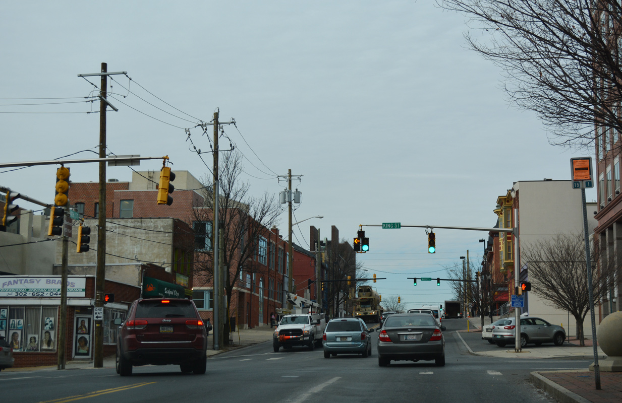
King Street represents the southbound direction of U.S. 13 Business through Downtown and LOMA. The bannered route shifts to Market Street across the Christina River in two blocks.
12/20/17
4th Street passes by the Delaware Supreme Court and next intersects Market Street.
12/20/17
4th Street west intersects Shipley Street at the Orlando J. George, Jr. (Wilmington) Campus of Delaware Technical Community College (DTCC).
12/20/17
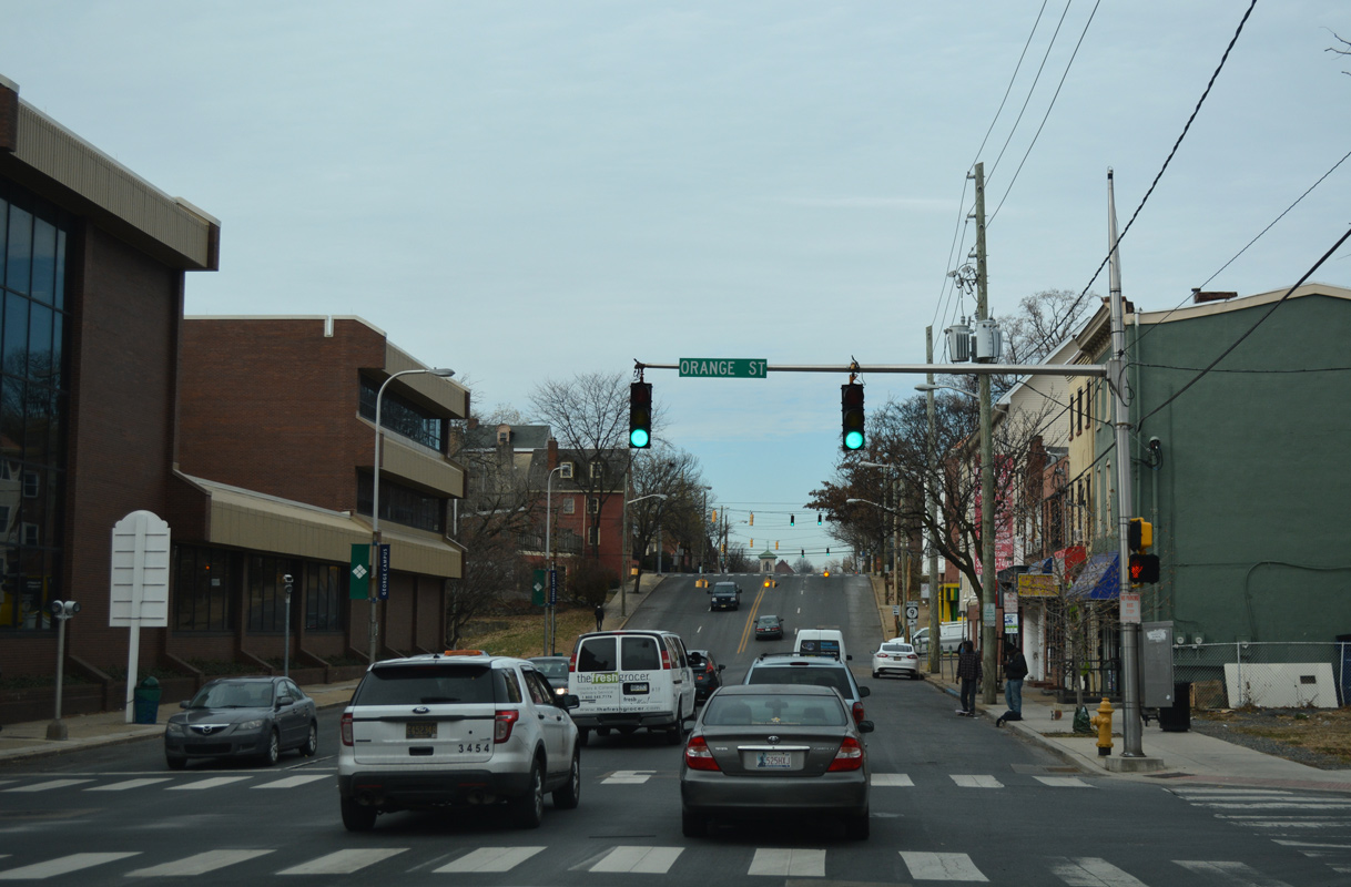
Proceeding west through the Quaker Hill neighborhood of Wilmington, SR 9 (4th Street) undulates through intersections with Orange, Tatnall and West Streets.
12/20/17
Washington Street flows south from Midtown Brandywine and SR 52 (11th Street) through Quaker Hill to intersects SR 9 (4th Street) ahead of an S-curve to SR 48 (2nd Street) and Justison Street.
12/20/17
Lowering into West Center City, the Presidential street theme continues along 4th Street westbound at Jefferson Street.
12/20/17
A reassurance marker precedes the traffic light with Madison Street northbound.
12/20/17
Madison Street represents the east end of SR 4 two blocks to the south. Flowing north through West Center City, Madison extends to Trinity Vicinity and SR 52 (Delaware Avenue).
12/20/17
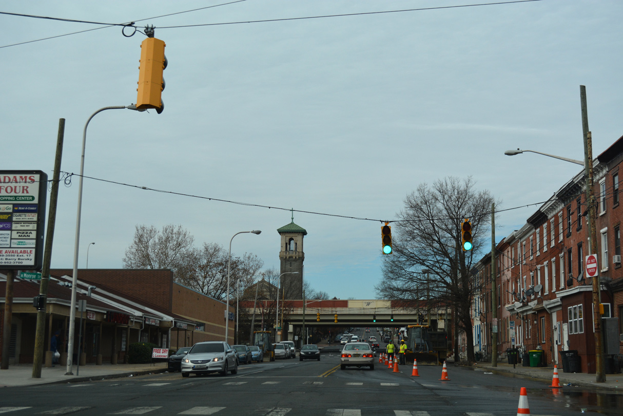
4th Street meets Monroe Street south at the Adams Four Shopping Center. Westbound SR 4 starts at Monroe and 2nd Streets nearby.
12/20/17
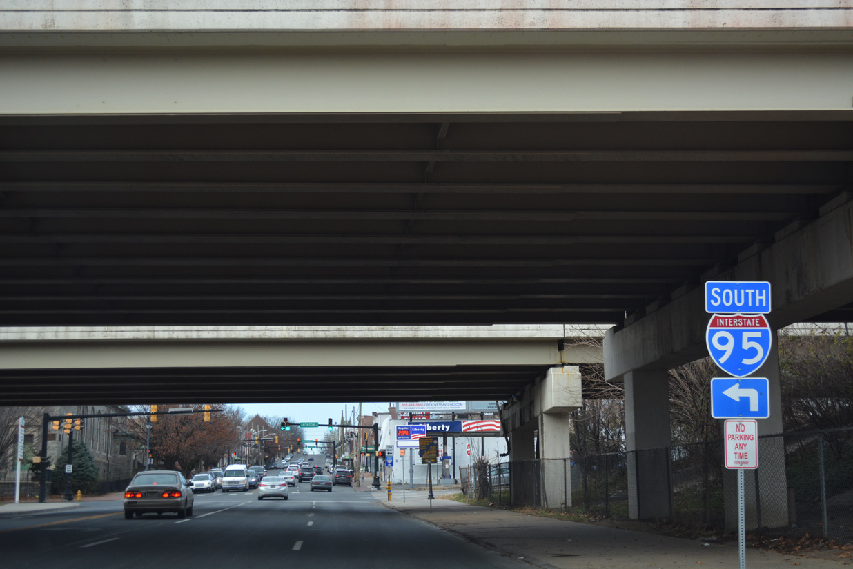
SR 9 (4th Street) reaches Interstate 95 at the couplet of Adams and Jefferson Streets. The elevated freeway winds southward alongside the Christina Riverfront and AMTRAK corridors to the south and travels below grade through West Center City and Happy Valley to the north.
12/20/17
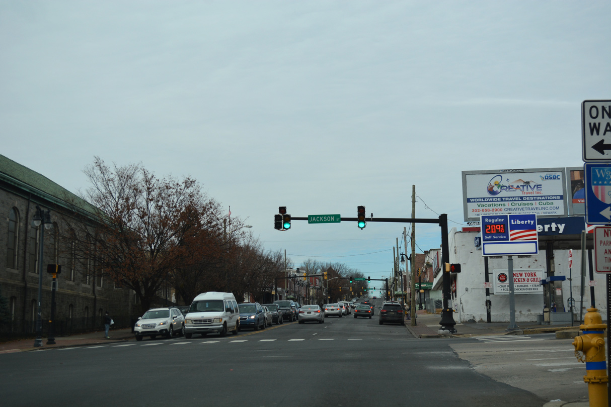
The southbound on-ramp for I-95 departs from Jackson Street beyond SR 48 (Lancaster Avenue). This changes with 2021-24 reconstruction of the Wilmington Viaduct, where the ramp will be removed. Instead motorists will be directed to use an expanded entrance ramp from SR 48 (2nd Street) westbound.
12/20/17
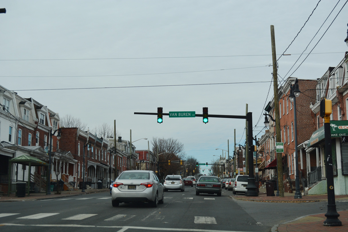
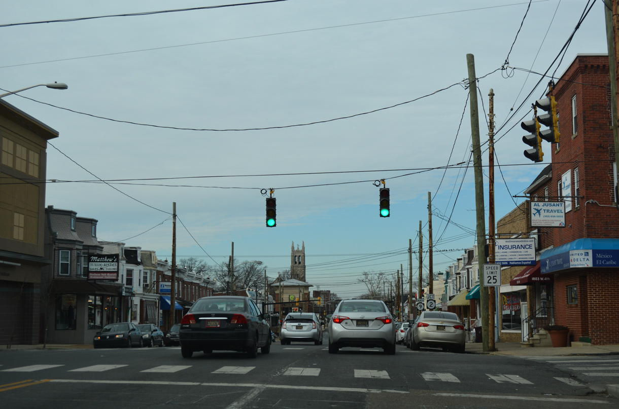
SR 9 (Fourth Street) northbound at Van Buren Street. The city of Wilmington replaced many of the span-wire supported traffic light assemblies with decorative mast-arm fixtures during the late 1990s and early 2000s.
12/20/17
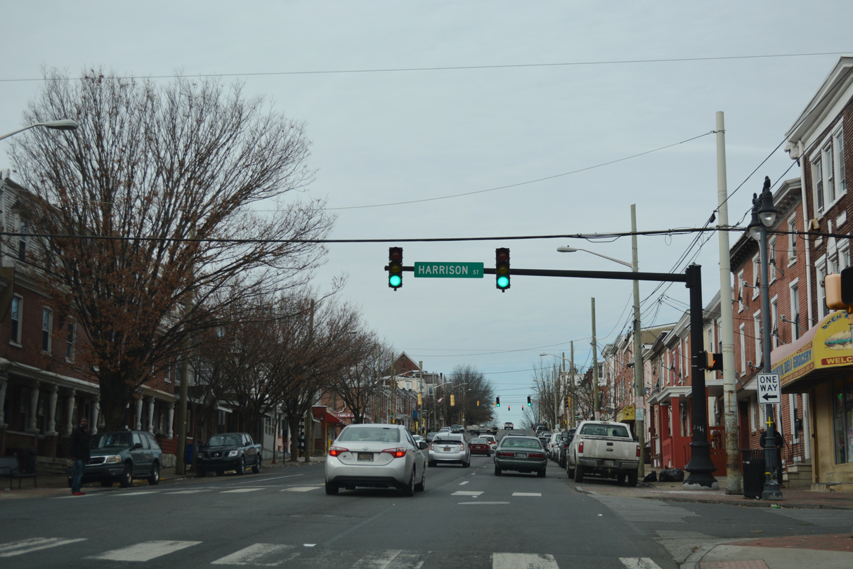
Harrison Street flows southwest from Cool Spring Reservoir to the Hilltop and Hedgeville communities and SR 4 (Maryland Avenue) at Browntown.
12/20/17
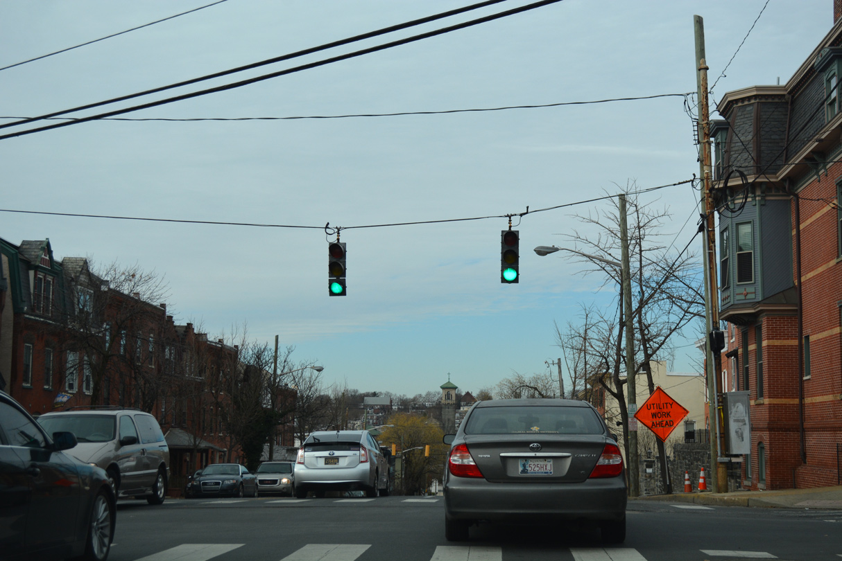
Fourth Street rises through the Hilltop neighborhood to next intersect Franklin Street. Franklin Street forms a one way street north from Browntown and Kosciuszko Park to Delaware Avenue.
12/20/17
Broom Street flows south through the West Hill, Hilltop and St. Elizabeth Area communities between SR 52 (Pennsylvania Avenue) and SR 4 (Maryland Avenue).
12/20/17
Rodney Street crosses 4th Street here with two way traffic between Bayard Square and West Hill.
12/20/17
The penultimate reassurance marker for SR 9 north on 4th Street precedes Clayton Street.
03/20/04
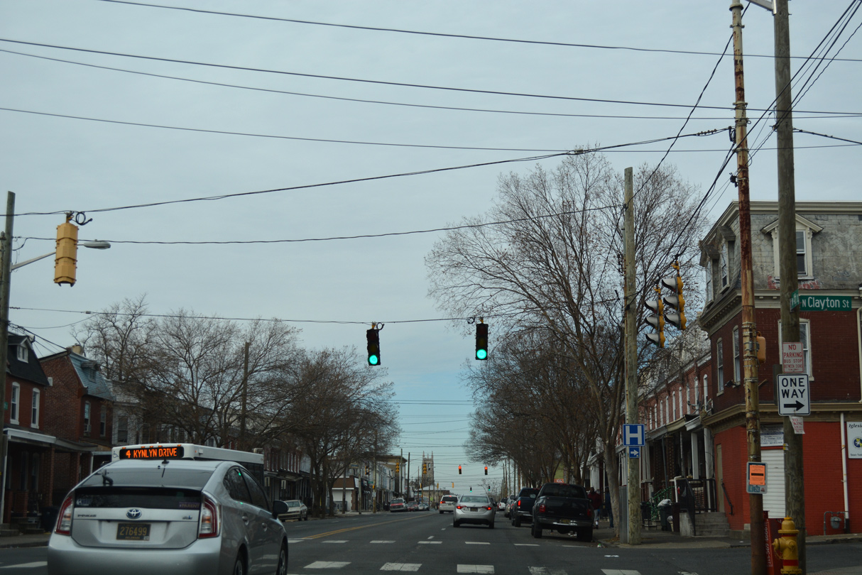
Clayton Street leads north from SR 9 to St. Francis Hospital and West Hill.
12/20/17
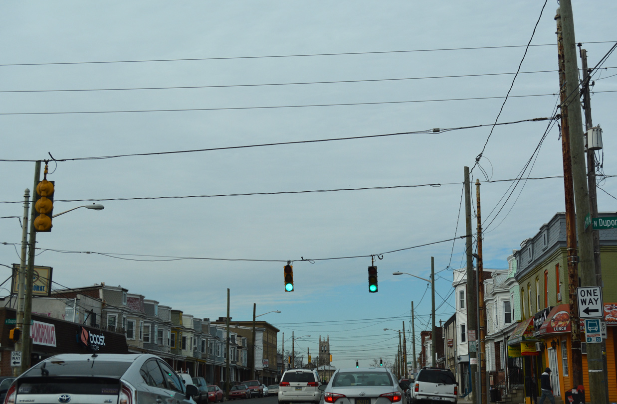
Dupont Street intersects SR 9 one block north of Clayton Street. The southbound only street begins at Lovering Avenue and Brandywine Park and ends at Oak Street and Canby Park.
12/20/17
One of the two remaining SR 9 cutouts as of April 2004 was posted on Fourth Street northbound between Dupont and Scott Streets. This assembly was missing by 2007.
06/16/00
With two way traffic, Scott Street runs south to Bayard Square and Canby Park and north to Little Italy and 11th Street.
12/20/17
SR 9 (4th Street) north concludes at the one way couplet of SR 2 (Lincoln Street east / Union Street west).
12/20/17
The last confirming marker for SR 9 precedes Lincoln Street (SR 2) east into the Little Italy community.
12/20/17
Lincoln Street leads SR 2 east nine blocks to conclude at SR 52 (Pennsylvania Avenue).
12/20/17

Westbound SR 2 follows Union Street, one block to the north through the Flats and Union Park Gardens communities.
12/20/17
SR 2 west combines with SR 48 for one block between 2nd and Lancaster Avenues. SR 48 ventures northwest from Wilmington to Hockessin while SR 2 joins Kirkwood Highway west through Elsmere and Prices Corner.
12/20/17
Redevelopment of the northeast corner of 4th and Union Streets claimed the end shield for SR 9 posted after SR 2. 4th Street extends northwest with four lanes to Greenville Avenue. The street dead ends beyond Ogle Avenue by the Westmoreland community.
12/20/17


Photo Credits:
- Alex Nitzman: 06/16/00, 04/04/04, 12/24/25
- ABRoads: 12/18/17, 12/20/17, 12/24/25
- AARoads: 03/20/04
Connect with:
Page Updated Tuesday January 07, 2025.