
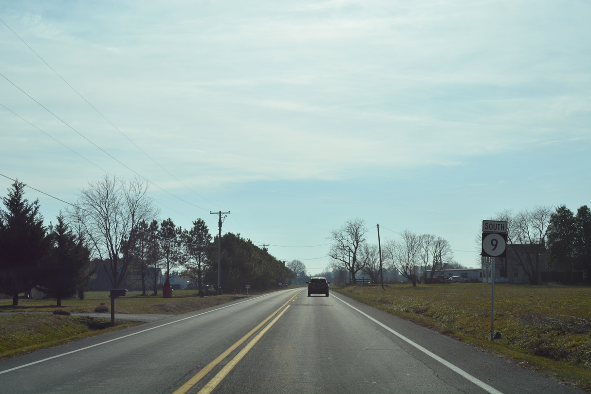
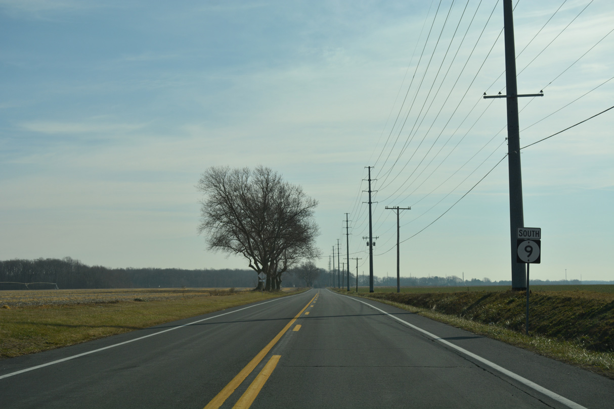
State Route 9 South - Port Penn to Dover

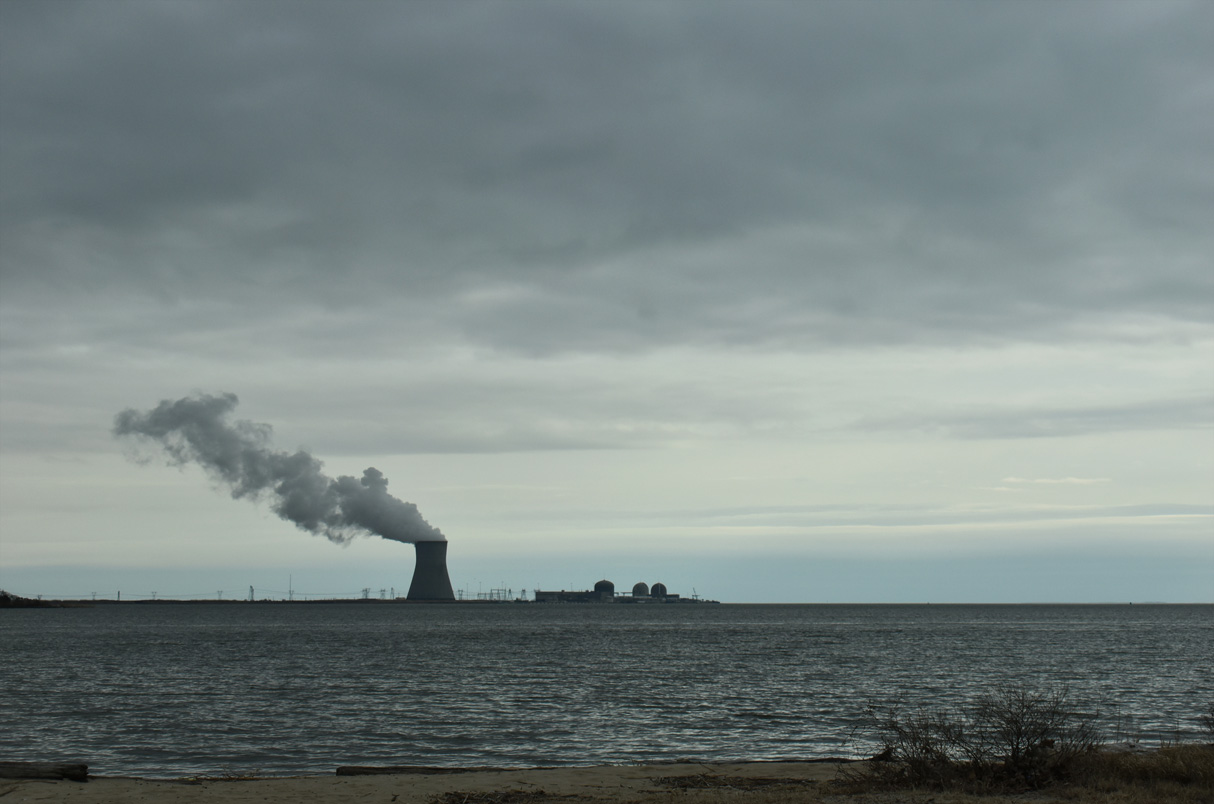
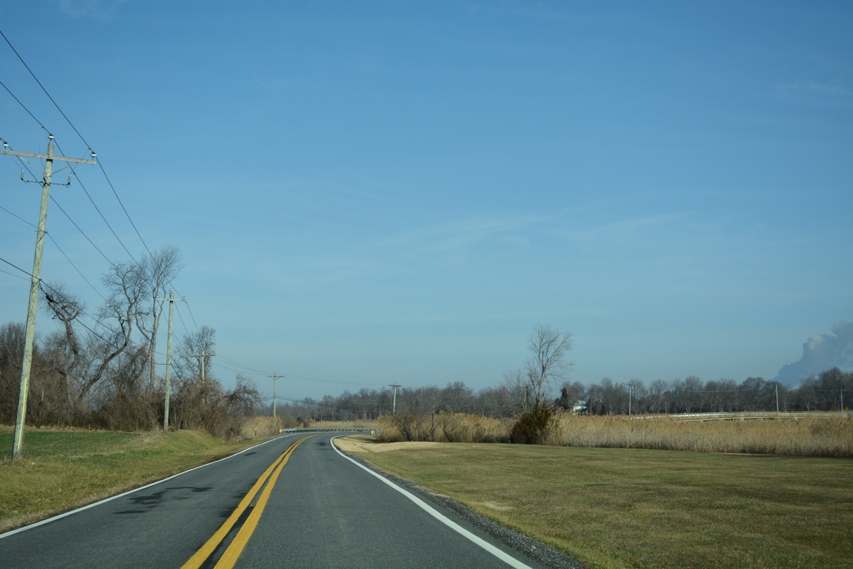
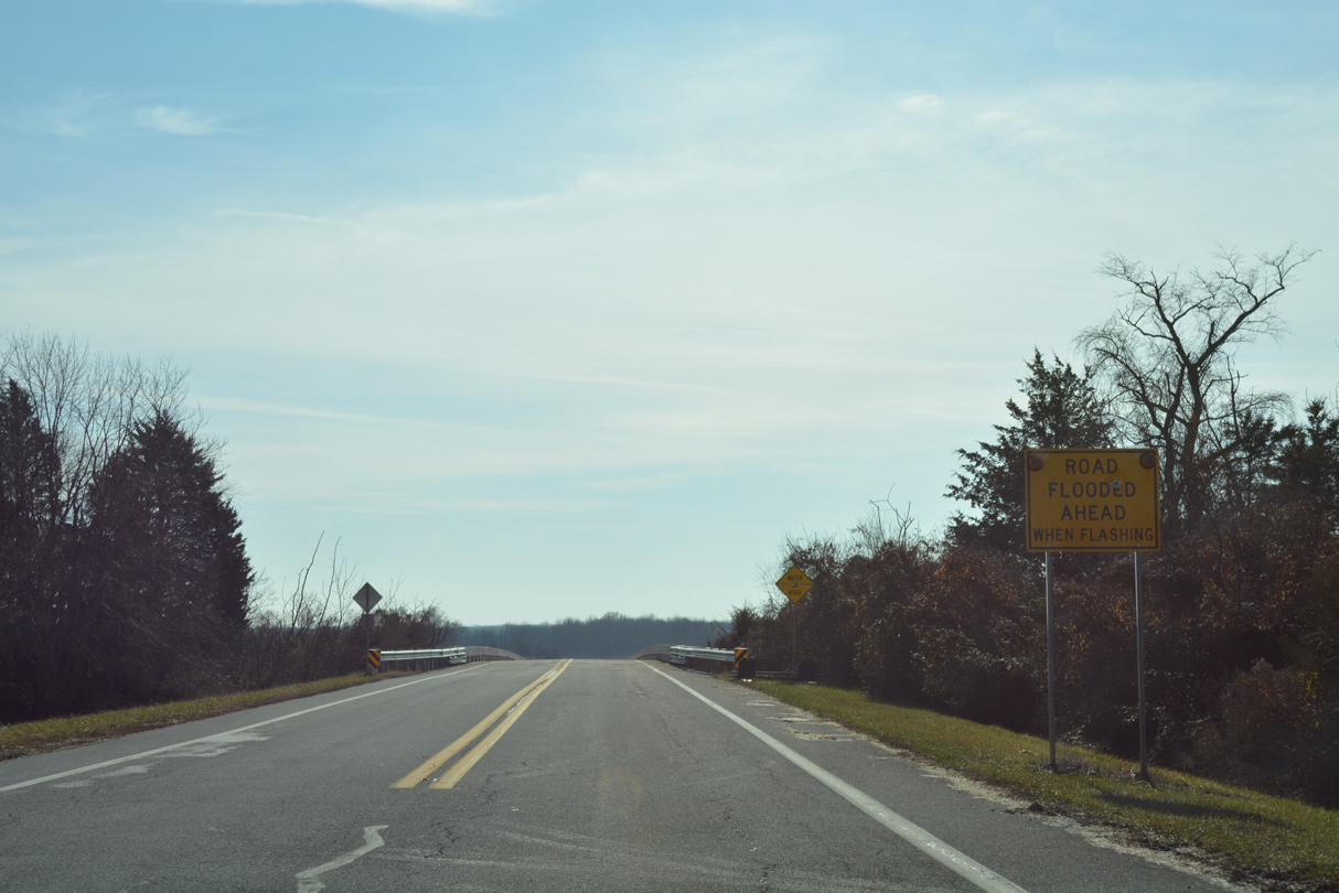
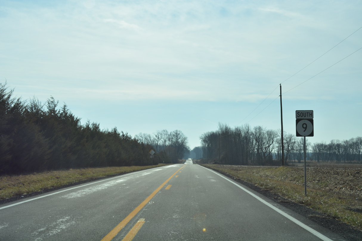
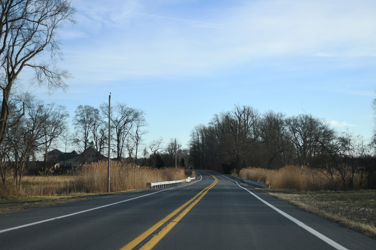
SR 9 runs along the Delaware River south of Port Penn at Augustine Beach. A parking area and boat ramp line the east side of SR 9 across from Hope Creek Generating Station in Salem County, New Jersey.
12/25/25
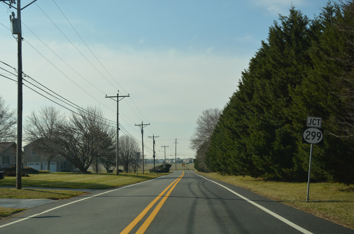
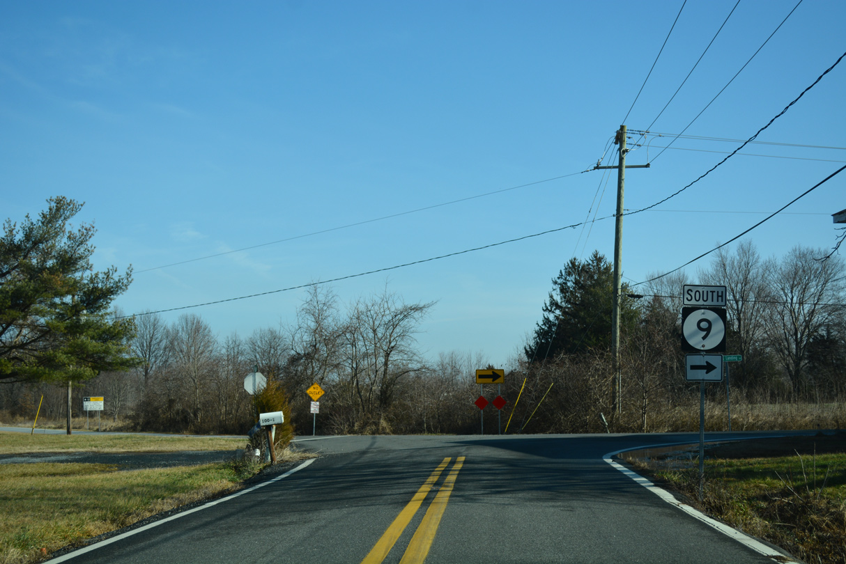
The east end of SR 299 (Taylors Bridge Road) ties into SR 9 (Thomas Landing Road). SR 299 comprises a nearly ten mile route west through Odessa and Middletown to the Maryland state line.
01/15/17
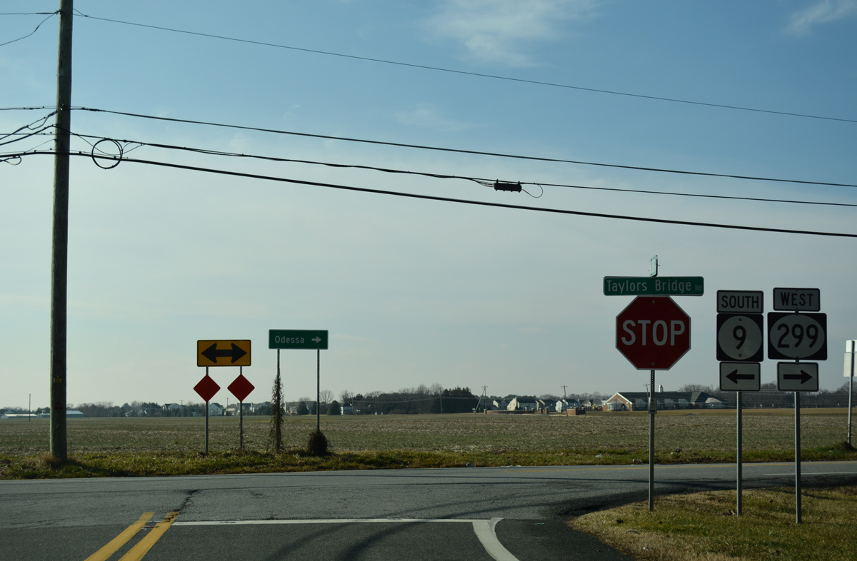
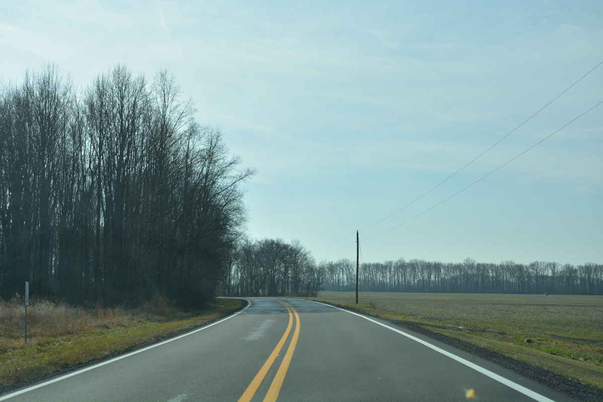
Farm land spreads to the south as SR 9 overtakes Taylors Bridge Road from the ending SR 299 at Mathews Corners. Suburban development is located both along SR 9 south and SR 299 leading northwest to Main Street through Odessa.
01/15/17
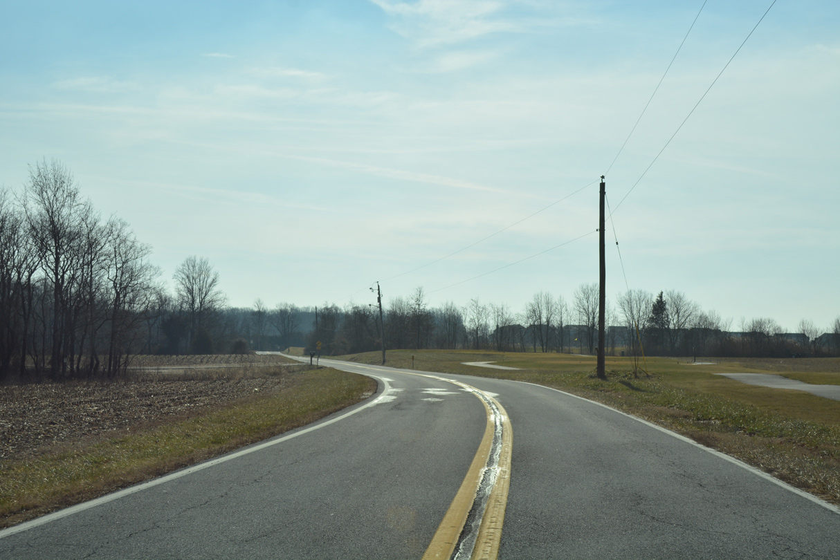
Taylors Bridge Road takes SR 9 south from Mathews Corners across Hangmans Run to the Odessa National golf course community. Staves Landing Road spurs east from the upcoming intersection to Cedar Swamp Wildlife Area off Blackbird Creek.
01/15/17

SR 9 (Taylors Bridge Road) diverges from the adjacent Odessa National community beyond Fieldsboro Road across agricultural areas ahead of Blackbird Creek.
01/15/17
A series of S-curves turns SR 9 east from Union Church Road to Taylors Bridge.
01/15/17
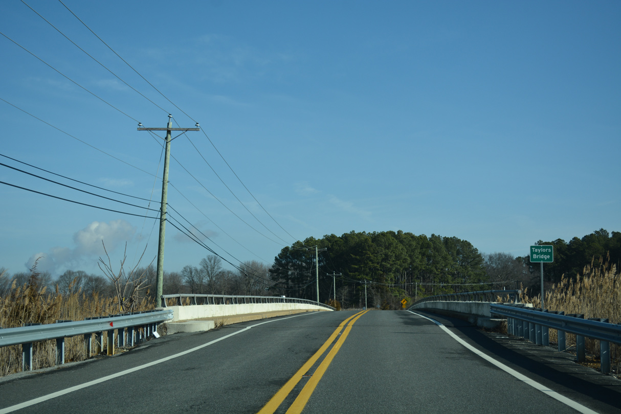
Taylors Bridge takes SR 9 across Blackbird Creek. The span was built in 1964.
01/15/17
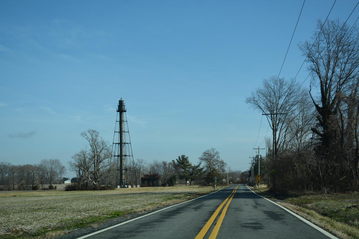
The settlement of Taylors Bridge is home to the Reedy Island Rear Range Lighthouse. First illuminated on July 27, 1910, the cast-iron tower of the light house rises to 125 feet. An automated light on a steel tower replaced the function of the lighthouse in 1951 (Anderson, n.d.).
01/15/17
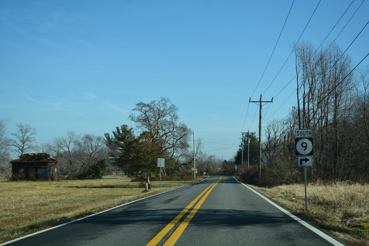
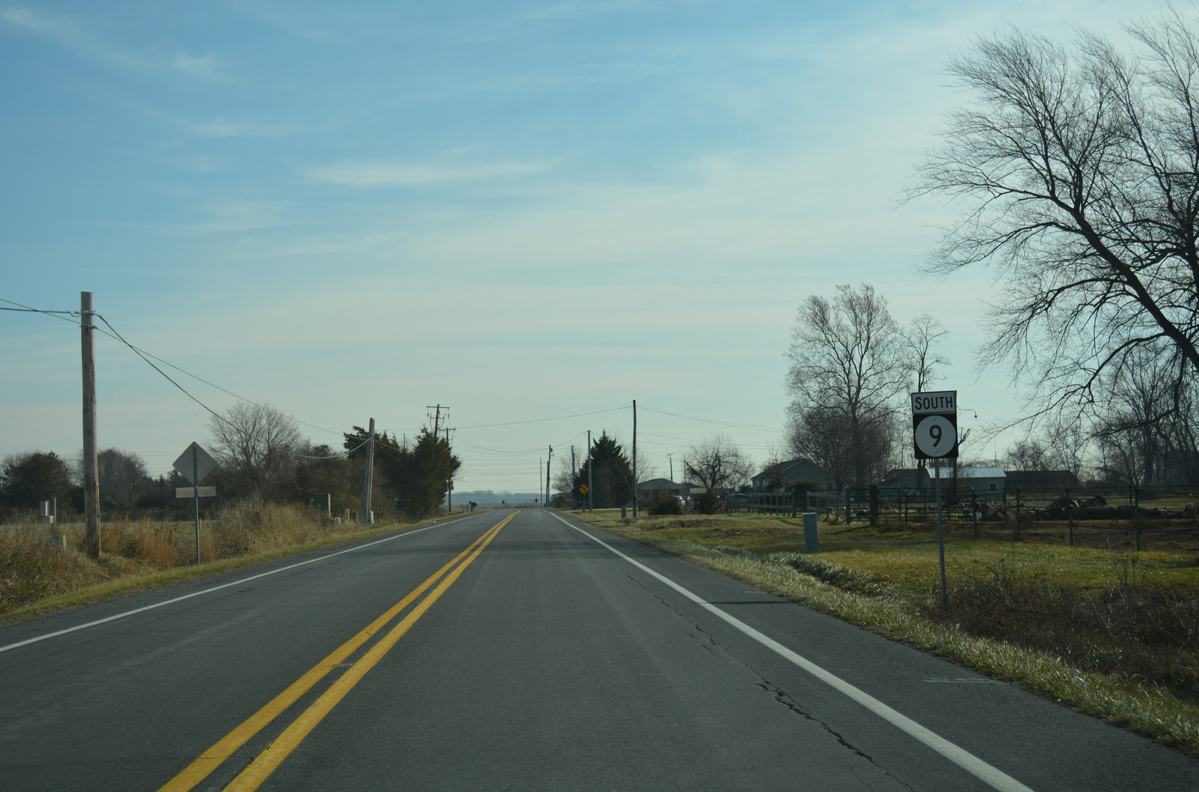
SR 9 turns south at Taylors Bridge to follow Flemings Landing Road to Kent County.
01/15/17
Flemings Landing Road spurs north from SR 9 to Red Bank off Blackbird Creek while Cedar Swamp Road east dead ends toward Liston Point off Delaware Bay.
01/15/17
Walker School Road branches southwest from Flemings Landing Road to a tract of Cedar Swamp Wildlife Area as SR 9 stays southeasterly across farm land
01/15/17
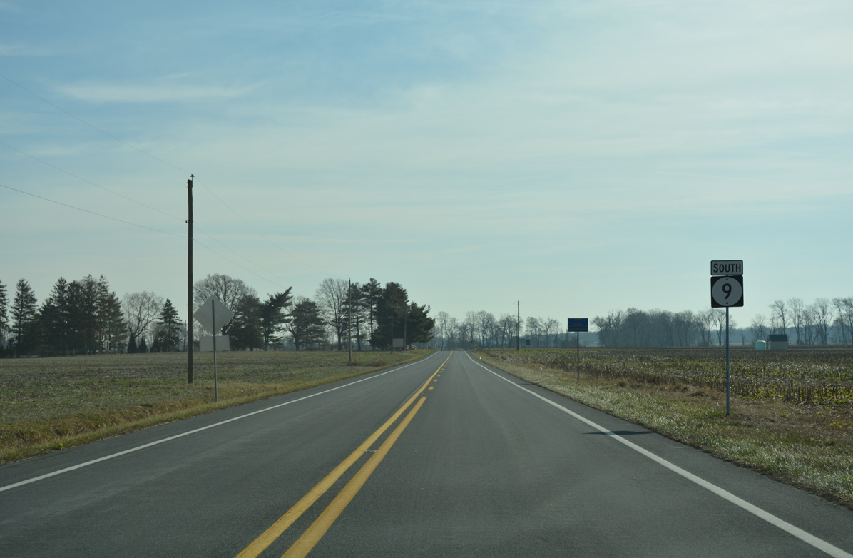
The first SR 9 shield posted since Taylors Bridge stands south of Saw Mill Branch Road and just west of Cedar Swamp.
01/15/17
Paddock Road arcs east across Sawmill branch to merge with SR 9 at Deakyneville Road. The state route route gradually lowers from Thoroughfare Neck here to Flemings Landing.
01/15/17
Crossing the Smyrna River at Flemings Landing, SR 9 lowers from eight to four feet above sea level.
01/15/17
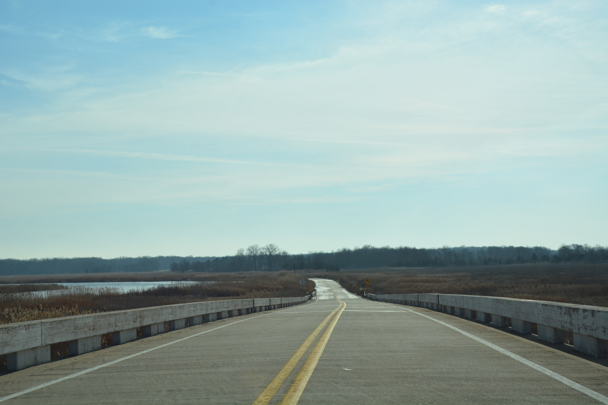
The Smyrna River separates New Castle and Kent Counties east from Duck Creek in Smyrna to Delaware Bay. The county line is unmarked along SR 9 otherwise.
01/15/17
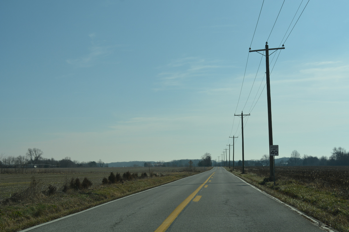
SR 9 (Hay Point Landing Road) climbs to 13 feet above sea level at the intersection with Shorts Landing Road south. The state route plies through a forest on the ensuing stretch toward Broadway Meadows.
01/15/17
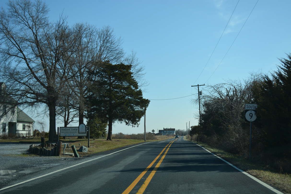
Lighthouse Road meanders east from SR 6 (Woodland Beach Road) to meet SR 9 (Hay Point Landing Road) by the Mallard Lodge.
01/15/17
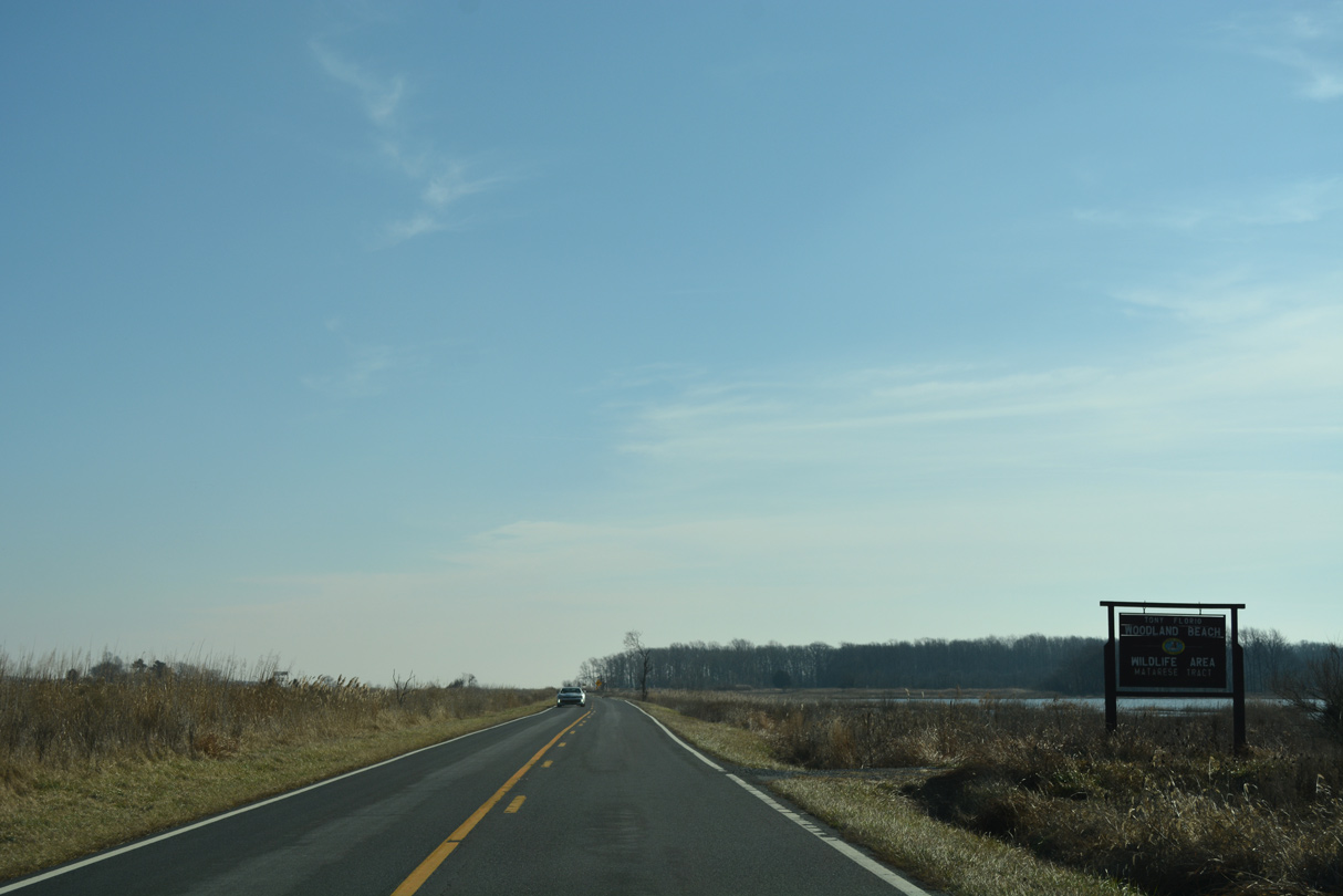
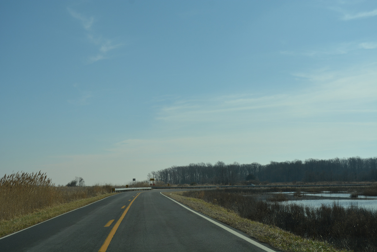
SR 9 traverses a levee at Taylors Gut Landing through the Matarese Tract of the Tony Florio Woodland Beach Wildlife Area.
01/15/17
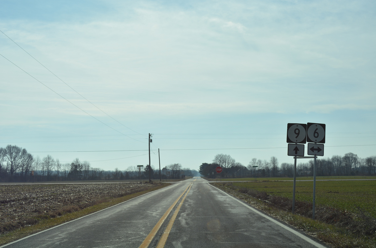
Turning south, SR 9 (Hay Point Landing Road) crosses paths with SR 6 (Woodland Beach Road) on Serverson Neck. SR 6 spurs east to Woodland Beach on Delaware Bay. The state route west leads to Smyrna, Clayton and Kent County, Maryland.
01/15/17
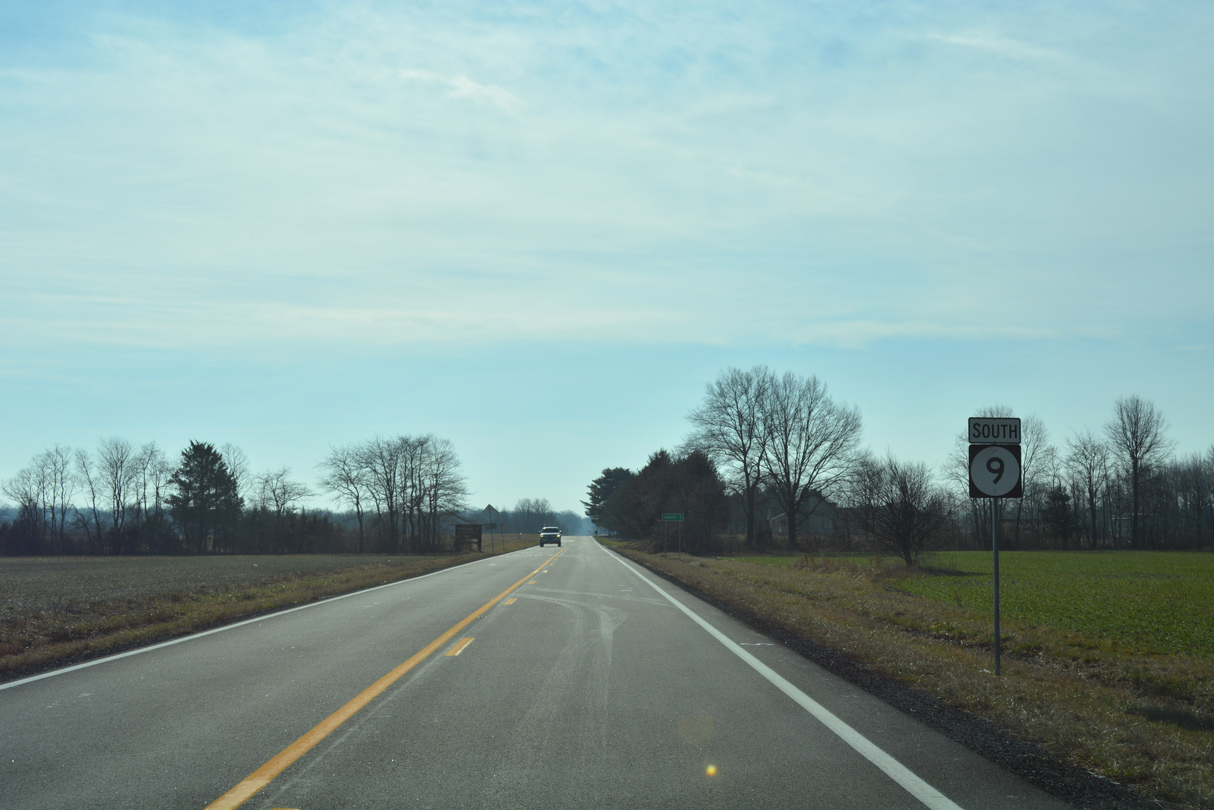
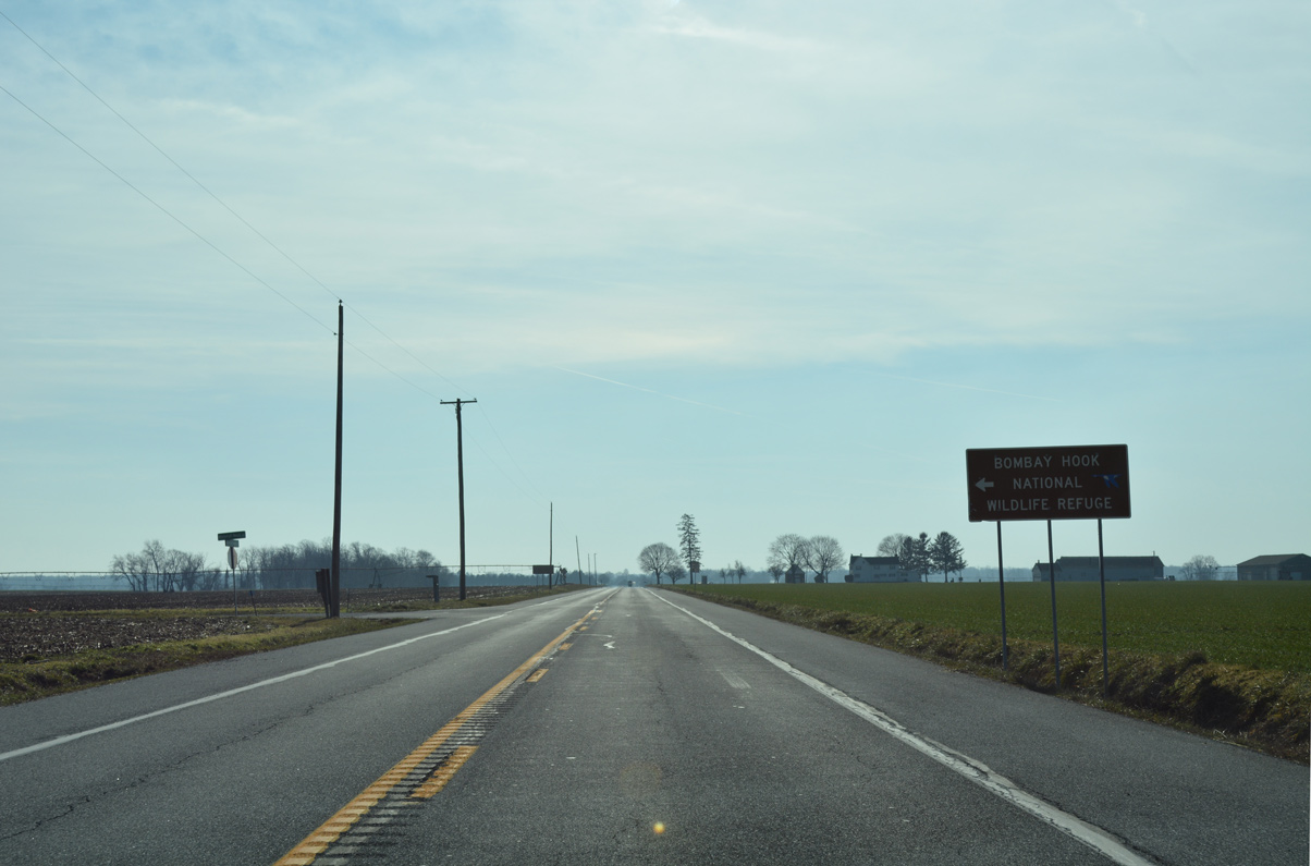
Continuing south from SR 6, SR 9 enters Bombay Hook National Wildlife Refuge.
01/15/17
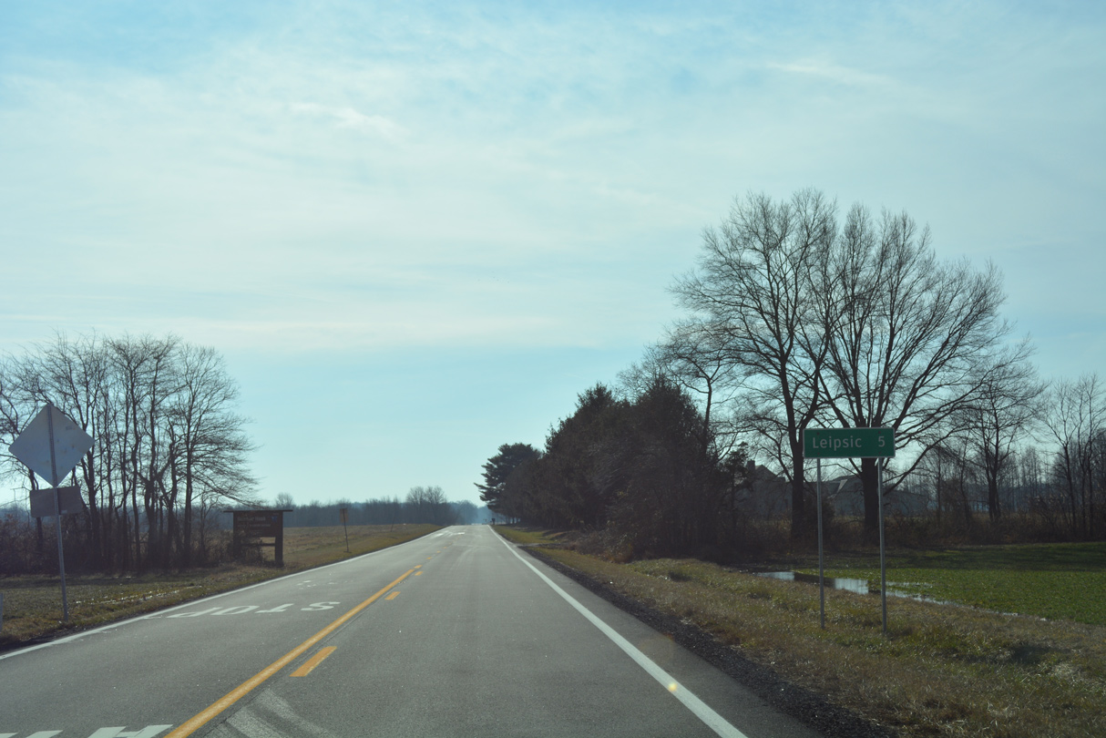
The town of Leipsic lies five miles further south along SR 9.
01/15/17
Reassurance marker posted south of Hawkey Branch Road and north of Hawkey Branch.
01/15/17
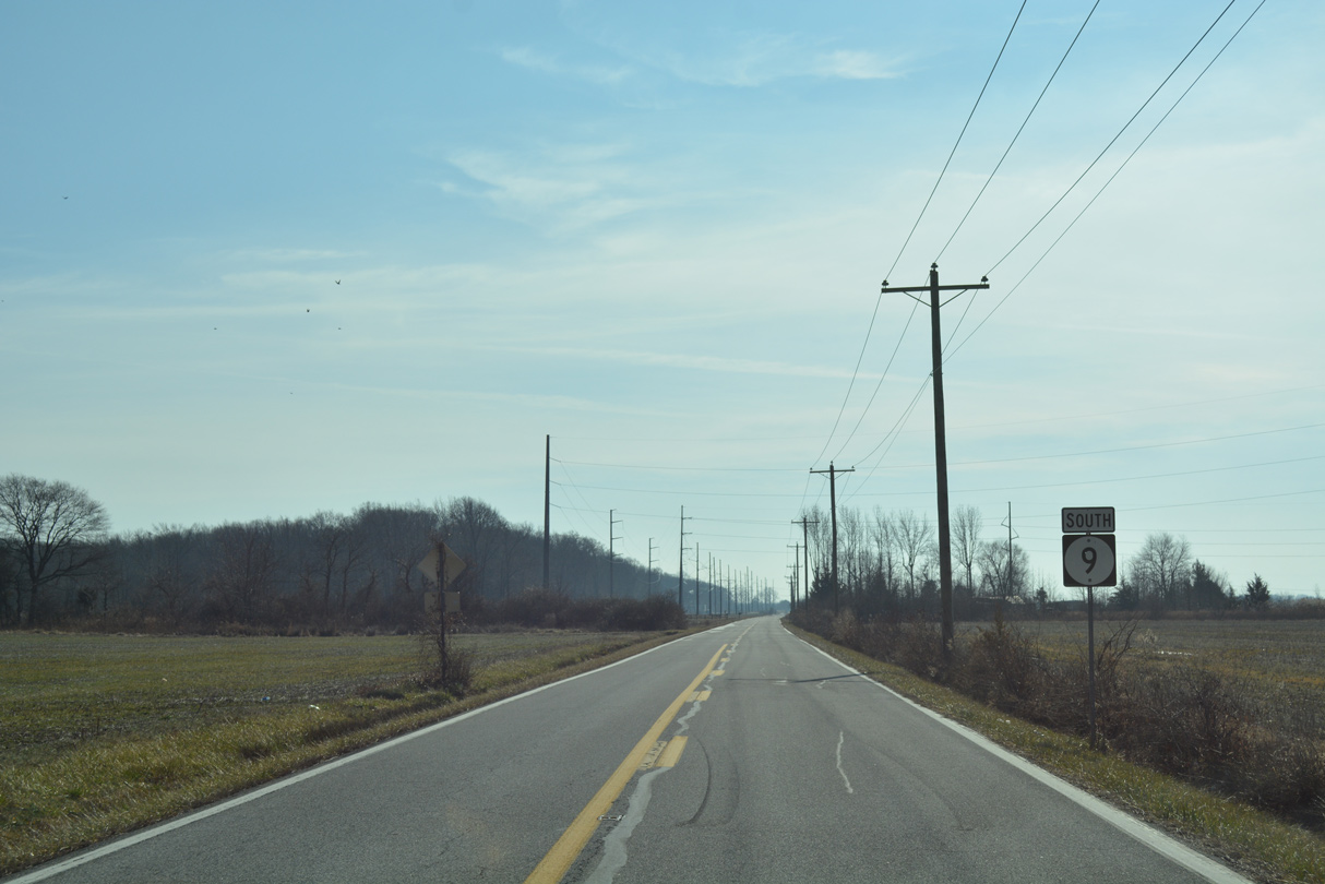
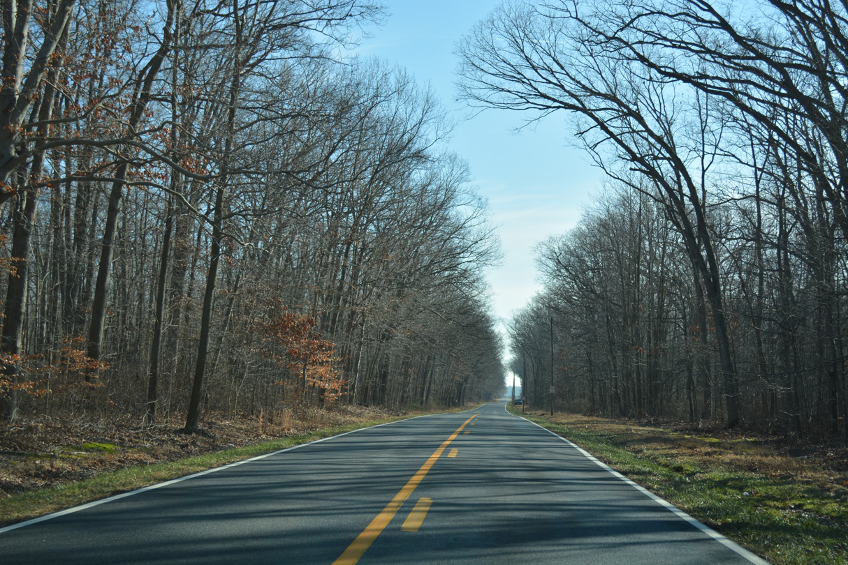
SR 9 passes through a mix of farm and forest land south of Dutch Neck Crossroads and Finis Branch.
01/15/17
The Hay Point Landing segment of SR 9 south concludes at Smyrna Leipsic Road near Whitehall Crossroads.
01/15/17
SR 9 overtakes Smyrna Leipsic Road south across Raymond Neck. Smyrna Leipsic Road west to U.S. 13 in Smyrna is the former alignment of the state route.
01/15/17
Whitehall Neck Road spurs east from SR 9 (Smyrna Leipsic Road) to Bombay Hook N.W.R. by Shearness and Raymond Pools.
01/15/17
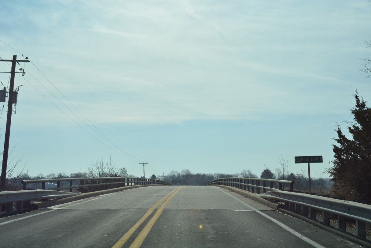
SR 9 enters the town of Leipsic ahead of the 1952-built bridge across the Leipsic River.
01/15/17
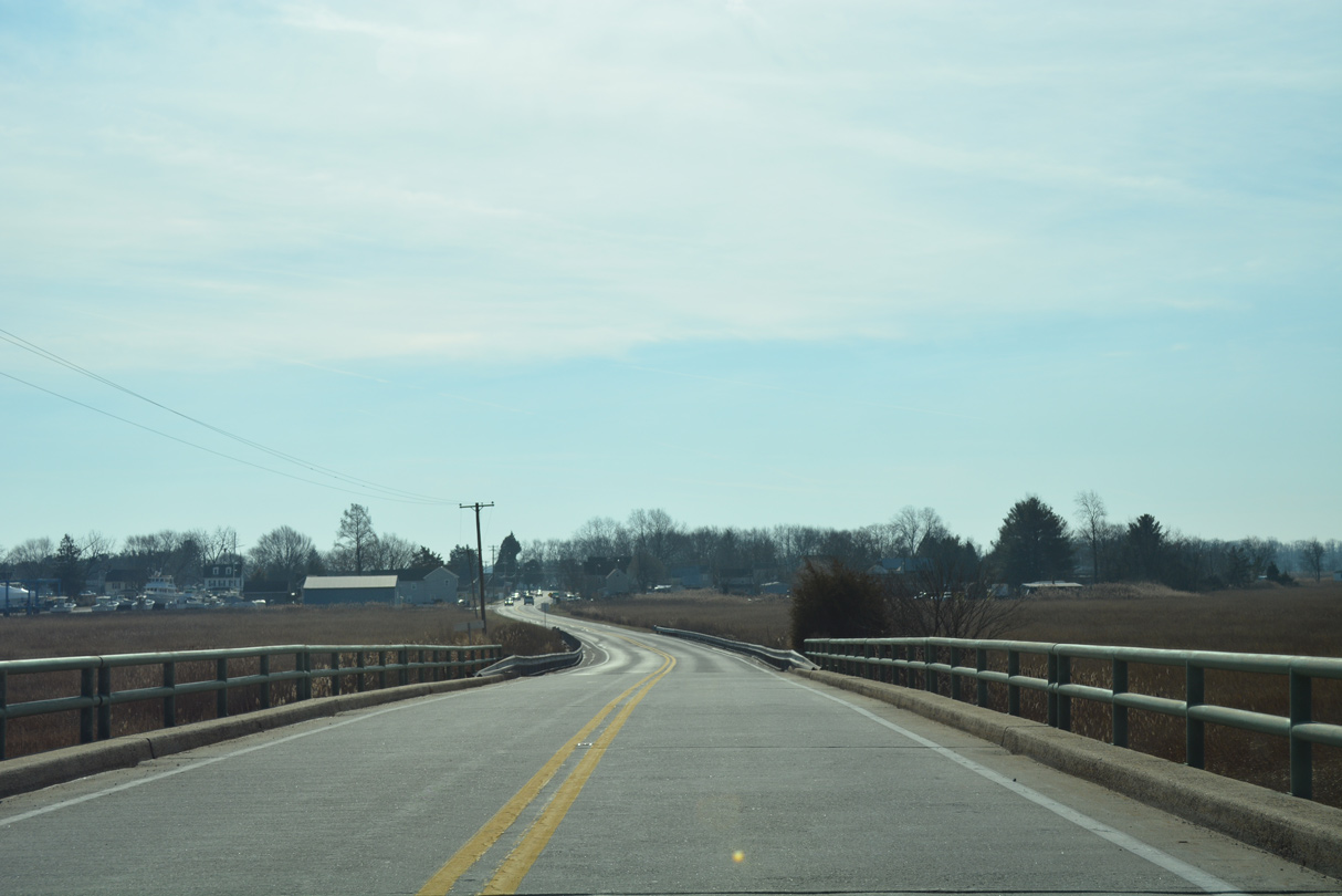
Denny Street leads SR 9 south from the river through Leipsic.
01/15/17
Front Street provides a cutoff to SR 42 (Fast Landing Road) west to Cheswold.
01/15/17
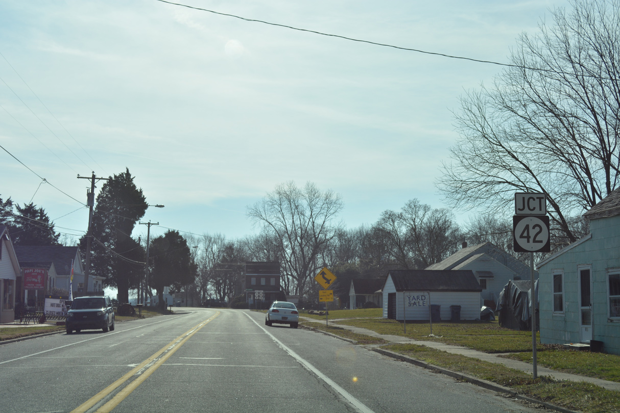
SR 42 (2nd Street) ends at SR 9 directly at the subsequent intersection.
01/15/17
A 12.72 mile route, SR 42 joins coastal Kent County with U.S. 13 at Bishops Corner, and Kenton through agricultural areas west of Smyrna and Cheswold.
01/15/17
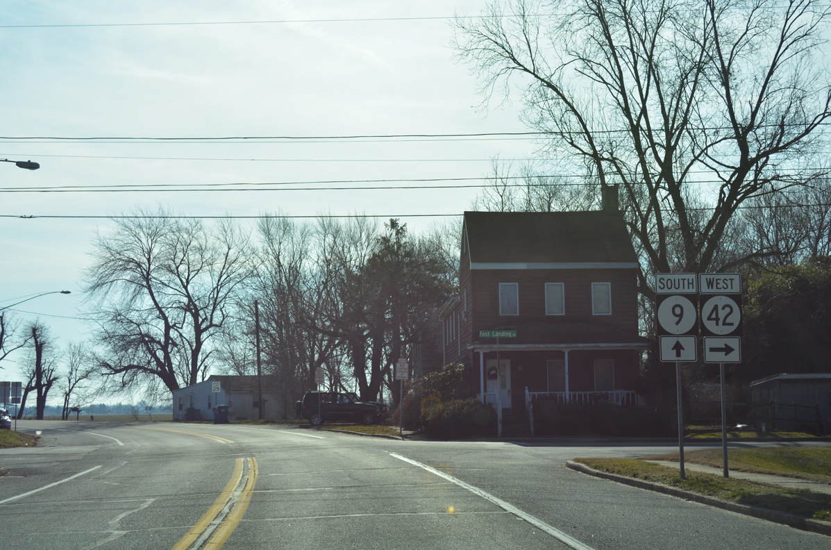
Confirming marker posted along Denny Street where it curves southeast from SR 42 (2nd Street) to Main Street through Leipsic.
12/23/24
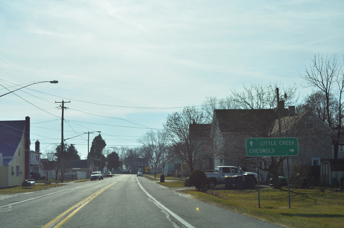
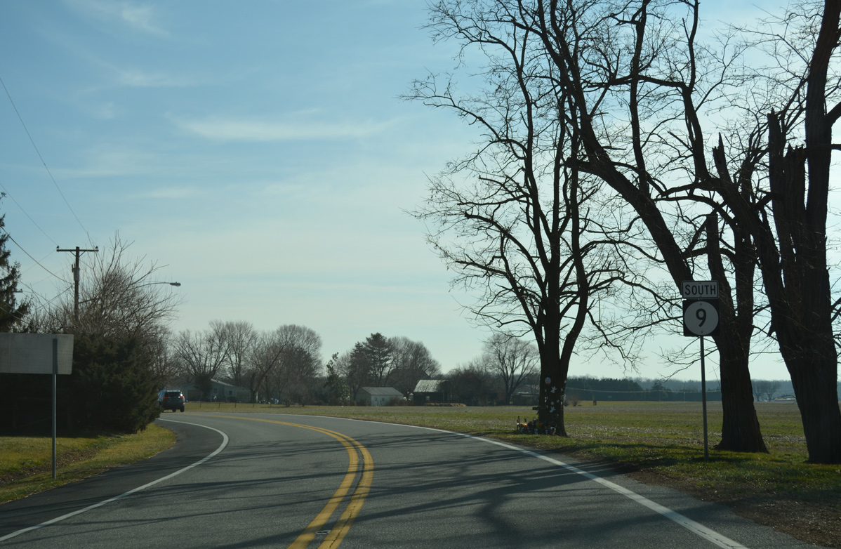
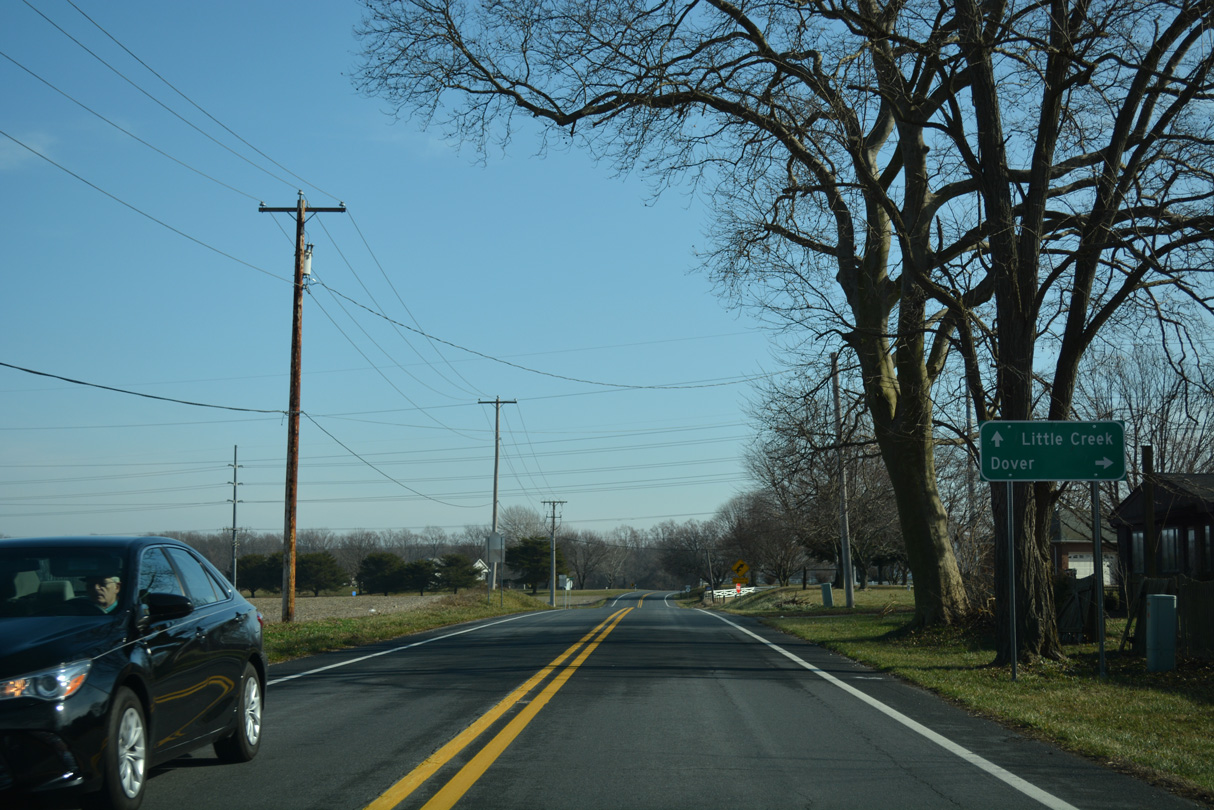
Leaving Leipsic, SR 9 follows Bayside Drive south seven miles to Little Creek. The capital city lies seven miles to the southwest via connecting roads.
12/23/24
Dyke Branch Road (Rd 331) angles southwest from SR 9 ahead of the next reassurance marker.
12/23/24
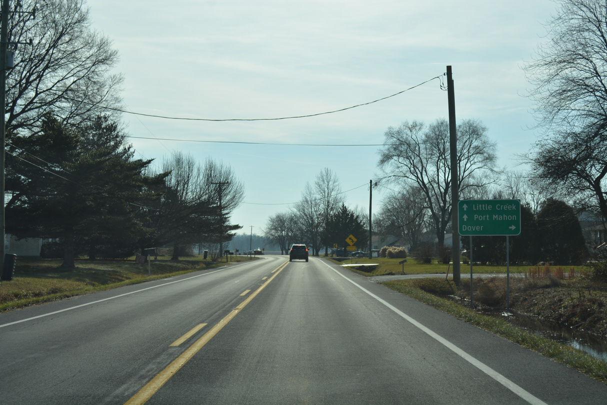
Leipsic Road (Rd 334) follows from SR 9 (Bayside Drive) as the first road leading directly into Dover. Leipsic Road meanders west Dover Motor Speedway and U.S. 13 (Dupont Highway) across at N State Street (U.S. 13 Alternate).
12/23/24
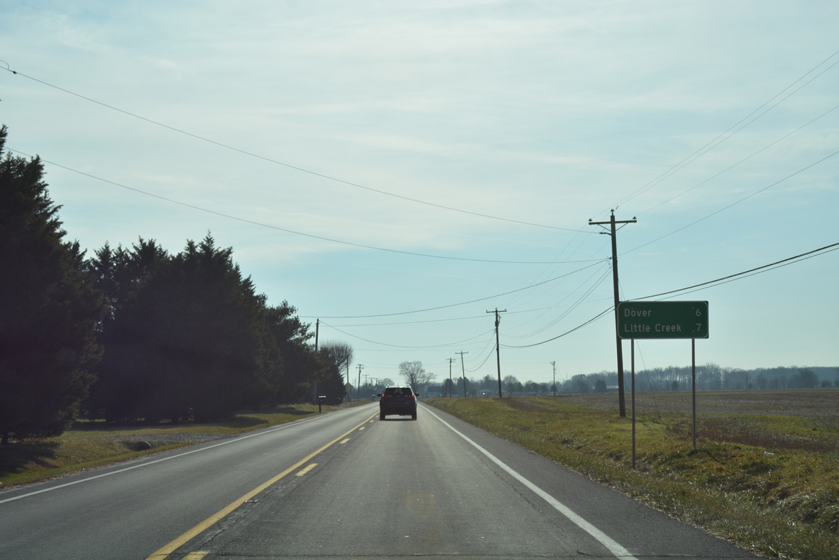
SR 9 (Bayside Drive) southbound remains rural and next crosses Muddy Branch.
12/23/24

Turning more southeasterly, SR 9 (Bayside Drive) advances to Silver Leaf Lane and Chandelle Estates Airport (0N4).
12/23/24
Bayside Drive shifts east ahead of Cowgills Corner and Donas Landing Road.
12/23/24
White Oak Road (Rd 66) heads west from SR 9 and Donas Landing Road to Kings Highway NE in Dover.
12/23/24
SR 9 (Bayside Drive) arcs southeast from Cowgills Corner across Herring Branch.
12/23/24
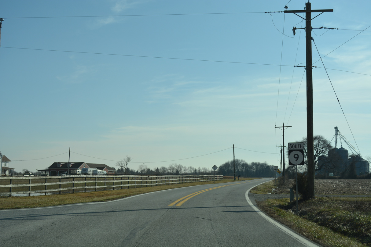
Advancing south from Cartanza Road and east of the Pioneer Materials sand pit on SR 9.
12/23/24

Marshtown Road (Rd 339) ties into SR 9 from Little Creek Wildlife Area to the east ahead of this shield assembly.
12/23/24

SR 9 (Bayside Drive) south meets the east end of SR 8 (North Little Creek Road) at the small town of Little Creek. SR 8 runs west toward Downtown Dover.
This sign was replaced by 2018 and removed by 2023.
01/15/17
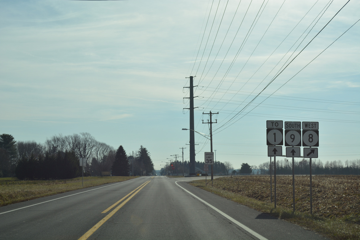
17.15 miles in length, SR 8 passes through Dover en route to Pearsons Corner and Marydel. A half diamond interchange provides access onto SR 1 north to Smyrna, while motorists headed to SR 1 south to Milford are directed to remain along SR 9.
12/23/24
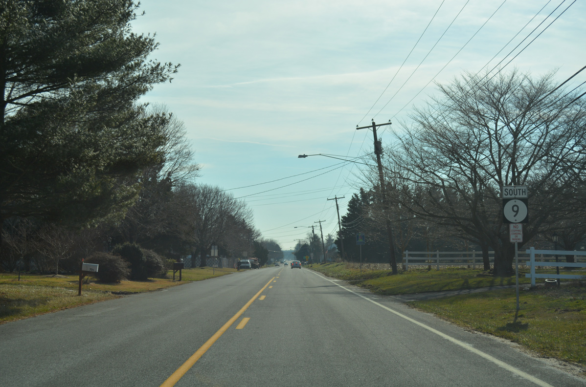
Speed limits drop to 25 miles per hour as SR 9 continues south along Main Street through Little Creek.
01/15/17
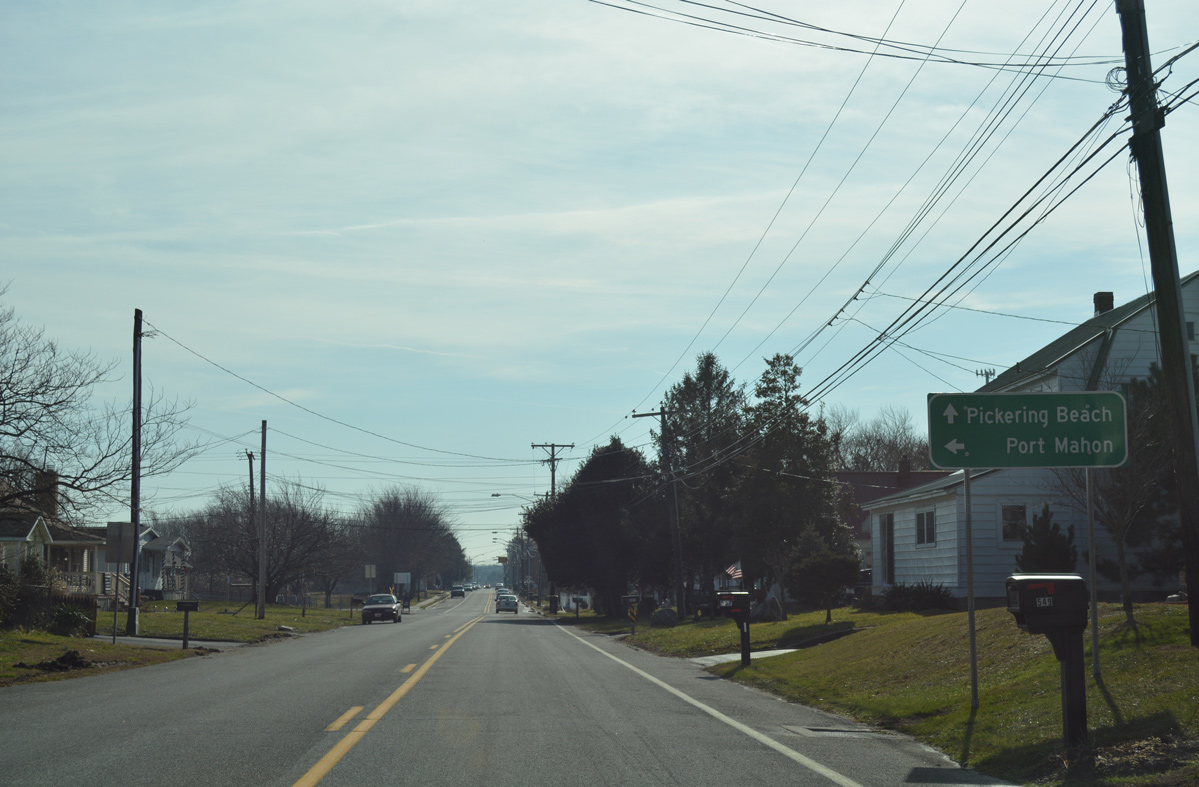
Port Mahon Road spurs east from Little Creek out to Port Mahon on Delaware Bay.
01/15/17

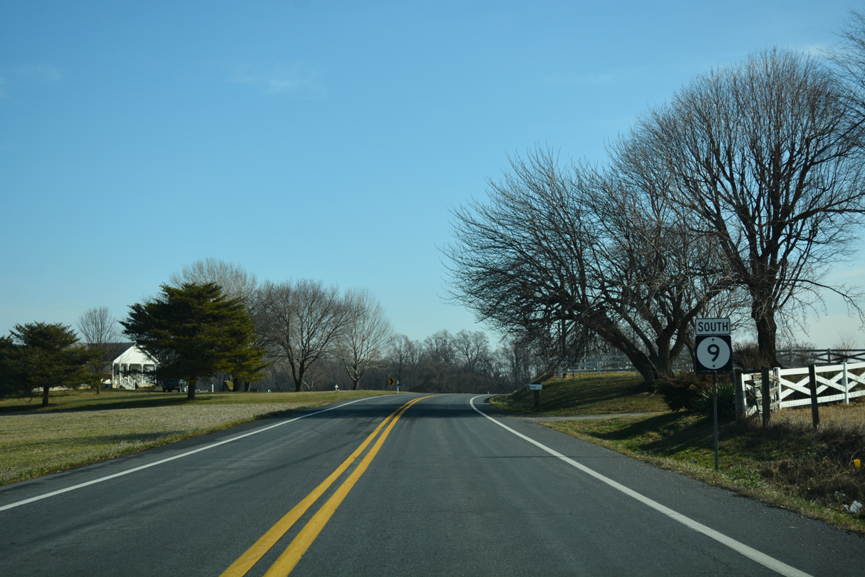
A handful of residential streets tie into SR 9 (Main Street) south of Port Mahon Road in Little Creek. Bayside Drive extends the state route southwest around Dover AFB to SR 1 (Bay Road).
01/15/17
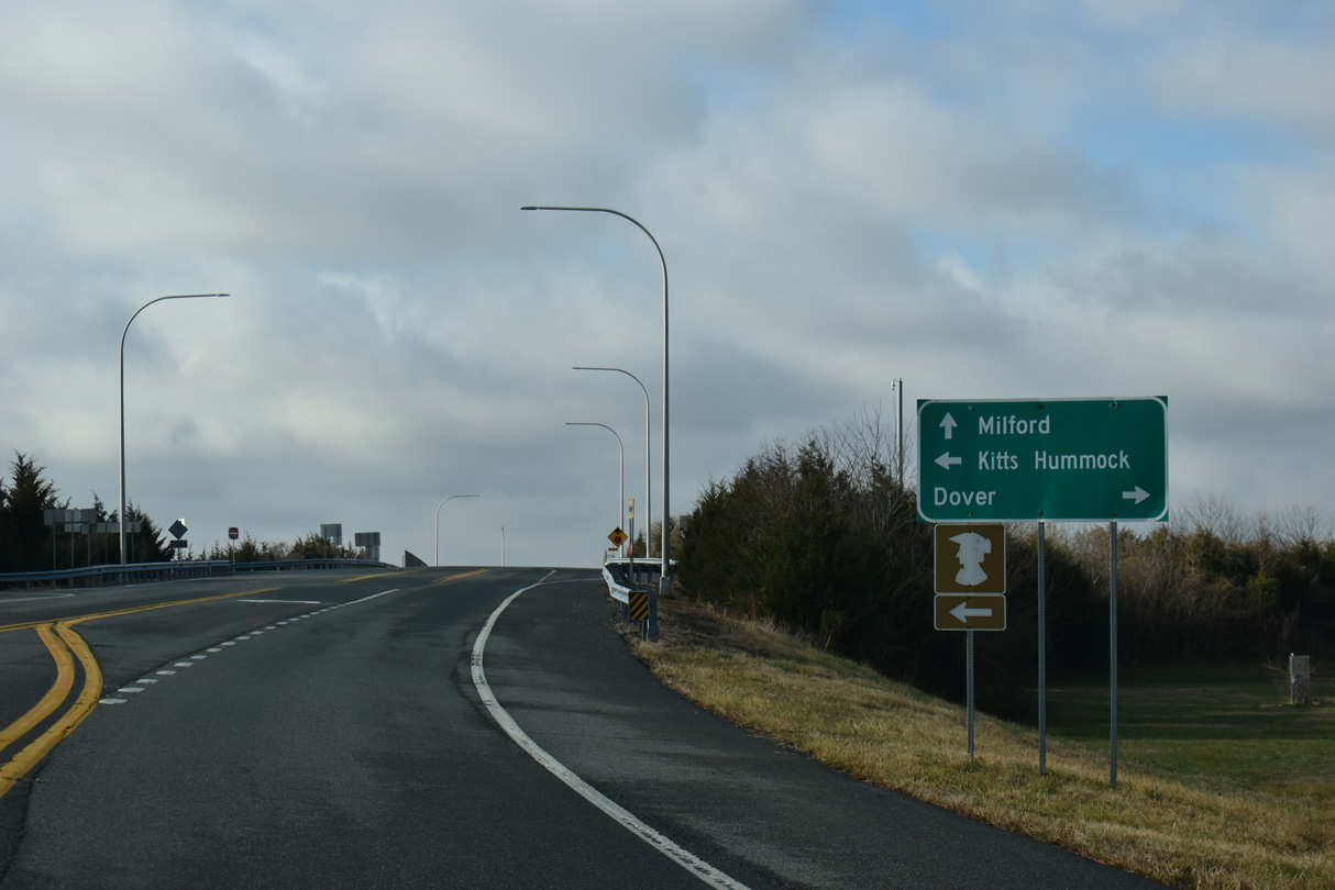
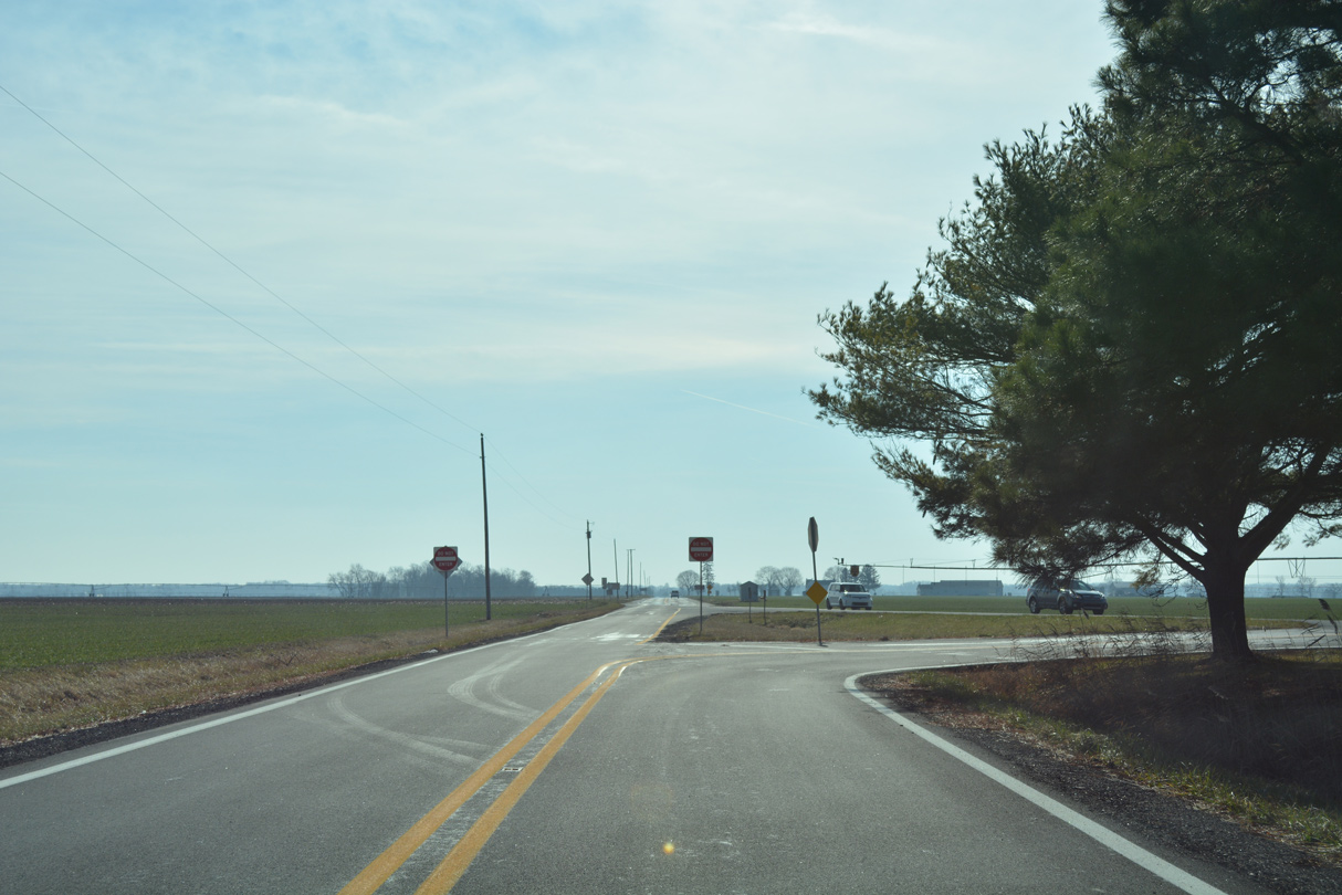
Kitts Hummock Road ties into SR 9 (Bayside Drive) south just ahead of SR 1 on the south side of Dover AFB. Kitts Hummock Road (Rd 68) spurs 3.06 miles east to Kitts Hummock along Delaware Bay.
12/27/25
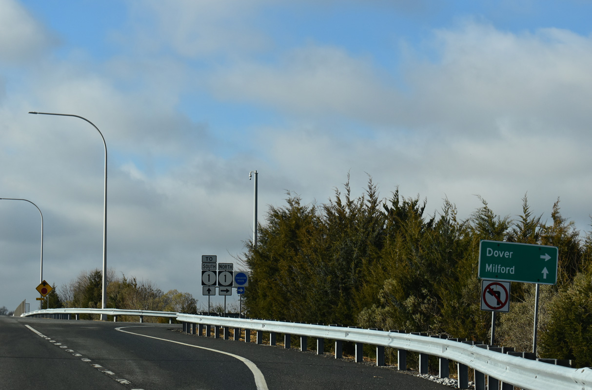
The diamond interchange (Exit 91) joining SR 9 (Bayside Drive) with SR 1 (Bay Road) opened to traffic on September 30, 2009.
12/27/25

SR 1 (Bay Road) is a limited access highway traveling north to the Dover AFB Main Gate, the capital city of Dover and I-95 near Christiana in the greater Wilmington area.
12/27/25
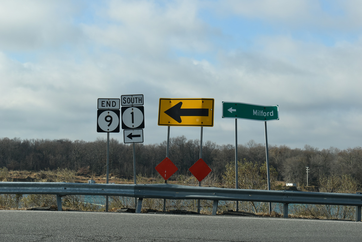
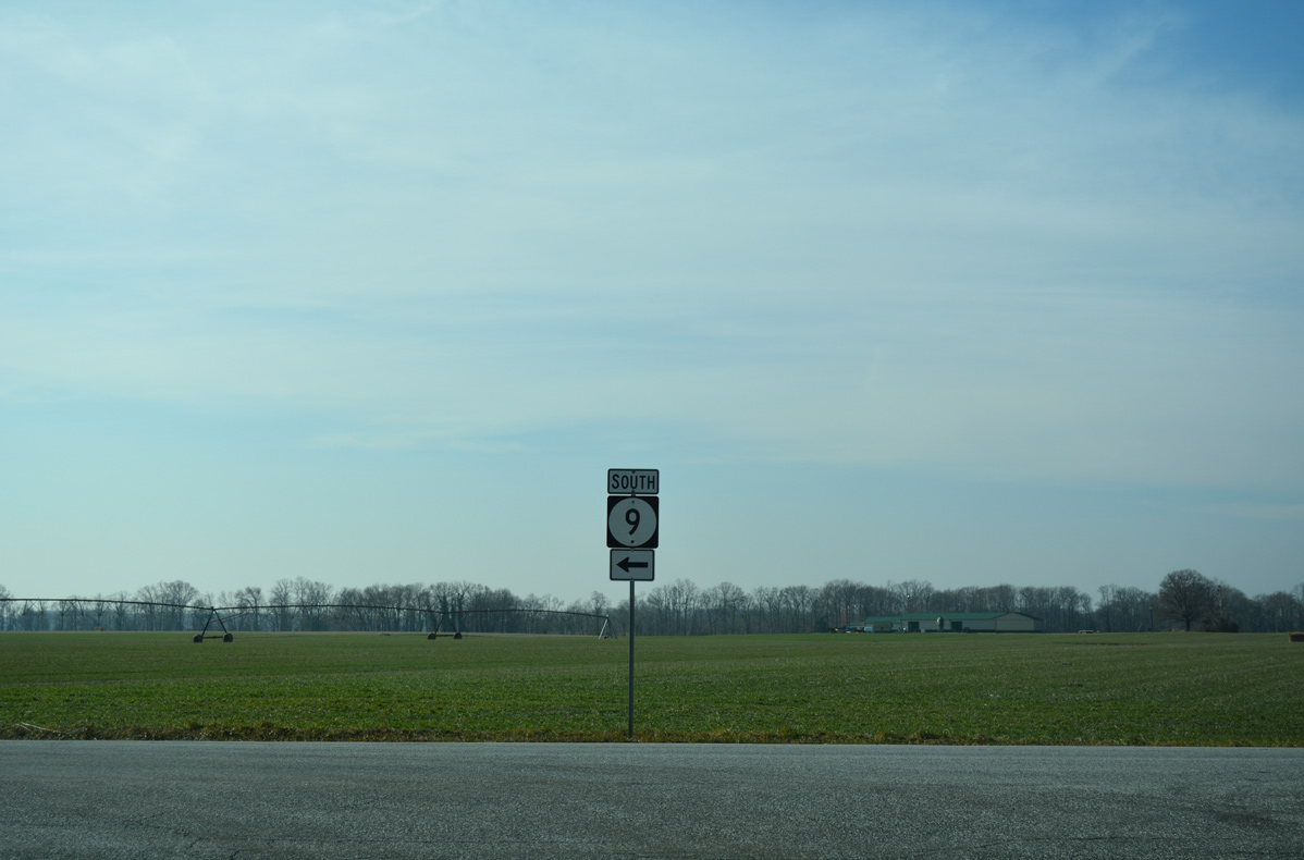
An end shield for SR 9 stands beside the southbound entrance ramp for SR 1 to Frederica, Milford and Rehoboth Beach.
12/27/25


References:
Anderson, Kraig. (n.d.). Reedy Island Rear Range, DE. Lighthousefriends.com. https://www.lighthousefriends.com/light.asp?ID=457
Photo Credits:
- Alex Nitzman: 01/15/17, 12/23/24, 12/25/25, 12/27/25
Connect with:
Page Updated Friday January 09, 2026.