
State Route 15 South - Wyoming to Milford

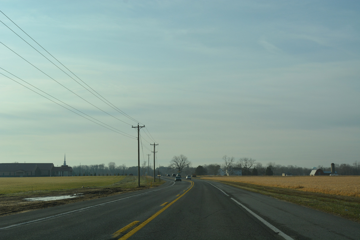
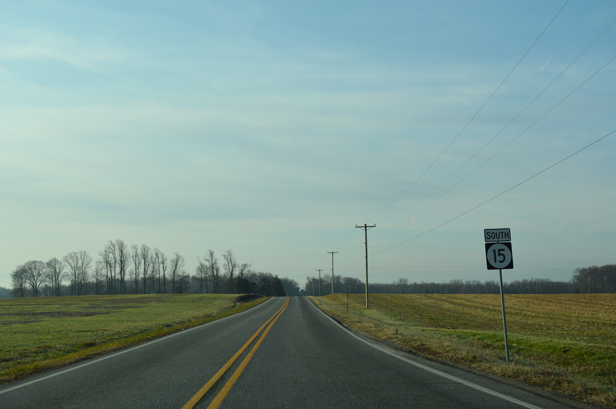
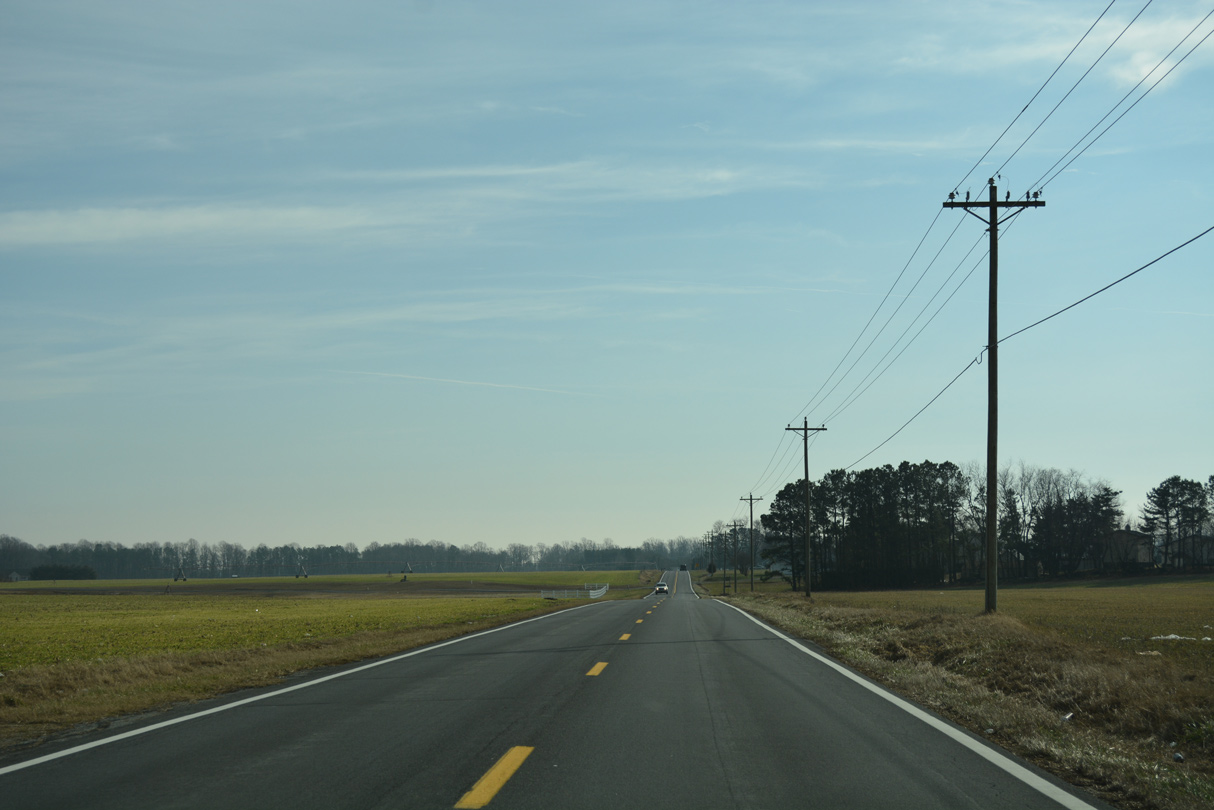
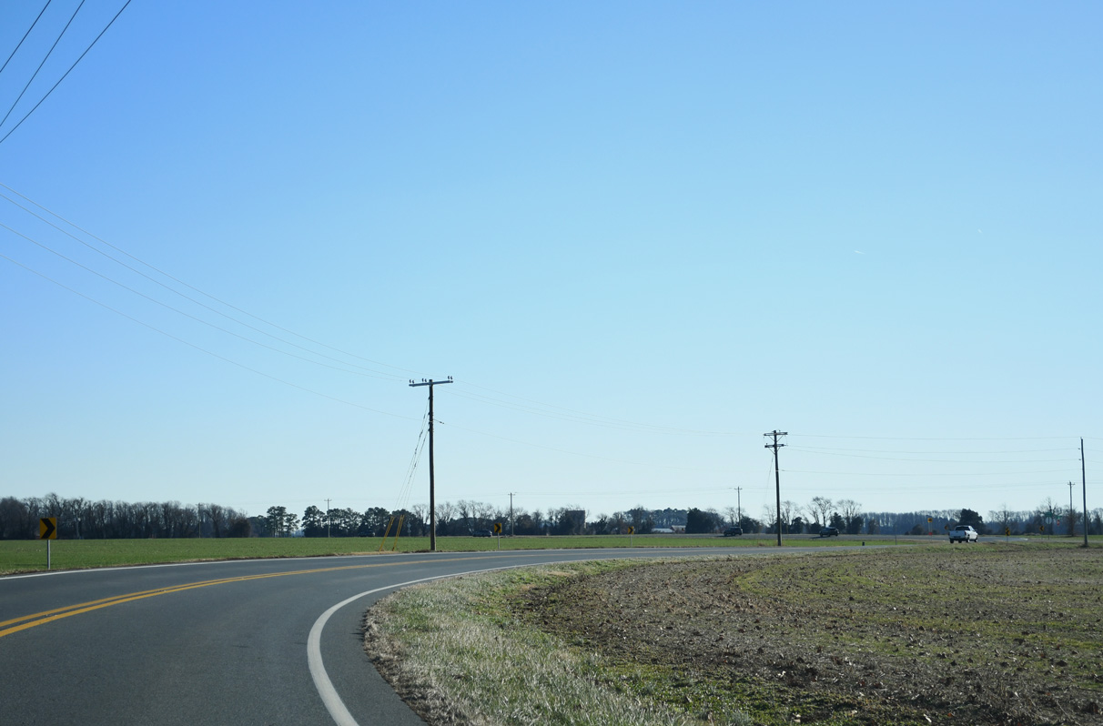
Advancing outside the Dover city limits, farm land spreads into view on the stretch of SR 15 south from POW/MIA Parkway to Papen Lane.
01/16/17
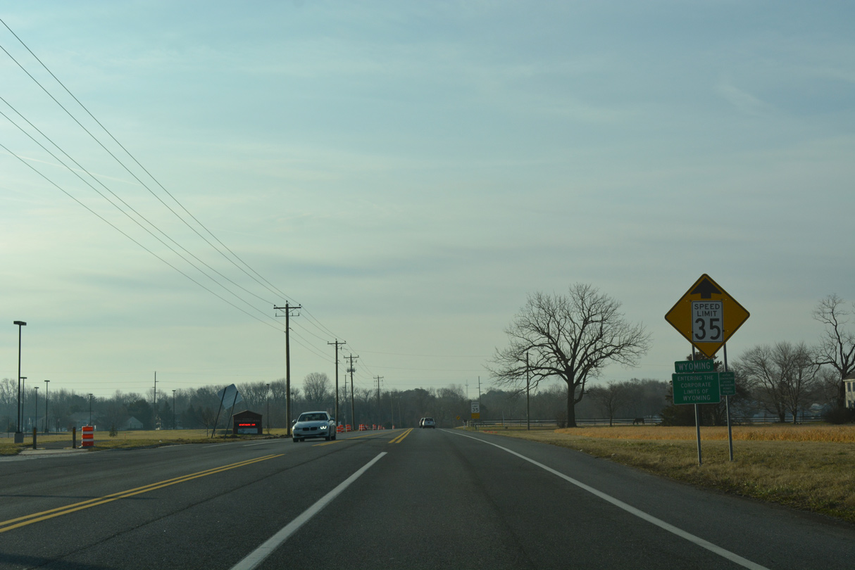
The town limits of Wyoming extend northward along SR 15 toward Papen Lane.
01/16/17
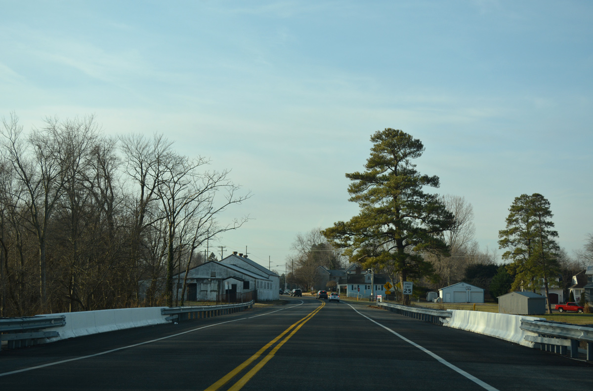
Speed limits reduce to 35 than 25 miles per hour as the state route crosses Isaac Branch into the Wyoming town center.
01/16/17
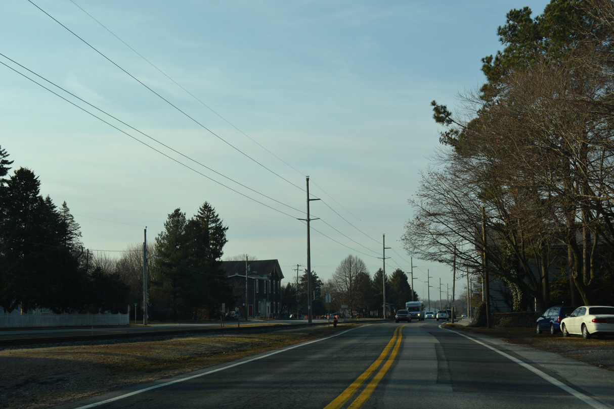
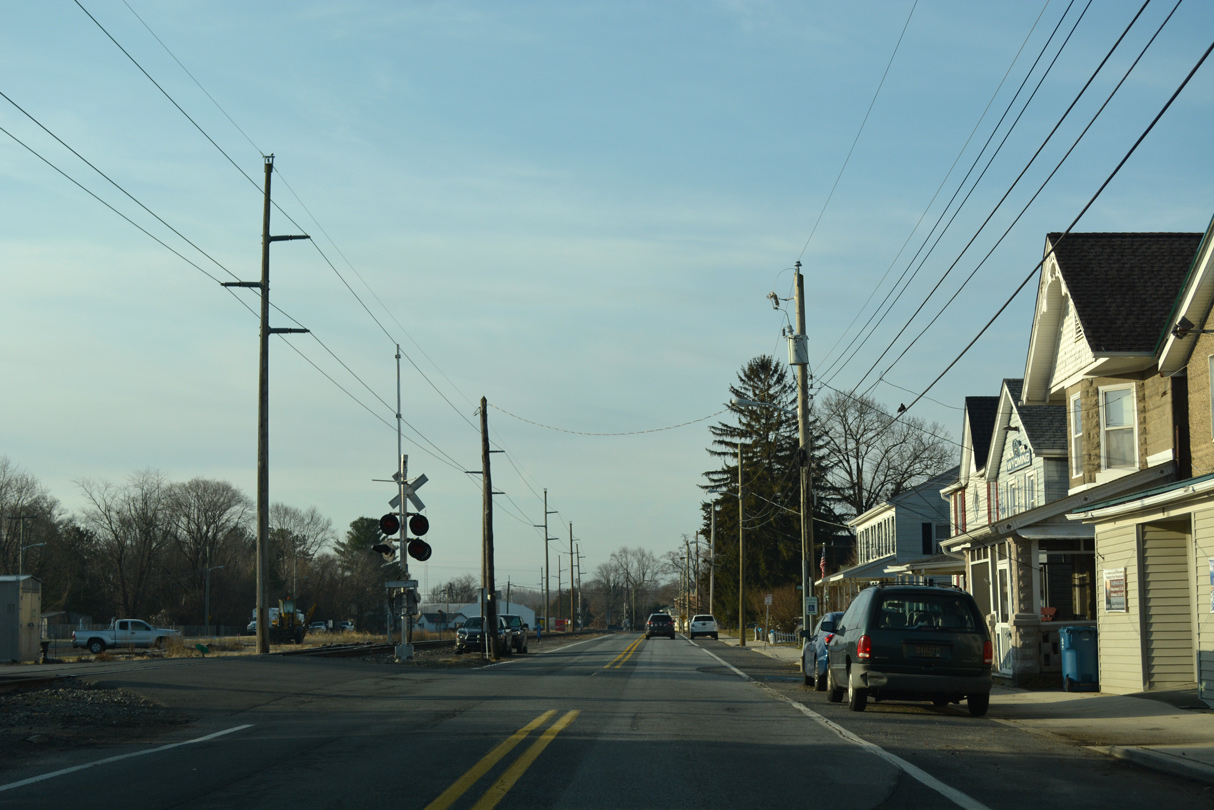
SR 15 (Railroad Avenue) parallels a Norfolk Southern Railroad southward from Front Street through Wyoming.
01/16/17
Camden Wyoming Avenue provides a cutoff from SR 15 south to SR 10 east through the adjacent town of Camden.
01/16/17
Railroad Avenue south defaults onto Southern Boulevard as SR 15 turns west to leave Wyoming.
01/16/17
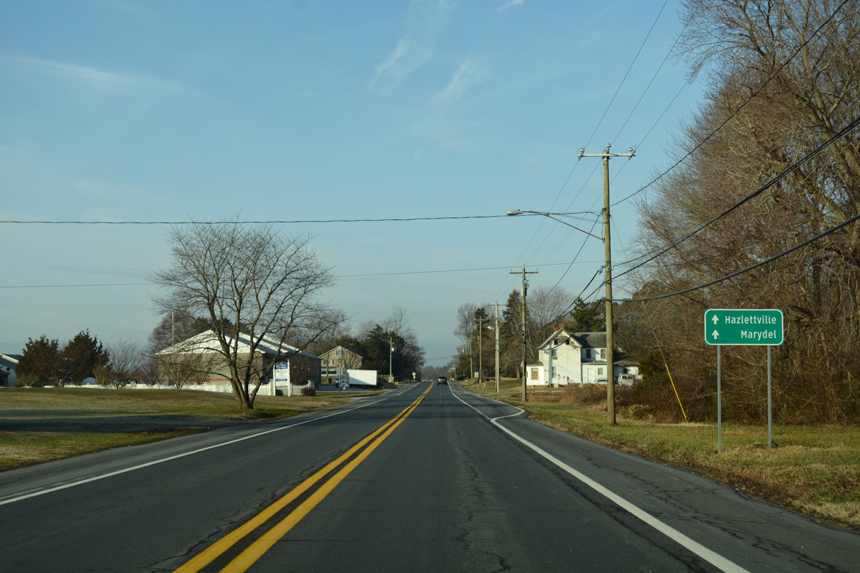
Westville Road extends Southern Boulevard west beyond Wyoming to Hazletteville.
01/16/17
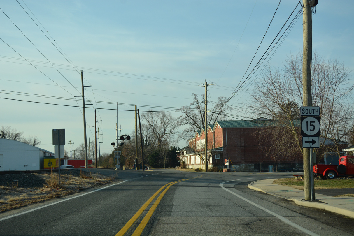
SR 15 splits with Westville Road to join Moose Lodge Road south.
01/16/17
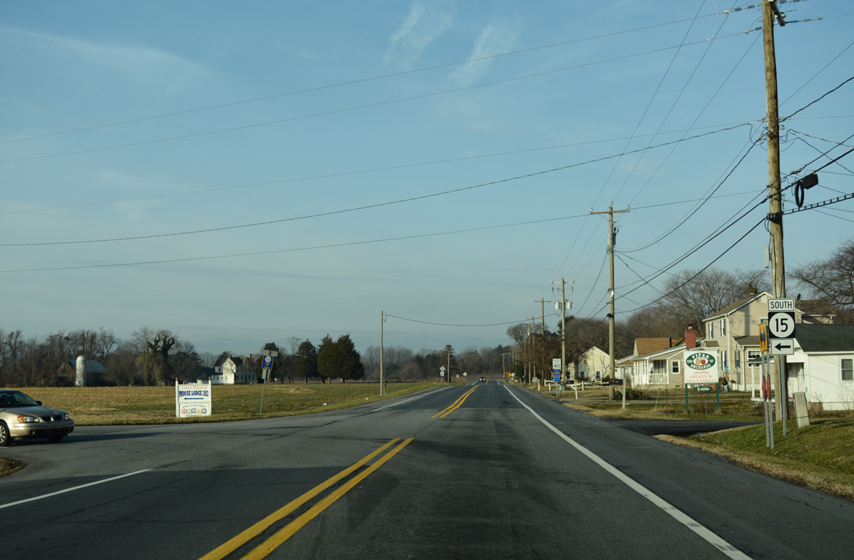
Moose Log Road lines the western periphery of Wyoming as SR 15 advances south to SR 10.
01/16/17
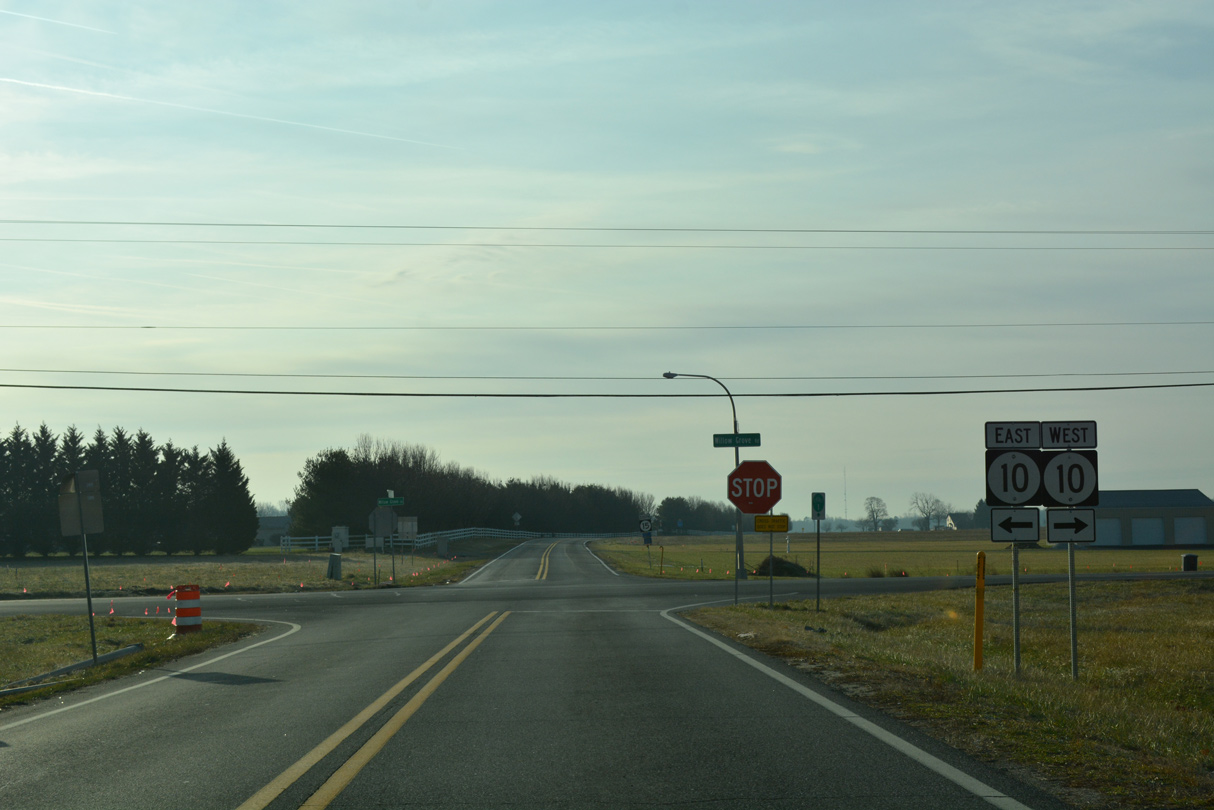
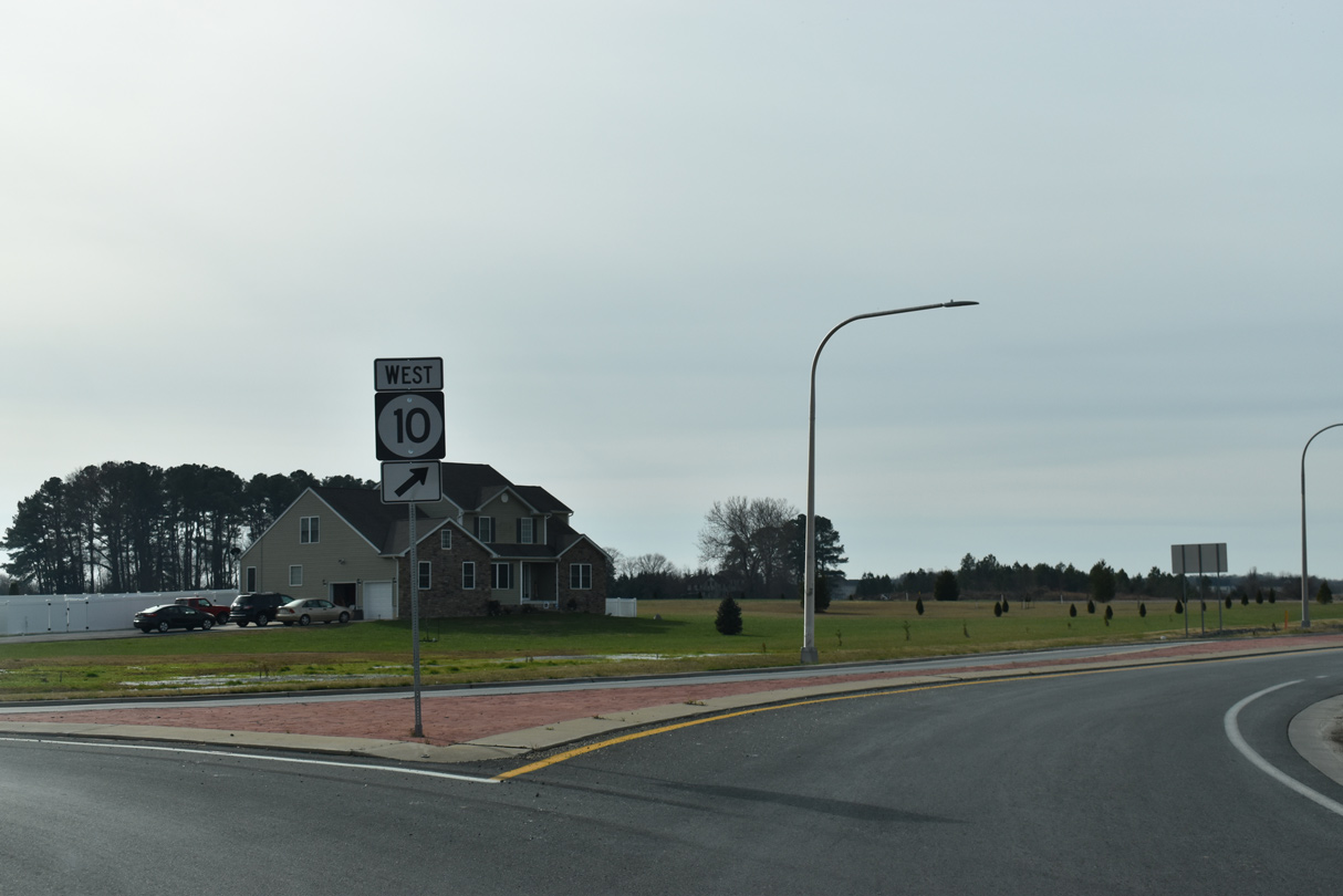
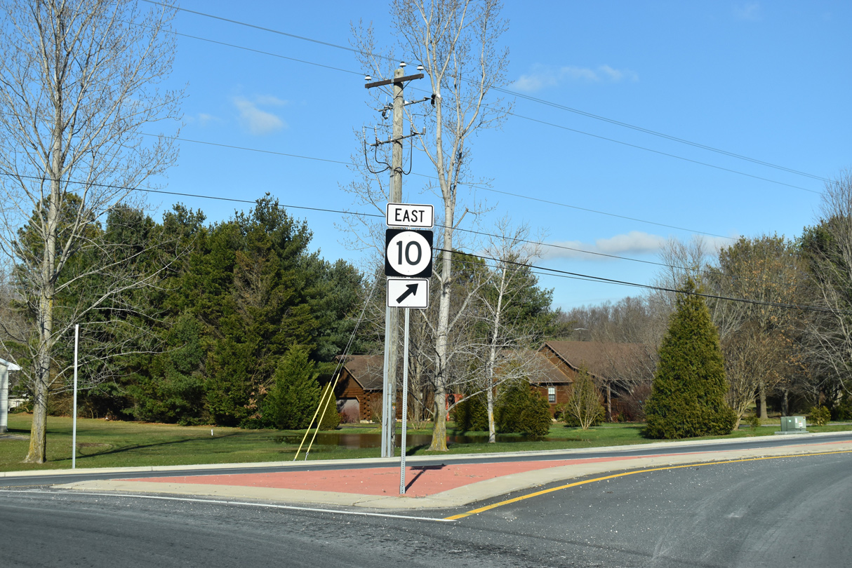
SR 10 (Willow Grove Road) angles southwest from Camden to meet SR 15 in a quasi suburban area.
01/16/17
A four month long construction project underway by April 2017 replaced the intersection at SR 10/15 with a roundabout.1
12/19/20
12/23/24
12/18/20

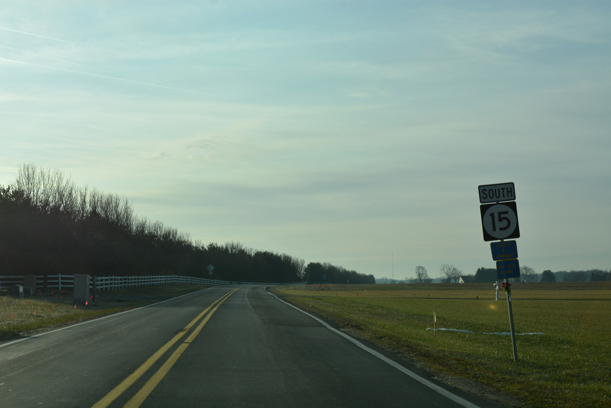
South from SR 10, SR 15 follows Dundee Road between the Wynn Wood neighborhood and the platted Ponds at Willow Grove subdivision.
01/16/17
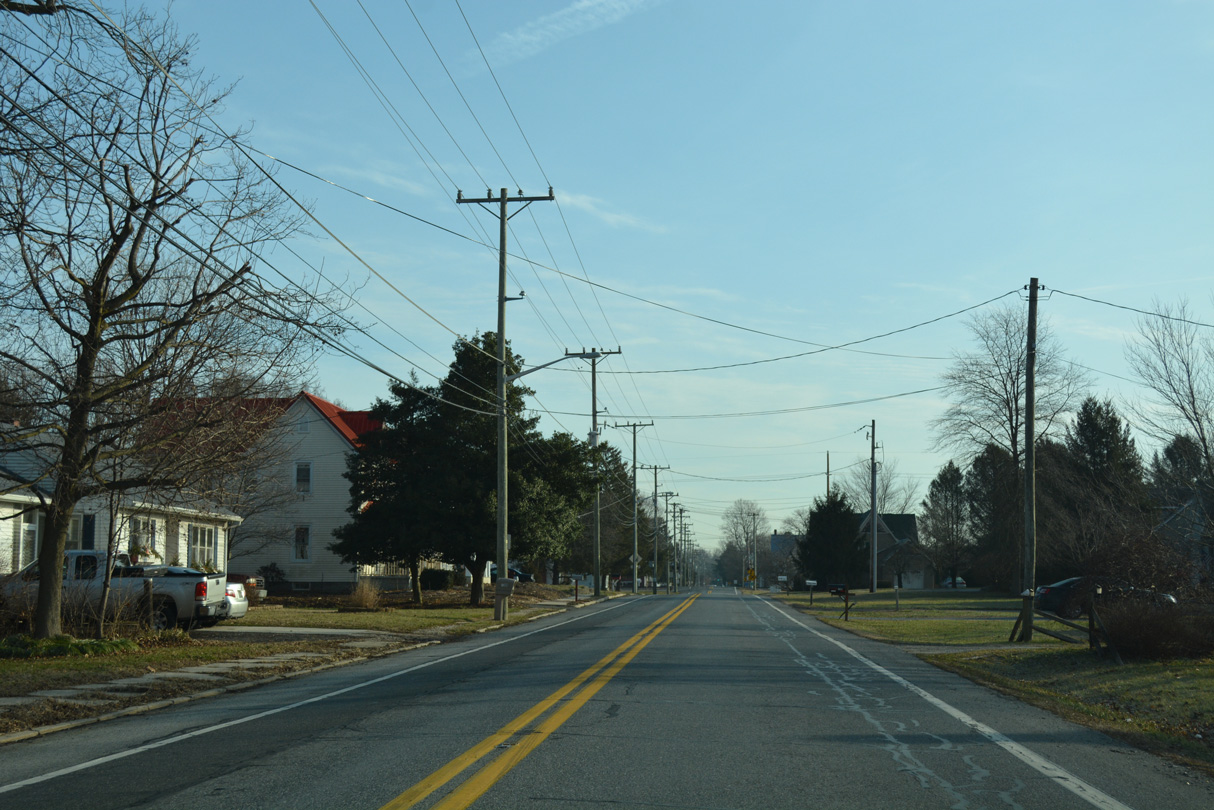
SR 15 (Dundee Road) crosses into the town of Camden through agricultural areas south of Bison Road.
01/16/17
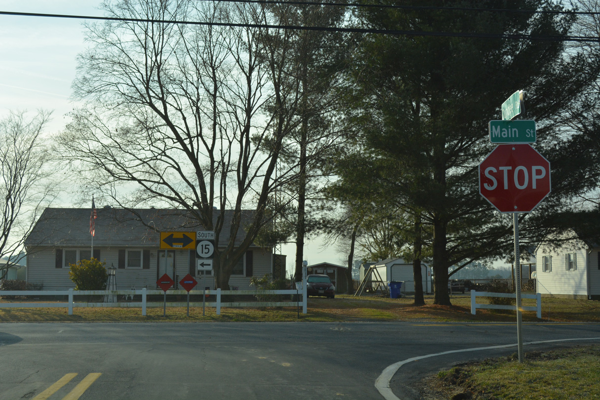
A short S-curve shifts SR 15 (Dundee Road) east across Tidbury Creek into the rural town of Woodside. The state route combines with SR 10 Alternate at an unmarked intersection with Main Street.
01/16/17
Neither route is acknowledged at the start of the 0.51 mile overlap for SR 10 Alt and SR 15 on Main Street east through Woodside.
01/16/17

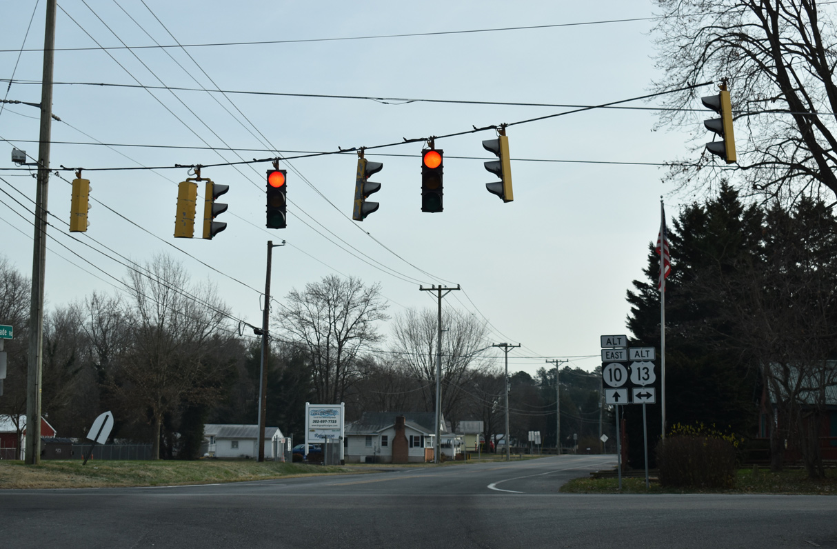
U.S. 13 ALT leads SR 15 south 1.76 miles to U.S. 13 (Dupont Highway) near Canterbury. Upper King Road takes U.S. 13 ALT north to Main Street through Camden.
12/19/20
SR 10 Alt arcs northeast from SR 15 (Upper King Road) and U.S. 13 Alt along Walnut Shade Road to Browns Corner.
12/19/20
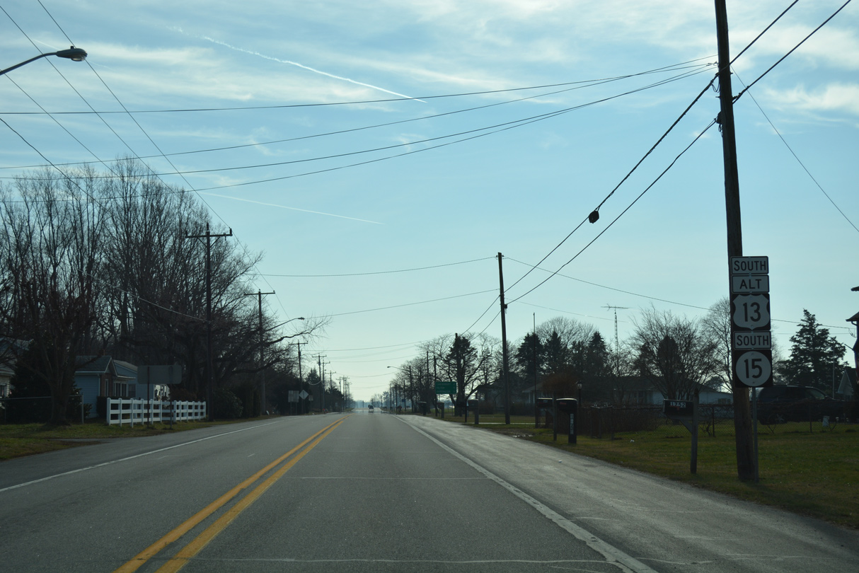
U.S. 13 Alternate/SR 15 combine for 1.76 miles south from Woodside.
01/15/17
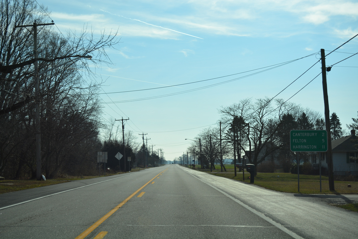
Canterbury lies just beyond the end of U.S. 13 ALT along SR 15 (Canterbury Road). Felton lies west of U.S. 13 and SR 15 along SR 12.
01/15/17
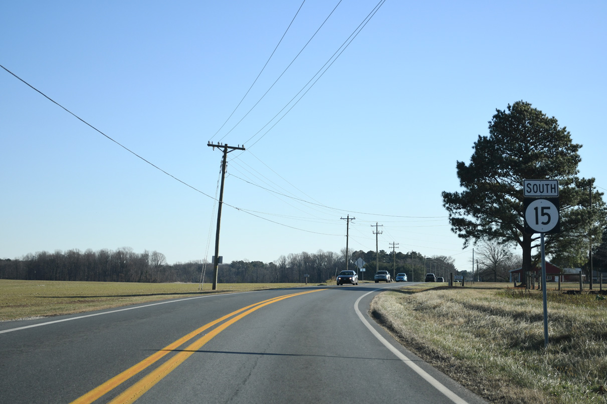
SR 15 briefly joins U.S. 13 south between Upper King Road and adjacent Canterbury Road.
01/15/17
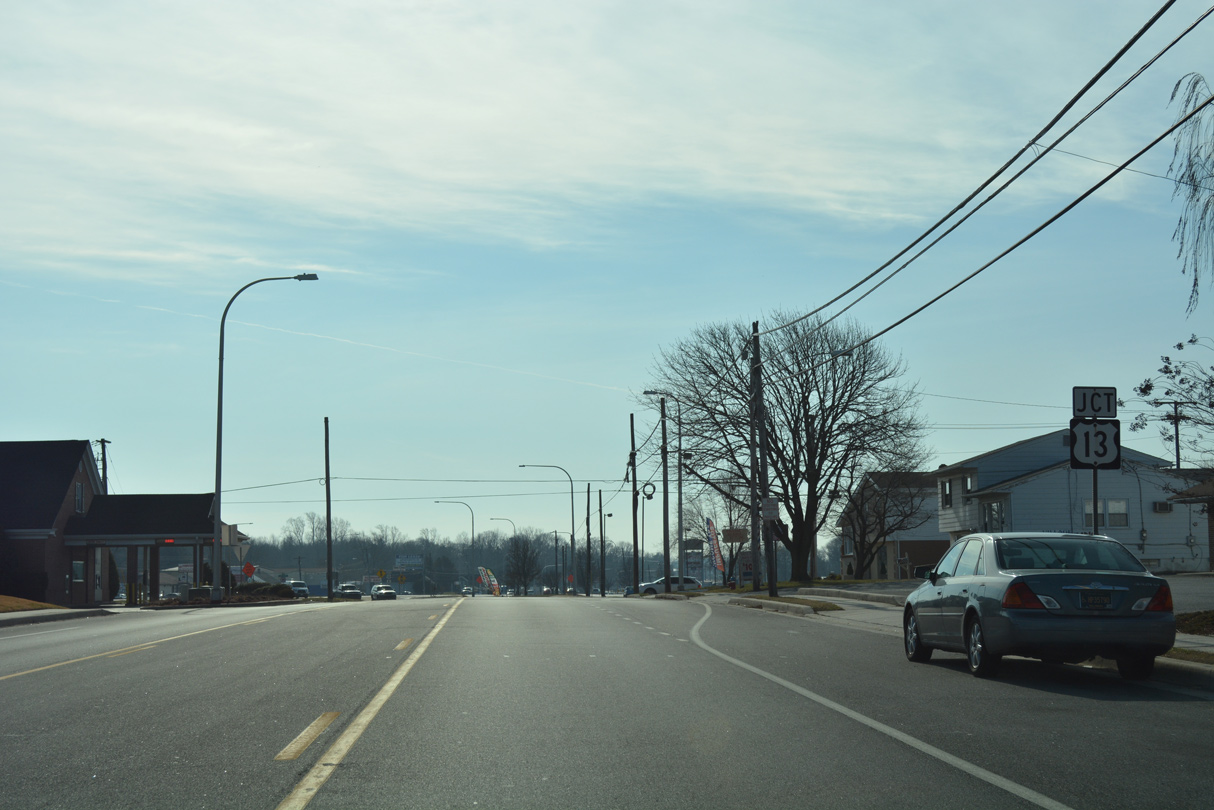
Upper King Road curves east to intersect U.S. 13 (Dupont Highway) at a 90 degree intersection. U.S. 13 Alternate ends here.
01/15/17
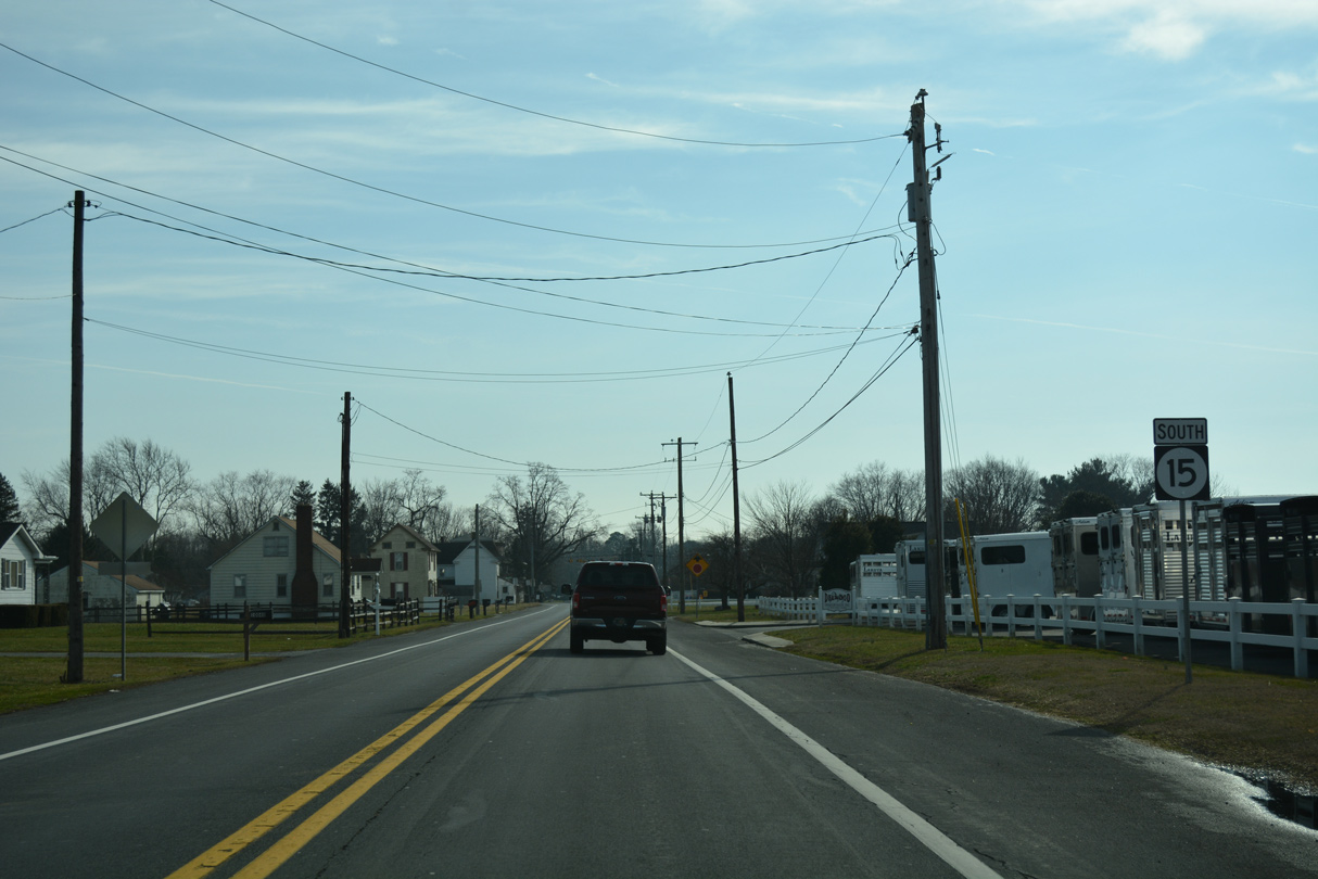
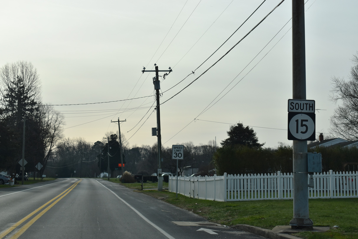
SR 15 resumes south from U.S. 13 (Dupont Highway) through the Canterbury community.
01/15/17
SR 15 advances 0.22 miles from U.S. 13 (S Dupont Highway) to Irish Hill Road (Rd 31).
12/19/20
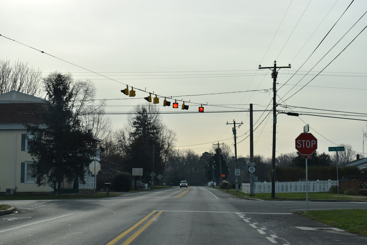
Irish Hill Road heads west 0.14 miles from SR 15 (Canterbury Road) to U.S. 13 where Evens Road (Rd 32) takes over into the town of Viola. Irish Hill Road serves a bevy of subdivisions east to Magnolia.
12/19/20
Canterbury Road passes between a mobile home park and the Woodbury subdivision ahead of Hudson Branch.
12/19/20
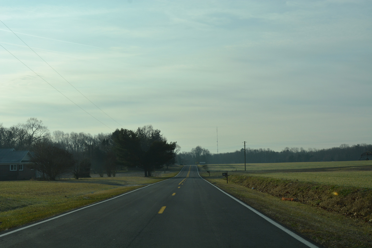
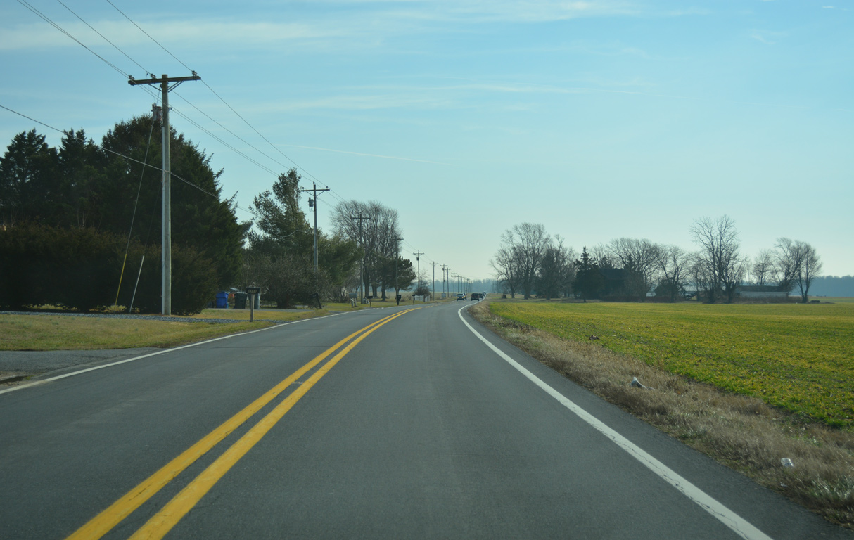
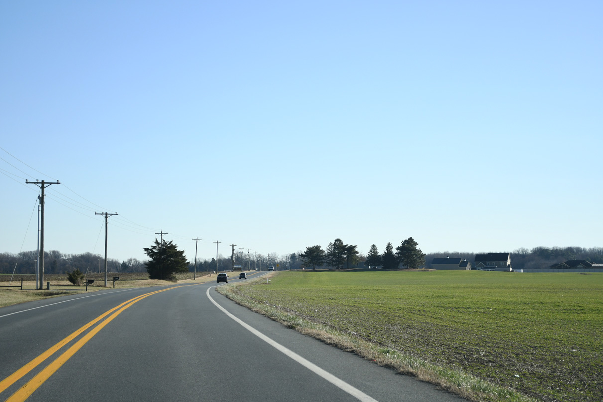
The landscape along SR 15 (Canterbury Road) opens through agricultural areas south from Andrews Lake Road.
01/15/17
Scrap Tavern Road branches south from SR 15 to Killens Pond State Park as Canterbury Road crosses Pratt Branch.
01/15/17
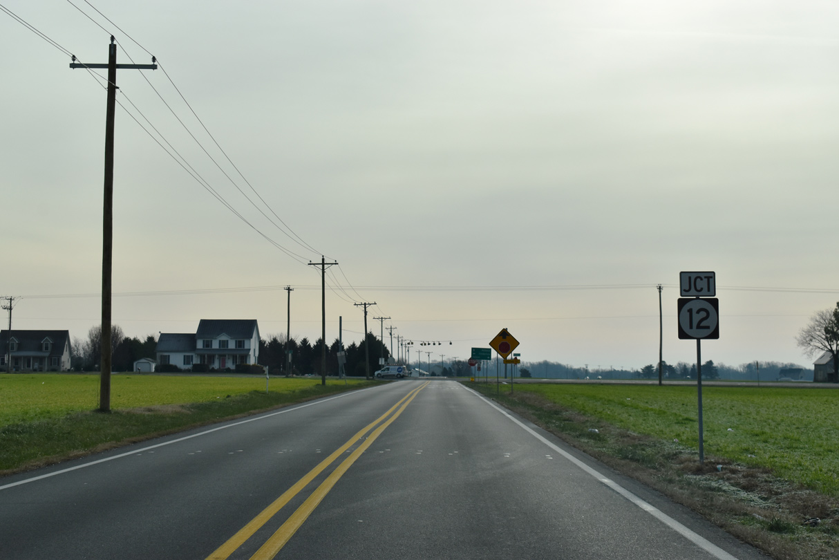
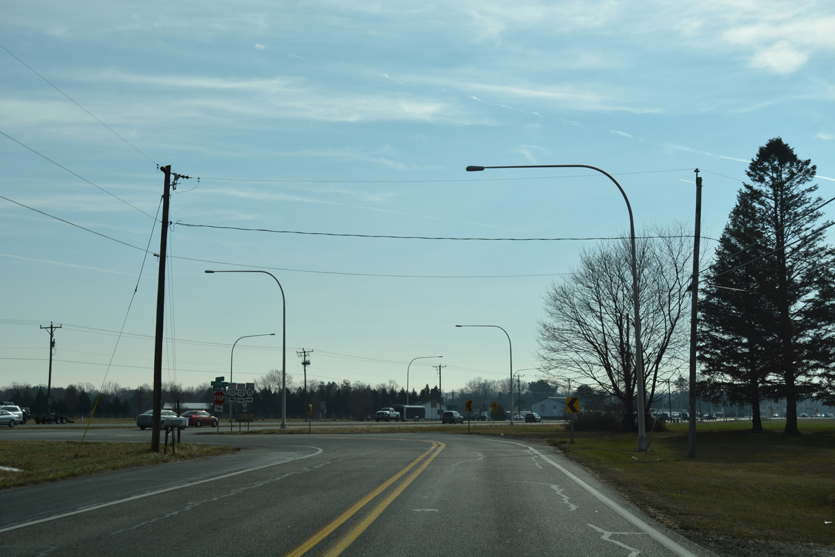
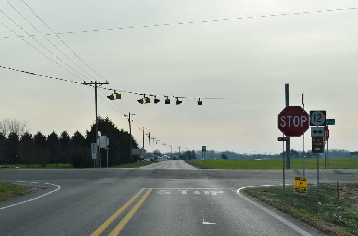
SR 12 and SR 15 cross paths at rural Scrap Tavern Crossroads.
12/19/20
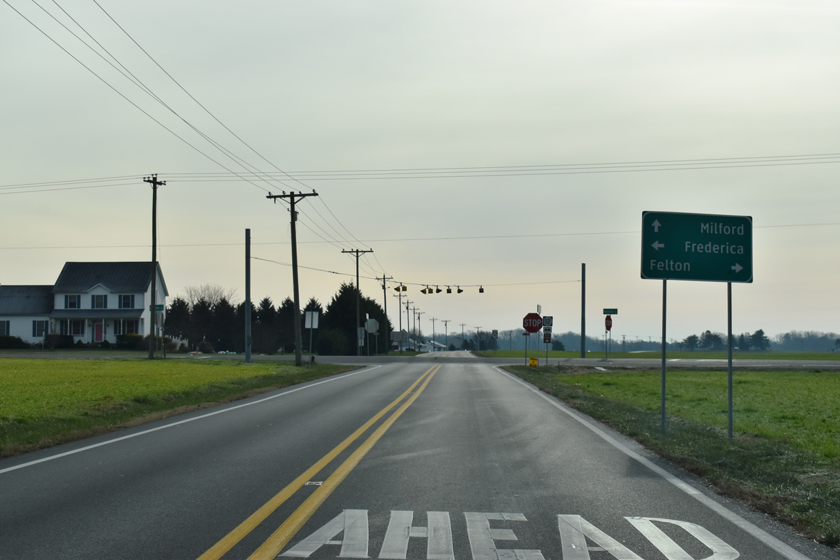
SR 12 (Midstate Road) leads west to U.S. 13 (Dupont Highway) at the town of Felton. SR 12 east continues by a number of subdivisions to the town of Frederica.
12/19/20
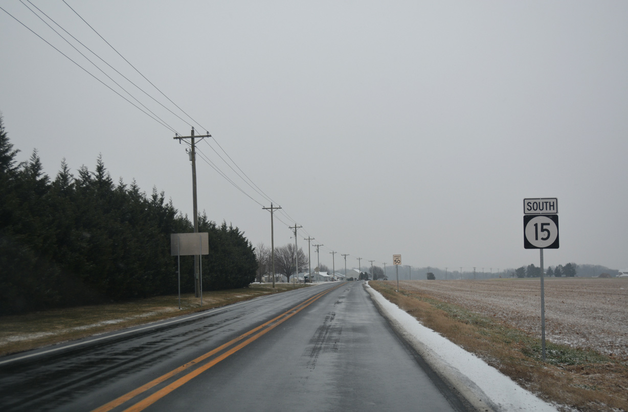
SR 12 goes for 16.19 miles between MD 314 at Whiteleysburg and SR 1 (Bay Road) to the north of Frederica.
12/19/20
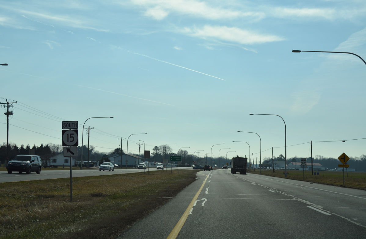
SR 15 advances south from Midstate Road across farmland to Coursey Pond. This confirming marker was removed by 2023.
12/30/17
Canterbury Road crosses farm land south ahead of Roesville Road.
12/22/24
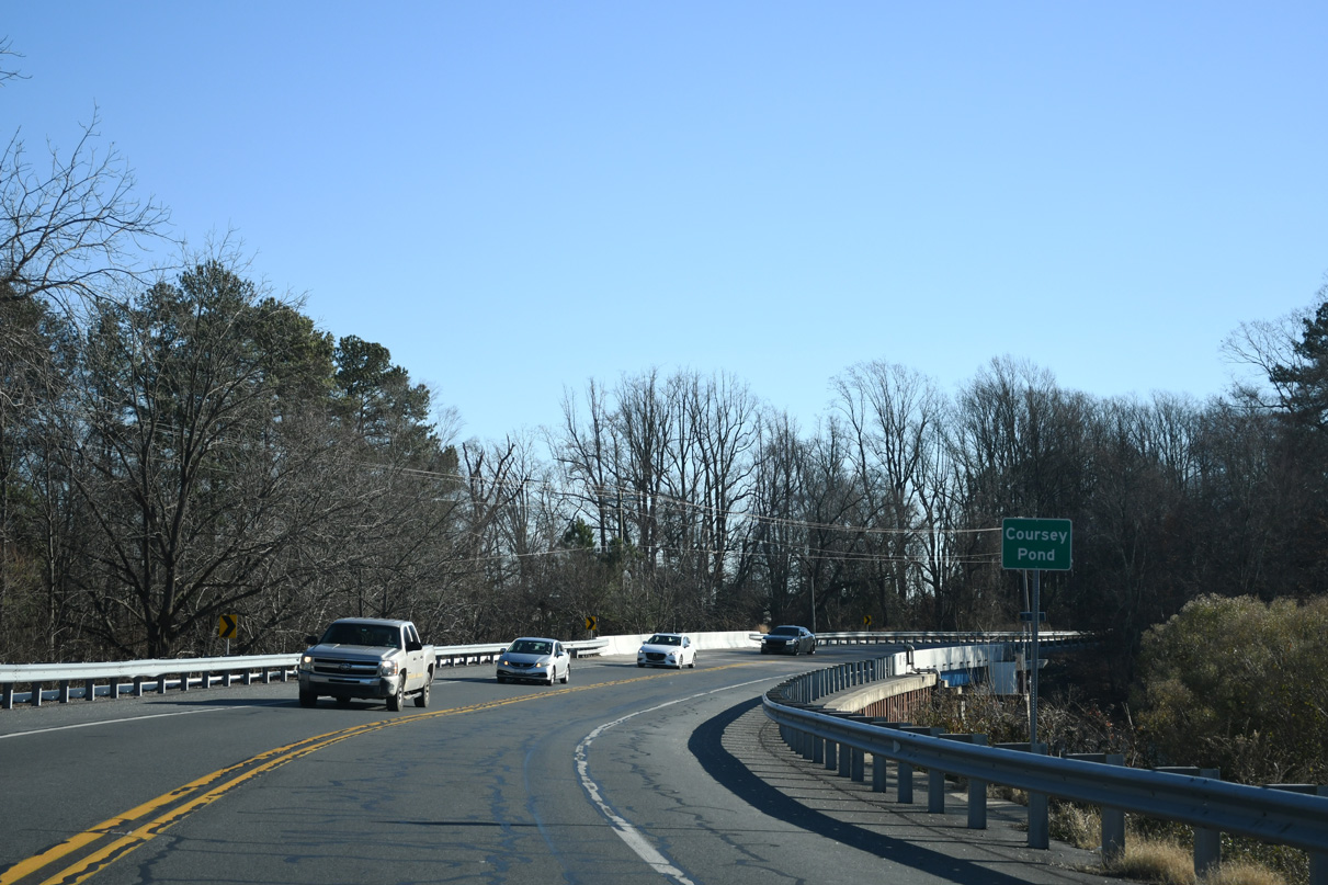
SR 15 south next crosses Coursey Pond. Coursey Pond is part of the Murderkill River flowing east into Delaware Bay at Bowers Beach.
12/22/24

Forthcoming Carpenter Bridge Road (Rd 35) joins U.S. 13 outside the city of Harrington with SR 12 east into the town of Frederica.
12/22/24
SR 15 (Canterbury Road) continues south from Carpenter Bridge Road to McCauley Pond.
12/22/24
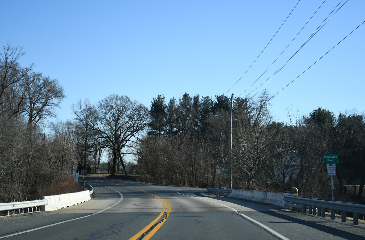
McCauley Pond lies along Browns Branch, which flows northeast from Harrington into the Murderkill River.
12/22/24
Canterbury Road navigates through an S-curve south between Blue Jay Lane Ward (Road 392) and Branch Lane (Road 399).
12/22/24
The final reassurance marker for SR 15 south appears after the intersection with Airport Road in Milford.
12/30/17
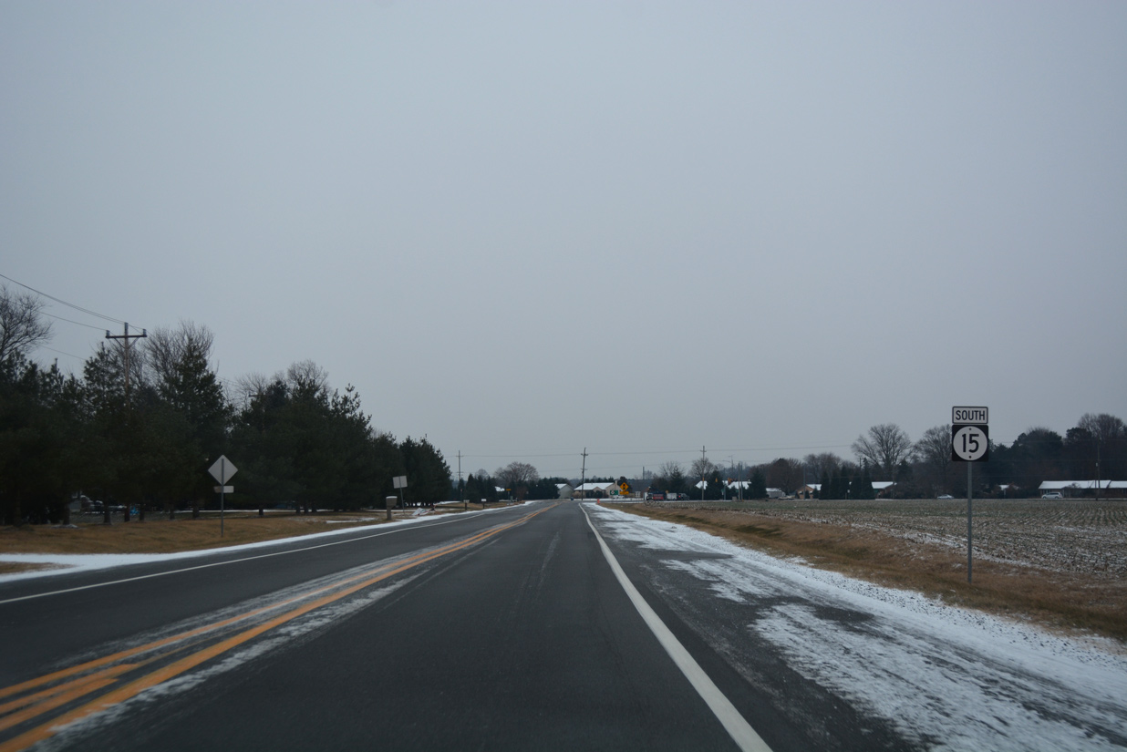
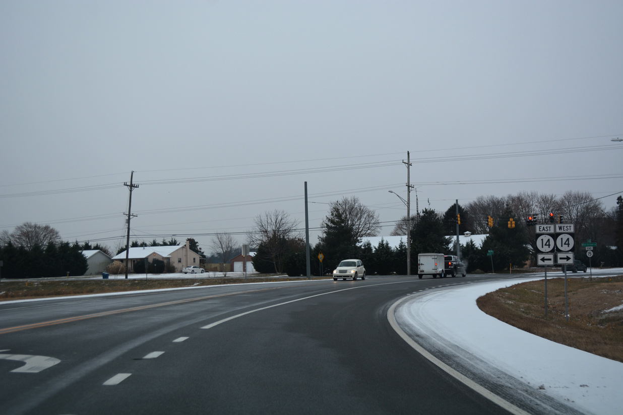
SR 15 (Canterbury Road) ends at the suburban northwest side of Milford at SR 14 (Milford Harrington Highway).
12/30/17
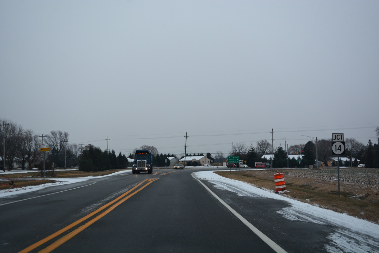
SR 14 (Milford Harrington Highway) takes a rural route west from Milford by the town of Houston to U.S. 13 in the city of Harrington.
12/30/17
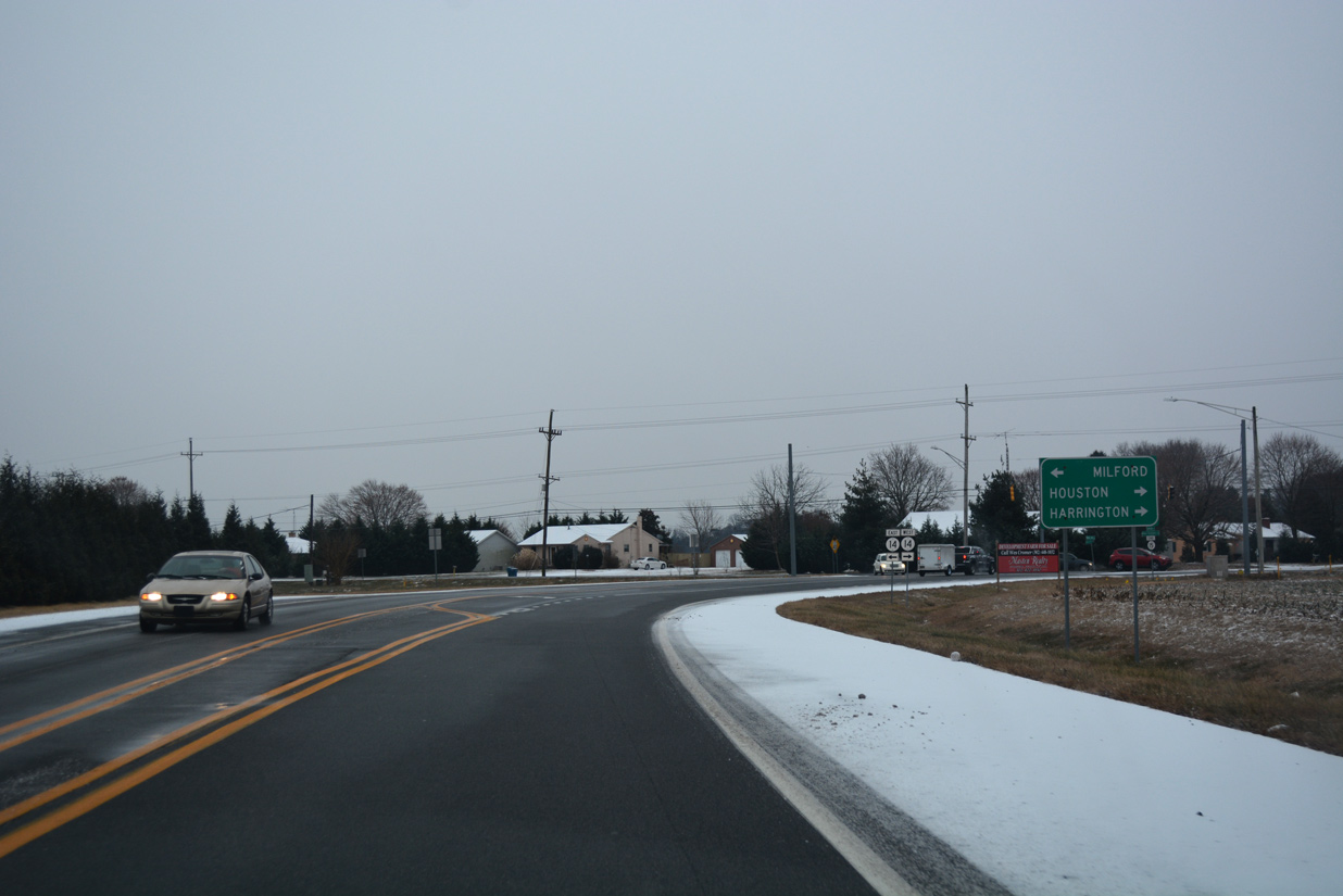
Traveling 19.12 miles overall, SR 14 west ends as MD 317 ahead of Denton. The state route east concludes where NE Front Street meets the Milford Bypass (SR 1).
12/30/17
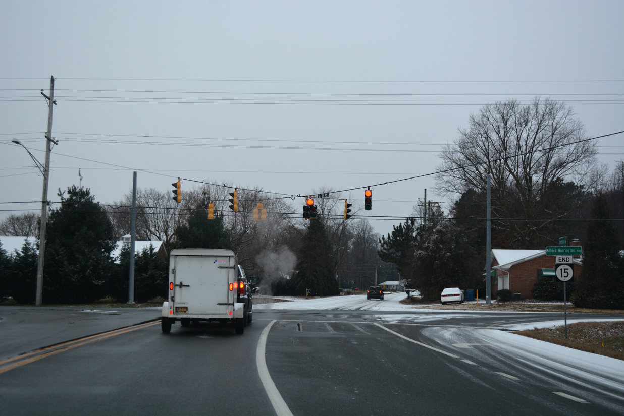
An end shield accompanies the signalized intersection of SR 15 south with Milford Harrington Highway. Holly Hill Road extends southwest from SR 14 to School Street west to Houston and Williamsville Road on the outskirts of west Milford.
12/30/17


Photo Credits:
- Alex Nitzman: 01/15/17, 01/16/17, 12/30/17, 12/18/20, 12/19/20, 12/22/24, 12/23/24
Connect with:
Page Updated Friday January 03, 2025.