
State Route 16 West

 West
West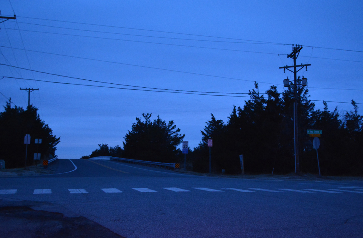
SR 16 west begins at the intersection of Broadkill Road and Bay Shore Drive (Rd 16A) in the community of Broadkill Beach. The state route spans Broadkill Sound into Prime Hook National Wildlife Refuge.
12/22/24
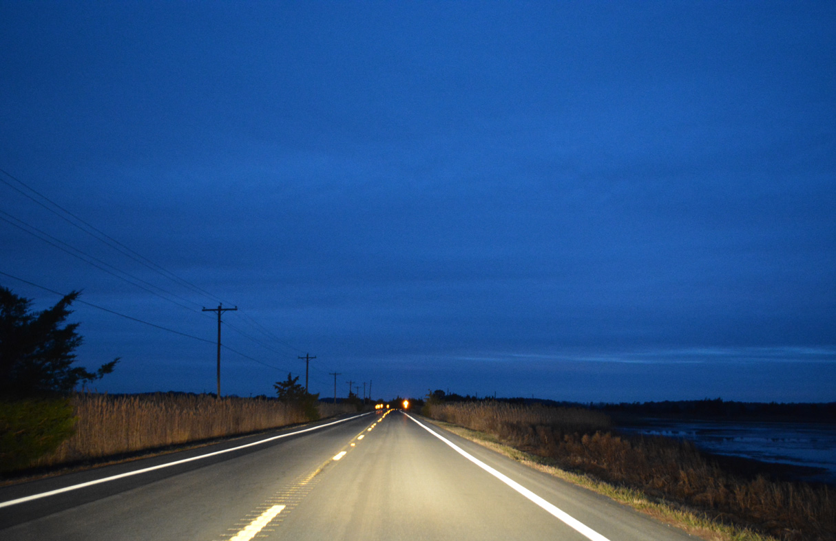
Broadkill Road travels along a causeway through Prime Hook National Wildlife Refuge to Petersfield Island. Ducks and geese populate the area marshland.
12/22/24

SR 16 (Broadkill Road) turns northwest from Petersfield Island across wetlands in Prime Hook National Wildlife Refuge before resuming southwest along Broadkill Neck.
12/22/24
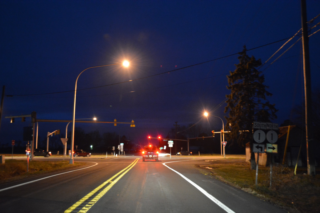
Broadkill Road emerges from Prime Hook National Wildlife Refuge at the Woodfield Preserve development ahead of the Grants Way community and Rookery South Golf Course. The junction with SR 1 (Coastal Highway) follows on SR 16 west.
12/22/24

Construction underway from Summer 2022 to Summer 2026 replaced the signalized intersection joining SR 16 (Broadkill Road) and SR 1 (Coastal Highway) with a diamond interchange.
12/22/24

Confirming marker for SR 16 posted west along Broadkill Road after the entrance ramp for SR 1 southbound. The overpass taking SR 1 (Coastal Highway) across SR 16 opened to traffic in April 2025.
12/27/25

The Maryland State House in Annapolis is 79 miles to the west via MSR 16, MSR 404, U.S. 50 and MD 450. SR 16 meets U.S. 13 at in the town of Greenwood in 17.4 miles.
12/27/25
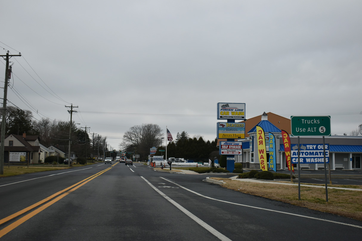
SR 16 (Broadkill Road) runs across the commercialized north side of Milton and meets SR 5 at Union Street. SR 5 leads south to Downtown along a route not suited for truck traffic. Therefore a truck route was established along SR 5 ALT bypassing the town to the west.
12/27/25

SR 16 (Broadkill Road) intersects SR 5 (Union Street) at the southwest corner of the Milton Park Center retail area. Signage initially references SR 5 ALT instead of SR 5, though SR 16 meets both routes at Union Street.
12/27/25
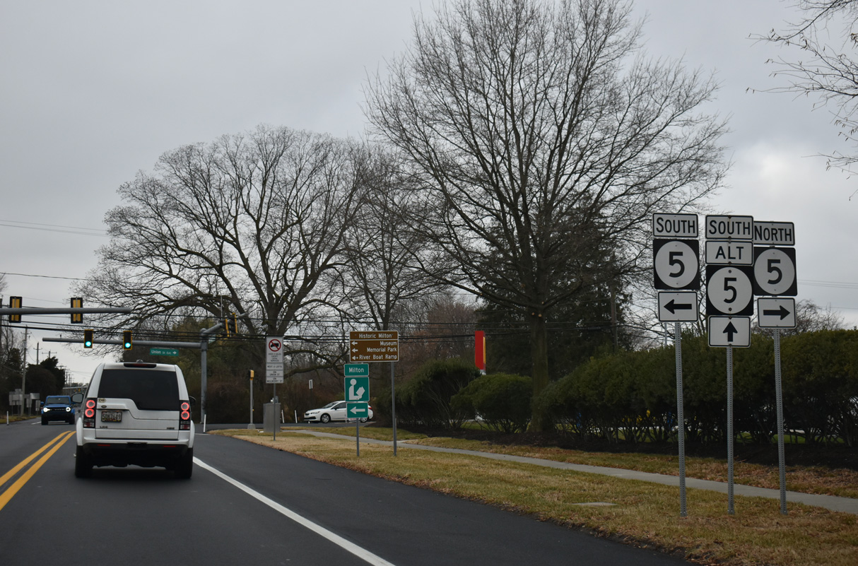
SR 5 (Union Street Extension) travels north from Milton to SR 1 (Coastal Highway) at Waples Pond. Southward, SR 5 heads to Harbeson, Hollyville and Oak Orchard along Indian River Bay.
12/27/25
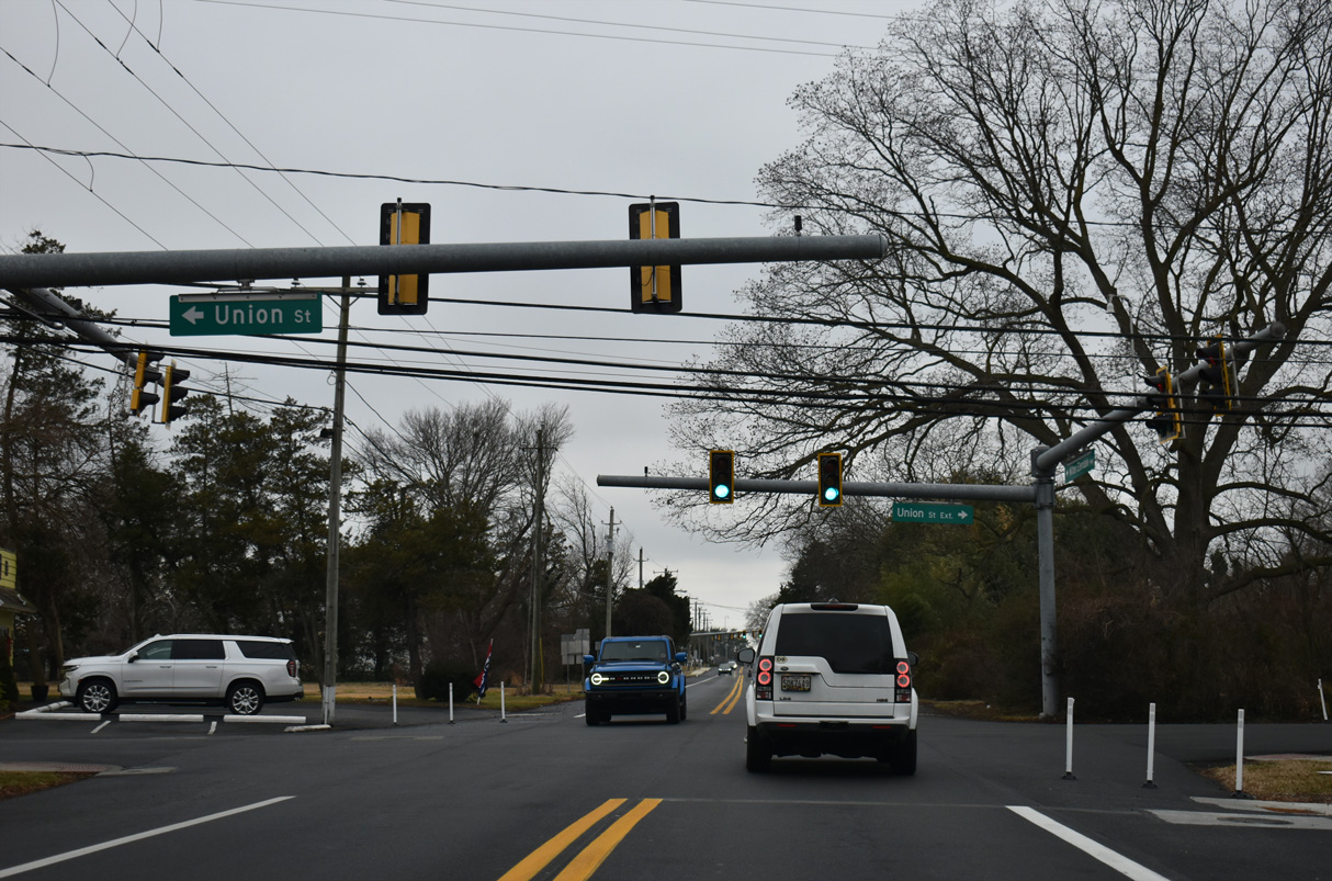
SR 5 ALT overlaps with SR 16 (Milton Ellendale Highway) west from SR 5 (Union Street) to SR 30 (Gravel Hill Road). SR 5 ALT combines with SR 30 south to Sand Hill Road east back to SR 5 (Harbeson Road).
12/27/25
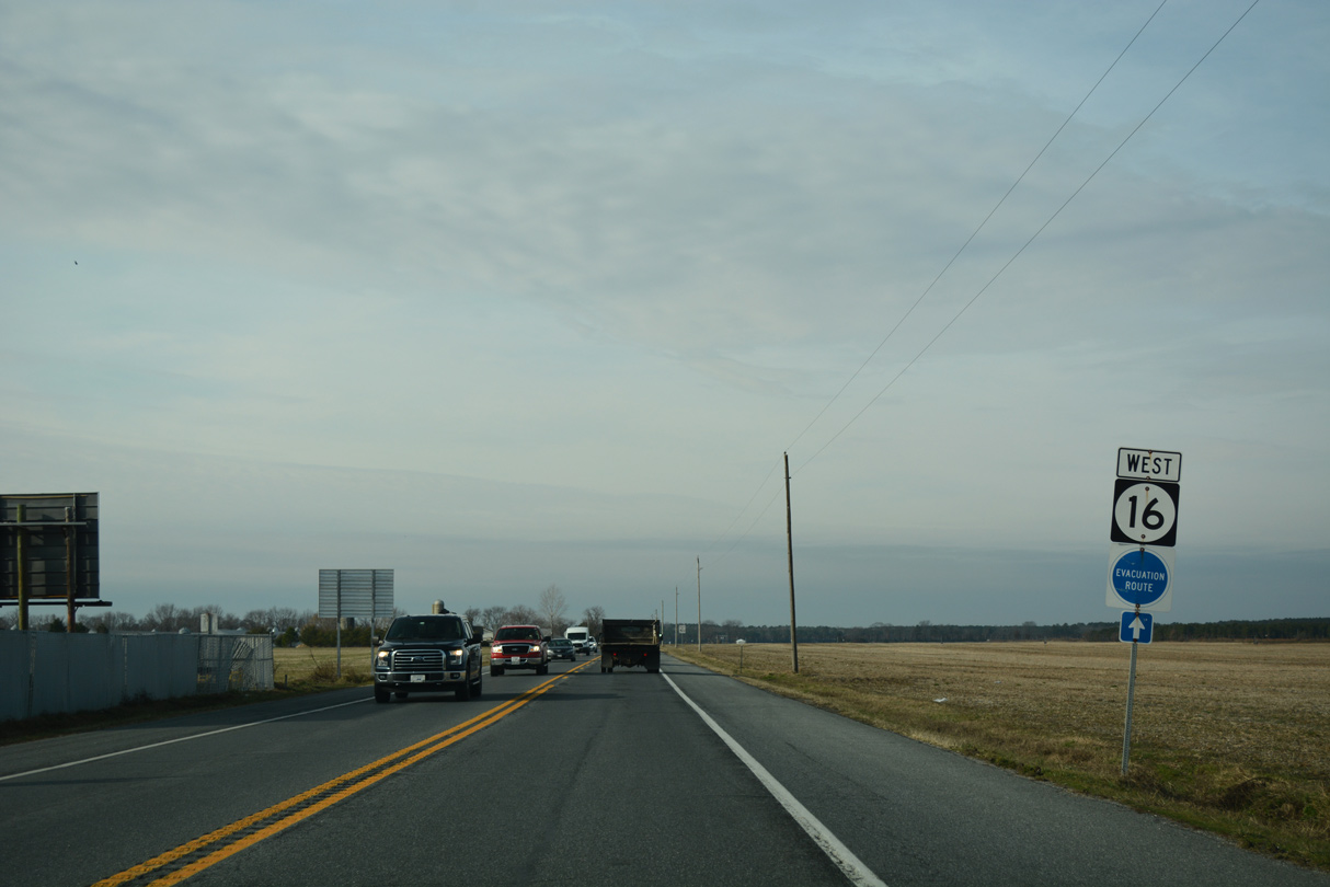
Leading away from SR 30 (Isaacs Road), SR 16 (Milton Ellendale Highway) runs west across open farm land.
01/16/17
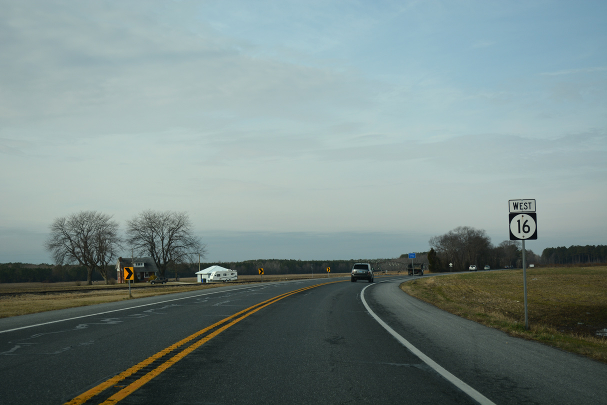
Milton Ellendale Highway shifts northwest at Saw Mill Road to run alongside the Delaware Coast Line Railroad for the next three miles.
01/16/17
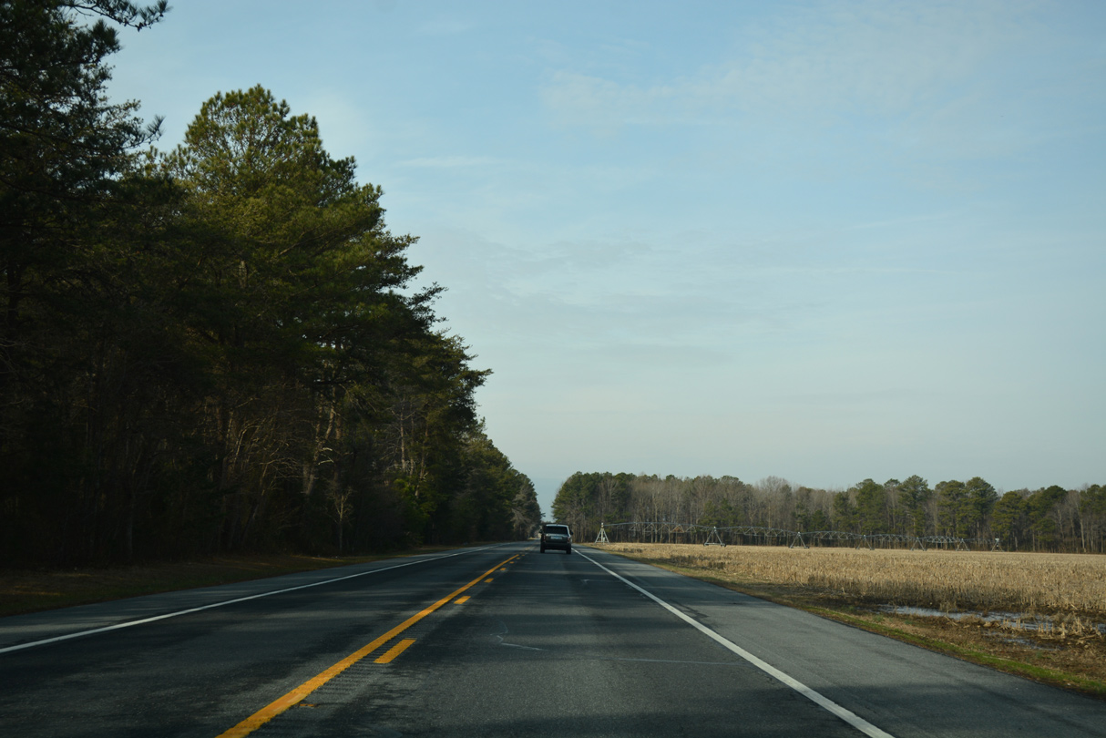
SR 16 passes south of the Pemberton Forest Preserve and north of a tract in Redden State Forest.
01/16/17
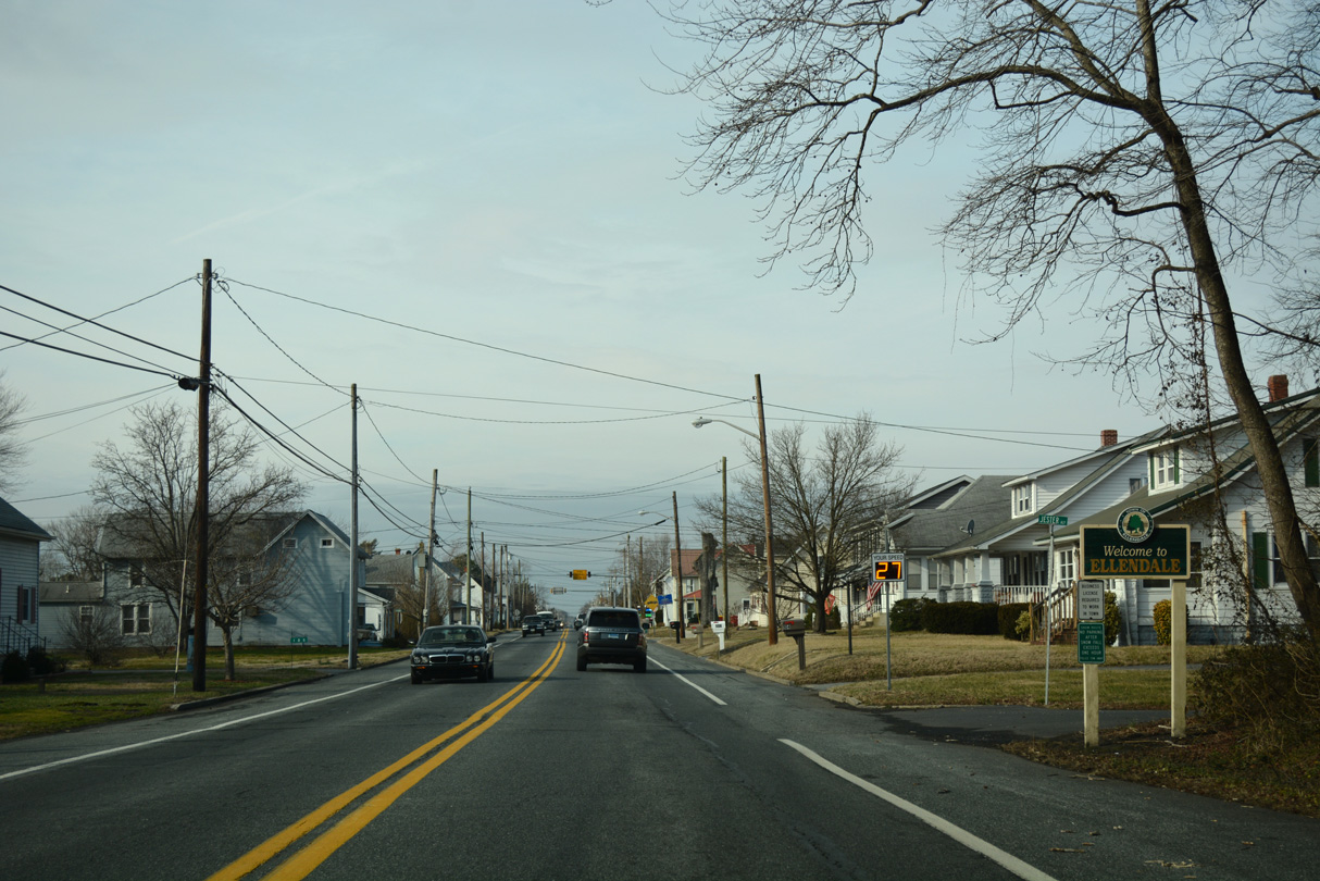
Hummingbird Road ties into SR 16 at New Market, just ahead of the Ellendale town line.
01/16/17
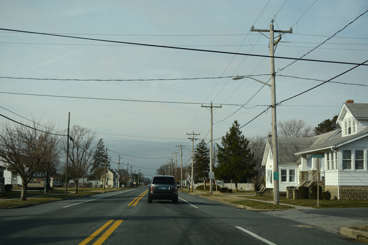
Main Street takes SR 16 through the heart of Ellendale. The small town was established in 1866 around the Junction and Breakwater Railroad Depot, and incorporated in 1905 as the Pennsylvania Railroad purchased the line.1
01/16/17

U.S. 113 bypasses Ellendale to the west along Dupont Boulevard, a four lane, divided highway.
01/16/17
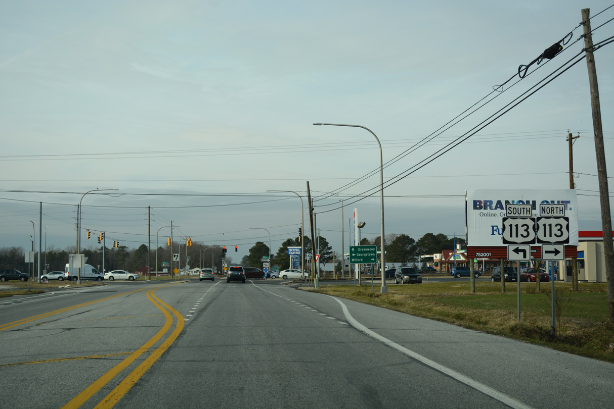
U.S. 113 travels 37 miles north from the Maryland line at Selbyville to SR 1 at Milford. Prior to 2004, the route continued north alongside SR 1 to Dover.
01/16/17
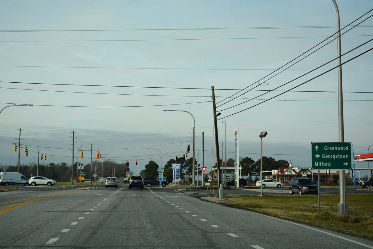
South from Ellendale, U.S. 113 (Dupont Boulevard) reaches the county seat of Georgetown in eight miles and Millsboro in 17 miles. The US highway concludes in Pocomoke City, Maryland.
01/16/17
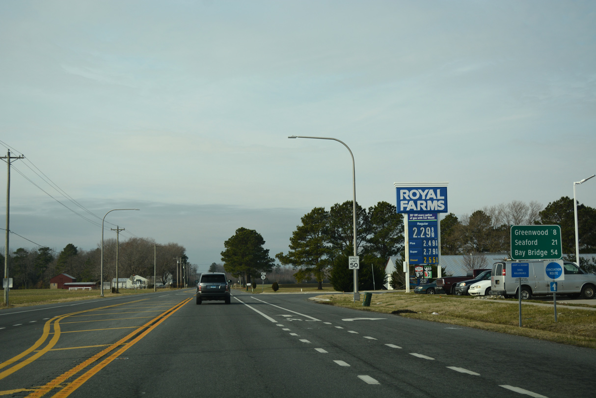
Greenwood lies eight miles west of U.S. 113 along SR 16 (Beach Highway) at U.S. 13. SR 16 west to MD 16, MD 404 and U.S. 50 leads motorists 54 miles west to the Chesapeake Bay Bridge.
01/16/17
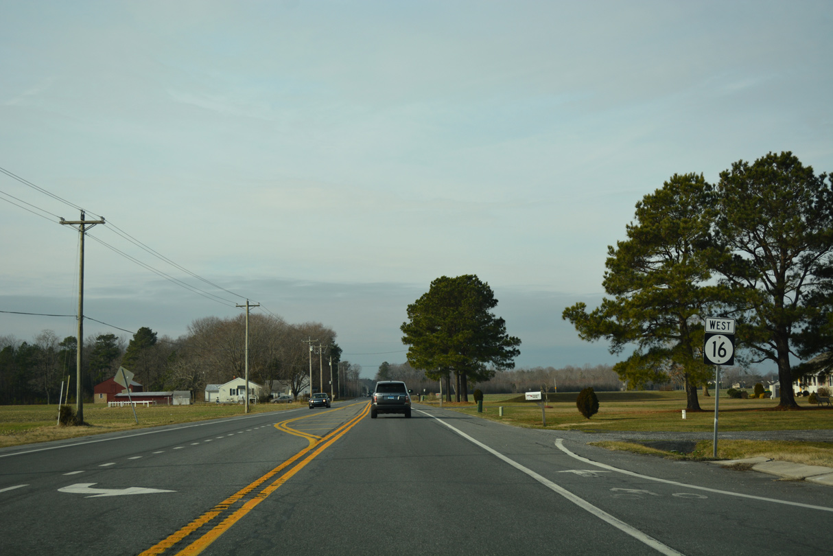
SR 16 (Beach Highway) resumes the rural drive across Sussex County beyond Ellendale.
01/16/17
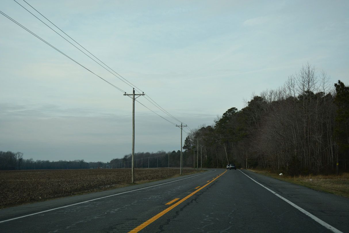
Beach Highway traverses a mix of agricultural land and forest west to the settlement of Oakley.
01/16/17
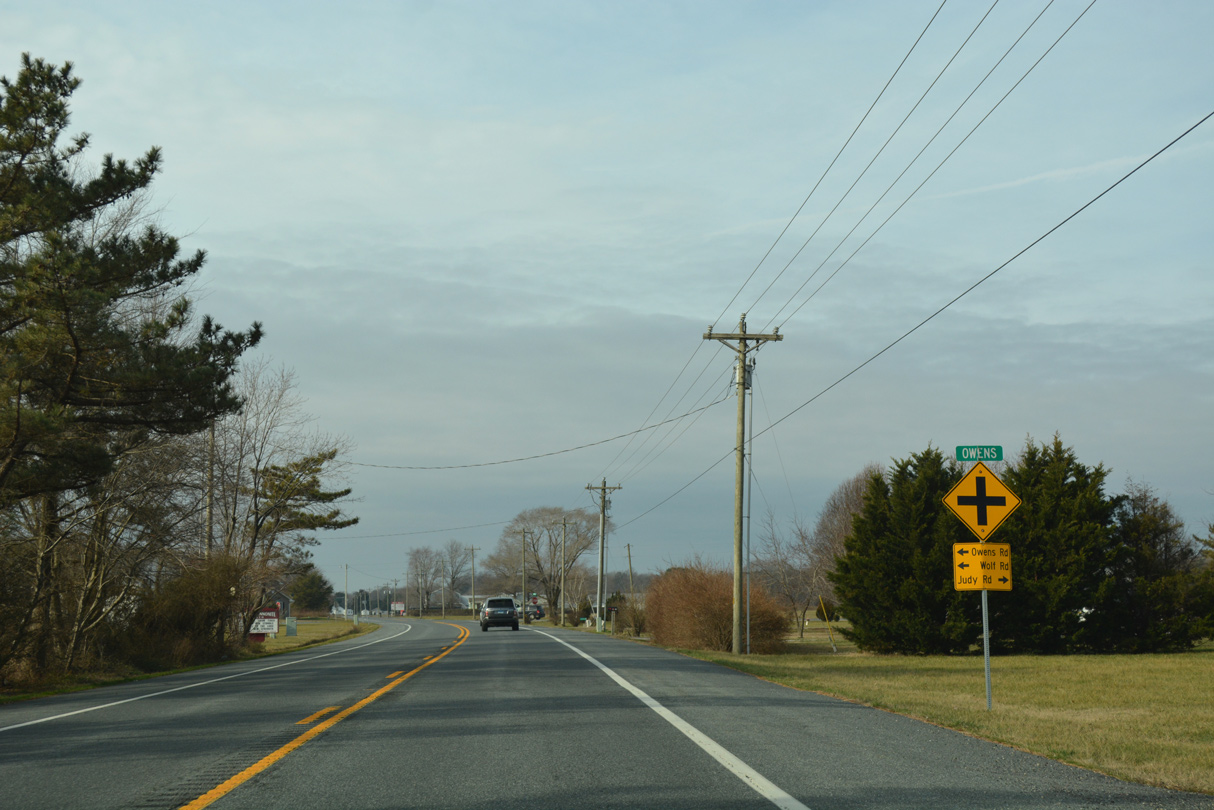
Owens lies at the five point junction with Judy Road east, Owens Road southwest and Wolf Road southeast.
01/16/17
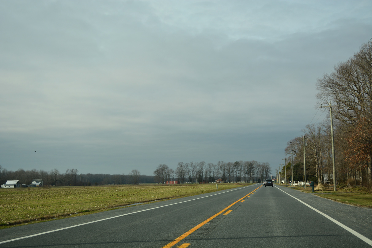
Approaching Saw Mill Road and Toms Dam Branch along SR 16 (Beach Highway) west.
01/16/17
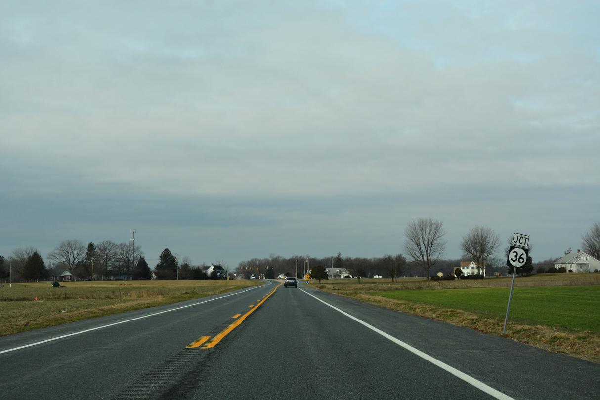
Shawnee Road leads SR 36, 10.27 miles southwest from U.S. 113 and Milford to SR 16 (Beach Highway) at St. Johnstown.
01/16/17
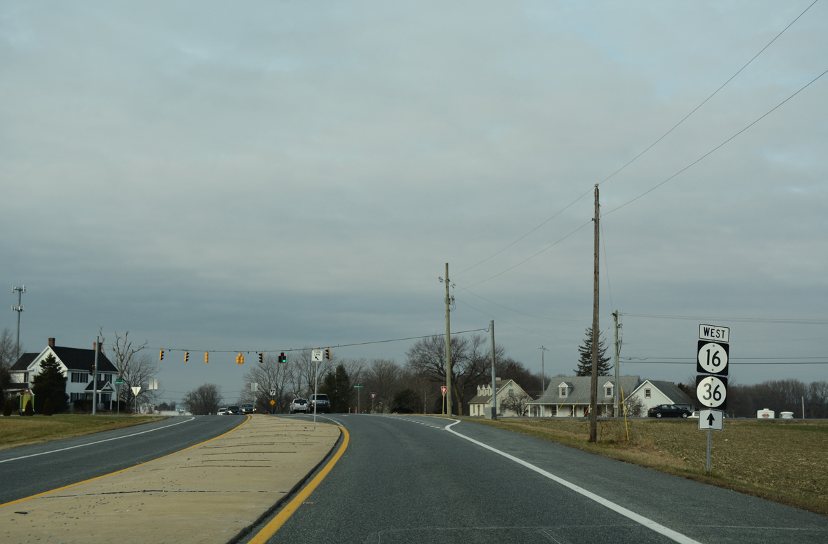
SR 16/36 combine for a 1.98 mile overlap westward through Greenwood.
01/16/17
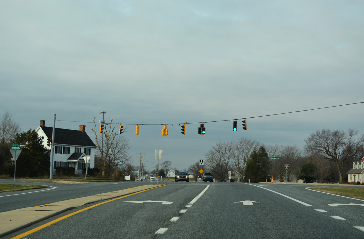
St. Johnstown Road ties into the signalized intersection of SR 16 (Beach Highway) and SR 36 (Shawnee Road) from farming areas to the south.
01/16/17
 West
West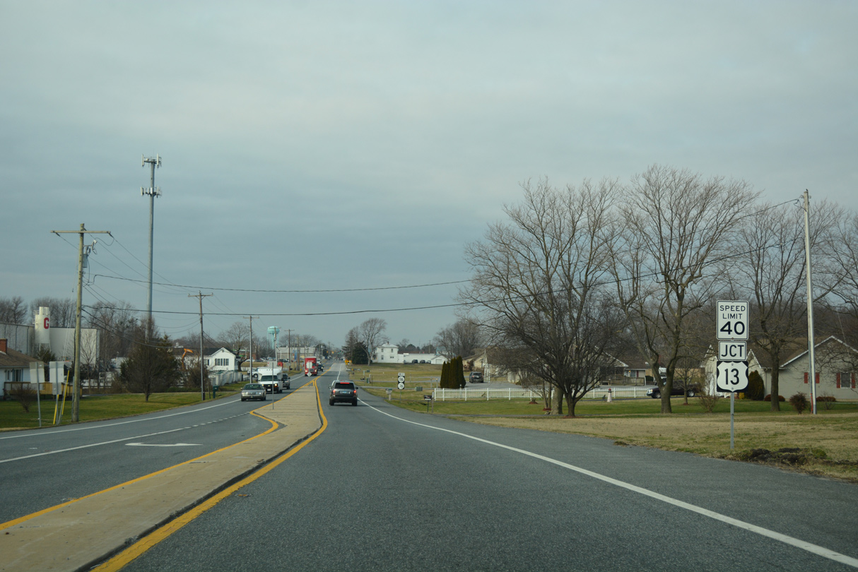
The junction shield for U.S. 13 stands 0.4 miles ahead of the SR 16/36 (Market Street) split intersection with Sussex Highway.
01/16/17
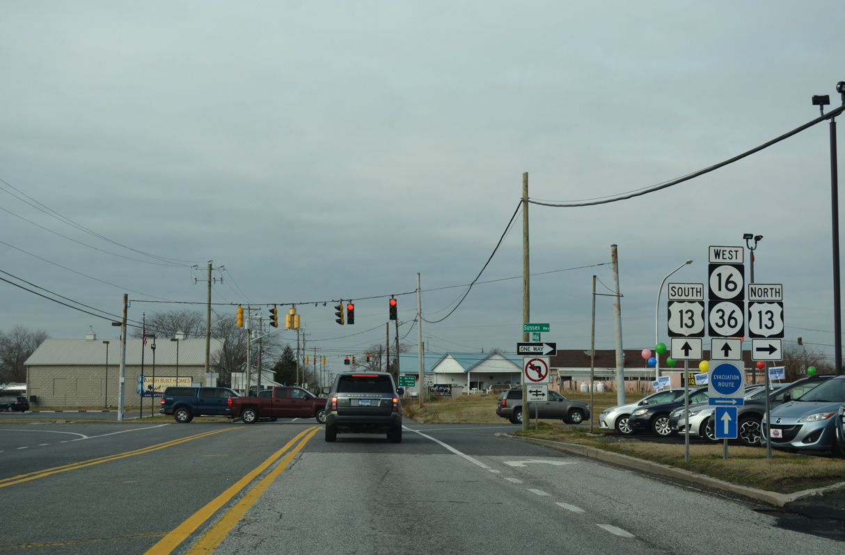
U.S. 13 (Sussex Highway) separates into a one way couplet through eastern reaches Greenwood. The US highway leads north eight miles to Harrington and 24 miles to Dover.
01/16/17
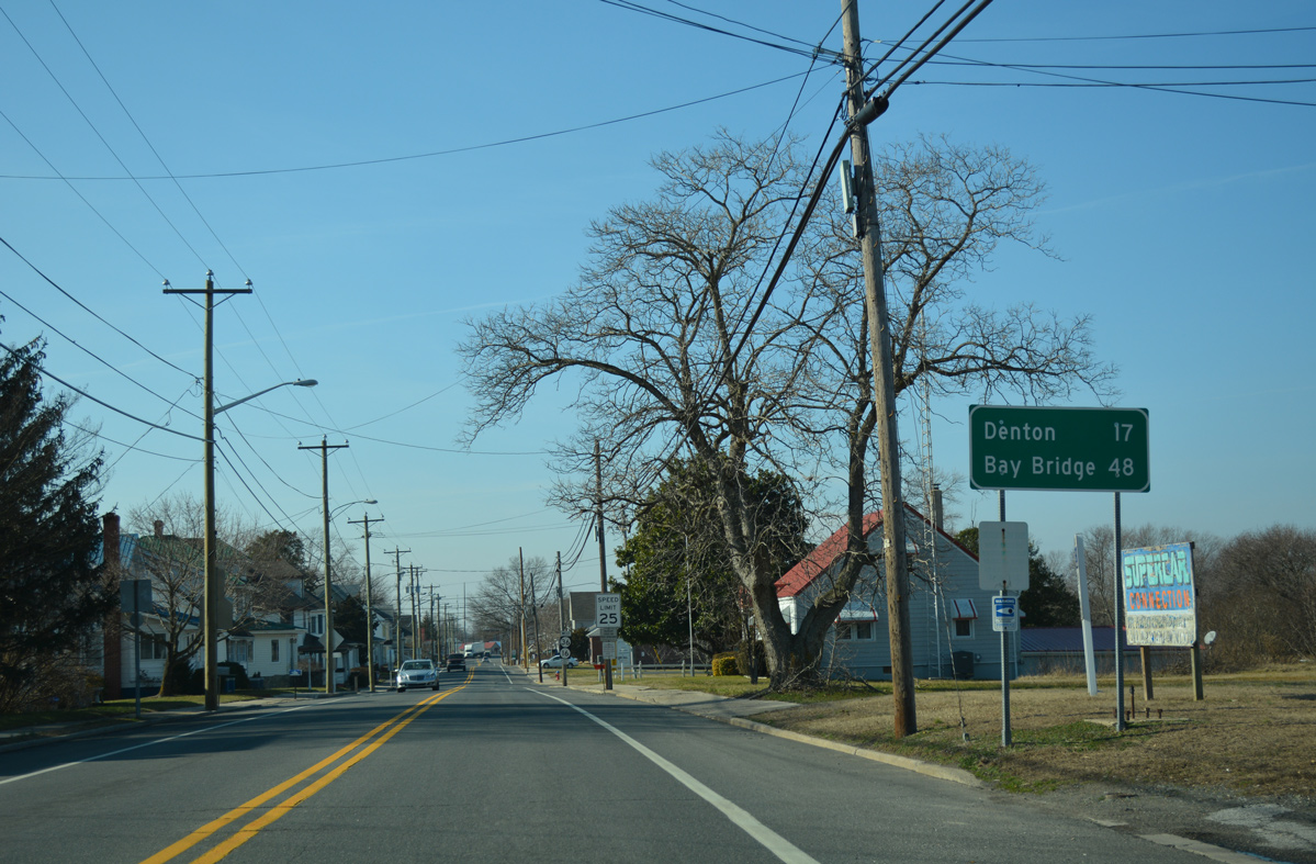
Denton, Maryland lies 17 miles west from U.S. 13 (Sussex Highway) and Greenwood via SR 36, SR 404 and MD 404. SR 16 also leads to MD 404 via MD 16, on a route a half mile shorter.
01/15/17
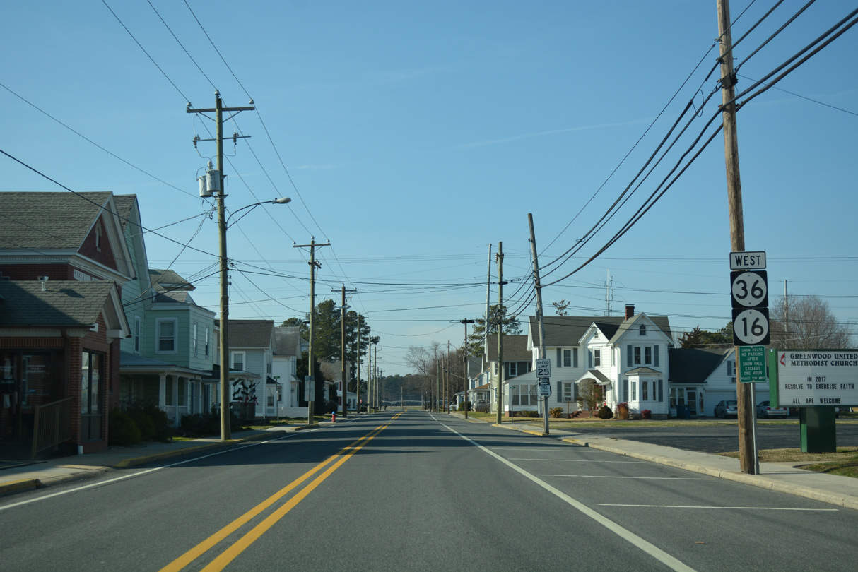
A second set of reassurance markers for SR 16/36 appears along Market Street beyond the NS Railroad crossing. Home to over 1,000 residents, Greenwood is approximately one mile in width.
01/15/17
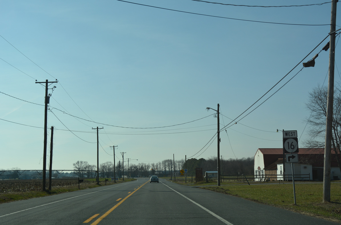
Market Street becomes Hickman Road outside Greenwood as SR 16/36 arc southwest to their split.
01/15/17
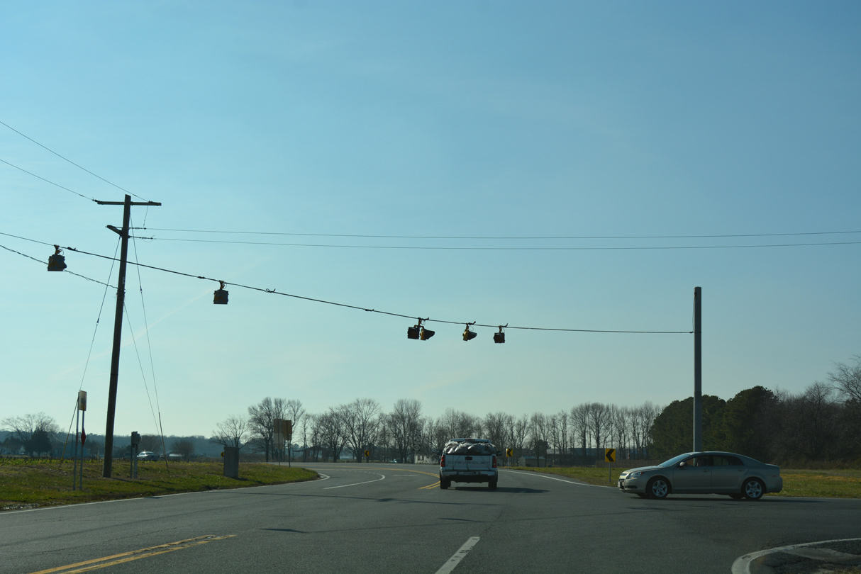
A set of flashers operate at the intersection of Hickman and Scotts Stores Roads. SR 16 extends another 7.08 miles while SR 36 ends in 3.60 miles.
01/15/17
West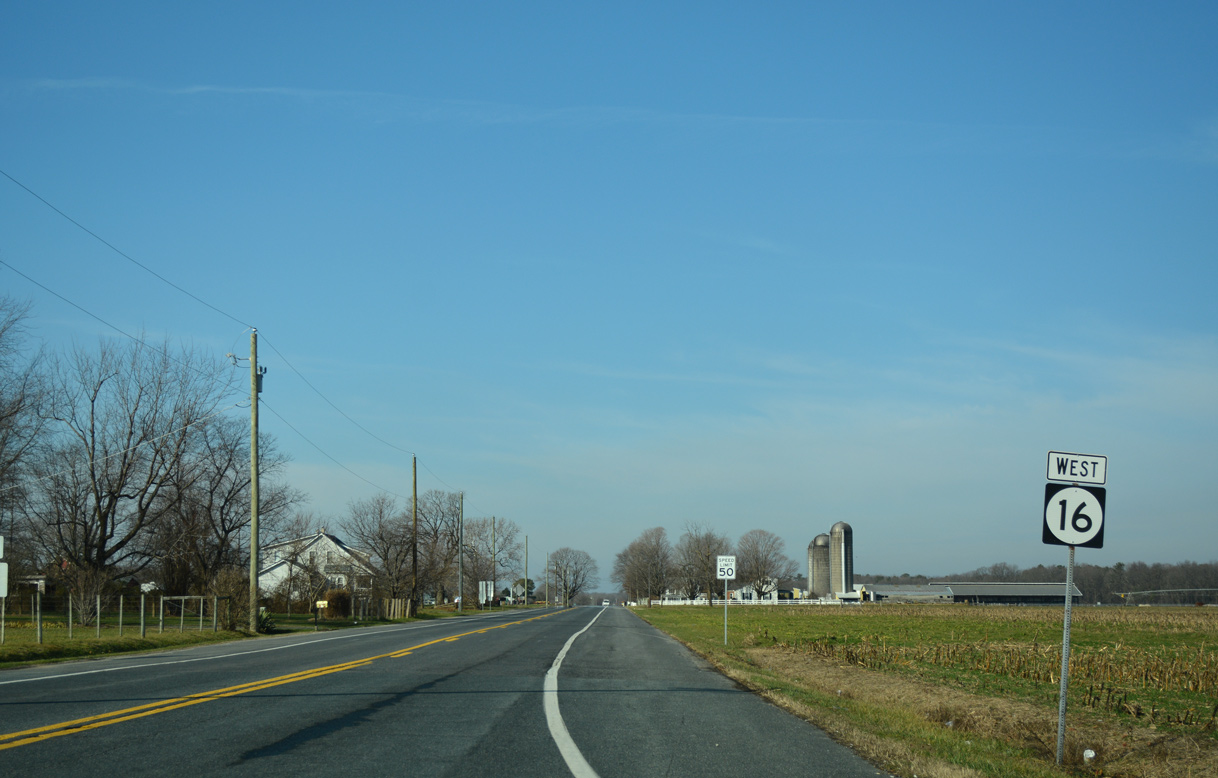
Confirming marker for SR 16 west, posted as Hickman Road heads north from SR 36.
01/15/17
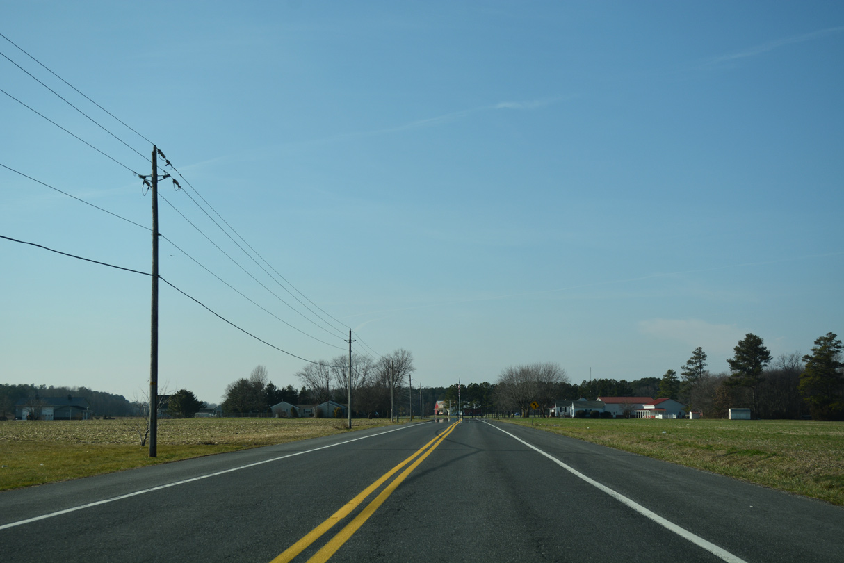
SR 16 (Hickman Road) turns west across farm land from University and Woodbridge Roads.
01/15/17
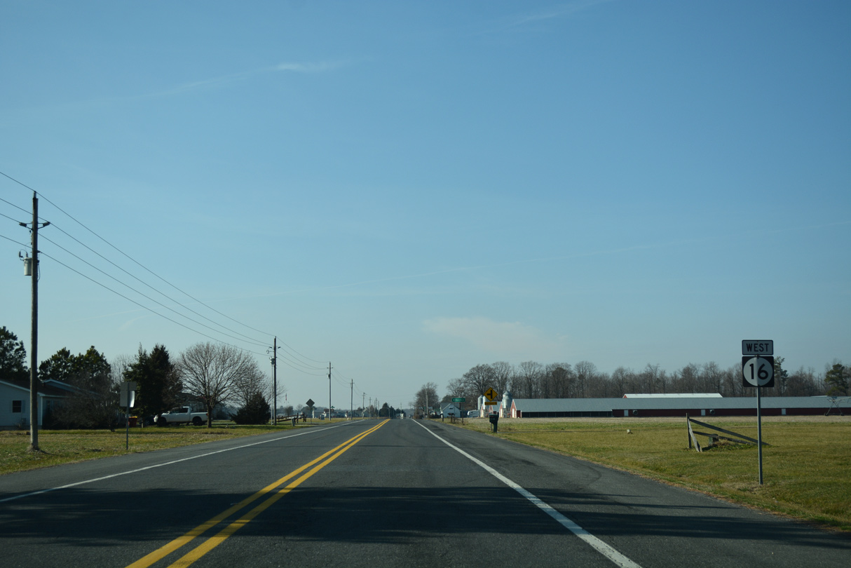
Westbound reassurance marker for SR 16 posted after Nine Foot Road.
01/15/17
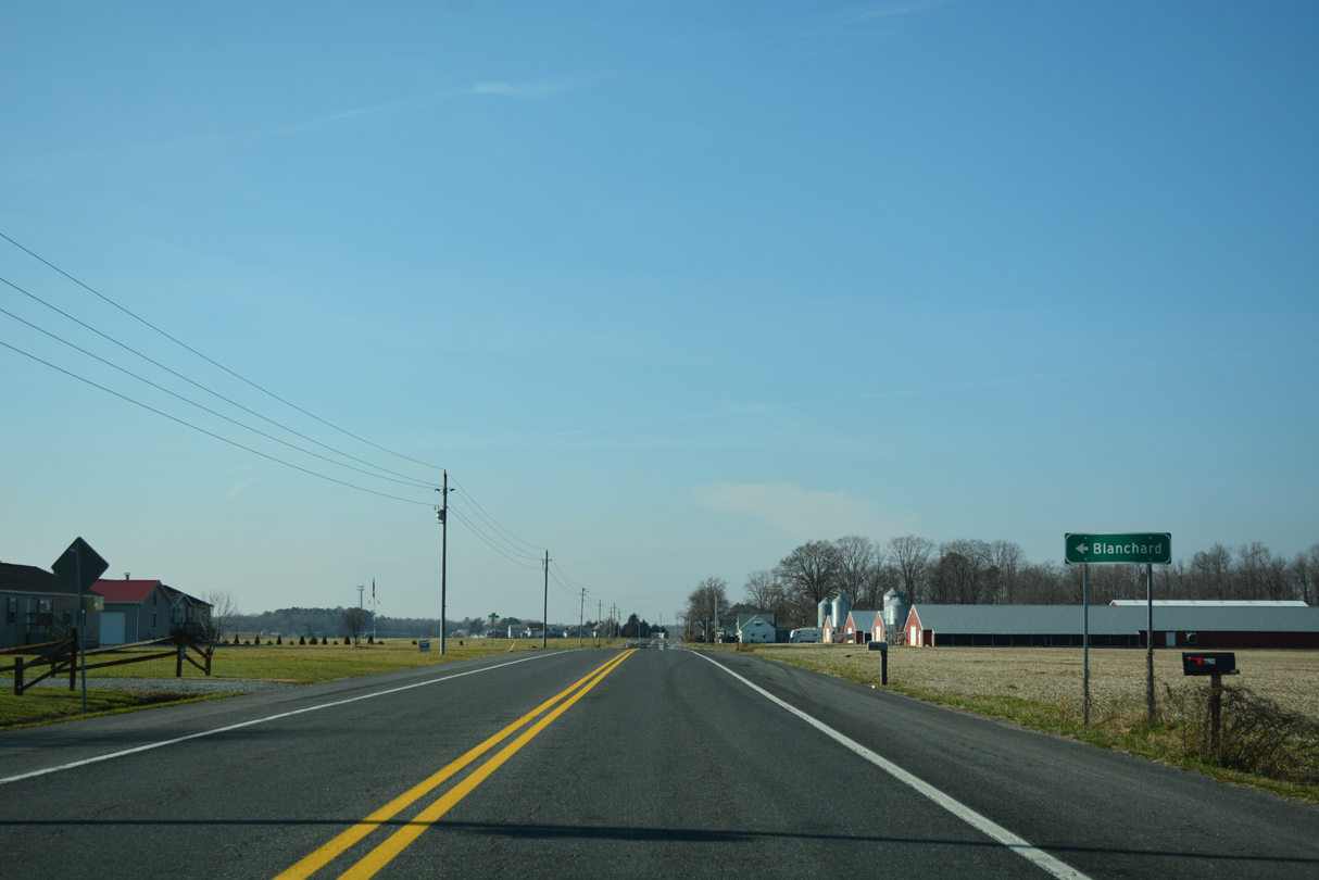
Blanchard Road stems south from SR 16 (Hickman Road) to the settlement of Blanchard. The road circles southeast to SR 36 and Adams Road near Cocked Hat.
01/15/17
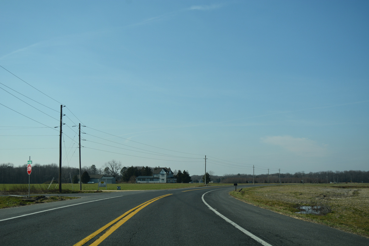
Farm Lane ventures west from Blanchard to intersect SR 16 as Hickman Road bends north to the Kent County line.
01/15/17
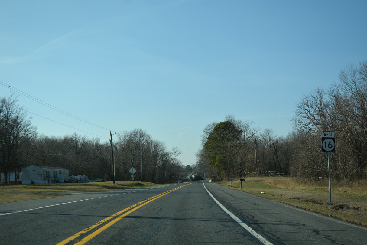
SR 16 (Hickman Road) straddles the Kent County line to Adamsville. This reassurance marker stands just west of Double Fork Road on the county boundary.
01/15/17
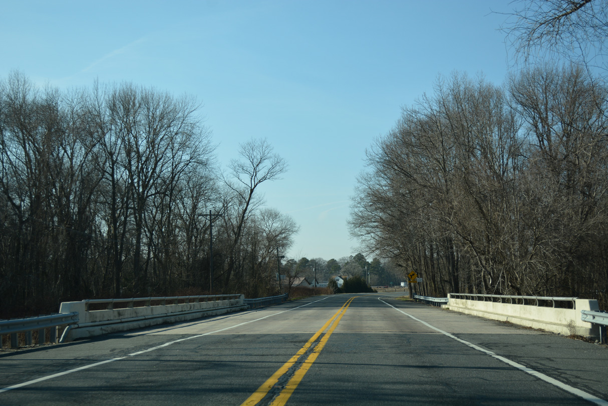
A 1958 bridge carries drivers across Marshyhope Bridge along SR 16 west at Adamsville.
01/15/17
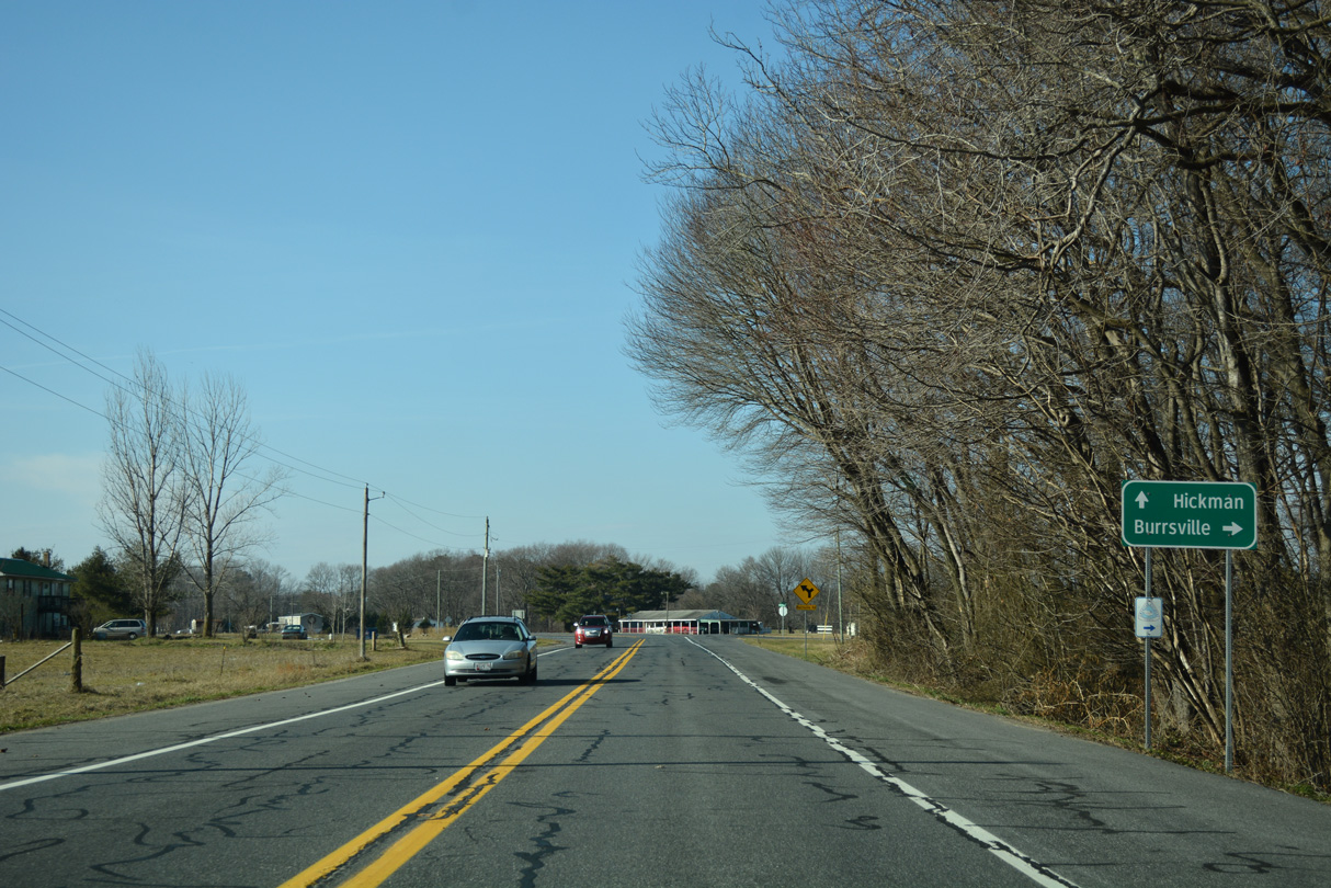
Burrsville Road leads north from Adamsville to Big Pine, Taber State Forest and Burrsville, Maryland.
01/15/17
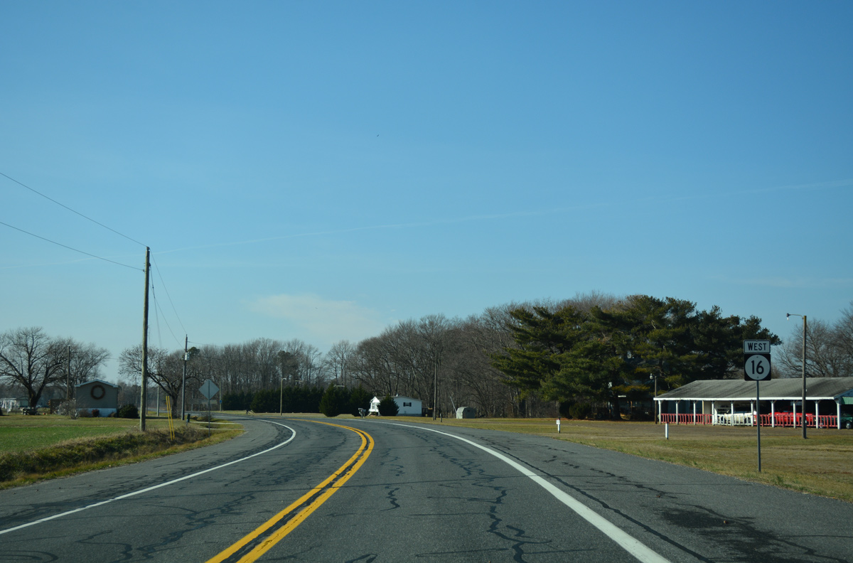
The last confirming marker for SR 16 west, posted 1.6 miles ahead of Hickman.
01/15/17
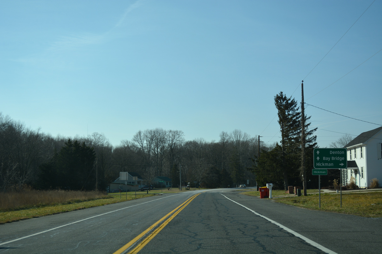
The settlement of Hickman lies along the Maryland state line at SR 16 / MD 16 and Liden School / Hog Range Roads.
01/15/17

MD 16 begins at the pavement change within the intersection at Hog Range Road. Hog Range Road runs north along the state border to Cattail Branch Road. Liden School Road loops southwest from Hickman to MD 404 near the merge with MD 16.
01/15/17
References:
- Town History. Town of Ellendale, web site. https://ellendale.delaware.gov/town-history/
Photo Credits:
- Alex Nitzman: 01/15/17, 01/16/17, 12/22/24, 12/27/25
Connect with:


Page Updated Monday December 01, 2025.