
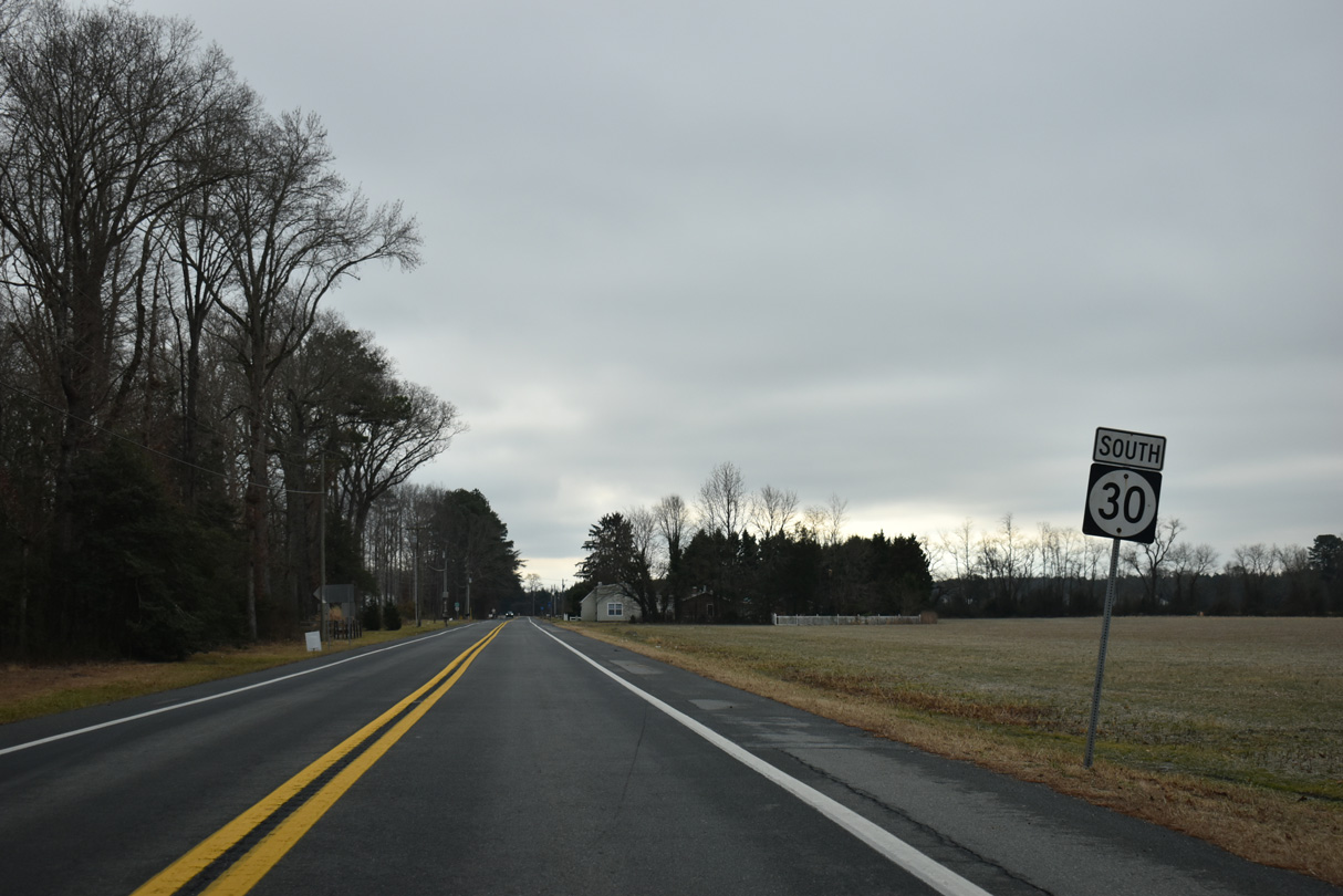
State Route 30 South

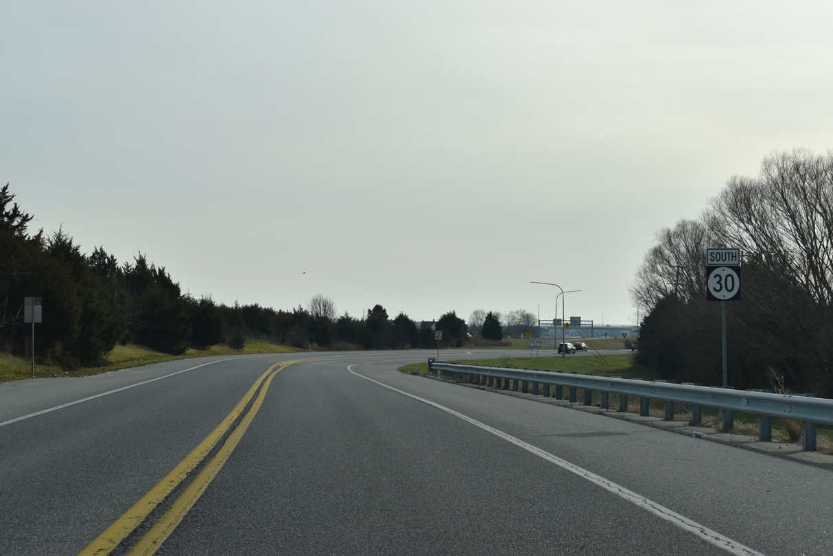
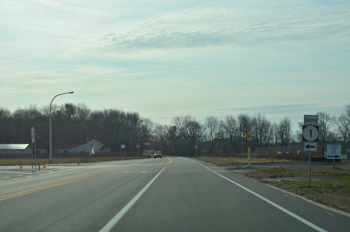
SR 30 begins southbound alongside SR 1 Business (Rehoboth Boulevard) ahead of the entrance ramp to SR 1 (Coastal Highway) south in Milford.
12/19/20
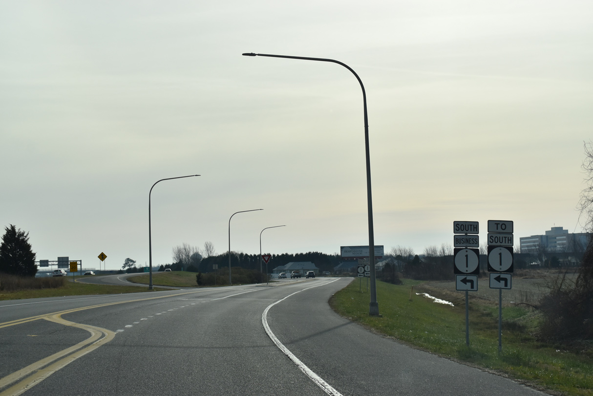
SR 30 commences along SR 1 Business south beyond the exit ramp linking SR 1 north with Rehoboth Boulevard northbound.
12/19/20
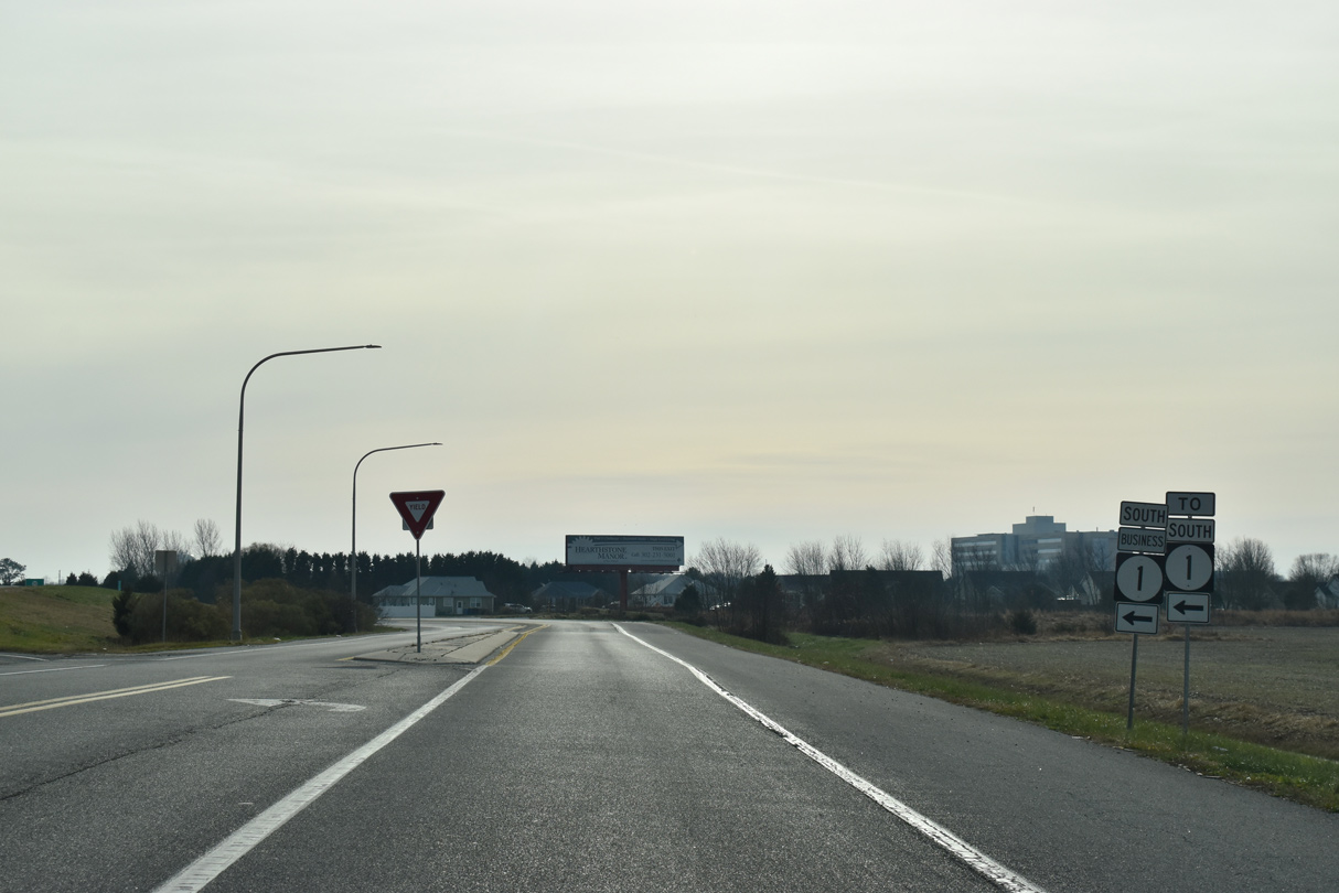
SR 1 Business concludes along the southbound entrance ramp joining Rehoboth Boulevard (SR 30) with adjacent SR 1 (Coastal Highway) south.
12/19/20
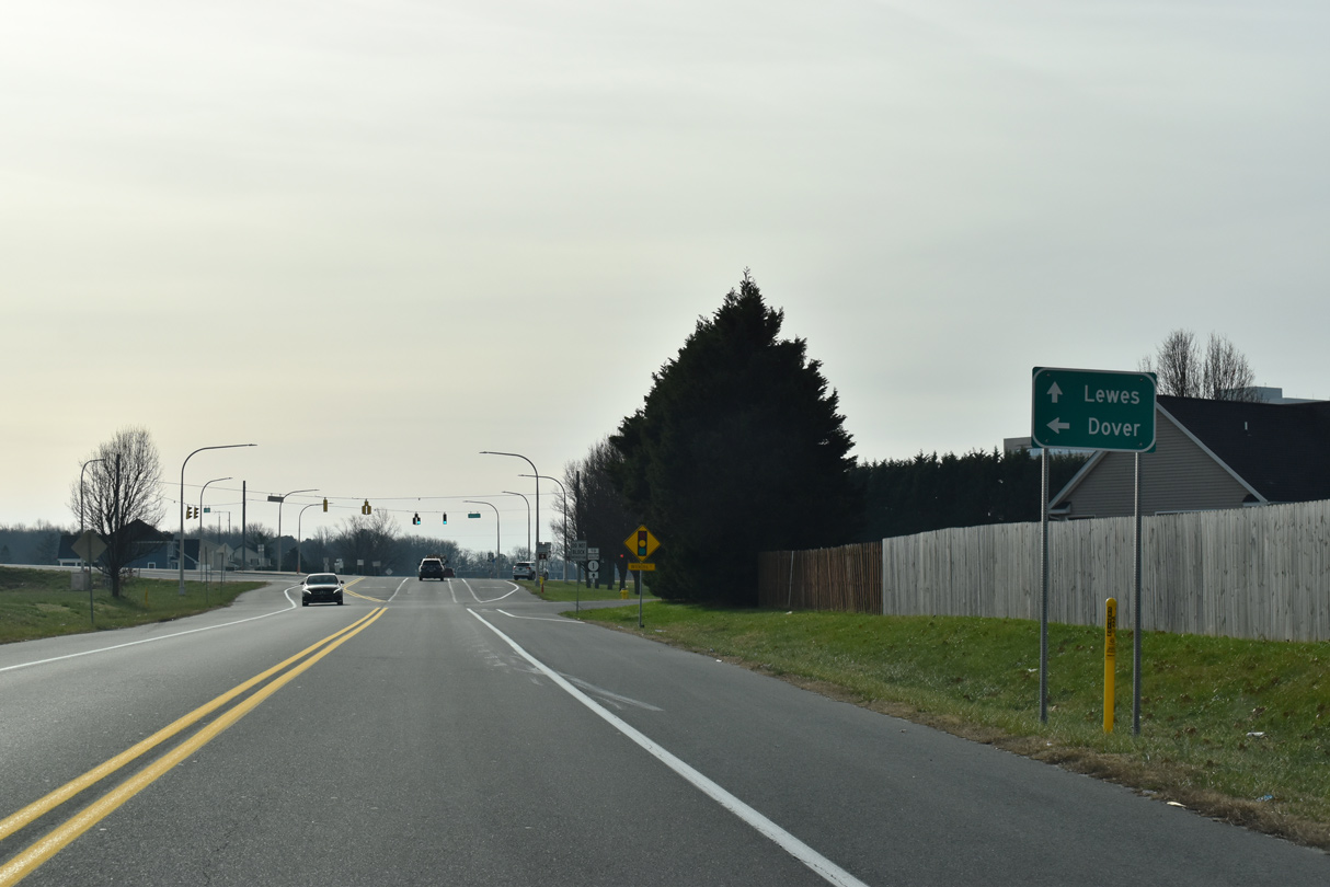
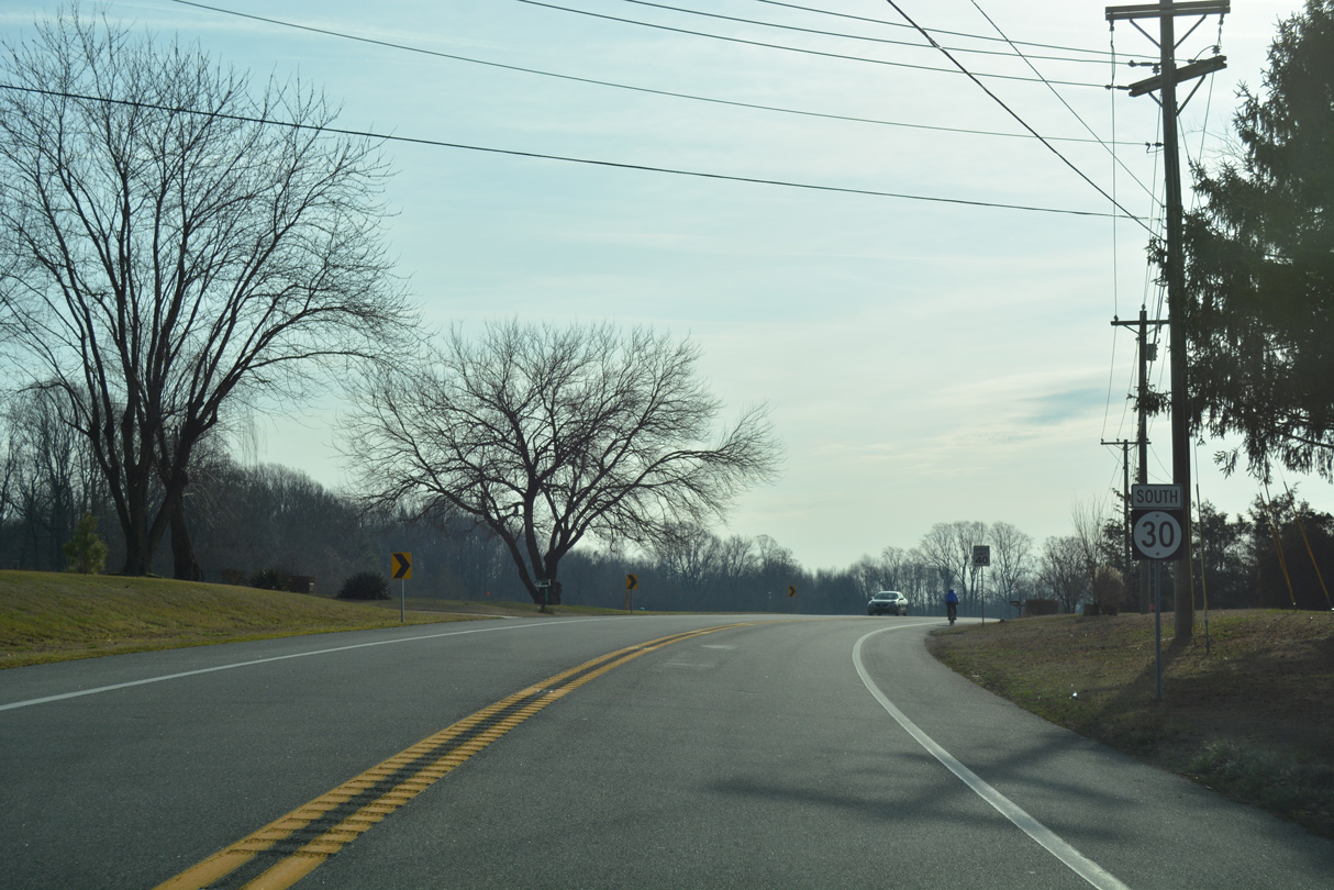
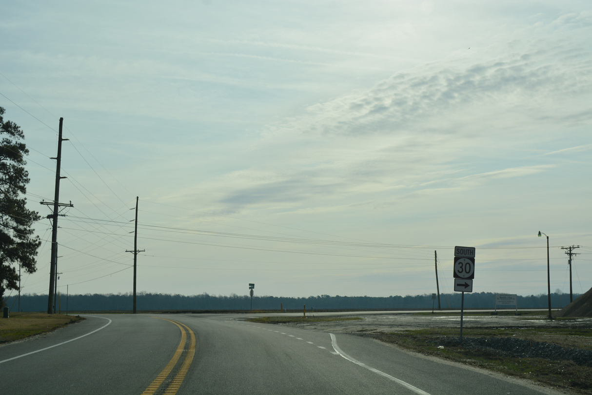
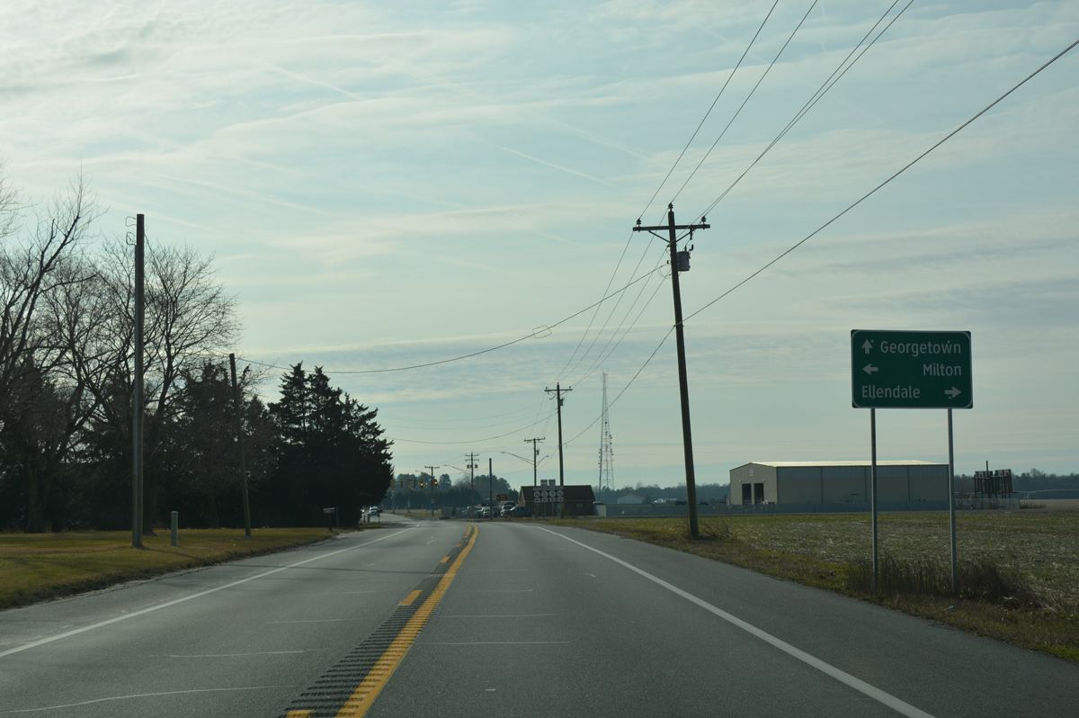
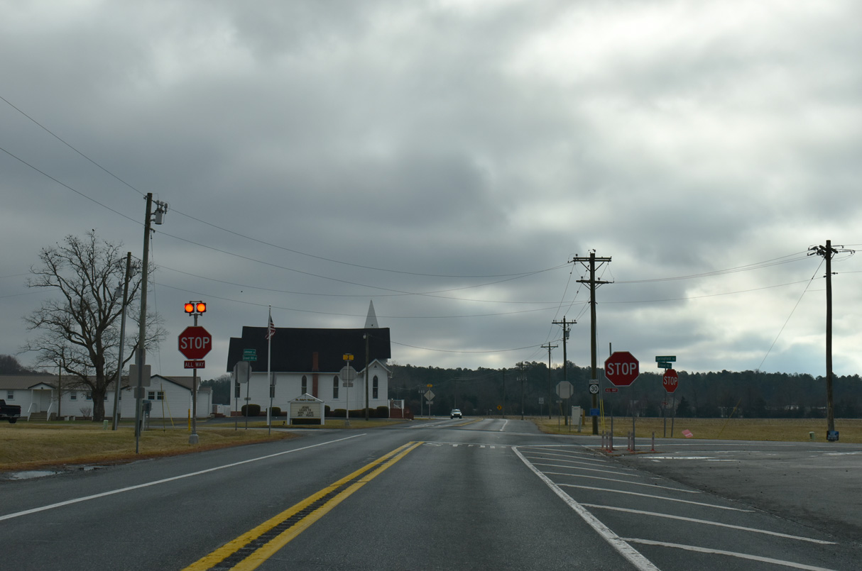
SR 30 transitions from Rehoboth Boulevard to Cedar Creek Road at the traffic light with Wilkins Road in south Milford. Wilkins Road links SR 30 with SR 1 (Coastal Highway) north to Dover.
12/19/20
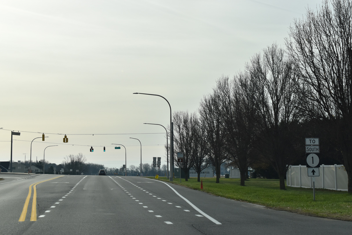
The southbound entrance ramp for SR 1 (Coastal Highway) to Lewes lies a short distance south of Wilkins Road along SR 30 (Cedar Creek Road).
12/19/20
Wilkins Road runs 1.85 miles southwest from SR 30 (Cedar Creek Road) to Johnson Road (Rd 207) at the unincorporated community of Lincoln.
12/19/20
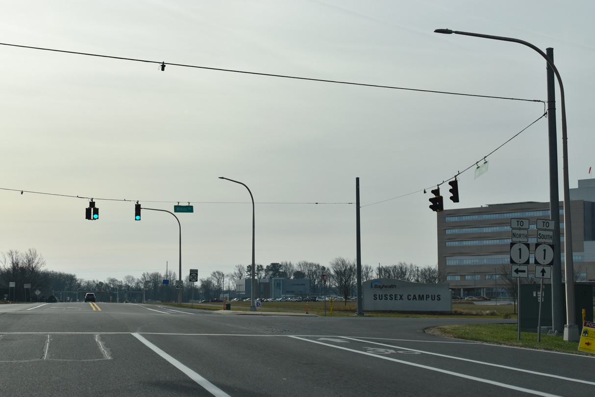
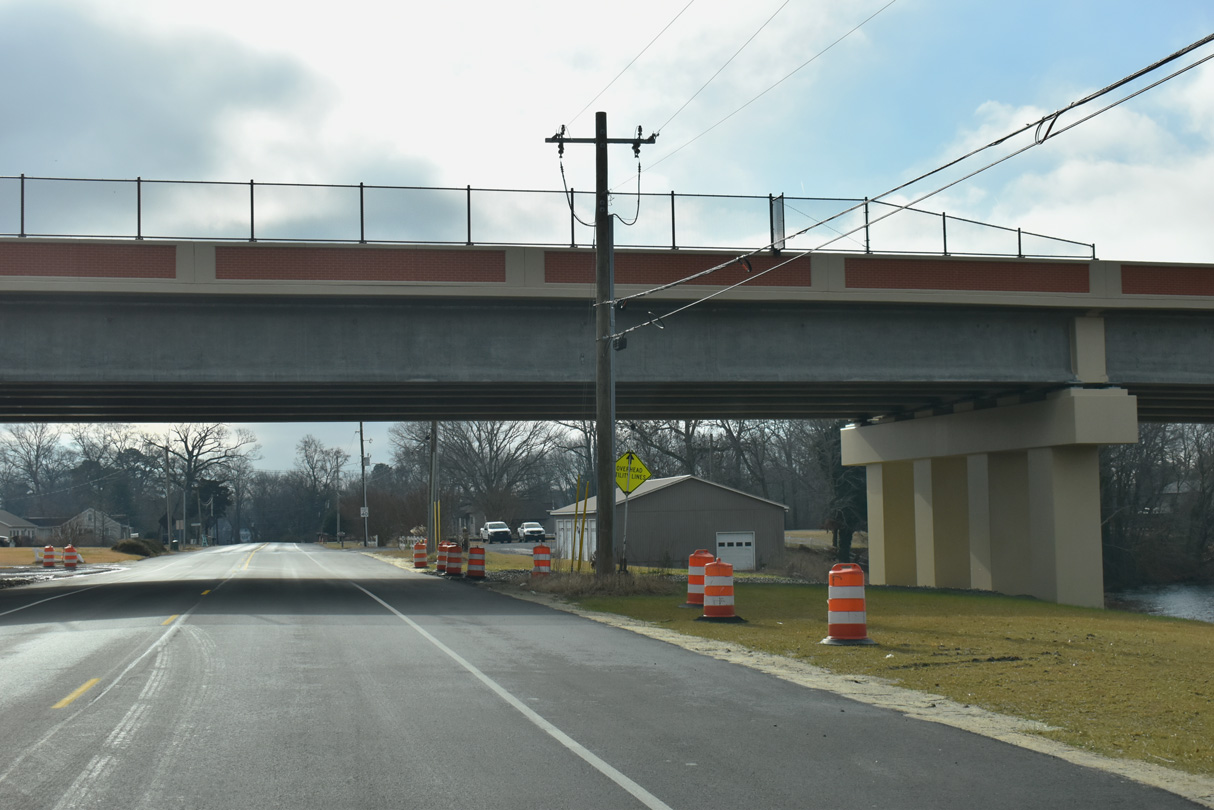
SR 30 passes between the 165 acre Bayhealth Sussex Campus and adjacent SR 1 (Coastal Highway) beyond Wilkins Road (Rd 206). Ground breaking for the $300 million medical campus took place on May 24, 2016 (Coastal Point, 2016).
01/16/17
Traffic lights were added along SR 30 at the on-ramp for SR 1 south to Argo Corners and Wellness Way west to the Bayhealth Sussex Campus.
01/16/17
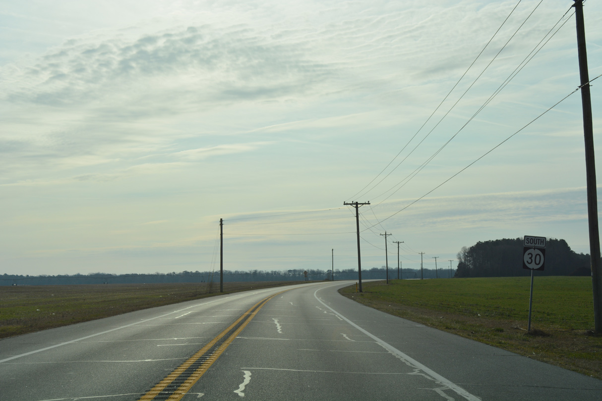
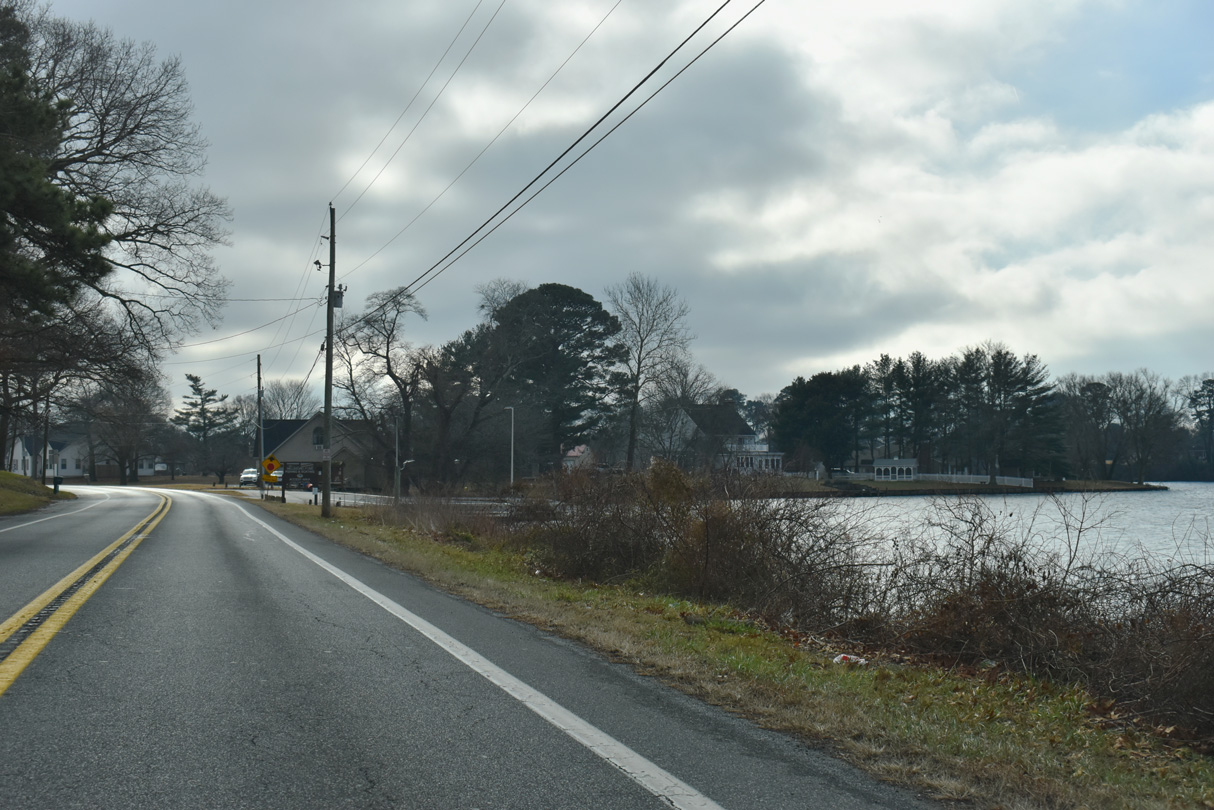
SR 1 (Coastal Highway) travels southeast from Milford to the Lewes area, Rehoboth Beach, Bethany Beach and Fenwick Island while SR 30 stays inland south to Millsboro.
01/16/17
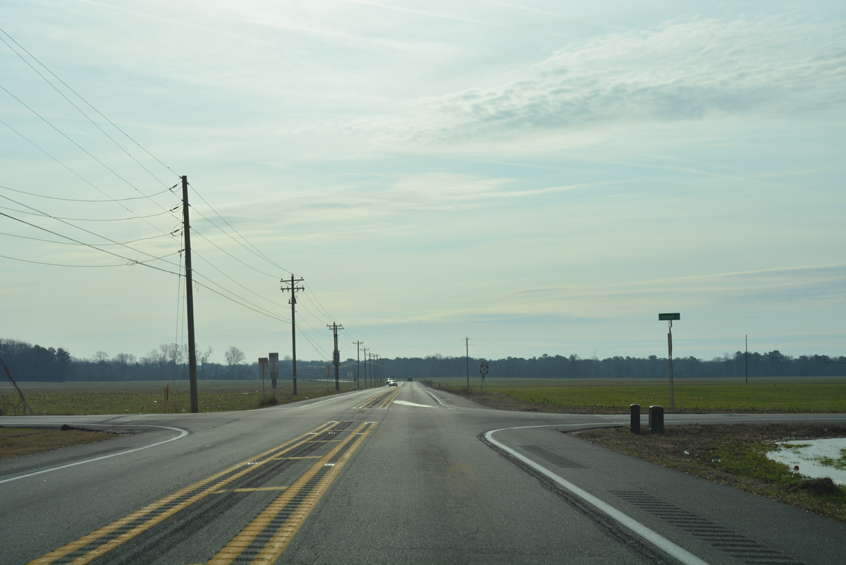
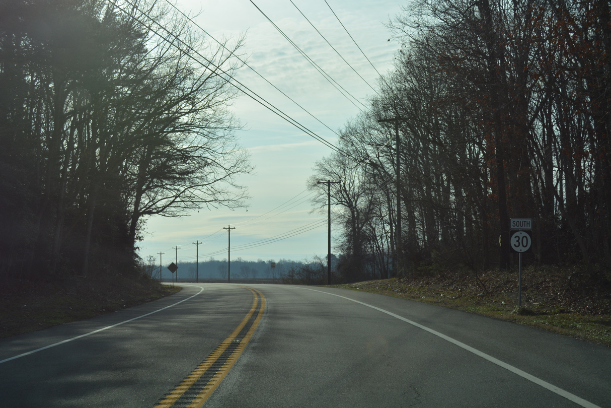
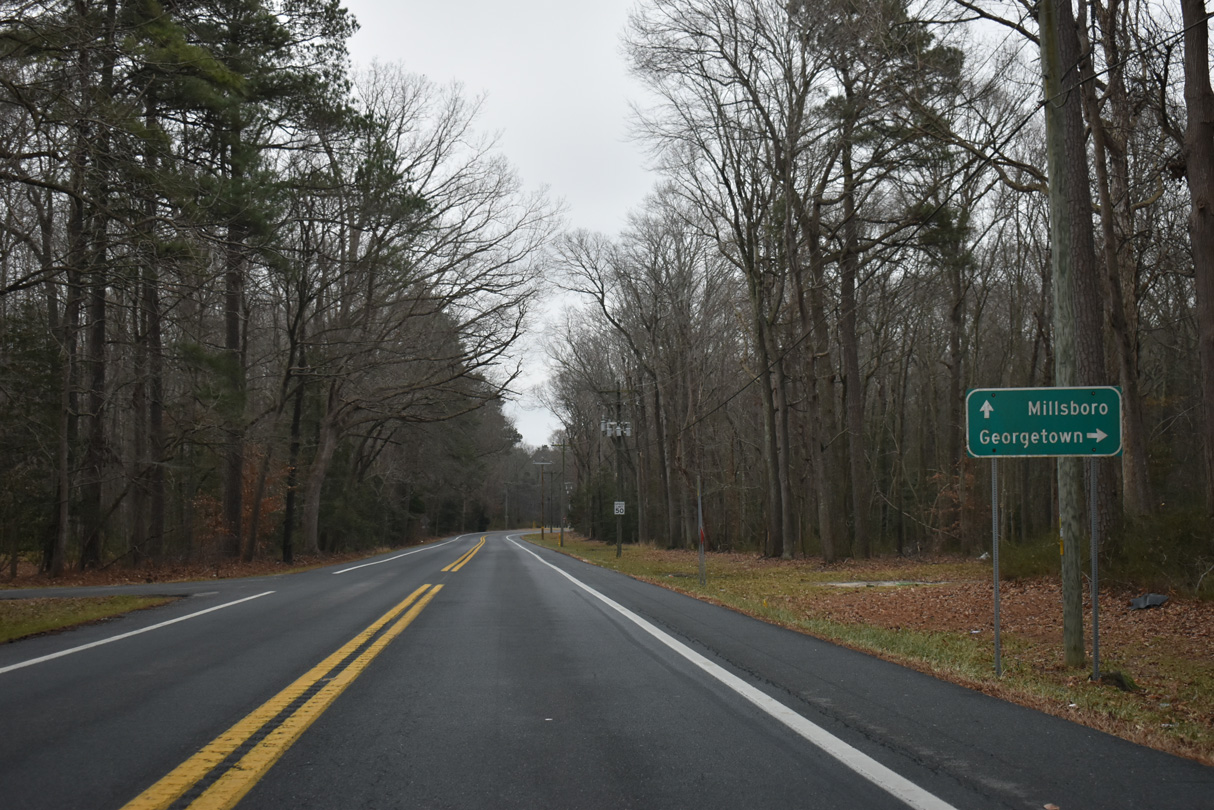
Continuing south of the Milford city line, SR 30 (Cedar Creek Road) becomes rural and intersects Johnson Road. Johnson Road east to SR 1 was once posted as SR 30 Alternate to provide a numbered connection to Coastal Highway.
01/16/17
Open agricultural areas spread into view as SR 30 advances to the tree lined Cedar Creek.
01/16/17
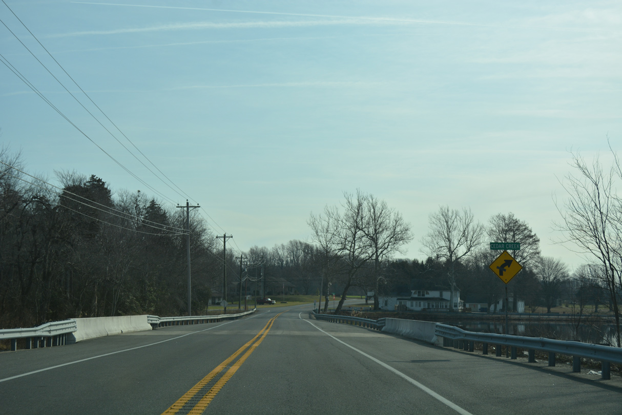
Cedar Creek flows northeast from Hudson Pond to Slaughter Creek within marshy areas of Milford Neck Wildlife Area. SR 30 spans the creek by Swiggetts Pond.
01/16/17
A reassurance marker for SR 30 south stands beyond the intersection with Fleatown Road west and Pine Haven Road east.
01/16/17
A five point intersection joins SR 30 (Cedar Creek Road) south with Benson and Neal Roads at Anderson Crossroads. This shield assembly follows the adjacent intersection with Cubbage Bond Road.
01/16/17
This SR 30 reassurance marker appears after Anderson Crossroads and Slaughter Neck Road.
01/16/17
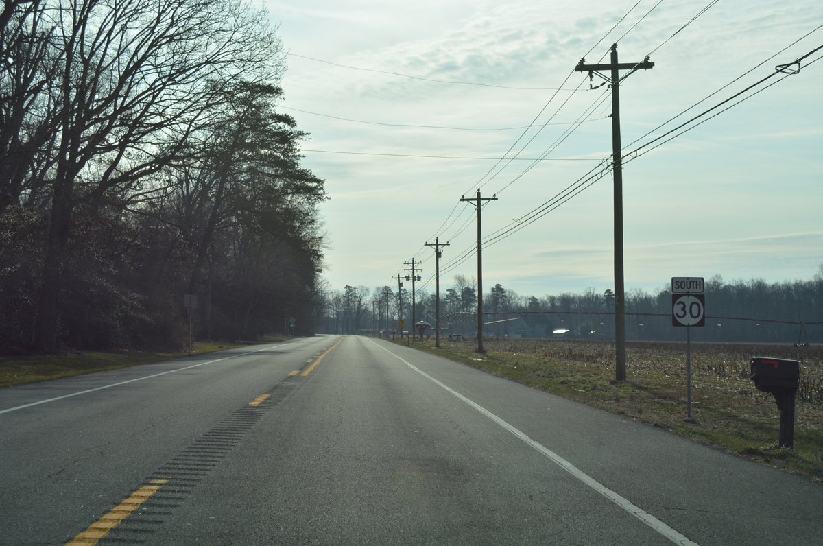
SR 30 passes the Heritage Farms subdivision through open farm land on the approach to Jefferson Crossroads.
01/16/17
Cedar Creek Road splits with SR 30 to the southeast as the state route shifts onto Isaacs Road.
01/16/17

Cedar Creek Road leads directly to the town of Milton while SR 30 (Isaacs Road) stays west to Reynolds Mill.
01/16/17
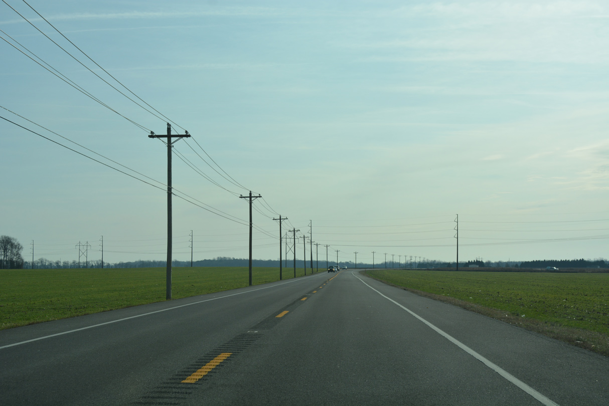
Advancing south from Reynolds Pond Road, SR 30 approaches Pemberton Forest Preserve and a crossing of Ingram Branch.
01/16/17
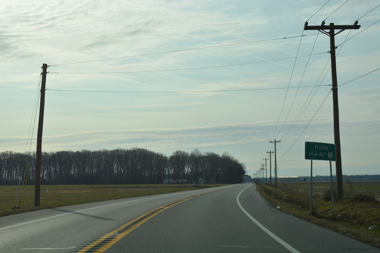
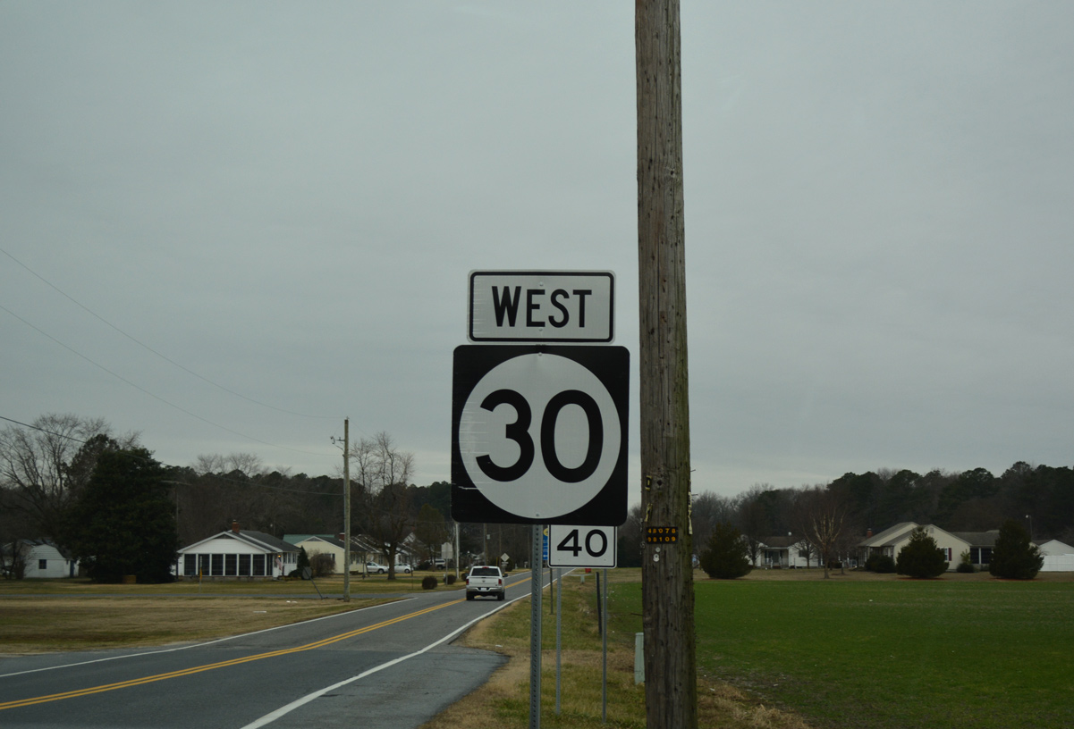
A small guide sign advises truck bounds for SR 5 to use SR 5 Alternate from the upcoming intersection with SR 16 (Milton Ellendale Highway).
01/16/17
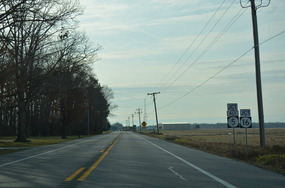
The first traffic light along SR 30 since Milford operates at SR 5 Alt and SR 16 (Milton Ellendale Highway) in an agricultural area 0.9 miles west of the Milton town line.
01/16/17
SR 16 travels east through north Milton to Broadkill Beach along Delaware Bay. The state route runs west to the towns of Ellendale and Greenwood.
01/16/17
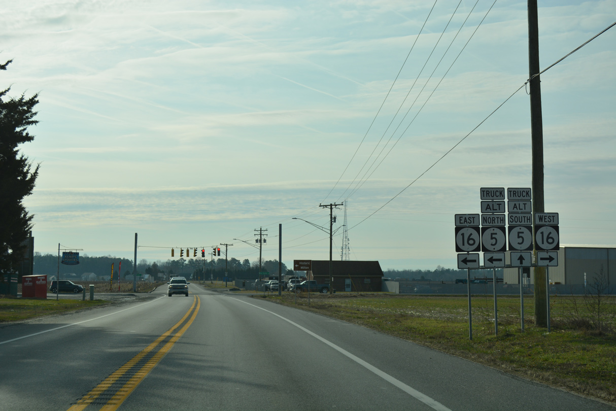
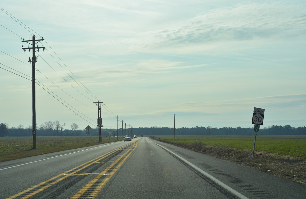
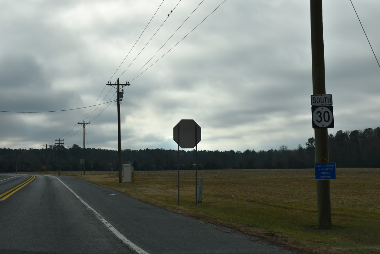
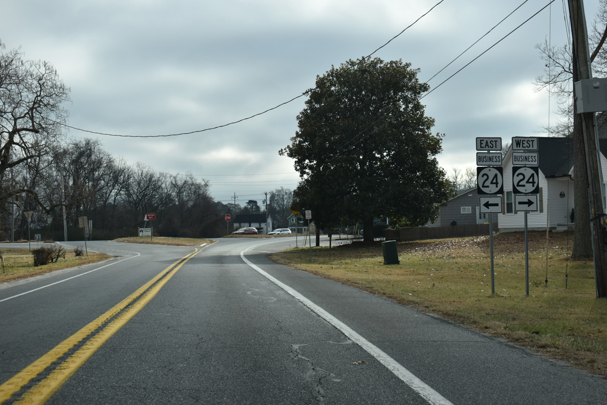
SR 5 Alt bypasses Milton along a combination of SR 16 east to Union Street Extension (SR 5) and SR 30 (Gravel Hill Road) south to Sand Hill Road.
01/16/17
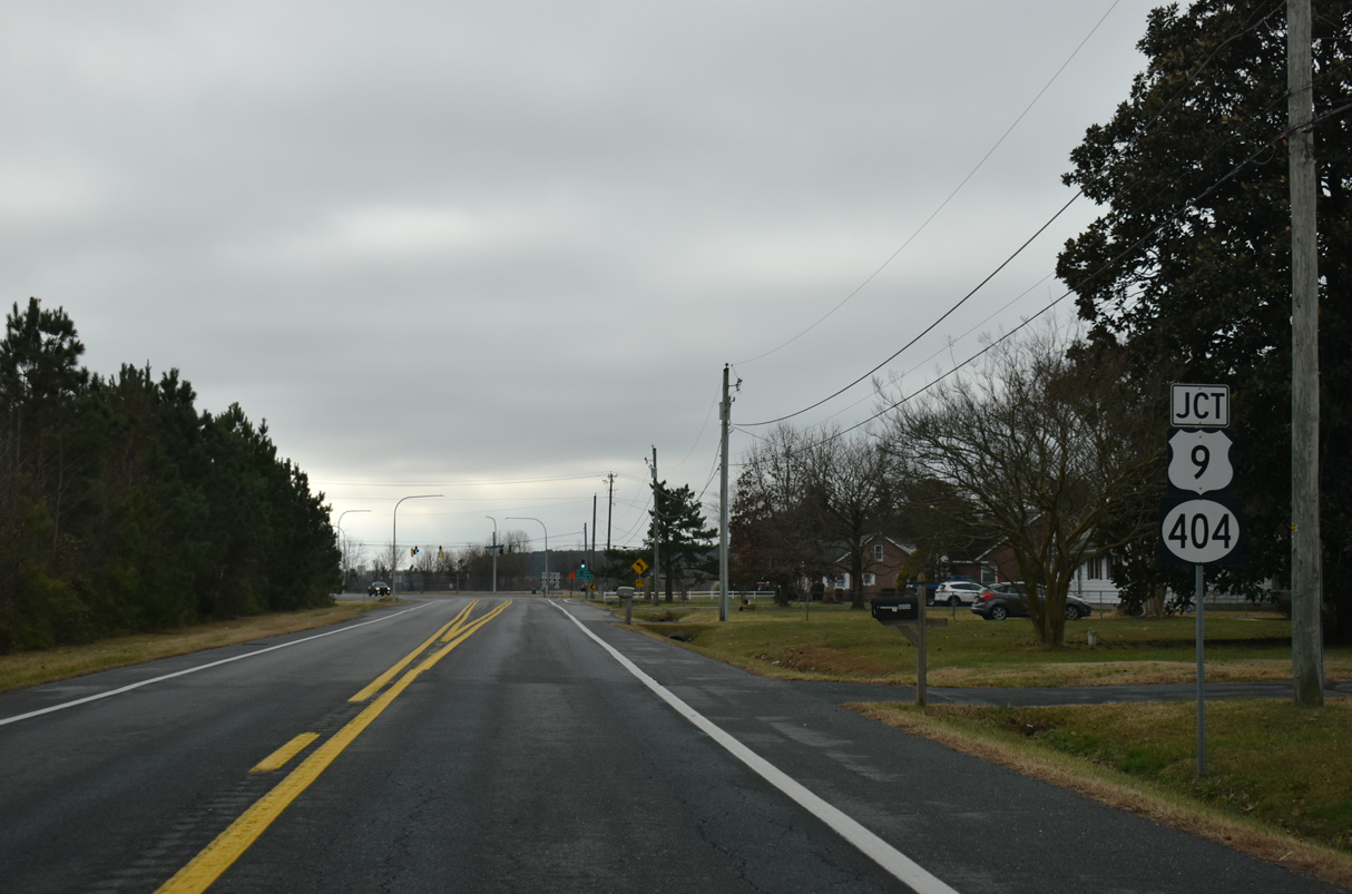
Shingle Point Road (Rd 249) provides a cut off from SR 30 (Gravel Hill Road) south to U.S. 9/SR 404 west for the Sussex County seat of Georgetown.
12/27/25
SR 30 (Gravel Hill Road) continues south from Shingle Point Road by remaining farm land to Prettyman Road (Rd 254).
12/27/25
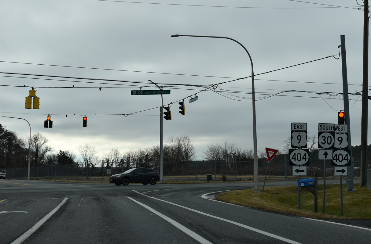
SR 30 (Gravel Hill Road) meets U.S. 9/SR 404 (Seashore Highway) at Gravel Hill.
12/27/25
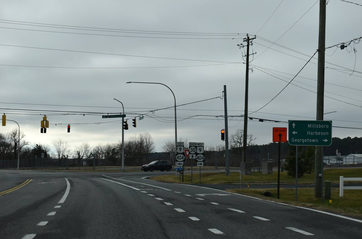
U.S. 9/SR 404 overlap west to SR 18 in Georgetown and east past Harbeson to SR 1 (Coastal Highway) at Belltown and Five Points.
12/27/25
U.S. 9 travels across Sussex County between U.S. 13 at Laurel and the Cape May-Lewes Ferry in Lewes. SR 404 forms a multi-state route with MD 404 west to Bridgeville, Denton and U.S. 50 at Wye Mills.
12/27/25
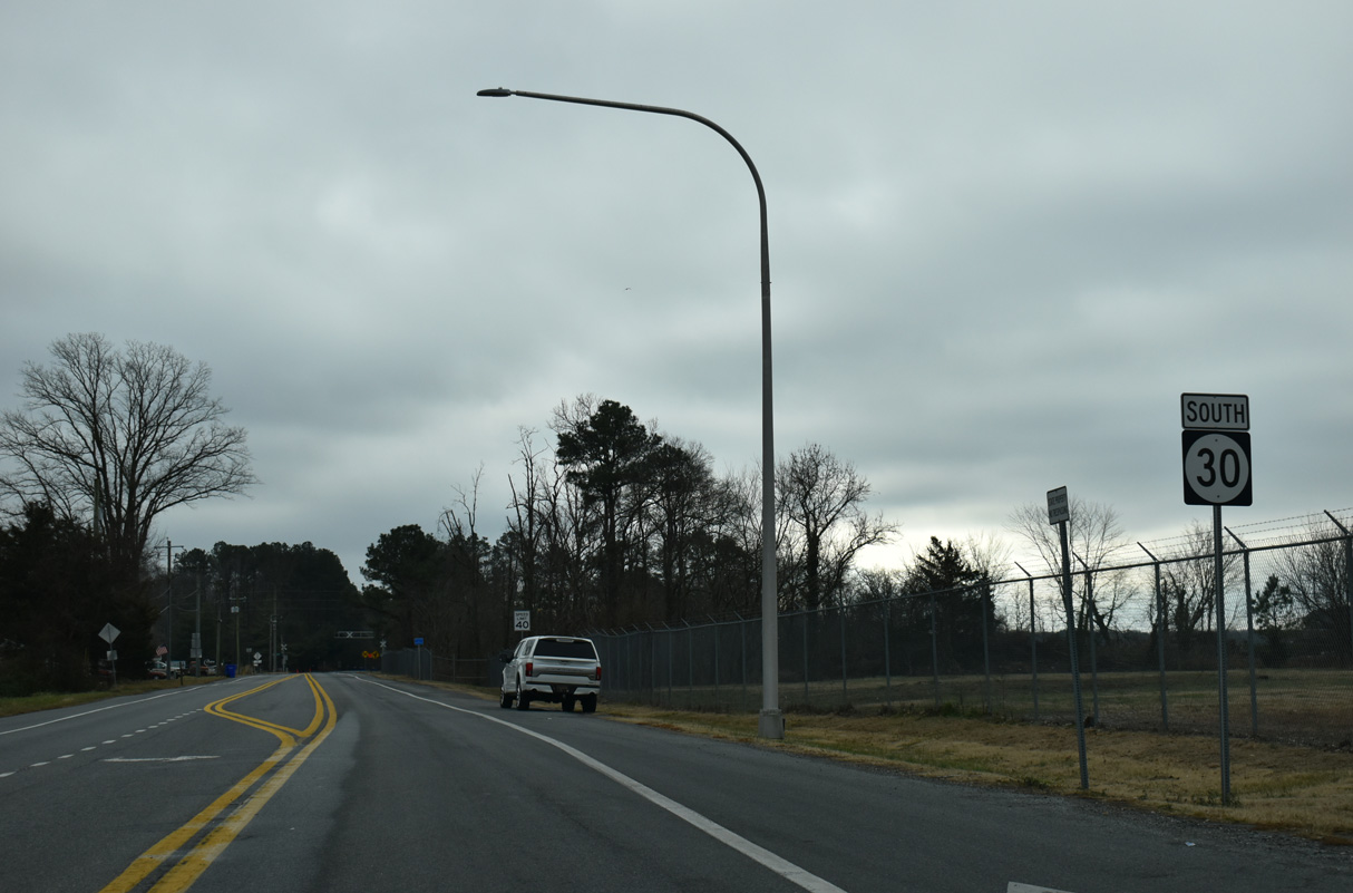
Confirming marker for SR 30 south of U.S. 9/SR 404 along Gravel Hill Road.
12/27/25
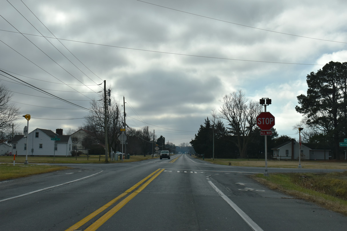
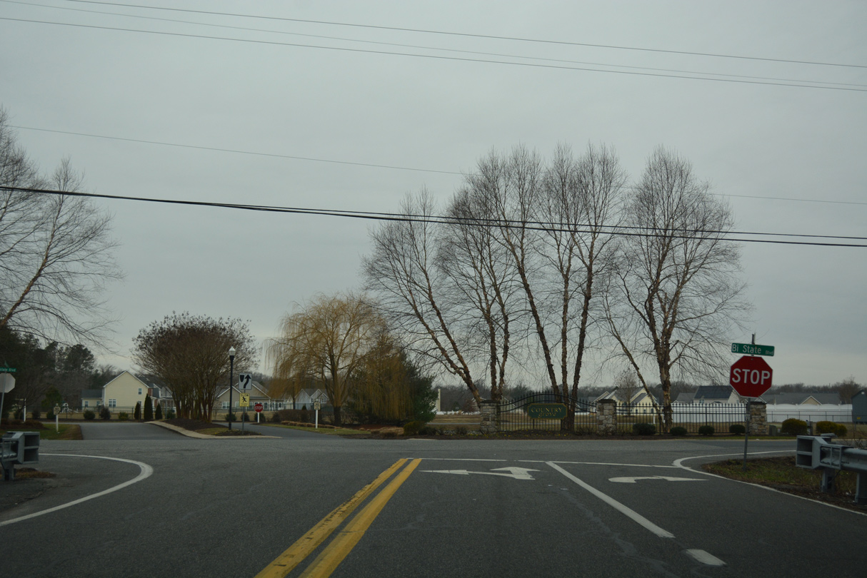
Springfield Road (Rd 47) east and Jefferson Road (Rd 47) west come together at SR 30 (Gravel Hill Road) and Springfield Crossroads at a four-way stop sign.
12/27/25
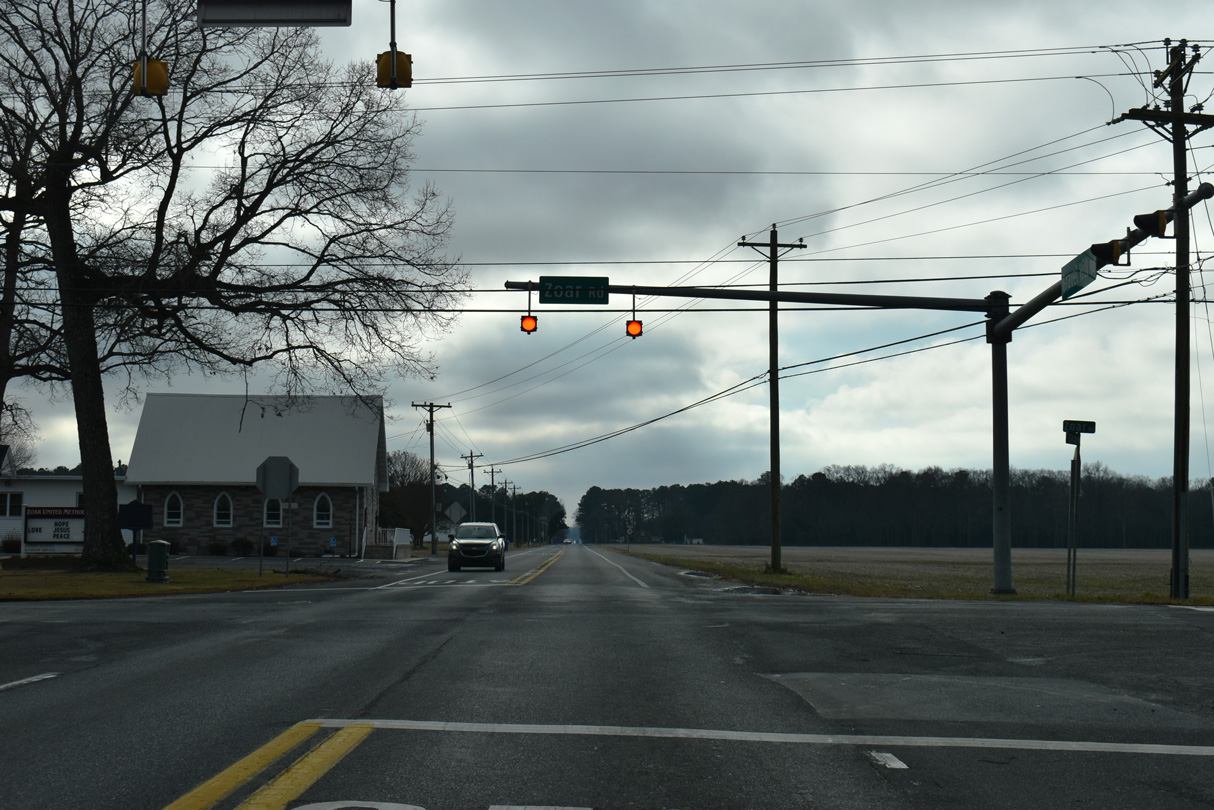
SR 30 advances south to Zoar Road (Rd 48) and the unincorporated community of Zoar.
12/27/25
Zoar Road was formerly part of SR 24 Alternate west to U.S. 113 near Georgetown and east to Hollyville Road near Hollyville. The bannered route extended northeast to SR 1D/24 at Midway.
12/27/25
Southbound SR 30 (Gravel Hill Road) after the intersection with Zoar Road (old SR 24 Alternate).
12/27/25
Morris Mill Road (Rd 297) connects SR 30 (Gravel Hill Road) with Zoar Road (Rd 48) by Morris Millpond to the northwest of this stop sign at Mount Joy. Mount Joy Road extends Rd 297 east to SR 5/24 (John J. Williams Highway) and Oak Orchard Road at Harmon.
12/27/25

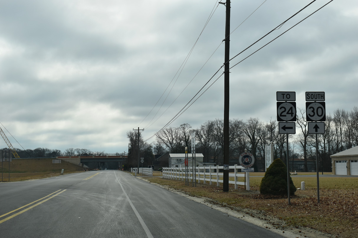
An access road connects SR 30 (Gravel Hill Road) with SR 24 along the North Millsboro Bypass. Linking SR 20 west to Seaford with SR 24 east to Rehoboth Beach, the two-lane, controlled access highway runs north of Millsboro.
12/27/25
SR 24 travels west across Sussex County from Midway to Laurel and the Maryland state line near Sharptown.
12/27/25
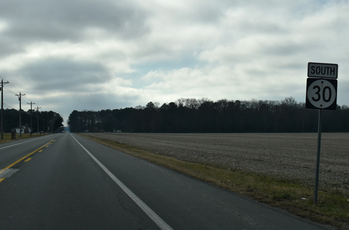
The last reassurance marker for SR 30 south stands along Gravel Hill Road after the connector to SR 24.
12/27/25
The North Millsboro Bypass opened to traffic on September 26, 2025. The realignment of SR 24 includes a viaduct spanning SR 30 and adjacent Millsboro Pond.
12/27/25
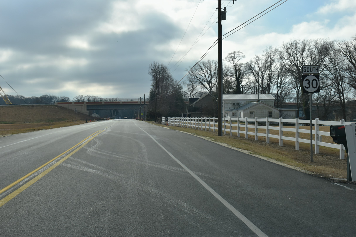
SR 30 (Gravel Hill Road) runs along the east side of Millsboro Pond before meeting SR 24 Business (John J. Williams Highway).
12/27/25
SR 30 (Gravel Hill Road) ends at SR 24 Business (John J. Williams Highway) just north of the Millsboro town line. SR 24 Business was established in Fall 2025 along the former route of SR 24 through Downtown Millsboro.
12/27/25
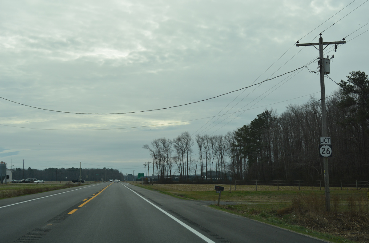
0.92 miles south of the split with SR 24 (Laurel Road) west, SR 30 (Millsboro Highway) combined with SR 26.
01/16/17
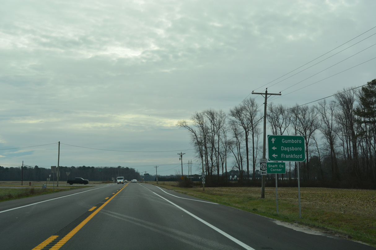
SR 26 (Nine Foot Road) stems east from Millsboro Highway (old SR 30) at Shaft Ox Corner to U.S. 113 at the town of Dagsboro. Frankford lies just south of Dagsboro.
01/16/17
Traveling 23.15 miles across southeastern Sussex County, SR 26 originates in Bethany Beach to the east.
01/16/17
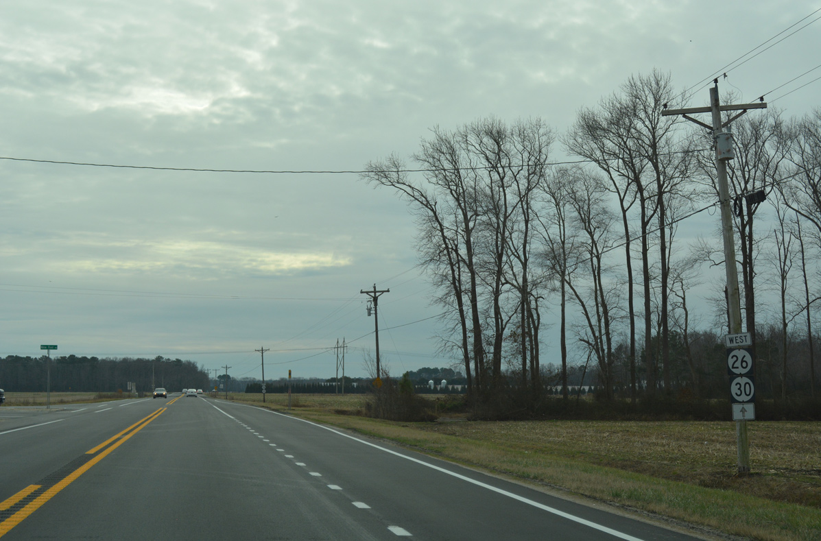
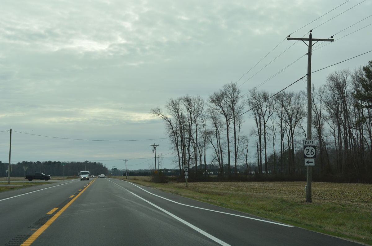
SR 30 overlapped with SR 26 (Millsboro Highway) south 4.85 miles to Gumboro and SR 54, 0.83 miles from the Maryland state line.
01/16/17
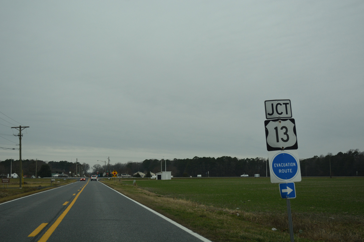
Whitesville Road ends at U.S. 13 (Sussex Highway) opposite Dorothy Road (Road 64) west 0.44 miles to Bacons.
01/16/17
Construction in Spring 2016 changed the conventional intersection between Whitesville Road and U.S. 13 into one using J-turns. Motorists bound for Dorothy Road west must turn north onto Sussex Highway and U-turn onto U.S. 13 south to make the connection.
01/16/17
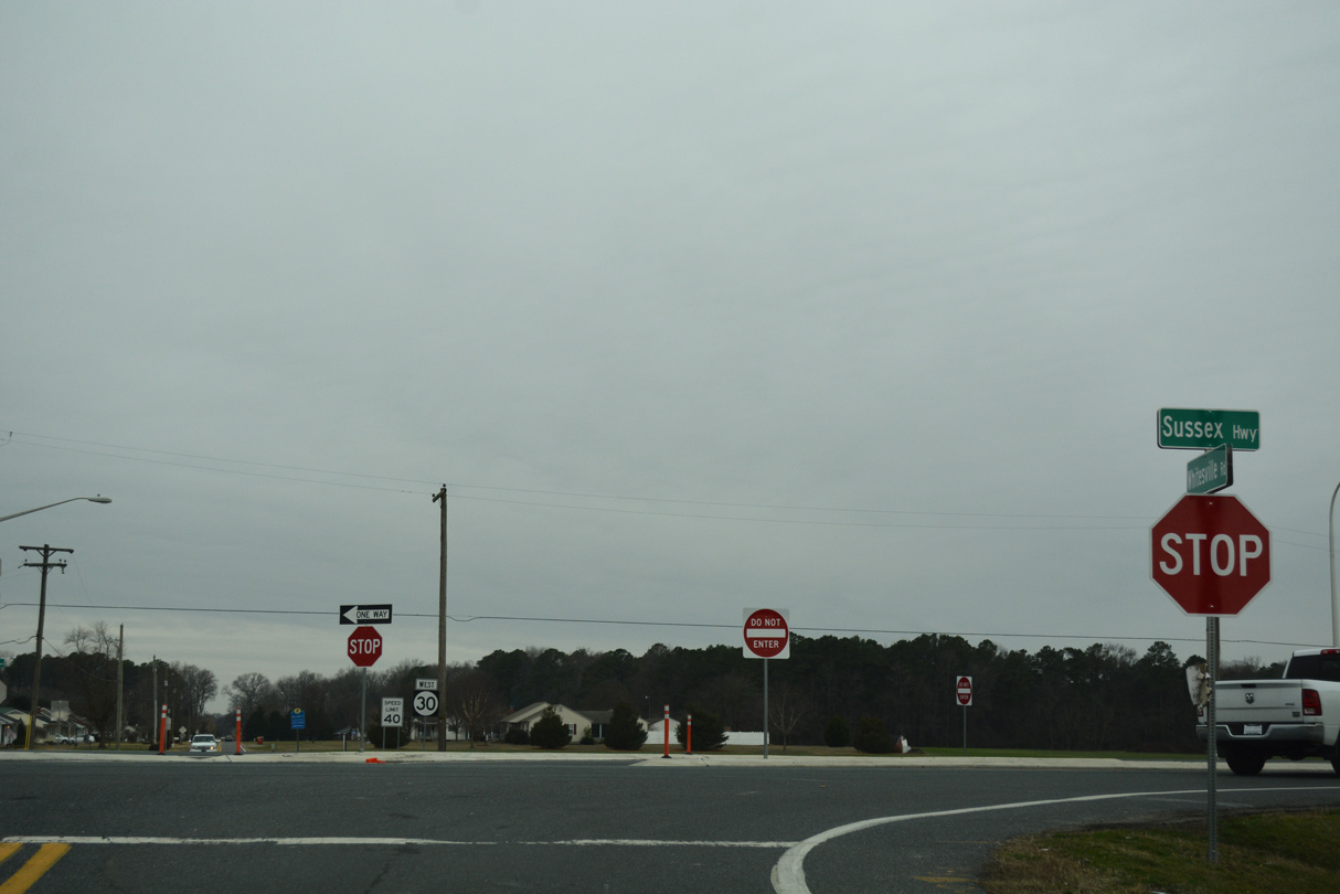
The last shield posted along SR 30 west appeared directly alongside U.S. 13 (Sussex Highway).
01/16/17
SR 30 (Dorothy Road) ended at Bi-State Boulevard across from the Country Grove subdivision. Bi-State Boulevard (Road 13) travels south from Bacons to Delmar and north to Laurel along the old route of U.S. 13.
01/16/17
References:
Bayhealth presents plans for new health campus near Milford. (2016, May 13). Coastal Point.
Photo Credits:
- Alex Nitzman: 01/16/17, 12/19/20, 12/27/25
Connect with:
Page Updated Monday January 12, 2026.