
State Route 52 South

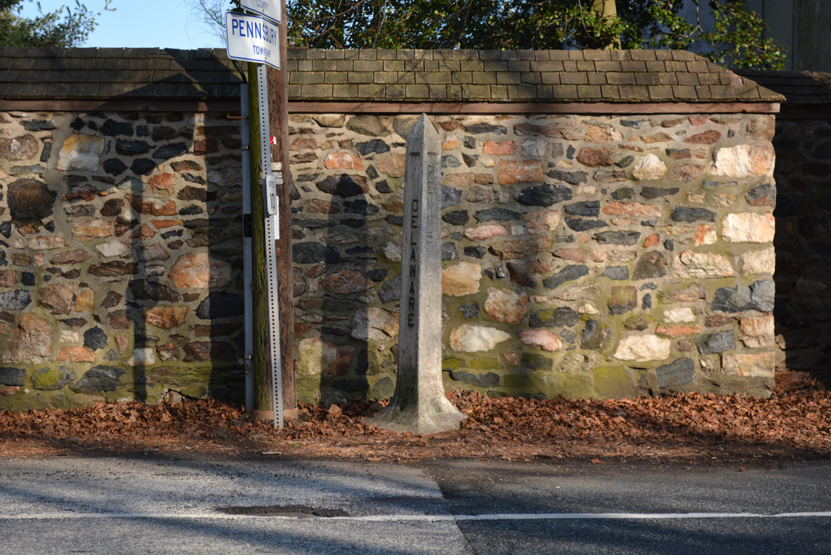
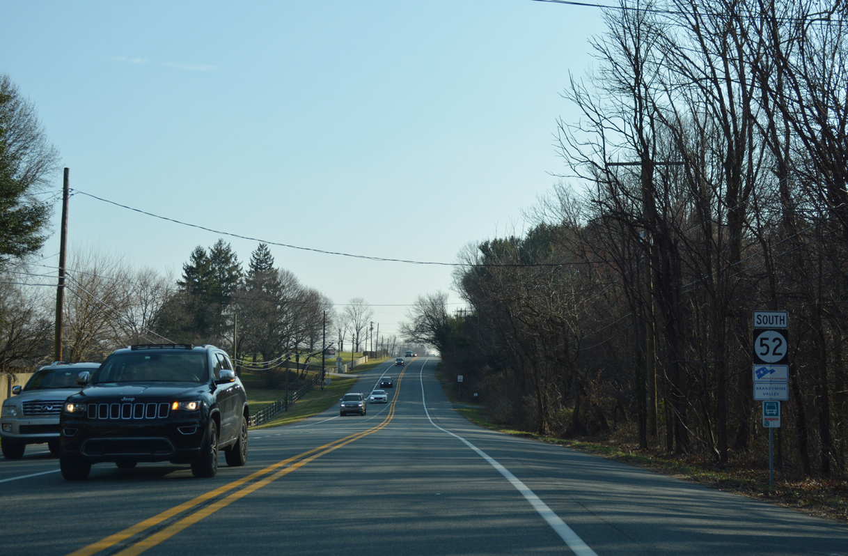
PA 52 transitions to SR 52 between Fairville in Chester County and Centerville in New Castle County. A concrete monument marks the state boundary along the east side of Kennett Pike.
12/23/18

A welcome sign stands along SR 52 south ahead of Burnt Mill Road and the signalized entrance to Centreville Layton School.
12/23/18

With origins from circa 1750, the community of Centerville is a National Historic District.
12/23/18
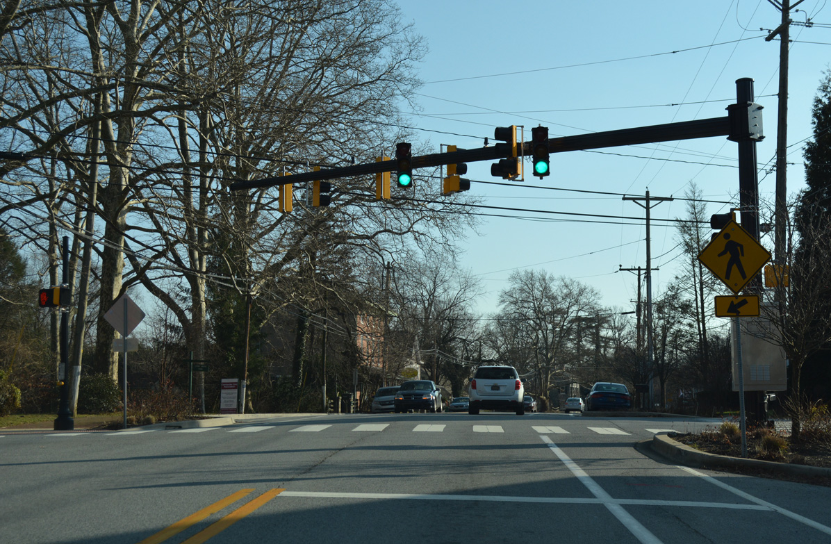
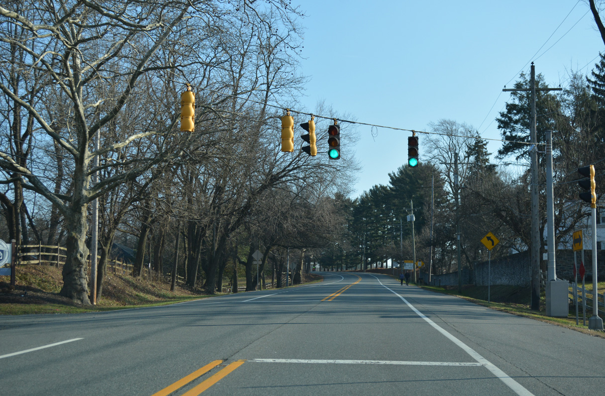
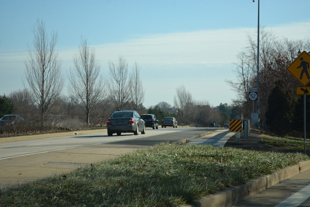
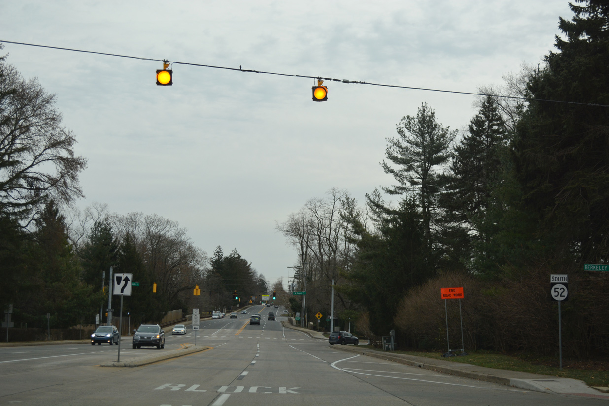
Twaddell Mill Road angles southwest from SR 100 near the Pennsylvania state line to intersect SR 52 (Kennett Pike) across from Owls Nest Road in Centerville. Signals here were activated in February 2016.
12/23/18
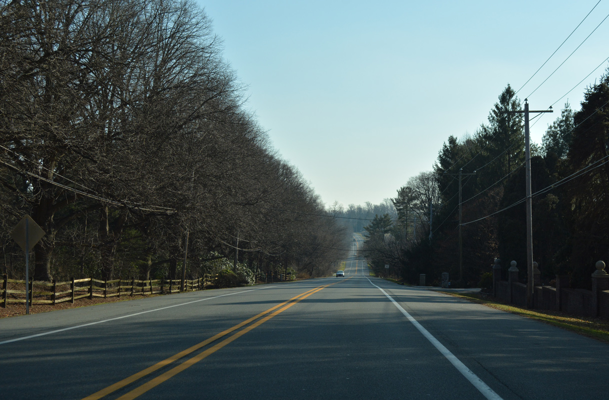
SR 52 (Kennett Pike) drops 105 feet in elevation from Owls Nest Road in Centerville 0.75 mile south to the Wyneleigh subdivision.
12/23/18
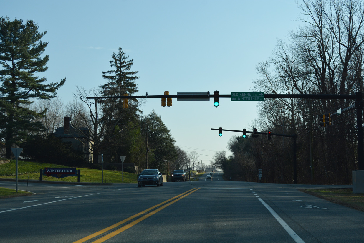
Old Kennett Road converges with SR 52 (Kennett Pike) southeast at the entrance to the Winterthur home and gardens.
12/23/18
Passing the Delaware Museum of Natural History, SR 52 next intersects the entrance to Wilmington Country Club and golf course.
12/23/18
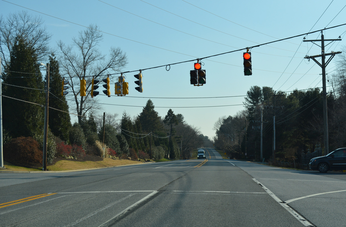
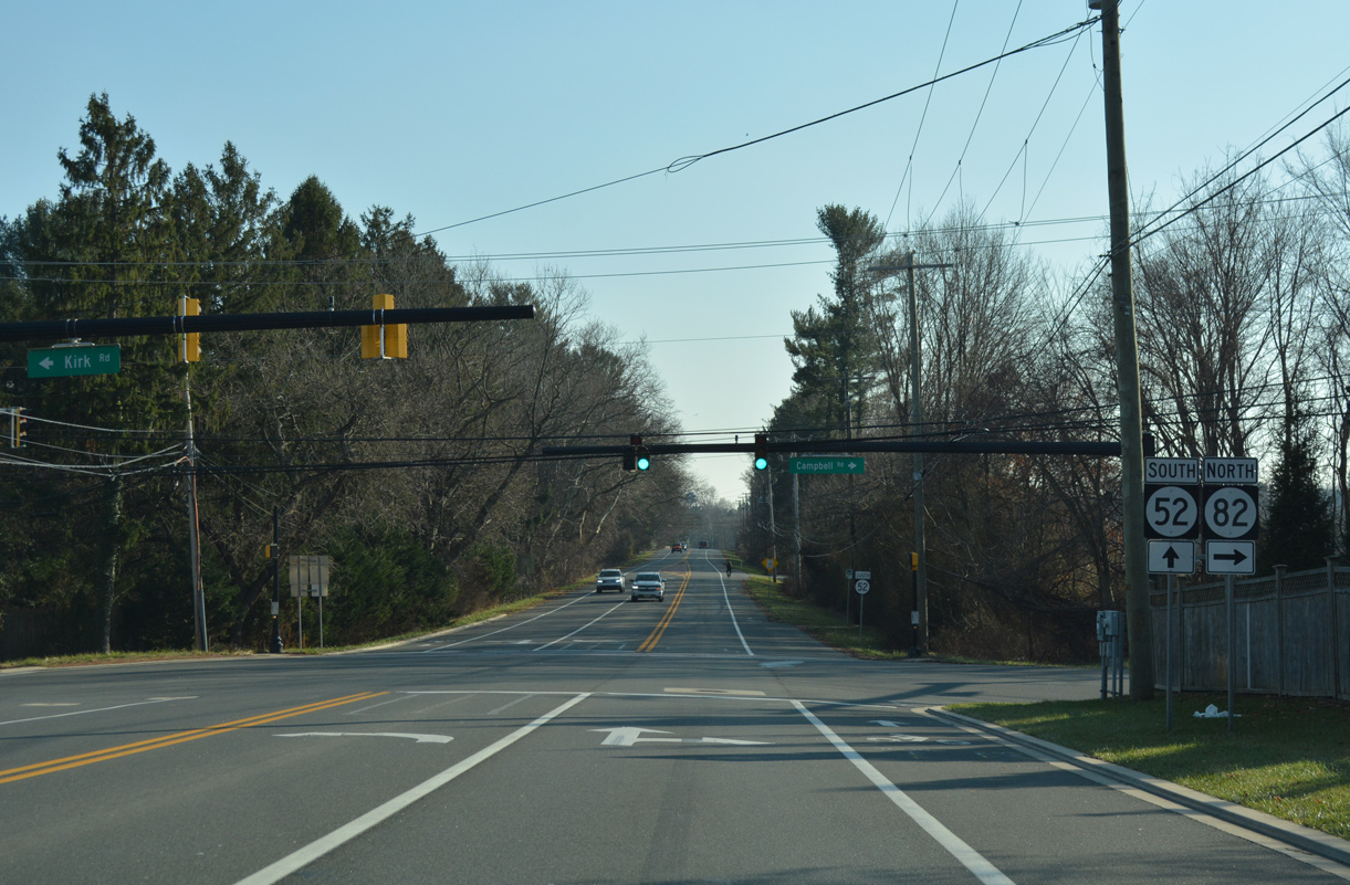
SR 52 (Kennett Pike) runs along the west side of Wilmington Country Club to the intersection of SR 82 (Campbell Road) north and Kirk Road east.
12/23/18
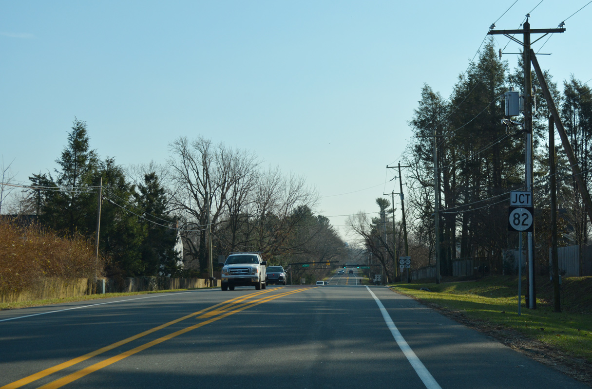
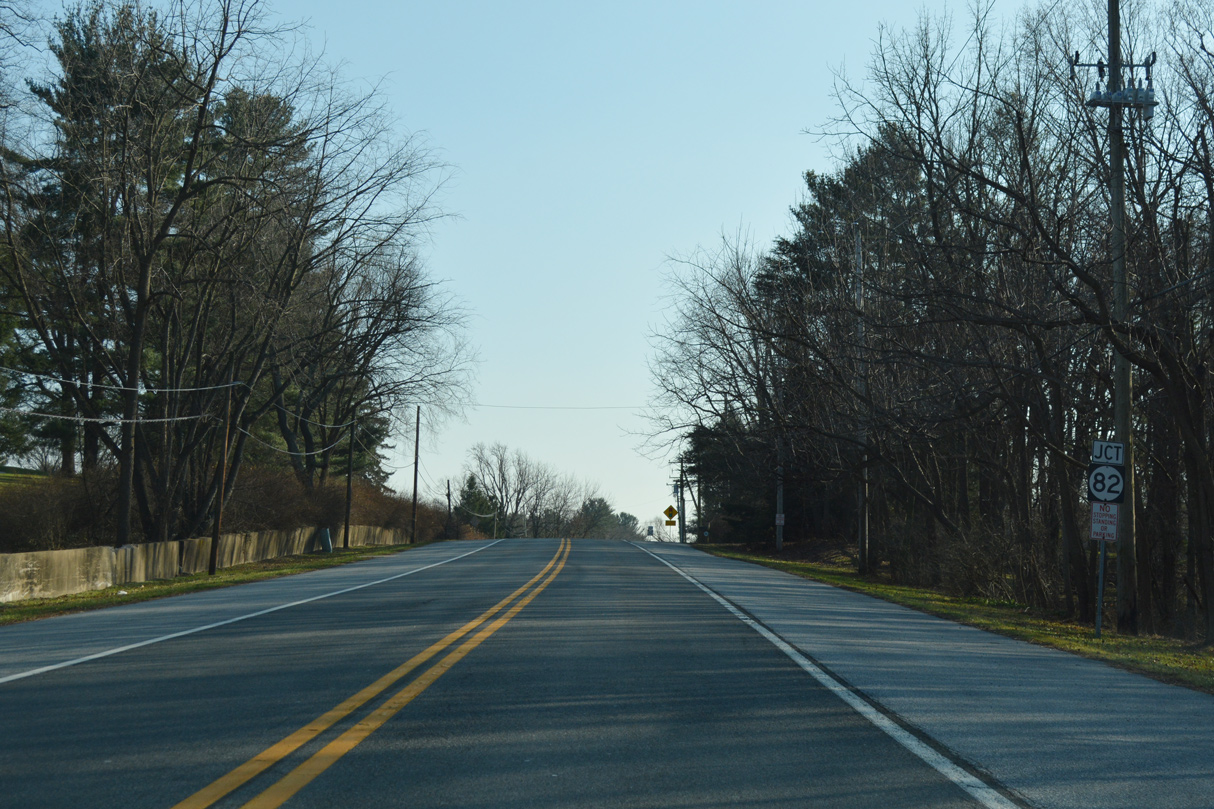
SR 82 concludes a 5.64 mile route south from the Pennsylvania state line at SR 52 and Kirk Road east of Valley Garden Park and Hoopes Reservoir.
12/23/18
A Highway Safety Improvement Program (HSIP) project added left turn lanes at the intersection between the two state routes and Kirk Road east to Montchanin in 2013-14.
12/23/18
SR 82 (Campbell Road) meanders west to Mt. Cuba, Ashland and Yorklin, becoming PA 82 north to Kennett Square and Coatesville, Kirk Road extends east to SR 100 at Montchanin.
12/23/18
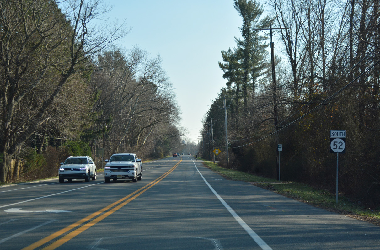
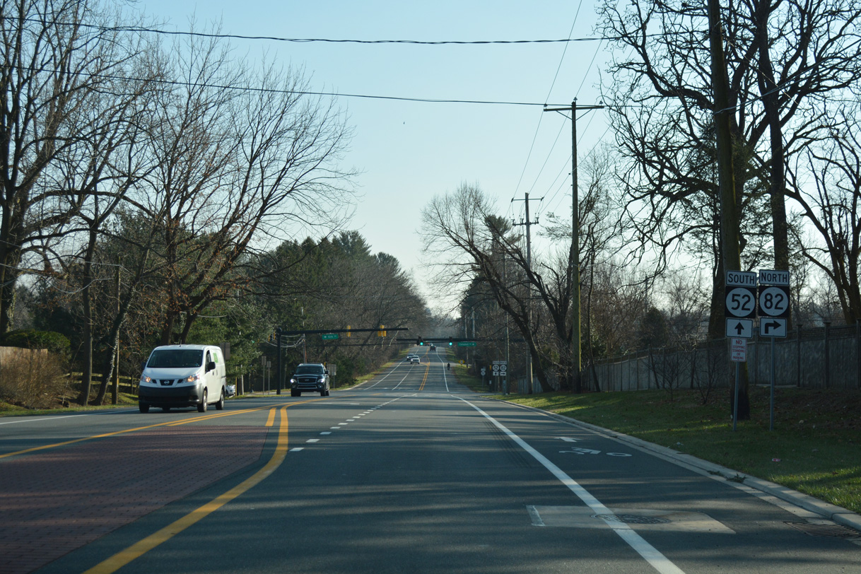
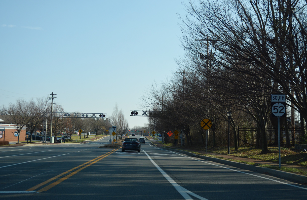
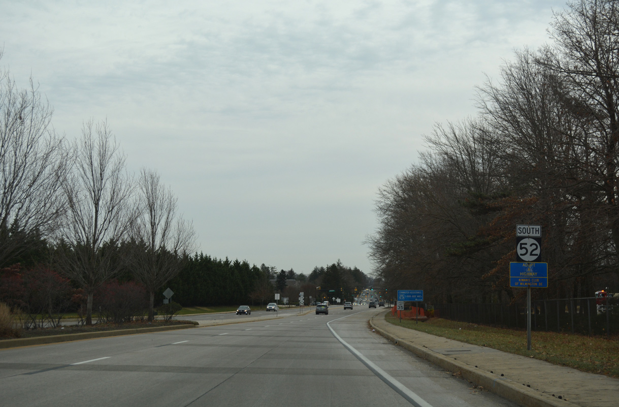
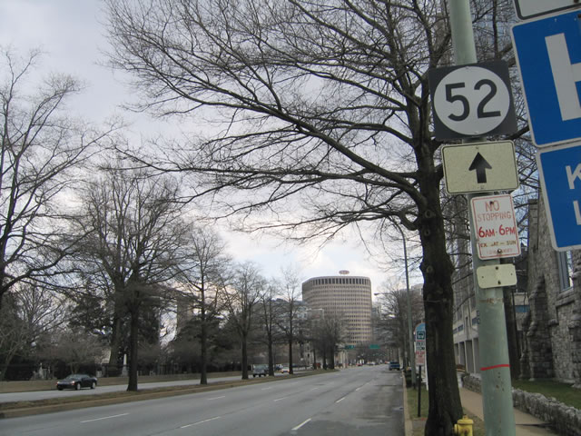
The speed limit reduces as SR 52 (Kennett Pike) proceeds south from SR 82 (Campbell Road) toward the affluent community of Greenville.
12/23/18
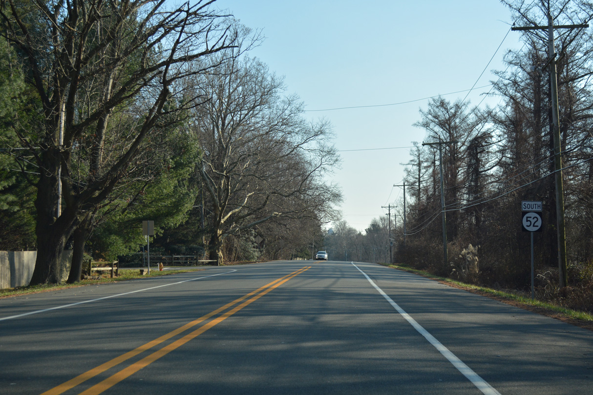
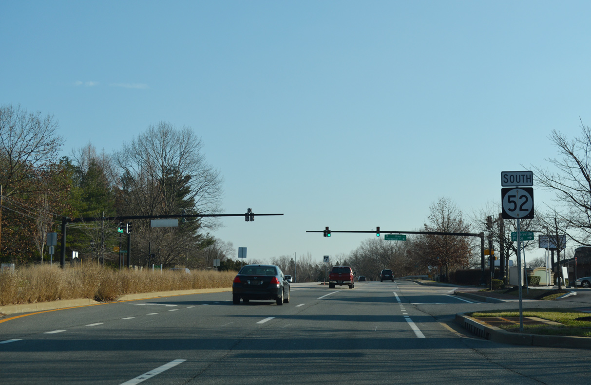
A second reassurance marker for SR 52 south of SR 82 appears at Sunnyside Road and the West Farm subdivision.
12/23/18
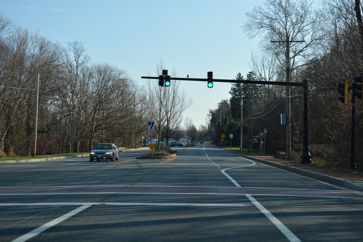
Traffic signals operate at the entrance to the Stonegates community next along SR 52 (Kennett Pike) southbound.
12/23/18
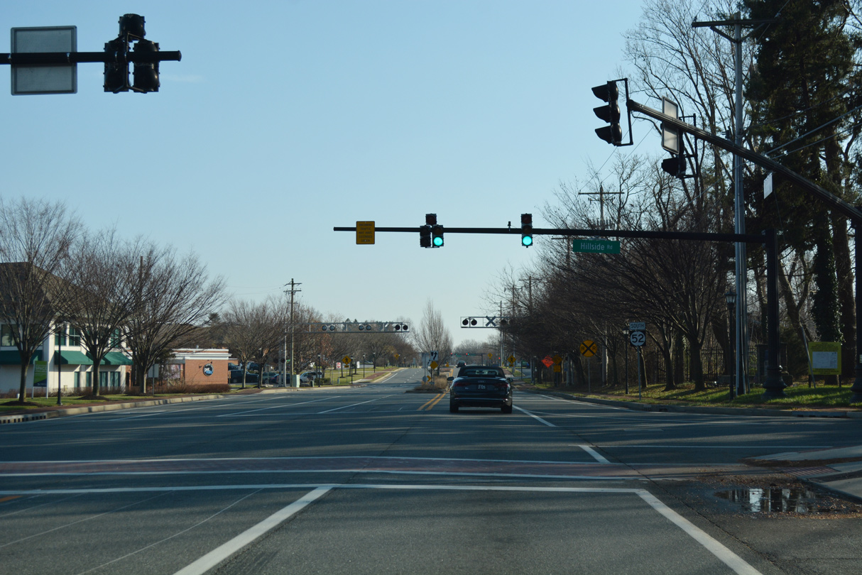
Hill Side Road heads west from SR 52 (Kennett Pike) to A.I. Dupont High School and Centerville Road near Hoopes Reservoir.
12/23/18
SR 52 (Kennett Pike) crosses the Delaware Valley Railroad beside Greenville Crossing shopping center.
12/23/18
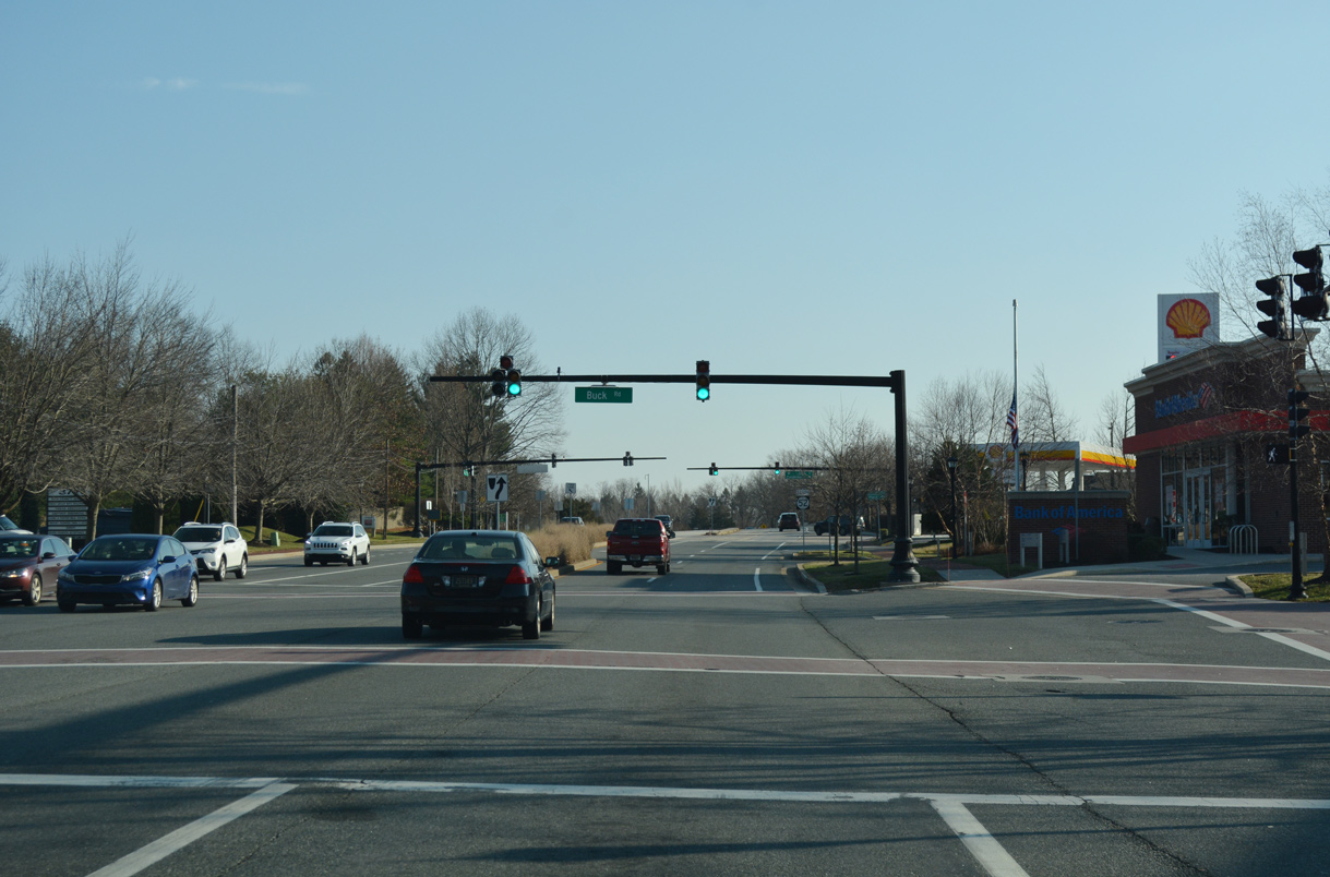
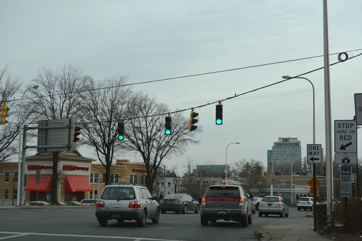
Kennett Pike widens to a four lane boulevard at Buck Road and Powder Mill Square shopping center. Buck Road links SR 52 with SR 100 (Montchanin Road) just to the east.
12/23/18
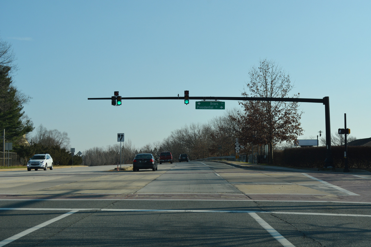
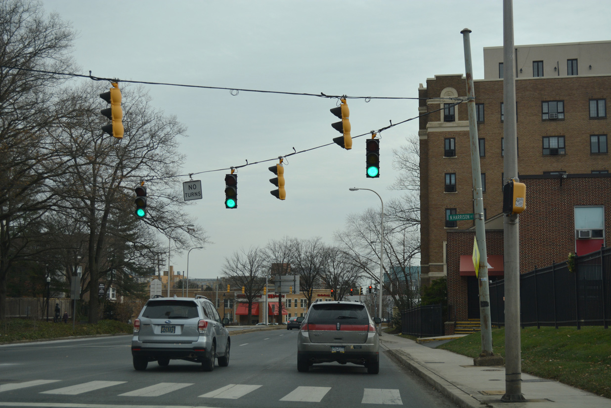
Briars Lane west and Presidential Drive east come together at the ensuing southbound signal. SR 52 expands into an arterial with concrete travel lanes here.
12/23/18
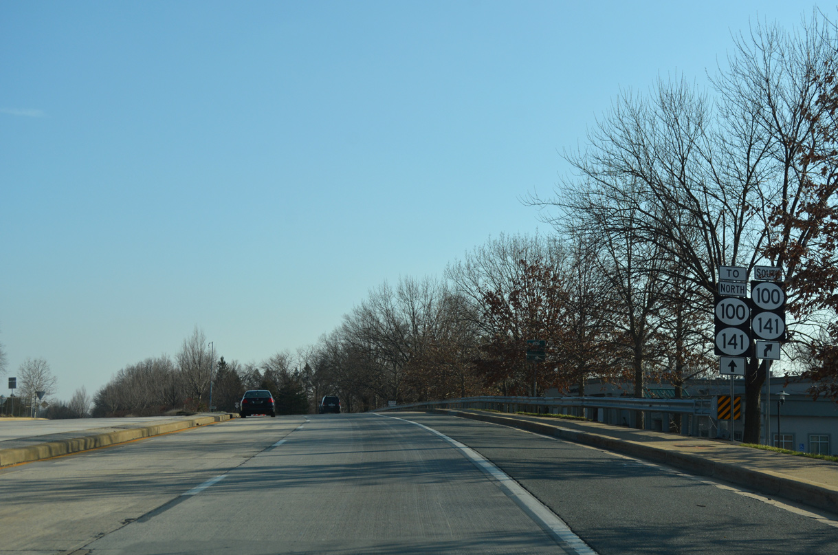
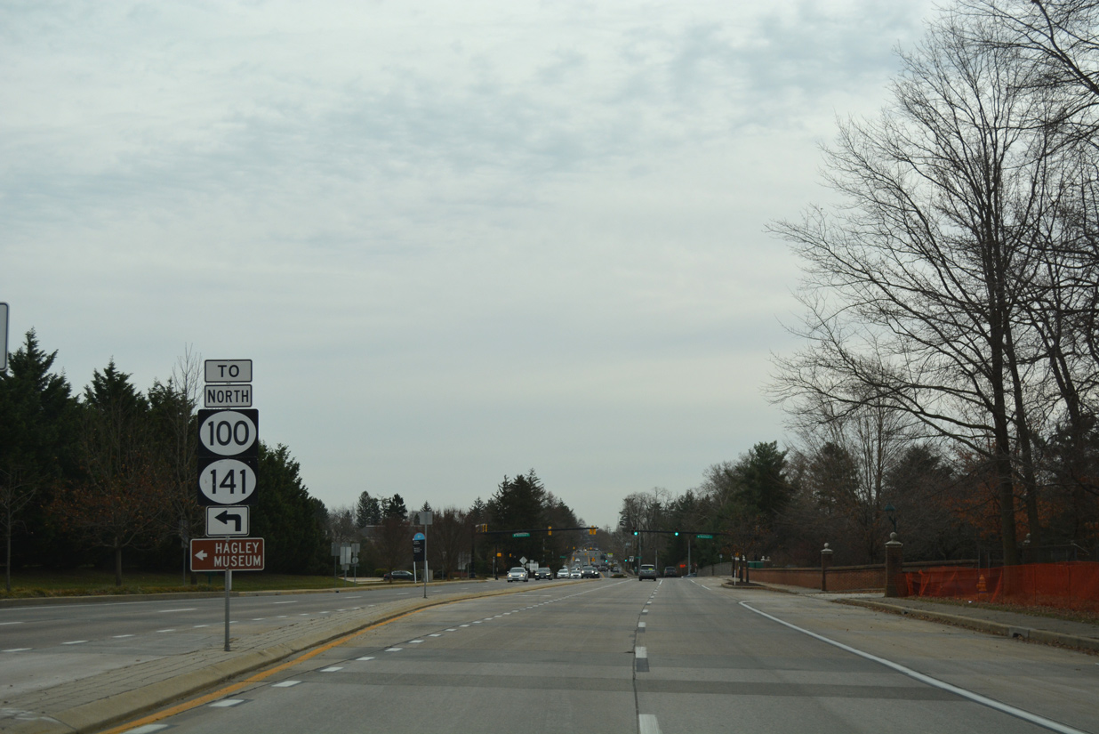
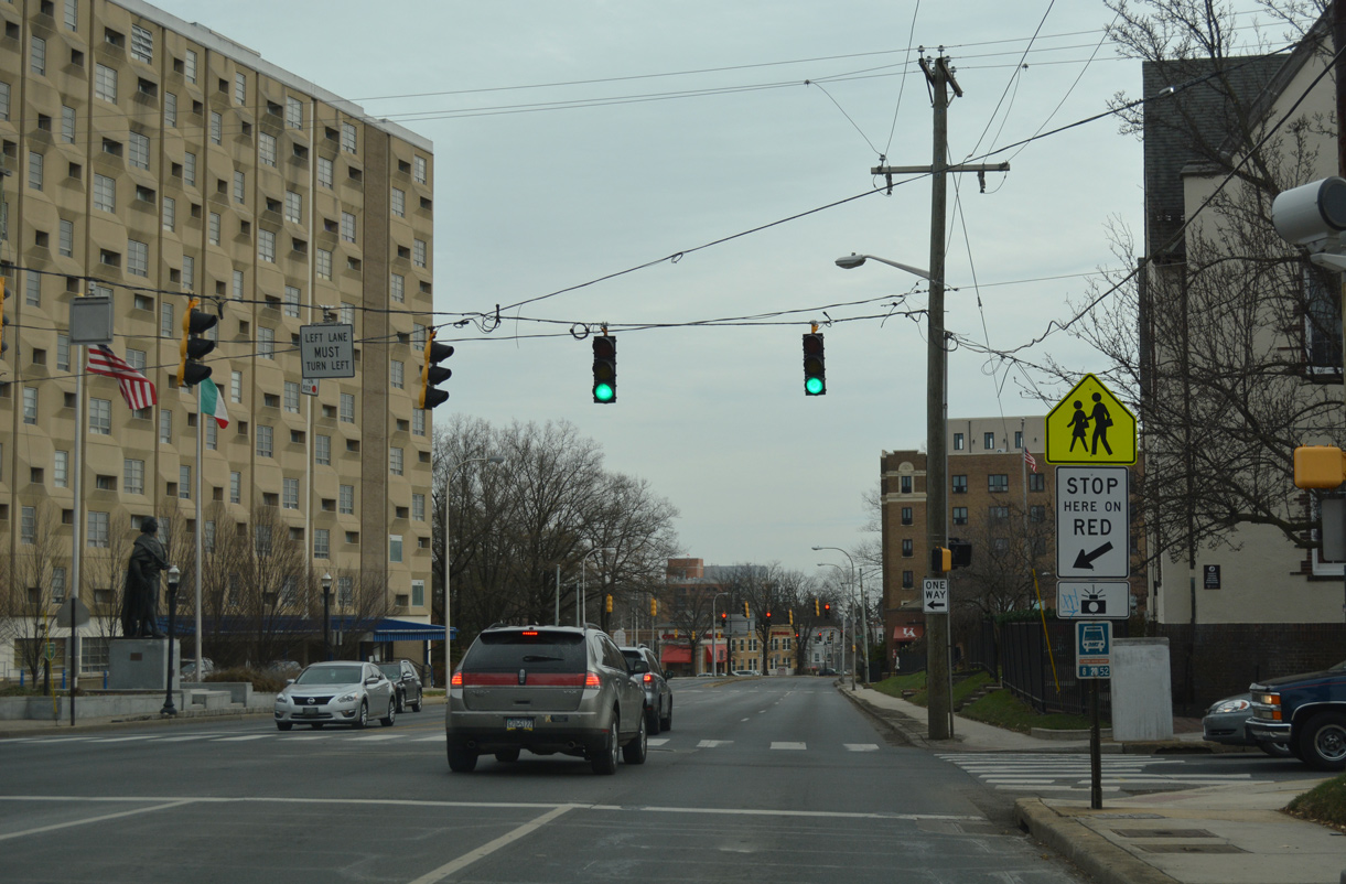
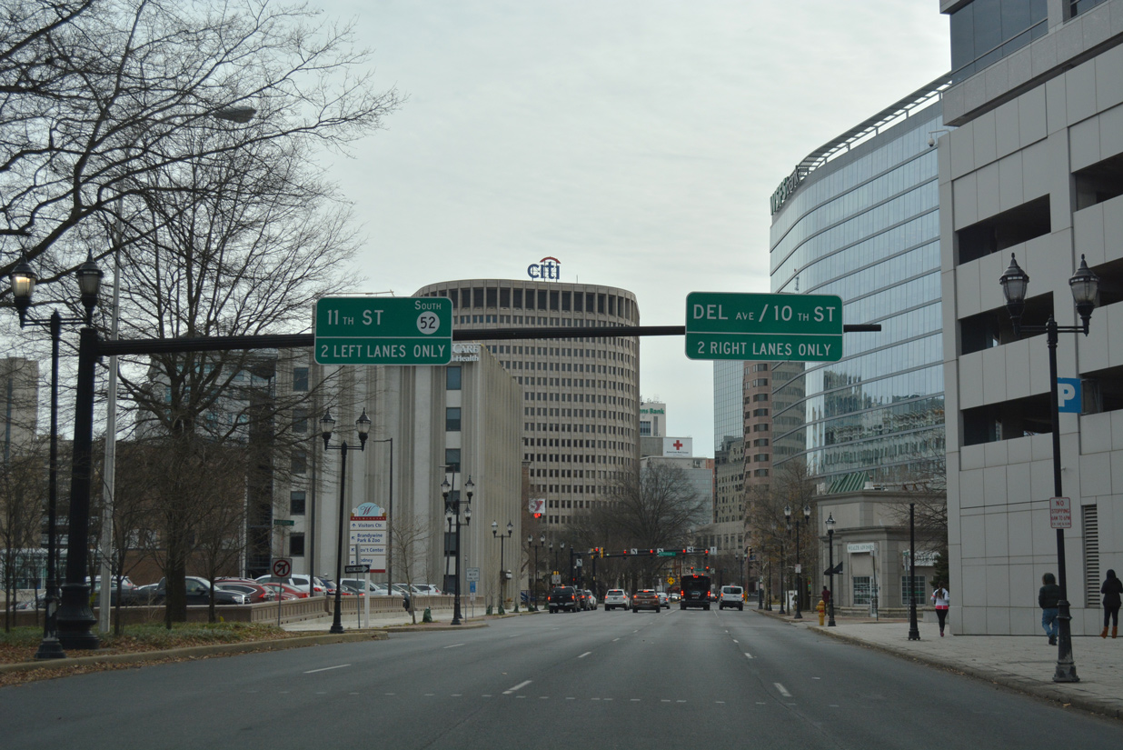
Leaving Greenville, SR 52 (Kennett Pike) meets the SR 141 expressway at a parclo interchange. SR 100 combines with SR 141 from adjacent Montchanin Road south to Barley Mill Plaza and SR 48 (Lancaster Pike).
12/23/18
There is no direct access to SR 100 (Montchanin Road) north or SR 141 (Barley Mill Road) north from SR 52 (Kennett Pike) south. The interchange is incomplete as the SR 141 freeway was never fully completed between Newport and Fairfax.
12/22/16
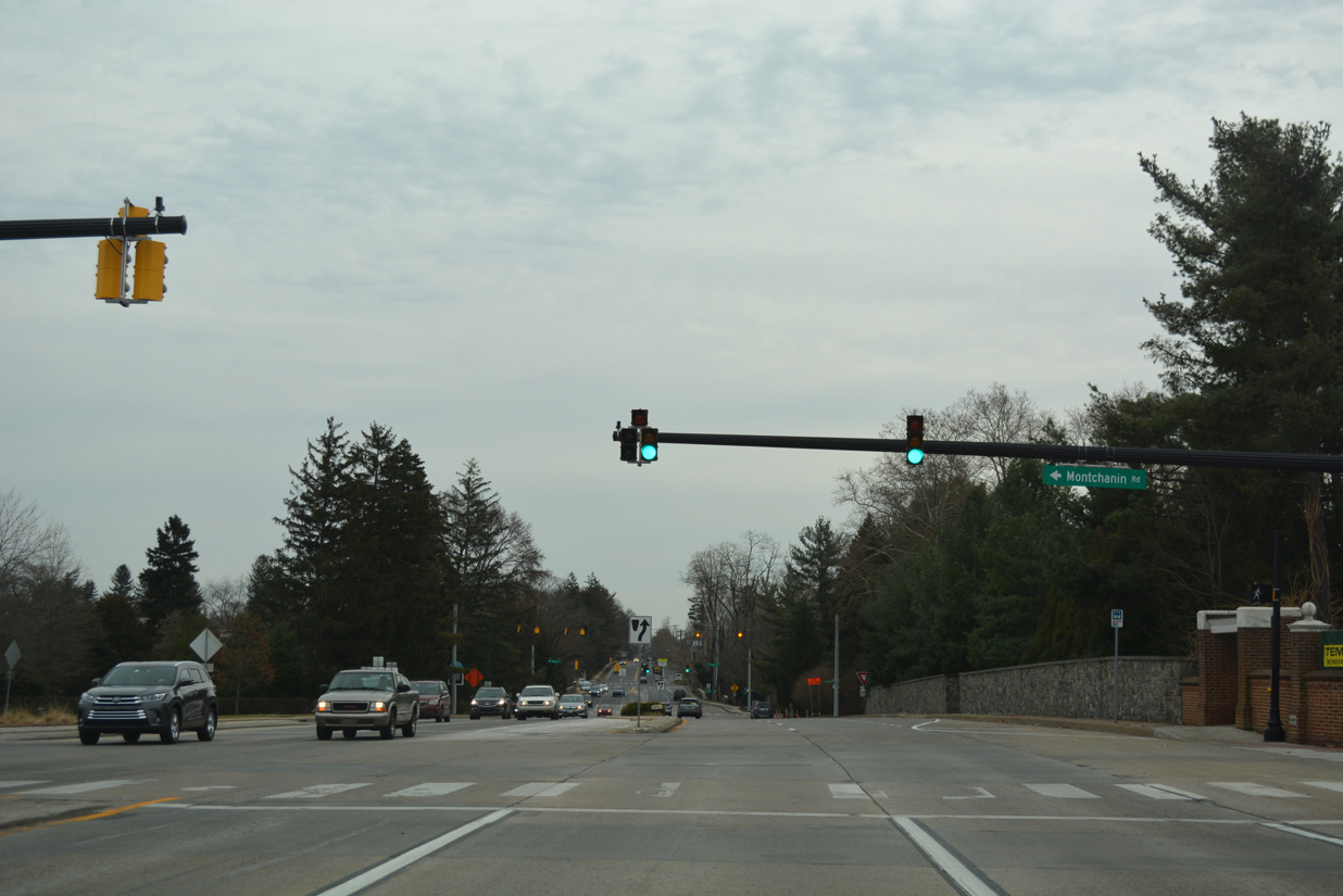
Kennett Pike progresses south as a four lane divided arterial to the merge with Montchanin Road (former SR 100).
12/20/17
Montchanin Road leads motorists back north to an at-grade intersection where SR 100 north splits with SR 141 (Barley Mill Road).
12/20/17
SR 52 (Kennett Pike) south at Montchanin Road. This set of mast arm signals replaced a span wire array in 2014.
12/20/17
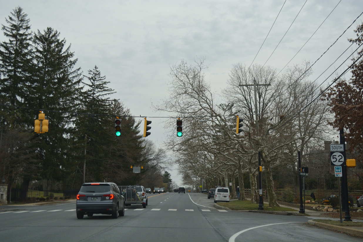
This confirming marker for SR 52 south stands at Berkeley Road west to the Westover Hills community.
12/20/17
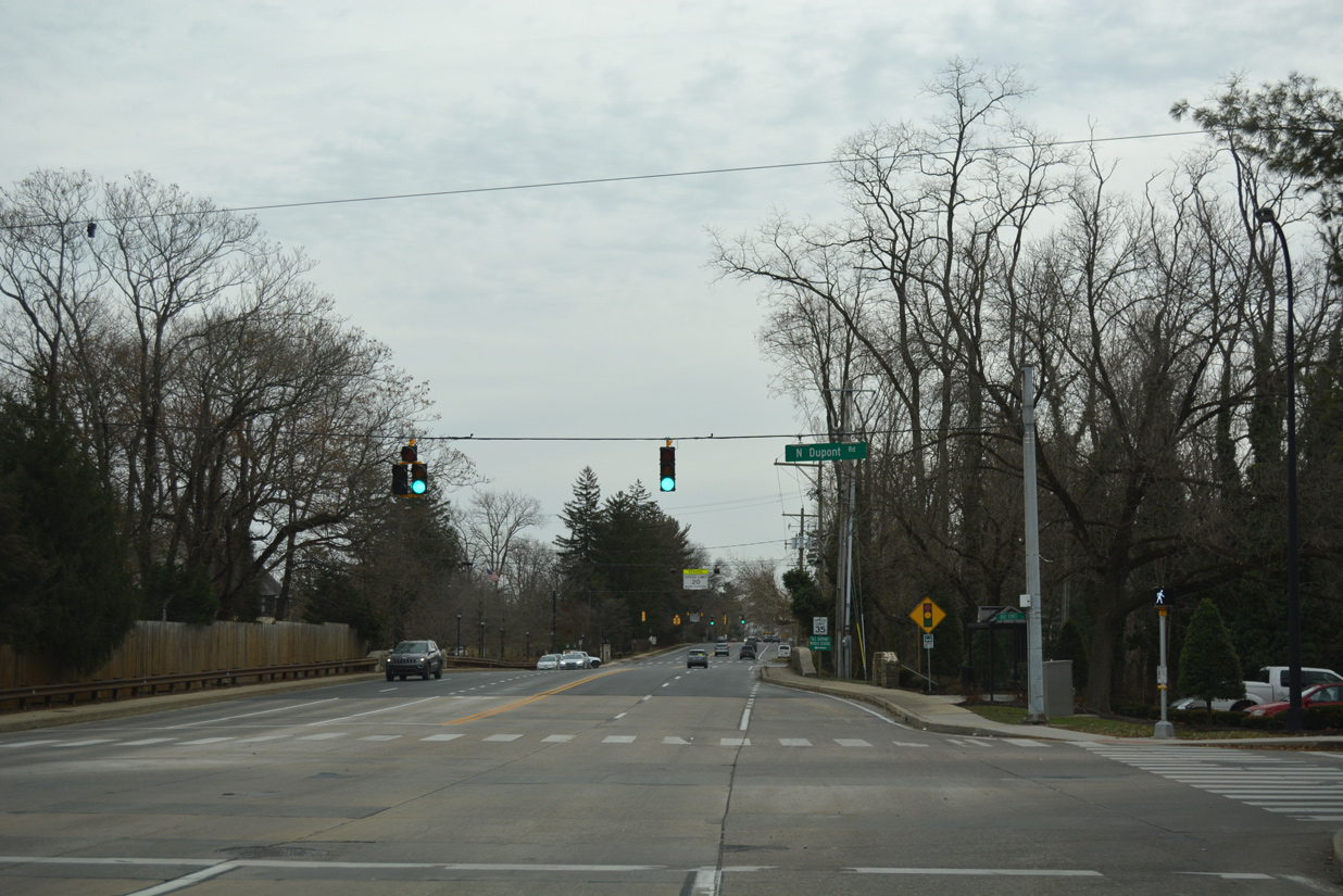
Prior to 1989, SR 100 combined with SR 52 (Kennett Pike) from Montchanin Road to North Dupont Road. The state route was realigned to shift truck traffic away from the Westover Hills community outside Wilmington.
12/20/17
SR 52 (Kennett Pike) south at Hopeton Road to Westover Hills. Pedestrian signals for adjacent A.I. Dupont Middle School here were replaced with a fully signalized intersection with Hopeton Road by 2007.
12/20/17

Alders Lane and Rising Sun Lane come together at Kennett Pike by Tower Hill School. Rising Sun Lane north straddles the Wilmington city line to Rockford Park and the historic Rising Sun Bridge across Brandywine Creek.
12/20/17
Pennsylvania Avenue extends SR 52 southeast by the Highlands neighborhood through northwest Wilmington. Greenhill Avenue north to Rockford Park and south to SR 48 (Lancaster Avenue) follows.
12/20/17
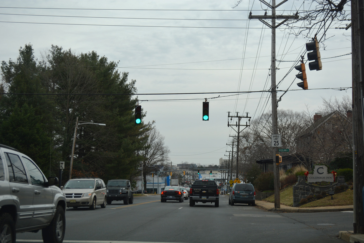
The subsequent traffic light along Pennsylvania Avenue operates at Woodlawn Avenue by the Wawaset neighborhood.
12/20/17
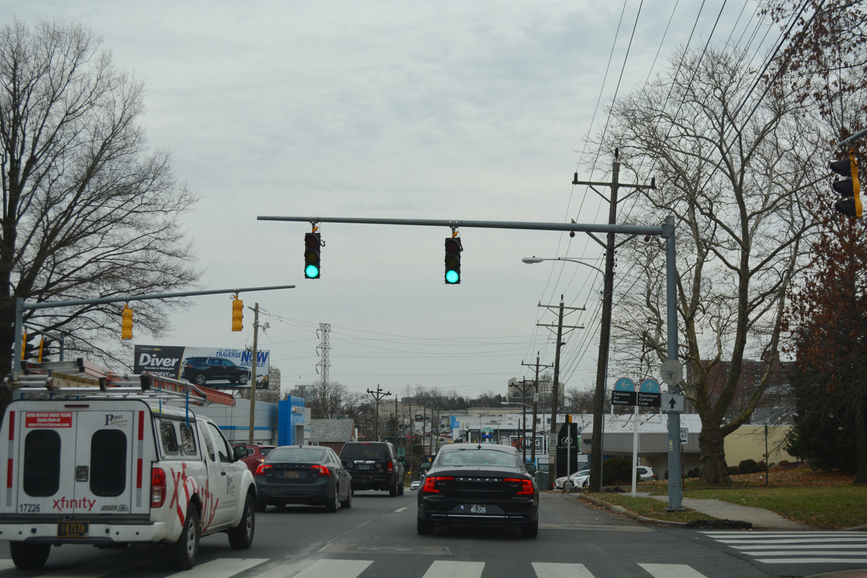
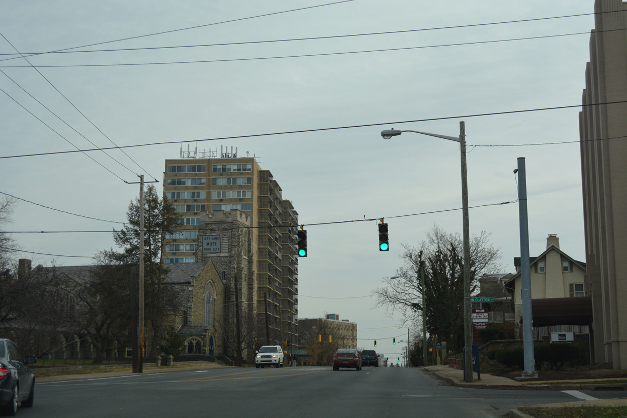
Bancroft Parkway crosses paths with SR 52 next with a wide landscaped median. Separated into two sections, Bancroft Parkway originates at Canby Park and Barry Street and runs northward to the Flats neighborhood and Eighth Street. The parkway resumes at Ninth Street, just north of the CSX railroad under crossing, northward to Pennsylvania Avenue, Forty Acres, and Kentmere Parkway near the Delaware Art Museum.
12/20/17
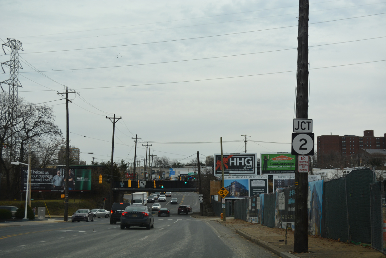
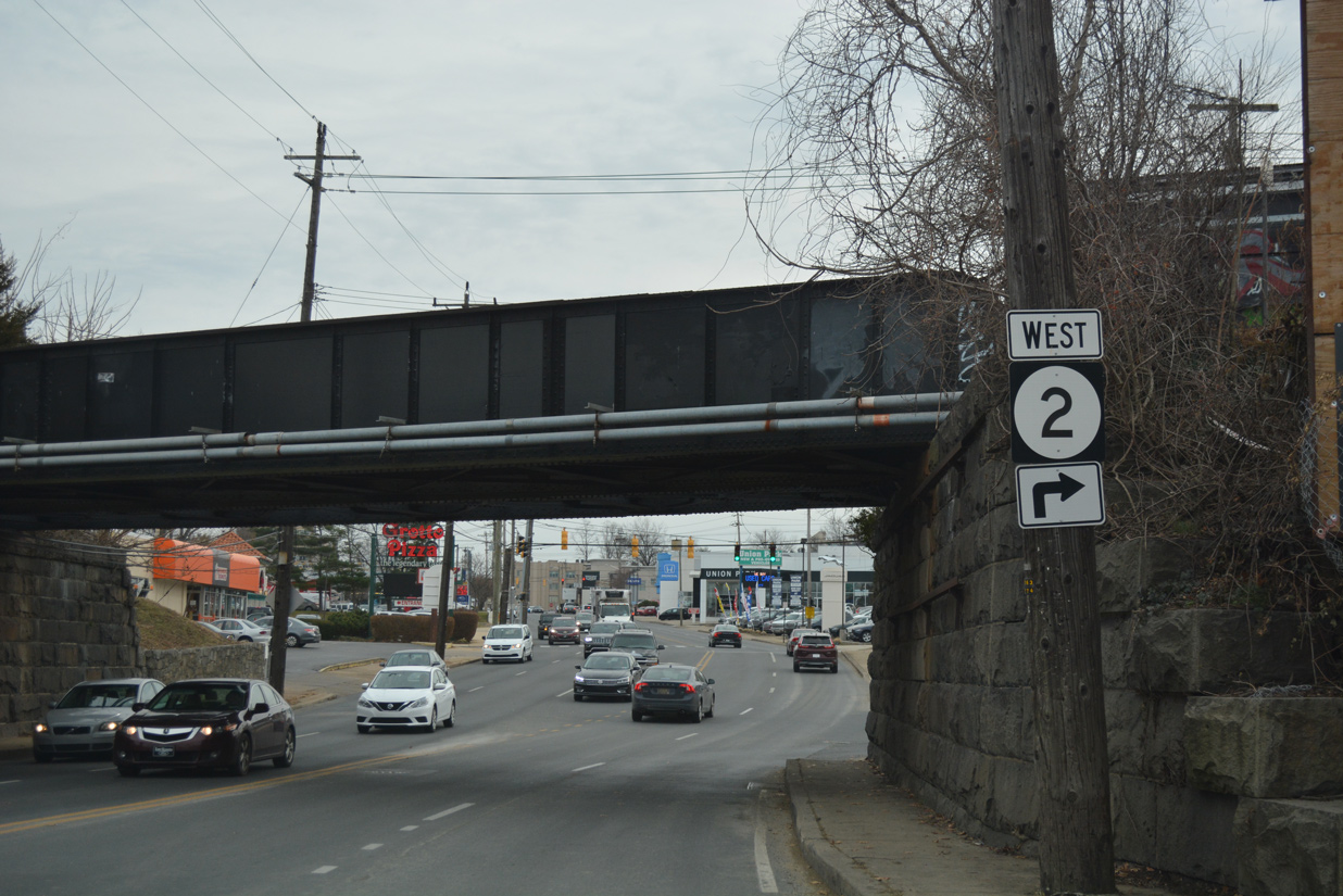
SR 52 sinks past Grant Avenue toward Union Street, the CSX Railroad overpass, and the westbound beginning of SR 2.
12/20/17
The north segment of Union Street carries two way traffic to Stapler Park and the Forty Acres community. Union Street resumes south from Pennsylvania Avenue after the CSX Railroad bridge.
12/20/17
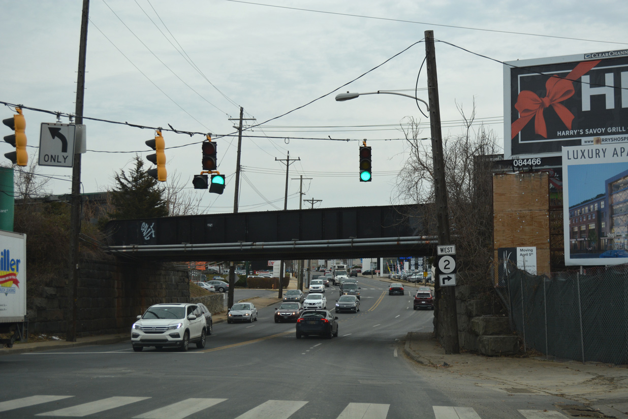
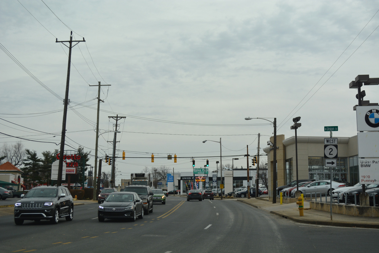
SR 2 west lines Union Street southwest to Little Italy, the Flats and Union Park Gardens neighborhoods to Canby Park. The state route totals 10.81 miles from SR 52 to SR 273 in Newark.
12/20/17
Lincoln Street carries the eastbound direction of SR 2 from Canby Park to SR 52 (Pennsylvania Avenue). Lincoln Street becomes two way north of Pennsylvania Avenue to West 13th Street.
12/20/17
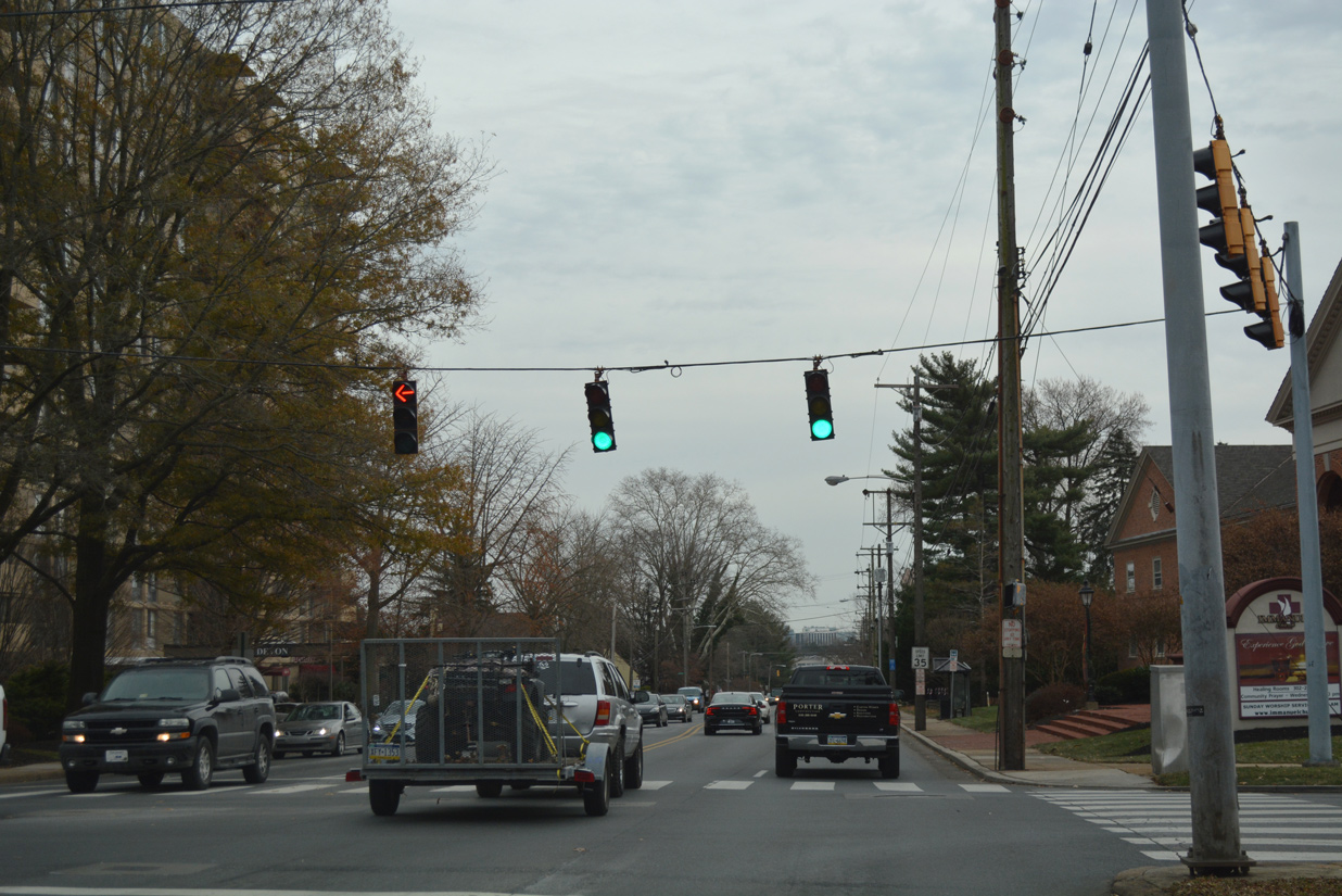
SR 52 confirming shield posted after SR 2 (Lincoln Street) east.
12/20/17
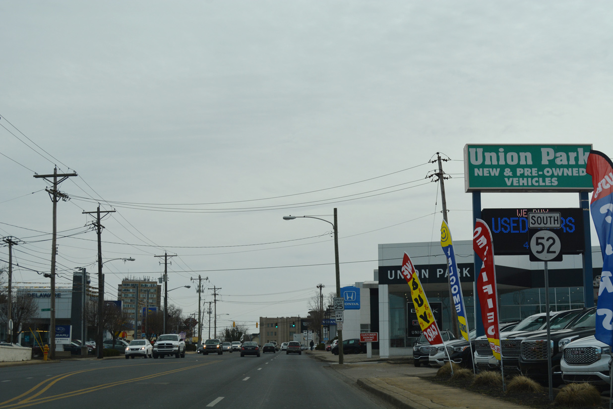
An array of car dealerships line Pennsylvania Avenue south to Dupont Street. Dupont Street flows south from Trolley Square to St. Francis Hospital and Bayard Square.
12/20/17
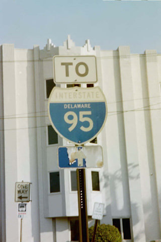
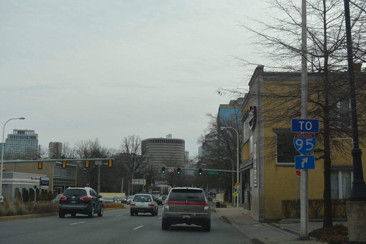
SR 52 (Pennsylvania Avenue) southbound at Clayton Street north and a small strip of Twelfth Street east. A state-named trailblazer for I-95 stood at the wedge of 12th Street until sometime between 2001 and 2004.
10/10/01
Clayton Street is a one way street north from West Hill to intersect Pennsylvania Avenue three blocks south of Trolley Square.
12/20/17
Rodney Street provides one of the few north-south streets with two-way traffic in north Wilmington. Pictured here is the Pennsylvania Avenue intersection with Rodney Street near the Delaware Avenue community.
12/20/17
Broom Street provides a secondary through route south from Pennsylvania Avenue to Hilltop and the St. Elizabeth Area to SR 4 (Maryland Avenue).
12/20/17
SR 52 (Pennsylvania Avenue) south intersects Franklin Street next. Franklin Street flows north through the Hilltop and Cool Spring communities to Lovering Avenue at Brandywine Park.
12/20/17
Delaware Avenue originates in the Highlands community by Rockford Park. The through street angles southeast to Trolley Square and Harrison Street. Harrison Street takes southbound traffic from Delaware Avenue to Pennsylvania Avenue by Fountain Plaza.
12/20/17
Delaware Avenue splits with SR 52 north as a one way street from Van Buren Street. SR 52 south overtakes Delaware Avenue through Happy Valley and across Interstate 95.
12/20/17
A lone I-95 trailblazer precedes the Delaware Avenue intersection with Jackson Street. It directs motorists to both the adjacent southbound on-ramp, and the northbound on-ramp located at Adams and 10th Streets.
12/20/17
Jackson Street forms the west side frontage street for Interstate 95 between Gilpin Avenue and SR 48 (Lancaster Avenue) at Hedgeville.
12/20/17
Continuing beyond Interstate 95, SR 52 (Delaware Avenue) enters the Wilmington business district by Wilmington & Brandywine Cemetery. A confirming marker was once posted after Adams Street.
03/19/04
Delaware Avenue separates with 12th Street and becomes one way southbound ahead of 11th Street. Overhead guide signs direct SR 52 to the left as the state route partitions into the couplet of 11th Street south / 12th Street north.
12/20/17
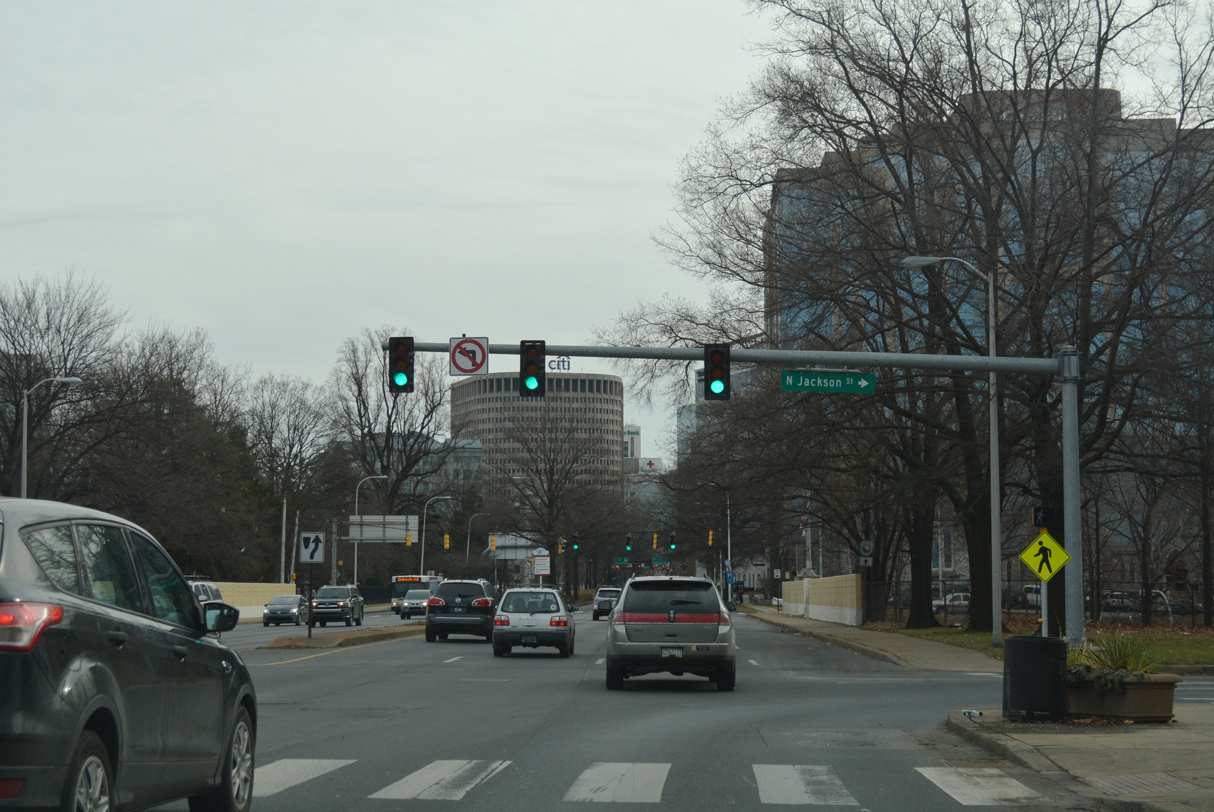
SR 52 splits with Delaware Avenue at Jefferson Street. 11th Street leads the state route eight blocks to its conclusion at U.S. 13 Business (Walnut Street) northbound.
12/20/17
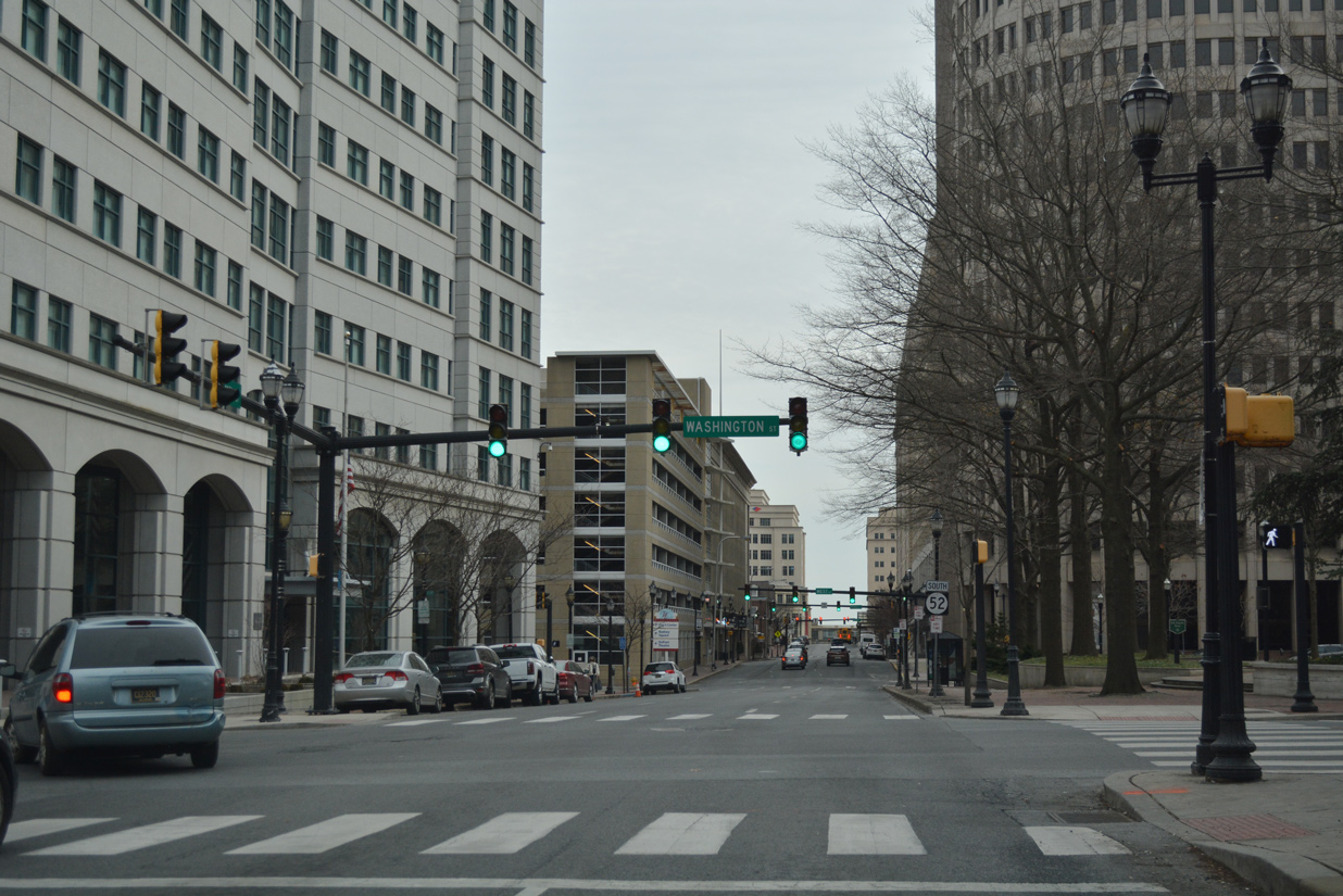
SR 52 (11th Street) south next intersects Washington Street, the historic alignment of U.S. 202 north to Baynard Boulevard and south to Front Street.
12/20/17
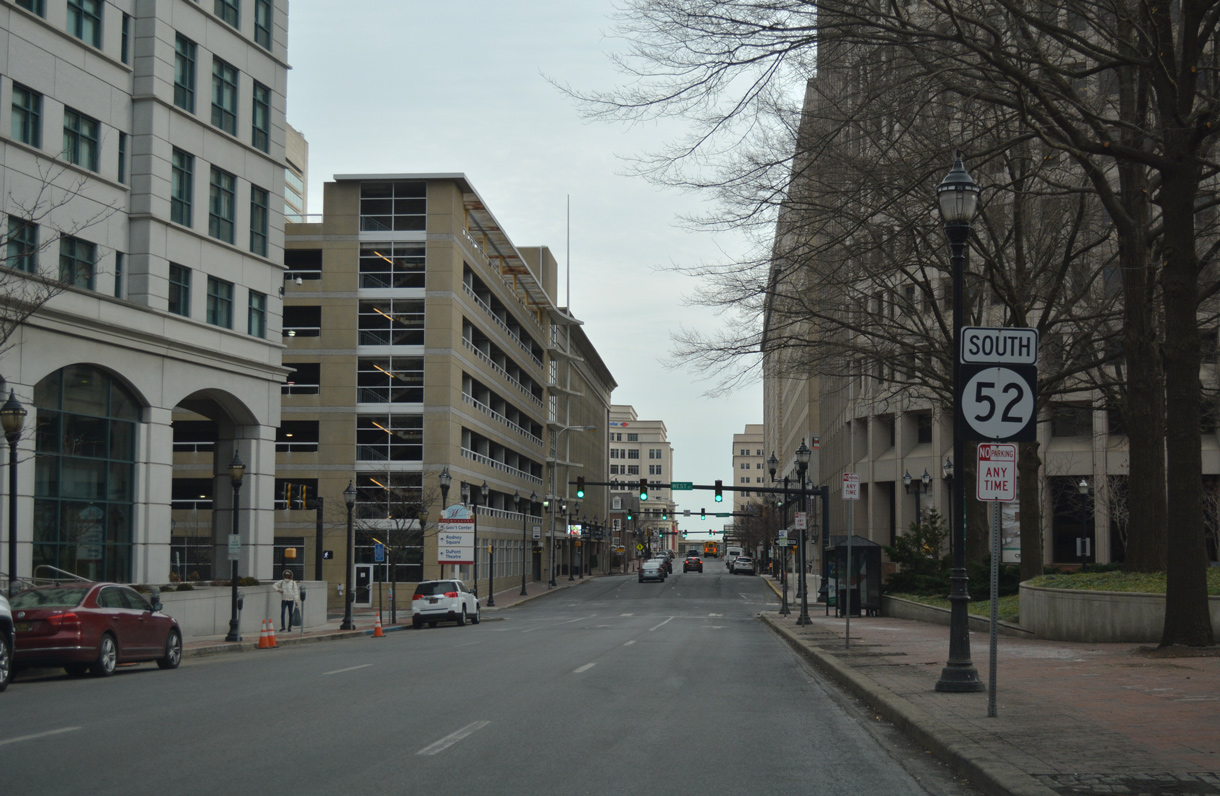
The final shield for SR 52 stands at H.B. DuPont Plaza along 11th Street south ahead of West Street.
12/20/17
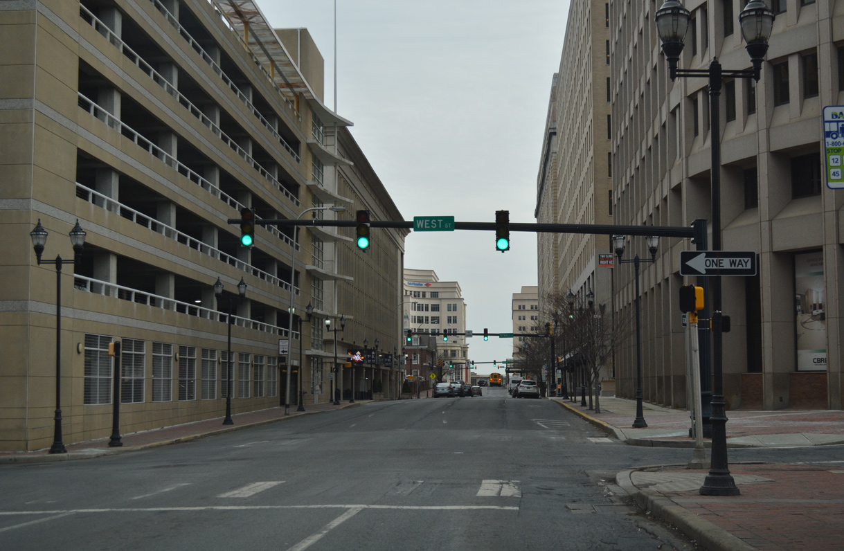
West Street flows north across SR 52 (11th Street) to the Midtown Brandywine neighborhood.
12/20/17
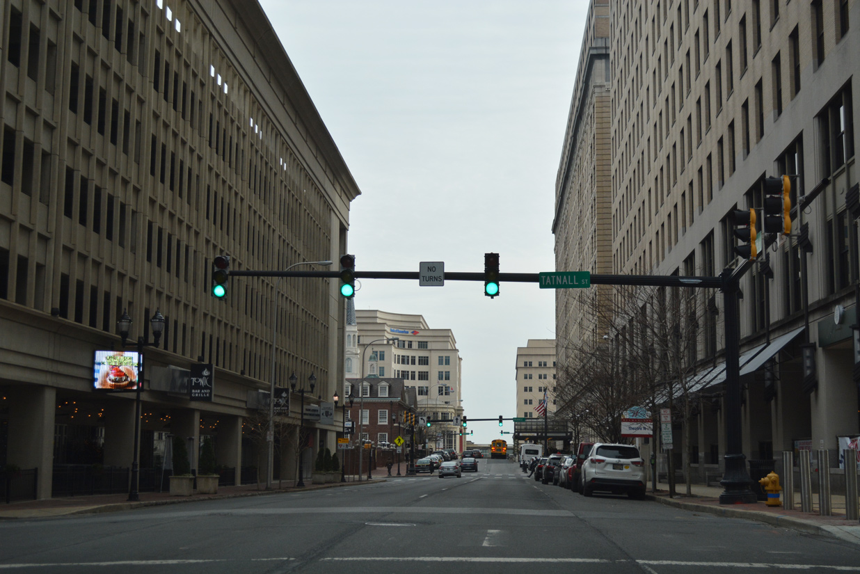
One block from West Street, SR 52 (Eleventh Street) intersects Tatnall Street southbound. Tatnall Street is discontinuous between Eleventh and Tenth Streets.
12/20/17

11th Street south at Orange Street by the Hotel DuPont. Orange Street flows north from SR 52 to Midtown Brandywine and H. Fletcher Brown Park.
12/20/17

Southbound SR 52 (11th Street) at Market Street and Rodney Square.
12/20/17
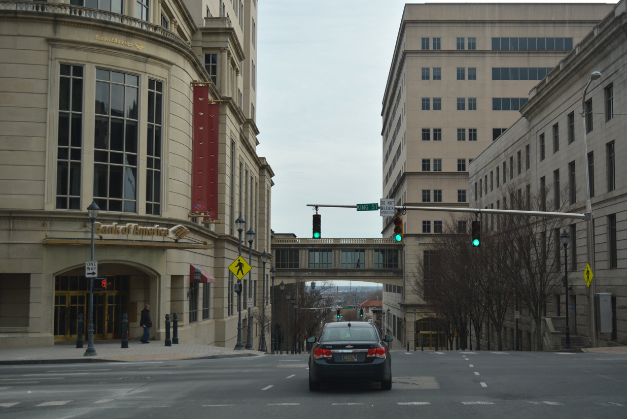
SR 52 crosses King Street (U.S. 13 Business south) from Rodney Square. U.S. 13 Business separates along the couplet of King Street south and Market Street north between 2nd and 16th Streets.
12/20/17
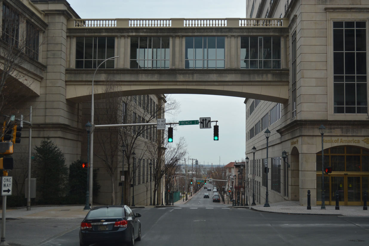
French Street, a local street that formerly was a part of both U.S. 13 and U.S. 202, runs between the couplet of King and Walnut Streets.
12/20/17
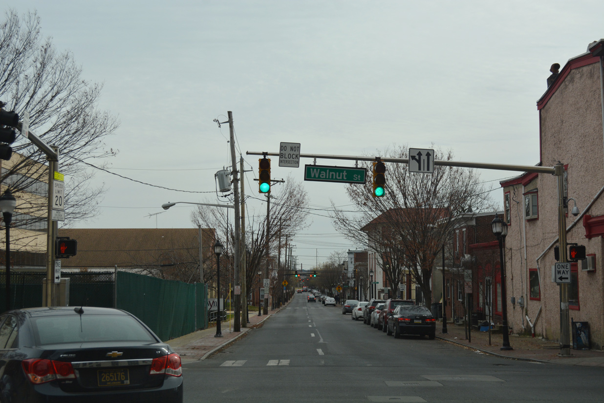
SR 52 concludes at an unmarked intersection with U.S. 13 Business (Walnut Street) northbound. Walnut Street leads the business route north to 16th Street for the Market Street Bridge to Brandywine Village. 11th Street extends east through the Upper East Side community to U.S. 13 (Church / Spruce Streets).
12/20/17
Photo Credits:
- Alex Nitzman: 10/10/01, 03/19/04, 12/22/16, 12/20/17, 12/23/18
- ABRoads: 12/20/17
Connect with:
Page Updated Saturday August 24, 2019.