
State Road 228 East - Jacksonville

 East
East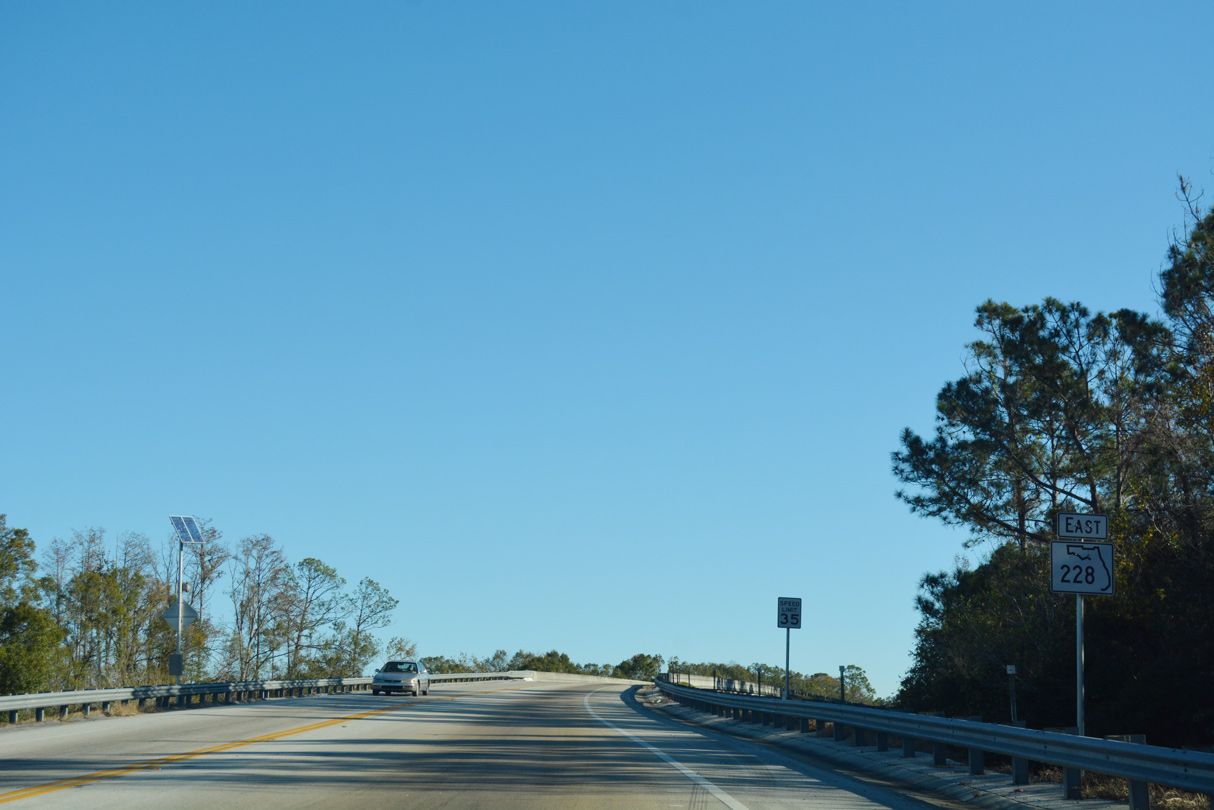
The Duval County portion of SR 228 branches east from U.S. 301 at Maxville. The first shield precedes the CSX Railroad underpass ahead of Main Street and Maxville Boulevard.
12/13/17
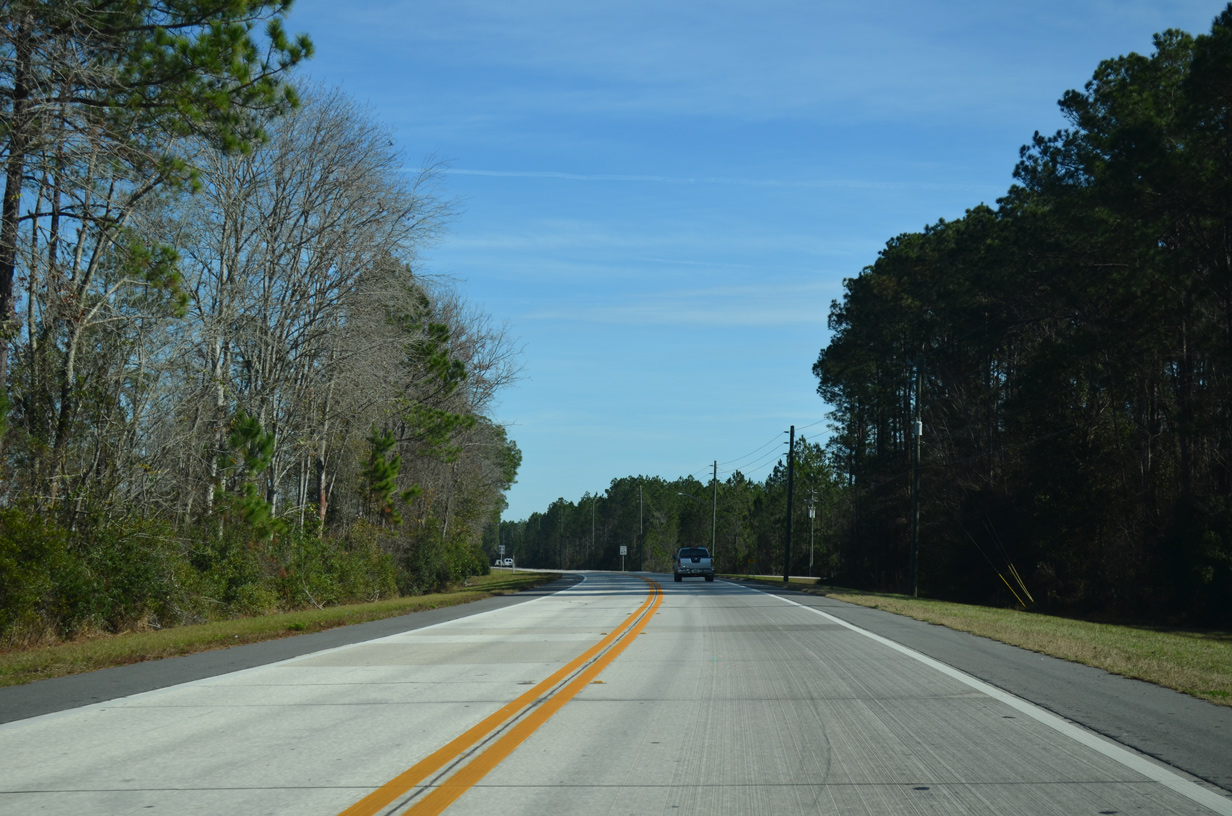
Traveling east from Maxville, SR 228 (Normandy Boulevard) runs along a two lane concrete roadway by wetland areas and Loblolly Park. The road was resurfaced in 2013.
12/30/13
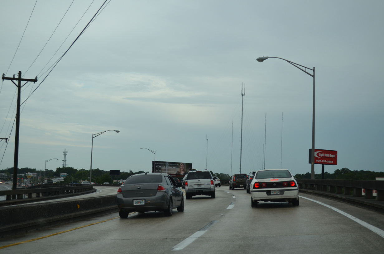
Reassurance marker posted east of the south leg of CR 217. Duval County does not post markers for County Roads.
12/31/17
Yellow Water Road doubles as CR 217 leading north 6.29 miles to U.S. 90 at Baldwin. This shield assembly appears after the rural intersection with SR 228 (Normandy Boulevard).
12/31/17
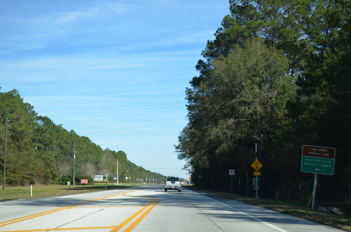
Normandy Boulevard bee lines northeast by the former Cecil Field U.S. Naval Air Station. Portions of the closed military base were repurposed as park and conservation land, including Taye Brown Regional Park and the Jacksonville Equestrian Center.
12/30/13
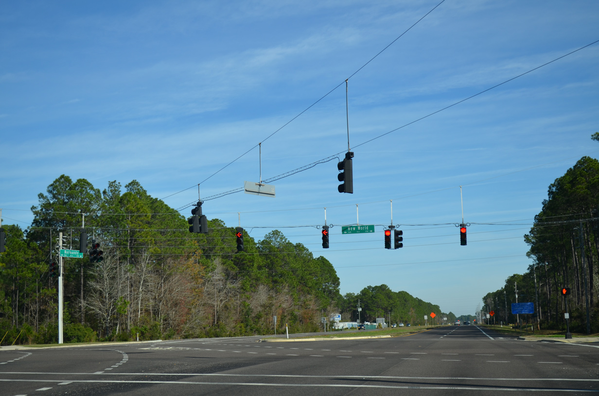
Continuing east, SR 228 (Normandy Boulevard) expands into a four lane arterial to SR 134 east and POW-MIA Memorial Parkway. POW-MIA Memorial Parkway extends south from SR 134 to Cecil Airport (VQQ) at the formal Naval Air Station.
12/30/13
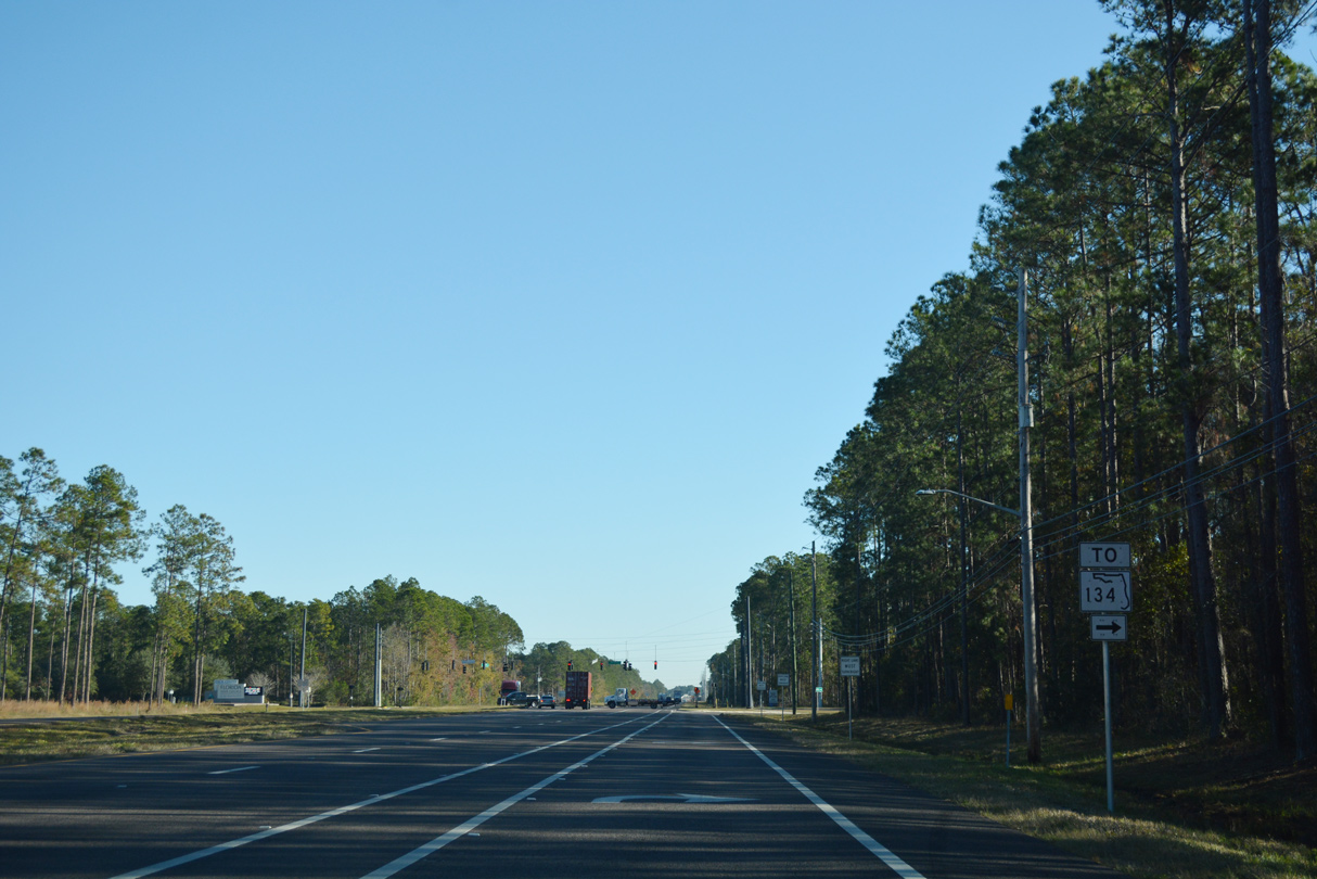
SR 134 used to split directly from Normandy Boulevard, but that connection was subsequently removed. SR 134 was realigned northward onto a 0.18 mile segment of POW-MIA Memorial Parkway to connect 103rd Street with SR 228.
12/31/17
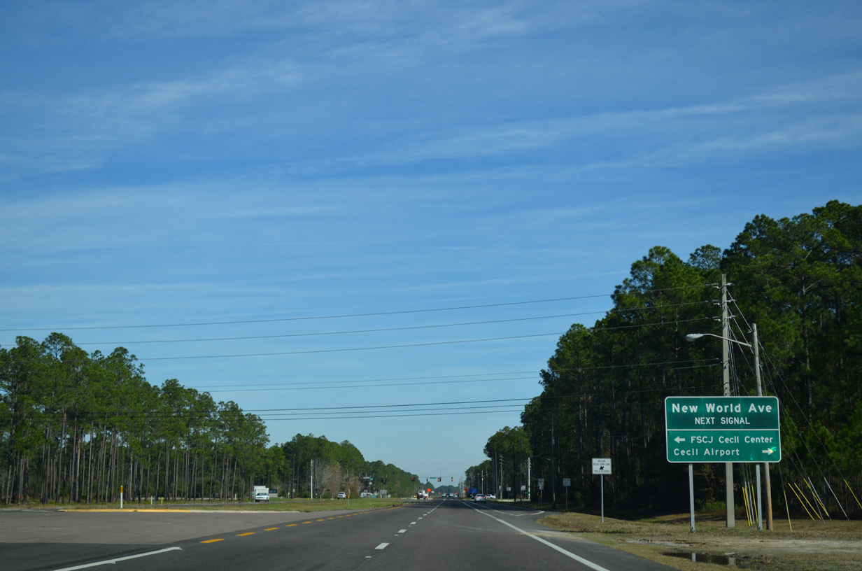
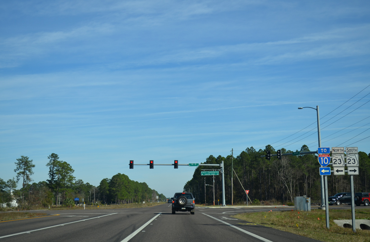
New World Avenue / POW-MIA Memorial Parkway was developed to connect Cecil Airport (VQQ) and the Cecil Commerce Center business park with SR 23, the tolled First Coast Expressway.
12/30/13

Cecil Commerce Parkway northwest from Chaffee Road was the initial aligment for SR 23 along the First Coast Expressway. The toll road was completed north to I-10 and south to SR 21 in Fall 2018.
12/30/13
The First Coast Expressway serves commuter interests from U.S. 90 (Beaver Street) and I-10 south to Middleburg and SR 21 in Clay County. Longer range construction extends the toll road southeast to I-95 in St. Johns County.
12/30/13
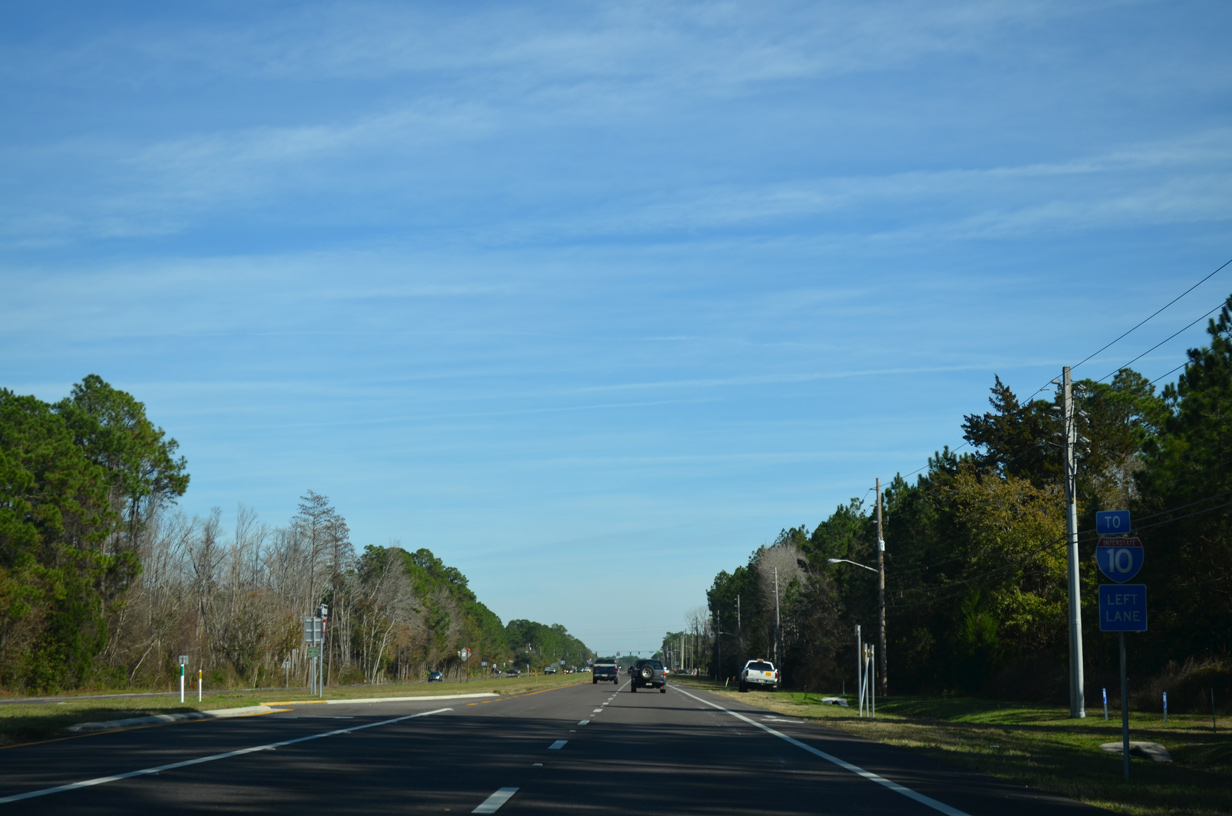
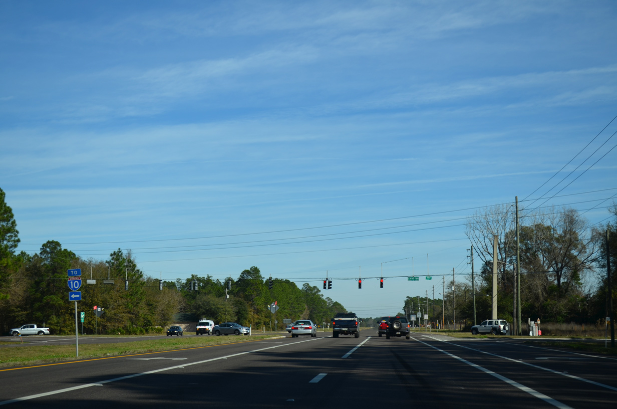
Prior to the opening of Cecil Commerce Parkway (SR 23) north, Chaffee Road (CR 115C) provided the lone link between Cecil Field and SR 228 with Interstate 10.
12/30/13
Chaffee Road (unsigned CR 115C) travels due north through the Jacksonville Farms / Terrace suburban area three miles to Interstate 10 at Whitehouse. The local road south was realigned southeast to SR 134 at Piper Glen Road due to construction of SR 23.
12/30/13
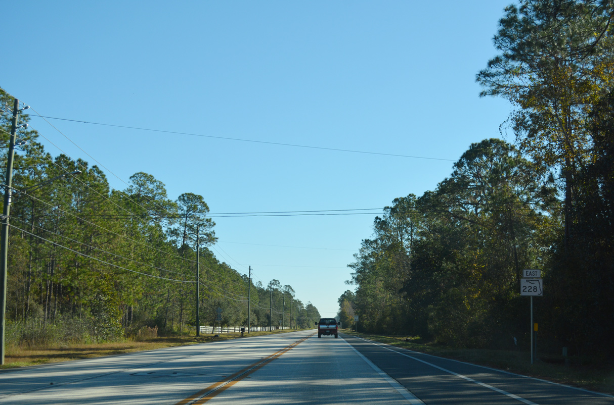
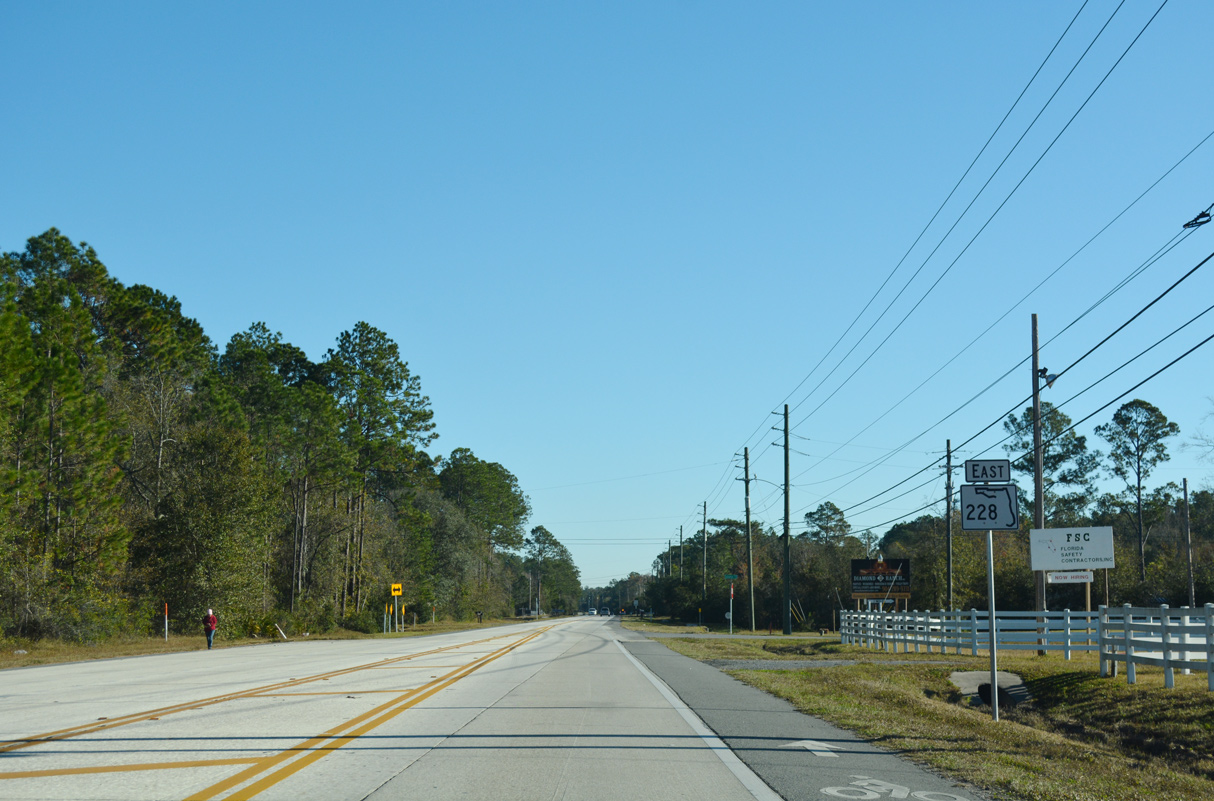
Confirming marker posted for SR 228 east as Normandy Boulevard heads toward the Brandywine Lakes subdivision and Caleb.
12/30/13
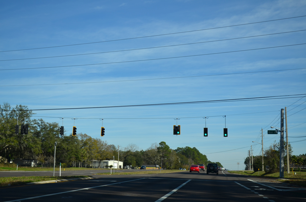
Eastbound SR 228 at the traffic light with Blair Road north to the Crystal Springs community.
12/30/13
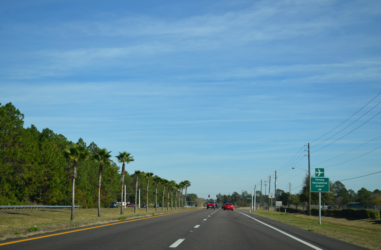
One of four public airports operated by the Jacksonville Aviation Authority (JAA), Herlong Recreational Airport (HEG) is located south of Normandy Boulevard.
12/30/13
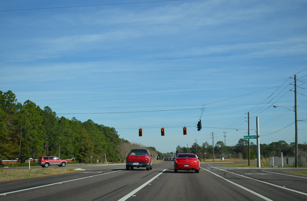
The signalized entrance to Herlong Recreational Airport ties into Guardian Drive, the lone entrance to the Pinecrest subdivision.
12/30/13
Herlong Road branches east from SR 228 to Hyde Grove ahead of this reassurance marker posted on Normandy Boulevard.
12/30/13
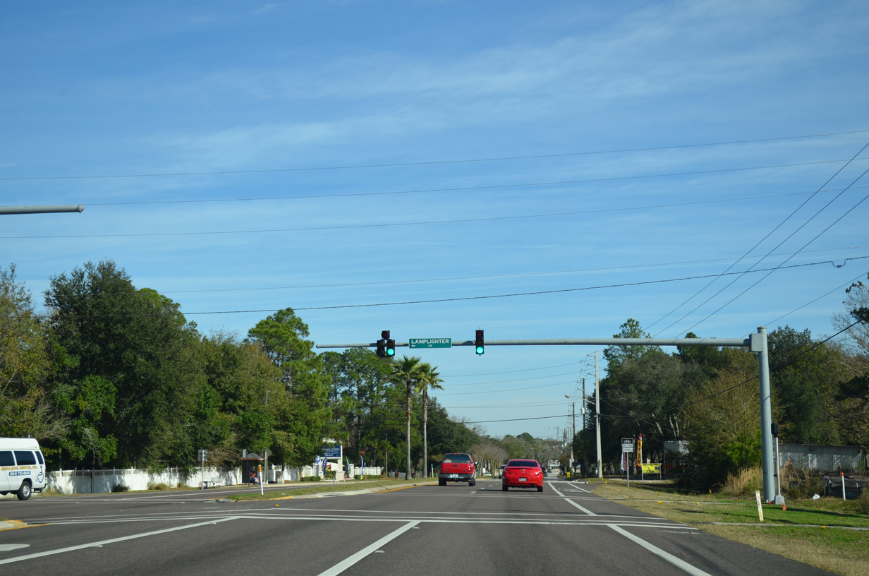
A traffic light operates at Lamplighter Lane, entrance road to the first of two mobile home parks in the Normandy Estates vicinity.
12/30/13
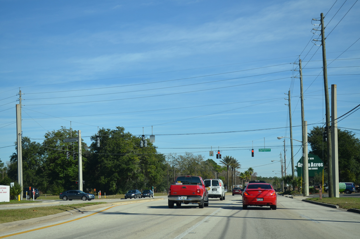
Hammond Boulevard heads north from SR 228 to Marietta, where an interchange opened in June 2016 directly connects it with Interstate 10.
12/30/13
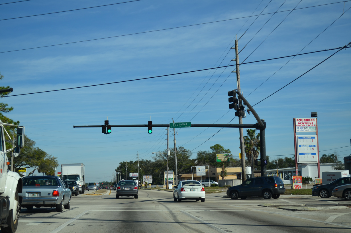
Fouraker Road parallels I-295 to the west from Old Middleburg Road (CR 213) north to U.S. 90. The residential road runs north through the Normandy Manor and Rolling Hills communities to Marietta.
12/30/13
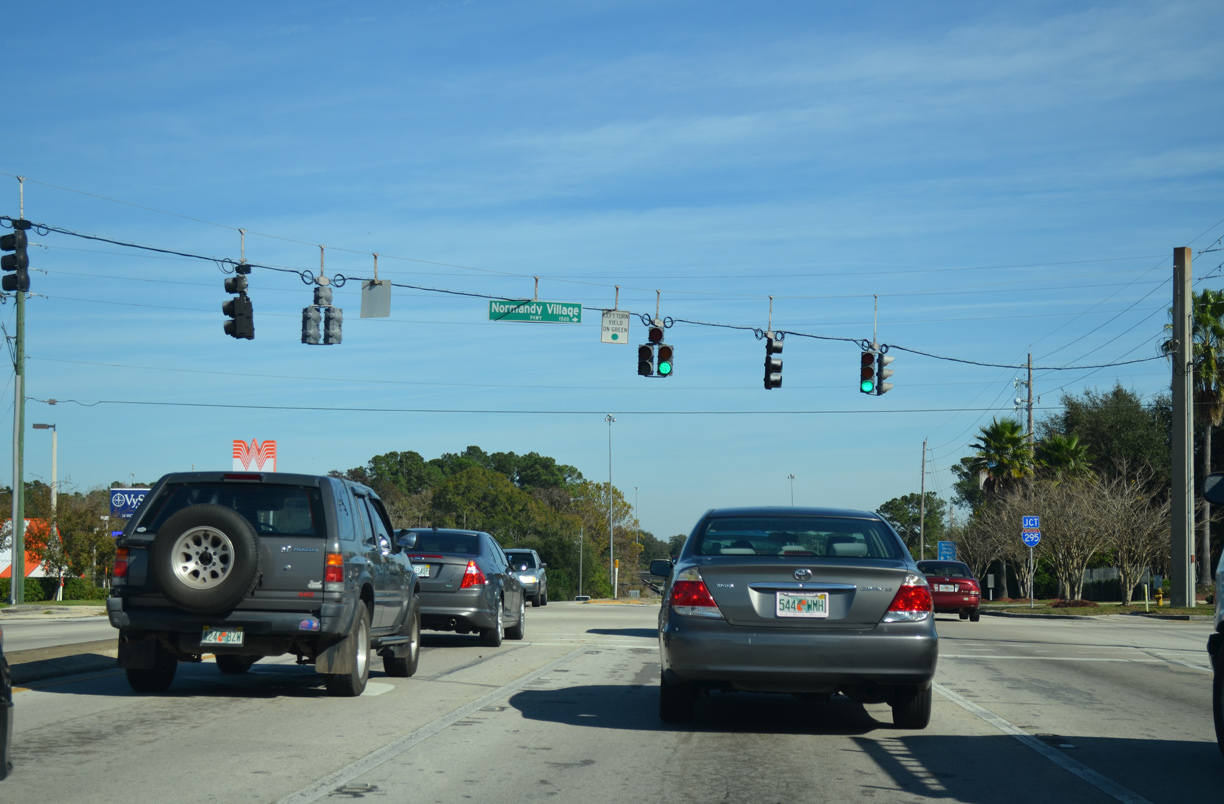
Several big box stores lines Normandy Boulevard between Fouraker Road and Interstate 295. Normandy Village Parkway winds south from Normandy Crossing shopping center and SR 228 to the Spring Branch subdivision.
12/30/13
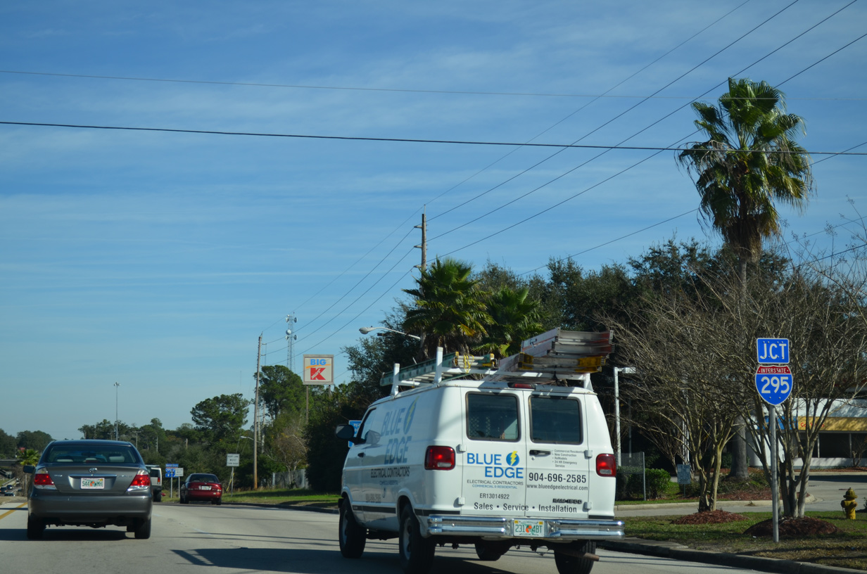
Normandy Boulevard east quickly enters the parclo interchange with I-295 beyond Normandy Village Parkway.
12/30/13
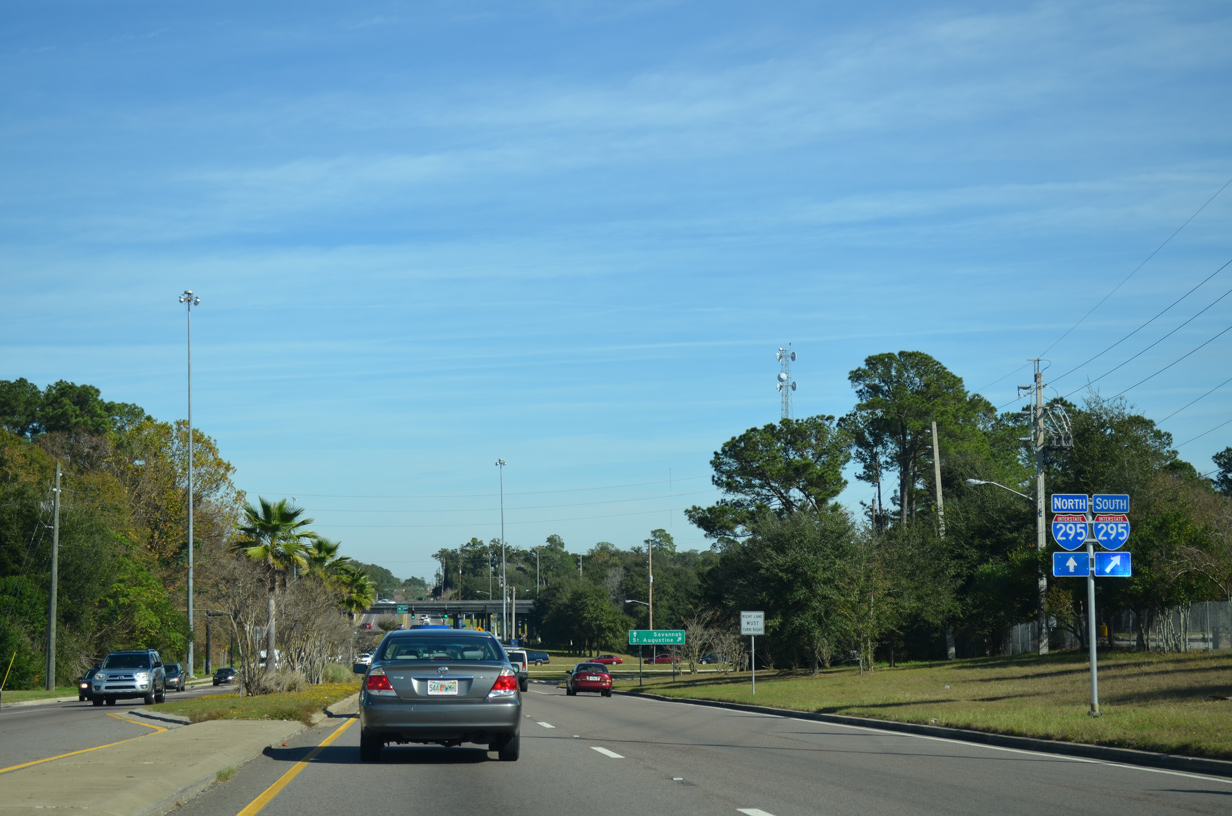
Interstate 295 winds south through older suburban areas including Hyde Park, Cedar Hills and Argyle Forest before turning east along the Clay County line by the town of Orange Park.
12/30/13
Older signs for I-295 reference St. Augustine as the control city in place of Daytona Beach for the connection with Interstate 95 south.
12/30/13
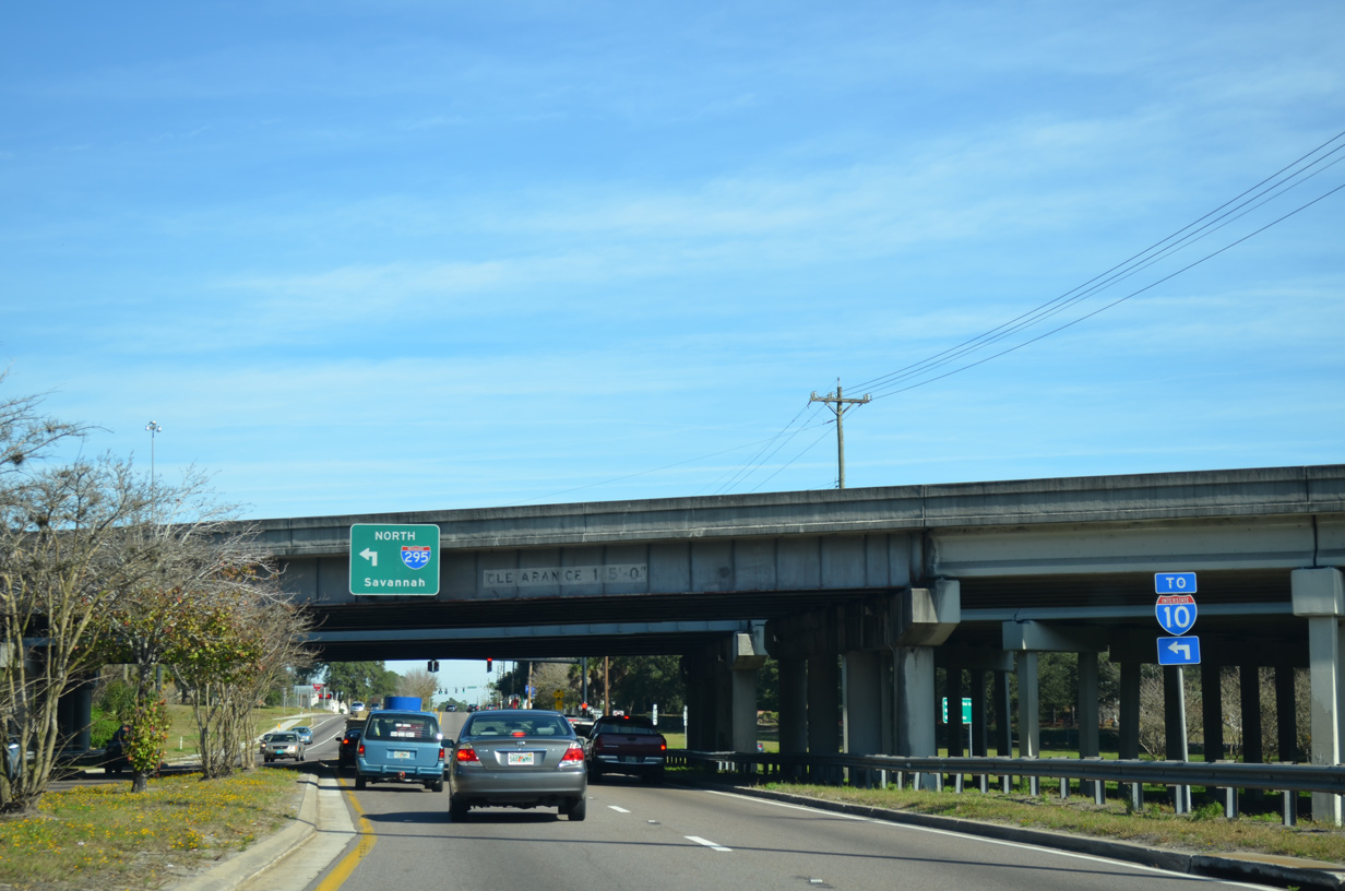
SR 228 (Normandy Boulevard) lowers to cross the culverted Wills Branch and below Interstate 295 ahead of the northbound entrance ramp to nearby Interstate 10.
12/30/13
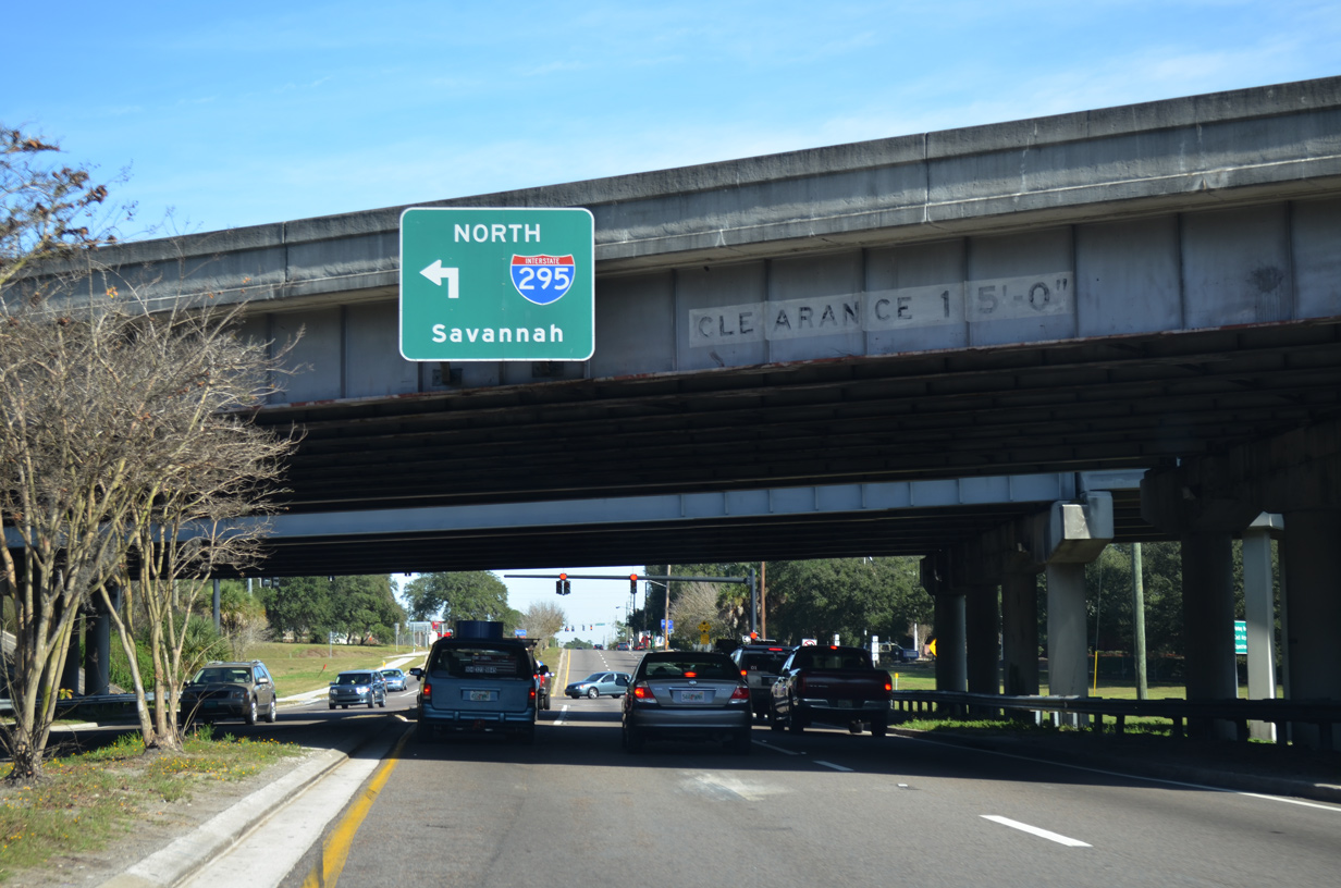
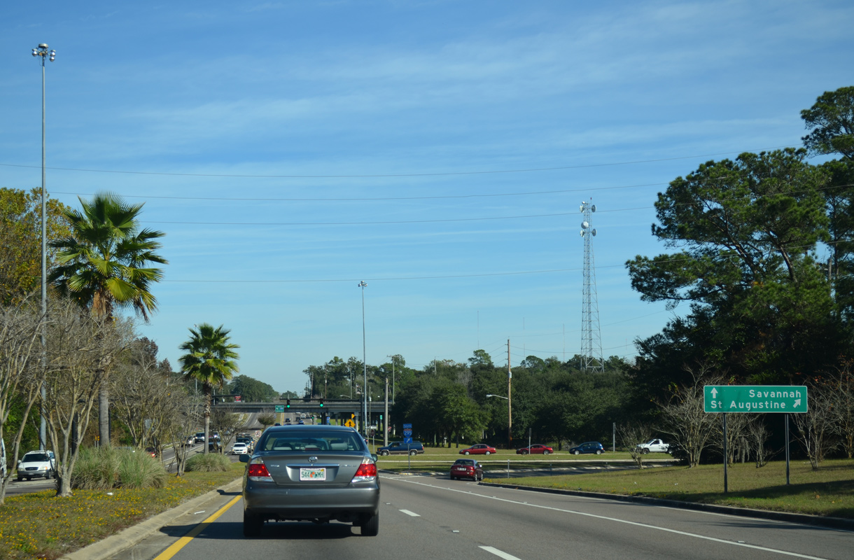
I-295 encircles northwest Jacksonville on the 15.7 mile drive to Interstate 95 north for Savannah.
12/30/13
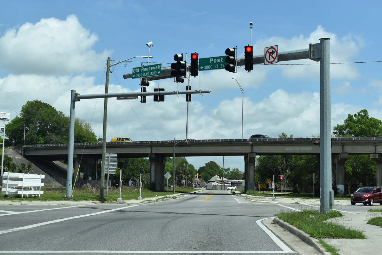
The state maintained portion of Post Street concludes just east of the SR 129 (McDuff Avenue) and Murray Hill at Old Roosevelt Boulevard. Prior to 2006, SR 228 extended another 1.636 miles east into the Riverside community alongside U.S. 17.
03/26/20
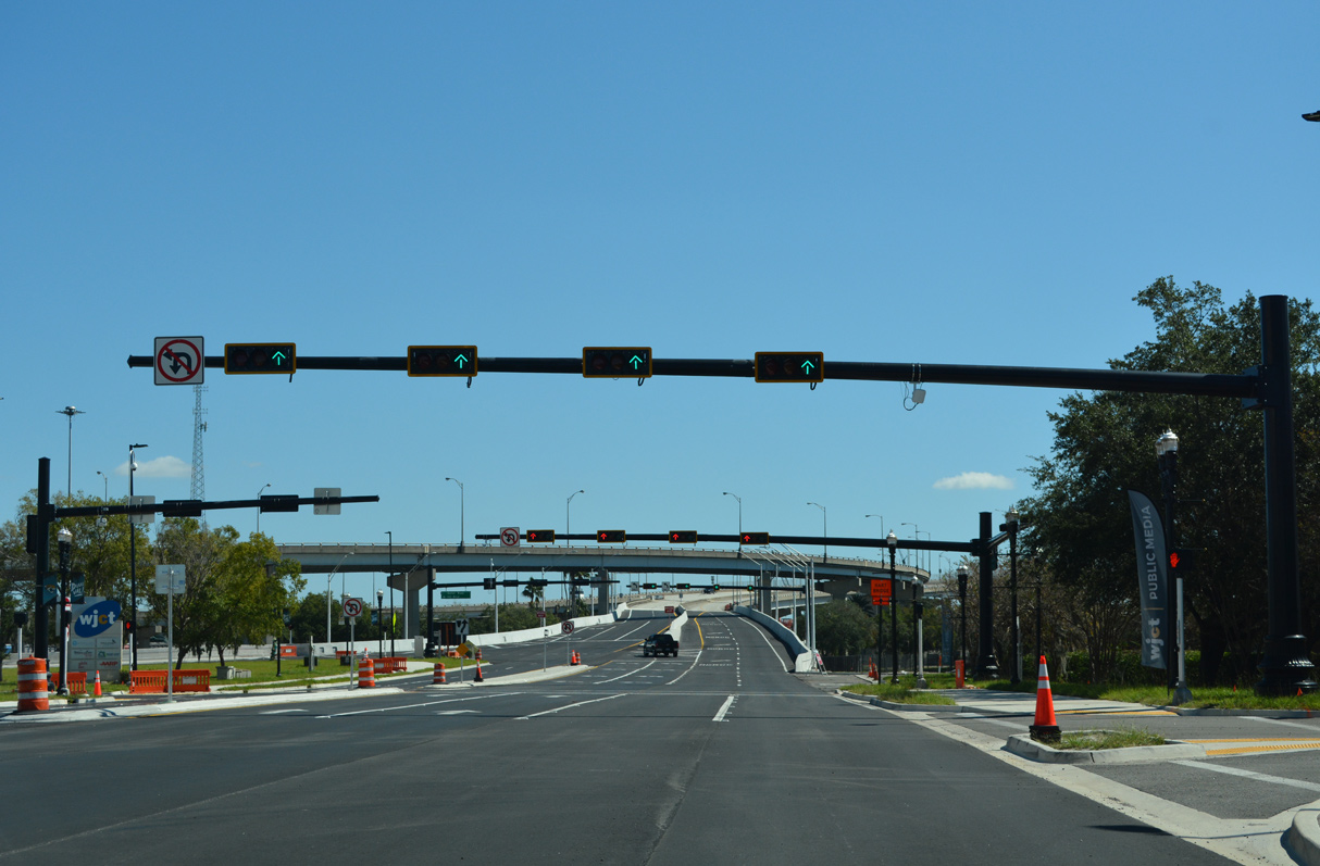
The flyover ramps linking Forsyth Street (SR 228) and Monroe Street east across Hogans Creek with Gator Bowl Boulevard tie into the four lane boulevard ahead of Daily's Place and Metropolitan Park.
10/16/22
A pedestrian signal operates between Metropolitan Park and Daily's Place, a concert and live event venue.
10/16/22
Gator Bowl Boulevard turns north along the east side of TIAA Bank Field beyond the signal with Festival Park Avenue.
10/16/22
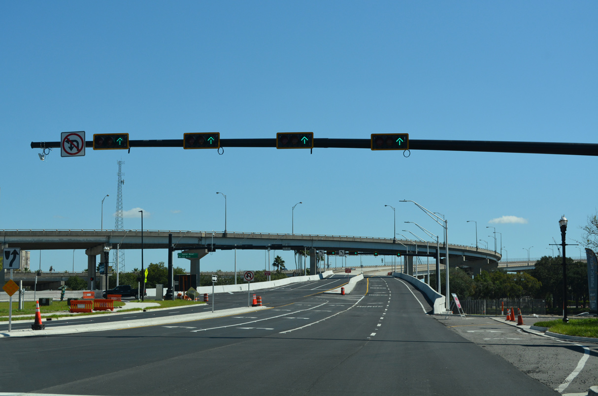
Two lanes ascend onto the Hart Bridge from Gator Bowl Boulevard. The ramp system is part of State Road 228.
10/16/22
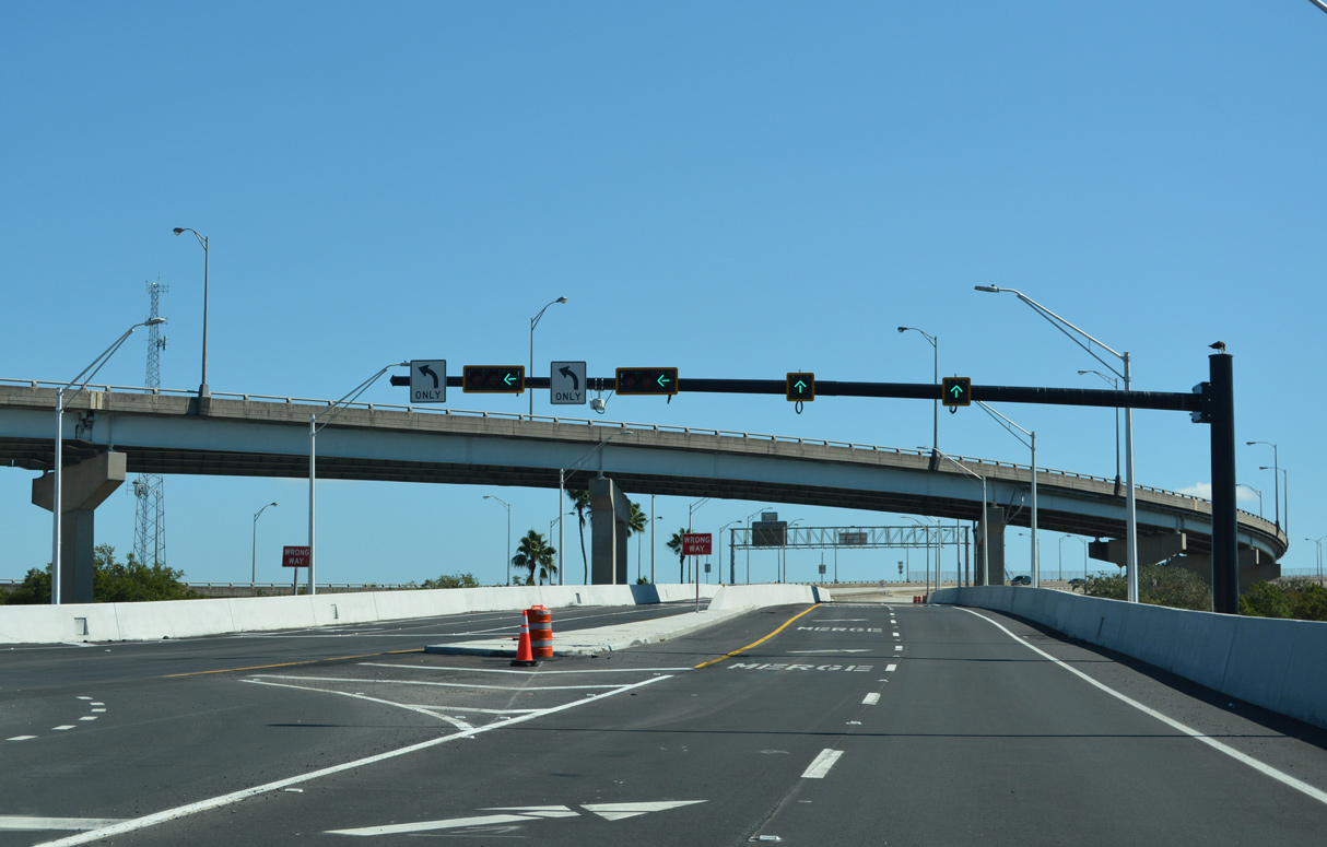
A lane drop occurs along SR 228 east onto the Hart Bridge (U.S. 1 ALT) southbound after Gator Bowl Boulevard turns north toward the exchange with SR 115 at MLK Parkway and the Mathews Bridge.
10/16/22
East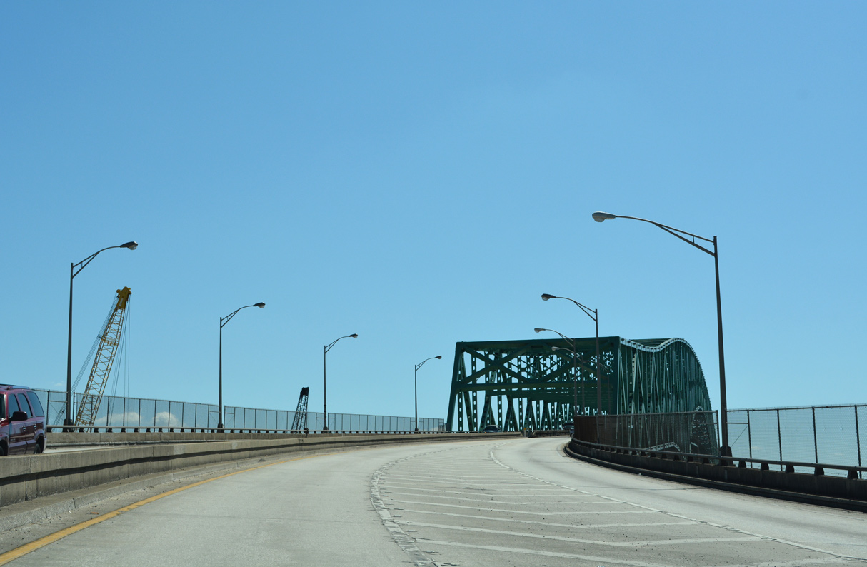
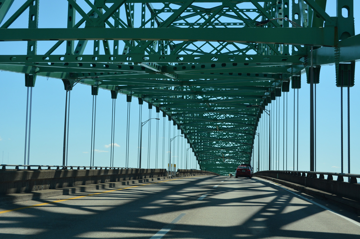
SR 228 combines with U.S. 1 ALT south over the Hart Bridge and Hart Bridge Expressway for 1.54 miles.
10/16/22
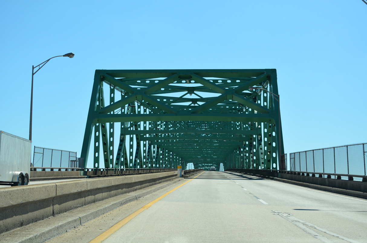
The Isaiah D. Hart Bridge is a continuous steel through truss bridge spanning the St. Johns River at a height of 141 feet.
10/16/22
The Hart Bridge opened to traffic in 1967 and was tolled until 1989.
10/16/22
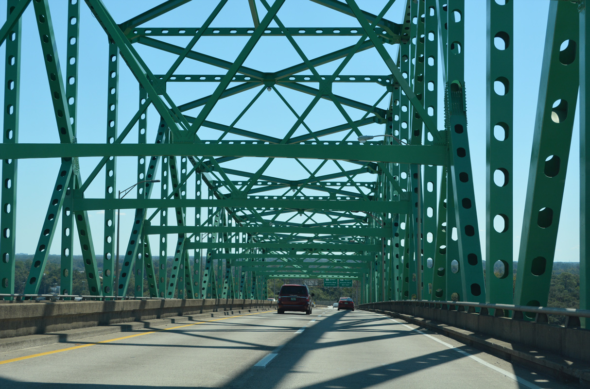
The Hart Bridge lowers into the Empire Point neighborhood east of Miller Creek.
10/16/22
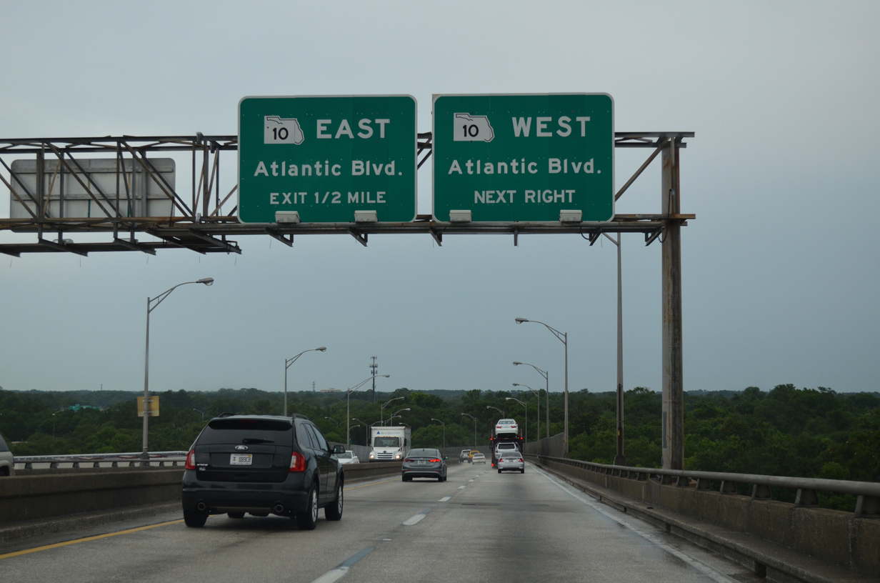
U.S. 1 ALT/SR 228 meet SR 10 (Atlantic Boulevard) at a parclo interchange just south of the Hart Bridge at the Empire Point and St. Nicholas neighborhoods.
06/16/16
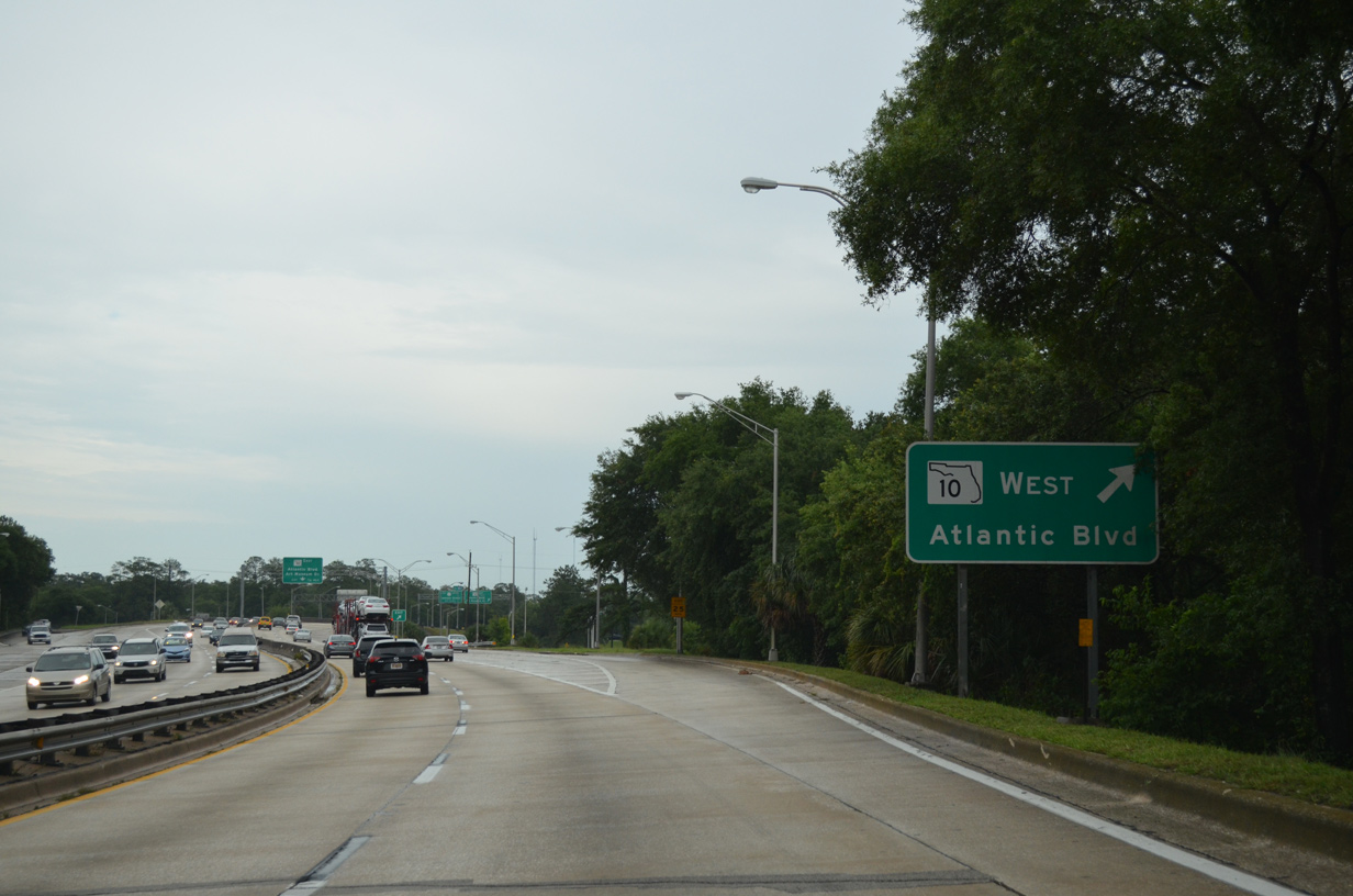
SR 10 along Atlantic Boulevard is also U.S. 90 ALT west to U.S. 90 (Beach Boulevard) and east to SR 115 (Southside Boulevard).
06/16/16
A loop ramp joins U.S. 1 ALT/SR 228 east with U.S. 90 ALT/SR 10 (Atlantic Boulevard) east to Oak Haven, Glynea/Grove Park and Woodland Acres in Jacksonville.
06/16/16
East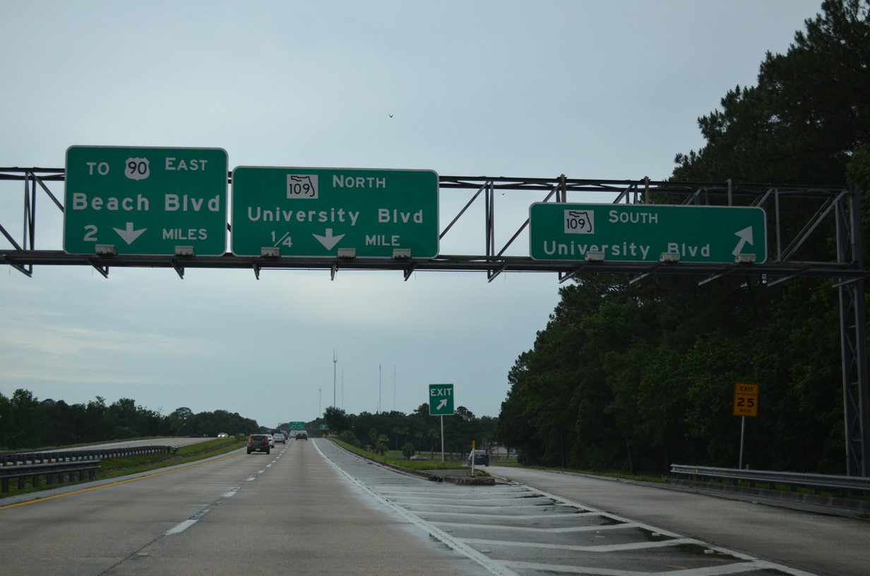
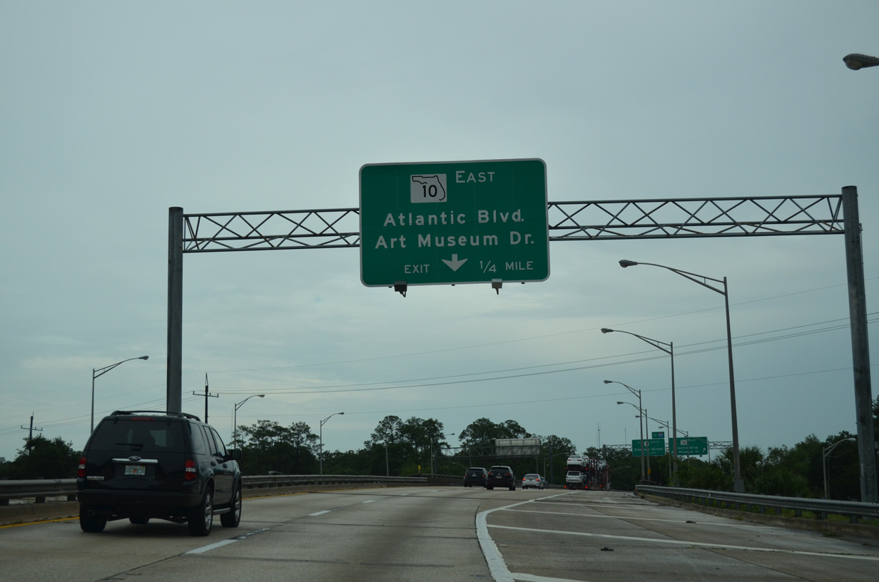
Entering the six-ramp parclo interchange with SR 109 (University Boulevard) on SR 228 (Commodore Point Expressway) east. SR 109 follows University Boulevard south to Sans Souci and west to Lakewood. The state road ends at SR 13 in 4.3 miles.
06/16/16

A loop ramp follows onto SR 109 (University Boulevard) north to the Spring Glen community. University Boulevard crosses the Arlington River in 1.7 miles. A northern segment of SR 109 runs from SR 115 to Jacksonville University.
06/16/16
The final 1.3 miles of unsigned SR 228 leads directly to U.S. 90 (Beach Boulevard) east at the Hogan community.
06/16/16
A wye interchange drops motorists onto the inside lanes of U.S. 90 (Beach Boulevard) just west of the traffic light with Parental Home Road. No signs are posted for the end of SR 228 or transition to U.S. 90.
06/16/16
Photo Credits:
- ABRoads: 06/16/16, 12/13/17, 12/31/17, 03/26/20
- Alex Nitzman: 12/30/13, 10/16/22
Connect with:
Page Updated Thursday October 20, 2022.