
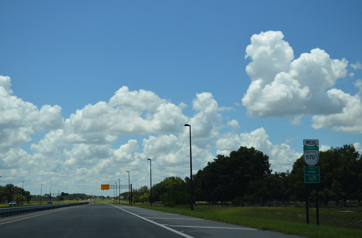
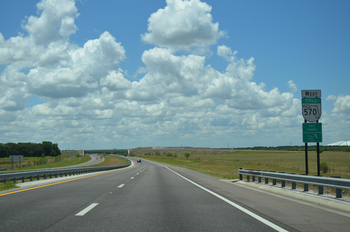
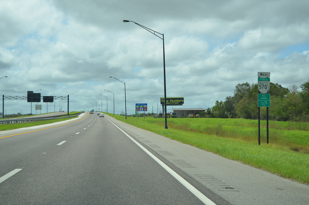
State Road 570 West - Polk Parkway

 West
West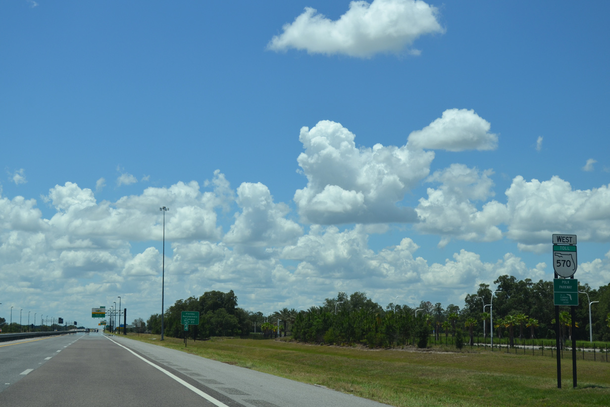
SR 570 leaves Interstate 4 along a 25 mile course south and west around Lakeland, returning to I-4 near the Hillsborough County line.
05/31/15
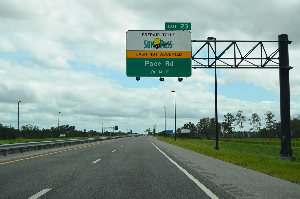
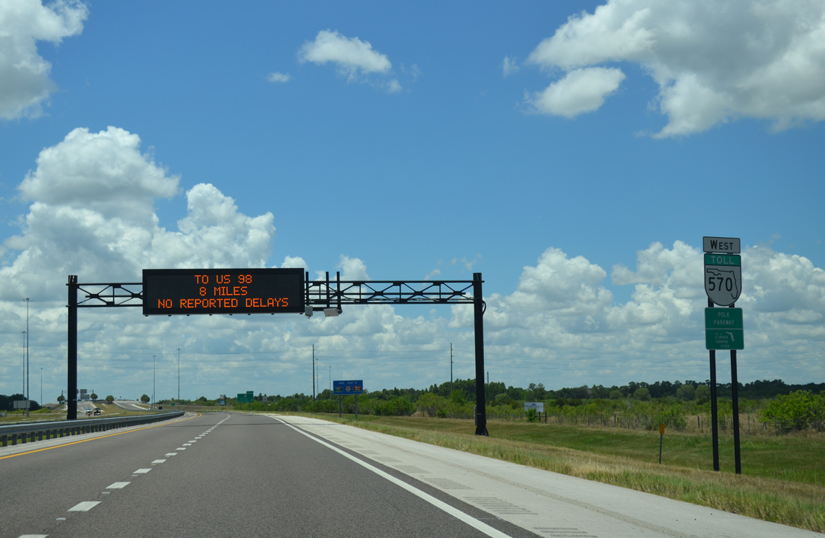
Drivers approach an interchange with Pace Road (Exit 23) in one half mile. Opened in November 2011, the SunPass only exit serves nearby Florida Polytechnic University.
09/11/17

Pace Road stems east from SR 570 as a four lane arterial to Berkley Road while University Boulevard continues west bypassing Florida Polytechnic University to its south.
09/11/17
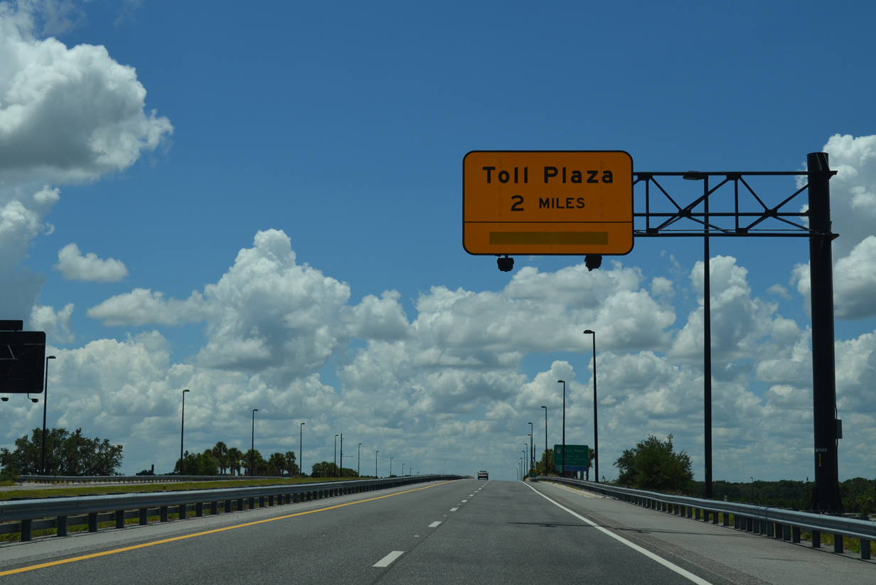
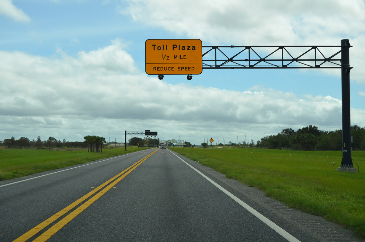
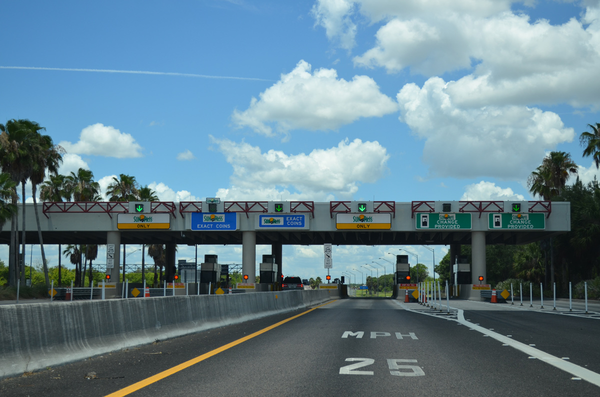
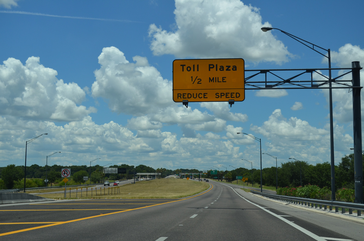
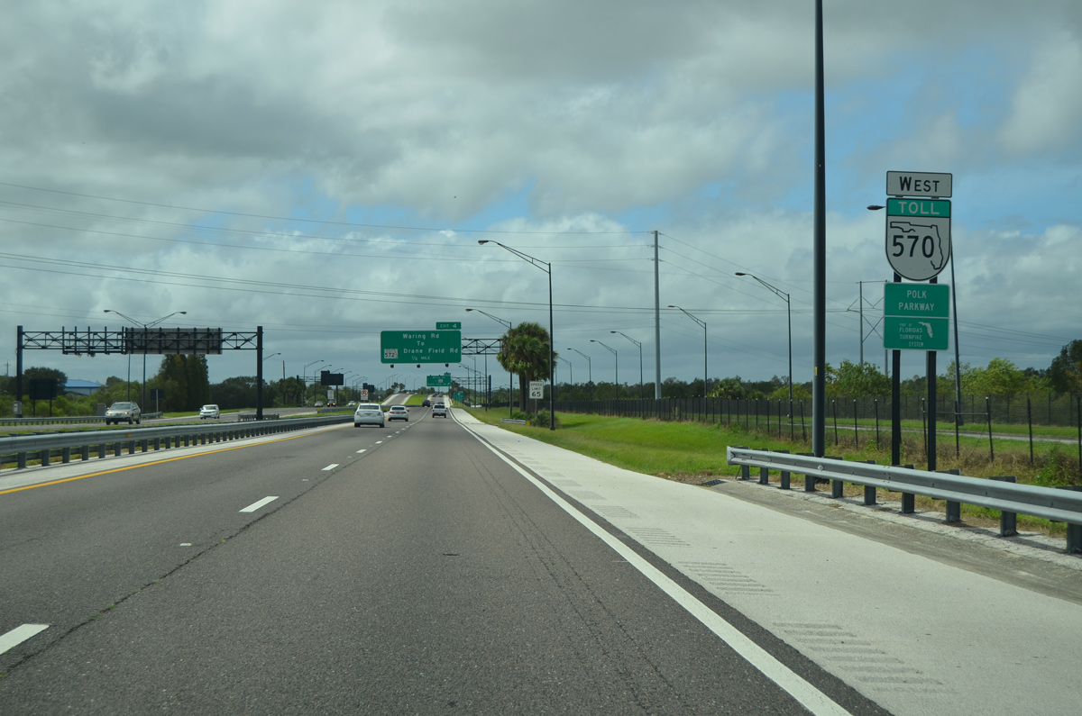
Motorists along SR 570 west encounter the first of three toll plazas in two miles.
05/31/15

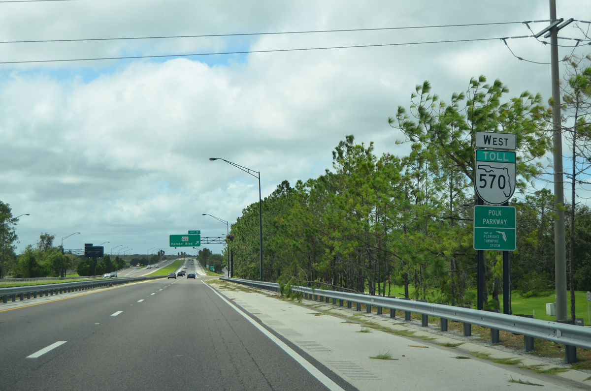
Completed by the end of 1999, the entire length of the Polk Parkway is a part of the 454 mile Florida Turnpike system.
05/31/15
South of Pace Road (Exit 23), SR 570 reduces to a two lane segment to Old Dixie Highway (Exit 18). A stub remains in place for the eventual expansion of the westbound lanes.
05/31/15
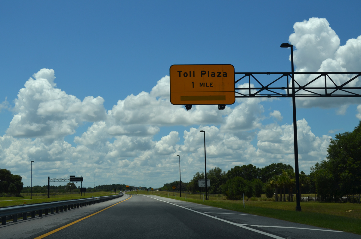
Open fields line the Polk Parkway on the 0.5 mile approach to the Eastern toll plaza. Right of way is already acquired for the eventual expansion of the parkway to four lanes.
09/11/17
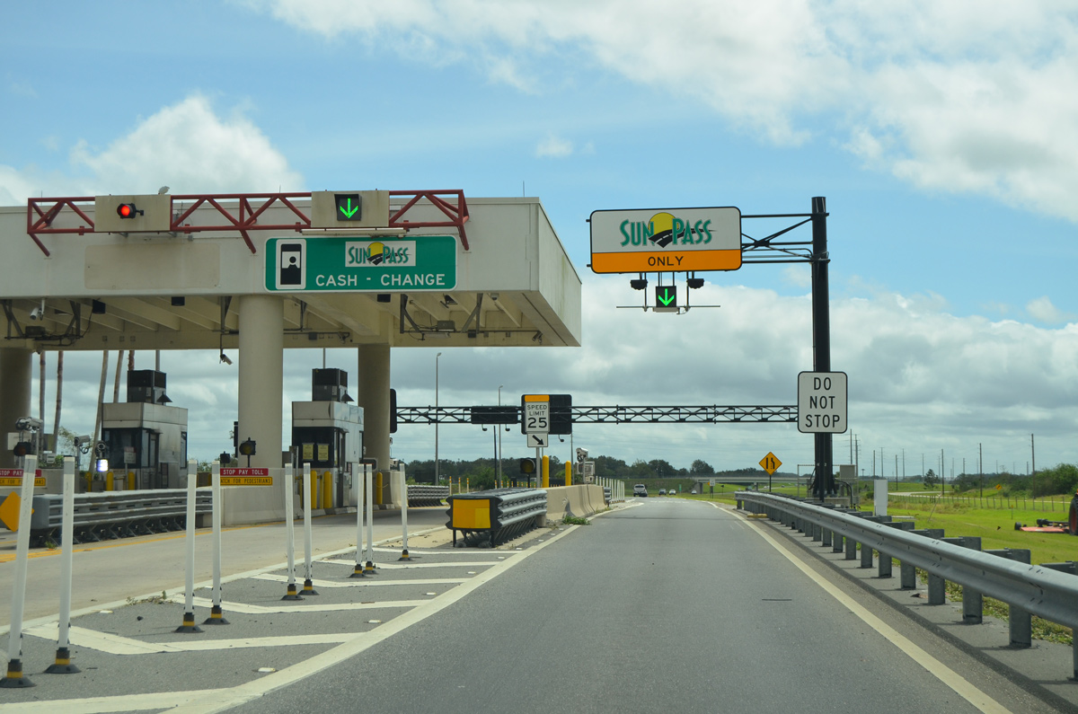
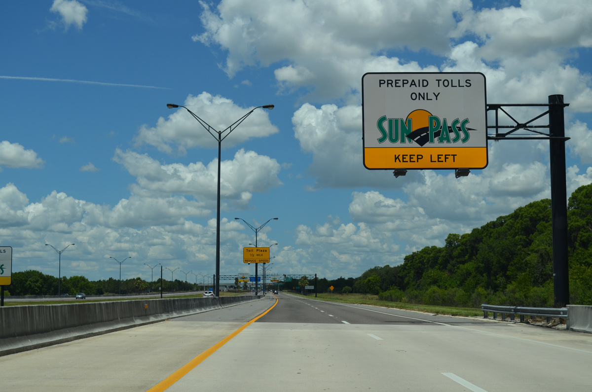
In addition to the use of SunPass transponders, cash tolls are also collected at the mainline toll plaza.
09/11/17
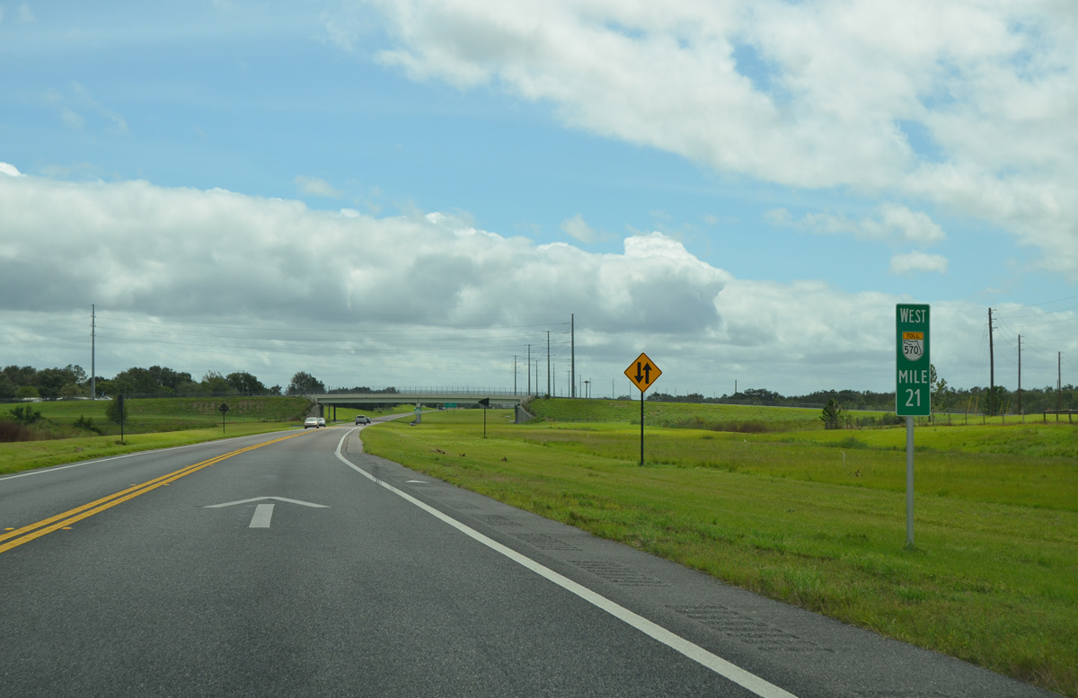
Leaving the Eastern toll plaza near mile marker 21, SR 570 prepares to cross under Braddock Road.
09/11/17
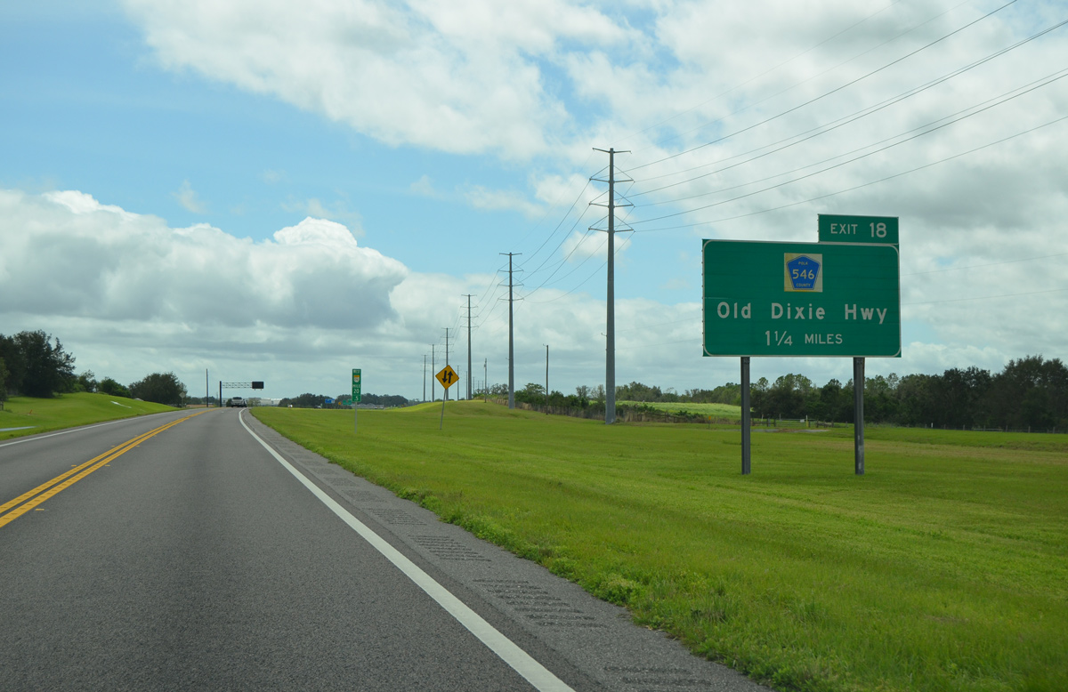
Polk Parkway enters a long sweeping curve ahead of Exit 18 for Polk County Road 546 (Old Dixie Highway).
09/11/17
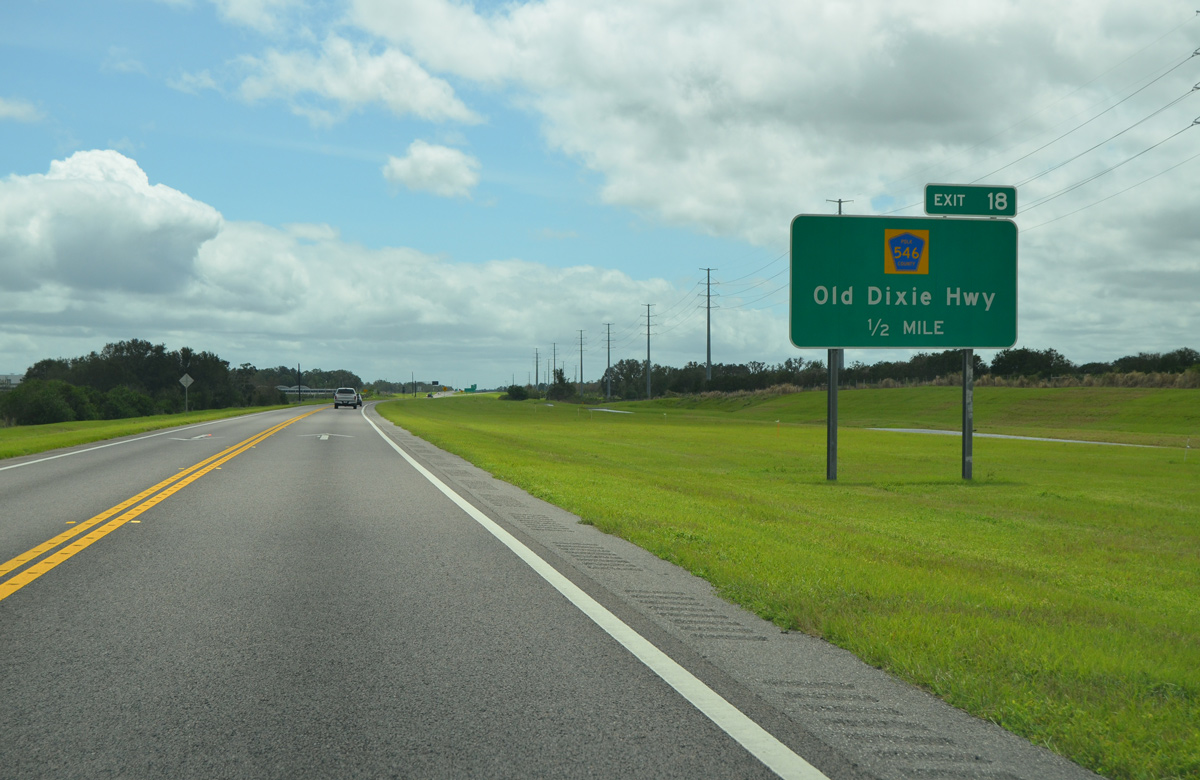
Old Dixie Highway connects SR 570 at Exit 18 with Saddle Creek Road to the west and with Berkley Road to the east. CR 546 generally follows Old Dixie Highway and Saddle Creek Road west to SR 659 (Combee Road).
09/11/17
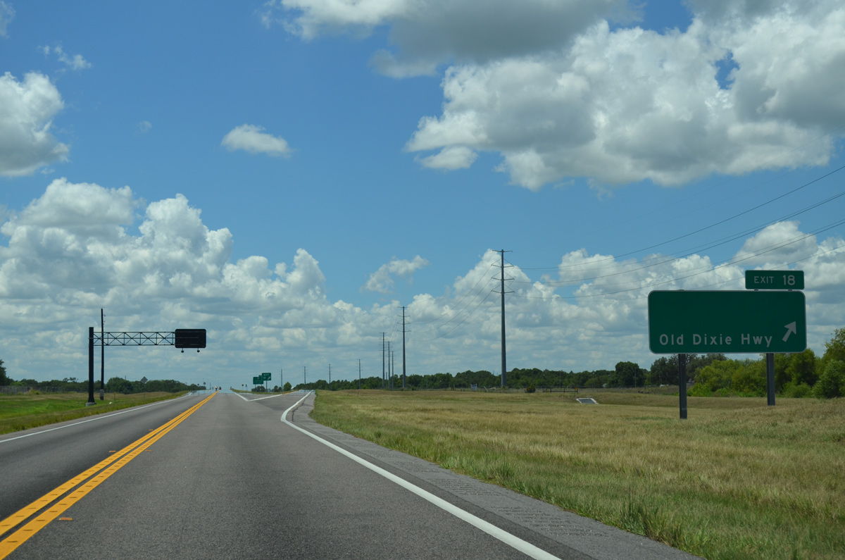
SR 570 (Polk Parkway) west reaches the diamond interchange with Polk County Road 546 (Old Dixie Highway). The right of way remains wide at this point for an eventual widening of the Polk Parkway.
05/31/15
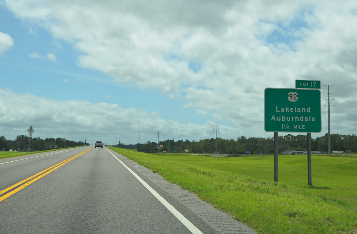
1.25 miles out from U.S. 92 (Exit 17) the Polk Parkway (SR 570) spans over Old Dixie Highway. Locally U.S. 92 connects SR 570 with Lakeland to its west and Auburndale to its east.
09/11/17
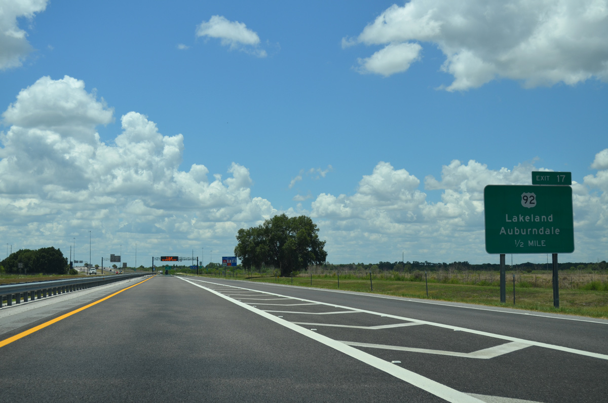
On the half mile approach to Exit 17, SR 570 widens back to a four lane expressway and will retain this status to its end.
05/31/15
A confirming marker stands on the shoulder of the Polk Parkway beyond the entrance ramp from Old Dixie Highway (Exit 17).
05/31/15
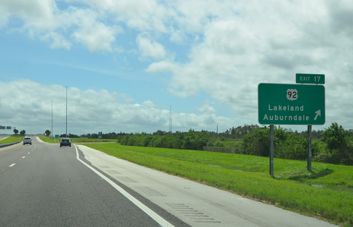
Motorists leave SR 570 west for the folded diamond exchange with U.S. 92 (Exit 17) to Auburndale and Lakeland. Overall, U.S. 92 travels between the St. Peterburg-Tampa area on a northeast course through central Florida to Daytona Beach.
09/11/17
SR 570 continues on a southerly trajectory beyond U.S. 92, passing to the east of the Polk County landfill.
05/31/15
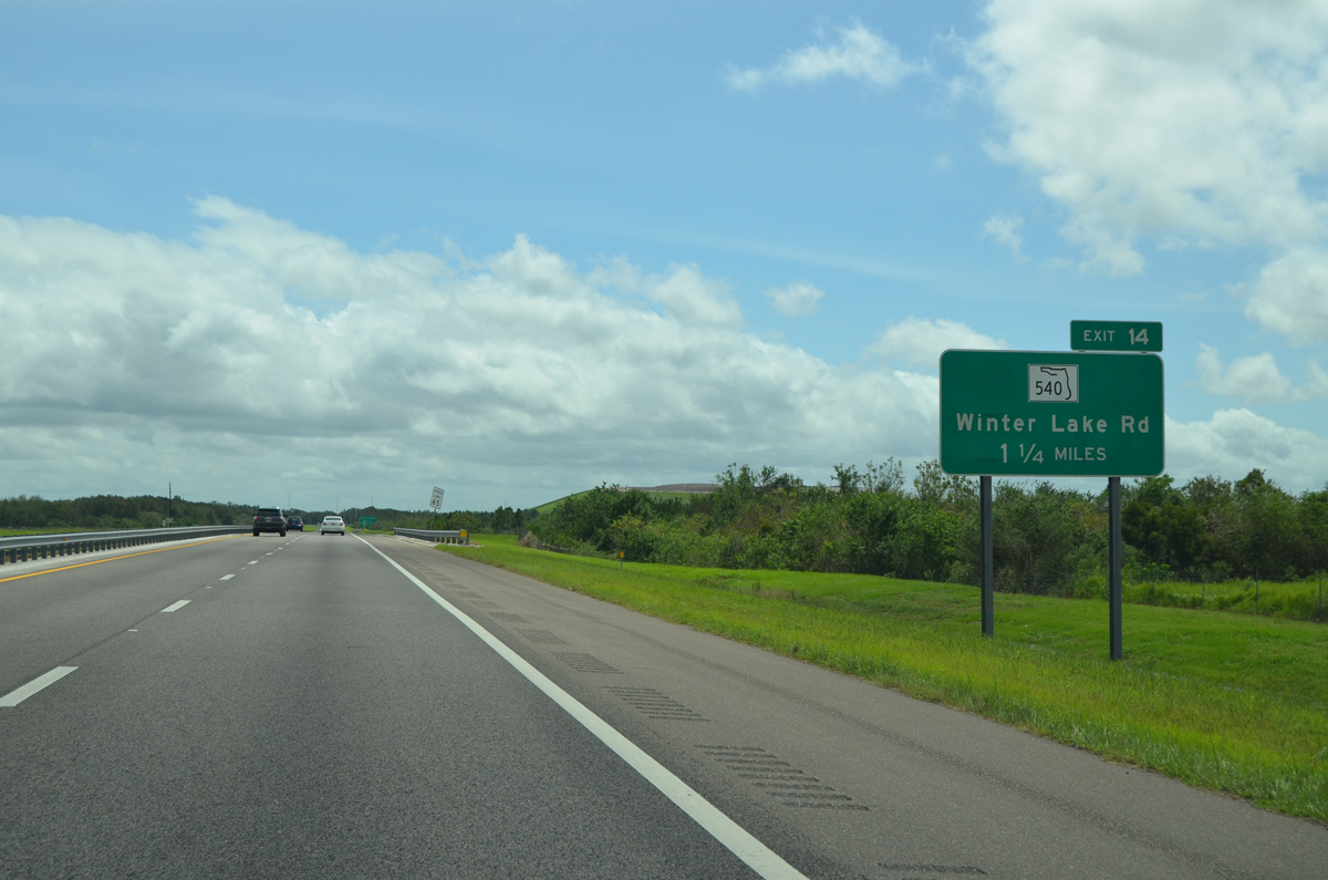
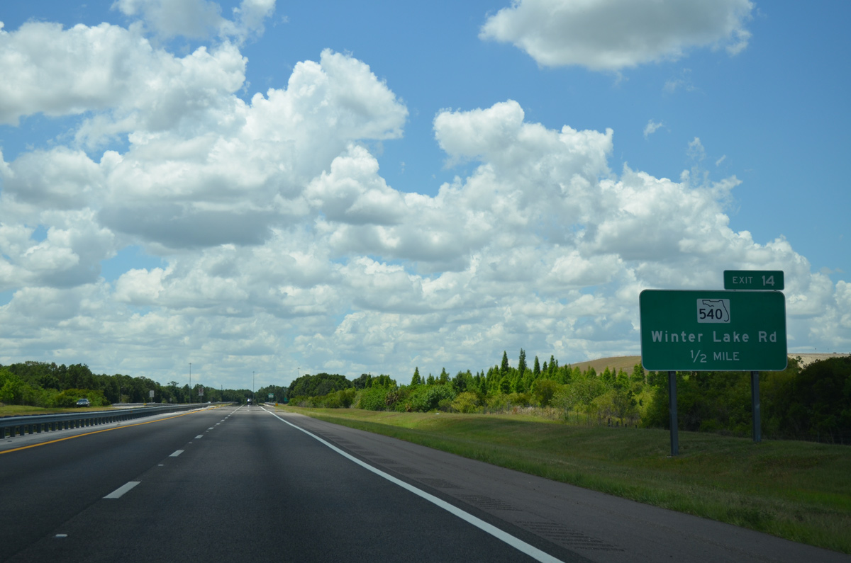
Beyond the K-ville Avenue underpass, the Polk Parkway comes to within 1.25 miles of a wye interchange (Exit 14) with SR 540 (Winter Lake Road) to south Lakeland and Eagle Ridge.
09/11/17
SR 540 generally travels along Winter Lake Road between its western end at U.S. 98 in the southern reaches of Lakeland and U.S. 17 in Eagle Ridge. A second segment of SR 540 links Winter Haven with the Legoland theme park and Waverly.
05/31/15
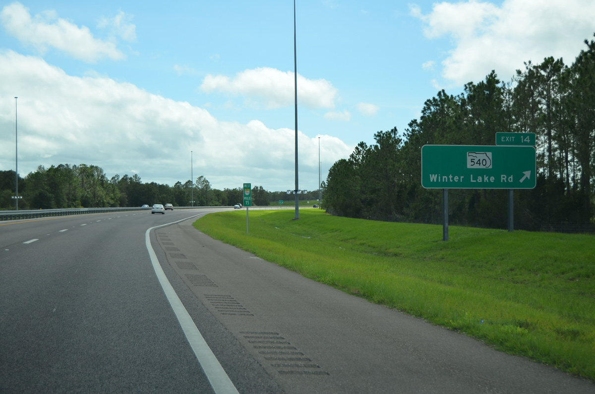
Drivers prepare to depart for SR 540 (Exit 14) to Eagle Ridge and Winter Haven as SR 570 (Polk Parkway) arcs to its western component.
09/11/17
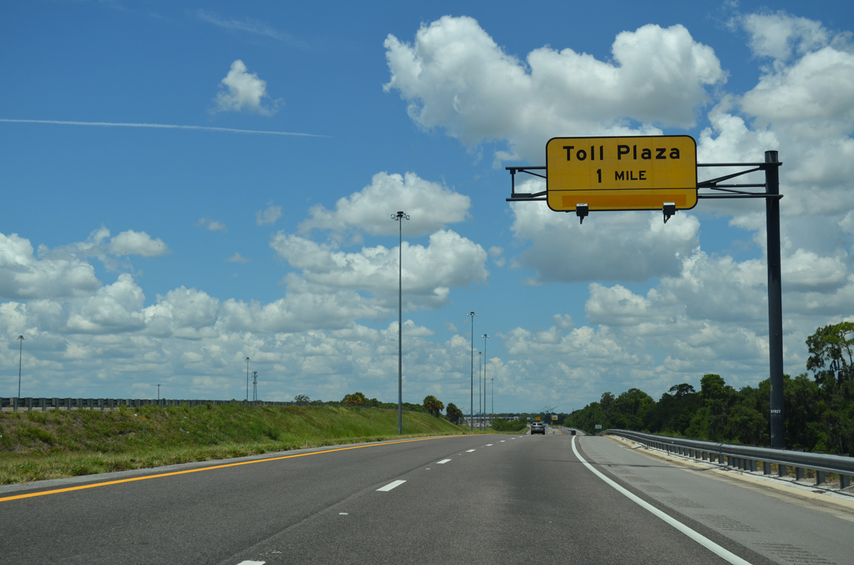
Now traveling west, SR 570 next approaches the Central toll plaza in one mile.
05/31/15
Traffic from State Road 540 joins westbound Polk Parkway via a left ramp but remains separated to a point beyond the upcoming toll plaza.
05/31/15
The Central toll plaza is the widest facility along SR 570 (Polk Parkway) at 12 lanes across.
05/31/15
Twelve miles out from a return to Interstate 4, the Polk Parkway spans Pavers Road on its approach to U.S. 98 (Exit 10).
09/11/17
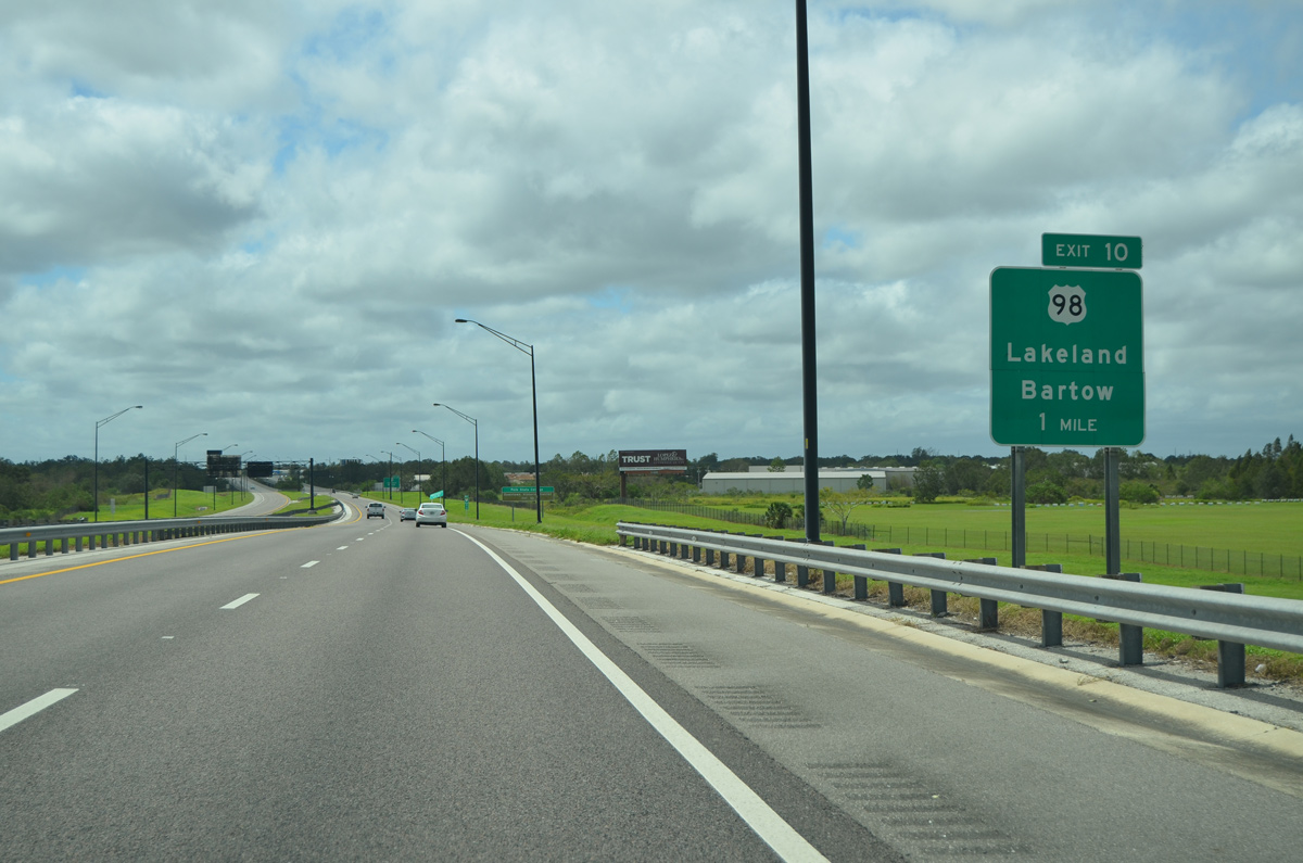
Meeting SR 570 in one mile, Bartow Road represents a major thoroughfare that carries U.S. 98 between Lakeland to the northwest and Bartow to the southeast.
09/11/17
U.S. 98 is the longest U.S. highway in Florida stretching 671 miles through the panhandle and peninsula. The route is signed east-west for its duration through the panhandle while generally signed north-south for its remaining course through the state.
05/31/15
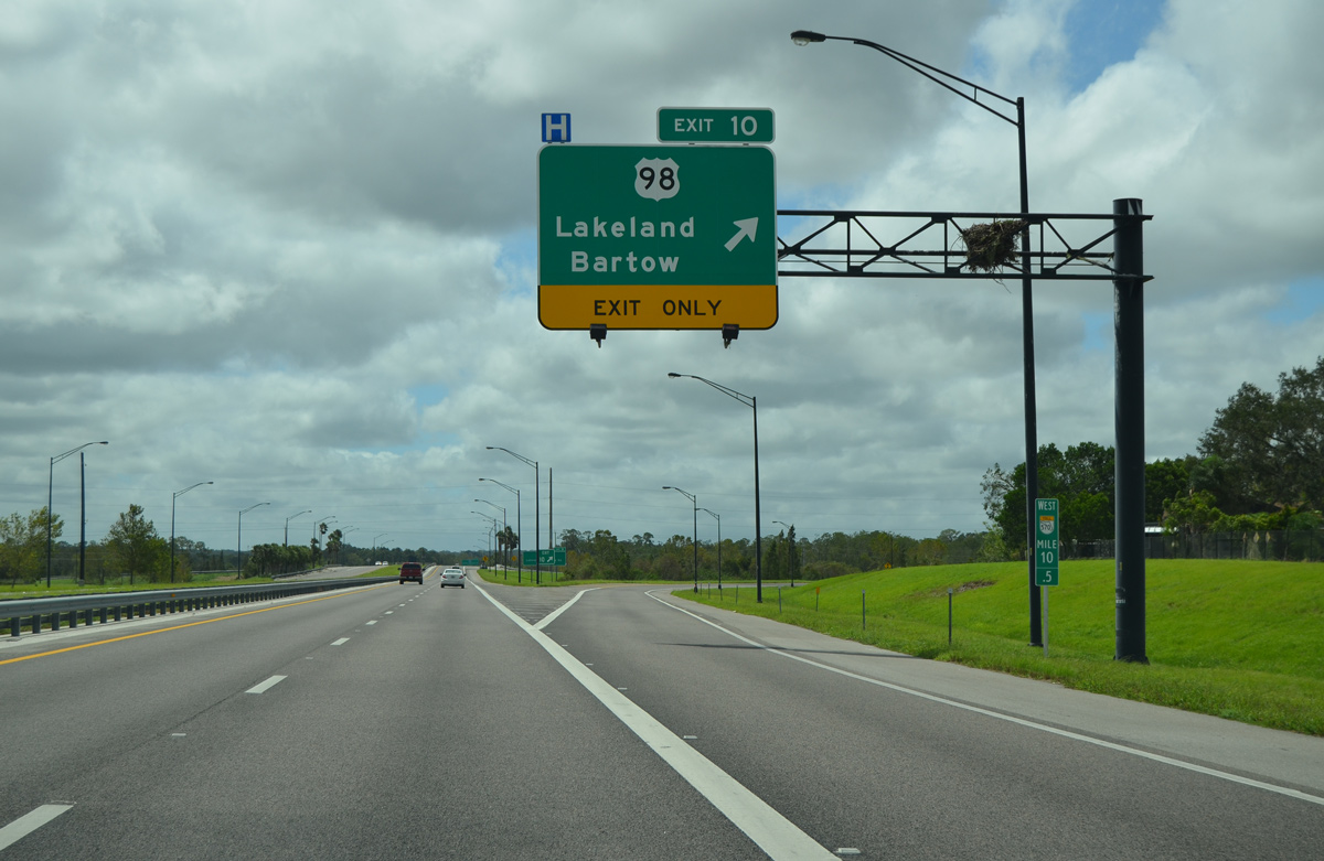
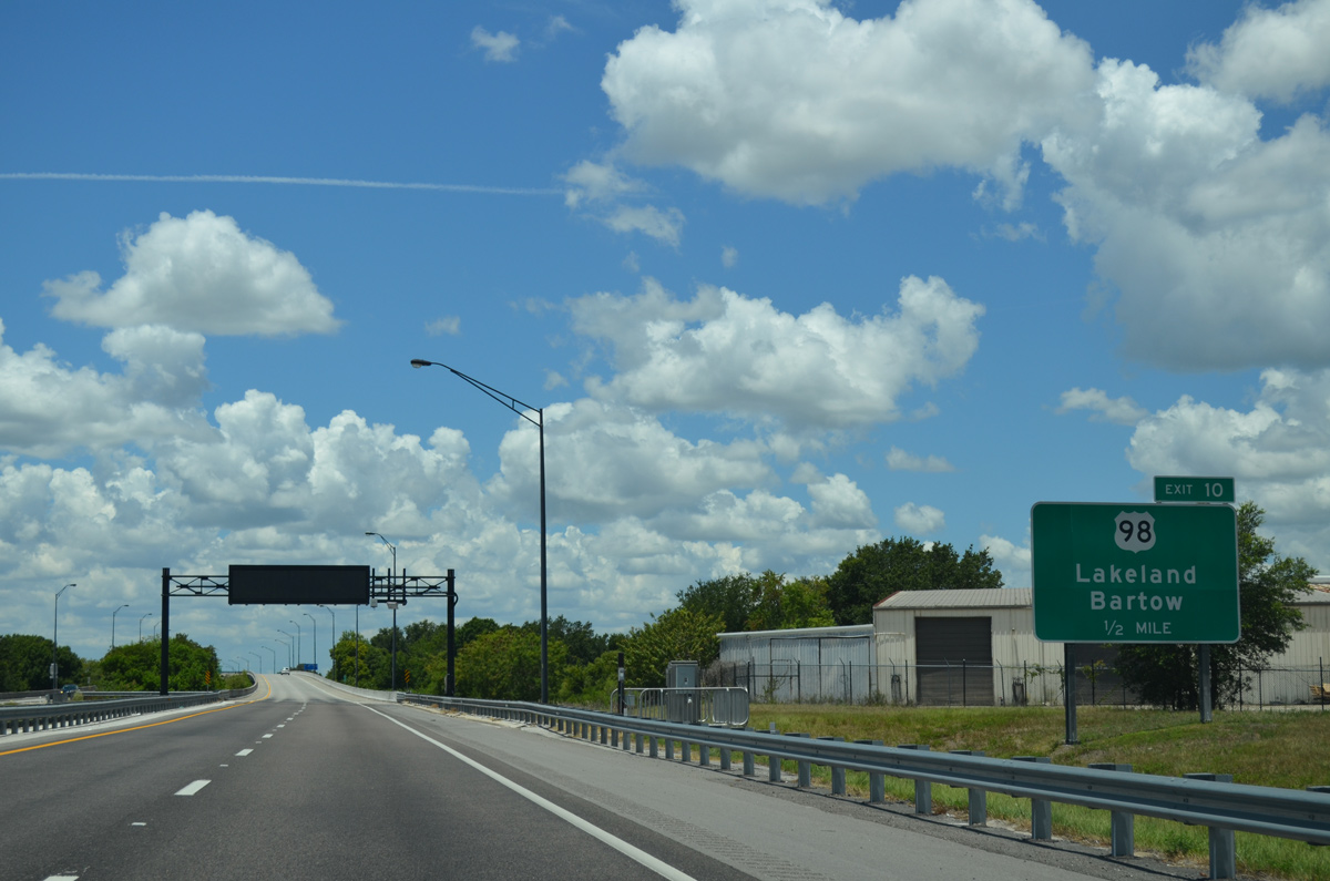
A ramp departs for Exit 10 to U.S. 98 (Bartow Road) along SR 570 west. Both Southeastern University and Polk State College campuses reside along the corridor.
09/11/17

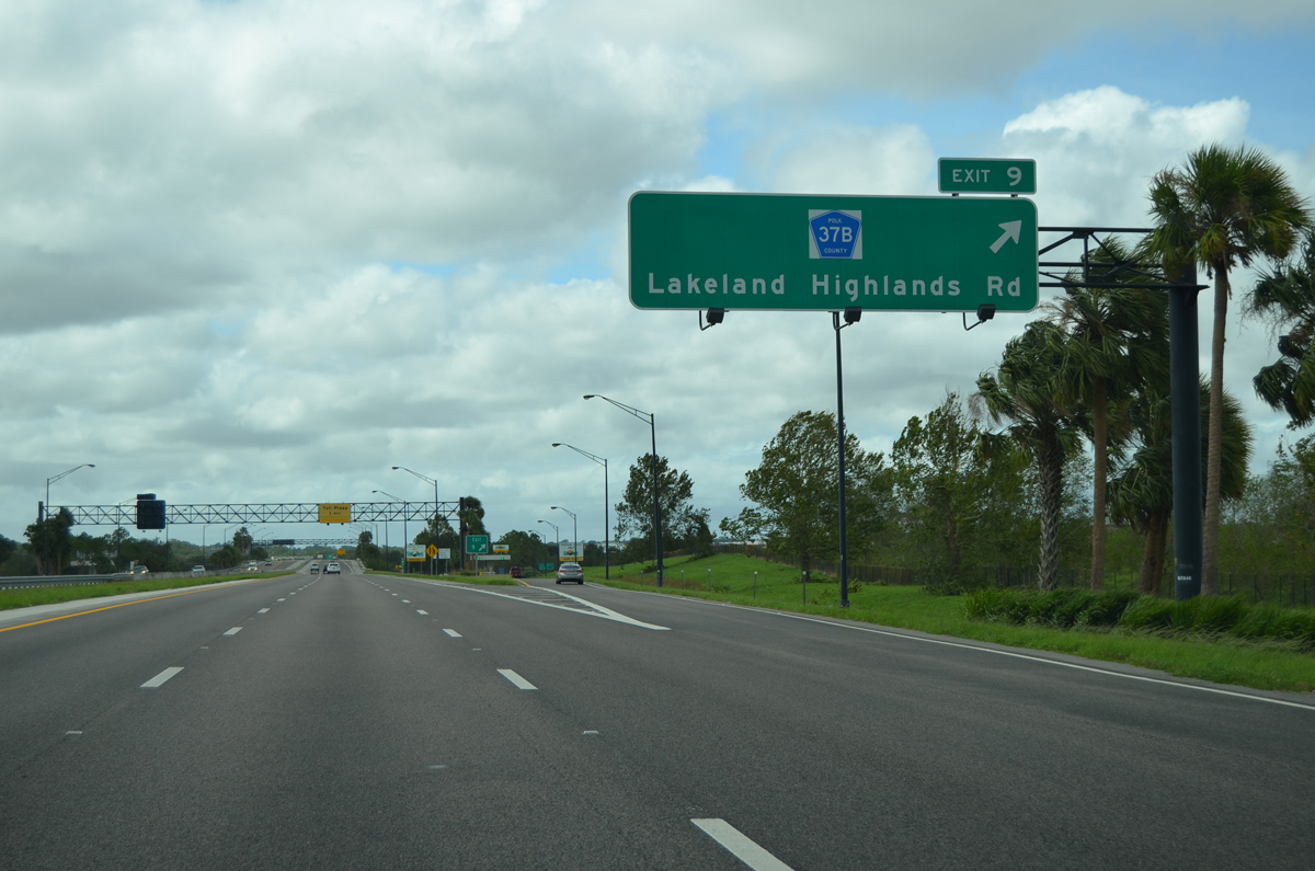
Lakeland Highlands Road (Polk County Road 37B) shares an interchange (Exit 9) with the Polk Parkway in one mile. CR 37B follows Lakeland Highlands Road from Edgewater Drive south to CR 540A in Lakeland Highlands.
09/11/17
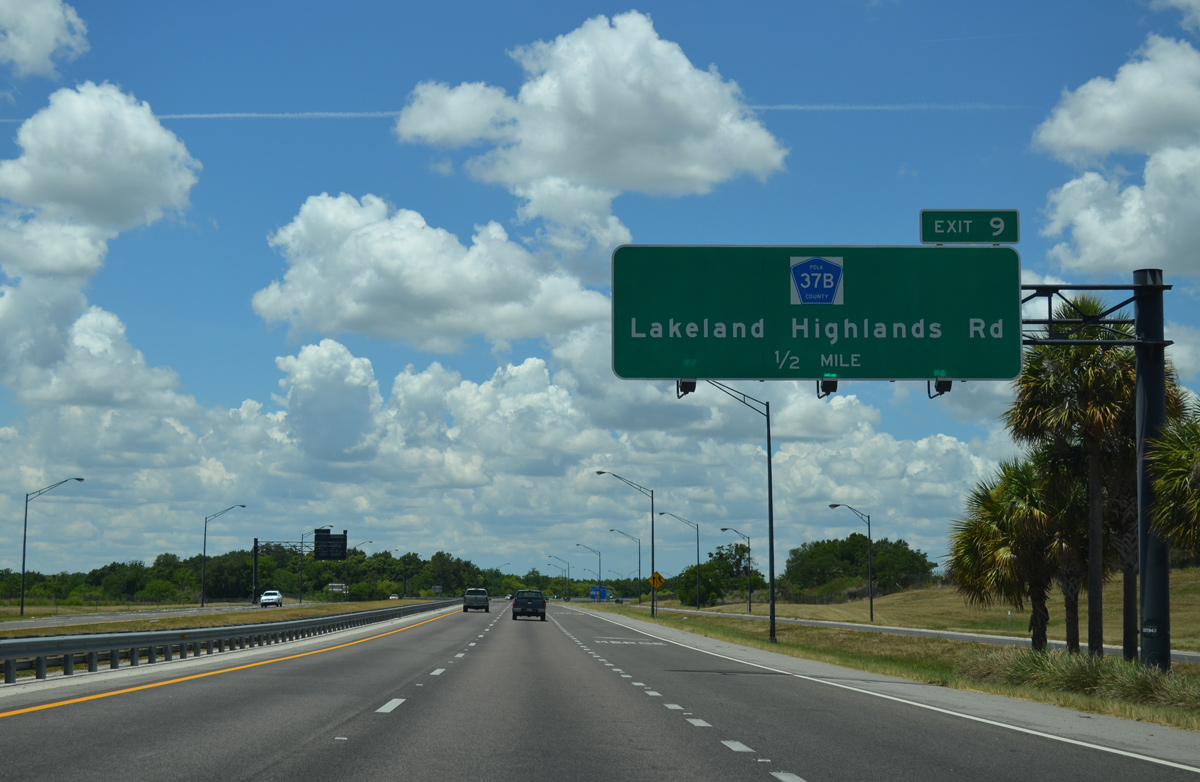
Traffic merges from U.S. 98 (Exit 9) on the half mile approach to CR 37B (Lakeland Heights Road). Lakeland Heights Road borders several residential neighborhoods as it extends south from SR 570.
05/31/15
Reassurance marker found along the Polk Parkway west beyond the entrance ramp from U.S. 98.
05/31/15
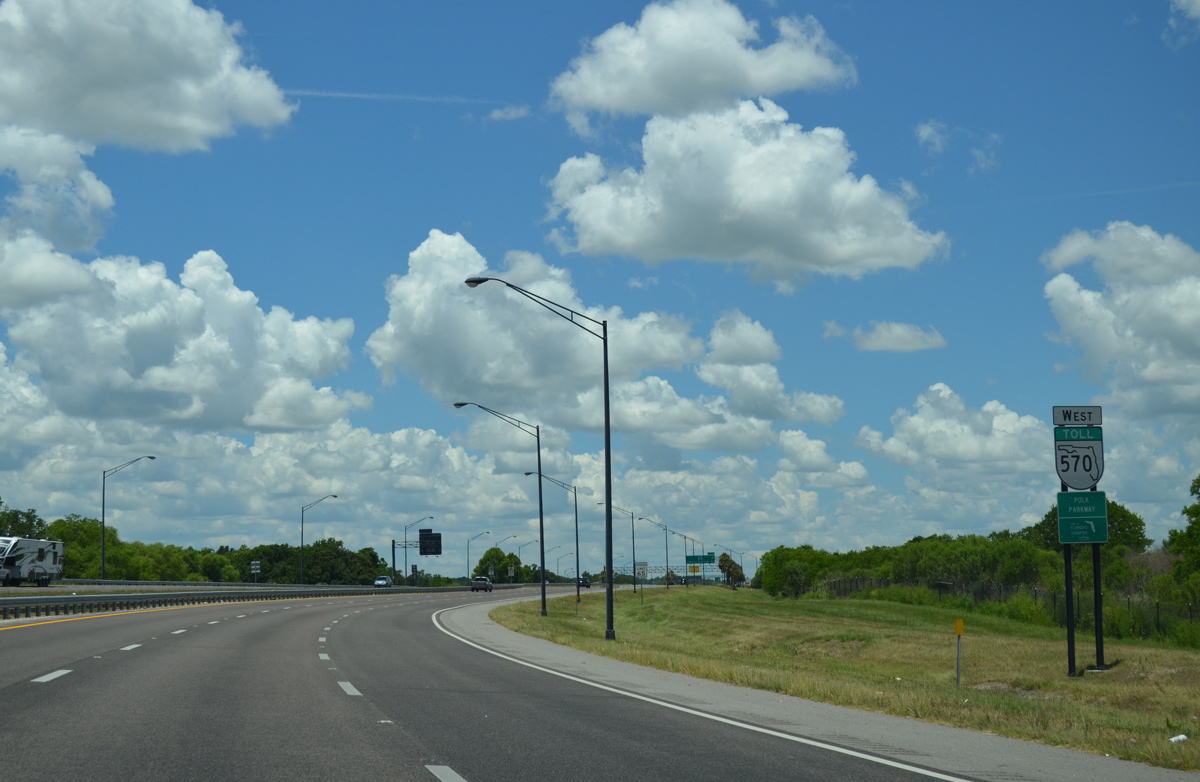
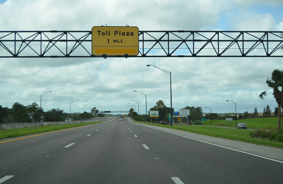
Drivers leave for CR 37B (Exit 10) one mile out from the Western toll plaza.
09/11/17
The Polk Parkway widens out one half mile from the final mainline toll plaza. Traffic from Lakeland Highlands Road (Exit 10) otherwise joins the expressway ahead of the plaza.
05/31/15

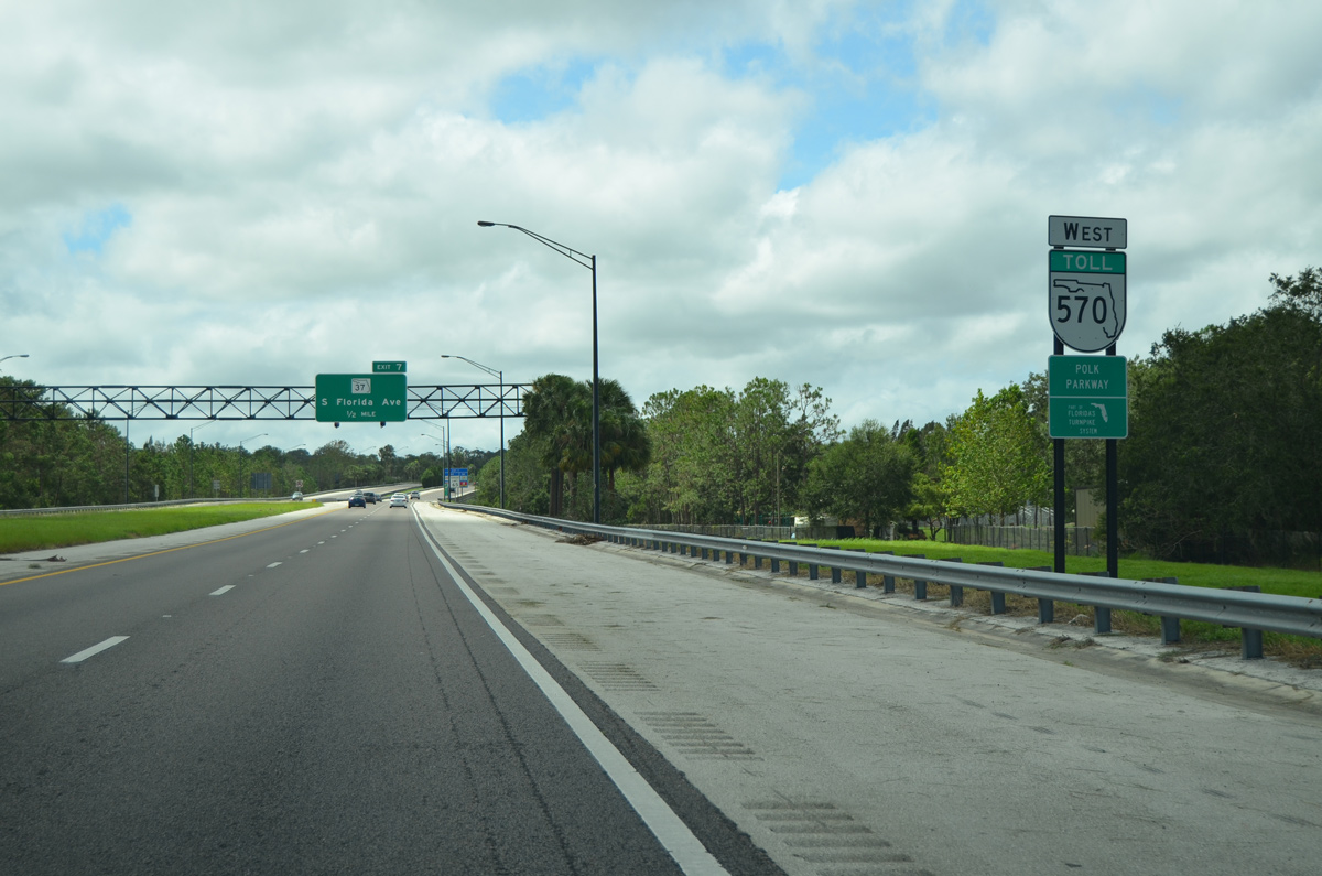
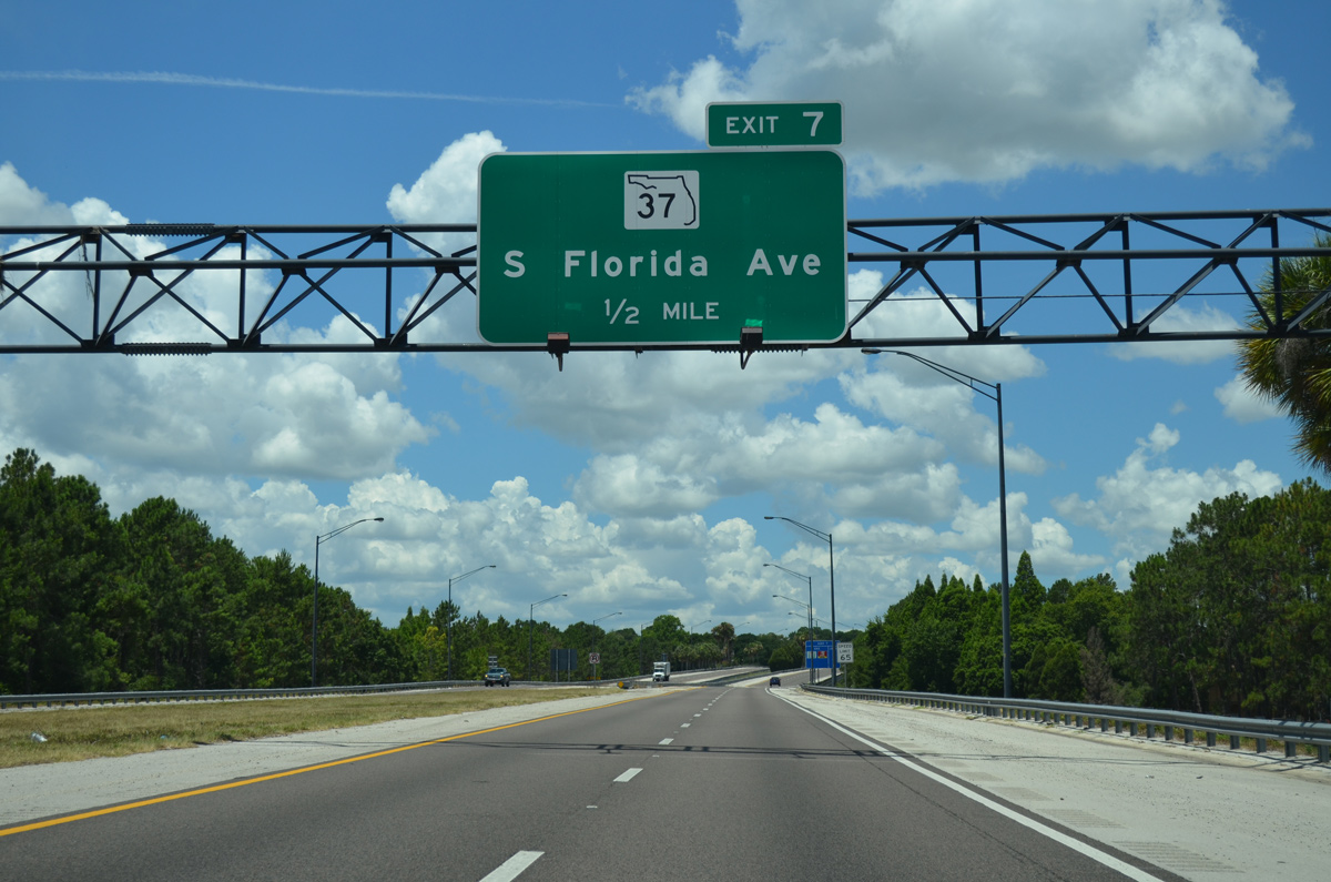
Passing through the Western toll plaza, SR 570 will next cross paths with SR 37 (South Florida Avenue) to Lakeland in one mile. The state road travels 34.2 miles between Manatee, Hillsborough, and Polk counties.
05/31/15
This confirming shield stands beyond the mainline toll plaza as SR 570 slides under Peterson Park.
09/11/17
SR 37 joins the Polk Parkway with downtown Lakeland and Mulberry via South Florida (Lakeland) and Church (Mulberry) Avenues. Otherwise SR 570 spans Cleveland Heights Boulevard on the 0.5 mile approach.
05/31/15
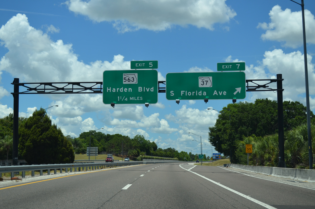
Drivers reach the departure point for SR 37 (Exit 10) to downtown. SR 37 is typically a commercial lined corridor through Lakeland and Mulberry while the remainder of the state road maintains a rural setting. SR 570 next meets SR 563 (Harden Boulevard) in 1.25 miles.
05/31/15
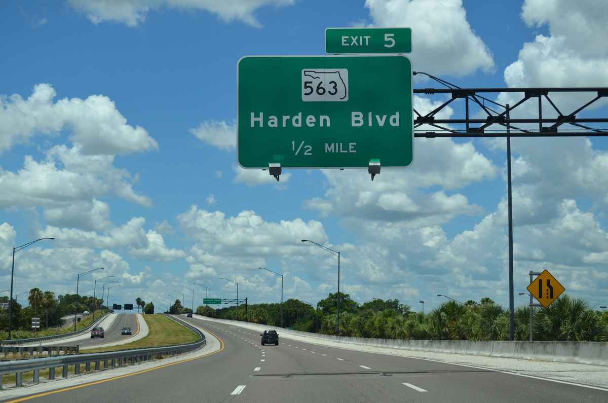
SR 563 travels north from SR 570 (Polk Parkway) along a 3.9 mile path toward central Lakeland utilizing both Harden and Sikes Boulevard. The northern most segment of SR 563 consists of a short freeway section completed by 1974.
05/31/15
Motorists speed by a confirming marker for the Polk Parkway on the final approach to SR 563 (Exit 5). Exit 5 serves interests to the Lakeland Center, which houses several venues throughout the year.
The remaining portion of the Polk Parkway also doubles as the James Henry Mills Metal of Honor Parkway, named for the only Polk County resident to ever receive a valid metal of honor in WWII.
09/11/17
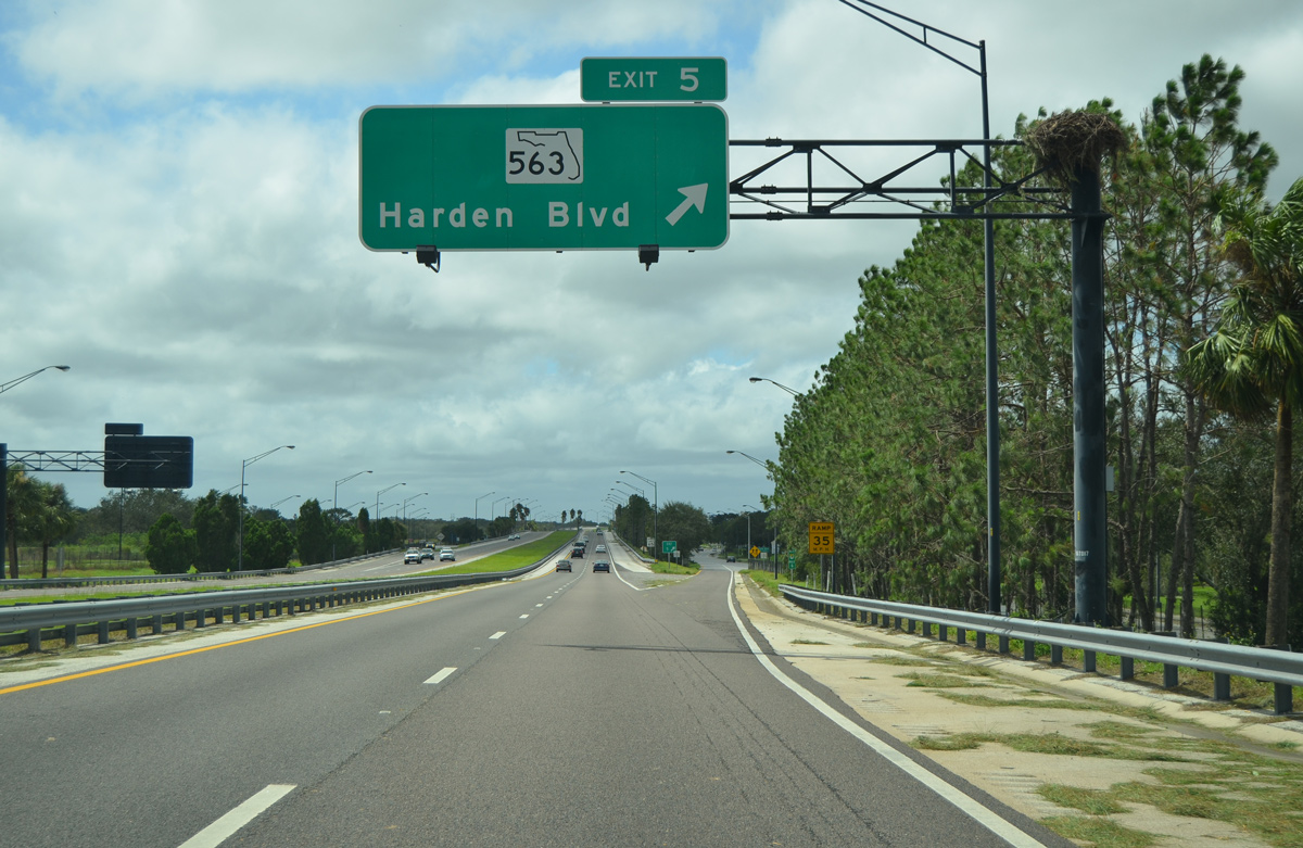
A slip ramp and frontage road provide the movements between SR 570 west to Harden Boulevard (Exit 5). Otherwise traffic presses forward toward the western end of the Lakeland loop.
09/11/17
Beyond Exit 5 (SR 563) SR 570 continues west through the southwestern reaches of Lakeland.
09/11/17
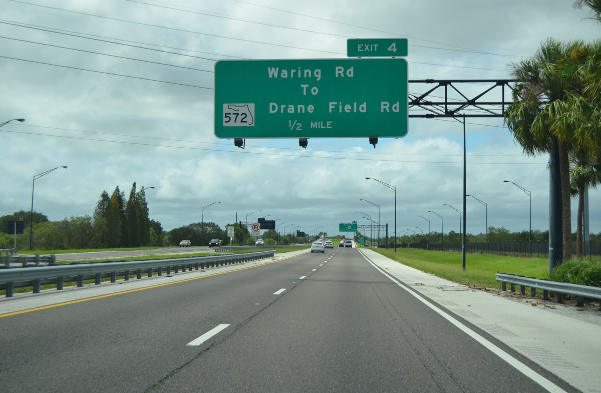
Waring Road (Exit 4) connects the Polk Parkway with State Road 572 (Drane Field Road) in 0.5 mile. SR 572 forms an L-shape route in southwest Lakeland, following Drane Field Road west from SR 563 (Harden Boulevard) to Airport Road. Airport Road continues SR 572 north to U.S. 92 and shares an interchange with SR 570 at Exit 3 ahead.
09/11/17
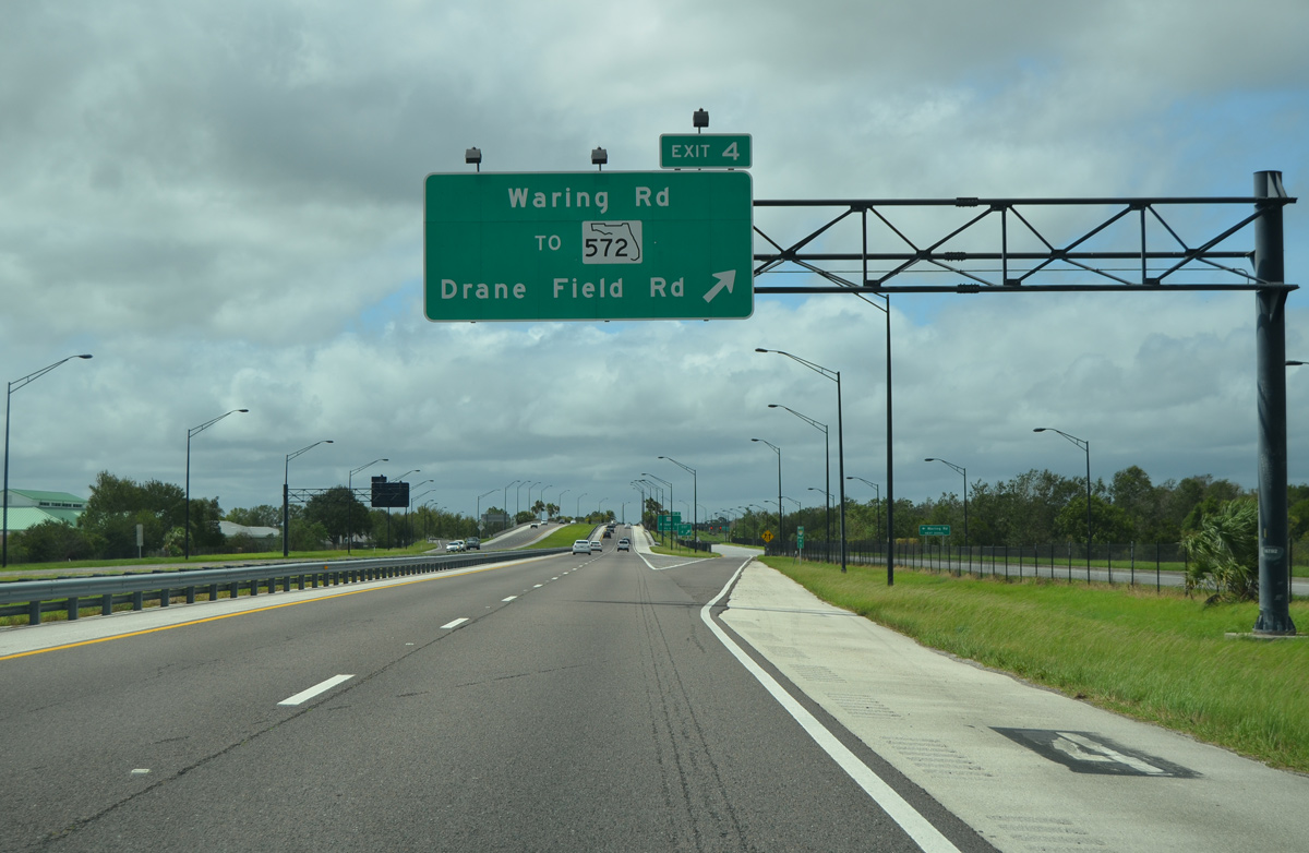
A slip ramp leaves SR 570 west for the frontage road to Waring Road south.
09/11/17
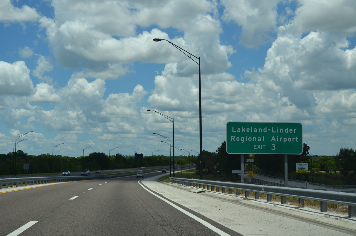
Advanced guide sign alerts drivers to use forthcoming Exit 3 (Airport Road) for nearby Lakeland-Linder International Airport (LAL).
05/31/15
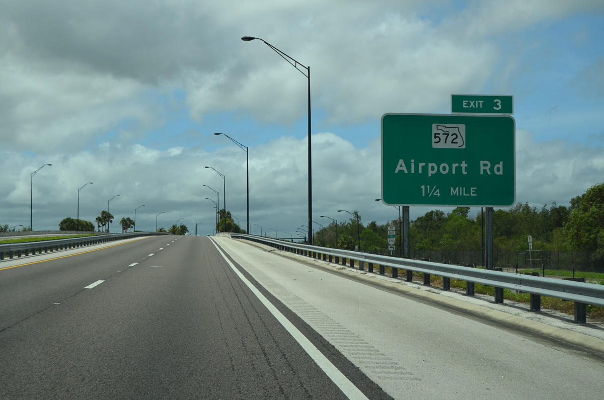
SR 570 (Polk Parkway) west formally crosses SR 572 (Airport Road) in 1.25 miles at a diamond interchange (Exit 3).
09/11/17
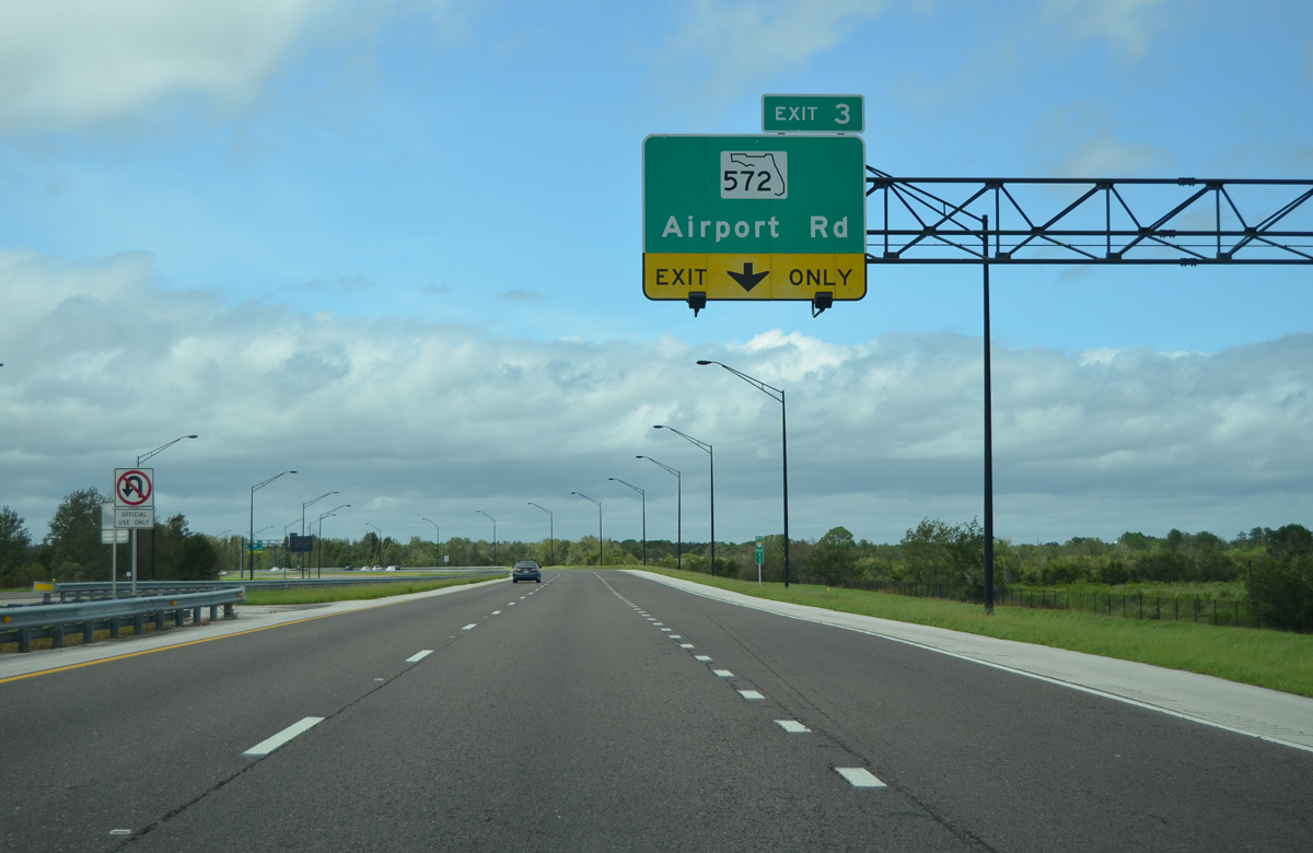
An auxiliary lane from Exit 4 joins the Polk Parkway as it begins its northwest turn ahead of the departure for SR 572.
09/11/17
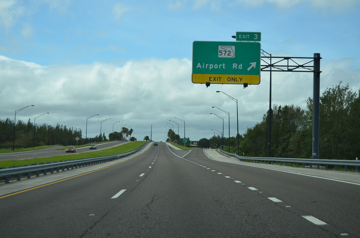
Exit 3 leaves for SR 572 (Airport Road). Lakeland-Linder Regional Airport lies beyond the intersection of Airport Road and Drane Field Road. Traveling north, SR 572 serves retail distribution centers before ending at U.S. 92 near the Winston neighborhood.
09/11/17

Motorists pass one final marker for SR 570 (Polk Parkway) beyond the ingress point from SR 572 (Airport Road).
09/11/17
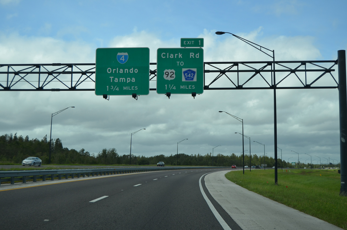
SR 570 continues northwest and will meet Clark Road (Exit 1) and Interstate 4 in 1.25 miles and 1.75 miles respectively. I-4 represents the western end of the Polk Parkway.
09/11/17
A half diamond interchange joins the Polk Parkway with Clark Road to CR 542 (Old Tampa Highway) and U.S. 92. CR 542 begins at County Line Road heading east along Old Tampa Highway into Lakeland.
09/11/17
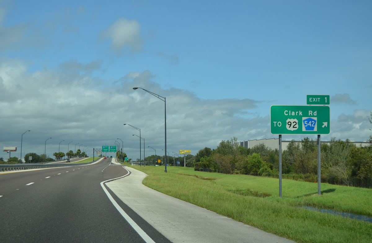
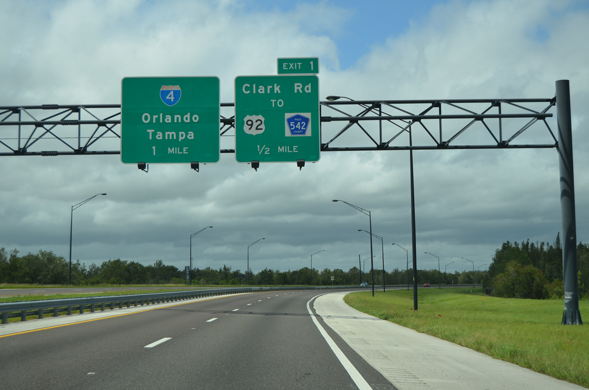
Exit 1 departs for Clark Road and Polk County Road 542. Clark Road stems north providing the only connection to nearby U.S. 92, otherwise the local road links with Swindell Road on the north side of the upcoming trumpet interchange with I-4.
09/11/17
Polk Parkway spans CR 542 (Old Tampa Highway), a CSX rail line, and U.S. 92 one half mile from its end at Interstate 4.
09/11/17
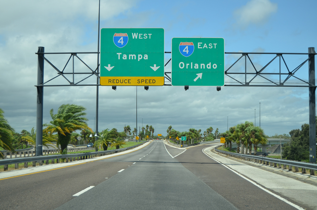
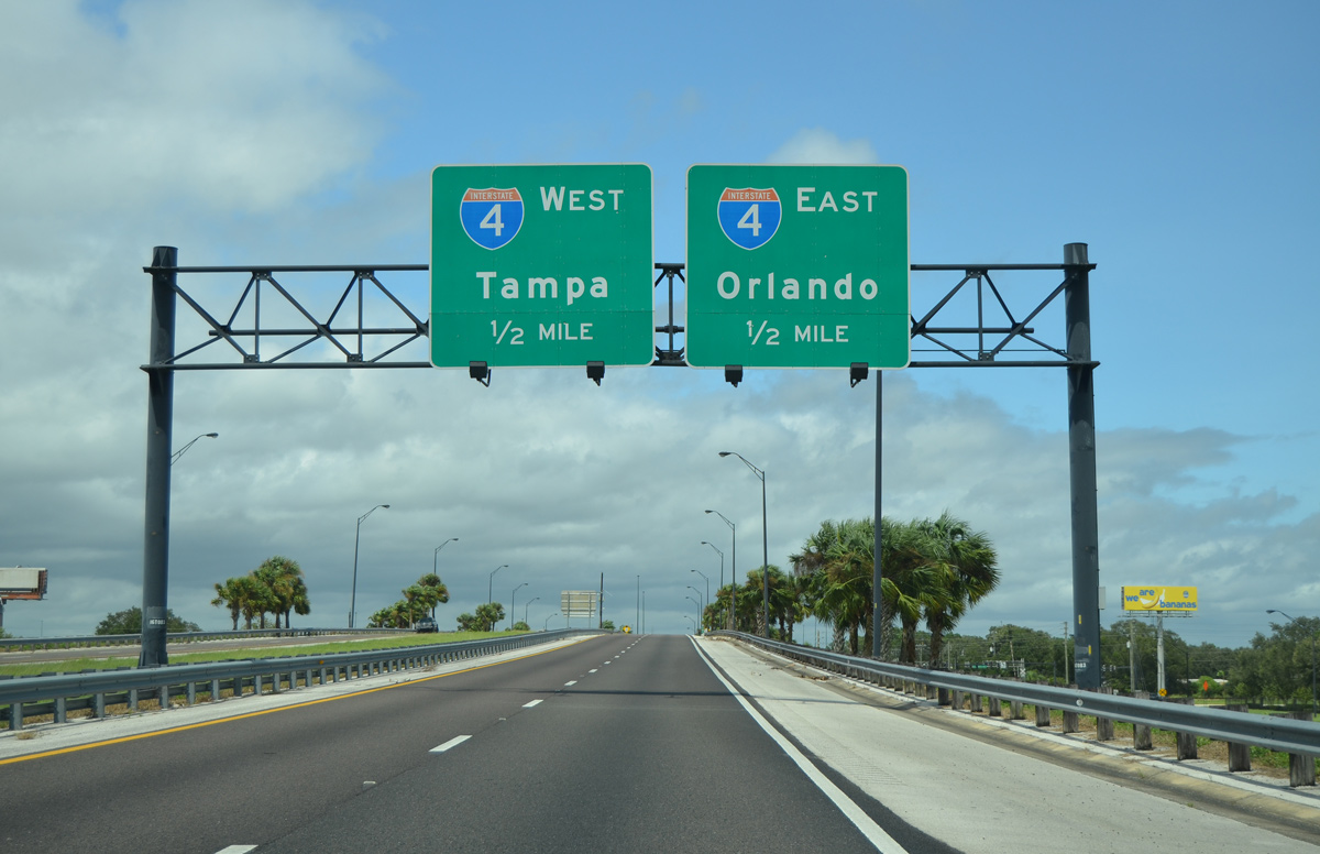
SR 570 and the Polk Parkway conclude its 25 mile loop as ramps lead to I-4 east to Orlando and west to Tampa. I-4 turns at this point to run diagonally through Lakeland on its northeasterly course to the Orlando metro area. Travelers bound for I-4 west immediately enter Hillsborough County on its 27 mile run to I-275 and downtown Tampa.
09/11/17
Photo Credits:
- Alex Nitzman: 05/31/15
- ABRoads: 09/11/17
Connect with:
Page Updated Monday September 18, 2017.