
Interstate 5 North - Kalama to Castle Rock
Longview is the first city of significant size along Interstate 5 north beyond Vancouver. Longview was platted in 1921 and the Long-Bell Logging company purchased the site and planned the entire city before construction even began (City of Longview, n.d.).
One of western Washington's older communities, Castle Rock was incorporated in 1890 and its name derives from a 190-foot high volcanic formation located at the heart of town.
North from Woodland, Interstate 5 runs along the western slope of Green Mountain.
07/16/23
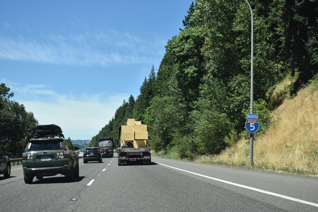
The BNSF Railroad runs between the north and southbound roadways of Interstate 5 from Exit 22 to Martin Bluff along the Columbia River.
07/16/23
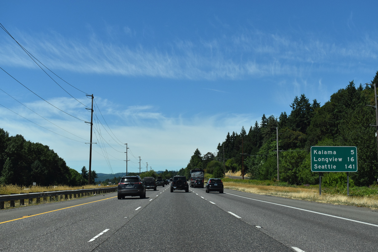
Interstate 5 continues along the Columbia River north five miles to the city of Kalama.
07/16/23
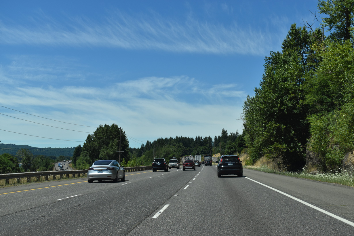
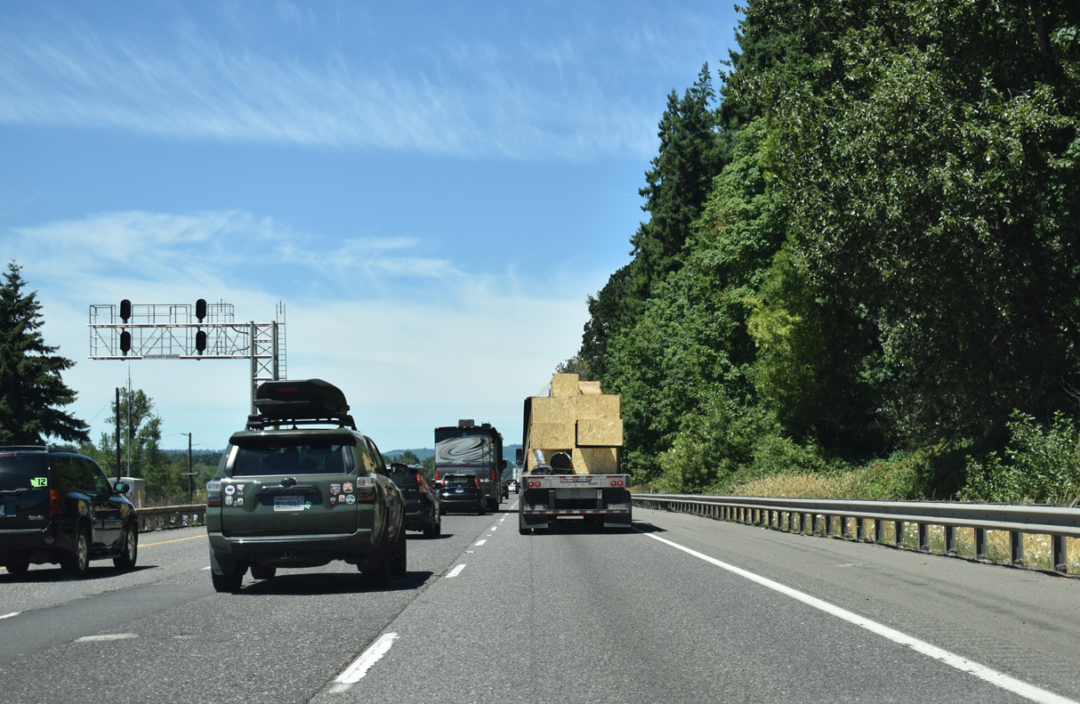
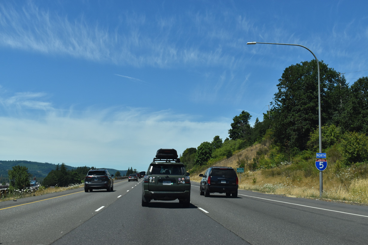
The roadways for Interstate 5 diverge at Martin Bluff and milepost 26.
07/16/23
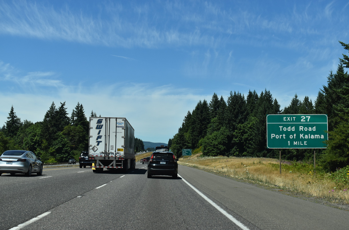
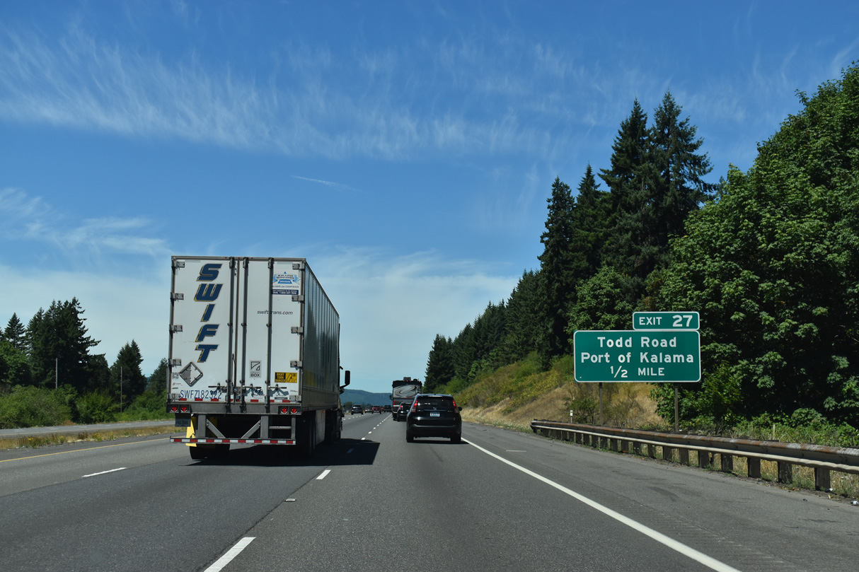
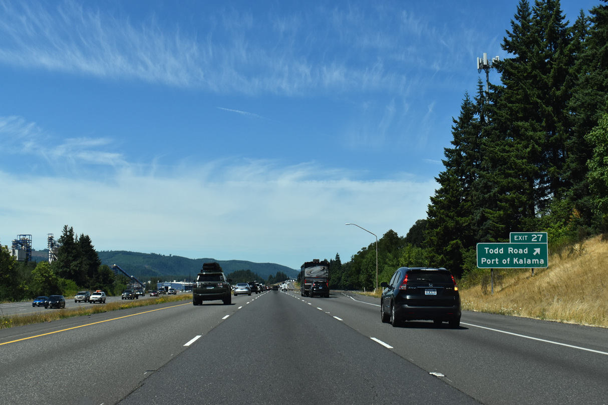
The succeeding exit along Interstate 5 north is with Todd Road just outside the Kalama city limits.
07/16/23
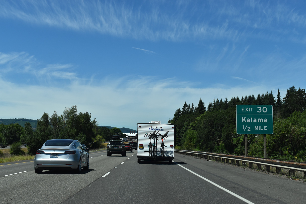
Becoming 1st Street through the Kalama city center, Old Pacific Highway (old U.S. 99/830) extends north from Todd Road adjacent to Exit 27. Exit 30 connects I-5 with Elm Street next to 1st Street in three miles.
07/16/23
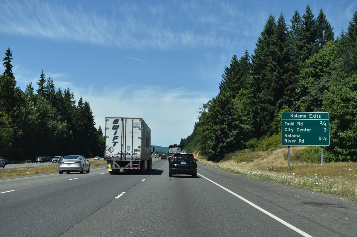
Todd Road meanders east from the diamond interchange at Exit 27 to S Cloverdale Road across the hills south of Kalama. West of the freeway, Toteff Road heads north to the Port of Kalama.
07/16/23
Grain silos and storage facilities at the Port of Kalama are visible on the west side of I-5. Formerly in view at Exit 27 also was a cooling tower of Oregon's mothballed Trojan Nuclear Power Plant. The tower was demolished in May 2006.
07/16/23
The hills to the northwest of Kalama are in Oregon.
07/16/23
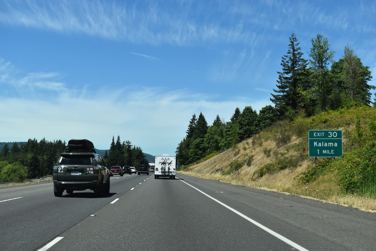
Similar to Woodland, a split diamond interchange with long frontage roads connect Interstate 5 with the city of Kalama at Exit 30.
07/16/23
The city of Kalama, and the nearby Kalama River, are named for John Kalama, a Hawaiian who settled in the Northwest during the 1830s (City of Kalama, n.d.).
07/16/23
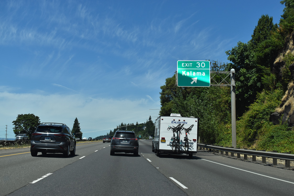
Exit 30 departs I-5 north to Elm Street and NE Frontage Road to the Kalama city center. The return ramp is from NE Frontage Road at Oak Street.
07/16/23
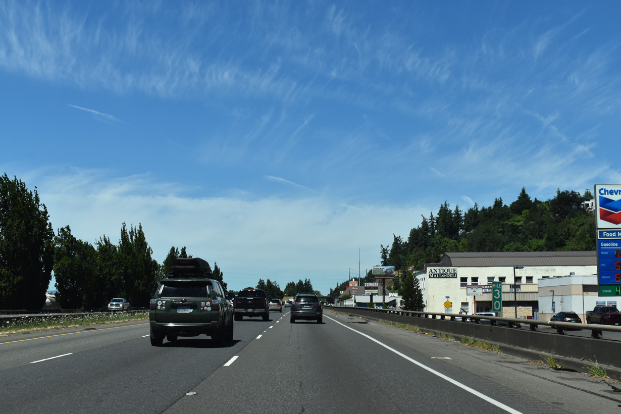
Interstate 5 north at milepost 30 in Kalama. The freeway is slightly elevated above parallel NE Frontage Road.
07/16/23
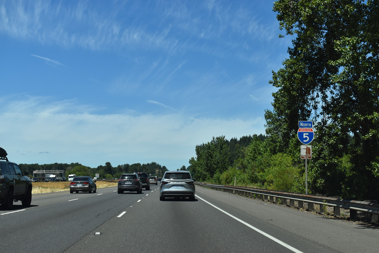
Interstate 5 traverses an area of wetlands north of the Oak Street entrance ramp and Kalama.
07/16/23
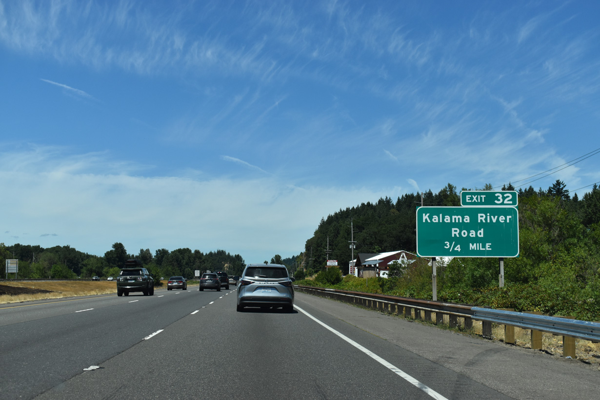
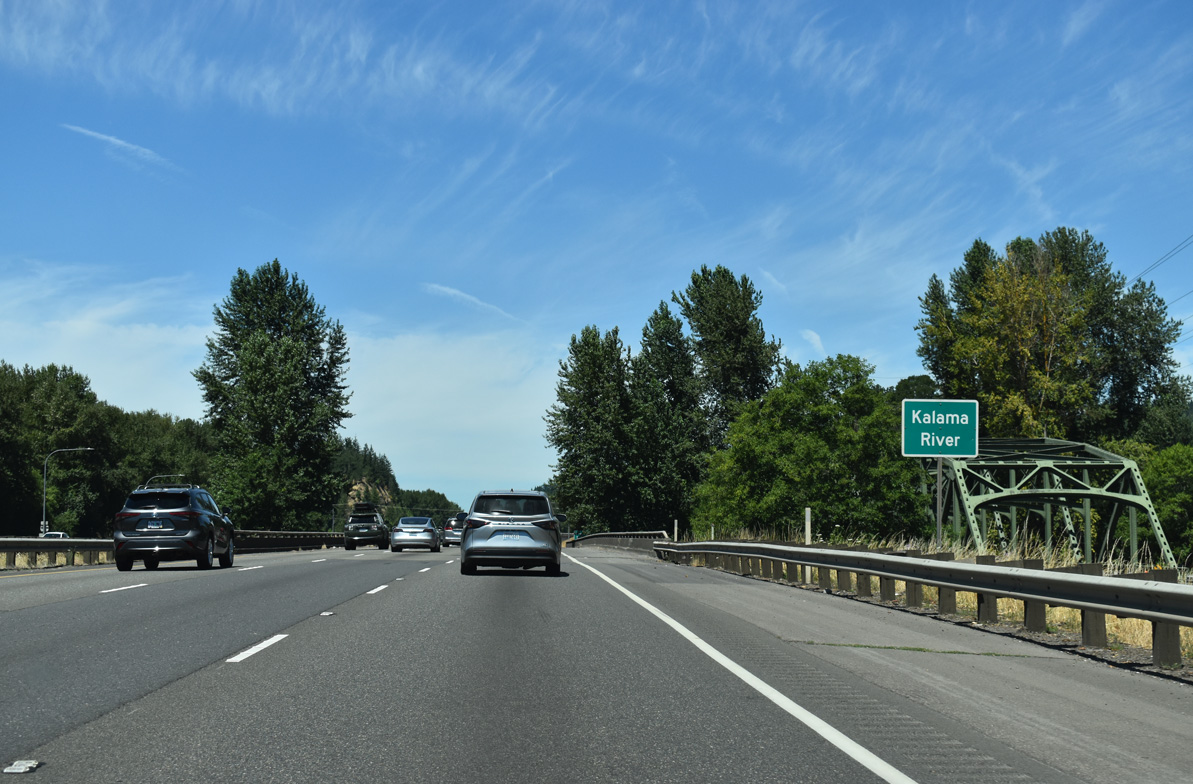
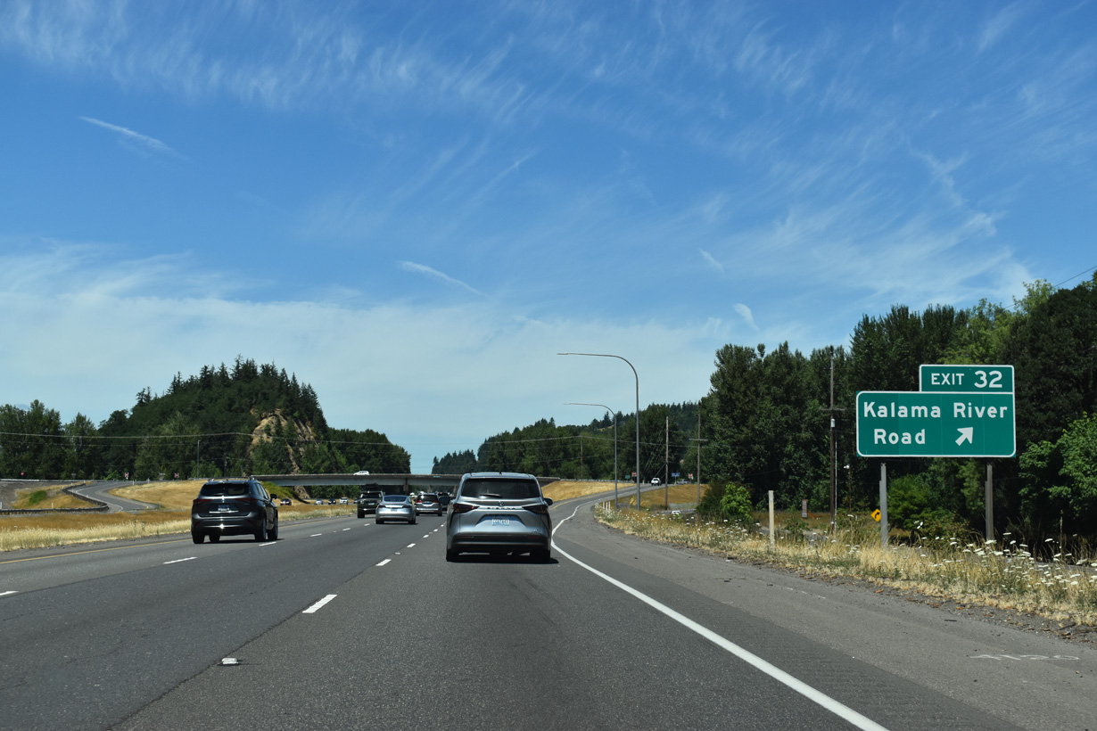
A diamond interchange joins Interstate 5 with Kalama River Road at Exit 32 in 0.75 miles.
07/16/23
Interstate 5 crosses the Kalama River between the BNSF Railroad and Meeker Drive (Historic U.S. 99/830).
07/16/23
Kalama River Road follows the course of the Kalama River east into the Cascade Range foothills, south of Mount Saint Helens.
07/16/23
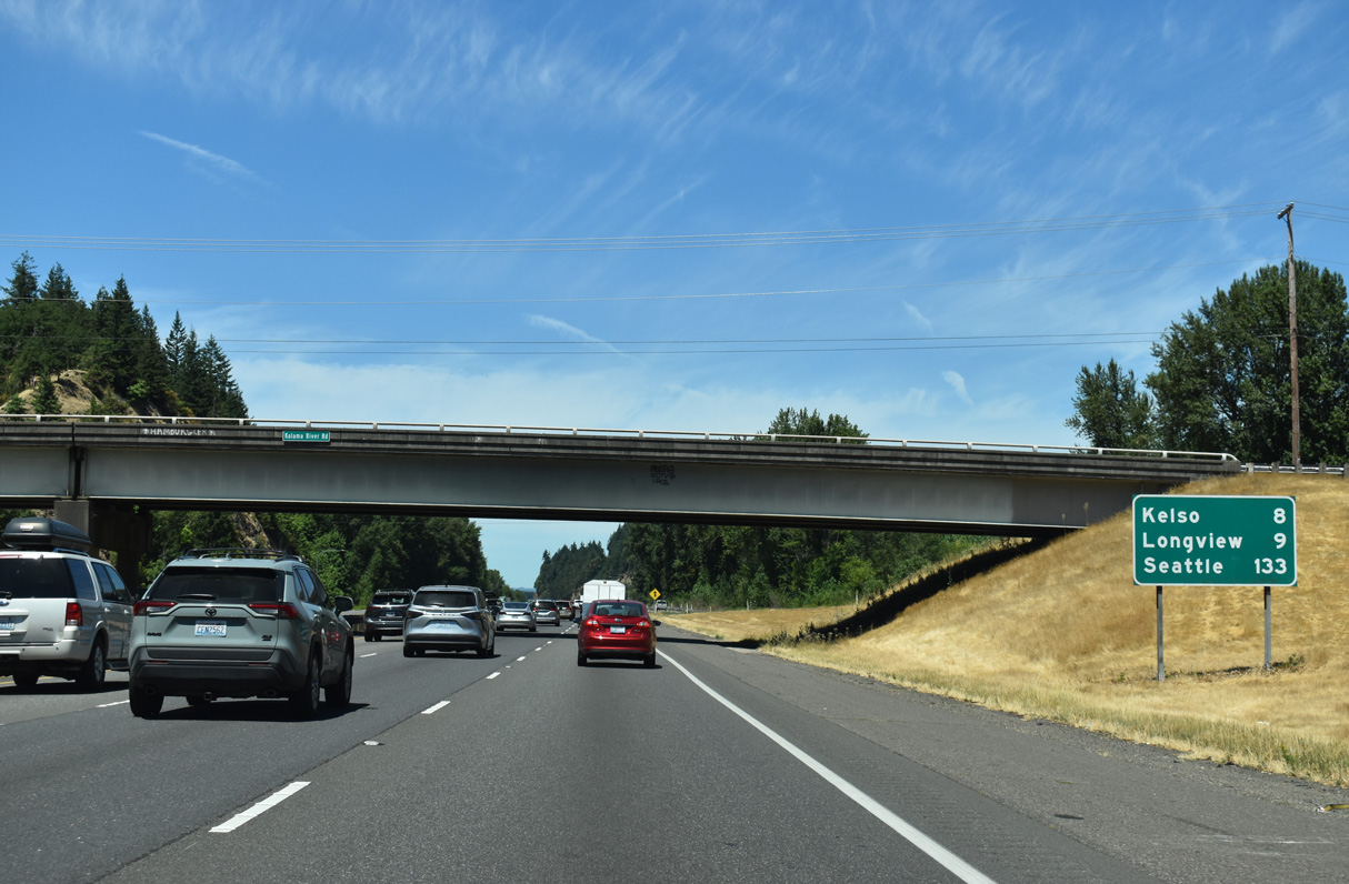
Seattle is 133 miles north of the Kalama River Road over crossing via Interstate 5. Longview is nine miles to the northwest.
07/16/23
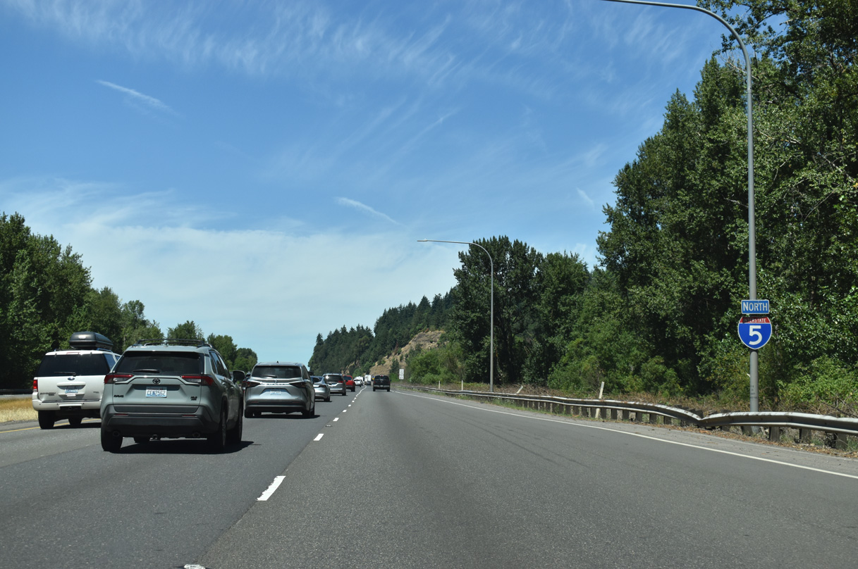
Confirming marker posted ahead of milepost 33.
07/16/23
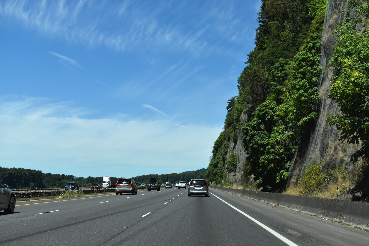
The climate of SW Washington is similar to that of NW Oregon and vegetation consists of the familiar Douglas-firs, hemlocks, red-cedars, oaks, and maples. However, the low bluffs that line the Columbia River impart a very different feel to the surrounding landscape than do the broad, alluvial plains of the Willamette Valley south of Portland. Rocky hillsides, such as at Carrolls Bluff near Longview, are also home to madrone trees.
07/16/23
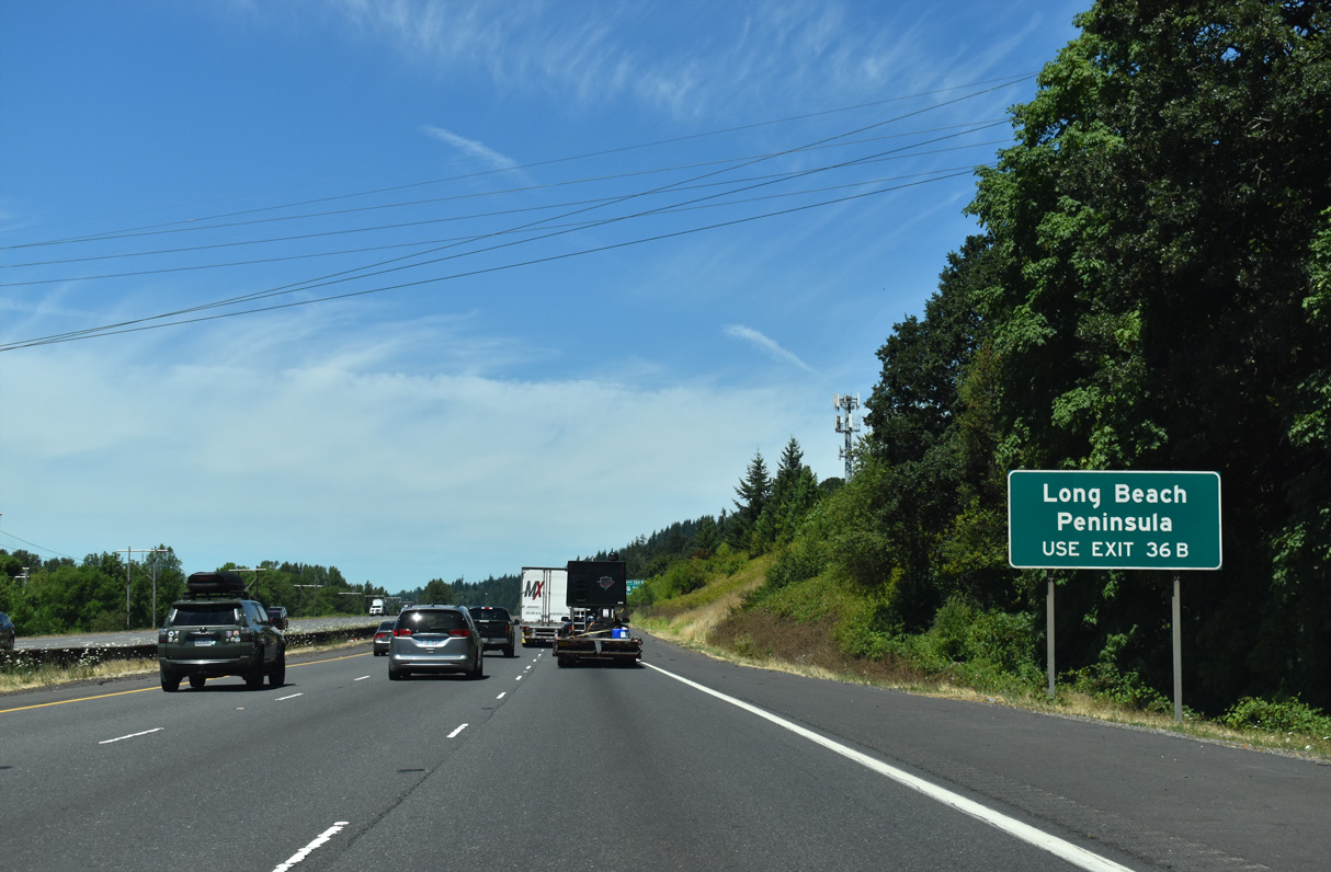
SR 432 provides a bypass of Kelso and Longview west to SR 4, which travels west to U.S. 101 near Long Island. Long Beach is 16 miles further west along the Pacific Ocean.
07/16/23
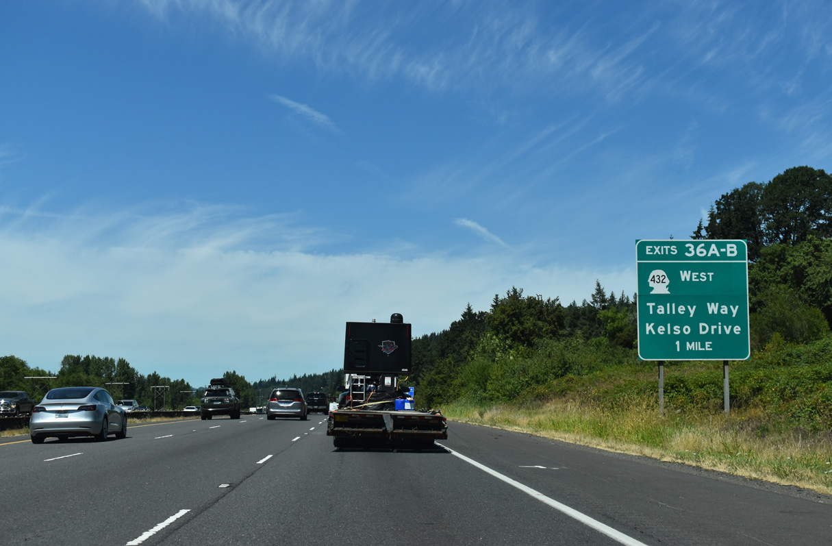
SR 432 (Tennant Way) branches 2.69 miles west from Exit 36 B along an expressway to SR 411 (3rd Avenue) in the city of Longview.
07/16/23
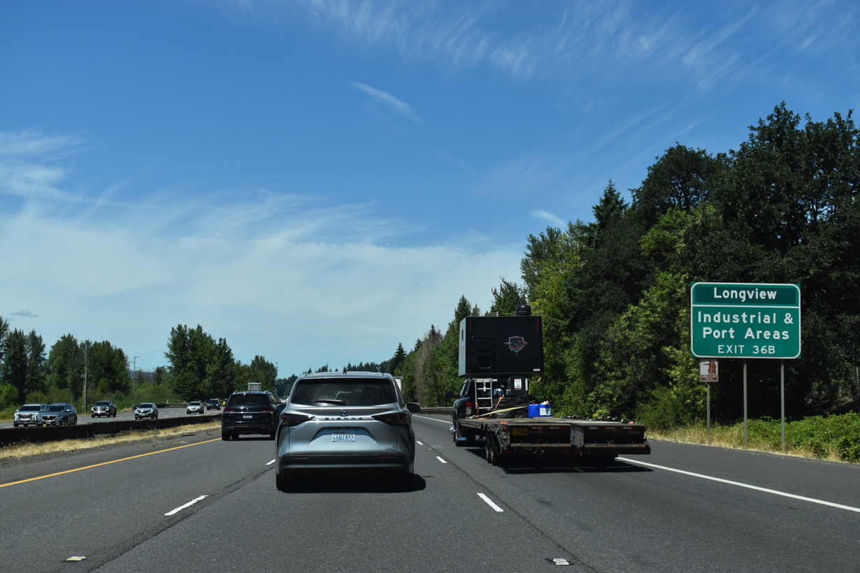
Guide signs for Exit 36 previously referenced Longview and Long Beach. Longview, the largest city along I-5 between Vancouver and Olympia, is now relegated to a lone reference on a supplemental sign.
07/16/23
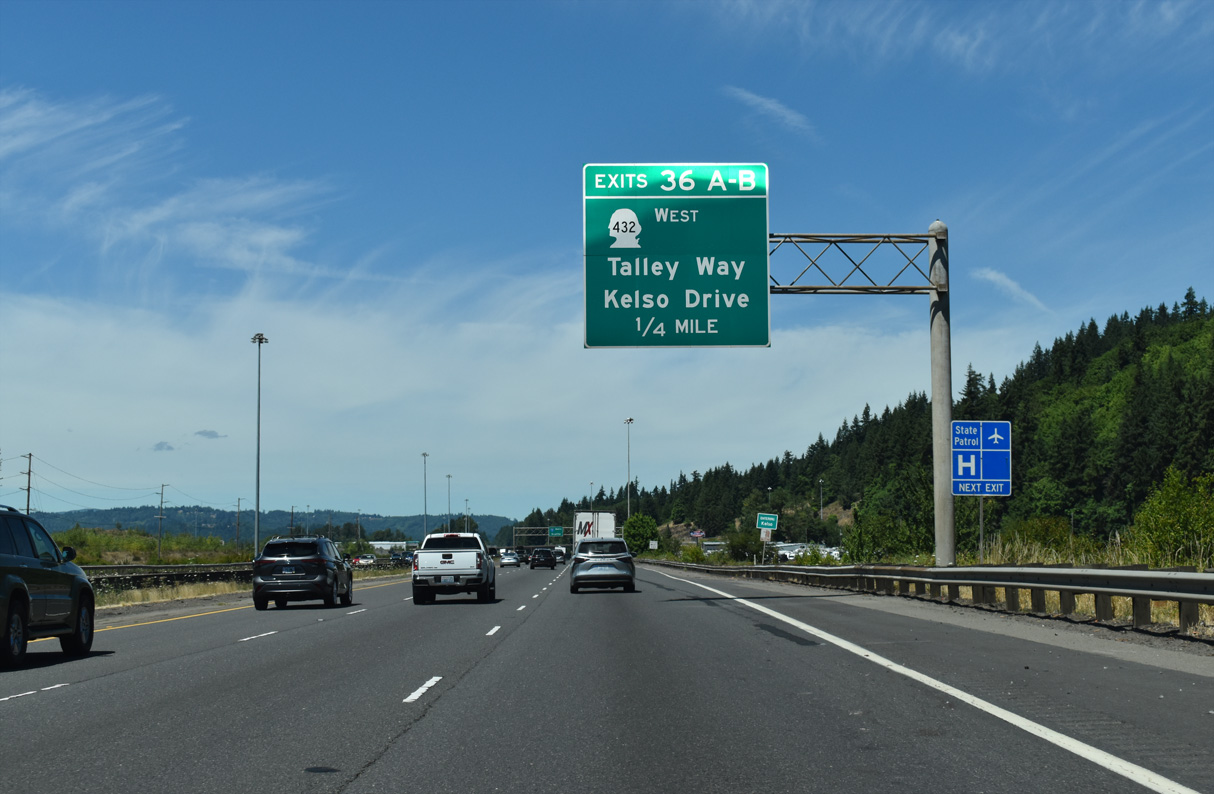
Kelso Drive comprises an east side frontage road for Interstate 5 north leading into Kelso from Old Pacific Highway S (Old U.S. 99/830). Paralleling I-5 to the west, Talley Way heads north to an industrial park area by Southwest Washington Regional Airport (KLS).
07/16/23
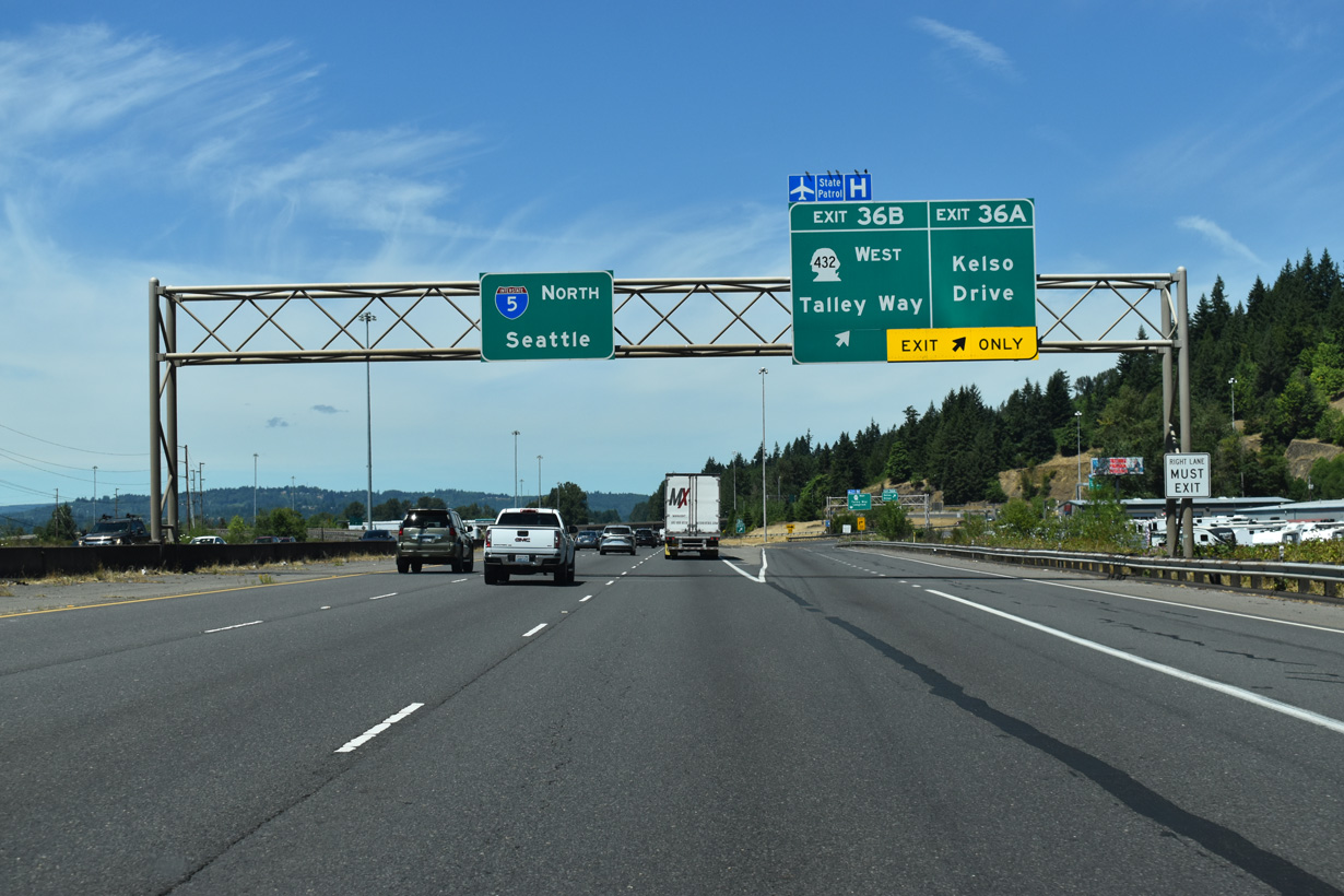
Exits 36 A B depart simultaneously from I-5 northbound at the parlo interchange with SR 432 (Tennant Way) west. SR 432 west links with SR 433 south across the Lewis and Clark Bridge spanning the Columbia River to U.S. 30 at Rainier, Oregon.
07/16/23
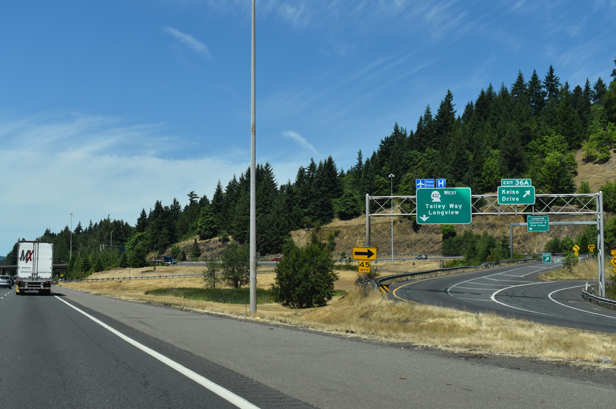
Washington State Route 432 travels 10.32 miles overall between Exit 36 B to SR 4 (Ocean Beach Highway). Exit 36 A ties into a roundabout joining ramps for SR 432 with Old Pacific Highway S and Kelso Drive.
07/16/23
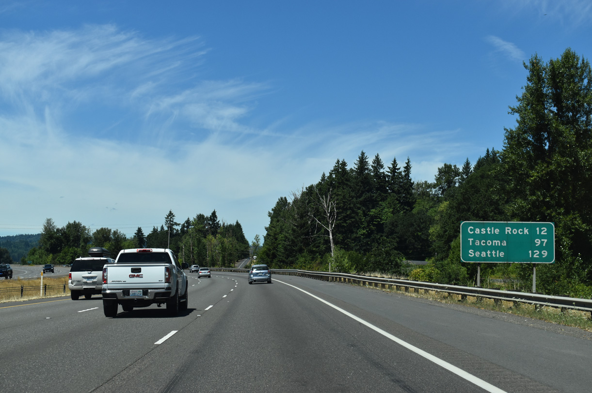
Castle Rock is 11.5 miles north of this distance sign. The Tacoma city center is 97 miles away.
07/16/23
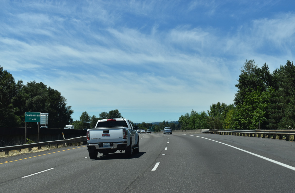
Interstate 5 crosses the Coweeman River three times in Kelso.
07/16/23
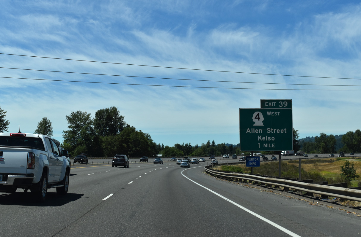
Originating at Exit 39, SR 4 follows Allen Street west to the Kelso city center, where it dog legs three blocks north to Cowlitz Way west to Longview.
07/16/23
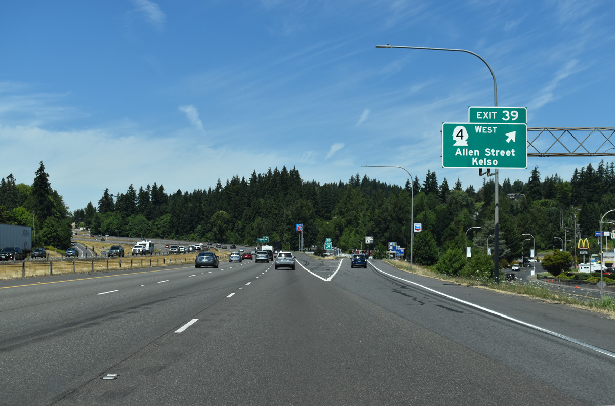
SR 4 travels 62.27 miles west from Kelso to U.S. 101 north of Astoria, Oregon. Billing itself both as the "Smelt Capital of the World" and "The City of Friendly People," the city of Kelso takes its name from a Scottish town.
07/16/23
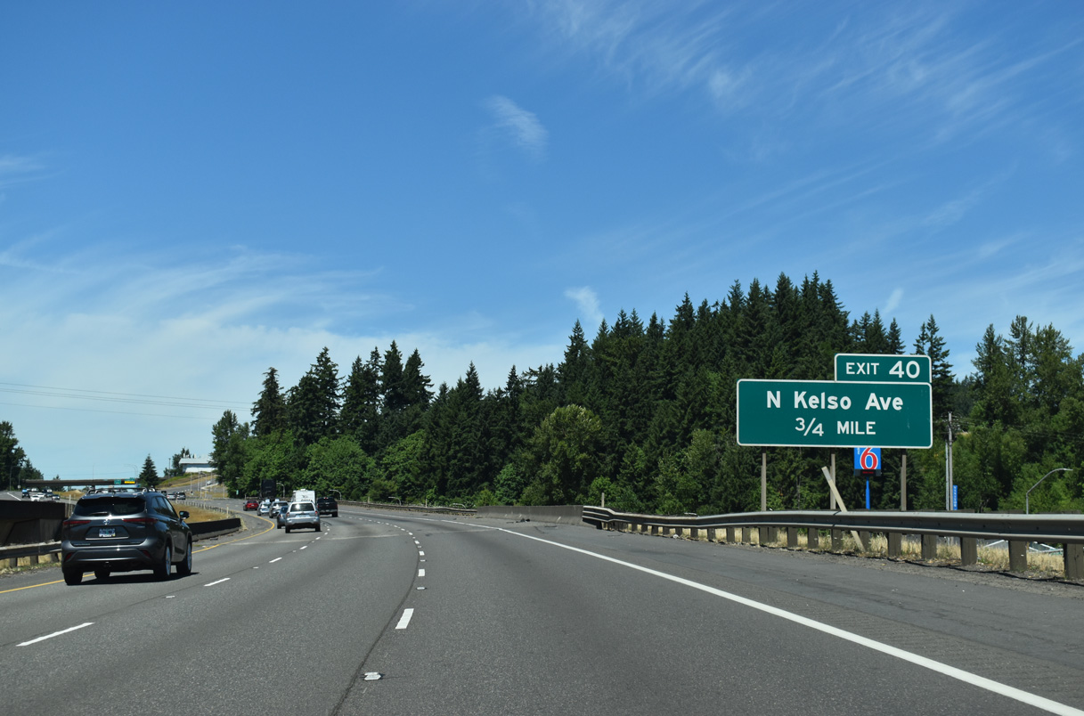
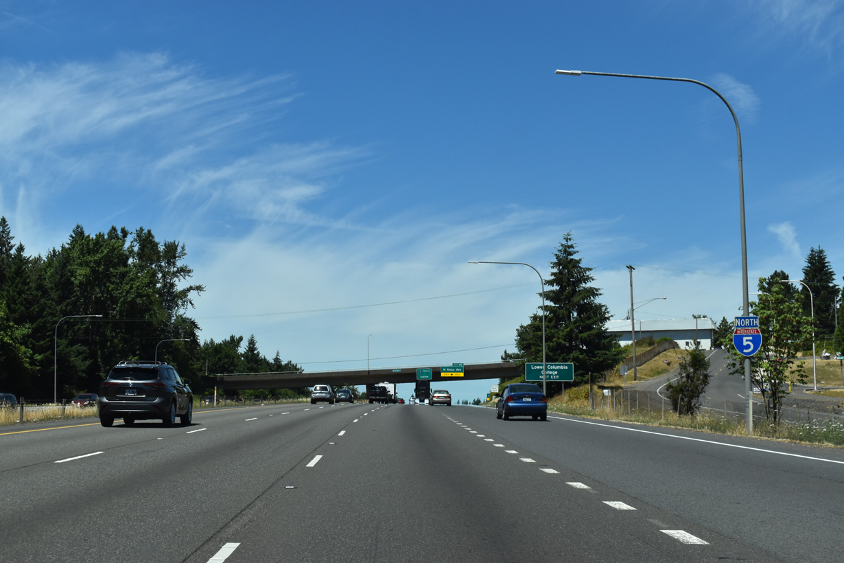
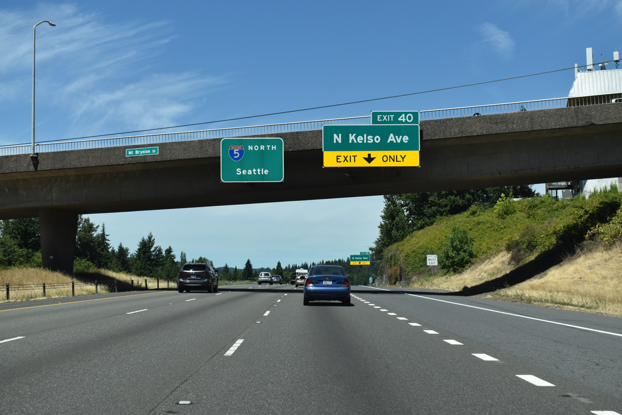
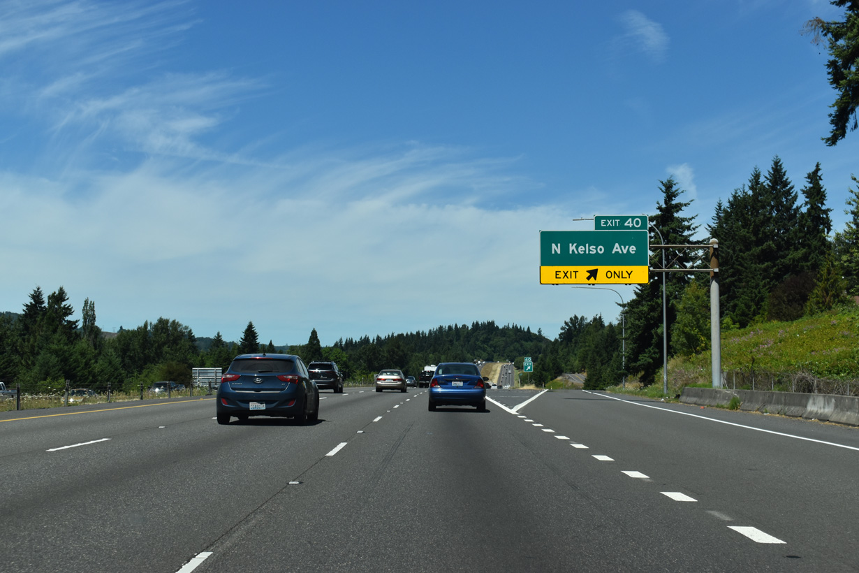
Exit 40 connects with N Kelso Avenue (former SR 431) south back to Downtown Kelso and Holcomb Road north onto the western slope of Mount Brynion.
07/16/23
Interstate 5 separates residential areas north of Allen Street and Three Rivers Crossing mall on the ensuing stretch.
07/16/23
An auxiliary lane extends north from Exit 39 to the diamond interchange (Exit 40) with N Kelso Avenue and Holcomb Road.
07/16/23
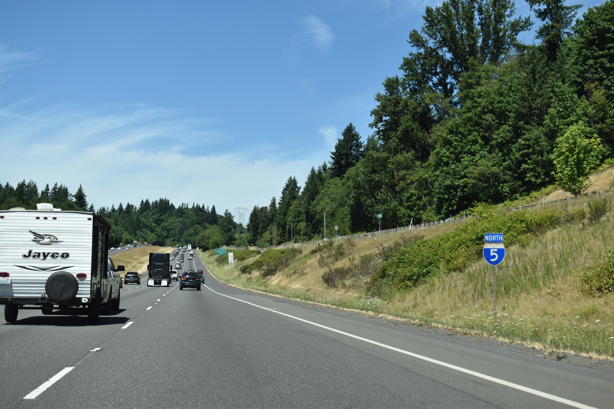
Advancing north from Kelso, Interstate 5 parallels Holcomb Road and passes Rocky Point along the Cowlitz River.
07/16/23
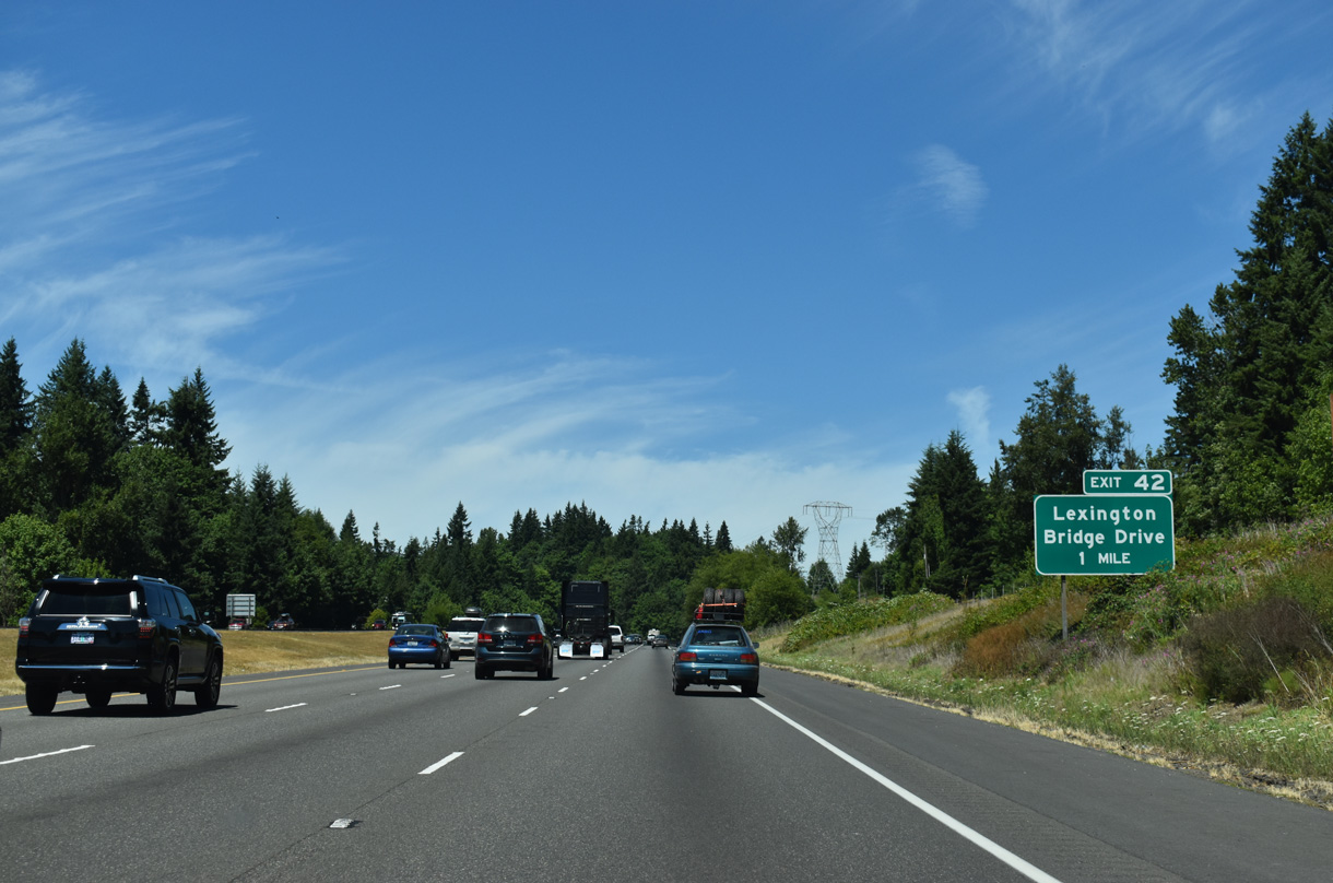
The succeeding exit from I-5 north beyond the Longview-Kelso area is for Lexington Bridge Drive and the census designated place of Lexington.
07/16/23
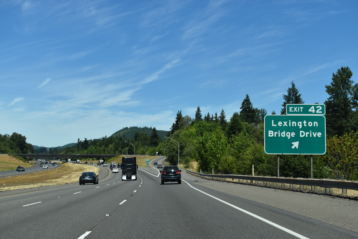
Guide signs for Exit 42 previously referenced Ostrander Road and Pleasant Hill Roads, area roads that branch off adjacent Pacific Highway N (Old U.S. 99). Lexington Bridge Drive links I-5 with SR 411 (Westside Highway) between Beacon Hill and Sandy Bend.
07/16/23
Pleasant Hill Road spans I-5 beyond this reassurance shield at the unincorporated community of Ostrander.
07/16/23
The Seattle city center is 122 miles north of this distance sign at Ostrander.
07/16/23
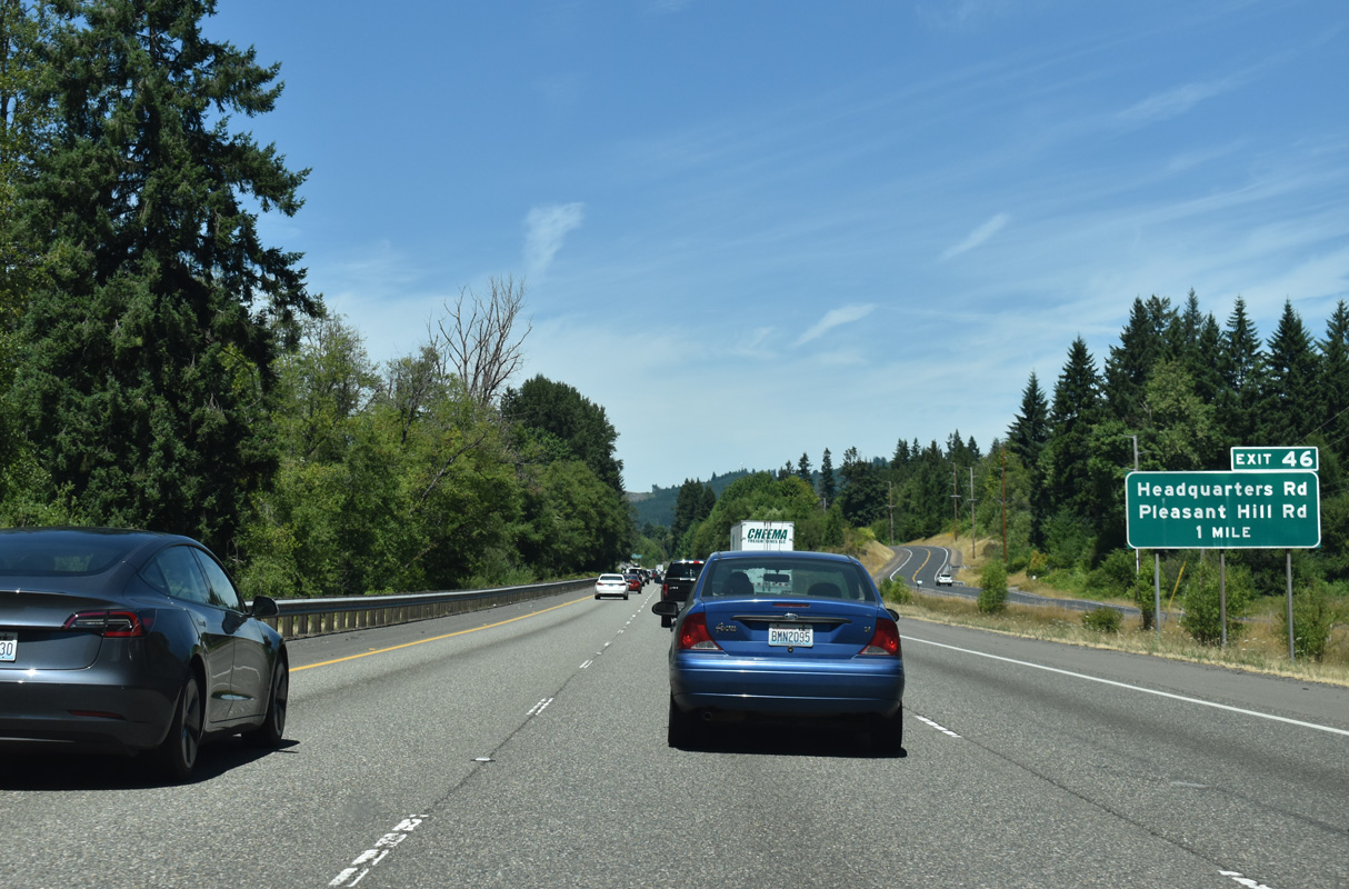
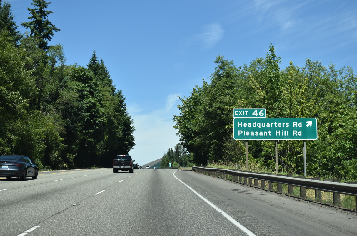
Pleasant Hill Road continues north to the unincorporated community of Pleasant Hill Road and Headquarters Road adjacent to forthcoming Exit 46.
07/16/23
Headquarters Road climbs to over 1,000 feet in elevation east into the foothills en route to S Silver Lake Road near Headquarters.
07/16/23
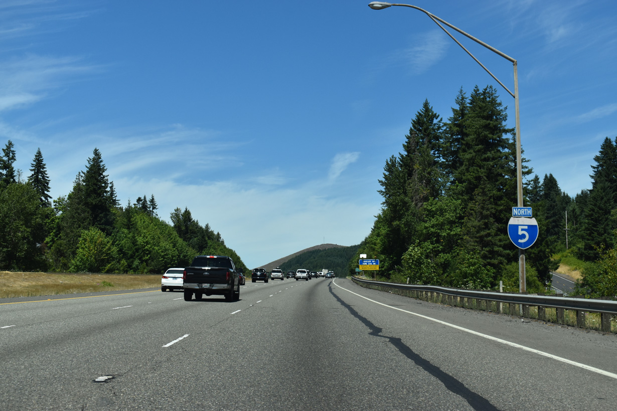
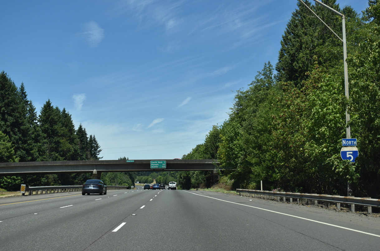
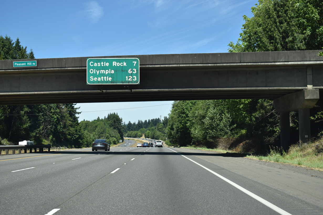
Continuing north to Castle Rock, Interstate 5 runs between Pleasant Hill Road and Bond Road east of the BNSF Railroad and Cowlitz River.
07/16/23
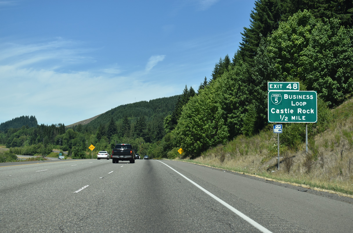
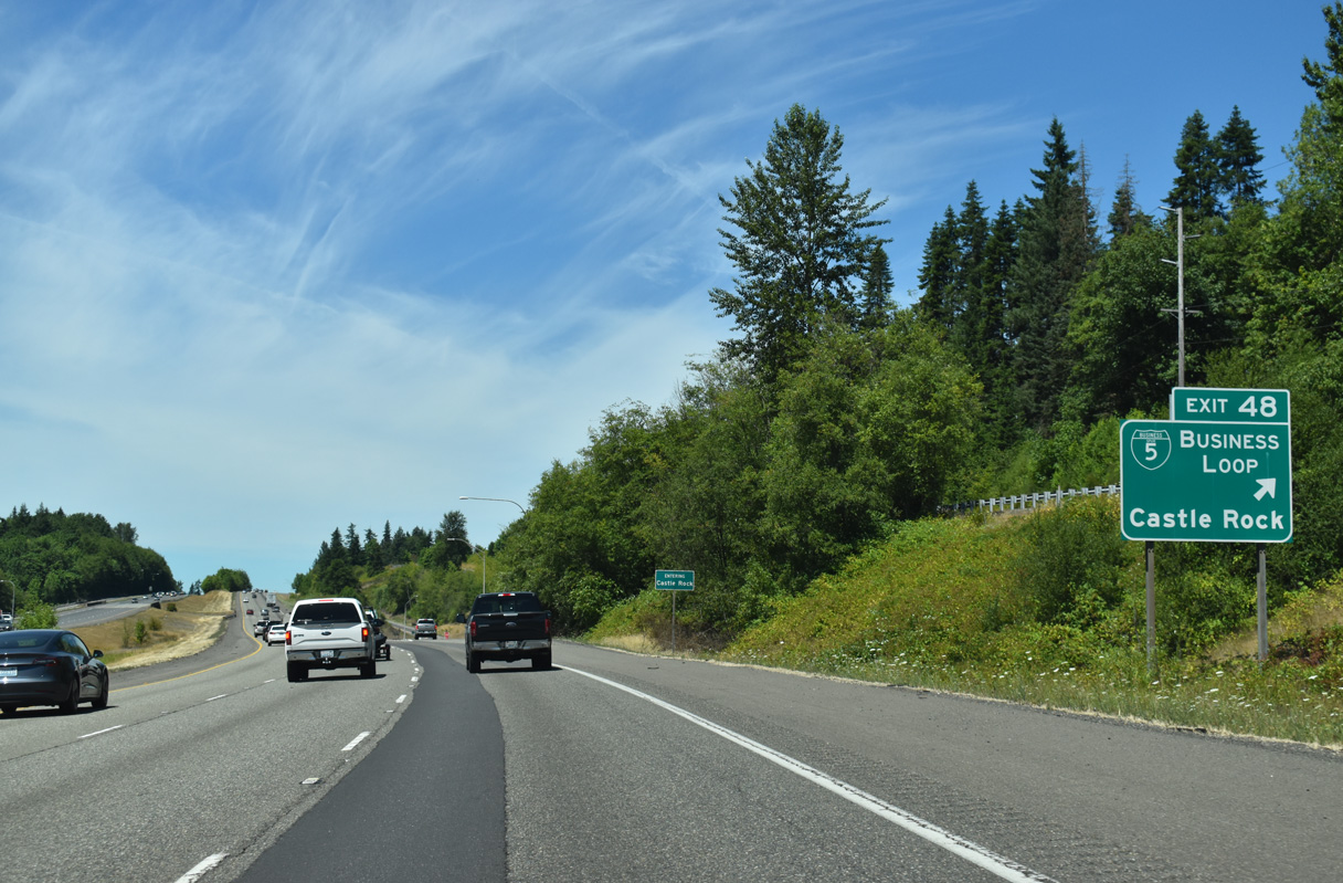
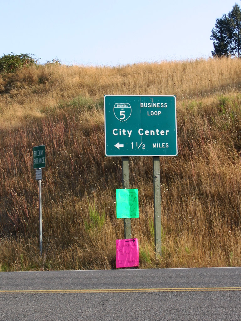
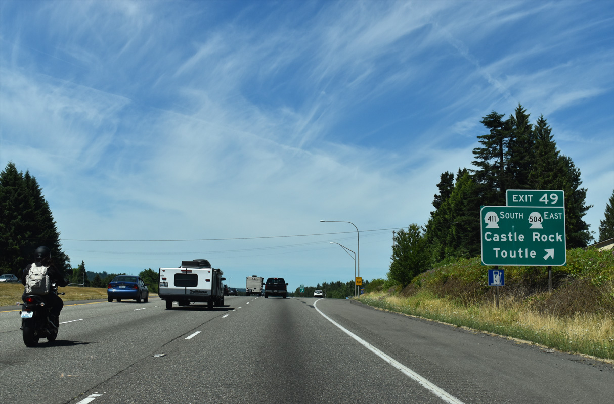
Locally maintained along Huntington Avenue S, Business Loop I-5 to Castle Rock loops diverges west from the diamond interchange at Exit 49.
07/16/23
Business Loop I-5 joins SR 411 along Huntington Avenue N at the Castle Rock city center. The two overlap 1.80 miles northeast to Interstate 5 at Exit 49.
07/16/23
Huntington Avenue S stems west from nearby Bond Road at Kalmbach Road. Business Loop I-5 north runs along the Cowlitz River at Lions Pride Park before entering the Castle Rock street grid.
07/20/23
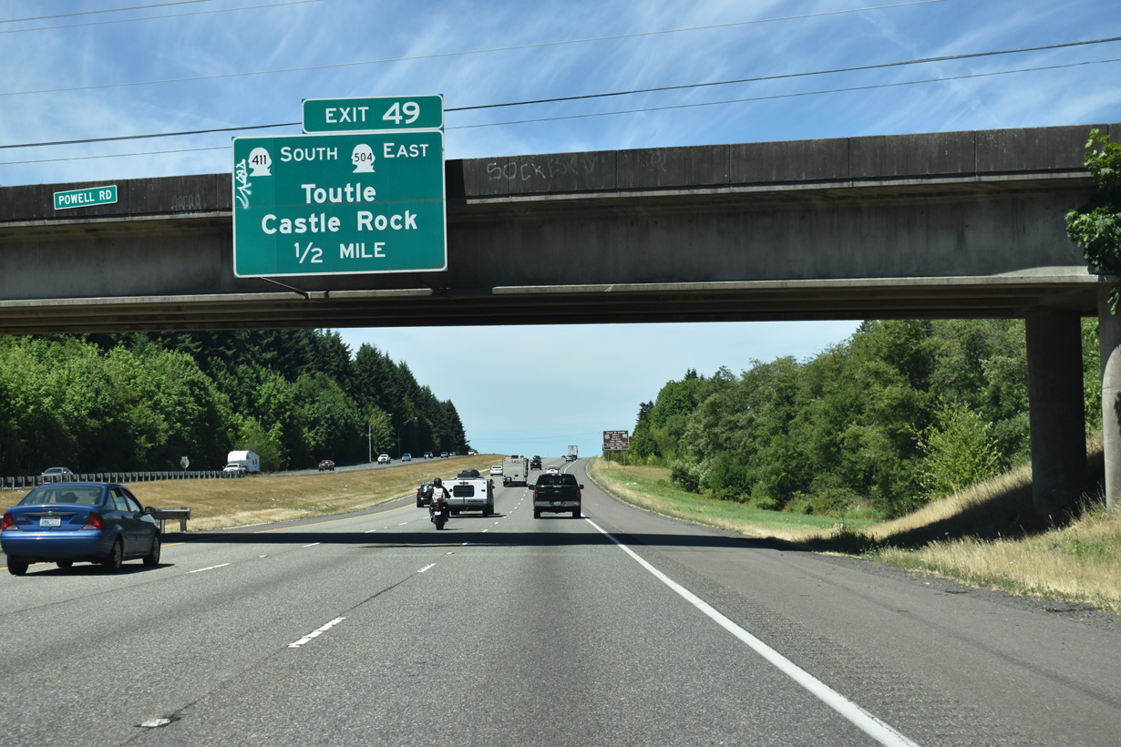
SR 411 follows the Cowlitz River north 13.48 miles from SR 432 in Longview to Exit 49, where SR 504 (Spirit Lake Memorial Highway) east to Toutle begins.
07/16/23
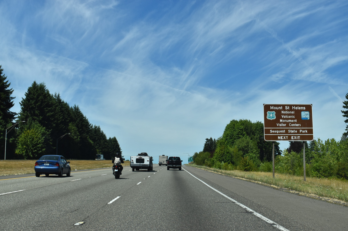
Spirit Lake Memorial Highway (SR 504) is the most tourist-friendly route to Mount Saint Helens National Volcanic Monument.
07/16/23
51.70 miles in length, SR 504 (Spirit Lake Memorial Highway) spurs east from Castle Rock into the heart of the volcanic monument, concluding at the Johnston Ridge Observatory five miles north of the volcano's crater. Mount Saint Helens is currently active, and delights visitors with periodic small eruptions of steam and ash.
07/16/23

References:
City of Kalama. (n.d.). Official website. Retrieved from http://www.cityofkalama.com/
City of Longview. (n.d.). Official website. Retrieved from http://www.ci.longview.wa.us
Photo Credits:
- Brent Ivy: 07/16/23, 07/20/23
Connect with:
Page Updated Wednesday August 27, 2025.