
Interstate 5 North - Vancouver to Woodland
The city of Vancouver was settled in 1825 when the Hudson's Bay company moved its northwest headquarters from Astoria, the town's name honors George Vancouver, a British ship captain who had visited the region in the late 1700s. Under the Hudson's Bay Company, Fort Vancouver was the center of fur trading in the Pacific Northwest. It became part of the Oregon Territory when the U.S. border was extended to the 49th parallel in 1849, and was officially incorporated as the city of Vancouver in 1857 (City of Vancouver, n.d.).
A three phase project aimed to relieve traffic congestion along the I-5 corridor between the Main Street interchange in Vancouver and the I-205 junction was completed in October 2006. Finished at that time was the $44.4 million third project widening Interstate 5 to three general travel lanes plus an auxiliary lane in each direction along a two mile stretch between NE 99th Street and NE 134th Street. Associated work also replaced the NE 129th Street overpass as well as the Salmon Creek/NE 117th Street bridges (WSDOT, 2008).
The first project built the NE 99th Street interchange and widened the associated section of I-5 in 1996. The second project expanded 2.3 miles of I-5 from 39th Street in Vancouver north to NE 99th Street. That construction wrapped up in early November 2002 (WSDOT, 2008).
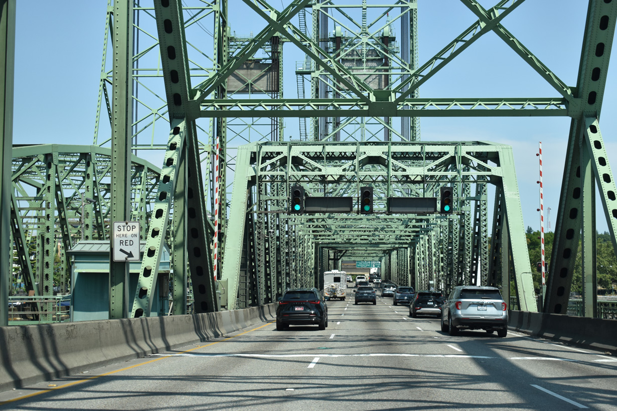
The Washington state border lines the Columbia River midway between Hayden Island and the Vancouver river side. The vertical-lift section of the Interstate Bridge is toward the north end of the span.
07/20/23
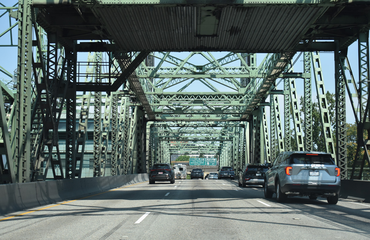
The Interstate Bridge stretches 3,538 feet across the Columbia River at a maximum height of 72 feet above the Columbia River. The northbound bridge opened to traffic in 1917. The southbound crossing opened on July 1, 1958, and both spans were tolled until 1966 construction costs were recovered ("Interstate Bridge", 2025, July 20).
07/20/23
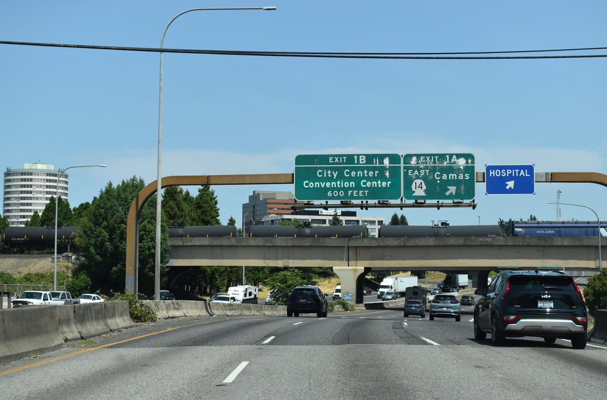
Exit 1 A to SR 14 (Lewis and Clark Freeway) departs just beyond the Interstate Bridge. The freeway parallels the Columbia River 12 miles east to city of Camas.
07/20/23
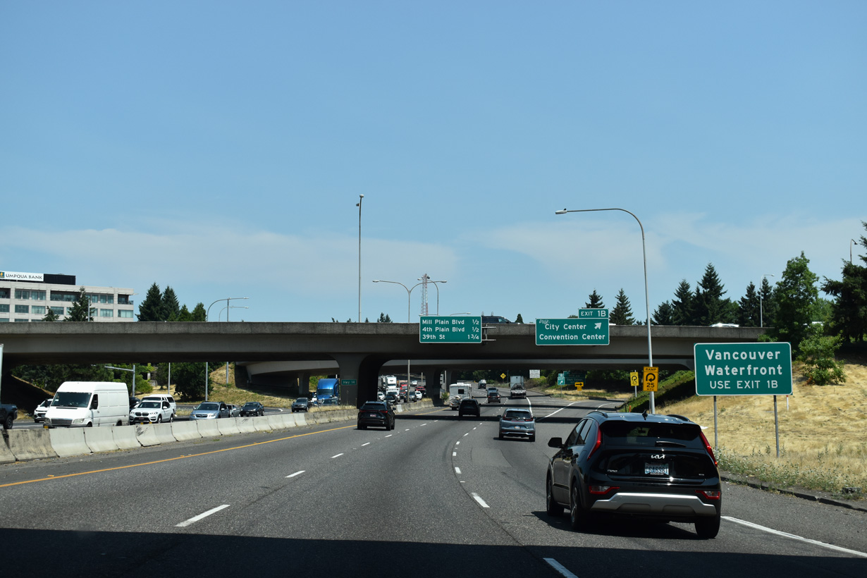
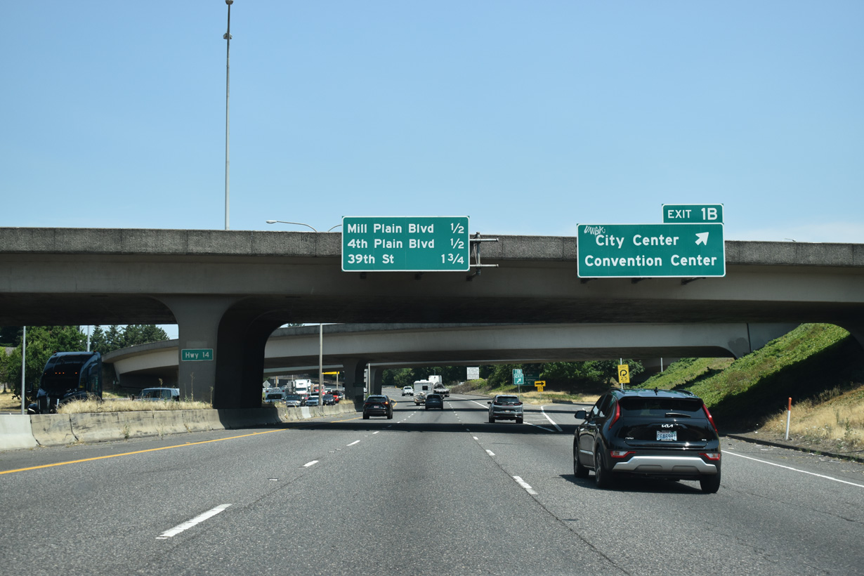
Exit 1 B follows from I-5 north to the Vancouver city center and the Vancouver Waterfront. The mixed-use development along the Columbia River west of the Interstate Bridge was the site of the Michigan Mill, which operated from 1889 to 2006. The property was purchased for redevelopment in 2008 (City of Vancouver, 2024).
07/20/23
The ramp at Exit 1 B constitutes a near 360-degree loop, combining with an exit ramp from the west end of SR 14 ahead of C Street in Downtown Vancouver.
07/20/23
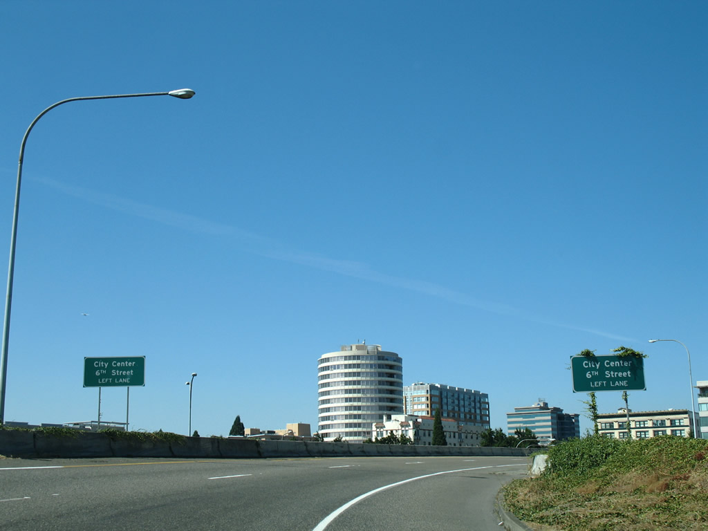
The ramps from Exit 1 B and SR 14 west combine ahead of the left turn onto 6th Street into the Vancouver city center. These signs were amended by 2019 to display Waterfront in place of 6th Street.
08/27/06
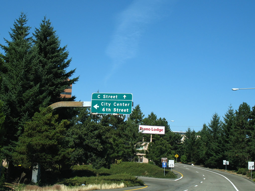
C Street extends north from Exit 1 B to Evergreen Boulevard for Fort Vancouver National Historic Site east of I-5 and SR 501 (Mill Plain Boulevard / 15th Street).
08/27/06
The stretch of I-5 through Vancouver has a markedly different feel from the narrow right of way through Portland. The freeway is at least six lanes wide and long, multi-lane exit ramps provide access to surface streets.
07/20/23
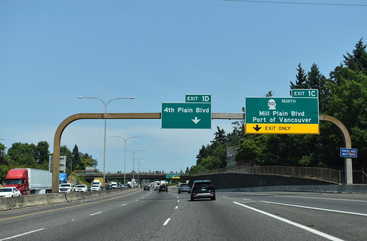
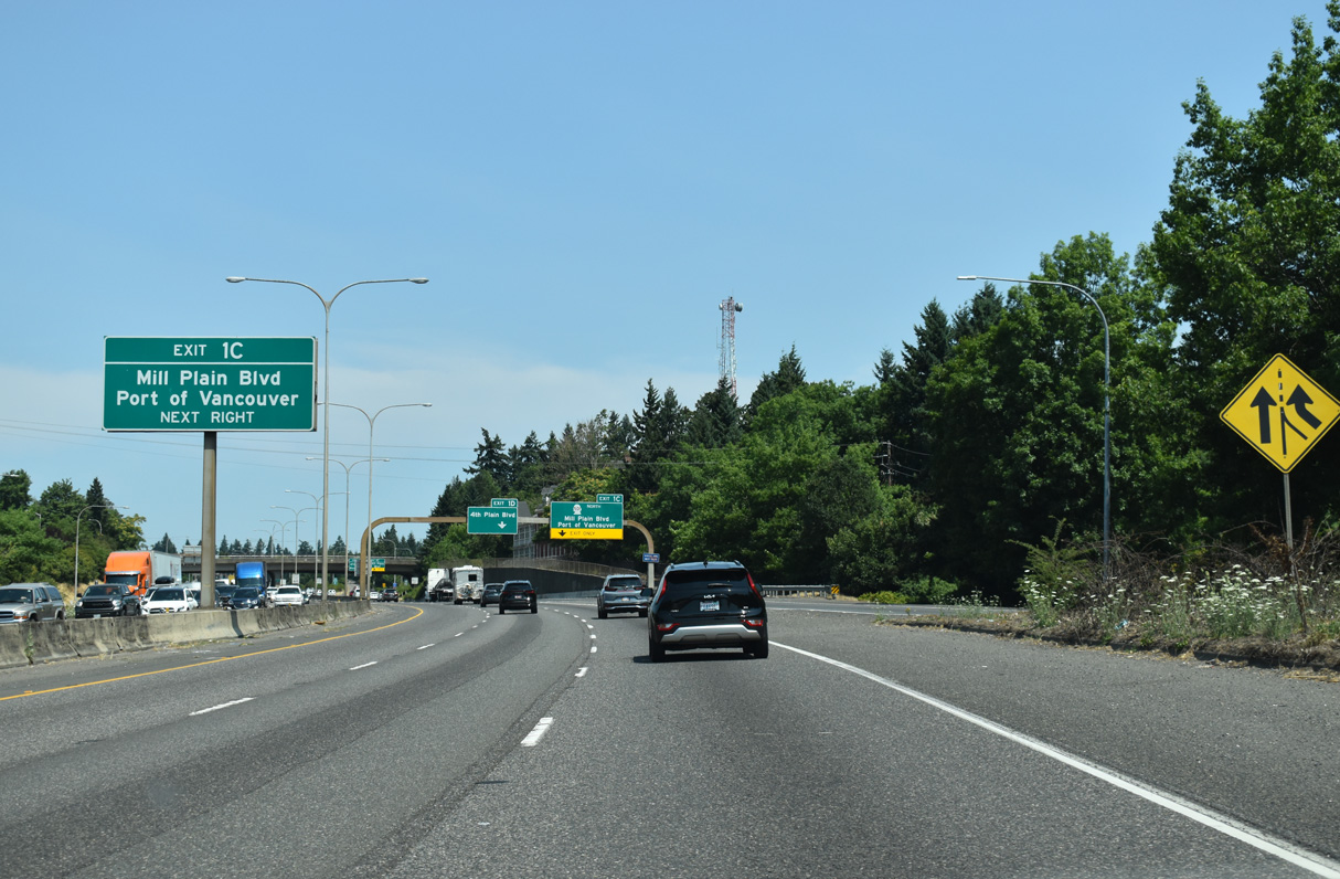
Exits 1 C to Mill Plain Boulevard / Port of Vancouver and 1 D to 4th Plain Boulevard depart simultaneously within a quarter mile from this arched sign bridge. The arch theme of the sign bridges is echoed by the simple curved shapes of the double arm street lamps that line the median.
07/20/23
Exit 1 C is a diamond interchange joining I-5 with Mill Plain Boulevard. Leading to the Port of Vancouver, SR 501 follows 15th Street west through Downtown. Mill Plain Boulevard east runs between Central Park and Fort Vancouver National Historic Site.
07/20/23
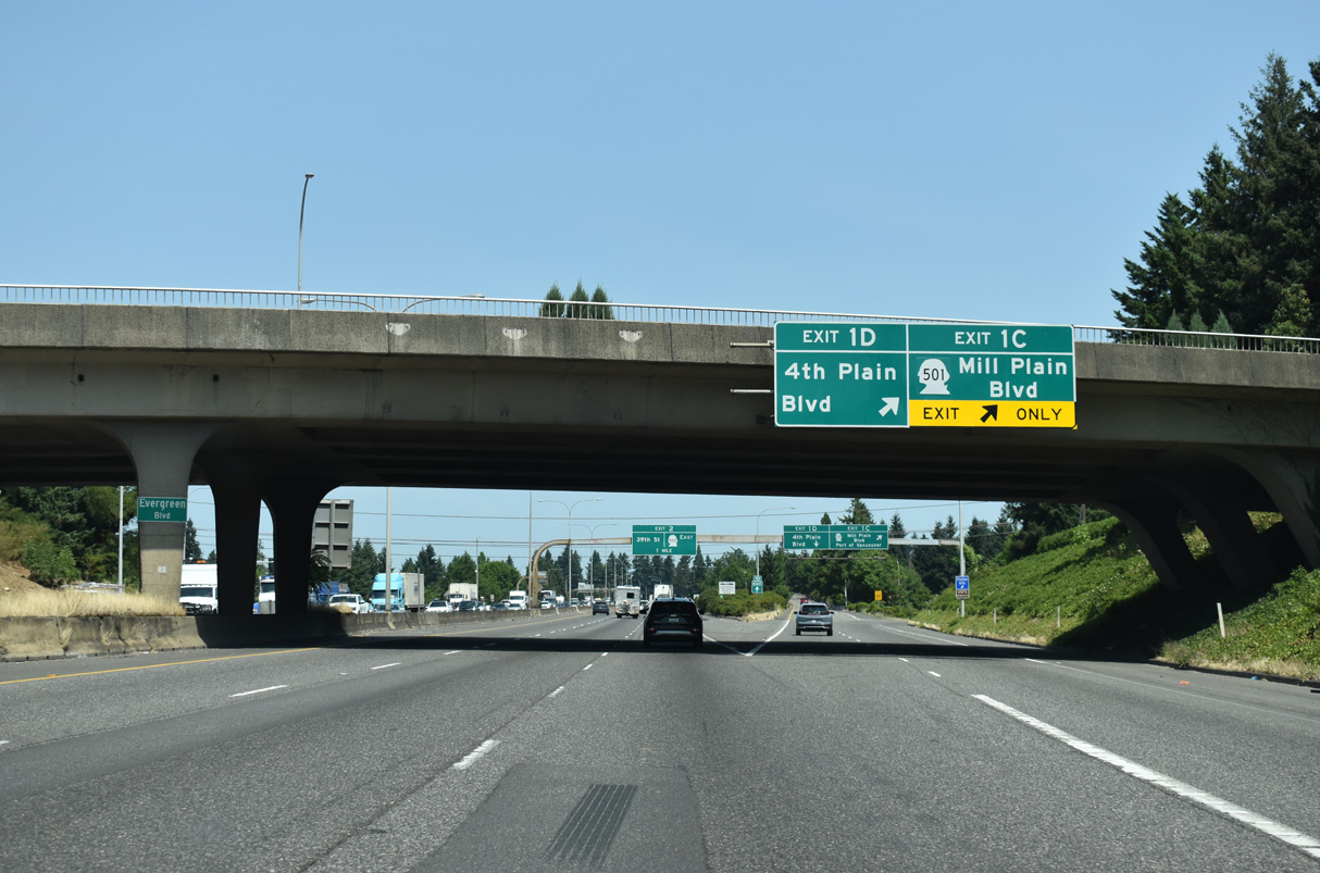
Exit 1 D forms a long distributor lane north across Mill Plain Boulevard to the parclo interchange with Fourth Plain Boulevard.
07/20/23
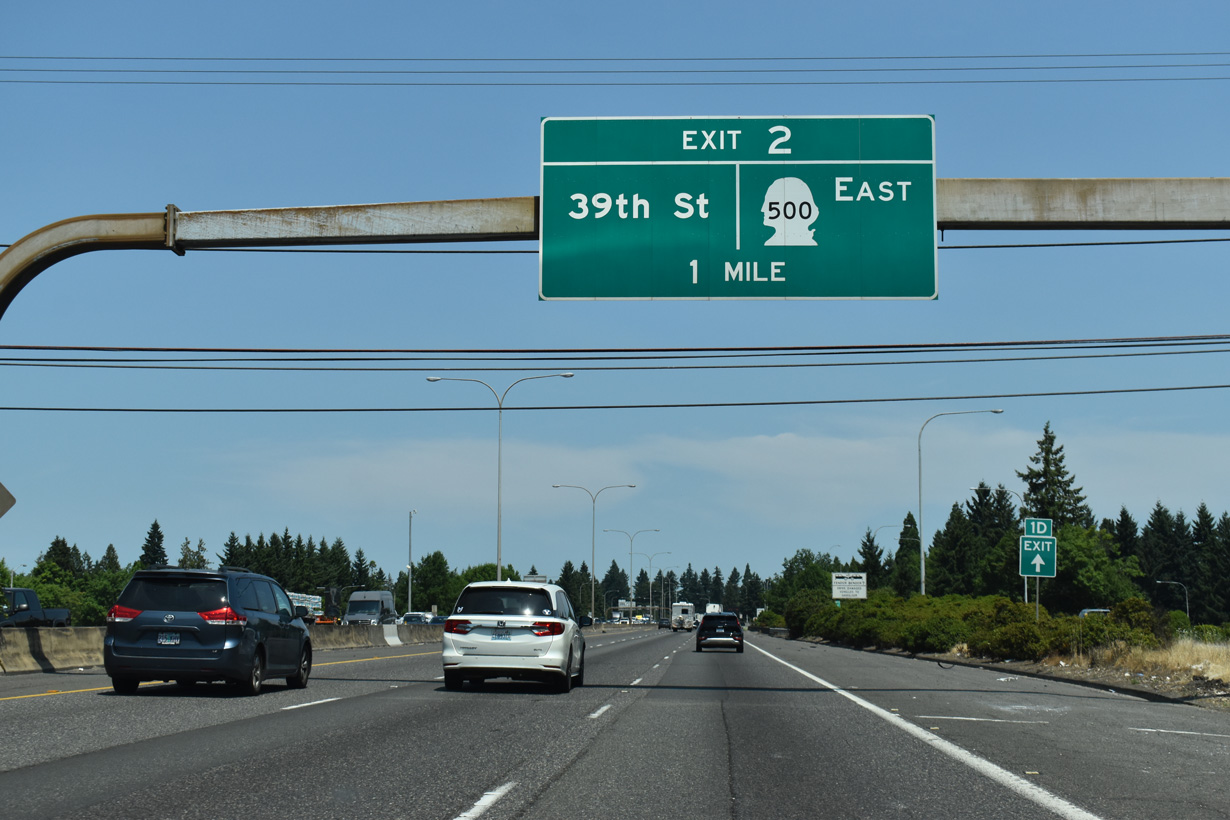
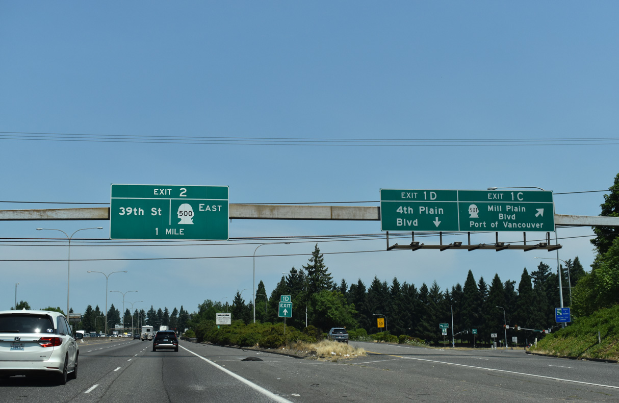
The freeway along SR 500 commences east from the wye interchange at forthcoming Exit 2.
07/20/23
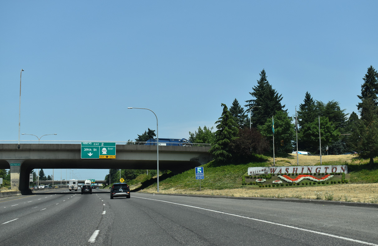
The Washington welcome sign for Interstate 5 north is part of the landscaping within the exchange at Fourth Plain Boulevard.
07/20/23
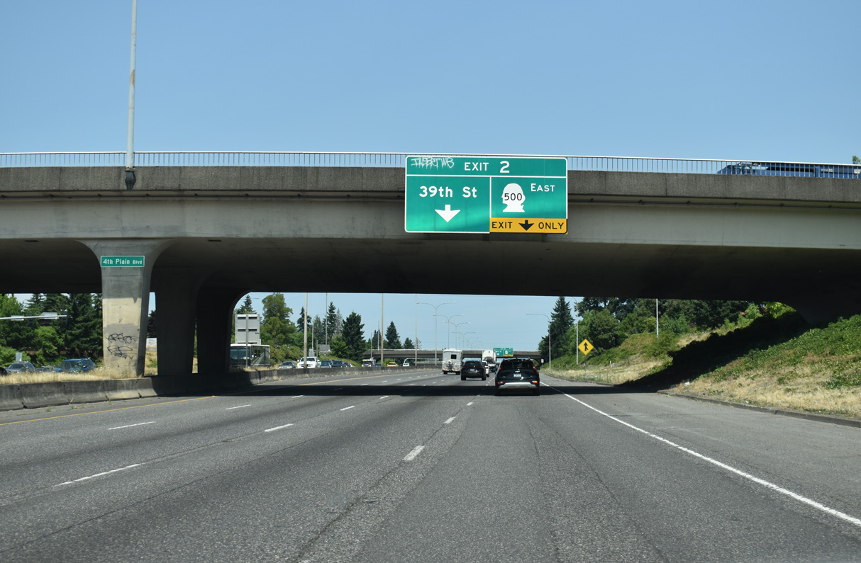
Ramps at the parclo interchange with E 39th Street tie into SR 500 at Exit 2. 39th Street is a minor arterial west to the Lincoln neighborhood and east to Rose Village.
07/20/23
SR 500 is a freeway stretching six miles east across Vancouver to Fourth Plain Boulevard. 2011/12 construction upgraded the signalized intersection along SR 500 with St. Johns Boulevard into and interchange, and cross traffic was eliminated from the succeeding traffic lights with the conversion into RIRO intersections.
07/20/23
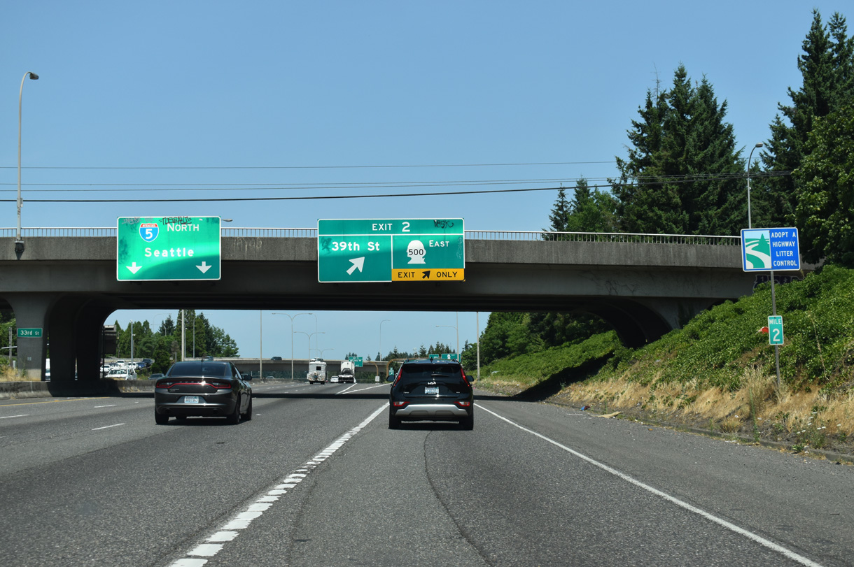
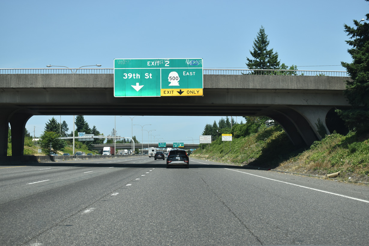
Previous guide signs for Exit 2 referenced Orchards as the destination city for SR 500 East. The heavily populated unincorporated community spreads to the northeast of the Vancouver city limits.
07/20/23
Main Street heads north between the Lincoln and Shumway neighborhoods in Vancouver to become NE Highway 99 (former U.S. 99) at Interstate 5. North into the large unincorporated community of Hazel Dell, the arterial expands into a five lane, commercial boulevard.
11/19/05
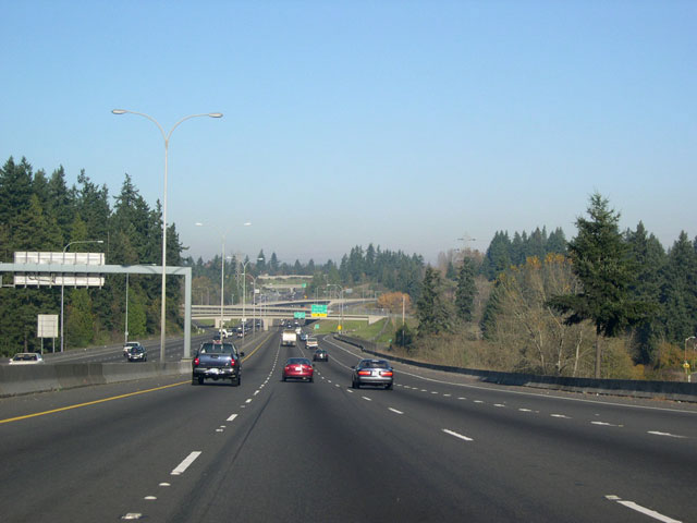
Past Exit 2, I-5 northbound crosses Burnt Bridge Creek and the broad, shallow "canyon" that runs northwest to southeast through much of Vancouver. Designated as the Burnt Bridge Creek Greenway, this swath of intermittently forested and open land boasts miles of hiking and biking trails.
11/19/05
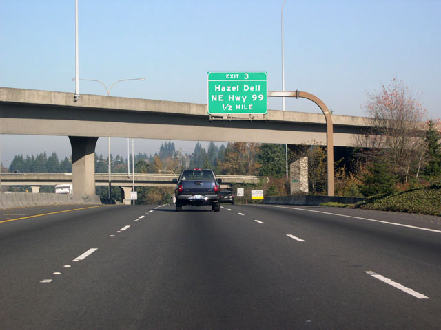
Sign changes made for Exit 3 in 2008 removed Hazel Dell. A pedestrian bridge that is part of the Burnt Bridge Greenway network of trails spans I-5 beyond the gore point for Exit 3.
07/20/23
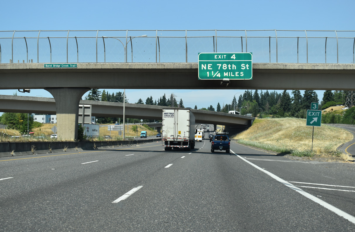
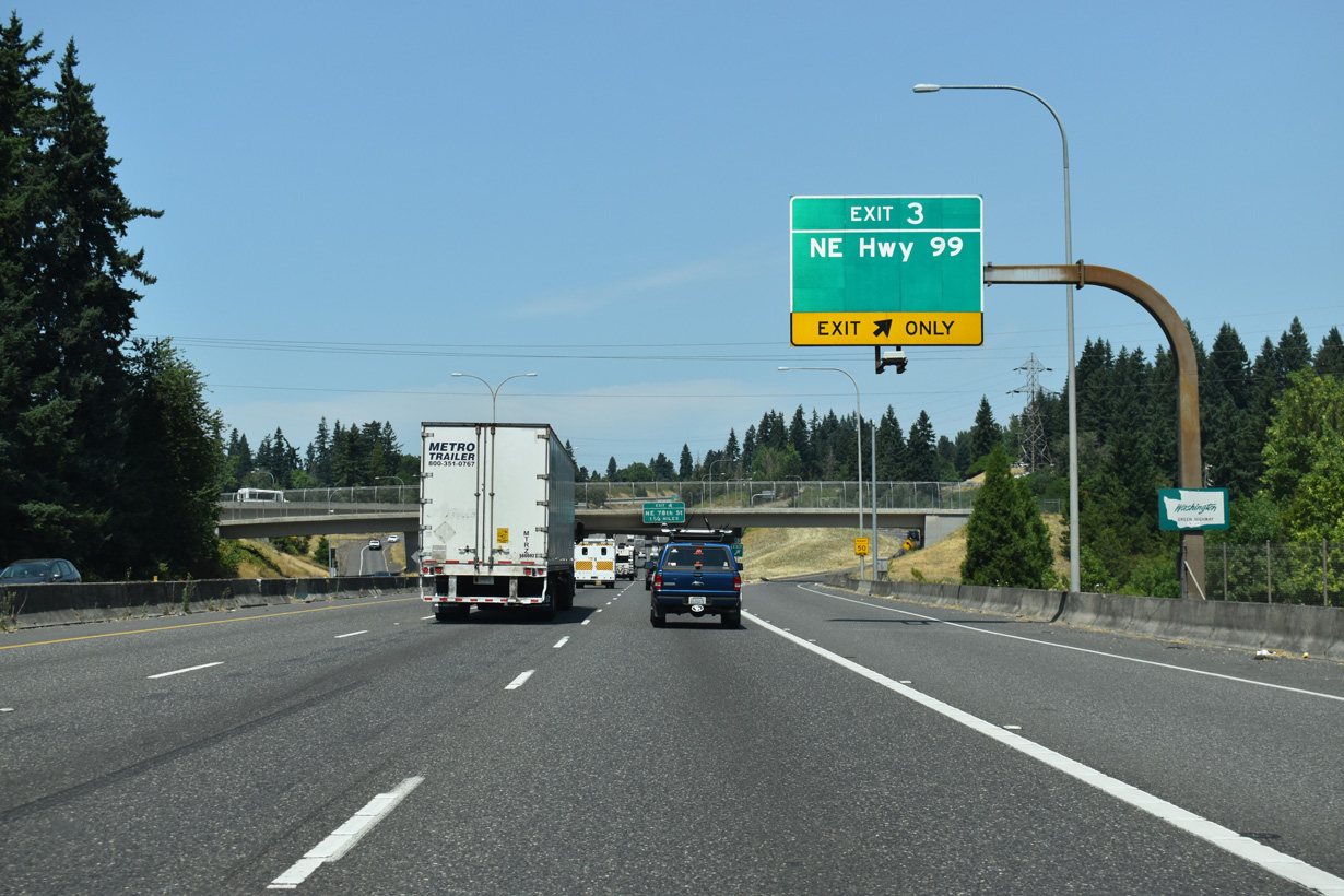
The ensuing exit from Interstate 5 north of the overlapping wye interchanges with Main Street / NE Highway 99 is for NE 78th Street in Hazel Dell.
07/20/23
I-5 leaves the Vancouver city limits at the Portland Vancouver Junction Railroad (formerly the Longview, Portland, and Northern) overpass. The high-voltage power lines and towers visible along this stretch connect with the Bonneville Power Administration's Ross Complex substation in Hazel Dell.
07/20/23
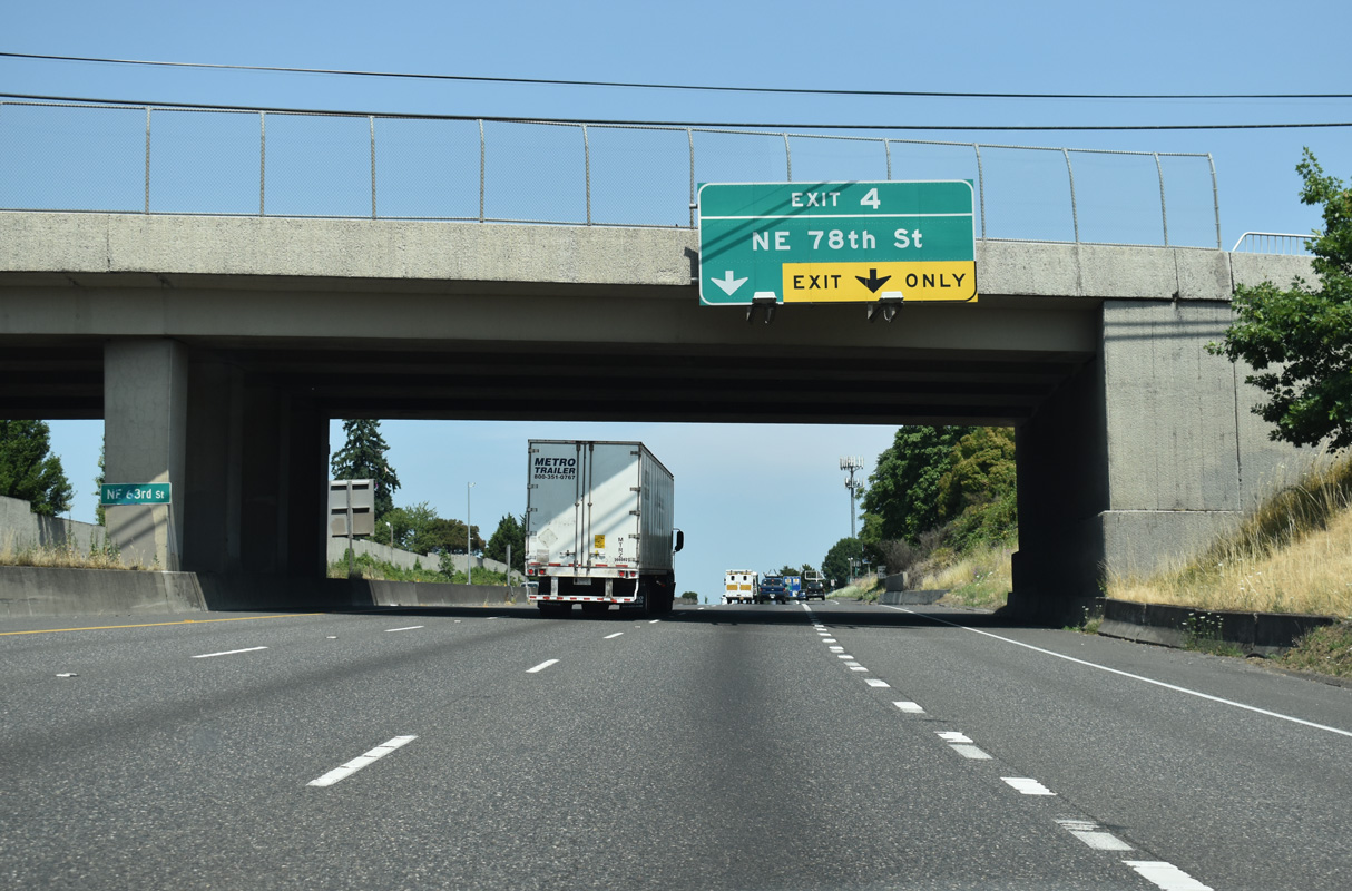
NE 63rd Street spans Interstate 5 just south of the single point urban interchange (SPUI) with NE 78th Street.
07/20/23
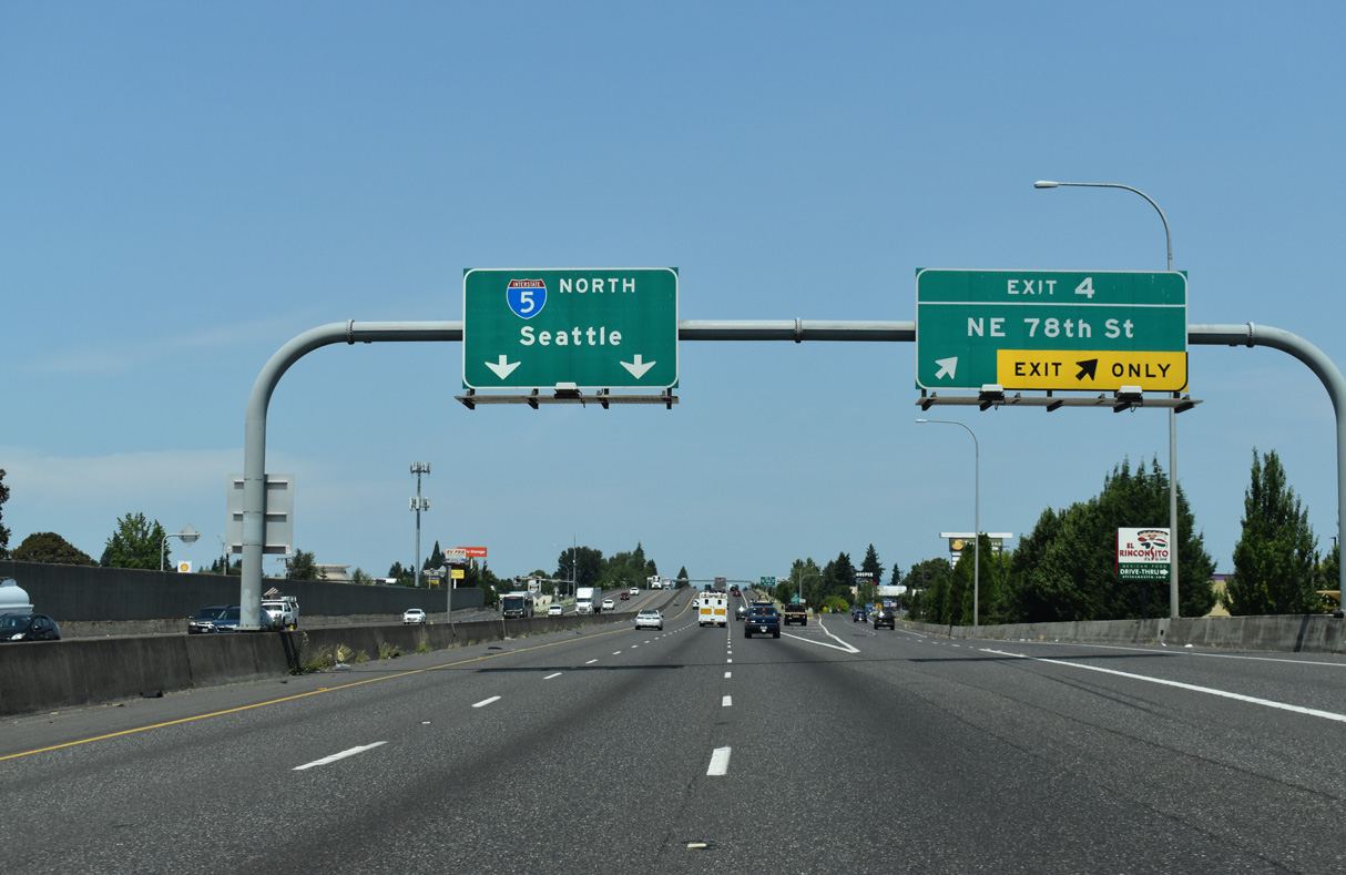
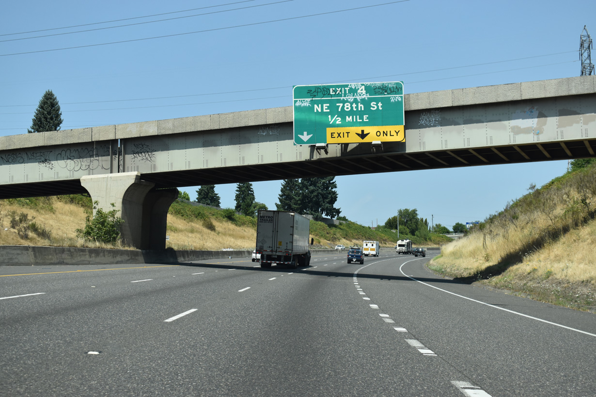
NE 78th Street meets Interstate 5 at Exit 4 adjacent to Hazel Dell Marketplace, Hazel Dell Square and other retail.
07/20/23
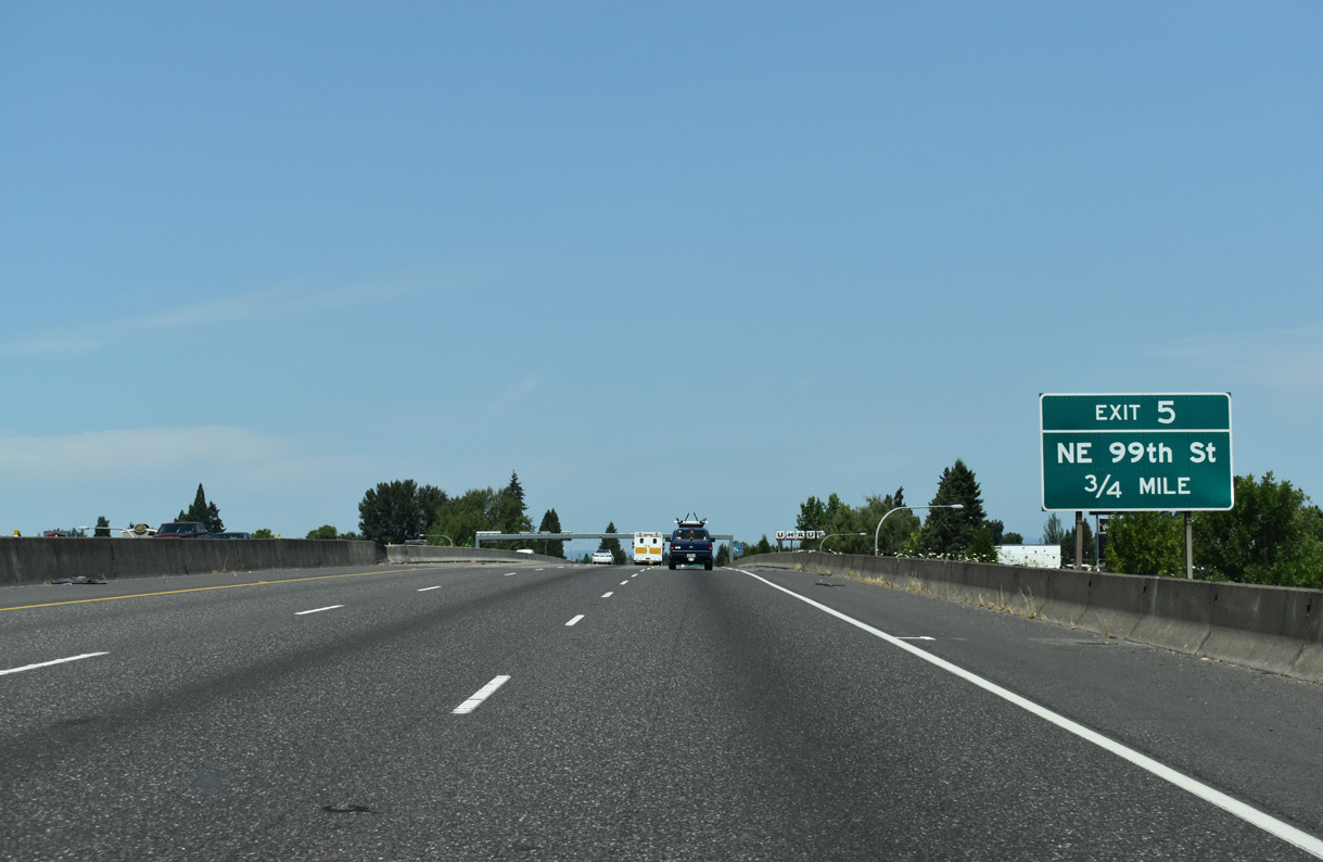
NE 99th Street is a suburban boulevard west to the census designated place of Lakeshore and east to the St. John neighborhood in south Barberton.
07/20/23
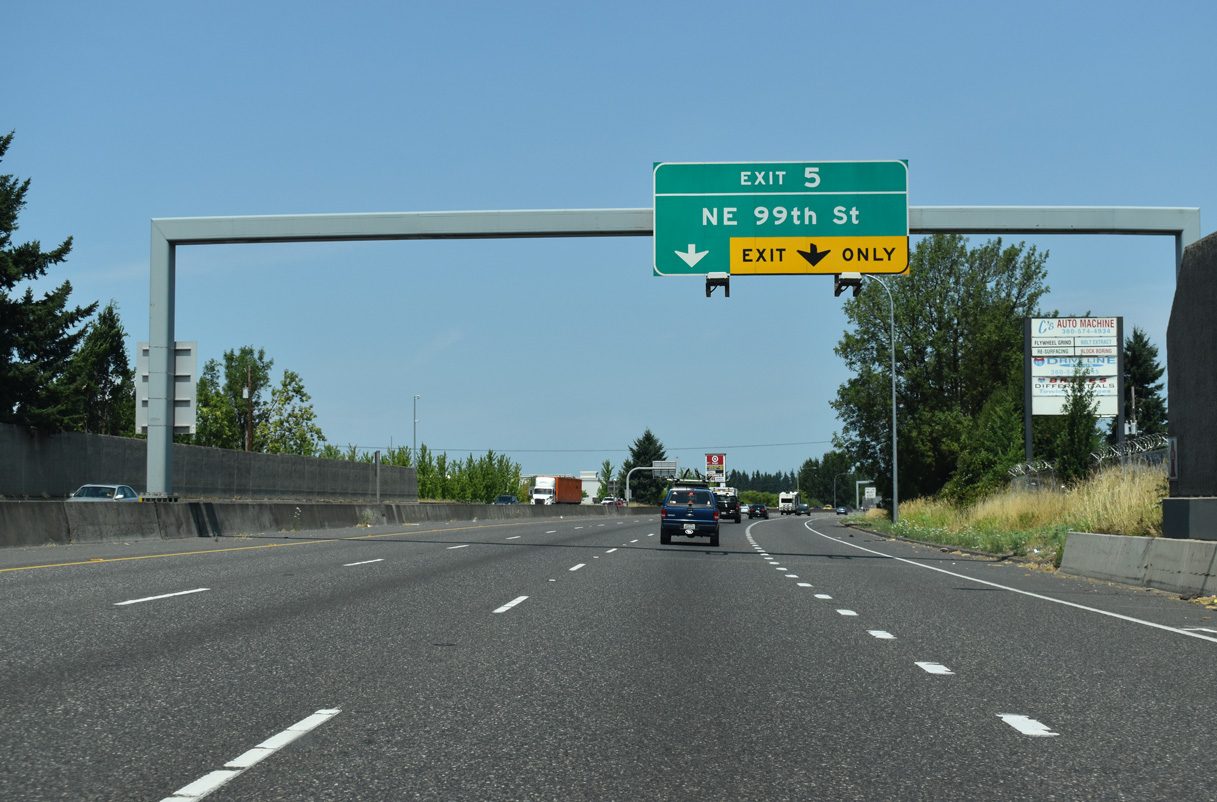
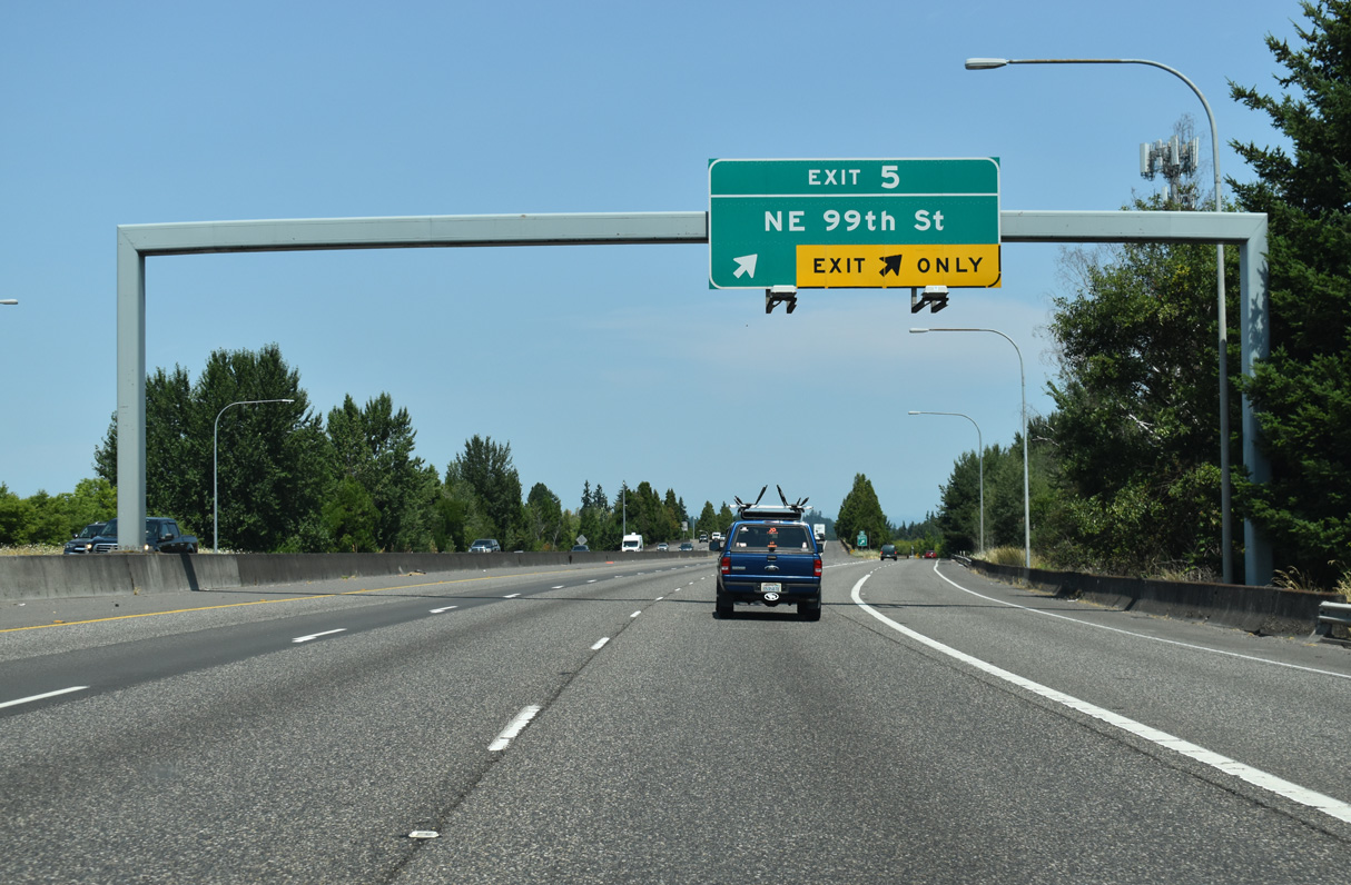
I-5 passes Hazell Dell Town Center and other retail to Exit 5 in north Hazell Dell.
07/20/23
Interstate 5 proceeds 0.75 miles north from NE 78th Street to a SPUI (Exit 5) with NE 99th Street.
07/20/23
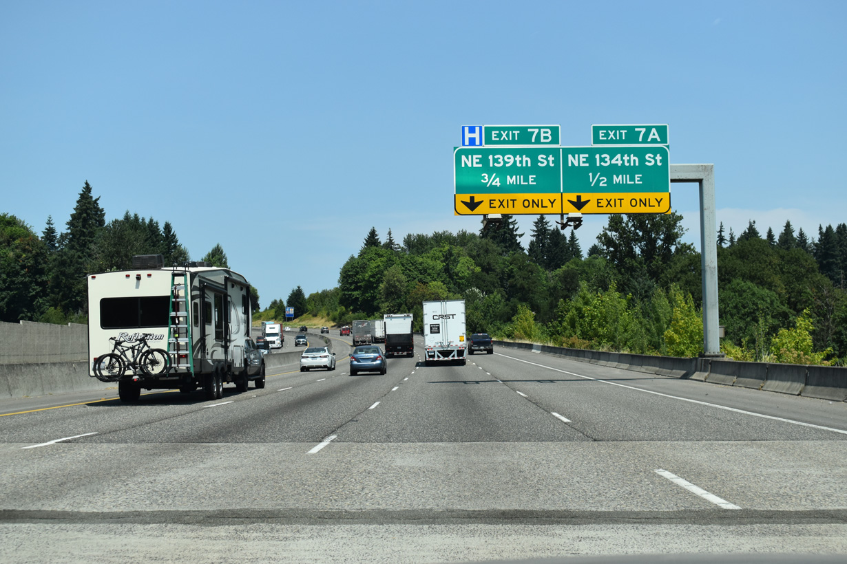
Interstate 5 crosses NE 117th Street and Salmon Creek at Salmon Creek Regional Park, 0.5 miles ahead of succeeding half diamond interchanges with NE 134th Street and NE 139th Street.
07/20/23
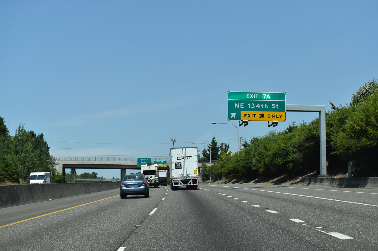
NE 134th Street provides part of a Breezewood connection linking I-5 north with Interstate 205 south.
07/20/23
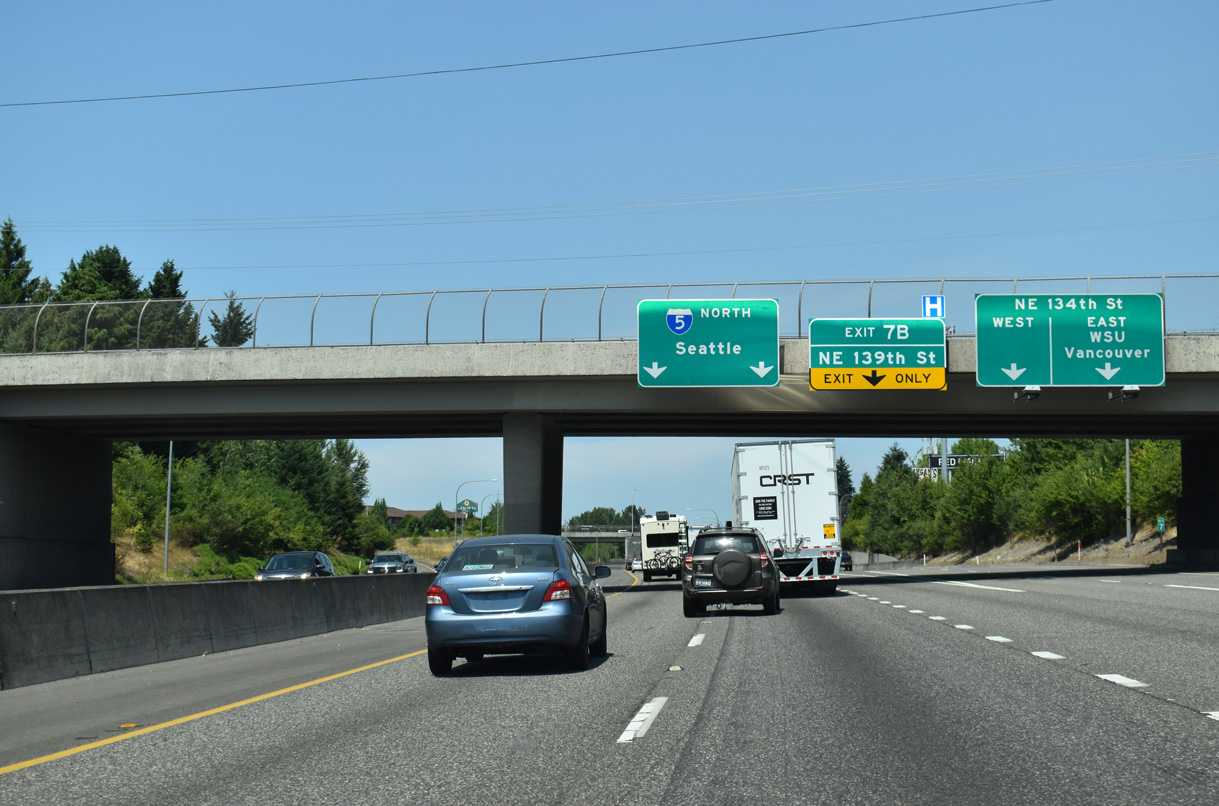
East of Interstate 205, NE 134th Street becomes NE Salmon Creek Avenue north to the Washington State University (WSU) Vancouver campus. NE 134th Street west becomes Tenney Road ahead of NE 139th Street.
07/20/23
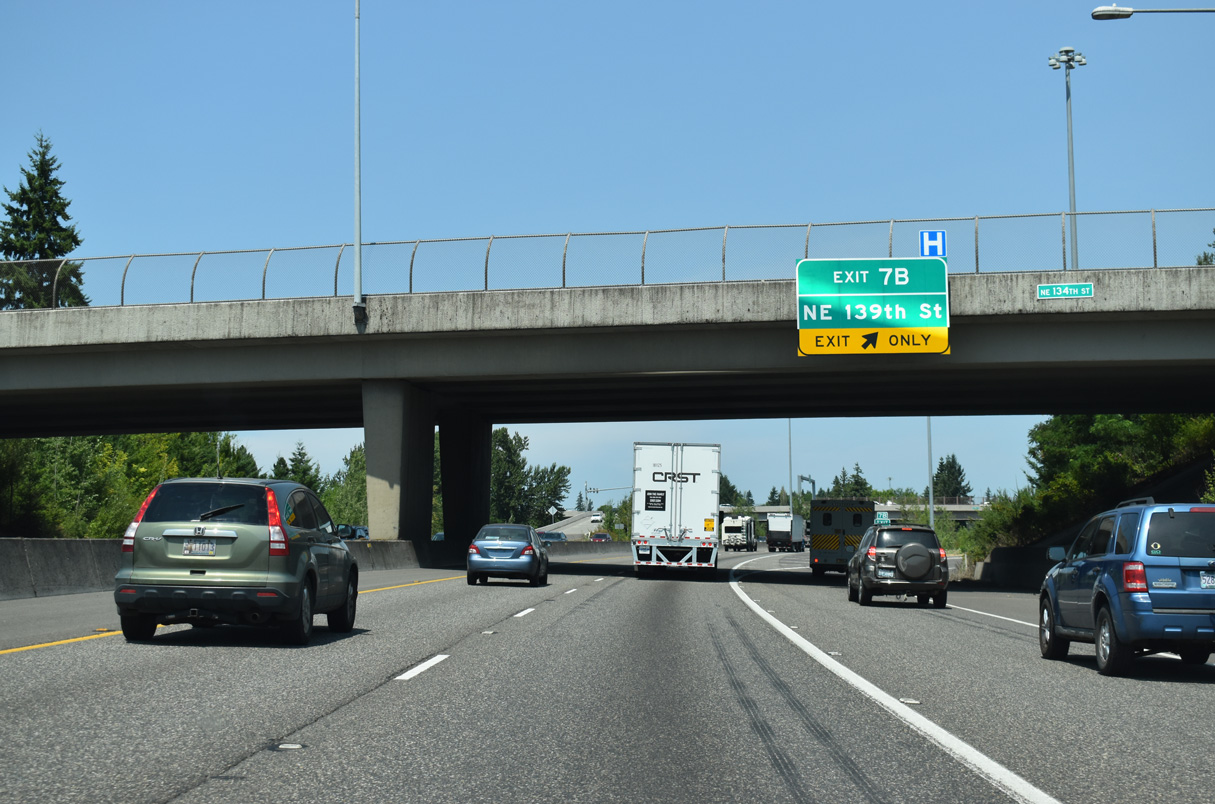
NE 139th Street serves an array of business parks and a hospital to the east while the five lane boulevard west serves a trio of schools.
07/20/23
The north end of I-205, the eastern bypass through the Portland metropolitan area, converges with Interstate 5 at Salmon Creek. Four northbound lanes continue to Exit 9 with NE 179th Street.
07/16/23
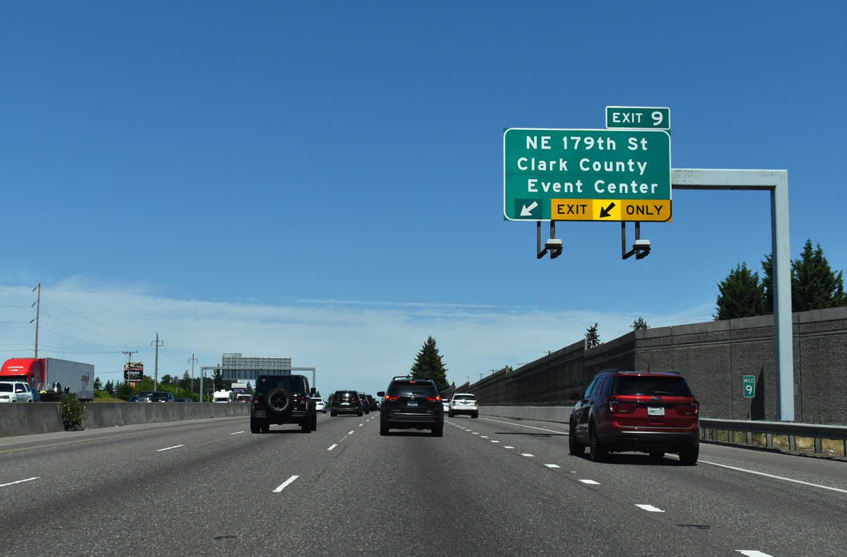
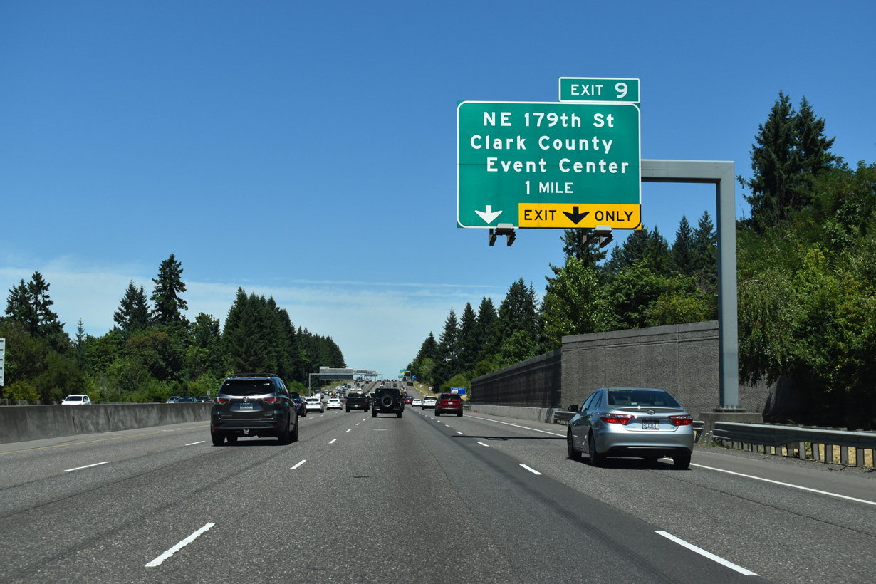
Previous guide signs referenced SR 502 and Ball Ground for Exit 9. SR 502 formerly ran north from Exit 9 along NE 10th Avenue to NE 219th street. The alignment changed when an extension of SR 502 west from Duluth to a new interchange at I-5 by the Gee Creek Rest Area opened in October 2008.
07/16/23
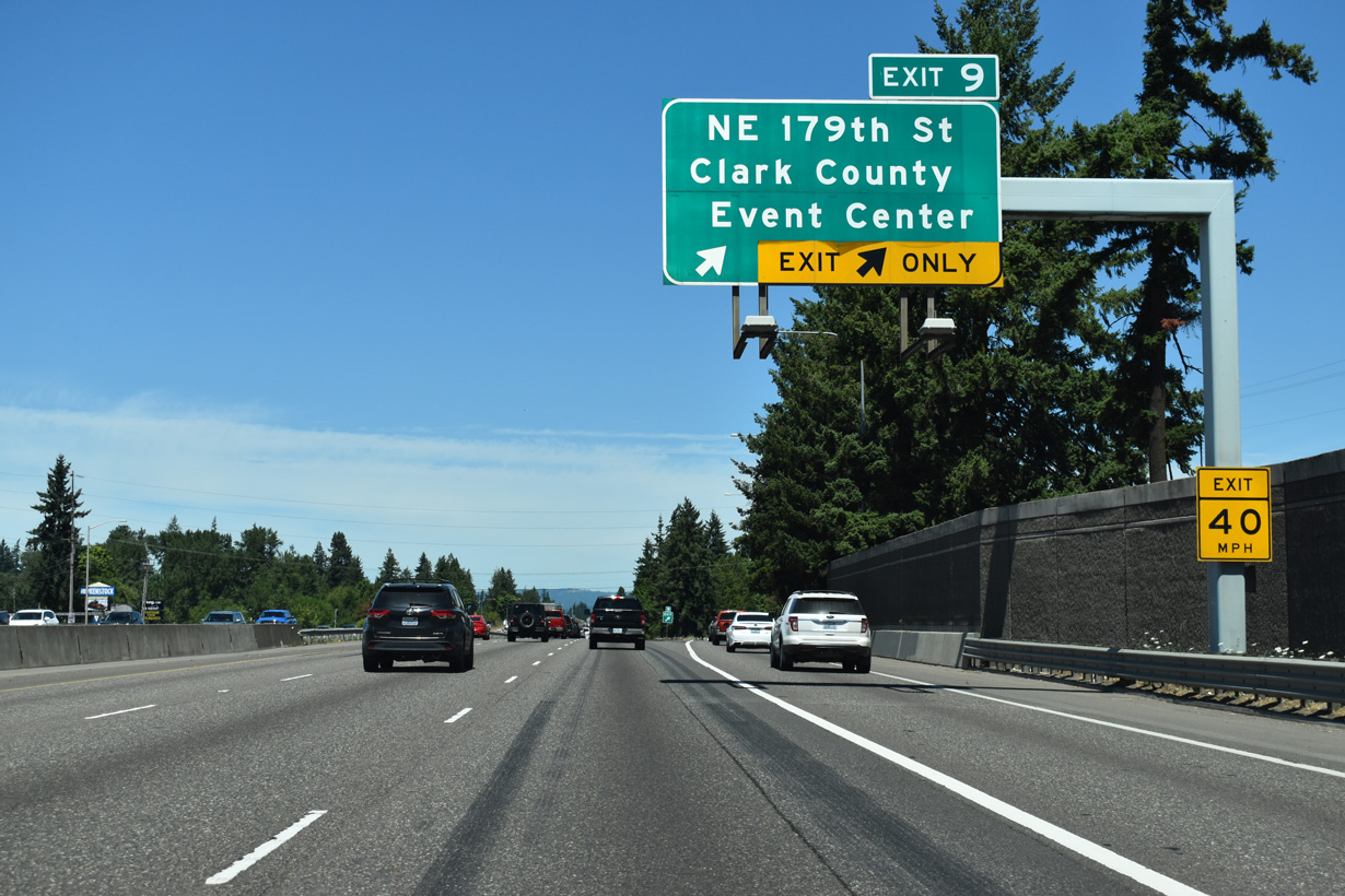
The Clark County Fairgrounds are southwest of the diamond interchange at Exit 9 off NE 179th Street. The complex houses the Clark County Event Center and Cascades Amphitheater.
07/16/23
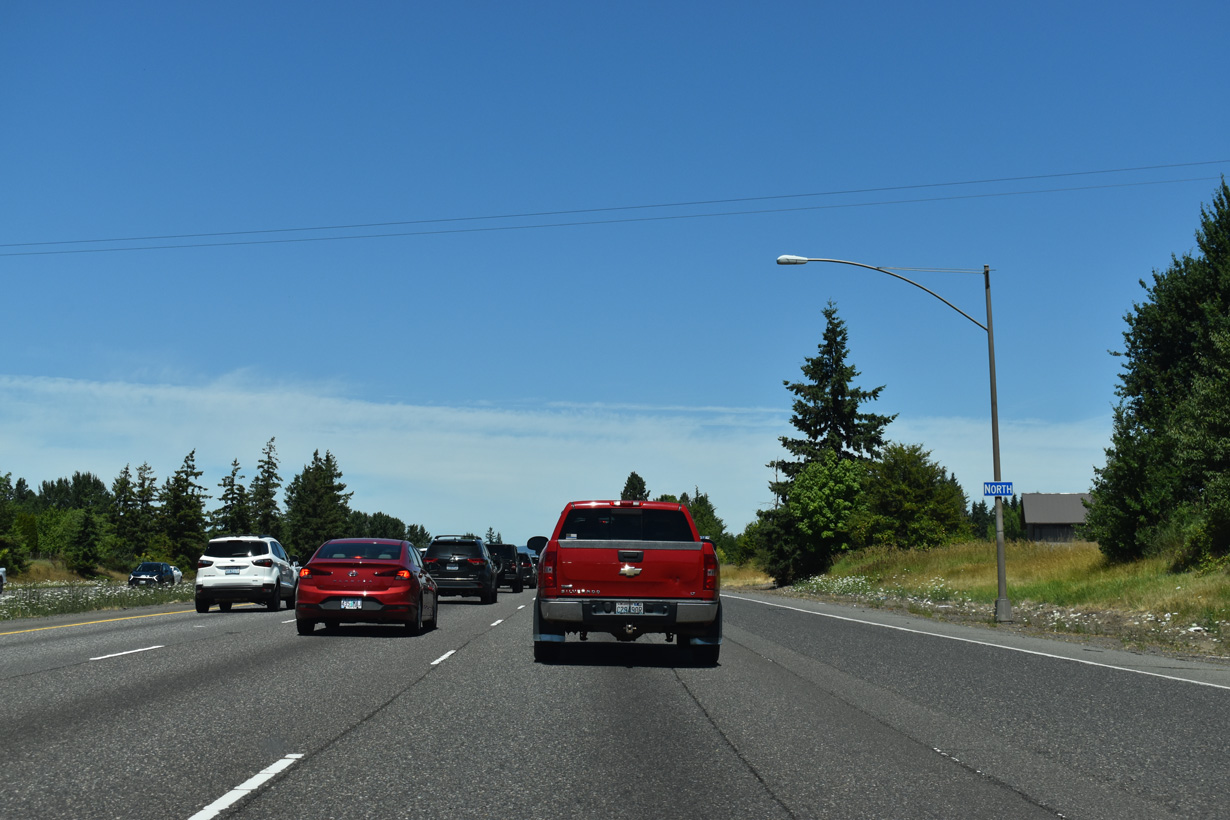
The Interstate 5 confirming marker north of Exit 9 was gone by 2023. It had not been replaced as of April 2025.
07/16/23
Interstate 5 leaves the greater Portland metropolitan area behind at Exit 9 and the landscape becomes more rural northward to the Geek Creek Rest Area.
07/20/23
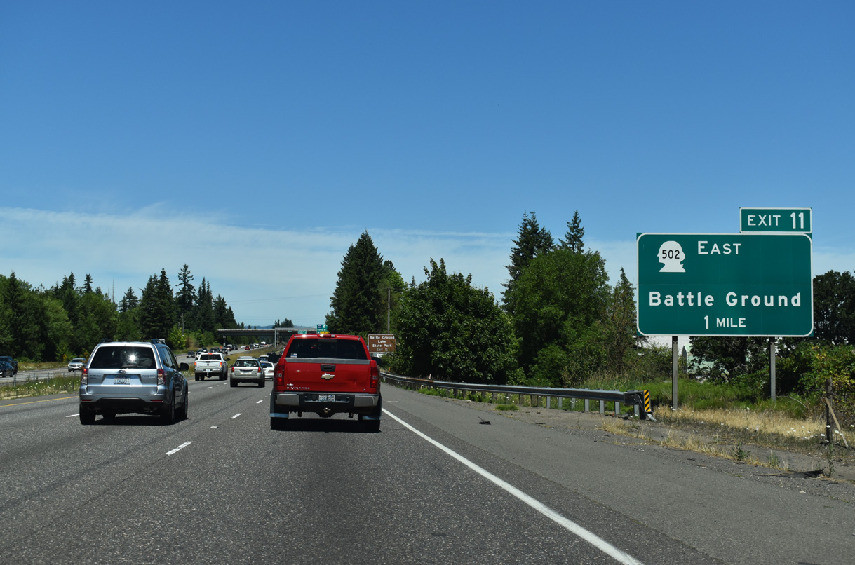
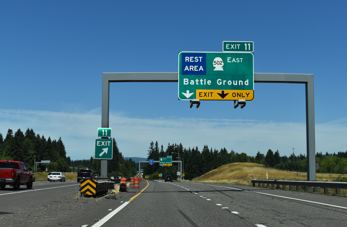
SR 502 (NE 219th Street) stems east to the city of Ball Ground from Interstate 5 at Exit 11.
07/16/23
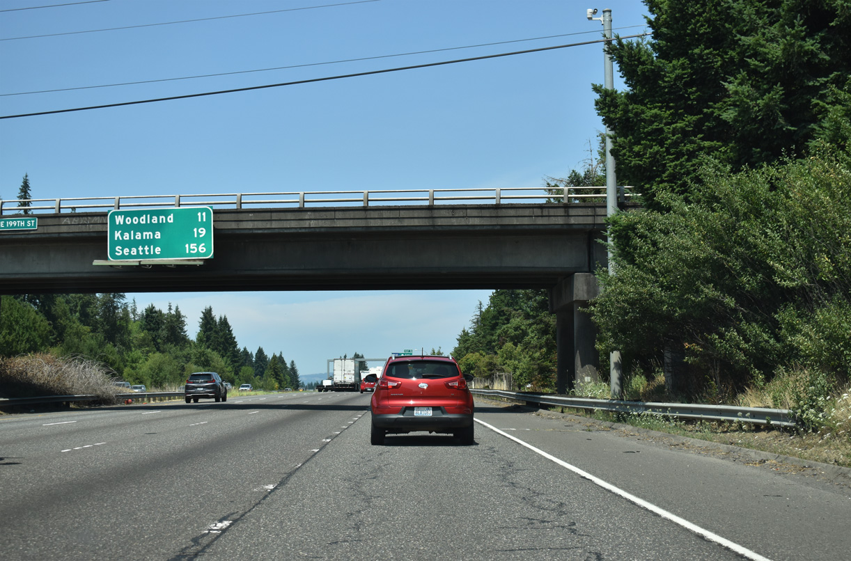
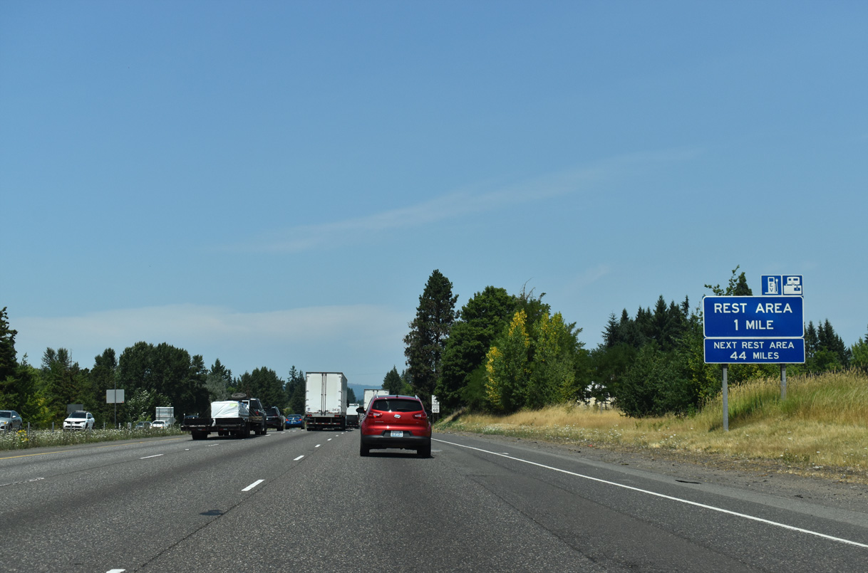
The distance sign for Woodland, Kalama, and Seattle is posted on the 199th Street overpass. A rest area next right sign was previously posted next to it.
07/20/23
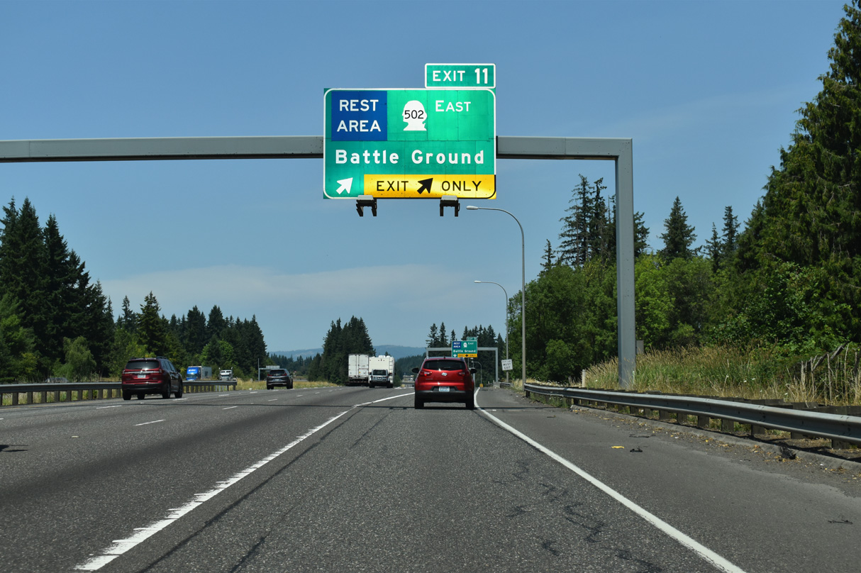
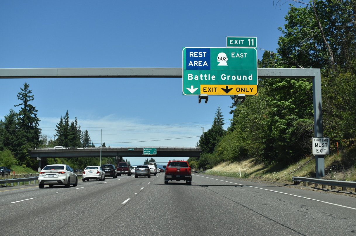
A distributor roadway separates at Exit 11 for both SR 502 (NE 219th Street) east and the Gee Creek Rest Area.
07/20/23
Measuring 6.12 miles in length, SR 502 is a four lane arterial linking Interstate 5 with SR 503 (SW 10th Avenue) in Battleground.
07/16/23
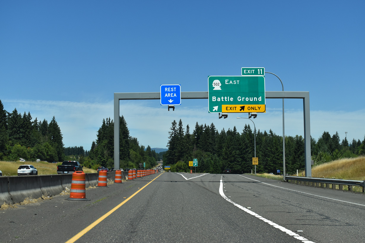
The Gee Creek Rest Area lies within the parclo A2 interchange (Exit 11) with SR 502 adjacent to Gee Creek.
07/16/23
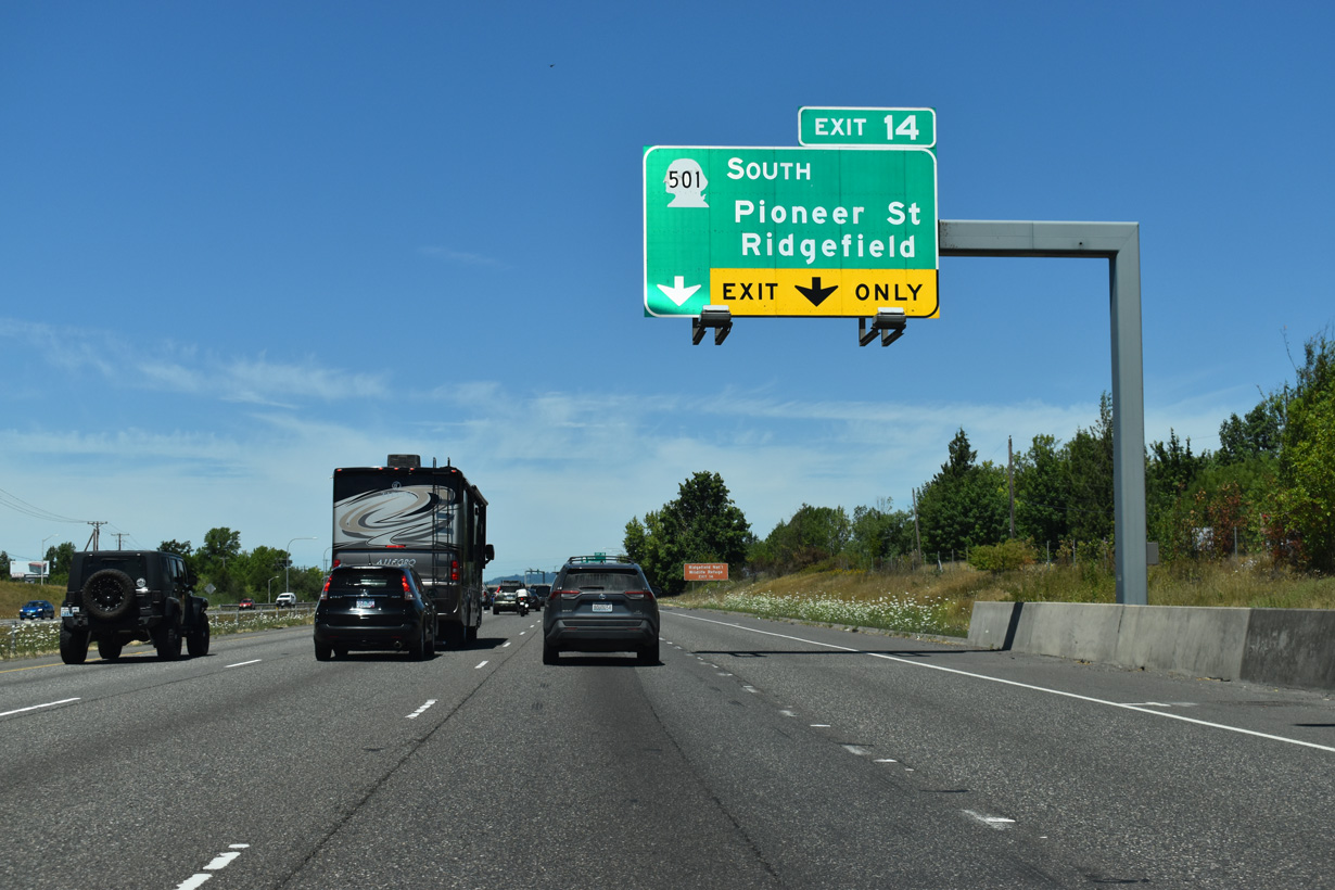
The northern leg of SR 501 spurs 2.97 miles west along Pioneer Street from Exit 14 to Downtown Ridgefield.
07/16/23
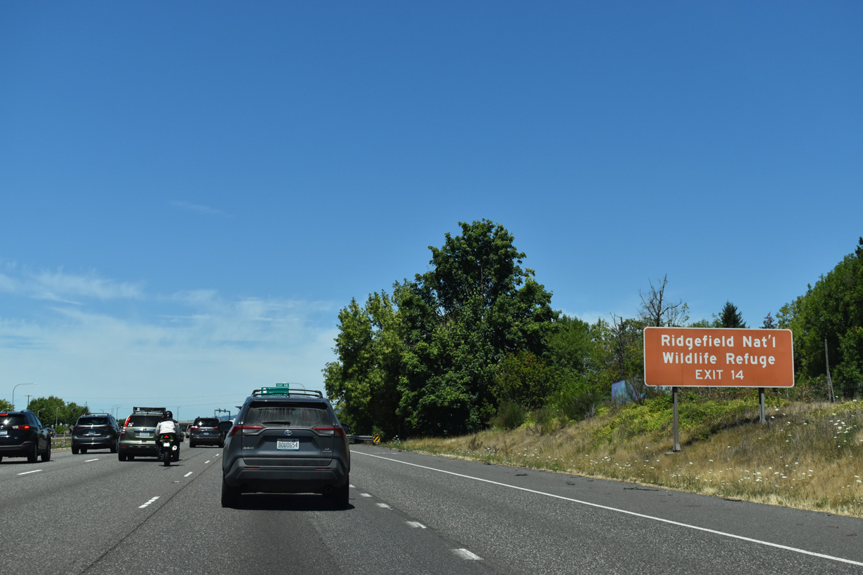
Located off NW Main Avenue, the Ridgefield National Wildlife Refuge is a 5,150-acre site of marshes, forests, and grasslands that borders the town's western edge along the Columbia River. Established in 1965, the site was created to provide winter habitat for migratory waterfowl (US Fish & Wildlife Service, n.d.).
07/16/23
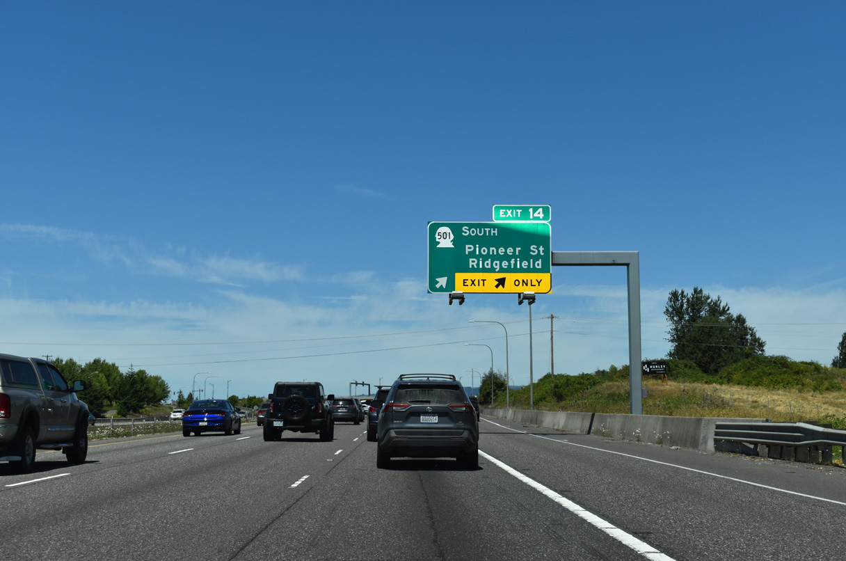
Interstate 5 enters the city of Ridgefield ahead of the diamond interchange (Exit 14) with Pioneer Street and SR 501 west. Annexations fueled rapid suburban growth of the city. The population was 2,147 as of the 2020 Census and was estimated at 15,027 as of 2023.
07/16/23
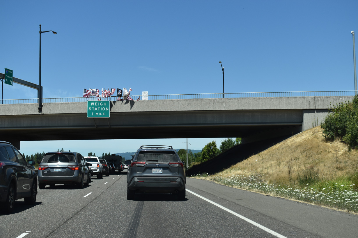
The Ridgefield Port of Entry is one mile north of SR 501 (Pioneer Street) beyond the Ridgefield city line.
07/16/23
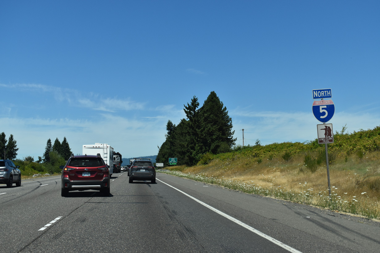
Interstate 5 is part of the Lewis & Clark Trail.
07/16/23
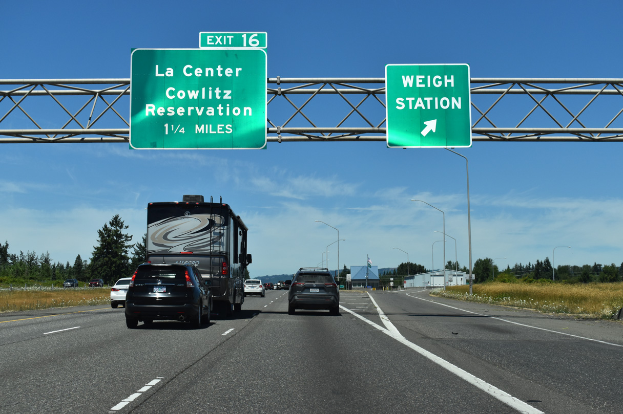
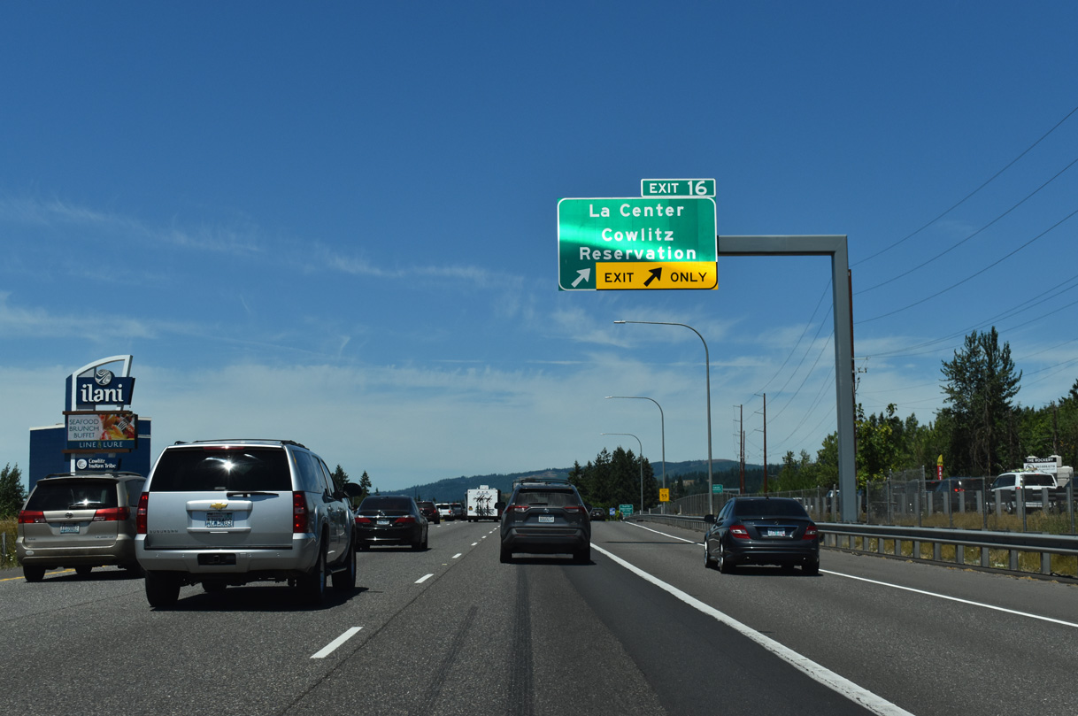
NW LaCenter Road arcs southwest across the city of La Center to a dogbone interchange (Exit 16) with Interstate 5.
07/16/23
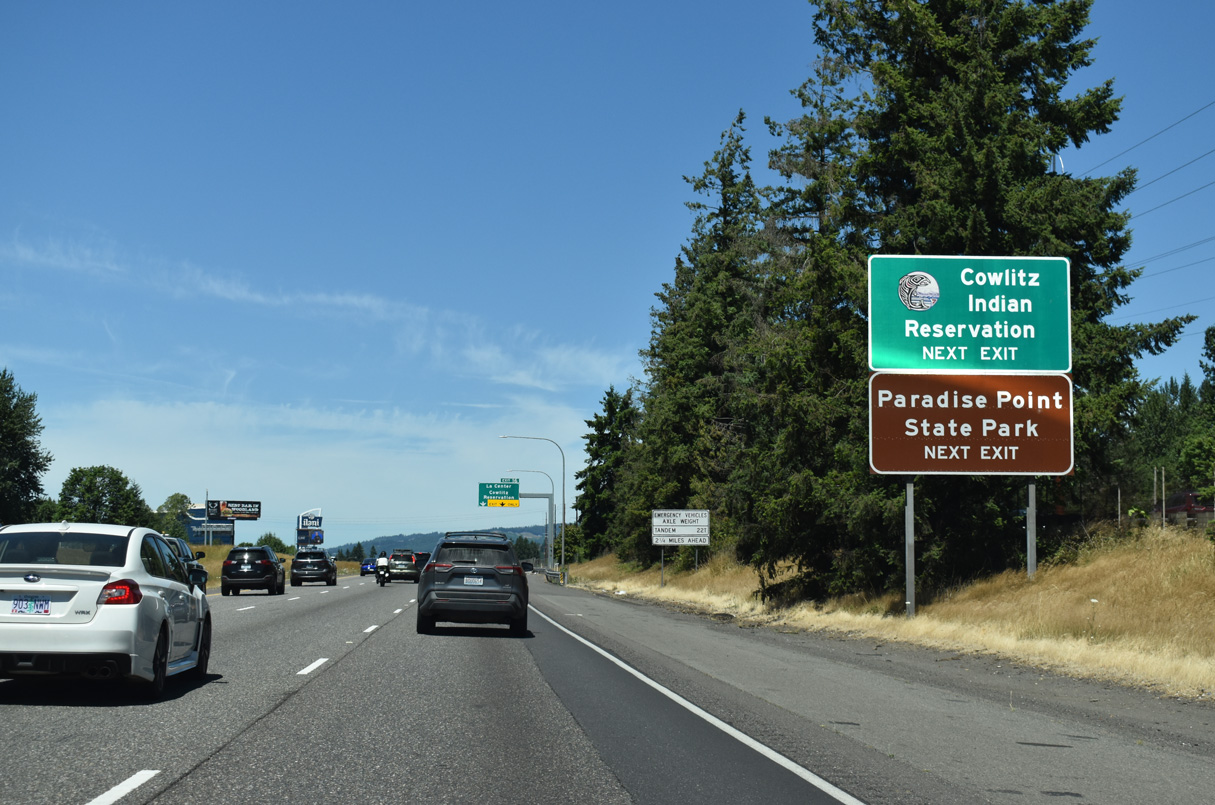
Exit 16 serves Cowlitz Indian Reservation, including the adjacent casino along Cowlitz Way west.
07/16/23
La Center generally lies along the East Fork of the Lewis River. The community boasts wetlands, wildlife, greenbelt areas with trails, as well as three mini-casinos.
07/16/23
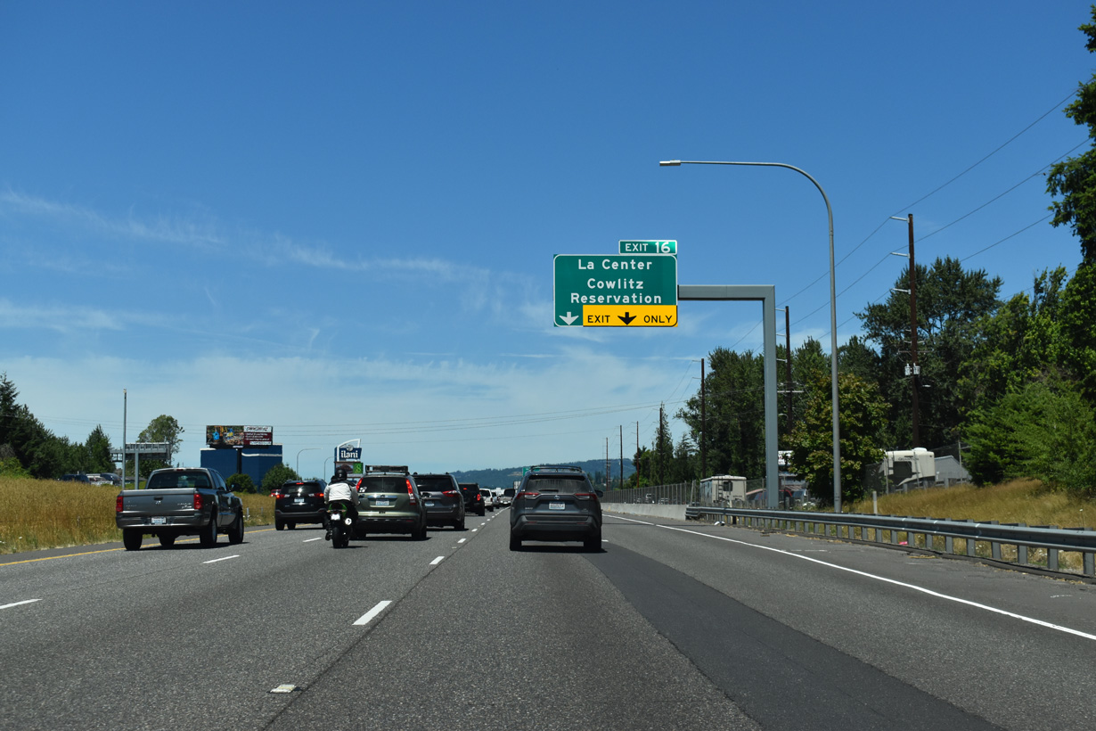
Guide signs for Exit 16 previously referenced La Center Road, and before that the older NW 319th Street designation.
07/16/23
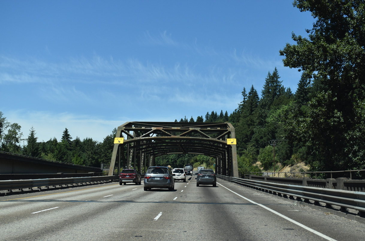
A steel truss span built in 1936 takes the northbound lanes of Interstate 5 across the East Fork of the Lewis River by Paradise Point. These truss spans are used in many places along I-5 in the Evergreen State.
07/16/23
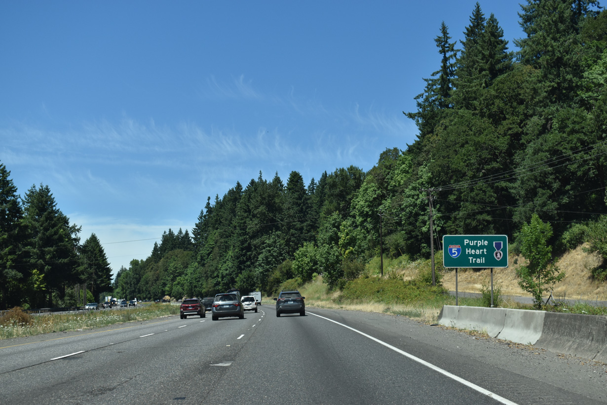
Interstate 5 in southern Washington is part of the Purple Heart Trail system of roads.
07/16/23
The split diamond interchange with SR 503 (Lewis River Road) and Scott Avenue is the first of two exits from Interstate 5 northbound in the city of Woodland.
07/16/23
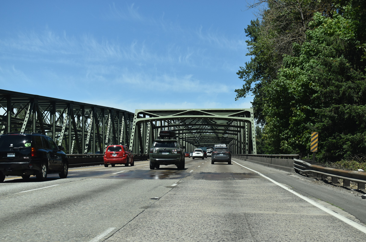
Just south of Woodland, a set of steel truss spans takes both directions of I-5 across the North Fork Lewis River. The southbound span was originally built in 1940. The northbound bridge was built in 1968 (WSDOT, 2025).
07/16/23
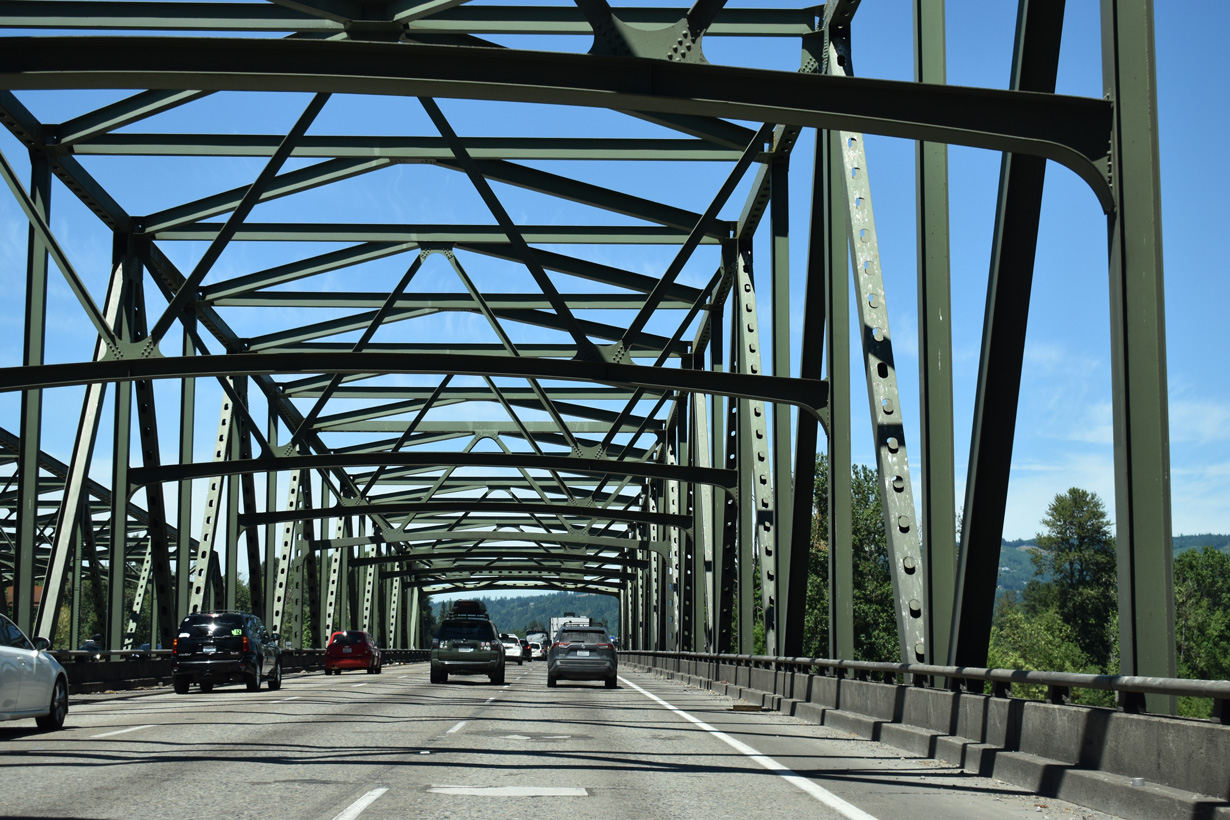
Underway from Spring 2023 to September 2024, a $17.4 million project extended the service life of the truss bridges across the North Fork Lewis River. Construction repaired the bridge deck, installed a polyester concrete overlay and made structural streel repairs (WSDOT, 2025).
07/16/23
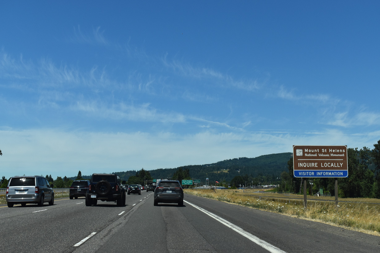
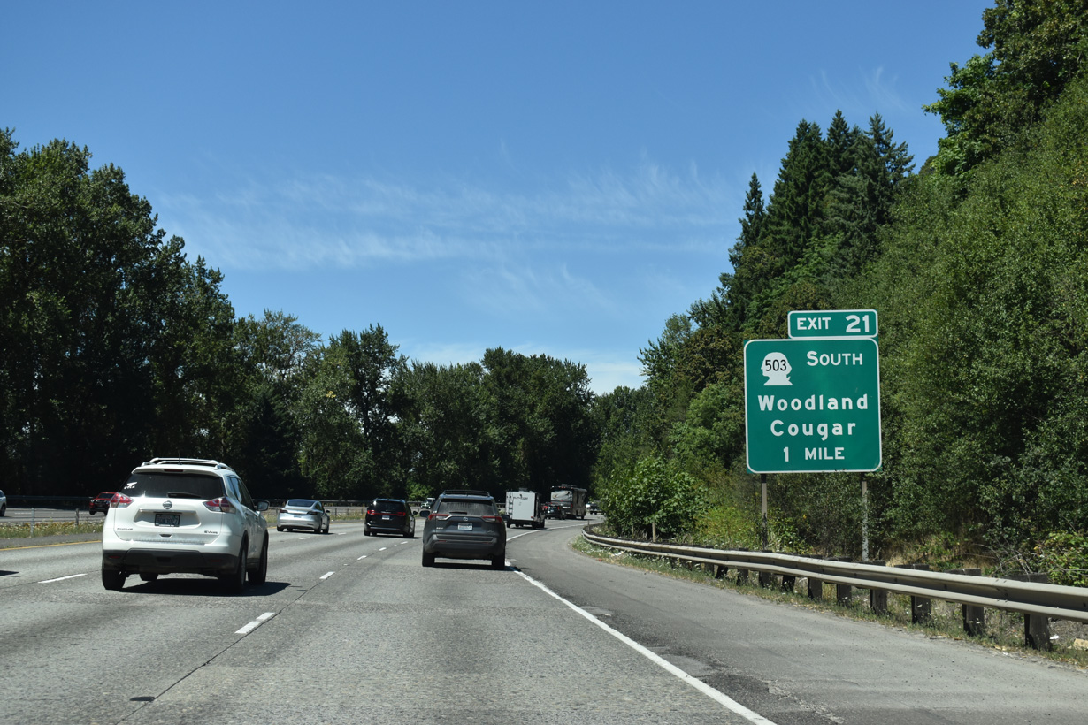
Mount St. Helens National Volcanic Monument can be reached by taking Exit 21 and following SR 503 east past Cougar. The drive is a winding, highly scenic trip along the volcano's southern and eastern slopes via National Forest Roads 90 and 25. Exit 49 to SR 504 provides a more direct route to view the north face and the crater.
07/16/23
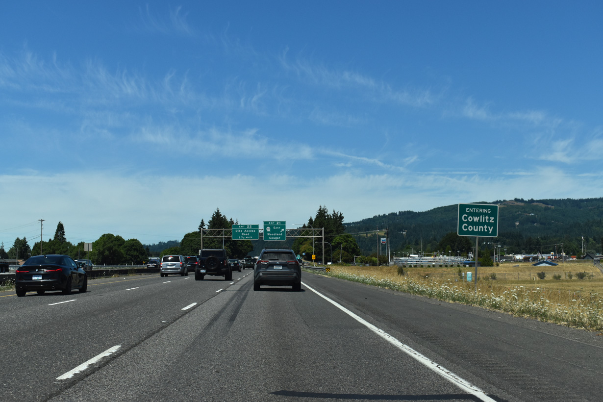
Horseshoe Lake along the west side of I-5 was the result of realigning the North Fork Lewis River. As such, the lake marks the Clark / Cowlitz County line. I-5 initially enters Cowlitz County ahead of Horseshoe Lake and then again at the north end of the lake and Woodland city limits.
07/16/23
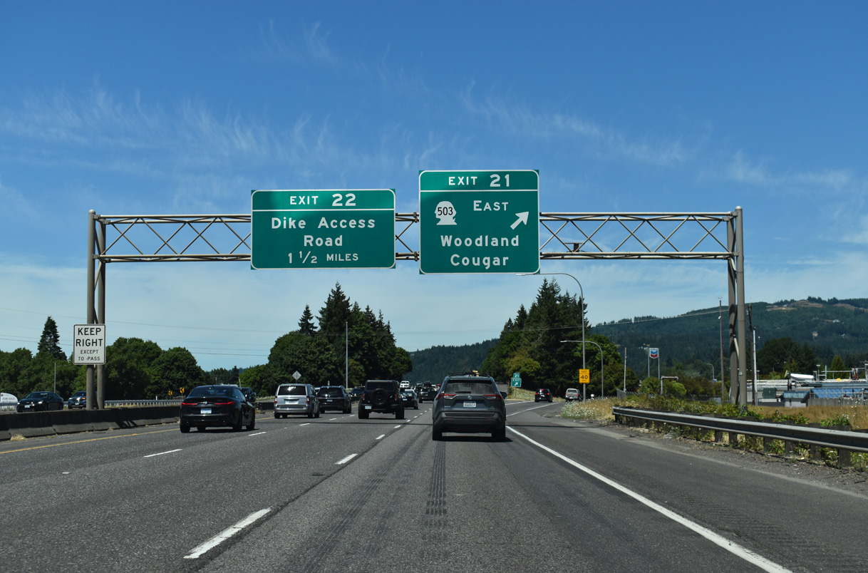
Washington State Route 503 constitutes a 51.56 mile long loop east from Woodland to Lake Merwin and south to Battle Ground. SR 503 Spur extends east from SR 503 to Yale Lake and the unincorporated community of Cougar.
07/16/23
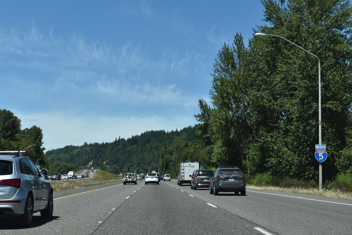
Confirming marker posted north of the entrance ramp from Atlantic and Scott Avenues. Incorporated in 1906, the city of Woodland is home to the Hulda Klager Lilac Gardens National Historic Site.
07/16/23
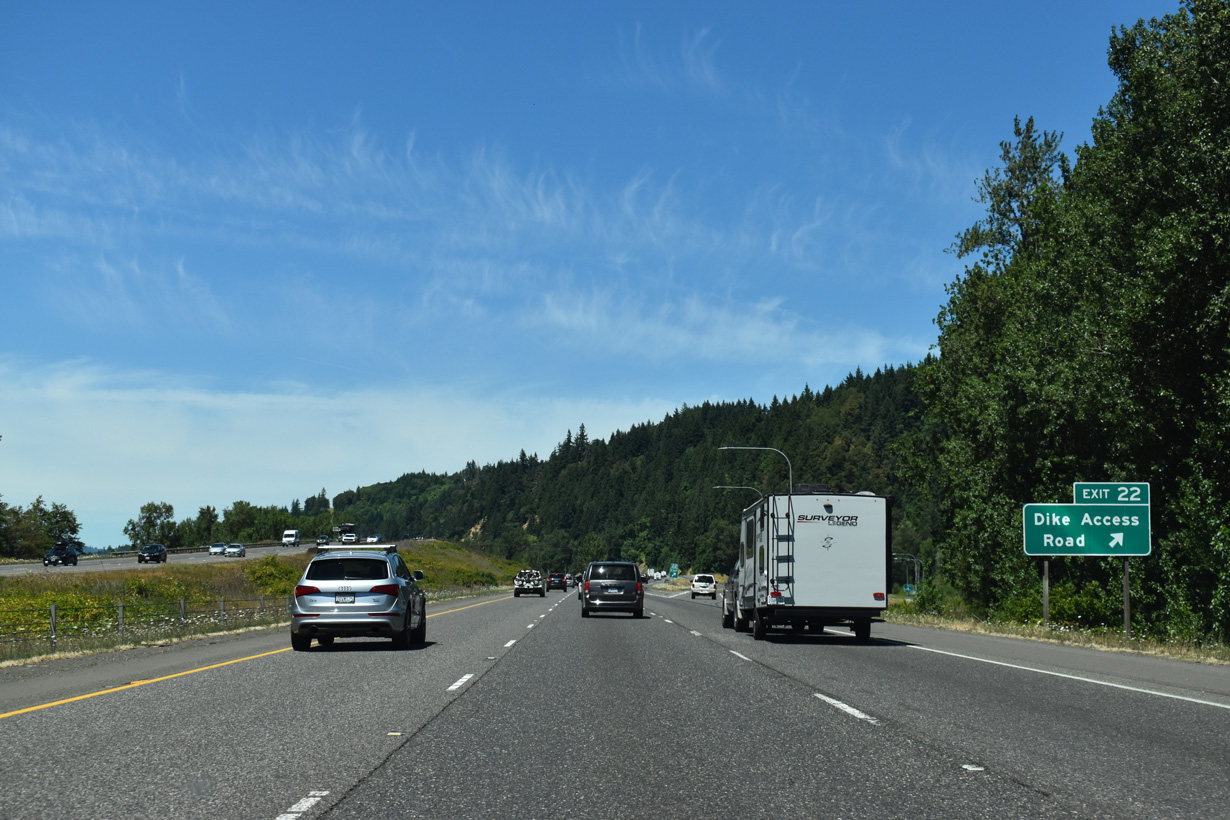
Dike Access Road leads west from north Woodland to Dike Road along Burke Slough near the Columbia River. Old Pacific Highway ties into the dog bone interchange at Exit 22 from the southeast.
07/16/23

References:
City of Vancouver. (n.d.). Official website. Retrieved from http://www.ci.vancouver.wa.us/
Interstate Bridge. (2025, July 20) In https://en.wikipedia.org/w/index.php?title=Interstate_Bridge&oldid=1301490726
City of Vancouver. (2024, September 5). Vancouver Waterfront Park. City of Vancouver. https://www.cityofvancouver.us/parks_trails/vancouver-waterfront-park/
Washington State Department of Transportation (WSDOT). (2008). I-5 - Widen I-5 Each Direction From Salmon Creek to I-205 - Complete October 2006. WSDOT. http://www.wsdot.wa.gov/projects/i5/SalmonCreektoI205/
US Fish & Wildlife Service. (n.d.). Pacific region. Retrieved from http://www.fws.gov/ridgefieldrefuges/RNWRHome.htm
Washington State Department of Transportation (WSDOT). (2025, April 4). I-5 NB/SB North Fork Lewis River Bridge – Bridge Deck Repair & Overlay - Complete September 2024. WSDOT. https://wsdot.wa.gov/construction-planning/search-projects/i-5-nb-sb-north-fork-lewis-river-bridge-bridge-deck-repair-overlay-complete-september-2024
Photo Credits:
- Brent Ivy: 07/16/23, 07/20/23
- AARoads: 08/27/06
- Matt Strieby: 11/19/05
Connect with:
Page Updated Wednesday August 27, 2025.