
Business Loop I-8 Yuma - East
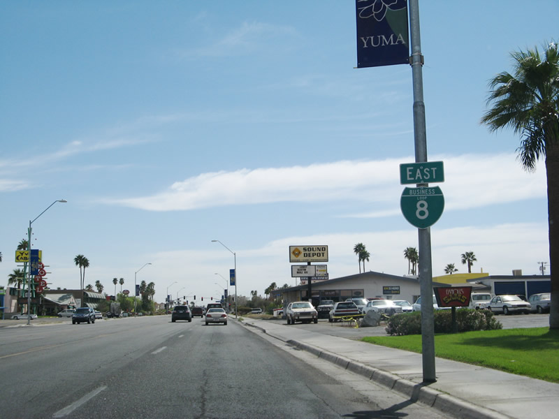
 East
East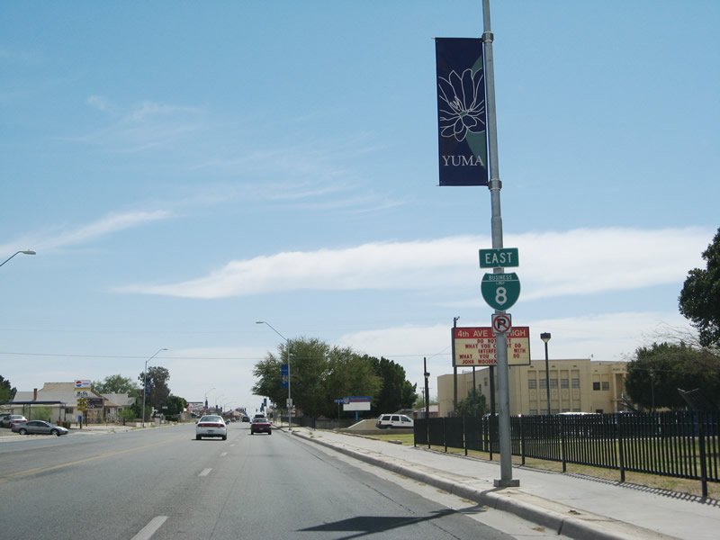
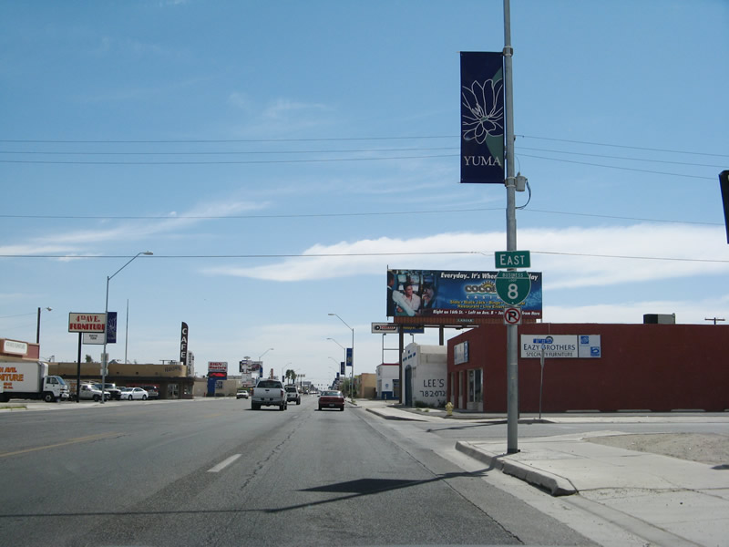
Reassurance marker posted for Business Loop I-8 (S 4th Avenue) south of Giss Parkway and 4th Street. The main route through Yuma is generally four to six lanes wide with a center turn lane.
03/17/07
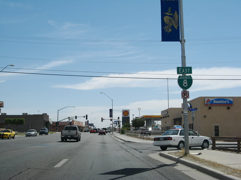
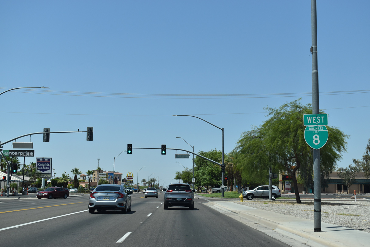
The succeeding reassurance shield for Business Loop I-8 is at the intersection of 4th Avenue and 7th Street. 4th Avenue is also one of the old alignments of U.S. 80 through Yuma.
03/17/07
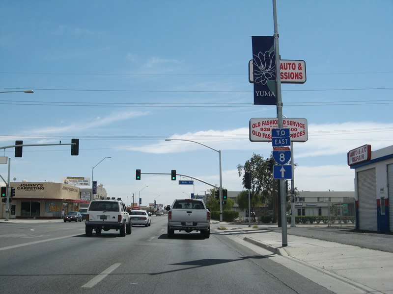
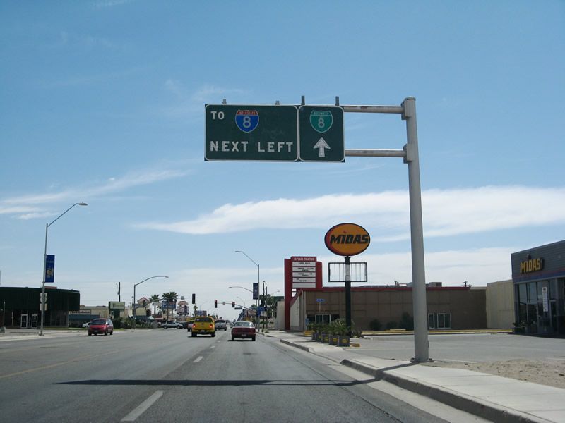
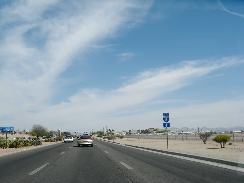
A trailblazer for Interstate 8 east appears at 10th Street. Northbound U.S. 95 (16th Street) provides the next connection to the freeway from 4th Avenue south.
03/17/07
4th Avenue south at 11th Street.
03/17/07

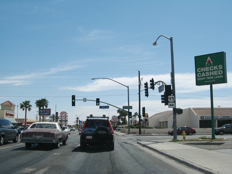
U.S. 95 lines 16th Street east to the Yuma city line beyond I-8 and west to S Avenue B.
03/17/07
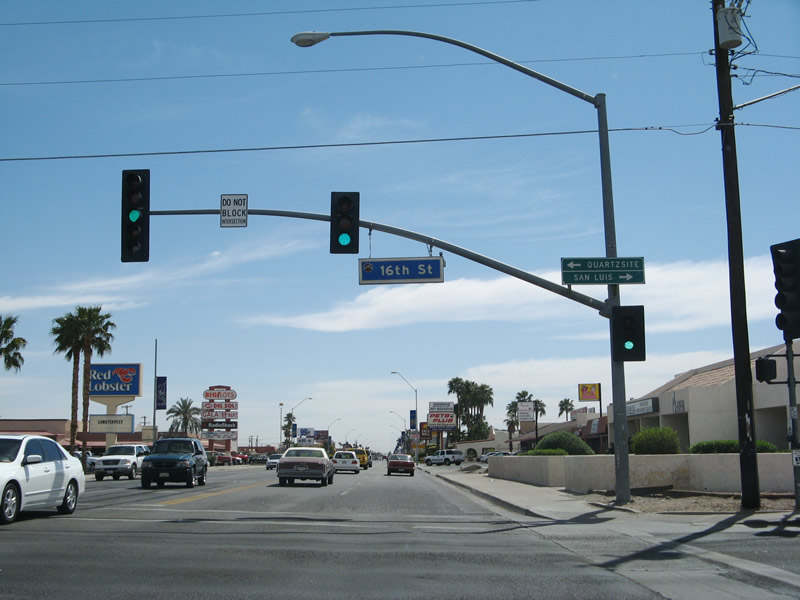
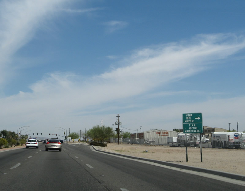
This overhead was removed after 2015 when the intersection of 4th Avenue and 16th Street was expanded. U.S. 95 travels 23.10 miles southwest to the Mexican border at San Luis via Somerton.
03/17/07
U.S. 95 travels east from Yuma across the South Gila Valley to El Prado Estates. Turning north around the Laguna Mountains, U.S. 95 continues to the U.S. Army Yuma Proving Ground, Imperial Dam and Quartzsite.
03/17/07
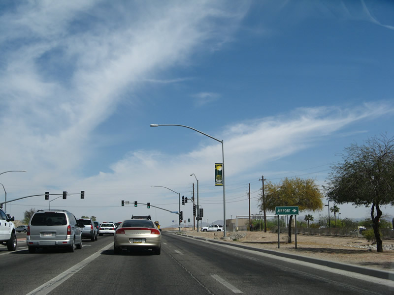
Removed during road work expanding S 4th Avenue, this small guide sign referenced the south end of U.S. 95 at San Luis and Quartzsite, where U.S. 95 north meets Interstate 10.
03/17/07
Continuing south to W 21st Street, Business Loop I-8 plies through a seemingly endless array of strip malls and restaurants.
03/17/07
Business Loop I-8 (S 4th Avenue) advances south to W 28th Street.
03/17/07
Business Loop I-8 along S 4th Avenue curves southeast directly onto W 32nd Street between South Gate and Big Curve Shopping Center.
03/17/07
Business Loop I-8 expands to a four lane, divided arterial along 32nd Street.
03/17/07
Yuma International Airport (YUM) comes into view on the south side of Business Loop I-8 (32nd Street) beyond Fortuna Avenue.
03/17/07
The passenger terminal for Yuma International Airport (YUM) is located south of the forthcoming intersection joining Business Loop I-8 (E 32nd Street) with Pacific Avenue north.
03/17/07
Pacific Avenue heads 2.00 miles north from Business Loop I-8 and the airport to U.S. 95 (E 16th Street).
03/17/07
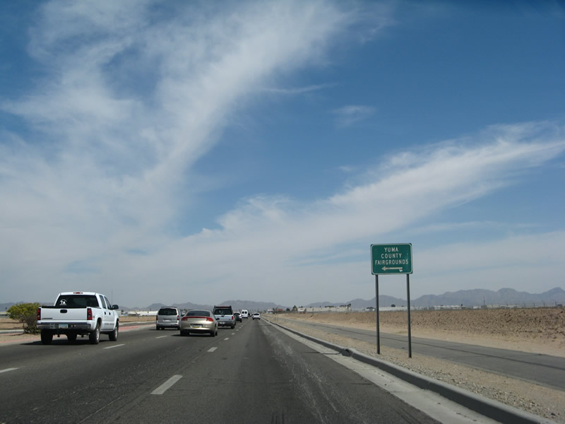
The Yuma County Fairgrounds line the north side of E 32nd Street at Avenue 2 1/2E. The county fair is held every April.
03/17/07
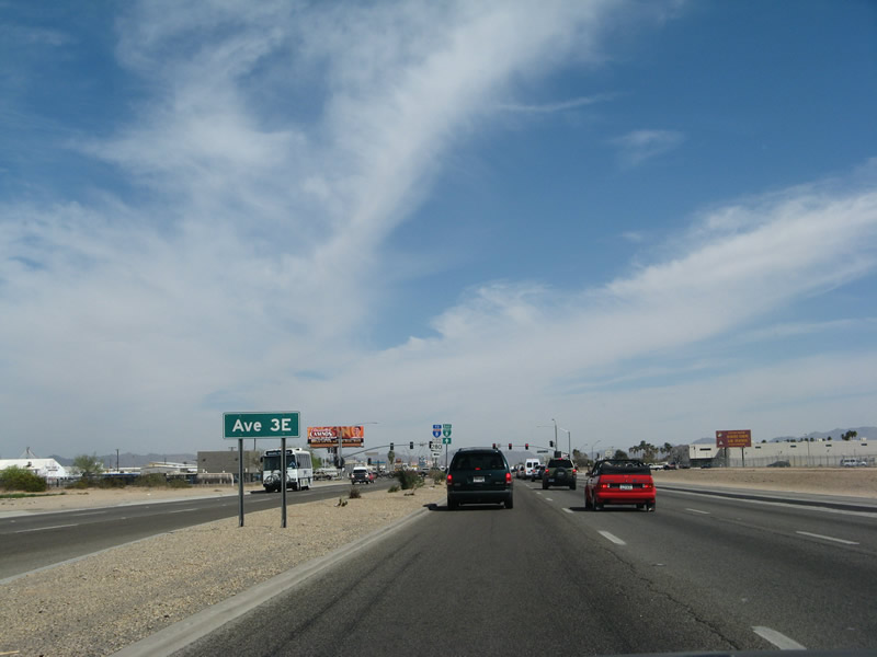
Business Loop I-8 (E 32nd Street) next meets Avenue 3E (former SR 280). Avenue 3E joins E 32nd Street with USMC Air Station Yuma to the south and I-8 to the north.
03/17/07
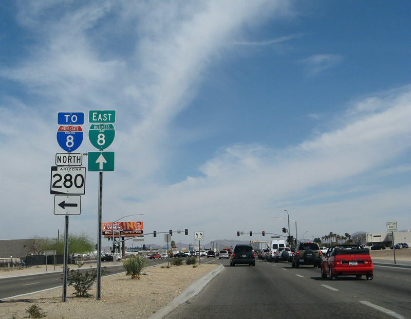
Avenue 3E leads north from Business Loop I-8 (E 32nd Street) to a diamond interchange with Interstate 8. SR 280 was removed from the state highway system in April 2007, but as of early 2021 signs for the route remained in place.
03/17/07
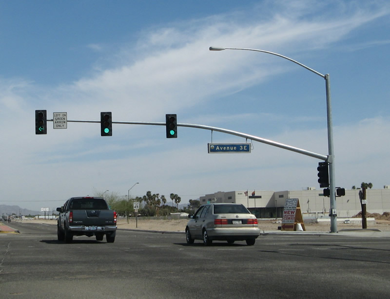
Business Loop I-8 east at Avenue 3E (former SR 280 north).
03/17/07
Photo Credits:
- Andy Field: 03/17/07
Connect with:
Page Updated Tuesday April 05, 2022.