
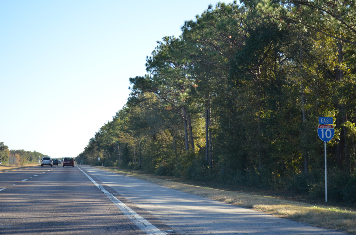
Interstate 10 East - Santa Rosa County
 East
East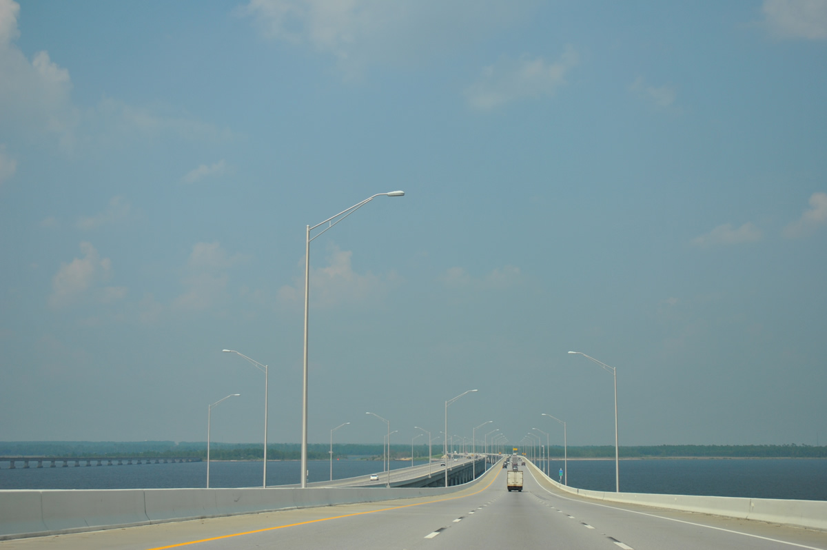
The Escambia Bay bridges carry six overall lanes with full right side shoulders and partial left side shoulders accompanied by highway lighting and a 70 MPH speed limit. The eastbound span opened to traffic on December 19, 2006.
08/03/11

Phase two of an $81 million project expanded the six lane section of I-10 east from Escambia Bay to SR 281 (Exit 22). Originally anticipated for completion in Summer 2017, work on the 4.1 mile section ran from June 5, 2015 to September 2019. The date changed due to severe weather and granted holidays.1,2
08/03/11
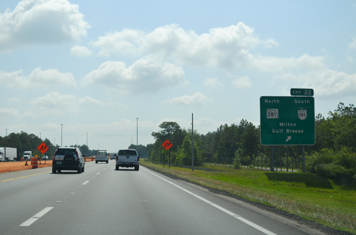
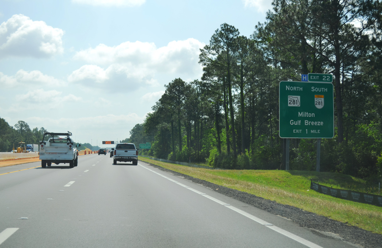
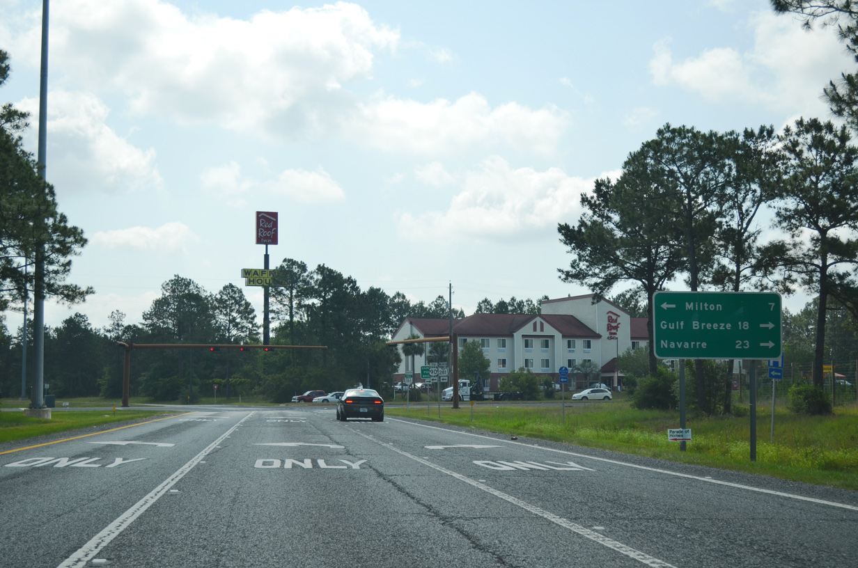
I-10 turns east toward Avalon Beach, meeting SR 281 (Avalon Boulevard) at a diamond interchange (Exit 22) in one mile. A pair of rest areas once lined both sides of the freeway by Liveoak Point off Escambia Bay.
05/13/16
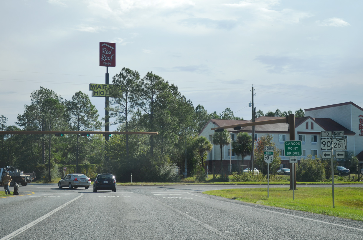
SR 281 (Avalon Boulevard) heads 4.98 miles north from Exit 22 to U.S. 90 at the Pensacola State College Milton campus, east of Pea Ridge and west of Milton. SR 281 Toll extends 10.96 miles south across the Garcon Point Bridge to U.S. 98 (Gulf Breeze Parkway) near Oriole Beach and Tiger Point.
05/13/16
With two lanes, the tolled Garcon Point Bridge is an 18,425 foot long crossing of Pensacola Bay. Traffic doubled along SR 281 as part of a detour route for the Pensacola Bay Bridge, which closed due to damage from Hurricane Sally on September 16, 2020. Emergency improvements extended the ramp at Exit 22 and added a second turn lane for SR 281 south.3
05/13/16
A six year, $40 million project four laned SR 281 north five miles from I-10 to U.S. 90 near Galt City. The section north from the CSX Railroad crossing was completed by May 1, 2013. The fourth and final phase south to I-10 was finished in February 2016.4
11/19/15
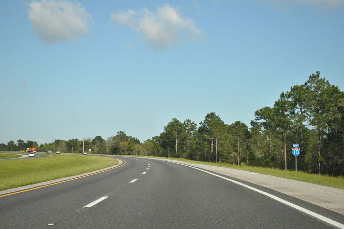
Interstate 10 reduces to four lanes east of the exchange with SR 281 (Avalon Boulevard). Studies commenced in Summer 2019 for widening the ensuing 23.5 miles of I-10 east to CR 189 (Log Lake Road) in Okaloosa County.2
03/20/12
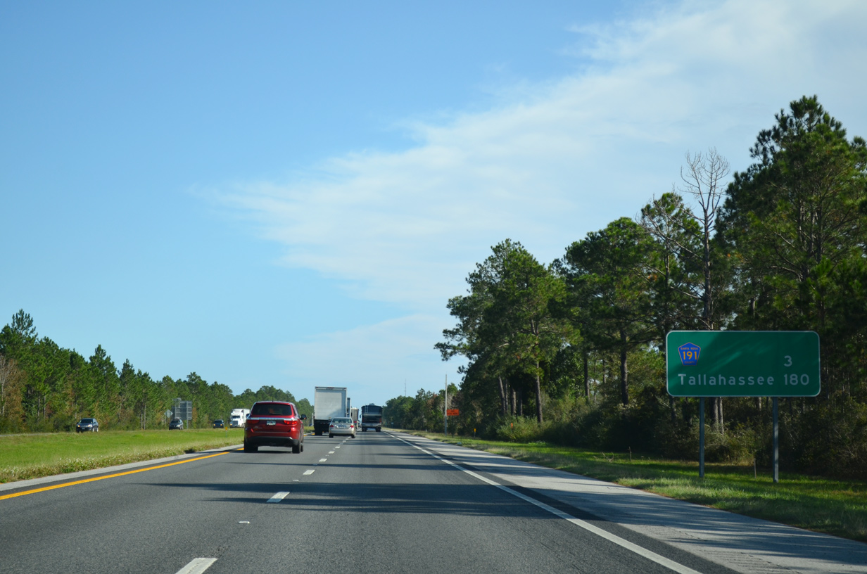
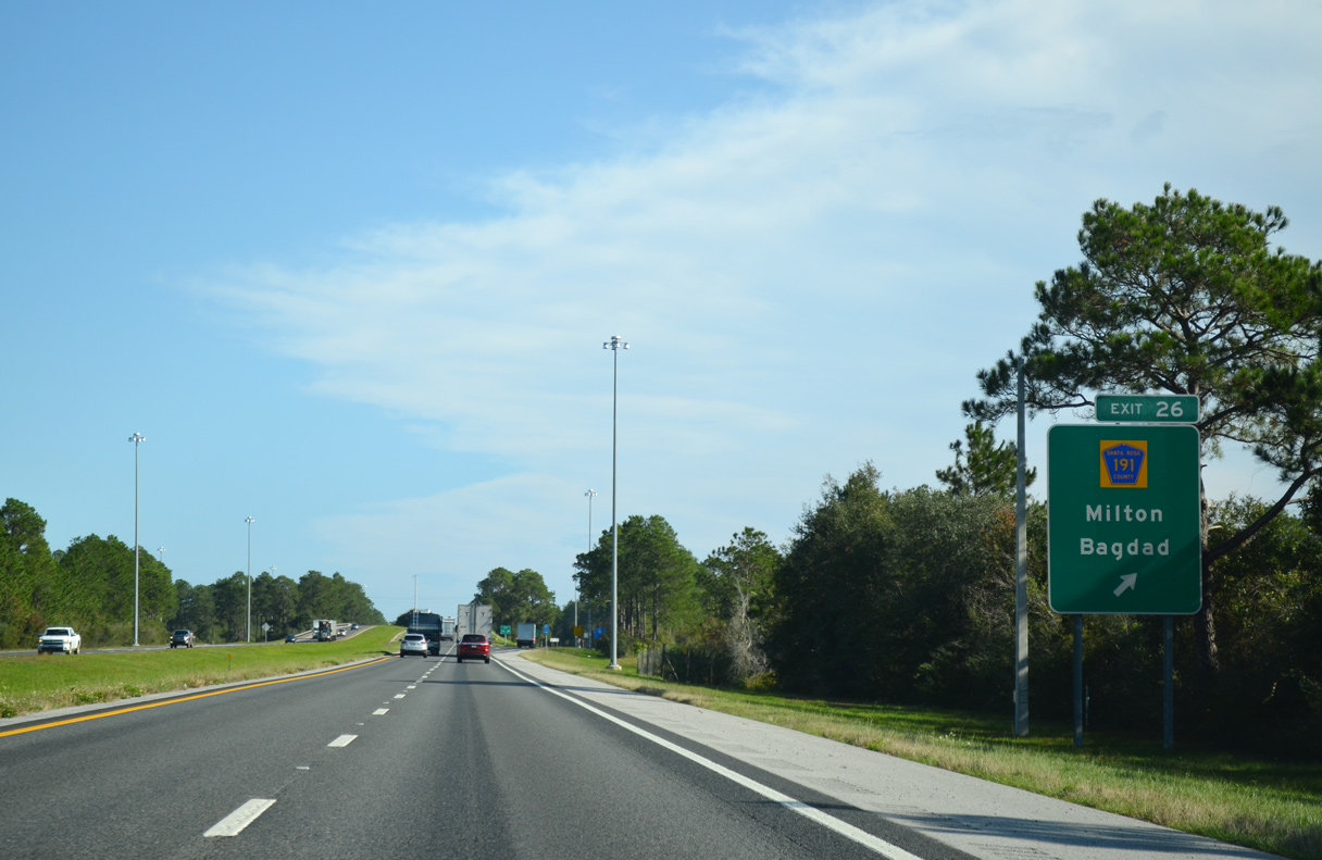
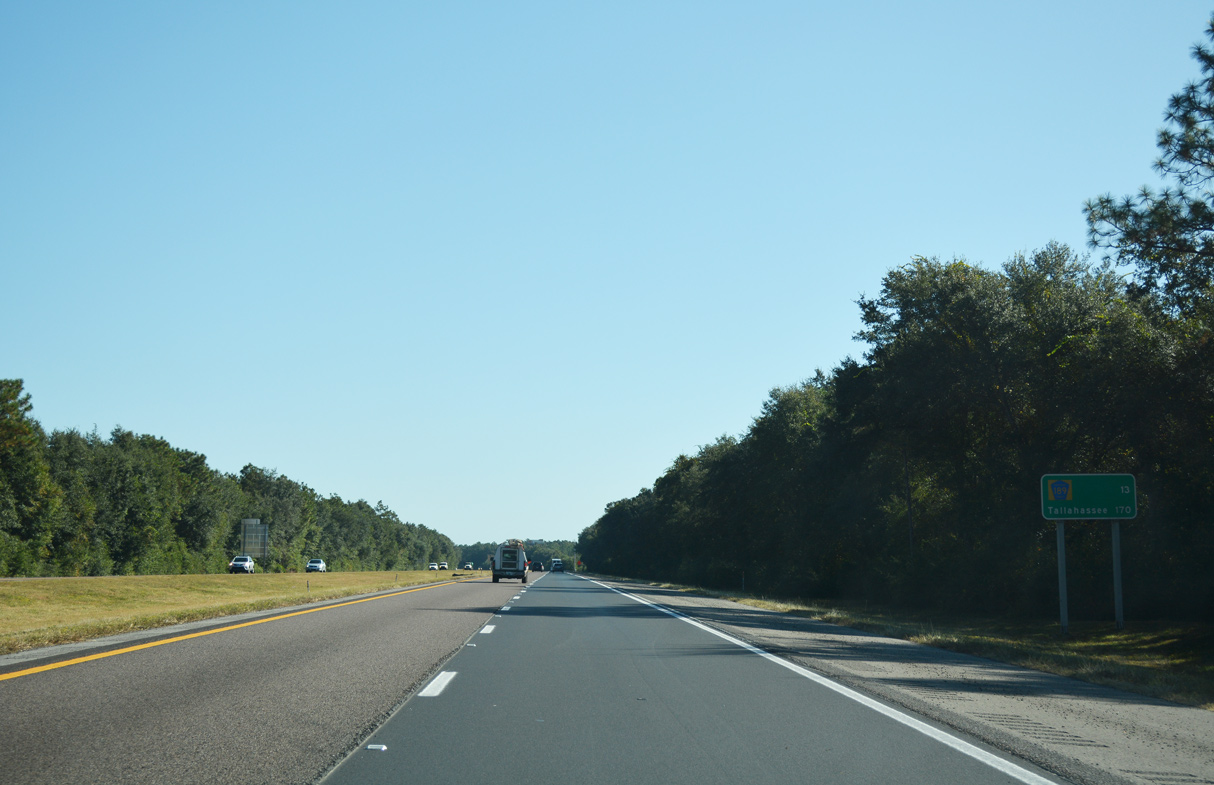
Interstate 10 angles northeast three miles to Exit 26 for CR 191 (Garcon Point Road). The capital city of Tallahassee is the control city east from Pensacola.
11/19/15
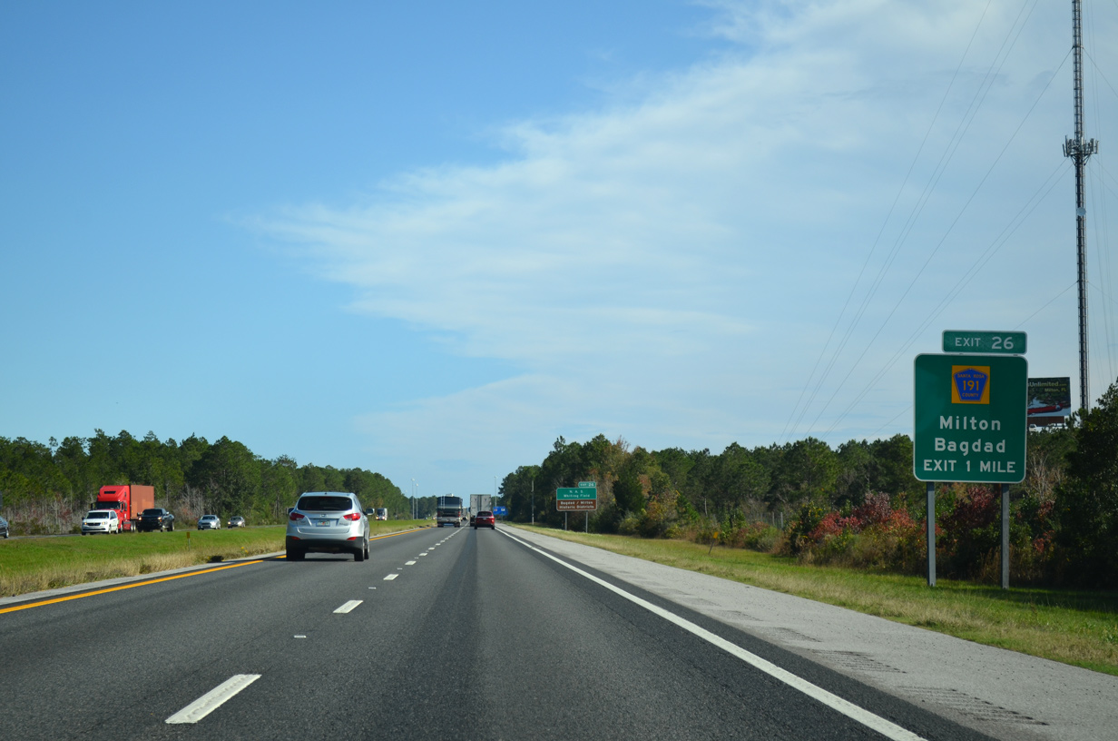
CR 191 (Garcon Point Road) meets I-10 at a diamond interchange (Exit 26) south of Milton, the Santa Rosa County seat, and Bagdad, an unincorporated community along the Blackwater River.
11/20/15
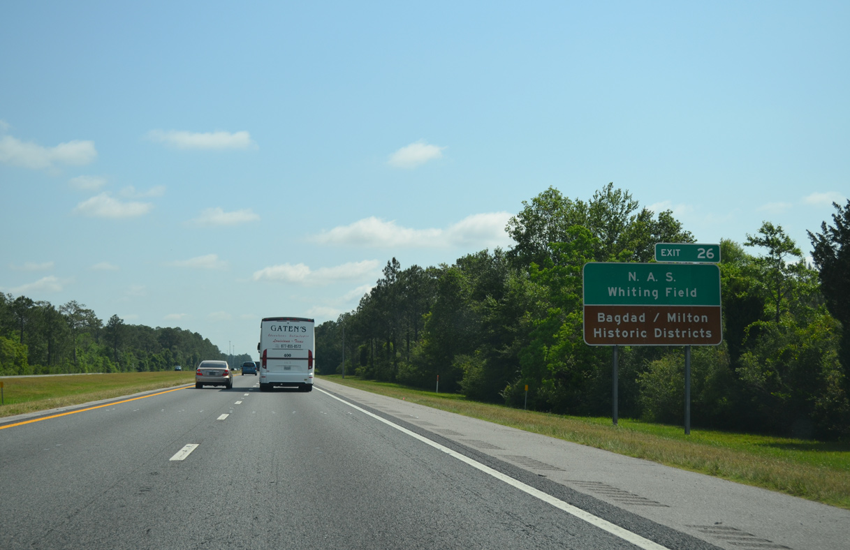
North beyond the Milton historic district, a second branch of CR 191 follows Munson Highway northeast to Naval Air Station Whiting Field, Spring Hill and SR 4 at Munson.
05/13/16
CR 191 (Garcon Point Road) leads seven miles southwest from Exit 26 to Yellow River Marsh Preserve State Park and SR 281 near the Garcon Point Bridge.
11/20/15
Interstate 10 maintains a northeast heading across Blackwater Bay near Shields Point.
05/13/16
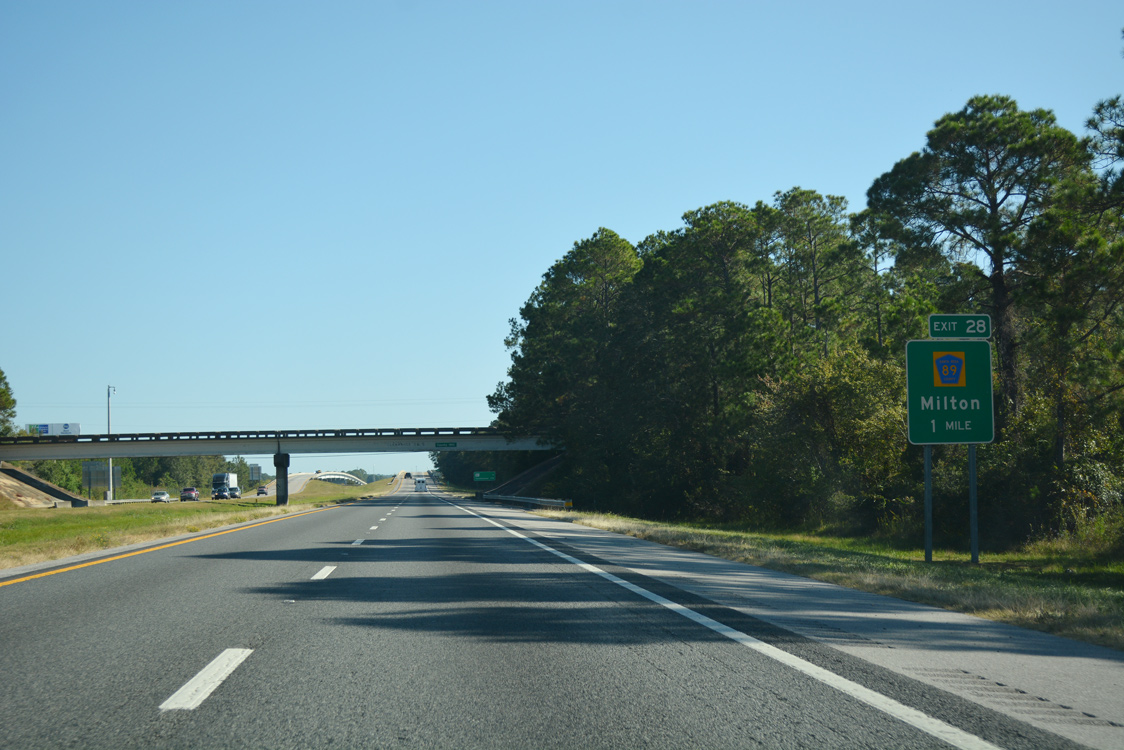
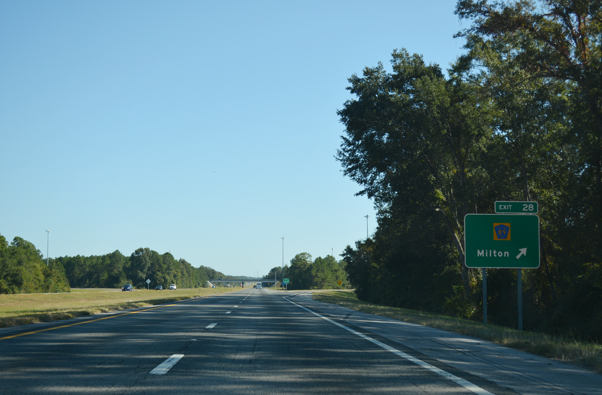
A folded diamond interchange (Exit 28) joins Interstate 10 with CR 89 one mile east of the CR 191C (Robinson Point Road) overpass.
10/13/16
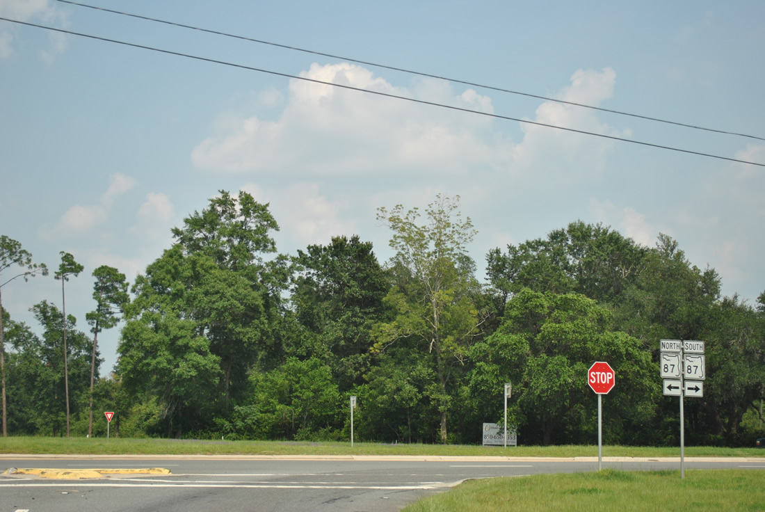
The design of this distance sign predates the addition of Exit 28 for CR 89 (Ward Basin Road). SR 87 is the final Santa Rosa County exit from I-10 eastbound.
05/13/16
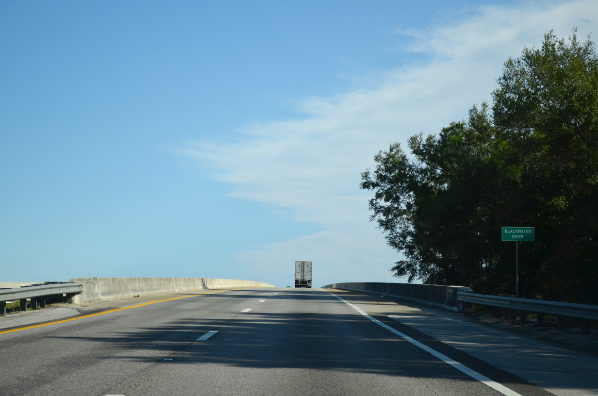
Interstate 10 spans the Blackwater River near Bagdad and Ward Basin. The 1967 bridges here were rebuilt in 1996-97.
10/19/15
Originating within Conecuh National Forest in Escambia County, Alabama, the Blackwater River flows southward into East Bay.
05/13/16
CR 89 constitutes a 5.80 mile spur south from U.S. 90/SR 87 at East Milton to Ward Basin and Pine Bluff along Blackwater Bay. CR 89 ends at a fish camp on the Yellow River.
10/13/16
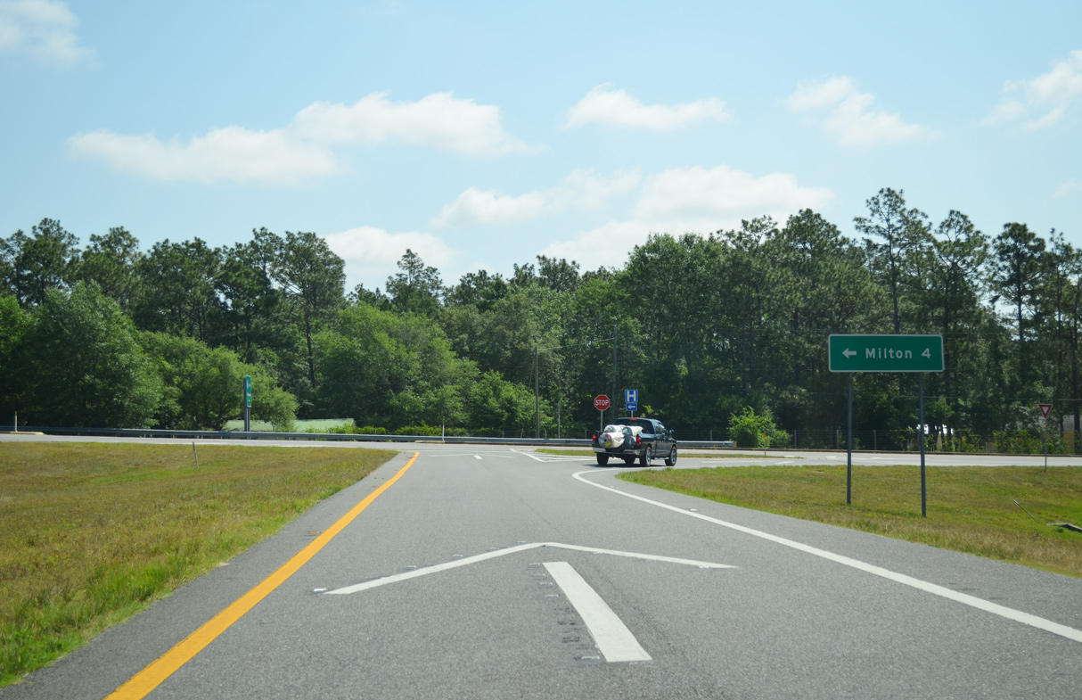
Costing $2.4 million, the exchange with Ward Basin Road was constructed from May 1984 to July 1985.5
05/13/16
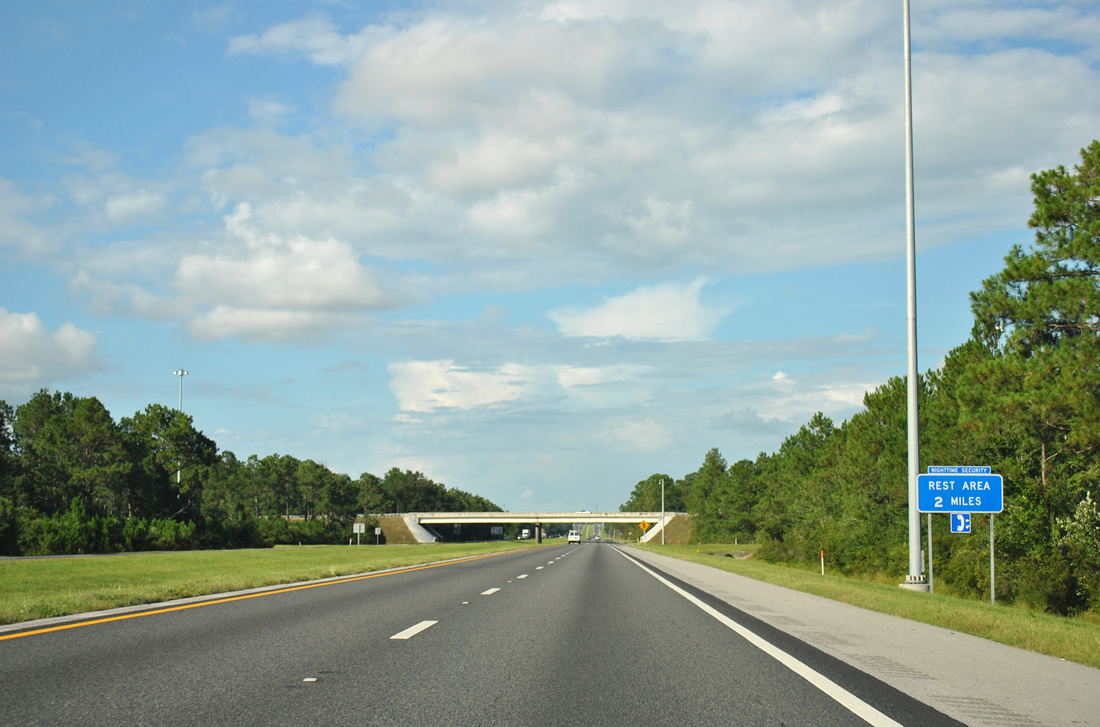
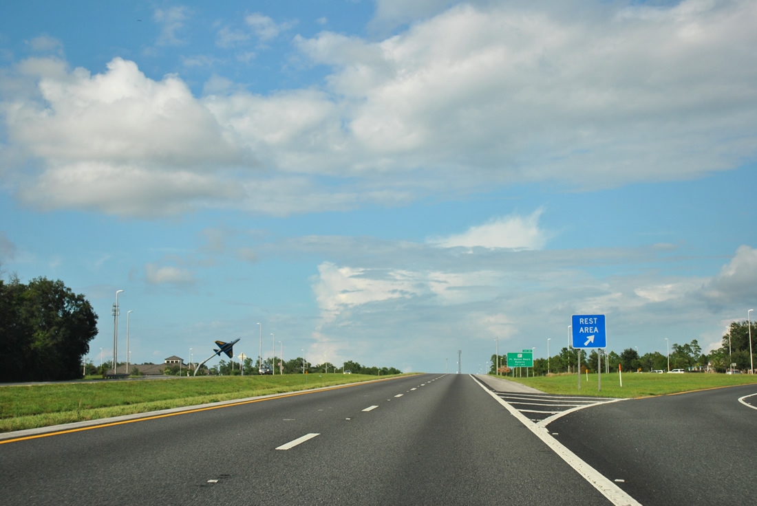
Interstate 10 continues northeast to a pair of rest areas by Persimmon Hollow.
07/24/11
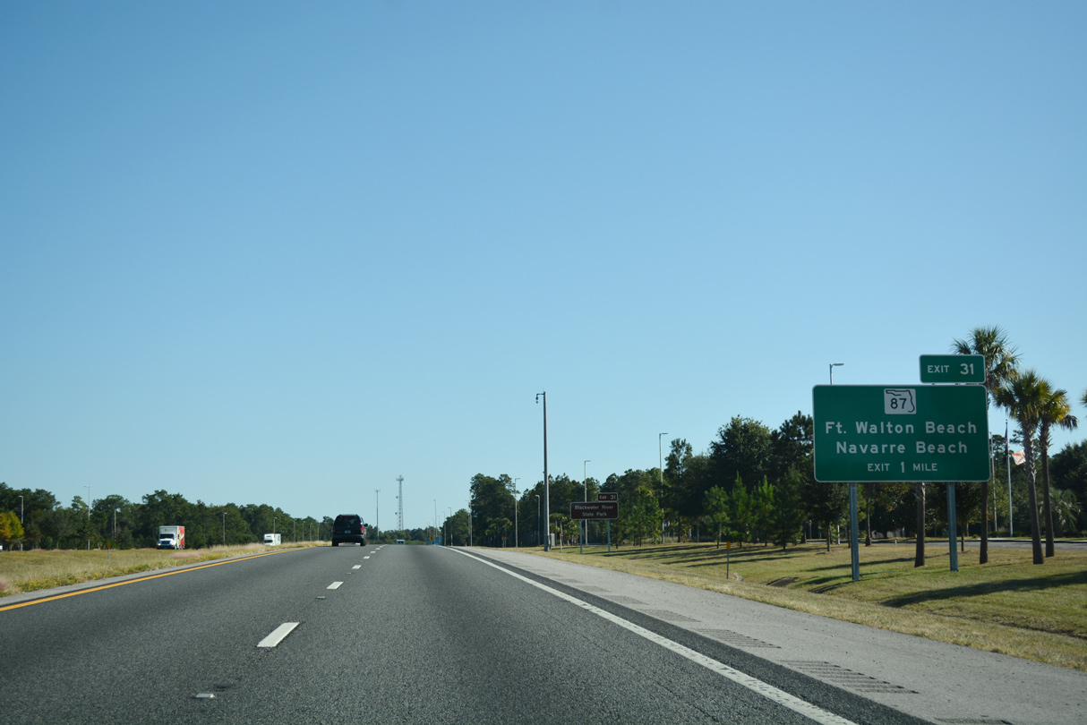
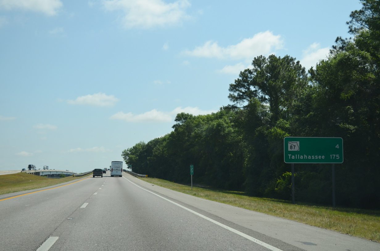
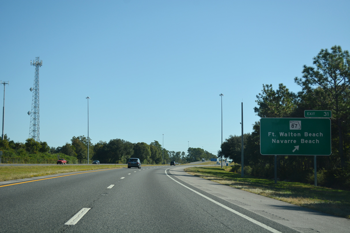
State Road 87 meets I-10 just east of the Santa Rosa County rest area at a diamond interchange (Exit 31) near Welcome. SR 87 leads south through Eglin Air Force Base to U.S. 98 at Navarre.
10/13/16
1.3 miles north from Exit 31, SR 87 combines with U.S. 90 west to Downtown Milton. SR 87 continues from Milton to Alabama State Route 41 south of Brewton.
10/13/16
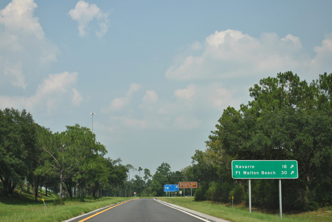
SR 87 south 18 miles to U.S. 98 east provides one of two routes to Fort Walton Beach from I-10 eastbound. Construction four laning SR 87 between U.S. 90 and Navarre started in August 2002 and finished in July 2019.
08/03/11
Blackwater River State Park lies north of I-10 along Deaton Bridge Road from U.S. 90 east of SR 87.
08/03/11
U.S. 90 parallels Interstate 10 to the north from Milton east to Floridale, Harold, and Holt in Okaloosa County.
11/26/14
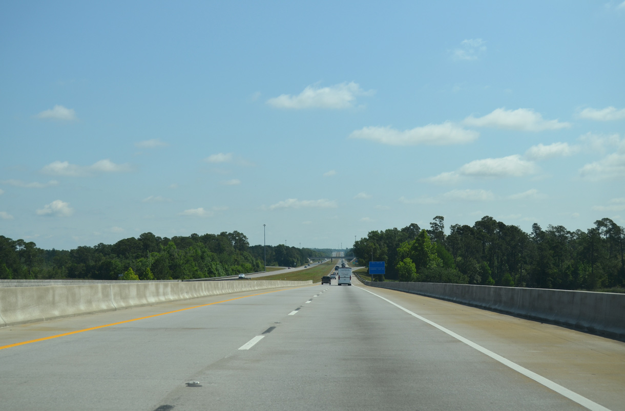
Interstate 10 continues 14 miles uninterrupted to County Road 189 (Exit 45) at Holt.
10/13/16
The remaining eight miles along Interstate 10 east in Santa Rosa County traverse areas of timberland by southern reaches of Blackwater River State Forest.
11/03/12

Garner Landing Road spans Interstate 10 by Emerald Coast Dragway at the Okaloosa County line.
11/26/14

References:
- "FDOT eyes wider I-10, better S.R. 85." Northwest Florida Daily News (Fort Walton Beach), November 8, 2019.
- "Avalon construction projected to finish in spring (Your Question Answered)." Santa Rosa's Press Gazette (Milton, FL), January 25, 2018.
- "FDOT adding temporary improvements to fix backup on I-10 caused by bridge detour." Pensacola News Journal (FL), November 18, 2020.
- "Avalon Boulevard construction complete." Pensacola News Journal (FL), February 23, 2016.
- "Milton road to close for construction." Pensacola News Journal (FL), August 8, 1984.
Photo Credits:
- Alex Nitzman: 08/03/11, 03/20/12, 11/03/12, 11/26/14, 10/19/15, 11/19/15, 11/20/15, 05/13/16, 10/13/16
- ABRoads: 07/24/11
Connect with:
Page Updated Tuesday November 24, 2020.