
Former Business Loop I-10 - Indio and Coachella

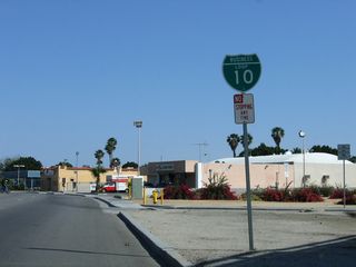
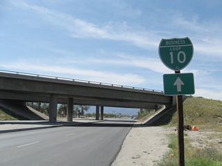
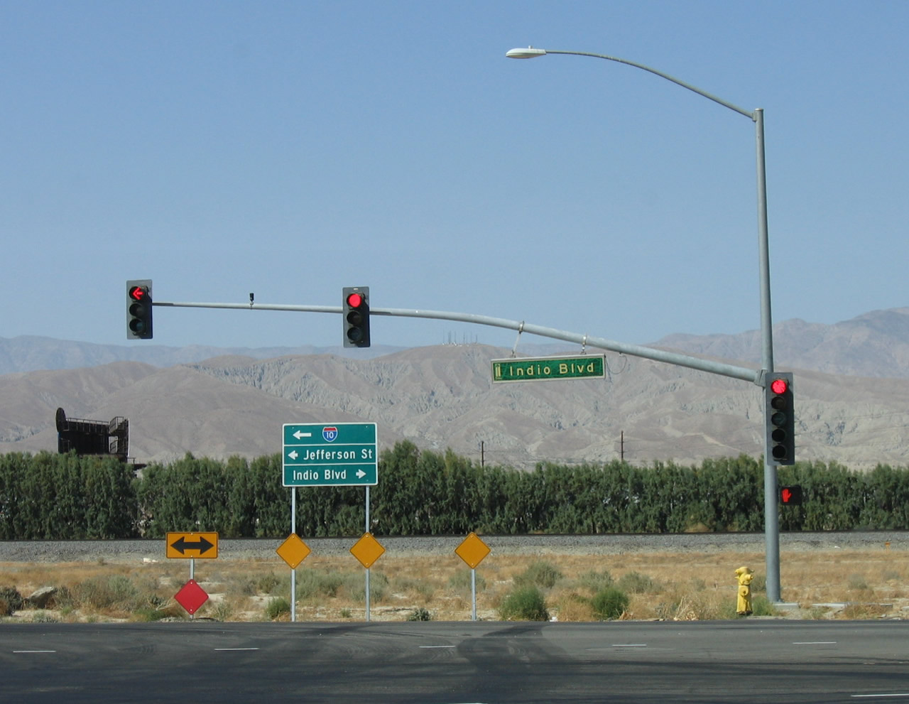
Beginning at Exit 139, Business Loop I-10 through Indio branches south from I-10 along Indio Boulevard. Following the former route of U.S. 60-70-99, the business route heads southeast to Avenue 48 at the Coachella city line. There Business Loop I-10 turns west to access Dillon Road, which curves northeast along an overpass spanning Grapefruit Boulevard, Indio Boulevard and the adjacent Union Pacific Railroad line. Dillon Road meets the expressway along SR 86 before returning Business Loop I-10 to I-10 at Exit 146.
Former Business Loop I-10 Guides
East - Indio to Coachella - 51 photos
West - Coachella to Indio - 29 photos
This business route is a well-preserved section of old U.S. highway through Indio as it parallels the UP Railroad. The western and central parts of the route are maintained by the city of Indio. The middle segment was formerly controlled by the state as part of SR 86-111, but the state transferred the route over to the city. The eastern section of the route is maintained by the city of Coachella. As a result, signage varies depending on the entity maintaining the road.
The City of Indio seemed to lose interest in its segment of Business Loop I-10, as signs for the route were largely gone by 2010. Many were replaced with "Historic U.S. 99" signs that had been added starting in 1999. However, the segment along Dillon Road retained business route signage at SR 86 and I-10 as of 2012.
According to the California State Highway System Signing Log (October 1991), Business Loop I-10 in Indio runs from
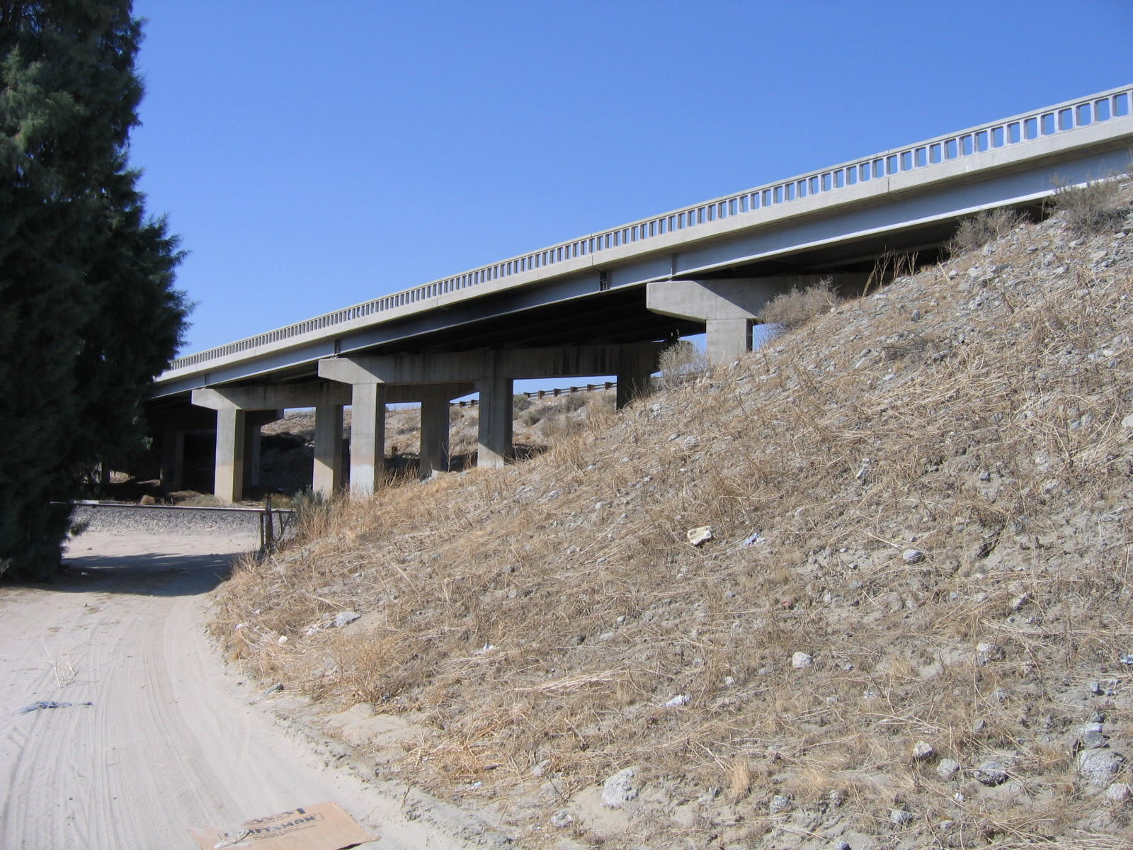
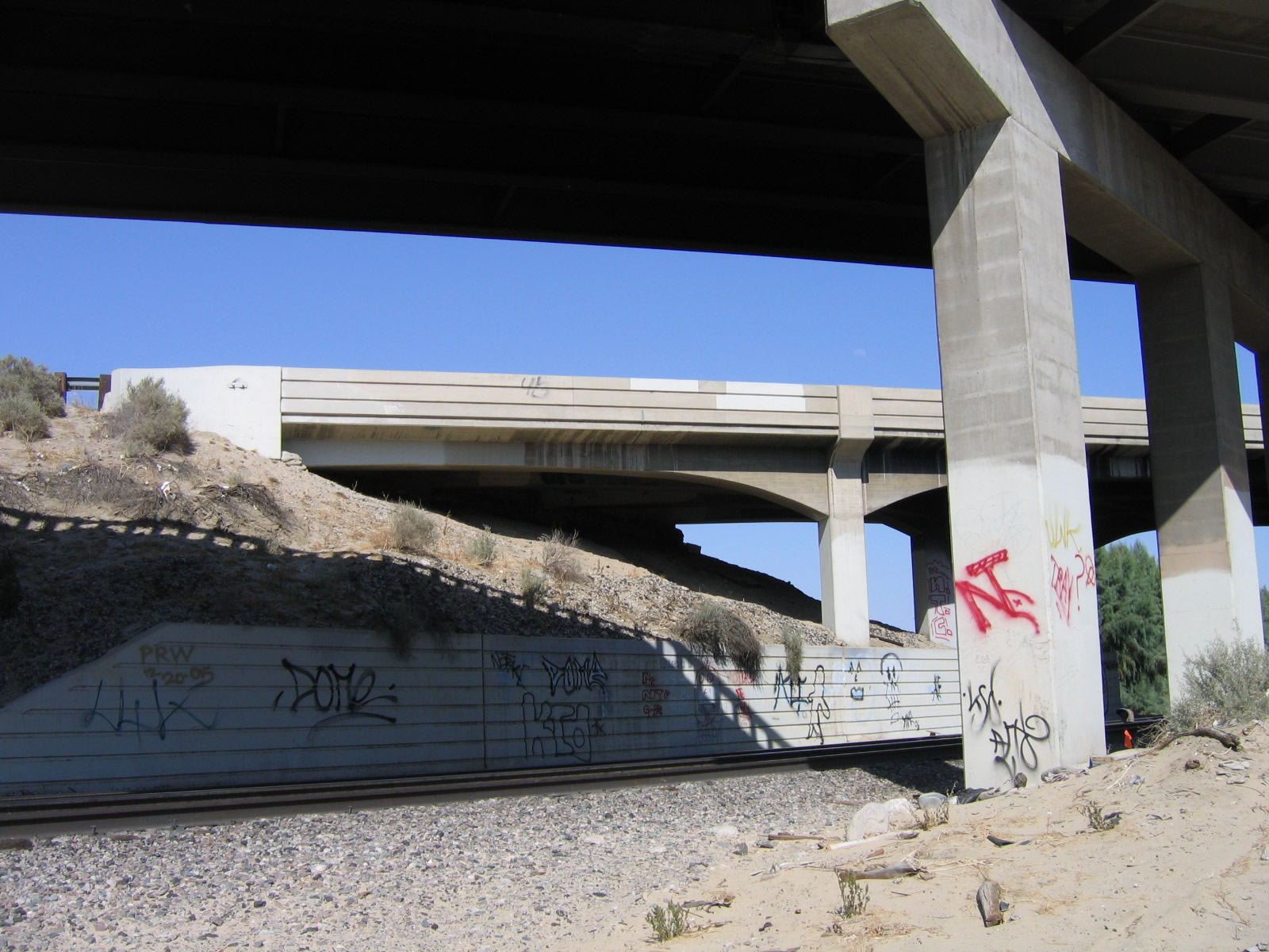
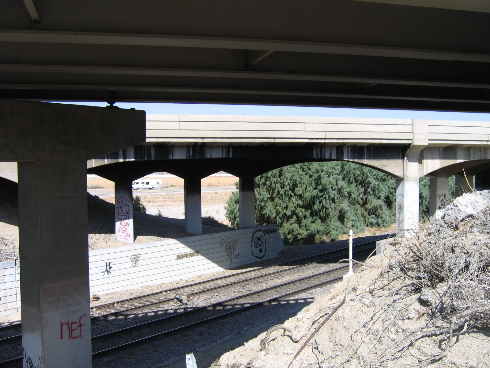
Interstate 10 and Indio overcrossing near Indio via Indio Boulevard and State Route 86 to Interstate 10 and Dillon Road.This business route remains signed in both directions from mainline Interstate 10. Built in 2009, the Dillon Road Grade Separation at the intersection of Indio Boulevard and Dillon Road is not an intuitive connection for traffic trying to follow Business Loop I-10 as there are no signs marking the through route.
The "City of Festivals," Indio had a population of 76,036 as of the 2010 Census, a significant increase from the population of 49,116 counted in the 2000 Census. The population increased further by the 2020 Census to 89,137. Sitting at an elevation of 13 feet below sea level, Indio lies at the confluence of Interstate 10, SR 86 and SR 111. Along with neighboring Coachella, Indio has also served as the historic junction between U.S. 60-70 and U.S. 99. East of Indio, U.S. 60 and U.S. 70 traveled toward Blythe and Phoenix while U.S. 99 turned south toward the Imperial Valley and Mexico.
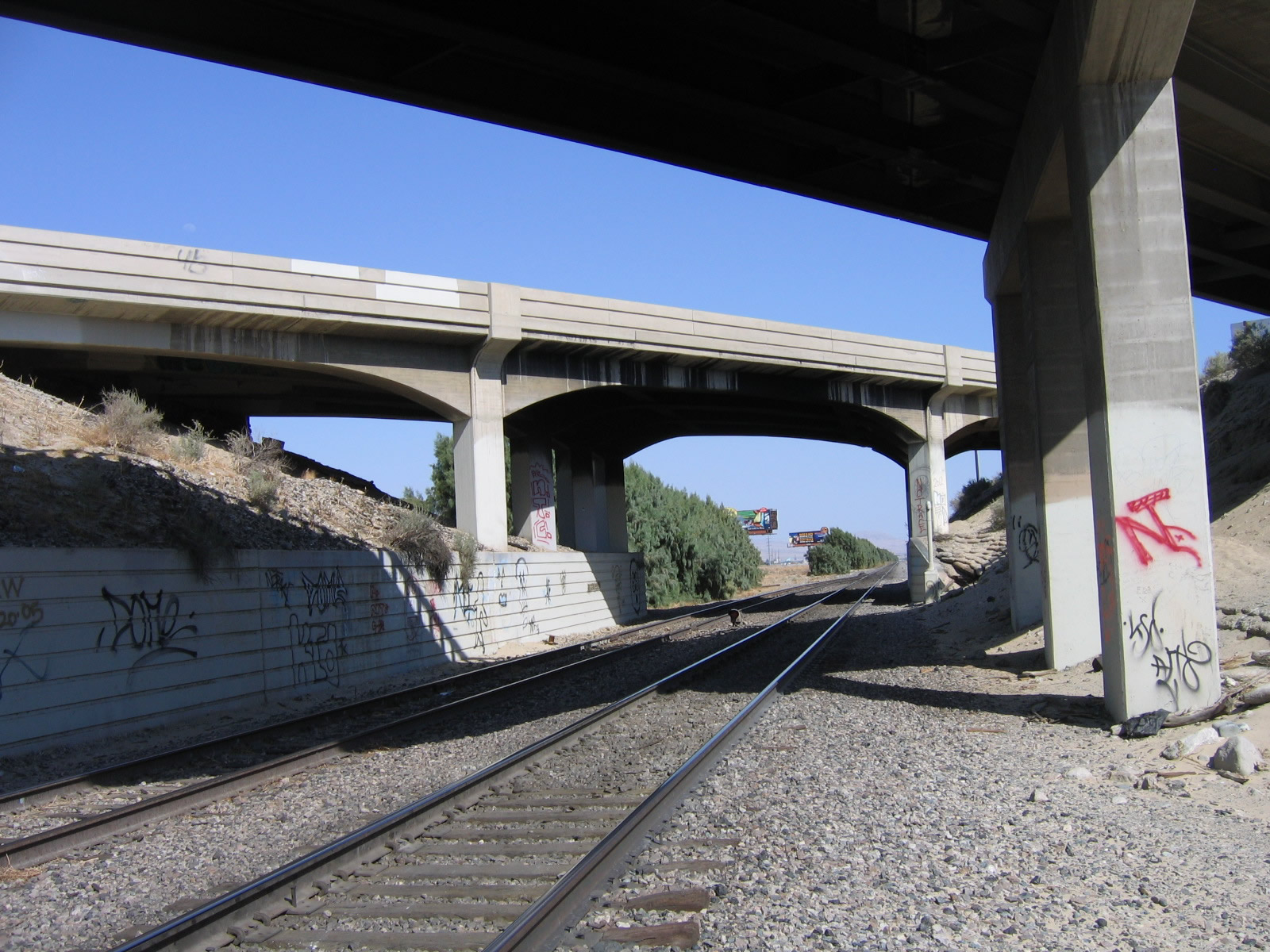
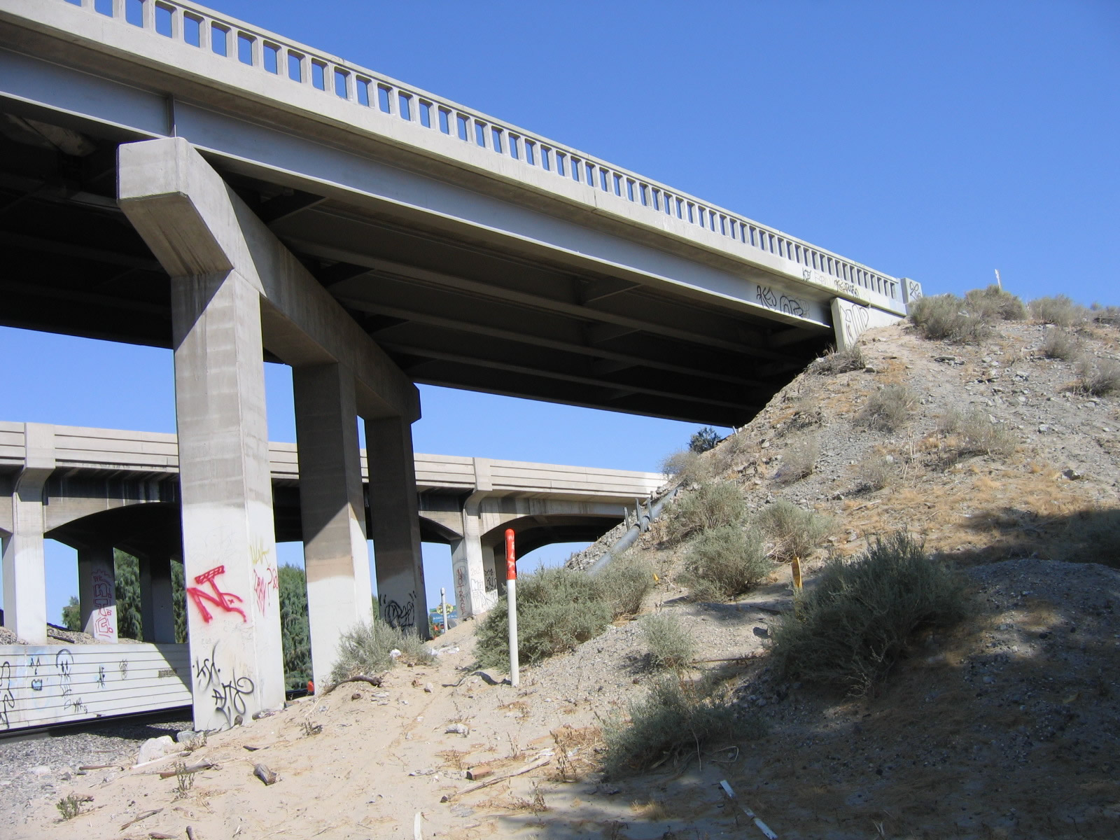
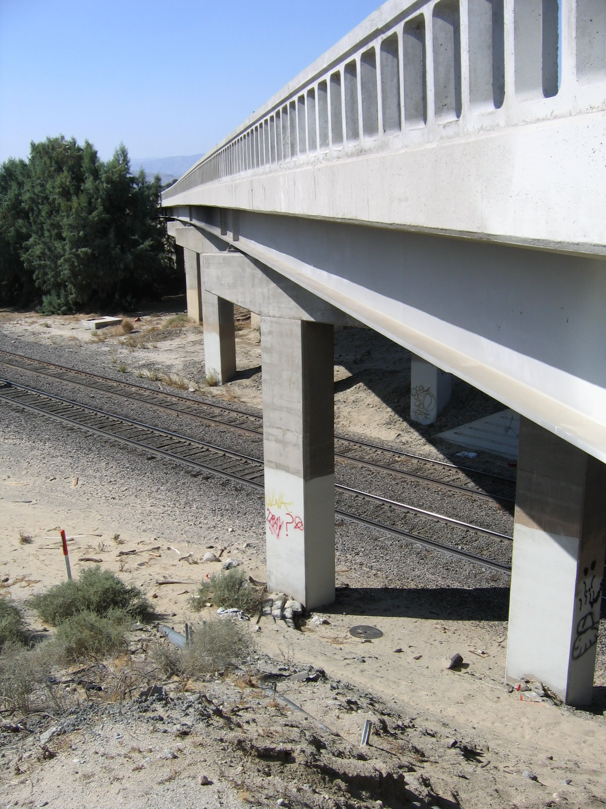
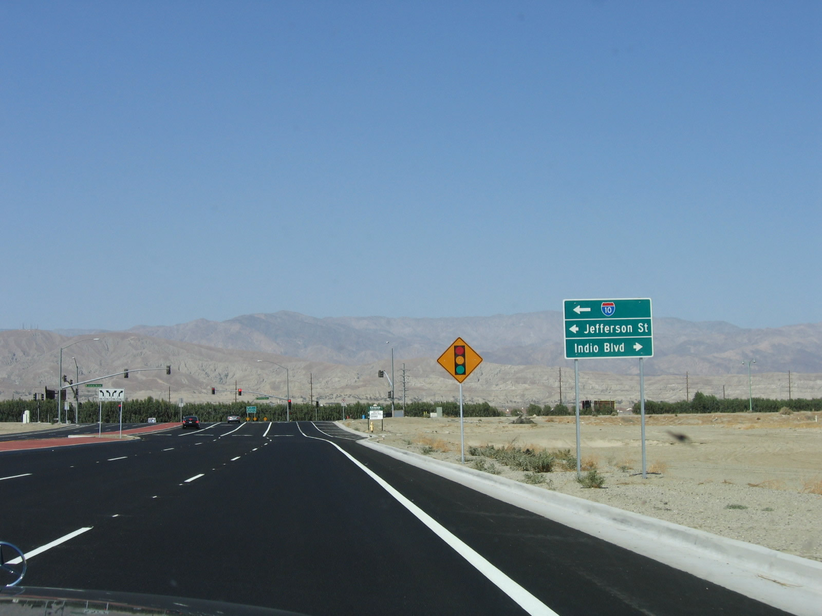
Jefferson Street (formerly Indio Boulevard) spans the Union Pacific Railroad line south of Interstate 10 in Indio across two bridges. The bridge along Jefferson Street southbound was built in 1956, while the northbound crossing dated back to 1936. 05/07/06
Northbound Jefferson Street at Indio Boulevard (Historic U.S. 60-70-99). Changes made by 2017 extended Jefferson Boulevard northwest over Interstate 10 to connect the two previously separate segments of the arterial.
05/07/06
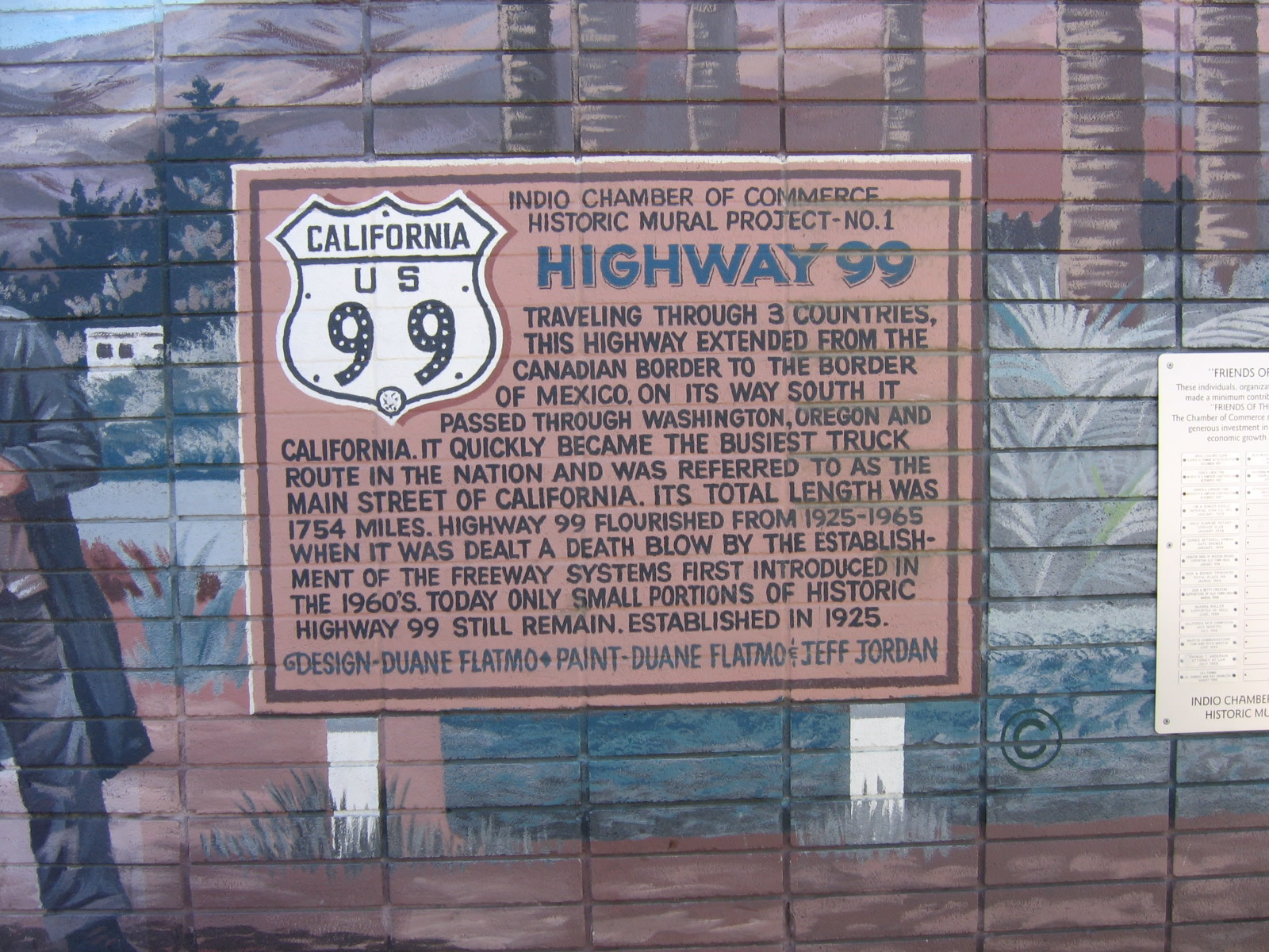
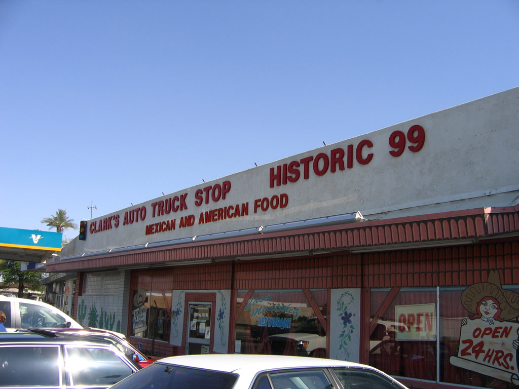
Located at Indio Boulevard and Sun Gold Street, Clark's Auto Travel Center at one time hosted a large collection of historical signs, many of which dated back to signs posted by the Automobile Club of Southern California (ACSC) as well as the California Division of Highways (CDOH). The historic sign display no longer in place as of 2008, but an exterior mural provides a background and history of U.S. 99, the "Main Street of California."
05/07/06
Photo Credits:
- Andy Field: 05/07/06
Connect with:
Page Updated Wednesday August 06, 2025.