
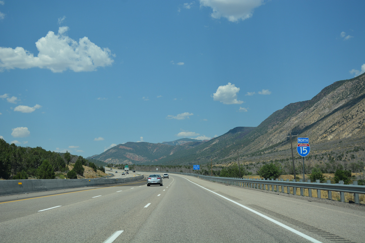
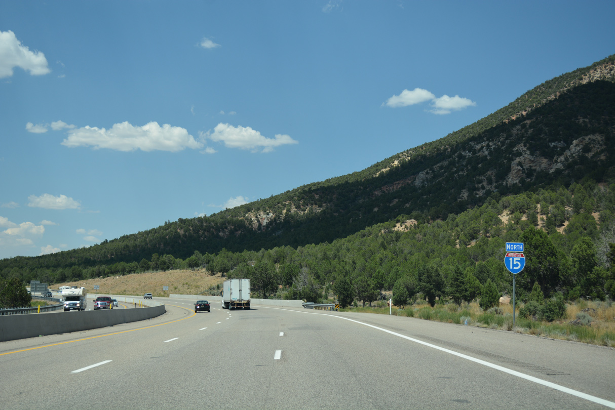
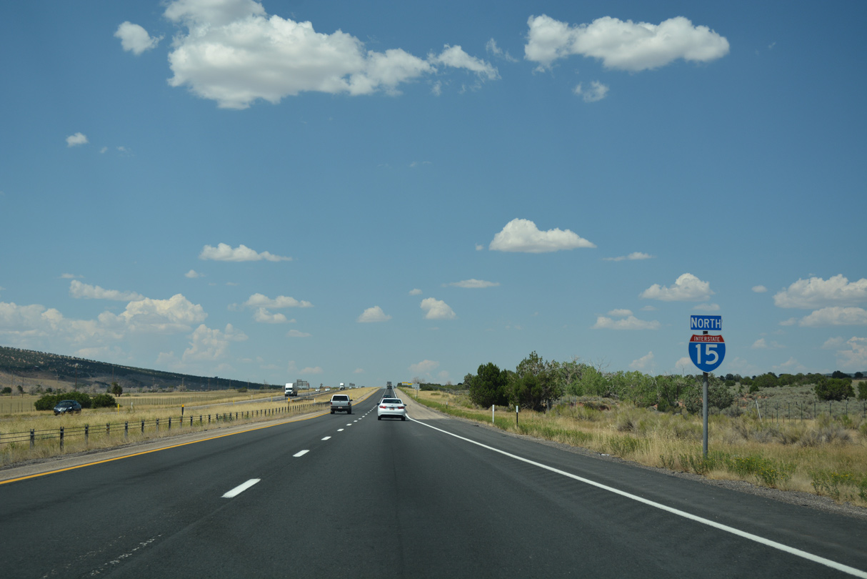
Interstate 15 North - Kanarraville to Parowan
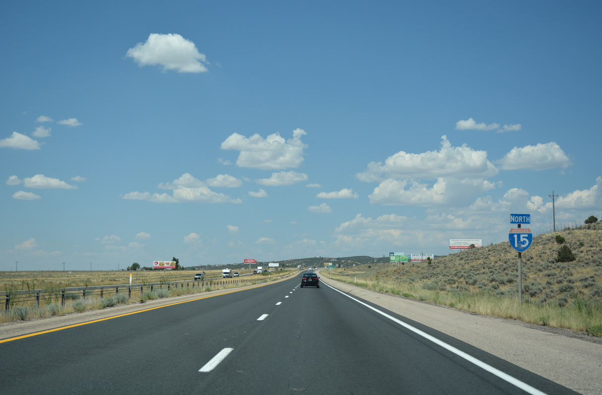
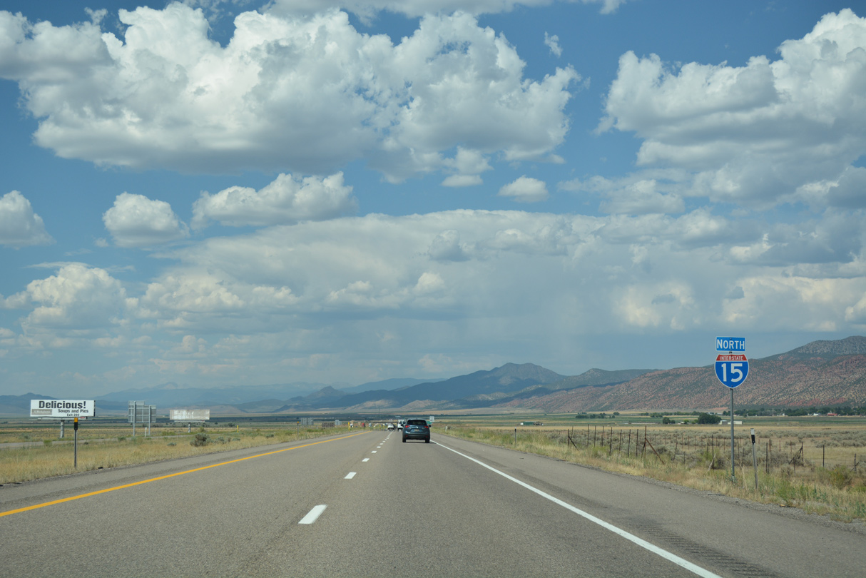
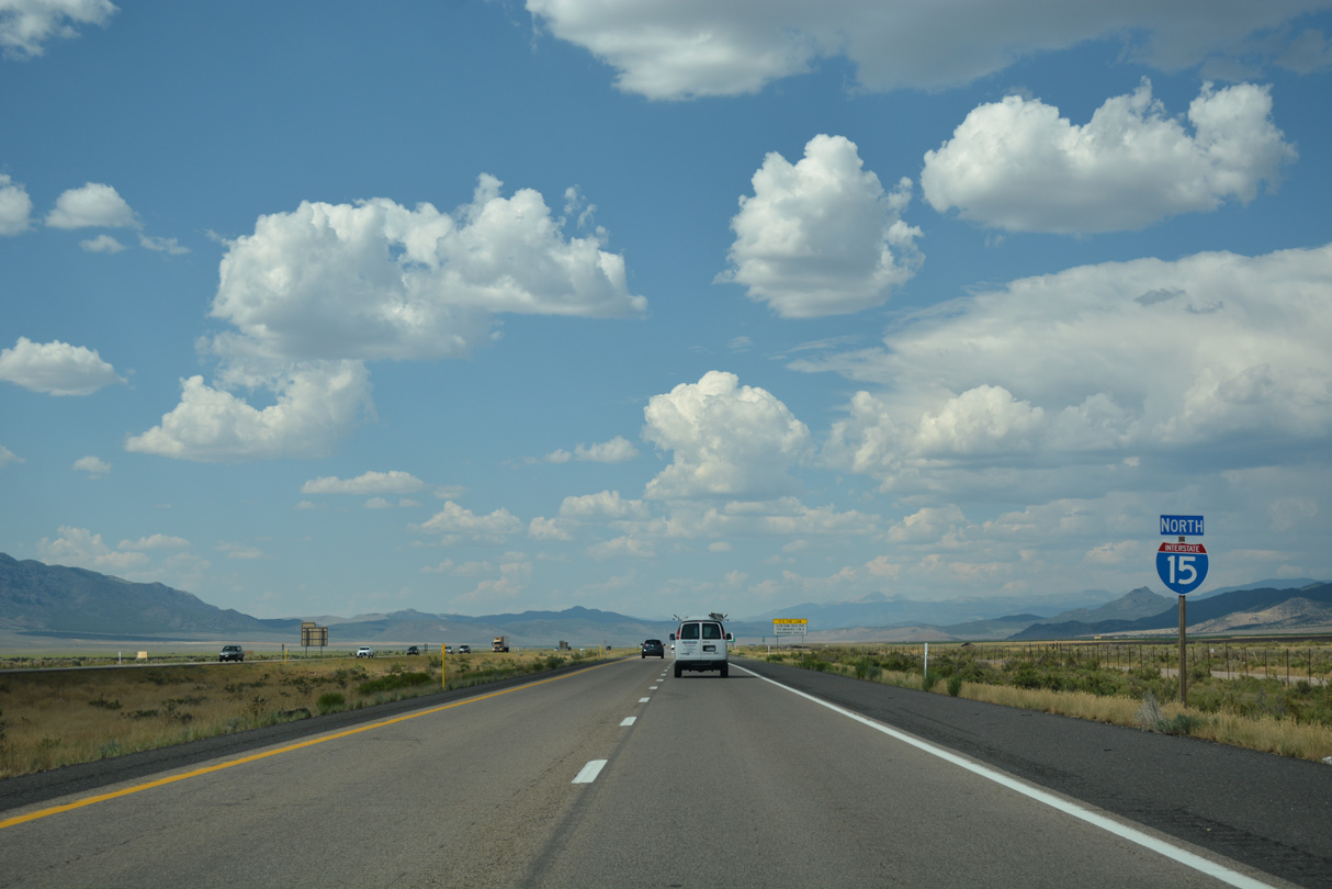
 North
North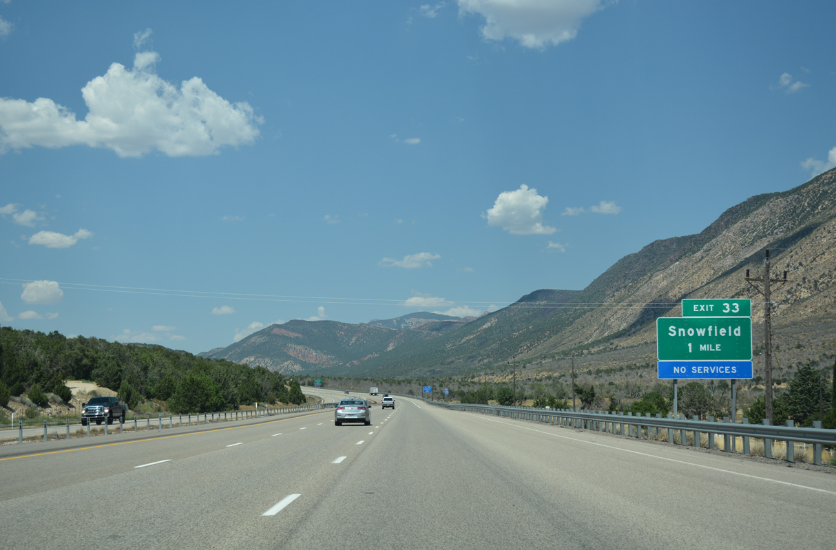
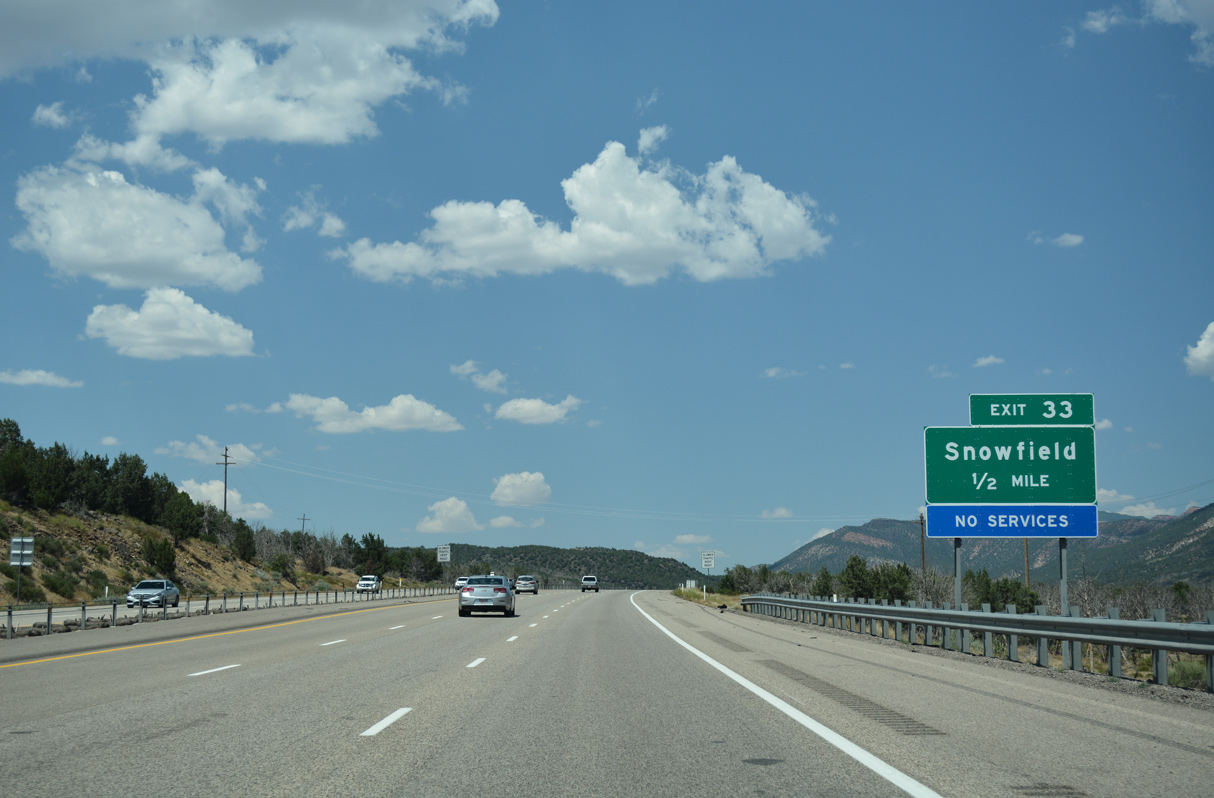
Exit 33 for Snowfield was originally signed as "Ranch Exit."
07/15/17
07/15/17
07/15/17
07/15/17
07/15/17
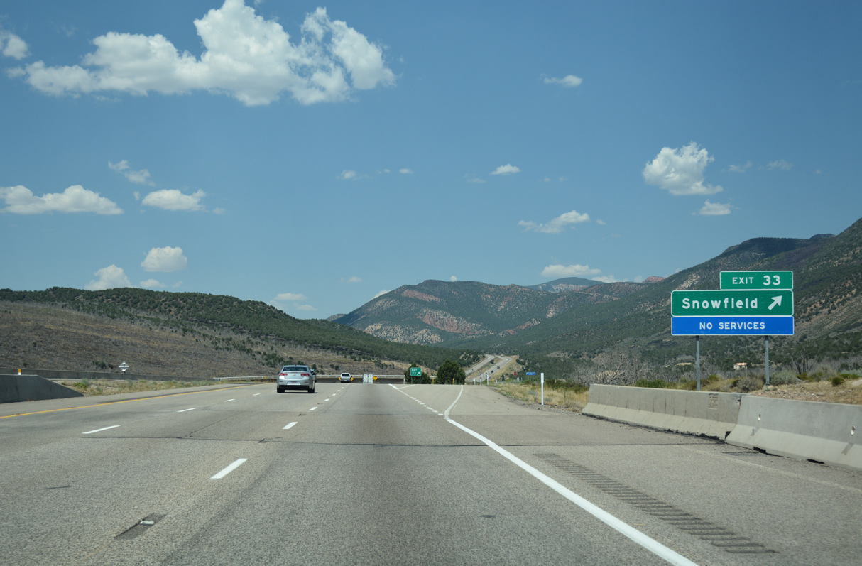
The diamond interchange at Exit 33 provides access to another extant, discontinuous segment of old U.S. 91, located to the east along Snowfield Ranch Road.
07/15/17
07/15/17
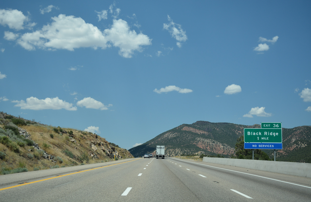
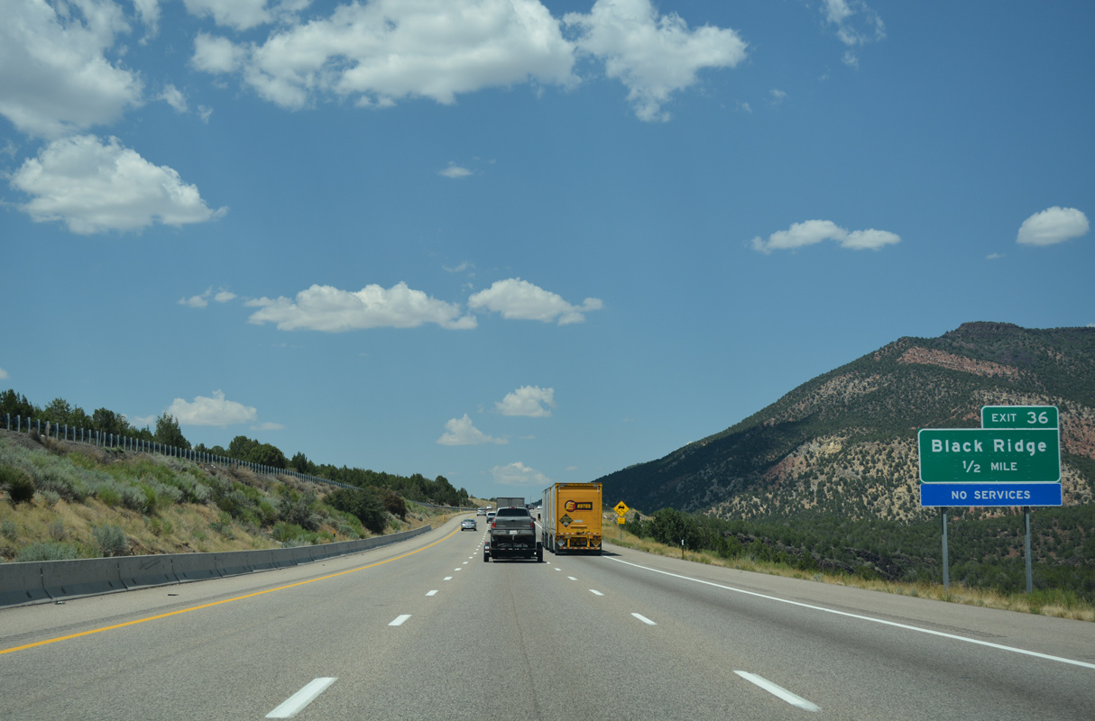
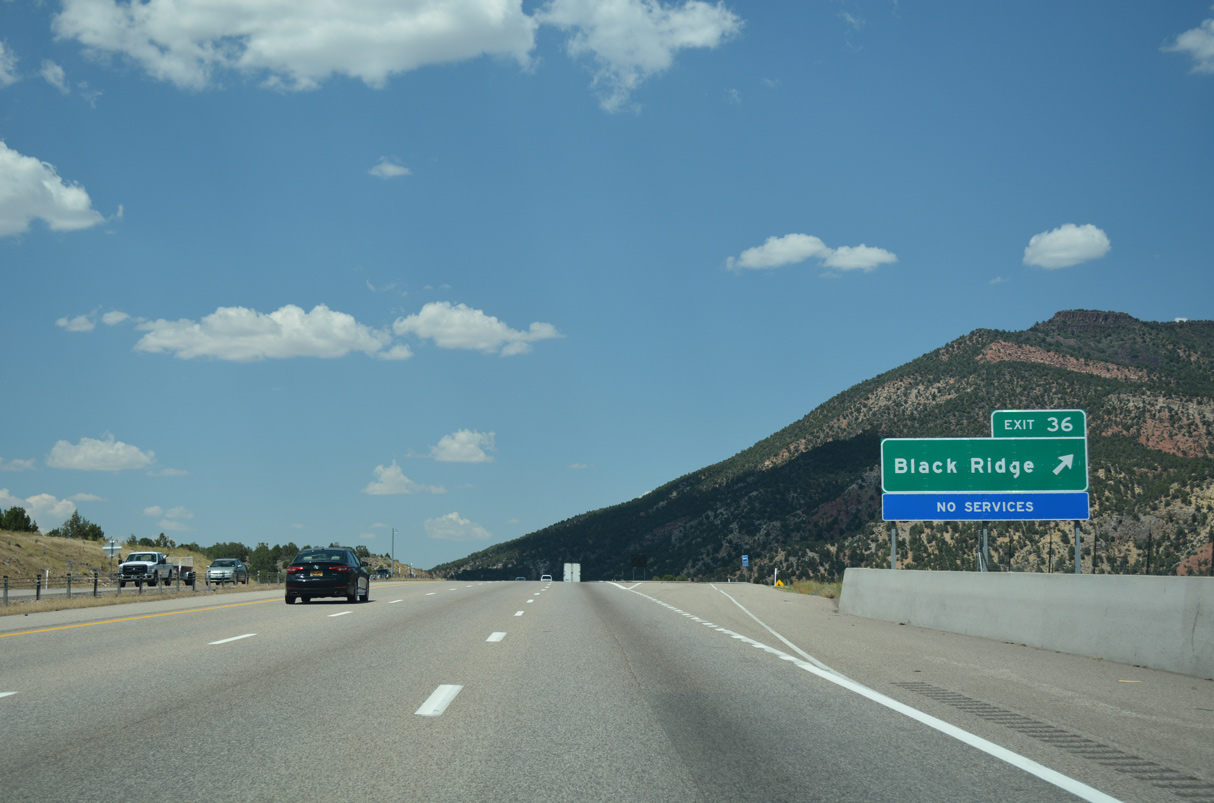
Another section of Old U.S. 91 branches west from Interstate 15 at Exit 36 to Ash Creek Reservoir.
07/15/17
07/15/17
07/15/17
Old Highway 91 meanders north from the diamond interchange at Exit 36 to a number of rural residential streets, returning to I-15 at the succeeding exit.
07/15/17
07/15/17
Interstate 15 spans Ash Creek adjacent to Deadman Hollow.
07/15/17
07/15/17
The Harmony Mountains come into view along Interstate 15 north by Ash Creek Reservoir.
07/15/17
07/15/17
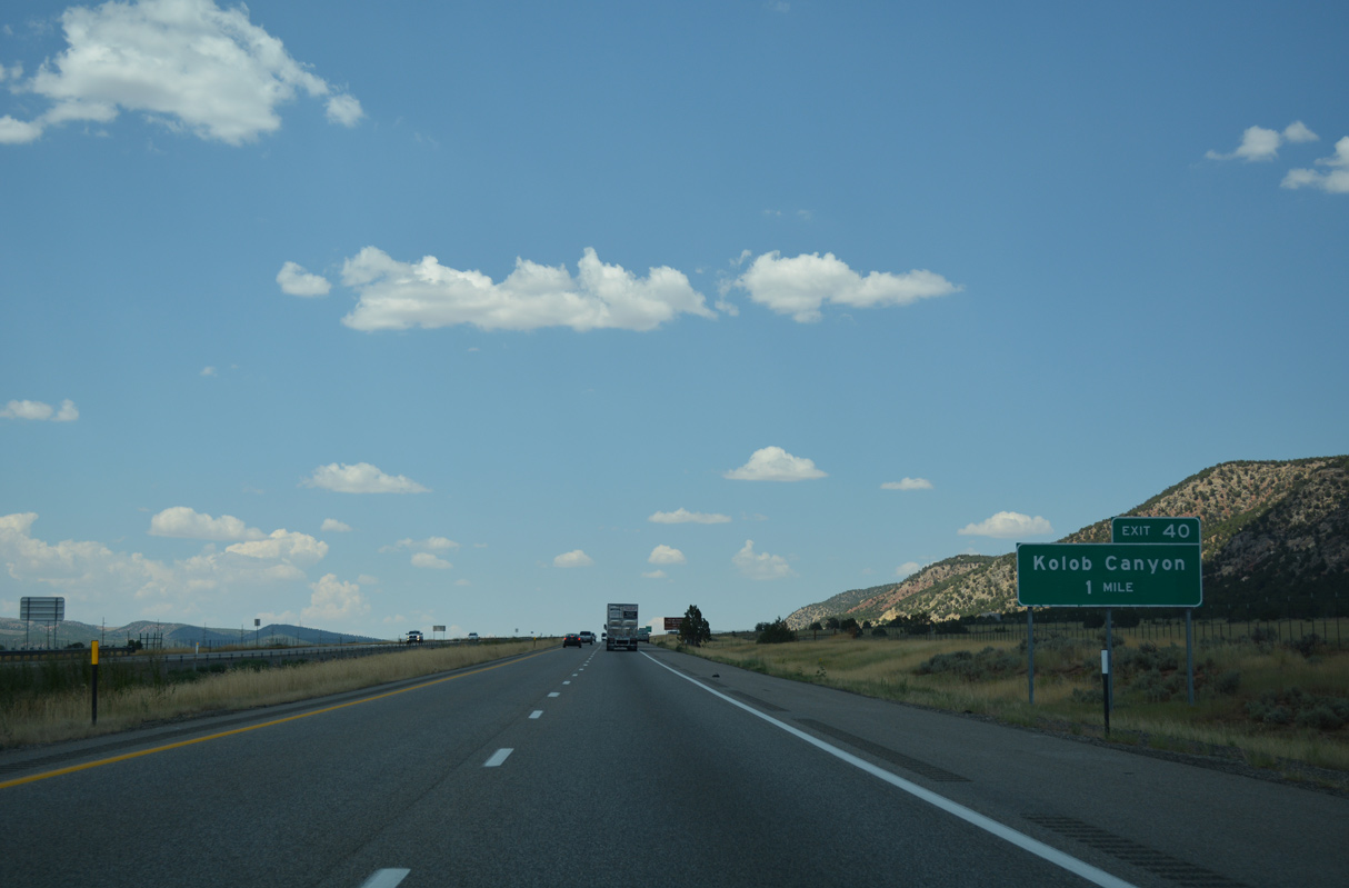
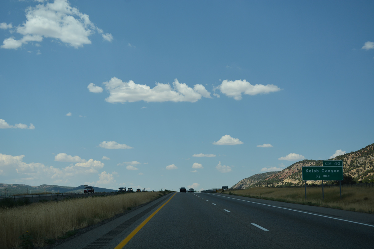
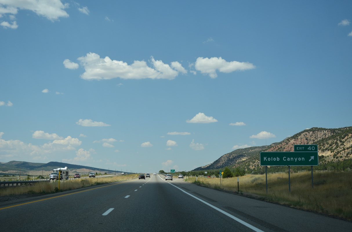
A highly recommended side trip for sightseeing, hiking, picnicking or photography, Exit 40 serves the Kolob Canyons unit of Zion National Park.
07/15/17
07/15/17
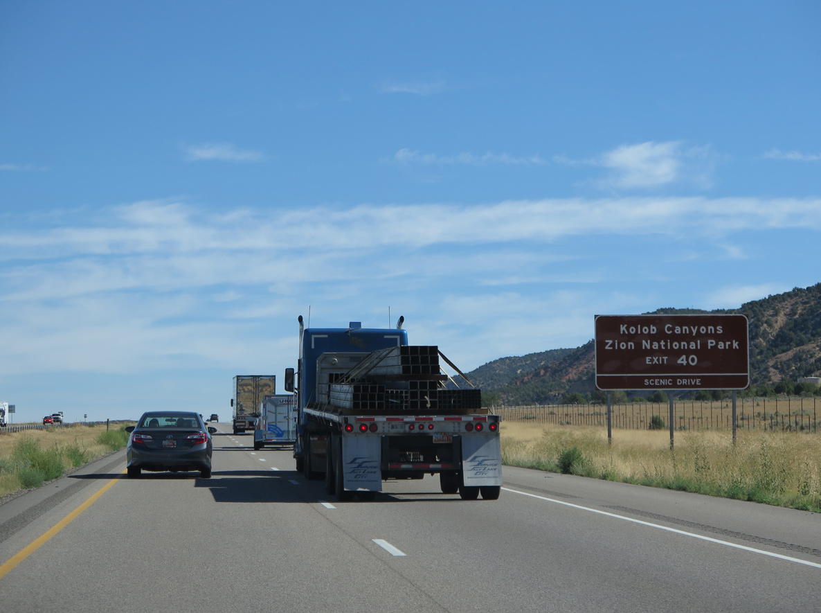
Kolob Canyons Road is a scenic route leading into the northernmost section of Zion National Park, where the red rock Kolob Canyons are located.
08/09/14
08/09/14
Old Highway 91 ties into the diamond interchange at Exit 40 from the west. Inaccessible from the rest of Zion, Kolob Canyon may only be reached east from the exchange.
07/15/17
07/15/17
Providing some of the most amazing scenery in a land of scenic superlatives, especially during the hours of the evening sunset, Kolob Canyon Road spurs southeast into the Naitonal Park by Nagunt Mesa (el. 7,785 feet) and Timber Top Mountain (el. 8,048 feet).
07/15/17
07/15/17
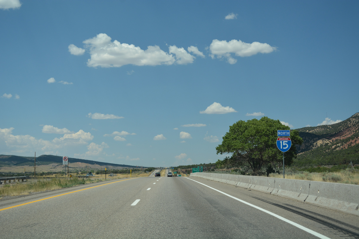
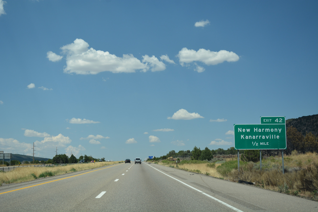
The western boundary of Zion National Park parallels Interstate 15 from Exit 42 north to Taylor Creek.
07/15/17
07/15/17
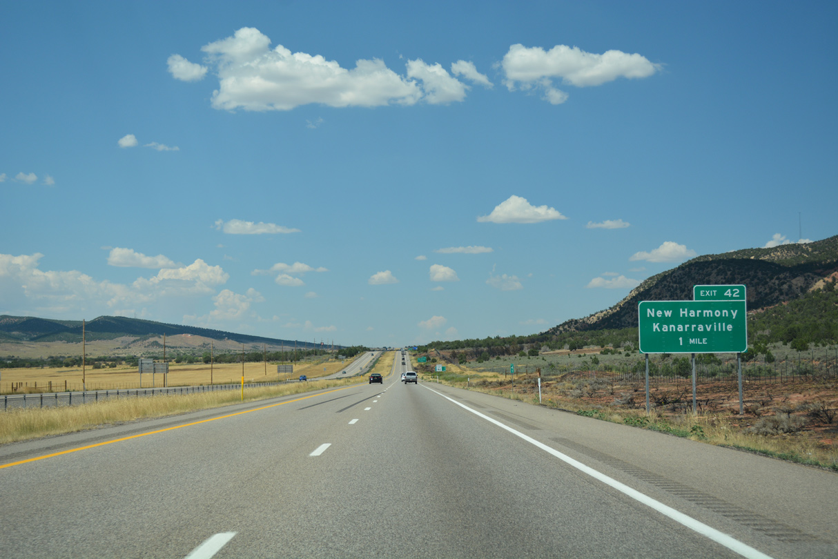
County Route 1752 (New Harmony Road) links I-15 with adjacent Old Highway 91 (3900 East) at Exit 42.
07/15/17
07/15/17
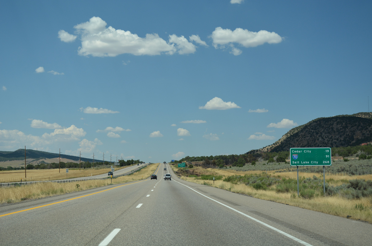
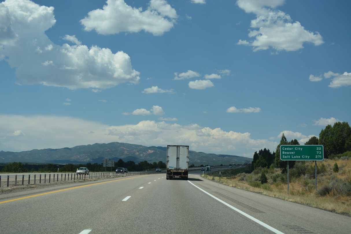
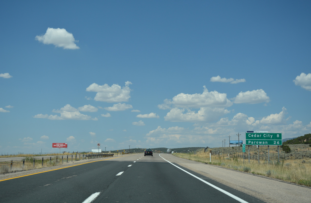
The next services available on I-15 north are located at Cedar City, 19 miles ahead.
07/15/17
07/15/17
Leading north into the town Kanarraville along Main Street, Old Highway 91 (Historic U.S. 91) diverges from Interstate 15 east of Exit 42.
07/15/17
07/15/17
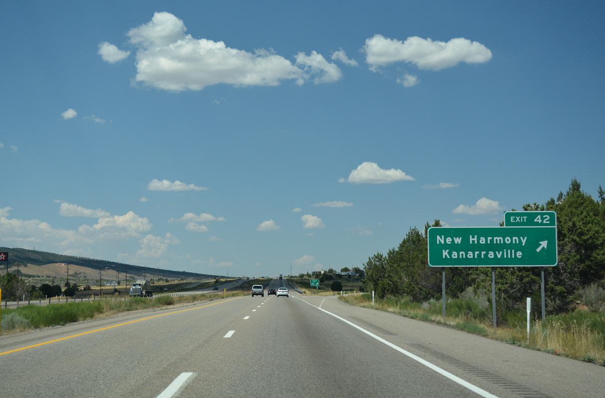
Highway 144 leads 4.5 miles west from Exit 42 to Center Street in the town of New Harmony.
07/15/17
07/15/17
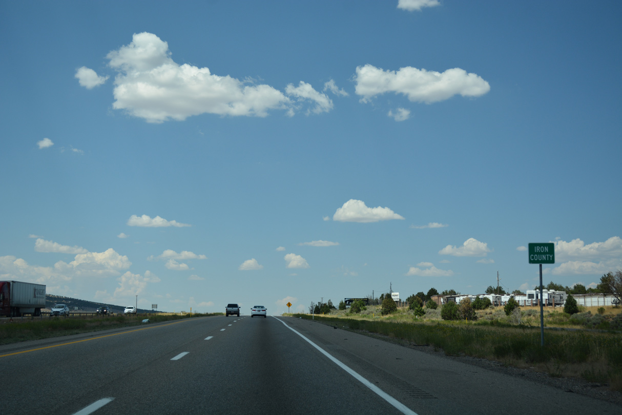
Interstate 15 enters Iron County northbound within the diamond interchange at Exit 42.
07/15/17
07/15/17
Interstate 15 passes west of Horse Ranch Mountain (el. 8,733 feeet) and Bean Hill (el. 9,085 feet).
07/15/17
07/15/17
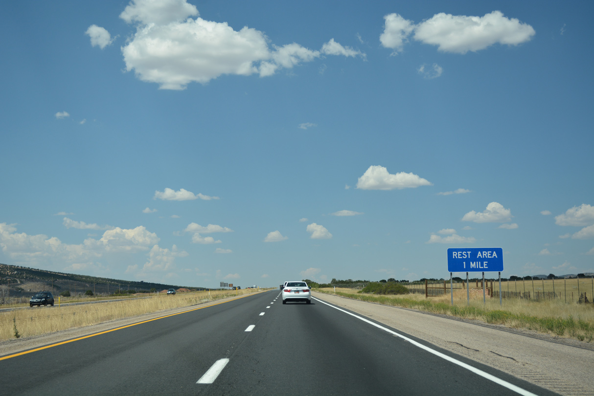
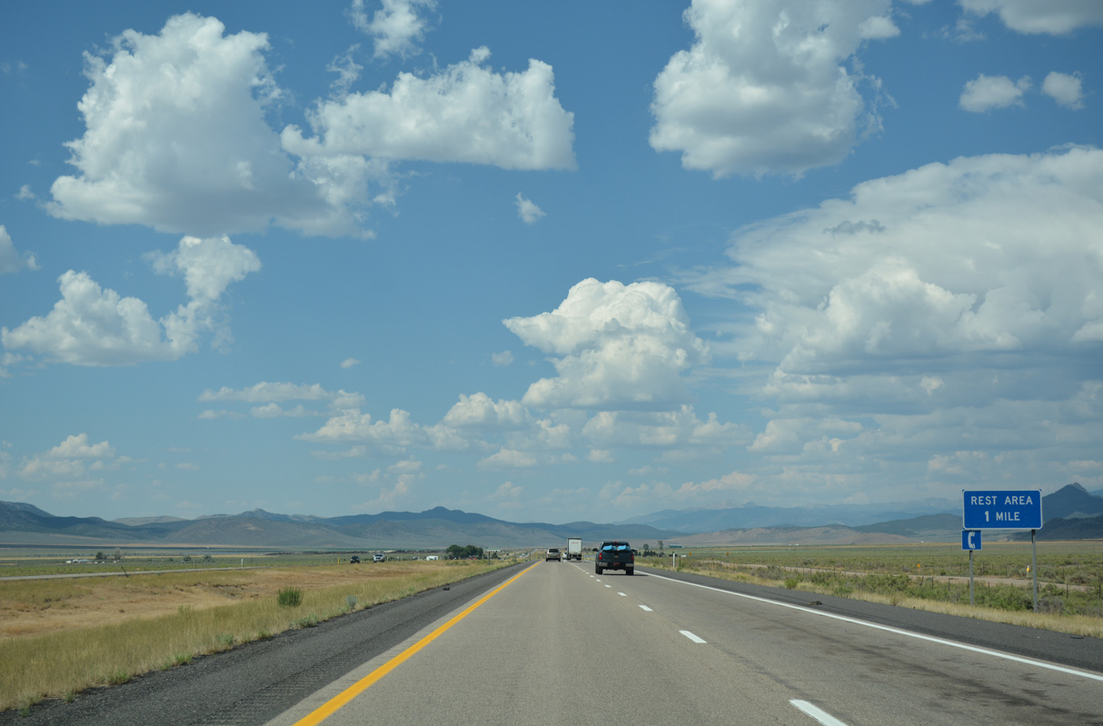
With the closure of the Utah Welcome Center due to construction of the SPUI with SR 7 at Exit 4, the rest area at mile marker 44 is the first along Interstate 15 north in the state.
07/15/17
07/15/17
07/15/17
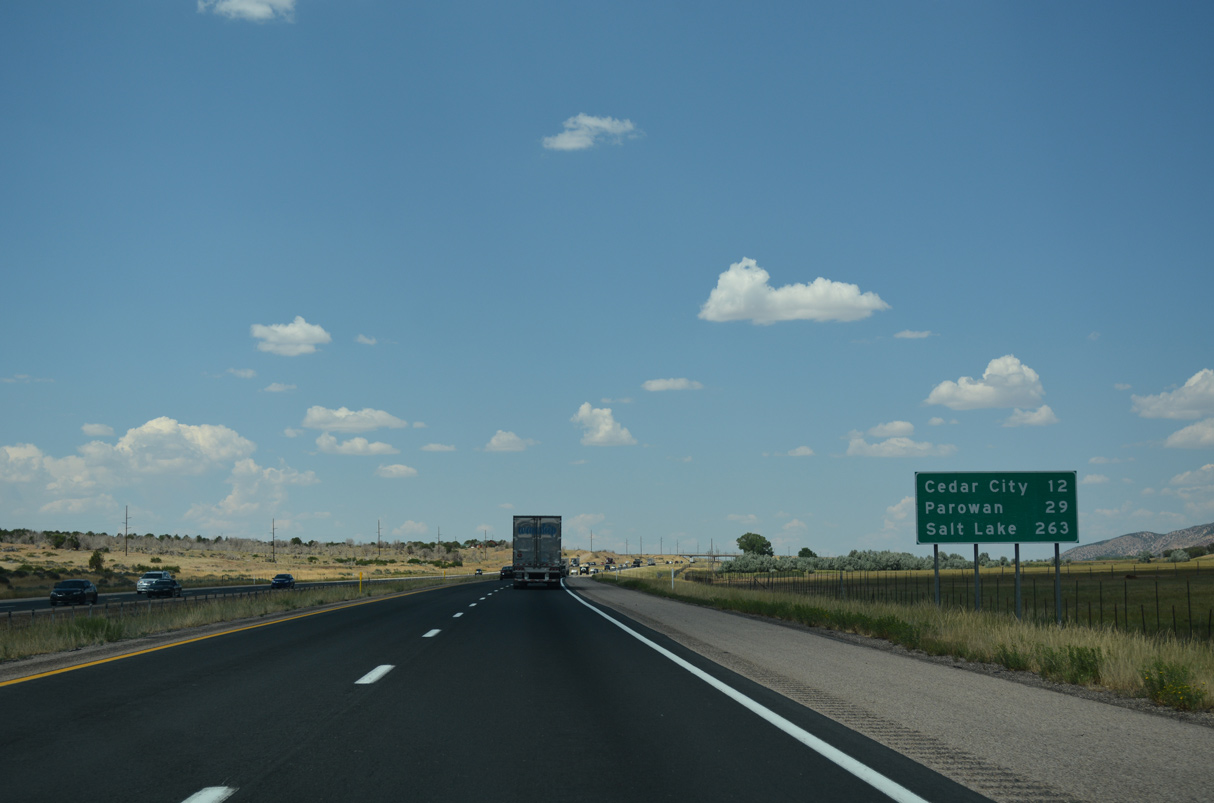
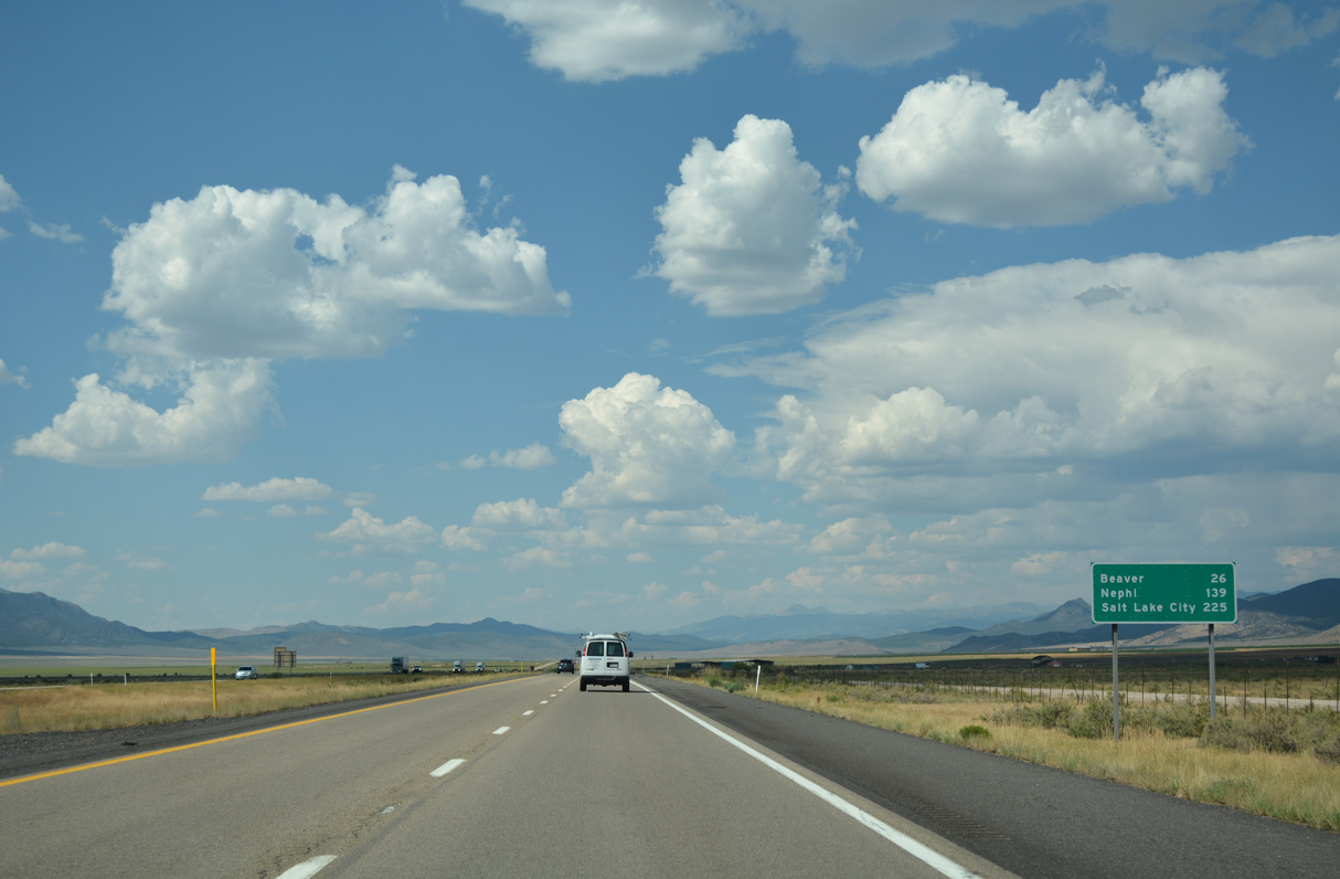
Older designed distance signs with Salt Lake City in Utah omit City from the name.
07/15/17
07/15/17
Missing in 2003, the exit tab on the initial guide sign for the diamond interchange at Exit 51 was still omitted as of April 2021.
08/09/14
08/09/14
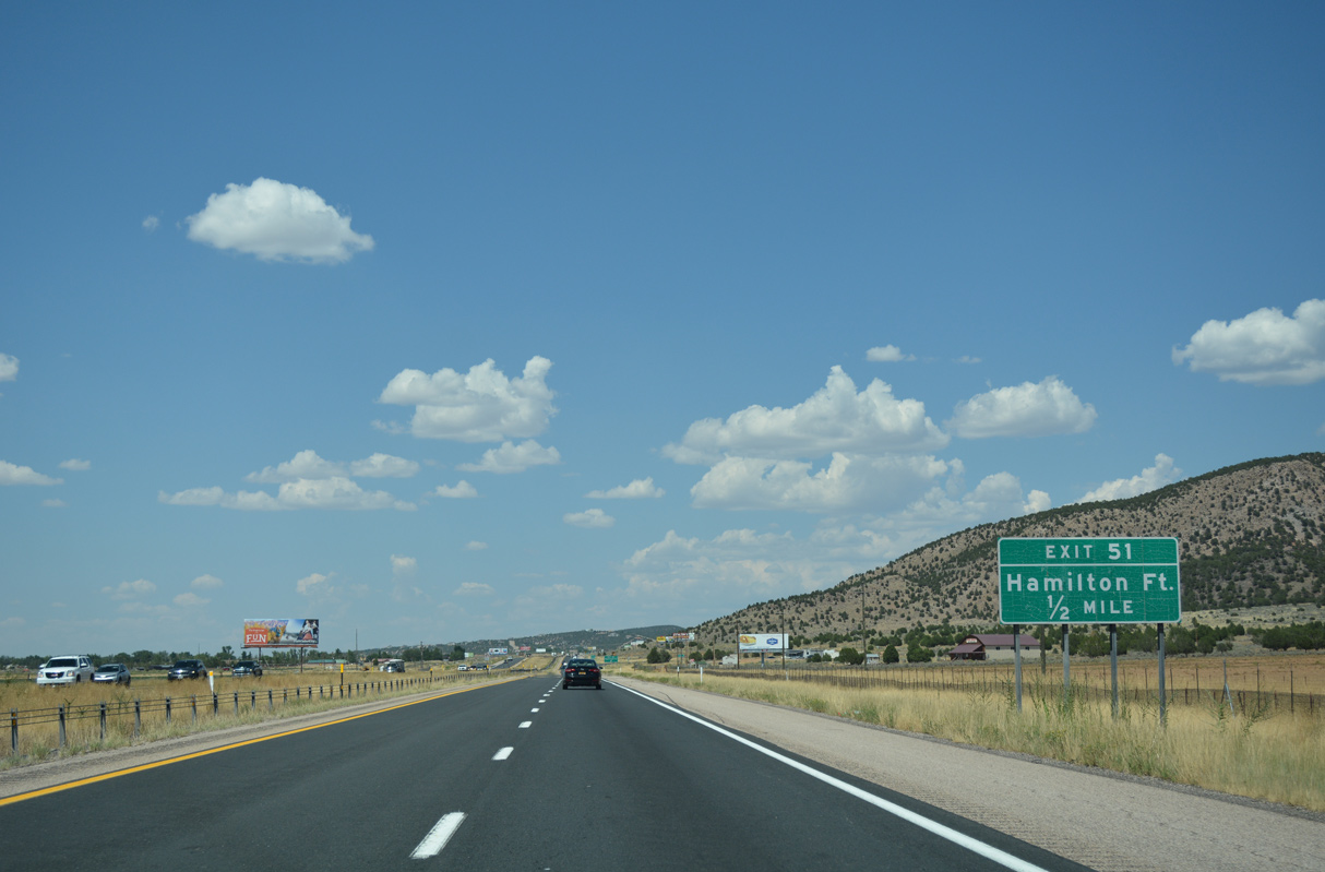
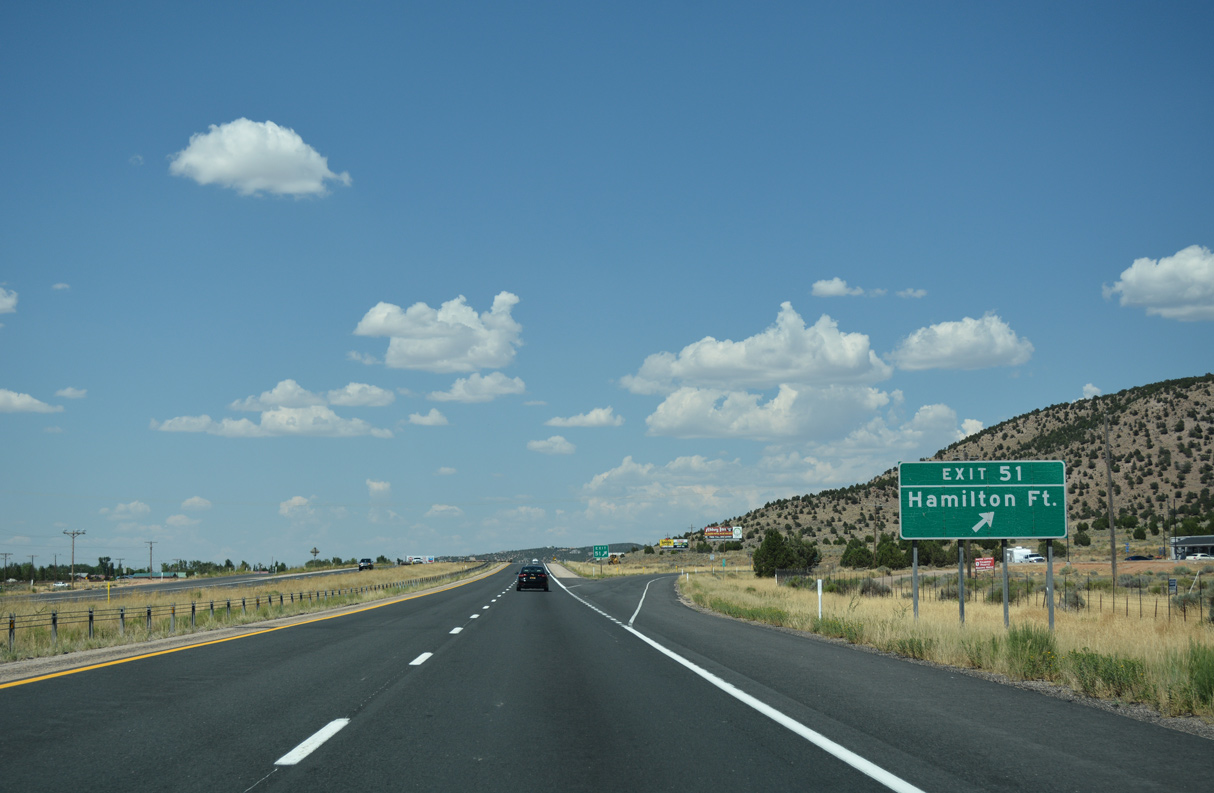
Old U.S. 91 returns to Interstate 15 north from Main Street in Kanarraville at Exit 51.
07/15/17
07/15/17
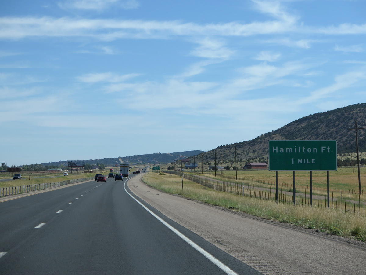
North from Exit 51, Old Highway 91 shifts to the west side of Interstate 15 en route to the unincorporated community of Hamilton Fort.
07/15/17
07/15/17
07/15/17
07/15/17

Curving northeast, Interstate 15 continues to Cedar City east of the Cross Hollow Hills.
08/09/14
08/09/14
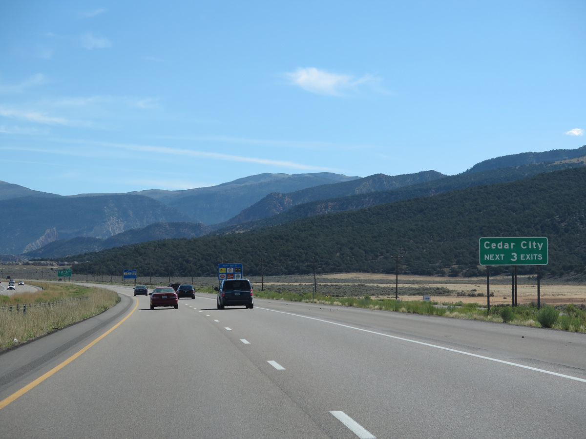
Home to Southern Utah University, Cedar City is known as the City of Festivals. With a population of 35,235 as of the 2020 Census, the largest city in Iron County sits at an altitude of 5,800 feet. The city receives 45.4 inches of snow annually with temperature ranging from the 40s in January to upper 80s in July.
08/09/14
08/09/14

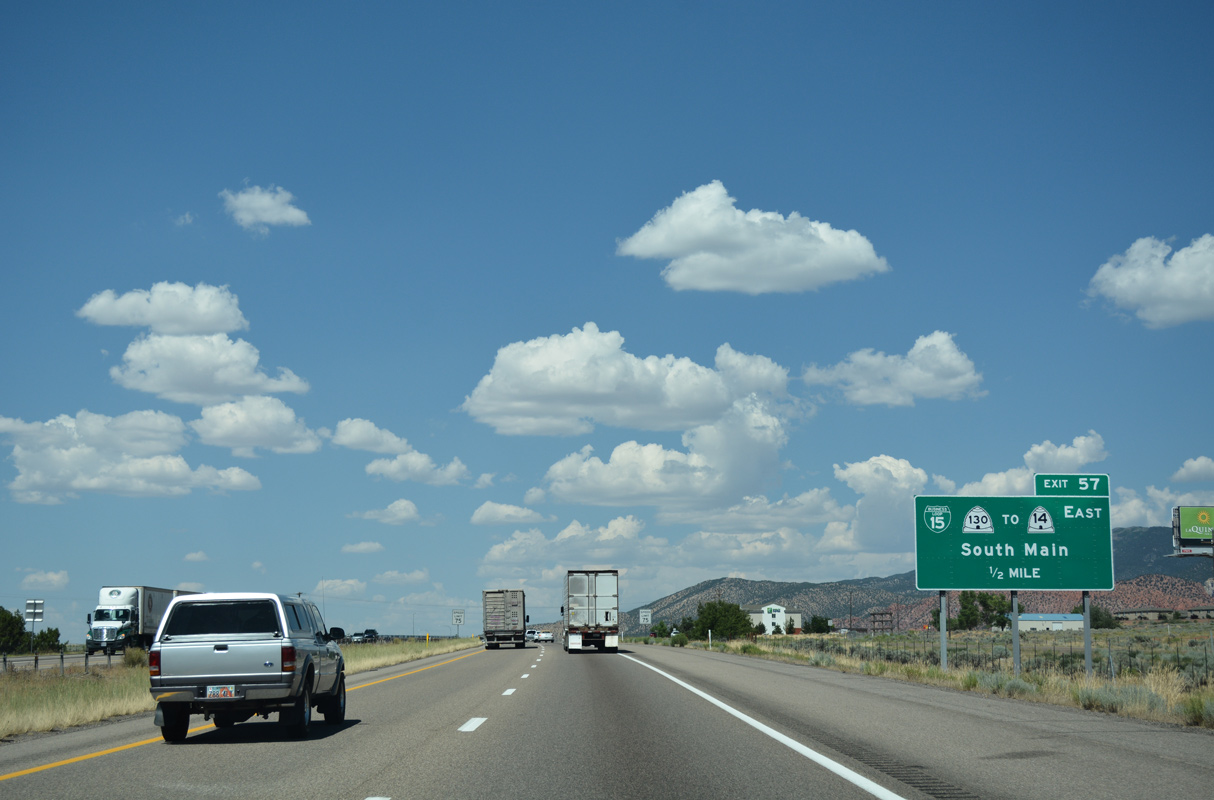
Business Loop I-15 branches northeast from Exit 57 along SR 130 (Main Street) to SR 14 (Center Street) in Downtown Cedar City. Crossing Markagunt Plateau at Midway Summit (el. 9,896 feet), SR 14 connects with SR 148 north to Cedar Breaks National Monument.
07/15/17
07/15/17
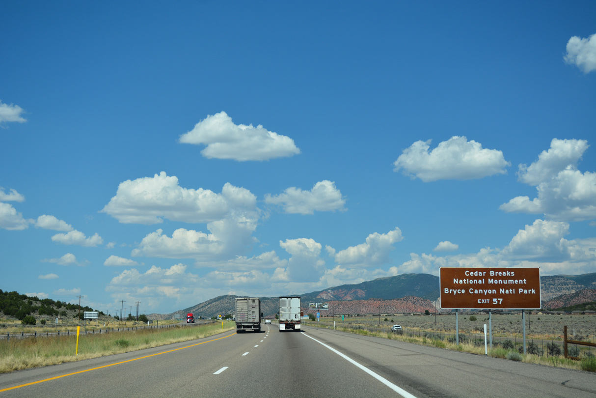
The expansive Pink Cliffs punctuate Cedar Breaks National Monument. East from SR 148, SR 14 to U.S. 89 north and SR 12 east leads to Bryce Canyon National Park and Grand Staircase Escalante National Monument.
07/15/17
07/15/17
Business Loop I-15/SR 130 (S Main Street) connects with SR 289, a 1.93 mile long loop west to Southern Utah University via Center Street.
07/15/17
07/15/17
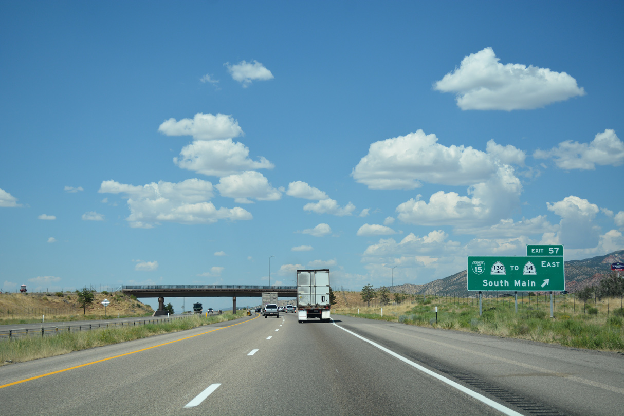
SR 130 concludes just west of I-15 on Cross Hollow Road at Royal Hunte Drive. Constructed in 2014-15, the DDI at Exit 57 replaced a wye interchange located just to the south.
07/15/17
07/15/17
Situated on the Paunsaugunt Plateau, hoodoos (rock formations caused by centuries of water and wind erosion of gorgeous sandstone, limestone and mudstone) populate the landscape at Bryce Canyon National Park.
07/15/17
07/15/17
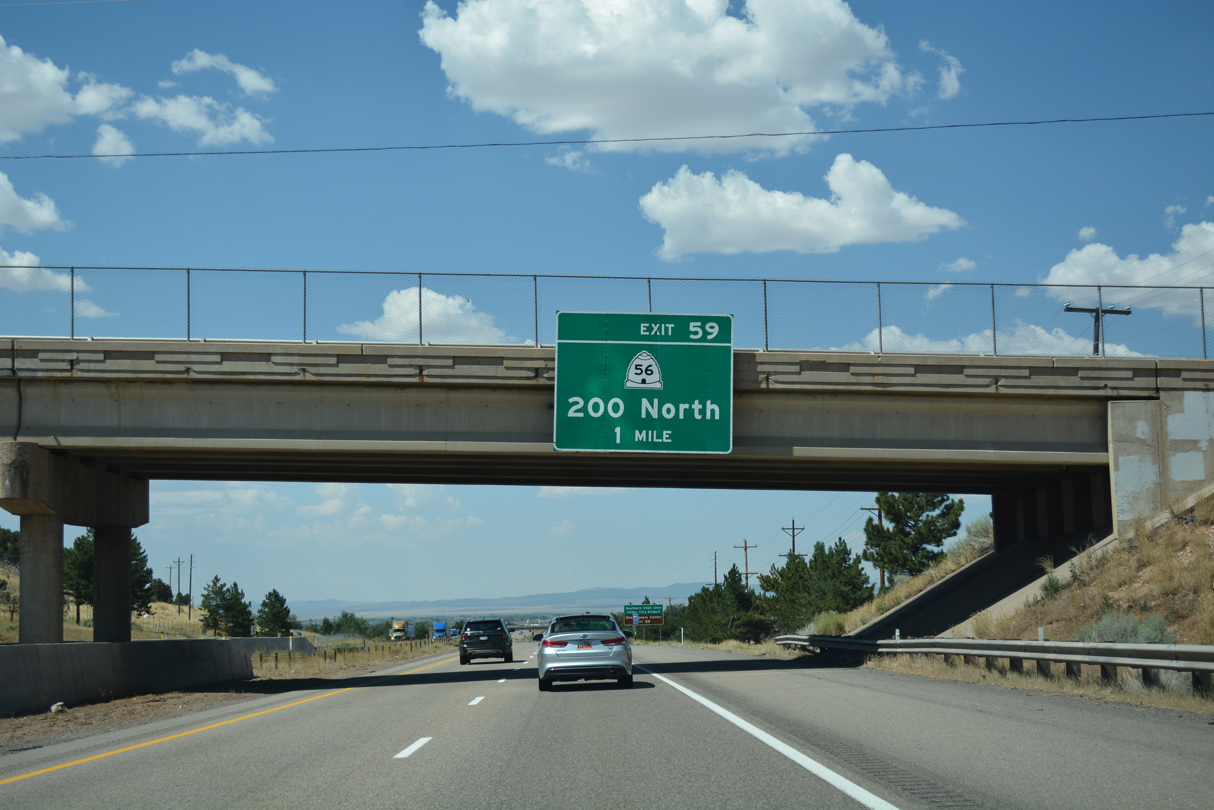
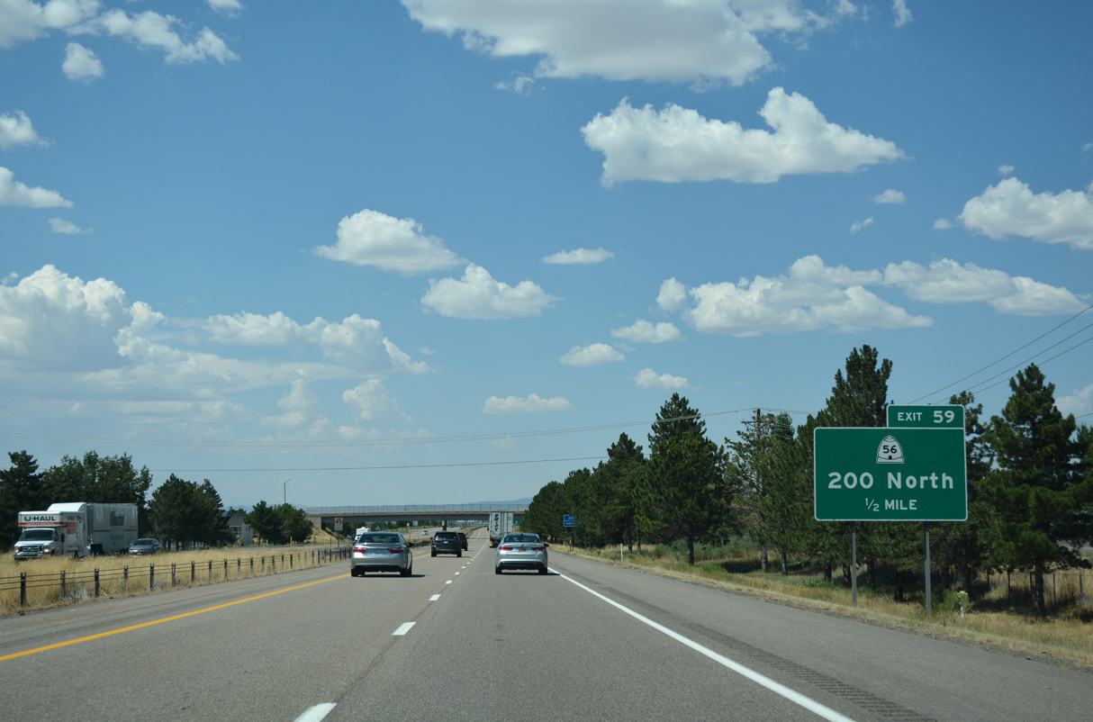
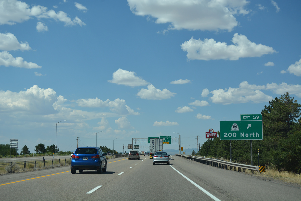
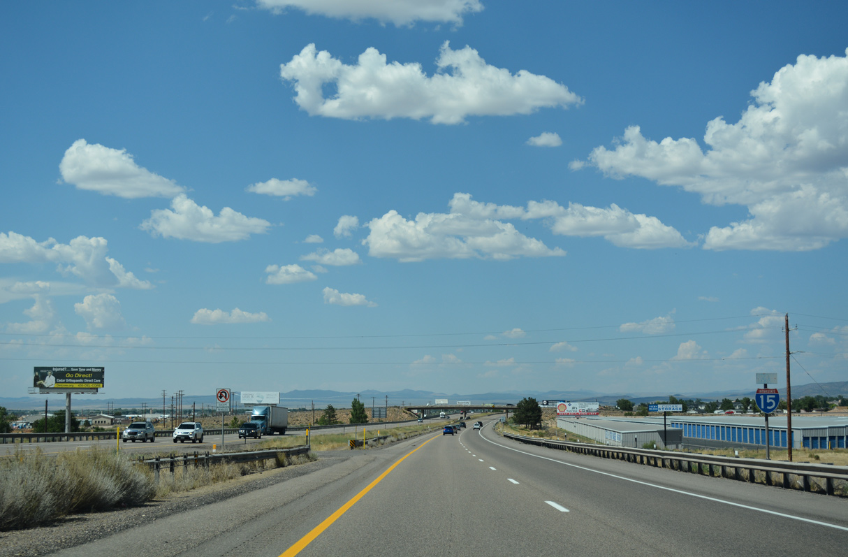
The succeeding exit from I-15 north is with SR 56 (200 North) east to Cedar City and west to Modena and Panaca, Nevada.
07/15/17
07/15/17

Cedar City Regional Airport (CDC) lies northwest of Exit 59 off SR 56 and Aviation Way. A renowned feature of Southern Utah University is its Shakespeare Festival.
08/09/14
08/09/14
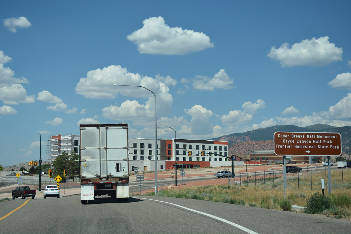
SR 56 (200 North) east to Business Loop I-15/SR 130 (Main Street) north leads visitors to Frontier Homestead State Park. The park features a museum that describes the history of Iron County, including how its namesake was used in the settlement of the region.
07/15/17
07/15/17
Measuring 61.51 miles in length, SR 56 travels west from Business Loop I-15/SR 130 to Nevada State Route 319. SR 319 extends west to Panaca and U.S. 93.
07/15/17
07/15/17
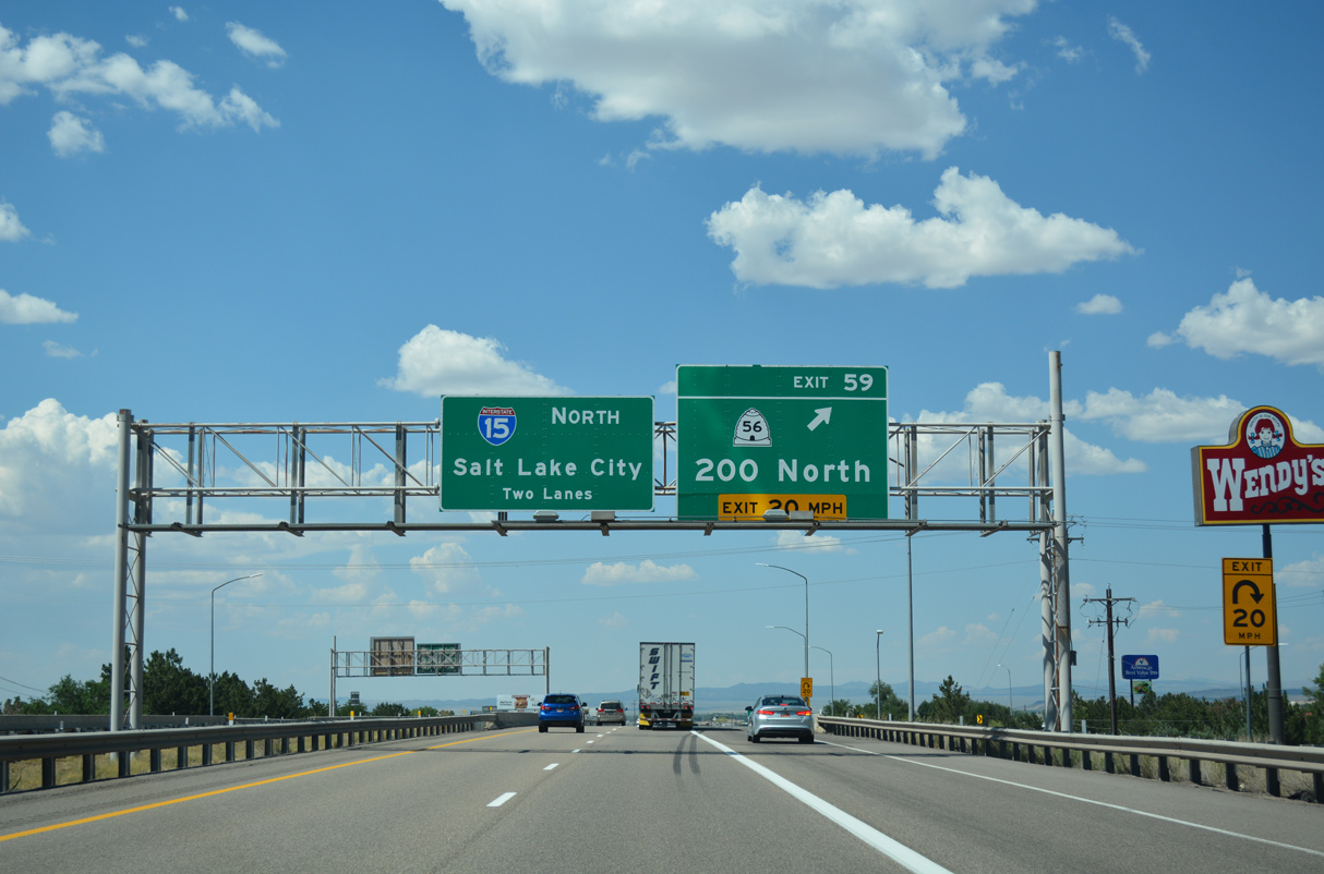
A parclo B2 interchange links Interstate 15 and SR 56 (200 North) at Exit 59.
07/15/17
07/15/17
07/15/17
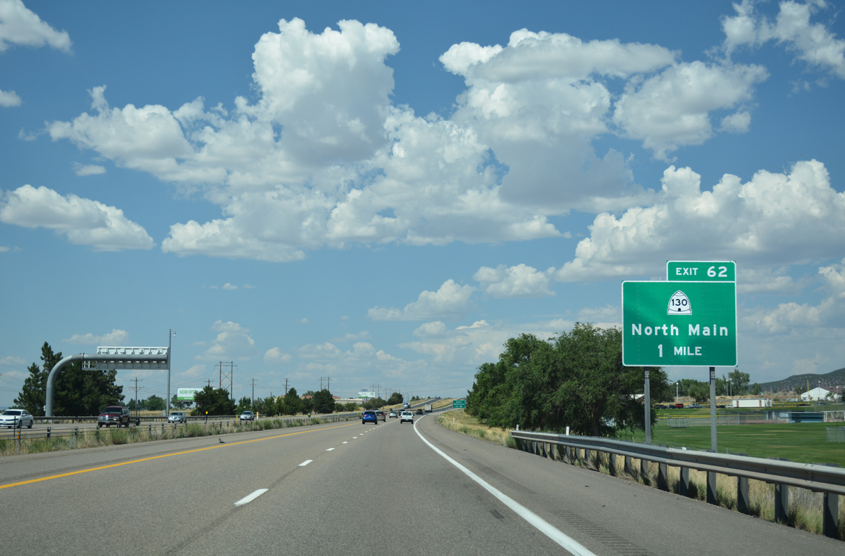
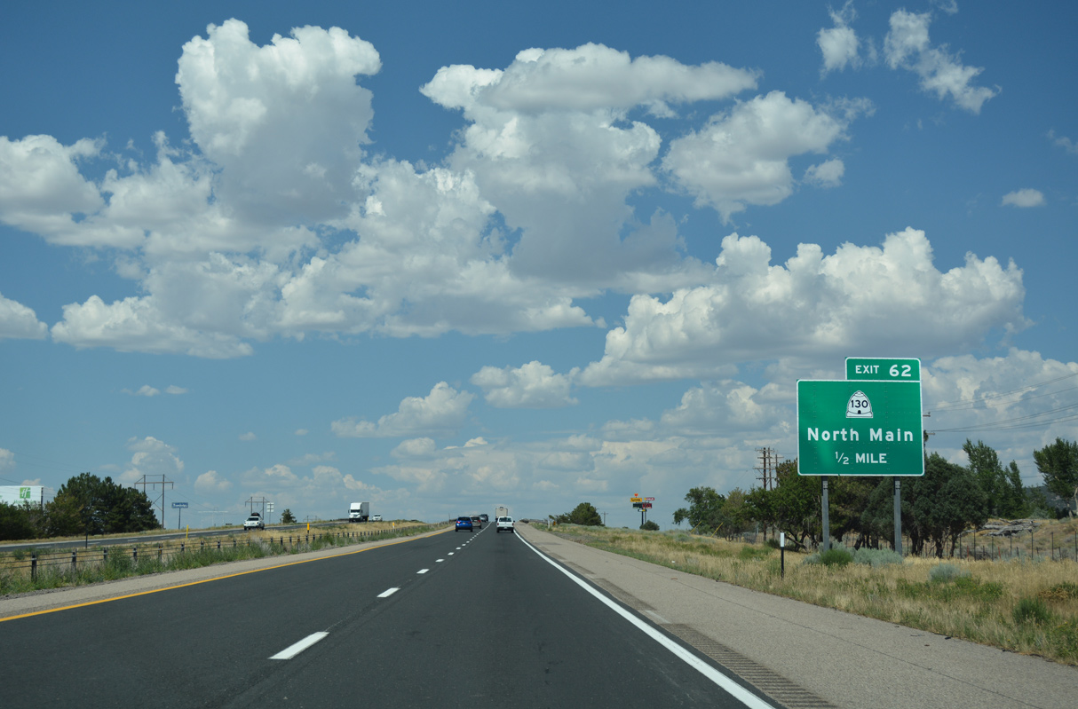
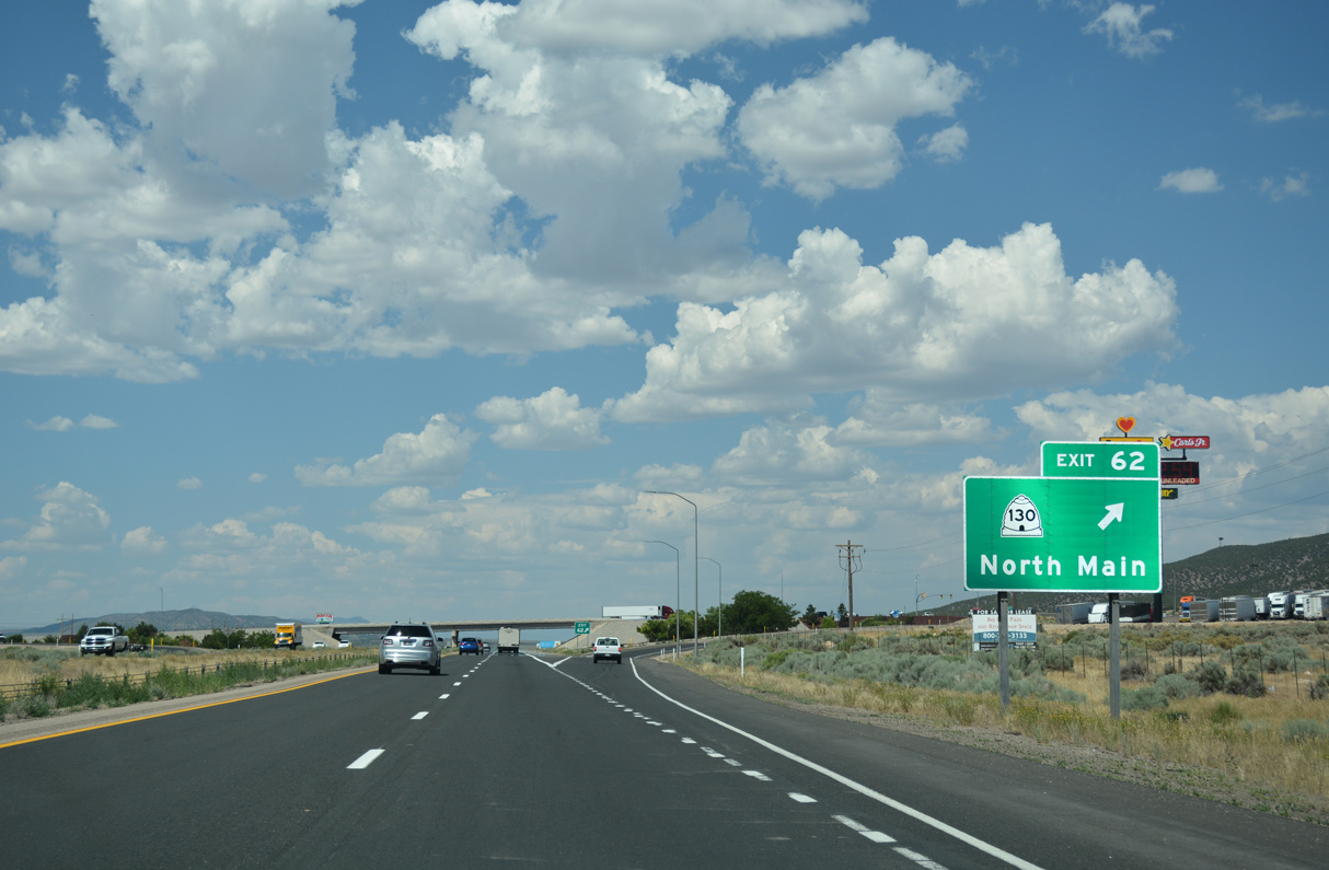
I-15 and Business Loop I-15/SR 130 (N Main Street) converge at a diamond interchange (Exit 62) on the north side of Cedar City.
07/15/17
07/15/17

SR 130 extends north from Exit 62 along Minersville Highway through the city of Enoch. Traveling 42.72 miles overall, SR 130 runs north to SR 21 just outside Minersville.
08/09/14
08/09/14
Business Loop I-15/SR 130 originally returned to I-15 at a diamond interchange located where the Nichols Canyon Road underpass is located by mile marker 62. The exchange was demolished.
07/15/17
07/15/17
The 6.17 mile long route of Business Loop I-15 ends while SR 130 travels 36 miles north to the town of Minersville.
07/15/17
07/15/17
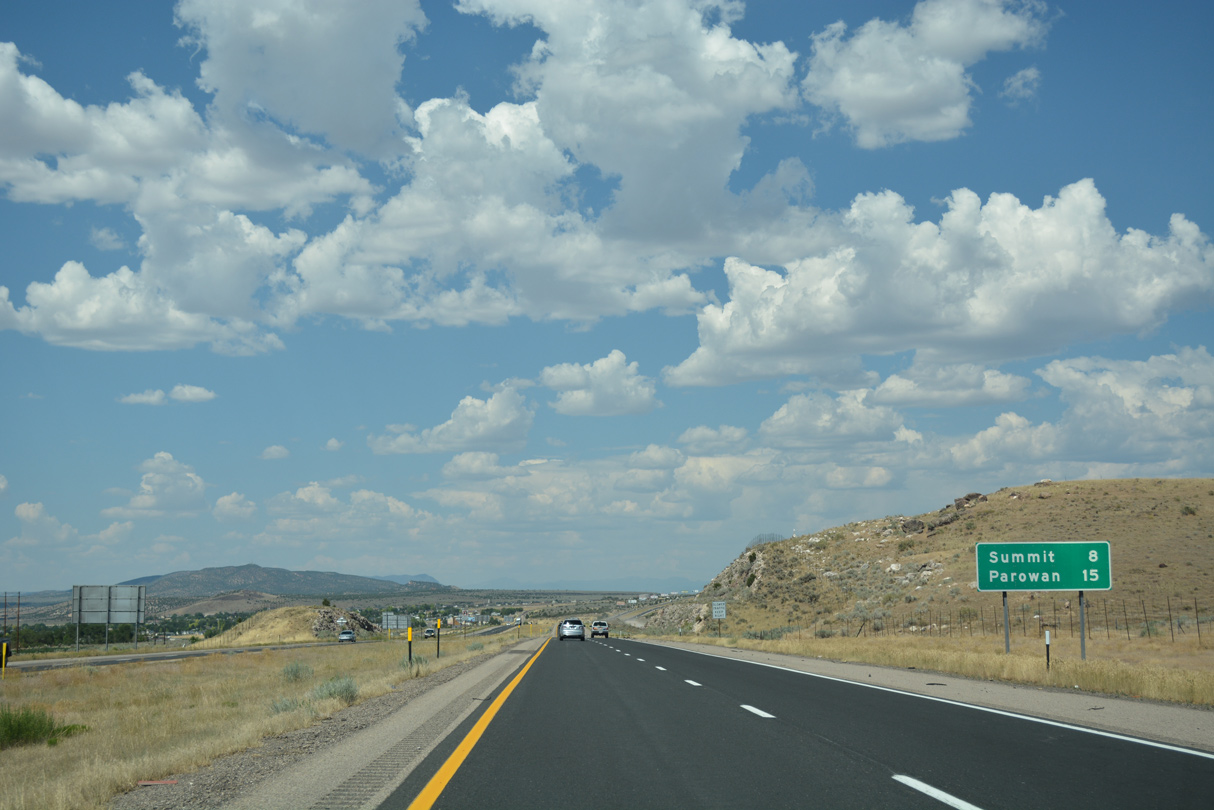
Old Highway 91 accompanies Interstate 15 to the west from Enoch to Exit 71.
07/15/17
07/15/17
07/15/17
08/09/14

08/09/14
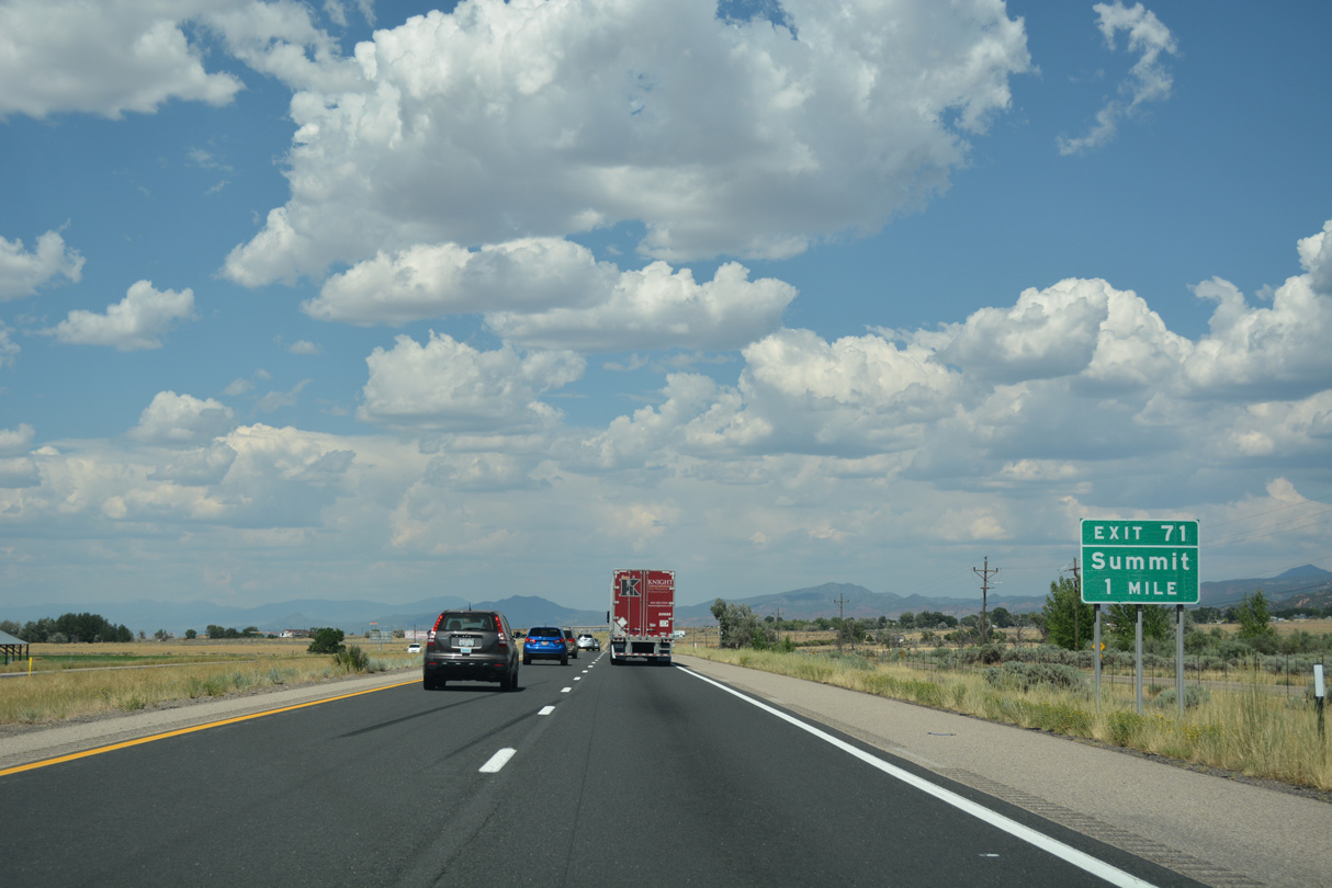
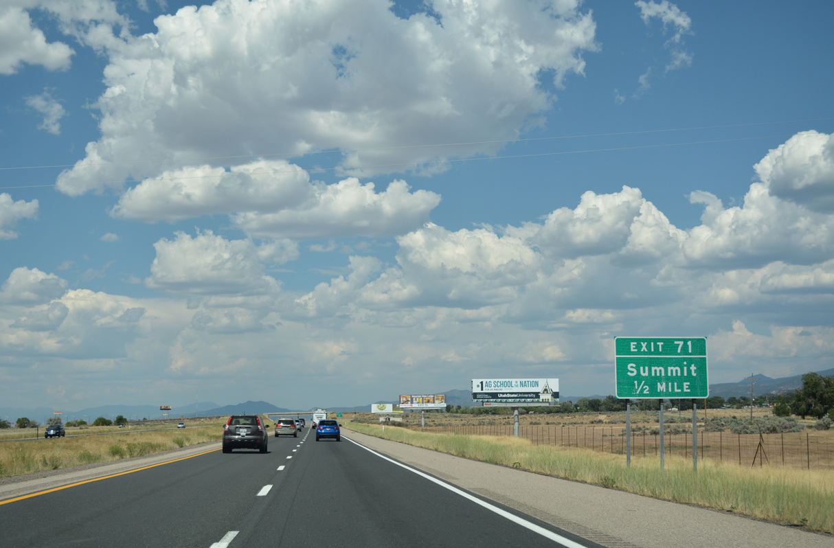
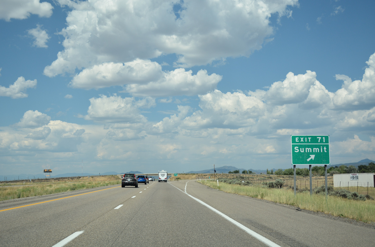
The diamond interchange at Exit 71 links with Old Highway 91 to the west and Main Street (Historic U.S. 91) to the east into the community of Summit.
07/15/17
07/15/17
U.S. 91 originally angled northeast onto Main Street through Summit. Summit Frontage Road to the south of Exit 71 is the former alignment.
07/15/17
07/15/17
Old Highway 91 stays east of Interstate 15 from Summit to Second Mound (el. 6,099 feet) and the city of Parowan ahead of First Mound (el. 6,047 feet).
07/15/17
07/15/17
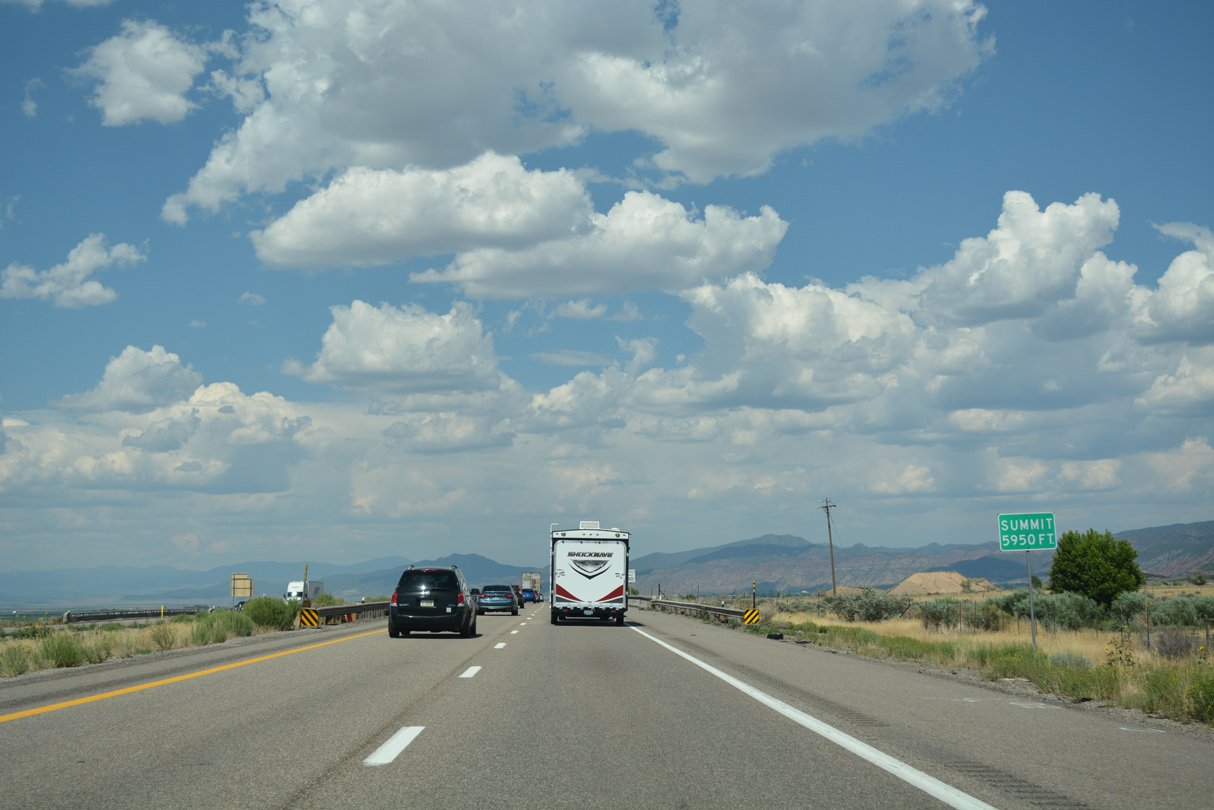
Interstate 15 reaches a summit of 5,950 feet above sea level at the Center Street underpass by mile marker 71.
07/15/17
07/15/17
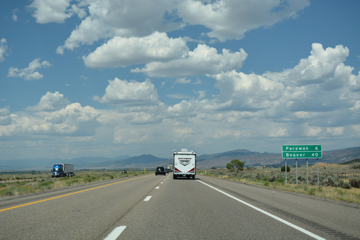
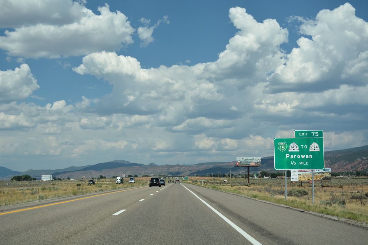
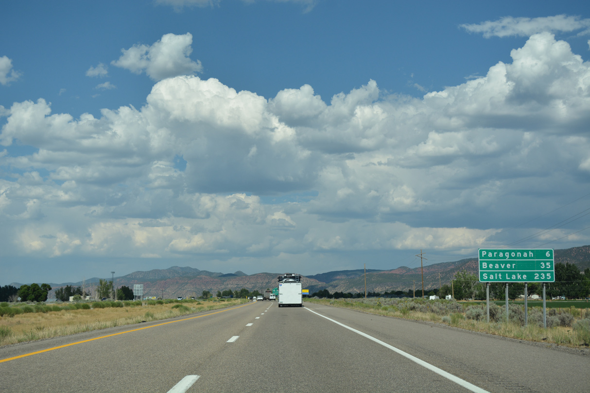
The next two exits from I-15 north serve the city of Parowan, "the Mother Town of southern Utah."
07/15/17
07/15/17
Business Loop I-15 branches east from I-15 along SR 143 (200 South) to Downtown Parowan.
07/15/17
07/15/17
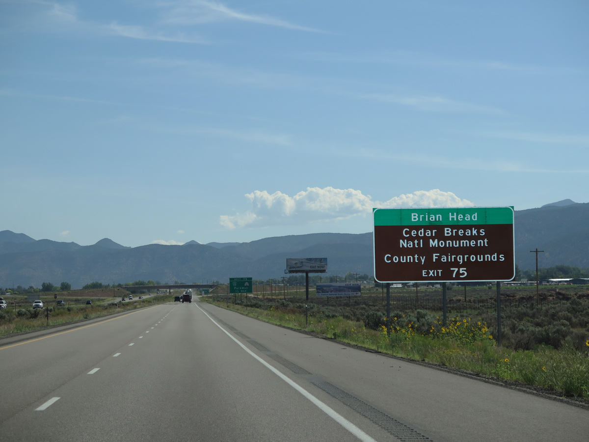
SR 143 traverses Parowan Canyon south from Parowan en route to Brian Head ski resort and Cedar Breaks National Monument.
08/09/14
08/09/14
50.60 miles in length, SR 143 loops south from Parowan onto the Markagunt Plateau and east across Dixie National Forest to Dickinson Hill and U.S. 89 in Panguitch.
07/15/17
07/15/17
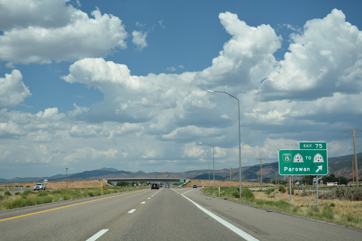
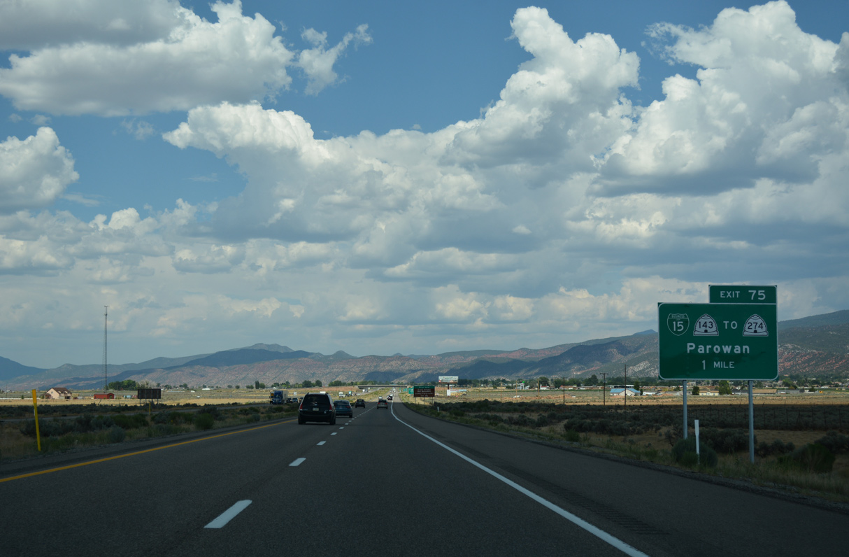
Business Loop I-15/SR 143 overlap 2.62 miles east from the diamond interchange at Exit 75 to SR 274 (Main Street) at Center Street. SR 143 is part of the Patchwork Parkway Scenic Byway.
07/15/17
07/15/17
Interstate 15 stays outside of the Parowan city limits until the 400 North underpass ahead of mile marker 77.
07/15/17
07/15/17
07/15/17
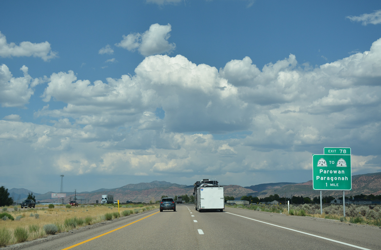
Business Loop I-15 returns to I-15 north alongside SR 274 at Exit 78 with Main Street / 100 West.
07/15/17
07/15/17
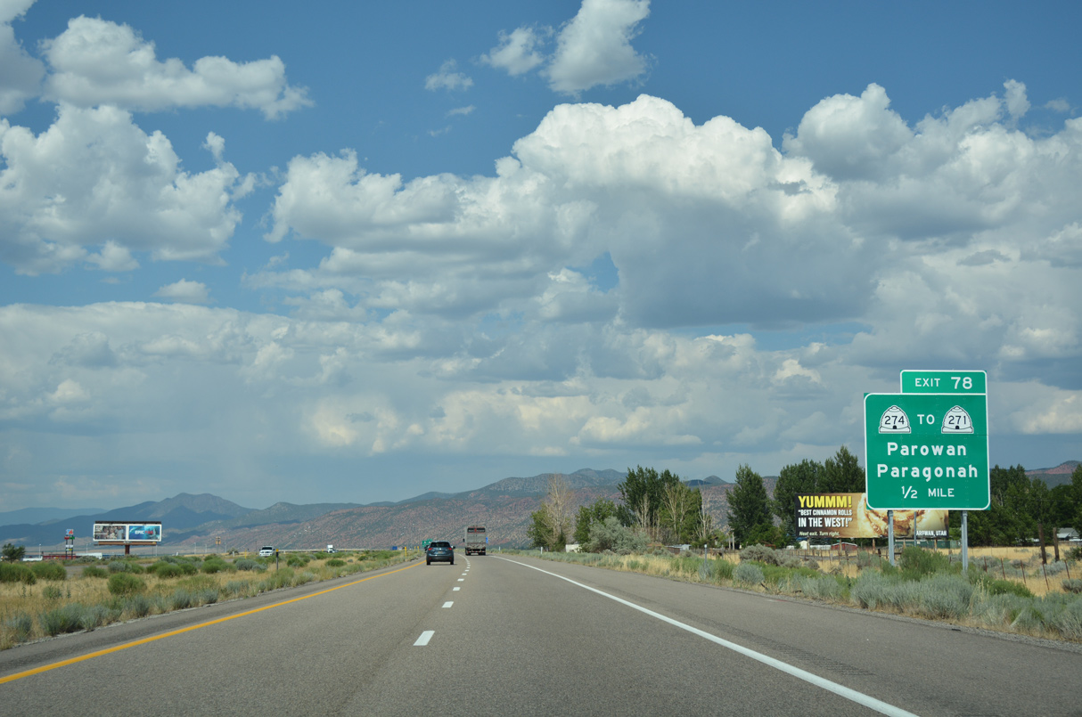
Following old U.S. 91, SR 271 angles northeast from Business Loop I-15/SR 274 (Main Street) to Parowan Airport (1L9) and the town of Paragonah.
07/15/17
07/15/17
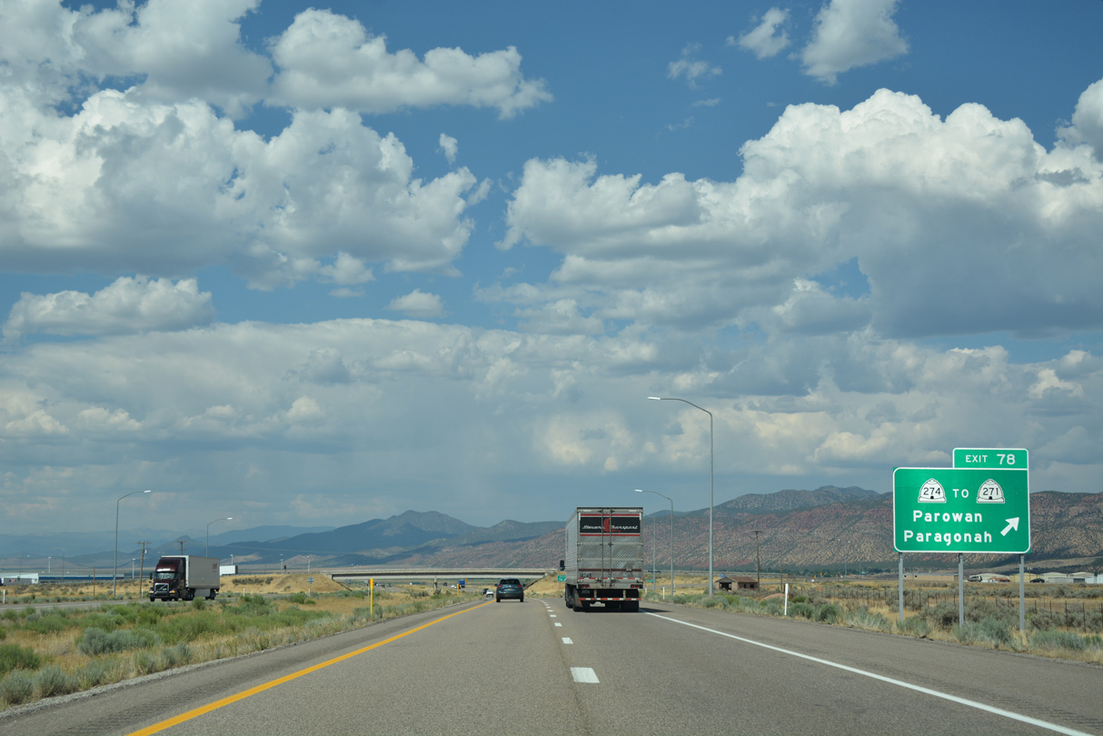
Business Loop I-15 concludes a 3.86 mile long route at Exit 78.
07/15/17
07/15/17
07/15/17
07/15/17
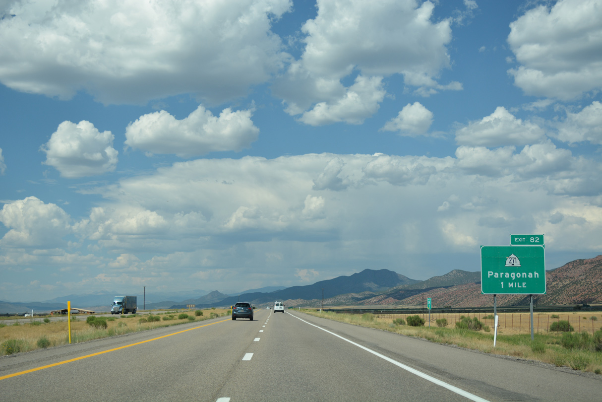
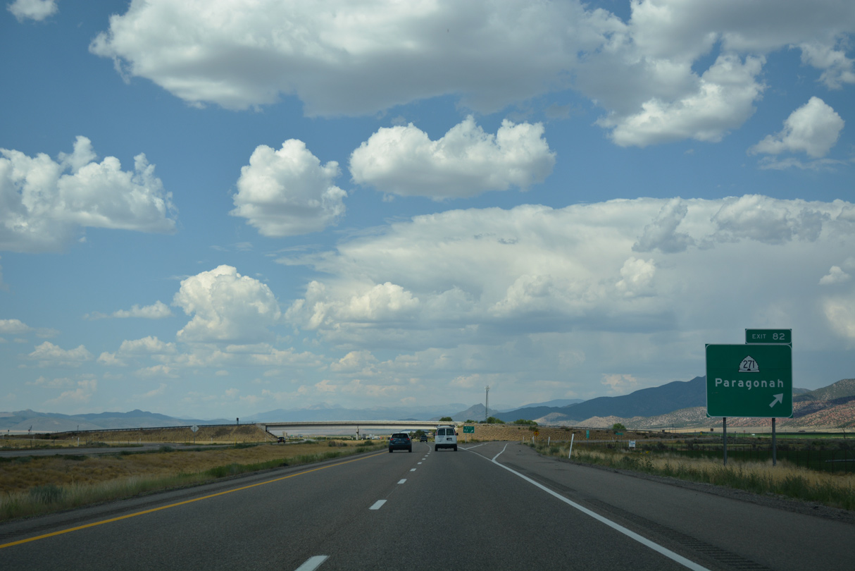
SR 271 converges with Interstate 15 north from Main Street in the town of Paragonah.
07/15/17
07/15/17

Following old U.S. 91, SR 271 constitutes a 5.59 mile long loop from Business Loop I-15/SR 274 (Main Street) in Parowan to I-15 at Exit 82.
07/15/17
07/15/17
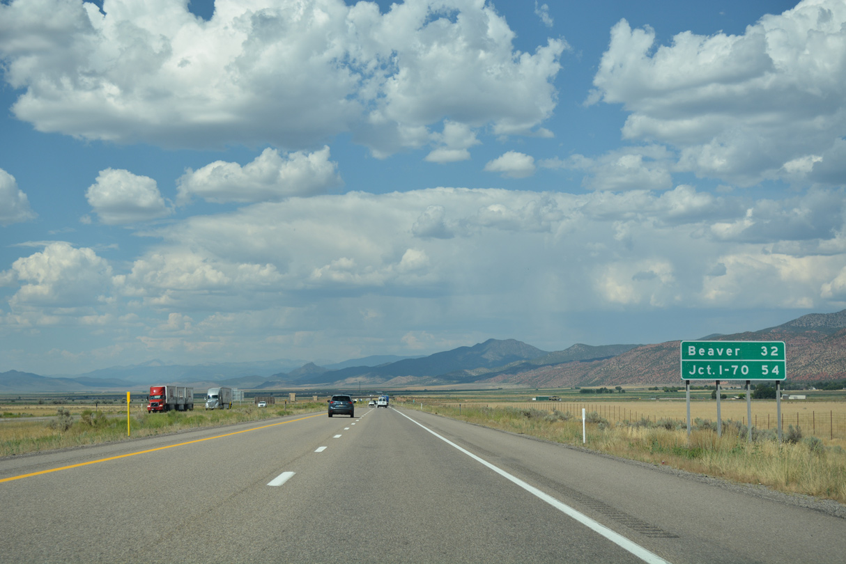
Interstate 15 directly replaced U.S. 91 northeast from the diamond interchange at Exit 82 across north Parowan Valley.
07/15/17
07/15/17
07/15/17
07/15/17
07/15/17
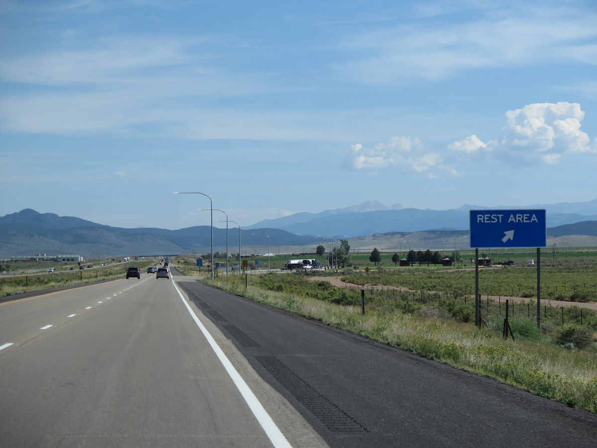
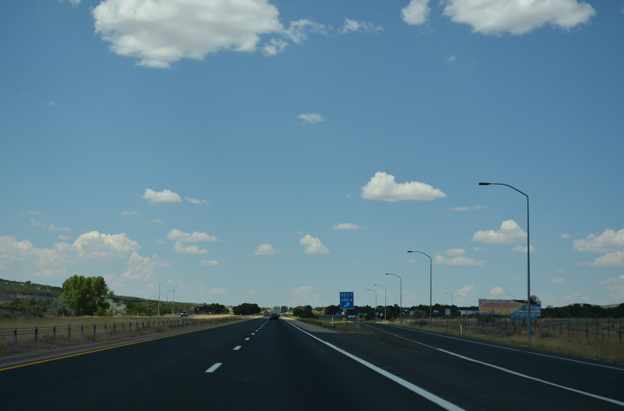
Rest areas line both sides of Interstate 15 ahead of mile marker 88.
08/09/14
08/09/14
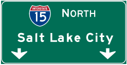

Photo Credits:
- Brent Ivy: 07/15/17
- Andy Field: 08/09/14
- ABRoads: 07/15/17
Connect with:
Page Updated Saturday February 12, 2022.