
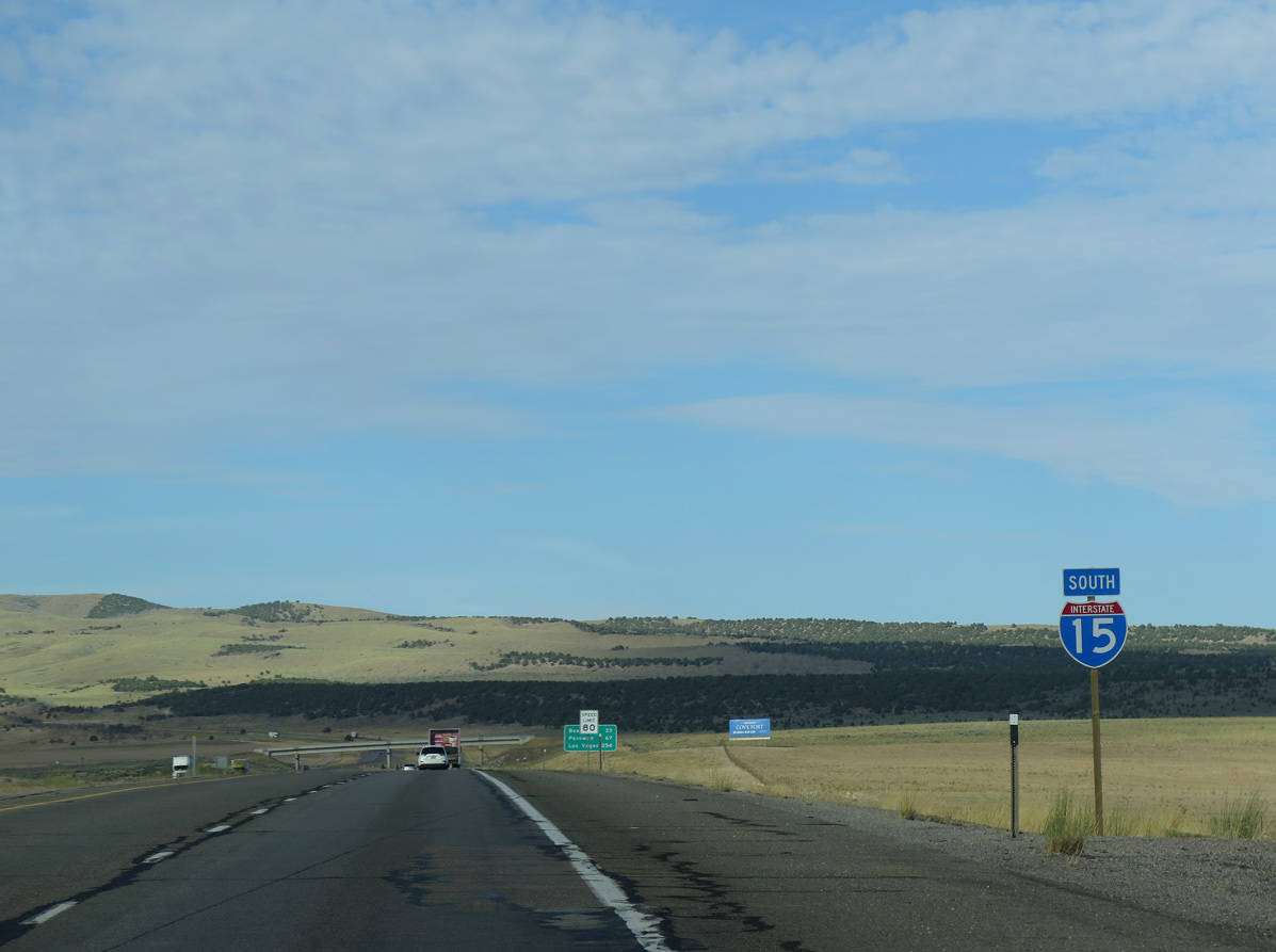
Interstate 15 South - Fillmore to Cove Fort
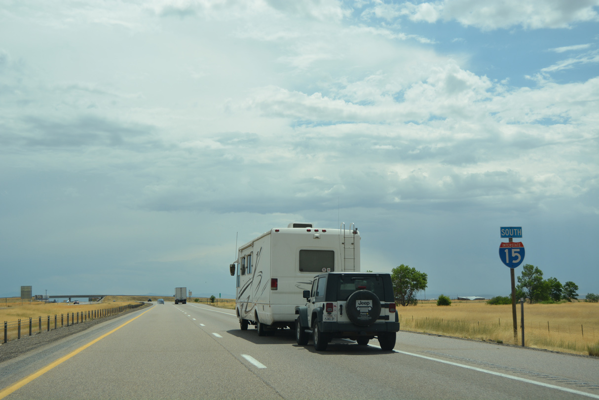
 South
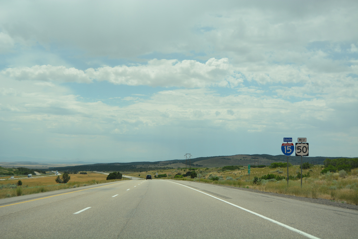
South  West
West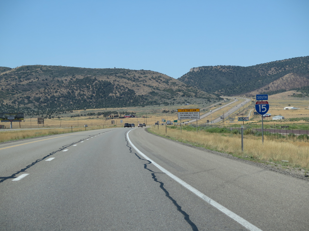
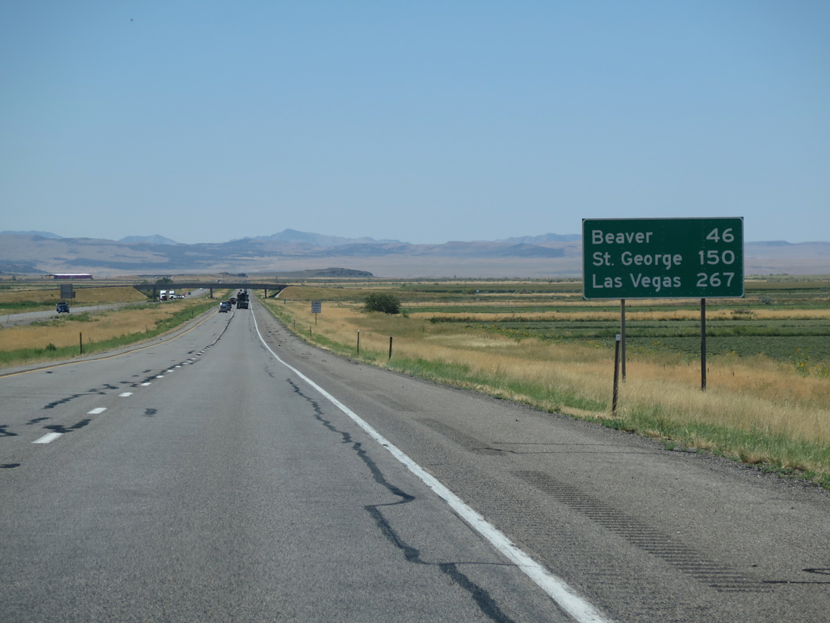
Although omitted with this I-15 confirming marker, U.S. 50 overlaps with the freeway southwest for 10.11 miles.
08/12/16
08/12/16
08/12/16
08/12/16
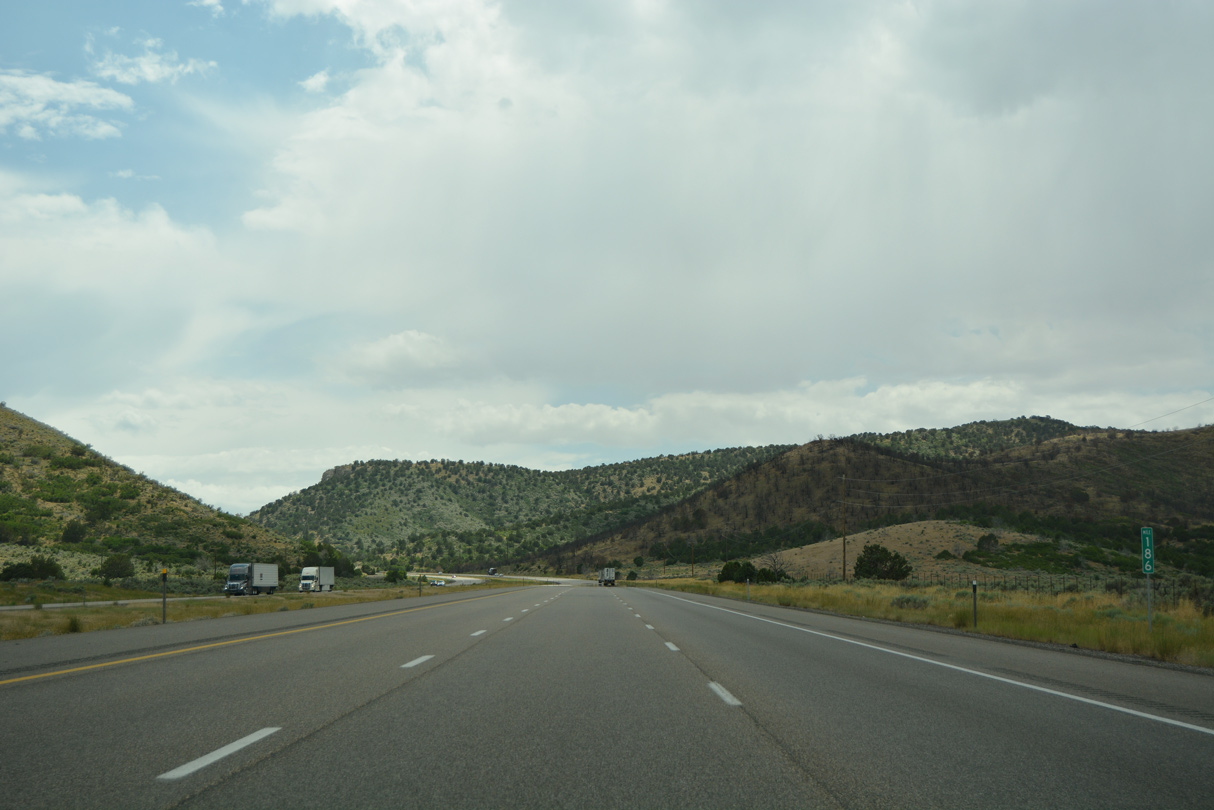
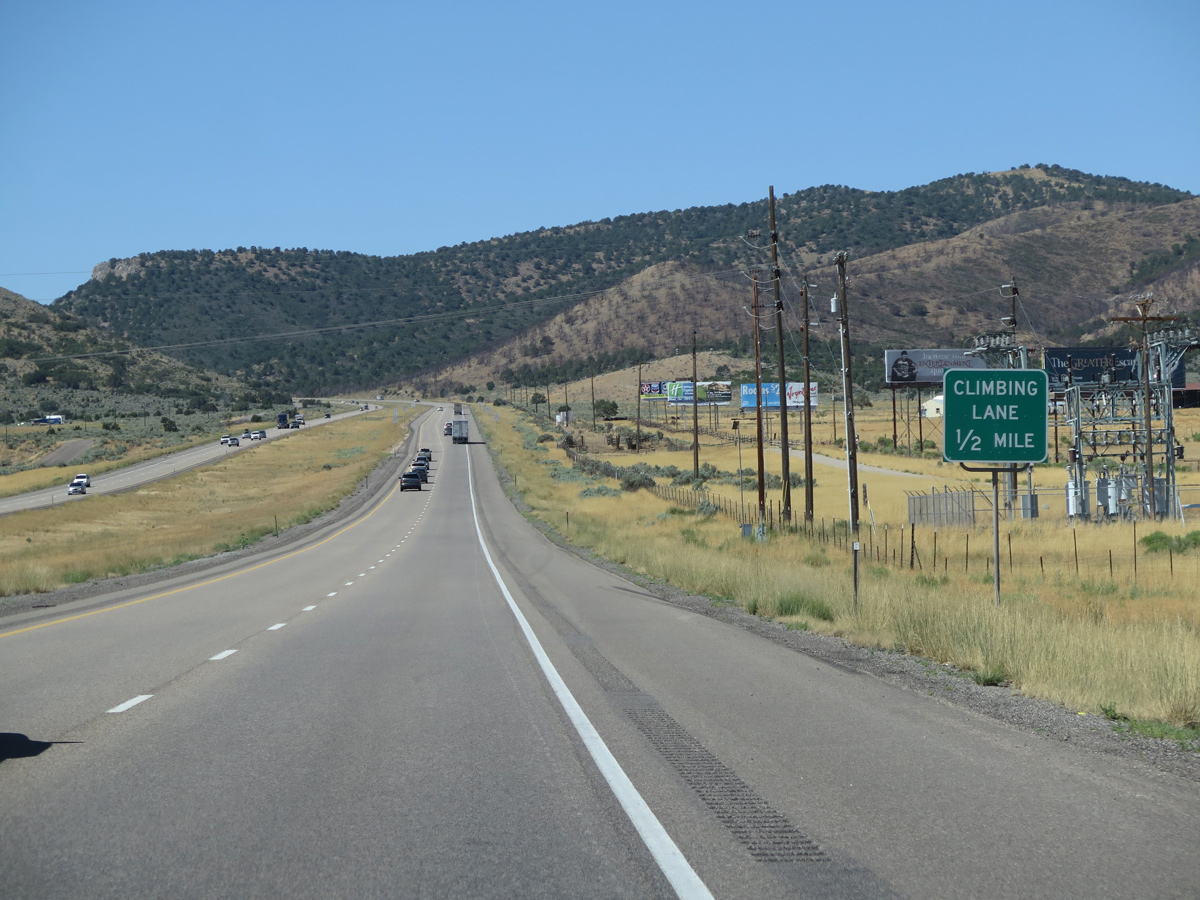
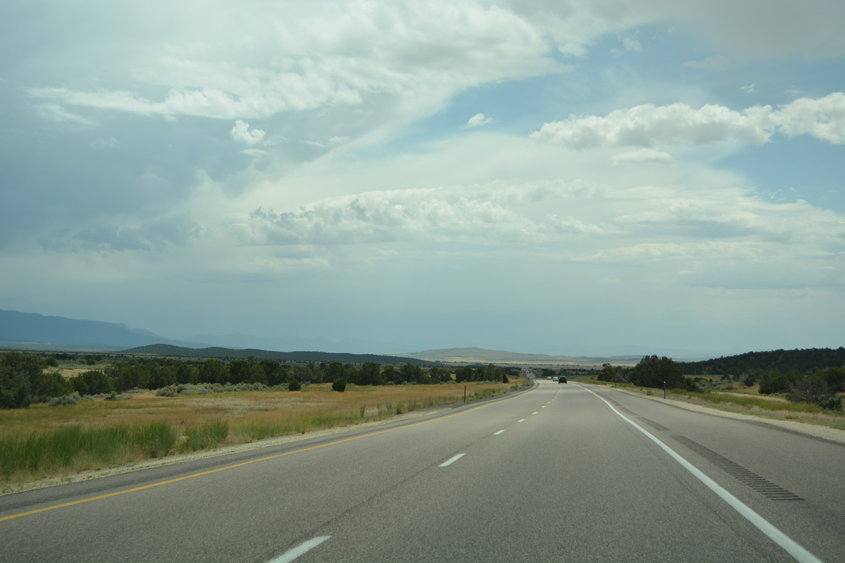
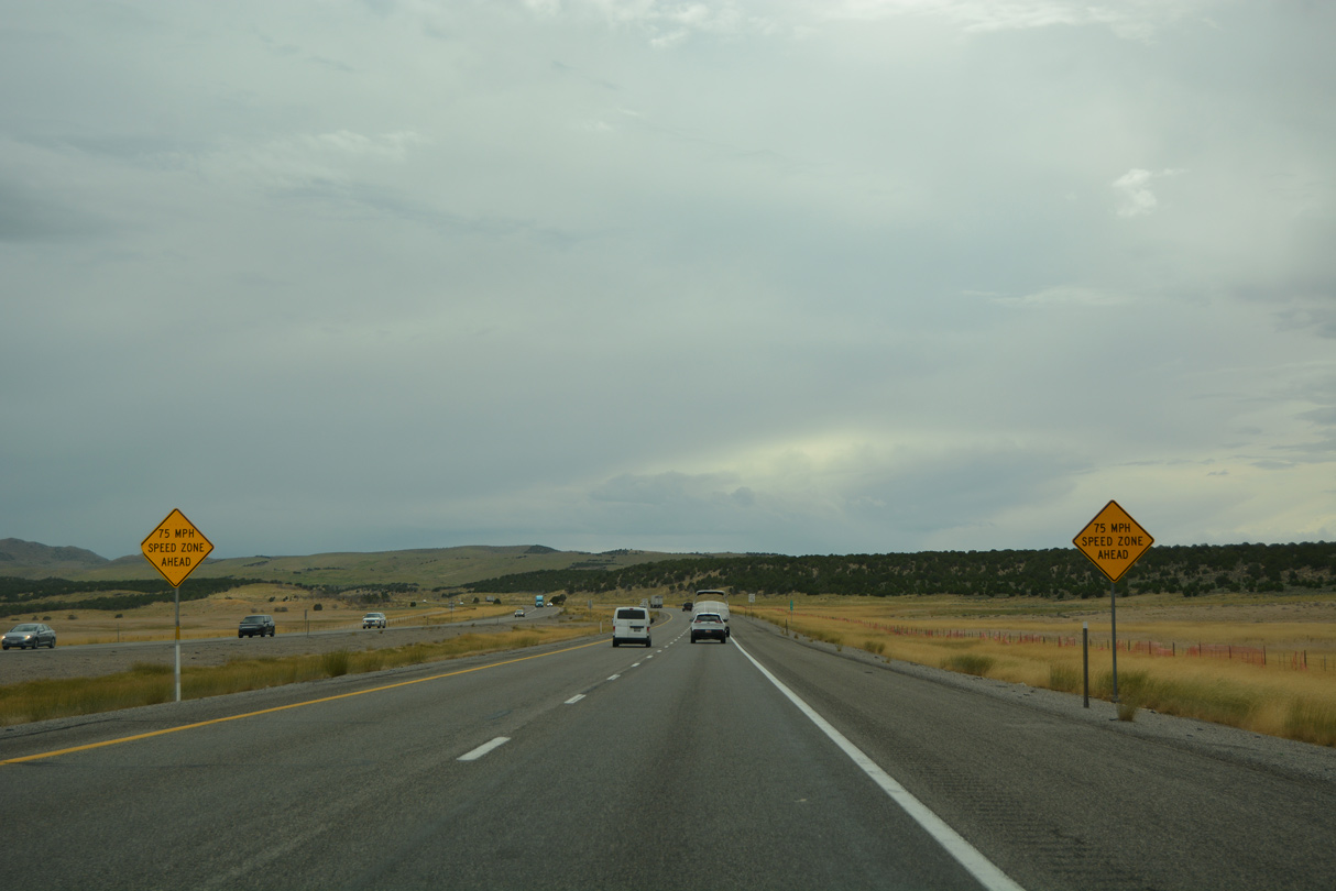
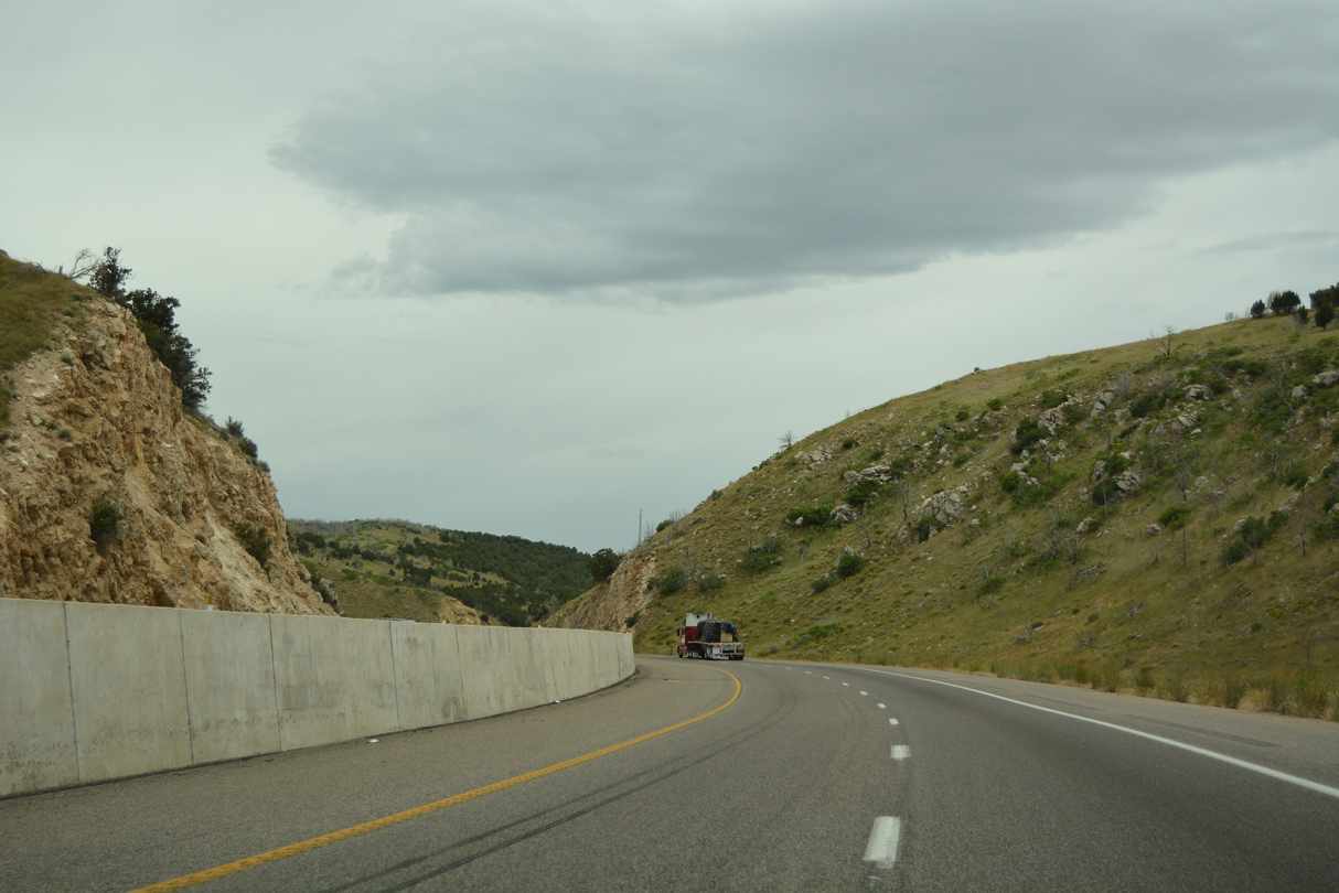
A climbing lane opens along I-15/U.S. 50 southbound to Scipio Pass between the Canyon Mountains and Pahvant Range.
07/03/16
07/03/16
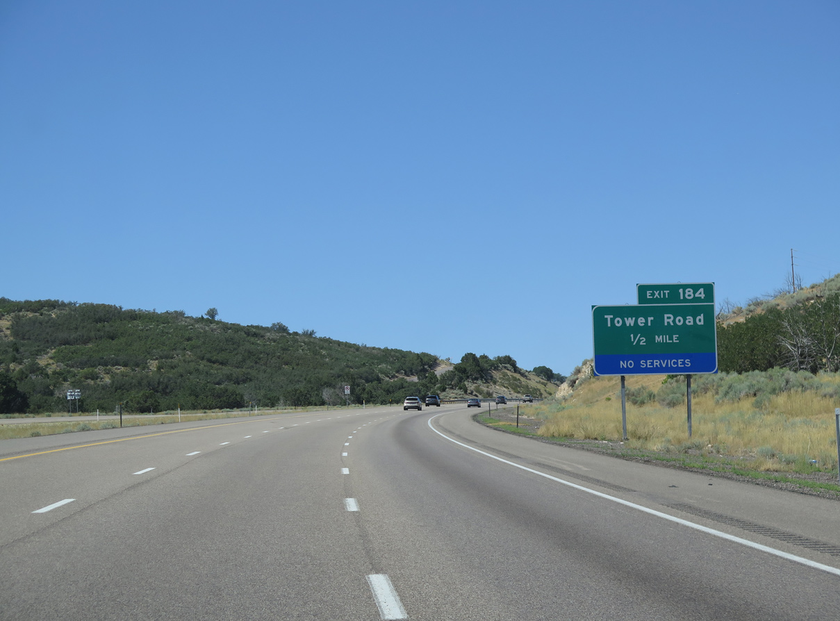
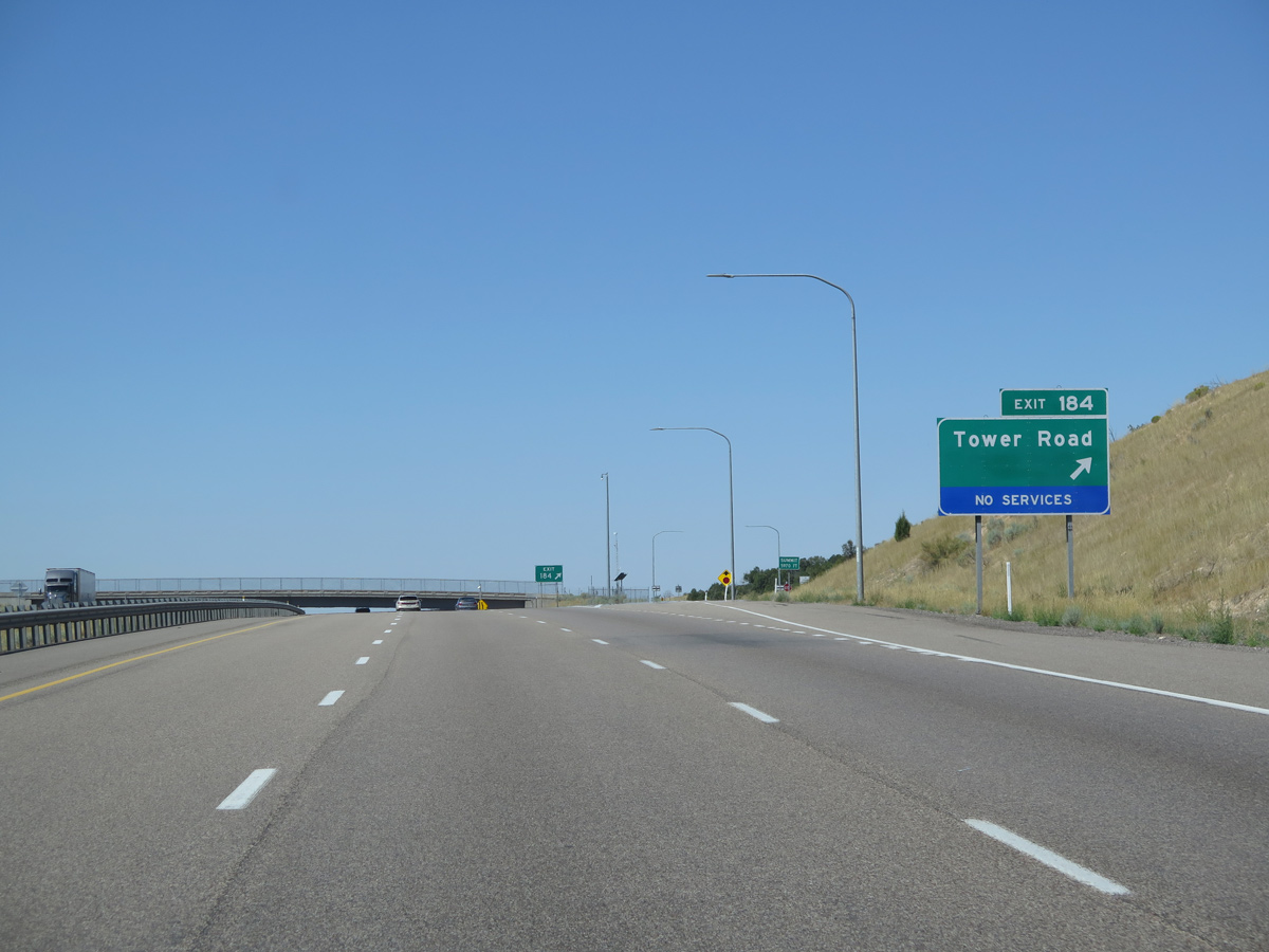
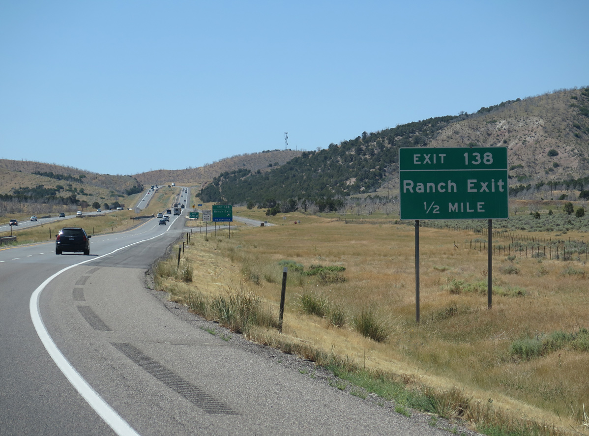
Tower Road is a ranch exit to Scipio Pioneer Trail and adjacent frontage roads.
08/12/16
08/12/16
08/12/16
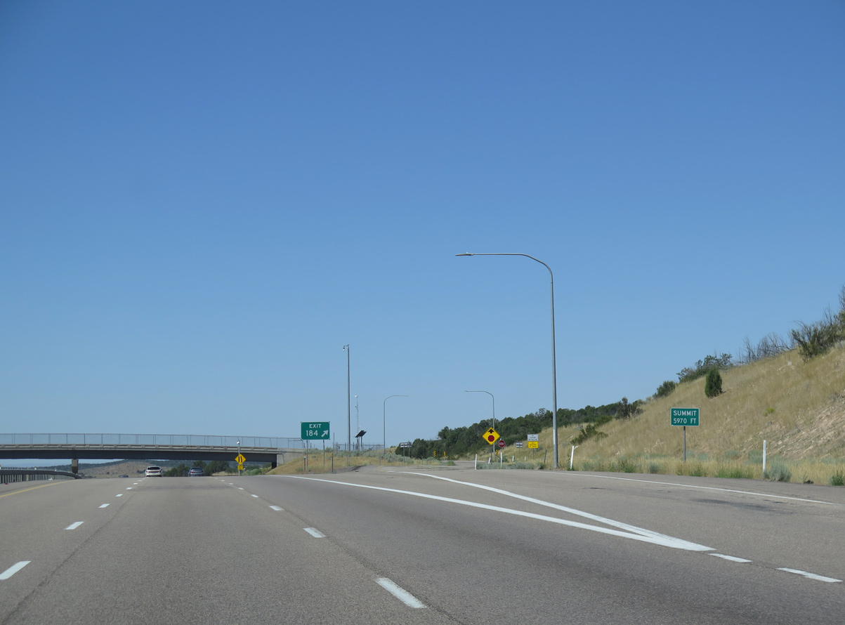
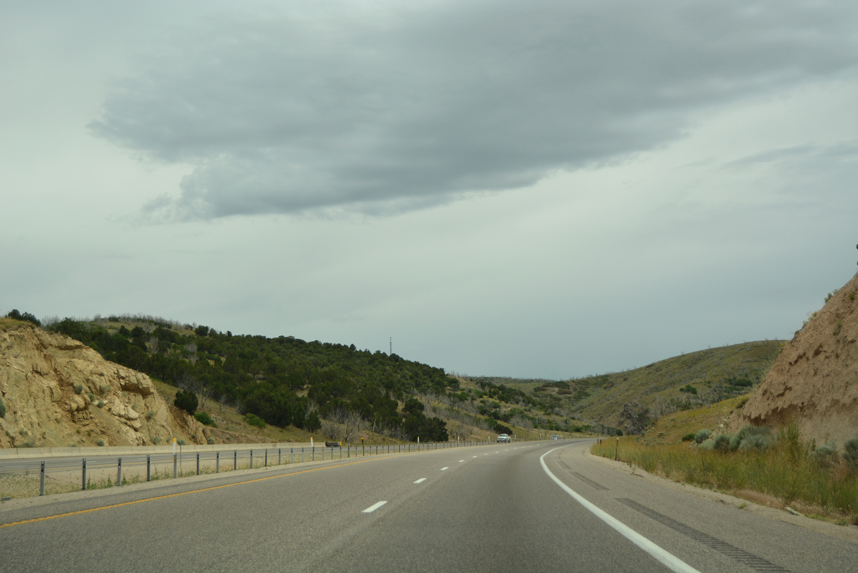
The summit at Scipio Pass and Exit 184 is 5,970 feet above sea level.
08/12/16
08/12/16
07/03/16
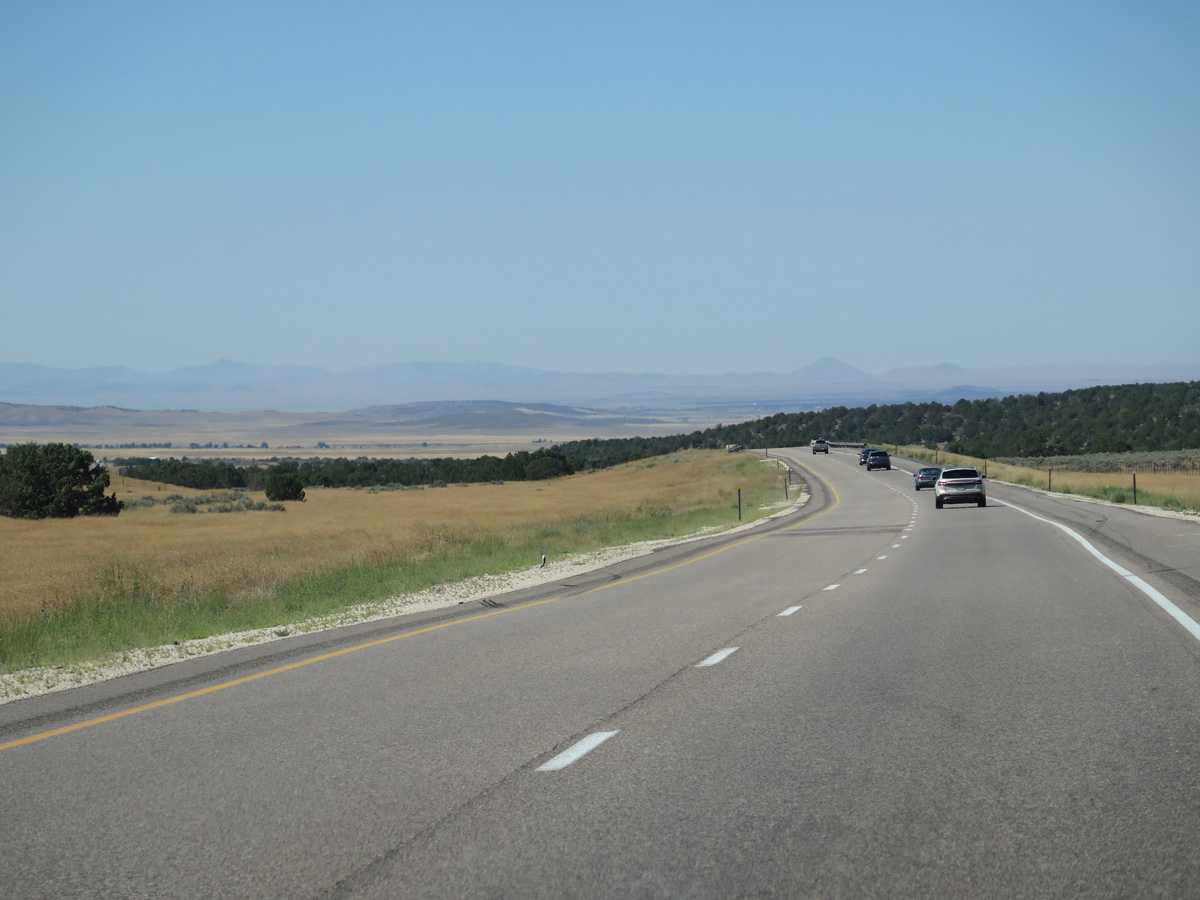
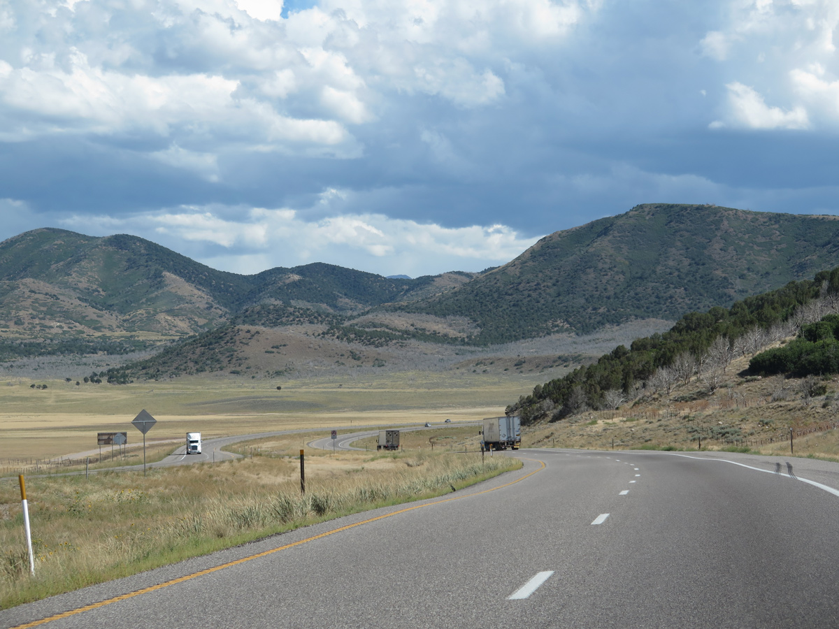
A wide median separates the roadways along I-15/U.S. 50 east of the Church Mountains.
07/03/16
07/03/16
08/12/16
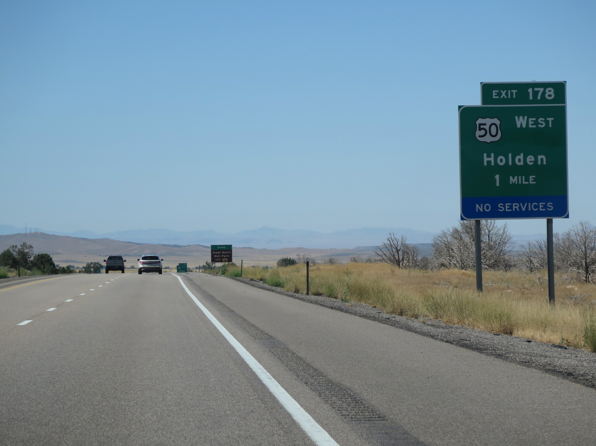
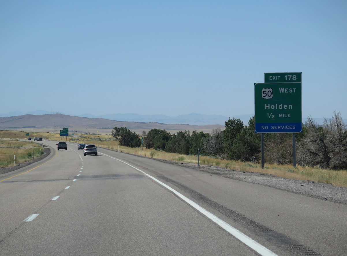
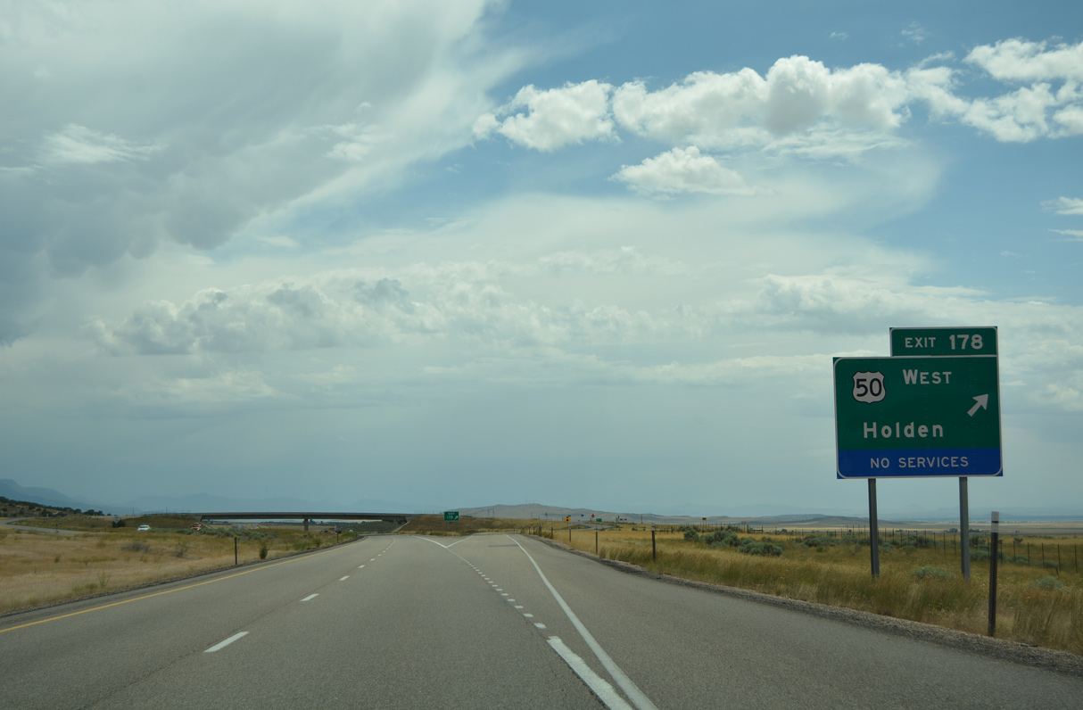
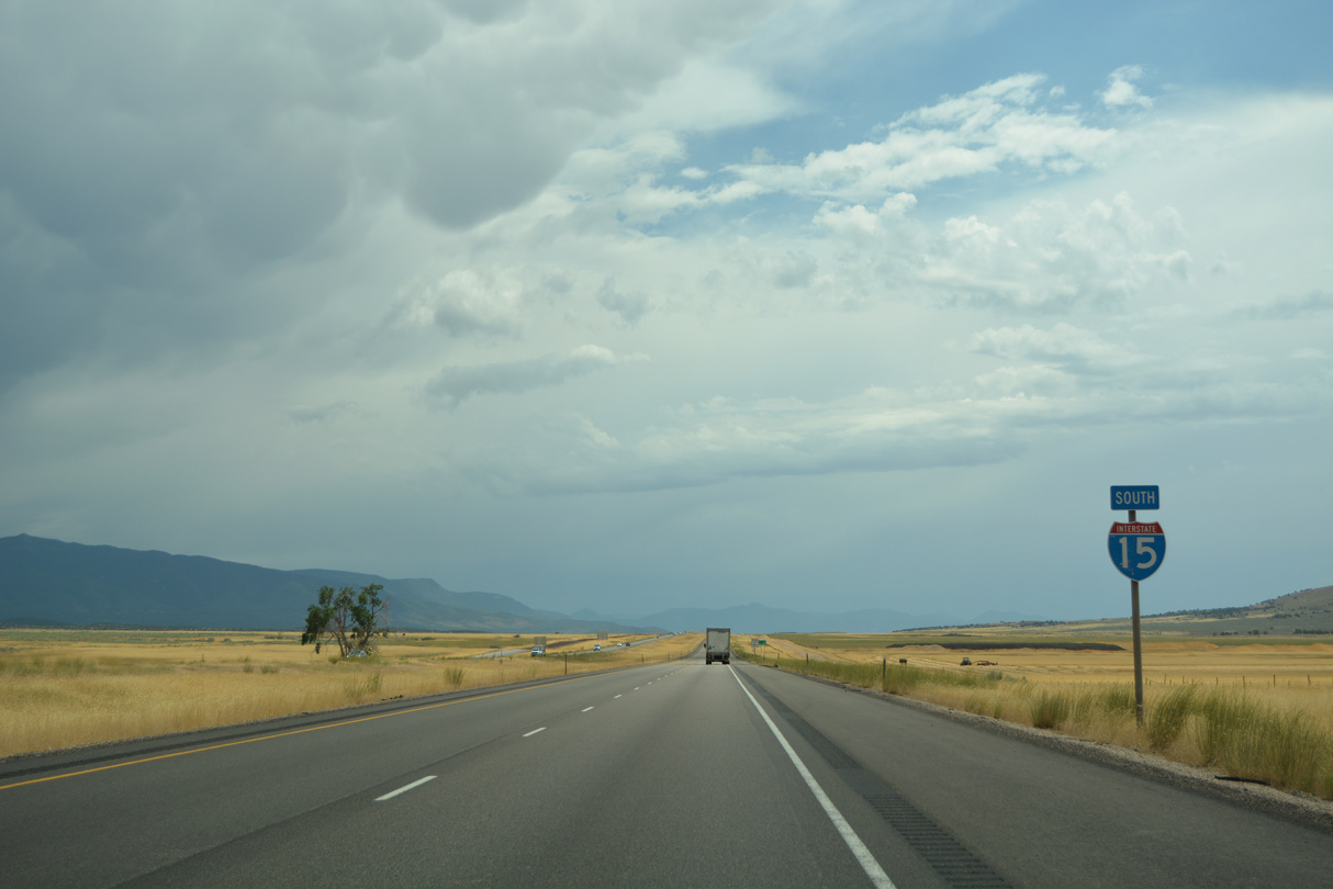
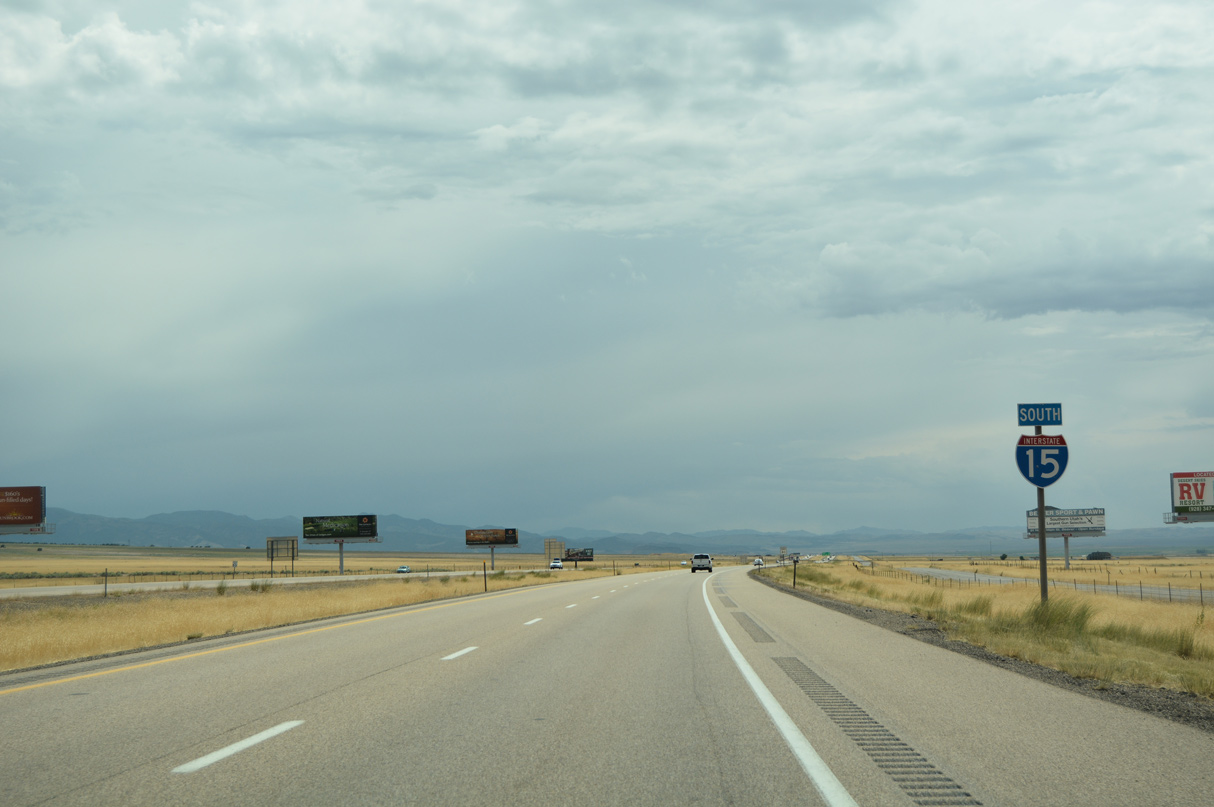
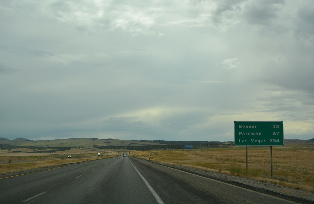
U.S. 50 separates with Interstate 15 south at a diamond interchange (Exit 178) with old U.S. 91, three miles northeast of Holden.
08/12/16
08/12/16
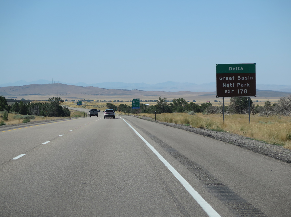
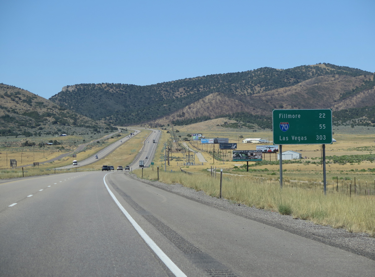
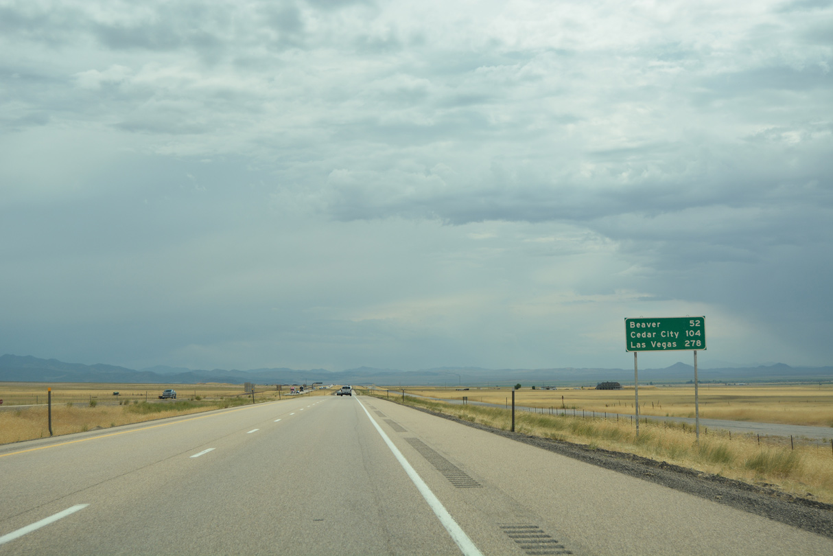
U.S. 50 travels west across the Pahvant Valley and north along the Sevier Desert 30.36 miles to U.S. 6 at Delta. U.S. 6/50 overlap west to Great Basin National park and Ely, Nevada.
08/12/16
08/12/16
Beyond their separation at Ely, Nevada, U.S. 50 continues westward along the Lincoln Highway to Eureka, Austin, Fallon and Carson City. U.S. 6 follows the Midland Trail southwest toward Tonopah and Bishop, California.
08/12/16
08/12/16
U.S. 50 is a transcontinental route from West Sacramento, California to Ocean City, Maryland. Time Magazine profiled the route in the 1997 article "The Backbone of America: U.S. Highway 50" and named U.S. 50 across Nevada as the "The Loneliest Road in America."
07/03/16
07/03/16
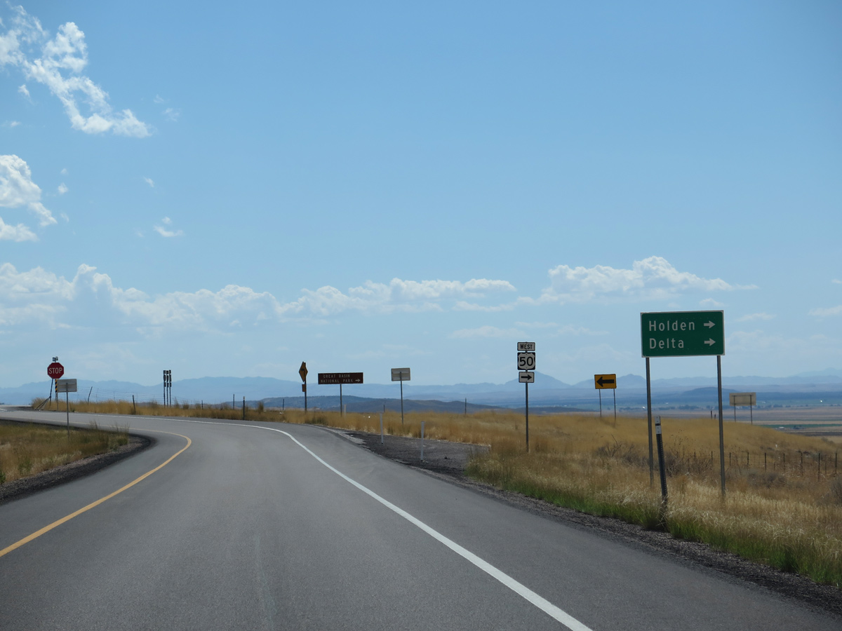
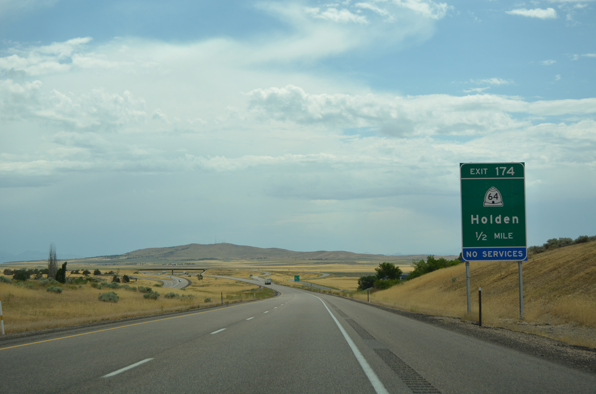
Old U.S. 91 follows U.S. 50 southwest into the town of Holden, then separates via SR 64 (Main Street) to return to Interstate 15 at Exit 174.
08/25/14
08/25/14
South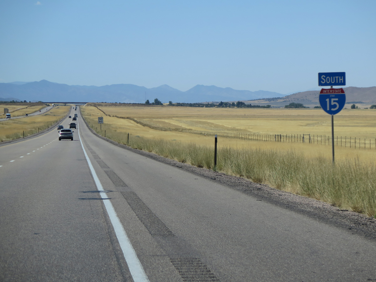
08/12/16
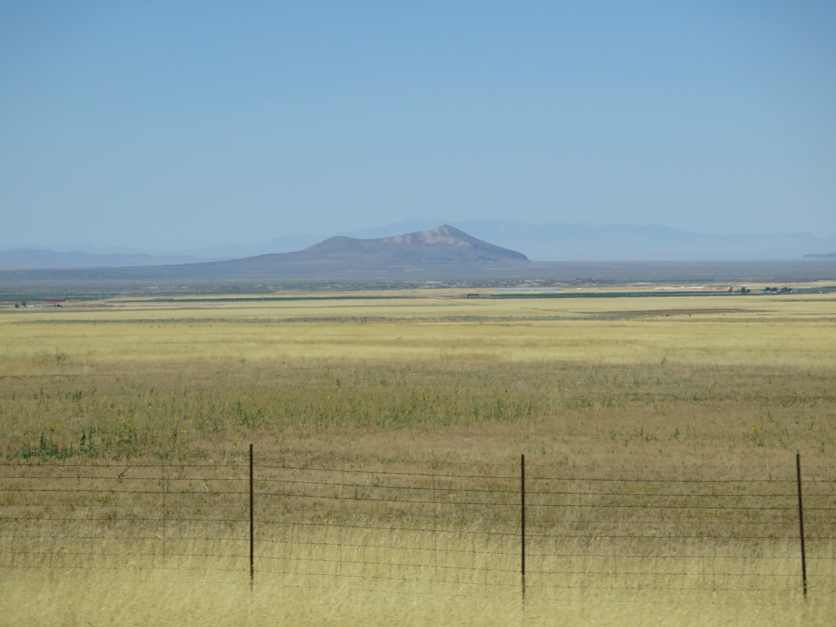
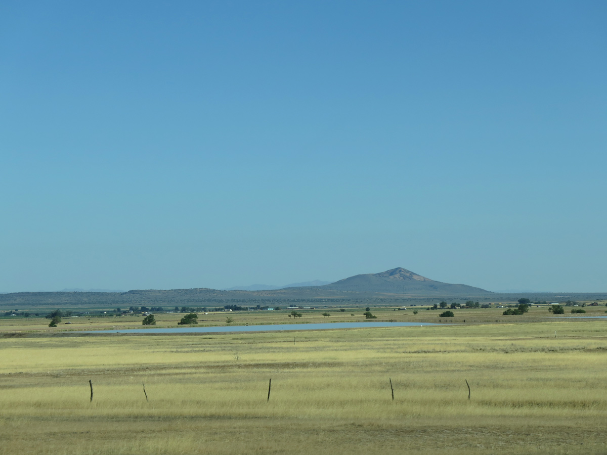
Pahvant Butte (el. 5,741 feet) appears far to the west.
08/12/16
08/12/16
07/03/16
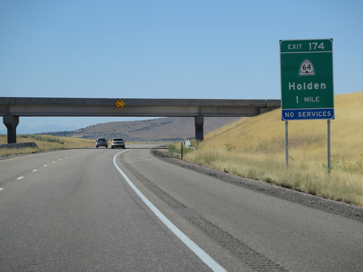
SR 64 follows Main Street and old U.S. 91 south 2.02 miles from U.S. 50 to the diamond interchange at Exit 174.
08/12/16
08/12/16
07/03/16
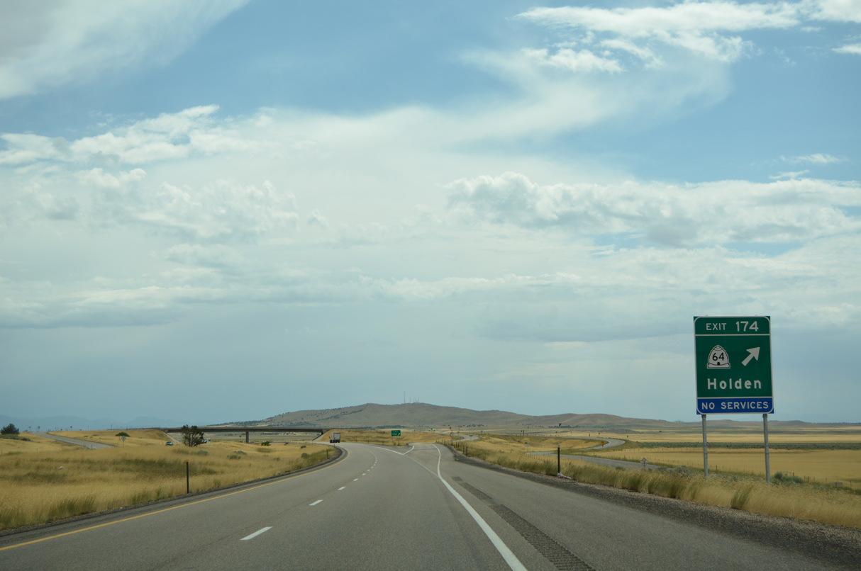
Maple Hollow Road ties into the exchange with SR 64 from ranch land to the east.
07/03/16
07/03/16
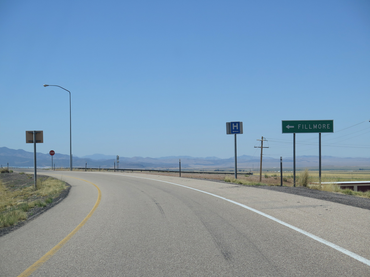
Old U.S. 91 again parallels I-15 south from Exit 174 near Holden to the city of Fillmore.
07/03/16
07/03/16
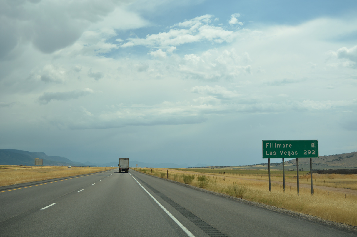
Located eight miles ahead, Fillmore was established as Utah's first capital while it was a territory, from 1851 to 1856. The city was founded and surveyed on October 28, 1851.
07/03/16
07/03/16
07/03/16
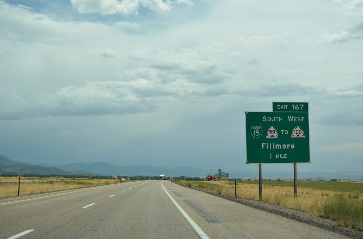
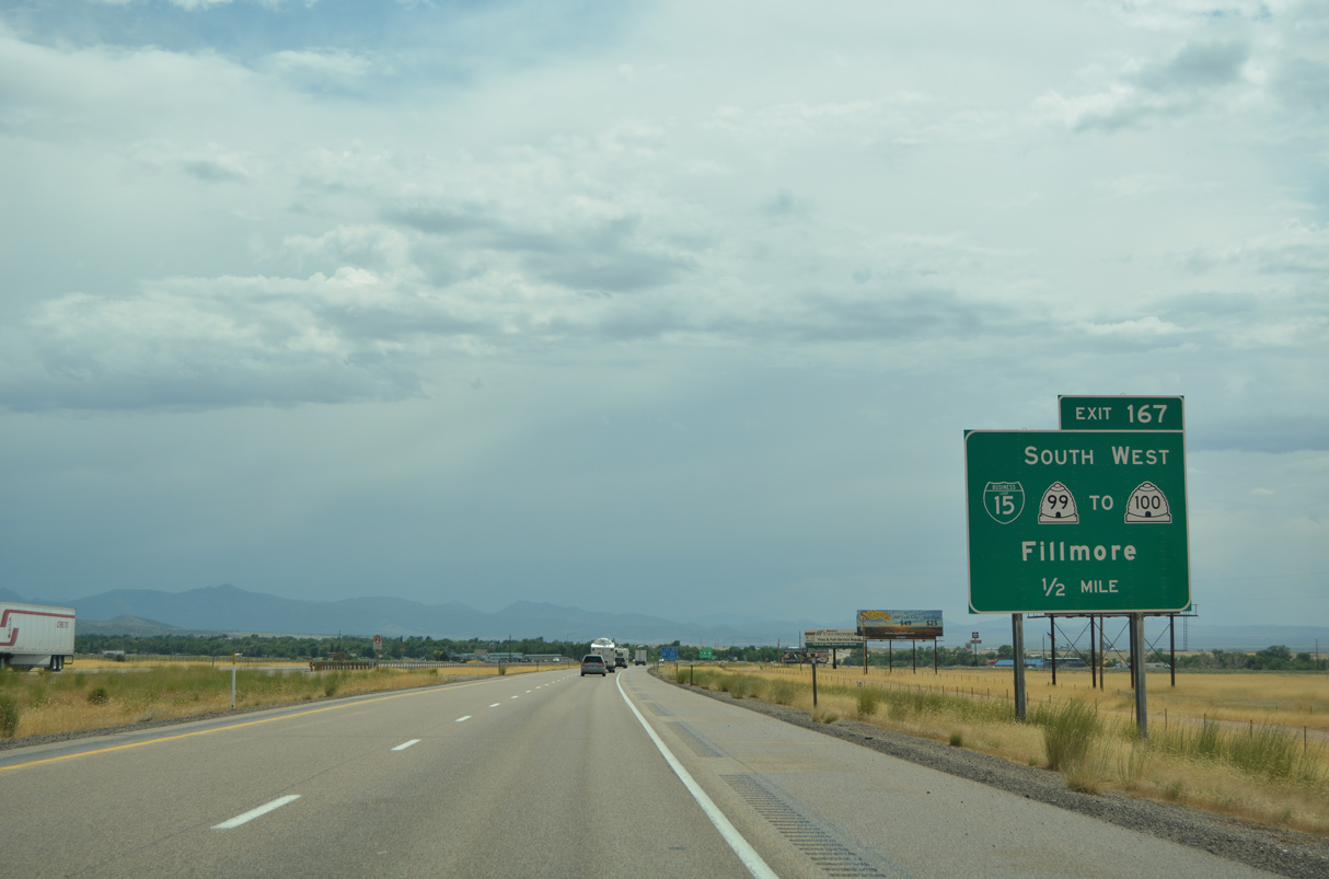
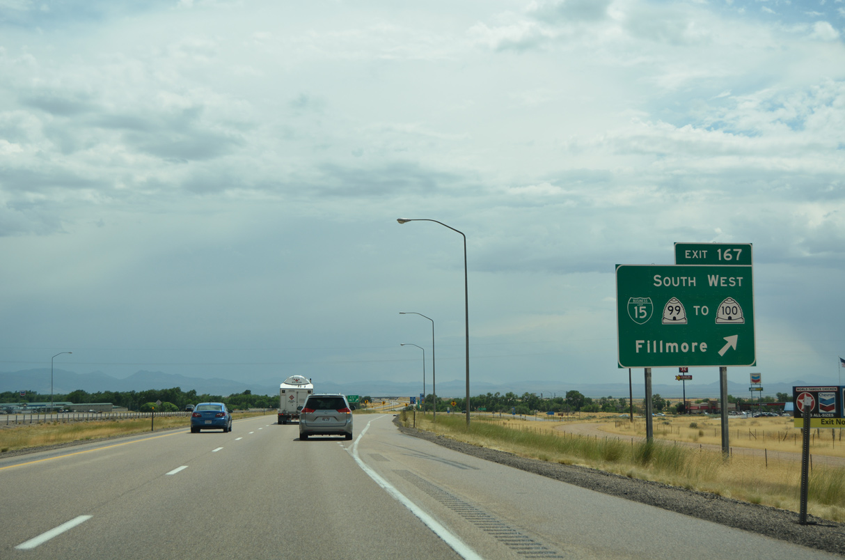
The first of two exits for the Millard County seat is the diamond interchange (Exit 167) with the north end of Business Loop I-15/SR 99 (Main Street).
07/03/16
07/03/16
Business Loop I-15 links I-15 with SR 100 west along 400 North. SR 100 constitutes a 16.95 mile long highway west toward Flowell along 500 North and north along 3200 West to U.S. 50 between Holden and McCornick.
07/03/16
07/03/16
Business Loop I-15 overlaps with all of SR 99 for 4.17 miles between Exit 167 and 163.
07/03/16
07/03/16
07/03/16
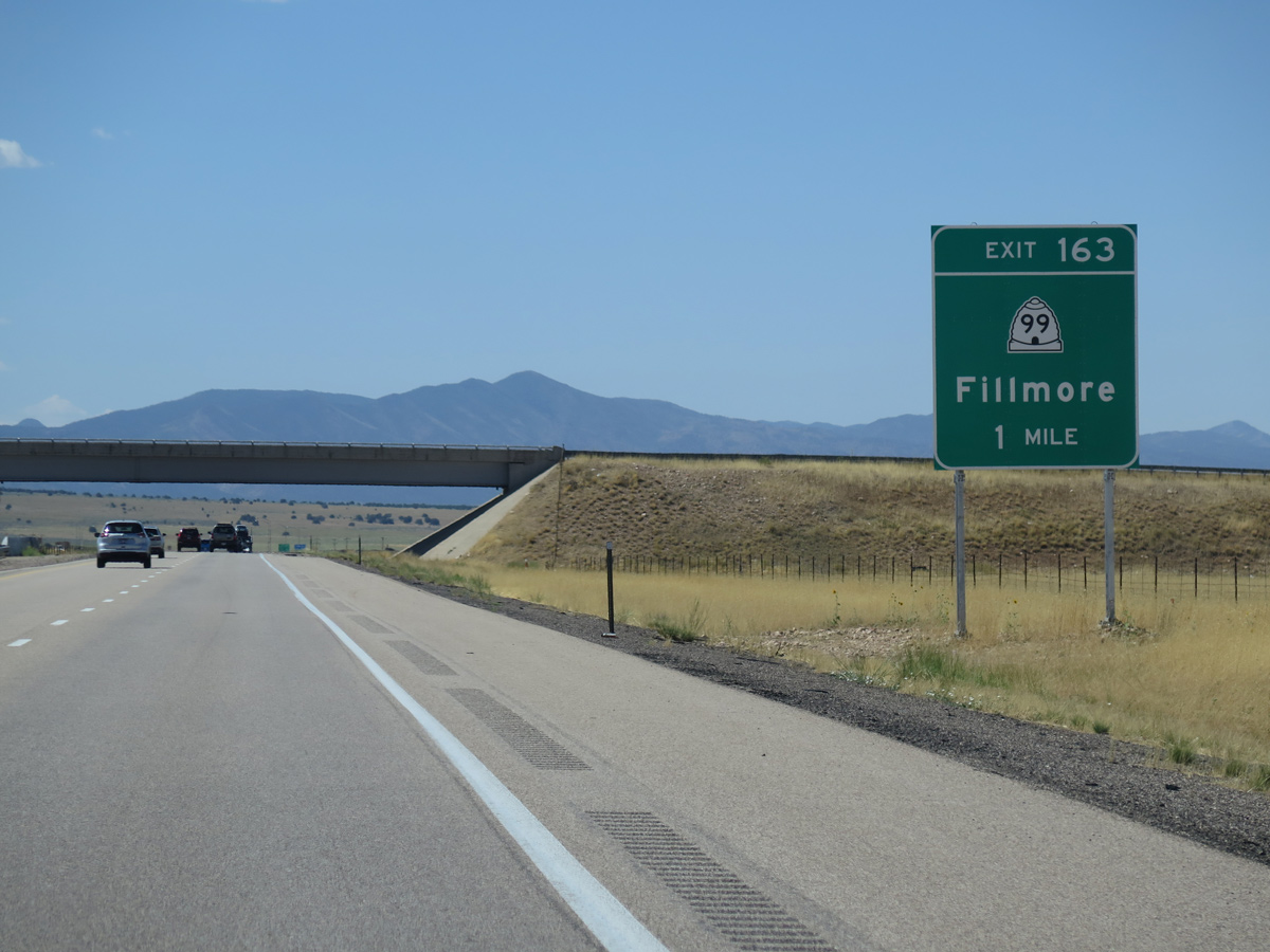
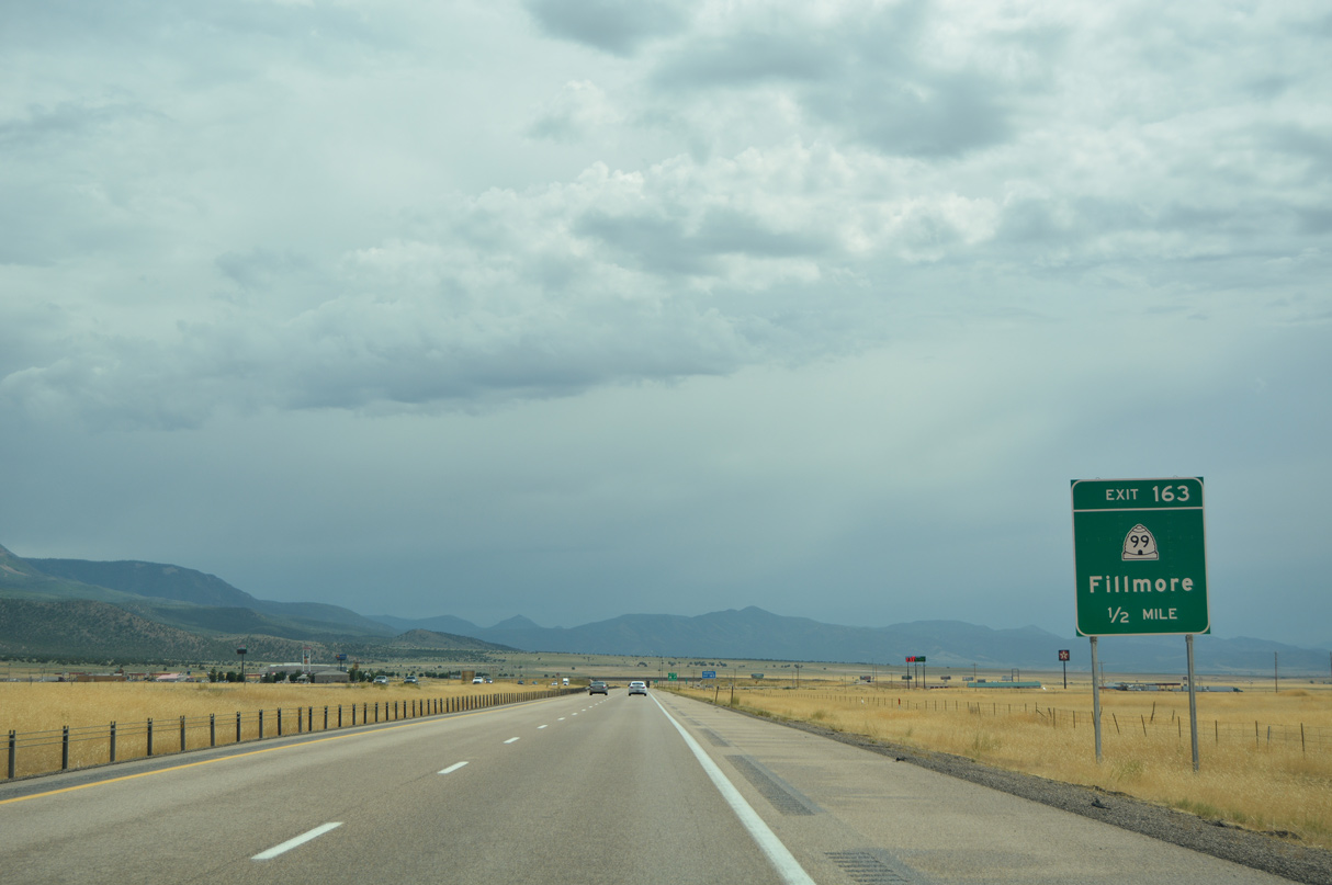
200 South spans I-15 by the Millard County Fairgrounds, one mile north of the diamond interchange (Exit 163) with the return of Business Loop I-15/SR 99.
08/12/16
08/12/16
07/03/16
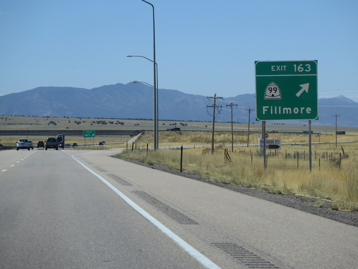
Business Loop I-15 follows old U.S. 91 northeast from the diamond interchange at Exit 163 into Downtown Fillmore.
08/12/16
08/12/16
08/12/16
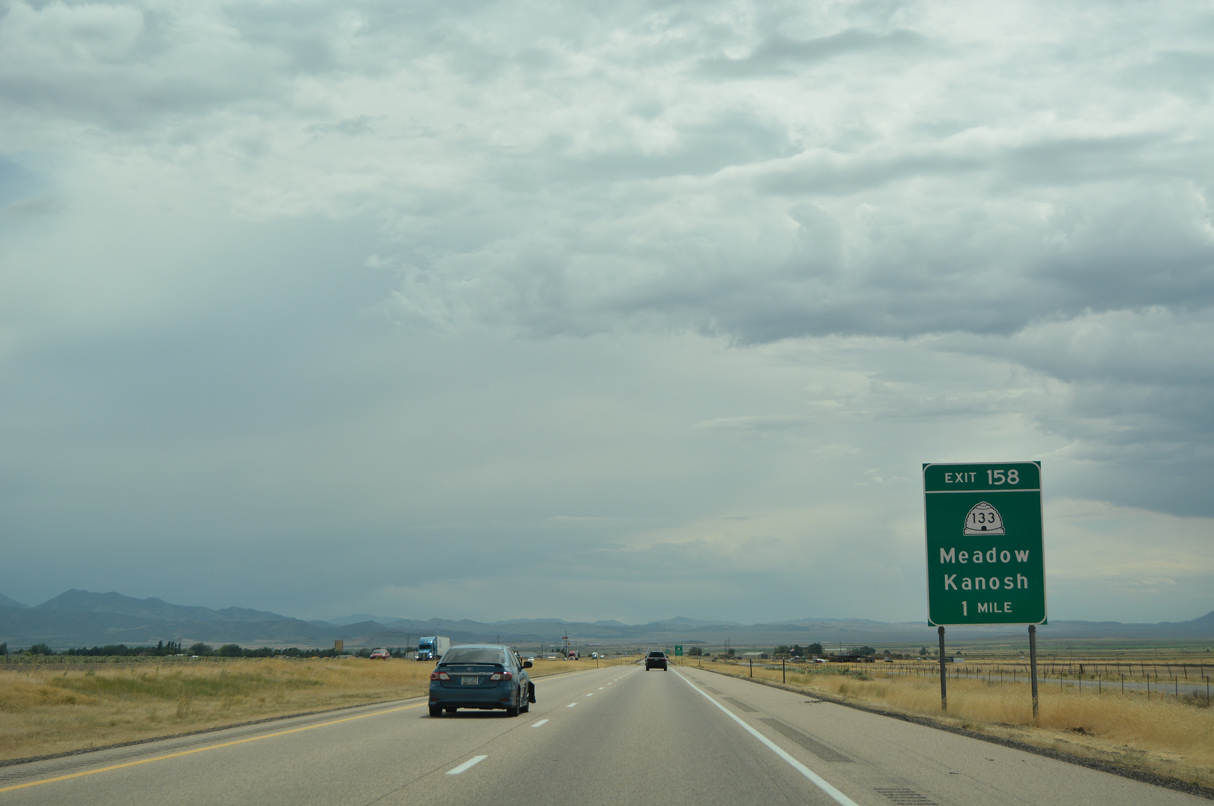
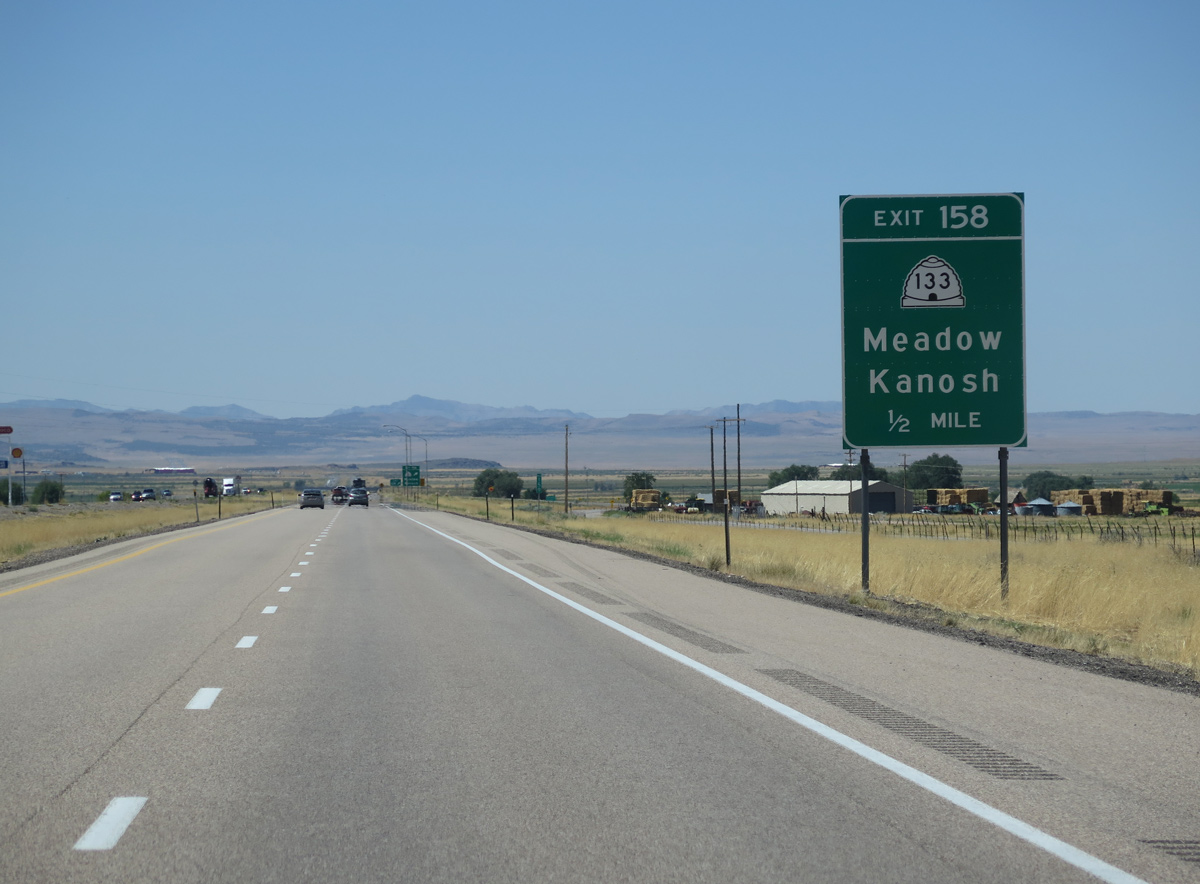
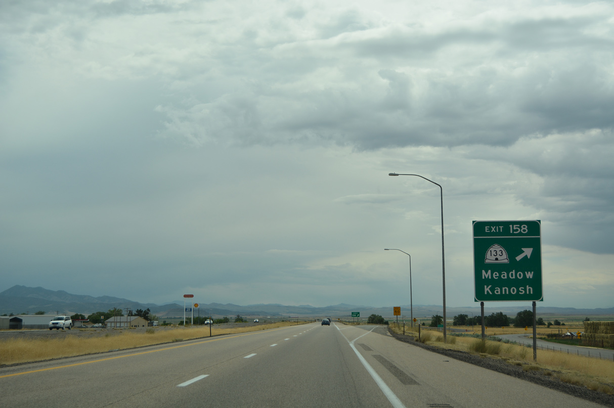
Old U.S. 91 again accompanies Interstate 15 south along the frontage road to Exit 158 and SR 133.
07/03/16
07/03/16
07/03/16
07/12/15
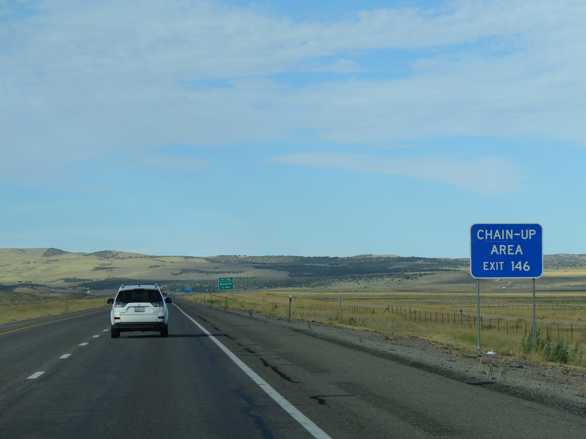
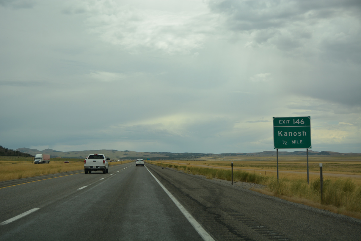
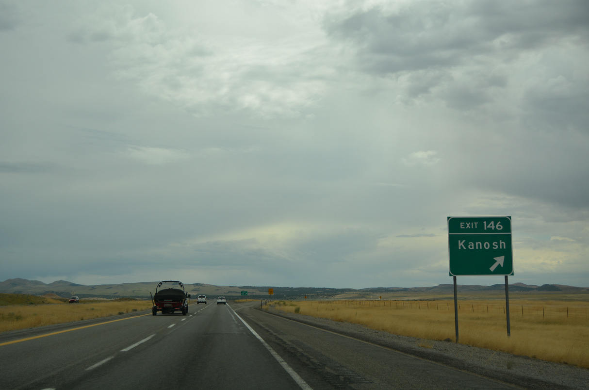
SR 133 follows Old U.S. 91 south through the towns of Meadow and Kanosh. Old U.S. 91 rejoins Interstate 15 at Exit 146.
07/03/16
07/03/16
08/12/16
The 7.17 mile long route of SR 133 follows Main Street through Meadow and concludes at the south Kanosh municipal limits.
07/03/16
07/03/16
07/03/16
08/12/16
07/12/15
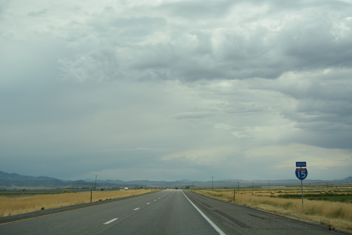
Bypassing Kanosh, Interstate 15 bee lines southwest from Meadow across the Pavant Valley.
08/12/16
08/12/16
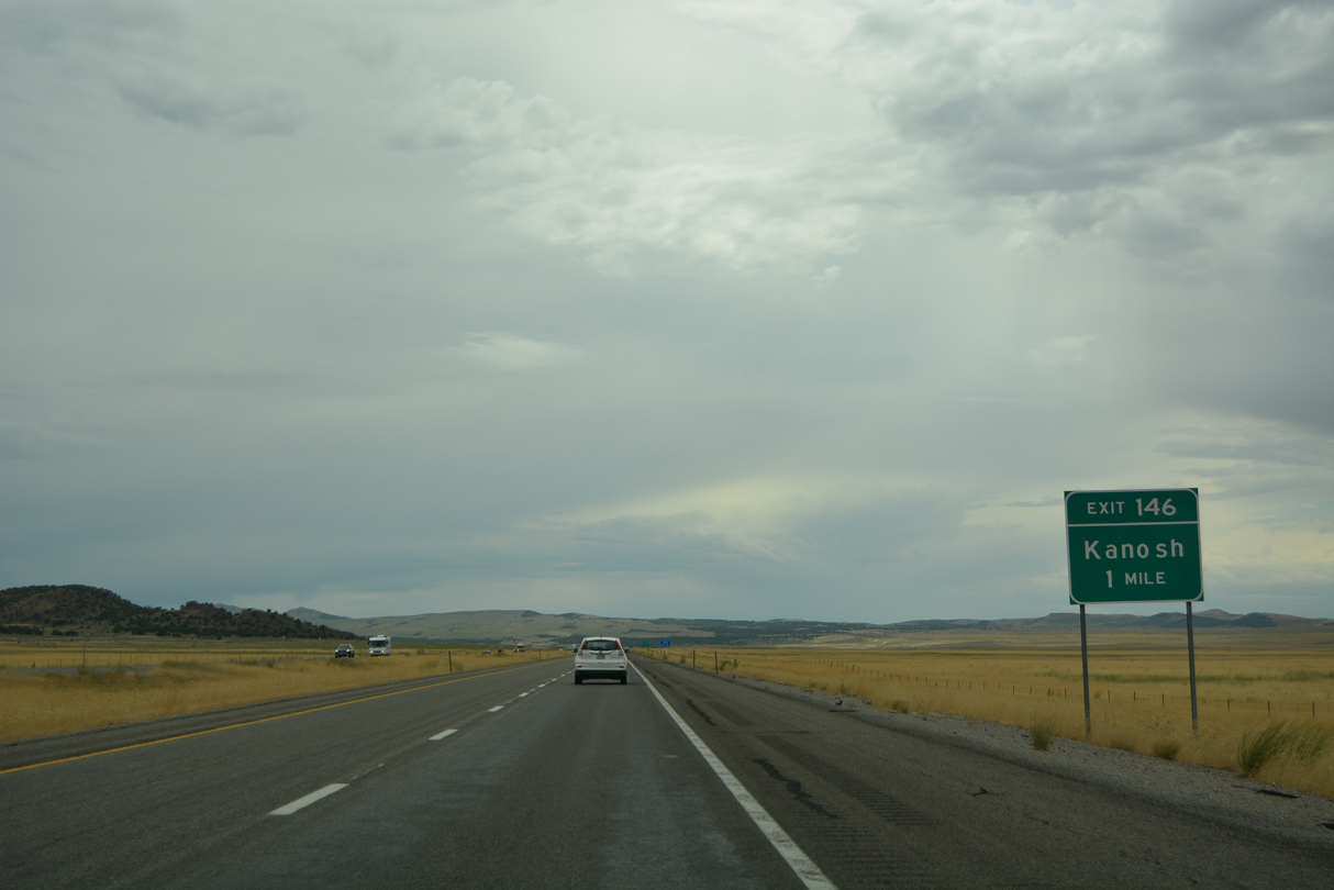
Old U.S. 91/former SR 133 travel 6.95 miles southwest from Kanosh along Six Mile Road to I-15 at Exit 146.
07/03/16
07/03/16
07/12/15
SR 133 east from the diamond interchange at Exit 146 to the Kanosh town line was withdrawn from the state highway system in 1975.
07/03/16
07/03/16
07/03/16
Parallel CR 4599 to the east represents the historic alignment of U.S. 91 south on the ensuing stretch to White Sage Flat.
07/12/15
07/12/15
07/03/16
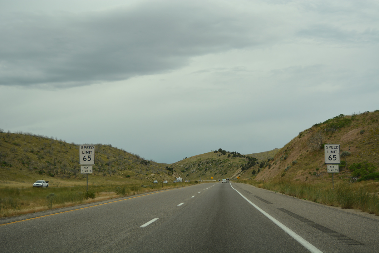
Interstate 15 ascends across western reaches of the Pavant Range through Baker Canyon.
07/03/16
07/03/16
Interstate 15 through Baker Canyon was built directly over what was U.S. 91.
07/12/15
07/12/15
07/03/16
07/03/16
07/03/16
Interstate 15 emerges from Baker Canyon at Dog Valley.
08/25/14
08/25/14

07/03/16
Signs for the diamond interchange at Exit 138 changed to read Dog Valley by 2019.
08/12/16
08/12/16
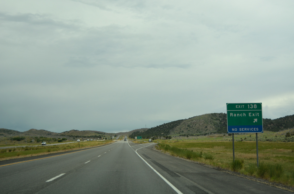
The ranch exit at Dog Valley connects I-15 with County Road 4603.
07/03/16
07/03/16
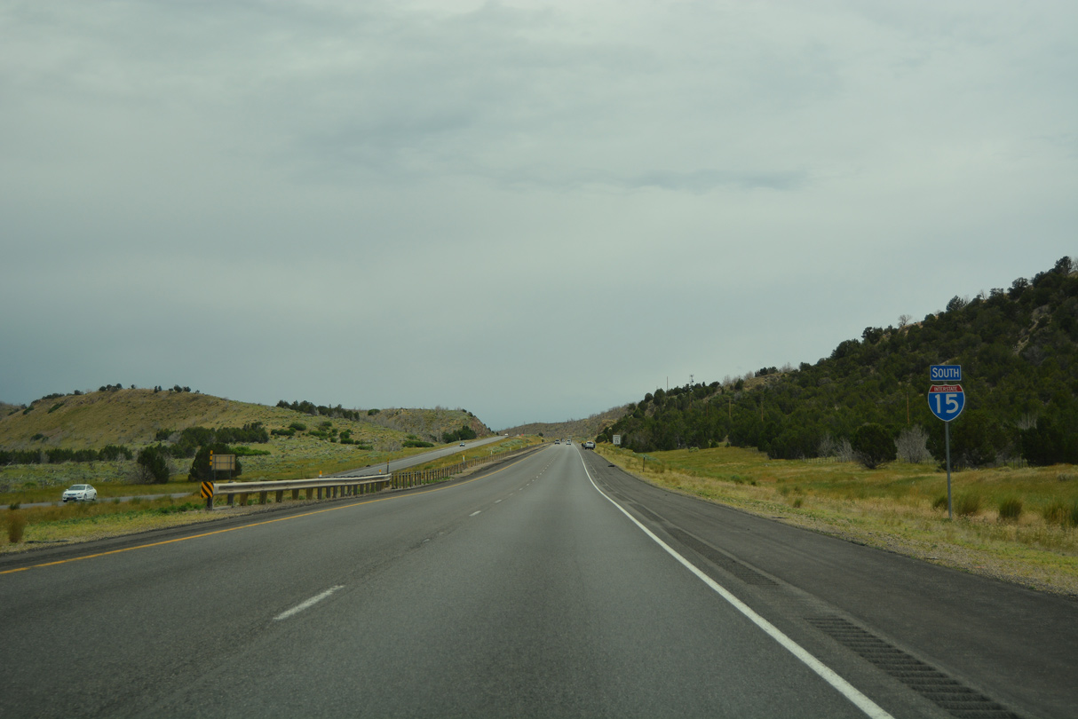
Construction from May 2020 to May 2021 added climbing lanes in both directions of I-15 from milepost 142.5 to milepost 135 near Cove Fort. Work also added a wildlife crossing.1
07/03/16
07/03/16
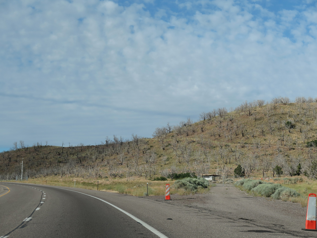
An abandoned rest area lines the southbound roadway at Cove Fort-Dog Valley Pass, ahead of mile marker 136.
07/12/15
07/12/15
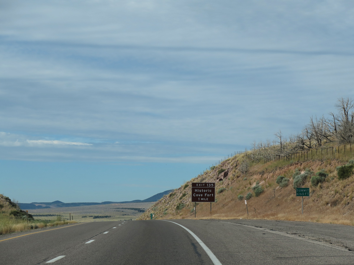
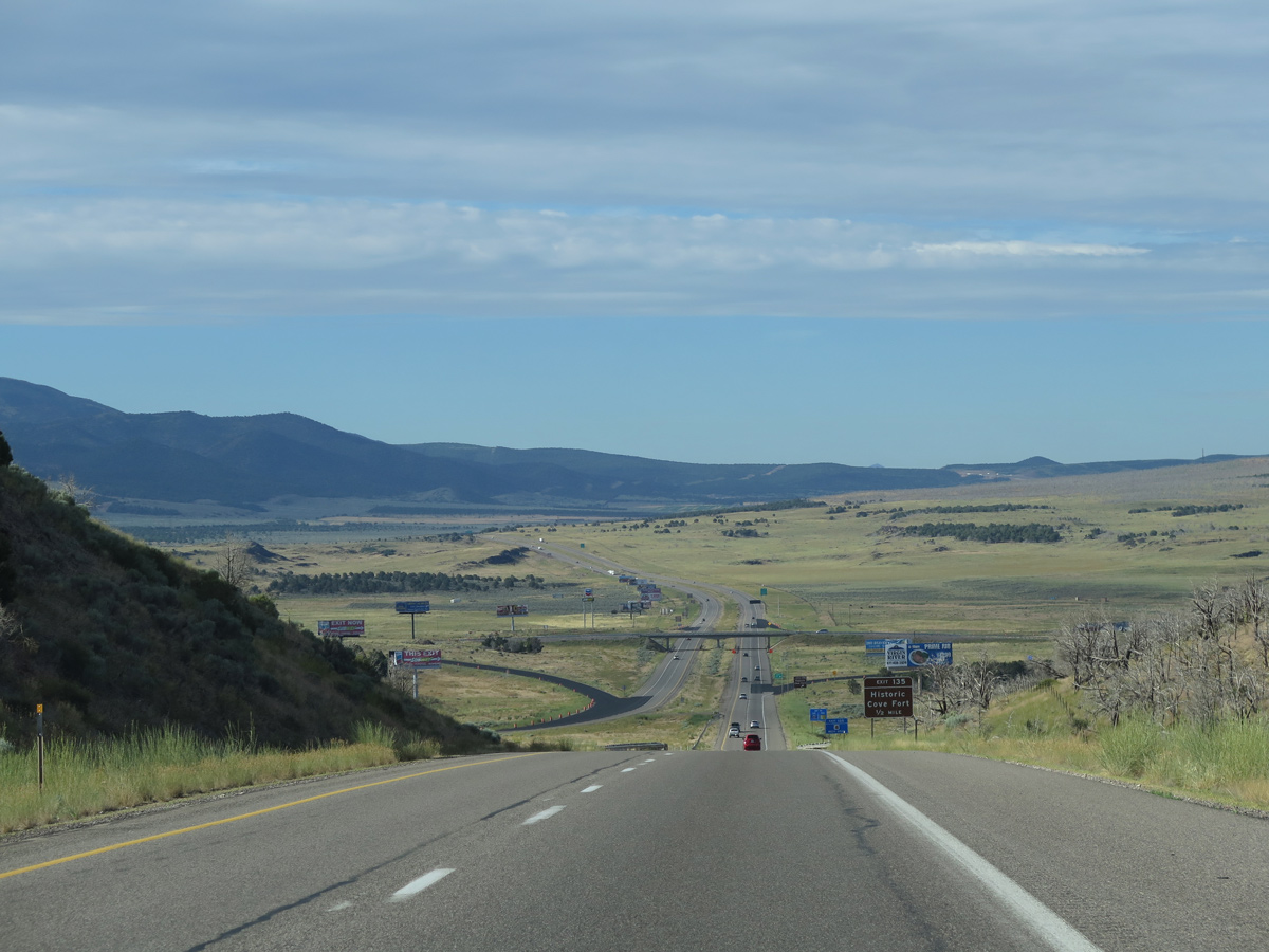
Reaching a summit of 6,160 feet above sea level at Cove Fort-Dog Valley Pass, Interstate 15 descends southward at a six percent grade toward Exit 135 for SR 161 and Cove Fort.
07/12/15
07/12/15
The diamond interchange at Exit 135 represents the north end of SR 161 (Cove Fort Road), a 3.09 mile long loop to I-70 at Exit 1 along old U.S. 91.
07/03/16
07/03/16
07/12/15
The exchange with SR 161 (Cove Fort Road) south and Black Rock Road west falls within Paiute Tribal Lands.
07/03/16
07/03/16
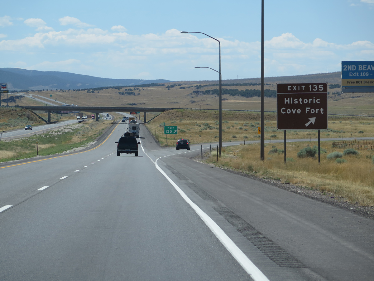
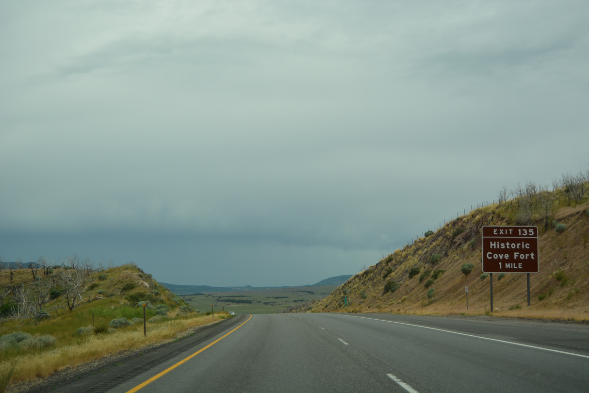
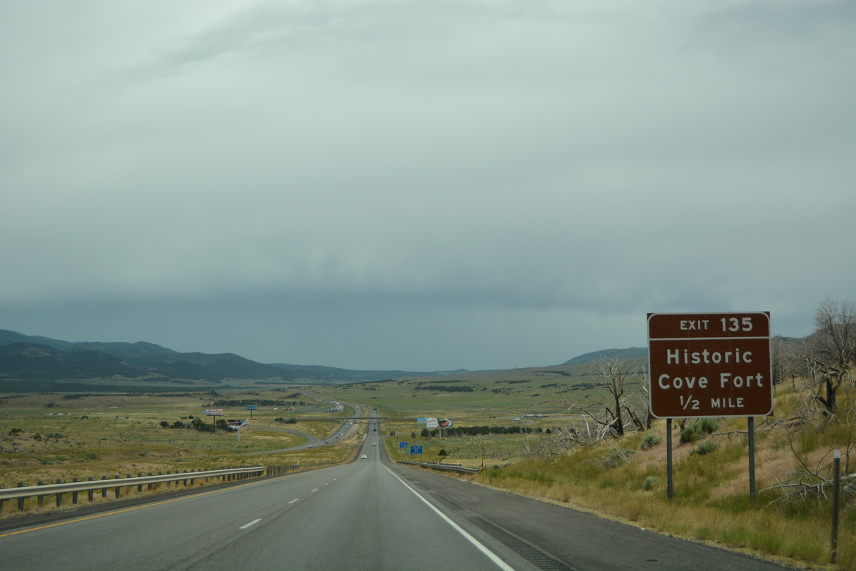
Historic Cove Fort lies southeast of I-15 along SR 161 (Cove Fort Road).
08/12/16
08/12/16
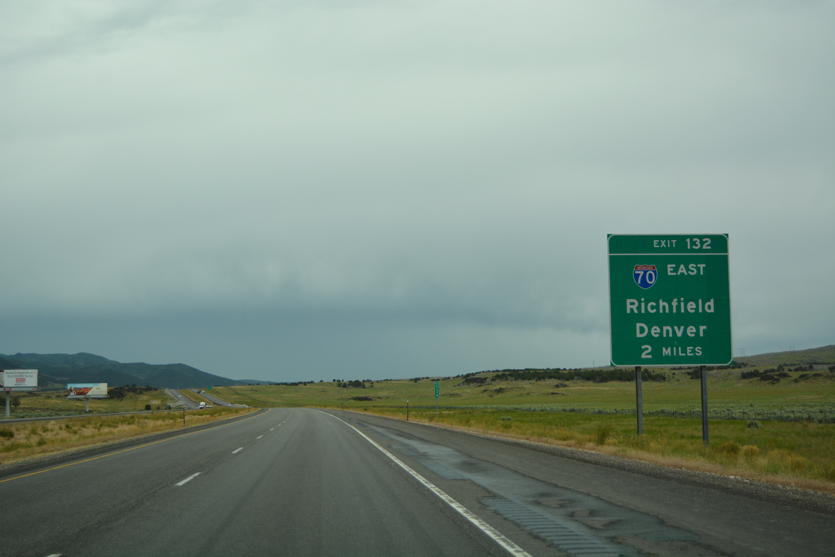
I-15 proceeds south between Cove Fort and Cinder Crater to meet the west end of Interstate 70 at Exit 132.
07/03/16
07/03/16
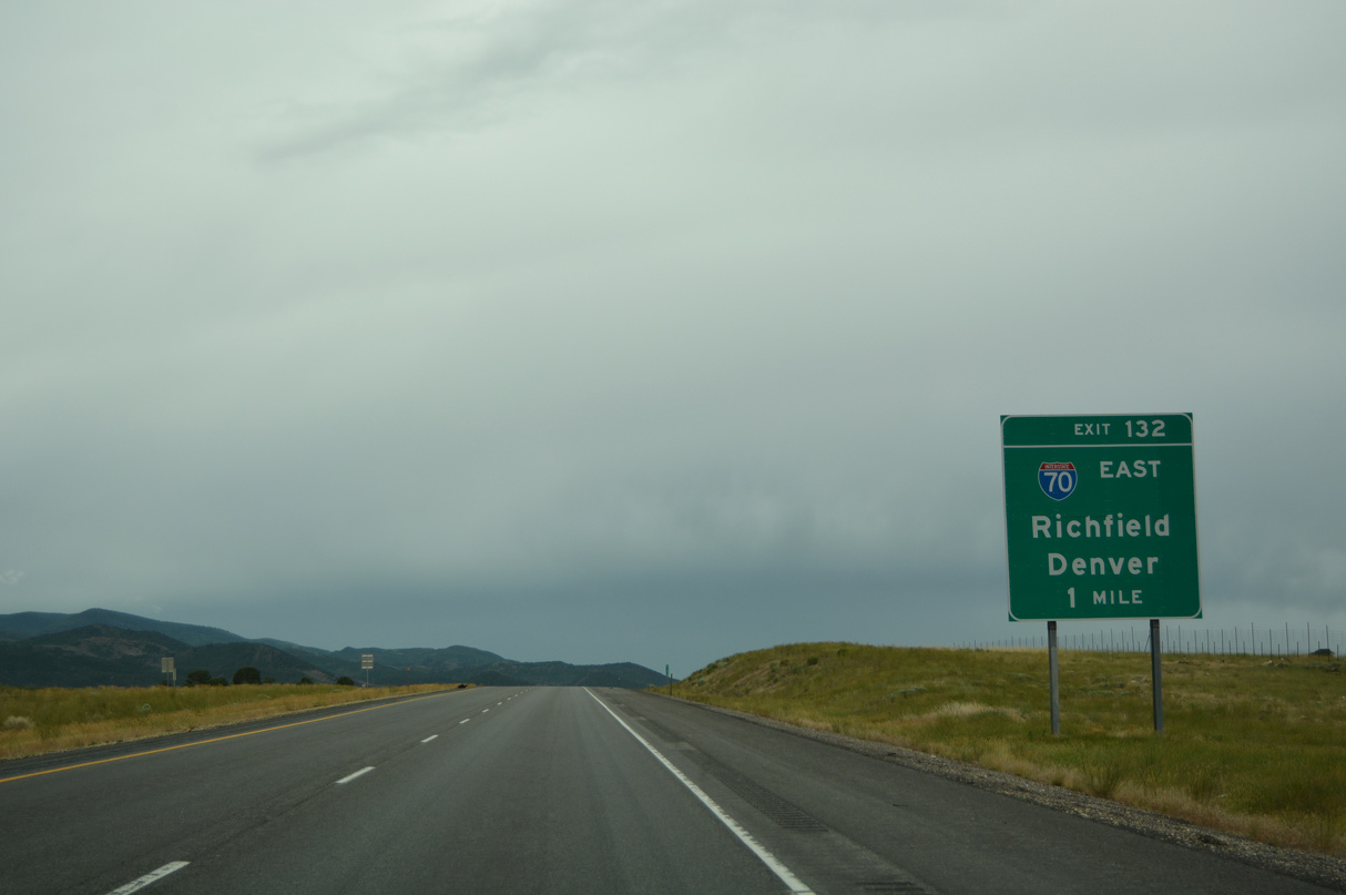
I-70 in Utah crosses the Pahvant Range, then descends into Sevier Valley. Upon reaching Sevier and Joseph, freeway turns northeast toward Richfield. Beyond Salina, I-70 traverses the Fish Lake Mountains, Wasatch Plateau and San Rafael Swell en route to Green River.
07/03/16
07/03/16
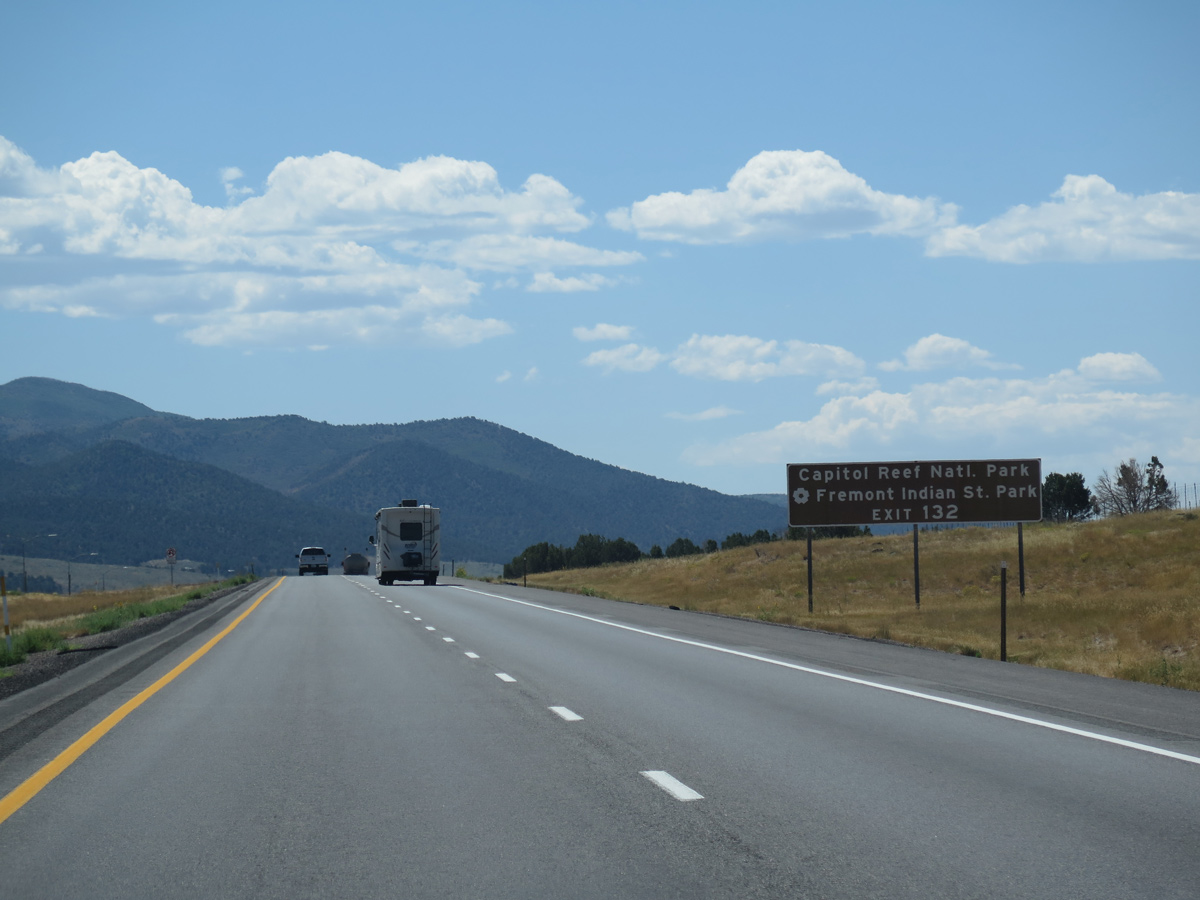
I-70 travels east to Fremont Indian State Park at Exit 17 and to SR 24 south for Capital Reef National Park at Exit 48. I-70 also serves interests for Canyonlands National Park and Arches National Park in eastern Utah.
08/12/16
08/12/16
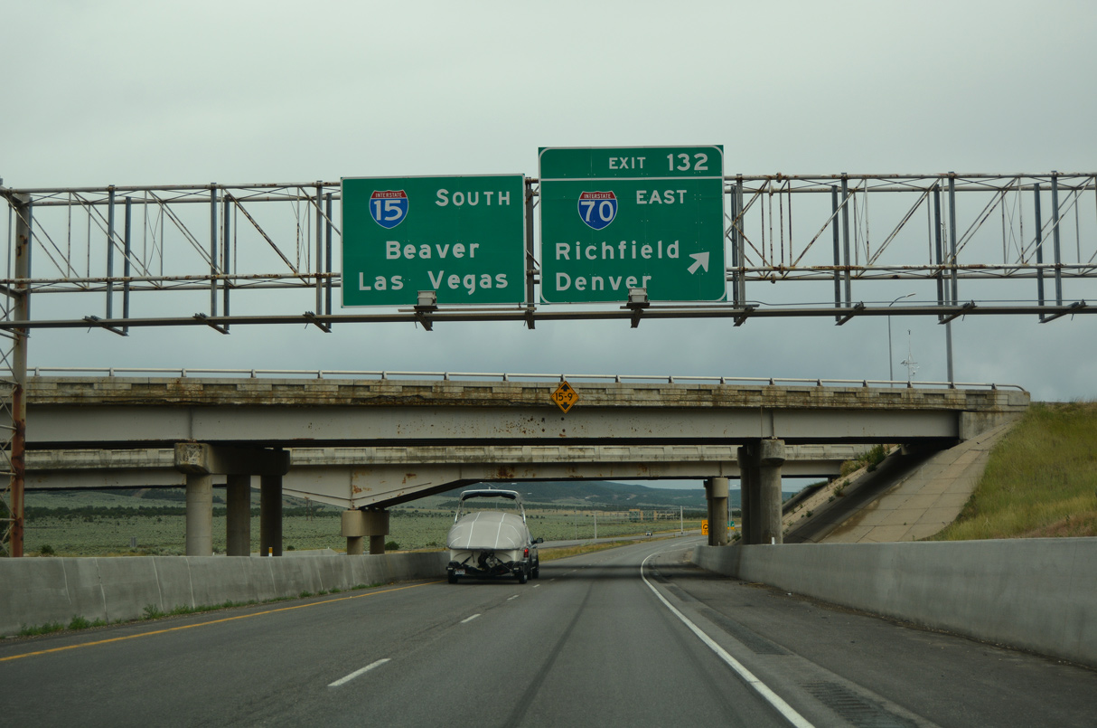
Interstate 70 stretches 2,153 miles across the country to Denver, Kansas City, St. Louis, Indianapolis and I-695 at Baltimore, Maryland. 231.85 miles long in Utah, I-70 crosses Grand Valley into Colorado ahead of Grand Junction.
07/03/16
07/03/16

References:
- I-15; MP 135 to MP 142.5, Climbing Lanes - Pin: 15735 (Millard County). Utah Department of Transportation, project summary page.
Photo Credits:
- Andy Field: 08/25/14, 07/12/15, 08/12/16
- Alex Nitzman: 07/03/16
Connect with:
Page Updated Friday February 18, 2022.