
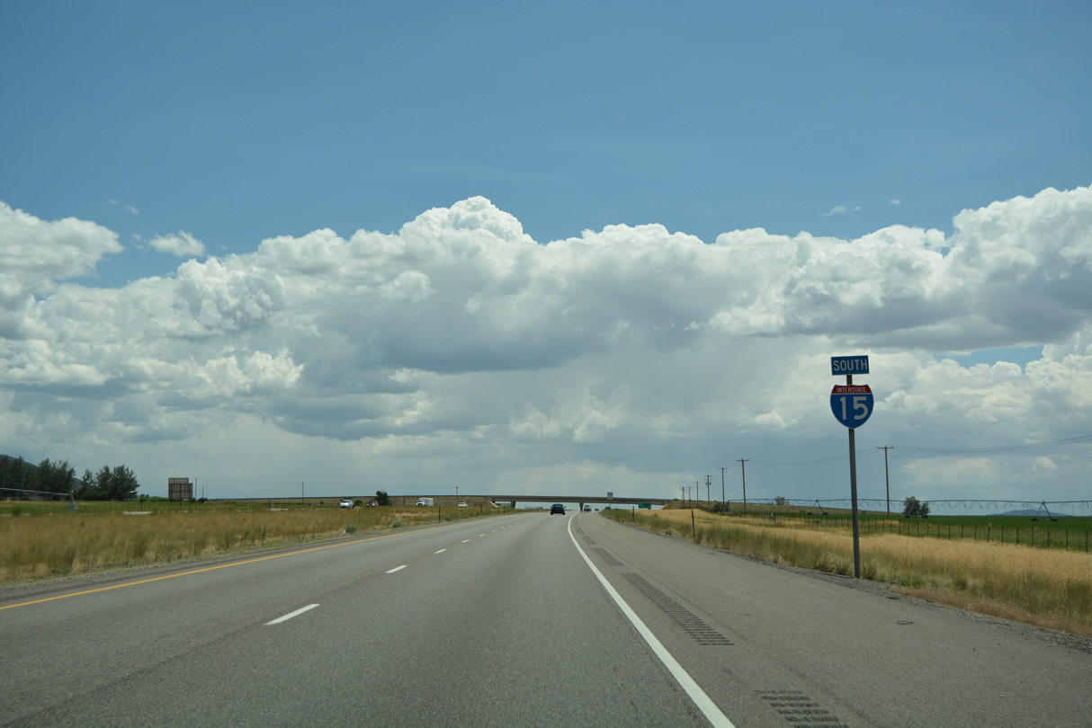
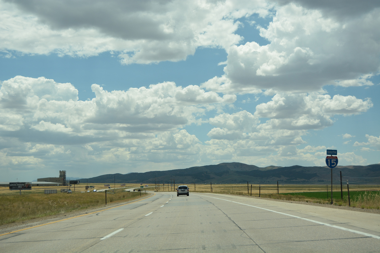
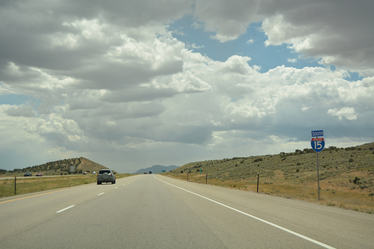
Interstate 15 South - Nephi to Scipio
 South
South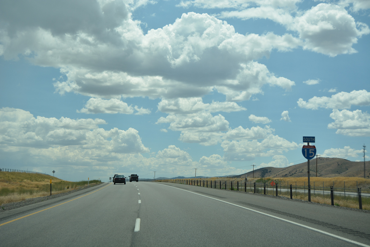
07/03/16

07/03/16
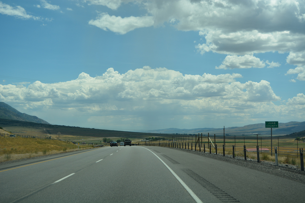
Known as "Utah's Key County," Juab County had a population of 11,786 people as of the 2020 Census. Some would say that a map of the county makes it look like an old fashioned key.
07/03/16
07/03/16
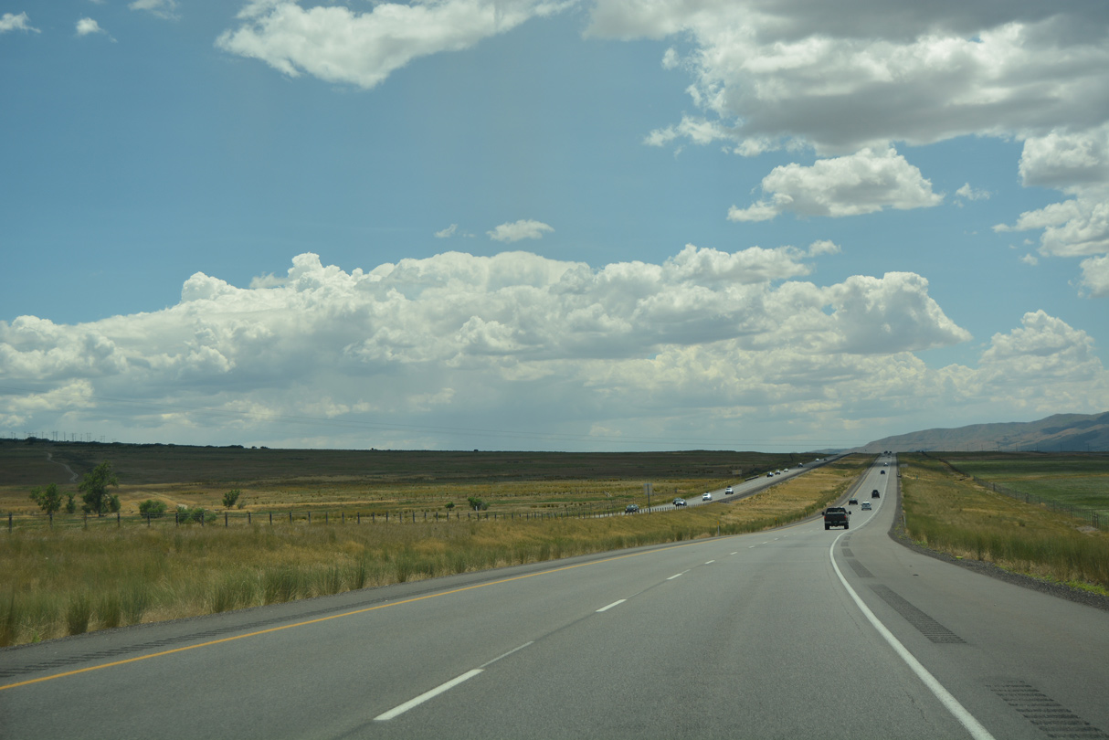
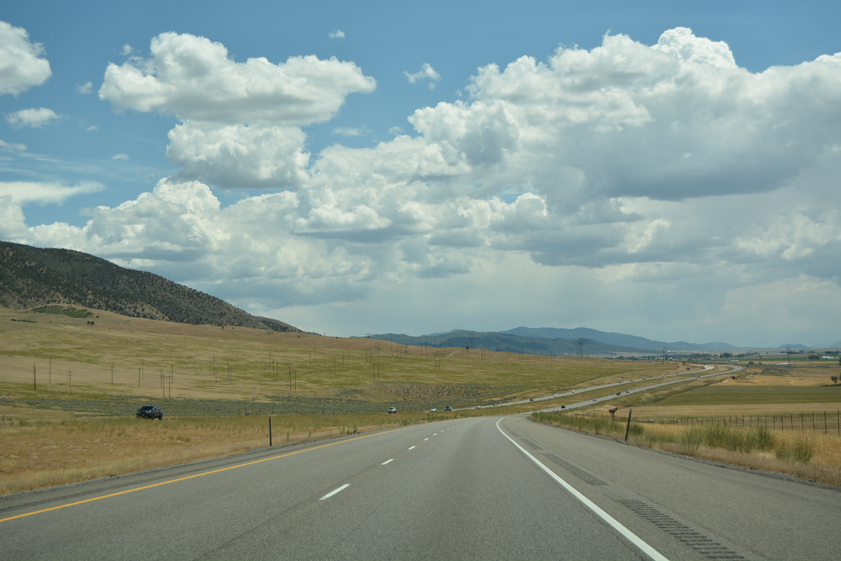
Interstate 15 passes between the town of Rocky Ridge and Bald Mountain (el. 10,882 feet) through northern Juab County.
07/03/16
07/03/16
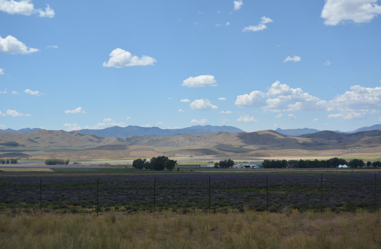
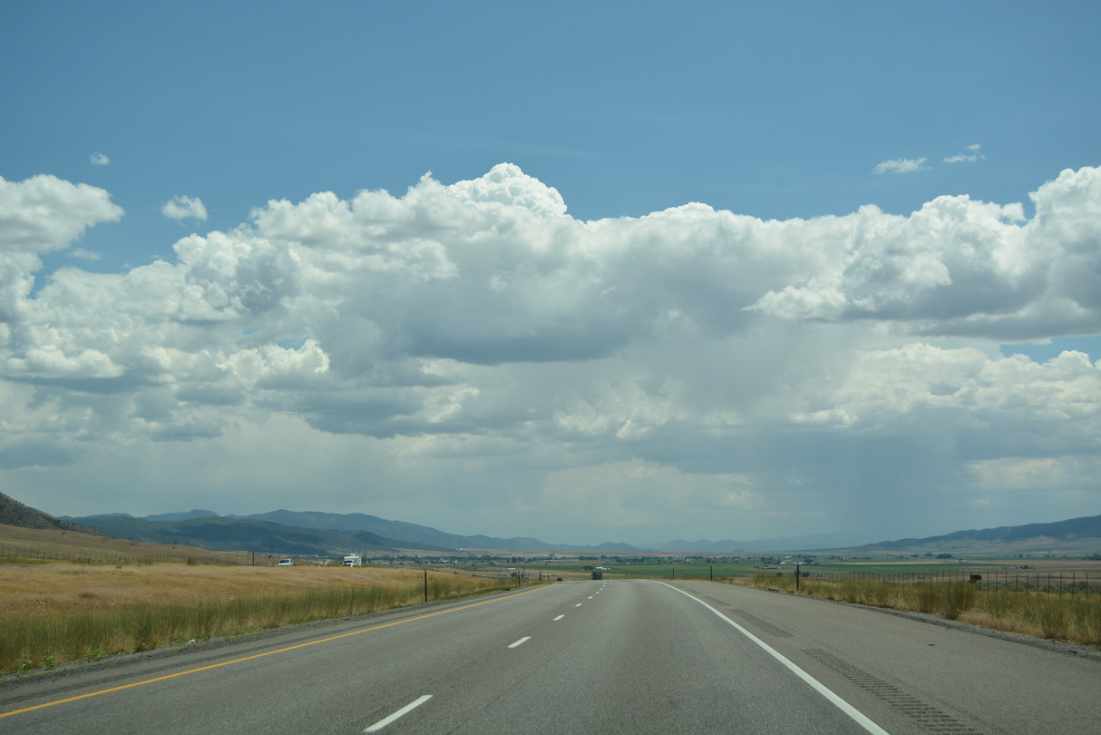
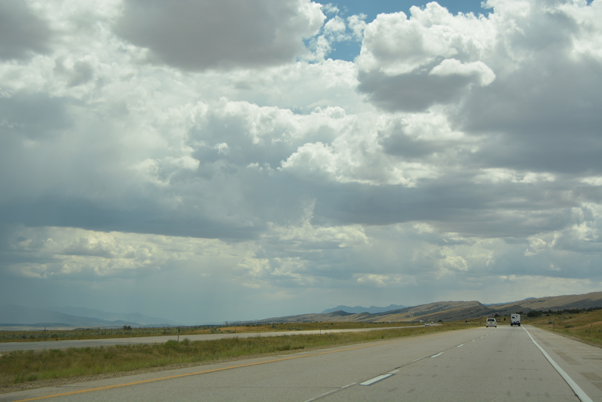
Fertile areas of Juab Valley spread into view along Interstate 15 south.
07/03/16
07/03/16
Mona Reservoir and Long Ridge appear to the west of Interstate 15.
07/03/16
07/03/16
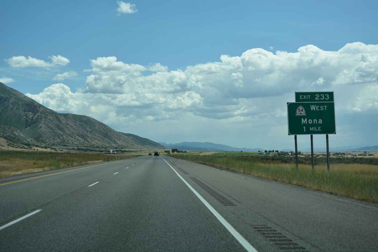
The succeeding exit is for SR 54 (300 North) west into the city of Mona.
07/03/16
07/03/16
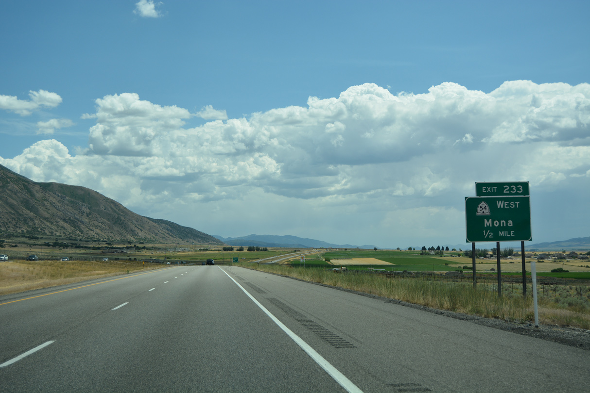
A 1.34 mile long route, SR 54 links Interstate 15 with Main Street (old U.S. 91) north of the Mona business district.
07/03/16
07/03/16

Entering the diamond interchange with SR 54 on I-15 south. Points of interest for Exit 233 include the Young Living Family Farm.
07/03/16
07/03/16
07/03/16
07/03/16
07/03/16
07/03/16
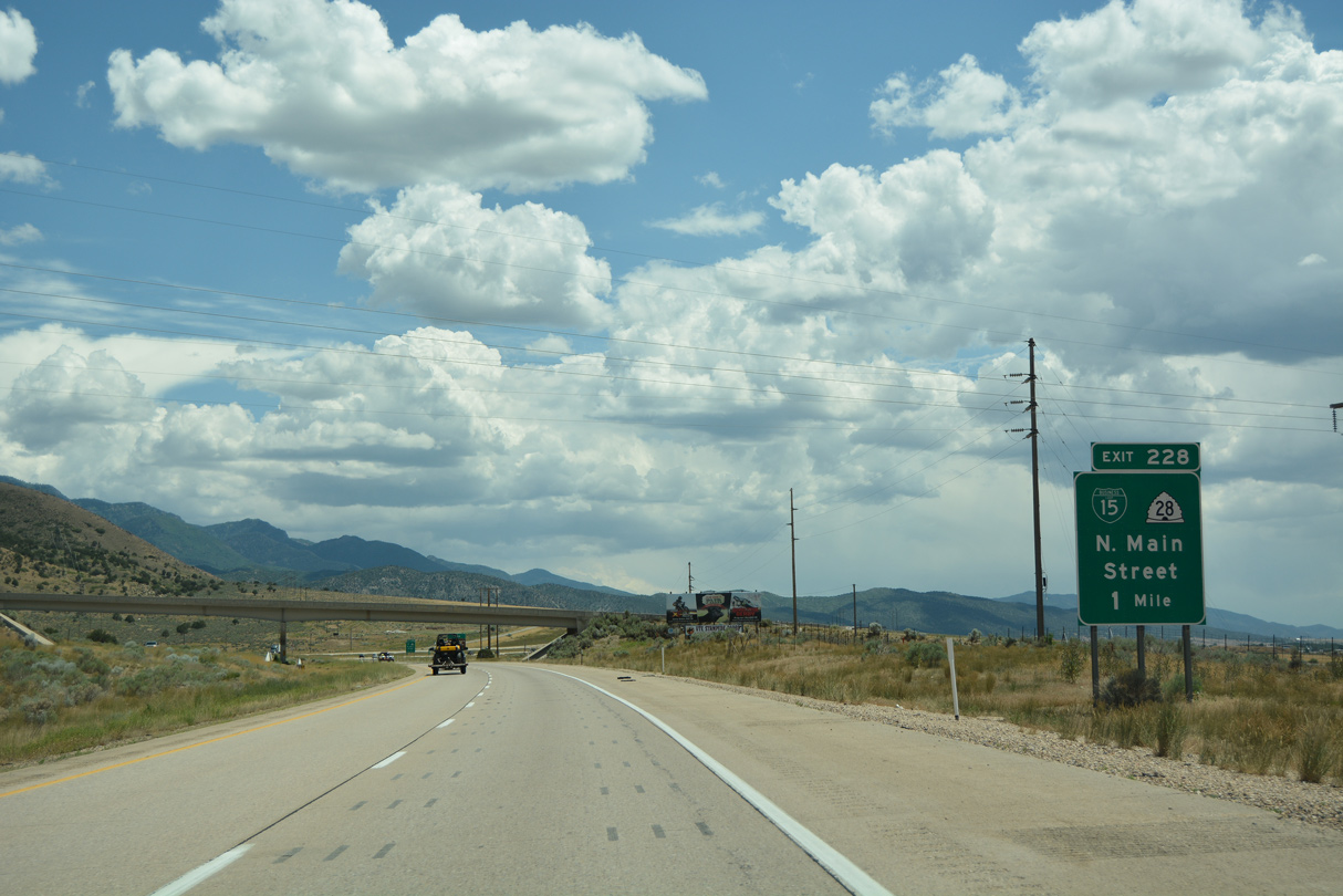
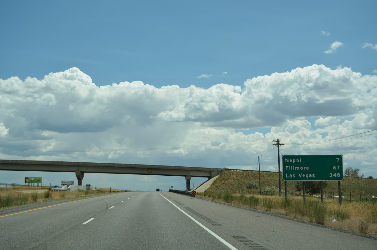
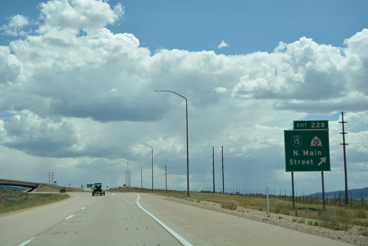
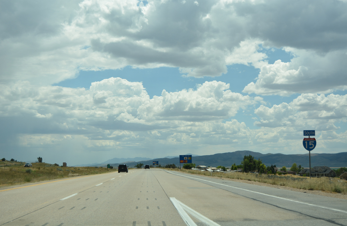
The first of three exits for Nephi, the seat of Juab County, is Business Loop I-15/SR 28 south onto Main Street (old U.S. 91).
07/03/16
07/03/16
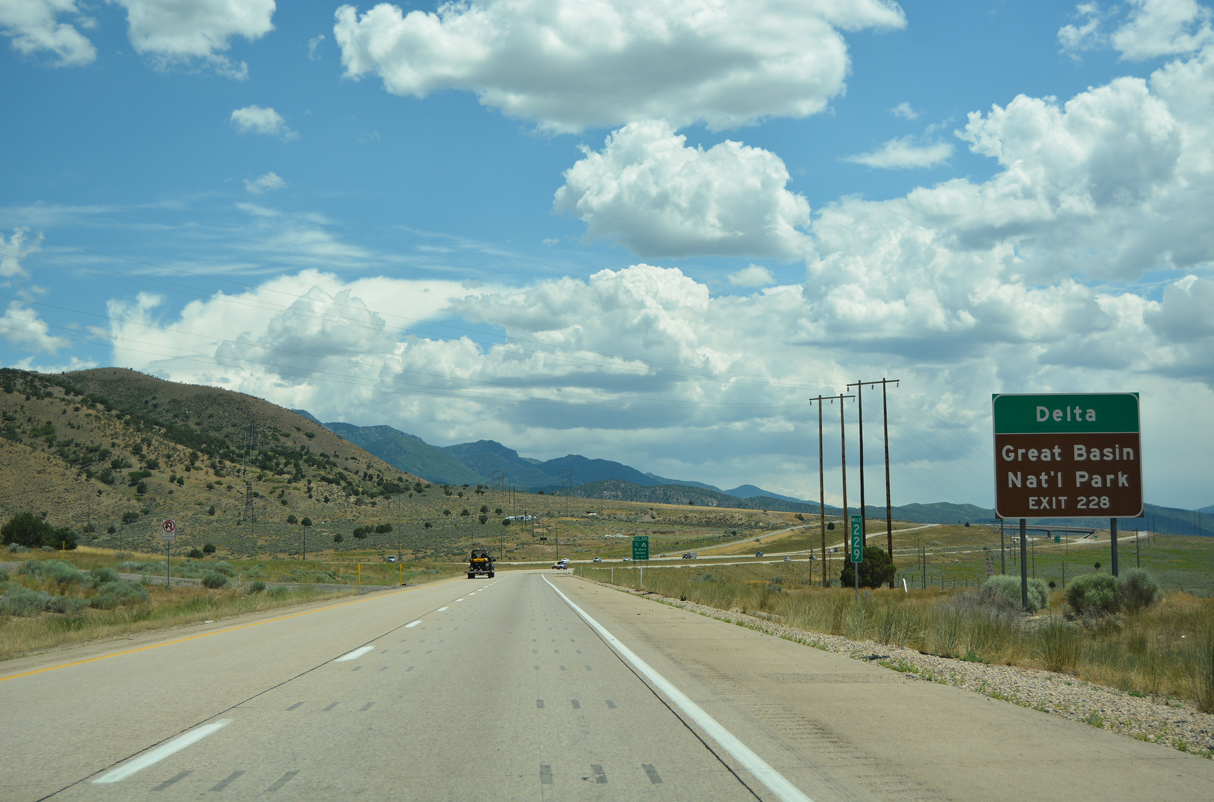
SR 132 west from Nephi to U.S. 6 at Lynndyl provides an alternate route for U.S. 6 southwest to Delta and Great Basin National Park.
07/03/16
07/03/16
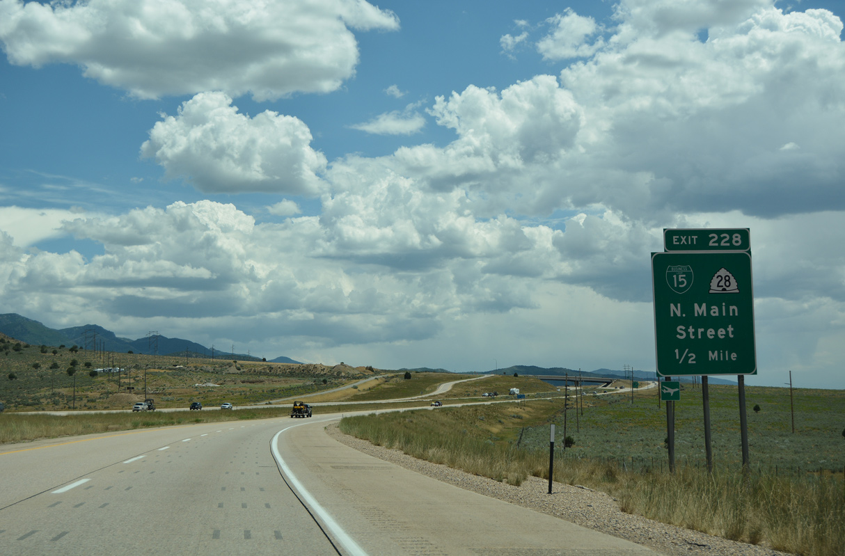
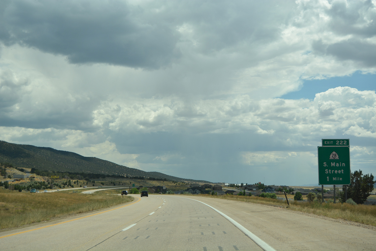
Business Loop I-15 between Exits 228 and 222 was designated as SR 41 when U.S. 91 was decommissioned in 1976, but SR 41 was eliminated in 2006 in favor of SR 28 in order to provide a continuous numerical designation for the route from Gunnison north to Nephi via Levan.
07/03/16
07/03/16
Meeting I-15 again at Exit 222, SR 28 travels 43.67 miles south from Exit 228 to U.S. 89 in Gunnison.
07/03/16
07/03/16
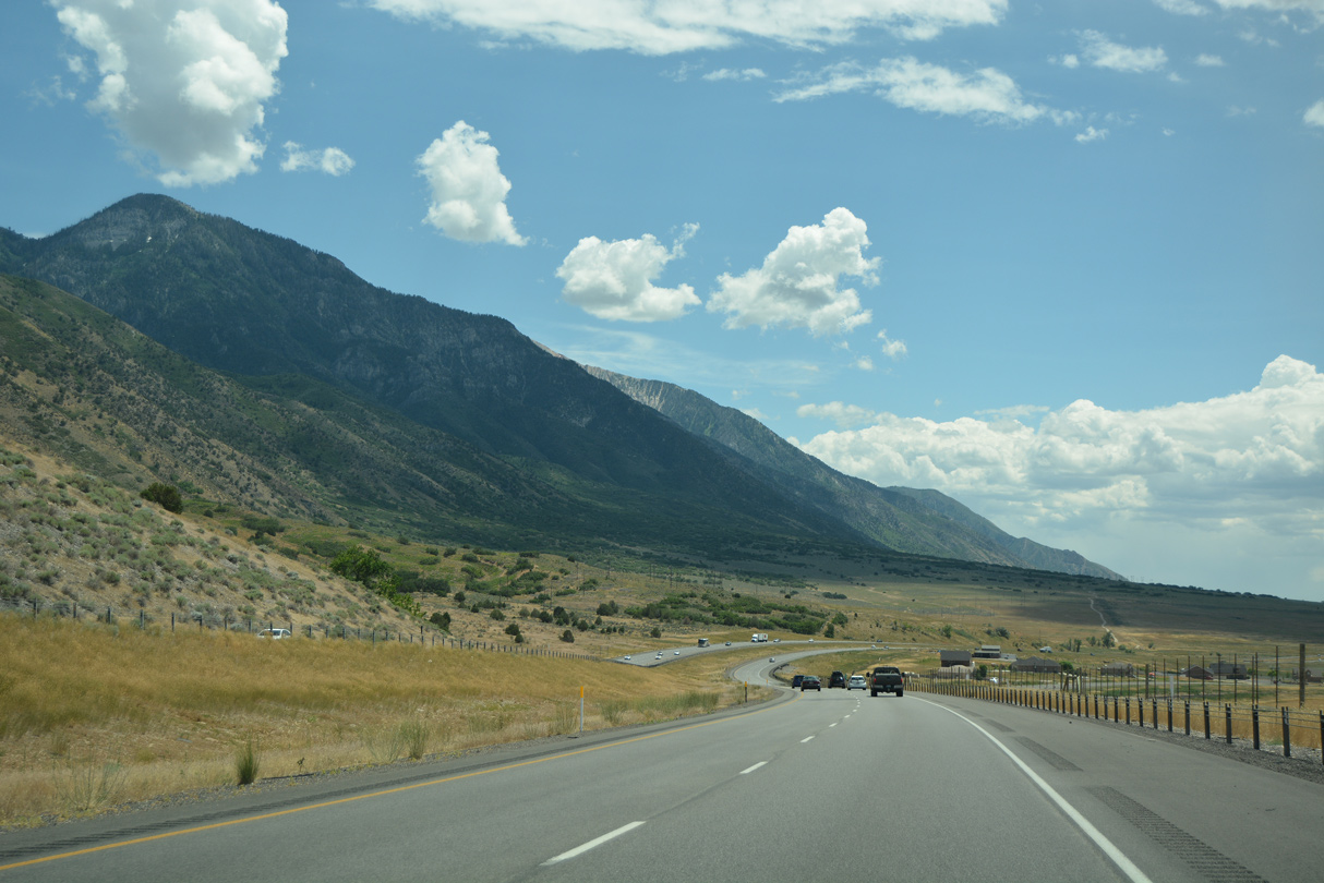
Interstate 15 encircles Nephi to the east along the southern extent of the Wasatch Range.
07/03/16
07/03/16
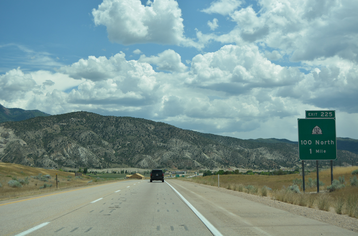
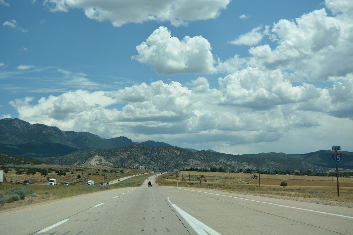
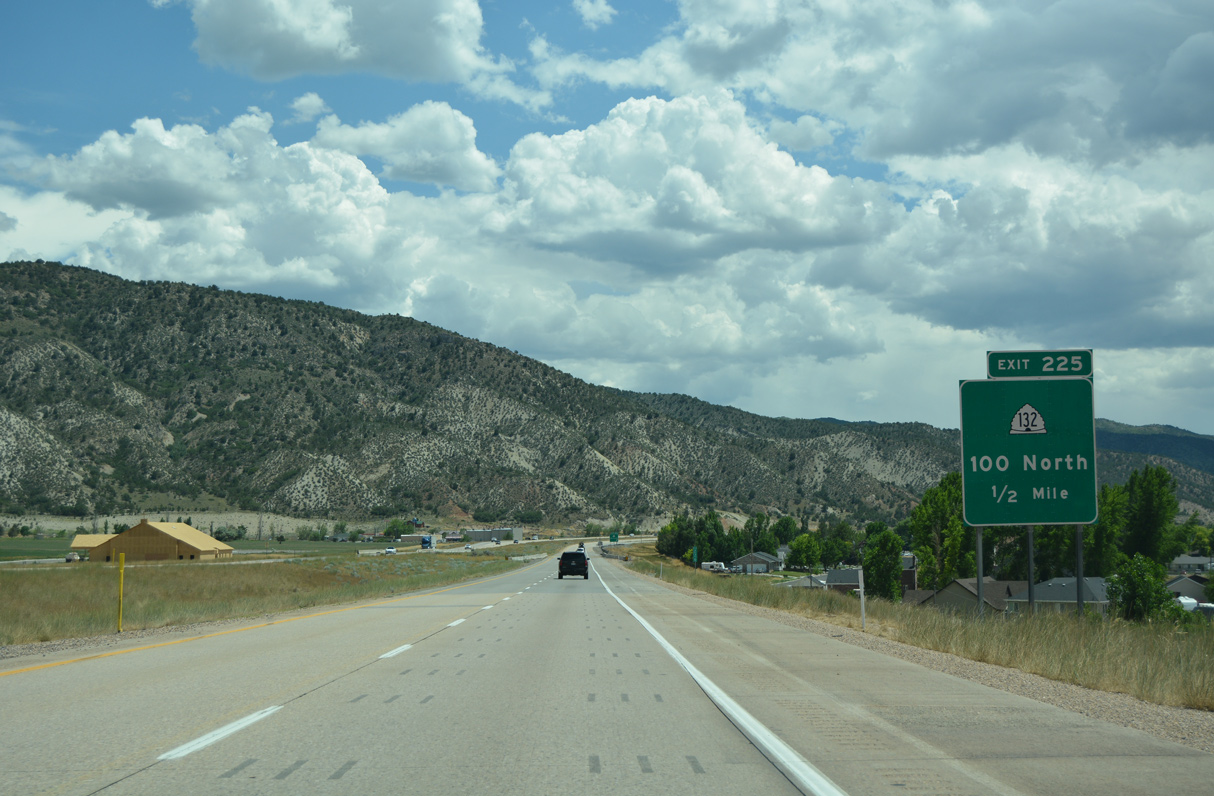
SR 132 meets I-15 at a diamond interchange (Exit 225) east of Downtown Nephi along 100 North. With a population of 6,824 in 2020, Nephi is "The Friendly City at the Crossroads of Utah."
07/03/16
07/03/16
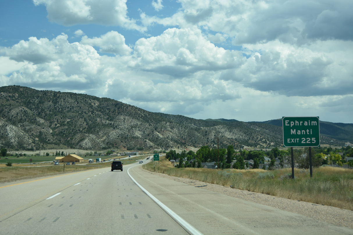
SR 132 forms a 63.20 mile long arc from U.S. 6 at Lynndyl to U.S. 89 at Pigeon Hollow Junction. Ephraim and Manti lies south of the east end of SR 132 along U.S. 89 in Sanpete Valley.
07/03/16
07/03/16
SR 132 between I-15 and U.S. 89 was a former alignment of U.S. 189. It was decommissioned in 1938 when U.S. 189 was realigned between Provo and Jackson, Wyoming over what was SR 7, U.S. 530 and U.S. 30S from Provo into Evanston.
07/03/16
07/03/16

SR 132 runs along Salt Creek east between the Wasatch Range and San Pitch Mountains into northern Sanpete Valley ahead of Fountain Green and Moroni.
07/03/16
07/03/16
07/03/16
07/03/16

07/03/16
SR 28 runs along the east side of Juab Valley to Levan, and east of Sevier Bridge Reservoir to Fayette.
07/03/16
07/03/16
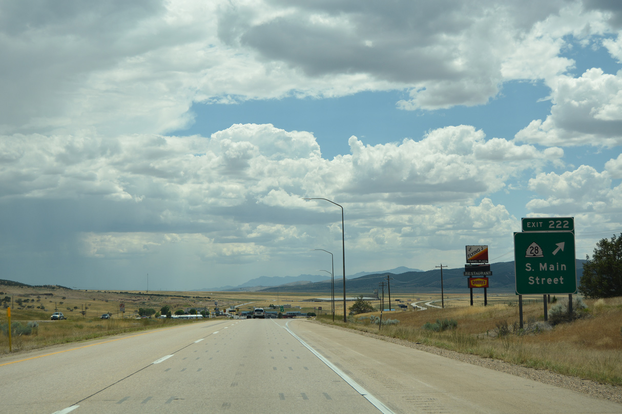
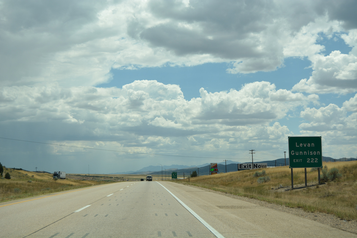
Business Loop I-15 through Nephi concludes at the diamond interchange (Exit 222) joining Interstate 15 with SR 28 (Main Street).
07/03/16
07/03/16
07/03/16
08/12/16
07/03/16
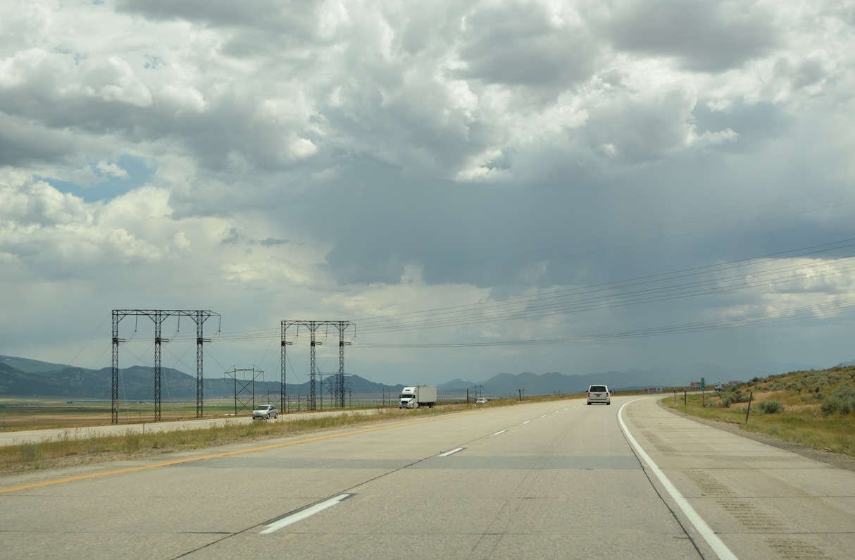
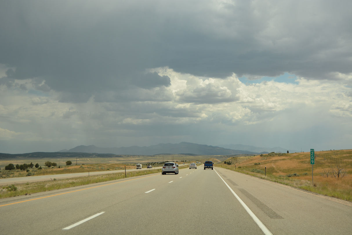
A pair of 345kV power lines converge with Interstate 15 beside Cedar Mountain (el, 6,588 feet). near mile marker 216
07/03/16
07/03/16
07/03/16

07/03/16
07/03/16
Old U.S. 91 west from Levan and southwest along the Union Pacific Railroad is designated as SR 78.
07/03/16
07/03/16
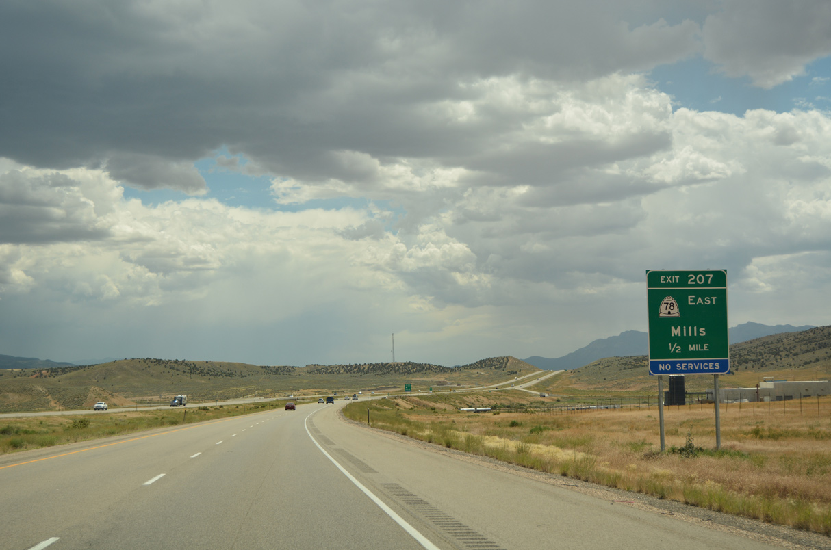
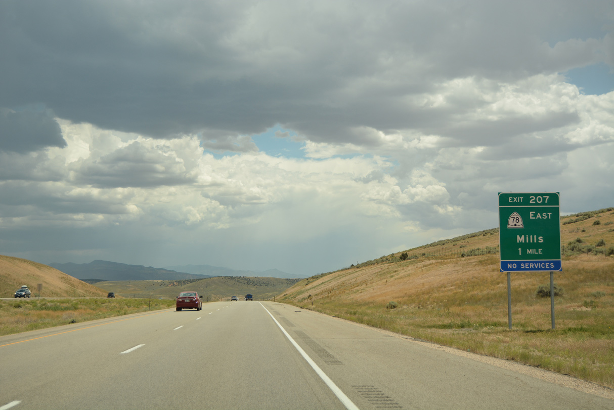
A 9.41 mile long highway, SR 78 concludes west of the Mills Junction Interchange (Exit 207) with I-15 and northeast at 100 North and SR 28 (Main Street) in Levan.
07/03/16
07/03/16
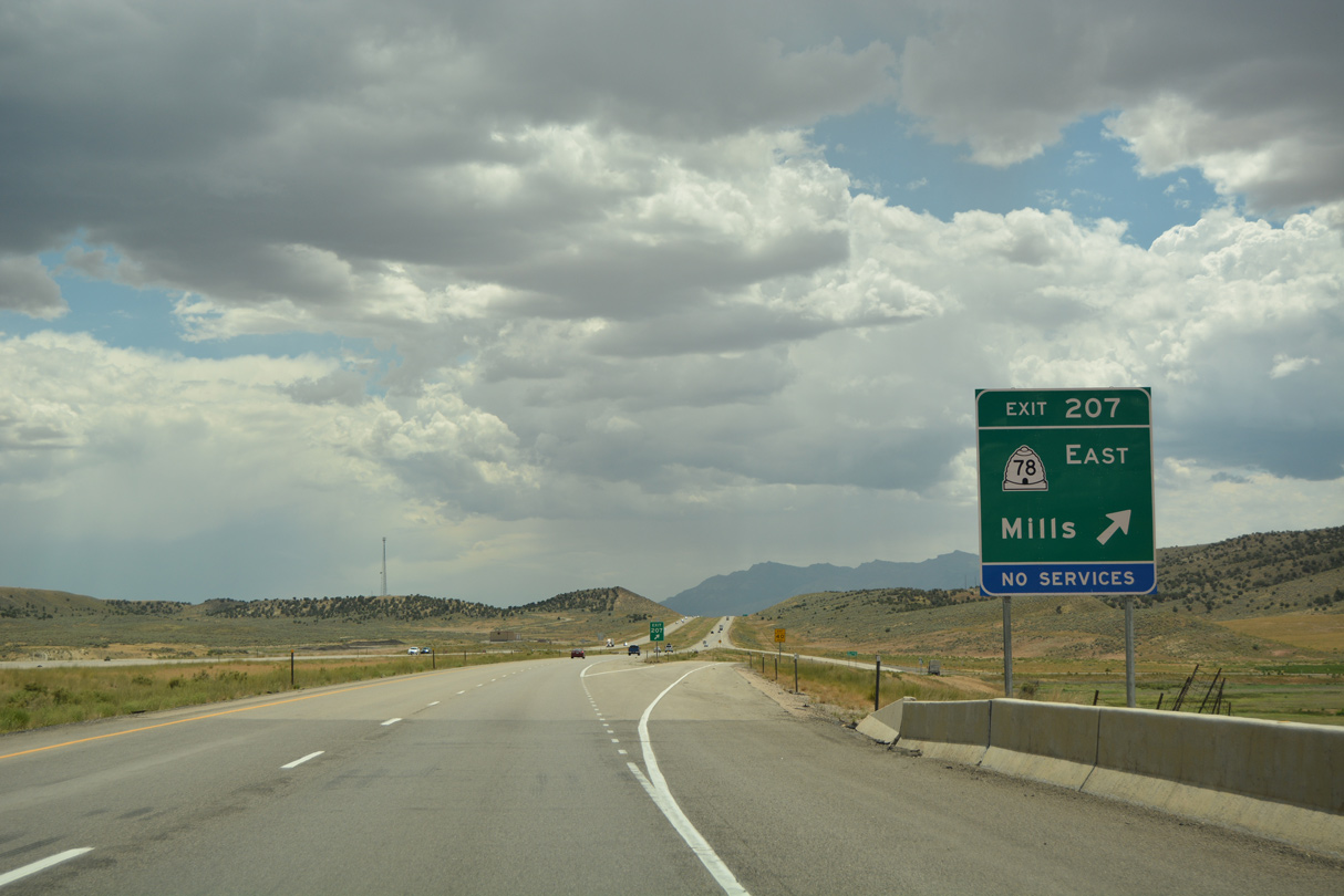
The settlement of Mills lies west of the diamond interchange at Exit 207. Chicken Creek Reservoir is just east of I-15 along SR 78.
07/03/16
07/03/16
07/03/16
07/03/16
The Canyon Mountains rise beyond Mills Valley and Little Valley to the far southwest.
08/25/14
08/25/14
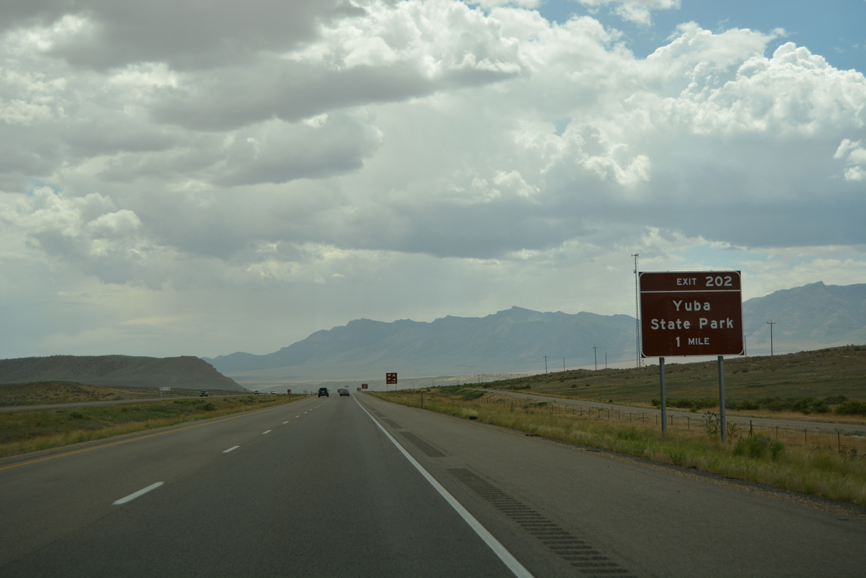
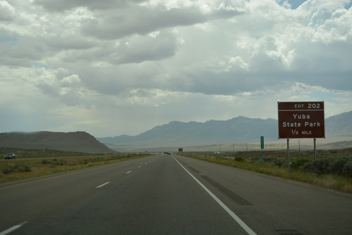
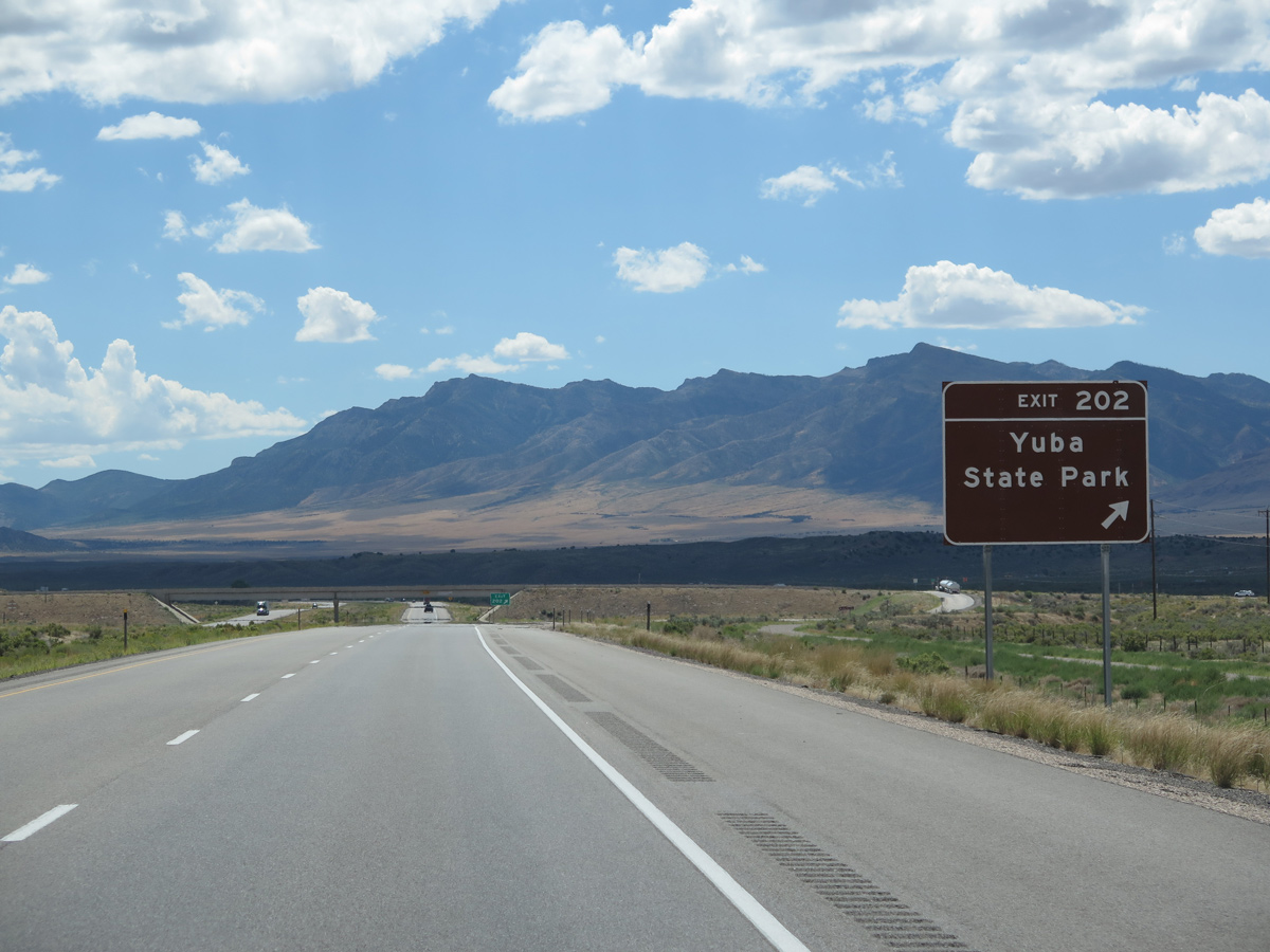
Old Yuba Dam Road branches south from Exit 202 to Yuba Lake State Park.
07/03/16
07/03/16
Old Yuba Dam Road runs 4.69 miles south from the I-15 frontage road system to the north end of Yuba Dam. Forming Sevier Bridge Reservoir, Yuba Dam impounds water along the Sevier River.
07/03/16
07/03/16
08/25/14
07/03/16
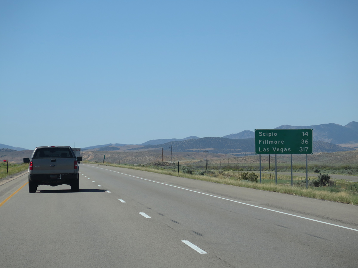
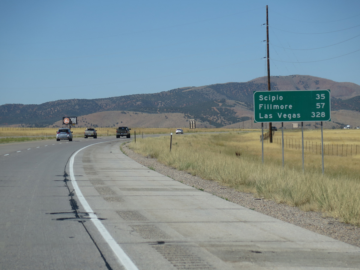
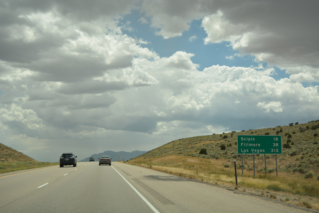
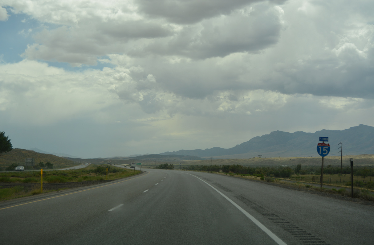
The succeeding exit beyond Yuba Lake Park is at the town of Scipio, 14 miles ahead.
08/12/16
08/12/16
Old U.S. 91 runs along the west side of Interstate 15 south from Mills Valley.
07/03/16
07/03/16
08/25/14
07/03/16
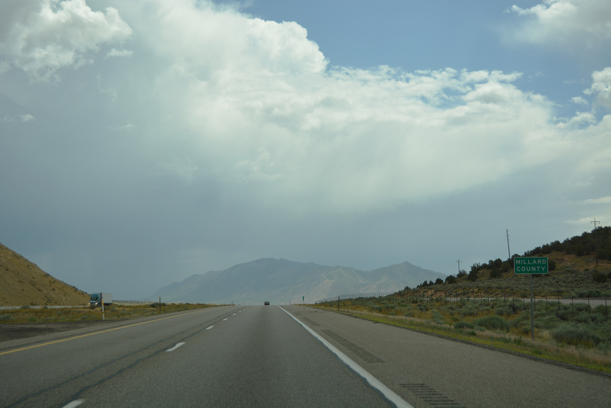
Crossing the Low Hills, Interstate 15 south enters Millard County. The county was named for Millard Fillmore, 13th President of the United States.
07/03/16
07/03/16
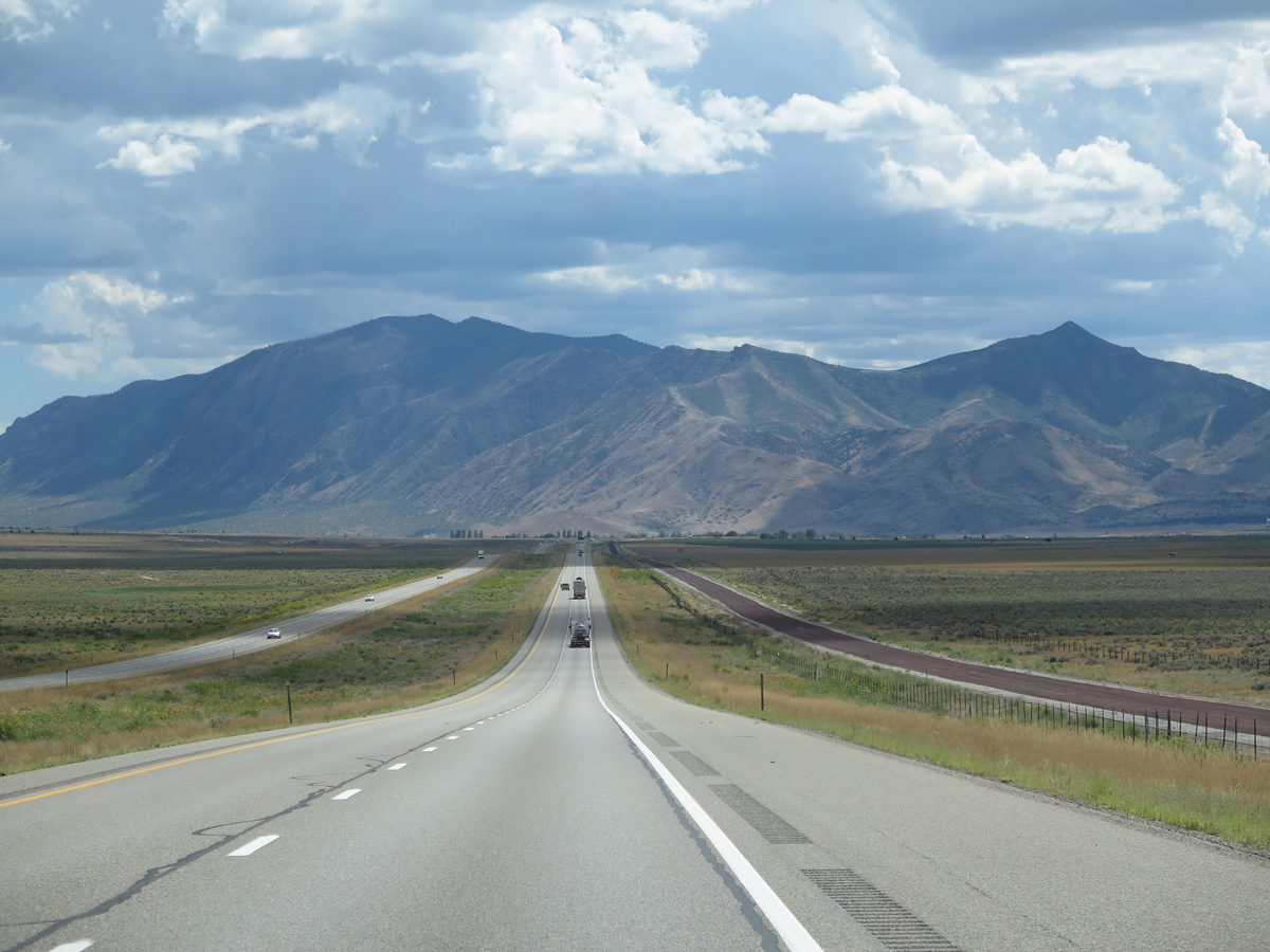
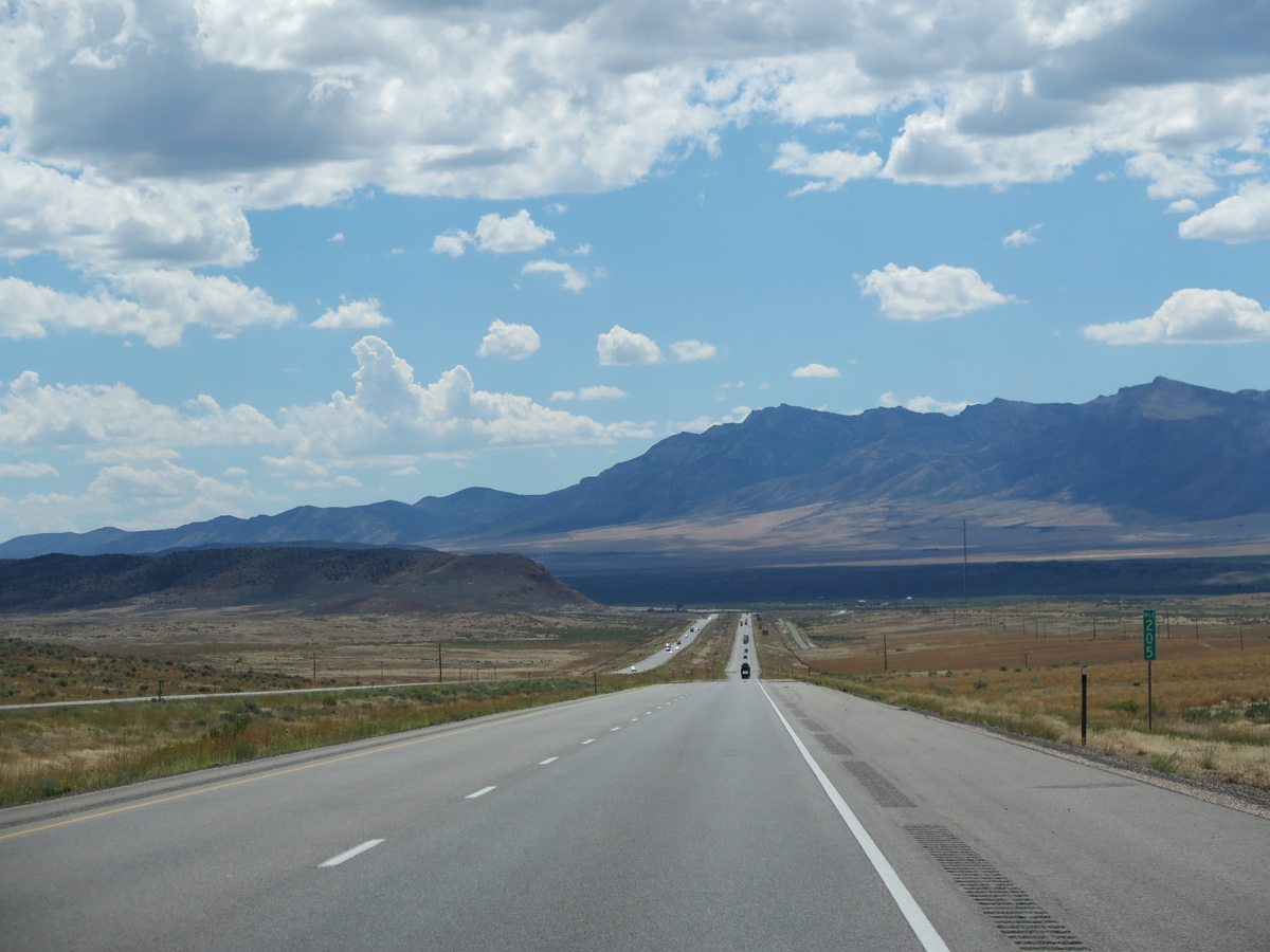
Lowering into Scipio Valley, Interstate 15 advances south toward the Pahvant Range.
08/25/14
08/25/14
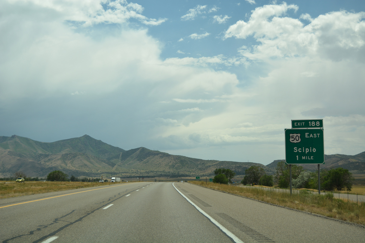
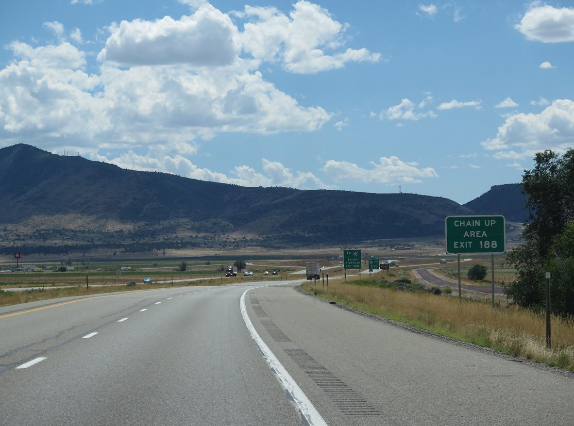
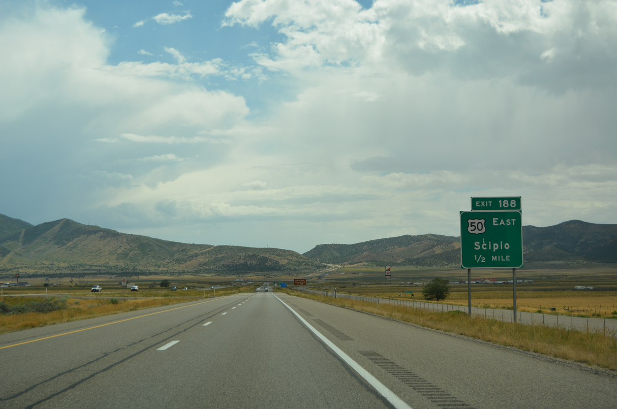
U.S. 50 combines with I-15 southwest from a diamond interchange (Exit 188) with 800 West in the Scipio town limits.
07/03/16
07/03/16
08/25/14
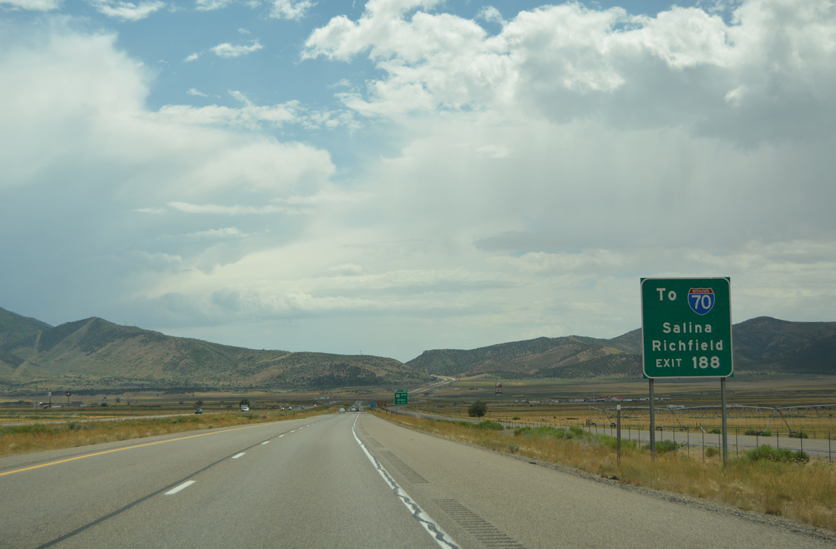
U.S. 50 south through Round Valley and east to Salina provides a cut off from I-15 south to Interstate 70 east for Richland, Grand Junction and Denver, Colorado.
07/03/16
07/03/16
With the opening of the initial two lane section of I-70 between Salina and Green River in 1976, U.S. 50 was relocated off of U.S. 6 over SR 26 between Delta and Scipio, and in place of SR 63 between Scipio and Salina. The remainder overlaps with I-70 east to Colorado.
07/03/16
07/03/16
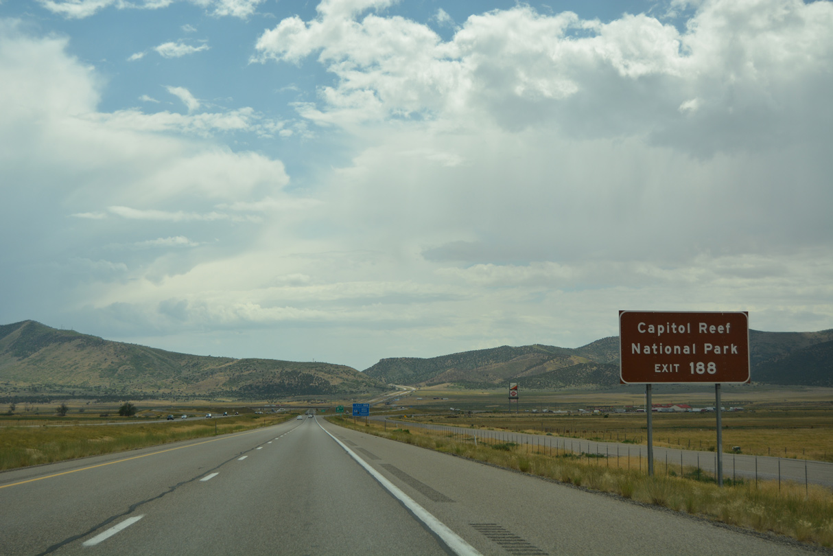
Several national parks are located close to I-70/U.S. 50 corridor. Capitol Reef National Park is located along SR 24, which begins at U.S. 50 near Salina. Further east, I-70/U.S. 50 link with U.S. 191 to Arches National Park and Canyonlands National Park, both near Moab.
07/03/16
07/03/16
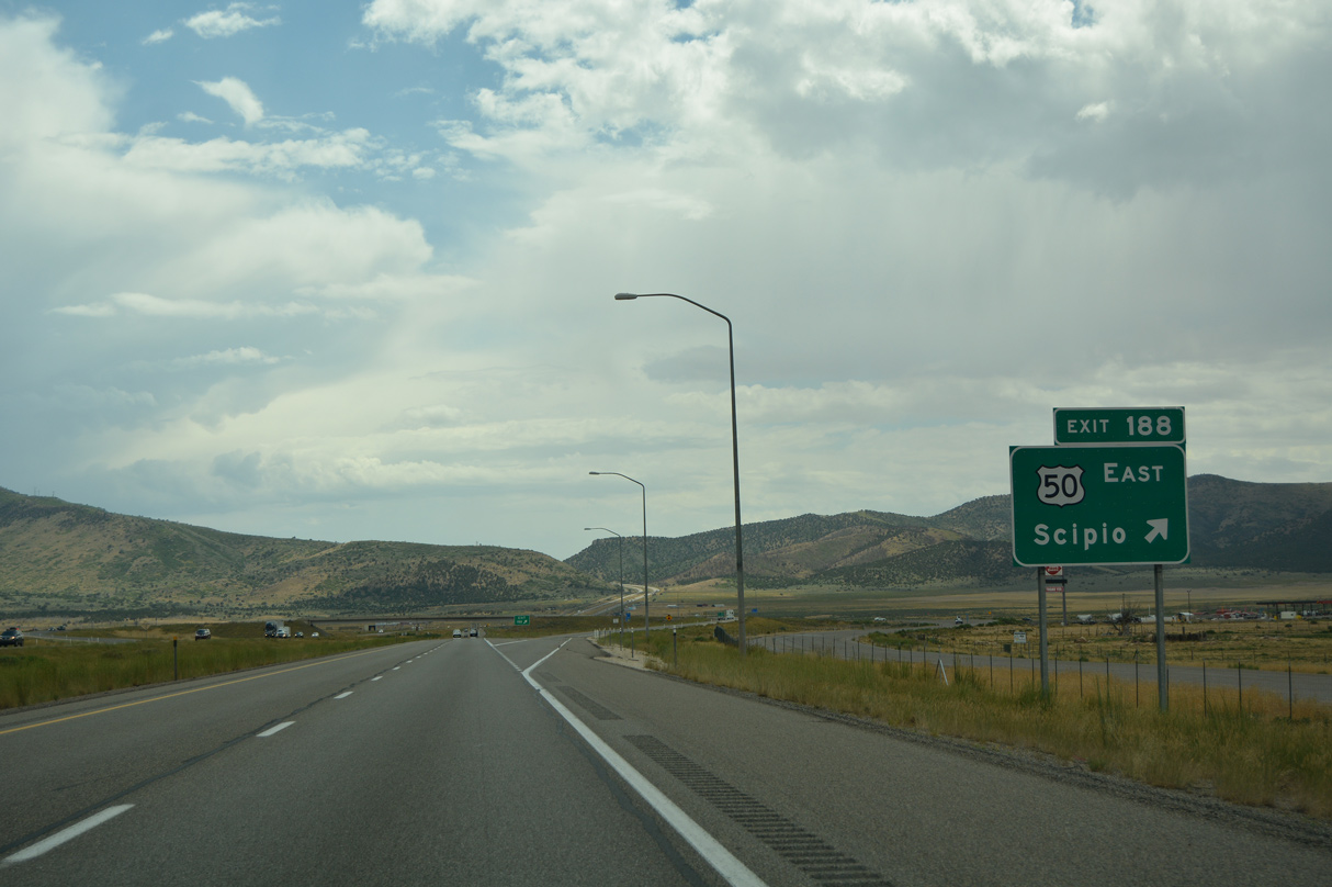
U.S. 50 follows 400 North east from Exit 188 to State Street (old U.S. 91) south though the Scipio business district. East of Salina, I-70/U.S. 50 overlap to Grand Junction, where U.S. 50 shifts south to Montrose and Pueblo, Colorado.
07/03/16
07/03/16

Photo Credits:
- Alex Nitzman: 07/03/16
- Andy Field: 08/25/14, 08/12/16
Connect with:
Page Updated Friday February 18, 2022.