
Interstate 29

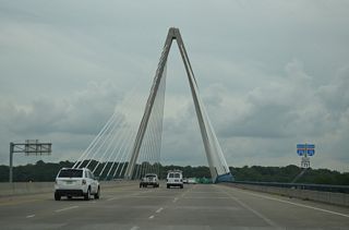
I-29/435-U.S. 71 at Mexico City Avenue to the north of Kansas City International Airport (MCI) in Kansas City, Missouri. - 10/07/2021
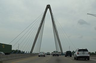
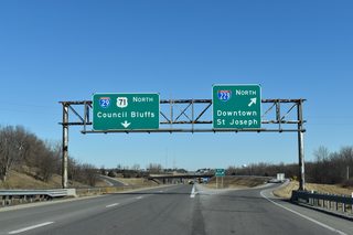
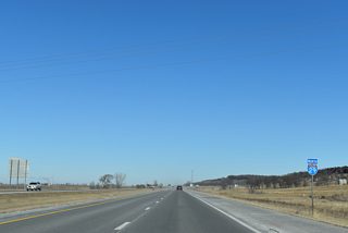
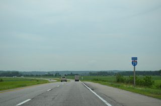
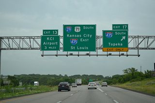
Interstate 29 originates in Downtown Kansas City amid the Alphabet Loop of I-35, I-70 and I-670 encircling the central business district. The 131 mile route through northwestern Missouri generally parallels the Missouri River as it separates the Show Me State from Kansas and Nebraska to the west. I-29 forms a international trade corridor north from Kansas City and Omaha to Winnipeg, Manitoba, and as such, trucks favor the route north to Council Bluffs, Iowa. The freeway also serves the city of St. Joseph midway between KC and the Iowa state line at Hamburg, with an urban loop (I-229) connecting I-29 with its Downtown and neighboring Elwood, Kansas.
Interstate 29 Missouri Guides
North
I-29/35 - Kansas City - 58 photos
Kansas City to Platte City - 70 photos
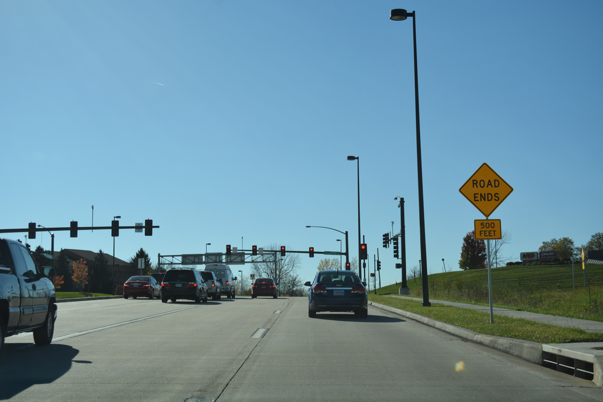
St. Joseph - 49 photos
Mound City to Iowa - 41 photos
South
Iowa to Mound City - 52 photos
St. Joseph - 46 photos
Platte City to Kansas City - 78 photos
South - I-29/35 - Kansas City - 62 photos
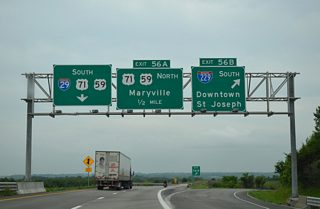
U.S. 71 overlaps with Interstate 29 north from Kansas City to the St. Joseph area. U.S. 59 takes over from there to Craig while either running in tandem with the freeway or traveling nearby. The southern 5.5 mile section of I-29 overlaps with Interstate 35 to provide route continuity to I-70. Historically this section extended further, making up both the north and west legs of the Alphabet Loop until that section was truncated in 1975.
The Paseo Bridge, a suspension bridge spanning the Missouri River north of Downtown Kansas City, opened to traffic in 1954. It connected with the North Midtown Freeway, which initially opened in 1955. Construction of the remaining portion of I-29 through Kansas City was completed in 1970, with the last phase opened between Platte Woods and construction site of Kansas City International Airport (MCI). The airport was finished in 1972.1
 scenes
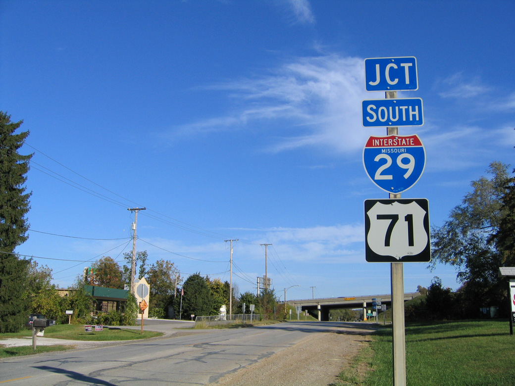
Route AA (Waukomis Drive) north at the half diamond interchange (Exit 3A) with I-29/U.S. 71 in the city of Northmoor.
10/17/04
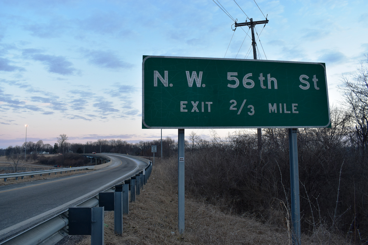
A wye interchange joins NW Gateway Avenue from the city of Riverside with I-29/U.S. 71 northbound ahead of NW 56th Street.
02/23/20
Gateway Avenue north from U.S. 69 (Vivion Road) to I-29/U.S. 71 was formerly Route A.
02/23/20
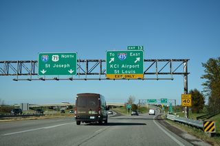
NW 112th Street westbound at I-29/U.S. 71 by Kansas City International Airport (MCI).
11/03/16

Prairie View Road runs along the west side of I-29/U.S. 71 from MCI Airport south to Missouri Route 152. The frontage road swings outward at Tiffany Springs Parkway, which connects the freeway at Exit 10.
06/18/15
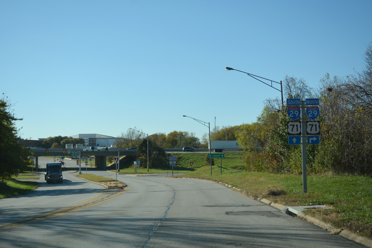
Main Street leads east from the Platte City center to becomes Highway HH at Prairie View Road (old U.S. 71) and a modified diamond interchange with I-29/U.S. 71.
06/18/15
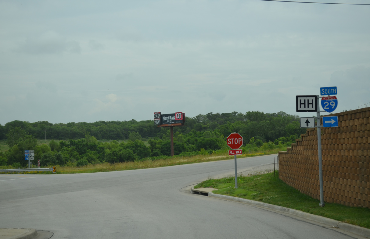
Prairie View Road leads south from Highway HH and Main Street in Platte City to separate into single lane ramps for I-29 south and Route 92 (Branch Street).
06/18/15

Route DD dog legs a half mile north along 45th Road SE before turning west through a diamond interchange with I-29/U.S. 71 outside Faucett in Buchanan County.
11/03/16
Route 6 (Frederick Avenue) meets I-29/U.S. 71 east of a commercial area anchored by East Hills Mall.
11/03/03
Entering the diamond interchange with I-29/U.S. 71 on Route 6 (Frederick Avenue) in St. Joseph.
11/03/03
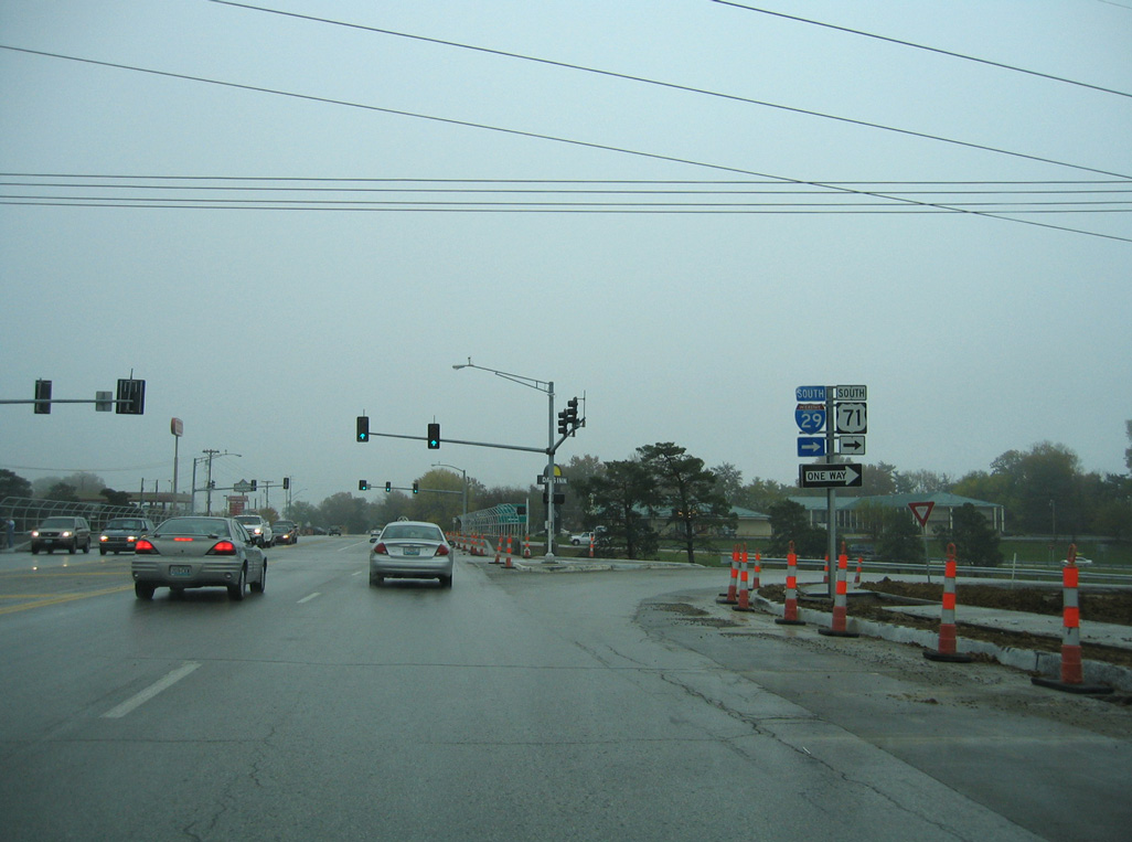
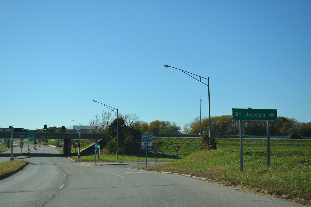
Tiffany Springs Parkway intersects Prairie View Road, the west side frontage road to I-29 through the Northland area in Kansas City, prior to the diverging diamond interchange with the freeway.
11/03/16
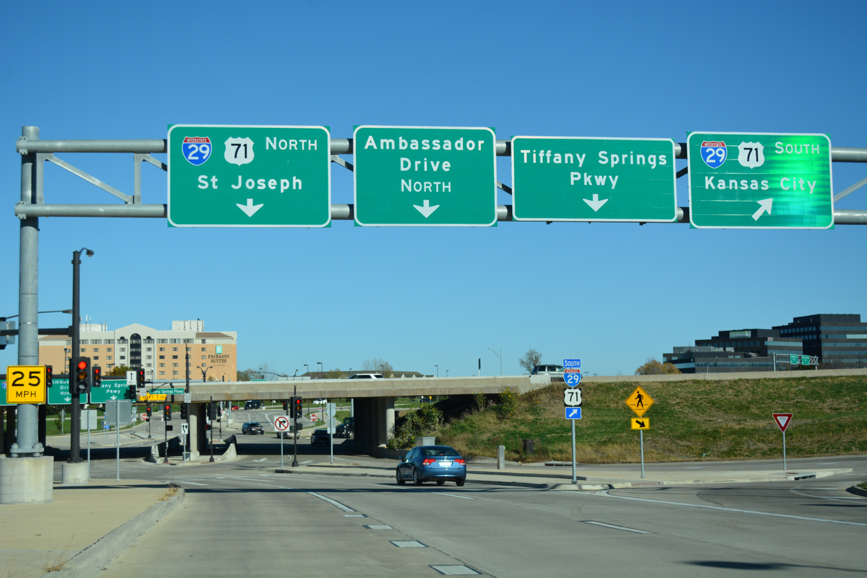
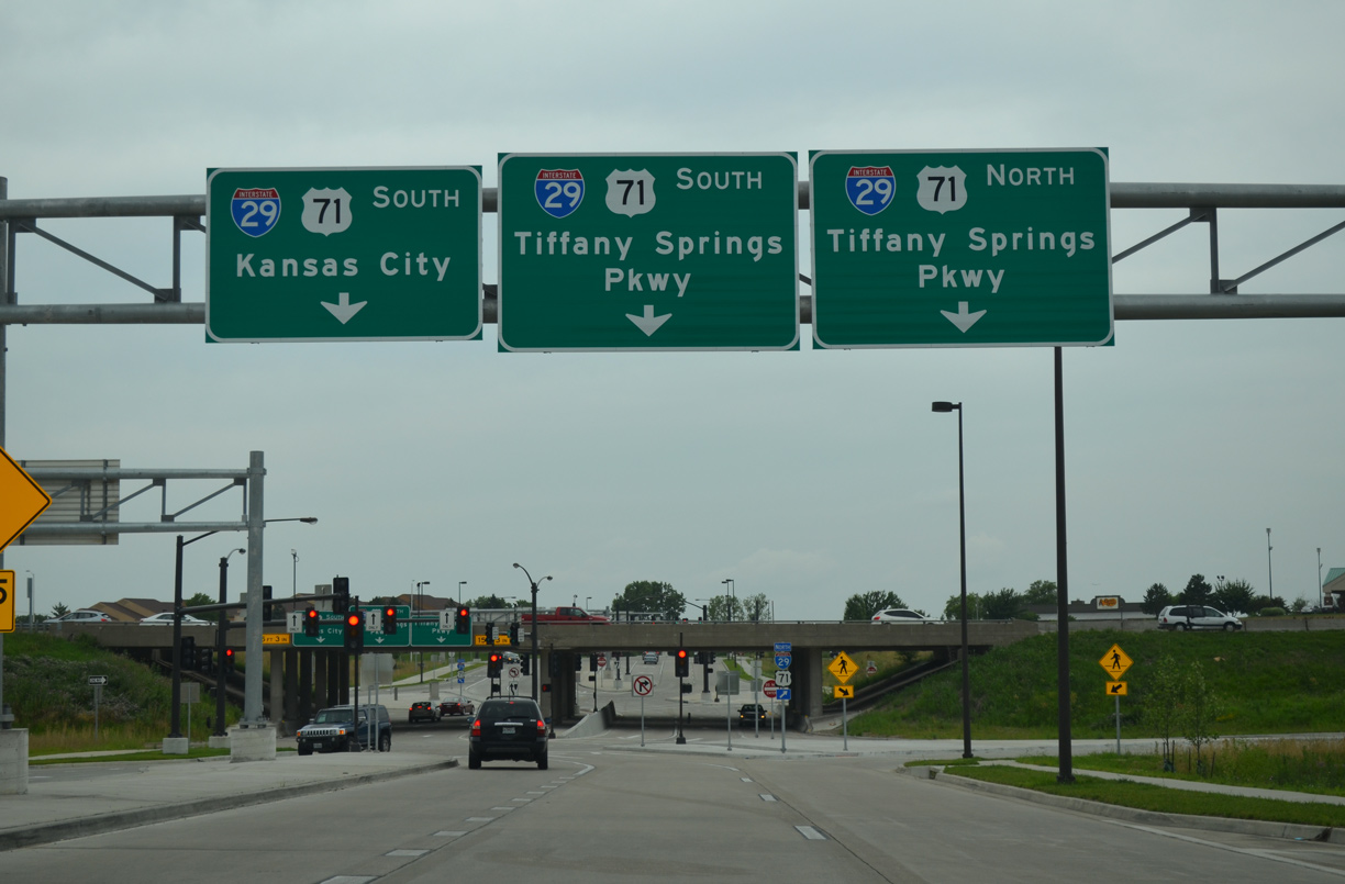
Entering the DDI on Tiffany Springs Parkway east, motorists first depart for I-29/U.S. 71 south toward Downtown Kansas City.
11/03/16
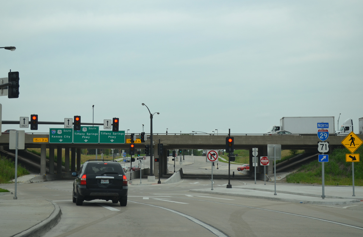
Tiffany Springs Parkway east shifts to the left side at a signalized intersection for the northbound ramp.
06/18/15
11/03/16
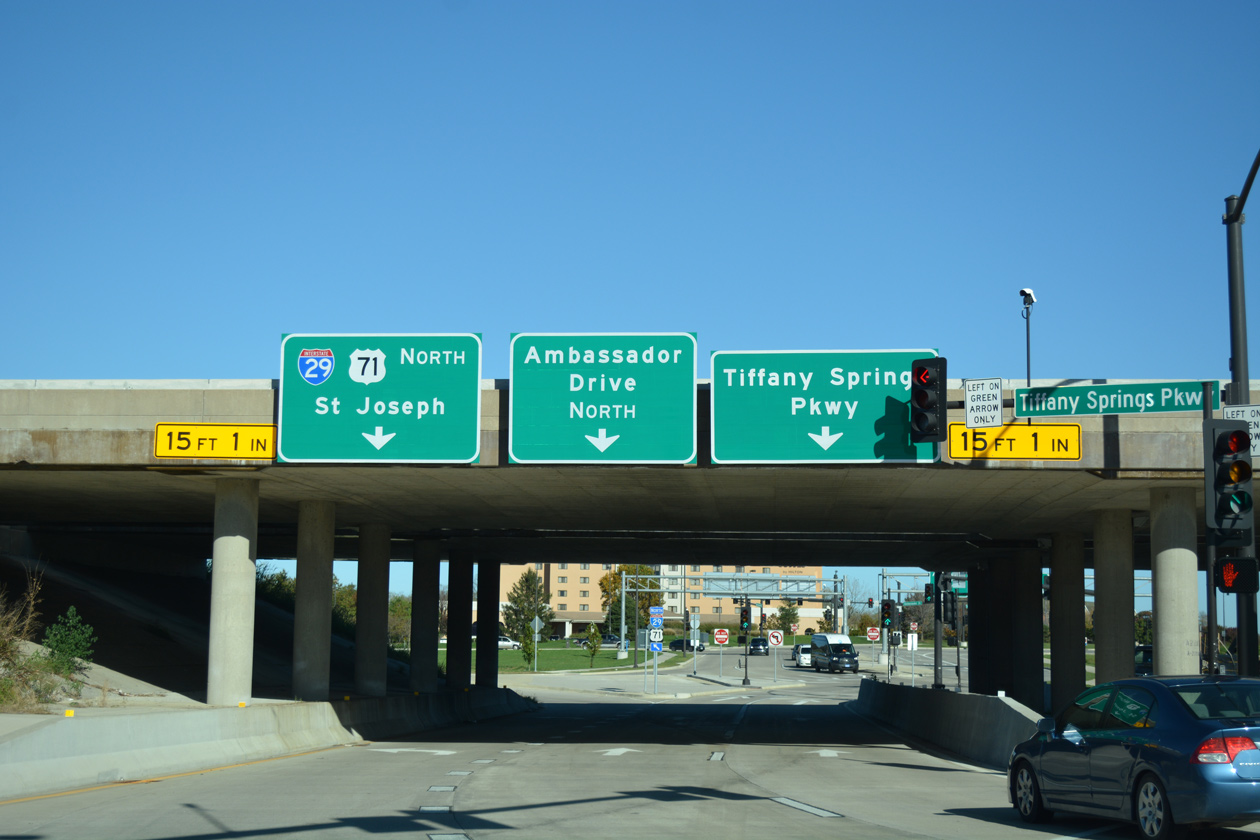
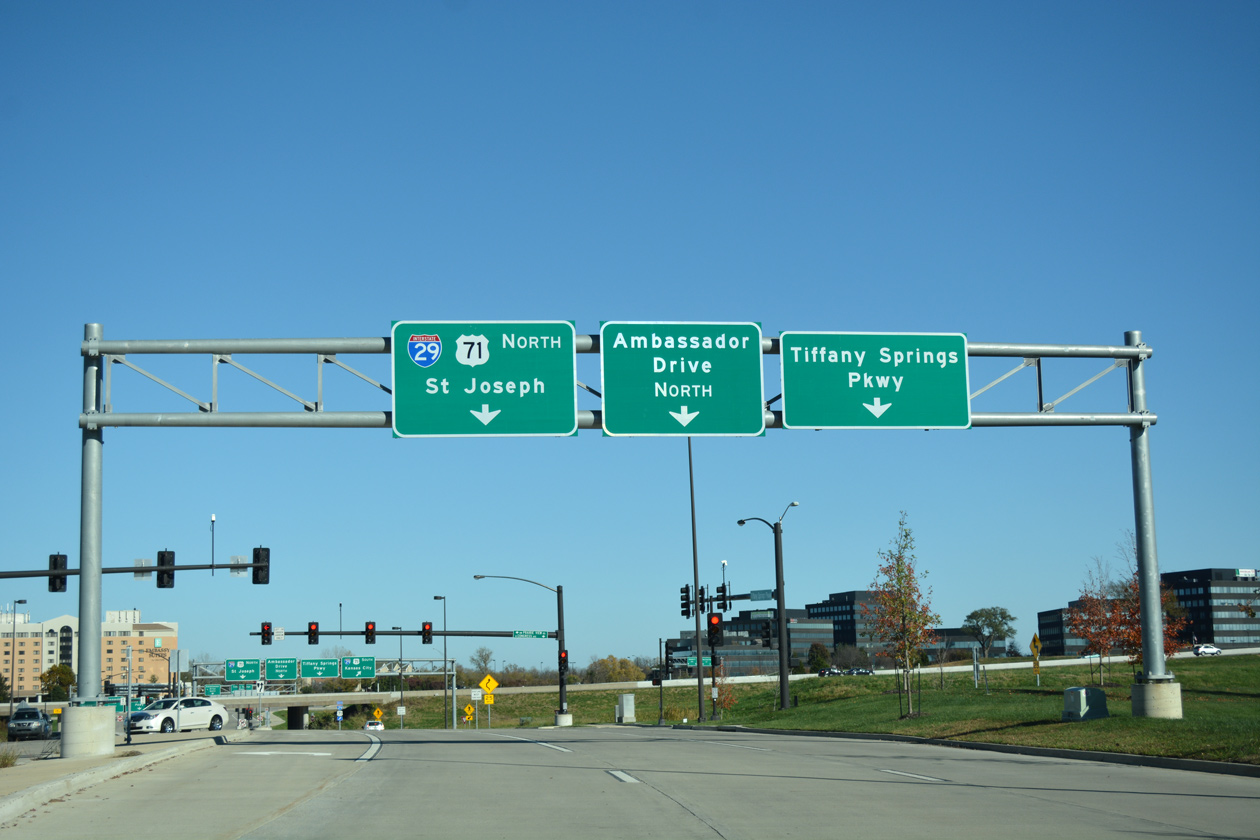
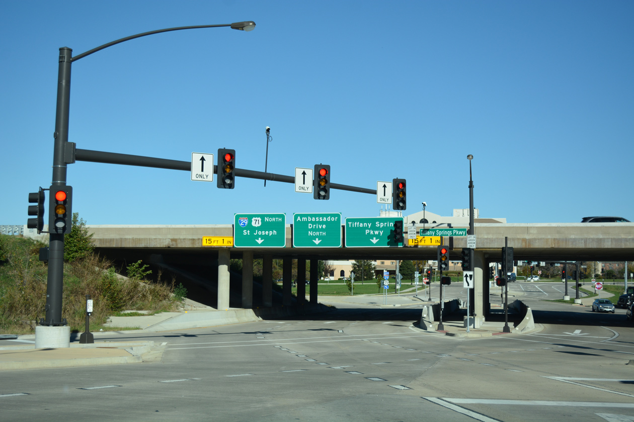
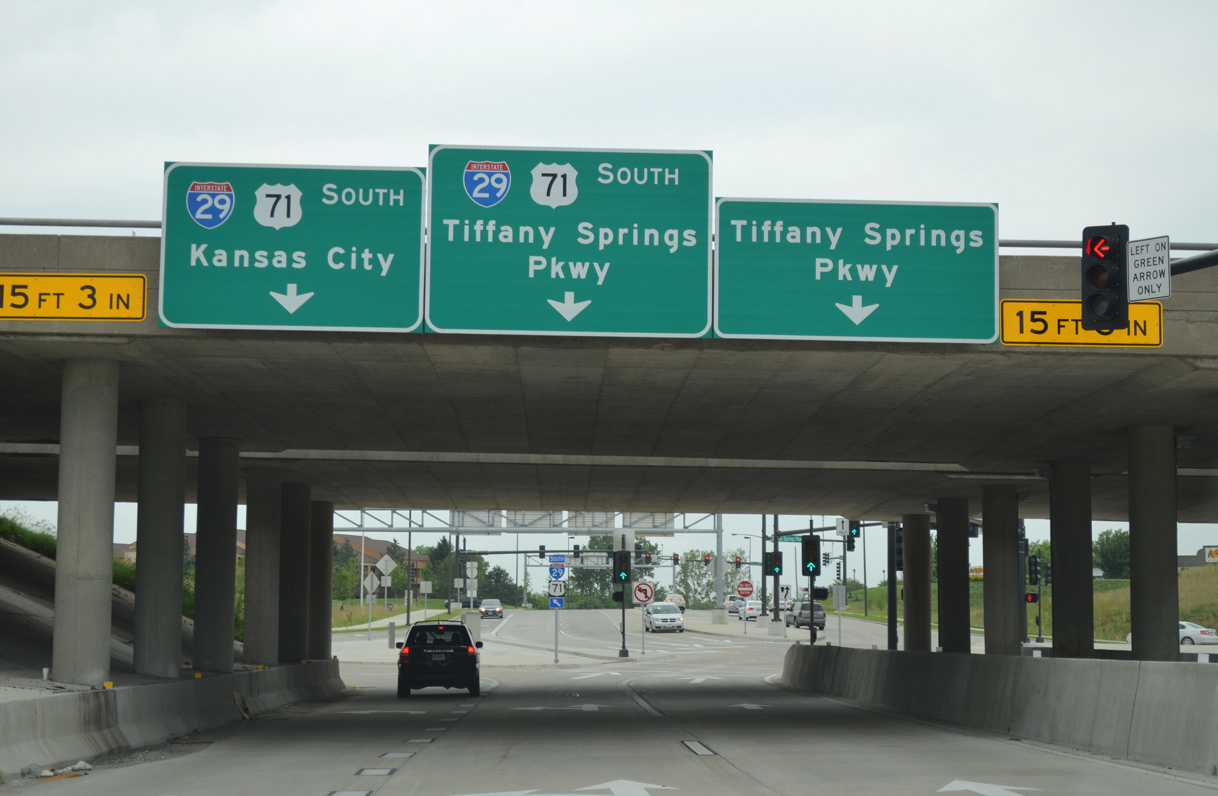
Passing under I-29, signs partition traffic to the freeway north to St. Joseph and the adjacent intersection with Ambassador Drive.
11/03/16

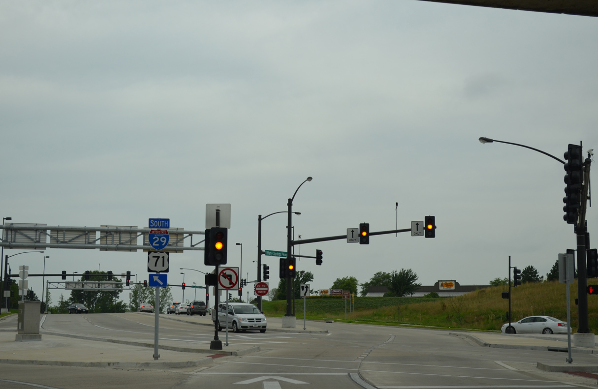
Drivers along eastbound enter a second signalized intersection as Tiffany Springs Parkway exits the I-29 DDI.
11/03/16
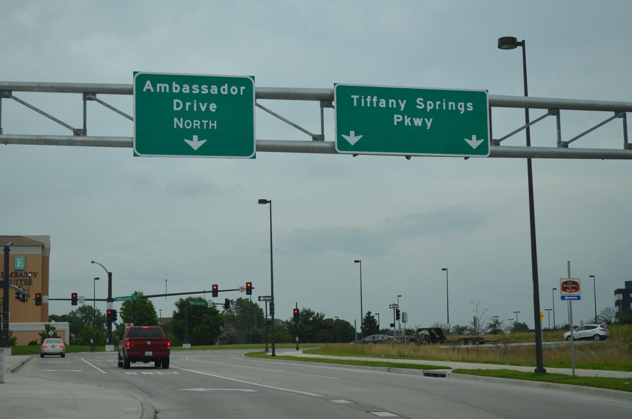
Tiffany Springs Parkway links Interstate 29 with Ambassador Drive north to Airworld Center Business Park and Congress Avenue.
06/18/15
Tiffany Springs Parkway west enters the DDI with I-29/U.S. 71 between Ambassador Drive and Prairie View Road.
06/18/15
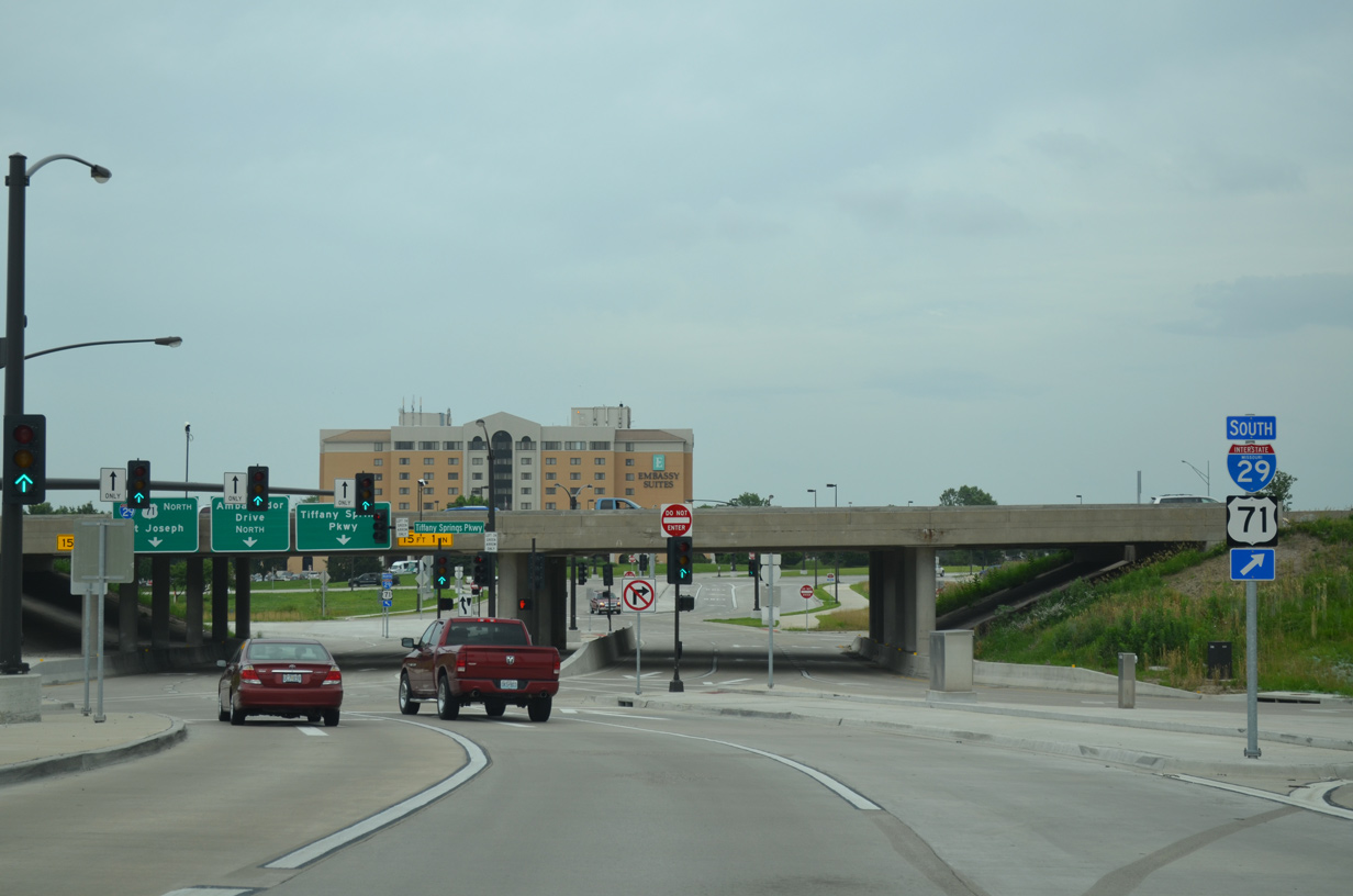
A right turn takes motorists onto Interstate 29/U.S. 71 north to MCI Airport and St. Joseph as Tiffany Springs Parkway west shifts to the left.
06/18/15
Two lanes turn left from Tiffany Springs Parkway for the final miles of Interstate 29 leading south to the Alphabet Loop in Downtown Kansas City.
06/18/15
The remaining two lanes of Tiffany Springs Parkway west return to the right side of eastbound as the parkway leaves the DDI with I-29.
06/18/15
Tiffany Springs Parkway intersects NW Prairieview View Road ahead of a dead end between two businesses.
11/03/16
References:
- "KC, north, booms at last - With KCI, growth figured to follow, but - leaders had not planned on it taking so long - Success means - opportunity elsewhere in city." Kansas City Star, The (MO), October 1, 2000.
Photo Credits:
- AARoads: 10/17/04
- Brent Ivy: 02/23/20
- Alex Nitzman: 11/03/16
- ABRoads: 06/18/15
- Justin Cozart: 11/03/03
Connect with:
Page Updated Friday October 22, 2021.