
Interstate 35

Interstate 35/Route 110 (CKC) north of Business Loop I-35/Route BB in Cameron. - 06/19/2015

Route 110 (CKC) combines with I-35 south from U.S. 36 through the east side of Cameron. - 06/19/2015
Interstate 35 angles through northwestern Missouri for 114.44 miles from Kansas City to the Iowa state line north of Eagleville. The freeway forms the west and north legs of the Alphabet Loop, an urban beltway surrounding the Kansas City Central Business District. I-35 overlaps with I-70 on the north leg, and I-29 from the Alphabet Loop northward to the Crestview and Colonial Square neighborhoods beyond North Kansas City.
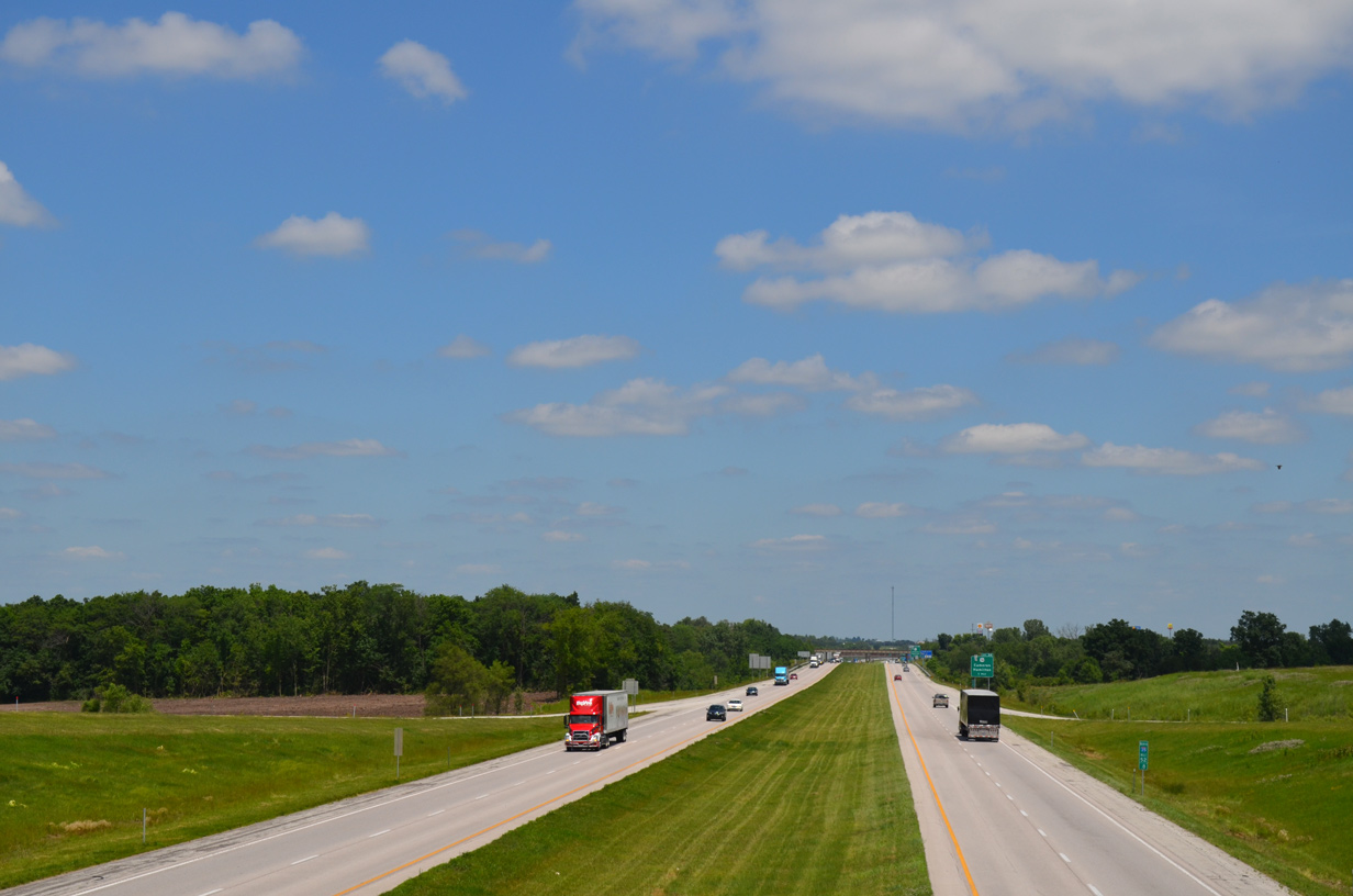
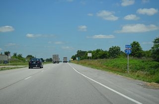
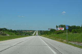
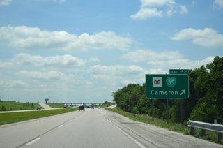
Northeast from the split with I-29/U.S. 71, Interstate 35 parallels or overlaps with U.S. 69 as it leaves Kansas City via Claycomo and Liberty. The two routes cross paths several times from Cameron north to Bethany and Lamoni, Iowa. Additionally Missouri Route 110, the Chicago Kansas City Expressway (CKC), overlaps with I-35 from Interstate 435 at Claycomo to U.S. 36 at Cameron. Reassurance markers along this stretch omit I-35 in favor of the state highway.
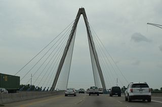
The Paseo Bridge opened as a new alignment of U.S. 69 Alternate and then U.S. 71 across the Missouri River between Downtown and North Kansas City in 1954. Construction on the Midtown Freeway followed, with the first section opened in 1955.1
Interstate 35 Missouri Guides
North - Kansas City - 58 photos
North - Liberty to Cameron - 47 photos
North - Daviess / Harrison Counties - 61 photos
South - Cameron - 8 photos
South - Kansas City - 62 photos
 scenes
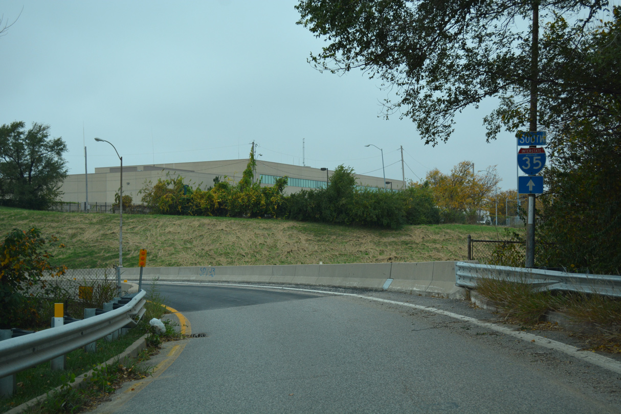
The entrance ramp to Interstate 35 south from W 13th Street at Quality Hill in Kansas City.
10/31/16
References:
- "KC, north, booms at last - With KCI, growth figured to follow, but - leaders had not planned on it taking so long - Success means - opportunity elsewhere in city." Kansas City Star, The (MO), October 1, 2000.
Photo Credits:
- Alex Nitzman, JP Nasiatka: 10/31/16
Connect with:
Page Updated Friday October 22, 2021.