
I-39/U.S. 51 North - Coloma to Stevens Point


 North
North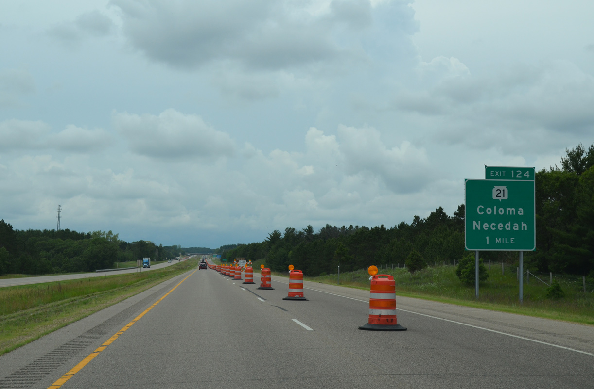
Wis 21 crosses paths with I-39/U.S. 51 at a diamond interchange (Exit 124) in one mile.
06/15/15
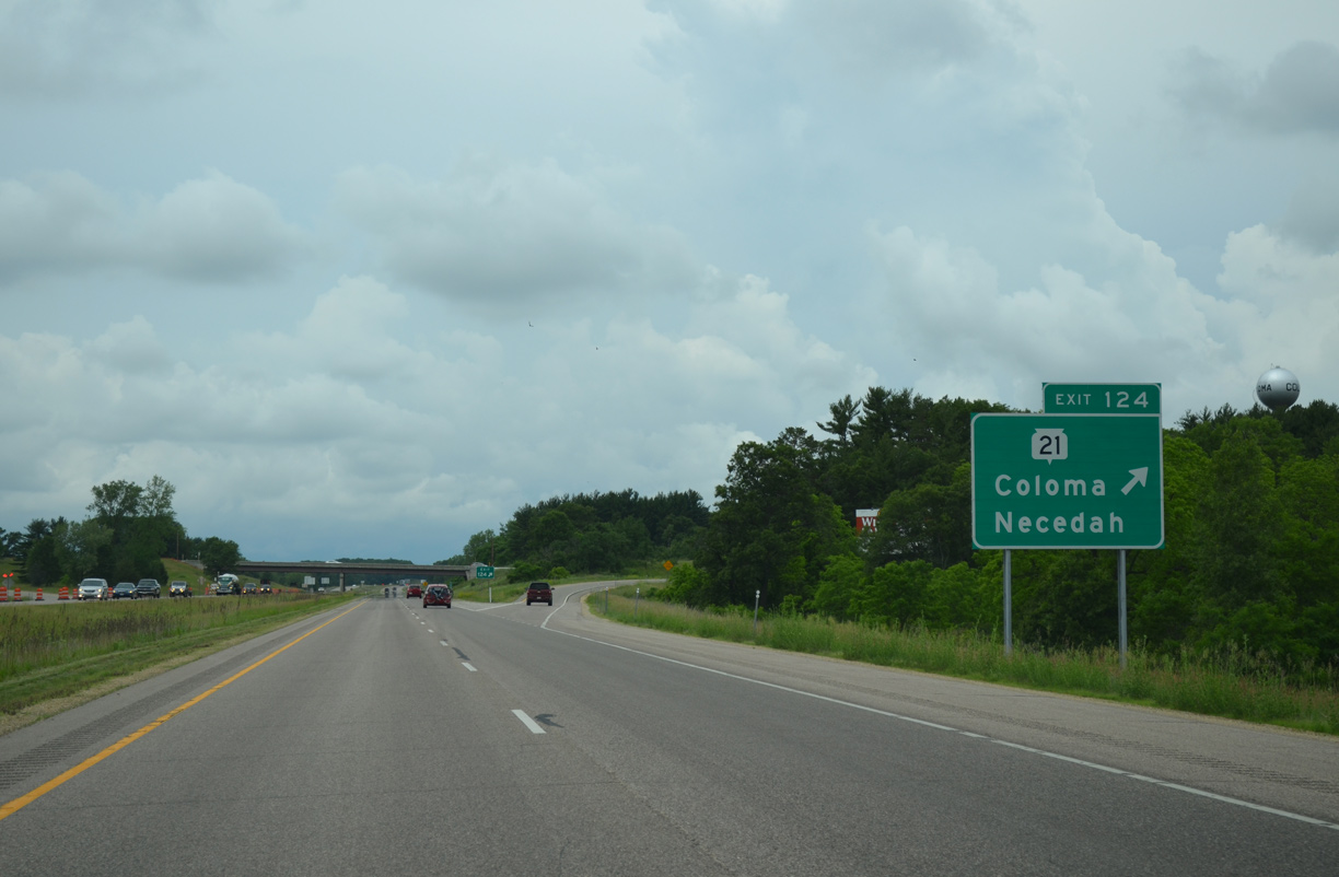
Exit 124 leaves I-39/U.S. 51 north for Wis 21 (Follett Drive) at Coloma. The trunk highway travels 13 miles east to the county seat of Wautoma and 29 miles west to Necedah. STH-21 runs 123 miles overall between Sparta and Oshkosh.
06/15/15
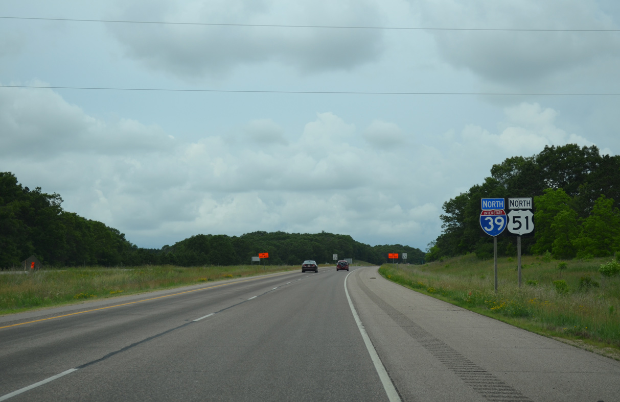
A sweeping curve takes I-39/U.S. 51 northwest from Coloma along a ridge (1,200 feet above sea level) to the Hancock town line.
06/15/15
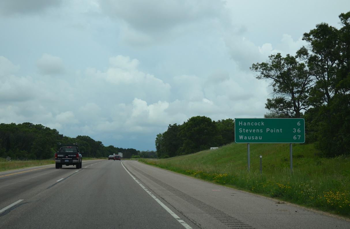
The village of Hancock is next along the freeway in six miles. Stevens Point is now a half hour away.
06/15/15
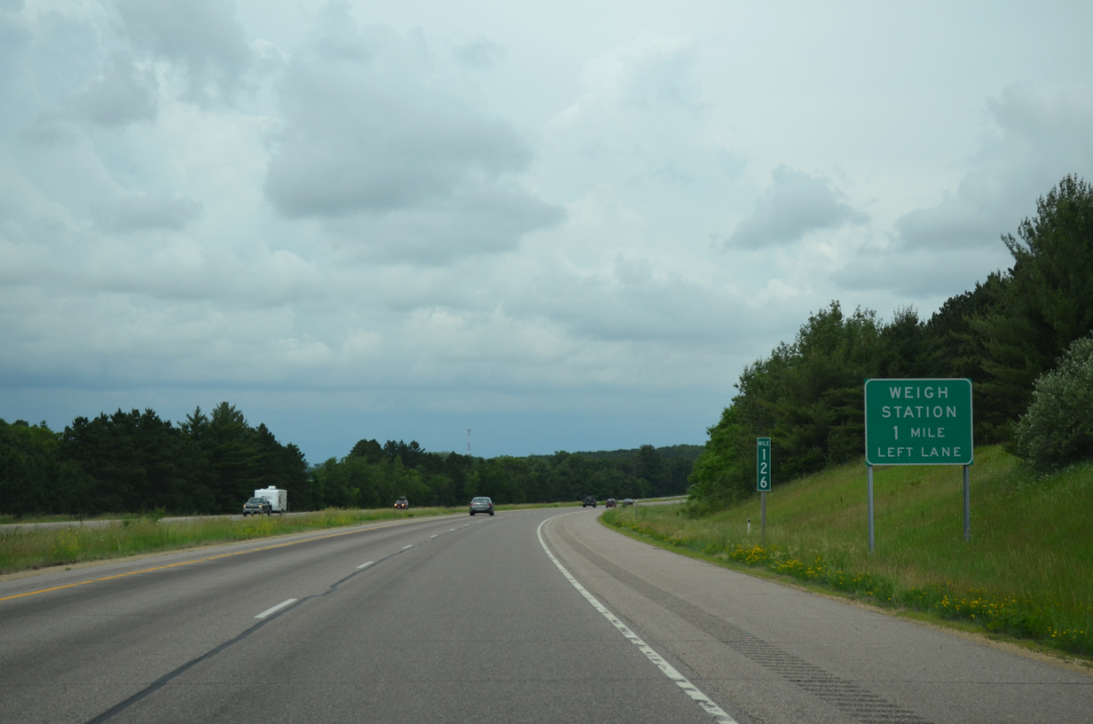
A weigh station lies one mile north of milepost 126 along I-39/U.S. 51.
06/15/15
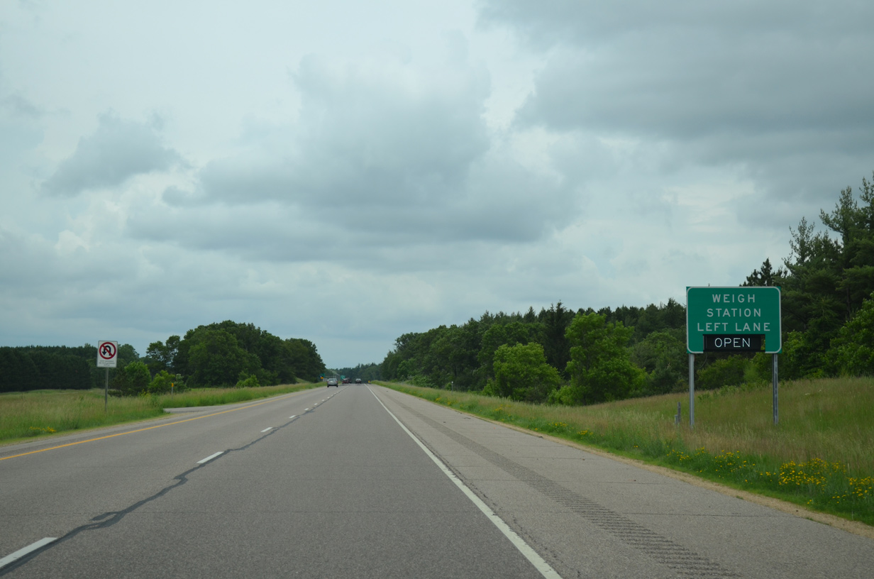
The Waushara County weigh station is a rarity on the Interstate system, as it operates within the freeway median.
06/15/15

Flat farm land spreads to the west as I-39/U.S. 51 progress north toward Hancock.
06/15/15
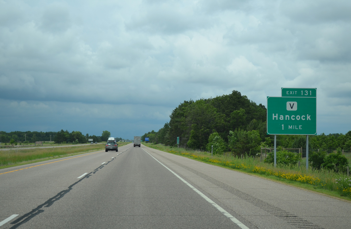
County V angles northeast from Wis 21 on the Adams County line to run alongside I-39/U.S. 51 to Exit 131 in Hancock.
06/15/15
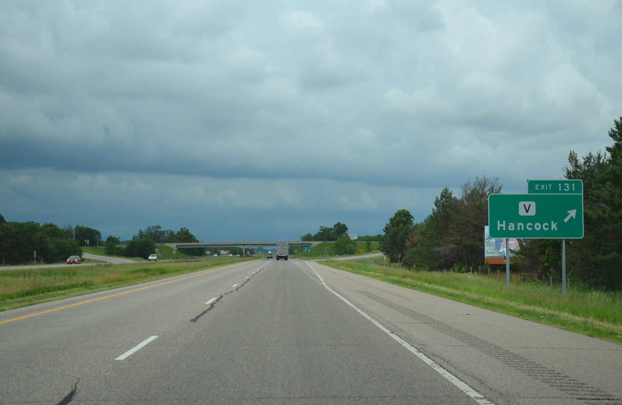
North Lake Street carries CTH-V east from the diamond interchange (Exit 131) with I-39/U.S. 51 through Hancock to Pine Lake.
06/15/15
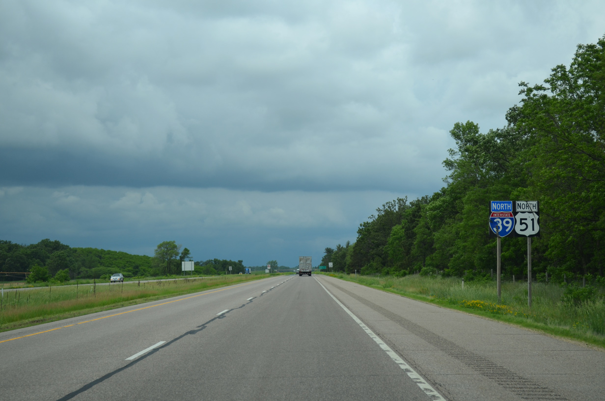
I-39/U.S. 51 advance north from Hancock 1.5 miles to enter the town of Plainfield.
06/15/15

The village of Plainfield is located five miles to the northeast via I-39 and Wis 73 east. The freeway otherwise extends north another 61 miles to Wausau.
06/15/15
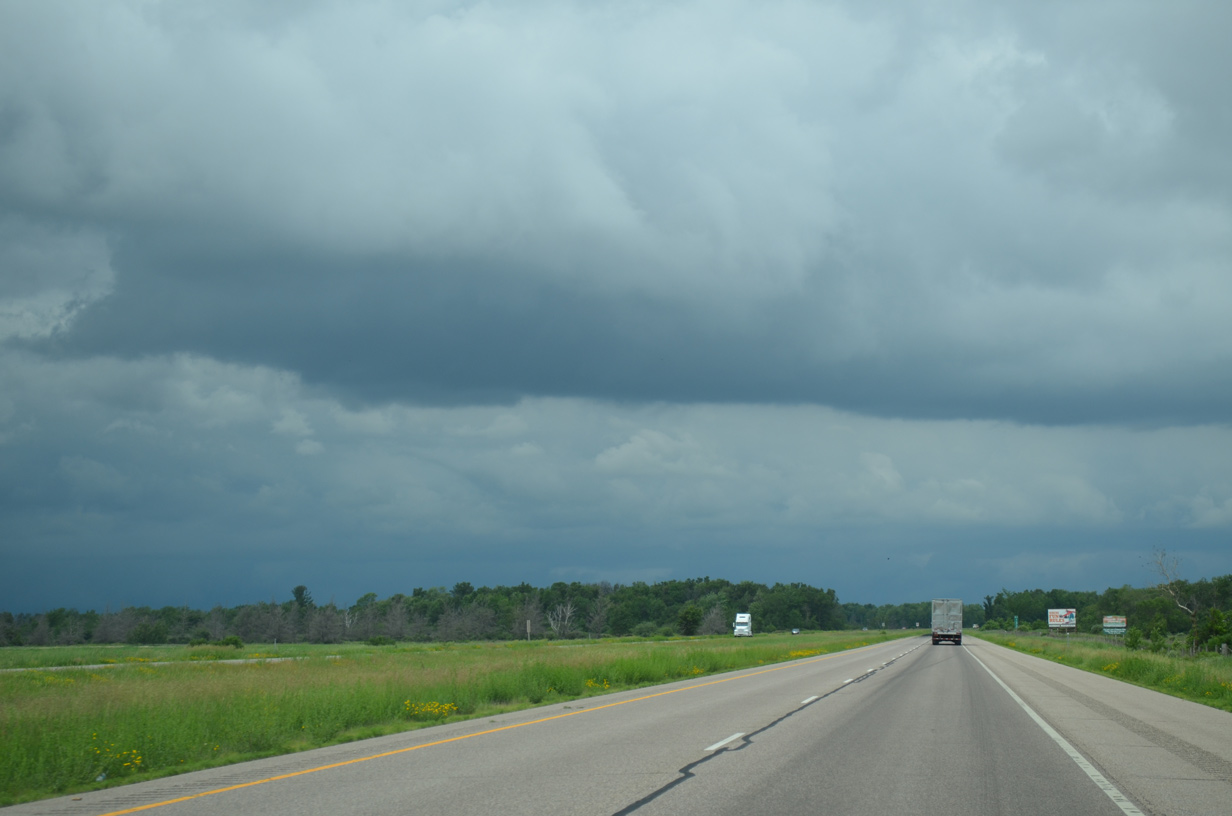
14,100 vehicles per day (vpd) were recorded on this rural stretch of I-39/U.S. 51 in 2014.
06/15/15

Wis 73 travels east-west across I-39/U.S. 51 at a diamond interchange just outside Plainfield. A 265 mile route, Wis 73 previously met Interstate 39 with I-90 and U.S. 51 at Edgerton. The state trunk highway travels north from there to Wautoma, where it turns more westerly to Exit 136.
06/15/15
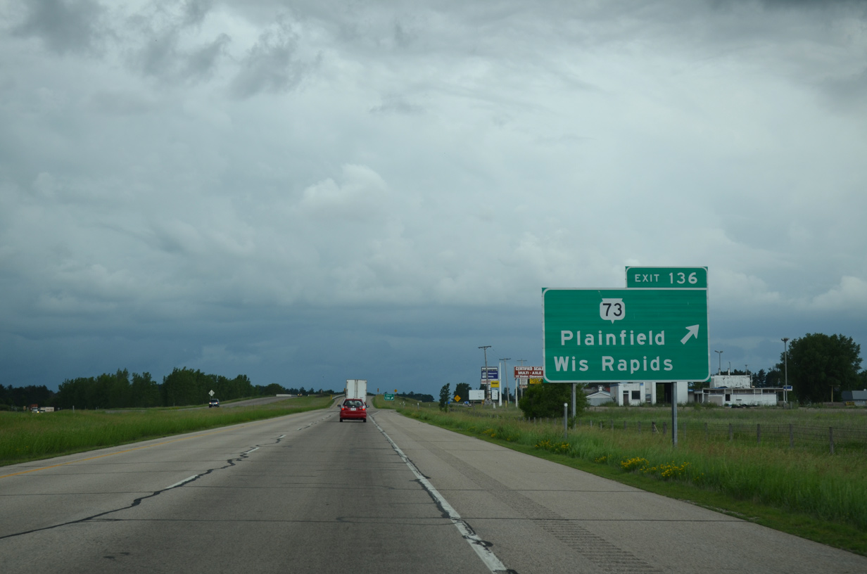
Beyond Exit 136, Wis 73 northbound continues another 13 miles to Wis 13. Wis 13 leads due north to Wisconsin Rapids while Wis 73 takes a circuitous route to the Wood County seat via Nekoosa and Port Edwards along the Wisconsin River.
06/15/15
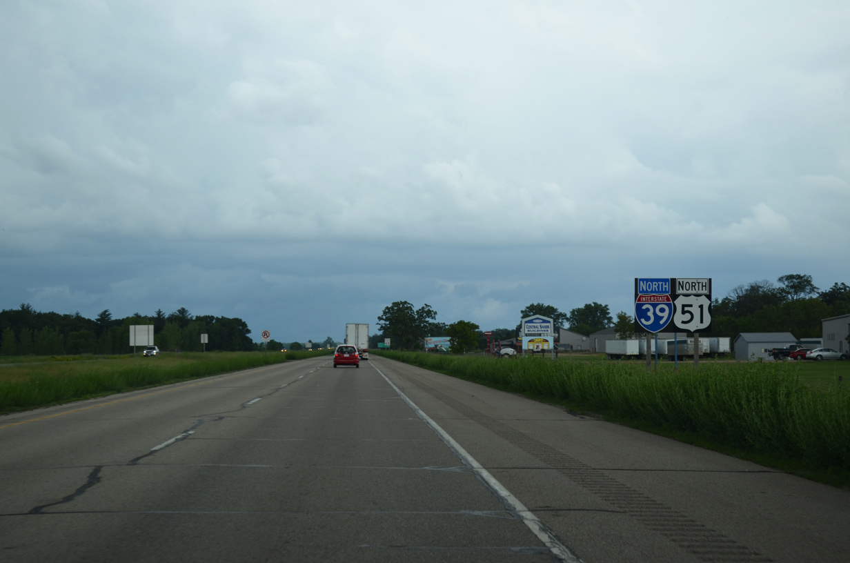
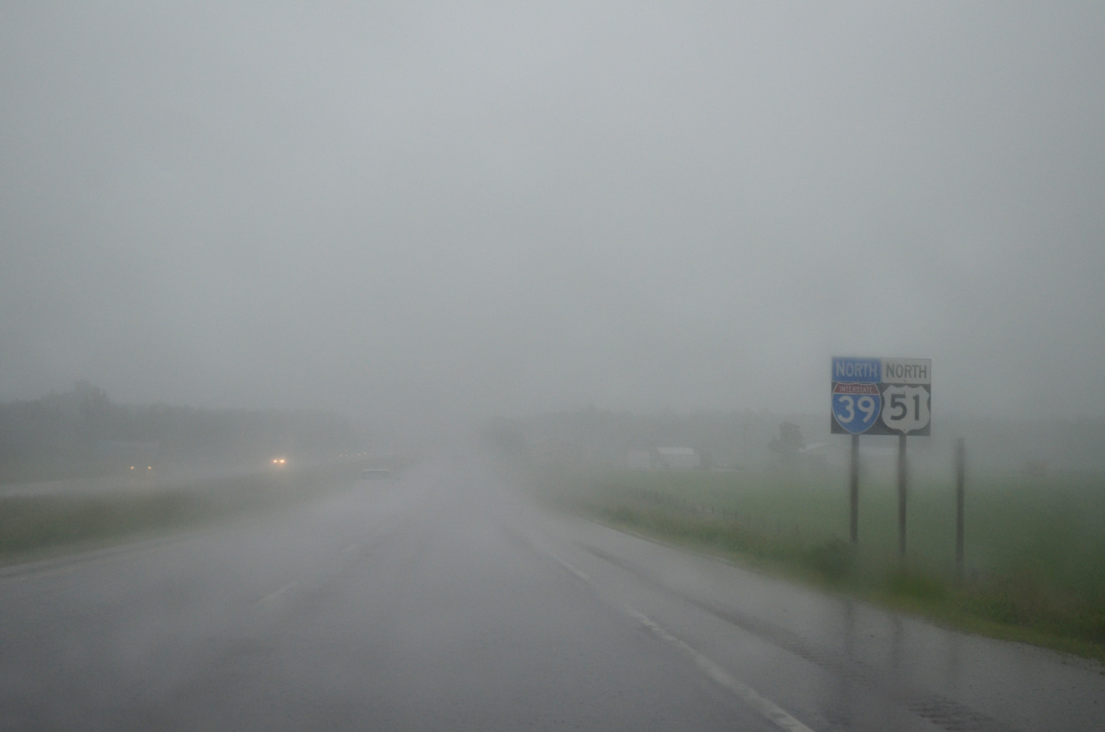
Reassurance markers for I-39/U.S. 51 north posted after Exit 136.
06/15/15
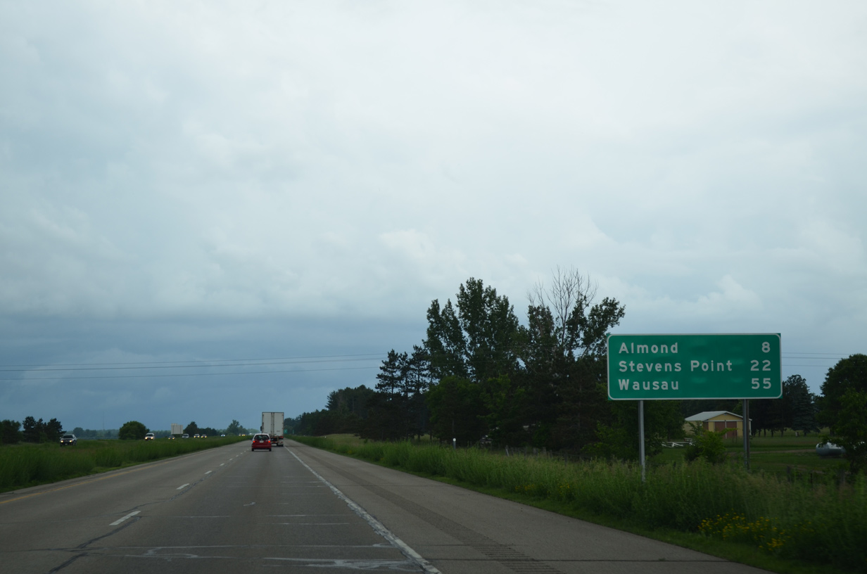
I-39/U.S. 51 travel 22 miles north to Stevens Point and 55 miles to Wausau.
06/15/15
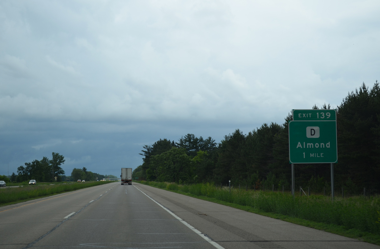
County D leads west five miles from the village of Almond to connect with the freeway at a diamond interchange (Exit 139) in one mile.
06/15/15
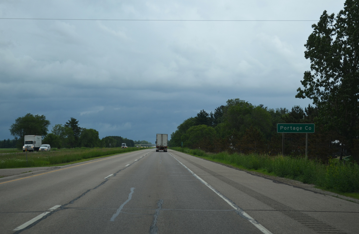
I-39/U.S. 51 commence a 33 mile stretch through Portage County at the town of Pine Grove.
06/15/15

Exit 139 parts ways with I-39/U.S. 51 north for County D. CTH-D ventures west 6.6 miles to end at CTH-F near STH-73. The county trunk highway east forms a long arc east to Almond, Blaine and CTH-J outside Plover.
06/15/15
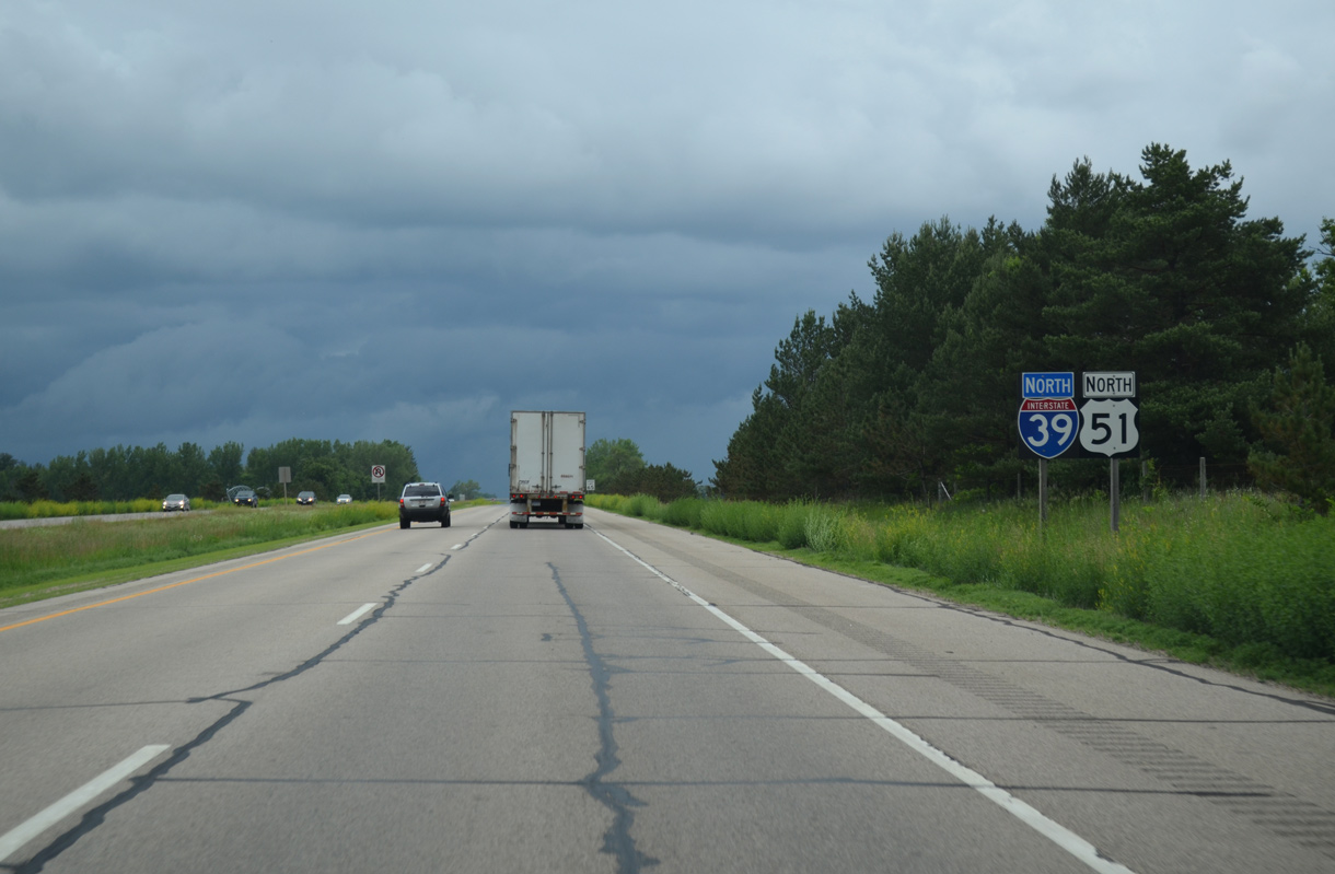
Confirming markers for I-39/U.S. 51 posted beyond the South Branch of Tenmile Creek.
06/15/15
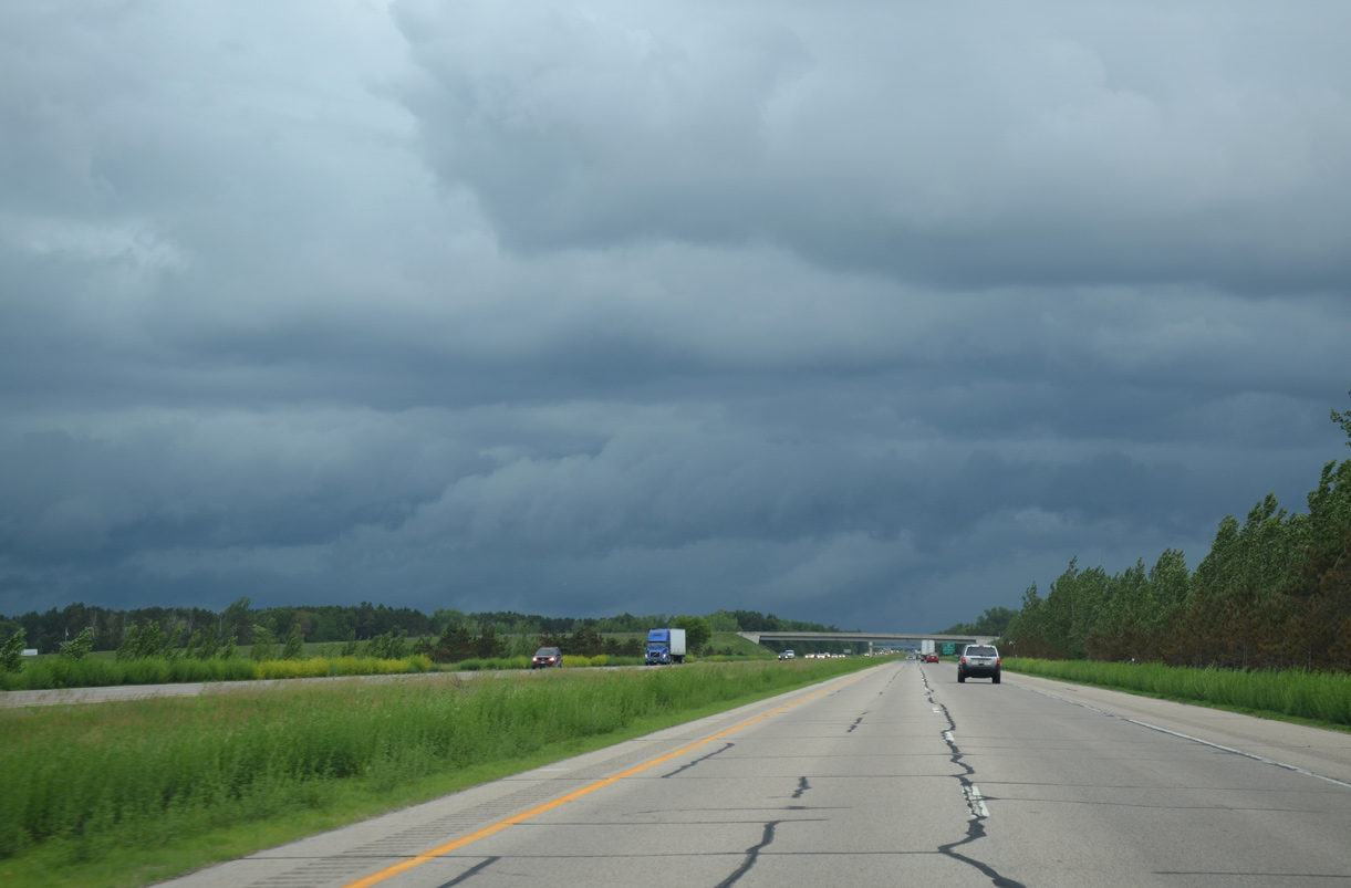
3rd Avenue spans the freeway in the distance as I-39/U.S. 51 travel just west of Mosquito Bluff. The adjacent hills rise to 1,240 feet above sea level.
06/15/15
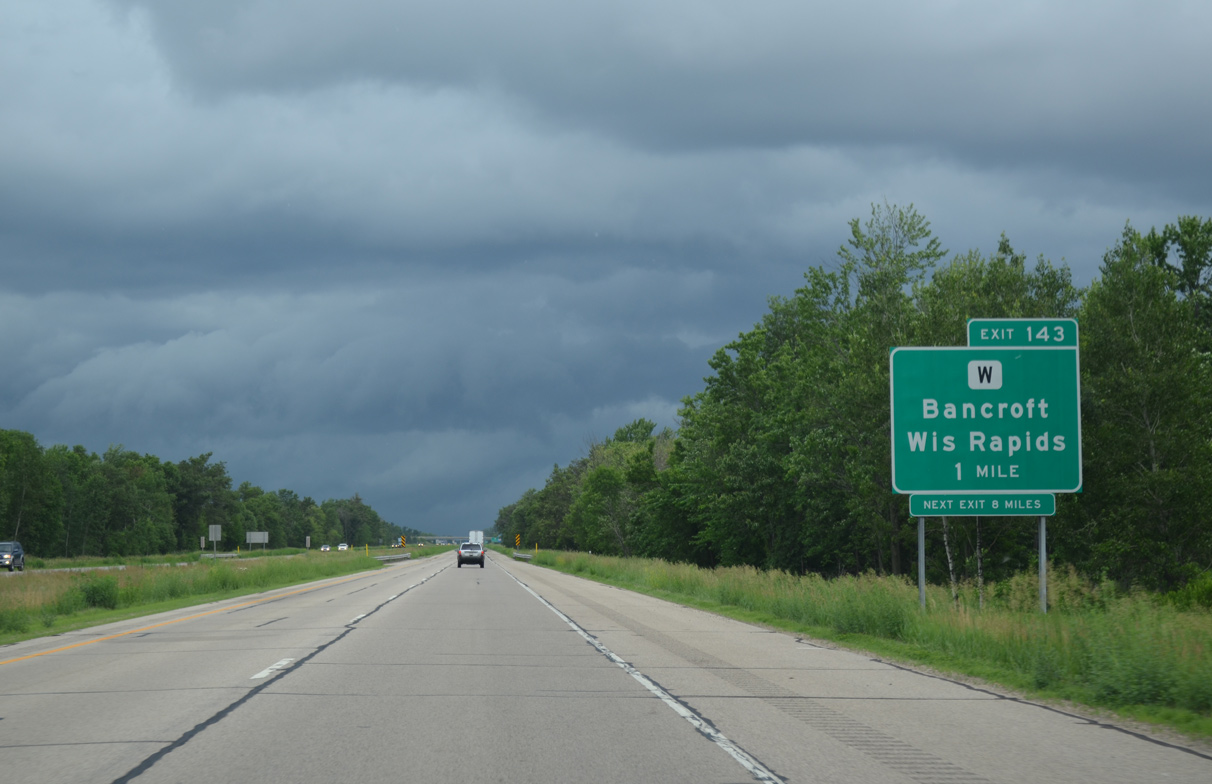
County W stems west from County J, north of Almond, to cross paths with I-39/U.S. 51 at Bancroft in one mile.
06/15/15
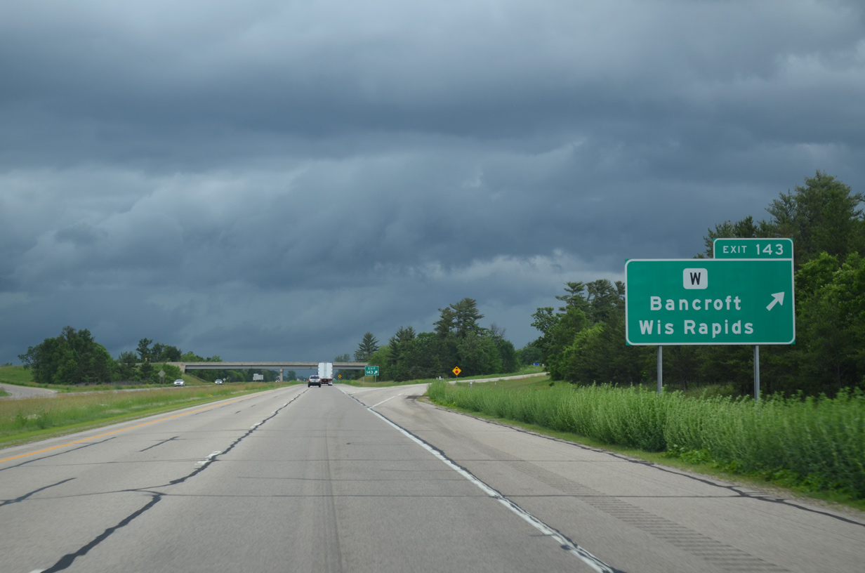
Entering the diamond interchange (Exit 143) with Portage County W (Main Street) on I-39/U.S. 51 north. CTH-W dog legs north two miles before turning west along the Plover town line to CTH-U, seven miles out from the Wisconsin Rapids city center.
06/15/15

I-39/U.S. 51 continue uninterrupted northward 7.8 miles across agricultural areas west of Keene.
06/15/15
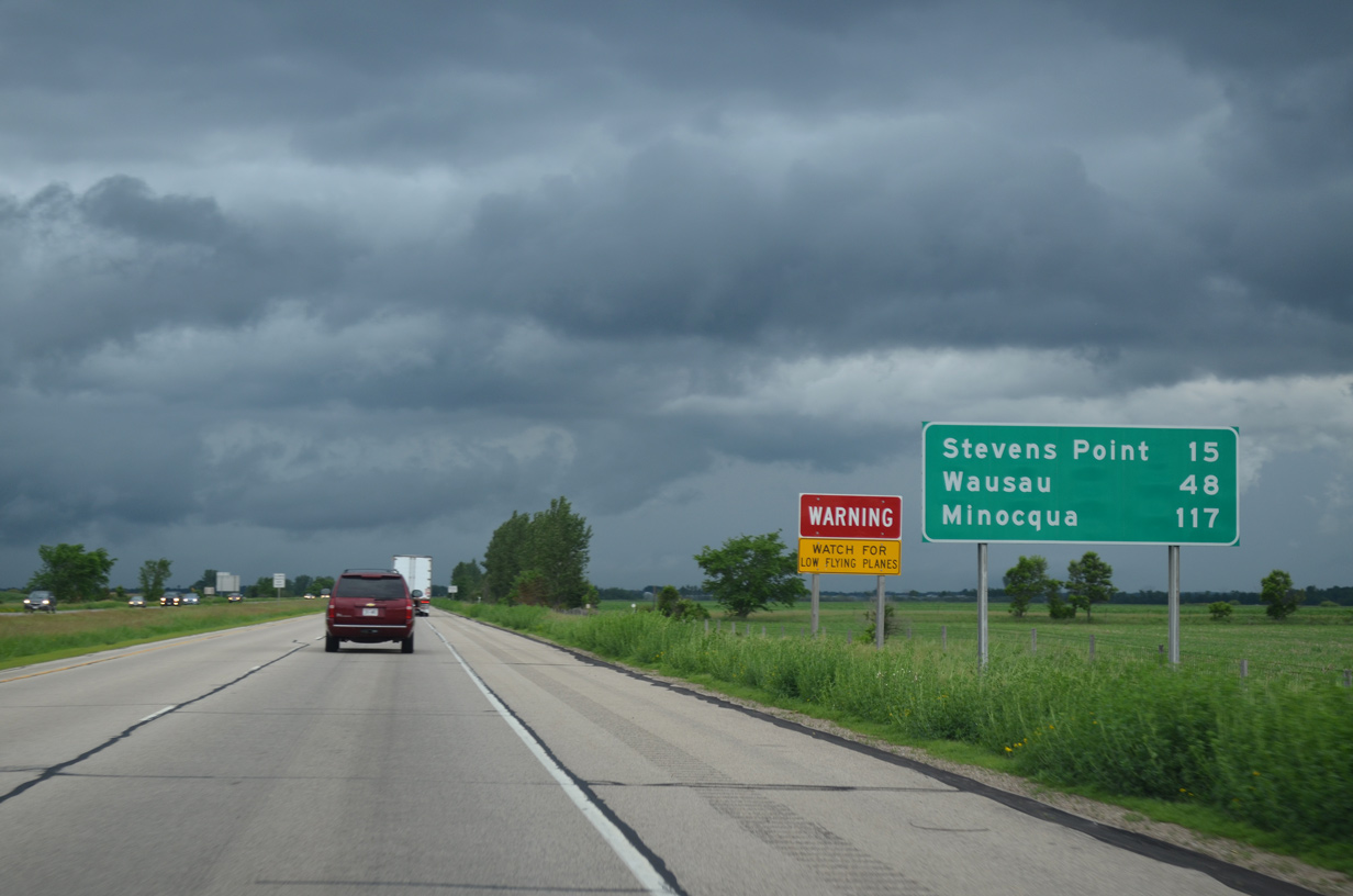
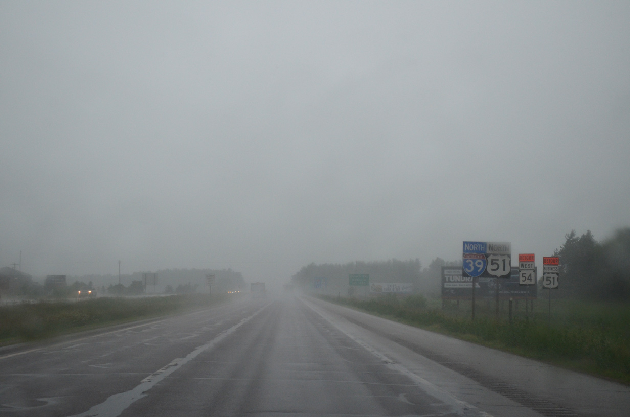
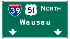
Minocqua, in far northern Oneida County, debuts on distance signs 117 miles out. Four exits serve the city of Stevens Point from I-39 starting in 12 miles.
06/15/15
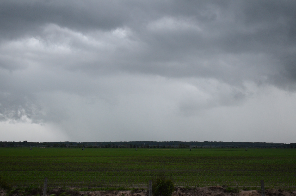
A distant ridge line appears to the east as I-39 remains across flat farm land. County BB runs along the hillside from Keene to Wis 54.
06/15/15
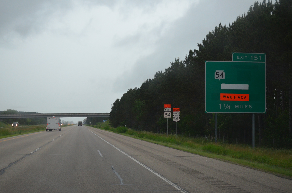
Northbound drivers reach the village of Plover at the upcoming diamond interchange (Exit 151) with U.S. 51 Business and Wis 54. Wis 54 ventures 22 miles from Waupaca to combine with U.S. 51 Business north along Post Road to the village center.
06/15/15
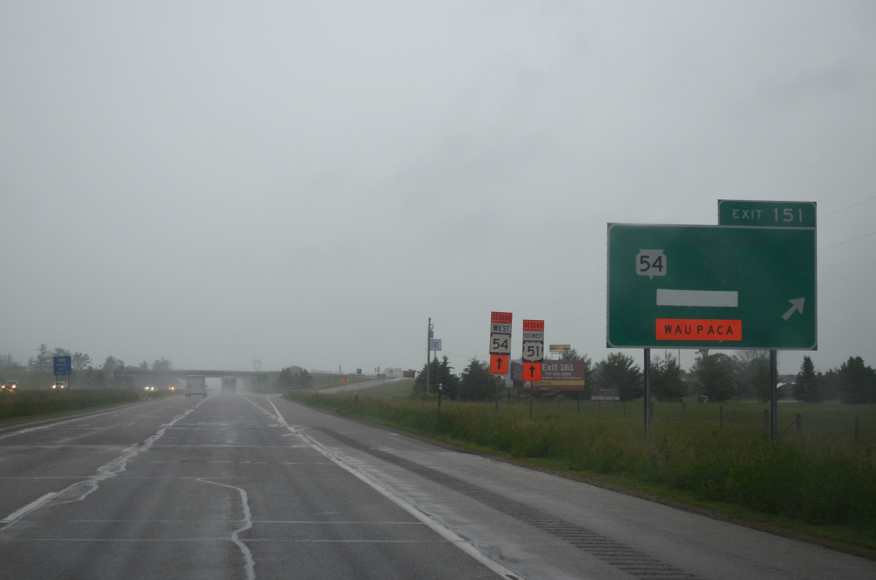
U.S. 51 Business loops 9.6 miles through Plover, Whiting and Stevens Point between Exit 151 and 161. Wis 54 overlaps with the route to Plover Road (CTH-B), where it turns west along a divided highway then expressway leading to Wisconsin Rapids.
Greenouts in place reflected a detour taking STH-54 north to Exit 153 from May 18 to September in 2015. A $2 million project reconstructed the intersection of U.S. 51 Business/Wis 54 with Maple Drive into a single lane roundabout. This work also included extending sidewalks north to County B.1
06/15/15
Continuing north, the southern outskirts of Plover remain rural to the commercial strip along Plover Road (Portage County B).
06/15/15
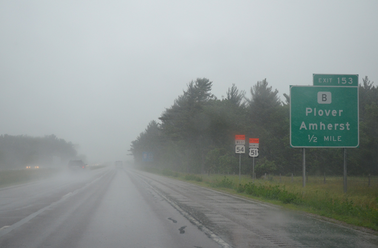
County B extends Plover Road east from Wis 54 as a commercial arterial to a diamond interchange (Exit 153) with I-39/U.S. 51.
06/15/15
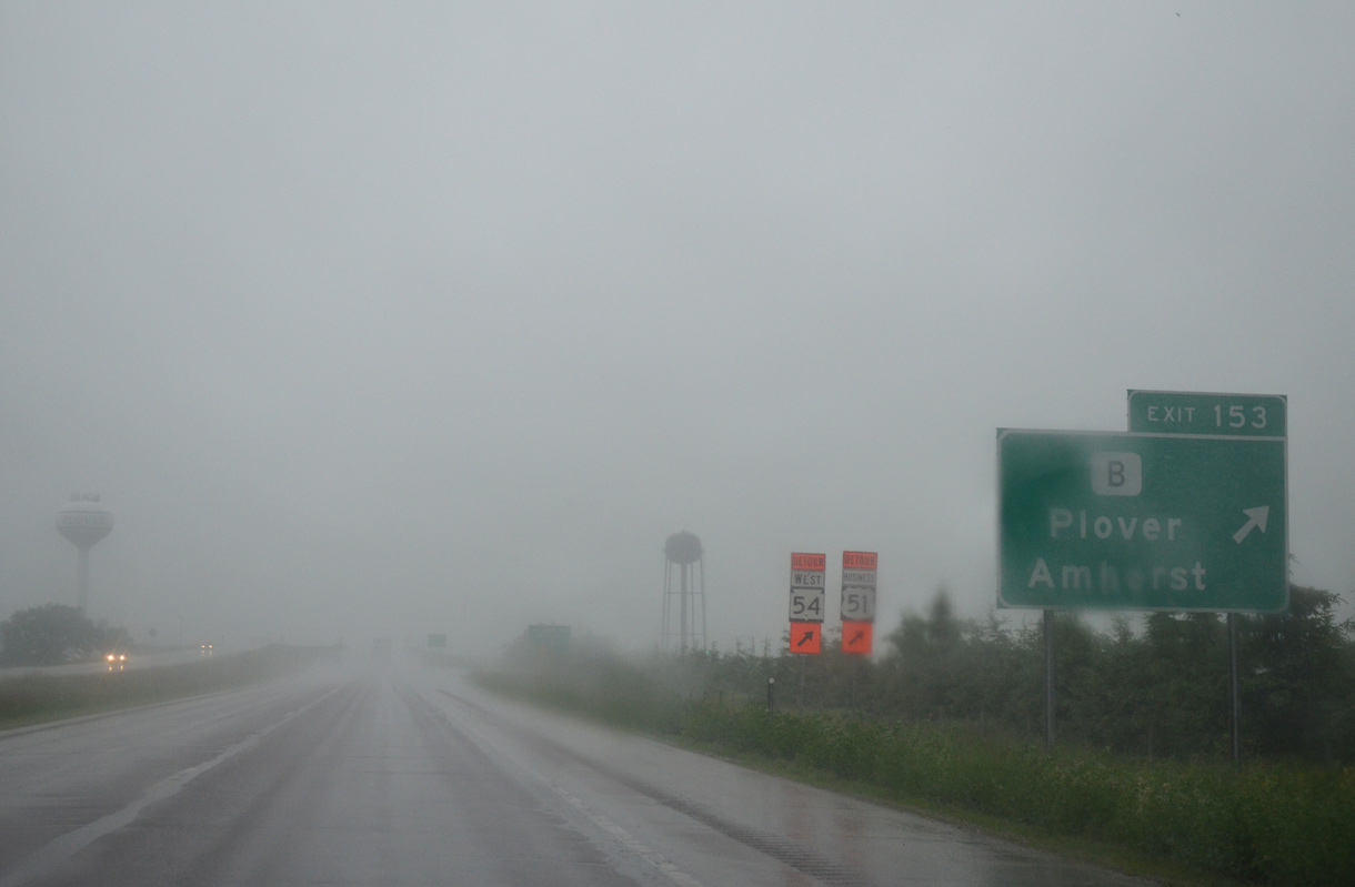
Exit 153 leaves the freeway north for Plover Road. The four lane stretch of CTH-B runs east another two miles as the trunk highway continues to U.S. 10 between Amherst and Amherst Junction.
06/15/15
Several subdivisions in east Plover line the freeway north to Exit 156.
06/15/15
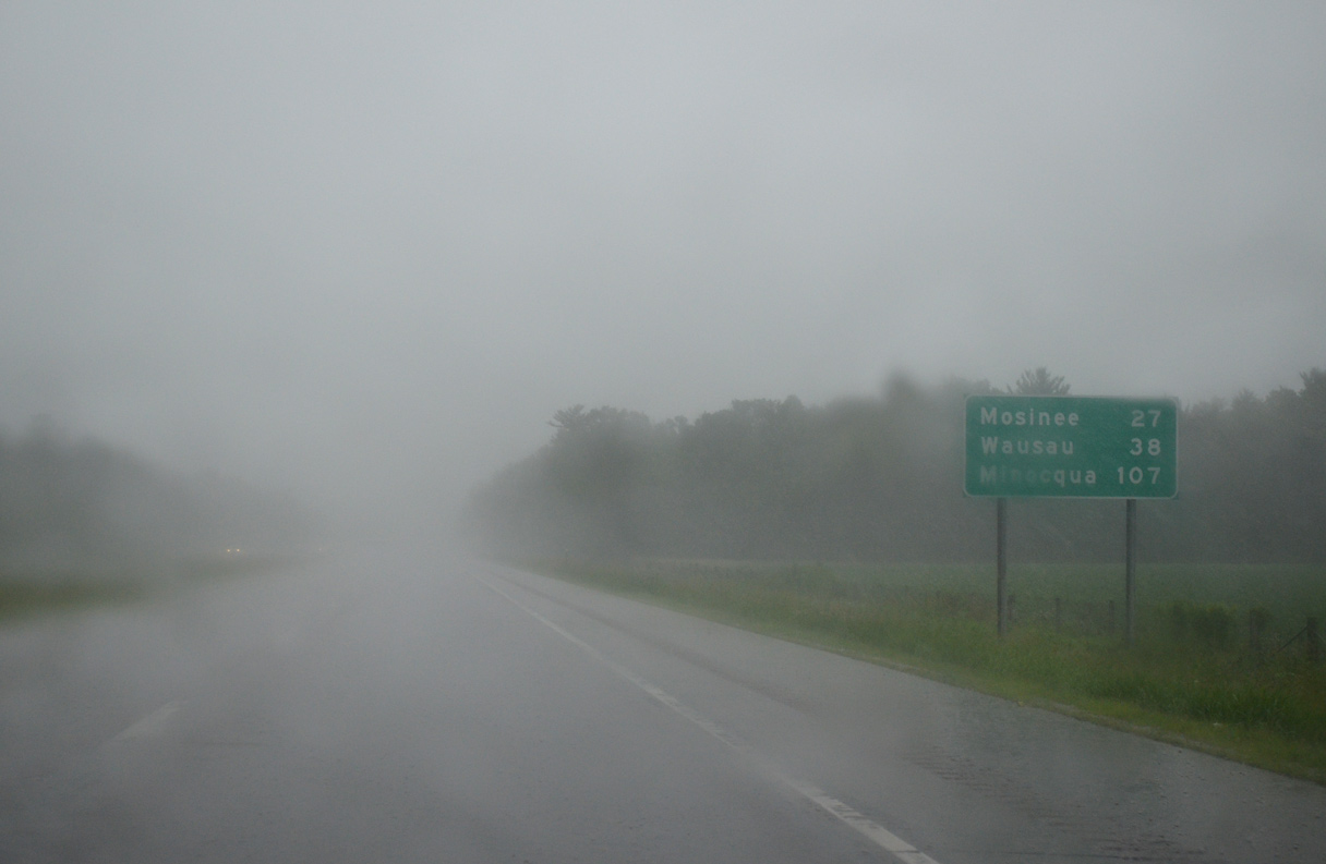
Mosinee, home to nearly 4,000, is the next city north of Stevens Point along Interstate 39 in 27 miles. The interstate ends in 34 miles, just shy of Wausau.
06/15/15
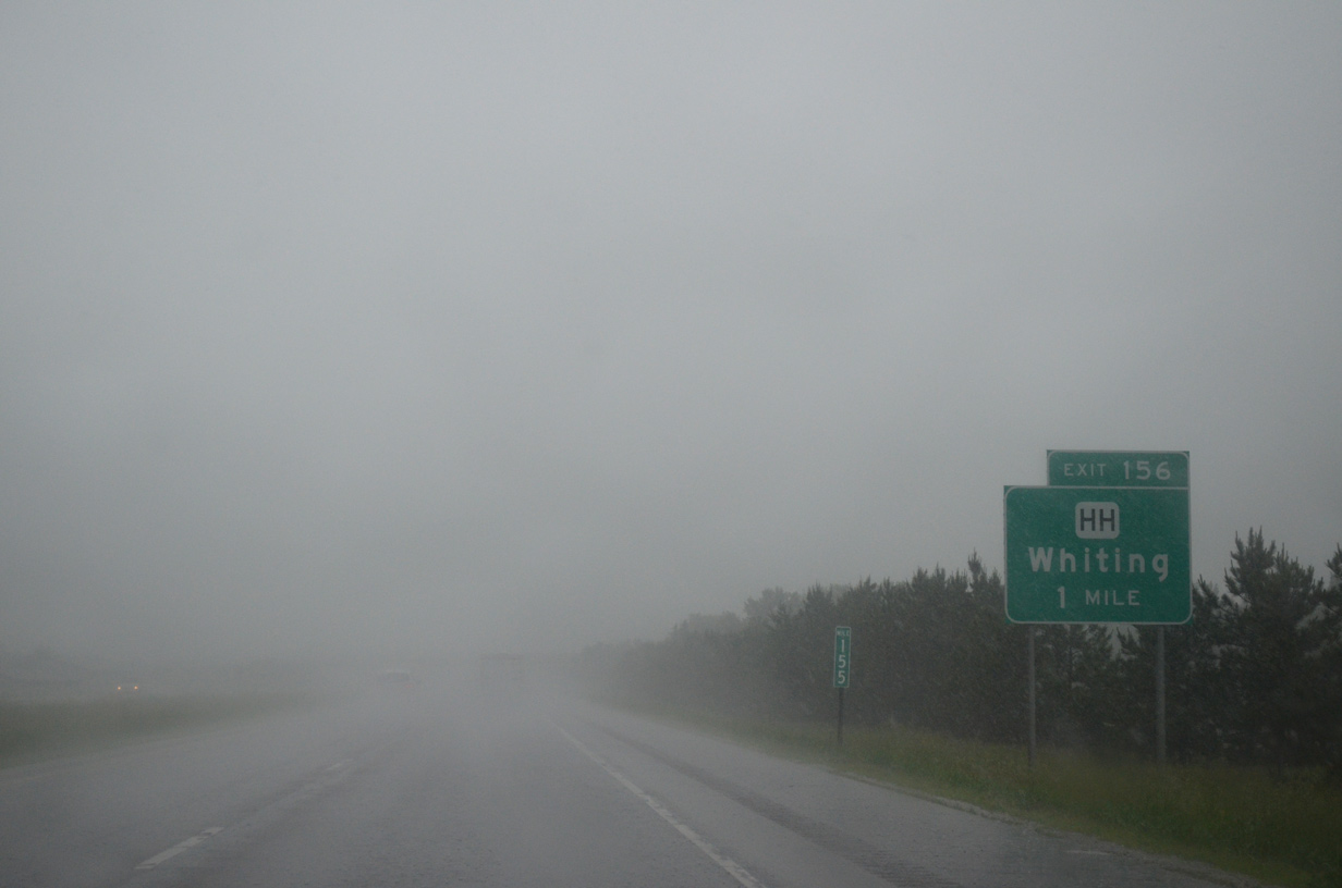
A parclo interchange (Exit 156) joins I-39/U.S. 51 with County HH (McDill Avenue) one mile ahead by the Crossroads Commons big box retail center.
06/15/15
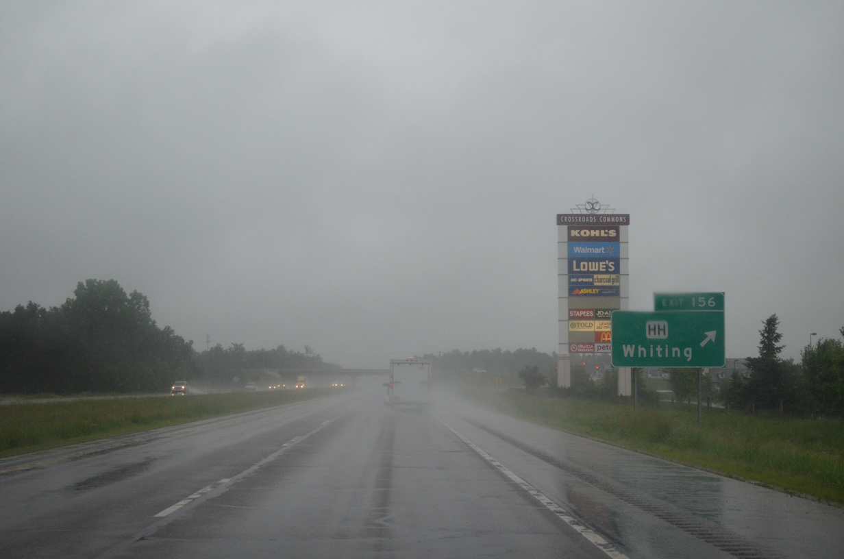
County HH travels across south Stevens Point, through the village of Whiting and along northern reaches of Plover on a 8.7 mile route between Wis 66 and County J.
06/15/15
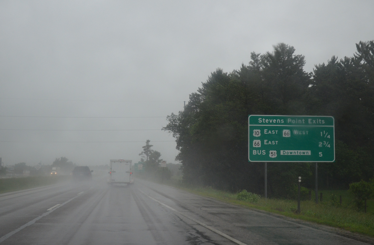
A community interchanges identification sign outlines the three Stevens Point exits from I-39/U.S. 51 over the next five miles. U.S. 10 west and Wis 66 east come together at Exit 158 next.
06/15/15
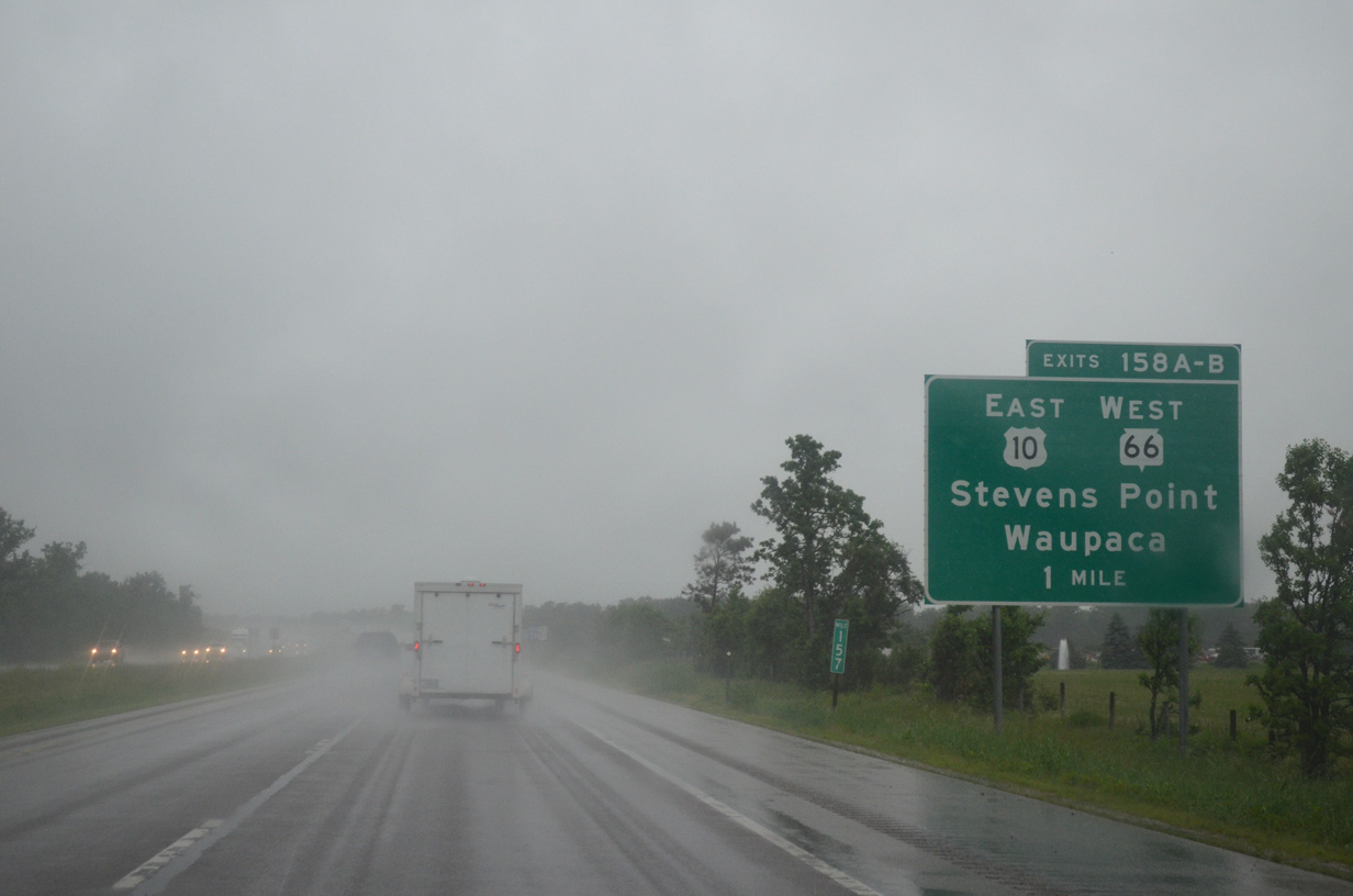
Separate ramps (Exits 158A/B) at a six-ramp parclo interchange depart in one mile for U.S. 10 east to Amherst and Waupaca and Wis 66 west to Park Ridge and Downtown Stevens Point.
06/15/15
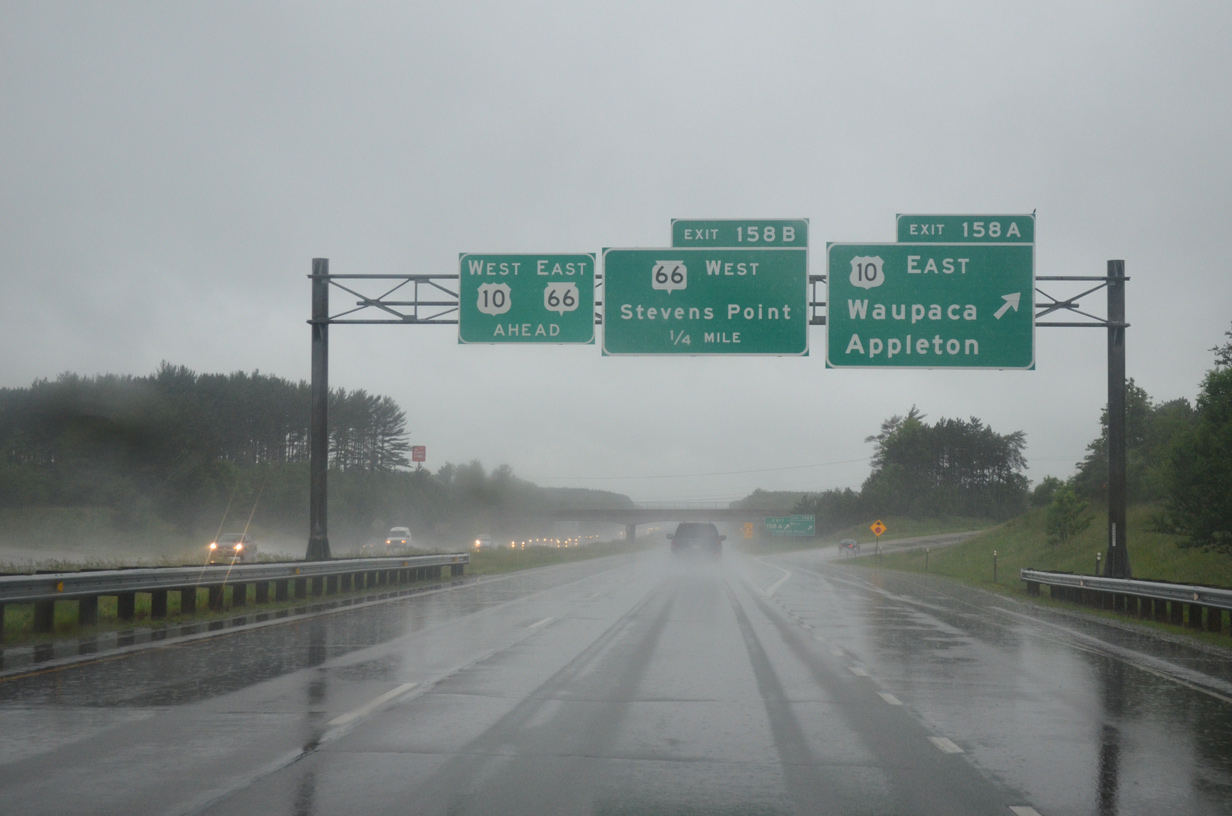
Exit 158A carries motorists onto U.S. 10 ahead of a commercial strip to the Stevens Point city line. Beyond Stevens Point and Custer, U.S. 10 constitutes either an expressway or freeway east to Interstate 41 and Appleton.
06/15/15
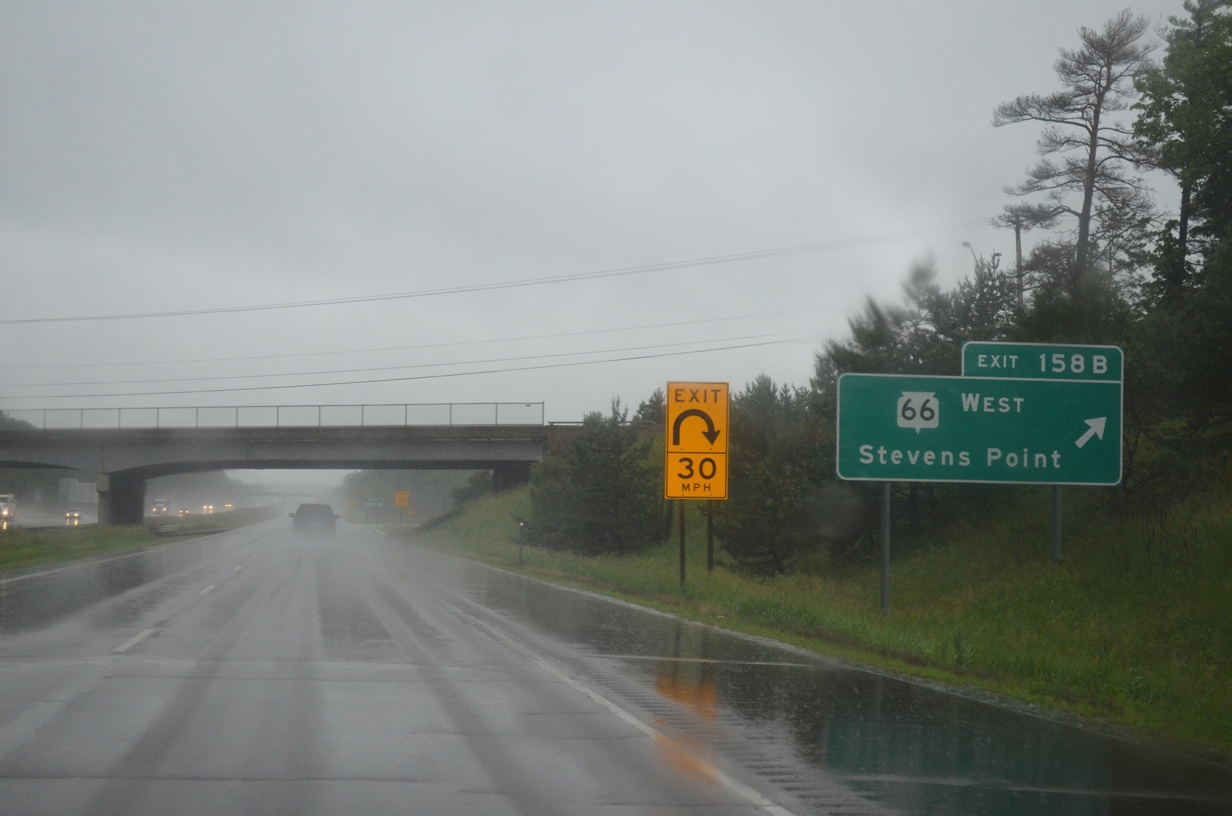
Wis 66 west follows the pre-2010 alignment of U.S. 10 across Stevens Point to County C (Clark Street). The trunk highway follows Main Street west from Iverson Park to a couplet through Downtown.
06/15/15

References:
- "North Central Region Road Construction Update." The City Times, May 1, 2015.
Photo Credits:
- ABRoads: 06/15/15
Connect with:
Page Updated Thursday April 28, 2016.