
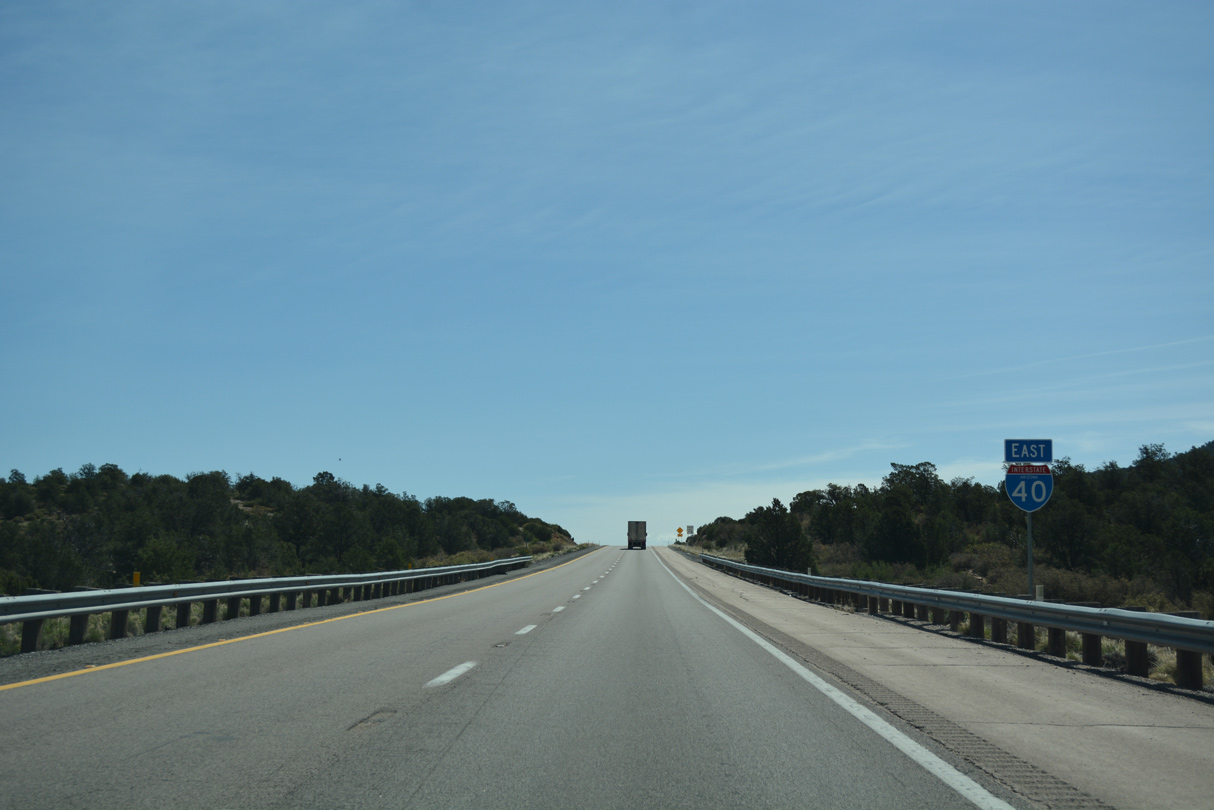
Interstate 40 East - Yavapai County to Ash Fork
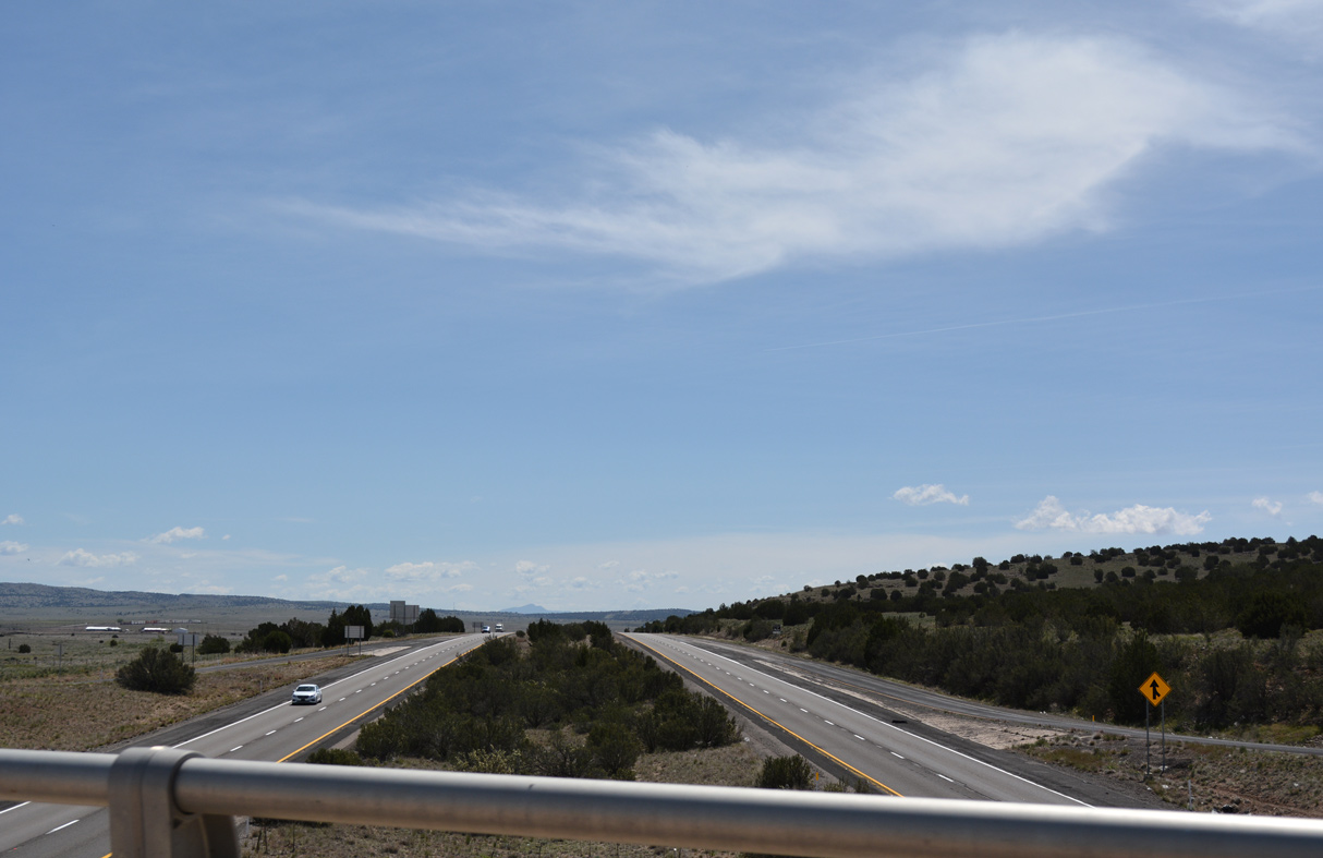
Interstate 40 passes south of Seligman by a mesa between Business Loop I-40. - 04/27/2017
 East
East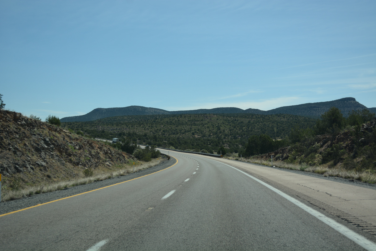
04/27/17

04/27/17
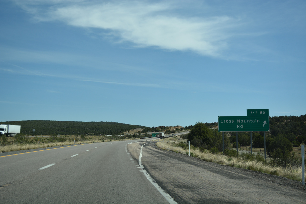
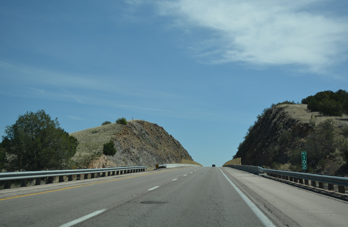
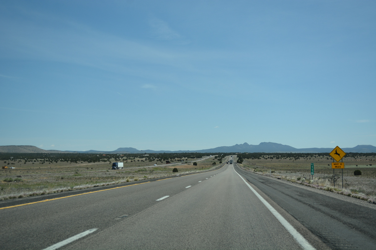
Exit 96 departs Interstate 40 east for Cross Mountain Road. I-40 is just shy of 5,300 feet of elevation here.
04/27/17
04/27/17
04/27/17
04/27/17
04/27/17

04/27/17
04/27/17
04/27/17
04/27/17
04/27/17
04/27/17
04/27/17
04/27/17
04/27/17
04/27/17

04/27/17
04/27/17
04/27/17
04/27/17
04/27/17
04/27/17
04/27/17
04/27/17
04/27/17
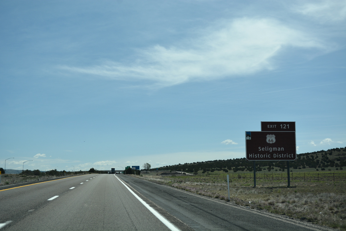
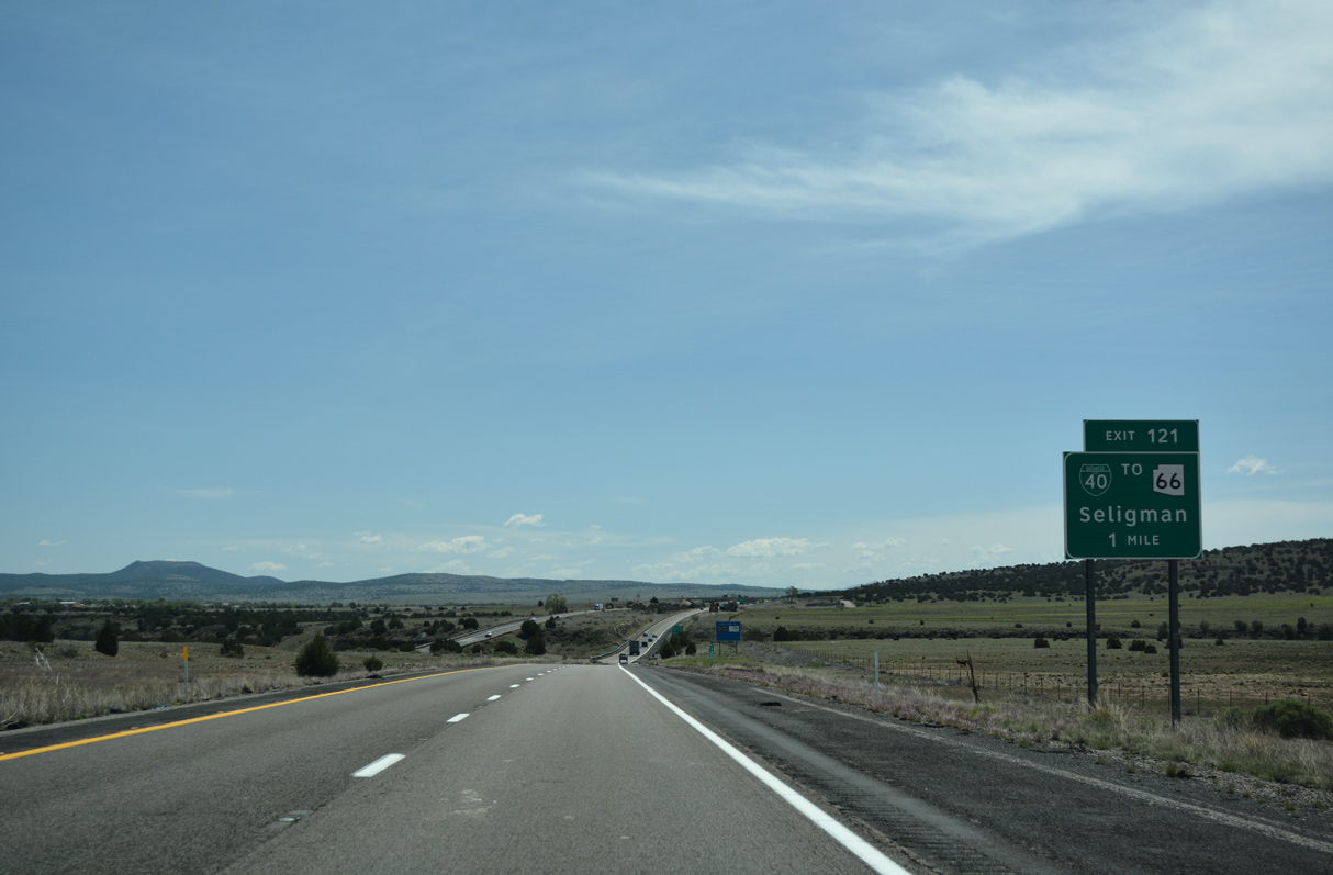
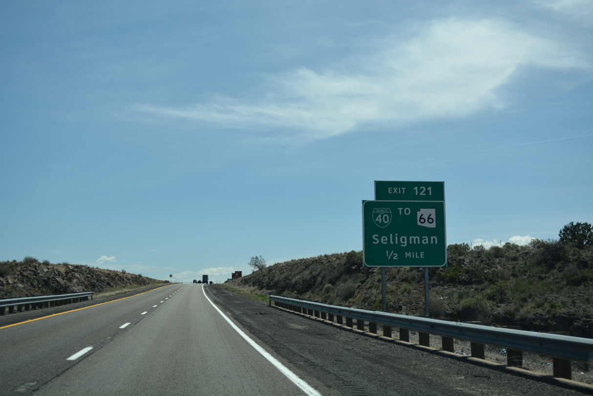
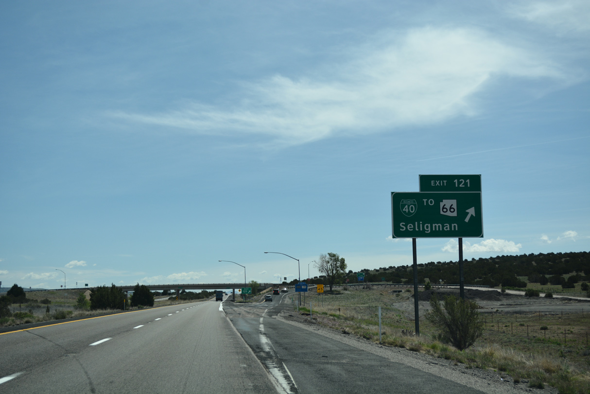
Exit 121 connects with the Seligman historical district along Historic U.S. 66. Former U.S. 66 parallels Interstate 40 again east of Seligman.
04/27/17
04/27/17
04/27/17
04/27/17
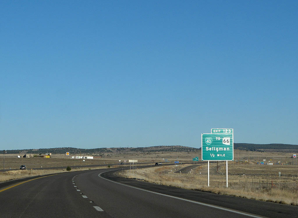
The 4.25 mile long route of Business Loop I-40 through Seligman concludes at forthcoming Exit 123 and Williamson Valley Road
03/30/07
03/30/07
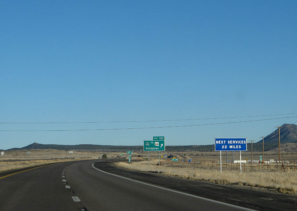
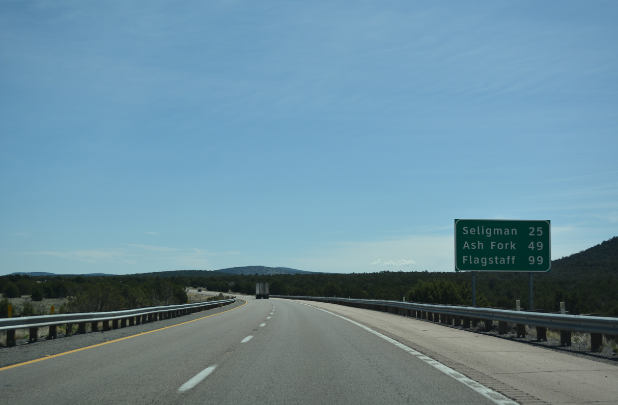
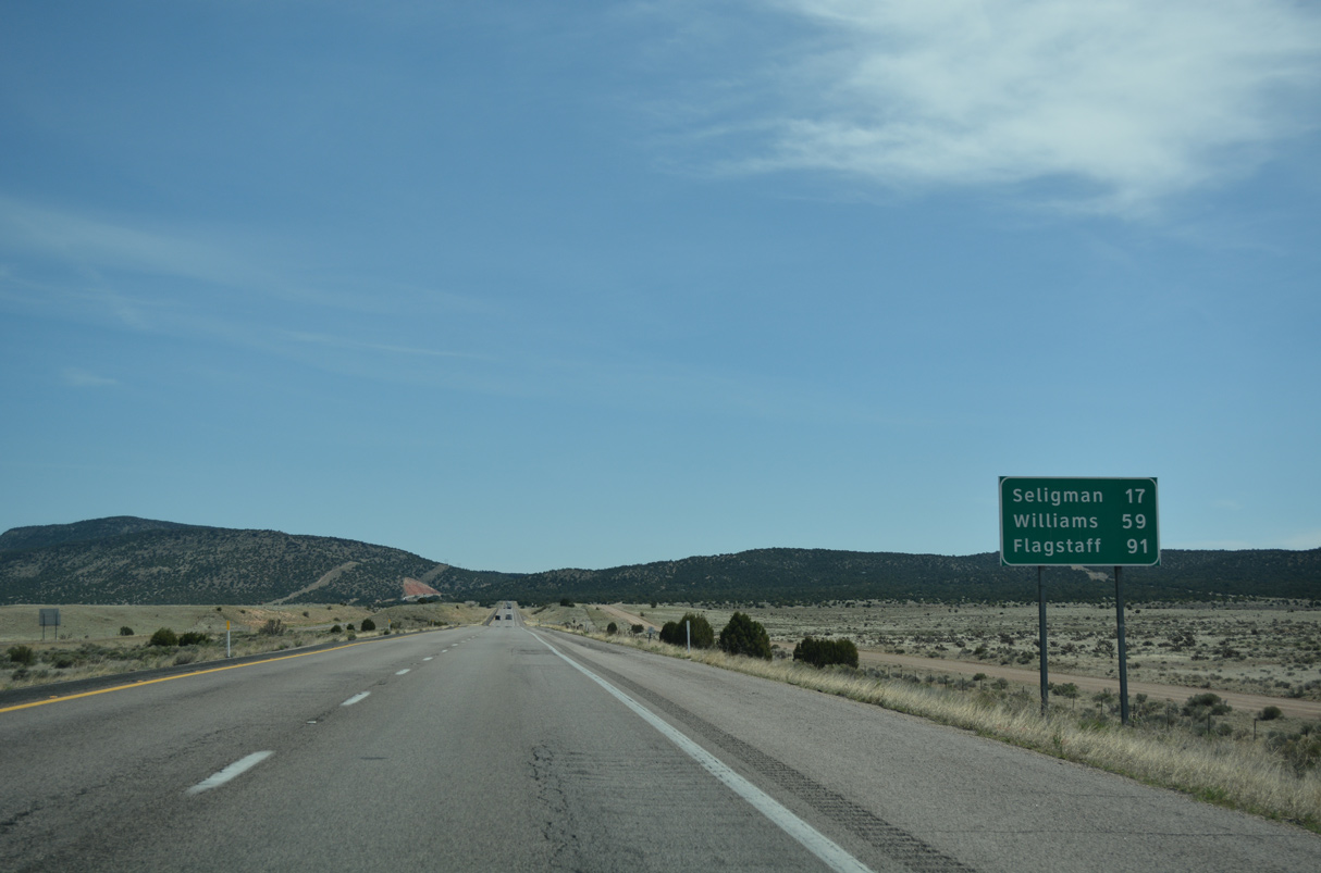
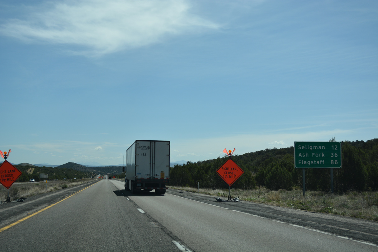
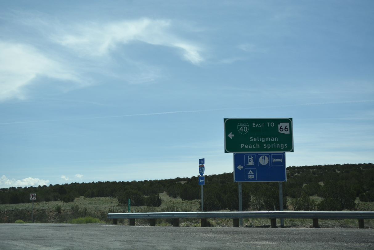
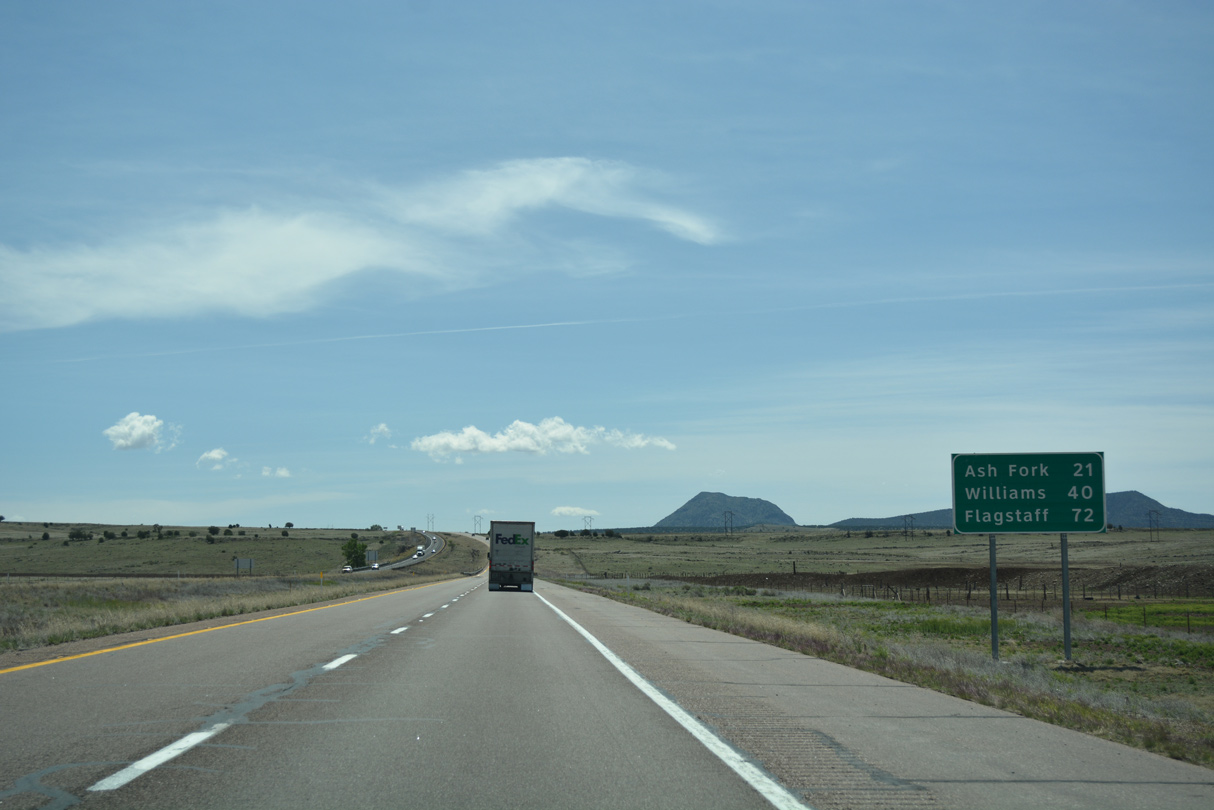
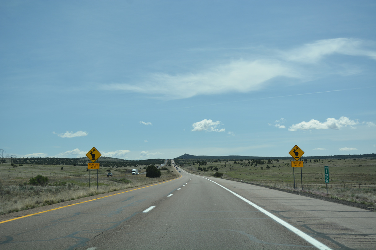
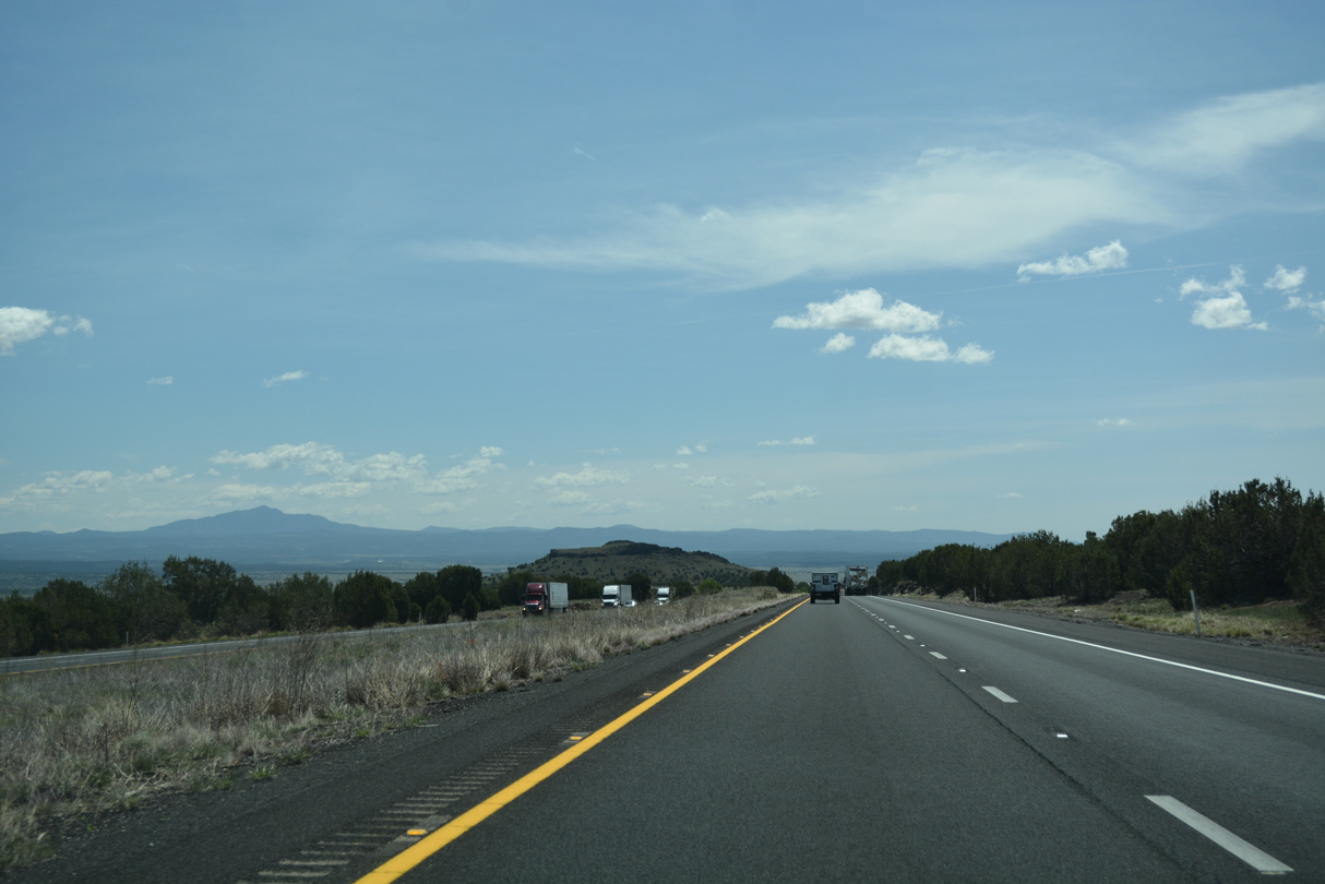
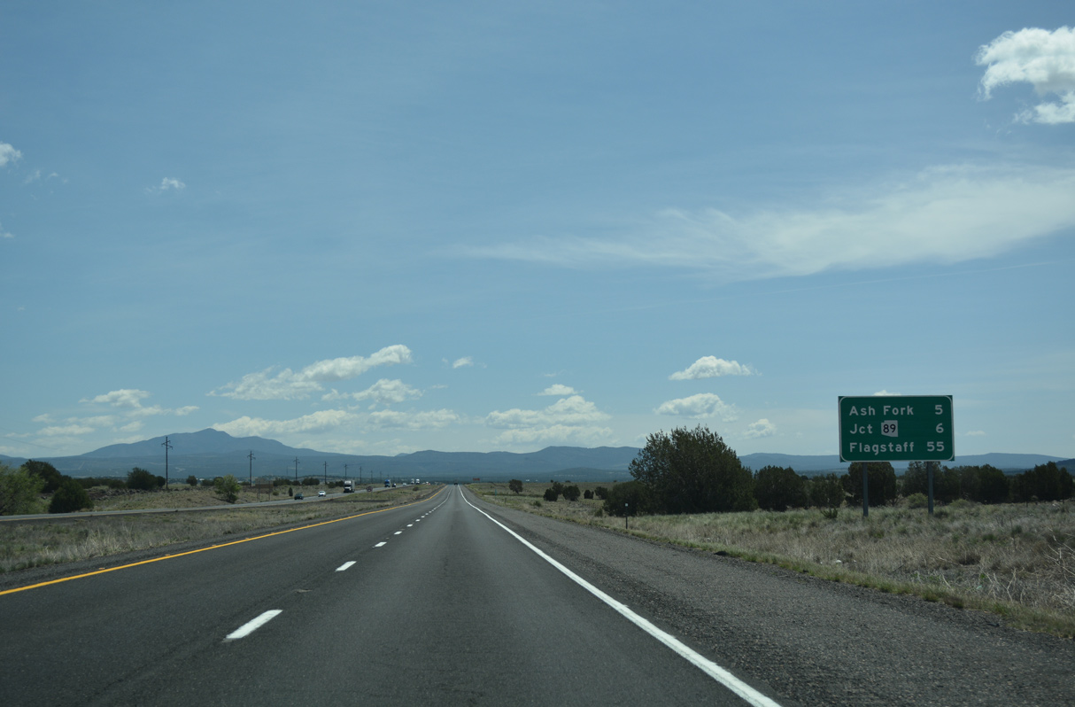
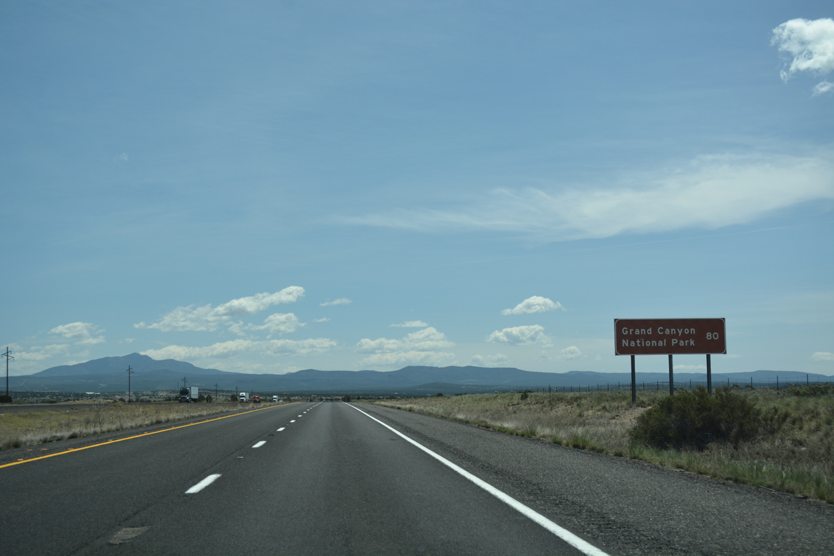
The next services beyond Seligman are located in Ash Fork 22 miles ahead. Long distances are common between services along Interstate 40.
03/30/07
03/30/07
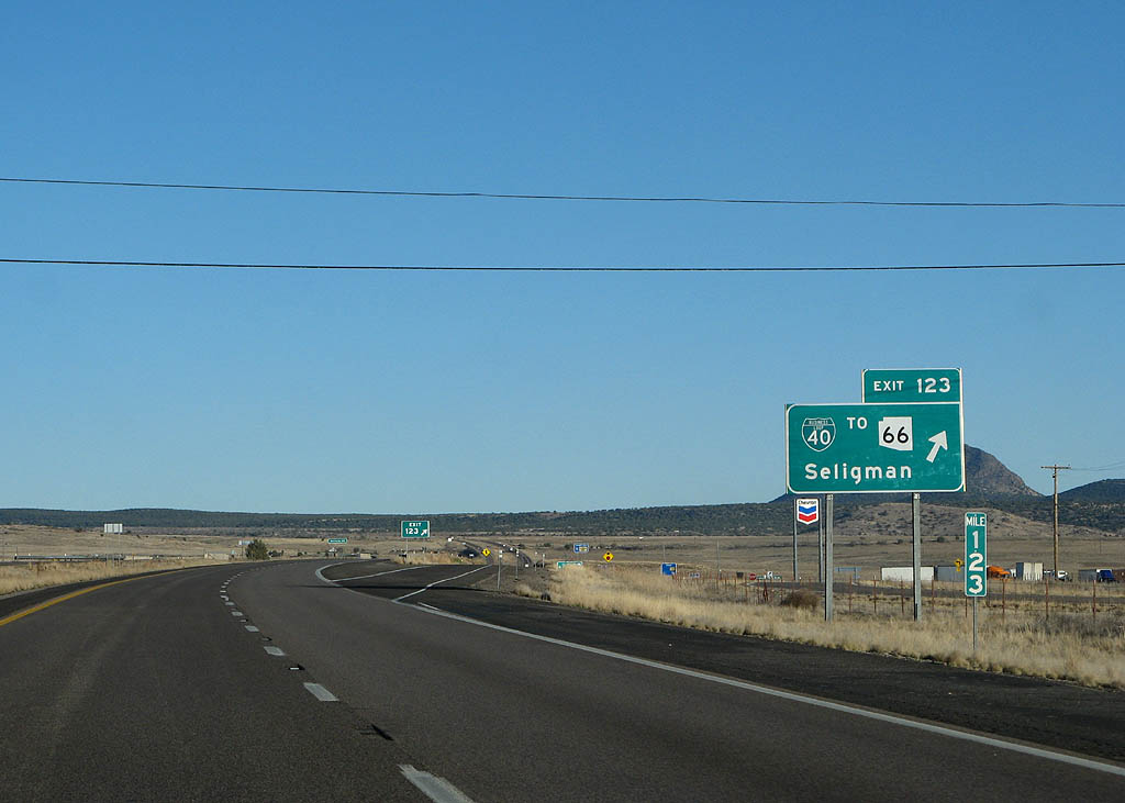
Entering the diamond interchange (Exit 123) with Business Loop I-40 west to Historic U.S. 66 (Chino Street) and Williamson Valley Road (CR 5) south 34 miles to Walnut Creek.
03/30/07
03/30/07
04/27/17
04/27/17
04/27/17
04/27/17
04/27/17
04/27/17
04/27/17

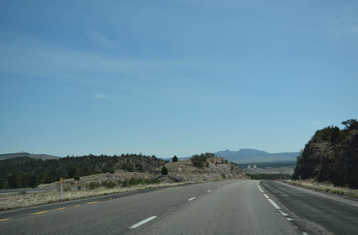
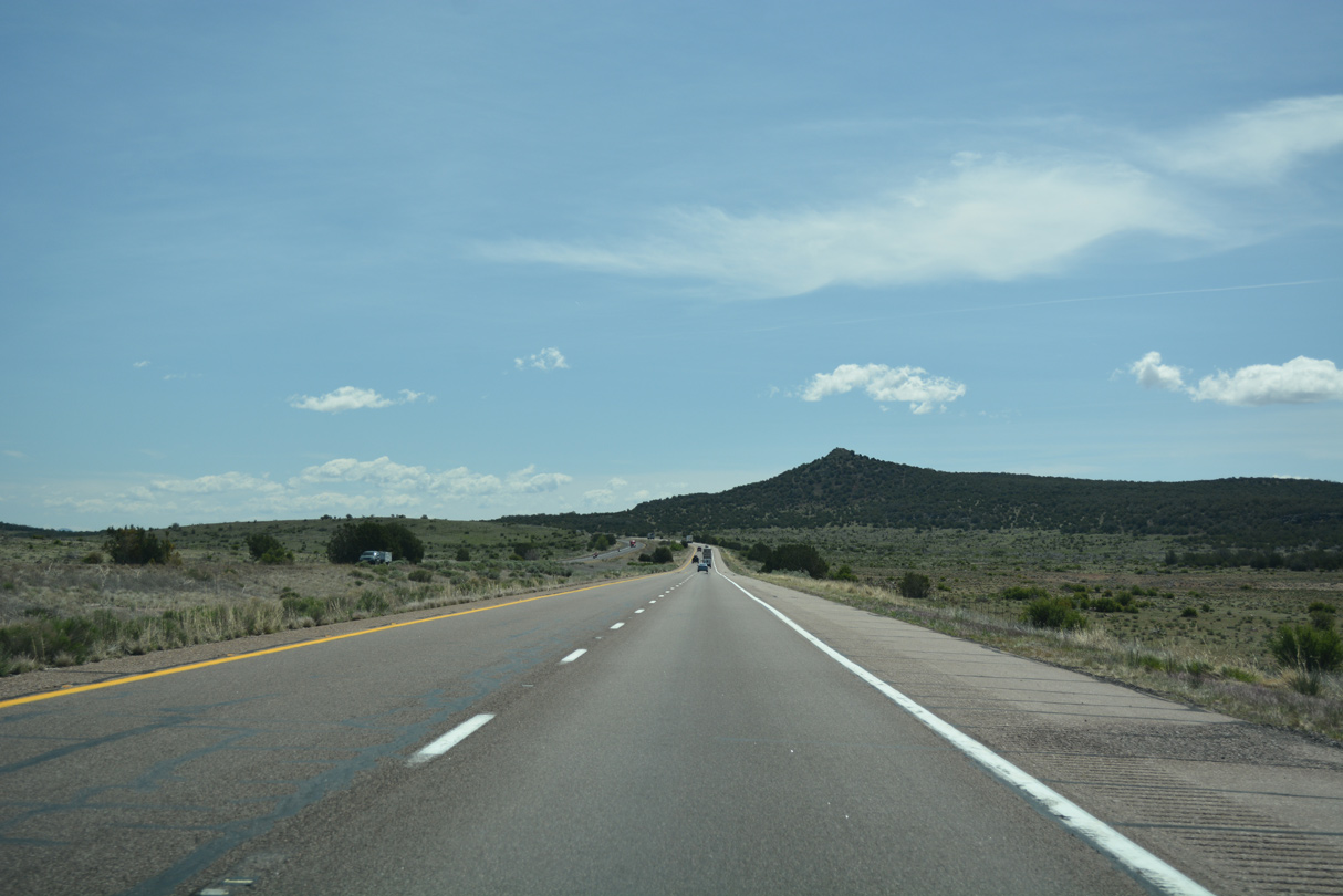
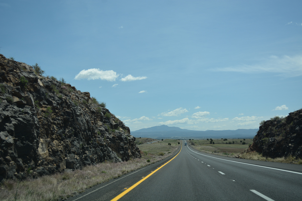
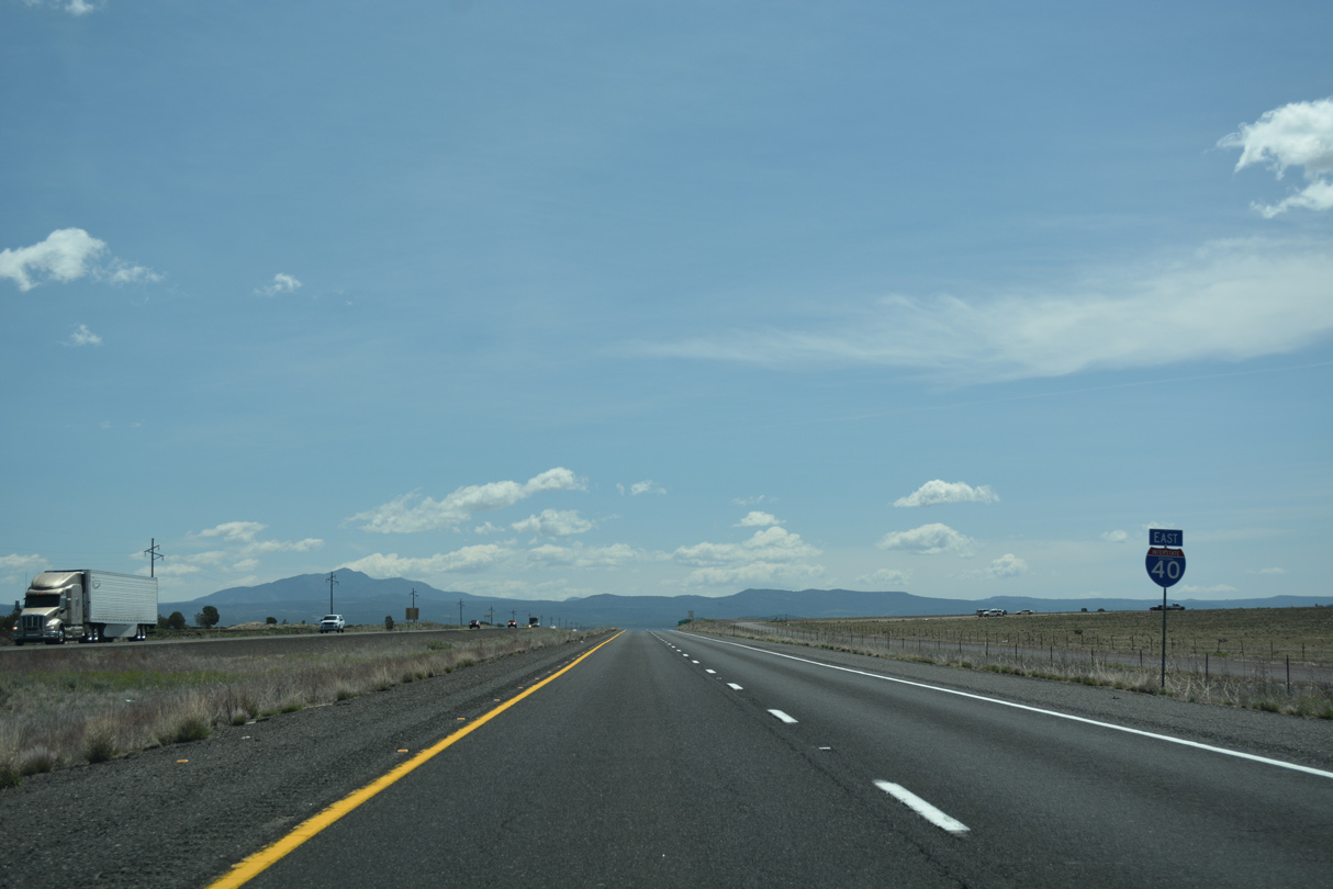
Interstate 40 parallels former U.S. 66 over Crookton Hill toward Ash Fork.
04/27/17
04/27/17
04/27/17
04/27/17
04/27/17
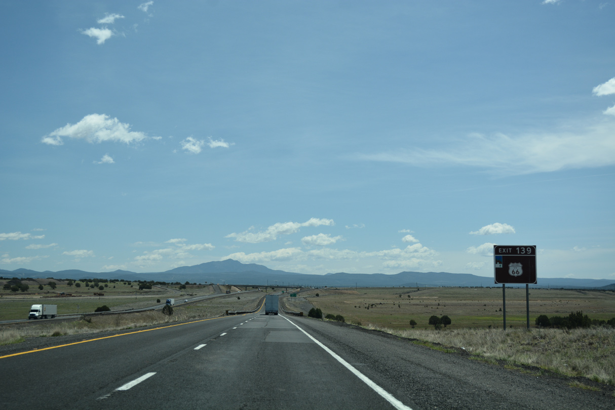
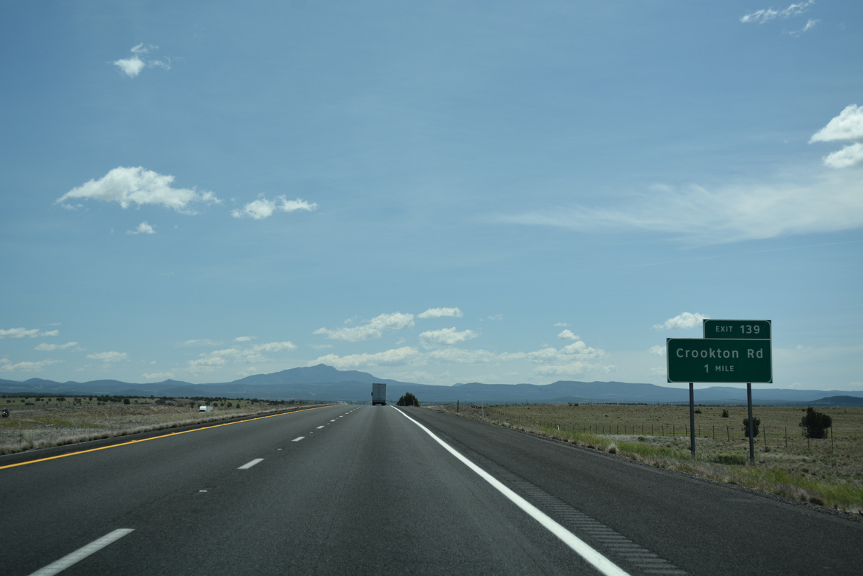
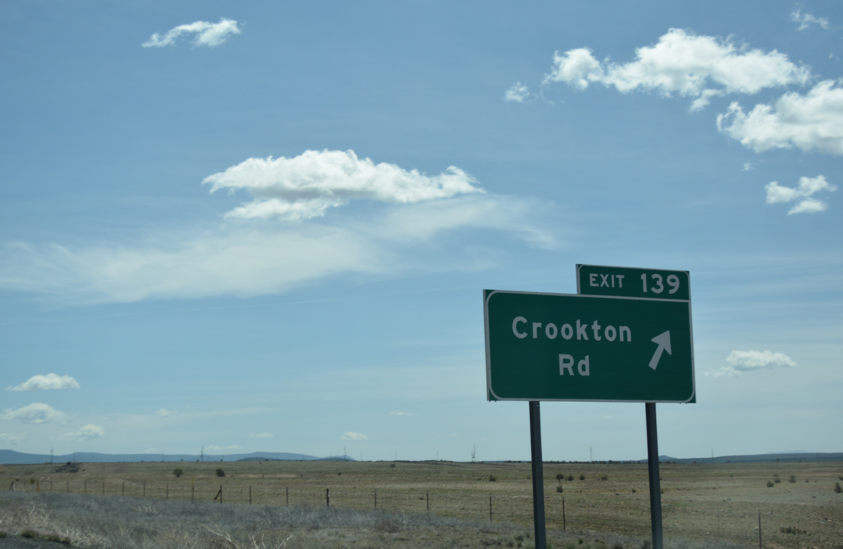
Exit 139 connects I-40 east with Historic U.S. 66 west. This section of U.S. 66 crosses the Crookton overpass, a historic bridge over the railroad and a sight worth seeing.
04/27/17
04/27/17
04/27/17
04/27/17
04/27/17
04/27/17
04/27/17

04/27/17

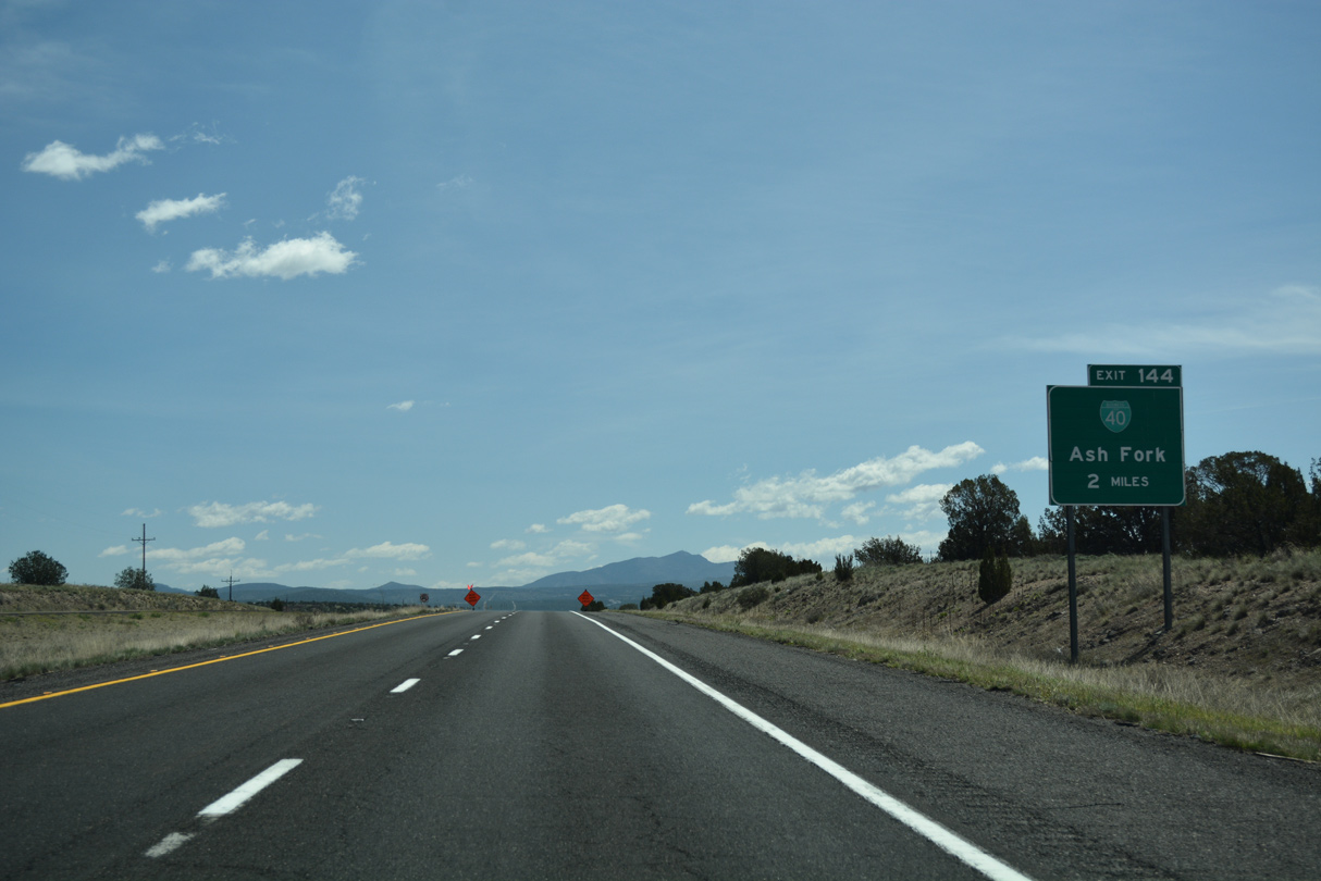
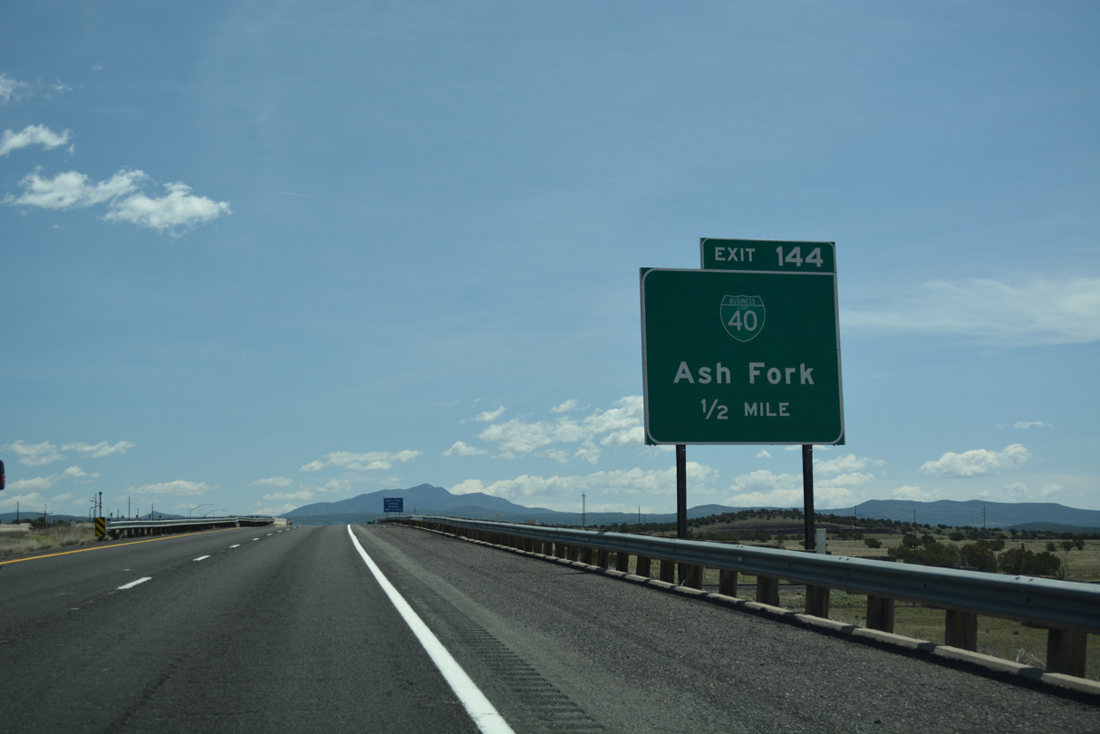
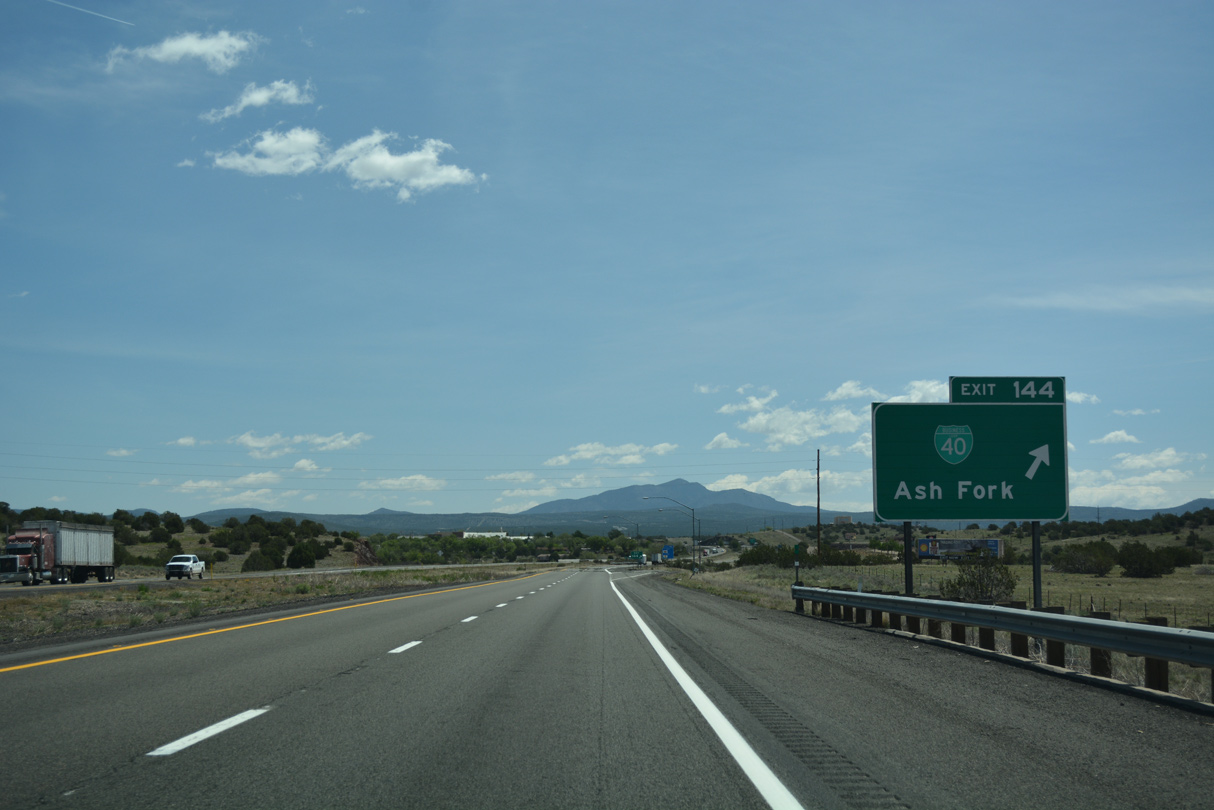
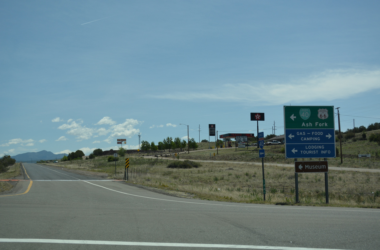
The Business Loop through Ash Fork is former U.S. 66.
04/27/17
04/27/17
04/27/17
04/27/17
04/27/17
Photo Credits:
- ABRoads: 04/27/17
- Kevin Trinkle: 03/30/07
Connect with:
Page Updated Wednesday March 30, 2022.