
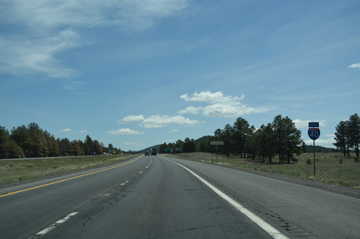
Interstate 40 East - Ash Fork to Williams
 East
East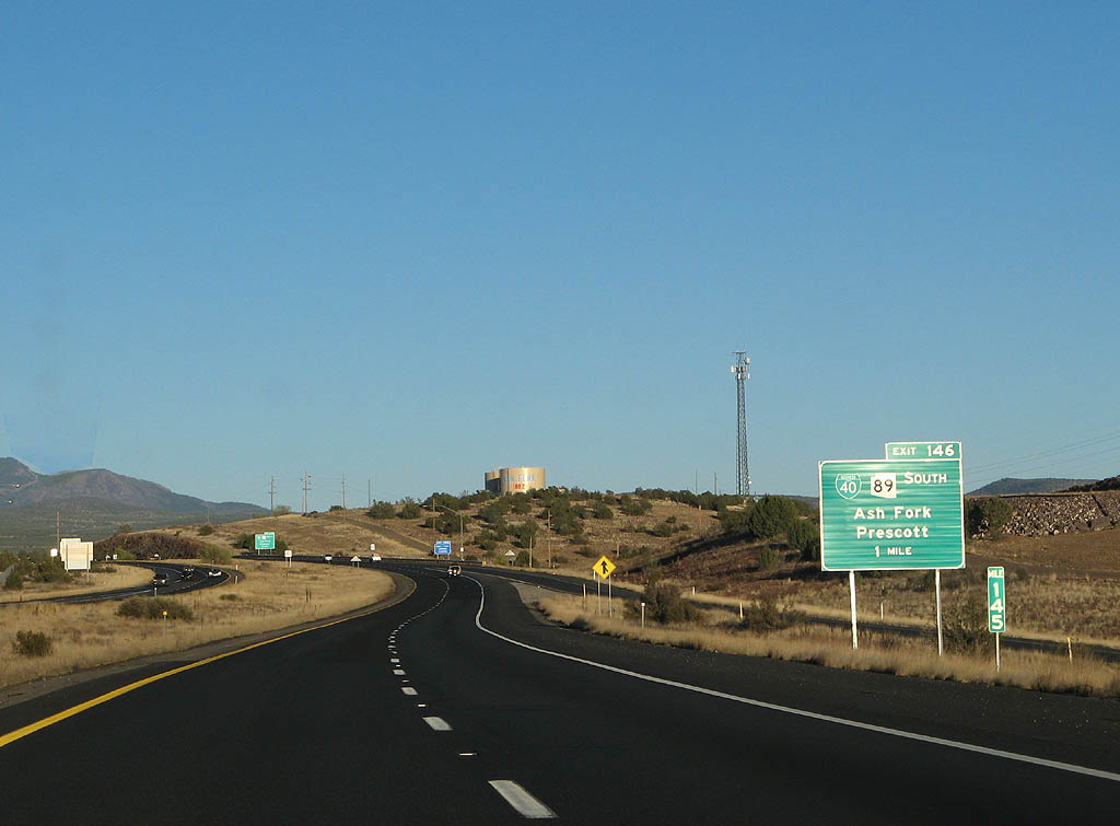
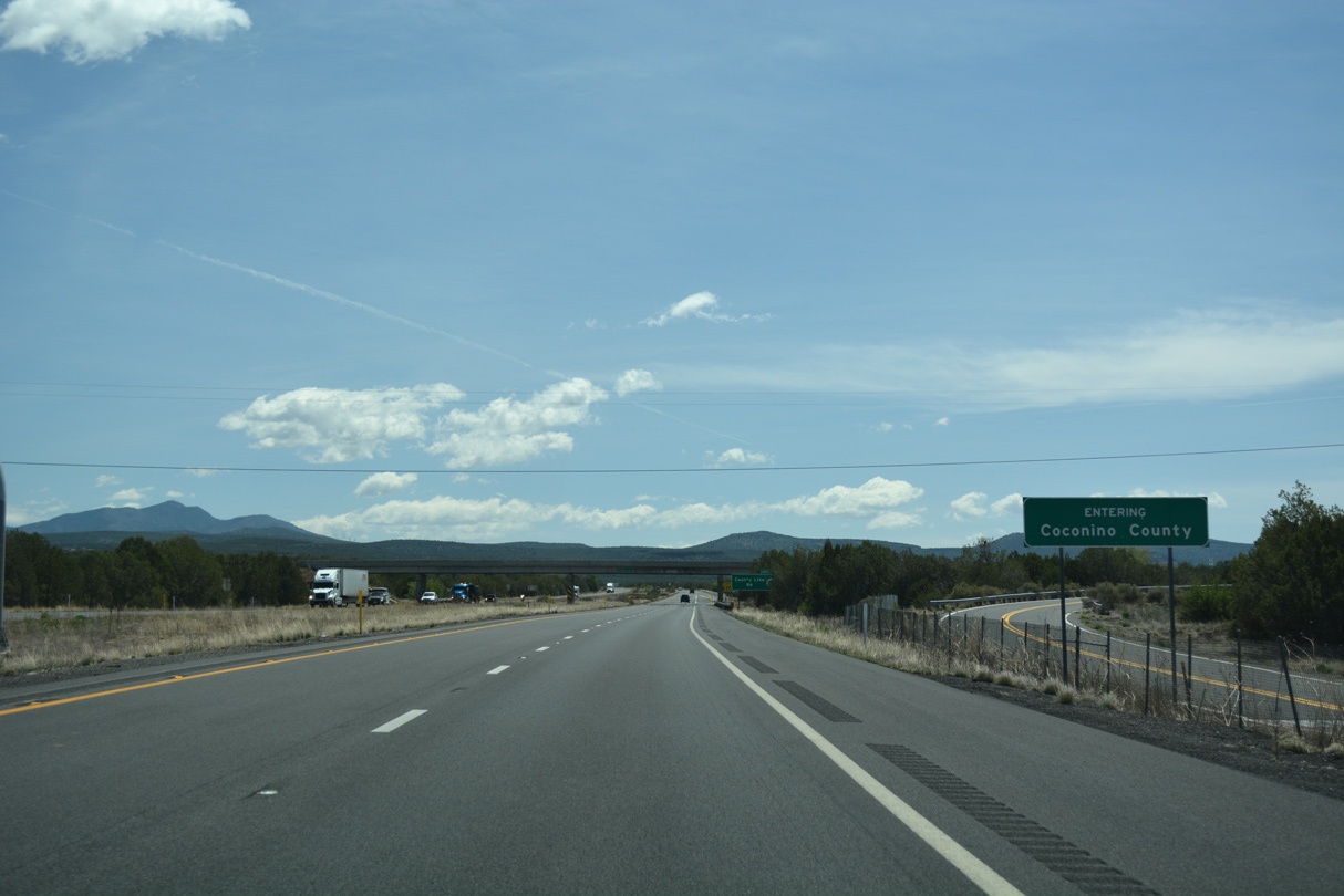
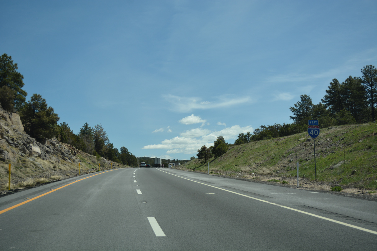
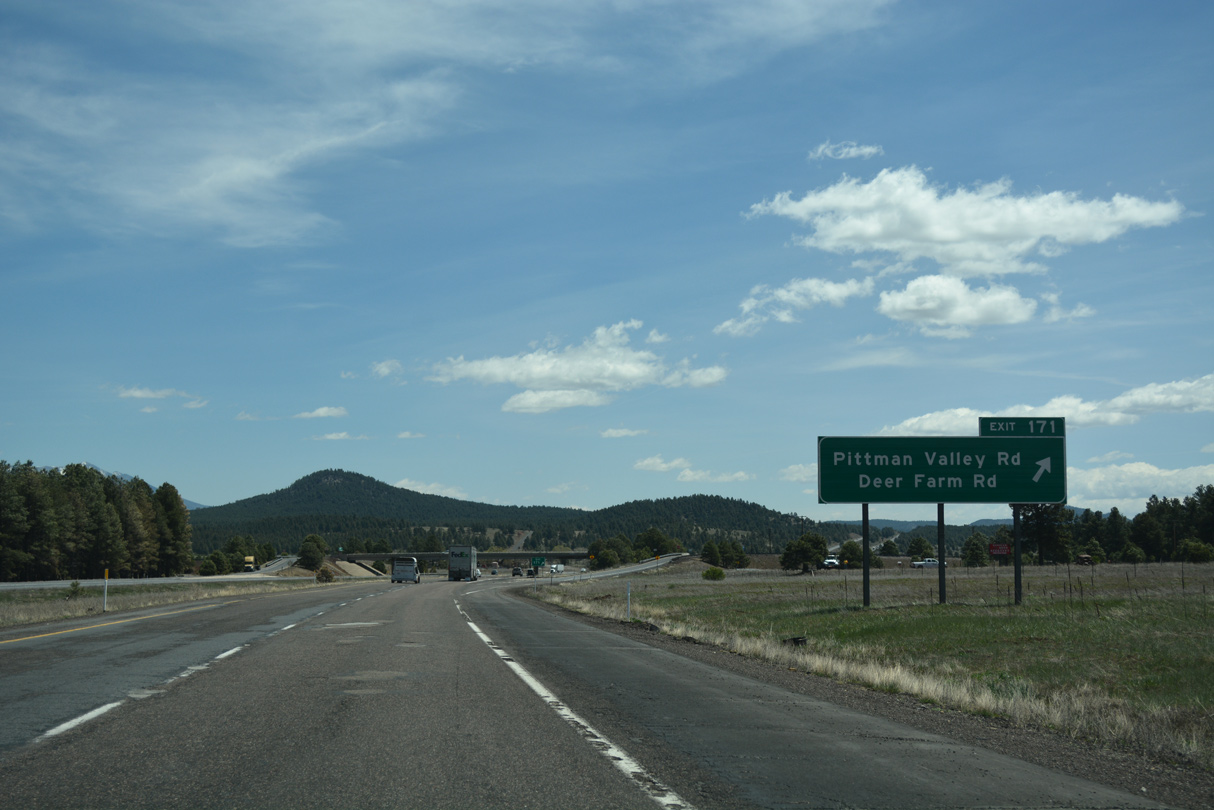
Continuing east through the community of Ash Fork, the next exit on Interstate 40 east is with SR 89 south and the end of Business Loop I-40 along Lewis Avenue.
03/30/07
03/30/07
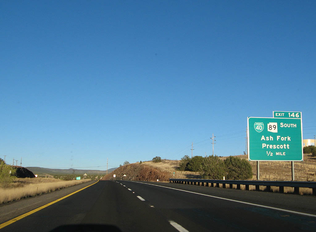
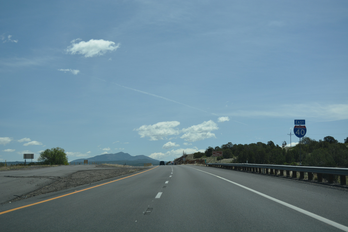
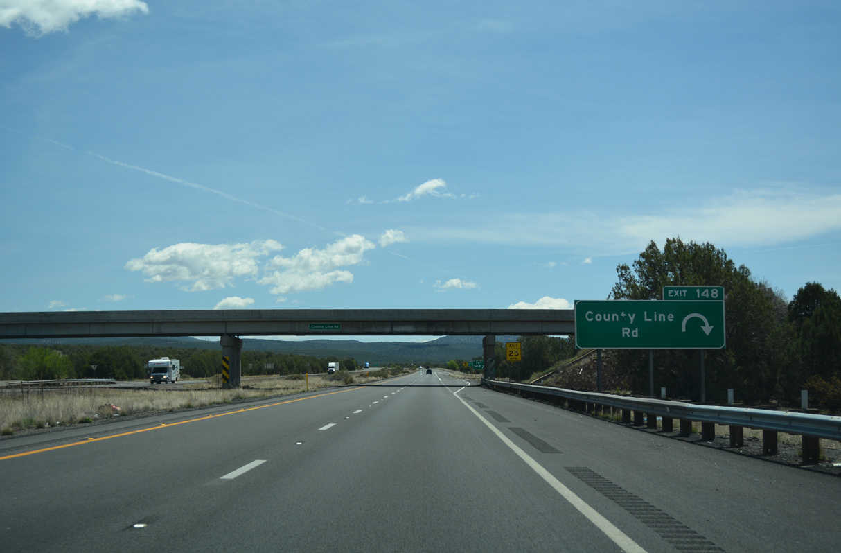
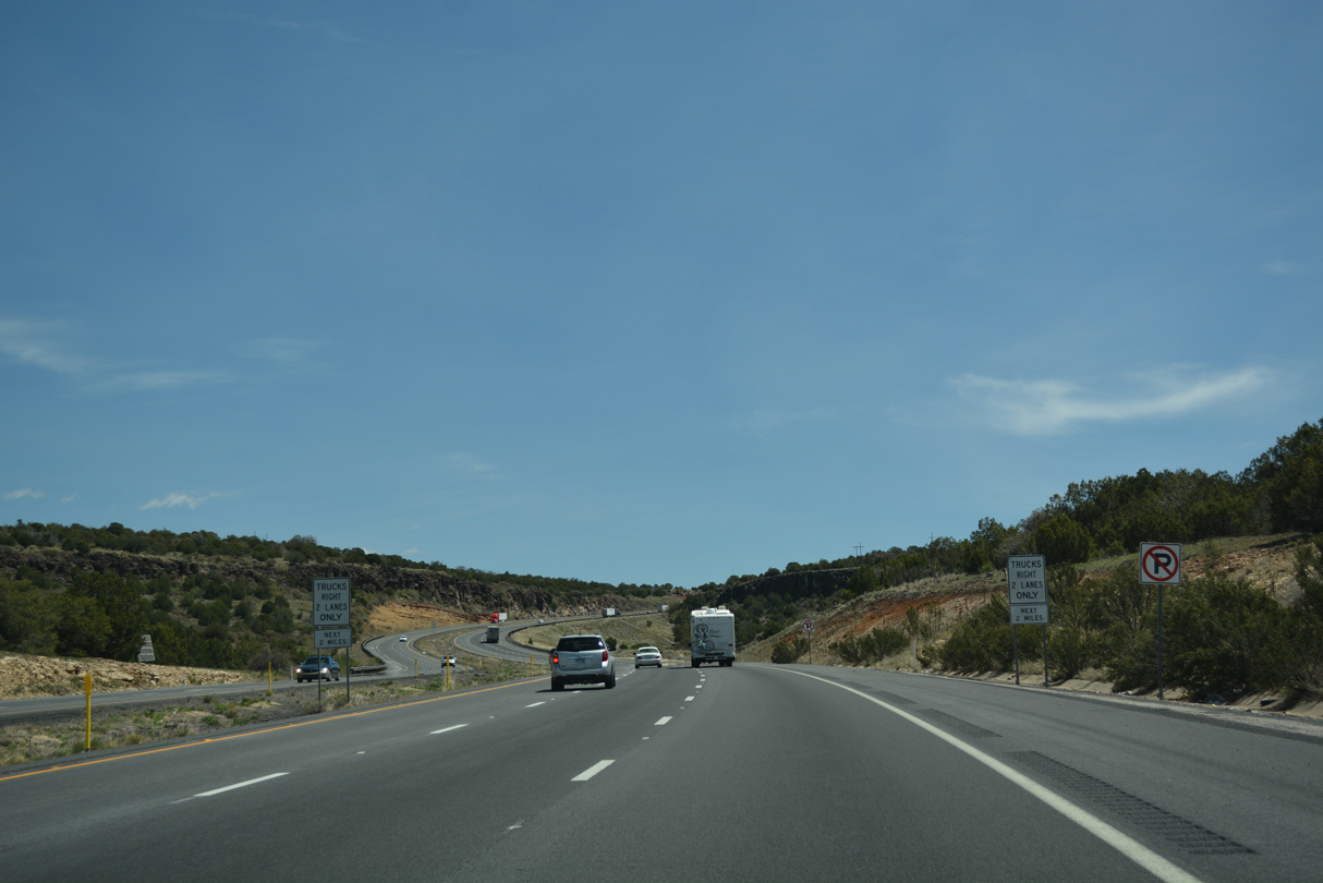
U.S. 89 formerly combined with I-40 and U.S. 66 at a two-wye intersection just north of the diamond interchange at Exit 146.
03/30/07
03/30/07
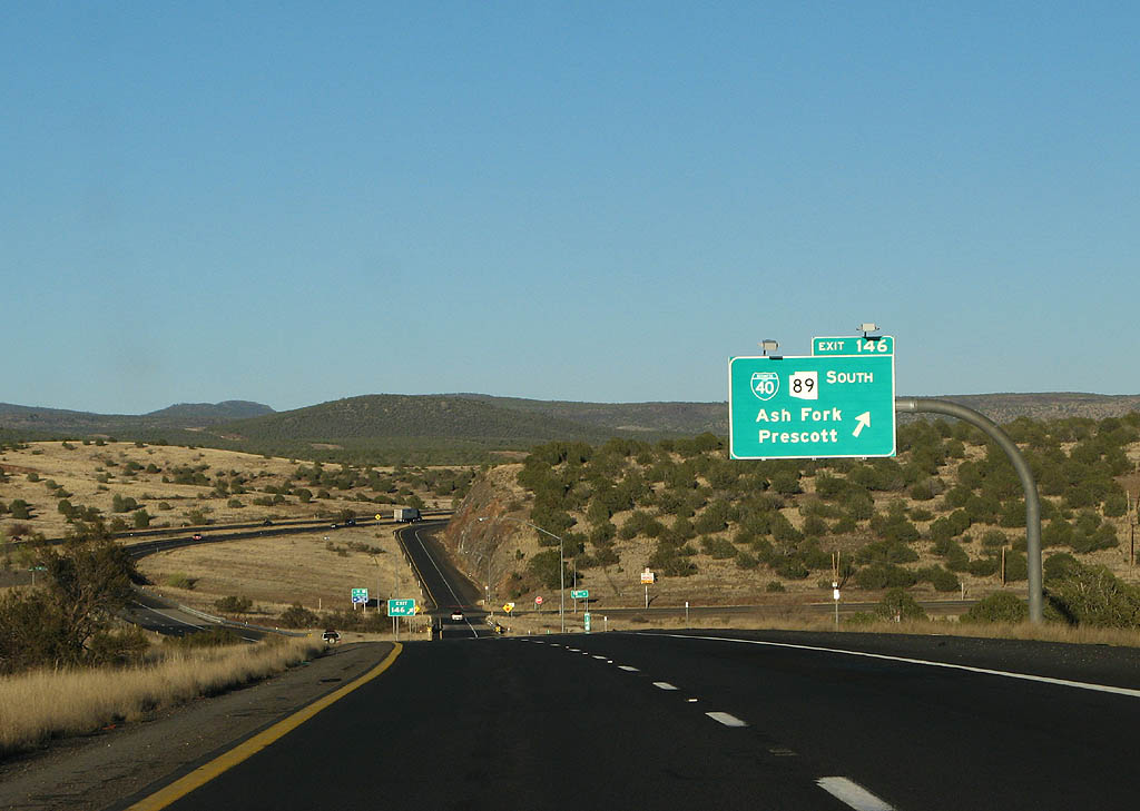
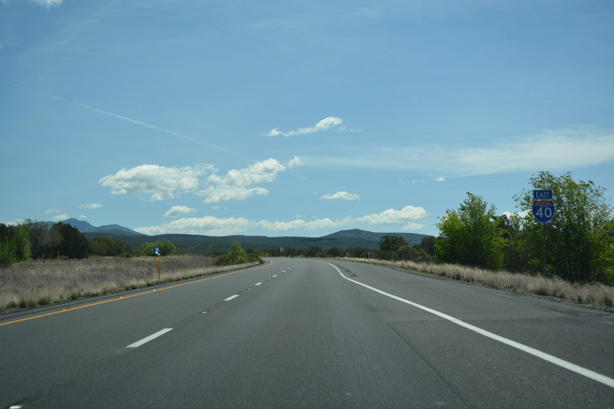
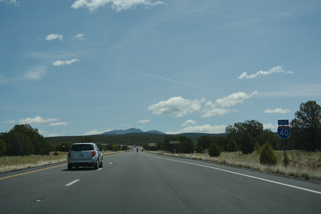
SR 89 replaced U.S. 89 south from Exit 146 to Prescott and U.S. 93 northwest of Wickenburg in 1992.
03/30/07
03/30/07
04/27/17
04/27/17
04/27/17
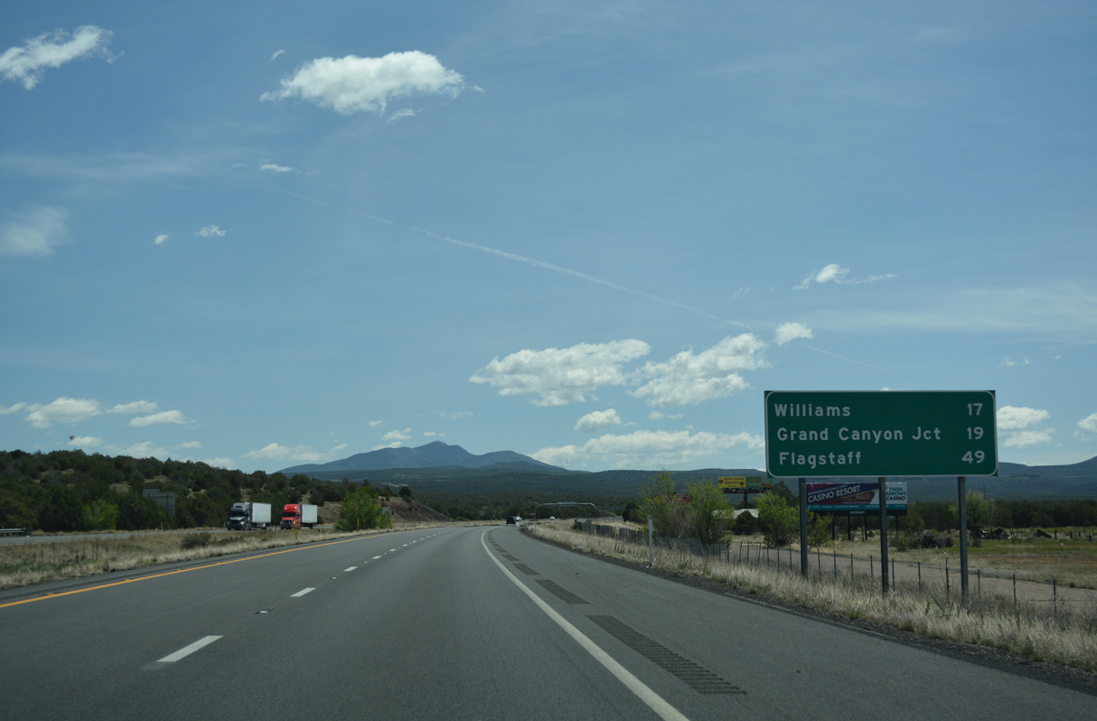
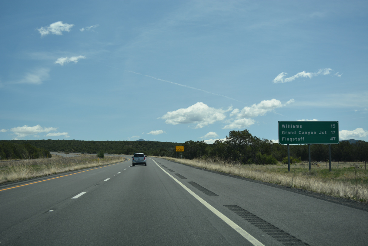
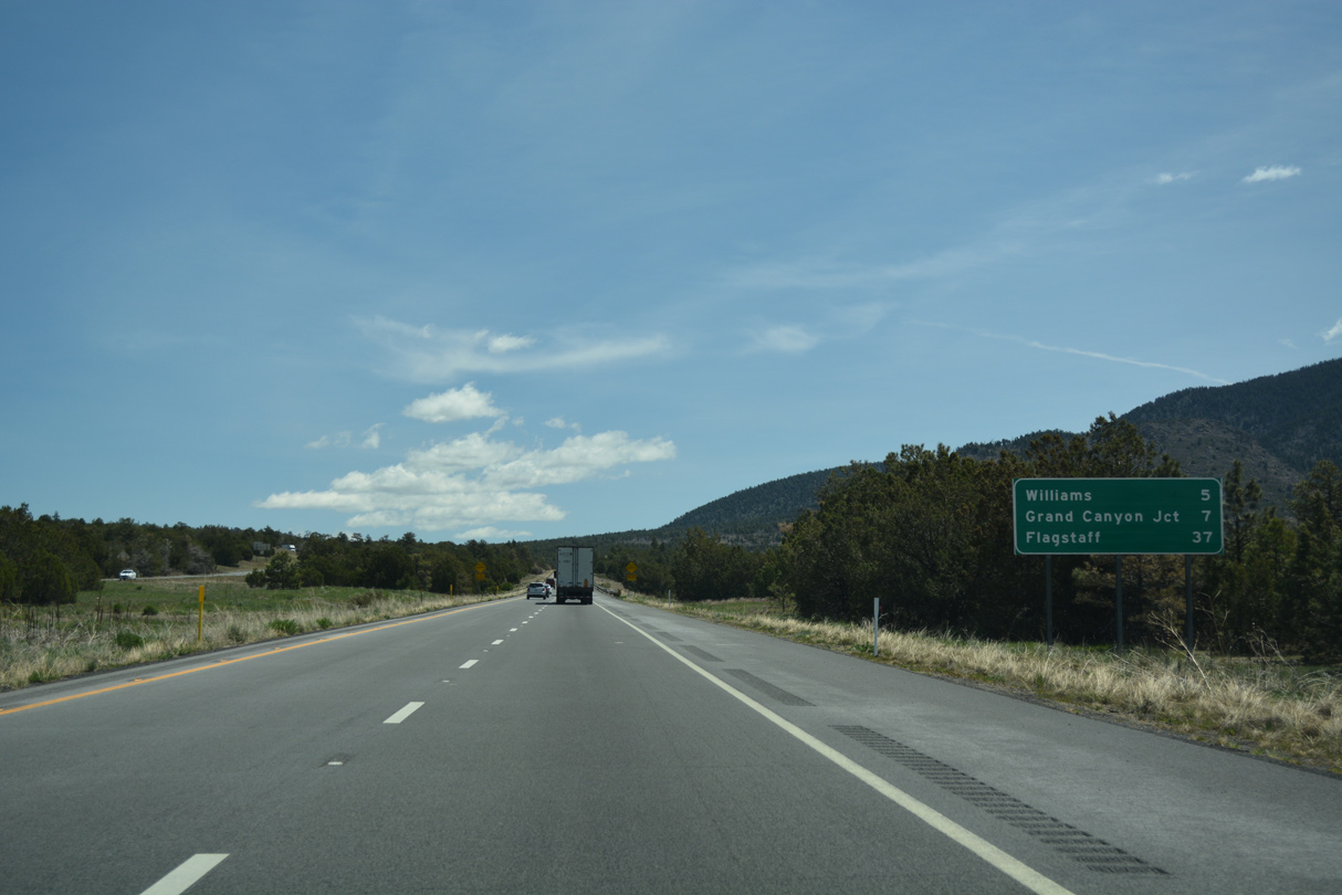
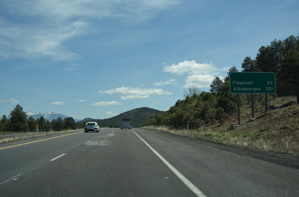
Grand Canyon Junction, where I-40 meets SR 64, is 19 miles away.
04/27/17
04/27/17
04/27/17
04/27/17

04/27/17
04/27/17

04/27/17
04/27/17
04/27/17
04/27/17
04/27/17
04/27/17

04/27/17
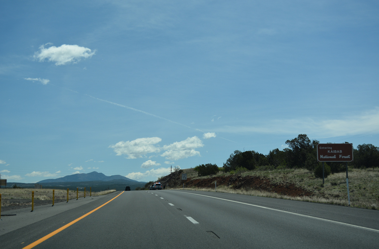
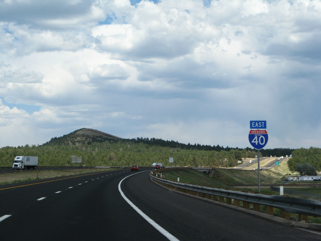
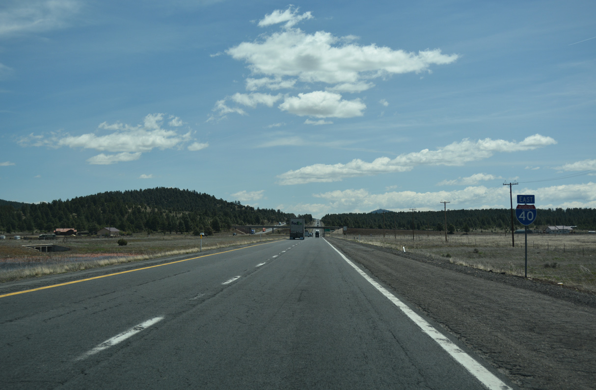
Ash Fork Hill has always been a problem for road builders. While significantly improved through modern road-building techniques, the grade along Interstate 40 is still steep and a challenge for some vehicles.
04/27/17
04/27/17
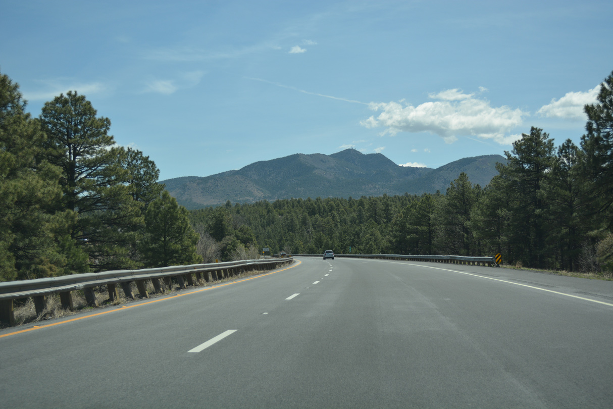
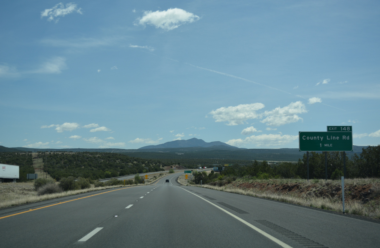
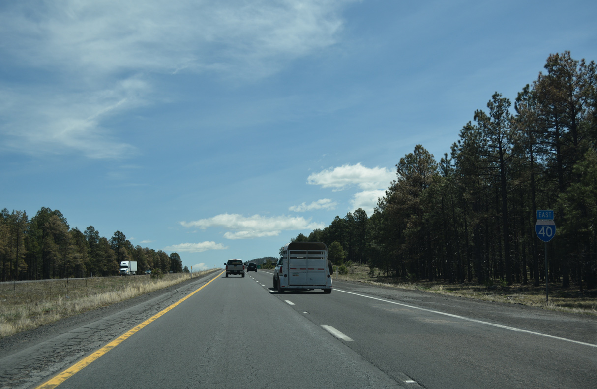
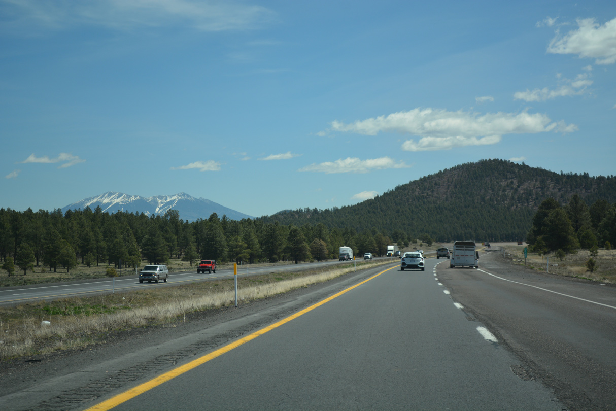
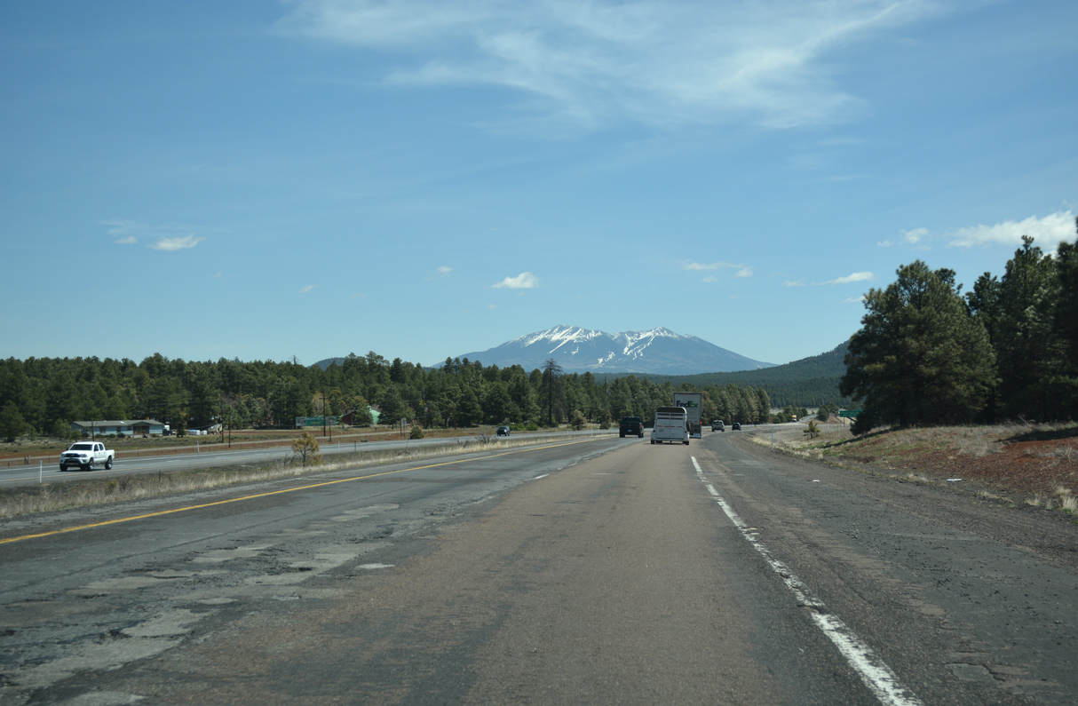
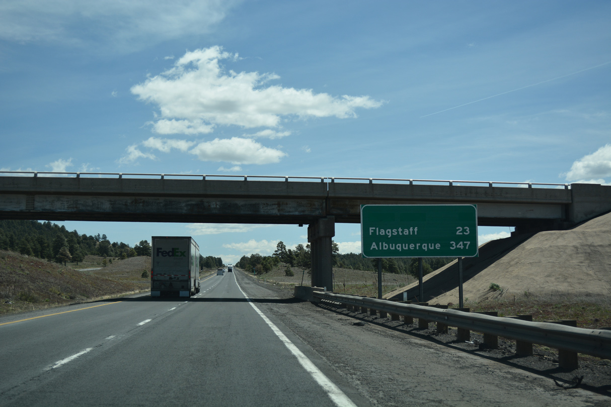
Pine forest replaces the arid brush land seen along I-40 at lower elevations. Interstate 40 remains within pine forest east until past Flagstaff, approximately 50 miles from this point.
04/27/17
04/27/17
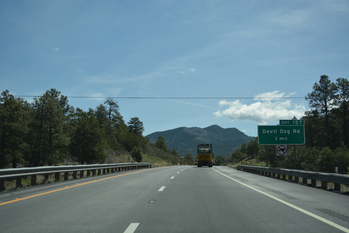
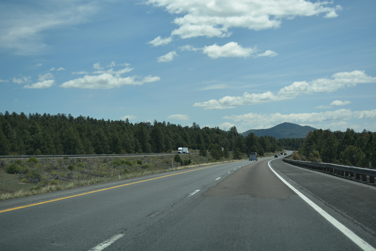
Bill Williams comes into view ahead of the right in right out (RIRO) ramps at Exit 157.
04/27/17
04/27/17
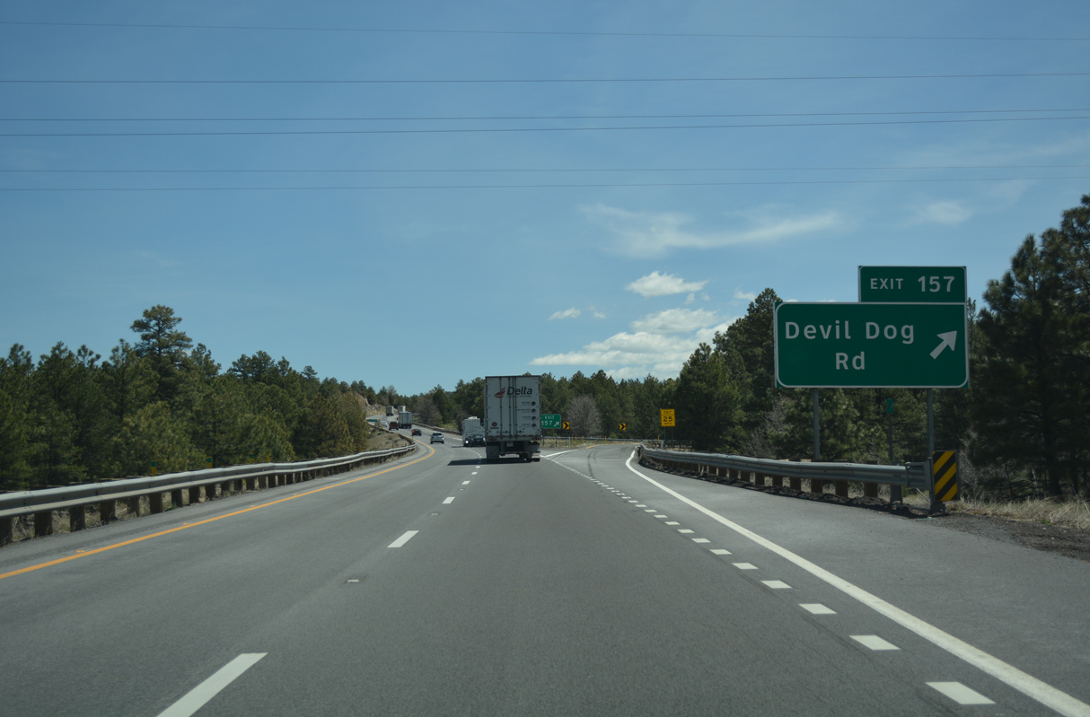
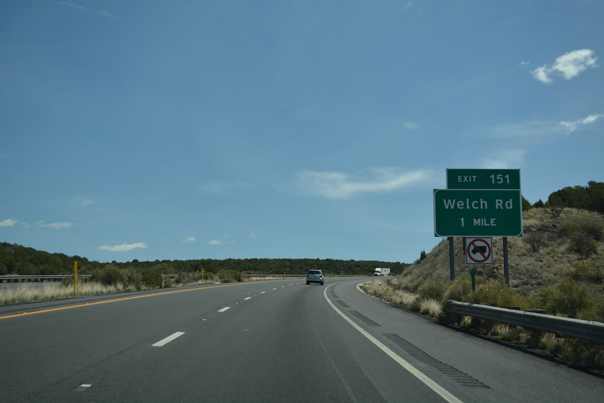
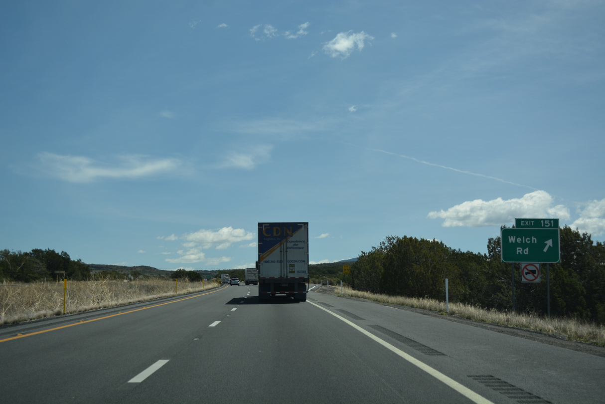
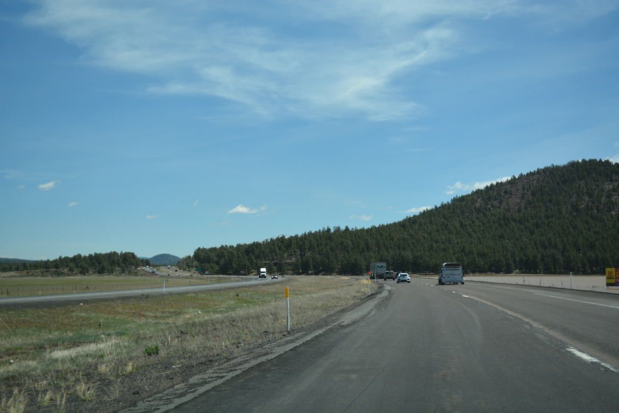
Devil Dog Road connects Interstate 40 with National Forest Roads near McLellan Reservoir.
04/27/17
04/27/17
04/27/17
04/27/17
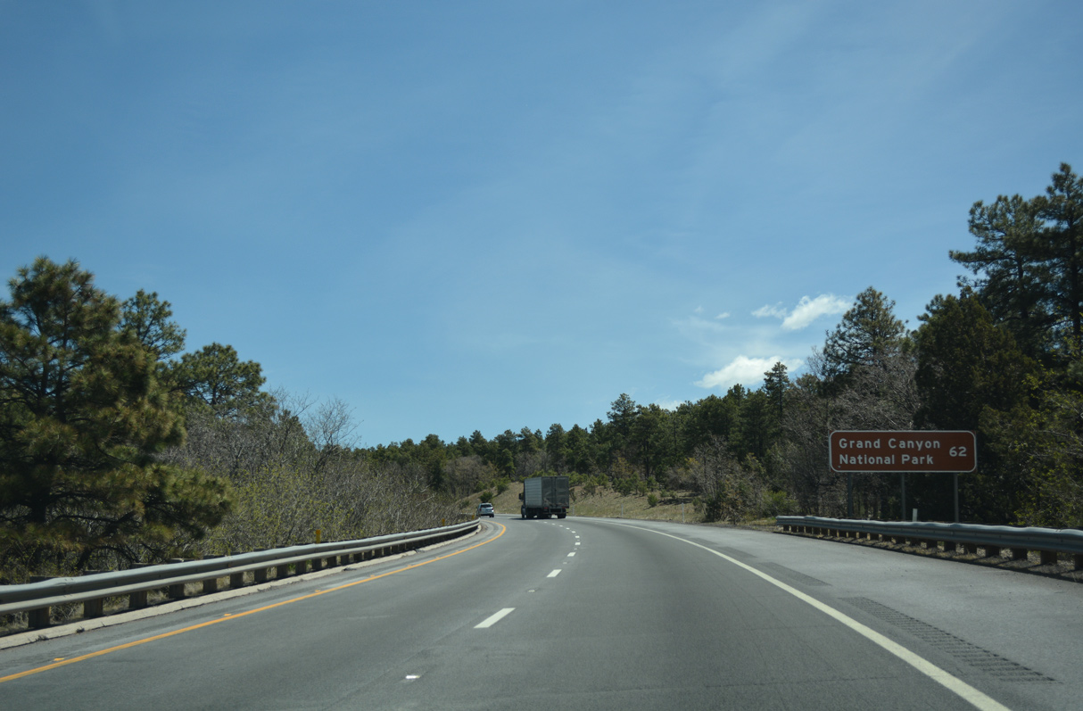
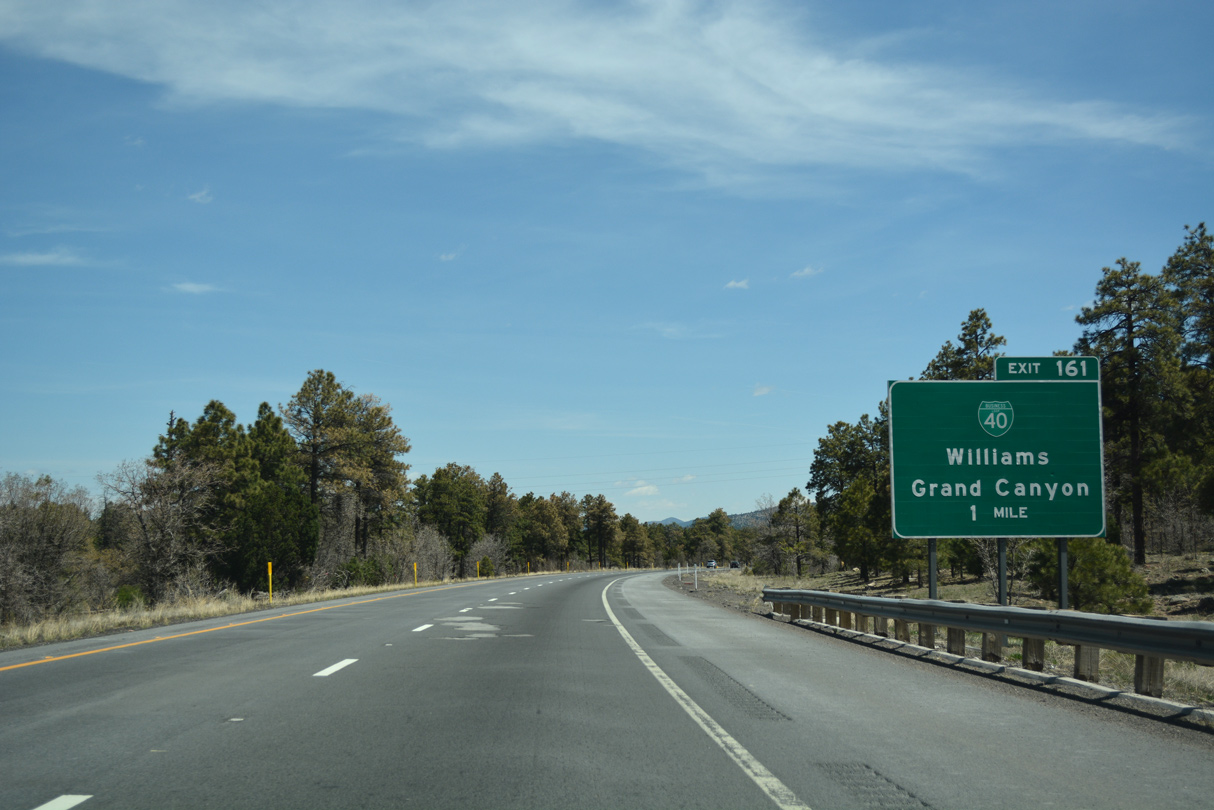
The final distance sign for Grand Canyon National Park on Interstate 40 east.
04/27/17
04/27/17
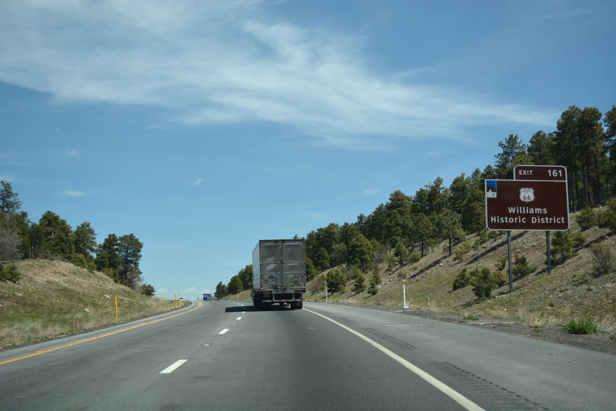
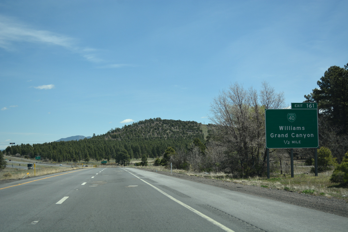
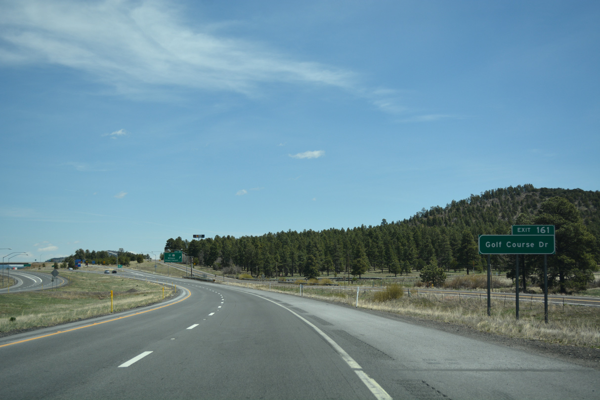
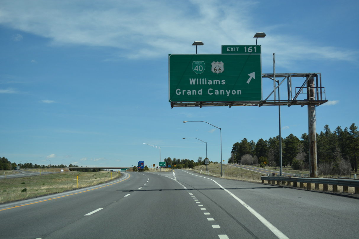
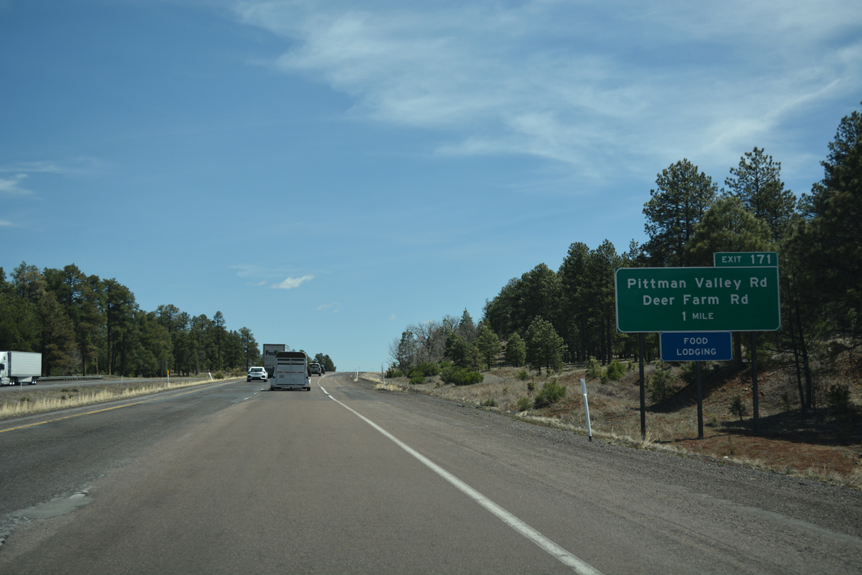
Historic U.S. 66 branches east at Exit 161 along Railroad Avenue to Downtown Williams. Historically, Williams was the primary access point from U.S. 66 to the Grand Canyon.
04/27/17
04/27/17
04/27/17
04/27/17
04/27/17
04/27/17

04/27/17
06/28/08

Passing by Gonzalez Lake, Interstate 40 bypasses the city of Williams to the north. This was the last section of Interstate 40 completed in Arizona.
03/30/07
03/30/07
03/30/07
06/28/08
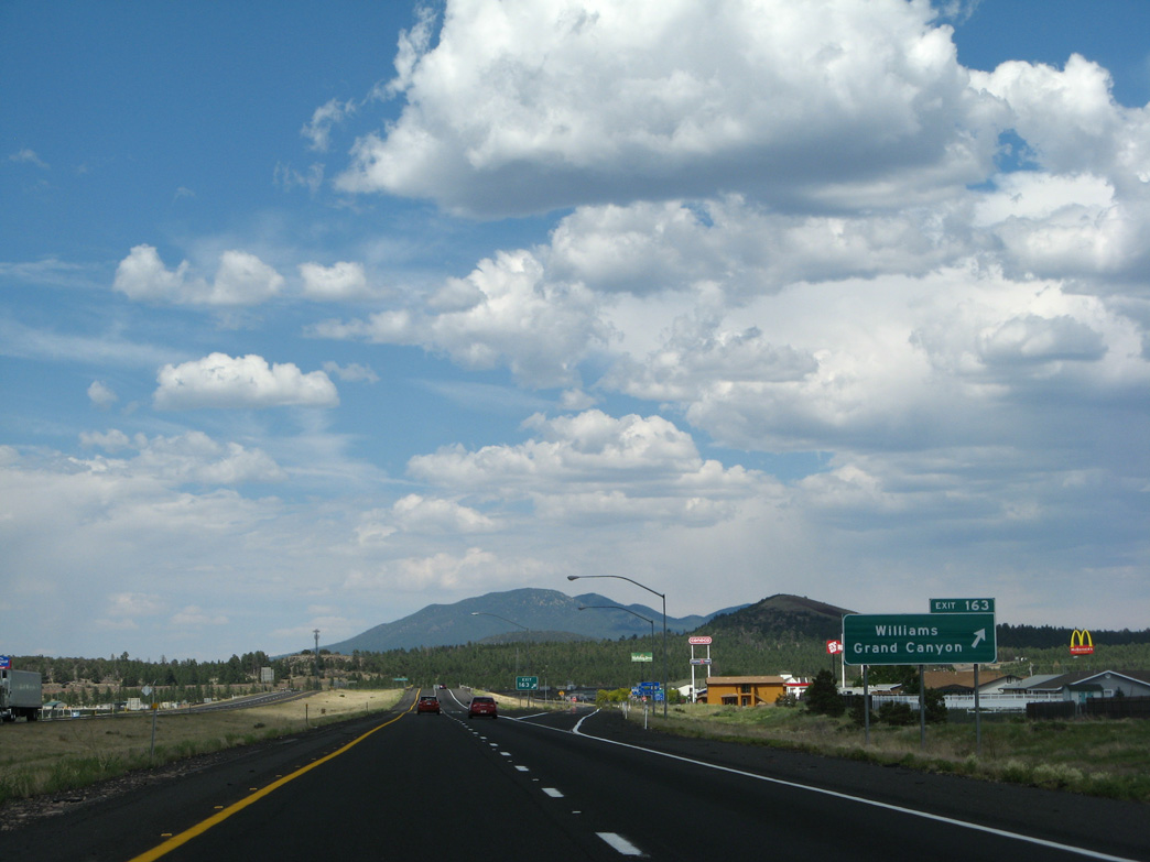
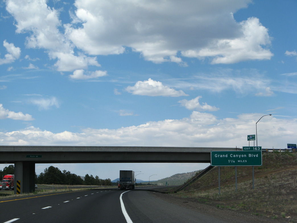
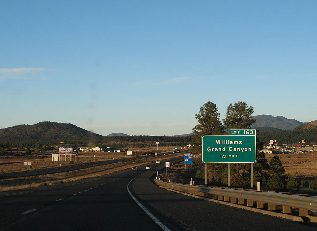
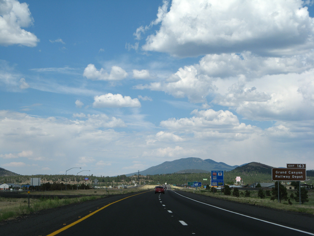
Grand Canyon Boulevard heads south from the diamond interchange at Exit 163 to Downtown Williams, and Historic U.S. 66 Business Loop by the rail station.
06/28/08
06/28/08
Interstate 40 crosses the Grand Canyon Railway and a BNSF Railroad line on the ensuing stretch.
06/28/08
06/28/08
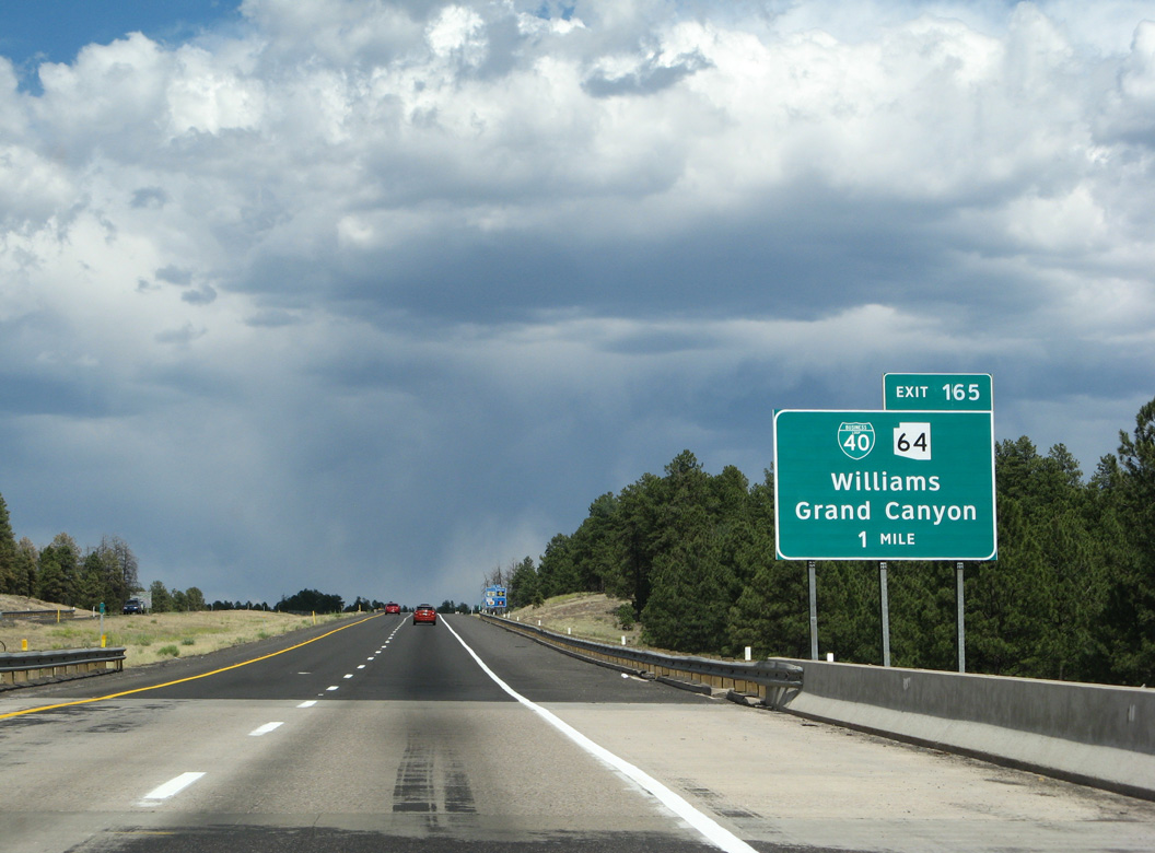
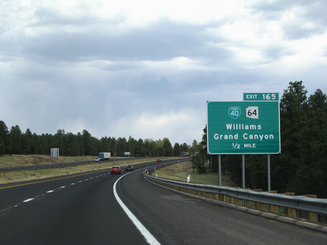
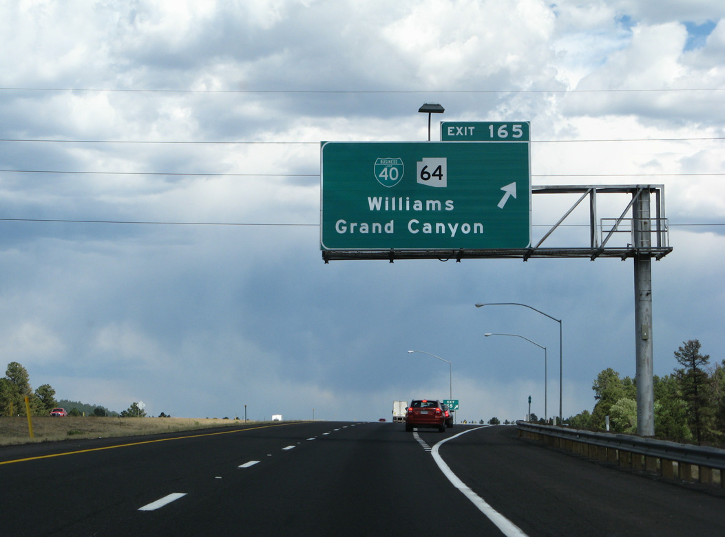
The locally maintained Business Loop I-40 returns to Interstate 40 at the diamond interchange (Exit 165) with SR 64 north to the Grand Canyon.
06/28/08
06/28/08
Following Historic U.S. 66, Business Loop I-40 is 3.88 miles in length.
06/28/08
06/28/08
SR 64 travels 50.42 miles north to Grand Canyon National Park. The eastern leg of SR 64 runs 27.62 miles from the National Park to U.S. 89 at Cameron.
06/28/08
06/28/08
04/27/17
04/27/17

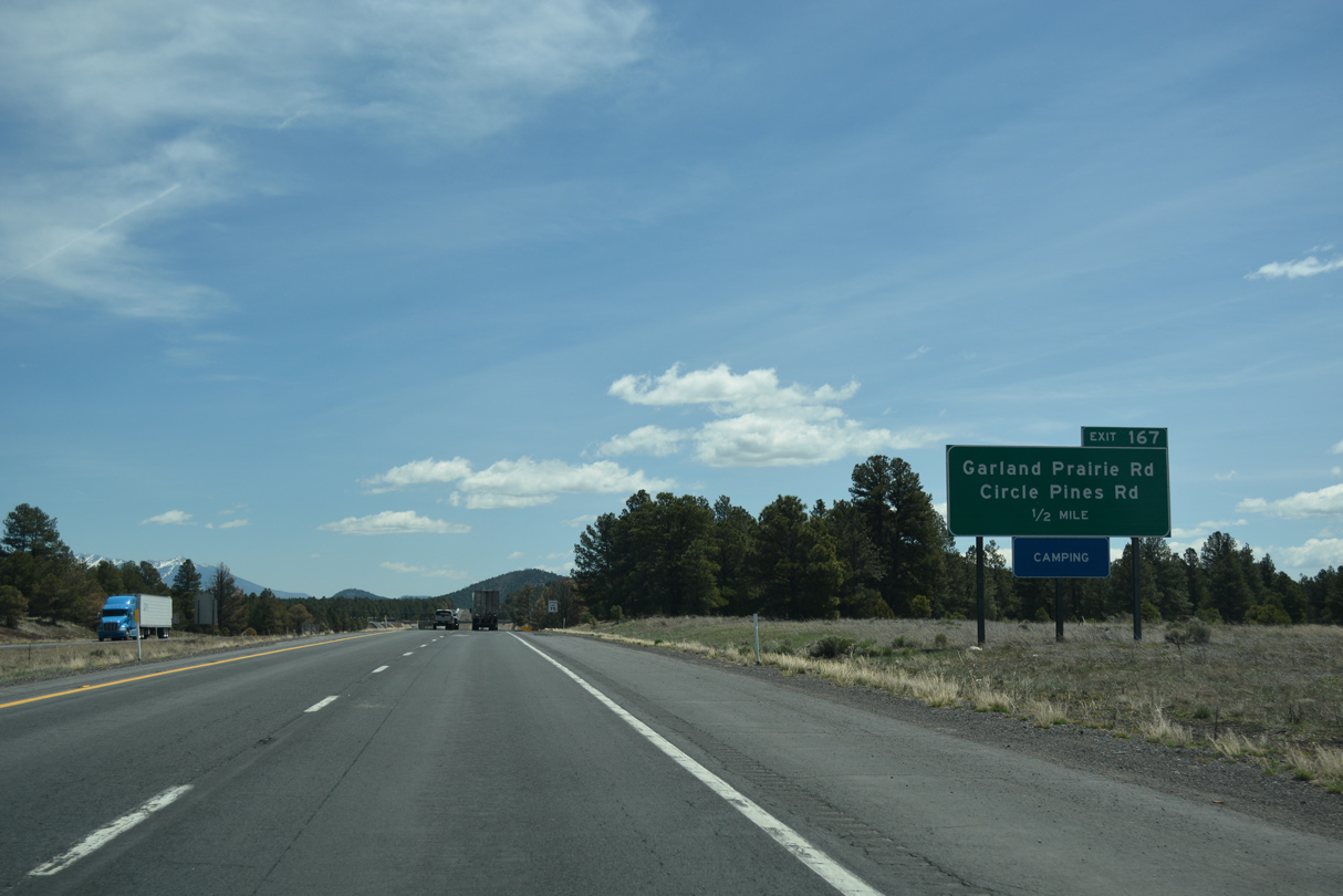
Exit 167 connects Interstate 40 with a Forest Service maintained old alignment of former U.S. 66.
04/27/17
04/27/17
04/27/17
Rest Area - 13 was removed from this distance sign.
04/27/17
04/27/17
04/27/17
Interstate 40 crosses the often dry bed of Davenport Lake just ahead of Beacon Hill (el. 7,547 feet).
04/27/17
04/27/17
04/27/17
04/27/17
04/27/17
04/27/17
04/27/17
04/27/17
04/27/17
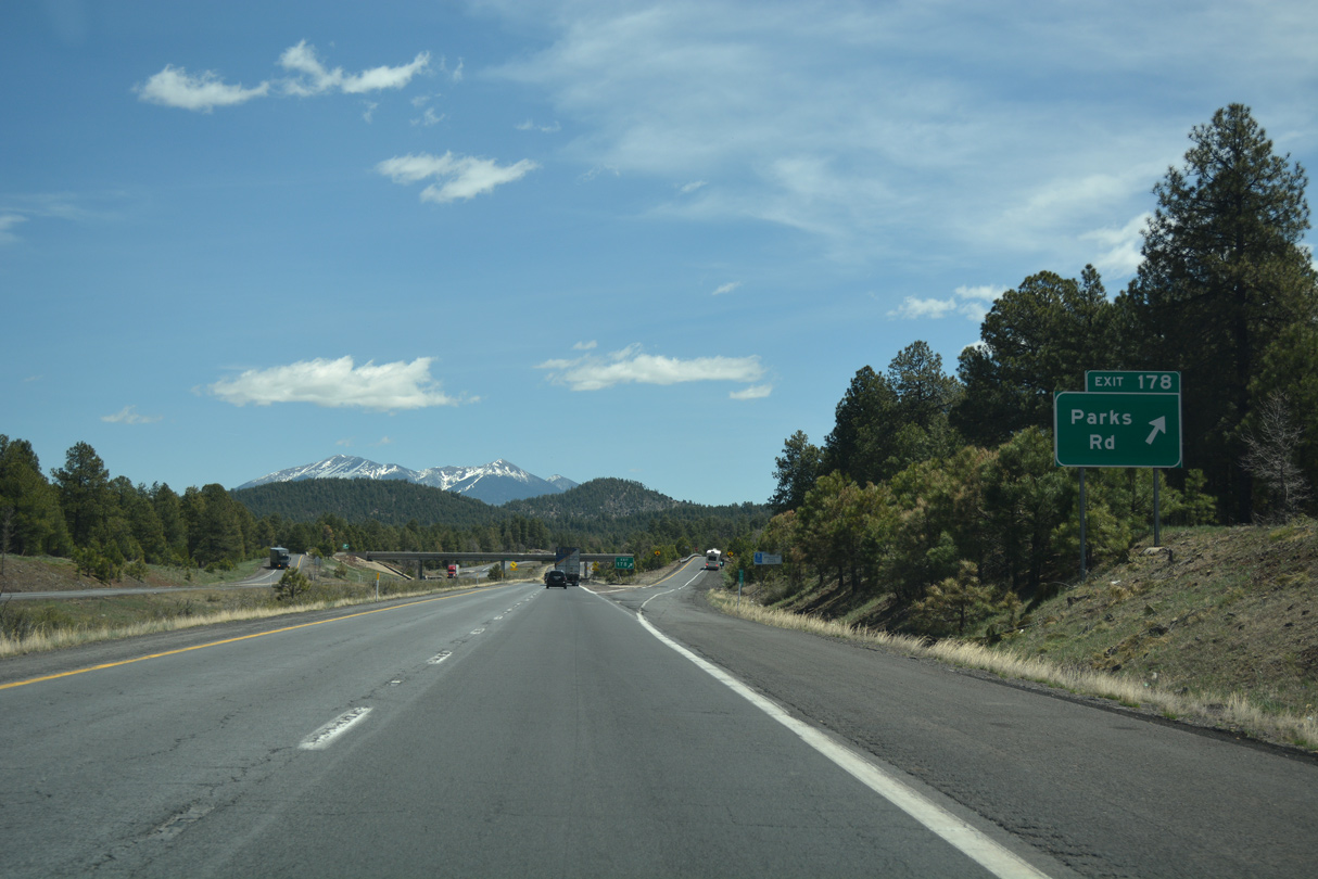
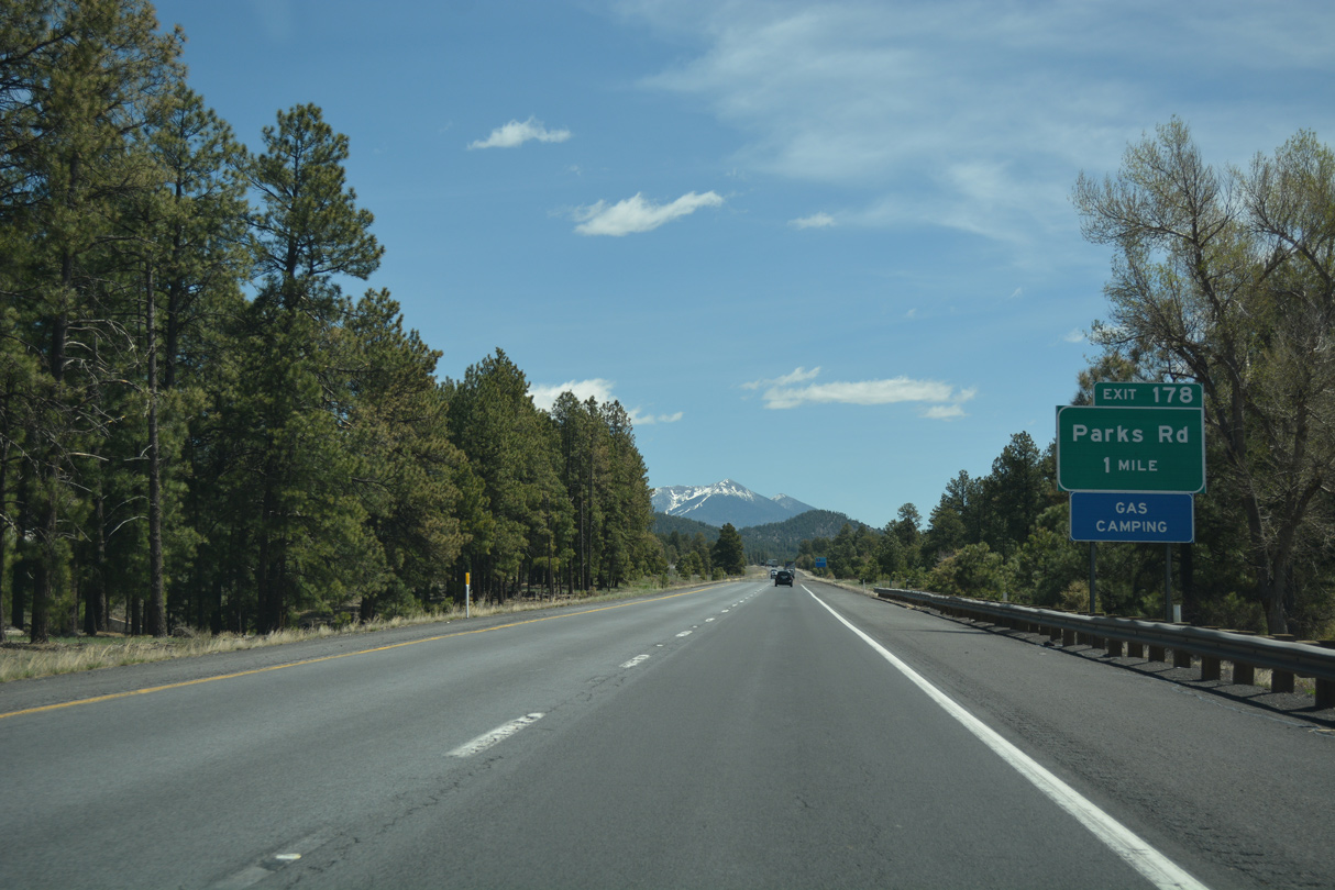
In the 1920s, the road to the Grand Canyon headed north from here. The location was selected as to not show any favoritism to Williams or Flagstaff. Little remains at Parks aside from the Parks Store.
04/27/17
04/27/17
Photo Credits:
- Kevin Trinkle: 03/30/07
- ABRoads: 04/27/17
- Andy Field: 06/28/08
Connect with:
Page Updated Wednesday March 30, 2022.