
Interstate 40 West - Bellemont to Williams
 West
West
04/27/17
04/27/17
04/27/17
04/27/17
04/27/17
04/27/17
04/27/17
04/27/17
04/27/17
04/27/17
04/27/17
04/27/17
04/27/17
04/27/17
04/27/17
04/27/17
04/27/17
04/27/17
04/27/17
04/27/17
04/27/17
04/27/17

04/27/17
04/27/17
04/27/17
04/27/17
04/27/17
04/27/17
04/27/17
04/27/17
04/27/17
04/27/17
04/27/17
04/27/17

04/27/17
04/27/17
04/27/17
04/27/17
04/27/17
04/27/17
04/27/17
04/27/17
04/27/17
04/27/17
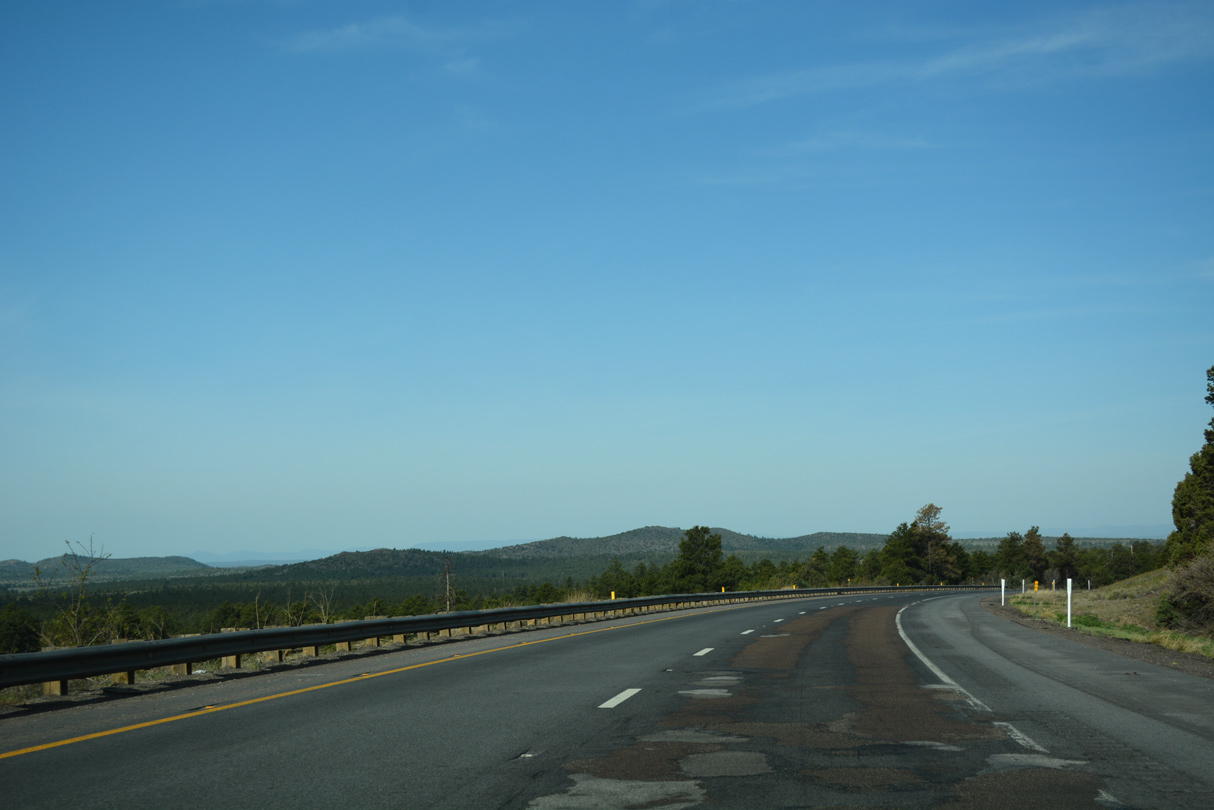
The roadways of Interstate 40 separate along the northern slopes of Bill Williams Mountain.
04/27/17
04/27/17
04/27/17
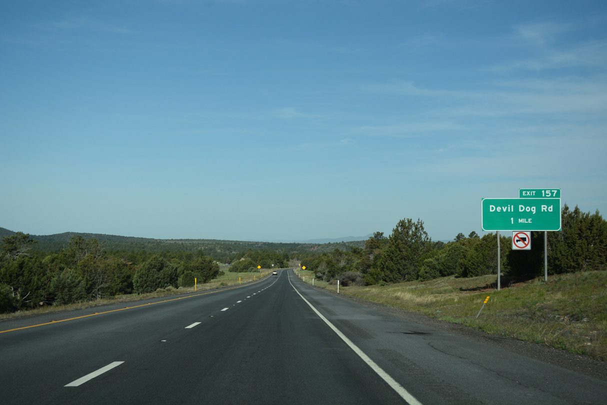
A folded diamond interchange (Exit 157) connects Interstate 40 with Devil Dog Road near McLellan Reservoir and Johnson Canyon.
04/27/17
04/27/17
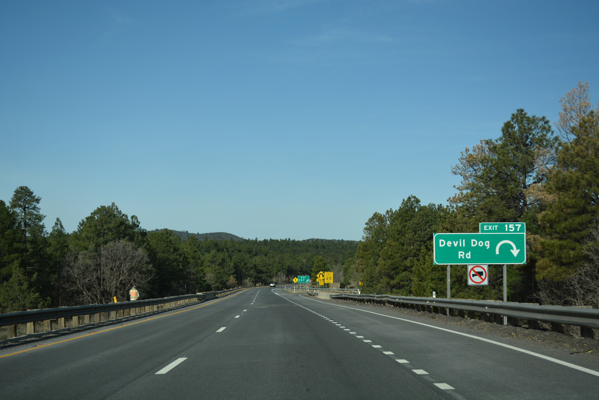
Devil Dog Road stems south from Interstate 40 to an old alignment of U.S. 66/89 within Kaibab National Forest.
04/27/17
04/27/17
Interstate 40 passes by McLellan Reservoir and Johnson Canyon to the immediate west of Devil Dog Road.
04/27/17
04/27/17
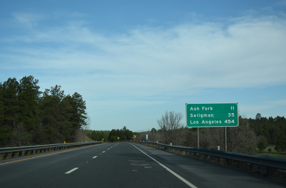
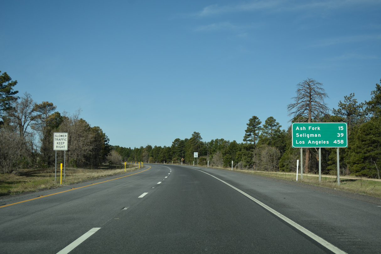
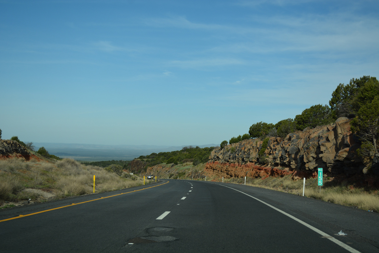
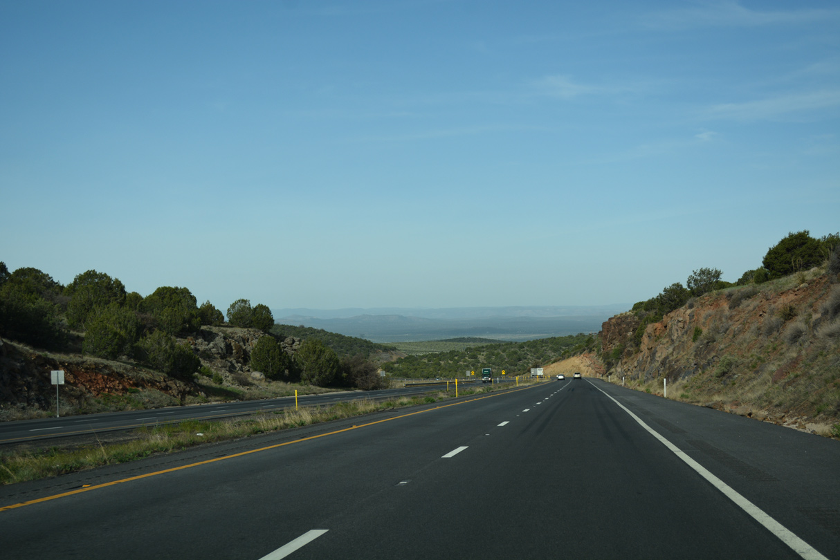
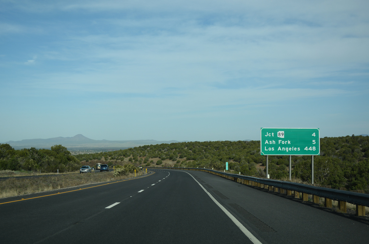
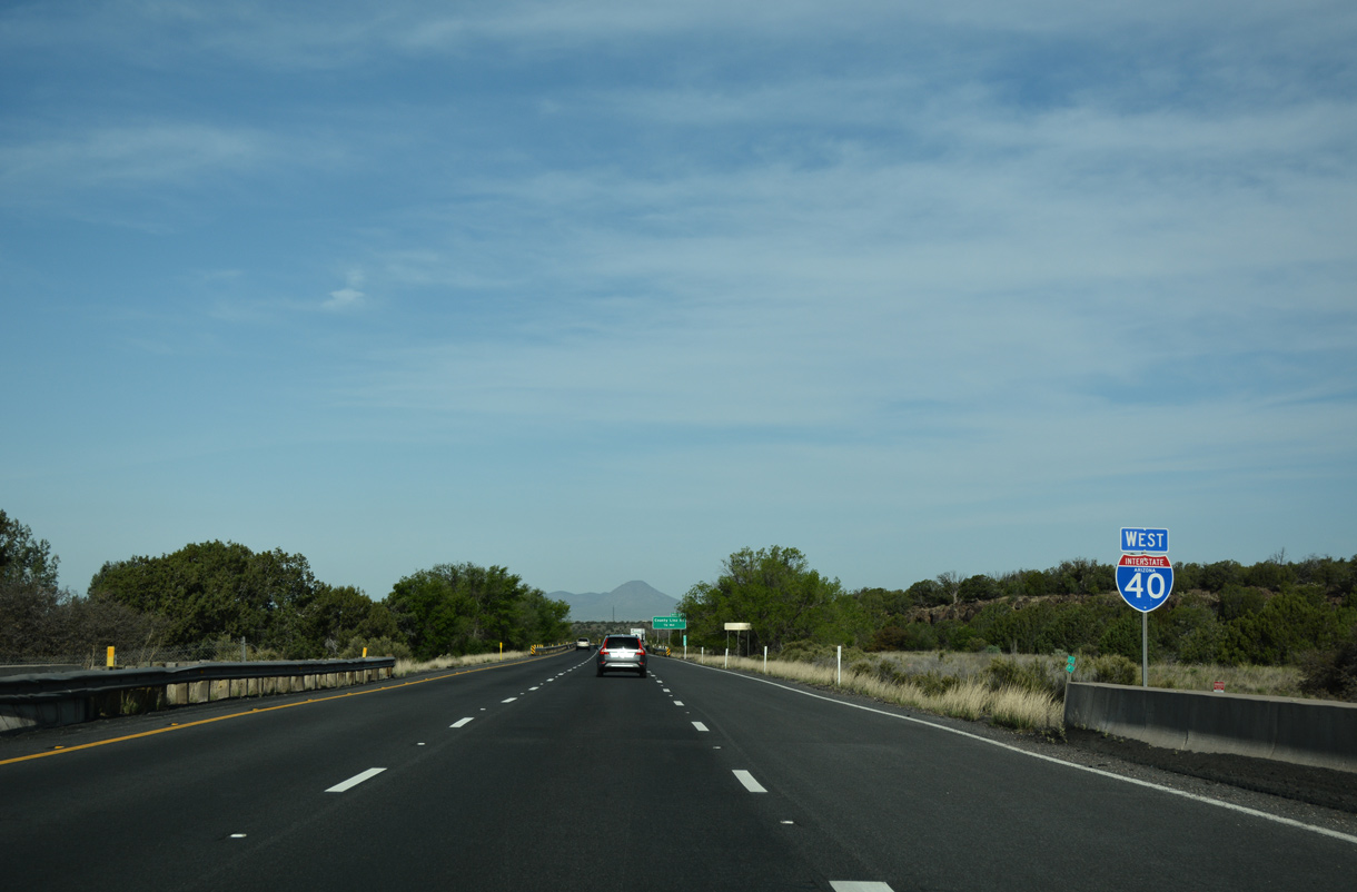
Interstate 40 starts descending out of the pine forests near Williams to the high desert at Ash Fork.
04/27/17
04/27/17
04/27/17
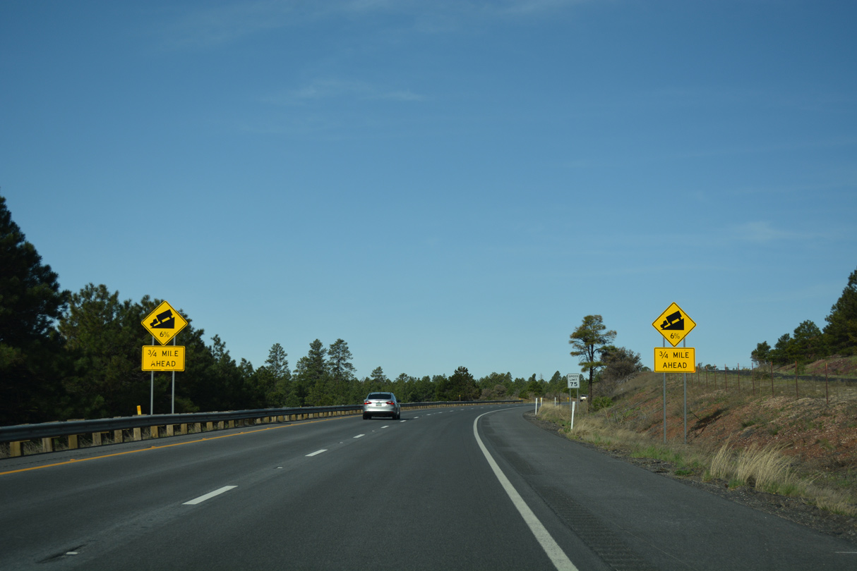
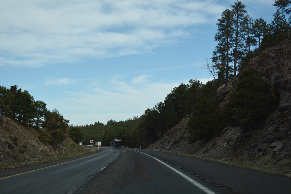
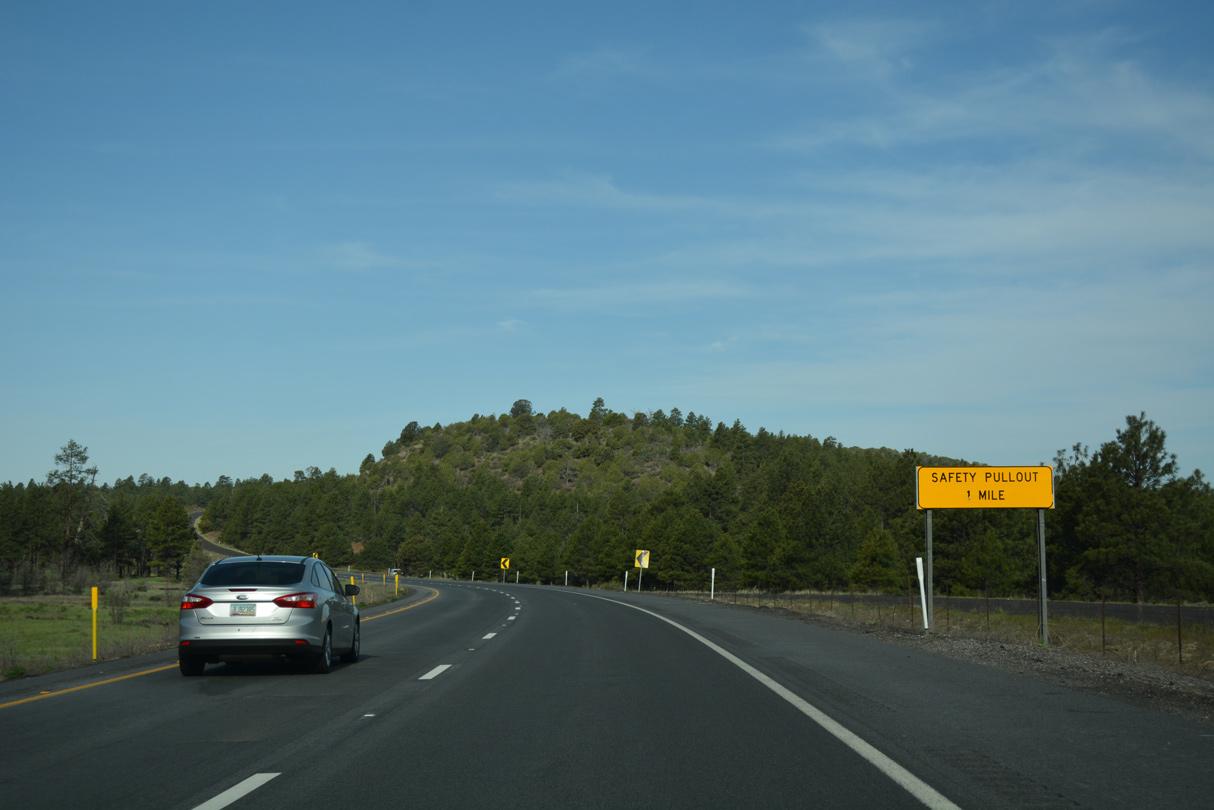
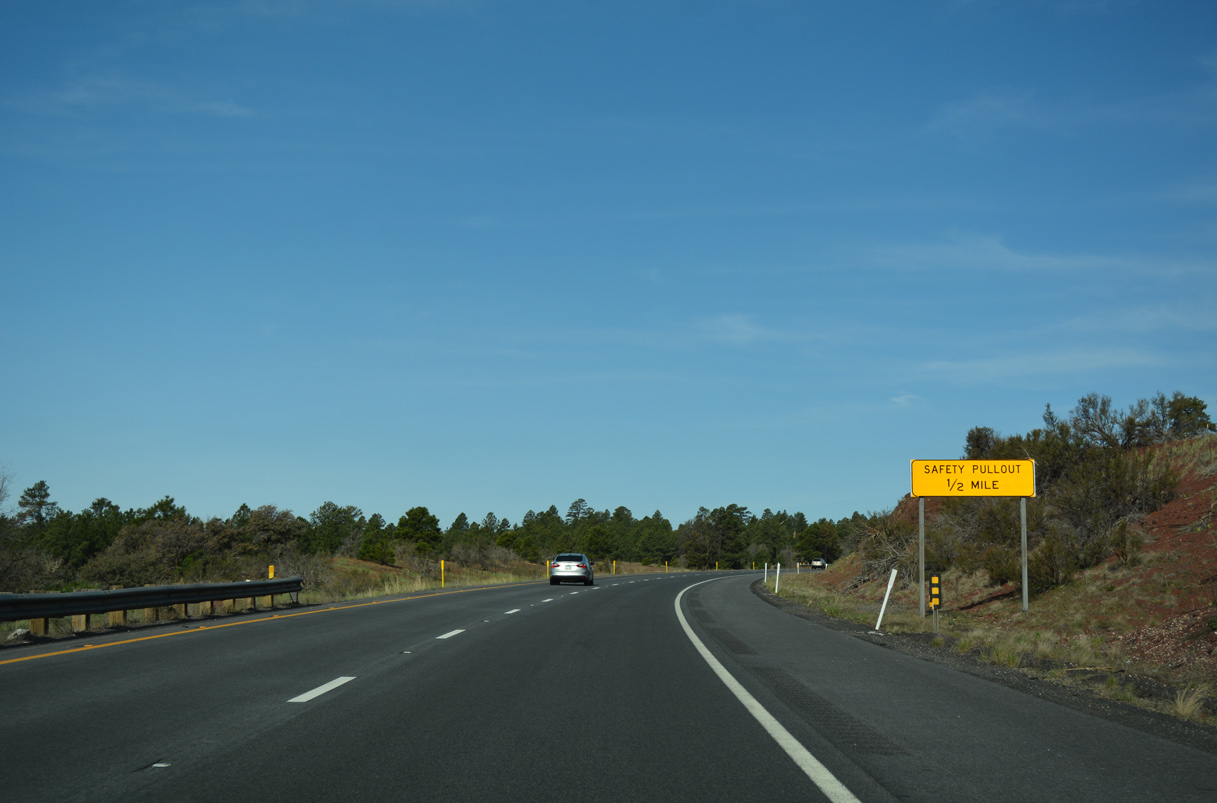
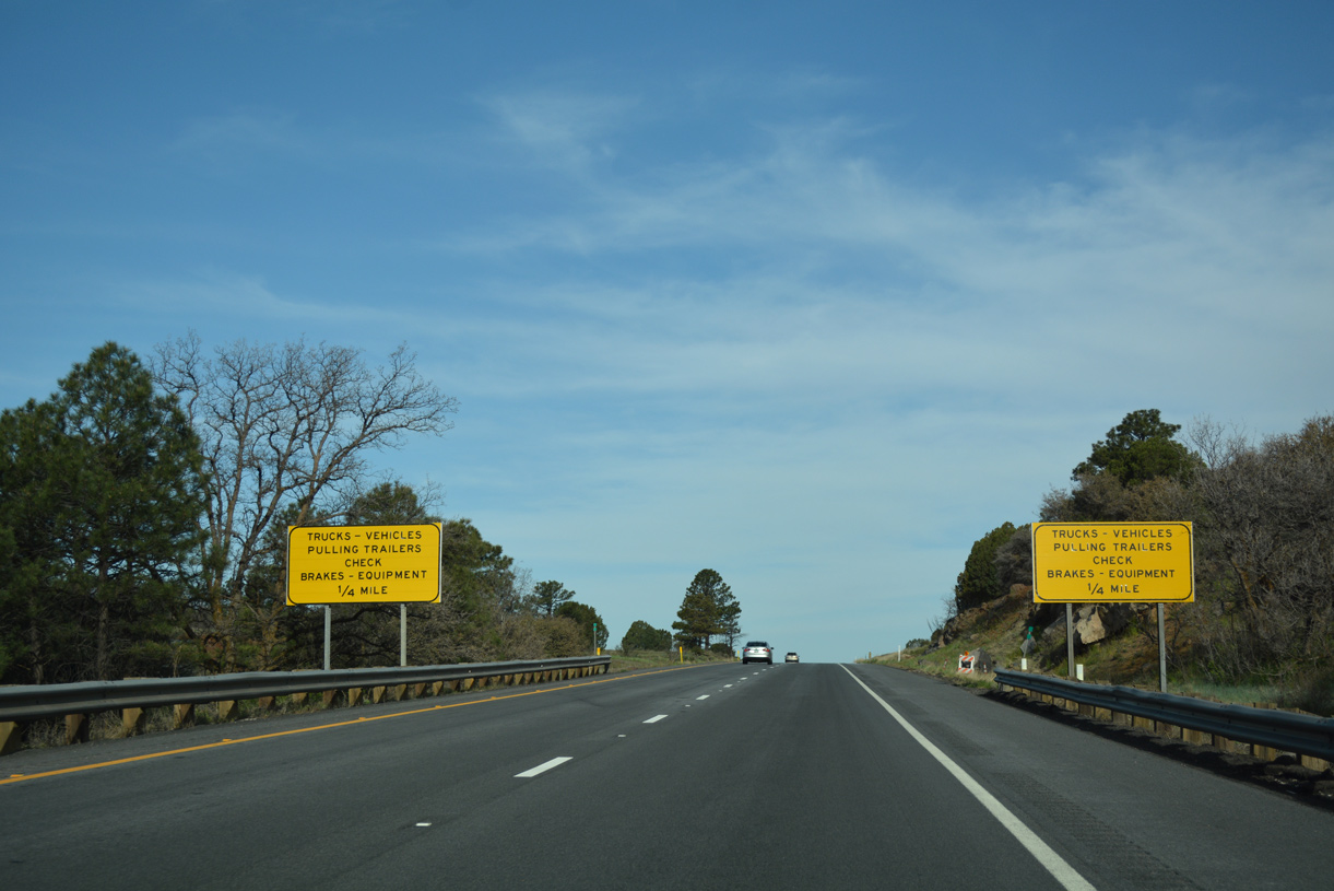
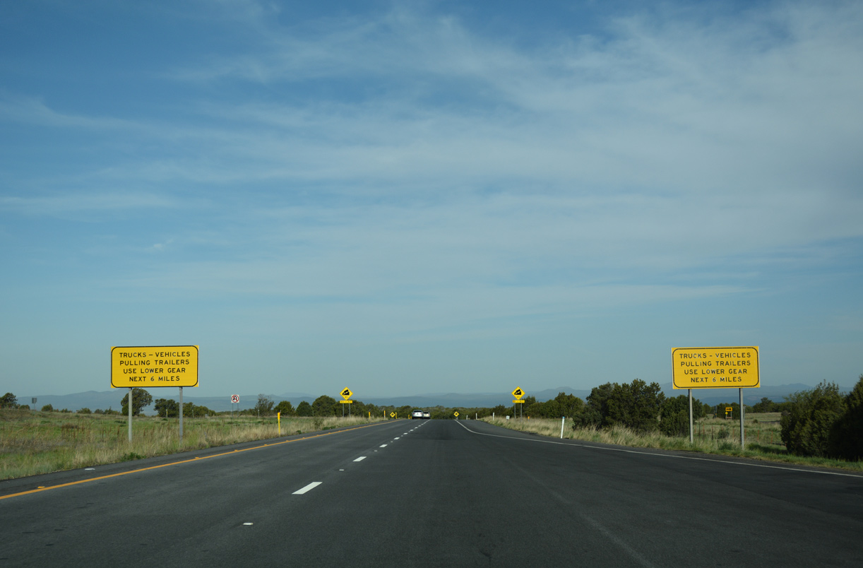
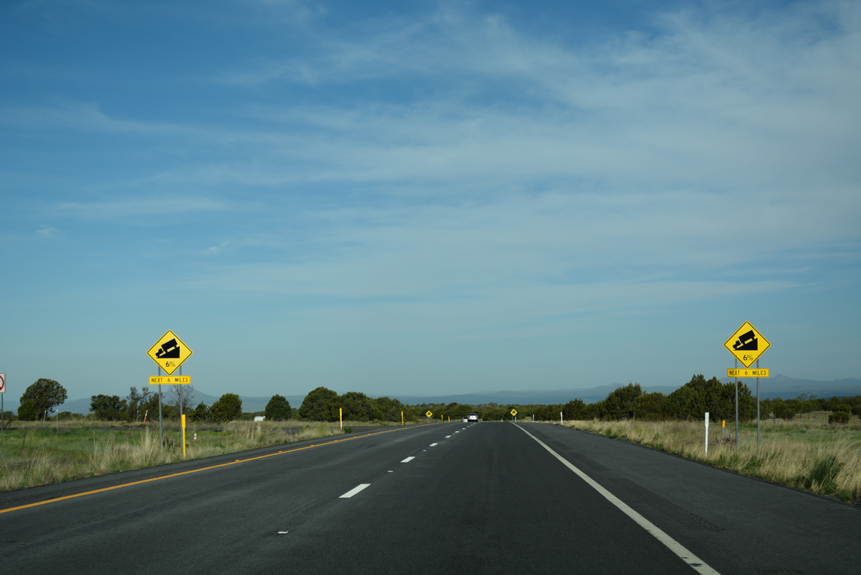
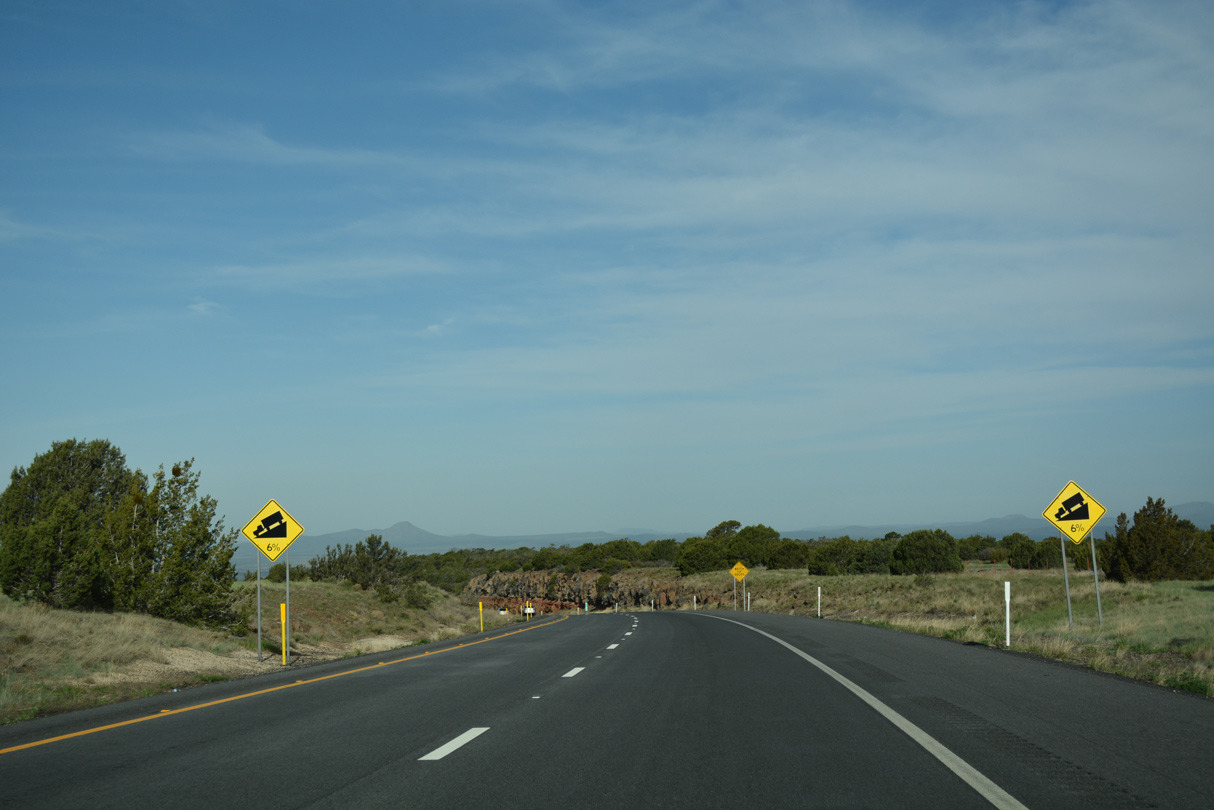
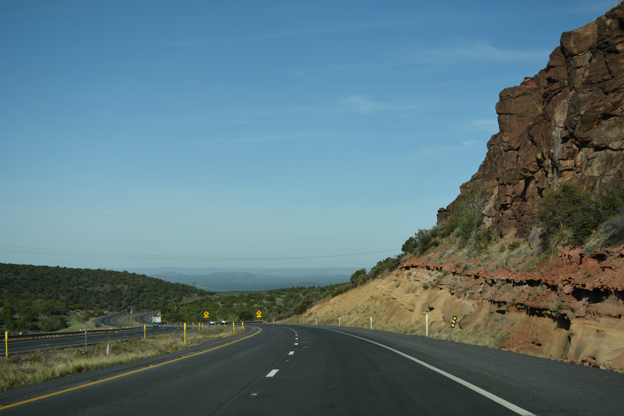
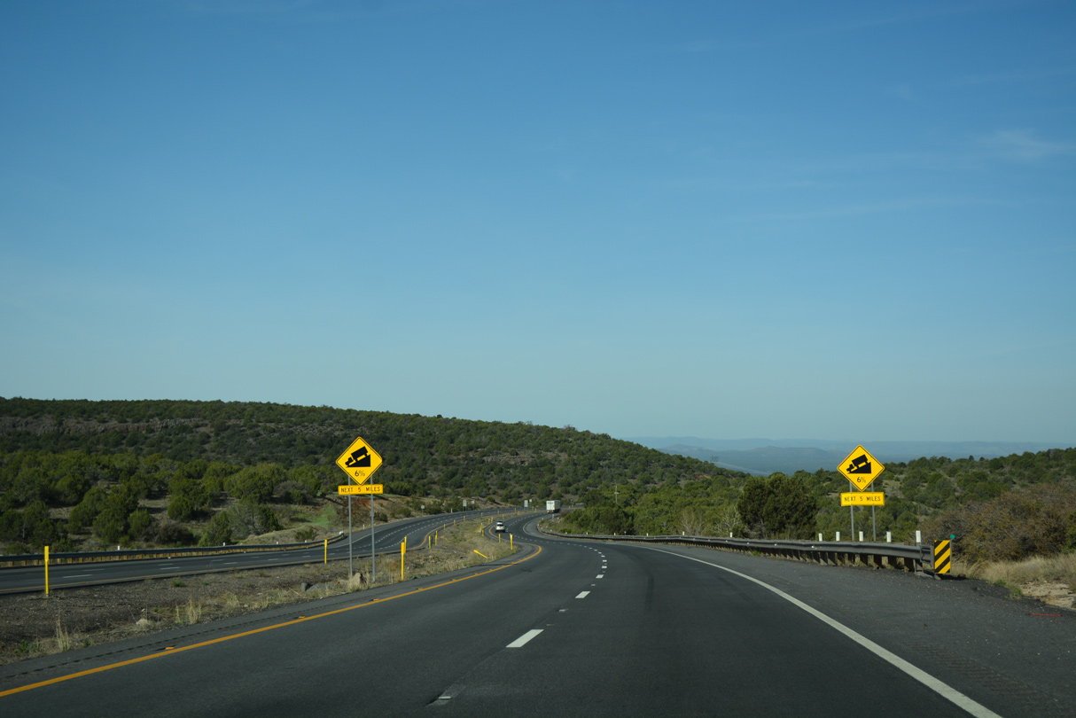
Ash Fork Hill was historically a problem for road builders. While Interstate 40 is modern, the grades along the westbound descent are fairly steep.
04/27/17
04/27/17
04/27/17
04/27/17
04/27/17
04/27/17
04/27/17
04/27/17
04/27/17
04/27/17
04/27/17
04/27/17
04/27/17
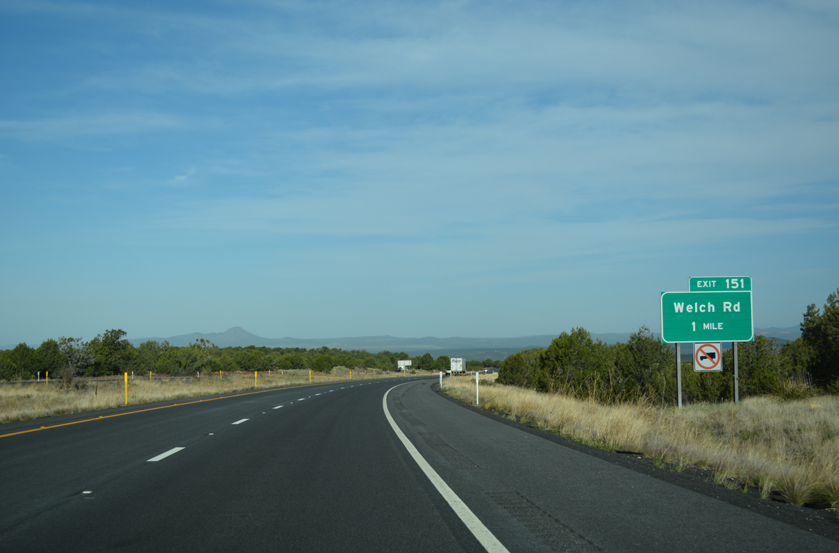
Exit 151 departs from I-40 west in one mile for Welch Road.
04/27/17
04/27/17
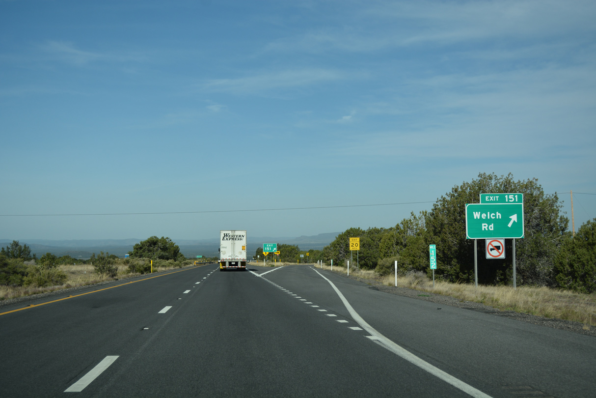
Right in right out (RIRO) ramps connect Interstate 40 with Welch Road at Exit 151.
04/27/17
04/27/17
04/27/17
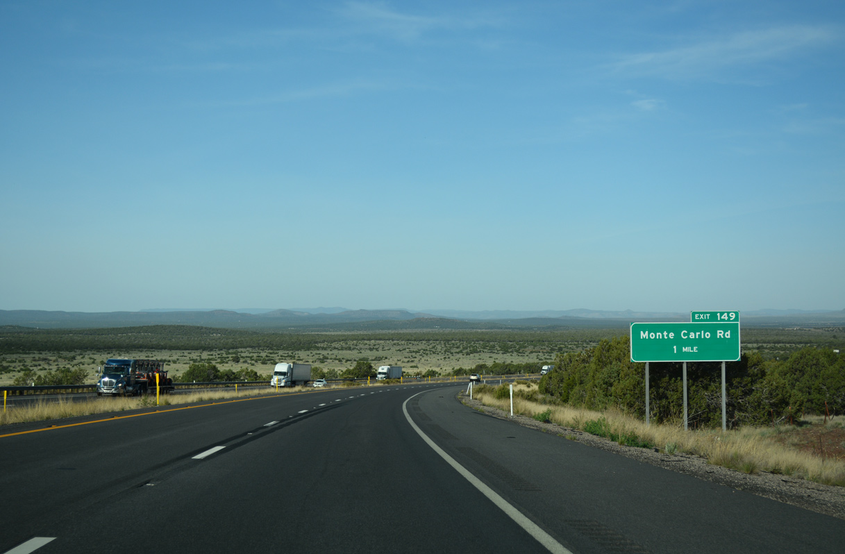
The unincorporated community of Ash Fork comes into view ahead of Exit 149. Picacho Butte rises along the western horizon.
04/27/17
04/27/17
04/27/17
04/27/17
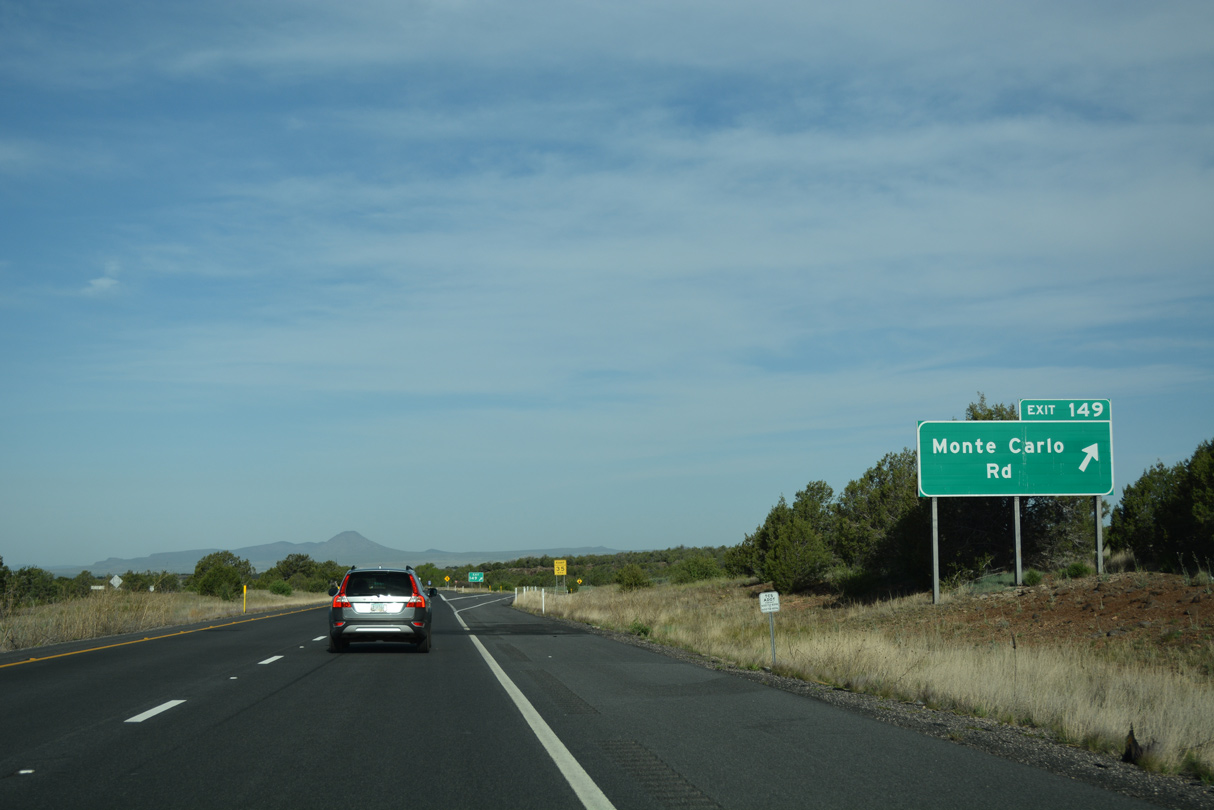
The folded diamond interchange (Exit 149) with Monte Carlo Road originally utilized RIRO ramps along I-40 westbound.
04/27/17
04/27/17
04/27/17
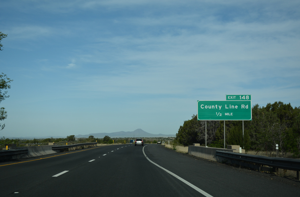
A folded diamond interchange (Exit 148) joins I-40 with County Line Road in a half mile.
04/27/17
04/27/17

04/27/17
Flattening out at the base of Ash Fork Hill, few pine trees remain along the Interstate 40 frontage.
04/27/17
04/27/17
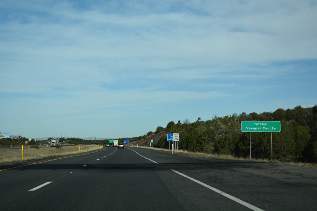
Crossing into Yavapai County
04/27/17
04/27/17

Photo Credits:
- ABRoads: 04/27/17
Connect with:
Page Updated Monday June 08, 2020.