
Interstate 64 West - Covington to West Virginia


 West
West  North
North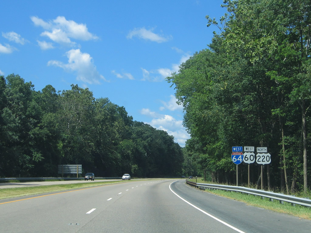
Continuing west, I-64/U.S. 60-220 follow the Jackson River closely between Forest and Horse Mountains to Mallow, Fairlawn and Covington.
06/17/05
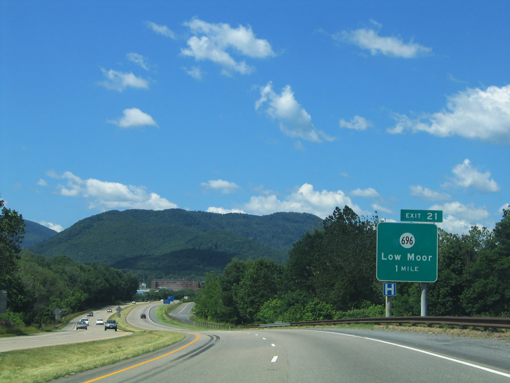
A diamond interchange joins SR 696 (Selma Low Moor Road) east with I-64/U.S. 60-220 at Low Moor. A frontage road (SR 1101 / Winterberry Avenue) leads west from the exchange to SR 1104 along old U.S. 60/220.
06/17/05
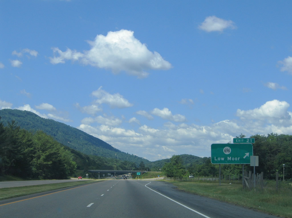
SR 696 (Selma Low Moor Road) arcs southeast from Exit 21 to SR 616 (Rich Patch Road) in Low Moor. SR 616 constitutes a Virginia Scenic Byway southwest to Oriskany, Virginia Mineral Springs and New Castle.
06/17/05
SR 1101 (old U.S. 60-220) comes into view in this westbound scene after Low Moor.
06/17/05
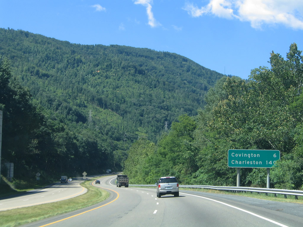
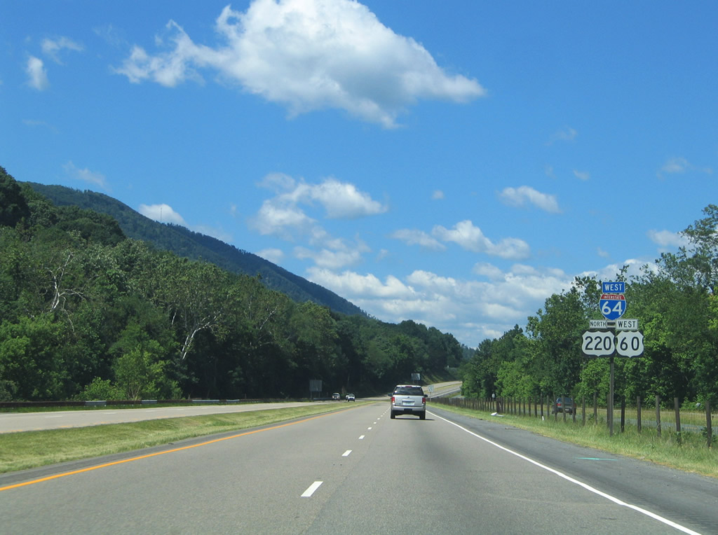
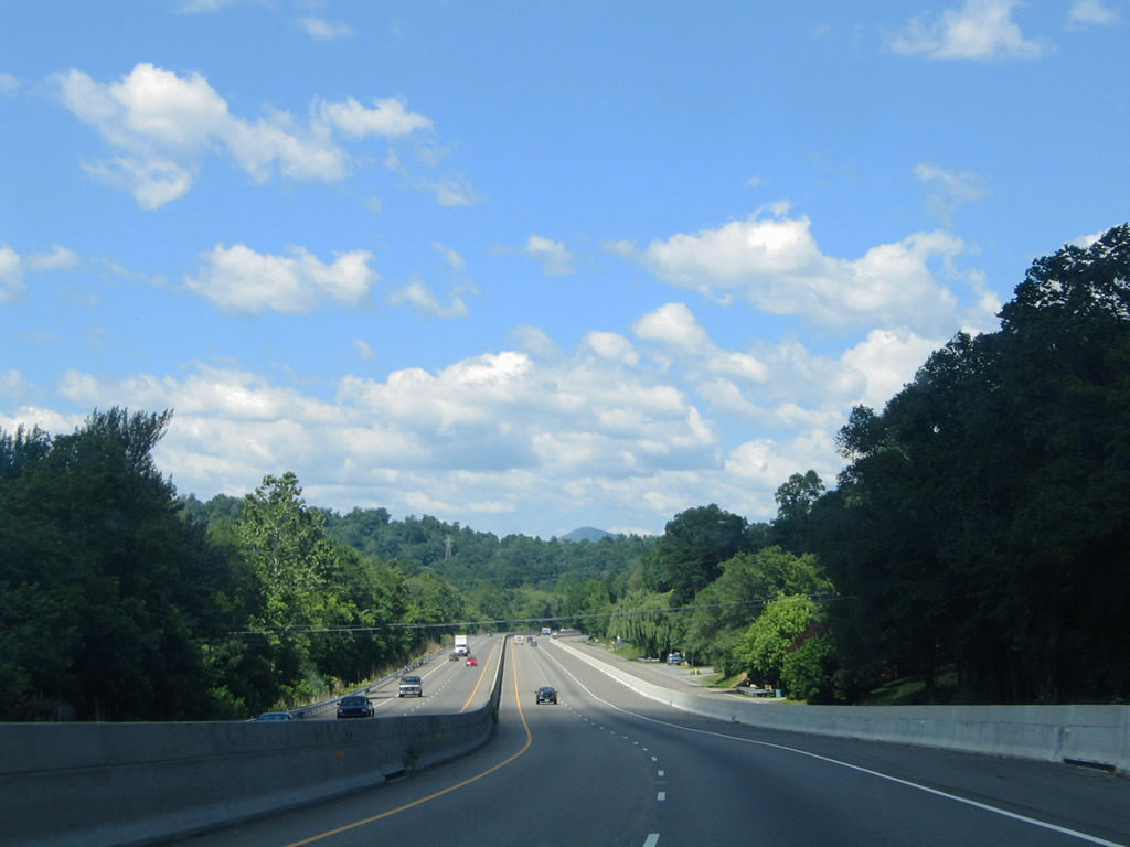
I-64/U.S. 60-220 navigate between Horse and Fore Mountains six miles west to Covington. Three interchanges serve the Allegheny County seat.
The bridges crossing the Jackson River were reconstructed and a permanent median barrier was installed near Covington during an $11.5 million project from June 2002 to Fall 2004.1
06/17/05
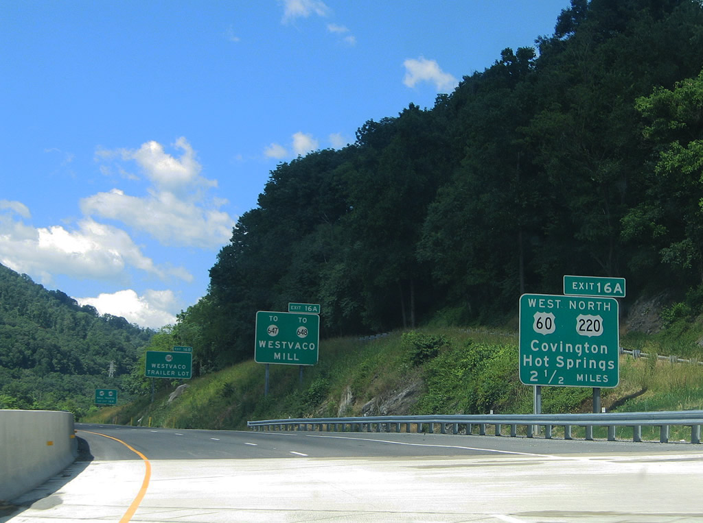
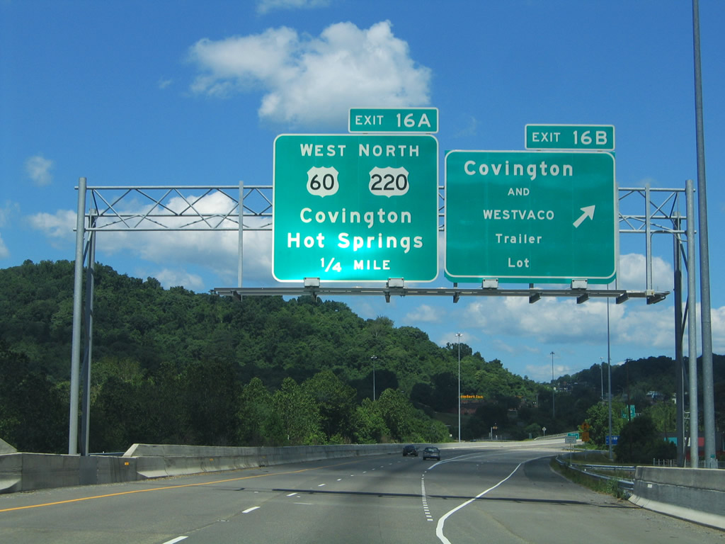
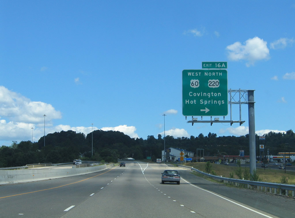
A parclo interchange joins I-64 with Madison Street (U.S. 60/220 north), SR 647 (Mallow Road) south, SR 648 (Horse Mountain View) and Valley Ridge Road (SR 1104) east at Exits 16A/B.
06/17/05
Exit 16B provides access to SR 1104 (Valley Ridge Road) east of the split with U.S. 60 /220 (Madison Street).
06/17/05
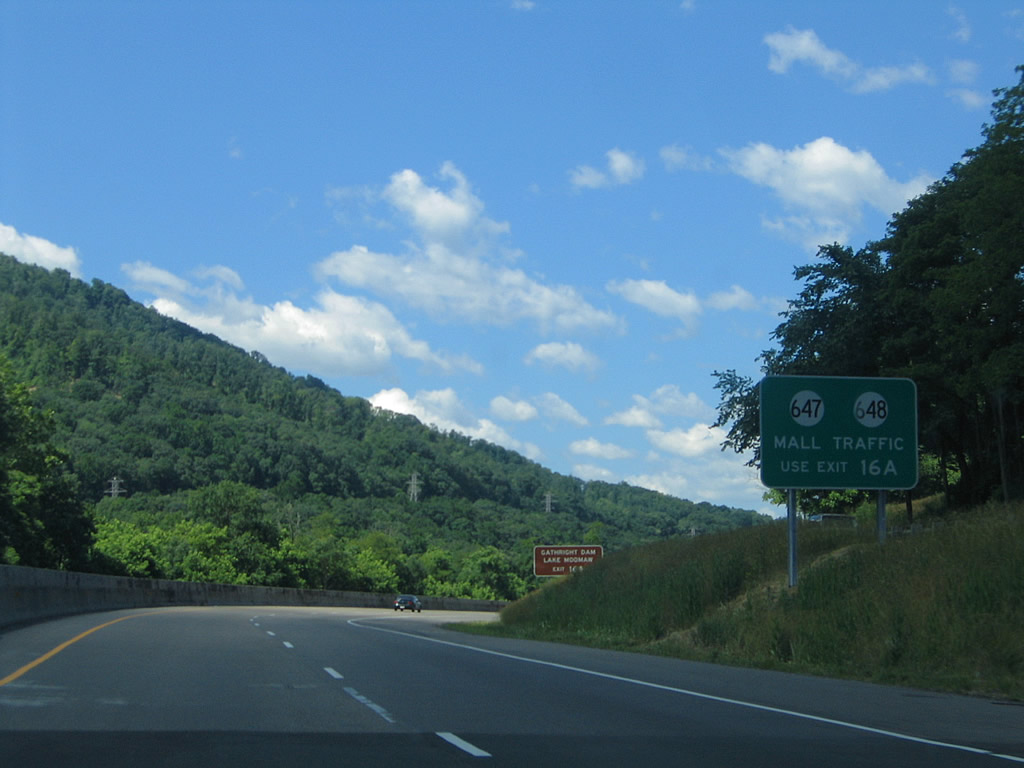
SR 648 ventures south from I-64/U.S. 60-220 via Horse Mountain View to the Highland Centre retail complex and residential areas bound by the Jackson River. SR 647 stems west from Mallow to SR 18 (Carpaneter Drive) at Edgemont.
06/17/05
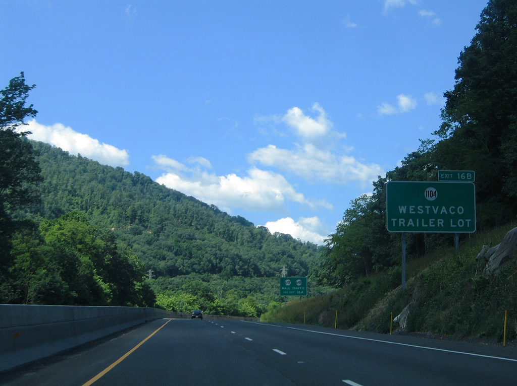
SR 1104 (Valley Ridge Road / old U.S. 60/220) lines the westbound side of I-64/U.S. 60-220 ahead of Exit 16B.
06/17/05
Exit 16B departs for the intersection of SR 1104 (Valley Ridge Road) and Smokey Bear Lane. Exit 16 originally consisted of a single ramp directly with SR 647/648.
06/17/05
U.S. 60 west / U.S. 220 north follow Madison Street west into the city of Covington. The two split at the intersection of Alleghany Avenue and Monroe Street, with U.S. 220 exiting the city to Hot Springs, Warm Springs and Monterey.
06/17/05
West
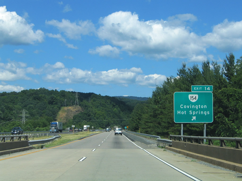
Weaving between Fairlawn, Mallow and Edgement, Interstate 64 next meets SR 154 (Durant Road) at a folded diamond interchange (Exit 14).
06/17/05
SR 154 winds 1.92 miles northward from Exit 14 along Durant Road, Craig Avenue, Locust Street, Lexington Avenue, Riverside Street and Magazine Avenue to U.S. 220 (Alleghany Avenue) at Rivermont in north Covington.
06/17/05
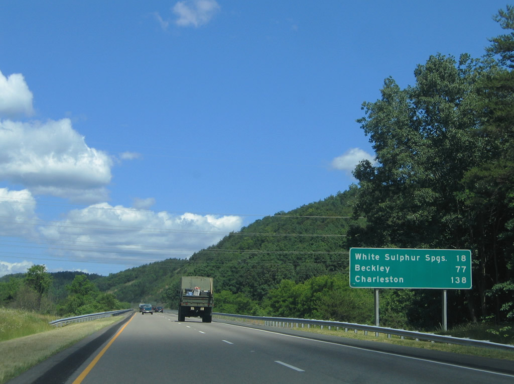
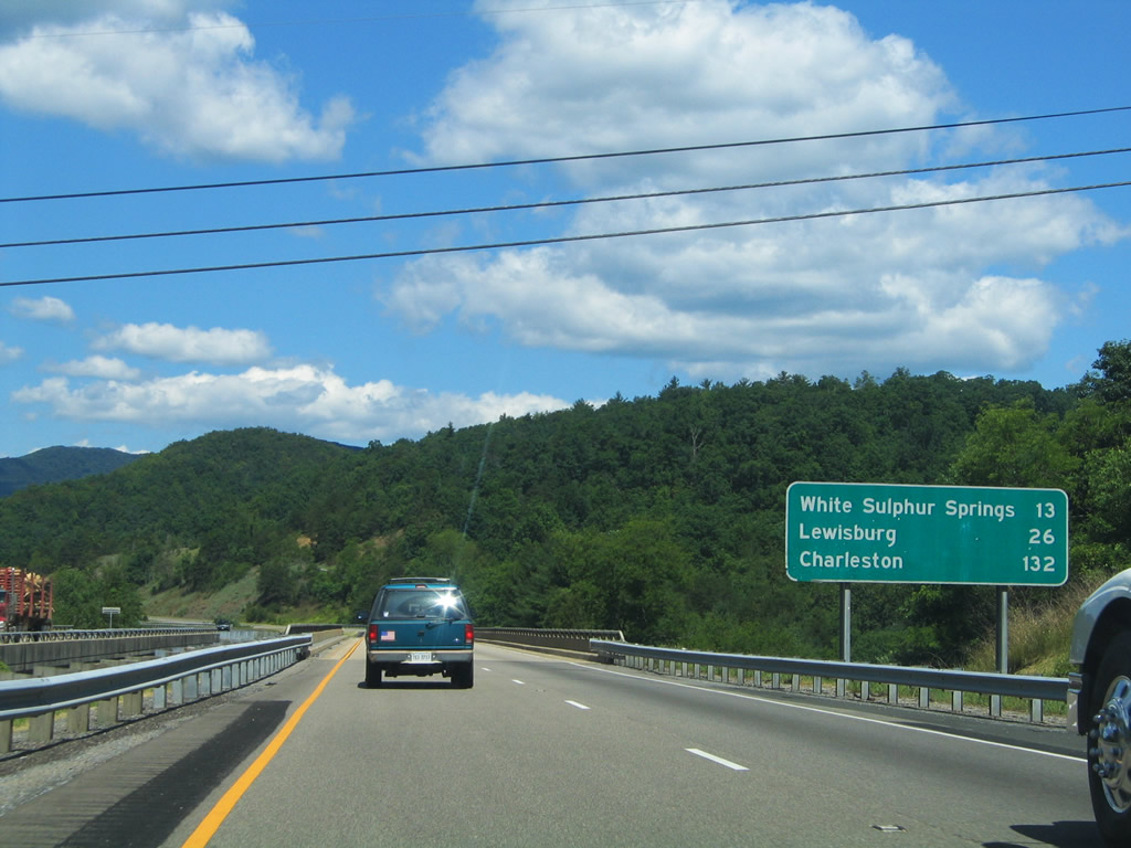
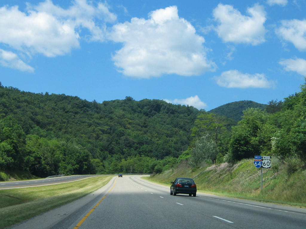
White Sulphur Springs, West Virginia is the next control city for Interstate 64 west from Covington. Beckley, where I-64 meets I-77, is 77 miles away.
06/17/05
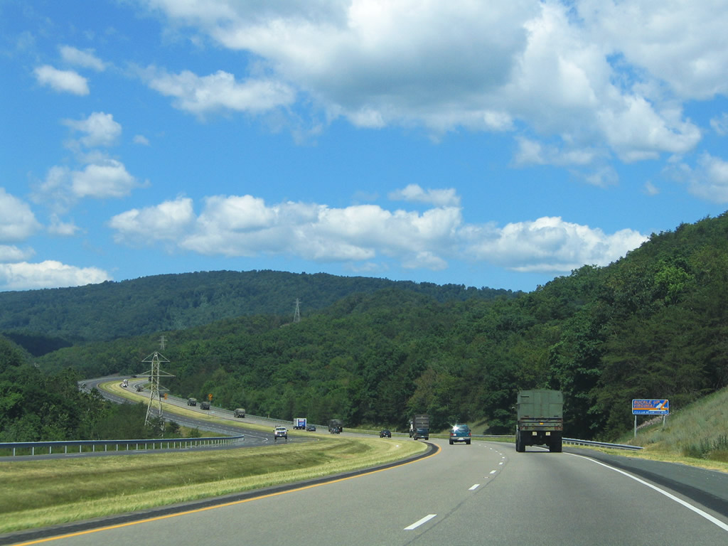
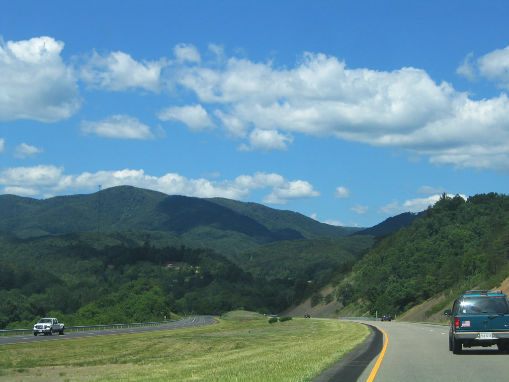
Leaving the Covington area on the westbound drive toward Peters Mountain and Callaghan.
06/17/05
U.S. 60 exits Covington along Midland Trail through Oakwood Forest, Westwood Place and Dunlap Beach to again join I-64 west at Exit 10. U.S. 60 connects with Humpback Bridge, a wooden arched covered bridge spanning Dunlop Creek.
06/17/05
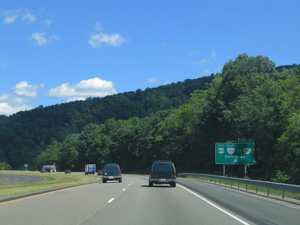
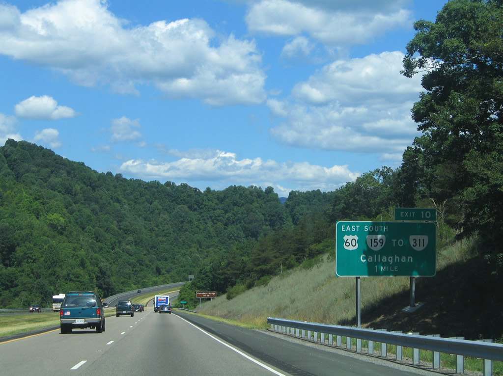
An 11.33 mile long route, SR 159 (Dunlap Creek Road) begins at Exit 10 and briefly follows old U.S. 60 before continuing to SR 311 at Crows.
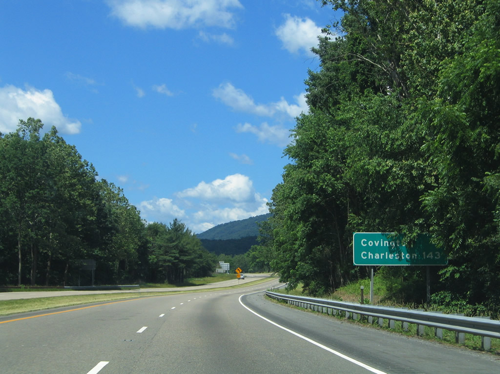
Old U.S. 60 continues alongside I-64 as SR 600 and then SR 661 (Midland Trail) through Callaghan. SR 600 stems northward along Lick Mountain. SR 661 meets I-64 at a half diamond interchange (Exit 7), where it turns north onto Ogle Creek Road.
06/17/05
West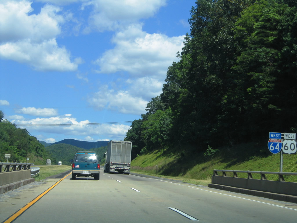
Reassurance shield assembly posted for I-64/U.S. 60 west on their third overlap within the state.
06/17/05
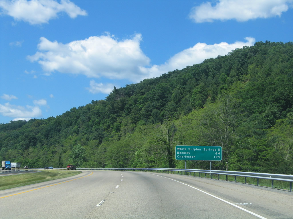
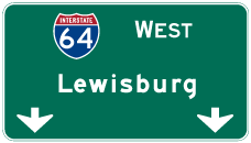
White Sulphur Springs, the split of U.S. 60 west from Interstate 64, follows in 13 miles. Lewisburg, where I-64 meets U.S. 219, is 26 miles away.
06/17/05
Heading west from SR 661 between Brushy Mountain and Panther Ridge along I-64/U.S. 60.
06/17/05
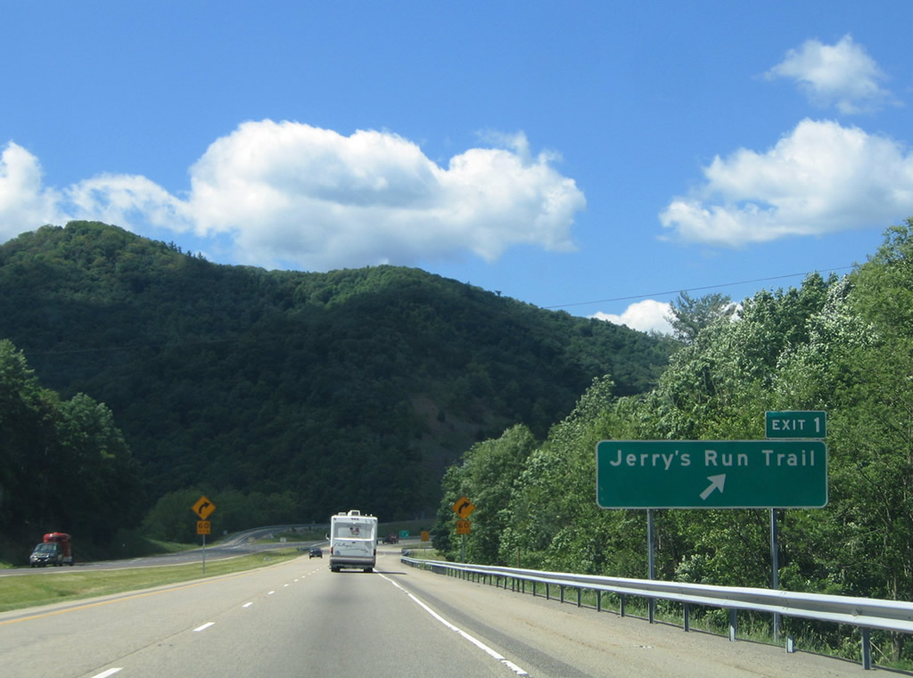
Jerry's Run Trail (National Forest Road 59) meets I-64/U.S. 60 at Exit 1 by Batlick Mountain and Hickory Knob in the Brushy Mountains. The local road serves a remote area.
06/17/05
Charleston, West Virginia is 125 miles to the west via I-64 west and I-77 north.
06/17/05
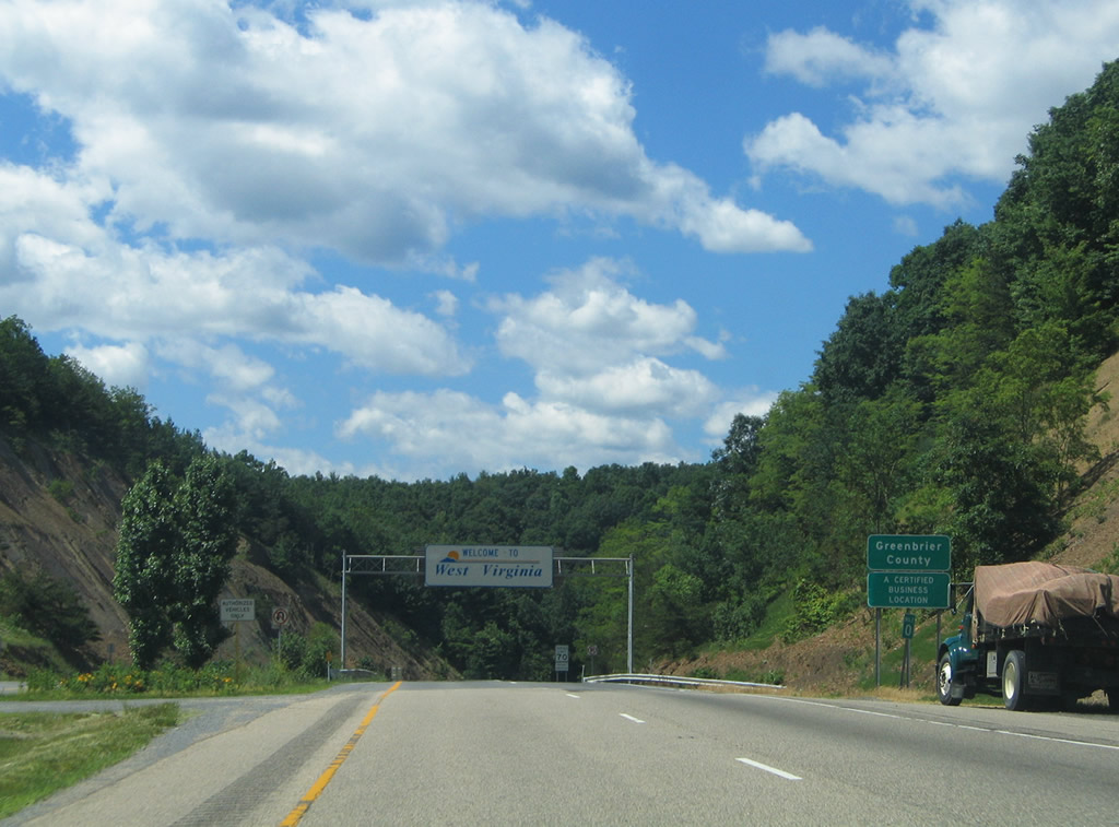
Interstate 64 leaves the Old Dominion 300.38 miles from its start in Chesapeake. I-64 travels 188.75 miles across West Virginia from Greenbrier County to Kenova, the second longest within a state along the route west to Wentzville, Missouri.
06/17/05

References:
- Under Construction - Interstate 64 bridges and median barrier.
http://www.virginiadot.org/projects/ const-project.asp?ID=98Virginia Department of Transportation (VDOT), web site.
Photo Credits:
- Alex Nitzman: 06/17/05
Connect with:
Page Updated Wednesday April 28, 2021.