
Interstate 65 South - Ardmore to Huntsville

 South
South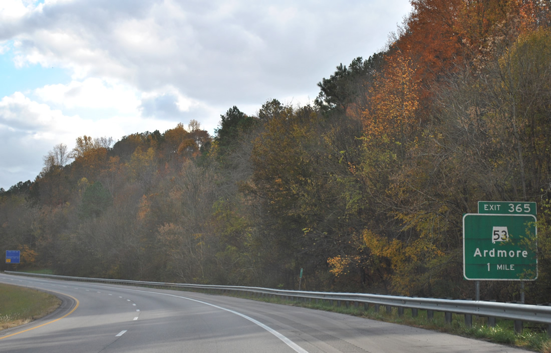
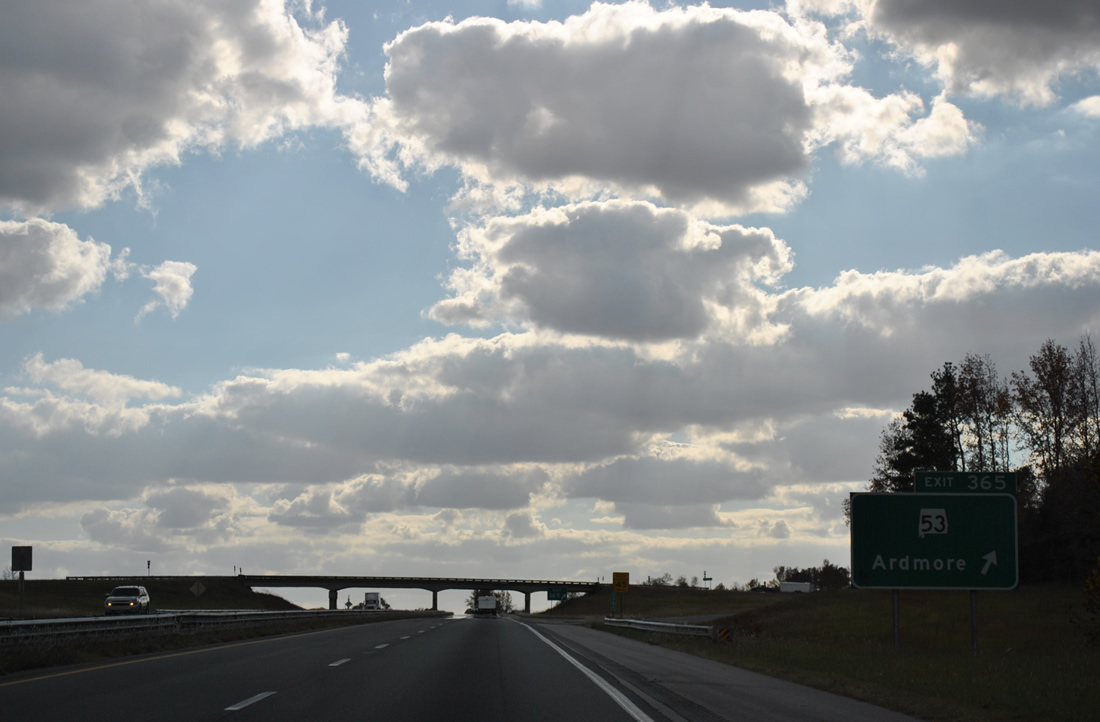
I-65/U.S. 31 leave Blowing Spring Hollow and advance to the diamond interchange (Exit 365) with SR 53 east and Upper Elkton Road.
11/07/11
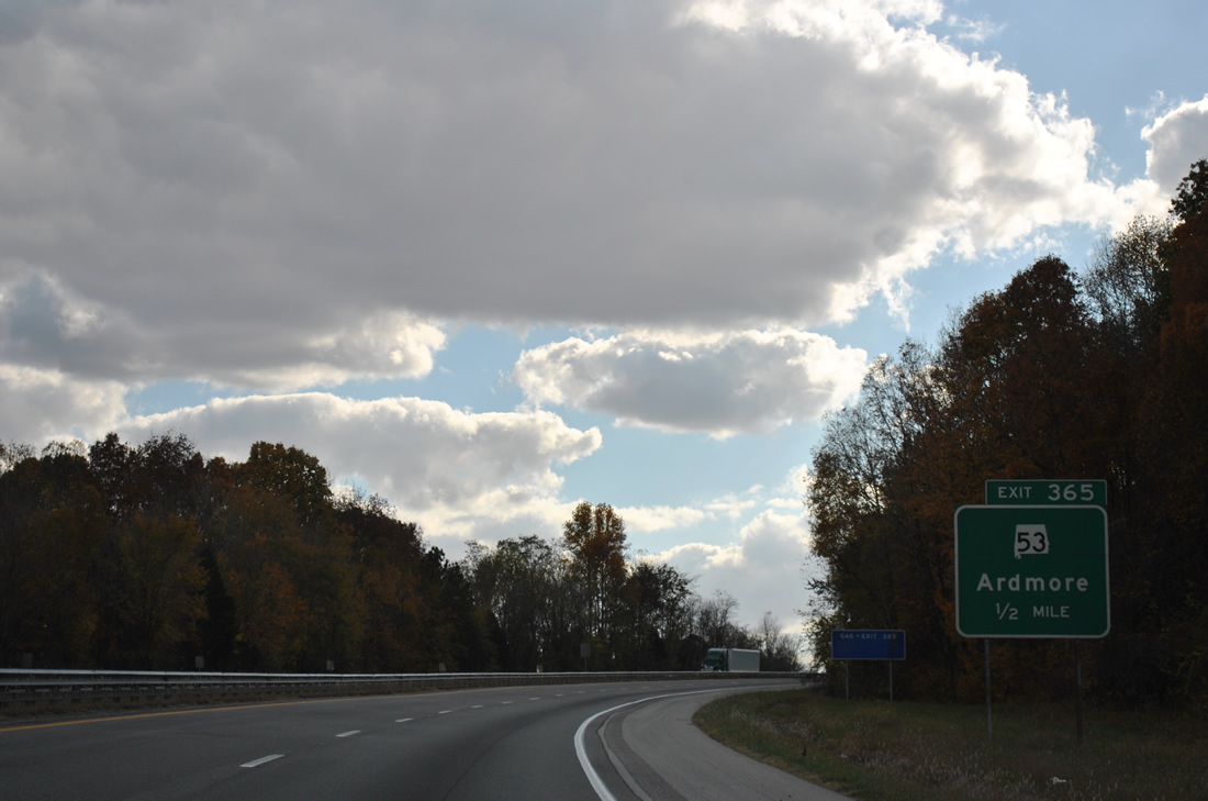
Beginning at Exit 365, SR 53 travels east to 7th Street in Ardmore. SR 53 continues along the state line on Main Street before turning southeast to Huntsville. 345.29 miles in length, SR 53 stretches south to the Florida state line near Dothan, mostly as the unmarked counterpart of U.S. highways.
11/07/11
Exit 365 leaves I-65/U.S. 31 south for SR 53 and Upper Elkton Road south. Upper Elkton Road acts as a frontage road to the freeway through Holland Gin and to Sandlin Road at Exit 361.
11/07/11
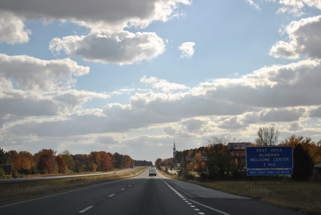
A rest area and tourist information center follow along I-65/U.S. 31 southbound at Holland Gin.
11/07/11
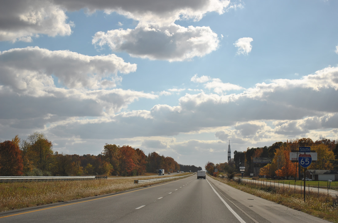
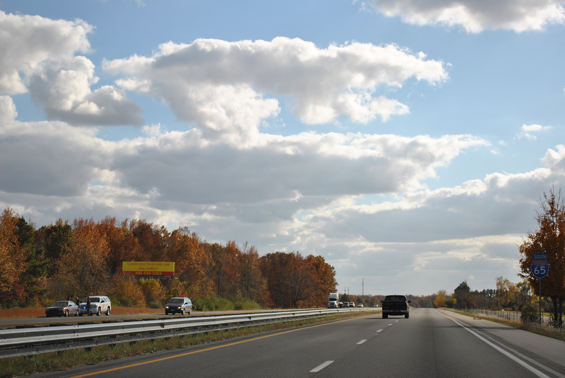
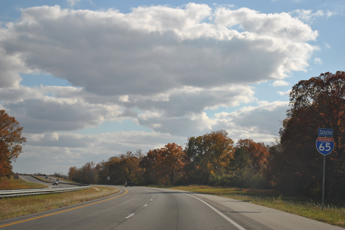
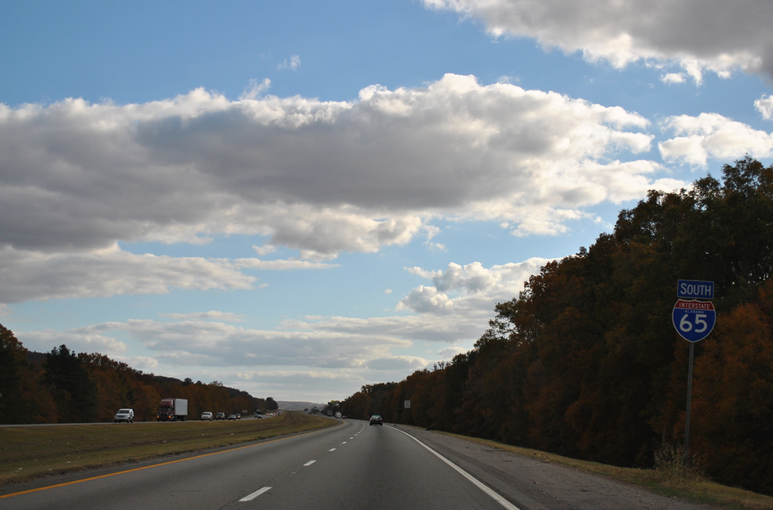
Upper Elkton Road comes into view by the first confirming marker for I-65 south in Alabama. Omitted here, U.S. 31 overlaps with I-65 between Exit 1 in Tennessee and Exit 354 at Athens.
11/07/11
The diamond interchange with Sandin Road connects I-65/U.S. 31 to Elkmont at the succeeding exit. Athens is the next city along the freeway.
11/07/11
Southbound I-65/U.S. 31 at the first Alabama rest area.
11/07/11
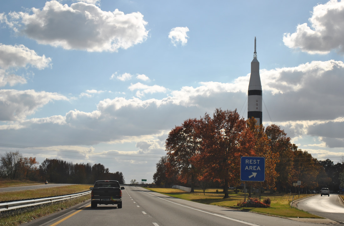
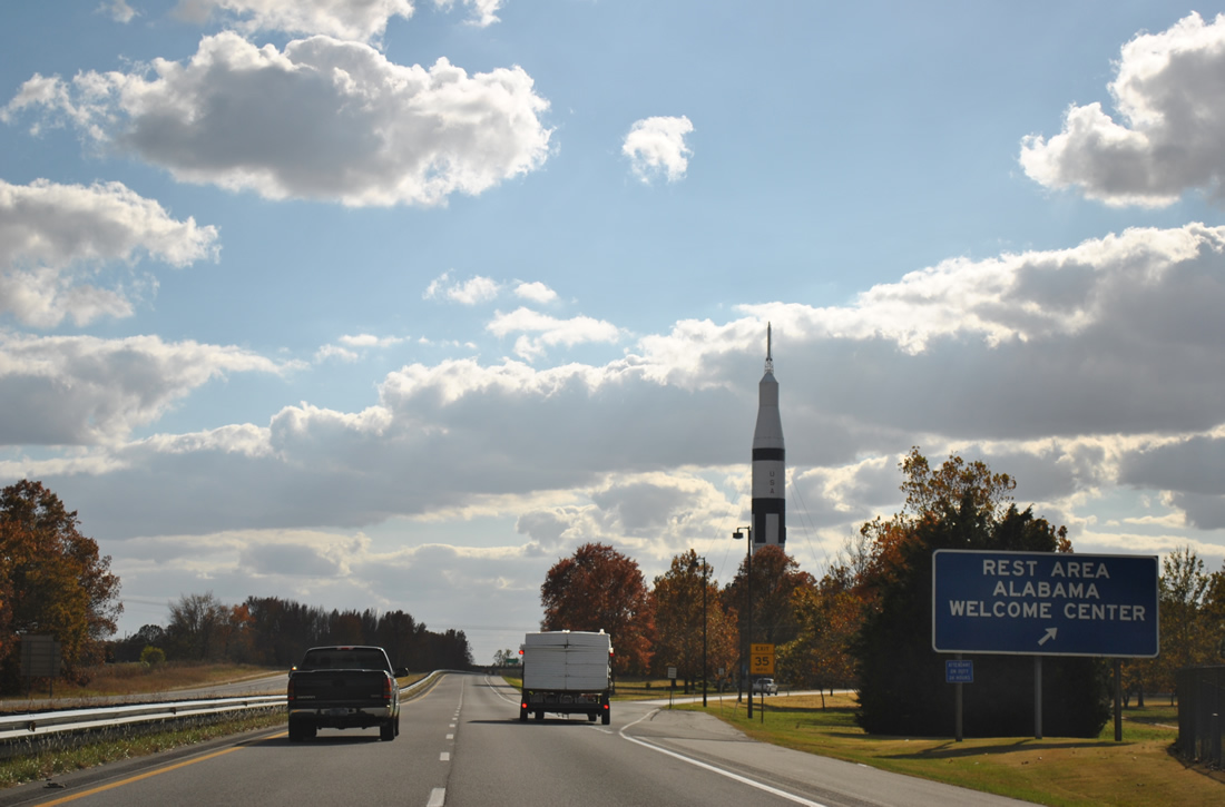
A rocket stands at the welcome center as a monument to Alabama' contribution to the space industry. Huntsville is the home of the NASA Marshall Space Flight Center.
11/07/11
Continuing south I-65/U.S. 31 pass under Upper Fort Hampton Road and again run alongside Upper Elkton Road.
11/07/11
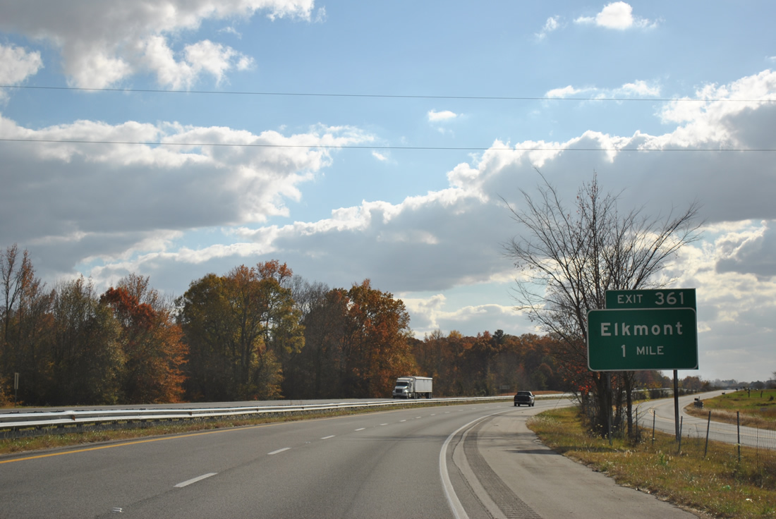
Sandlin Road east and Thach Road west come together at Exit 361 in one mile.
11/07/11
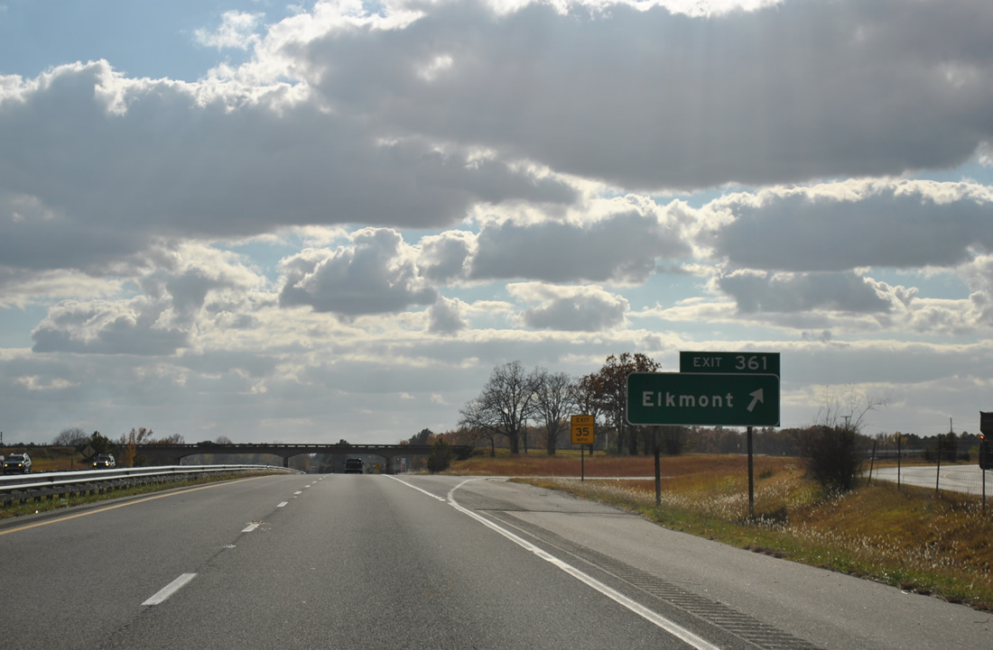
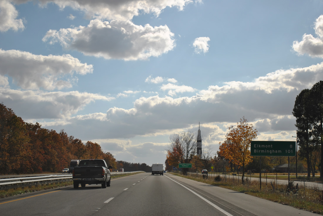
The town of Elkmont lies four miles to the west along Sandlin Road at Upper Fort Hampton Road. Thach Road east links I-65/U.S. 31 with Thach, Oak Grove and Limestone County Route 71 (Mooresville Road).
11/07/11
I-65/U.S. 31 arc eastward away from parallel Elkton Road and span a CSX Railroad line before turning back westward to Athens.
11/07/11
I-65/U.S. 31 southbound separate at a trumpet interchange (Exit 354) in the city of Athens.
11/07/11
Diverging southwest from I-65 through Athens, U.S. 31 stays east of Downtown Athens. The original alignment of U.S. 31 followed SR 251 (Pryor Street) northeast to Oakdale, Sardis Springs, Bethel and Ardmore. There is no direct access between Interstate 65 and SR 251.
11/07/11
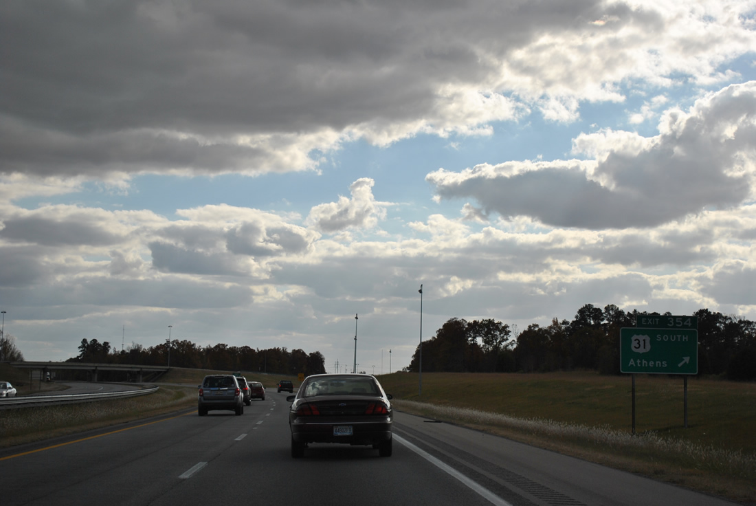
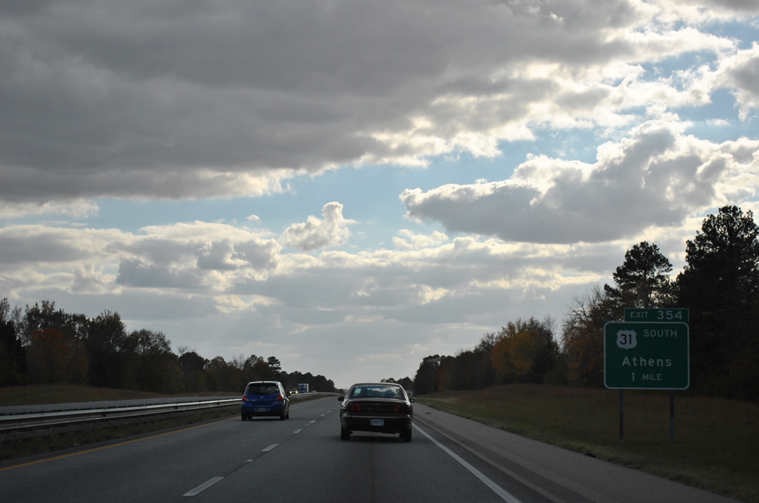
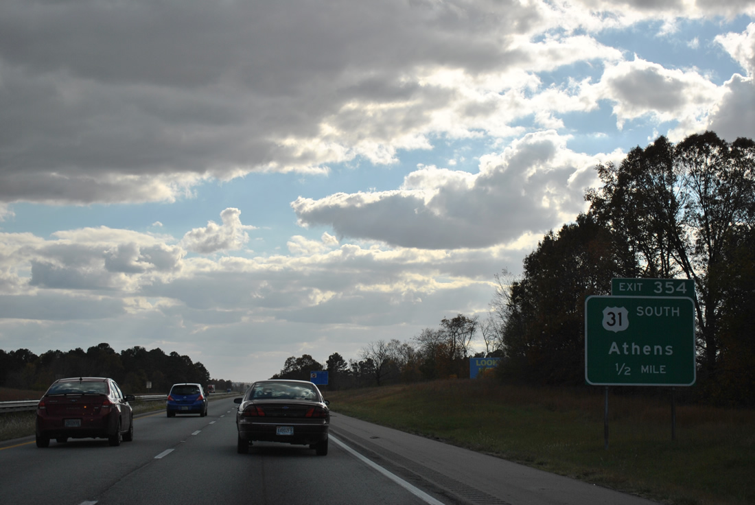
SR 3 commences south along U.S. 31 at Exit 354. Entirely unsigned, SR 3 accompanies U.S. 31 from Athens 374.38 miles to U.S. 90 in Spanish Fort.
11/07/11
South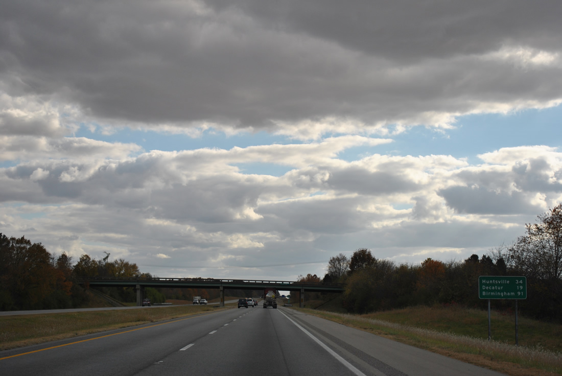
Huntsville appears on the next distance sign for I-565/U.S. 72 Alternate east along with Decatur, via U.S. 72 Alternate west. SR 251 (Pryor Street) passes over Interstate 65 in the background.
11/07/11
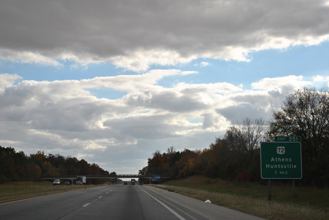
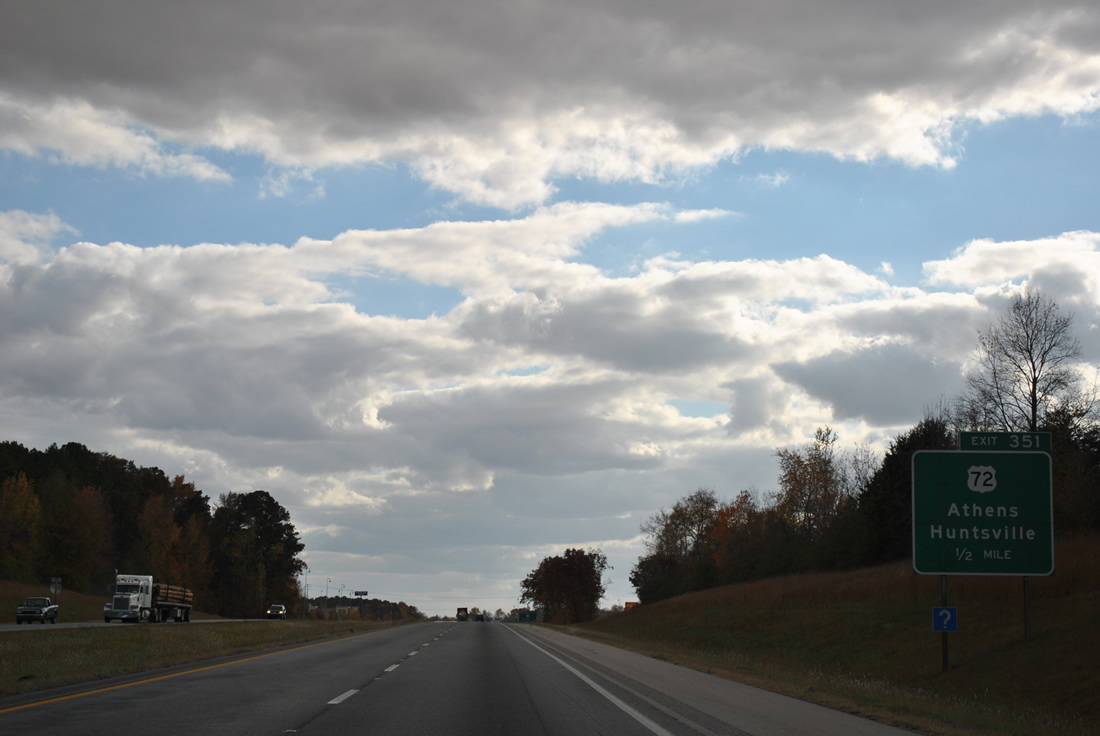
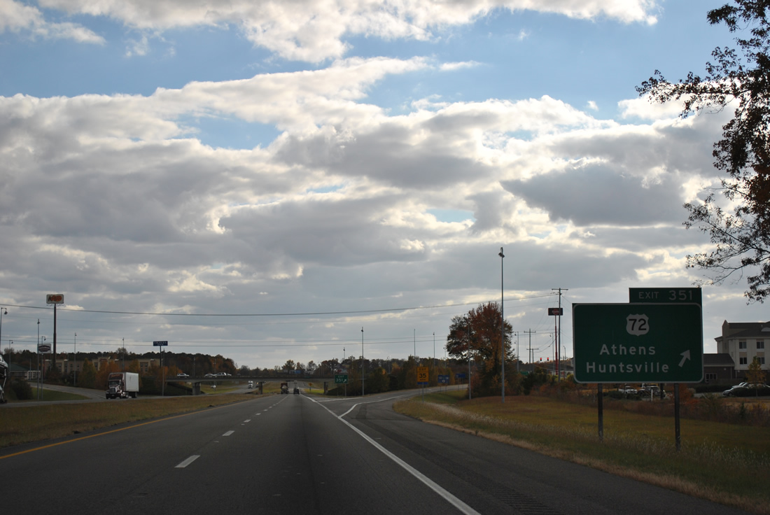
U.S. 72 meets Interstate 65 at Exit 351 in one mile.
11/07/11
U.S. 72, like U.S. 31, travels through Athens but bypasses downtown. U.S. 72, and later U.S. 72 Business, was originally signed along Clinton Street north to Washington Street west through the central business district. Clinton Street also doubled as U.S. 31 Business at one point. Those routes and SR 99, formerly signed along Market Street, were relocated or decommissioned. SR 99 lines Elm Street west from U.S. 31.
11/07/11
U.S. 72 stretches 170 miles across the northern tier of Alabama, comprising a four lane corridor west from Athens to Florence and east to Huntsville, Scottsboro and Bridgeport.
11/07/11

interstate 65 advances from Exit 354 through southern reaches of Athens. Channelized Swan Creek flows just west of the freeway.
11/07/11
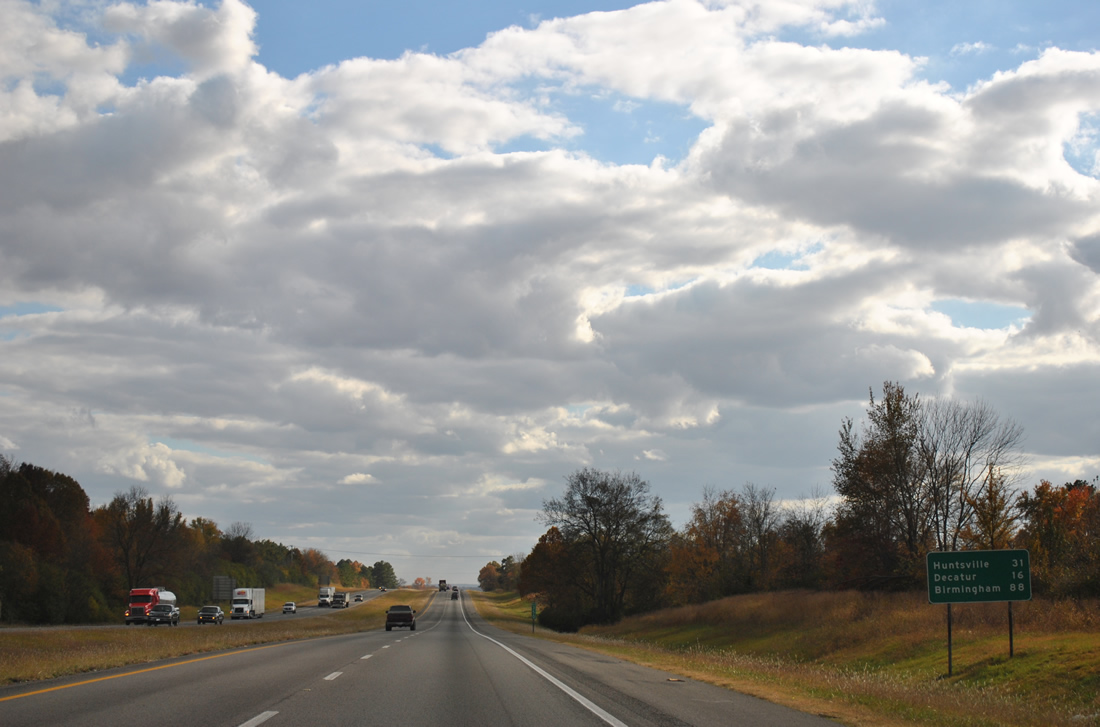
Huntsville lies 31 miles to the east while the city of Decatur is west of Exit 340 along the Tennessee River.
11/07/11
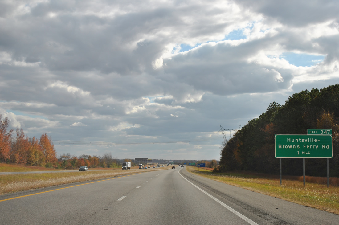
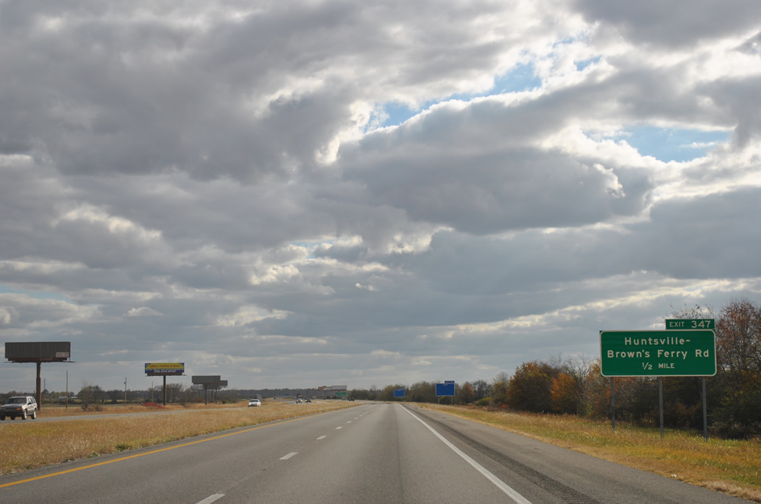
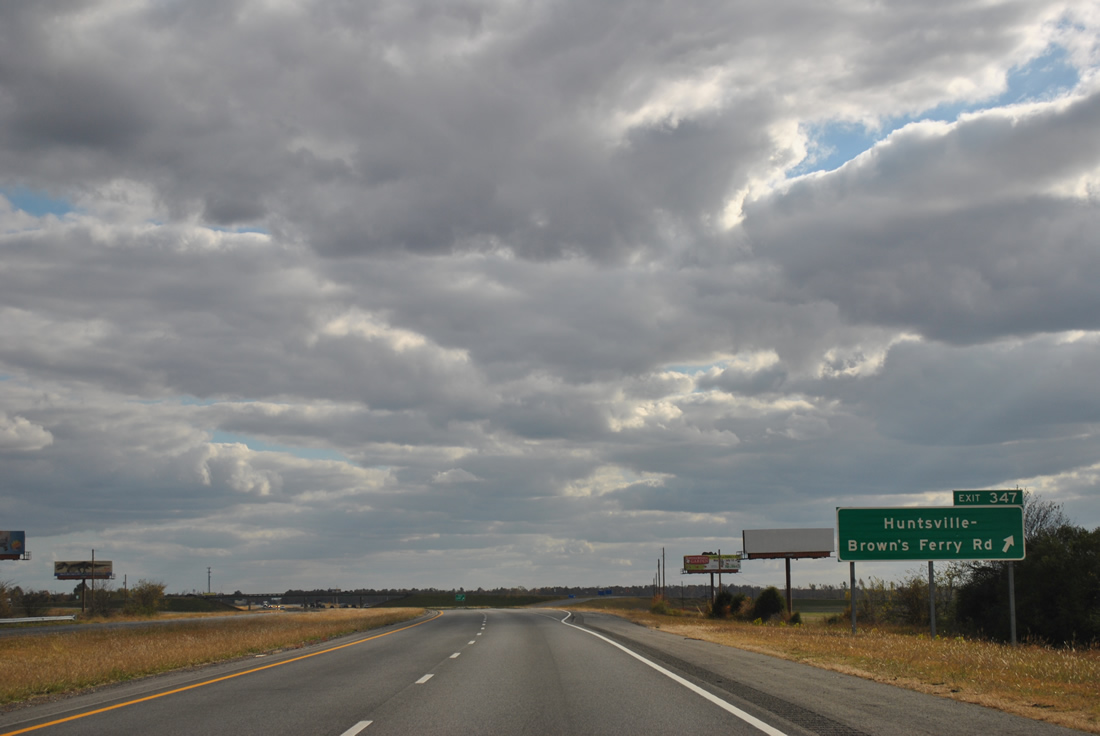
Opened in October 2009, the diamond interchange at Exit 347 joins Interstate 65 south with Huntsville-Brown's Ferry Road (Limestone County Route 24) in one mile.
11/07/11
Huntsville-Brown' Ferry Road travels west from Exit 347 to U.S. 31 at Tanner Crossroads and Tanner. Eastward, the rural highway continues to Dogwood Flats, Peets Corner and the city of Madison.
11/07/11
East of Exit 347, Huntsville-Brown's Ferry Road was extended as Gillespie Road from the Madison County line to Hughes Road.
11/07/11
Leading west to the Browns Ferry Nuclear Plant and northeastward around Huntsville by way of Wade Mountain, two transmission lines span Interstate 65.
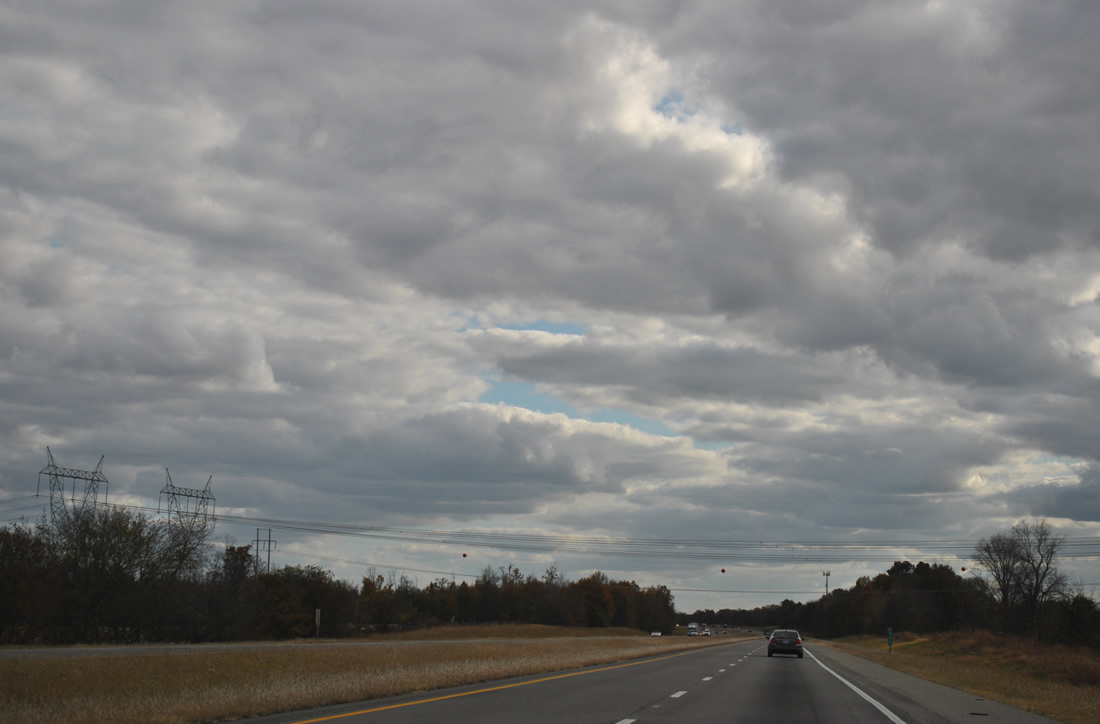
11/07/11
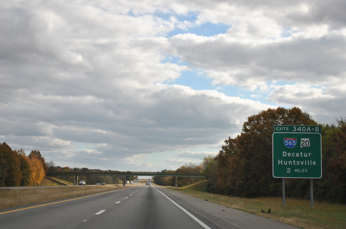
Garrett Road crosses I-65 two miles north of the directional cloverleaf interchange (Exits 340 A/B) with Interstate 565 east, U.S. 72 Alternate, and SR 20 west.
11/07/11
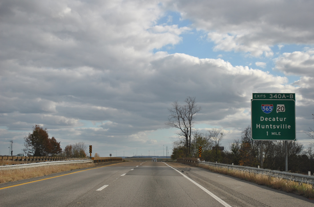
I-565 constitutes a 23 mile spur from I-65 to Downtown Huntsville and Chapman Mountain. Completed in 1991, I-565 replaced the at-grade route for SR 20 through Mooresville, Madison and west Huntsville. I.65 crosses a Norfolk Southern Railroad and Bibb Garrett Road within a mile of Exit 340.
11/07/11
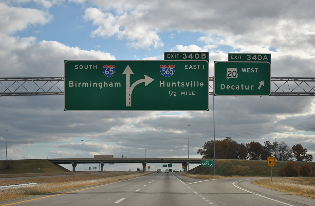
Beginning at Exit 340 A, SR 20 (Huntsville-Decatur Highway) heads five miles west to Decatur via U.S. 31 south. Omitted at Exit 340, U.S. 72 ALT follows all of I-565. U.S. 72 ALT also doubles as Appalachian Development Corridor V and the Trail of Tears Corridor.
11/07/11
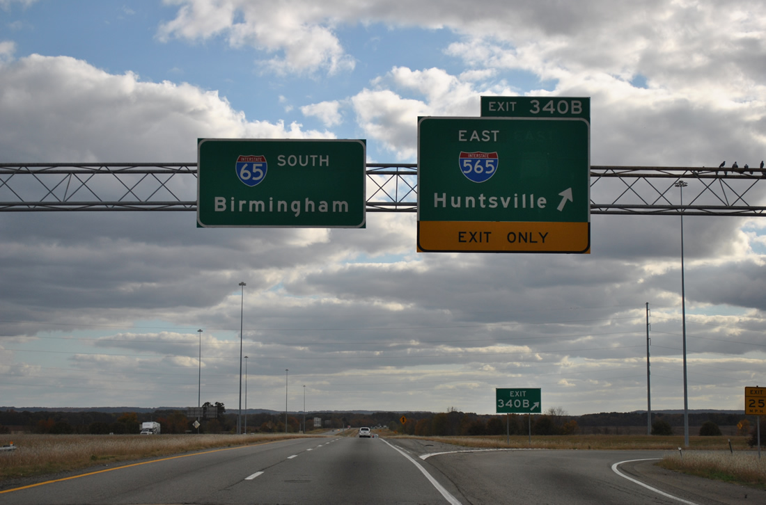
Exit 340 B loops onto I-565/U.S. 72 Alternate east to Madison and Huntsville. SR 20 formerly overlapped with I-565 east to Downtown Huntsville. Interstate 565 travels nines miles to Huntsville International Airport, 14 miles to Redstone Arsenal via Rideout Road) and 16 miles to the U.S. Space and Rocket Center tourist attraction.
11/07/11

The first exit from I-65 sough in Morgan County also serves Decatur. Birmingham is 77 miles away.
11/07/11
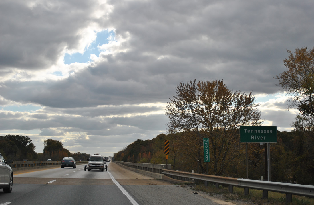
Interstate 65 travels through Wheeler National Wildlife Refuge, west of Limestone Creek, en route to Wheeler Lake along the Tennessee River.
11/07/11

Interstate 65 crosses the Tennessee River over twin bridges built in 1973.
11/07/11
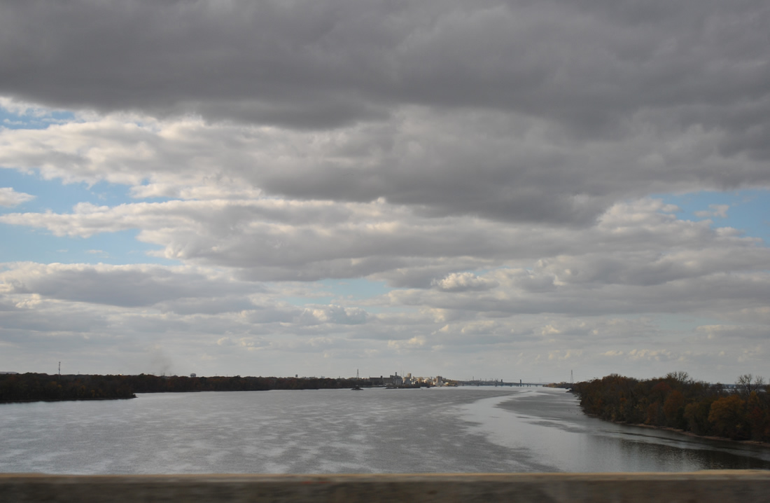
The city of Decatur appears to the west along Wheeler Lake.
11/07/11
The 29.61 mile long stretch of Interstate 65 south through Limestone County concludes over Wheeler Lake.
11/07/11
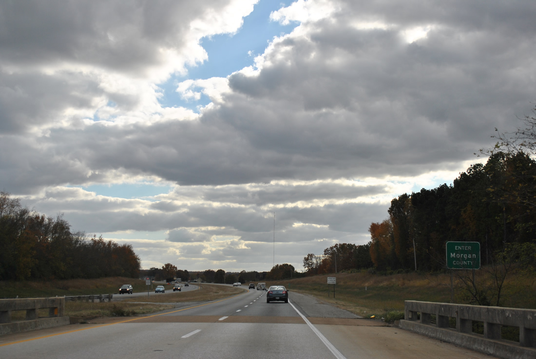
The formal Morgan County line sign appears at the south end of the Tennessee River viaduct on Interstate 65. The actual county border lines the navigation channel of the waterway.
11/07/11
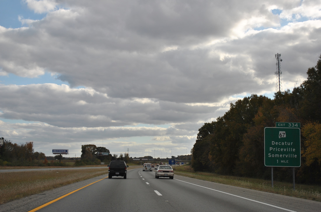
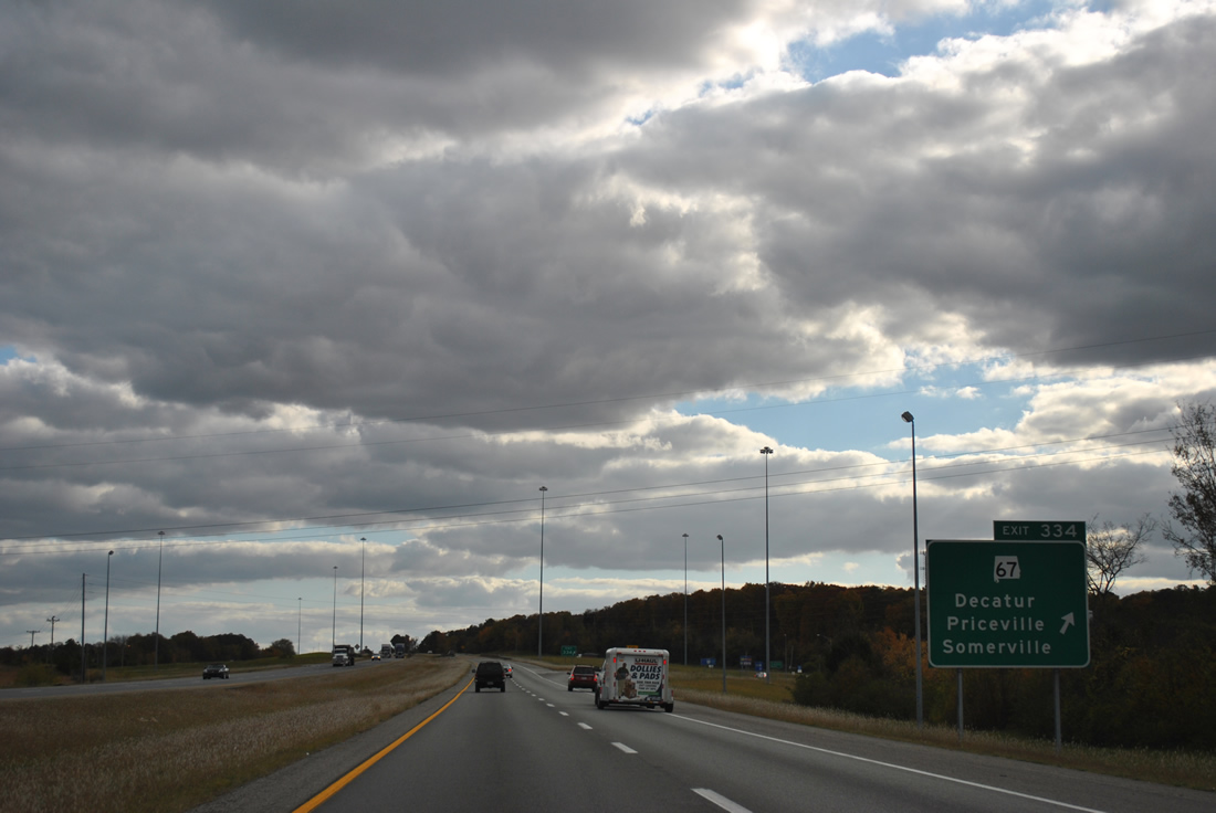
SR 67 (Point Mallard Parkway) angles southeast from Beltline Road and U.S. 31 in Decatur to meet Interstate 65 at a diamond interchange (Exit 334) in one mile.
11/07/11
SR 67 comprises a 47.11 mile long highway from the Decatur State Docks on Wheeler Lake to U.S. 231 near the community of Summit in Blount County. SR 67 follows Beltline Road around Decatur and serves interests to Racking Horse Celebration Arena and Wheeler National Wildlife Refuge.
11/07/11
Interstate 65 passes between Burleson and Priceville Mountains on the slow descent to Rountree Bottom.
11/07/11
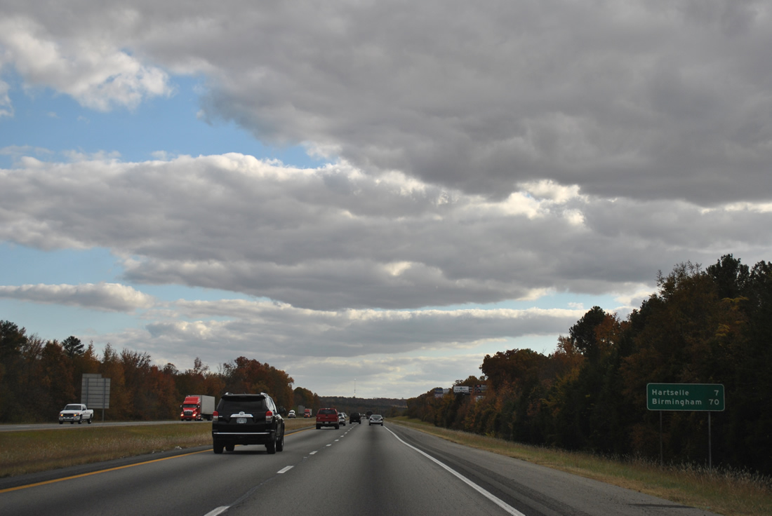
The community of Hartselle is the next destination for Interstate 65 south. Birmingham is an hours drive.
11/07/11
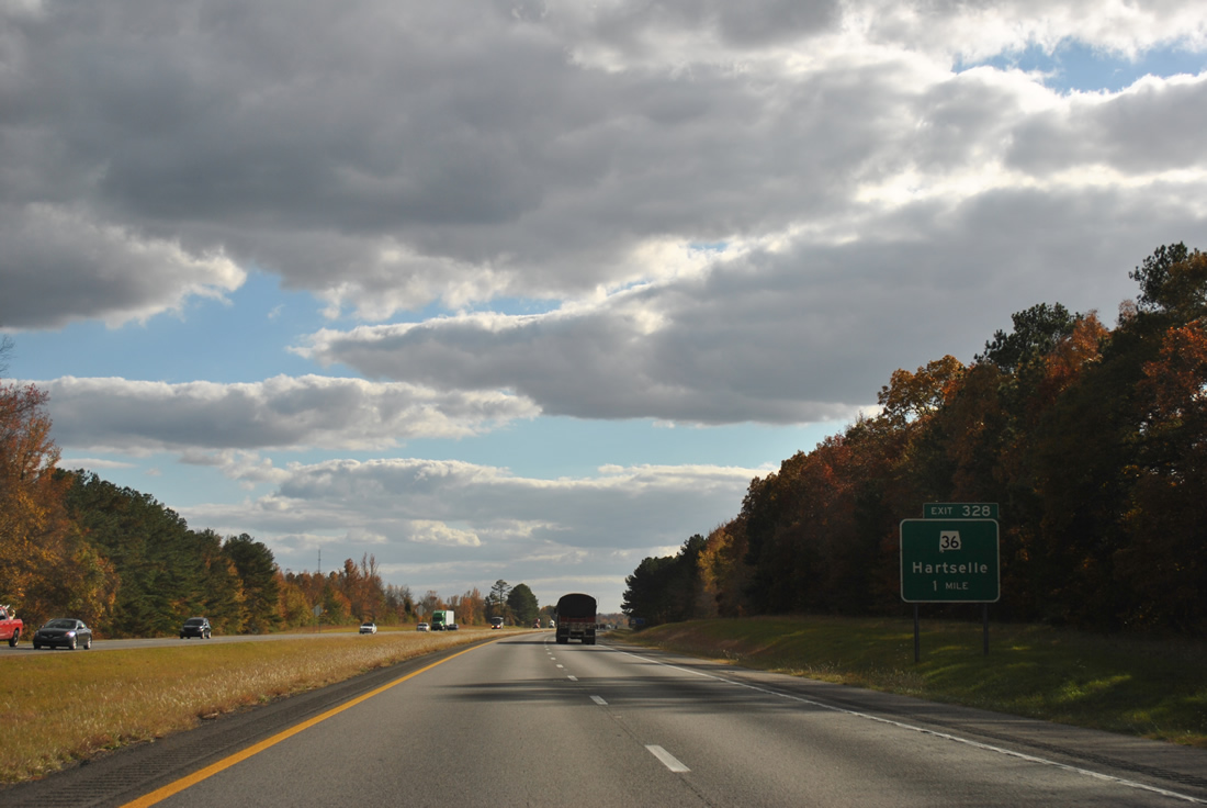
SR 36 heads east along Main Street from Downtown Hartselle to meet Interstate 65 at diamond interchange (Exit 328) in one mile.
11/07/11
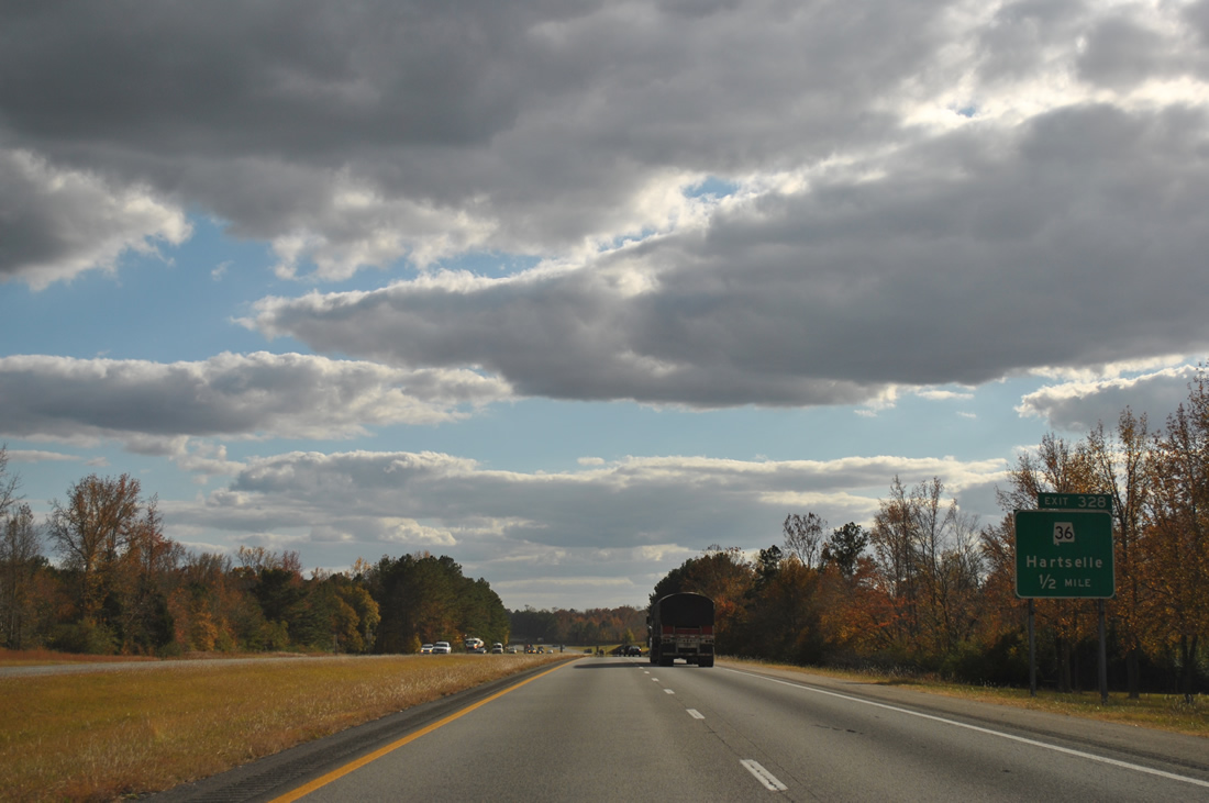
Measuring 47.47 miles in length, SR 36 runs between SR 33 at Wren, west of Hartselle, to U.S. 231 by Laceys Spring, 21 miles east of Exit 328.
11/07/11
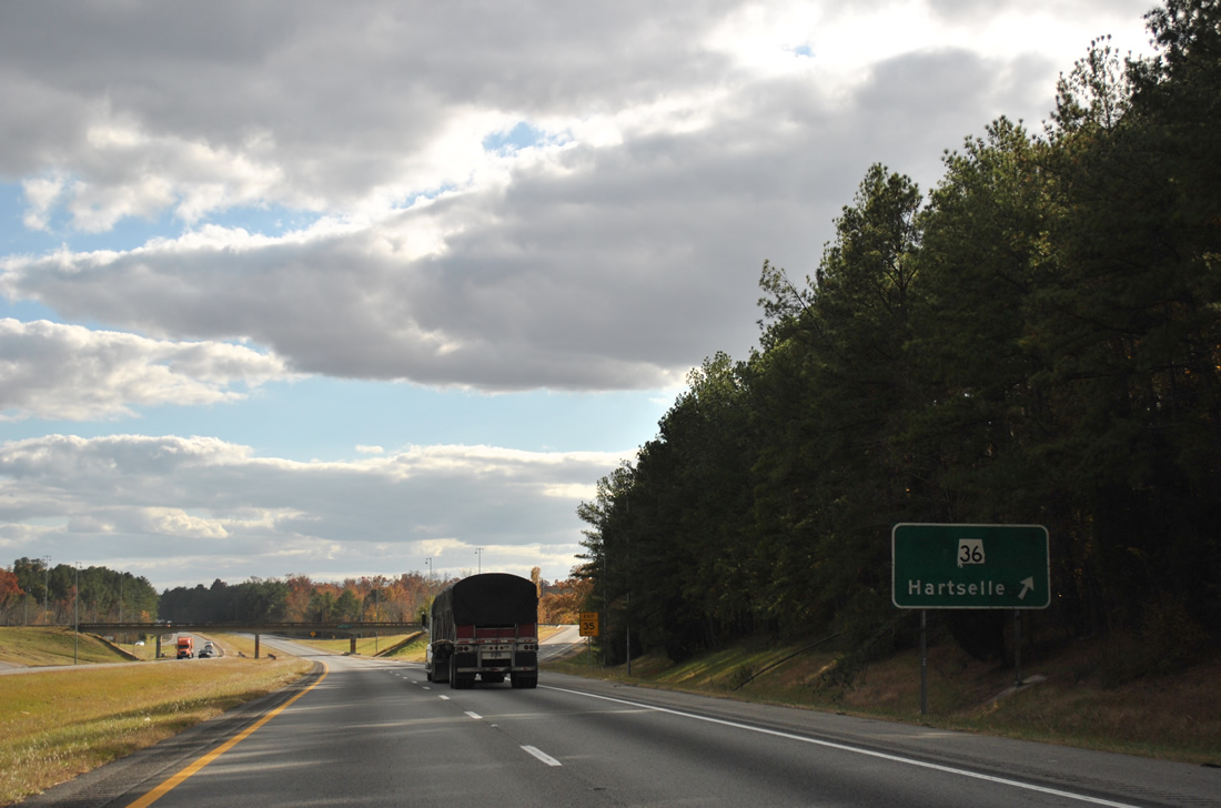
Hartselle lies just west of Exit 328 along parallel U.S. 31. SR 36 joins the city with Danville and the SR 157 corridor leading northwest to Muscle Schoals.
11/07/11
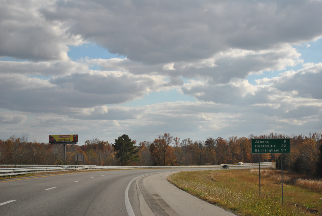
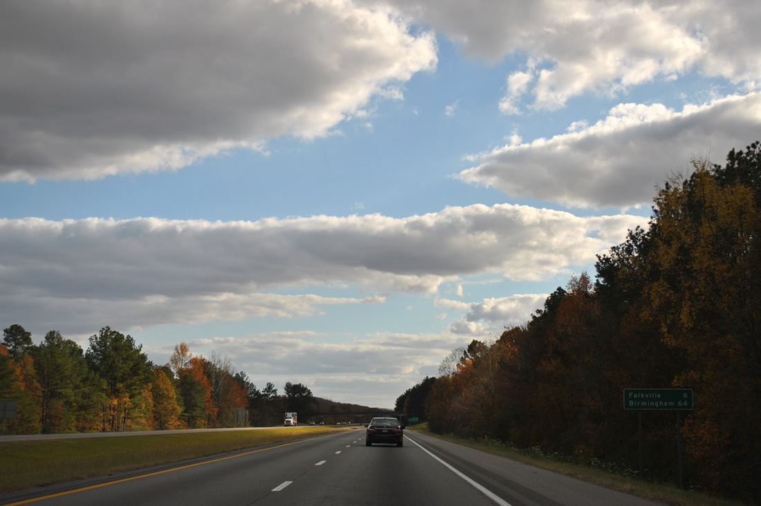
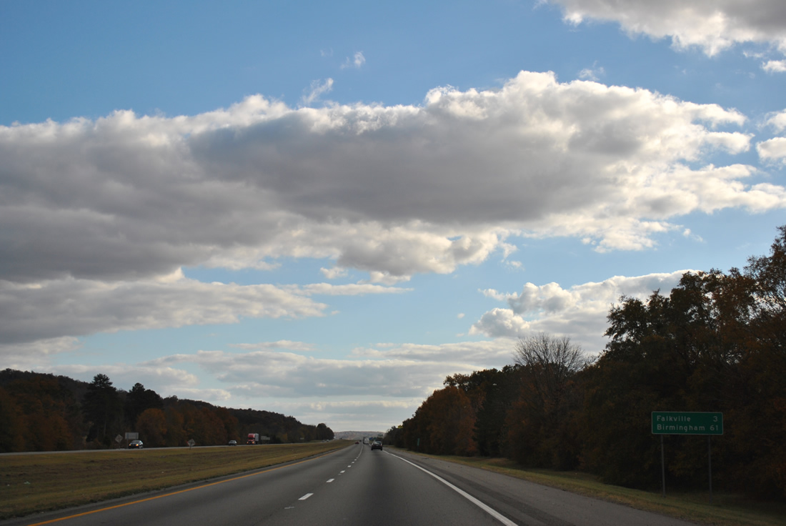
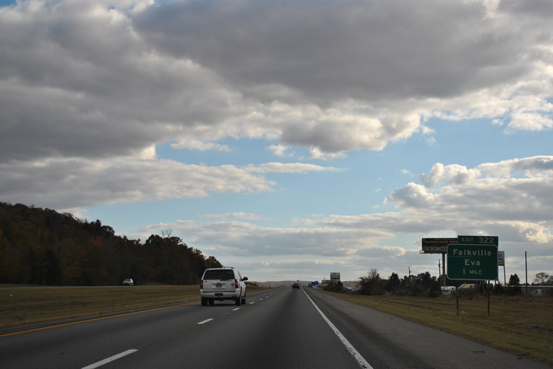
Interstate 65 continues six miles south to Falkville in southern Morgan County. Birmingham is another 64 miles away.
11/07/11
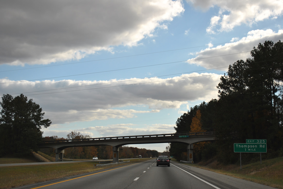
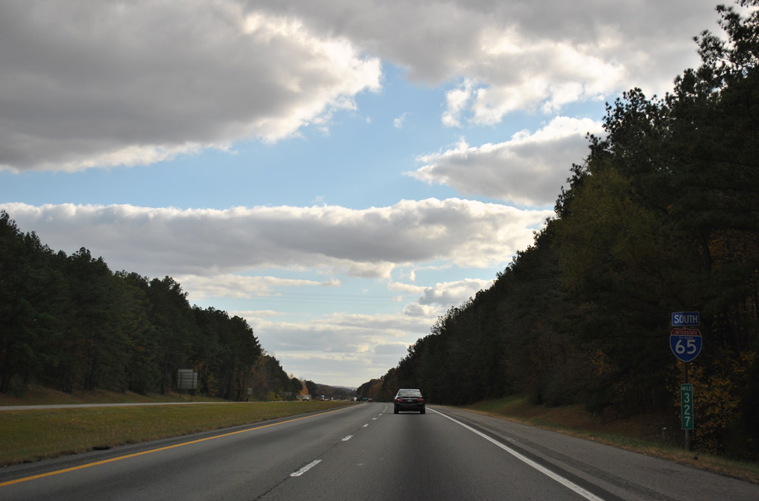
Thompson Road links Interstate 65 with U.S. 31 south of Hartselle and Morgan County Route 27 (Mount Tabor Road / Mt. Zion Road) west of Cedar Cove.
11/07/11
Several industrial parks line Thompson Road between the diamond interchange at Exit 322 and U.S. 31.
11/07/11
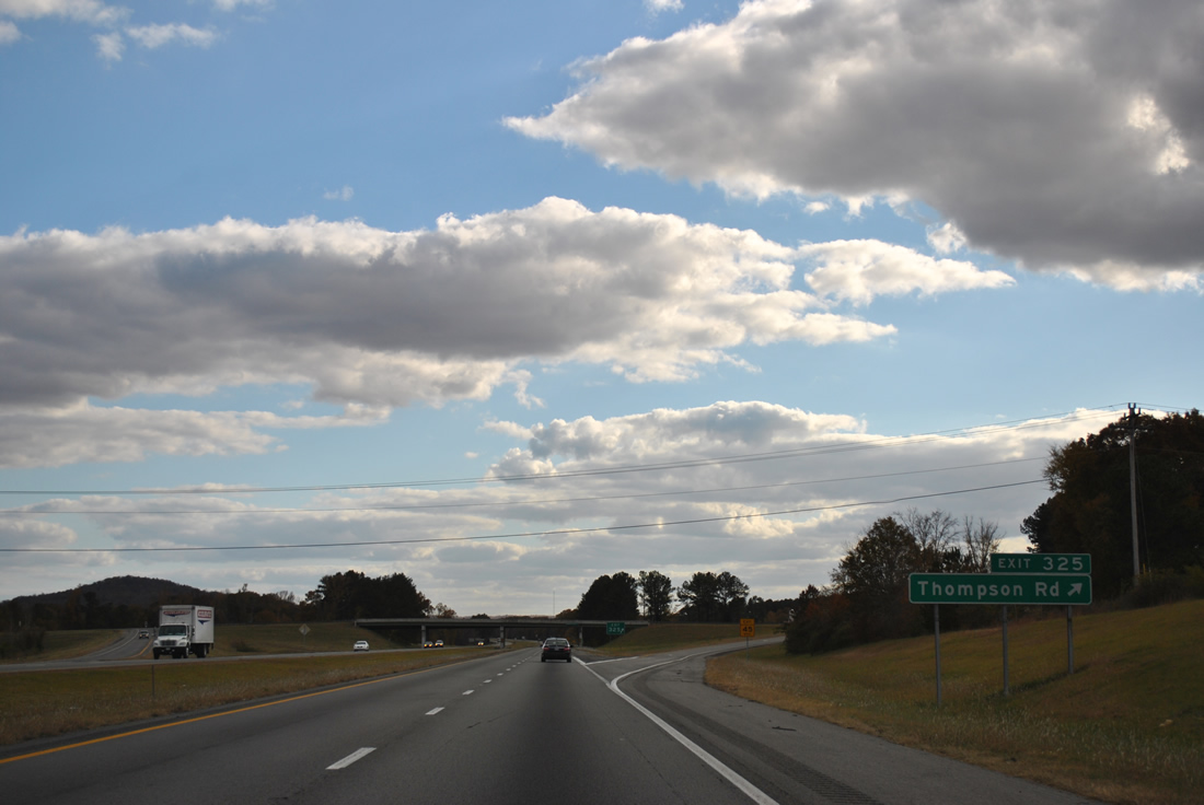
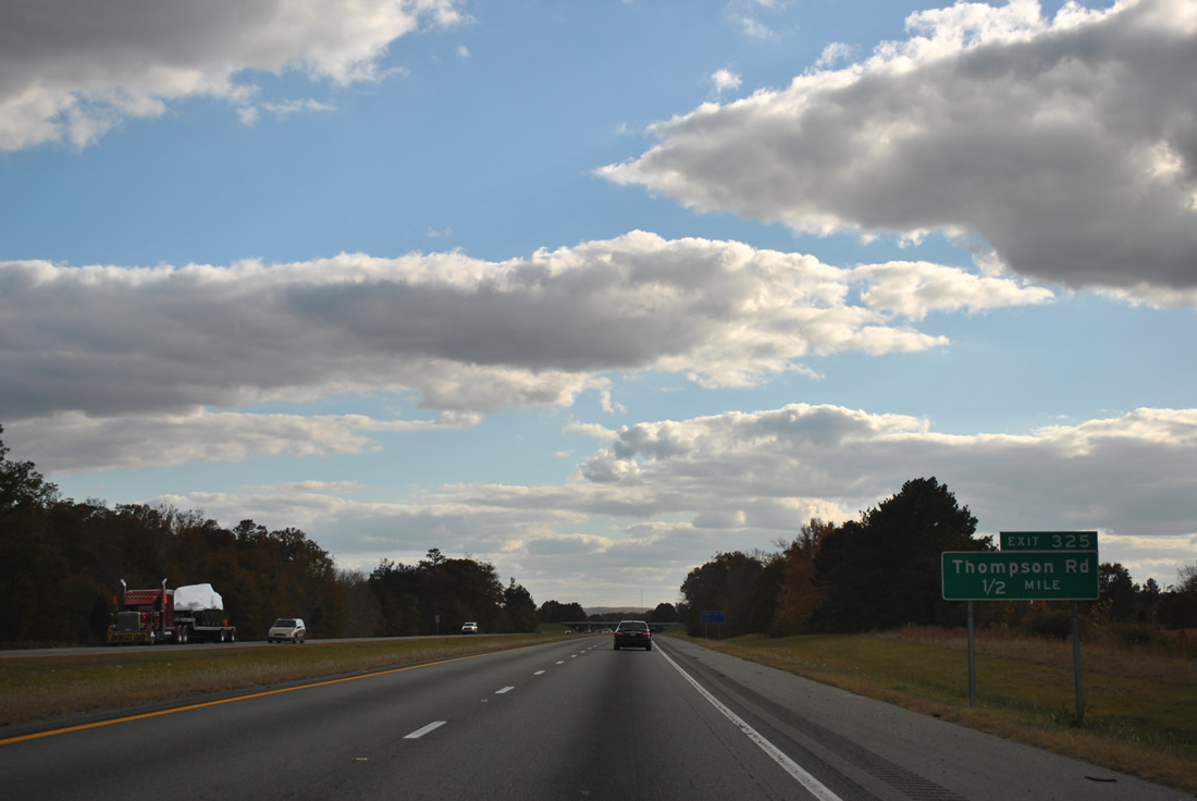
Thompson Road west from Exit 325 to U.S. 31 south provides an alternate route to Falkville.
11/07/11
Interstate 65 bends eastward toward Aiken Mountain and the outskirts of Falkville over the next three miles.
11/07/11
Morgan County Route 55 (Pike Road) meets Interstate 65 at a diamond interchange (Exit 322) outside Falkville.
11/07/11
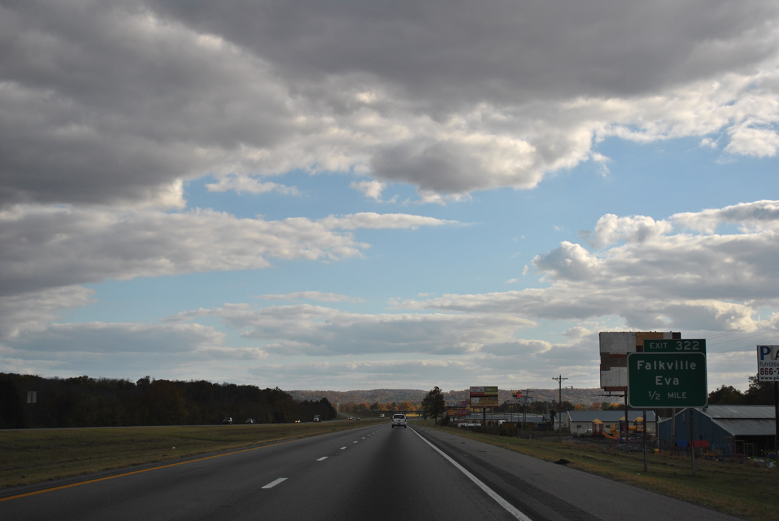
East from Exit 322, CR 55 meanders to Cole Spring, Cook Gap Mountain and CR 73 at Eva. CR 55 becomes Cullman County Route 1527 en route to Fairview.
11/07/11
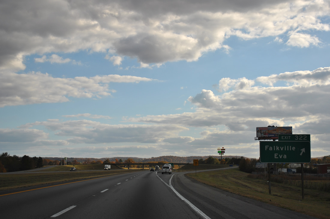
CR 55 (Pike Road) has an implied overlap with U.S. 31 (2nd Street) to W Pike Road and SR 157 by Campground Mountain. Falkville began with a small general store opened by its namesake, Louis M. Falk in 1858.1
11/07/11
Leaving Falkville, Interstate 65 advances toward the Piney Grove Road overpass beyond this reassurance shield.
11/07/11
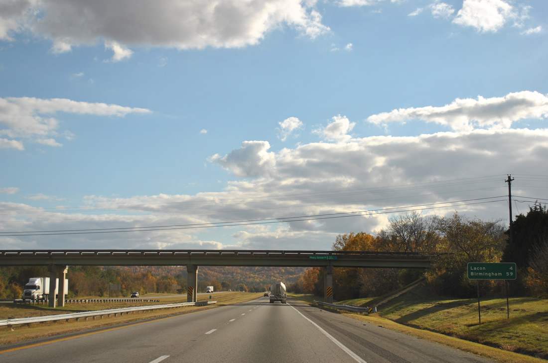
Lacon Mountain and other hills rise along the southern horizon.
11/07/11
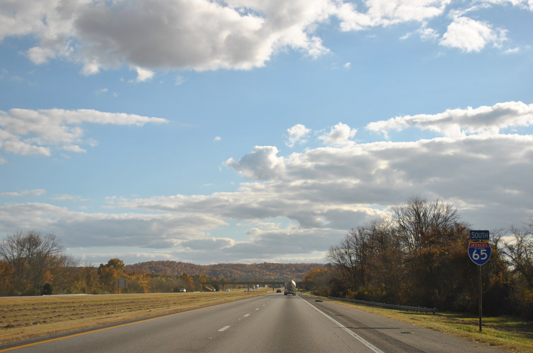
U.S. 31 returns to Interstate 65 at Exit 318 in one mile.
11/07/11
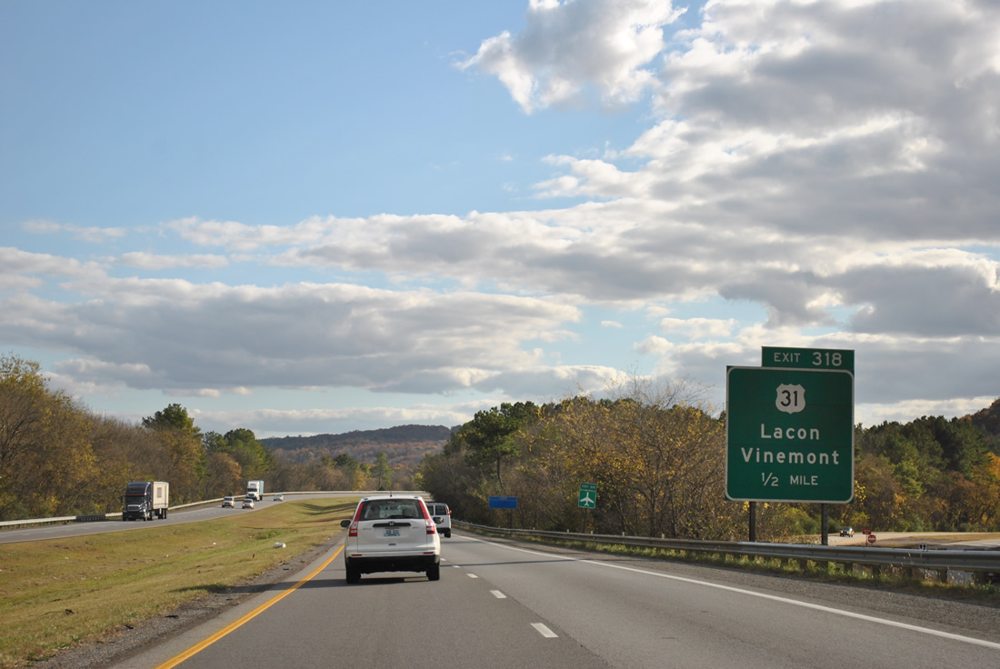
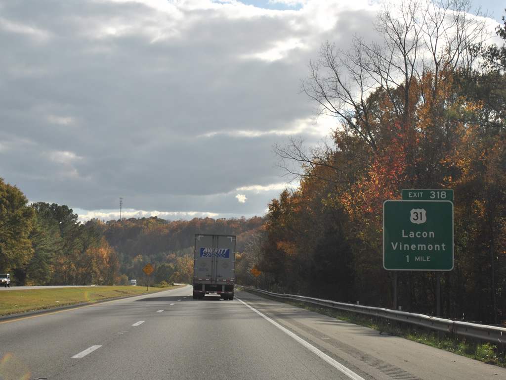
Coming into view to the west, U.S. 31 parallels I-65 over the Flint Creek ahead of the diamond interchange at Exit 318. U.S. 31 shifts sides with the freeway en route to Vinemont, South Vinemont and Cullman. Lacon, a small settlement at Lacon Road and CR 23 (Old US 31), lies nearby to the north.
11/07/11

Exit 318 departs I-65 south for U.S. 31 at Wilhite Cove. Folsom Field airport lies east of U.S. 31 via County Route 1398 near Vinemont. The final guide sign for Exit 318 was missing between December 2009 and November 2011.
11/07/11

I-65 passes through Morgan County for 18.93 miles to the Cullman County line at Indian Creek, on the fringe of Lacon Mountain.
11/07/11
References:
- Falkville, Alabama. Wikipedia.
Photo Credits:
- ABRoads: 11/07/11
Connect with:
Page Updated Friday December 02, 2011.