
Interstate 70 West - Glenwood Springs to Rifle

 West
West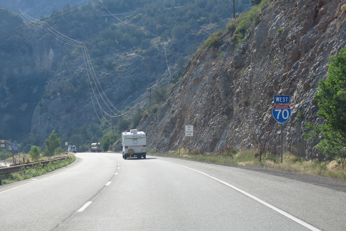
The westbound roadway for Interstate 70 continues above the eastbound lanes from Exit 119 / No Name to No Name Tunnel.
08/15/13
08/15/13
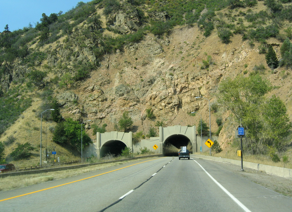
Interstate 70 west from No Name to Glenwood Springs was completed in 1966.1 This includes No Name Tunnel, which was finished in 1965.2
08/28/04
08/28/04
No Name Tunnel passes north of Horseshoe Bend along the Colorado River.
08/15/13
08/15/13
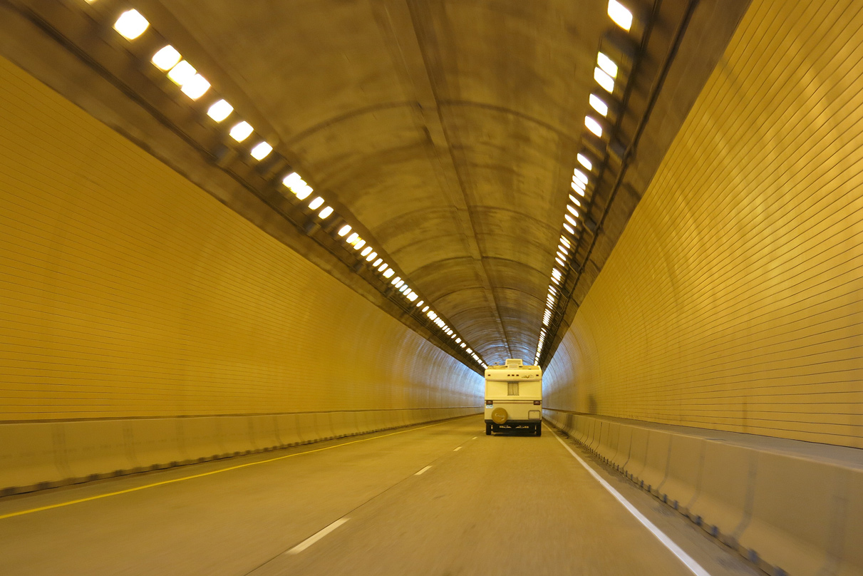
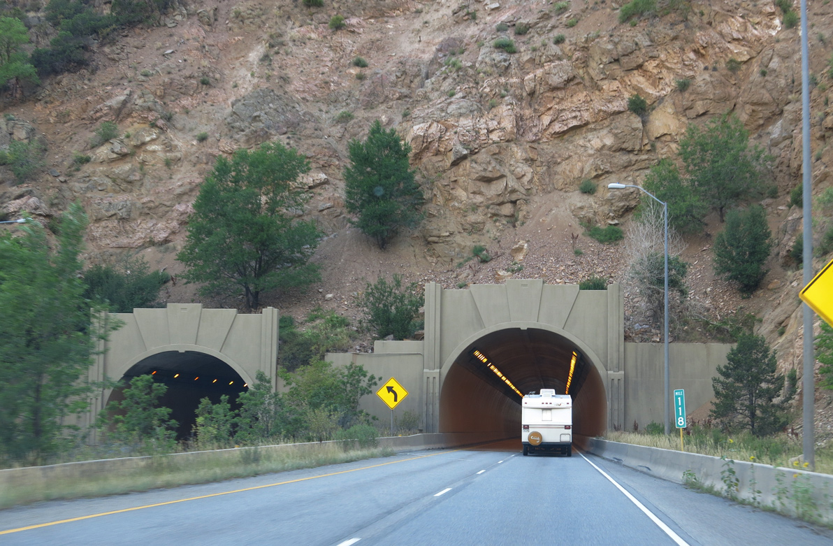
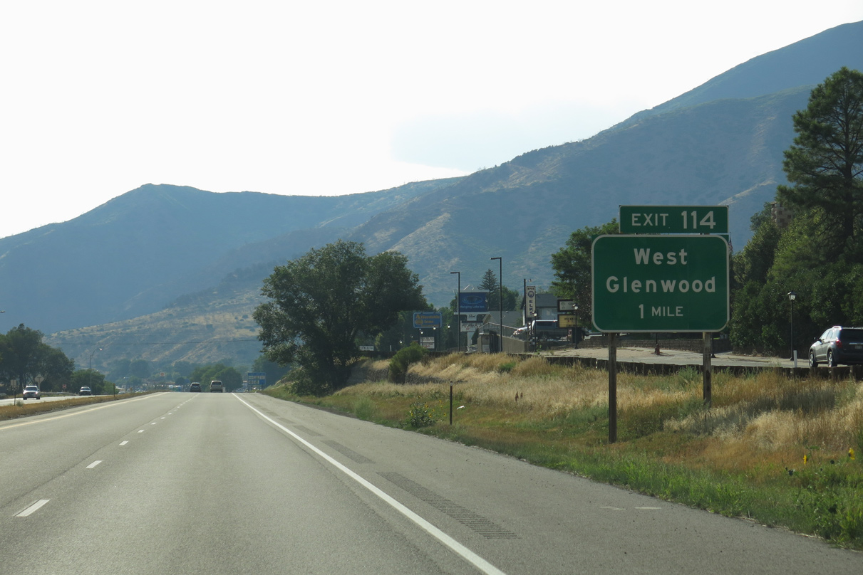
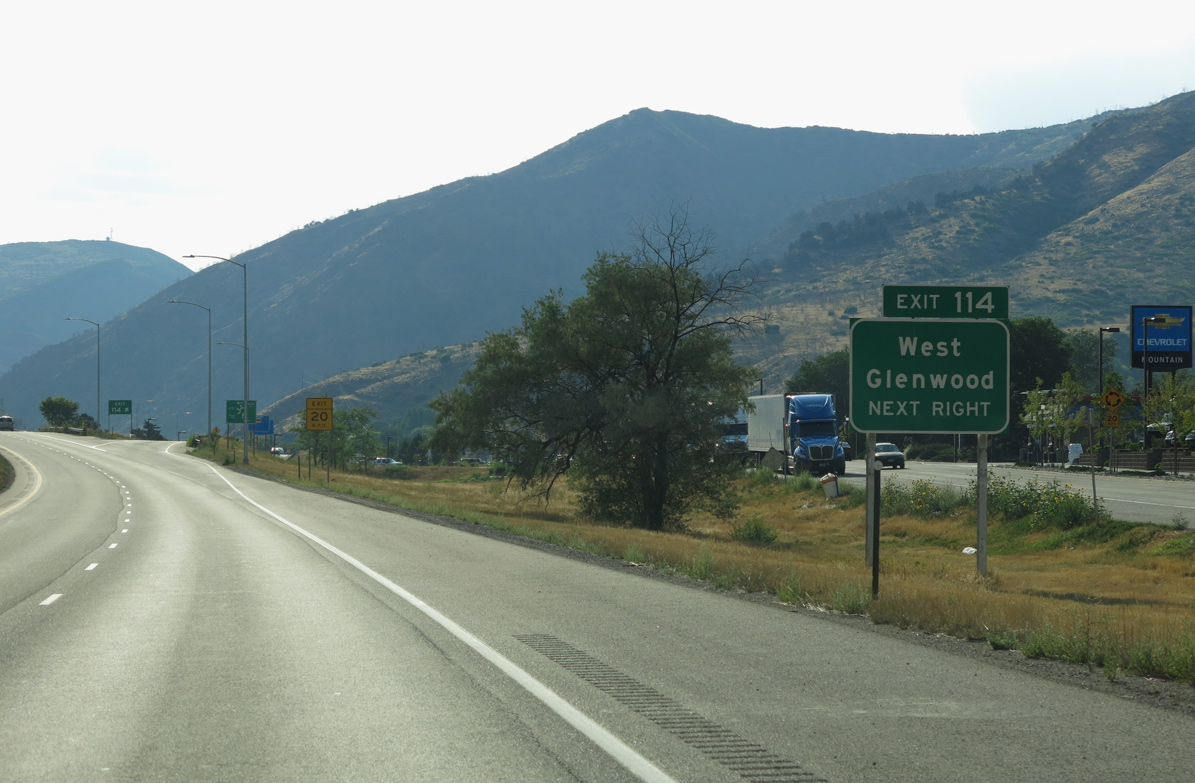
I-70 enters Glenwood Springs through No Name Tunnel. Home to 9,963 per the 2020 Census, the resort city rests at 5,746 feet above sea level.
08/15/13
08/15/13
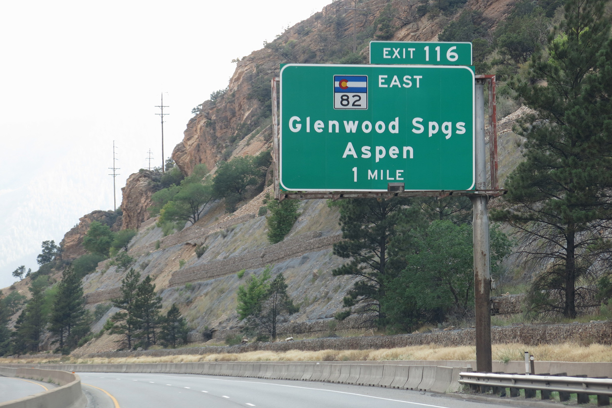
SH 82 is a 85.29 mile long highway that arcs from Glenwood Springs south to Carbondale, then east to Snowmass and Aspen, the famous ski resort. SH 82 crosses over Independence Pass (el. 12,093 feet), then passes by the highest peak in Colorado, Mt. Elbert (el. 14,433 feet) en route to U.S. 24 near Granite.
08/15/13
08/15/13
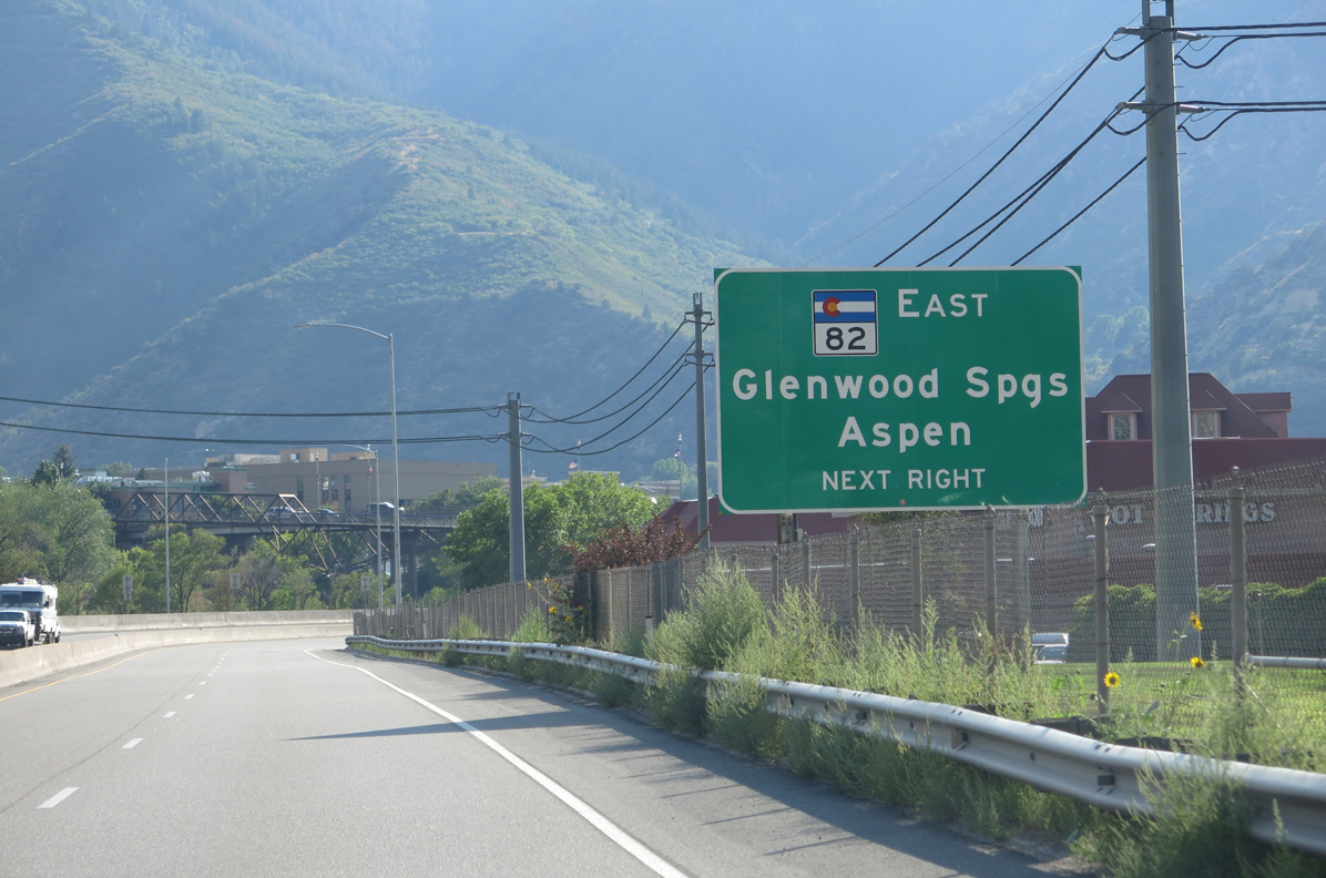
Paralleling the Roaring Fork River, SH 82 heads south from Downtown Glenwood Springs to Carbondale, El Jebel, Basalt, Snowmass and Woody Creek along a four lane highway to the city of Aspen.
08/15/13
08/15/13
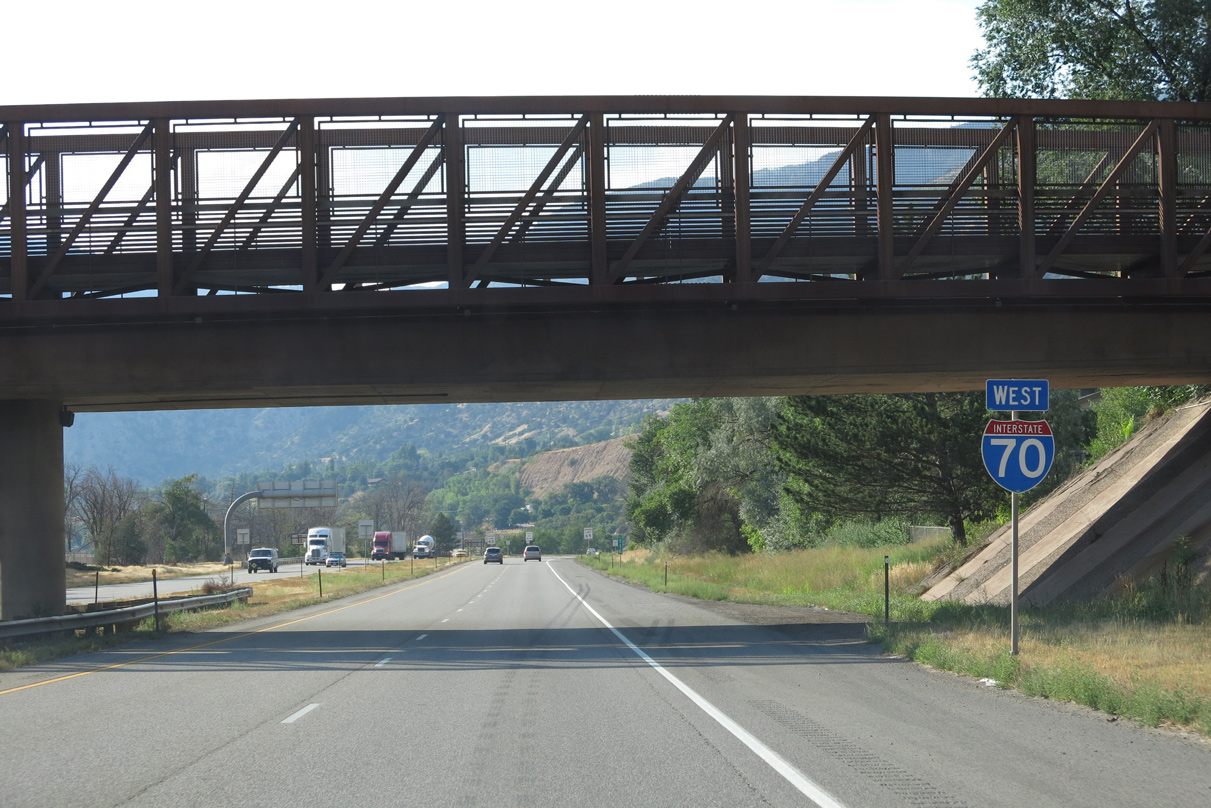
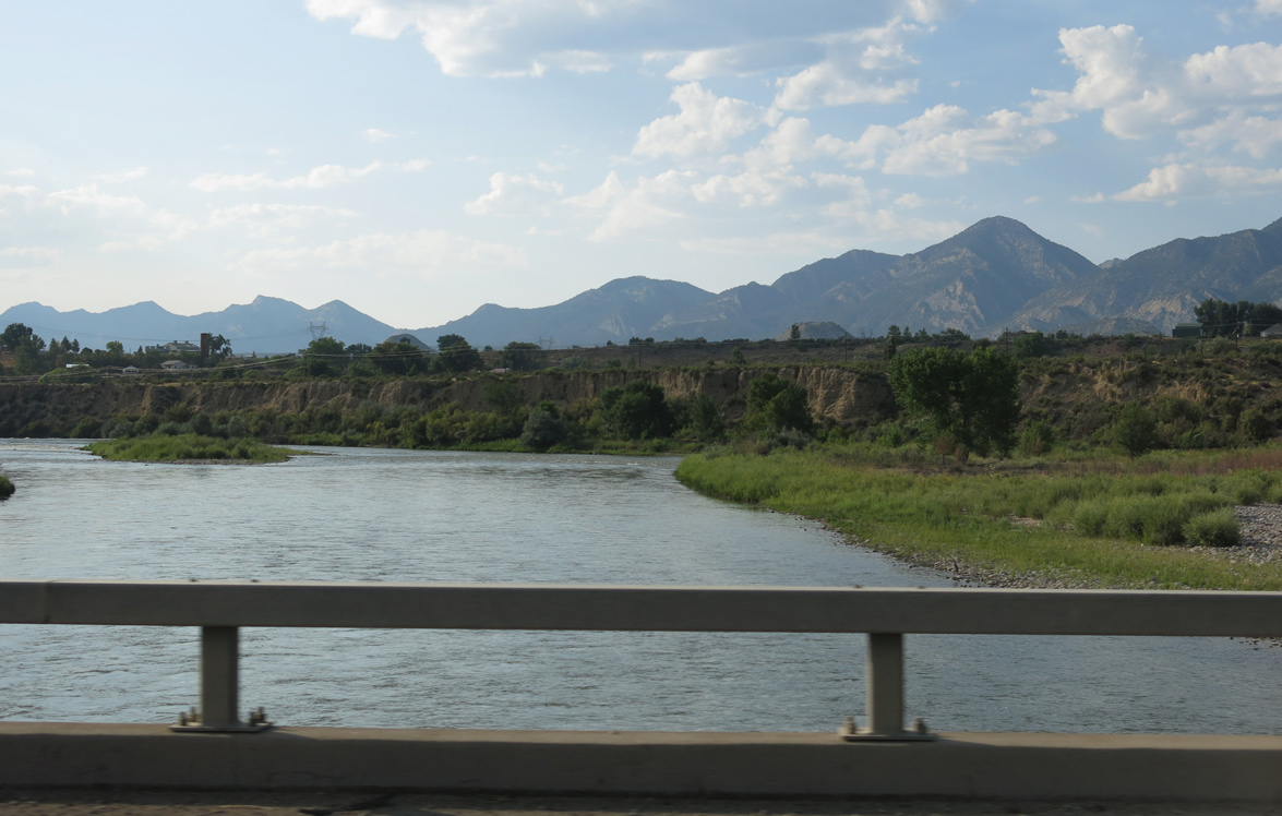
Downtown Glenwood Springs is located just south of the Colorado River, while the hot springs and several commercial areas are located north of Interstate 70.
08/15/13
08/15/13
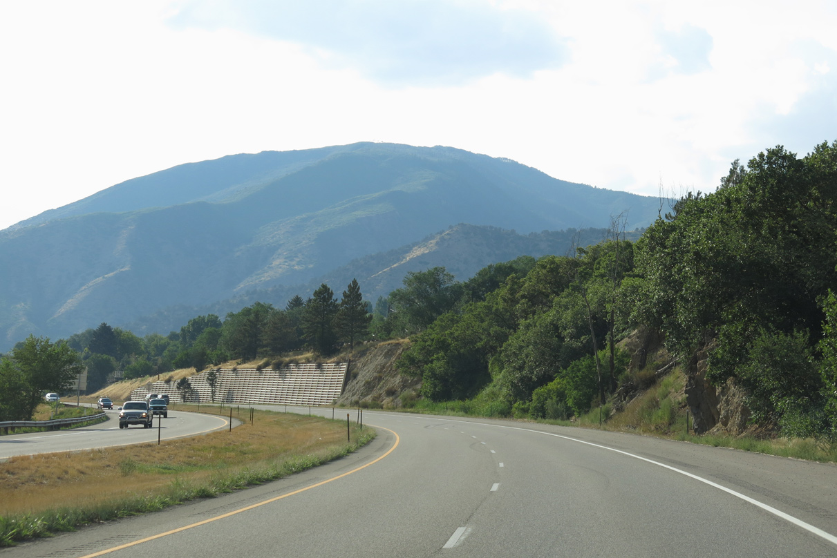
Storm King Mountain rises to the northwest of Glenwood Springs.
08/15/13
08/15/13
I-70 runs between Old U.S. 6-24, the north frontage road, and the Colorado River west to a dumbbell interchange (Exit 119) with Mel Ray Road north and Midland Avenue south.
08/15/13
08/15/13
Midland Avenue spans the Colorado River southeast en route to 8th Street west of Downtown Glenwood Springs. Mel Ray Road spurs north from a retail area by Exit 119 to residential areas along Donegan Road.
08/15/13
08/15/13
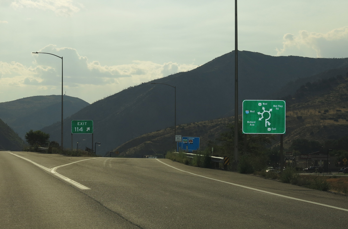
Adjacent Highway 6 spurs west to a dead end. Somewhat surprisingly, locals still refer to the north frontage road as Old U.S. 6-24.
08/15/13
08/15/13

08/15/13
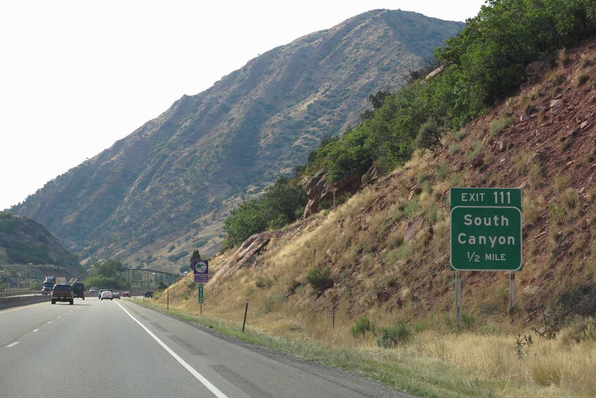
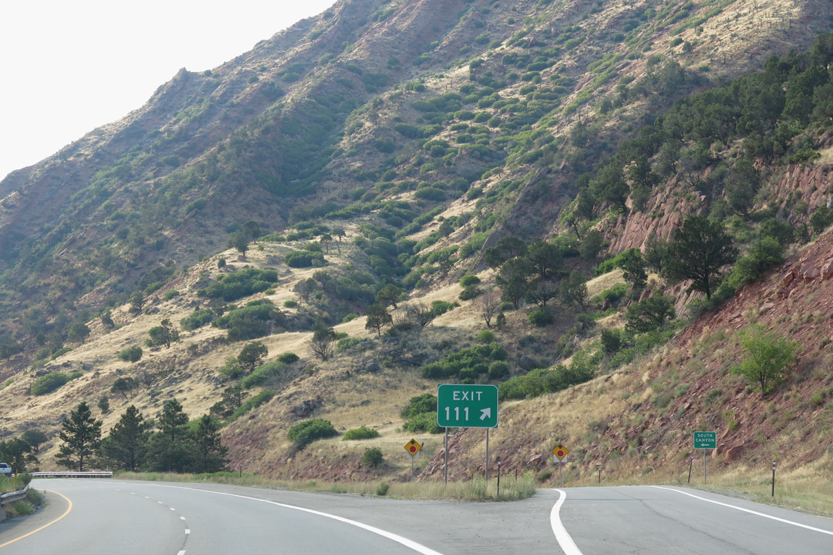
A diamond interchange links I-70 with CR 134 (South Canyon Creek Road) at Exit 111.
08/15/13
08/15/13
CR 134 spurs south across the Colorado River along South Canyon Creek to the Glenwood Springs city landfill and area ranch land.
08/15/13
08/15/13
08/15/13
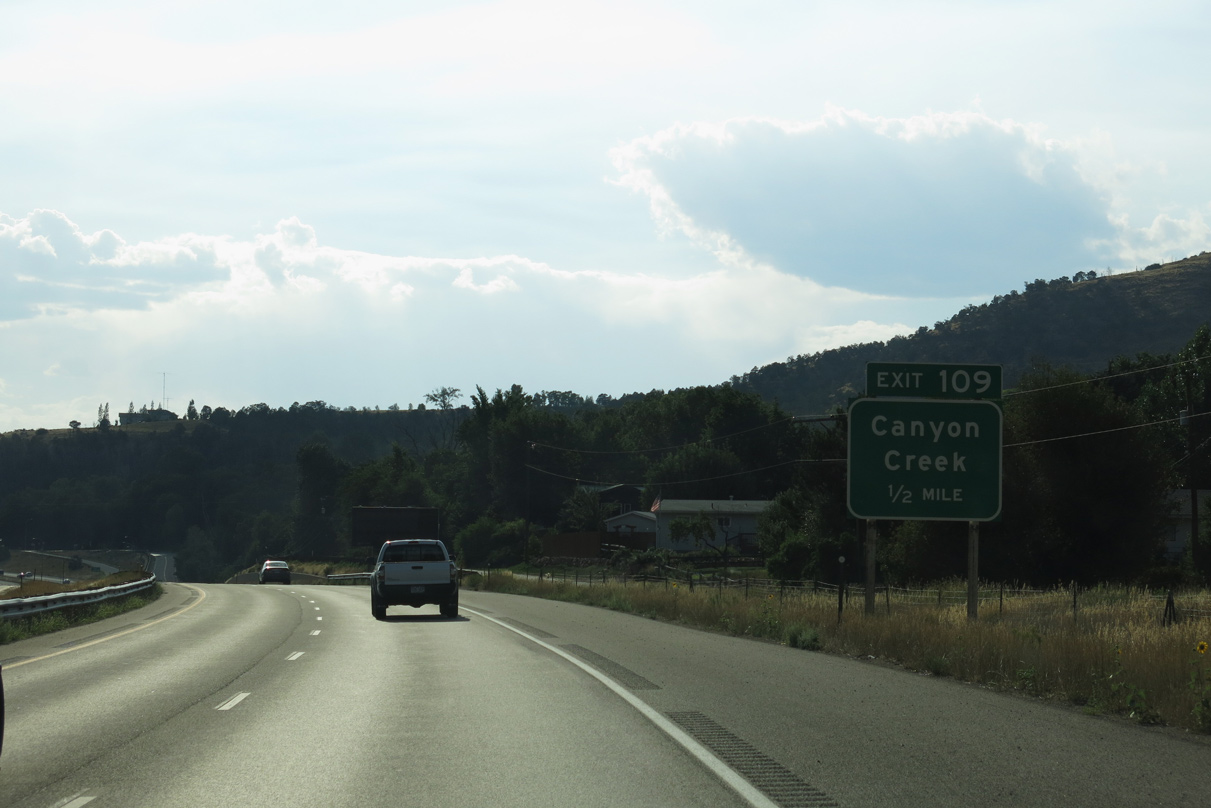
Old U.S. 6-24 resumes along the north side of I-70 leading to Canyon Creek and Chacra. U.S. 6 separates from I-70 west at forthcoming Exit 109.
08/15/13
08/15/13
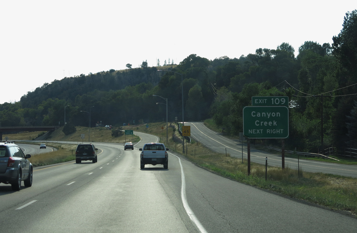
U.S. 6 along Route 006D parallels Interstate 70 to the north from Chacra west 18.531 miles to the Rifle city limits. Canyon Creek Road (CR 137) spurs north from Old U.S. 6-24 into a valley formed by Canyon Creek.
08/15/13
08/15/13
West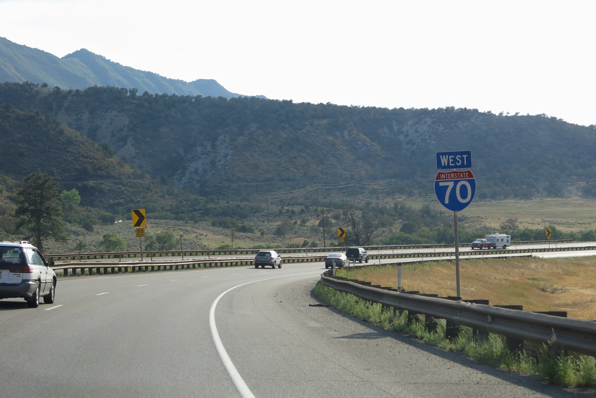
08/15/13
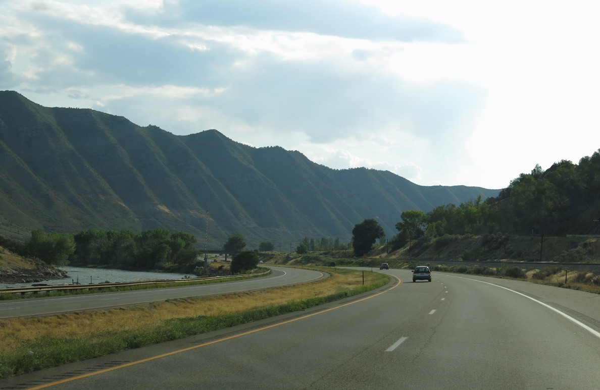
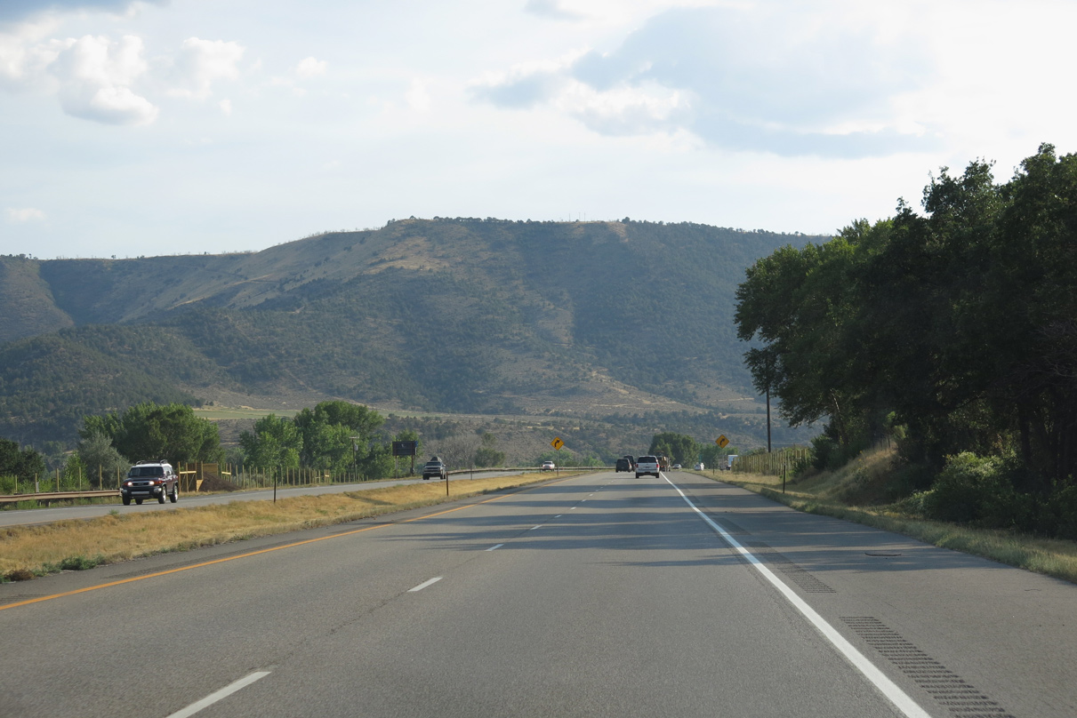
Continuing west from Canyon Creek, Interstate 70 runs north of the Colorado River and the Grand Hogback.
08/15/13
08/15/13
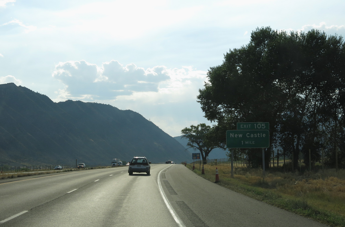
Advancing west, Exit 105 joins Interstate 70 with an access road to U.S. 6 in the town of New Castle and CR 335 along the south banks of the Colorado River.
08/15/13
08/15/13
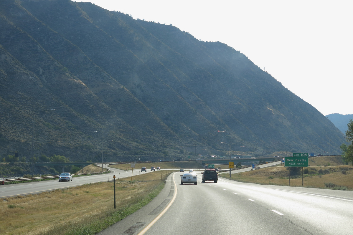
U.S. 6 leads west along Main Street into Downtown New Castle. Castle Valley Boulevard stems north from the access road at Exit 105 to Lakota Canyon Ranch golf course community and other subdivisions.
08/15/13
08/15/13
08/15/13
The Grand Hogback mountain chain extends northwest from New Castle to Grass Valley Reservoir.
08/15/13
08/15/13
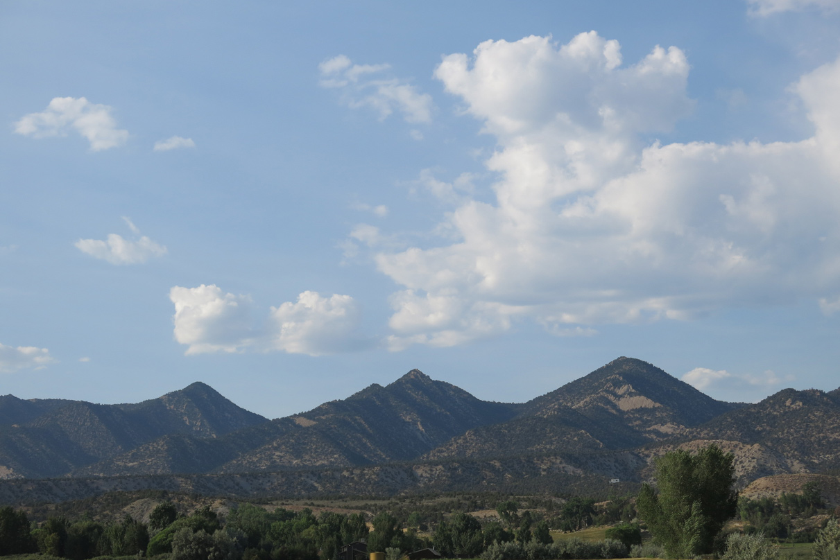
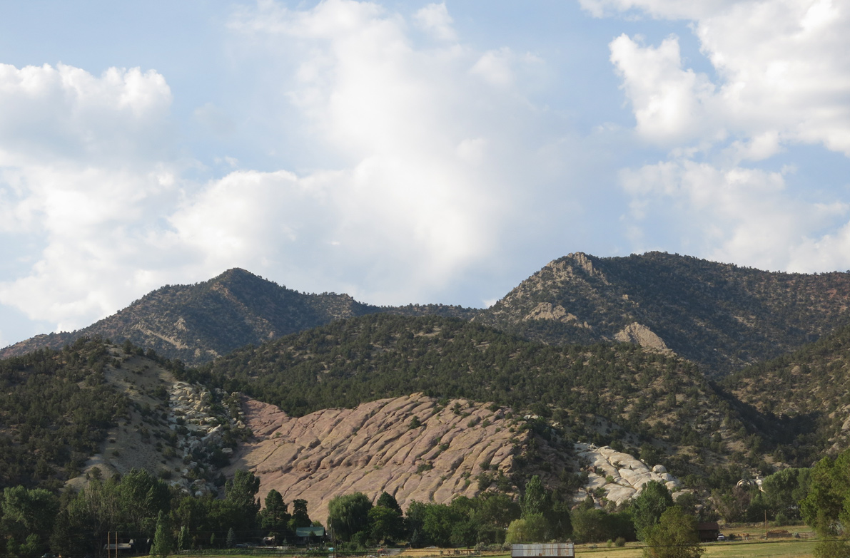
Burning Mountain is one of the peaks in the distant Grand Hogback.
08/15/13
08/15/13
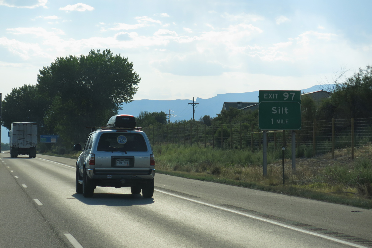
Exit 97 connects Interstate 70 with unsigned Business Spur I-70 (Route 070E) north along Ninth Street in the town of Silt.
08/15/13
08/15/13
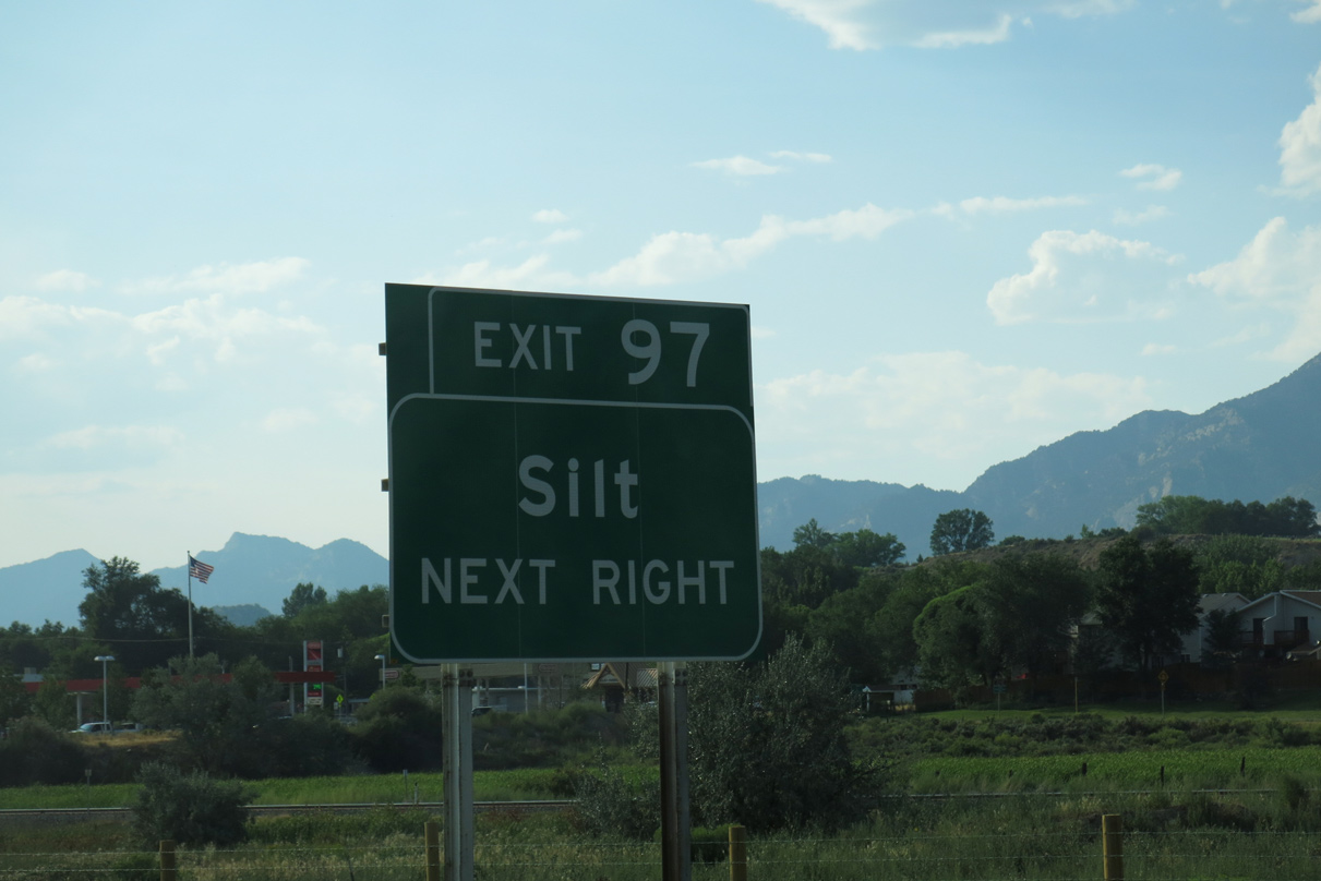
Entering the diamond interchange (Exit 97) with Business Spur I-70 (9th Street) north to U.S. 6 (Main Street) and south to CR 113. Touted as the town "where the sun rises with a smile" and "gateway to the outdoors," Silt is located near national forest lands, a blue heron rookery and Cactus Valley.
08/15/13
08/15/13
10/18/04
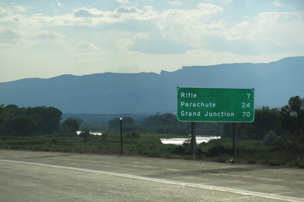
This distance sign posted west of Silt replaced an assembly referencing Grand Junction at 69 miles and Junction I-15 at 330 miles.
08/15/13
08/15/13
Interstate 70 shifts south of the Colorado River west of Silt until southwest Rifle.
08/15/13
08/15/13
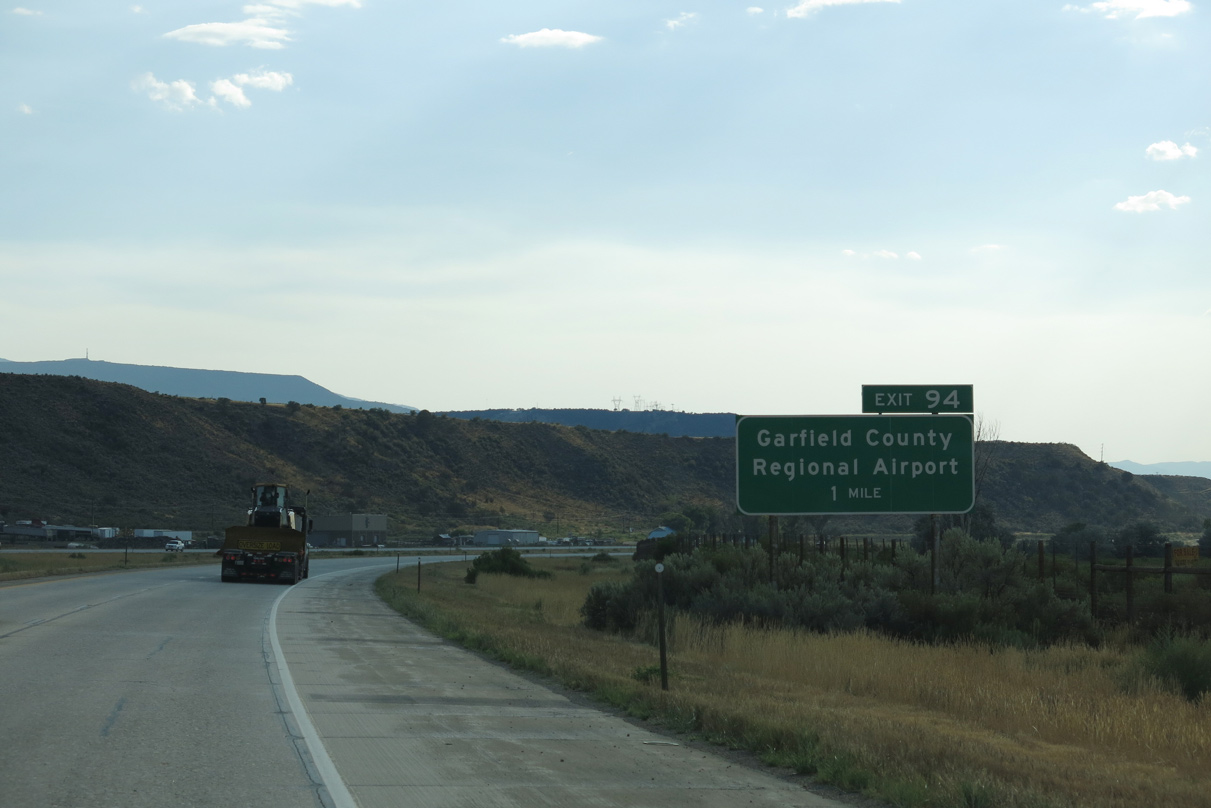
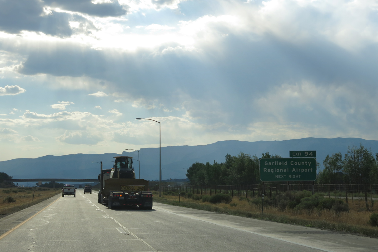
The succeeding exit from Interstate 70 west is for CR 315 (Mamm Creek Road) and Rifle Garfield County Airport (RIL).
08/15/13
08/15/13
08/15/13
08/15/13
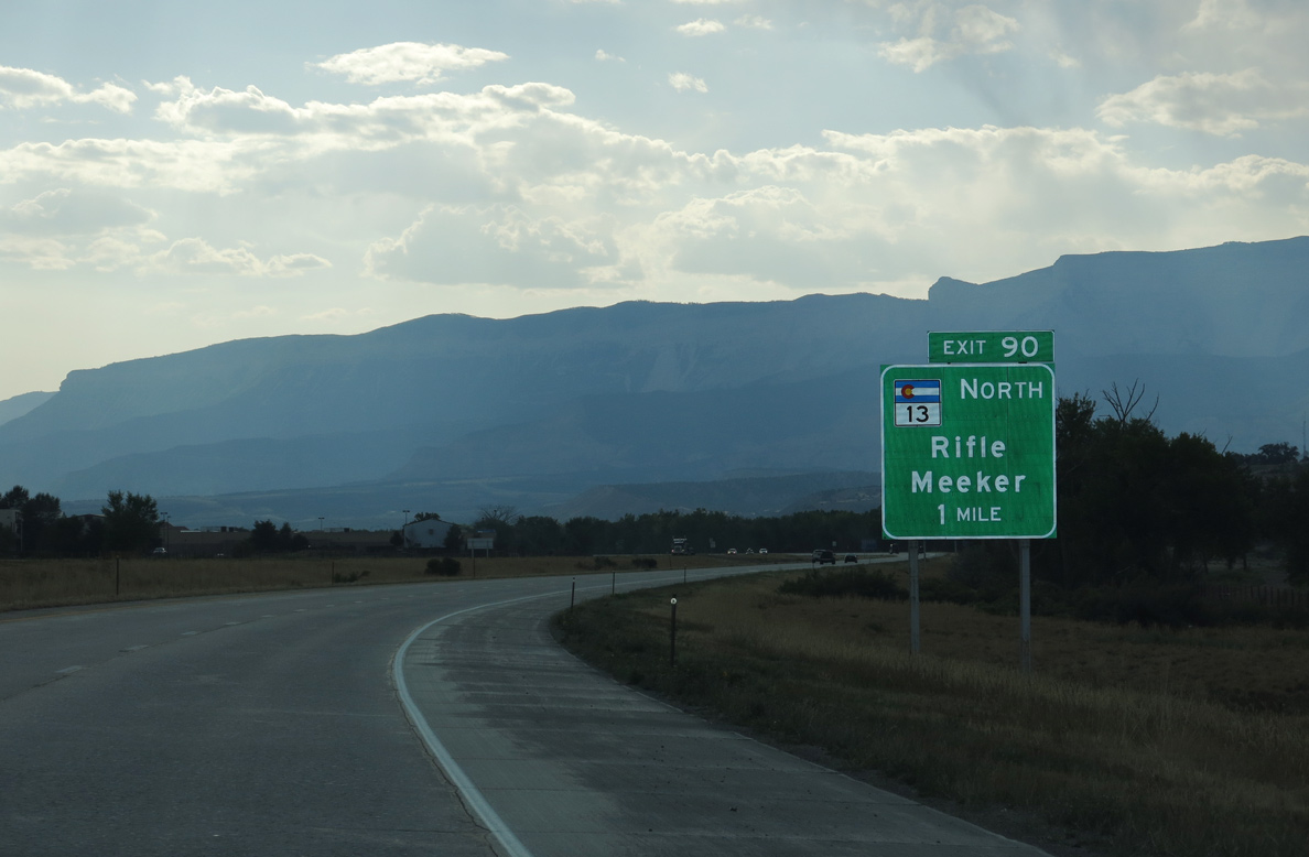
SH 13 stems north from I-70 at Exit 90 in the city of Rifle. Rifle is much lower in elevation (5,345 feet above sea level) than most of the mountain resort communities west of Denver within the Rocky Mountains. The city topped 10,000 residents by the 2020 Census.
08/15/13
08/15/13
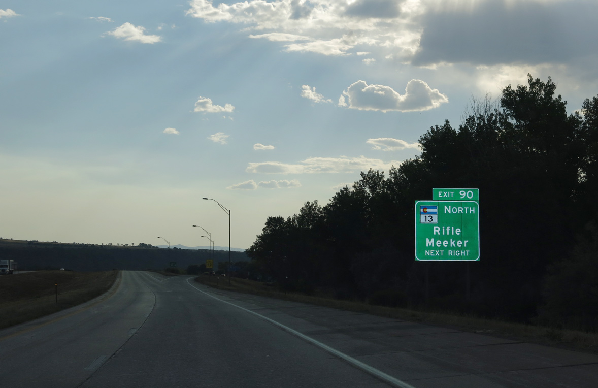
SH 13 is a major route in northwestern Colorado, as it follows the Grand Hogback ridge north out of Garfield County into Rio Blanco County. SH 13 meets U.S. 40 in Craig, then changes into WYO 789 upon entering the Equality State.
08/15/13
08/15/13
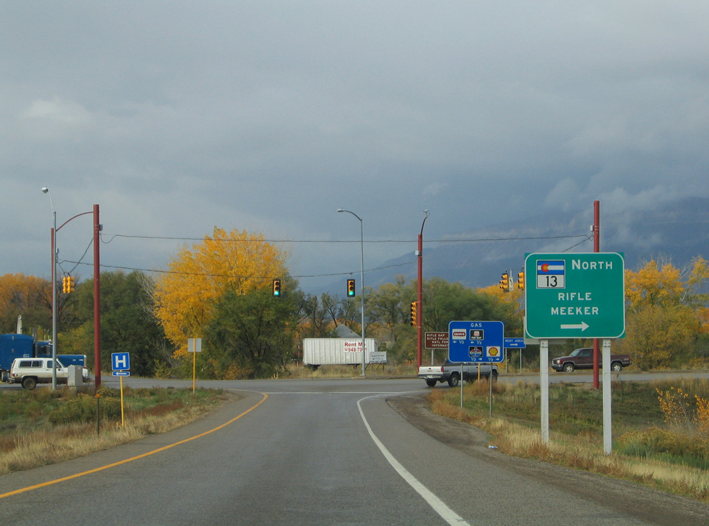
Only a 0.222 mile segment of SH 13 (Route 013C) is state maintained at the dumbbell interchange (Exit 90) with I-70. SH 13 resumes north from U.S. 6 along a westerly bypass of Rifle (Route 013A) toward SH 325 for Rifle Gap and Rifle Falls State Parks.
10/18/04
10/18/04
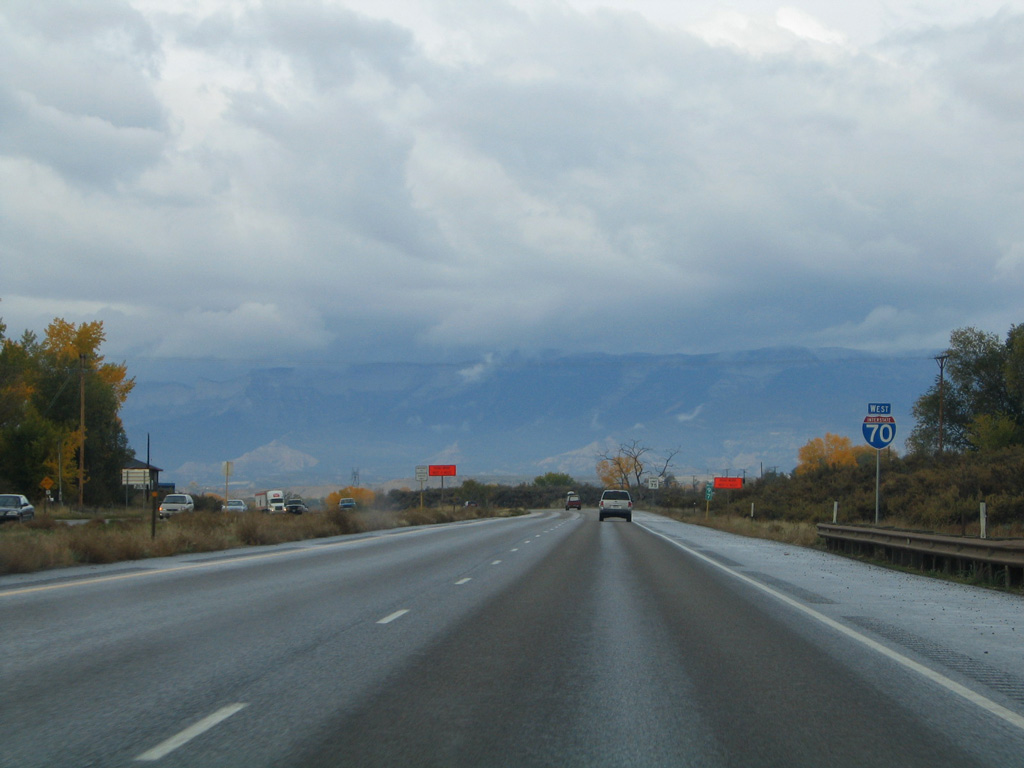
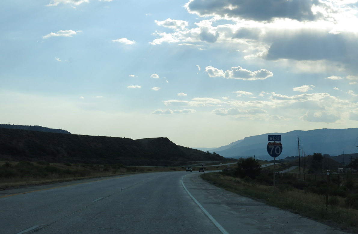
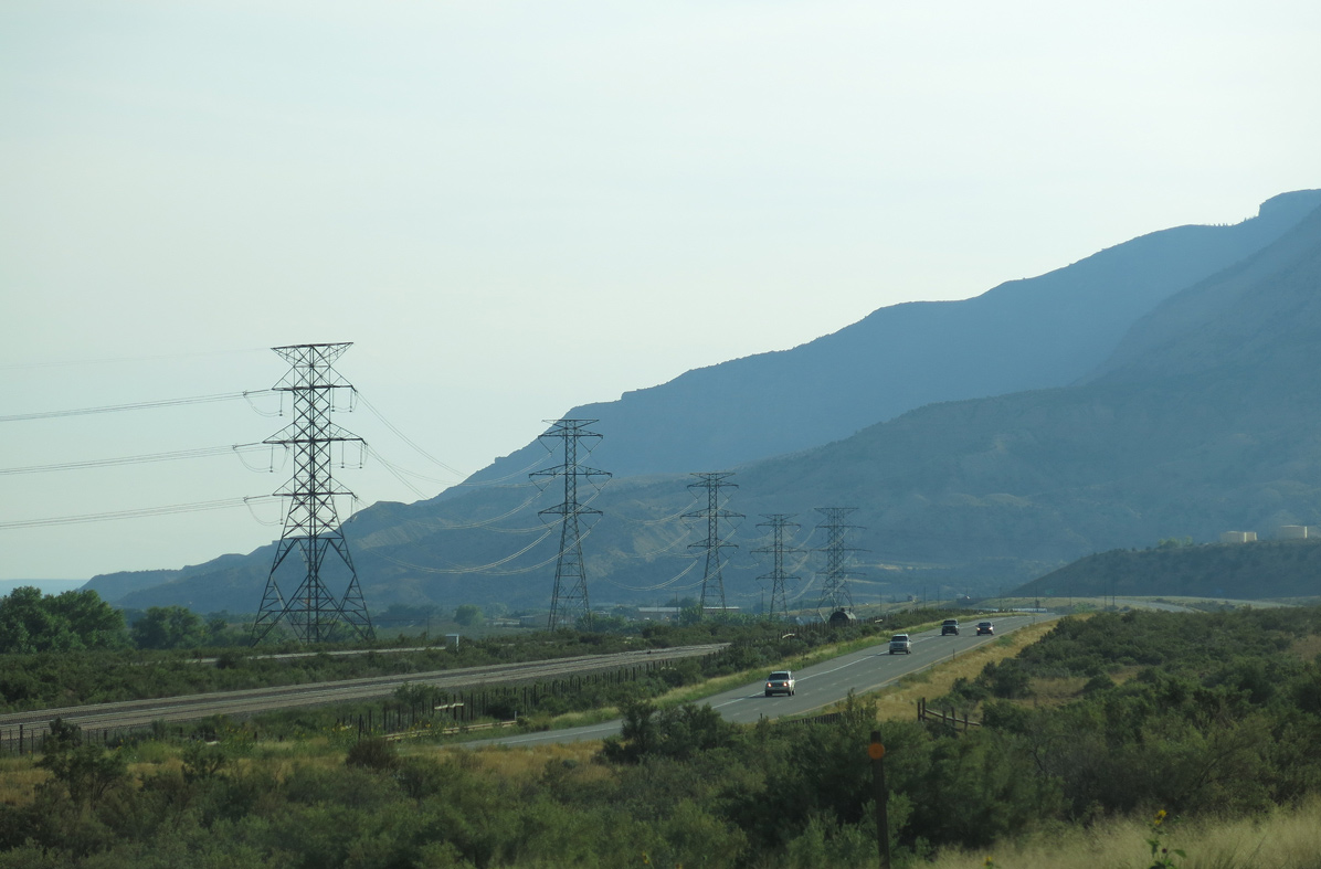
Interstate 70 continues following the riparian area alongside the Colorado River within the Cactus Valley.
10/18/04
10/18/04
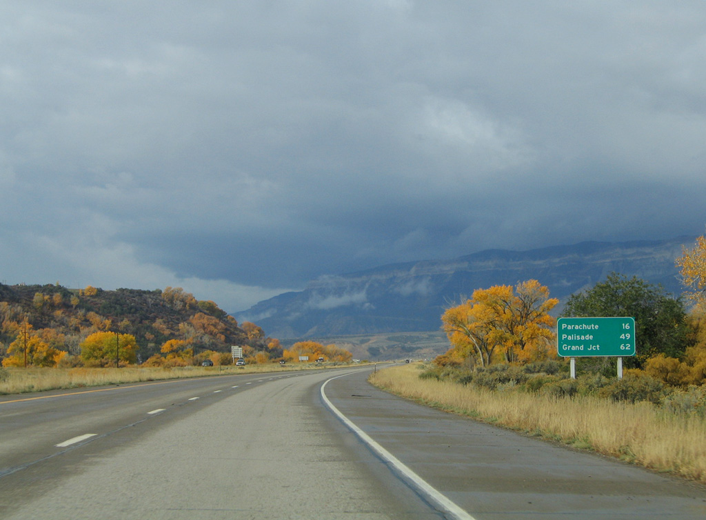
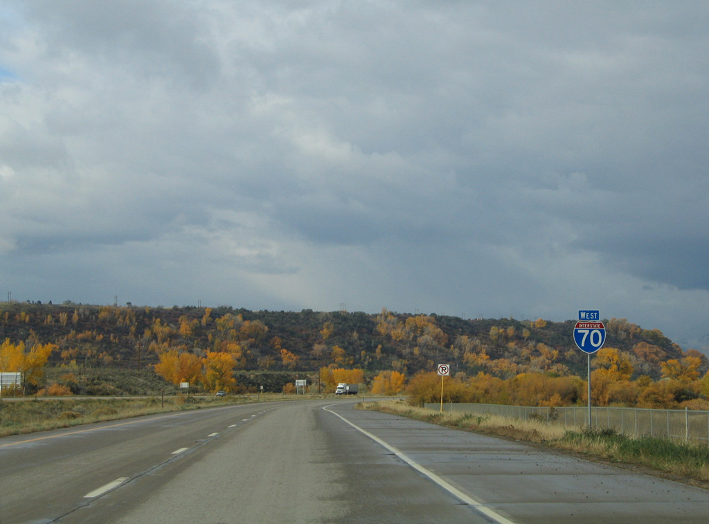
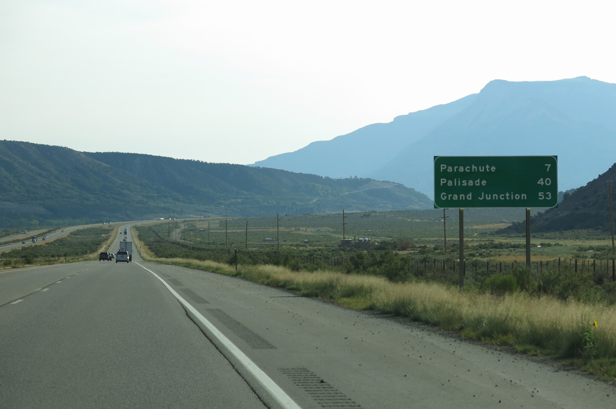
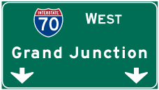
The regional center in Western Colorado for commerce, Grand Junction remains the control city for Interstate 70 west.
10/18/04
10/18/04
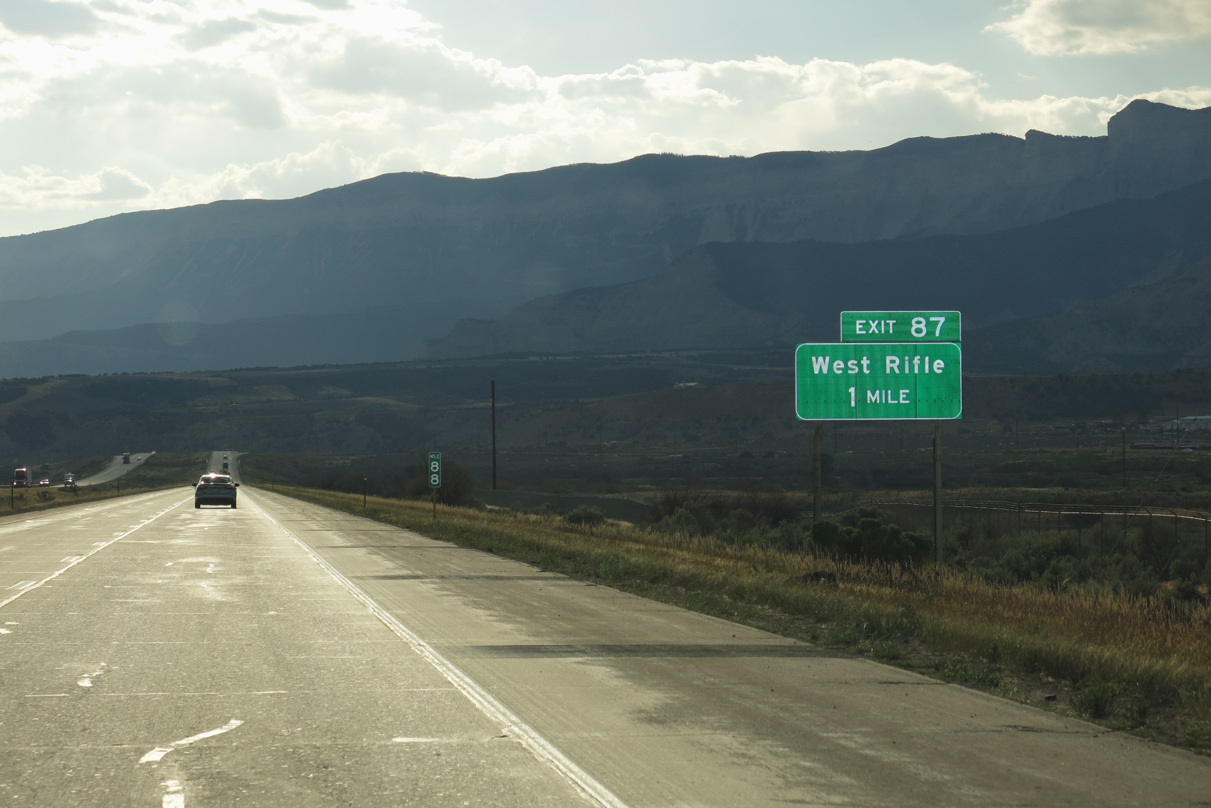
Interstate 70 crosses the Colorado River again ahead of the diamond interchange (Exit 87) with U.S. 6 east back into Rifle.
08/15/13
08/15/13
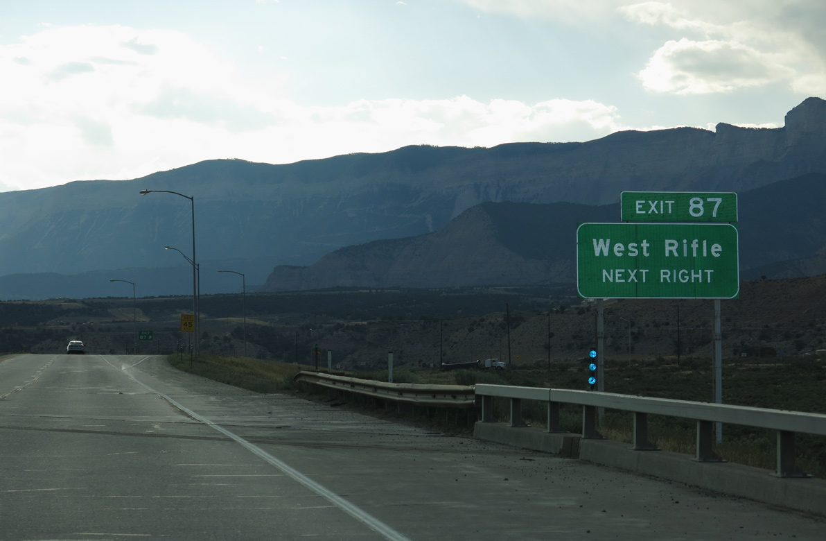
Exit 87 departs I-70 west just beyond a Union Pacific Railroad underpass for U.S. 6. U.S. 6 east 2.35 miles to SH 13 in Rifle is inventoried as Route 006L. U.S. 6 west is Route 006M, 26.59 miles to De Beque.
08/15/13
08/15/13

08/15/13
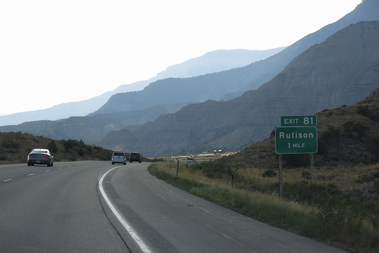
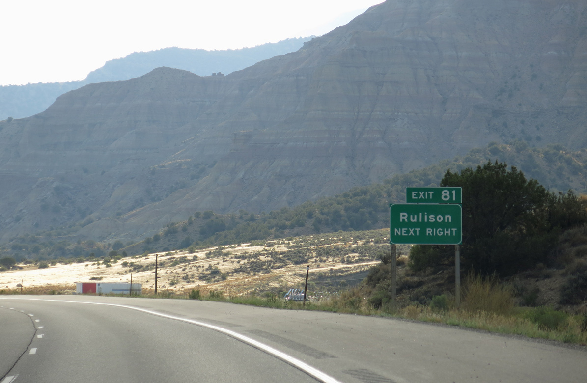
A diamond interchange (Exit 81) joins I-70 with CR 323 (Rulison Road) south to U.S. 6 at Rulison in one mile.
08/15/13
08/15/13
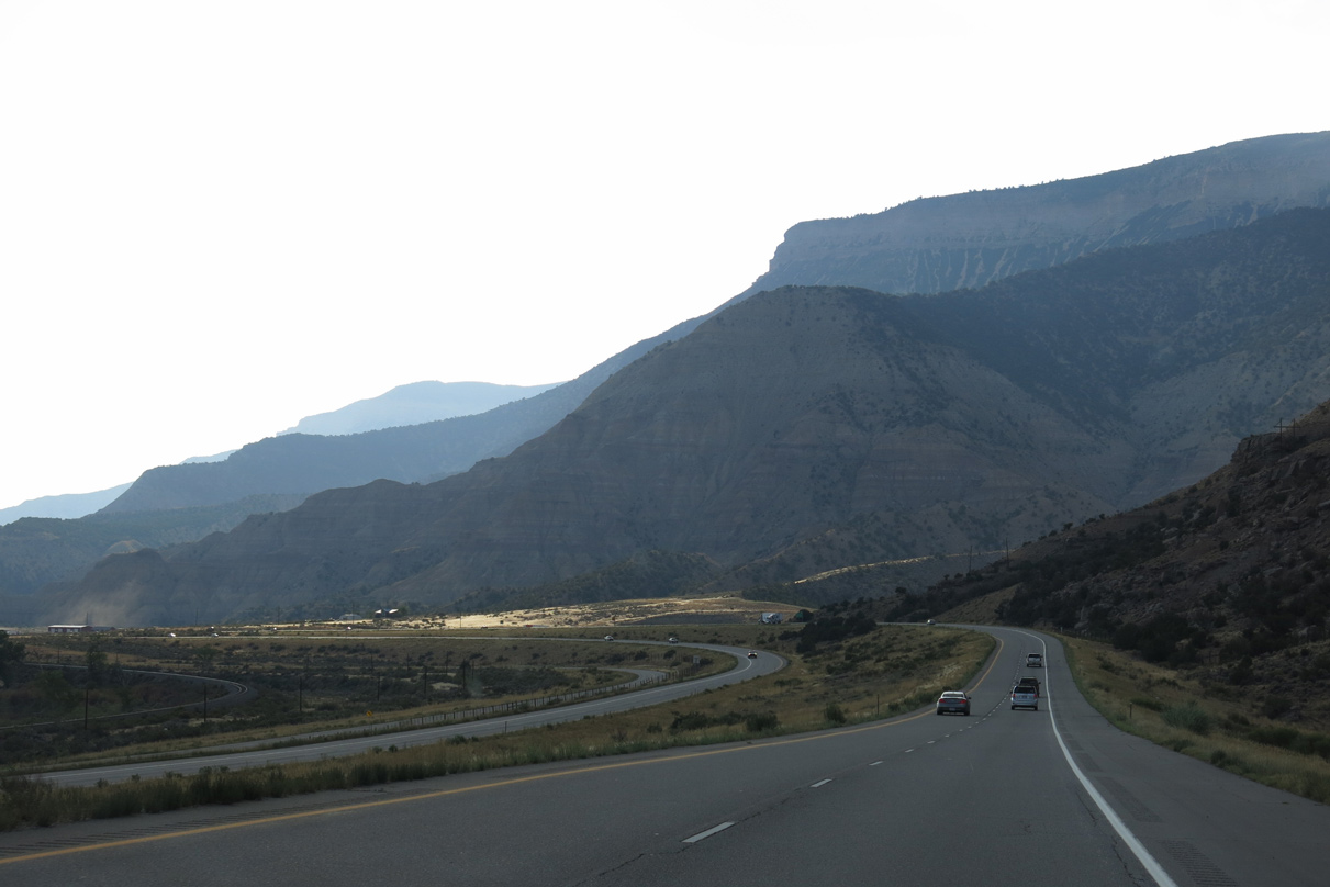
Interstate 70 navigates through an S-curve to Exit 81 southeast of Cottonwood Point on the Roan Cliffs.
08/15/13
08/15/13
CR 323 (Rulison Road) extends south past U.S. 6 and the Union Pacific Railroad across the Colorado River to CR 320 and several ranches.
08/15/13
08/15/13
08/15/13
Situated at an elevation of 5,095 feet above sea level, the town of Parachute is the last community along Interstate 70 west in Garfield County.
08/15/13
08/15/13
08/15/13
References:
- Glenwood Canyon I-70 Final Link - 50th Anniversary of the Interstate System. Colorado Department of Transportation (CDOT).
- Glenwood Canyon: Guide (Matt Salek).
http://www.mesalek.com/ colo/r1-19.html#13
Photo Credits:
- Andy Field: 08/28/04, 08/15/13
- AARoads: 10/18/04
Connect with:
Page Updated Sunday January 23, 2022.