
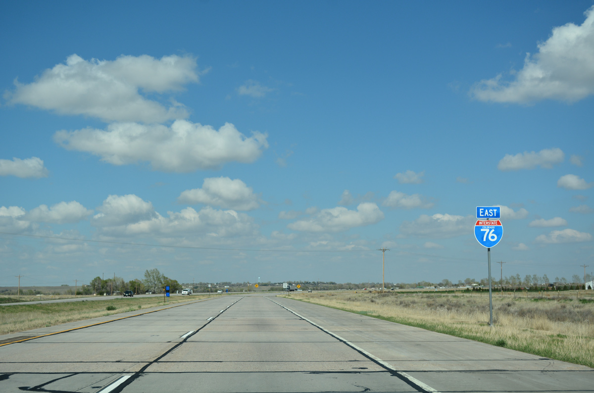
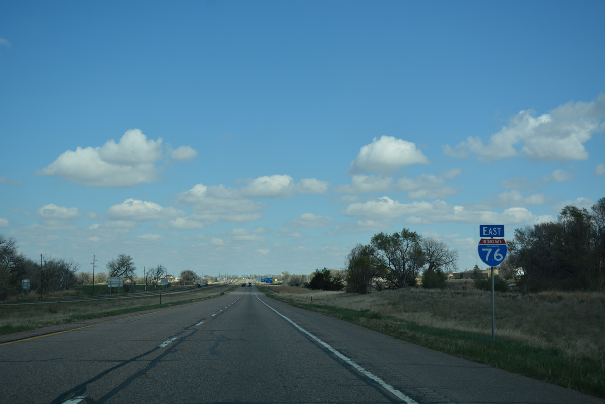
Interstate 76 East - Fort Morgan to Brush

 East
East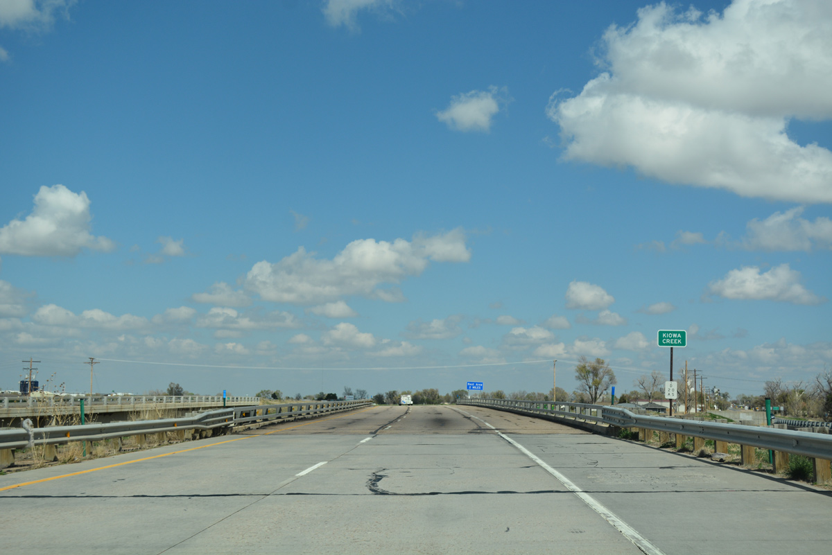
I-76/U.S. 6 shift one mile north to bypass Wiggins from Kiowa Creek to the overlap with U.S. 34.
04/22/17
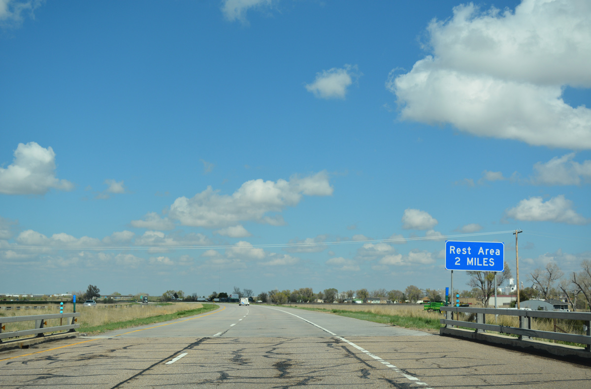
The off freeway rest area at Wiggins lies just south of Exit 66A in two miles.
04/22/17
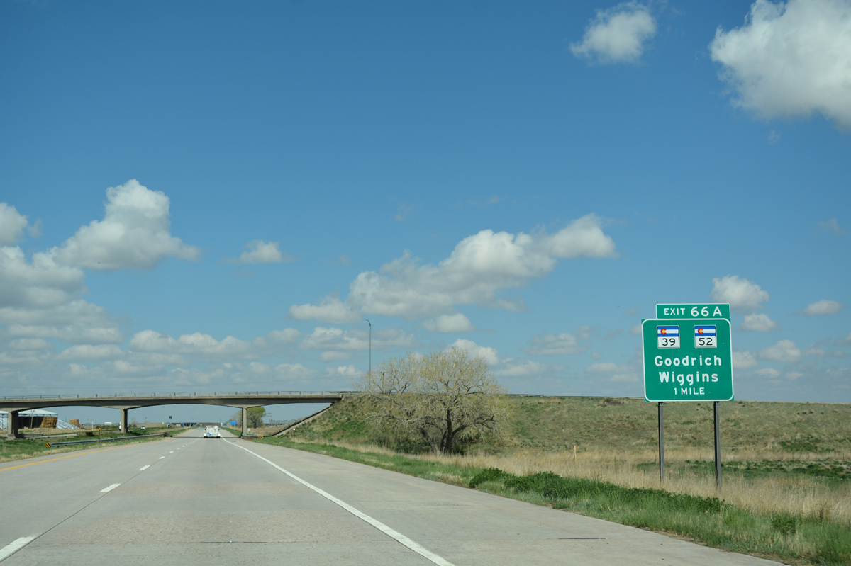
SH 39 south and SH 52 east come together at a three quarter diamond interchange with Interstate 76. SH 39 travels 7.57 miles north to SH 144 in Goodrich, near Jackson Lake State Park.
04/22/17
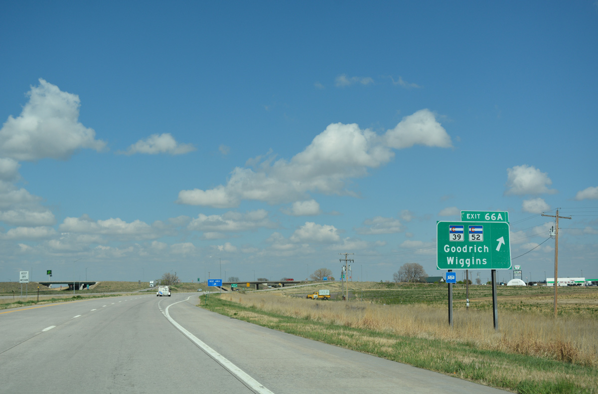
Exit 66A departs I-76/U.S. 6 east for SH 39 north to U.S. 34 west and SH 52 south to adjacent Central Avenue (Route 006J). SH 52 heads due south 12 miles to County Road F, and 33 miles west to the previous meeting with Interstate 76 at Hudson.
04/22/17

The CDOT Rest Area at Wiggins lies just south of Interstate 76 along Central Avenue (Route 006J) and west of the wye interchange where U.S. 34 joins the freeway from Greeley.
04/22/17
 East
East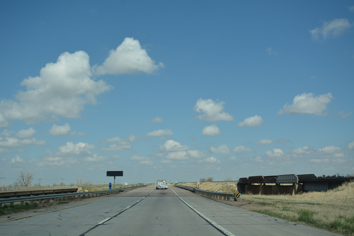
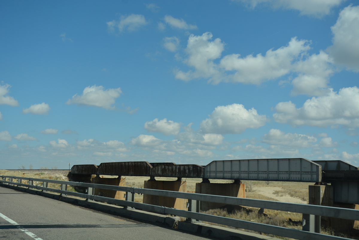
Four bridges cross over the wash of Bijou Creek at milepost 67. They carry the I-76 freeway mainline, the north frontage road (old U.S. 6/34) and the BNSF Railroad.
04/22/17
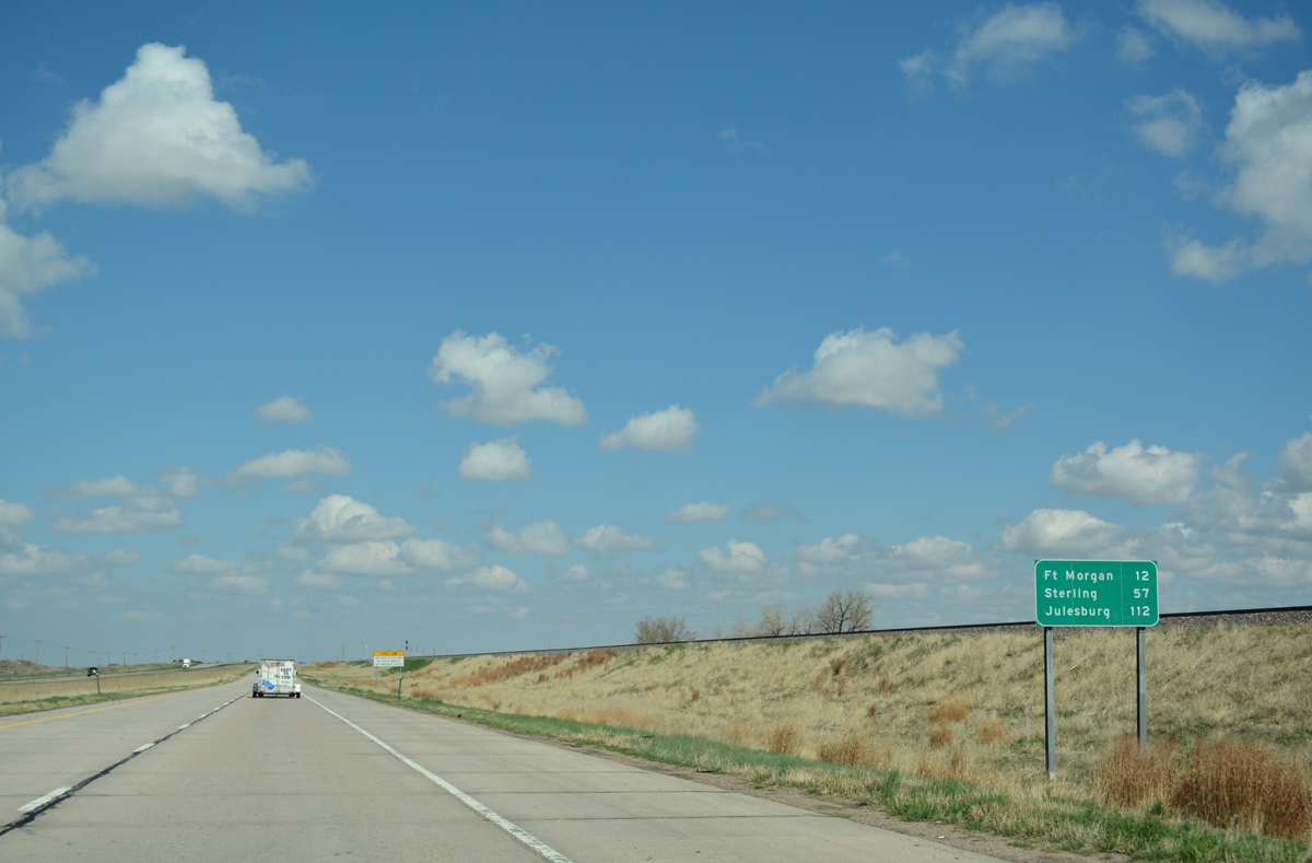
Julesburg debuts on eastbound distance signs at 112 miles out. The first of four interchanges for Fort Morgan lies eight miles ahead.
04/22/17
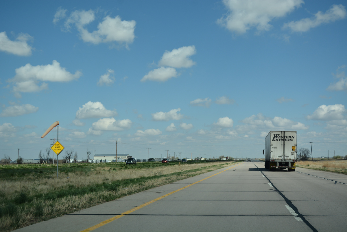
High winds regulatory sign and wind sock posted by milepost 70 and the railroad siding of Valley. The freeway travels around 4,500 feet above sea level on this stretch.
04/22/17
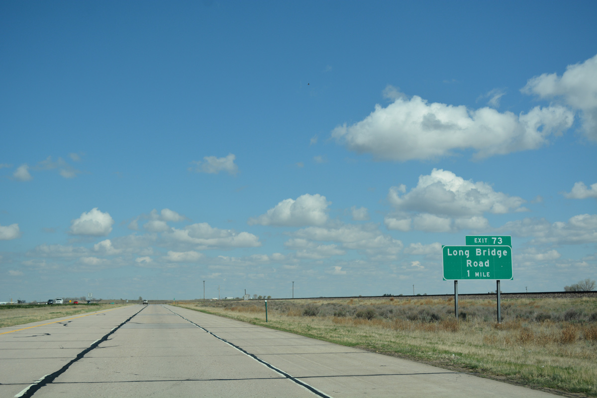
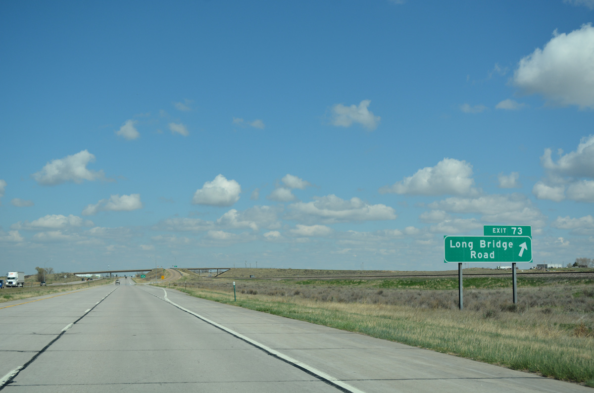
A rural diamond interchange (Exit 73) joins I-76/U.S. 6-34 with Morgan County Road 12 (Long Bridge Road), one mile east of Griffin.
04/22/17
County Road 12 (Long Bridge Road) runs north 5.1 miles from Exit 73 to SH 144 at the Narrows along the South Platte River. Southward the road becomes unpaved to the Ashley oil and gas field.
04/22/17
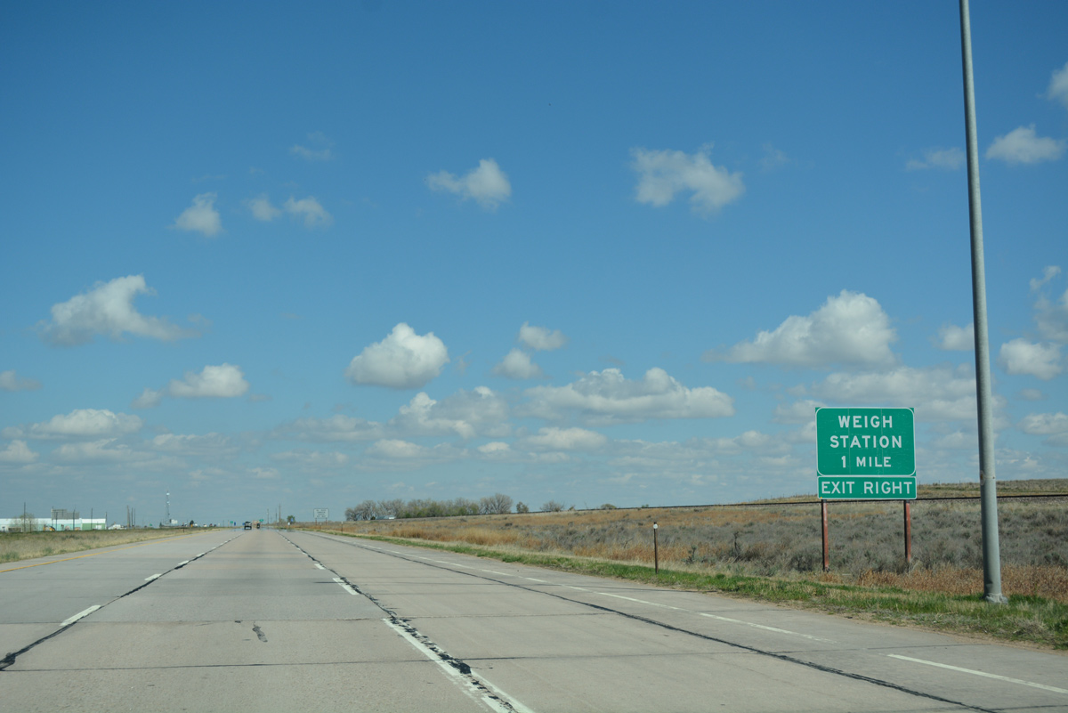
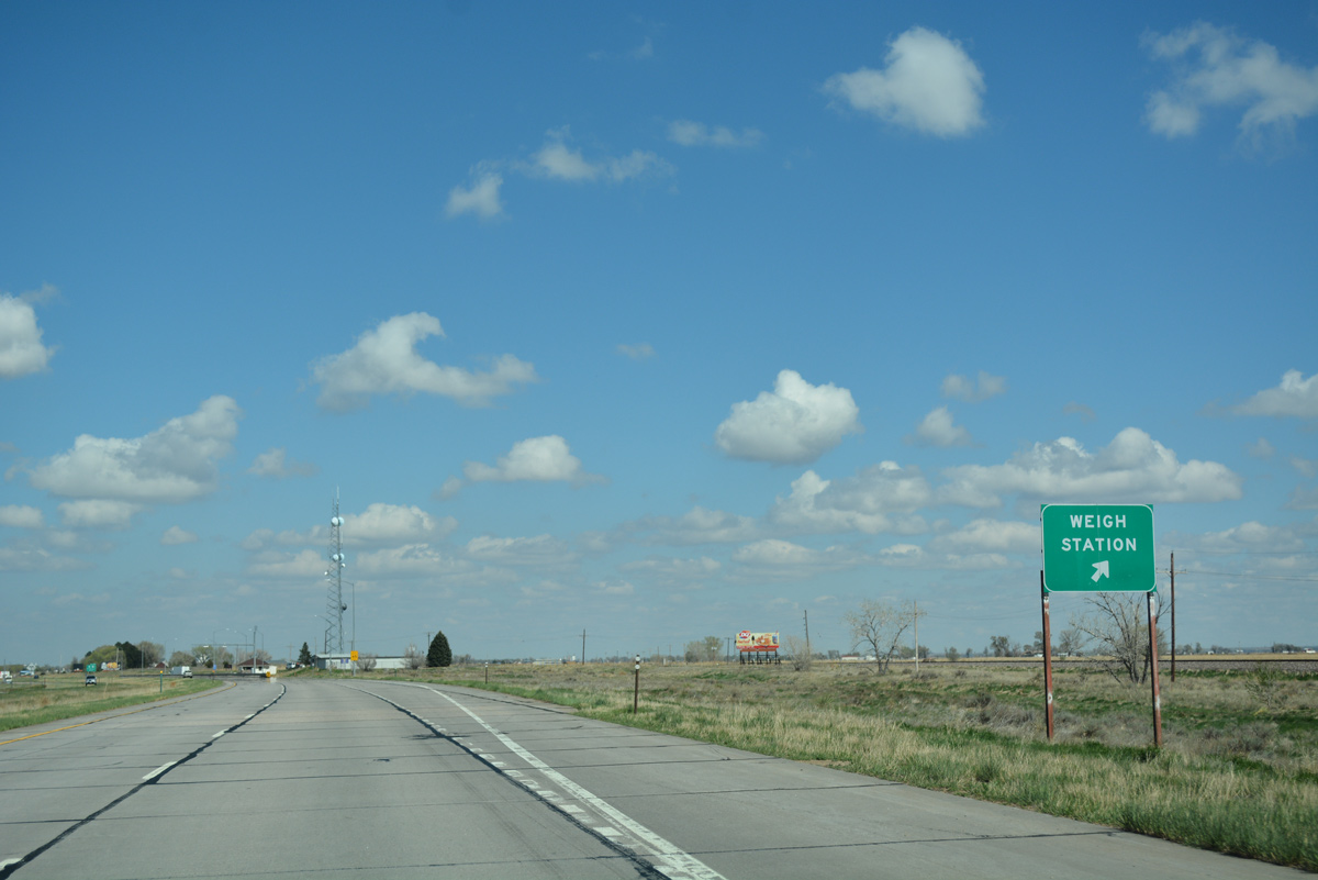
Interstate 76 curves north, gaining one and a half miles of attitude from Long Bridge Road to milepost 77. A pair of weigh stations operate in both directions along the stretch.
04/22/17

U.S. 34 separates from its implied overlap with I-76/U.S. 6 to accompany Business Loop I-76 east through Fort Morgan and Brush. The business route also links with the continuation of SH 52 (Main Street) north from Downtown Fort Morgan. U.S. 6 remains as the unsigned counterpart of I-76 to bypass both cities.
04/22/17

Business Loop I-76 follows a combination of U.S. 34, U.S. 34 Spur, and U.S. 6 from Exit 75, west of Fort Morgan, to the south Sterling limits, 48.6 miles to the northeast. U.S. 34 (Platte Avenue) stays south of Interstate 76 to Brush, where it leaves the corridor for good en route to Akron.
04/22/17
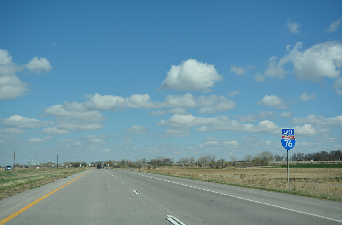
East
Continuing north from the parclo interchange (Exit 75) with U.S. 34 and Business Loop I-76 east on I-76, travelers are again advised of potential high winds.
04/22/17
I-76/U.S. 6 gradually turn east to parallel the South Platte River to northern reaches of Fort Morgan.
04/22/17
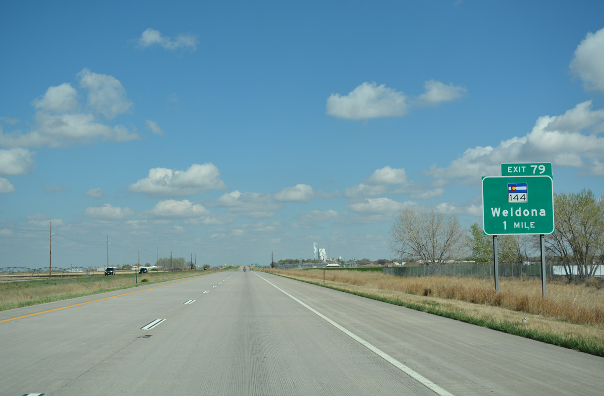
SH 144 returns to Interstate 76 from Goodrich and Weldona to end at Exit 79 in one mile.
04/22/17
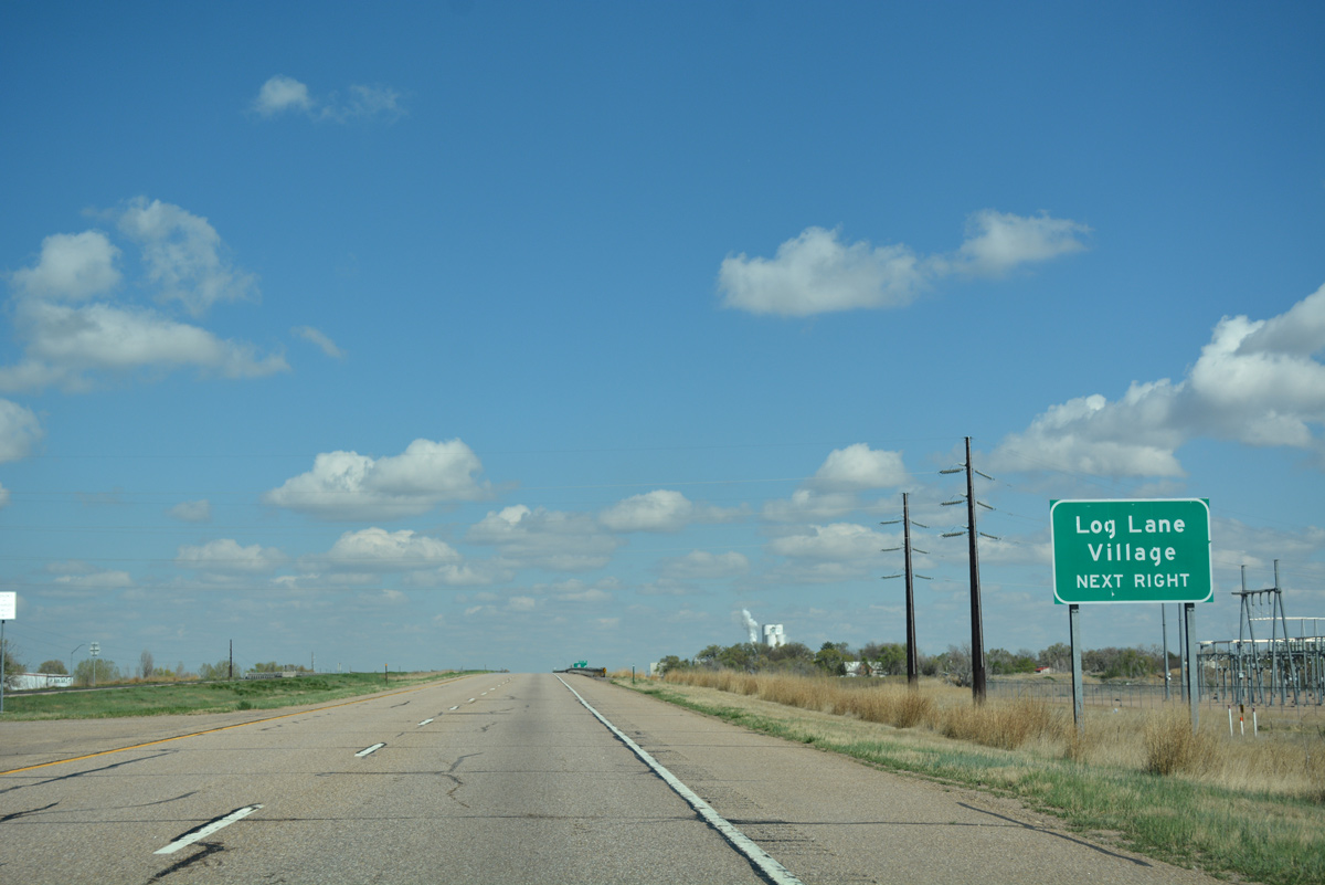
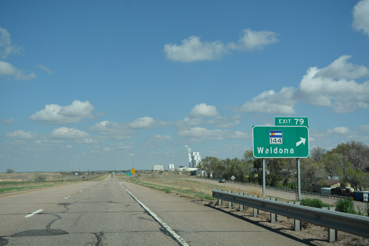
SH 144 runs alongside Fort Morgan Canal as it crosses Interstate 76. A folded diamond interchange (Exit 79) joins the two routes on the south side of Log Lane Village.
04/22/17
East from Exit 79, SH 144 follows Riverview Avenue into Fort Morgan. The state highway concludes a 28.80 mile route at SH 52 (Main Street) nearby.
04/22/17
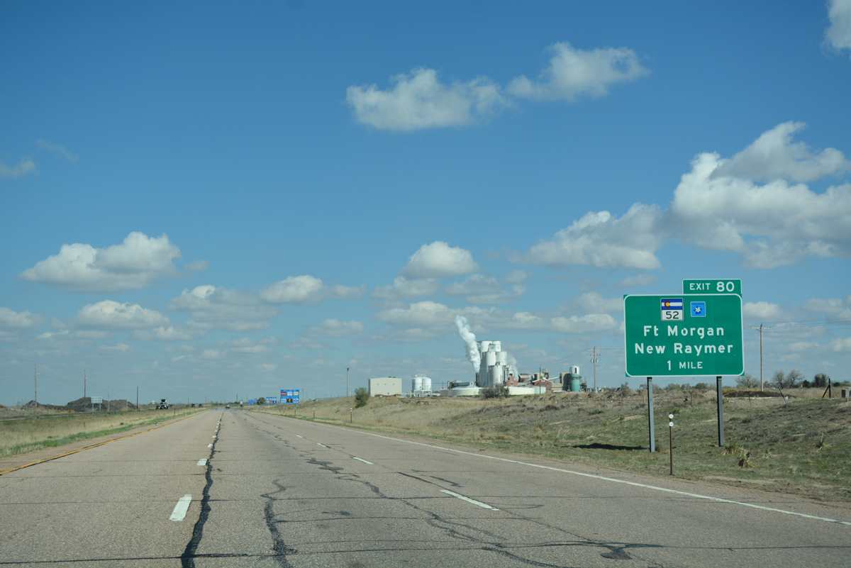
SH 52 (Main Street) crosses paths with Interstate 76 again at a diamond interchange (Exit 80) on the north side of Fort Morgan. The state highway heads north 24.3 miles to SH 14.
04/22/17
Interstate 76 enters the Fort Morgan municipal limits at forthcoming Exit 80. A city of over 10,000, Fort Morgan was founded in 1884. A regional hub, its website extolled the fact that it is less than an hour's drive from Denver International Airport (DEN).
04/22/17
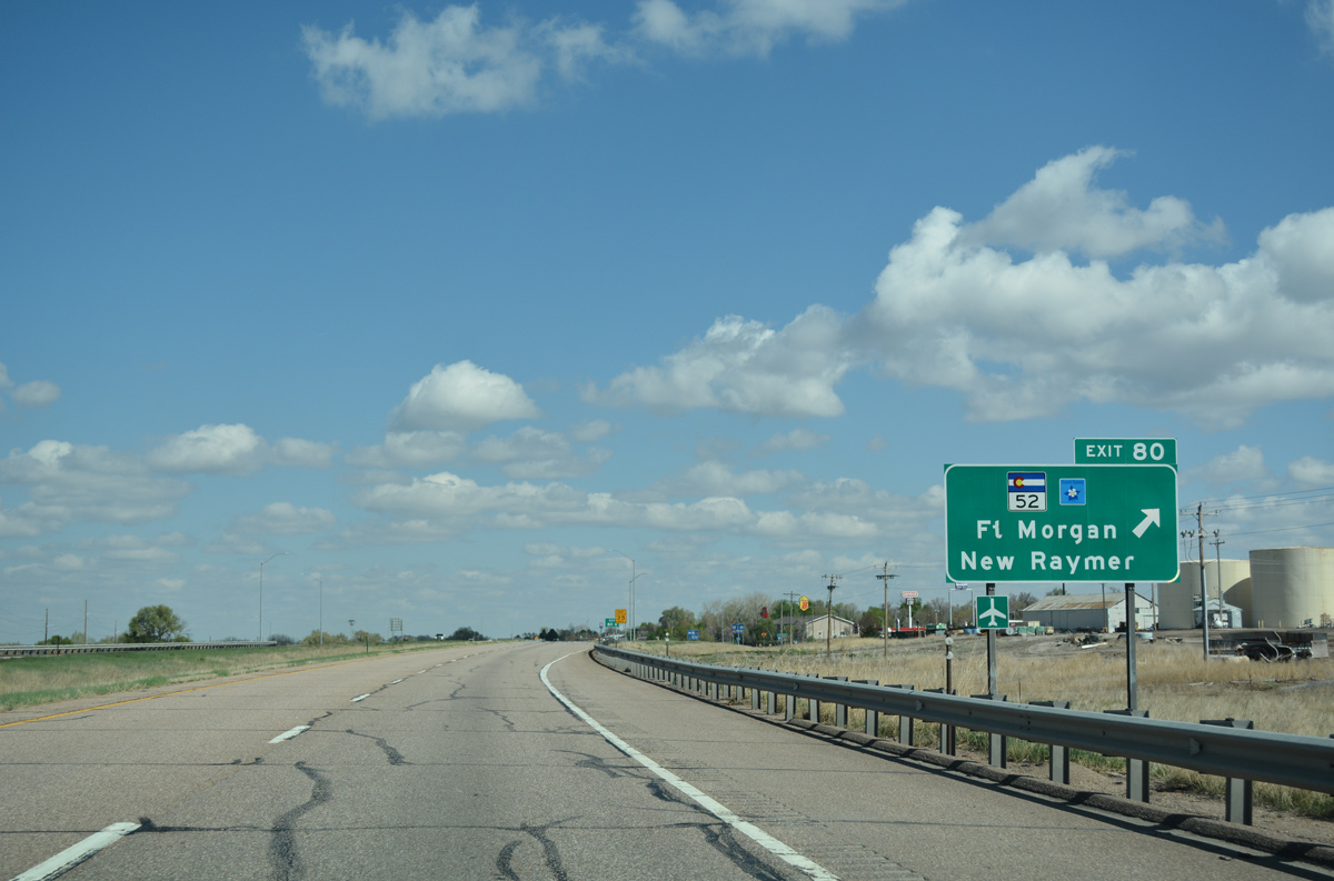
Exit 80 leaves I-76/U.S. 6 east for SH 52 north to Raymer. SH 52 forms the south leg of the 128 mile long Pawnee Pioneer Trails scenic byway, which includes SH 14 east to Sterling and CR 129 north from Raymer.
04/22/17
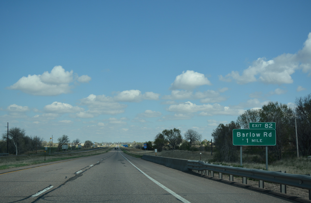
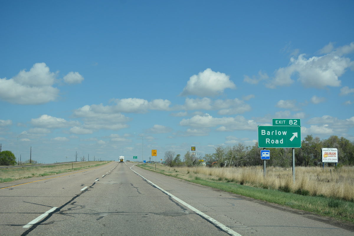
I-76/U.S. 6 advance east one mile to a diamond interchange (Exit 82) with Barlow Road.
04/22/17
Confirming marker for Interstate 76 east posted east of the Upper Platte and Beaver Canal and Riverside Park.
04/22/17
Barlow Road spurs north from Exit 82 to a campground along the South Platte River and south from Interstate 76 to Morgan Community College and Business Loop I-76 (Platte Avenue) in 0.6 miles.
04/22/17
Leaving the Fort Morgan city limits, Interstate 76 travels between the South Platte River and Upper Plate and Beaver Canal.
04/22/17
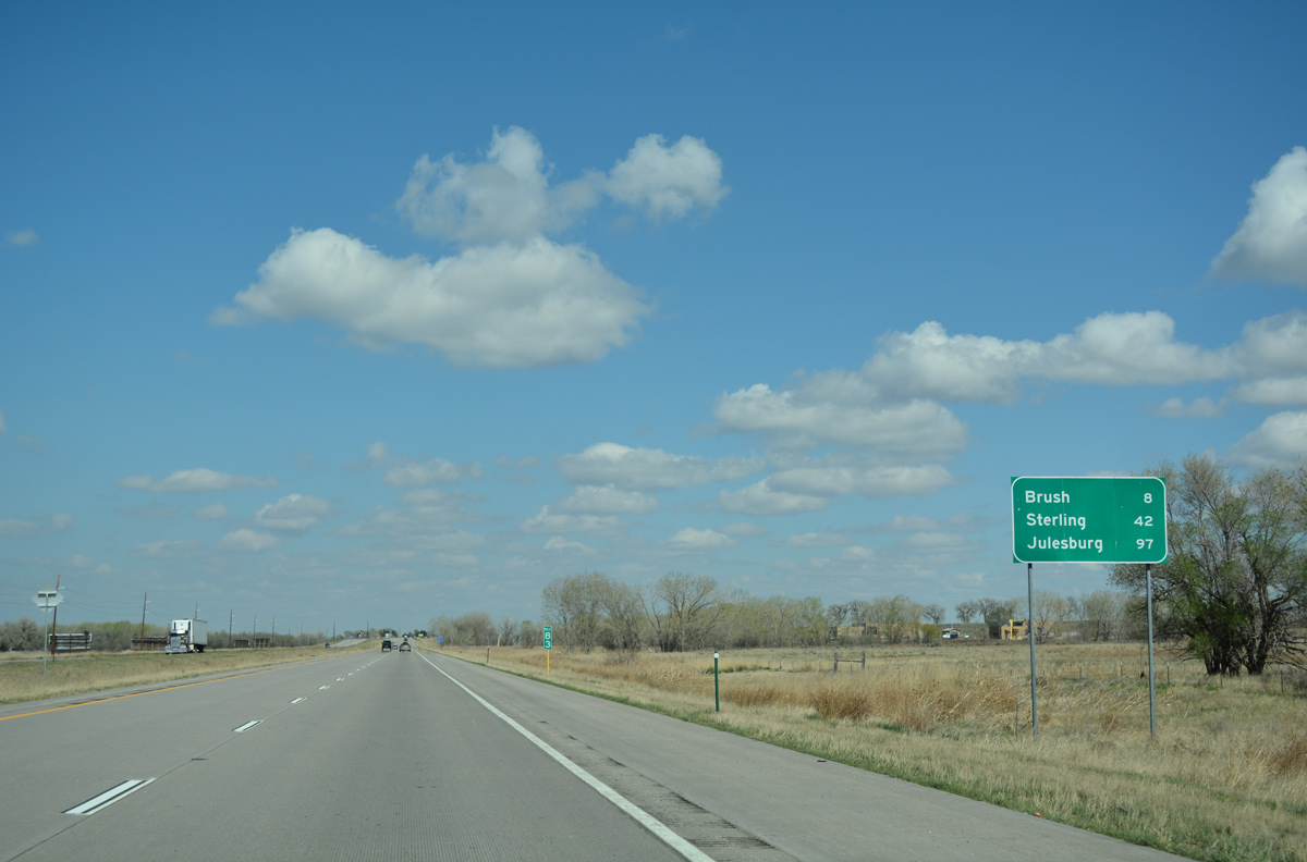
Neighboring Brush, a city of over 5,000, is located eight miles to the east along Business Loop I-76 and U.S. 34. Julesburg is less than 100 miles away.
04/22/17
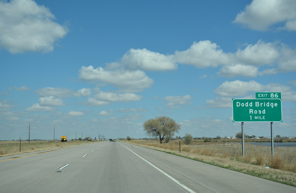
Dodd Ridge Road (County Road 24) and Interstate 76 come together at Exit 86 in one mile. Exit 86 was revamped from a tight parclo A2 to a diamond interchange as part of overall reconstruction of I-76 between mile markers 84.9 and 91.1 from April 2013 to the end of 2014.1
04/22/17
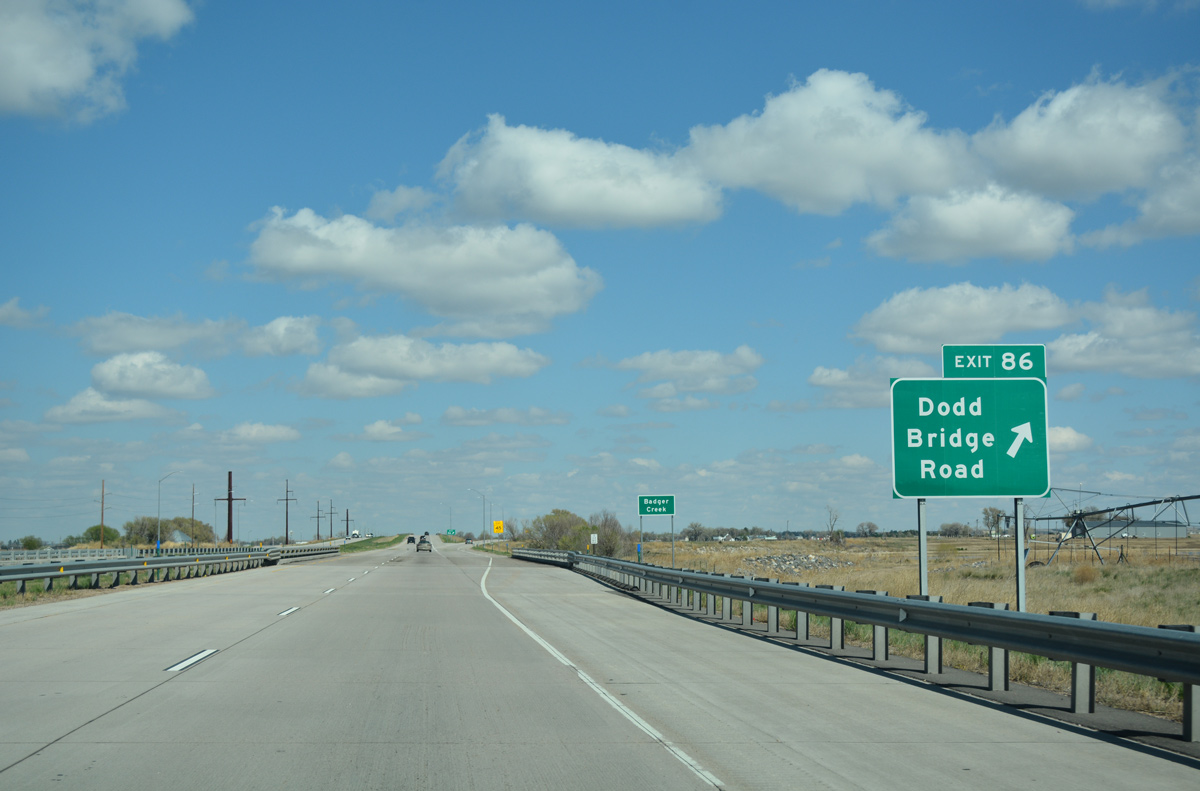
Dodd Ridge Road (County Road 24) extends north across the South Platte River through agricultural areas to County Road Y and south to Business Loop I-76/U.S. 34.
04/22/17
This reassurance marker stands ahead of the County Road 25 underpass.
04/22/17
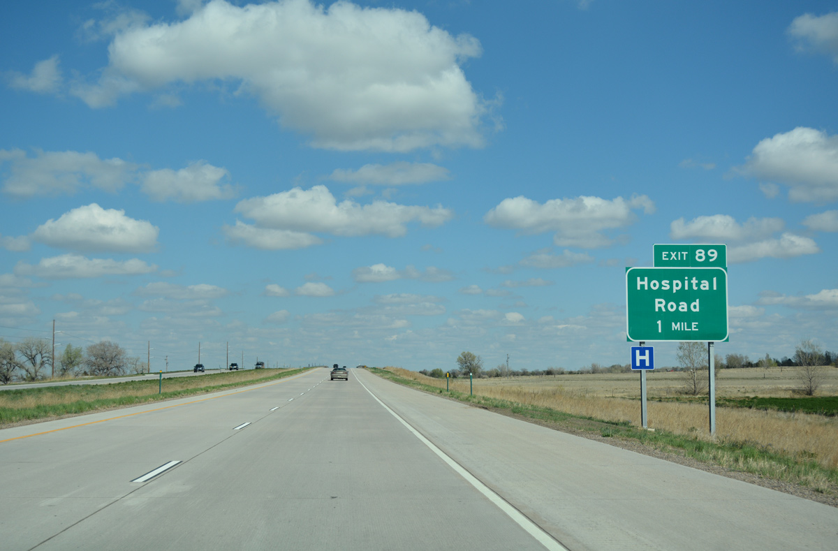
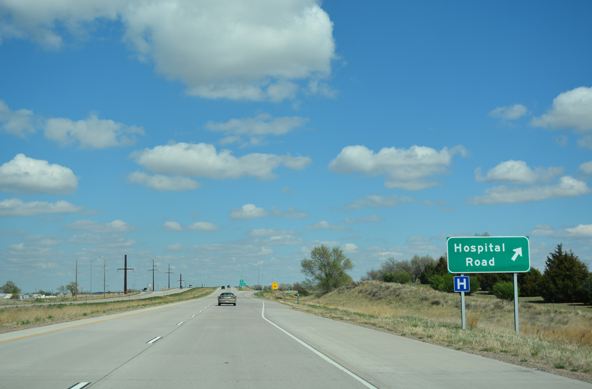
Hospital Road connects I-76/U.S. 6 with the west side of Brush via Exit 89. The road leads south to Business Loop I-76/U.S. 34 (Edison Street) within the vicinity of East Morgan County Hospital.
04/22/17
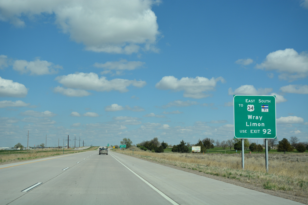
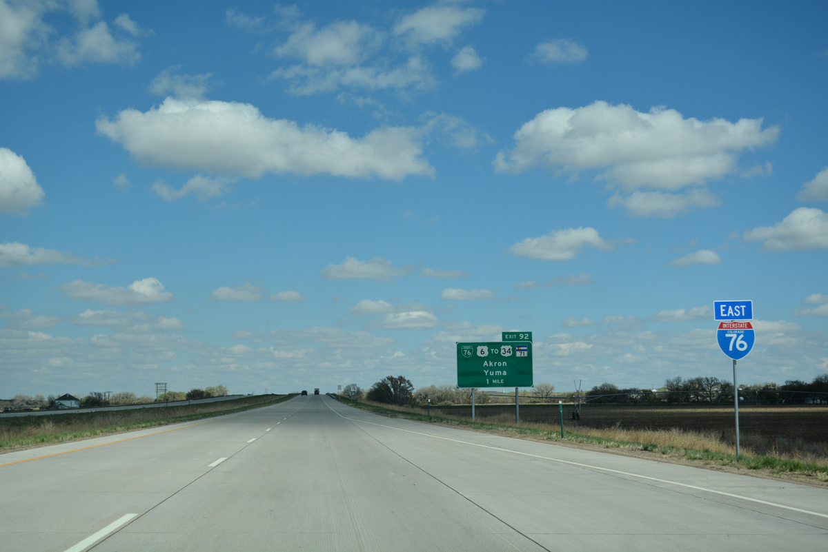
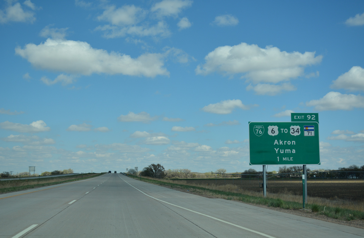
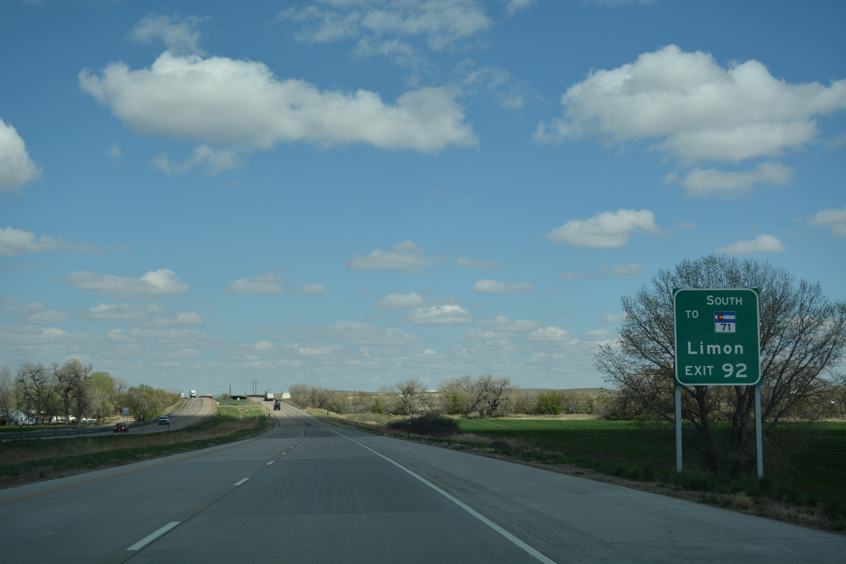
Through traffic bound for U.S. 34 east to the Yuma County seat of Wray or SH 71 south to Limon are advised to remain on Interstate 76 east to Exit 92. Business Loop I-76/U.S. 34 Spur connect with the freeway there, 0.93 miles north of U.S. 34 on the outskirts of Brush.
04/22/17
Entering the diamond interchange (Exit 89) with Hospital Road south to Brush and County Road 27 north. Founded in 1884, the city of Brush has an agricultural based economy.
04/22/17
I-76/U.S. 6 pass 0.9 miles north of Downtown Brush, meeting SH 71 (Colorado Avenue) next. A multi state route, SH 71 is a major corridor that follows the Heartland Expressway from Rocky Ford in Otero County north to South Dakota, passing through Limon, Brush, Kimball and Scottsbluff through eastern Colorado and western Nebraska.
04/22/17
The $37.6 million reconstruction of Interstate 76 through Morgan County included the building or replacement of 13 bridges along a six mile stretch. Included in the work was the resurfacing with concrete and the addition of auxiliary lanes between Exits 89 and 90.1
04/22/17
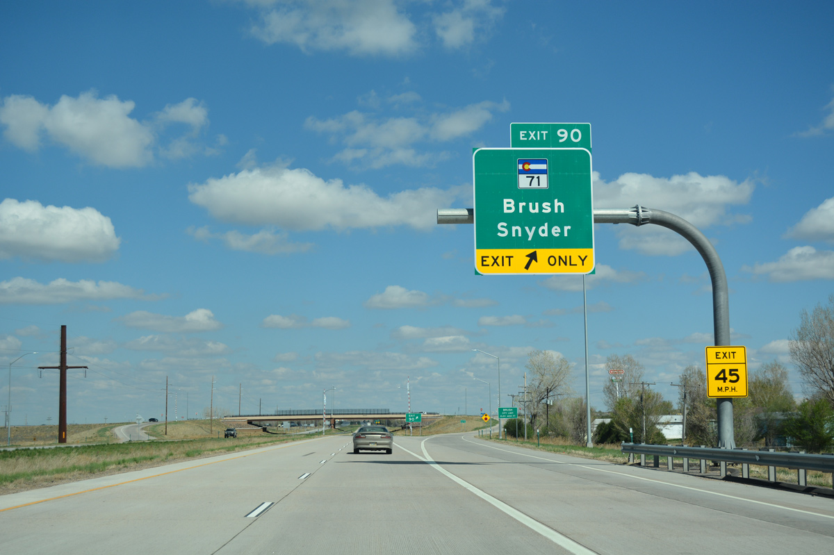
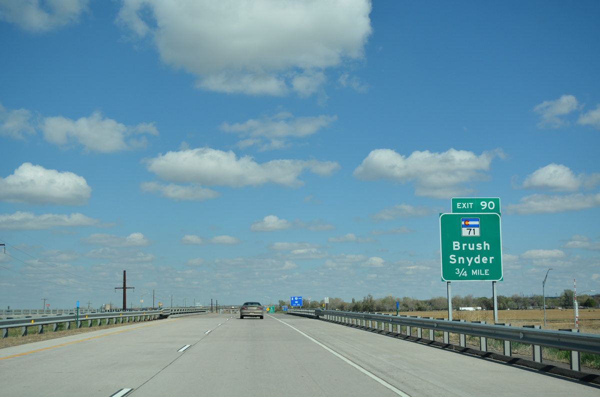
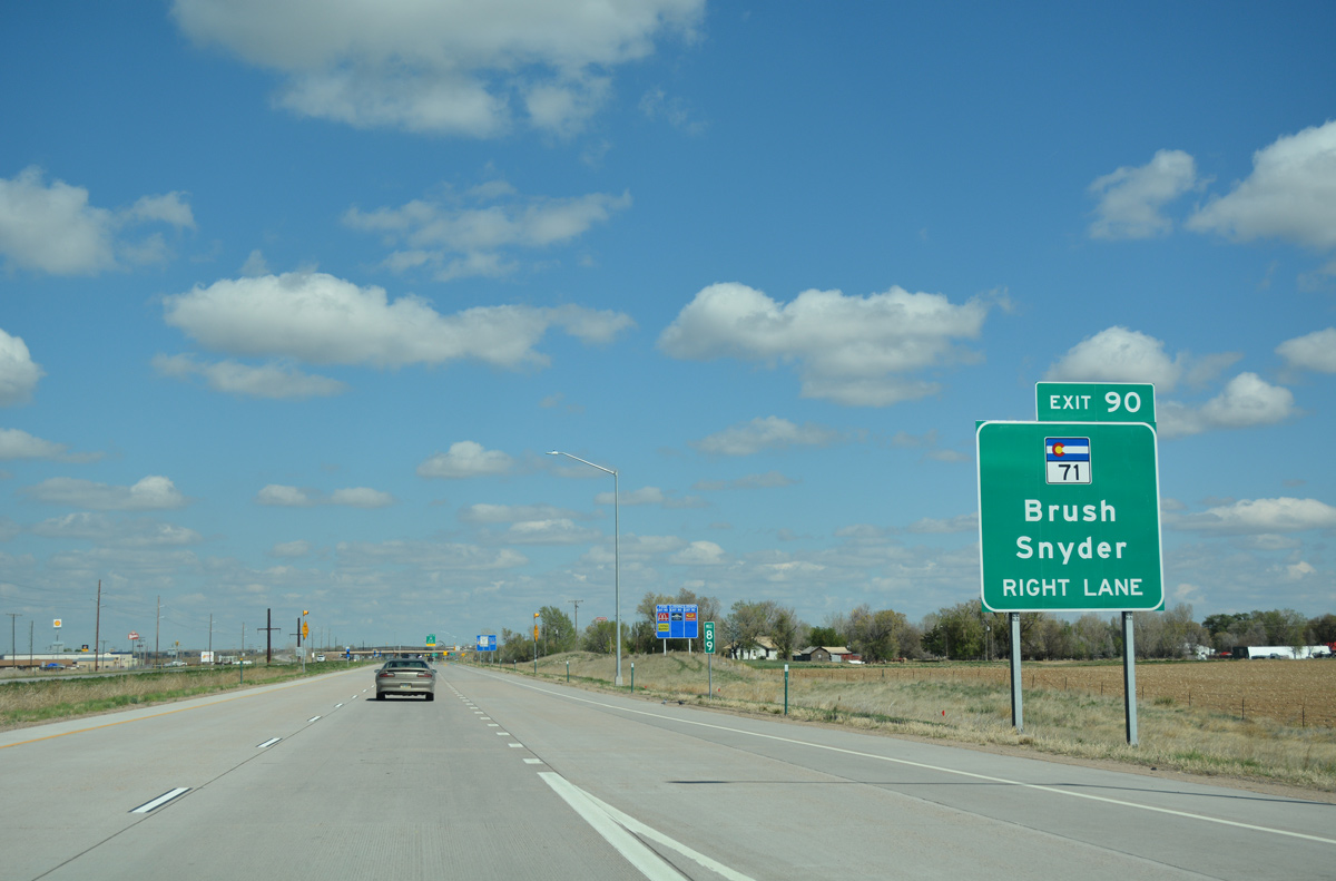
MSR 71 travels six miles north from Exit 90 to Snyder and 72 miles to Interstate 80 at Kimball, Nebraska. SH 71 south combines with Business Loop I-76/U.S. 34 (Edison Street) for 1.2 miles east from the Brush city center.
04/22/17
Exit 90 was converted from a cloverleaf into a standard diamond interchange during 2013-14 construction.
04/22/17
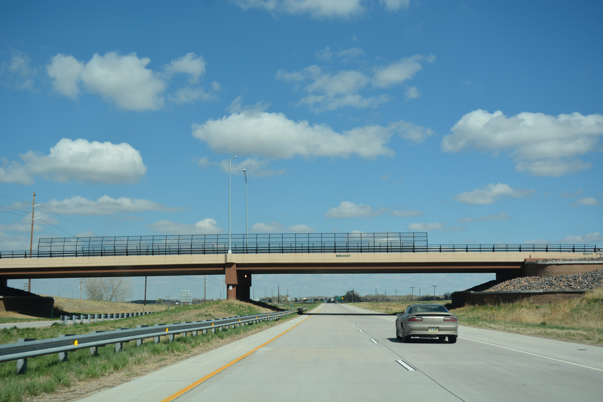
Interstate 76 traverses open farm land to the northeast of Brush.
04/22/17
Continuing east, U.S. 6 separates from Interstate 76 to combine with Business Loop I-76 northeast to Hillrose, Merino and Atwood. U.S. 34 Spur ties in from U.S. 34 near Brush Municipal Airport (7V5) to the south.
04/22/17
Leading south from Business Loop I-76/U.S. 34, SH 71 ventures 20 miles to Woodrow and 73 miles to Limon. The multi state route ends in 174.36 miles at U.S. 350 near Timpas.
04/22/17
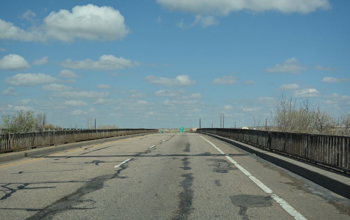
A 1966-built bridge carries Interstate 76 across both Beaver Creek and the BNSF Railroad just prior to Exit 92. Originally a cloverleaf interchange joined I-76 with U.S. 6 at Exit 92. Loop ramps from the freeway to the surface route were eventually removed.
04/22/17
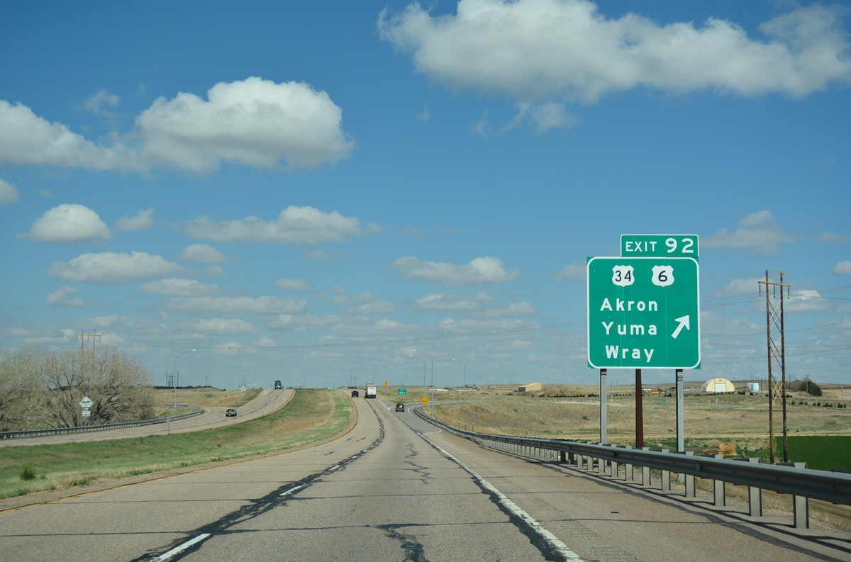
Travelers headed to U.S. 34 east to Akron, Wray and McCook, Nebraska part ways with Interstate 76 east at Exit 92. U.S. 34 Spur overlaps with Business Loop I-76 west back toward Brush while U.S. 6 overlays the remainder of the route north to Sterling.
04/22/17
East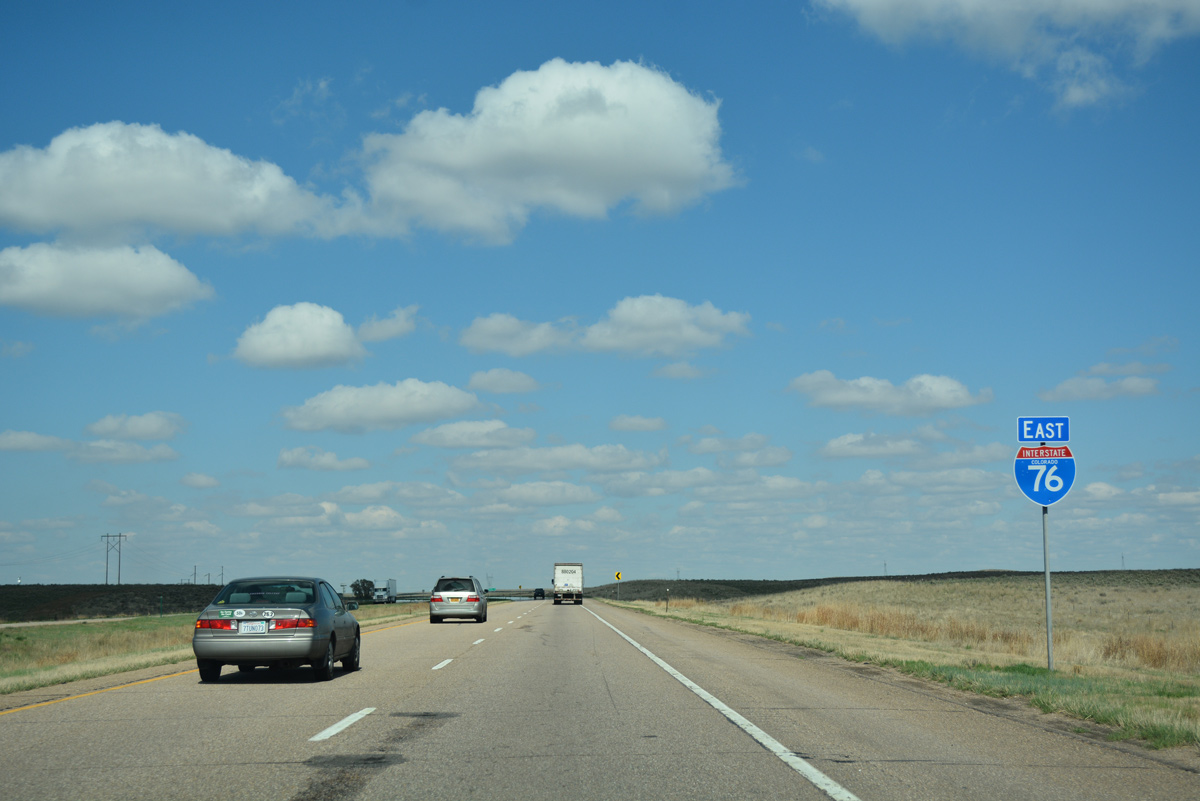
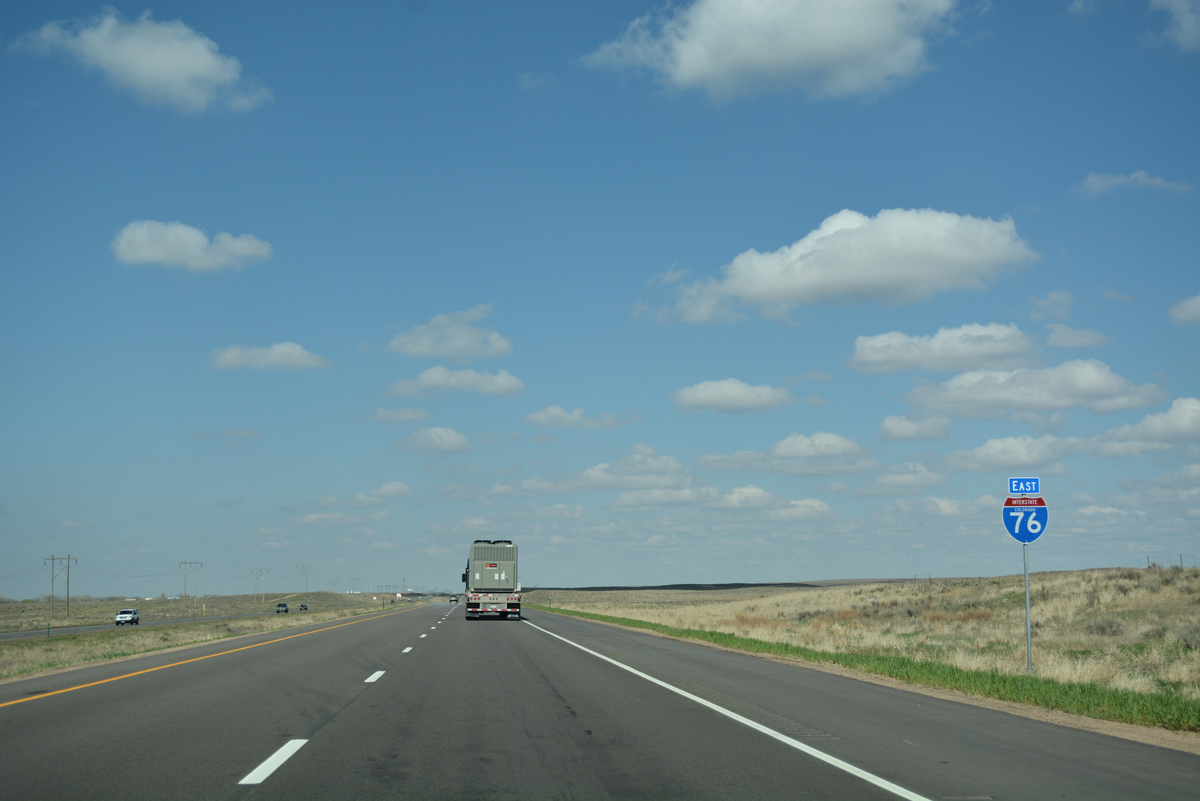
Interstate 76 travels solo for the rest of its route northeast to Nebraska.
04/22/17
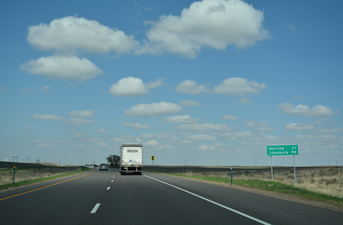
North 31 miles to Sterling and 90 miles to Julesburg, I-76 runs along the bluff line south of the South Platte River.
04/22/17
Interstate 76 advances east one mile to a diamond interchange (Exit 95) with Morgan County Road 33.
04/22/17
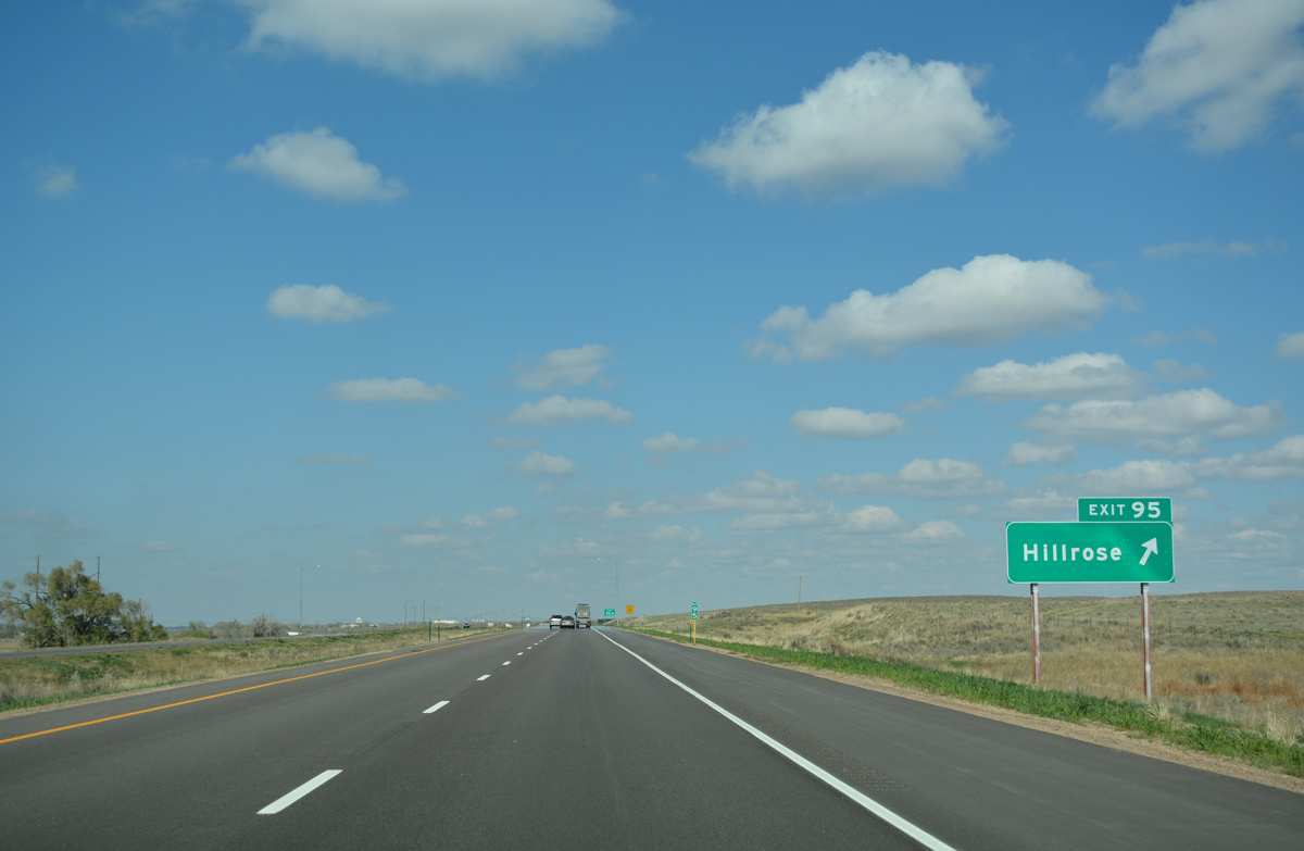
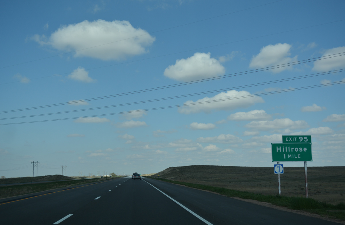
County Road 33 links Interstate 76 with Business Loop I-76/U.S. 6, 1.4 miles to the north at the small town of Hillrose.
04/22/17
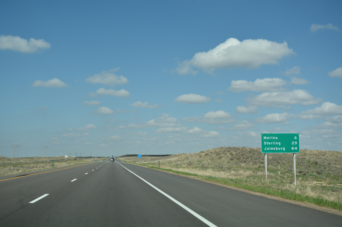
Interstate 76 bee lines six miles northeast to the Merino exit. Julesburg is 84 miles away.
04/22/17
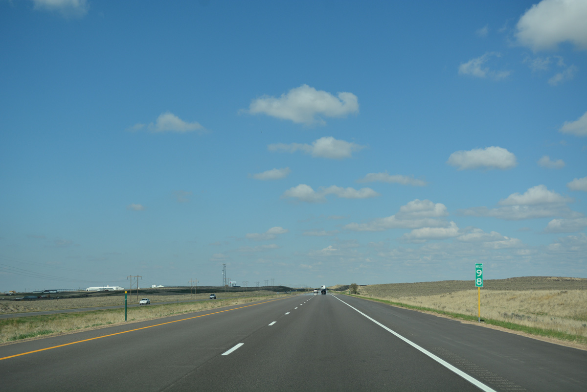
A dairy farm operation lines the north side of the freeway at the County Road X underpass by forthcoming milepost 99.
04/22/17
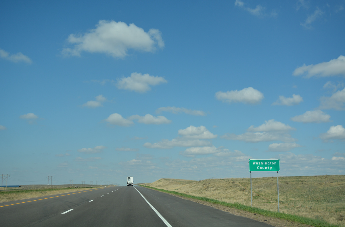
Eastbound Interstate 76 crosses into the northwest corner of Washington County just beyond County Road X.
04/22/17

References:
- "Construction starts on I-76, interchanges." Journal-Advocate (Sterling, CO), March 15, 2013.
Photo Credits:
- ABRoads: 04/22/17
Connect with:
Page Updated Thursday May 11, 2017.