
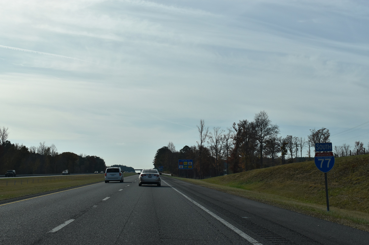
Interstate 77 South - Chester to Winnsboro
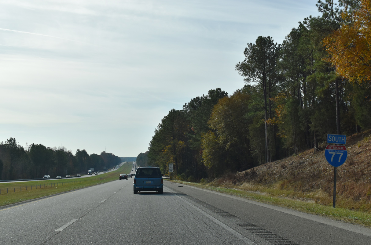
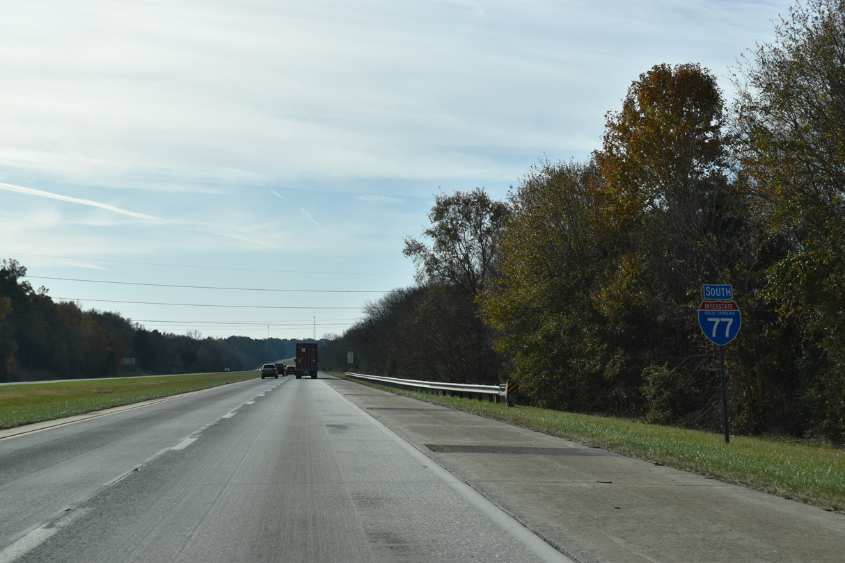
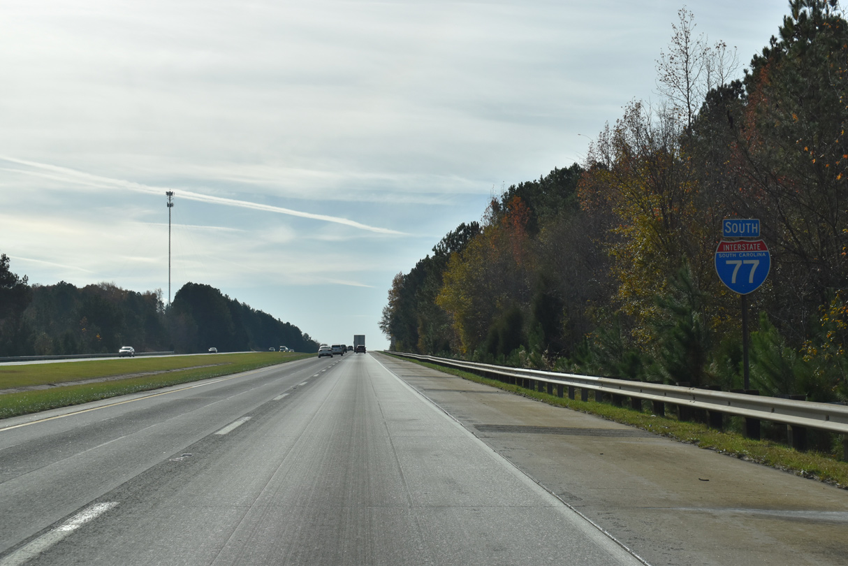
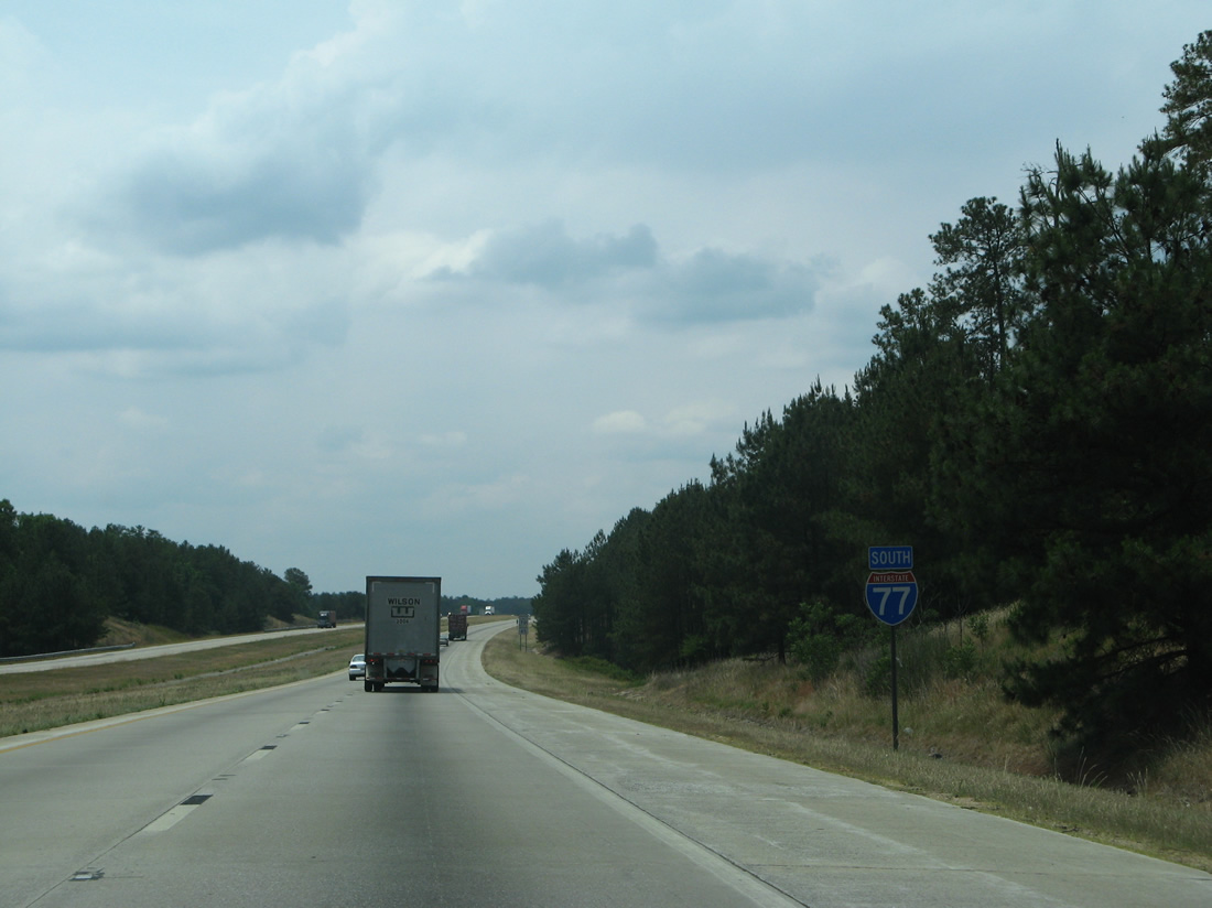
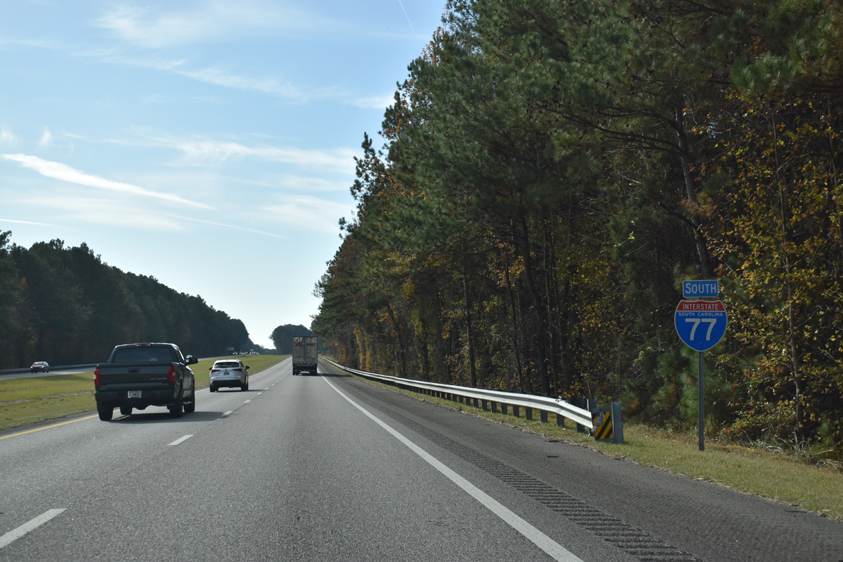
 South
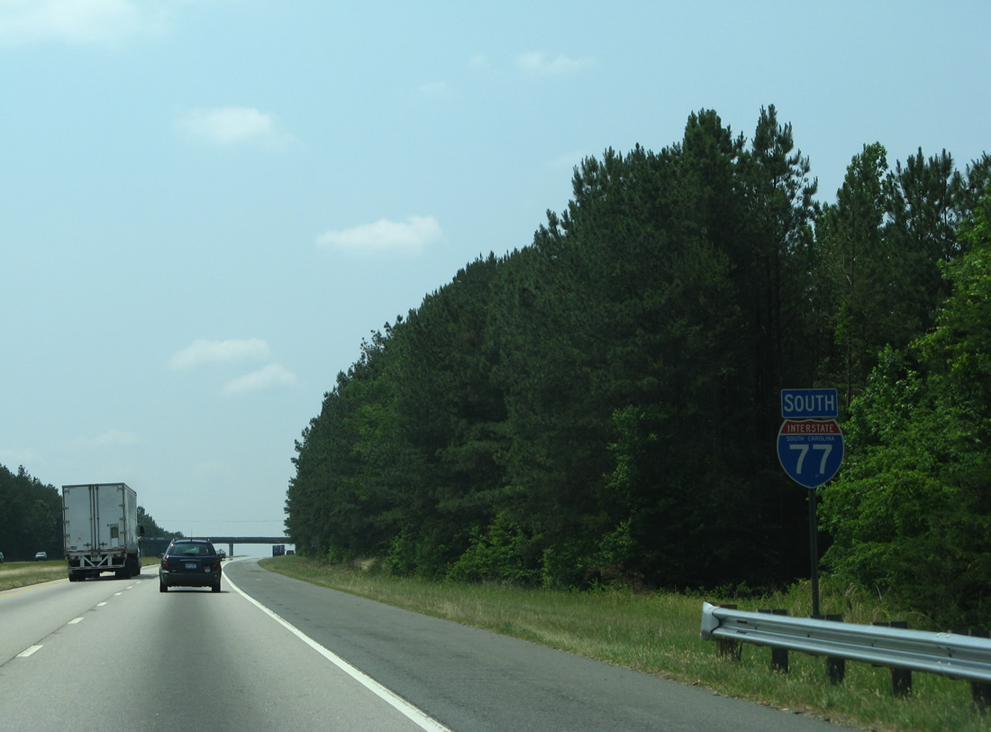
South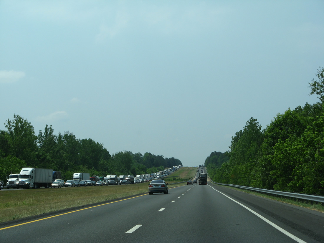
An incident blocked the northbound roadway for Interstate 77, resulting in heavy traffic along this scene near Fishing Creek.
06/01/07
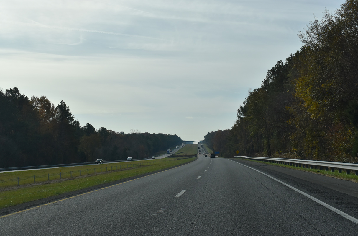
The South Fork of Fishing Creek flows under Interstate 77 to the west of Lando and north of the Gaston Farm Road (Road 46) overpass.
11/21/21
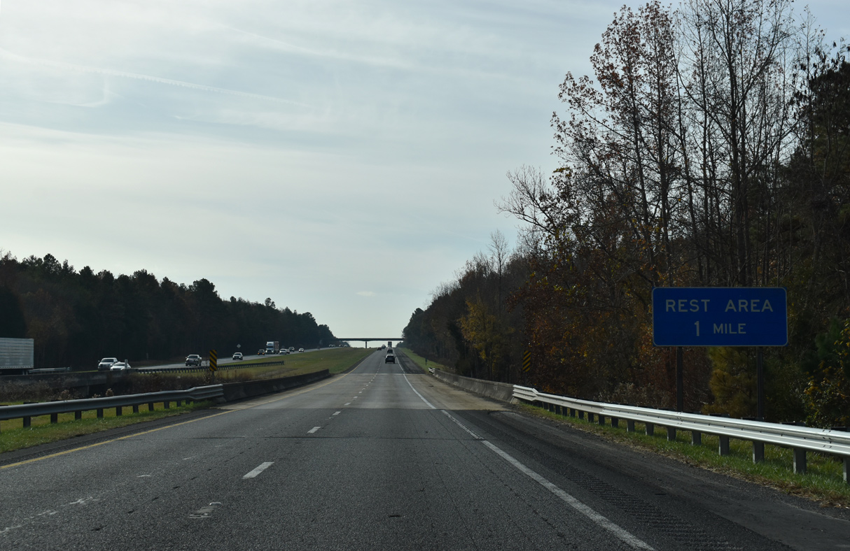
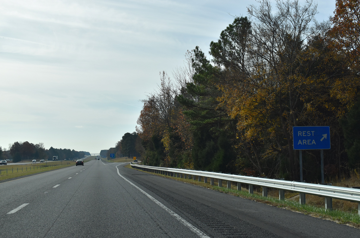
The last southbound rest area for Interstate 77 is located in northern Chester County.
11/21/21
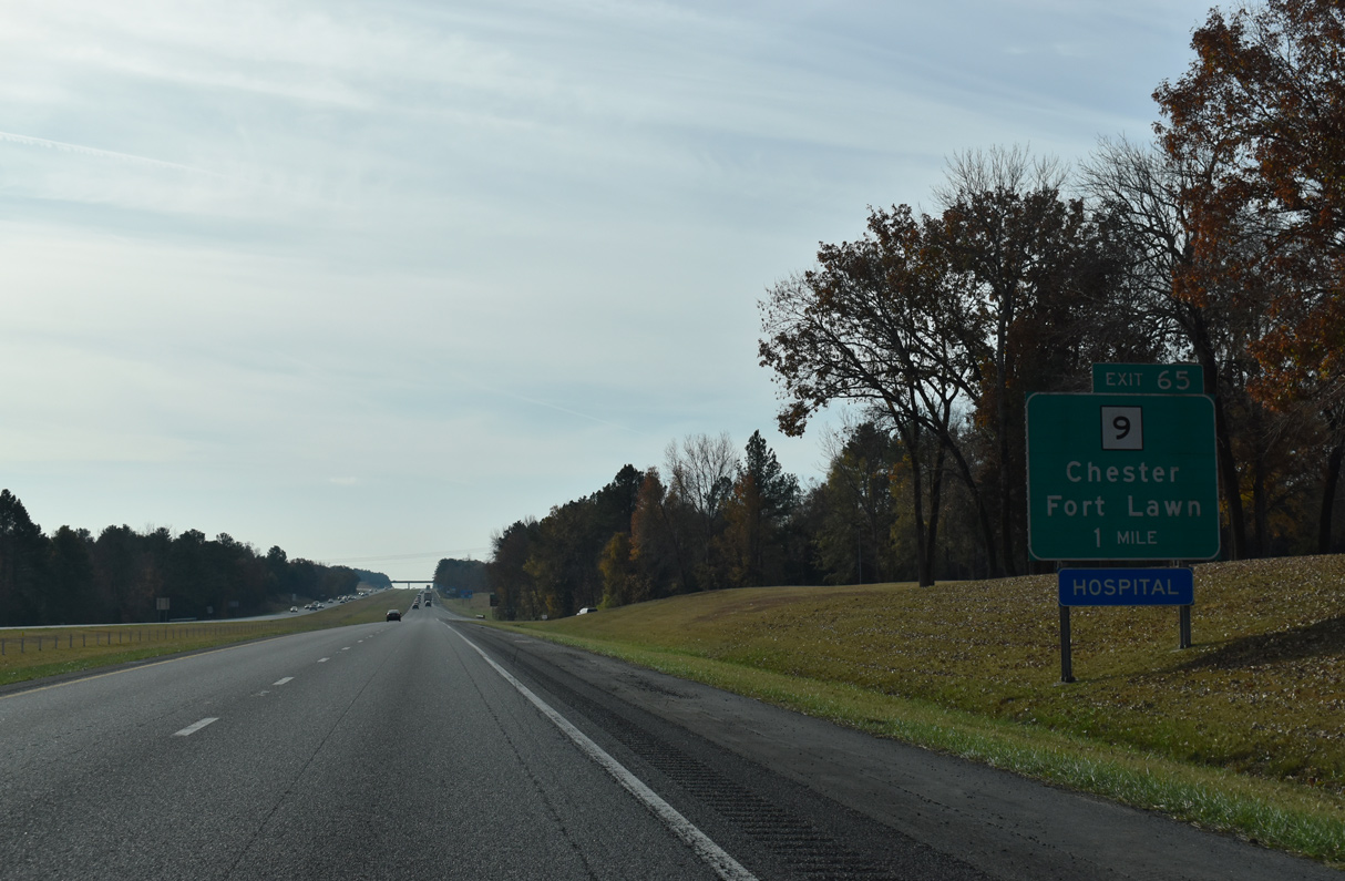
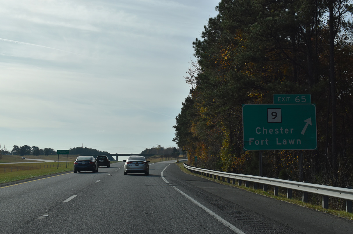
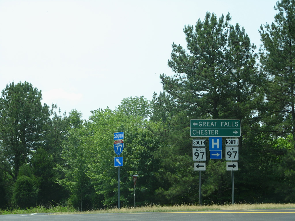
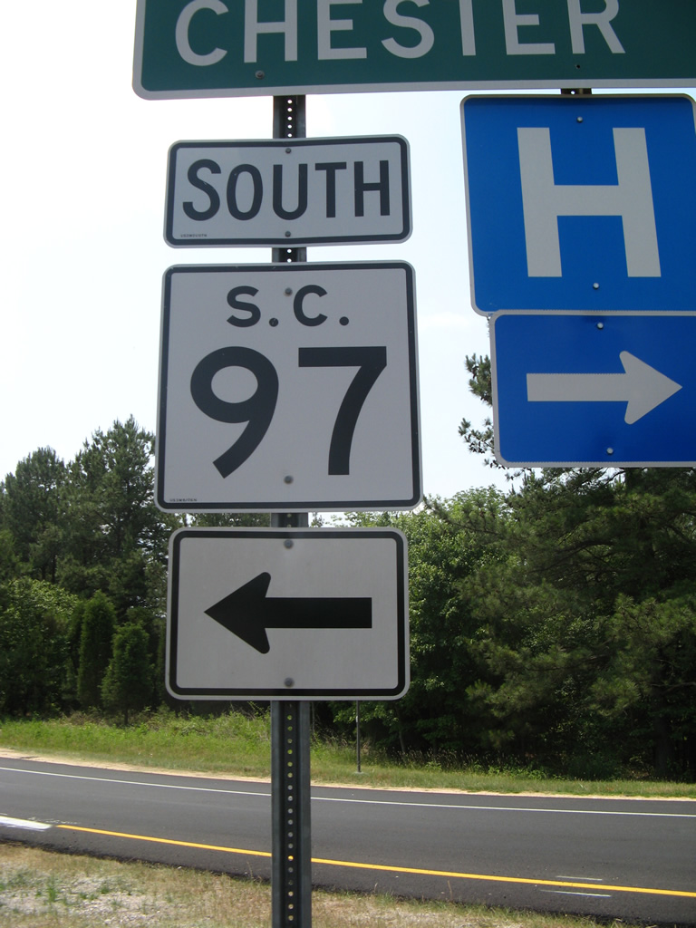
S.C. 9 (Lancaster Highway) meets Interstate 77, 9.7 miles east of Chester and 15.4 miles west of Lancaster.
11/21/21
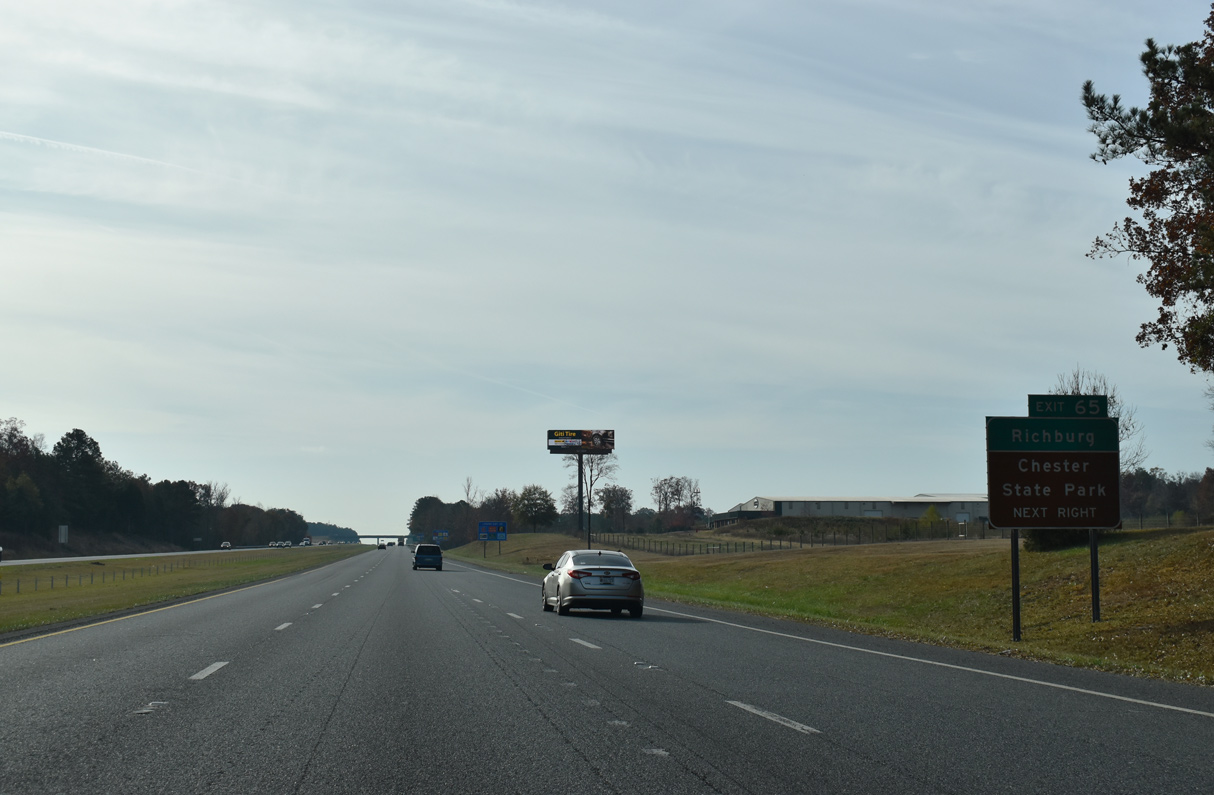
S.C. 9 (Lancaster Highway) combines with S.C. 901 for 1.56 miles from nearby south to the town of Richburg.
11/21/21
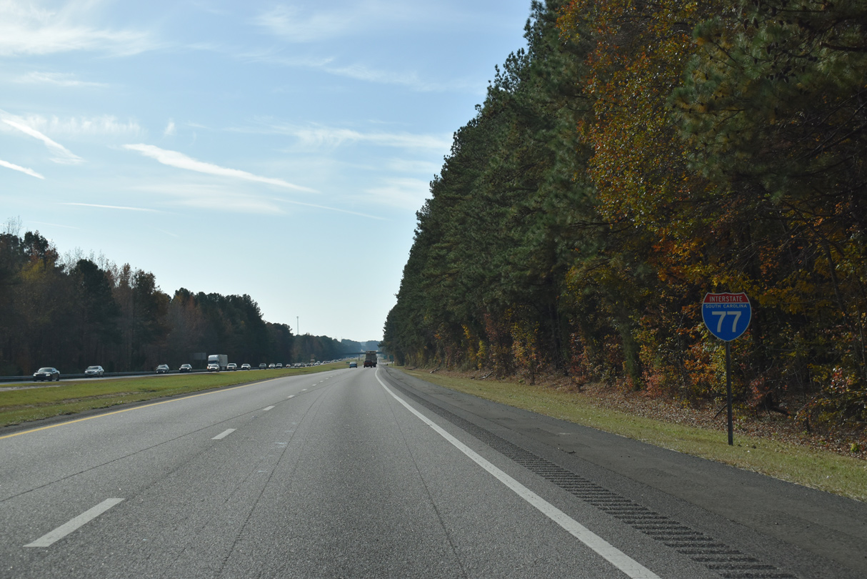
This reassurance marker precedes the diamond interchange at Exit 65.
11/21/21
S.C. 9 travels across nearly the width of the state 260 miles from Spartanburg to North Myrtle Beach. A bypass carries the route around Chester alongside portions of S.C. 72 and S.C. 121. S.C. 72/121 south link the county seat with Chester State Park and Sumter National Forest.
11/21/21
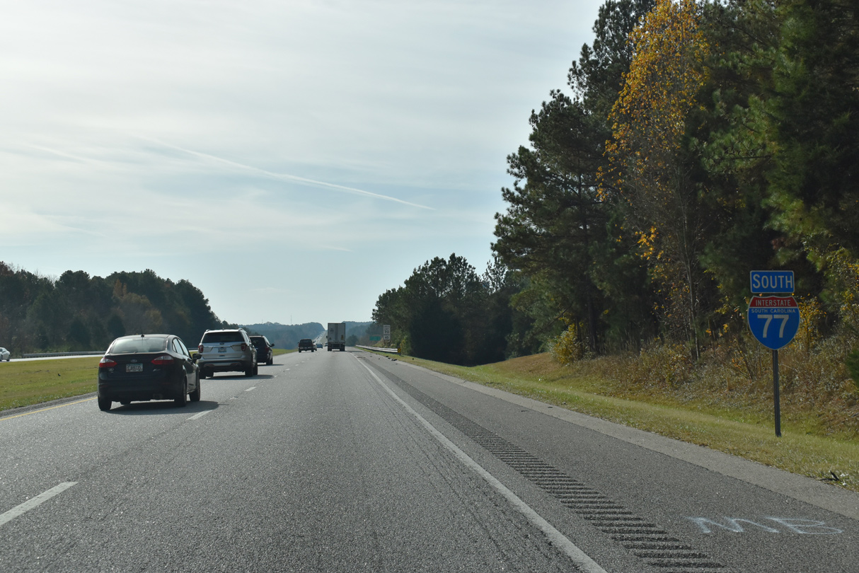
Interstate 77 passes west of the town of Richburg on the succeeding stretch southbound.
11/21/21
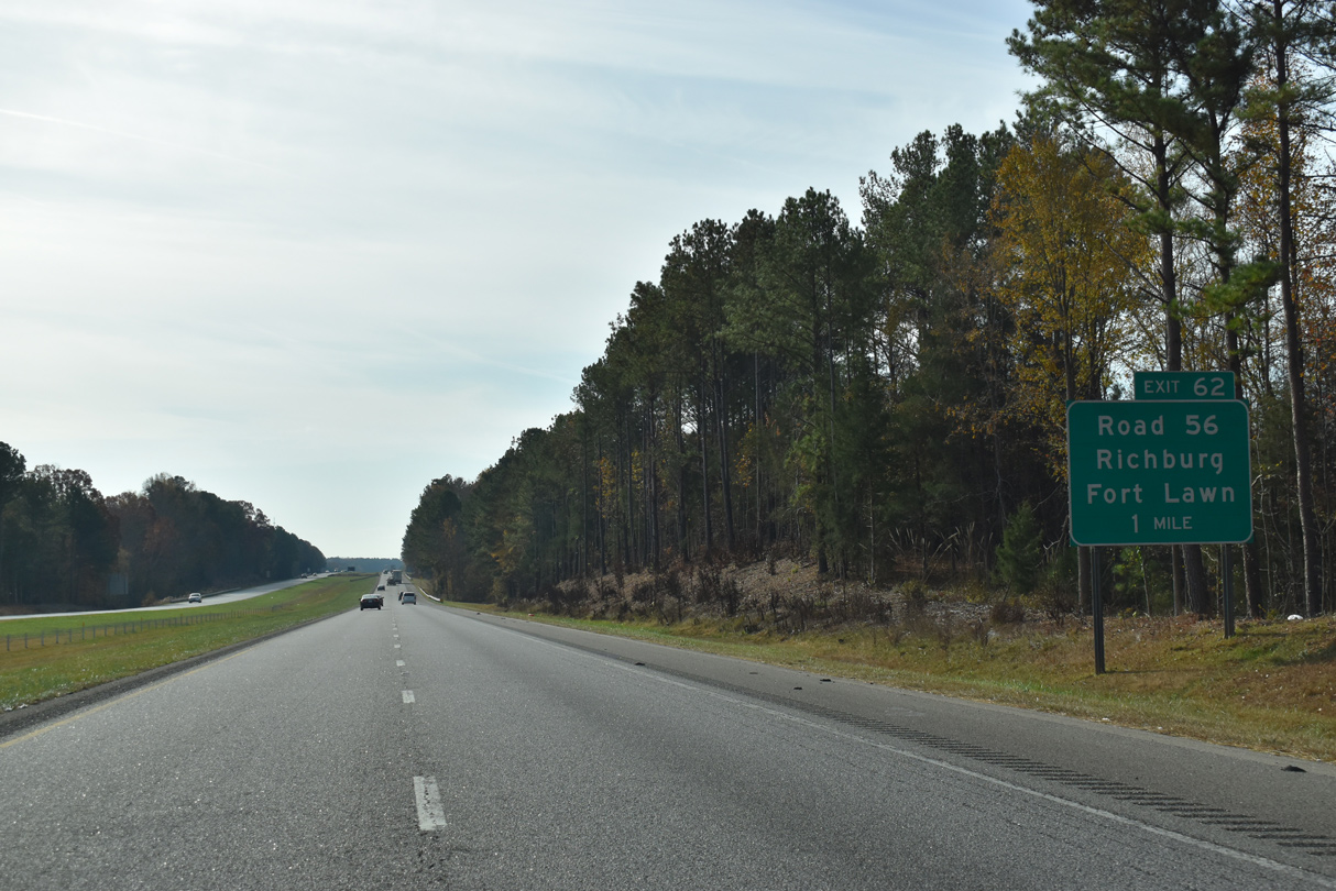
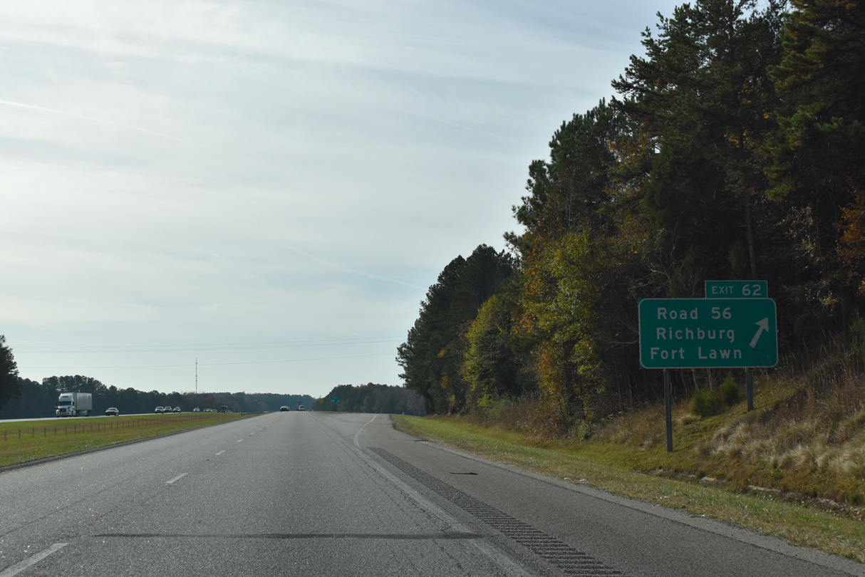
Old Richburg Road (Road 56) ties into a diamond interchange (Exit 62) with Interstate 77, 1.34 miles west from S.C. 9 (Lancaster Highway) at Richburg.
11/21/21
Old Richburg Road (Road 56) continues 6.77 miles west from Exit 62 to Knox, Orrs, and S.C. 9 (Lancaster Highway) 2.8 miles from the Chester bypass.
11/21/21
Removed after 2008, this confirming marker was posted southbound ahead of the Murdock Road (Road 497) over crossing.
06/01/07
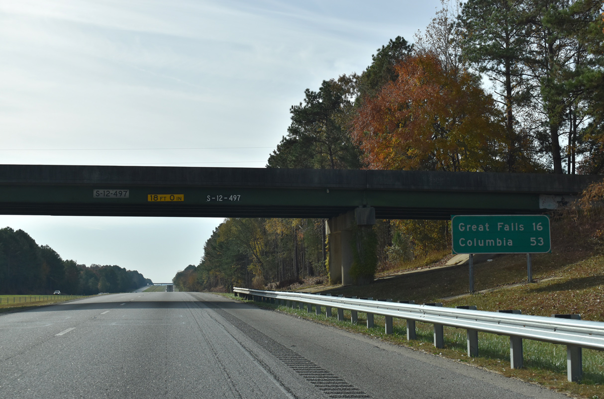
16 miles away, Great Falls, a town of nearly 2,000, lies east of the ensuing exit along U.S. 21/S.C. 200.
11/21/21
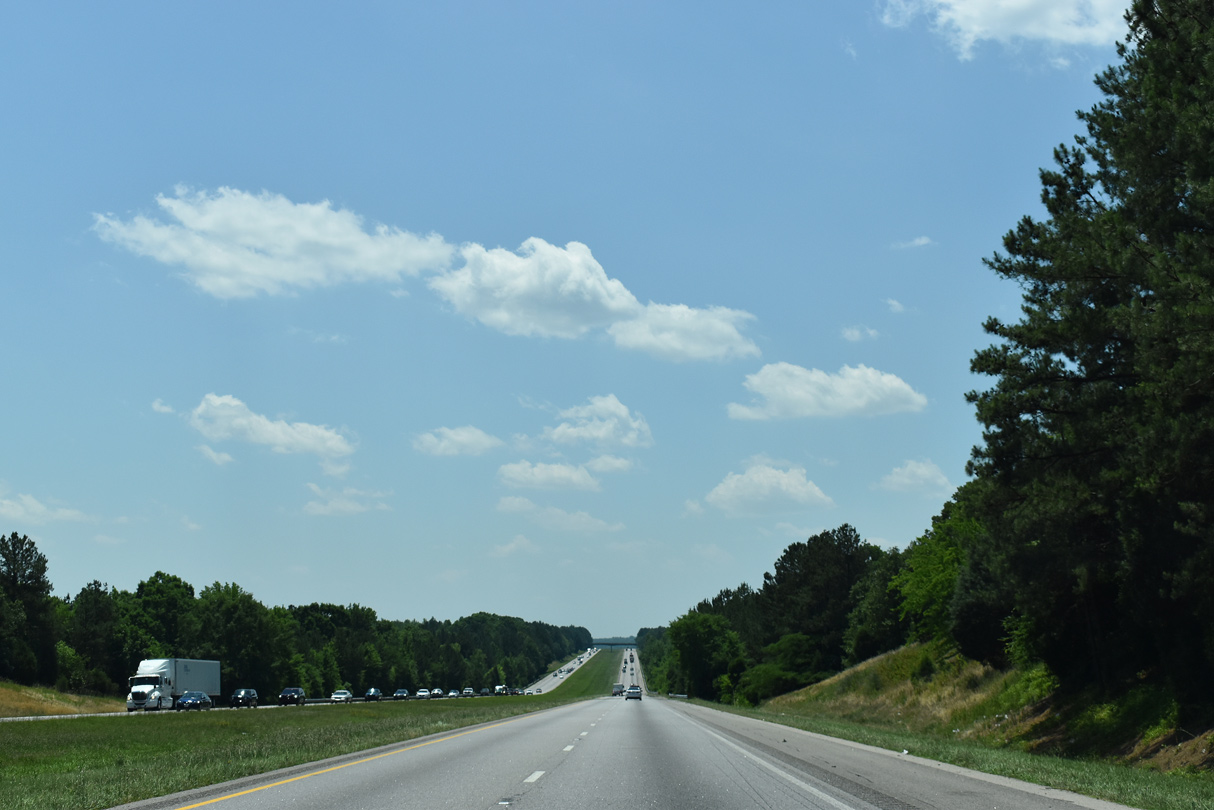
A long straight away along Interstate 77 south beyond the Old Mill Road (Road 52) overpass.
05/26/19
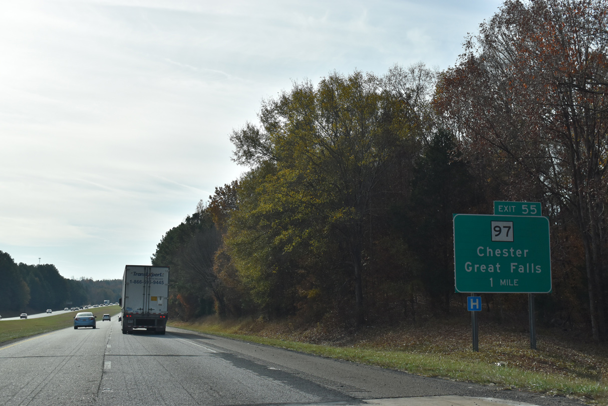
S.C. 97 (Great Falls Road) heads 6.00 miles east from forthcoming Exit 55 to the Great Falls town line at S.C. 99 (Chester Avenue) and Beckhamville.
11/21/21
S.C. 97 measures 89 miles in length, northwest from Chester to S.C. 5 near Blacksburg and south from Great Falls to U.S. 521/601 in the city of Camden.
11/21/21
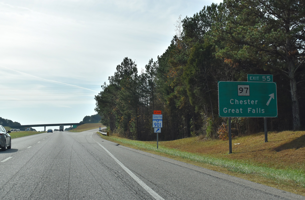
Chester lies 12.5 miles to the northwest from Exit 55. S.C. 97 (Great Falls Highway) intersects S.C. 901 (Mountain Gap Road), 1.71 miles east at Rossville.
06/01/07
A long straight away leads Interstate 77 southward across Little Rocky Creek.
11/21/21
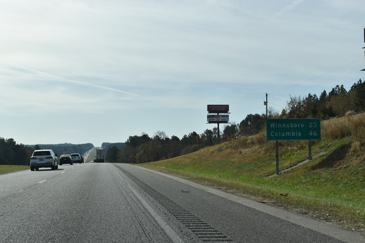
Winnsboro, the seat of Fairfield County, is 23 miles to the south via I-77 and S.C. 200. Columbia is 46 miles away.
11/21/21
S.C. 901 (Mountain Gap Road) shifts to the west of Interstate 77 ahead of Stover. The two parallel routes continue south into Fairfield County.
11/21/21
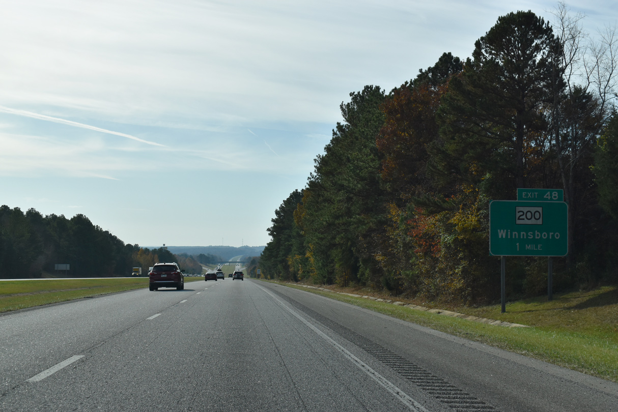
S.C. 200 is the first of five exits along Interstate 77 south in Fairfield County.
11/21/21
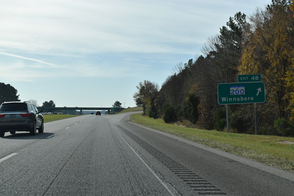
S.C. 200 travels 5.94 miles northeast from Exit 48 to Mitford and an overlap with U.S. 21 to Great Falls. Southwest from I-77, S.C. 200 heads 11.27 miles U.S. 321 and S.C. 34 outside Winnsboro.
11/21/21
Interstate 77 proceeds south from S.C. 200 across Big Wateree Creek.
11/21/21
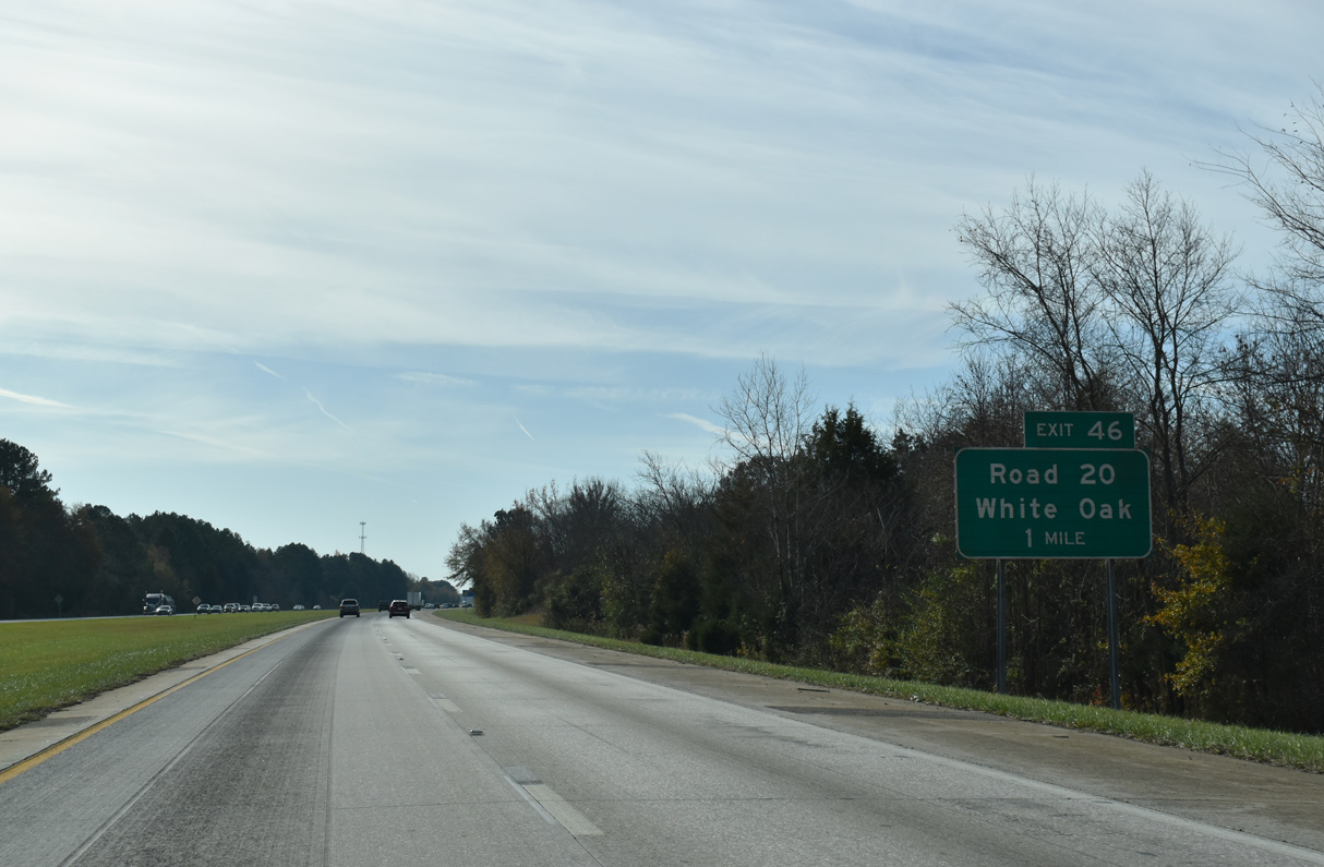
A rural diamond interchange (Exit 46) with Camp Welfare Road (Road 20) follows Little Wateree Creek.
11/21/21
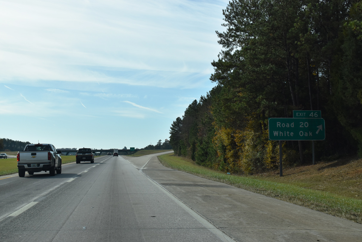
Camp Welfare Road (Road 20) meanders 8.53 miles northeast from S.C. 200 at Mobley Highway to U.S. 21. Mobley Road extends Road 20 west 5.44 miles to Patrick Road (Road 20) at White Oak.
11/21/21
South from Exit 46, Interstate 77 runs midway between parallel S.C. 200 and U.S. 21.
11/21/21
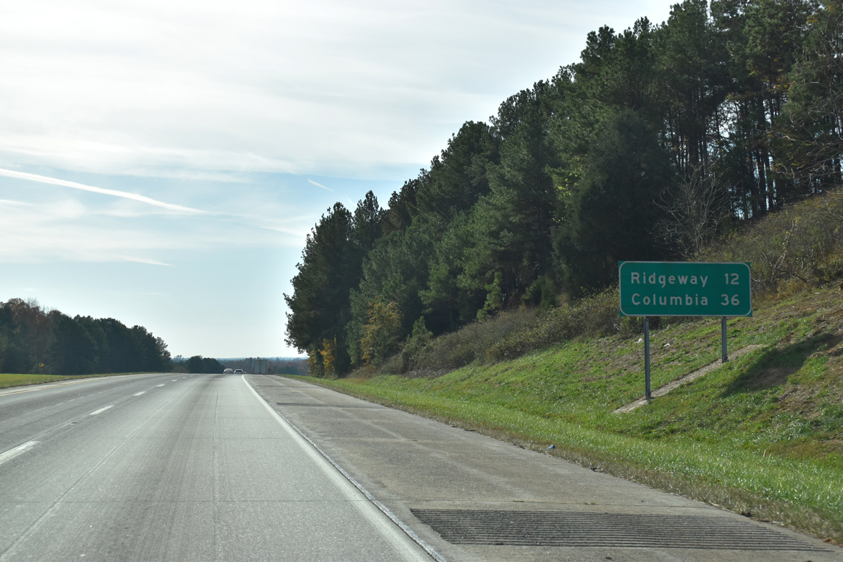
The rural town of Ridgeway lies 12 miles to the southeast. Columbia is a half hour away.
11/21/21
Interstate 77 lowers 240 feet in elevation leading to the bridge over Little Wateree Creek.
11/21/21
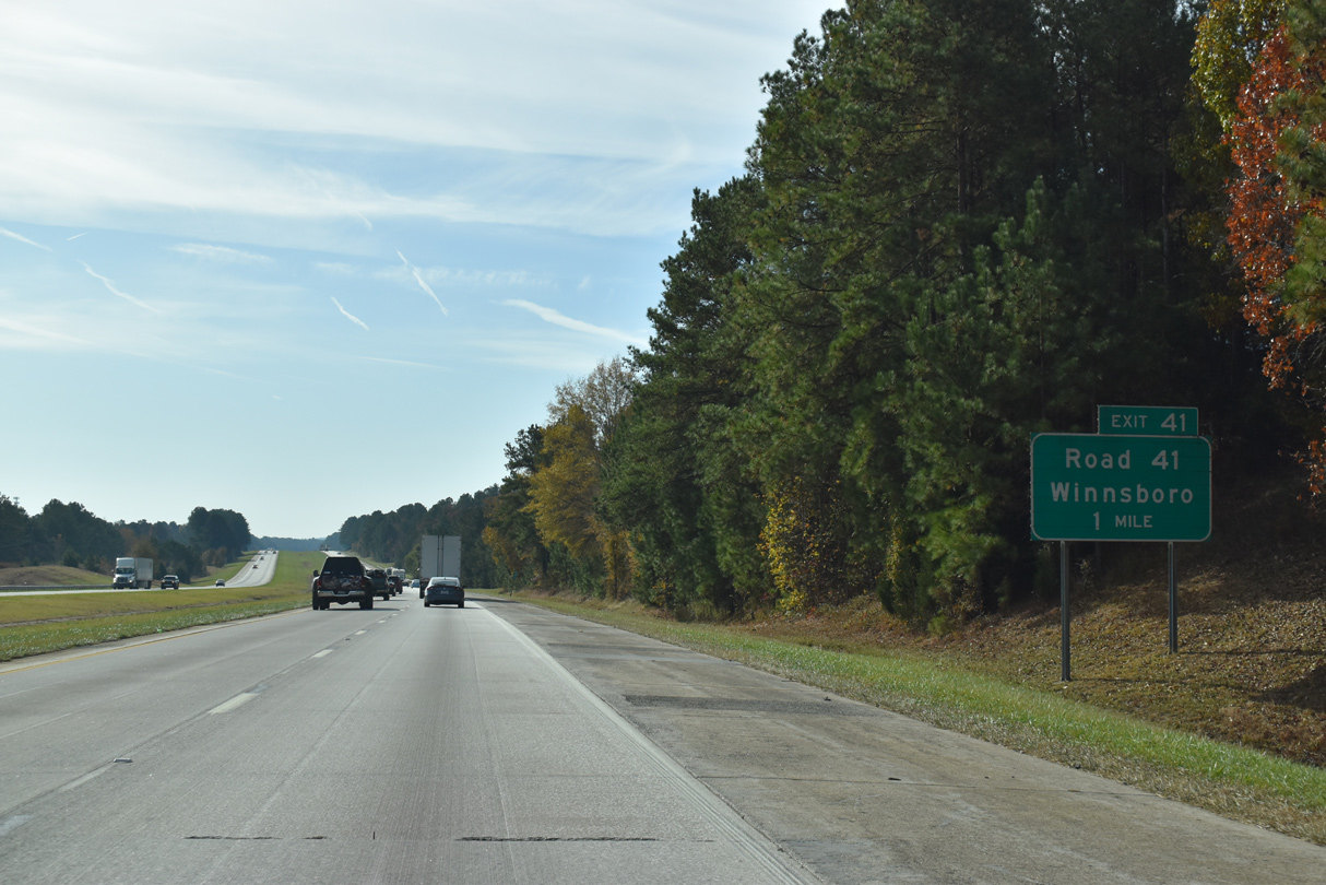
Old River Road (Road 41) crosses paths with Interstate 77 at a diamond interchange (Exit 41) in one mile.
11/21/21
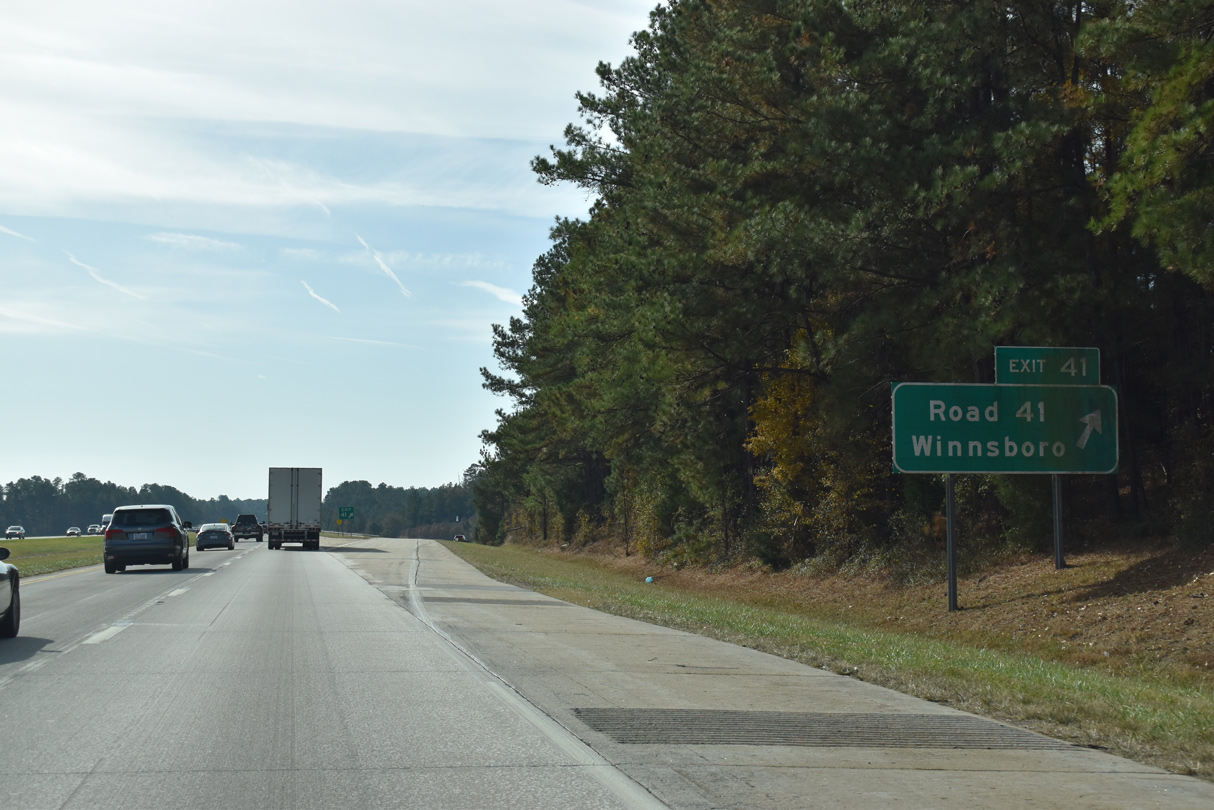
Old River Road (Road 41) meanders west from Exit 41, 3.70 miles to S.C. 200 near Winnsboro. East from I-77, Road 41 continues 2.87 miles to U.S. 21 at Flint Hill and 5.09 miles to River Road (Road 101) for Lake Wateree State Park.
11/21/21
37,600 vehicles per day (vpd) were measured along I-77 south from Road 41 to S.C. 34 by SCDOT in 2020.
06/01/07
Interstate 77 gains 260 feet in elevation from Dutchmans Creek south to 620 feet above sea level by the Norfolk Southern Railroad overpass adjacent to Exit 34.
11/21/21

S.C. 34 connects with Interstate 77 at a rural diamond interchange (Exit 34) 1.9 miles west of Ridgeway.
11/21/21
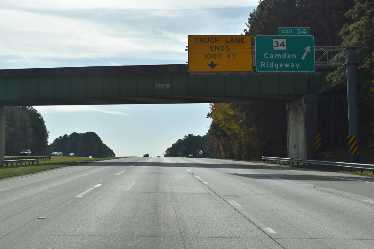
S.C. 34 travels 186 miles overall between Greenwood and Dillon. S.C. 34 combines with U.S. 1/601 in 20.2 miles at Lugoff. Camden lies east of the Wateree River.
11/21/21
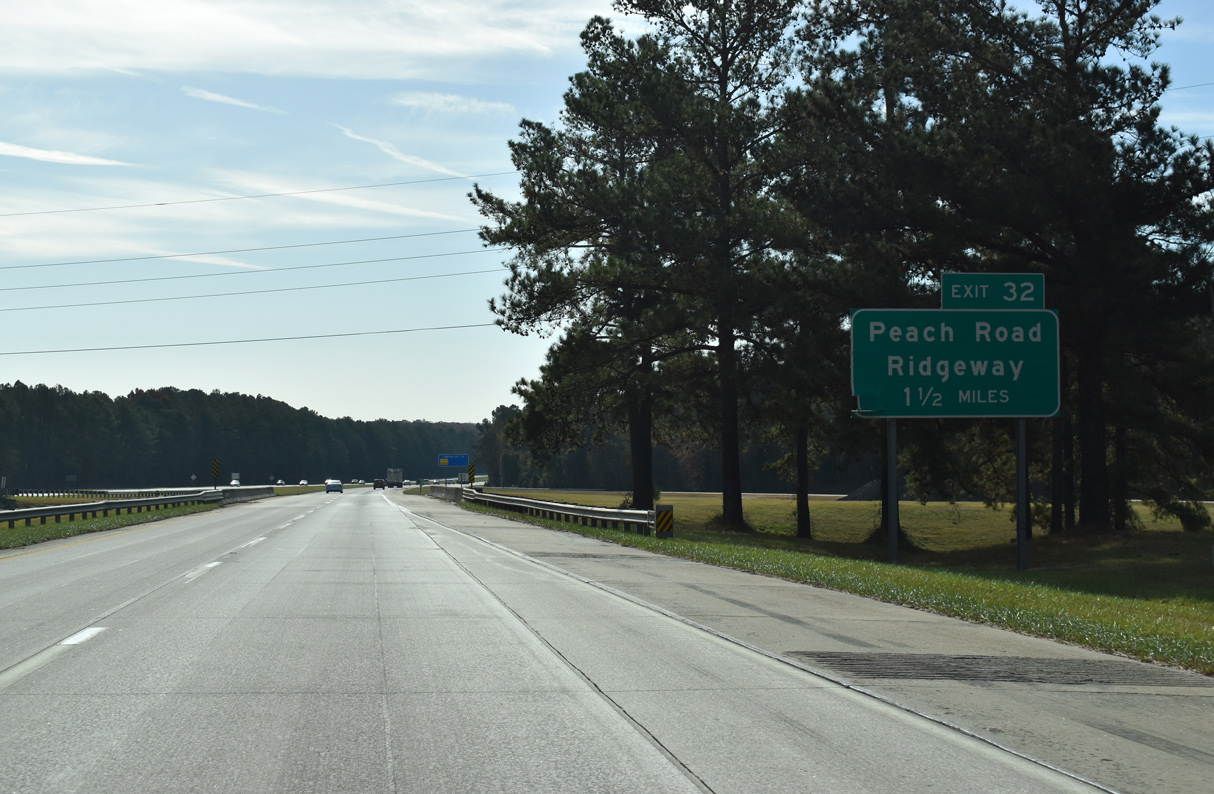
Peach Street in Ridgeway becomes Peach Road (Road 30) southwest 2.92 miles to the diamond interchange at Exit 32.
11/21/21
Cook Road (Road 233) parallels Interstate 77 to the west by a handful of industrial businesses.
11/21/21
Peach Road (Road 30) extends another 6.28 miles west from Exit 32 to Greenbrier Mossydale Road (Road 63) beyond U.S. 321.
11/21/21
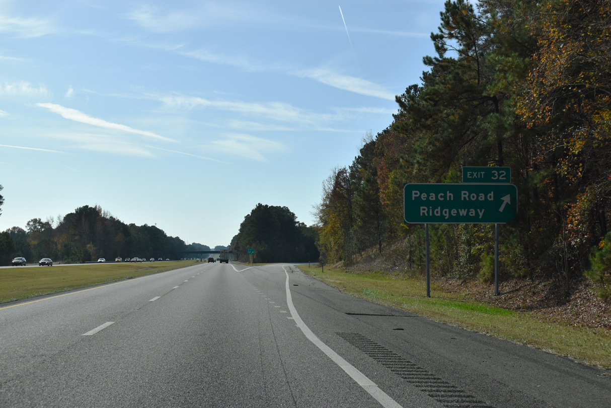
Confirming marker posted south of Exit 32.
11/21/21

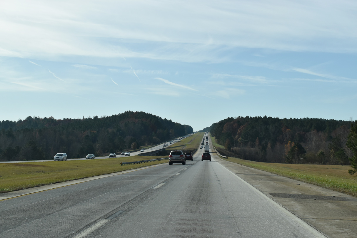
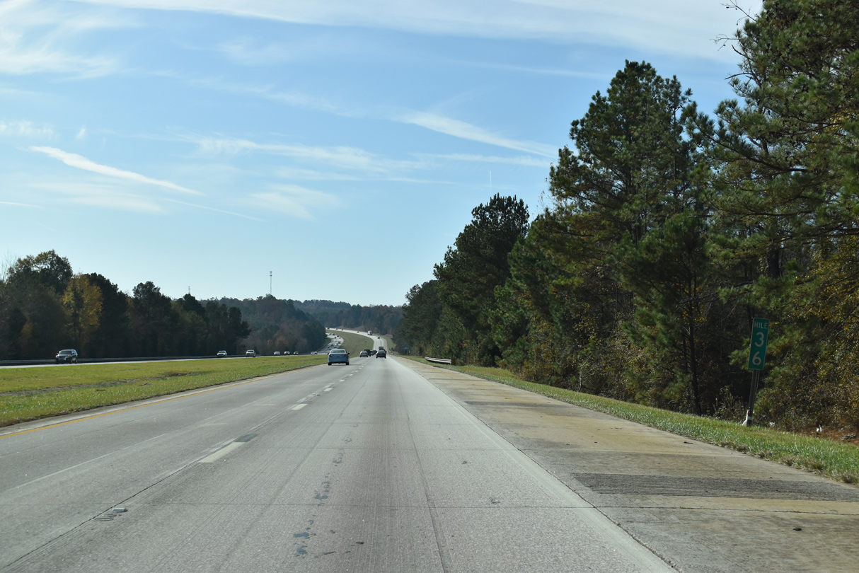
Interstate 77 progresses 23 miles south from Cedar Creek to Columbia.
11/21/21
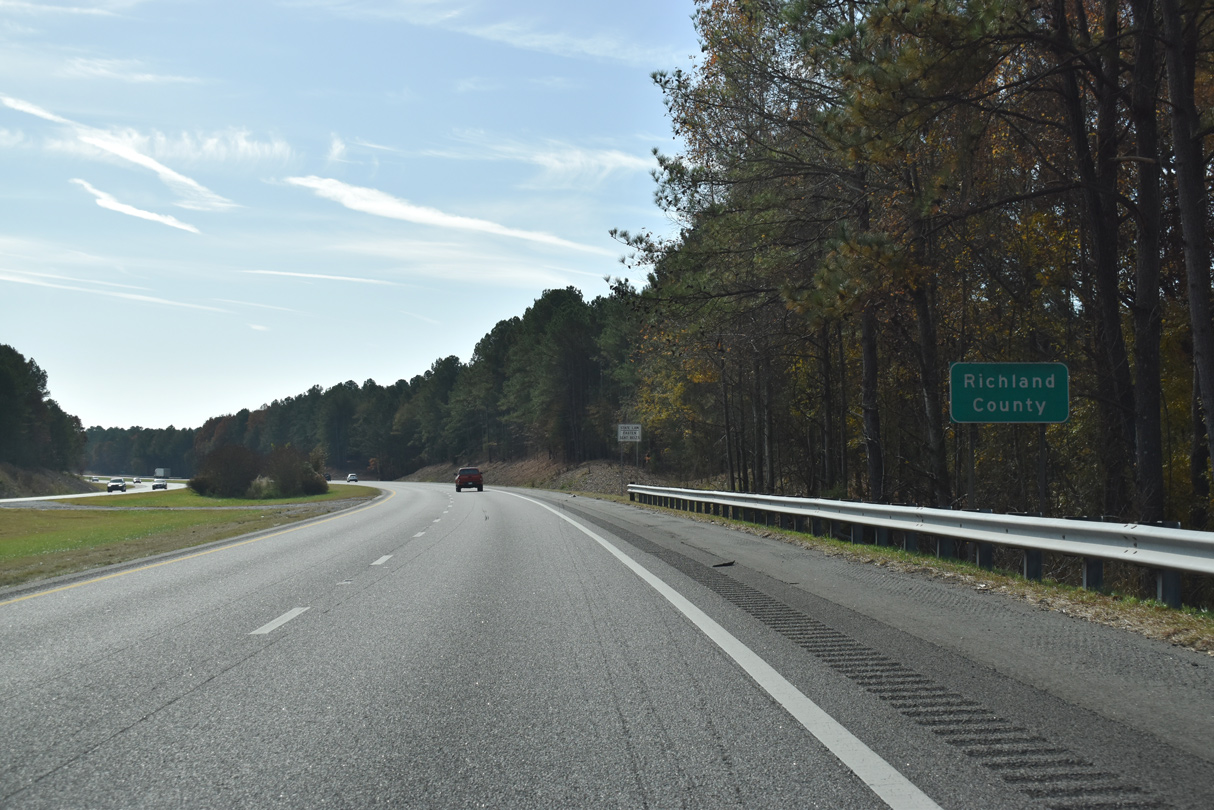
The final 29.43 miles of Interstate 77 south fall within Richland County.
11/21/21
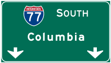

Photo Credits:
- Andy Field: 06/01/07
- ABRoads: 11/21/21
- Brent Ivy: 05/26/19
Connect with:
Page Updated Thursday December 30, 2021.