
Interstate 90 East - Billings to Hardin

 East
East  South
South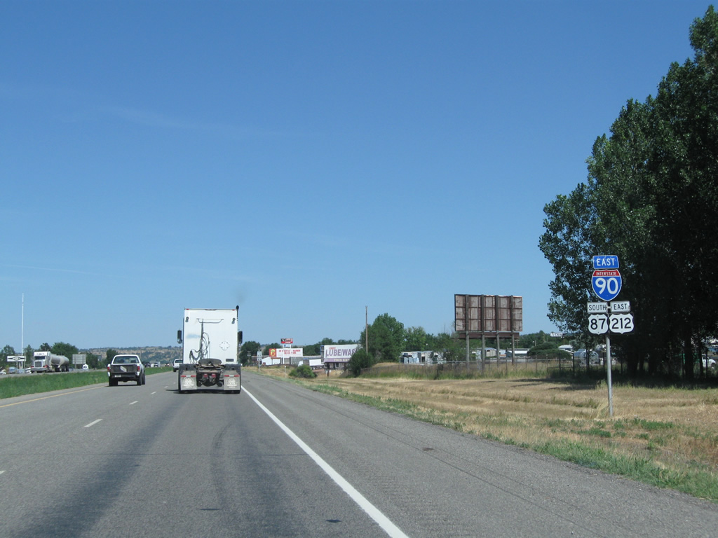
U.S. 87 joins Interstate 90 for the remainder of their journey through Montana to Buffalo, Wyoming, where the US route combines with Interstate 25 south.
08/08/11
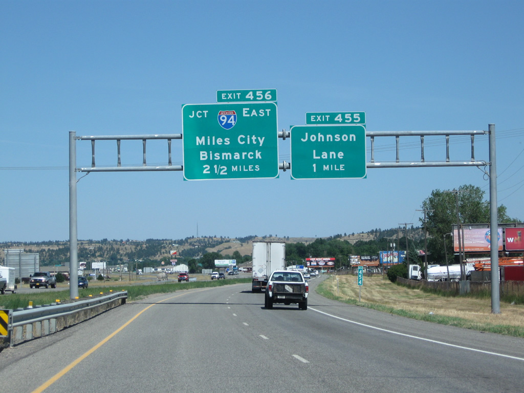
Interstate 94 splits and begins from Interstate 90 east in 2.5 miles at a trumpet interchange (Exit 456). Departing Interstate 90 next however is Exit 455 with Johnson Lane. The diamond interchange serves a number of truck stops, parallel Old Hardin Road and industrial areas and oil refineries off the North Frontage Road.
08/08/11
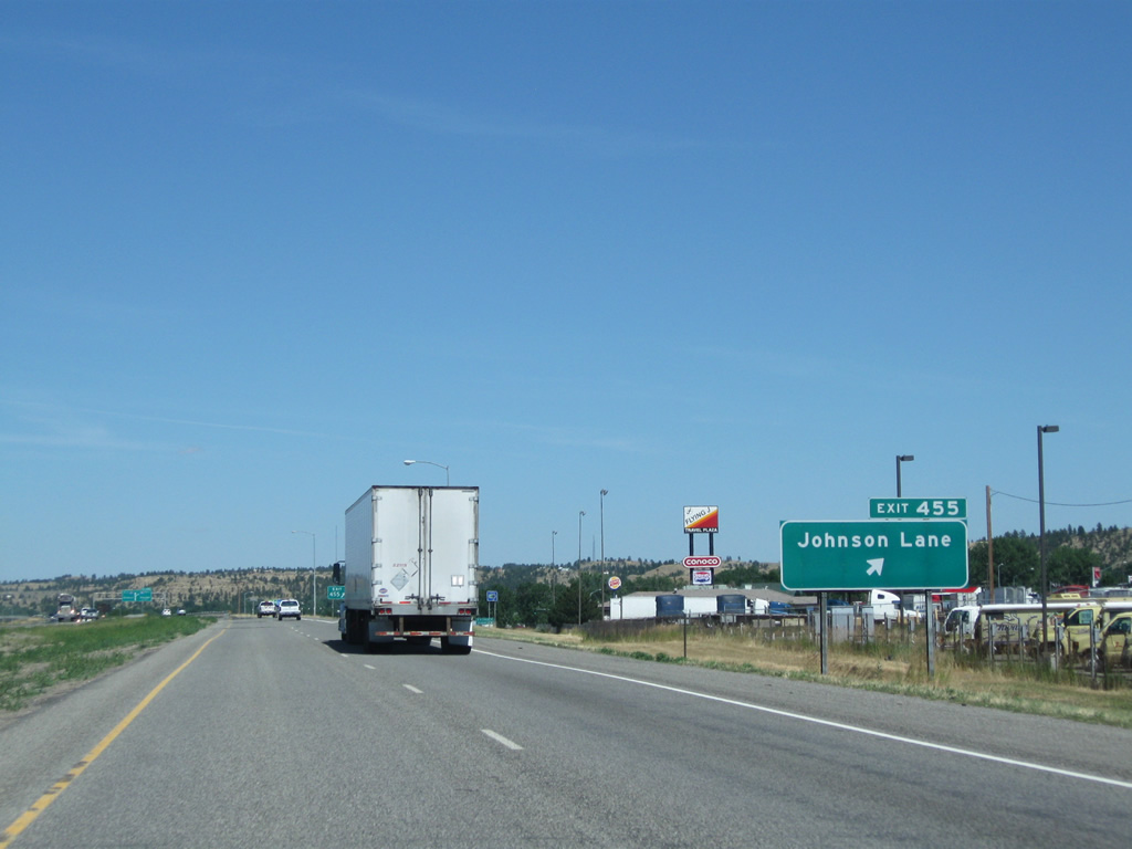
Johnson Lane leads south from Exit 455 to Hardin Road (Old U.S. 87) and north to the railroad siding of Hirsh. A Draft Environmental Impact Statement (DEIS) was conducted for an eastern bypass connecting I-90 at Johnson Lane with Old Highway 312 (former U.S. 312) northeast of Billings. The project was spearheaded by the Montana Department of Transportation (MDT) and the Federal Highway Administration (FHWA) with three alternatives considered.
08/08/11
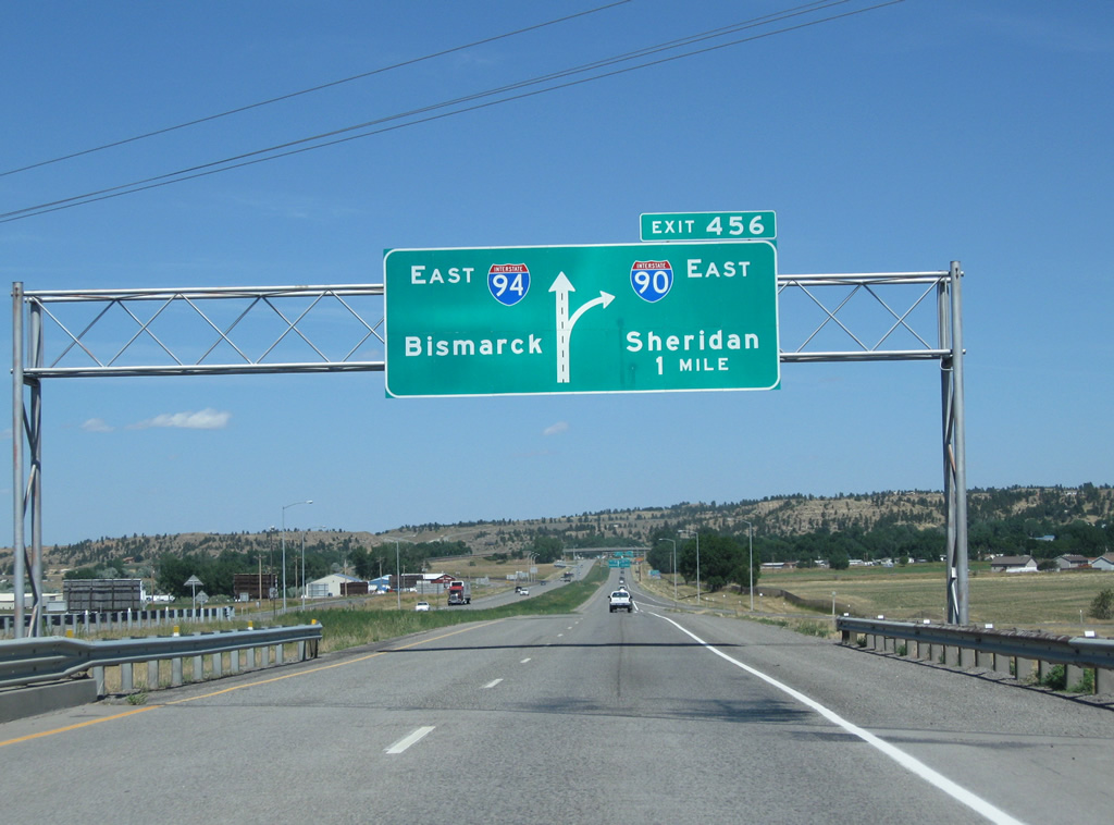
The mainline of Interstate 90-U.S. 212 east & U.S. 87 south defaults onto Interstate 94 east at Exit 456 while a single lane facilitates the movements of Interstate 90 east to Hardin, Crow Agency and Sheridan, Wyoming.
08/08/11
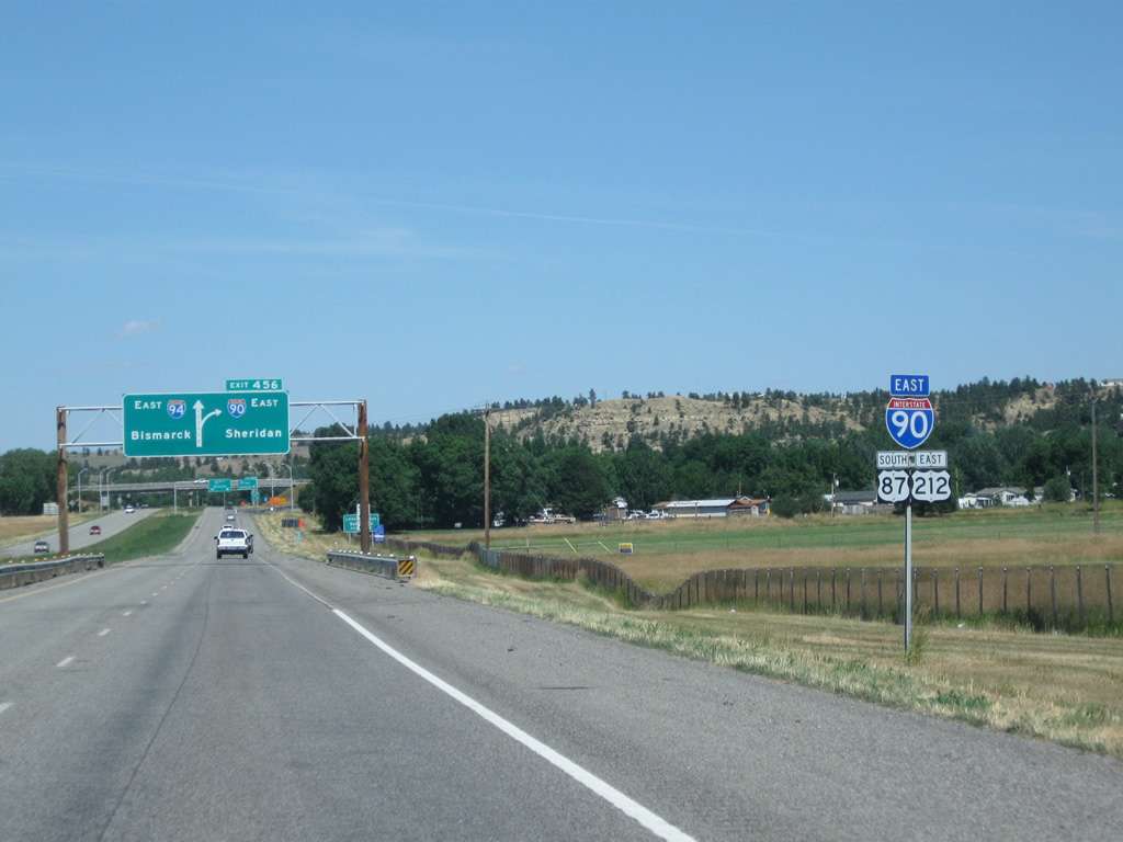
U.S. 212 remains alongside Interstate 90 to Exit 510 beyond Crow Agency. The route originally ended in Miles City, but was extended westward to Yellowstone National Park in 1962.1
08/08/11
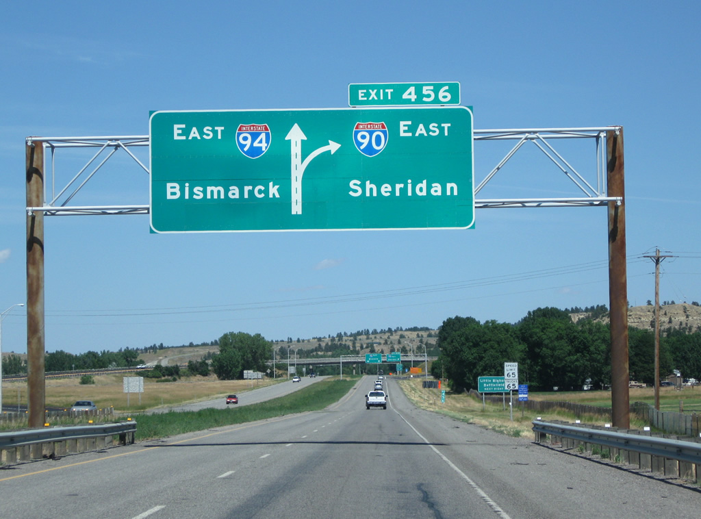
Interstate 94 leaves Billings for Miles City, Glendive and Bismark, North Dakota. The Interstate stretches 1,625 miles across the northern tier of the United States to Fargo, North Dakota; Saint Cloud and the Twin Cities, Minnesota; Eau Claire, Madison and Milwaukee, Wisconsin; Chicago, Illinois; Gary, Indiana; and Kalamazoo, Battle Creek, Lansing and Detroit, Michigan.
08/08/11
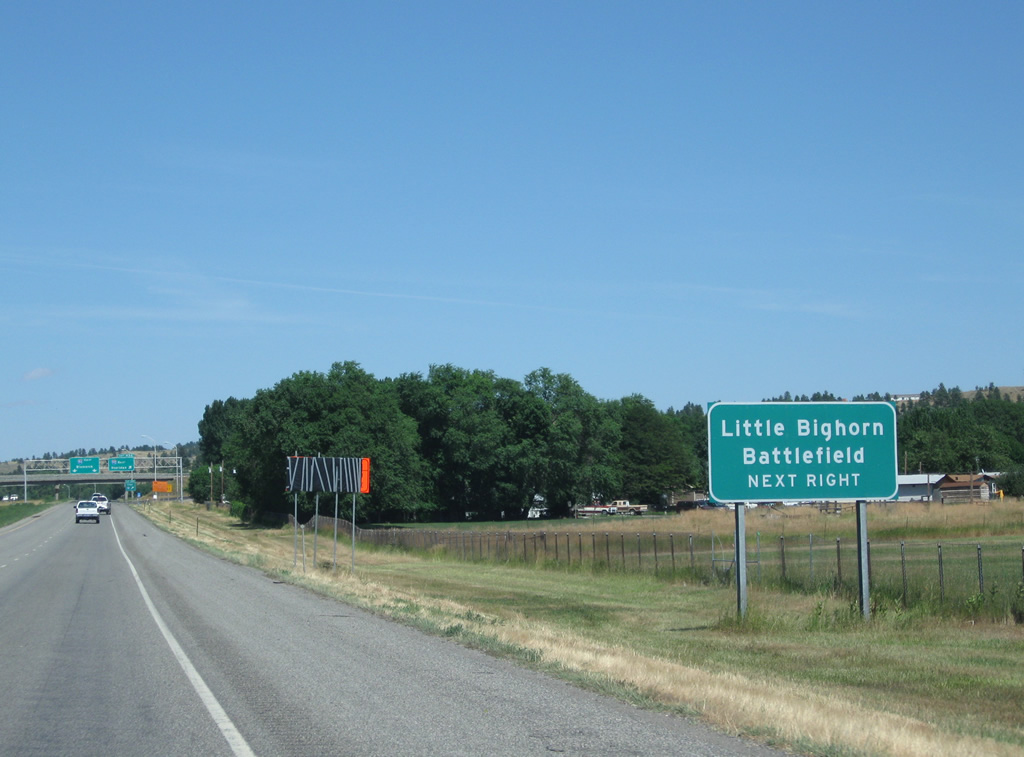
Interstate 90 kinks southward from Billings through Big Horn County on its exit of the Treasure State. Interests to Little Bighorn Battlefield should follow the route to its split with U.S. 212 east.
08/08/11
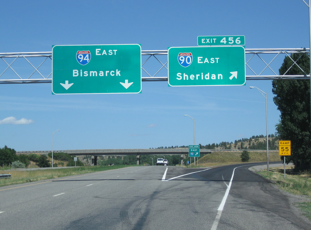
Interstates 90 and 94 part ways at Exit 456 with I-94 paralleling the Yellowstone River to Exit 215 at Glendive. Both routes travel through sparsely populated areas on their leave from Billings.
08/08/11
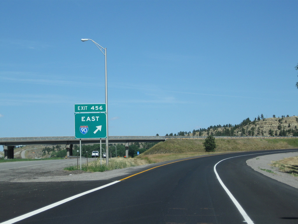
Turning southward from Interstate 94 along Interstate 94-U.S. 212 east & U.S. 87 south. The two freeways come together at Tomah, Wisconsin, 1,044 miles to the east on I-90 and 1,003 miles to the east along I-94.
08/08/11
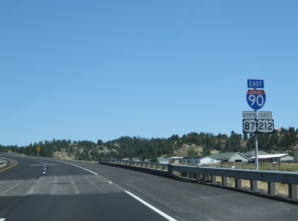
Passing over Dickie Road, drivers pass by this set of reassurance markers for Interstate 90 & U.S. 87-212 as speed limits increase to 75 miles per hour.
08/08/11
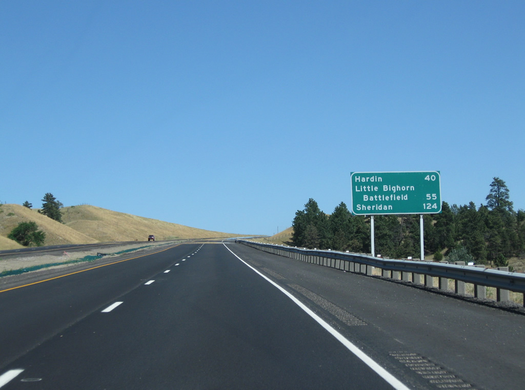
Hardin, the seat of Big Horn County, is the next city along Interstate 90 east in 40 miles. Sheridan, Wyoming lies 26 miles south of the state line.
08/08/11
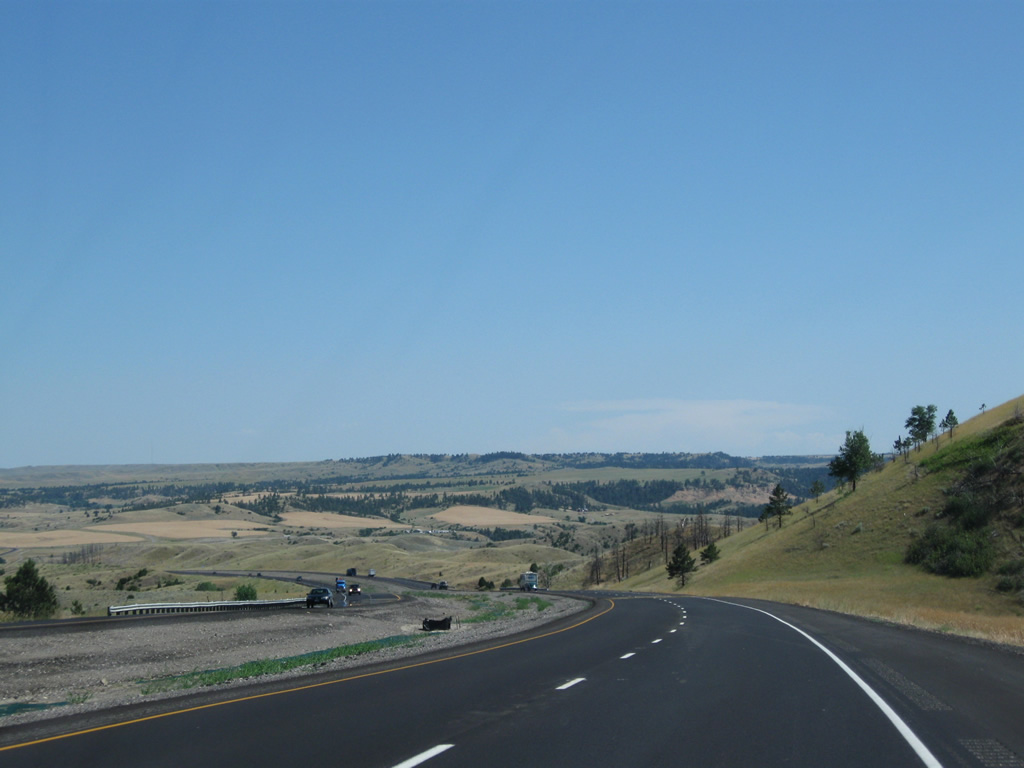
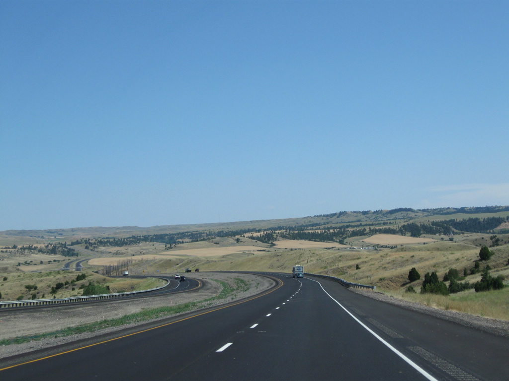
Interstate 90 swings southward, first increasing in elevation from 3,200 to 3,500 feet before dropping 100 feet from one plateau and another 200 feet from a second plateau back to 3,200 feet above sea level ahead of Exit 462.
08/08/11
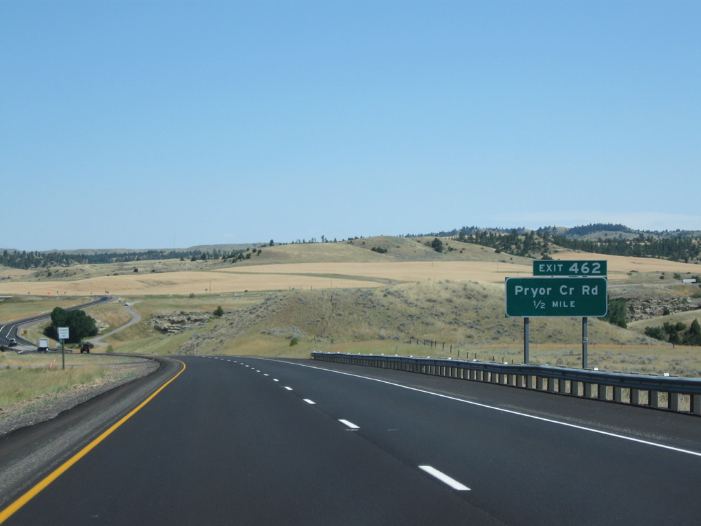
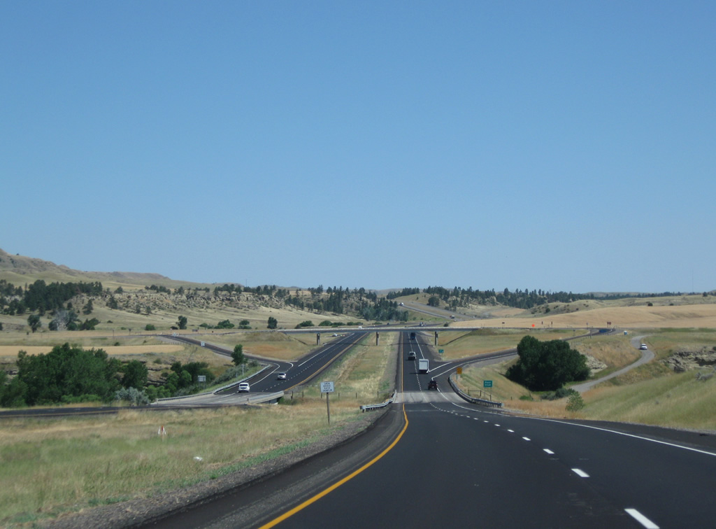
Pryor Creek Road south and Indian Creek Road north come together at a diamond interchange (Exit 462) in one half mile.
08/08/11

Pryor Creek flows northward to the Yellowstone River near Huntley. Interstate 90 crosses the waterway just ahead of the Exit 462 off-ramp on a pair of bridges built in 1969.
08/08/11
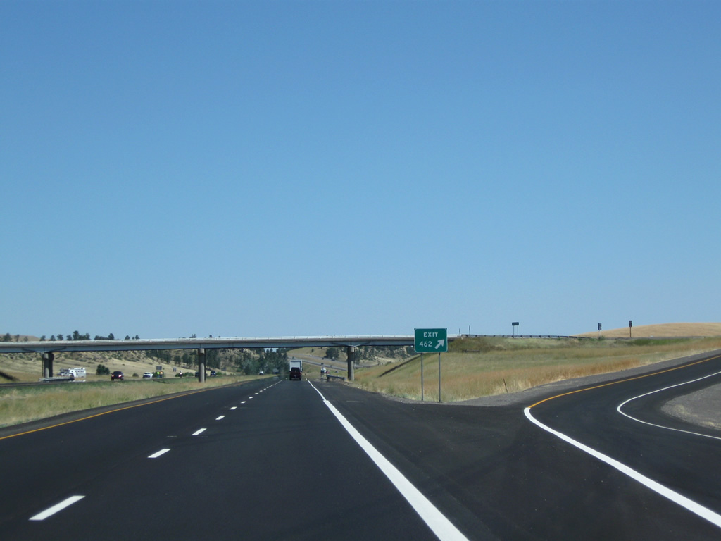
Exit 462 departs Interstate 90-U.S. 212 east & U.S. 87 south without a second guide sign. Pryor Creek Road leads north to Exit 6 of Interstate 94 to become Northern Avenue through Huntley. Indian Creek Road parallels I-90 east to Indian Arrow and Exit 469.
08/08/11
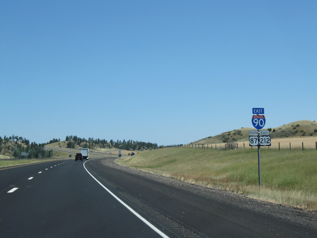
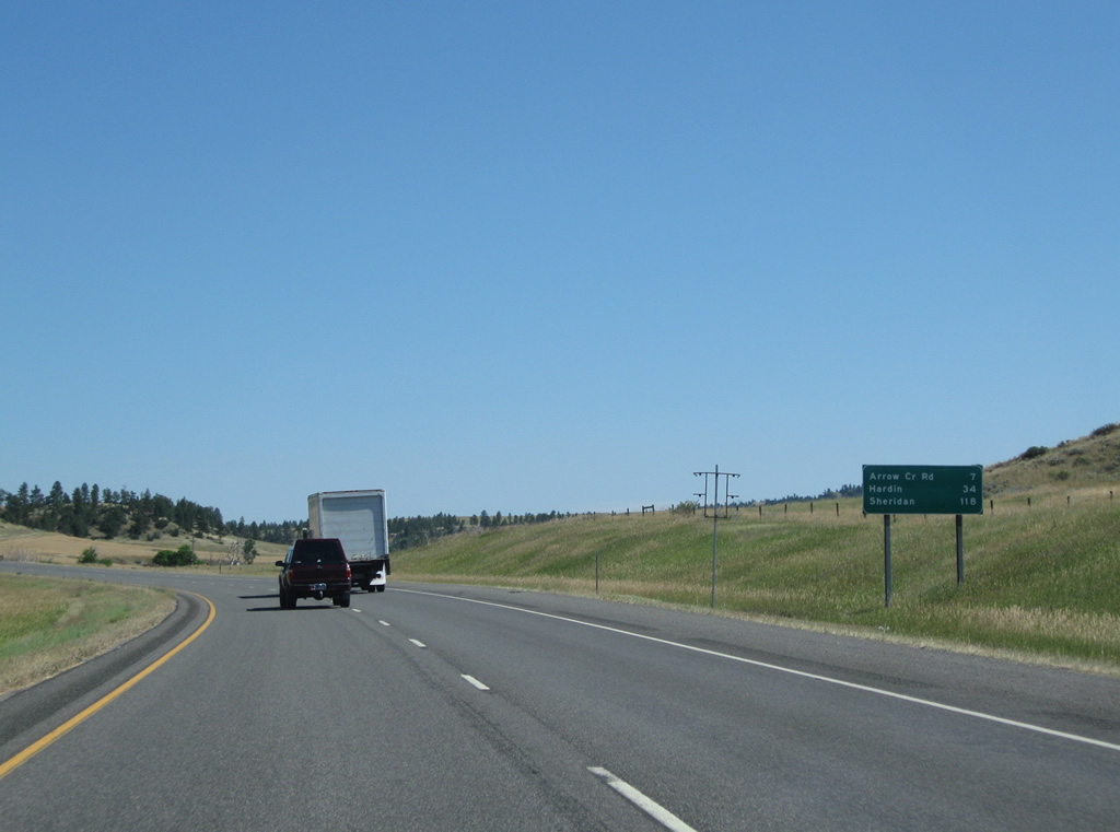
Interstate 90 continues east 34 miles to Hardin and 118 miles to Sheridan.
08/08/11
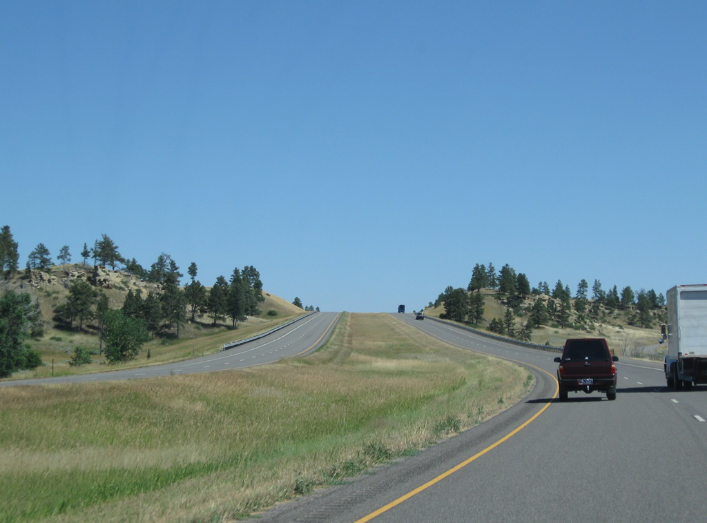
Rising onto a hill after crossing Indian Creek along Interstate 90-U.S. 212 east & U.S. 87 south.
08/08/11
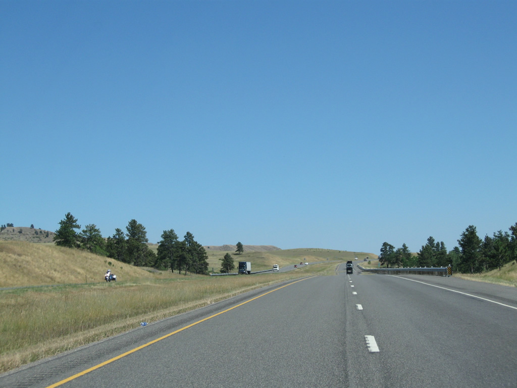
Interstate 90 stays around 3,500 feet in elevation above parallel Indian Creek and below a 3,800 foot bluff to the north.
08/08/11
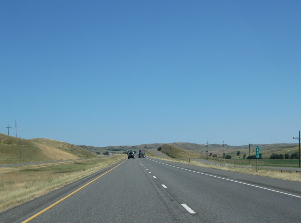
Indian Creek Road switches sides with Interstate 90 as Stark Road lines the eastbound lanes.
08/08/11
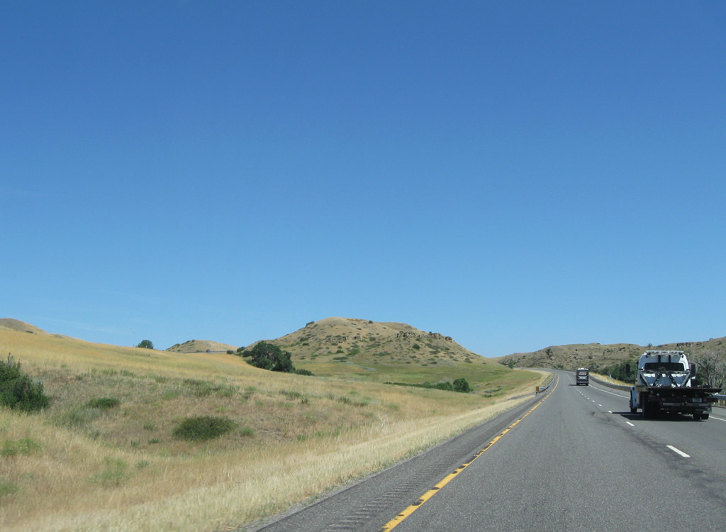
The roadways of Interstate 90 separate south of Indian Arrow as the freeway increases to over 3,900 feet in elevation.
08/08/11
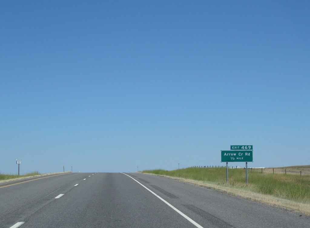
Arrow Creek Road, like Pryor Creek Road to the west, heads north from a diamond interchange with Interstate 90 to Interstate 94 (Exit 14).
08/08/11
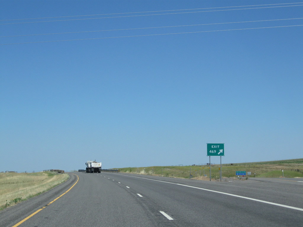
Exit 469 is basically a ranch exit, as no services are available. Arrow Creek Road becomes an unsurfaced road out from Interstate 90 and mirrors Arrow Creek northward to Ballantine.
08/08/11
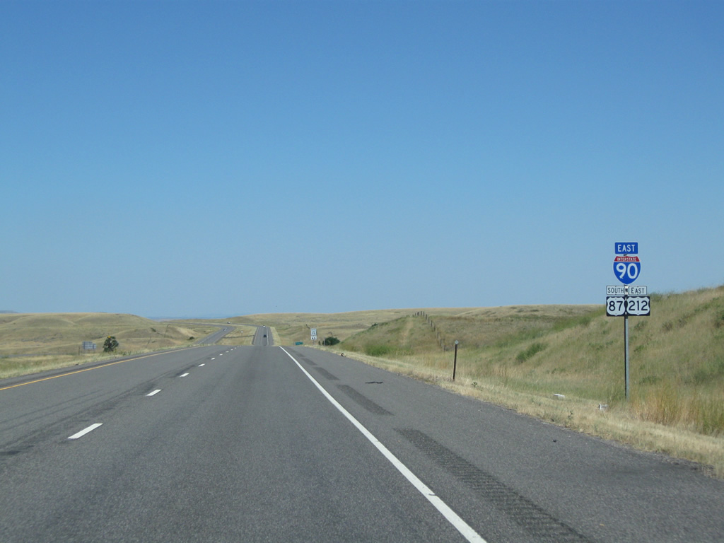
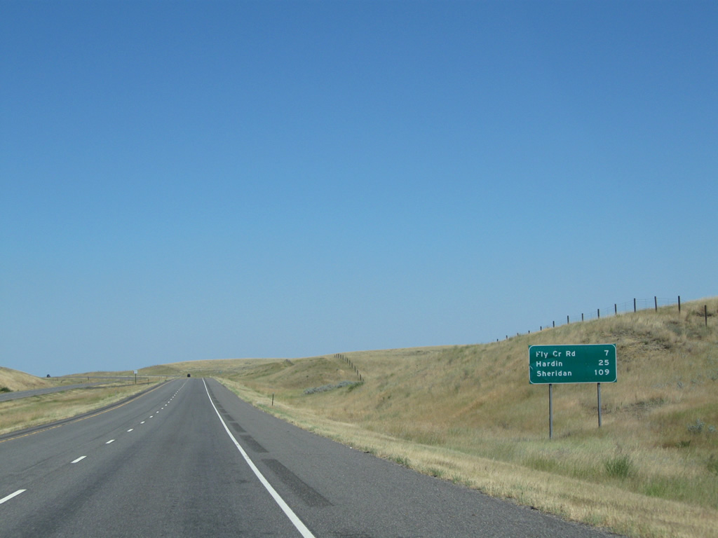
Fly Creek Road is the next exit in seven miles. Hardin is now 25 miles, followed by Sheridan in 109 miles.
08/08/11
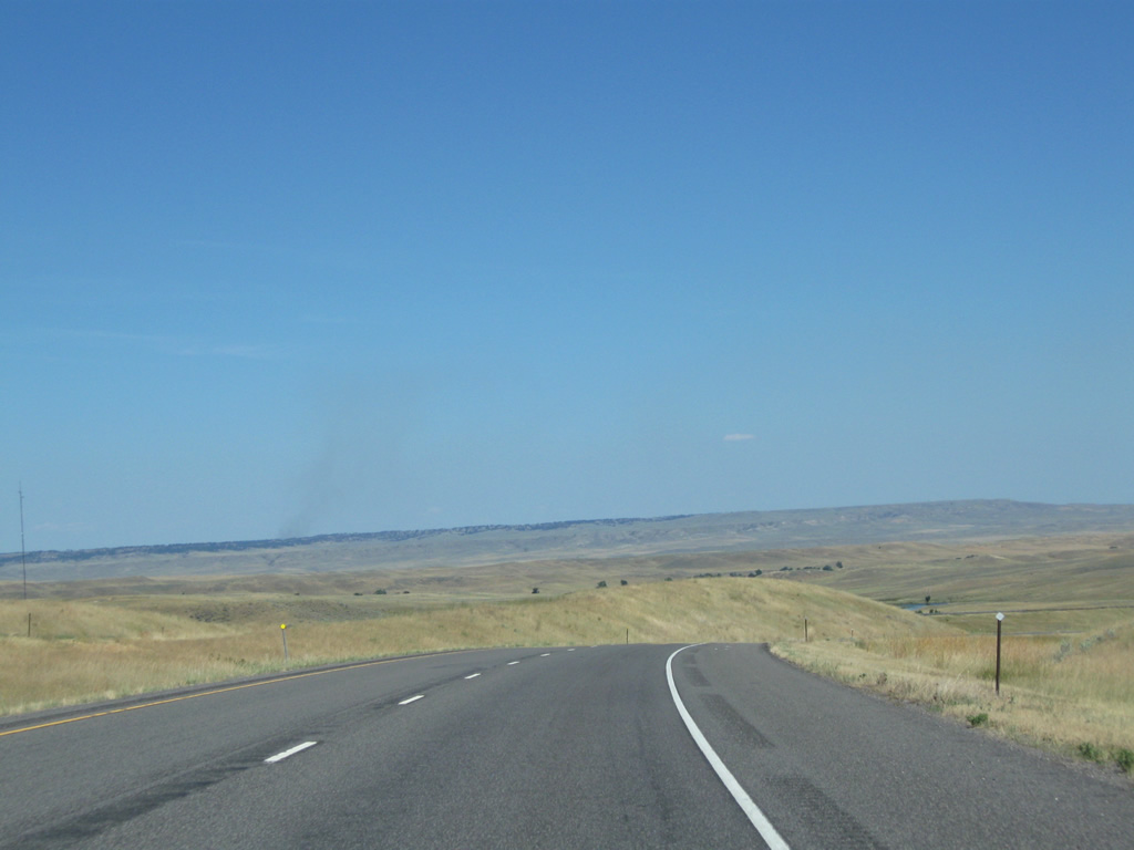
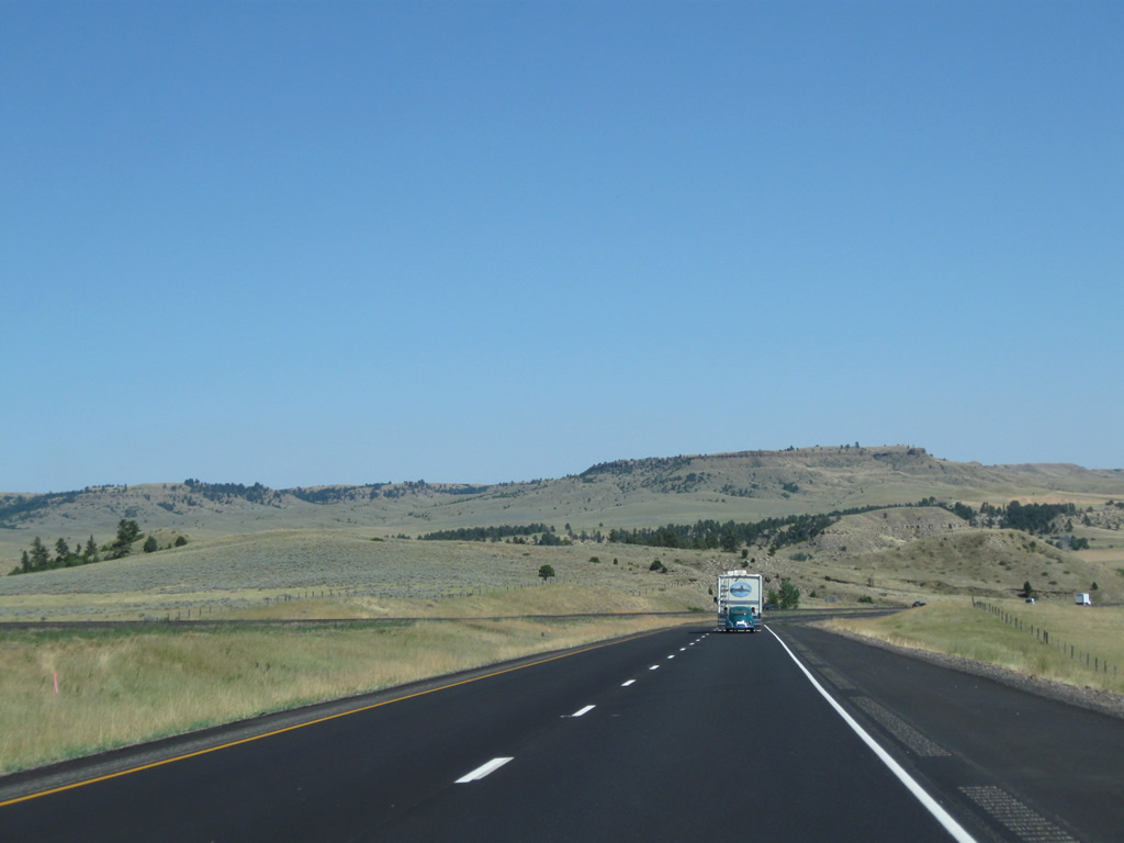
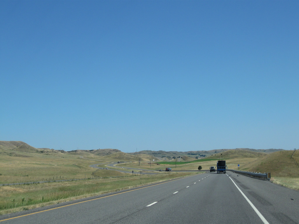
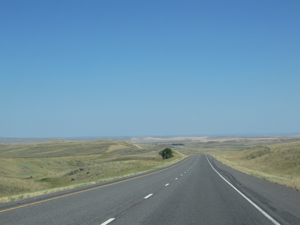
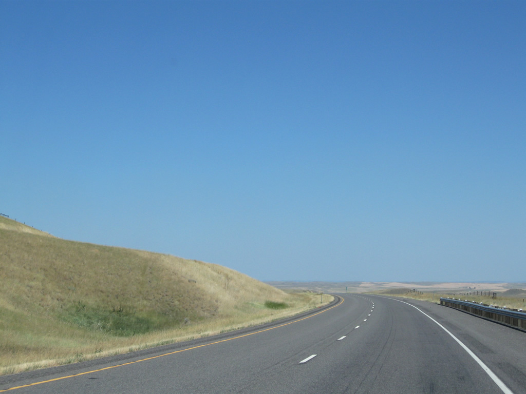
Another series of hills await eastbound drivers along Interstate 90 along a lightly traveled stretch of roadway, where the roadways again separate far enough to occasionally disappear in view from one another. 5,750 vehicles per day were recorded on this stretch of Interstate 90 in 2011.
08/08/11
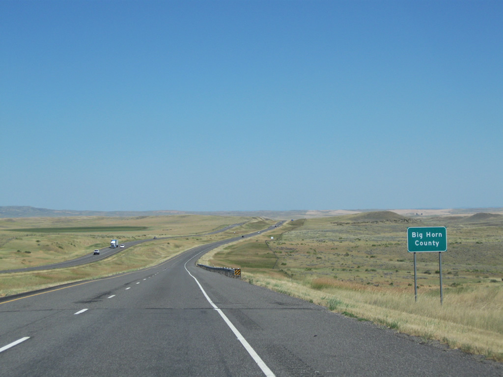
Big Horn County is the last of 14 counties along Interstate 90's trek across the Treasure State.
08/08/11
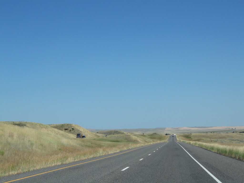
Interstate 90 & U.S. 87-212 beeline eastward along a two mile stretch preceding the last rest area in Montana.
08/08/11
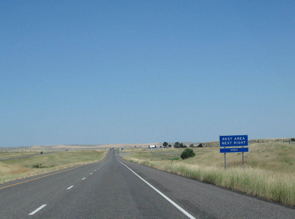
Passing by milepost 476, eastbound motorists reach the Big Horn County rest area. A companion facility resides in the westbound direction opposite this location.
08/08/11
Leaving the rest area, Interstate 90 parallels Spring Creek to the Fly Creek Road diamond interchange (Exit 478).
08/08/11
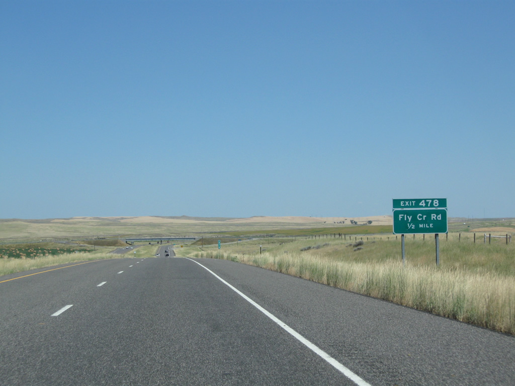
Fly Creek Road is unpaved in Big Horn County. The ranch road leads south from Exit 478 to Old U.S. 87 and north as a paved route in Yellowstone County to Exit 23 of Interstate 94 at Montana Secondary 568 (former U.S. 312).
08/08/11
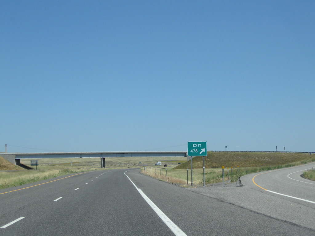
Exit 478 leaves Interstate 90-U.S. 212 east & U.S. 87 south for Fly Creek Road. Again there is only one guide sign for the exit.
08/08/11
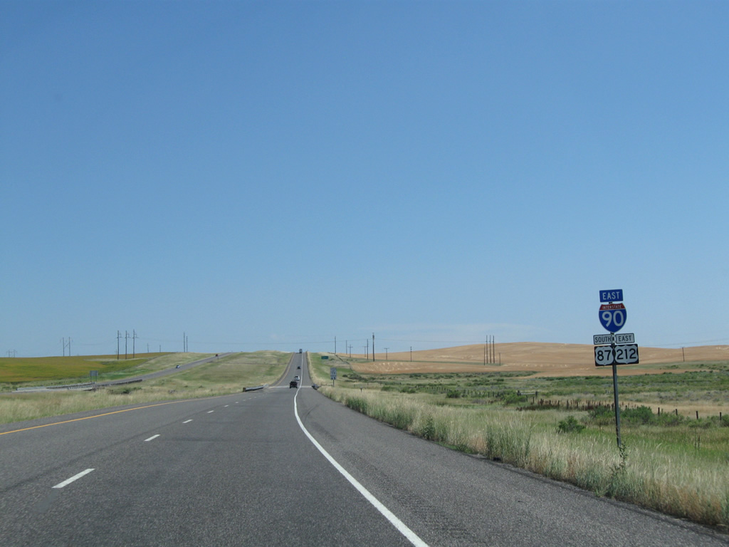
Shields for Interstate 90 & U.S. 87-212 posted ahead of the crossing over Fly Creek. This stretch of freeway was completed in 1972.
08/08/11
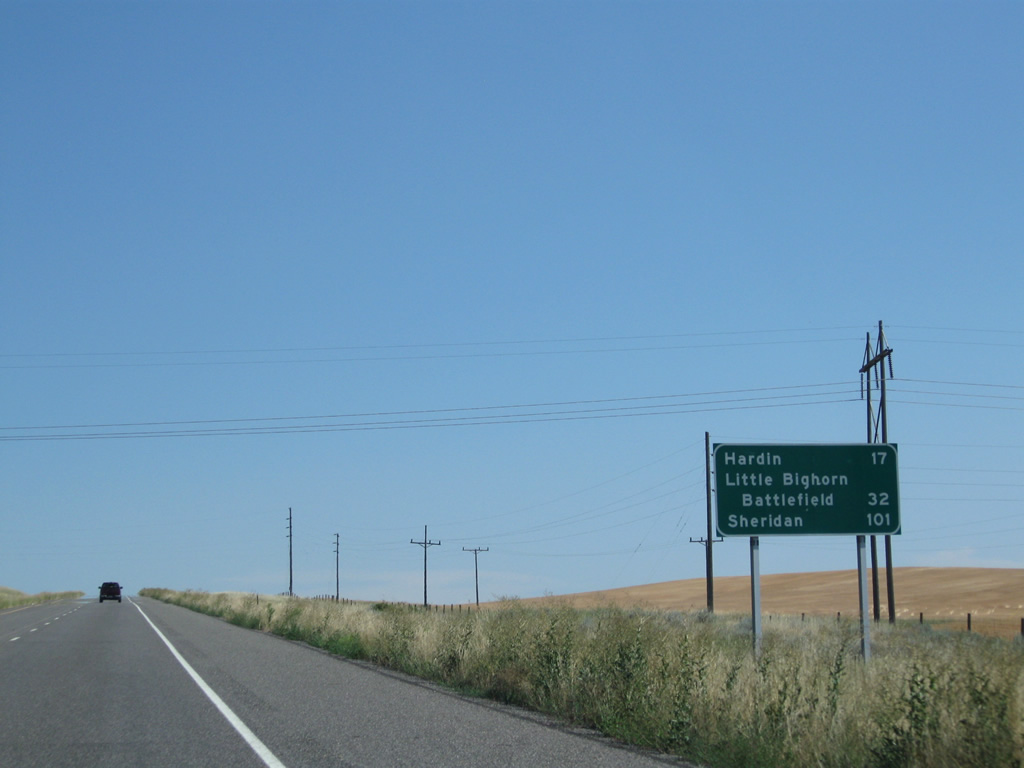
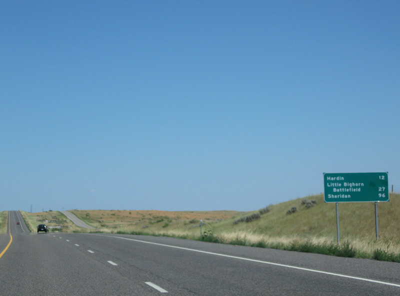
Now only 17 miles from Hardin, Little Bighorn Battlefield reappears on this eastbound distance sign at 32 miles out. The National Battlefield lies just south of U.S. 212 beyond its split with I-90 at Exit 510.
08/08/11
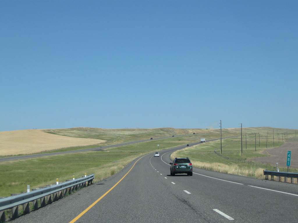
Interstate 90 lines an agricultural area after its crossing over a BNSF Railroad line at milepost 481.
08/08/11
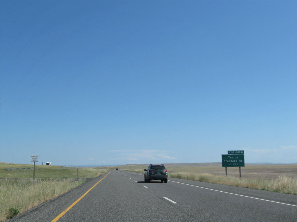
Toluca Frontage Road connects Interstate 90 & U.S. 87-212 with Old U.S. 87 near the railroad siding of Toluca. Old U.S. 87 & 212 meander southeast from Billings along a circuitous route through the northern reaches of Crow Indian Reservation before reconvening with I-90 near Exit 484.
08/08/11
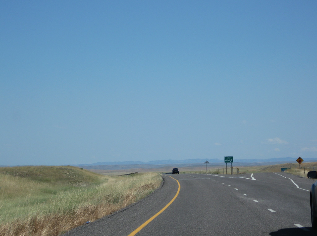
Entering the Exit 484 diamond interchange with Toluca Frontage Road on Interstate 90 east. A ranch road ties into the north side of the interchange as Old U.S. 87 & 212 parallel the south side of the freeway eastward to Hardin.
08/08/11
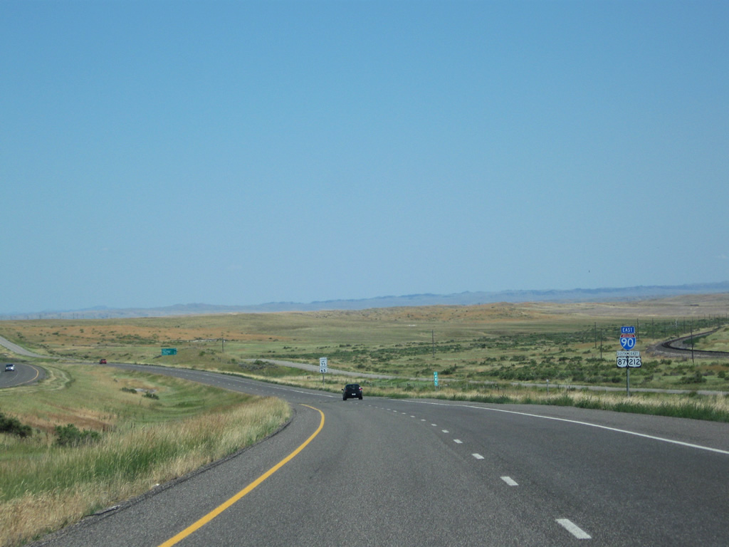
Interstate 90 & U.S. 87-212 travel another 12 miles to Hardin. Old U.S. 87 & 212 veer away from the freeway in two miles and beeline eastward through open ranch land to 3rd Street through Hardin while I-90 bypasses the city to the north.
08/08/11
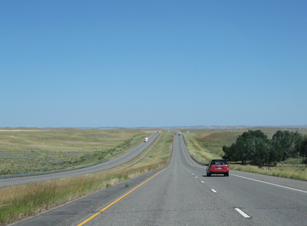
A handful of trees appear alongside Interstate 90 at the crossing over Peritsa Creek.
08/08/11

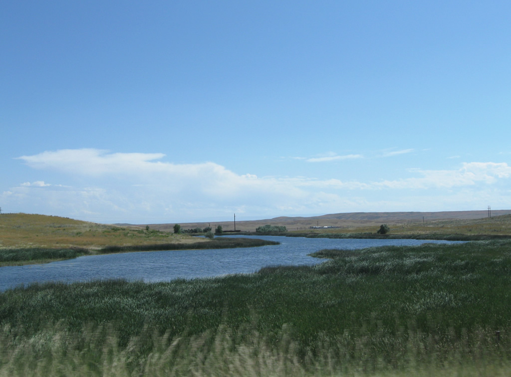
Tributaries of Peritsa Creek were dammed to form several ponds to the south of Interstate 90 ahead of milepost 490. These bodies of water break the monotony of the arid landscape (Hardin's average annual rainfall is just 12.07 inches).
08/08/11
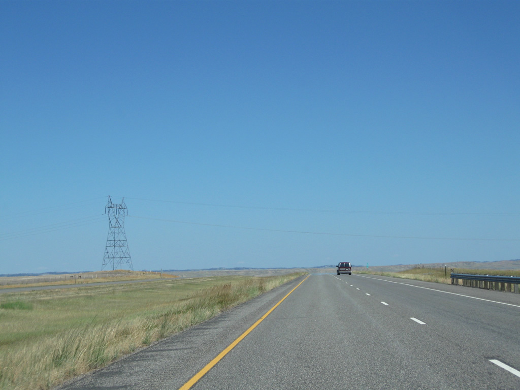
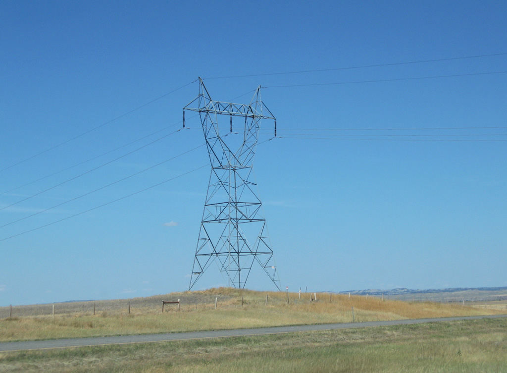
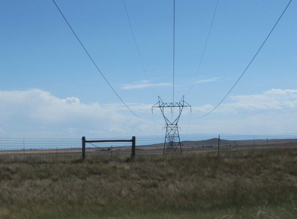
A set of transmission lines cross paths with Interstate 90 & U.S. 87-212 east by milepost 492.
08/08/11
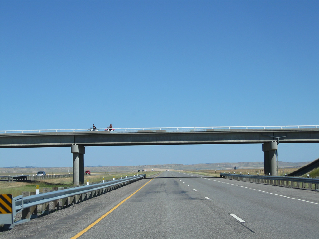
Interstate 90 & U.S. 87-212 lead due east from Torske Overpass Road to the city of Hardin.
08/08/11
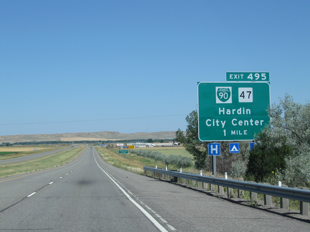
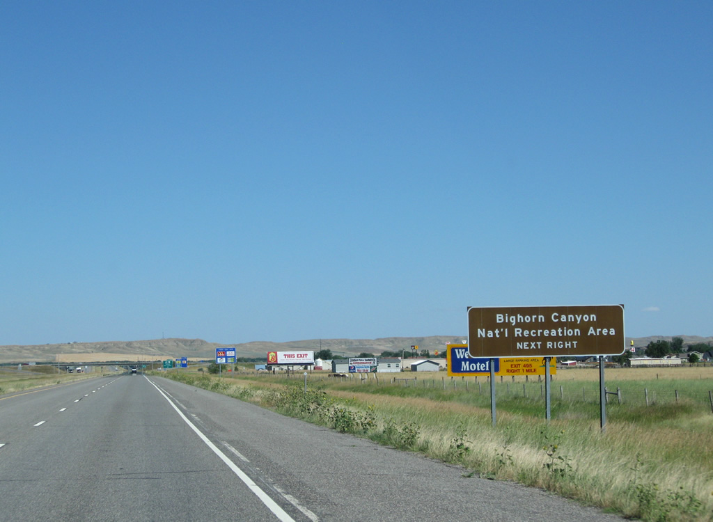
Approaching the Exit 495 diamond interchange with MT 47 and Business Loop I-90 east at Hardin on Interstate 90 & U.S. 87-212 east. The forthcoming business loop follows Center Avenue south to the Hardin city center and 3rd Street east back to Interstate 90.
08/08/11
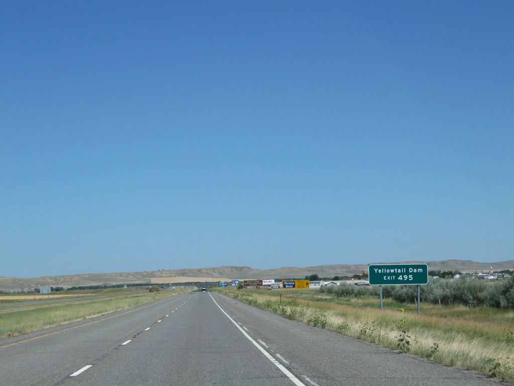
S-313 leads 38.59 miles southwest from MT 47 (Center Avenue) in Hardin to Saint Xavier, Fort Smith and Yellowtail Dam. Yellowtail Dam was constructed between 1961 and 1967 along the Bighorn River. The dam lies within Bighorn Canyon National Recreation Area.
08/08/11
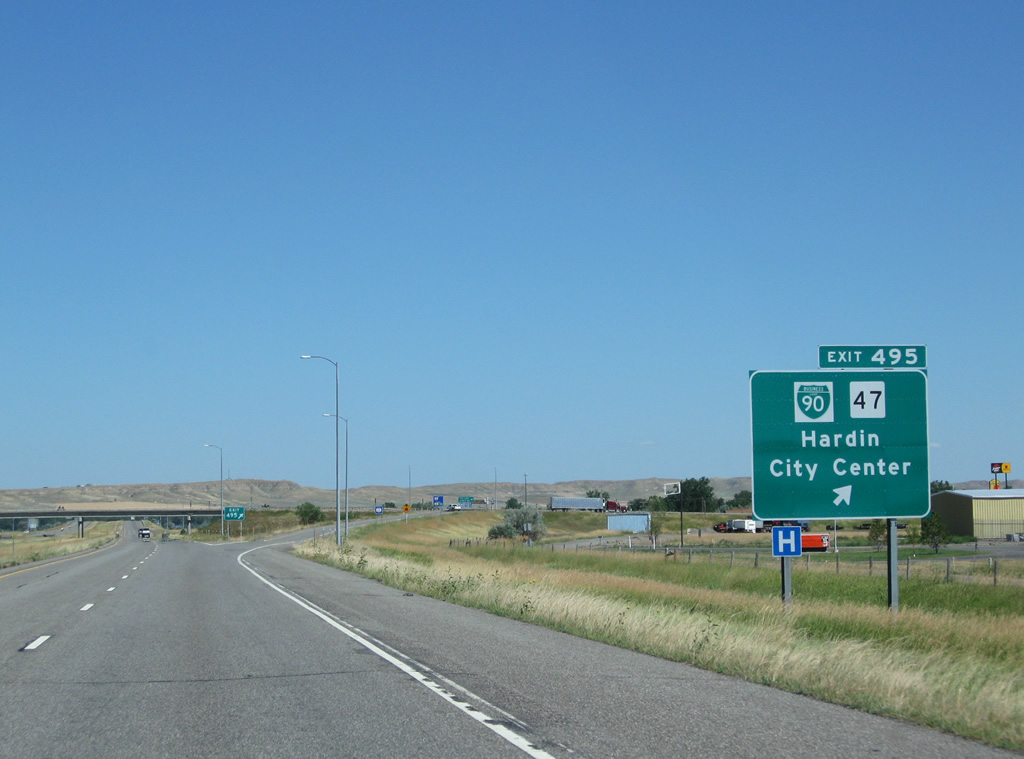
MT 47 travels north from Hardin and Interstate 90, 31 miles to Exit 49 of Interstate 94 near Custer. Business Loop I-90 coincides with the state highway 2.68 miles to Exit 497.
08/08/11
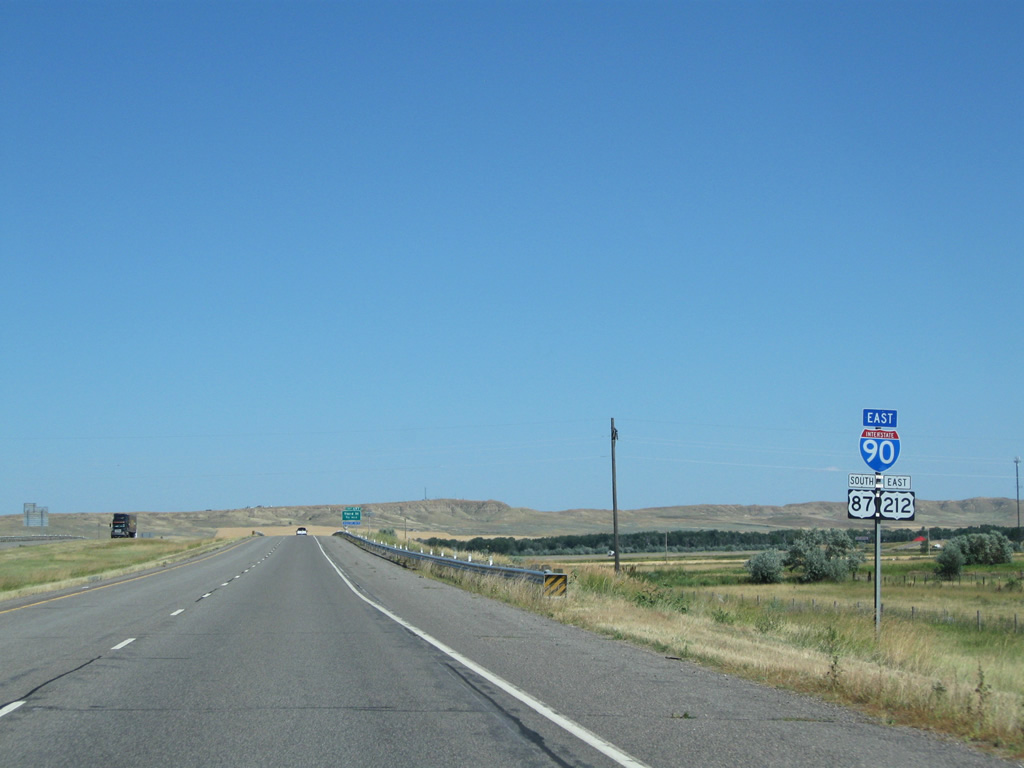
Interstate 90 encircles the northeast side of Hardin along a freeway completed in 1971.
08/08/11
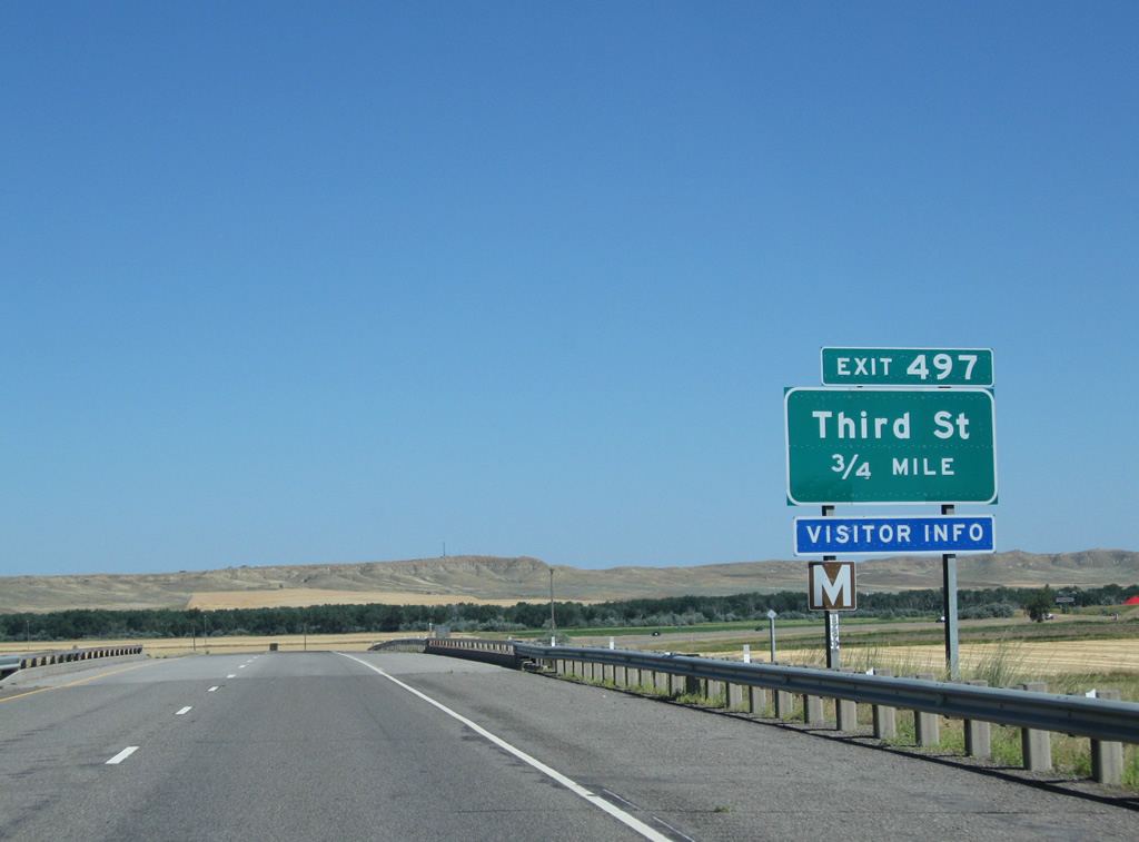
Crossing an abandoned CB&Q Railroad spur, Interstate 90-U.S. 212 east & U.S. 87 south curve southward and next meet Third Street (Business Loop I-90 west & MT 47 north) in 0.75 miles.
08/08/11
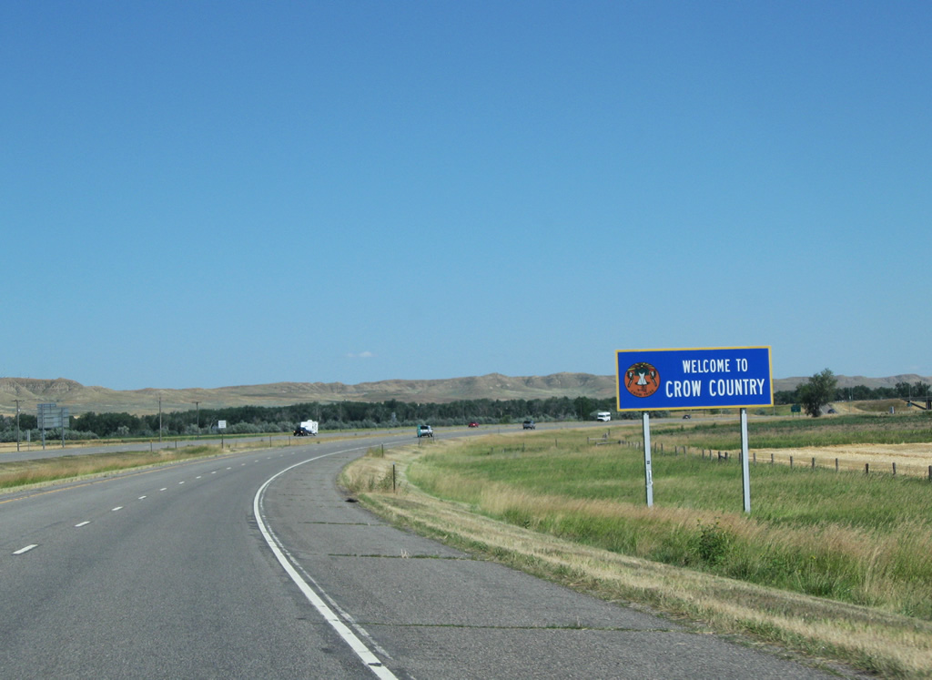
Eastbound travelers formally enter Crow Indian Reservation (Crow Country) ahead of Exit 497. Interstate 90 traverses the reservation to Wyoming.
08/08/11
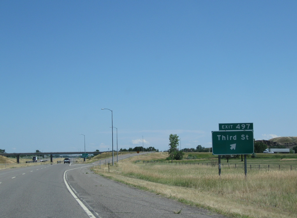
MT 47 ends at the diamond interchange (Exit 497) with 3rd Street, concluding a 31.44 mile route that started at Interstate 94. S-384 stems southeast from 3rd Street along the former U.S. 8/212, now a frontage road to I-90. The state highway provides the last direct route between I-90 and I-94, totaling 57.05 miles from here to Exit 72 near Sanders.
08/08/11
References:
- End of US highway 212. US Ends.com.
Photo Credits:
- Andy Field: 08/08/11
Connect with:

Page Updated Wednesday July 17, 2013.