
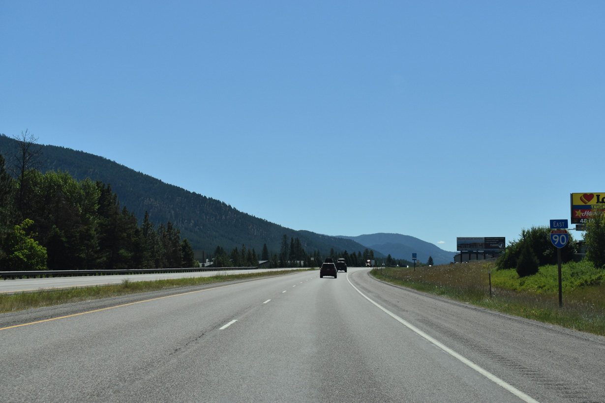
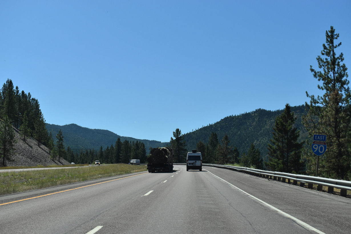
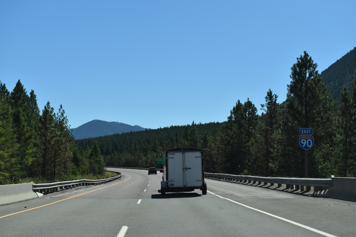
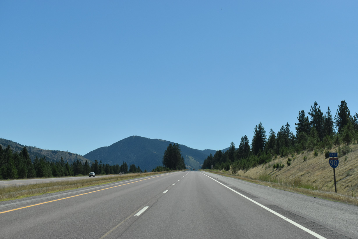
Interstate 90 East - Superior to Frenchtown
Interstate 90 east from the Business Loop I-90/S-507 (Railroad Avenue) overpass at Alberton. - 07/18/2023

07/18/23

07/18/23

07/18/23

07/18/23
07/18/23

07/18/23

07/18/23

07/18/23
07/18/23
07/18/23
07/18/23

07/18/23
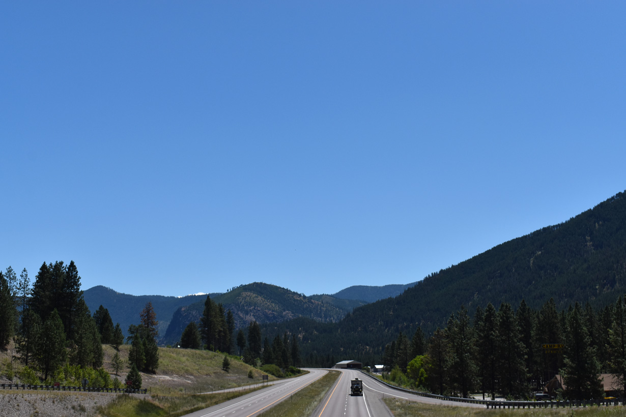
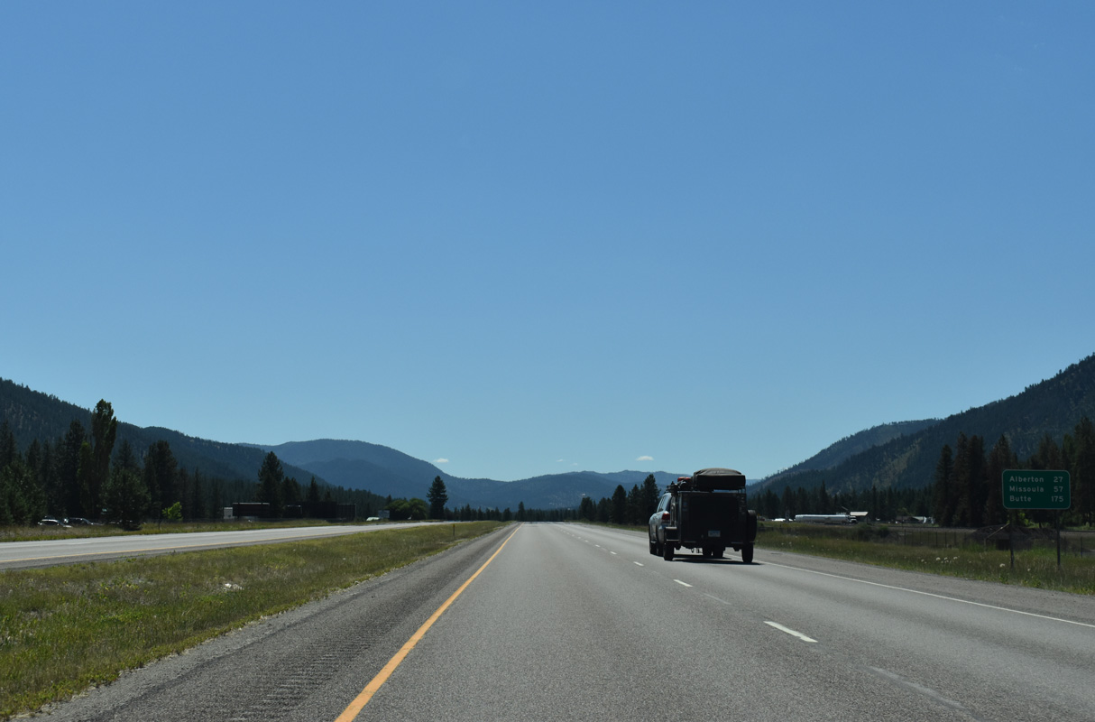
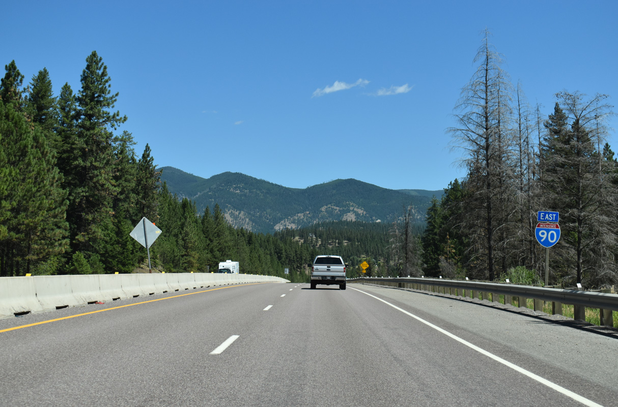
Interstate 90 east beyond mile marker 50.
07/18/23
07/18/23

07/18/23
06/28/15

07/18/23
07/18/23

07/18/23

07/18/23
07/18/23

07/18/23
07/18/23

07/18/23
07/18/23

07/18/23
07/18/23
07/18/23

06/28/15

07/18/23

07/18/23

07/18/23
07/18/23

07/18/23
07/18/23

07/18/23
07/18/23

07/18/23

07/18/23
07/18/23
07/18/23

07/18/23
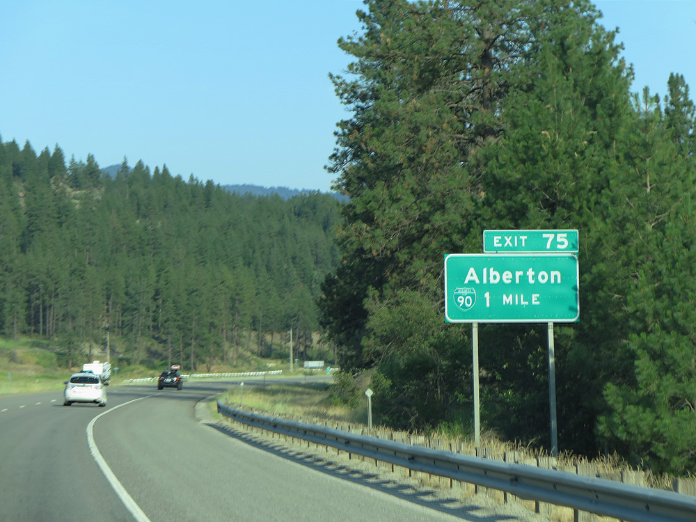
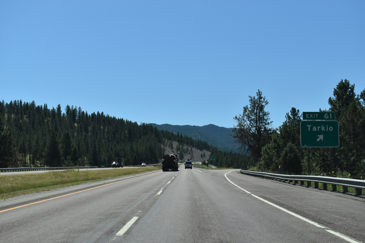
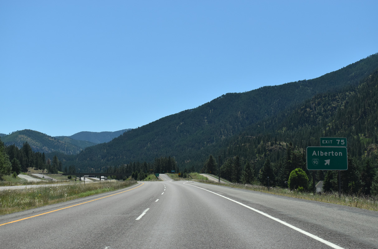
Business Loop I-90 overlaps with S-507 east 2.53 miles from Exit 75 into the town of Alberton.
06/28/15
06/28/15
Alberton (population 452 per the 2020 census) lies within a valley along both Interstate 90 and the Clark Fork river south of Ninemile Divide.
07/18/23
07/18/23
07/18/23
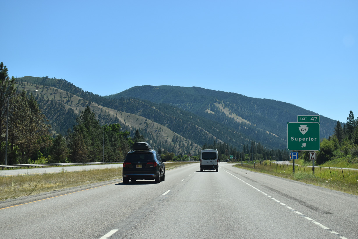
Leaving the diamond interchange (Exit 75) with Montana Secondary Highway 507/Business Loop I-90 (Railroad Avenue), Interstate 90 travels 1.2 miles through the town limits of Alberton.
07/18/23
07/18/23
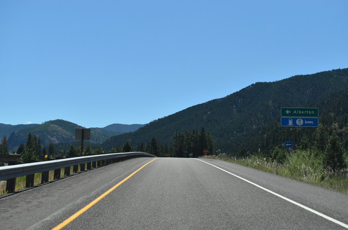
Business Loop I-90/S-507 follow Adams Street east from Old U.S. 10 (Railroad Avenue) and Alberton back to Interstate 90 at Exit 77.
07/18/23
07/18/23
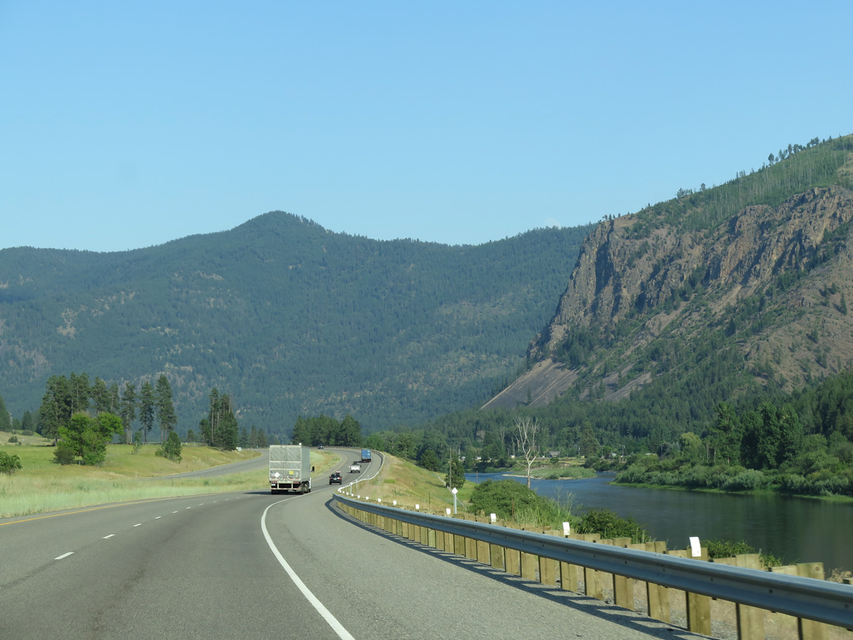
Albert Point rises to the southeast of Alberton and the adjacent Clark Fork river.
06/28/15
06/28/15
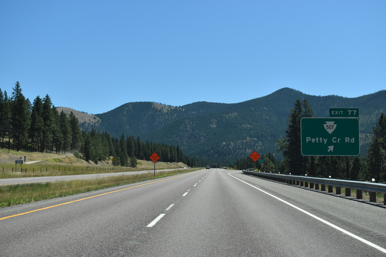
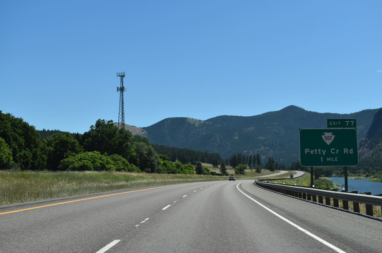
Exit 77 leaves Interstate 90 east for S-507 (Adams Street) back into Alberton and Petty Creek Road south across the Clark Fork river to adjacent Lothrop.
07/18/23
07/18/23

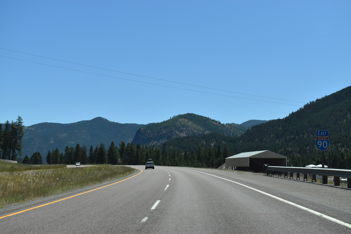
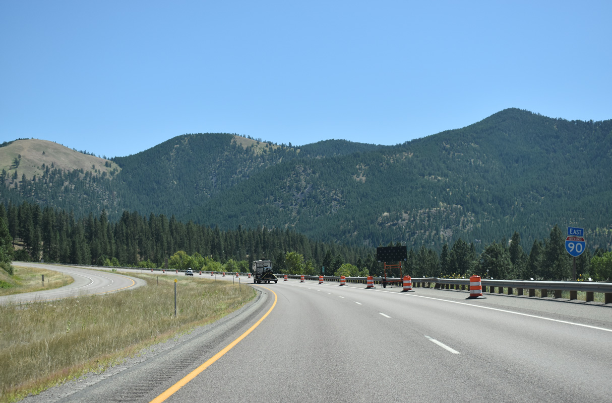
Interstate 90 enters Missoula County east at the Exit 77 gore point.
07/18/23
07/18/23

Exit 77 lowers to S-507 west to Alberton and Petty Creek Road south into Lolo National Forest west of Petty Mountain.
09/01/06
09/01/06
07/18/23

07/18/23

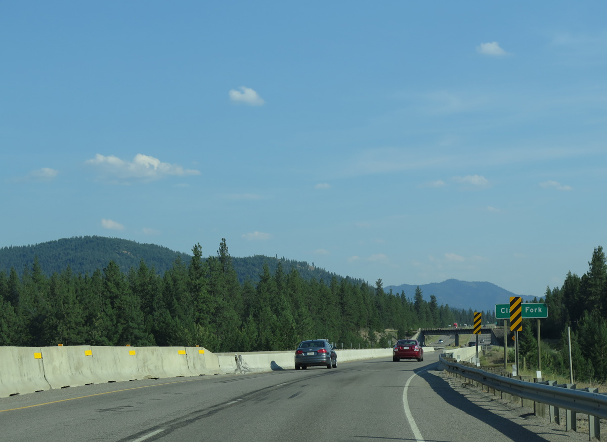
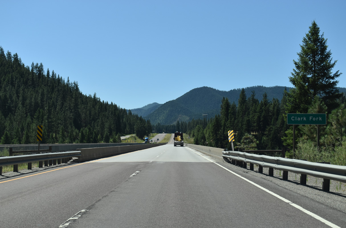
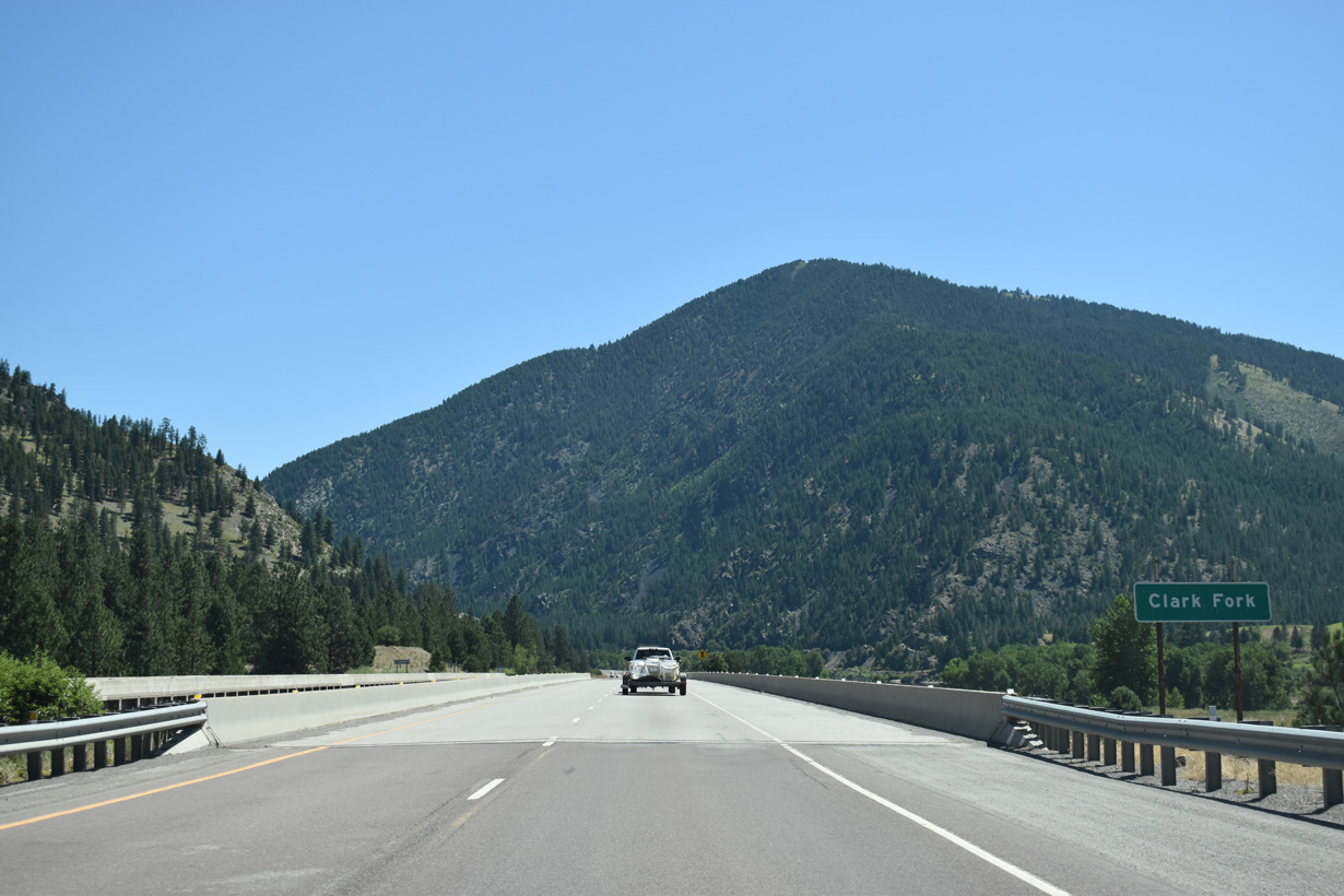
The original bridges across the Clark Fork river east of Alberton along Interstate 90 were built in the early 1960s.
06/28/15
06/28/15
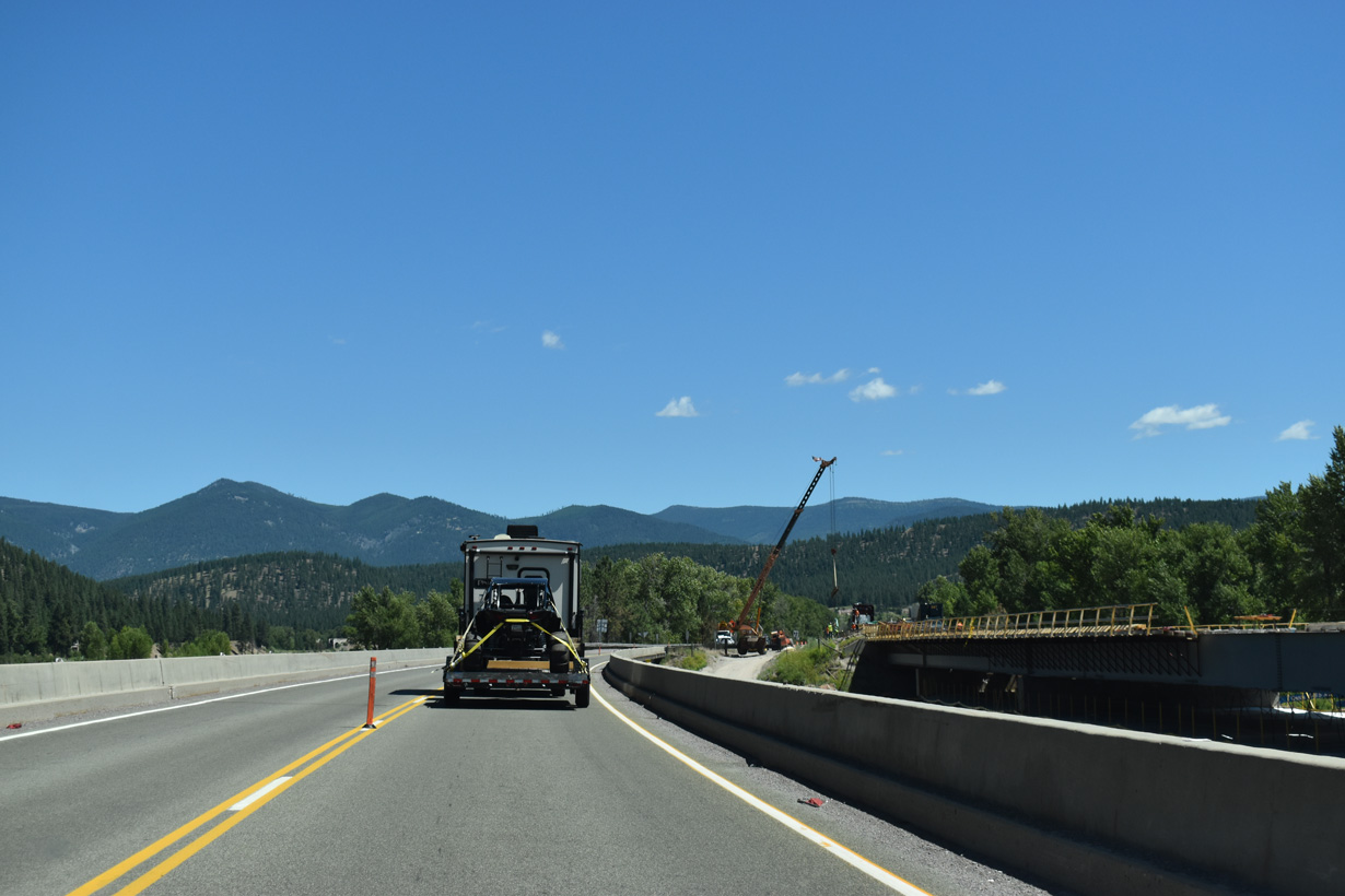
2023/24 construction replaced the eastbound span taking Interstate 90 across the Clark Fork river at mile marker 80.
07/18/23
07/18/23

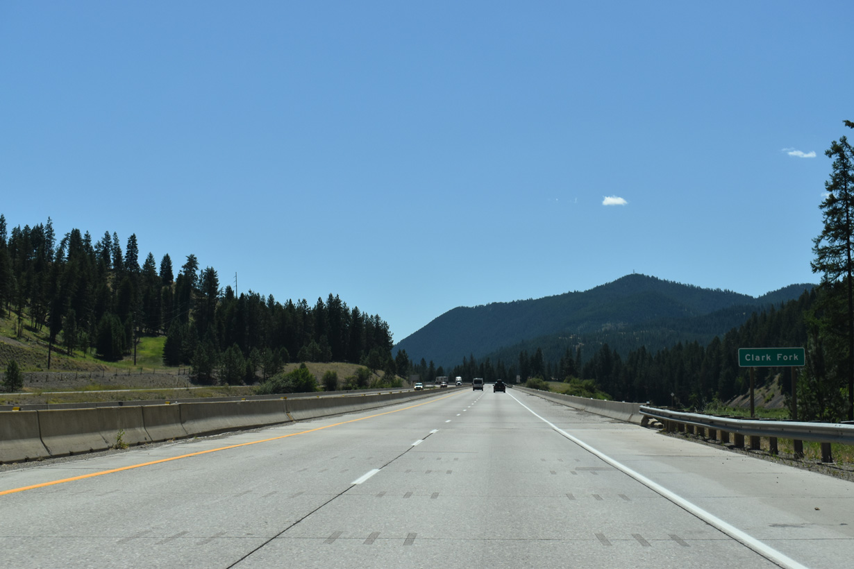
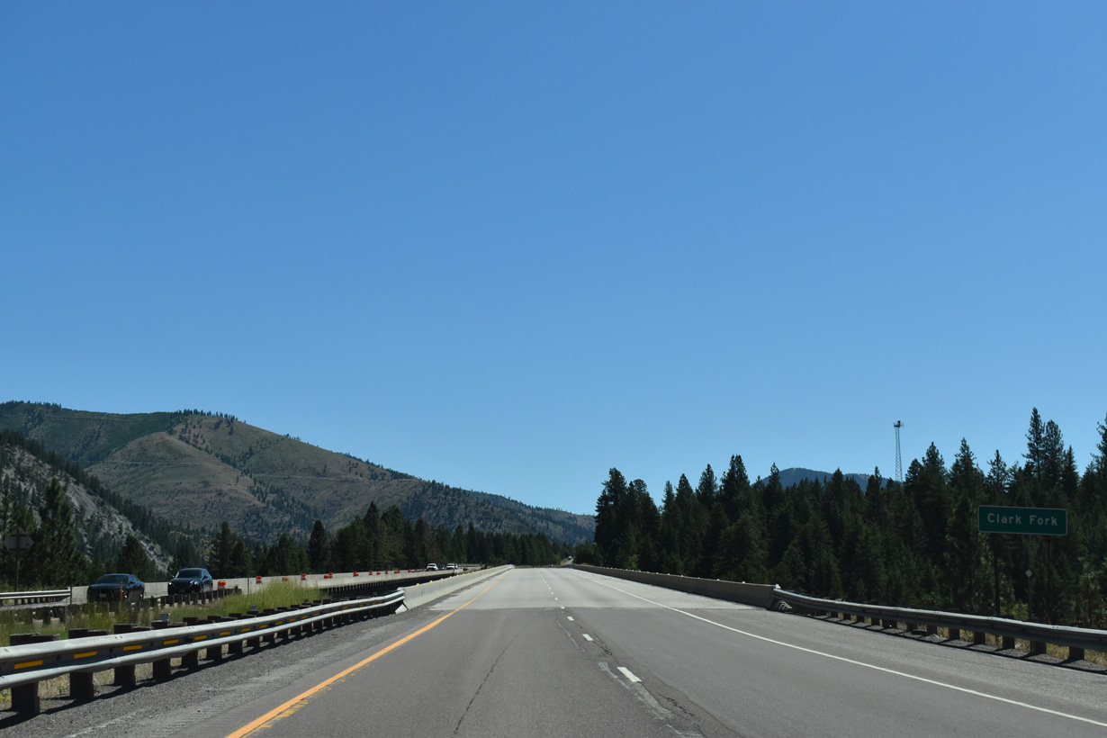
Highway 10 (Old U.S. 10) from Railroad Avenue in Alberton runs along the north side of the Clark Fork river to Soudan to Remount Road. Remount Road stems north to the Ninemile Remount Depot and Historic Ranger Station along Nine Mile Road.
07/18/23
07/18/23

07/18/23
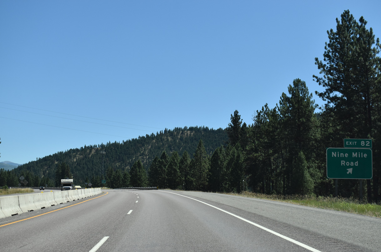
Highway 10 (CR 8) continues south from Remount Road by Cayuse Hill to the diamond interchange at Exit 82. Big Horn Road ties into the exchange from the south.
07/18/23
07/18/23
07/18/23

06/28/15

07/18/23

07/18/23

07/18/23
07/18/23

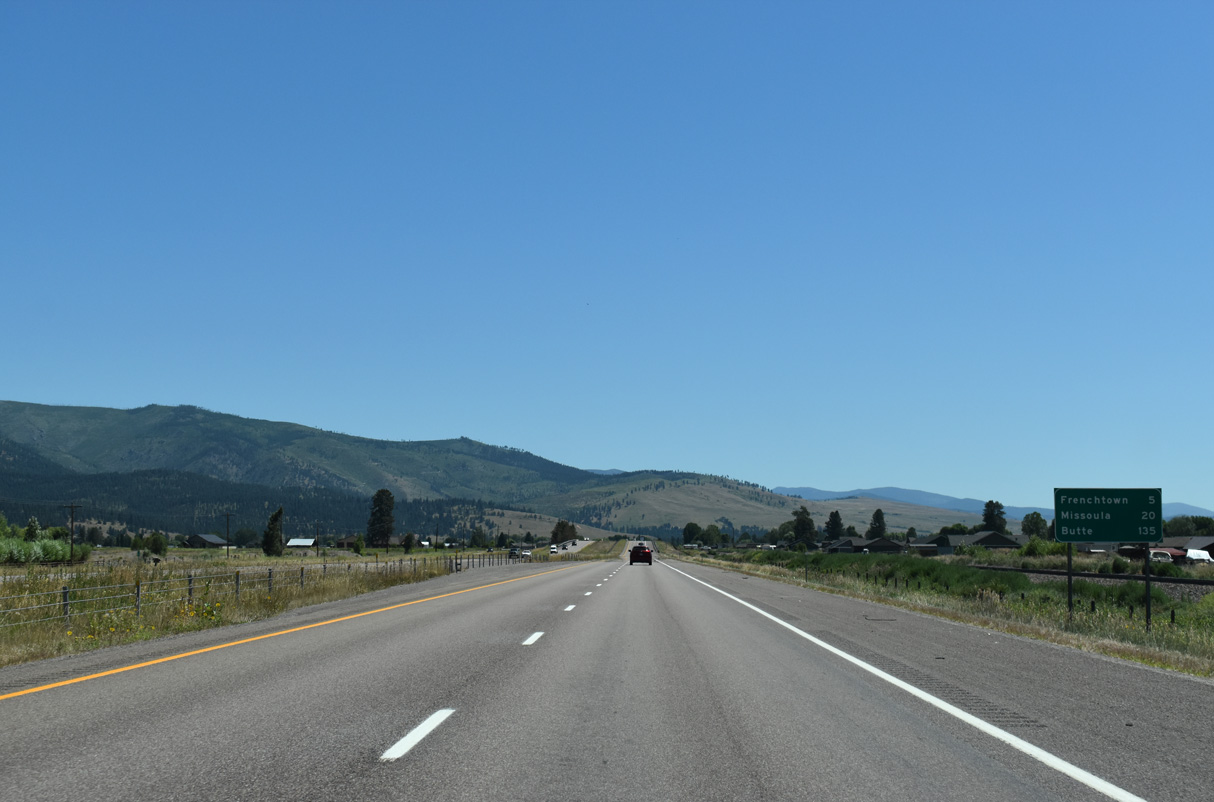
French Pond State Park lines the north side of Interstate 90 east of milepost 88, along parallel S-574.
07/18/23
07/18/23

07/18/23

07/18/23
Photo Credits:
- Brent Ivy: 07/18/23
- Andy Field: 06/28/15
- AARoads: 09/01/06
Connect with:
Page Updated Wednesday January 28, 2026.