
Interstate 190
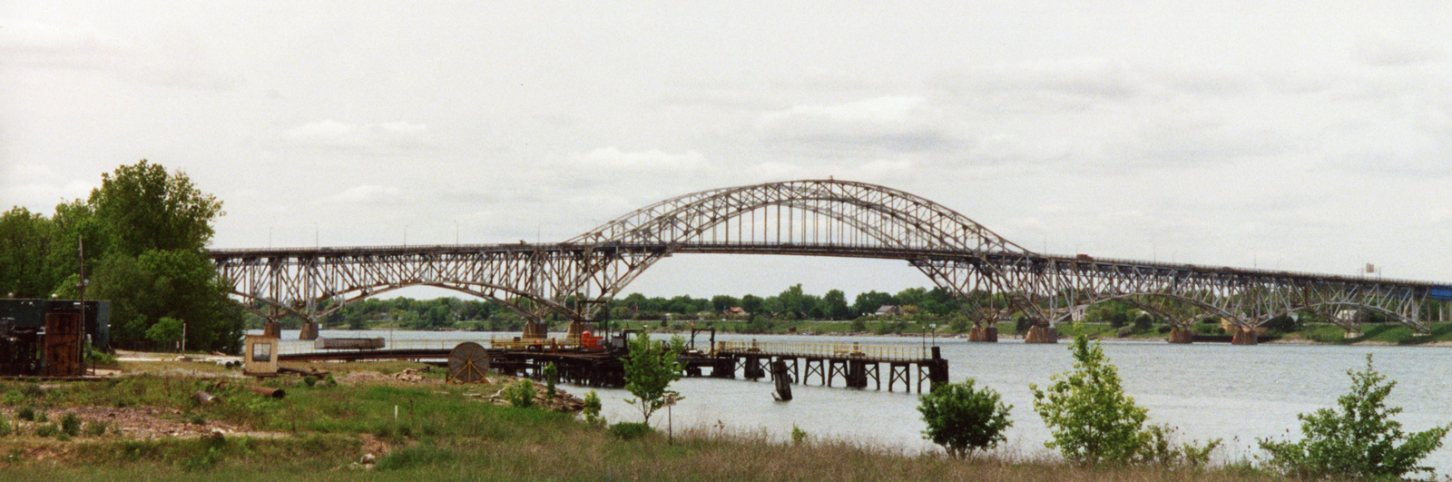
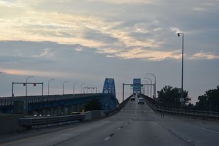
The South Grand Island Bridge from the east backs of the Niagara River along NY 266. - 05/27/2000
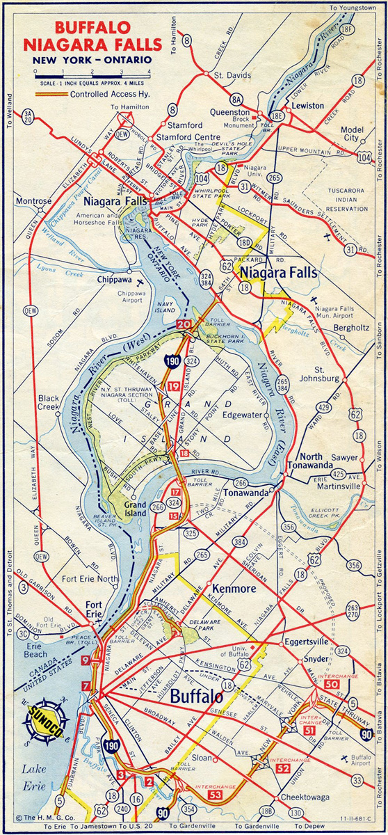
Buffalo / Niagara Falls in 1961.
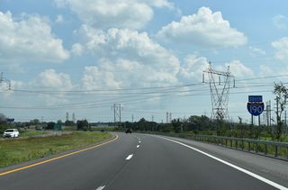
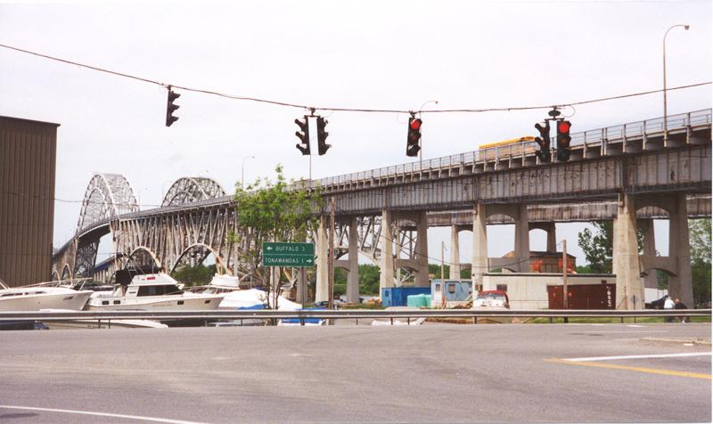
Measuring 28.66 miles in length, Interstate 190 branches northwest from I-90 (New York State Thruway) along the Niagara Section of the New York State Thruway at the town of Cheektowaga. I-190 encircles Downtown Buffalo to the south and west before paralleling the Niagara River northward to the town of Tonawanda. Turning northwest from I-290, I-190 rises onto the South Grand Island Bridge, a toll bridge leading to the town of Grand Island. The North Grand Island Bridge also spans the Niagara River, connecting Grand Island with the city of Niagara Falls.
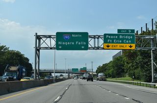
Interstate 190 in Niagara County passes through eastern reaches of the Niagara Falls city limits north into the town of Niagara. Paralleling NY 265 (Military Road), I-190 weaves northwest through a portion of Niagara Falls and by Reservoir State Park to the town of Lewiston. The freeway curves northwest from Niagara Power Reservoir to the Lewiston-Queenston Bridge connecting Upper Mountain Road (NY 954P) with King’s Highway 405 (General Brock Parkway) at Queenston, Ontario in Canada.
Interstate 190 New York Guides
North - Buffalo to Tonawanda - 64 photos
North - Grand Island to Niagara Falls - 53 photos
South - Niagara Falls to Grand Island - 52 photos
South - Tonawanda to Buffalo - 49 photos
Separate portions of the Niagara Section of the New York Thruway opened to traffic along Interstate 190 on July 30, 1959. A six mile segment extended northwest from I-90 to Porter Avenue near the Peace Bridge. Additionally a 1.5 mile segment was completed from Sheridan Drive north of Buffalo to the South Grand Island Bridge.1
 scenes
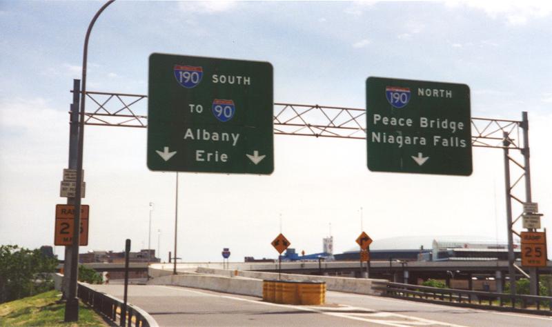
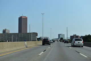
High speed flyovers connect Oak Street south with Interstate 190 by Sahlen Field (home of the Buffalo Bisons AAA Minor League Baseball team).
05/27/00
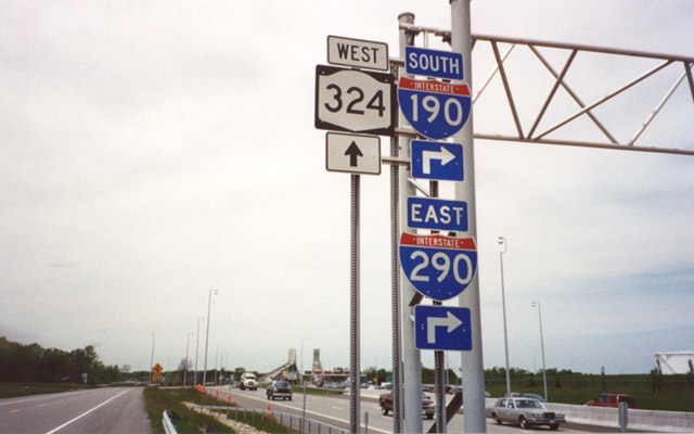
NY 324 westbound at the entrance ramp for I-190 south of the South Grand Island Bridge. NY 324 shares an implied overlap with I-190 across the Niagara River onto Grand Island Boulevard.
05/27/00
NY 324 north intersects NY 266 (River Road) below the South Grand Island Bridge. NY 266 parallels the Niagara River north into the city of Tonawanda.
05/27/00
References:
- "Buffalo Thruway Extension Opens." The Daily Messenger (Canandaigua, NY), July 30, 1959.
Photo Credits:
- Alex Nitzman: 05/27/00
Connect with:
Page Updated Thursday March 02, 2023.