
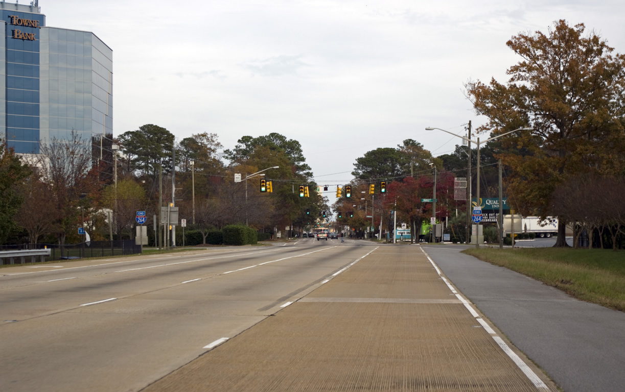
Interstate 264 East - Virginia Beach
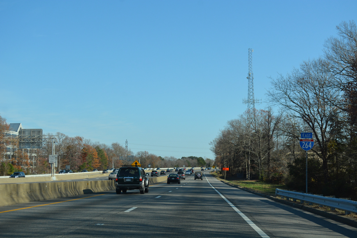
 East
East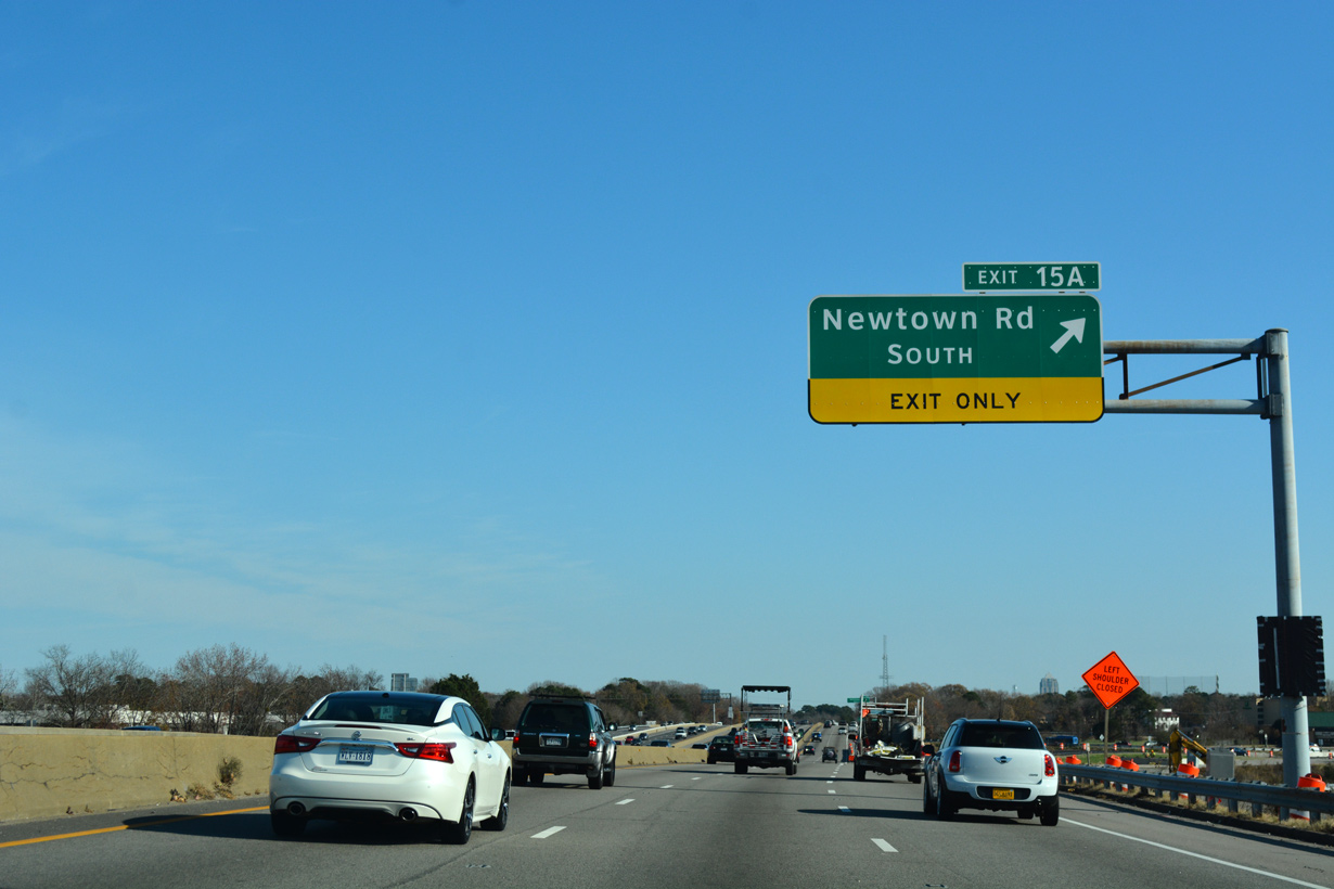
Completed in Fall 2019, Phase I of the I-64/I-264 Interchange Improvements Project realigned the c/d roadway from I-64 to Exit 15 with Newtown Road (SR 403). Newtown Road follows the Virginia Beach city line from the Elizabeth River Eastern Branch to Davis Corner.
12/14/17
12/14/17
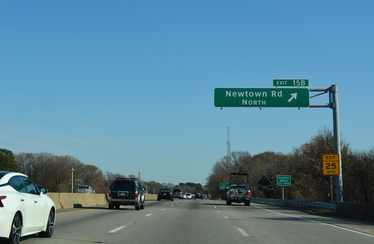
Phase II of the I-64/264 Interchange Improvements project from February 2018 to Fall 2021 replaces the loop ramp at Exit 15B for Newtown Road north to Fair Meadows and parallel U.S. 58 (Virginia Beach Boulevard).
12/14/17
12/14/17
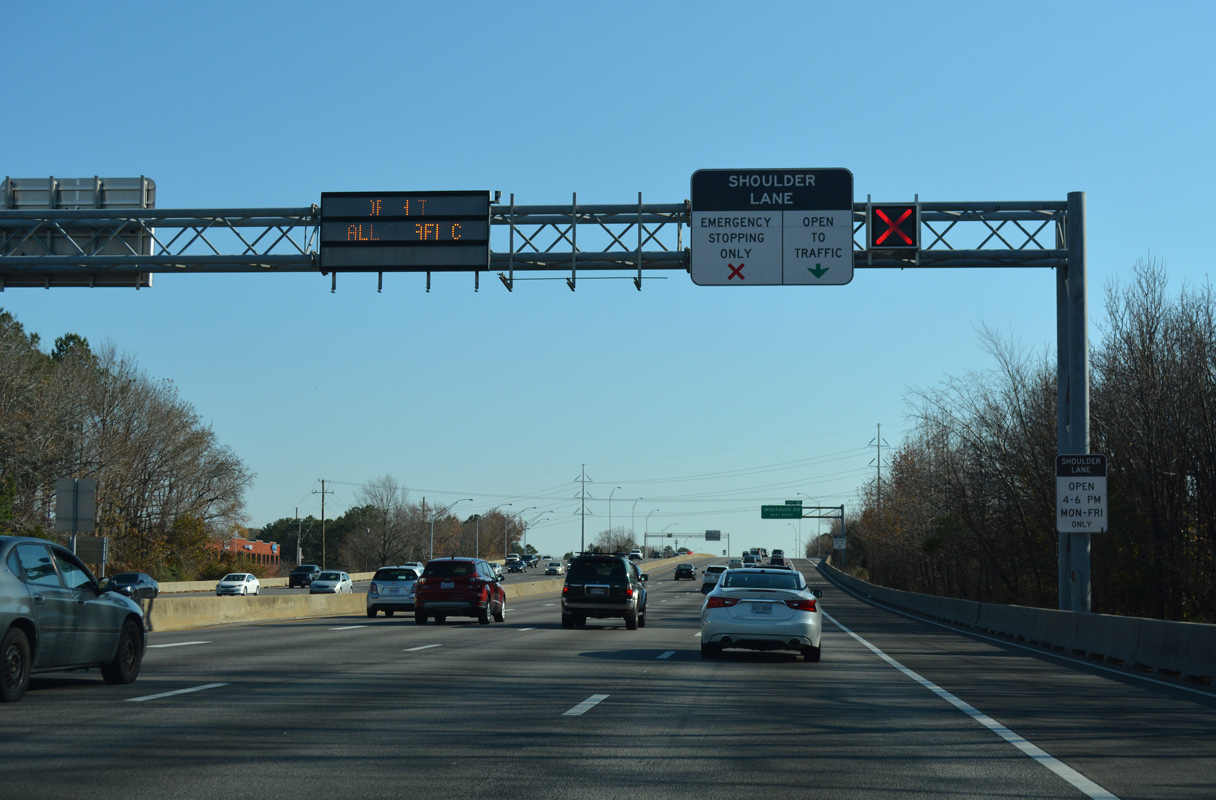
Phase II work extends the c/d roadway east from the exchange with Greenwich Road to Exit 16 for Witchduck Road.
12/14/17
12/14/17
Costing $194.5 million, Phase II construction for the I-64/264 Interchange Improvements Project rebuilt the parclo interchange (Exit 16) with Witchduck Road and added a new flyover for Greenwich Road connecting with Cleveland Street.2
12/14/17
12/14/17
12/14/17
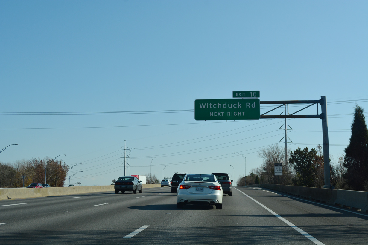
A new two lane exit ramp for Witchduck Road (SR 190) replaced a loop ramp further east.
12/14/17
12/14/17
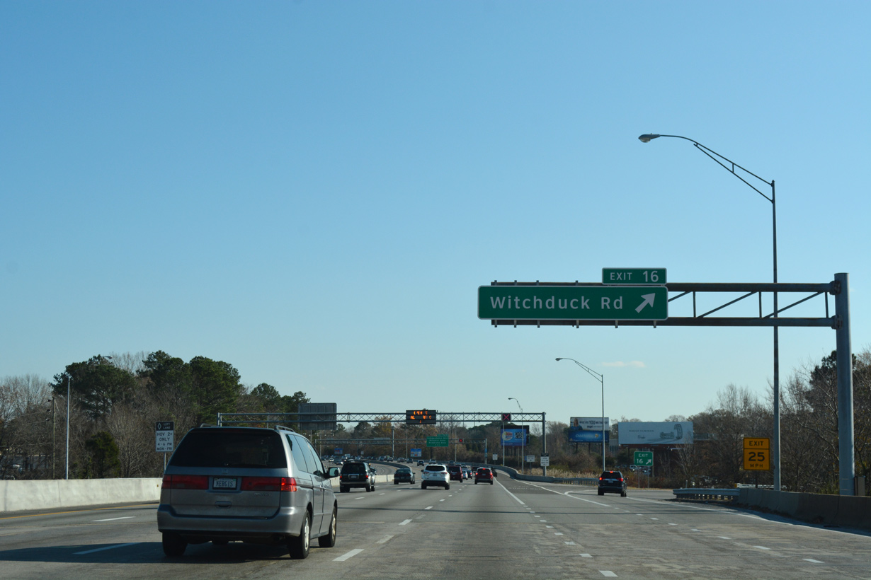
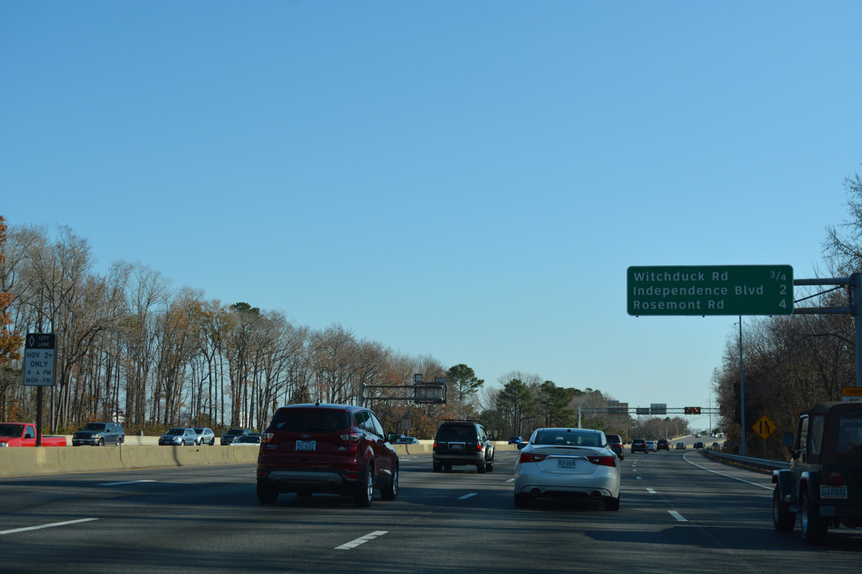
Unmarked on I-264, Witchduck Road is a part of SR 190 northeast to SR 225 (Independence Boulevard) and south to SR 165 (Princess Anne Road) at Kempsville Road. 15.43 miles long route, SR 190 encircles Norfolk through Virginia Beach and north Chesapeake.
12/14/17
12/14/17
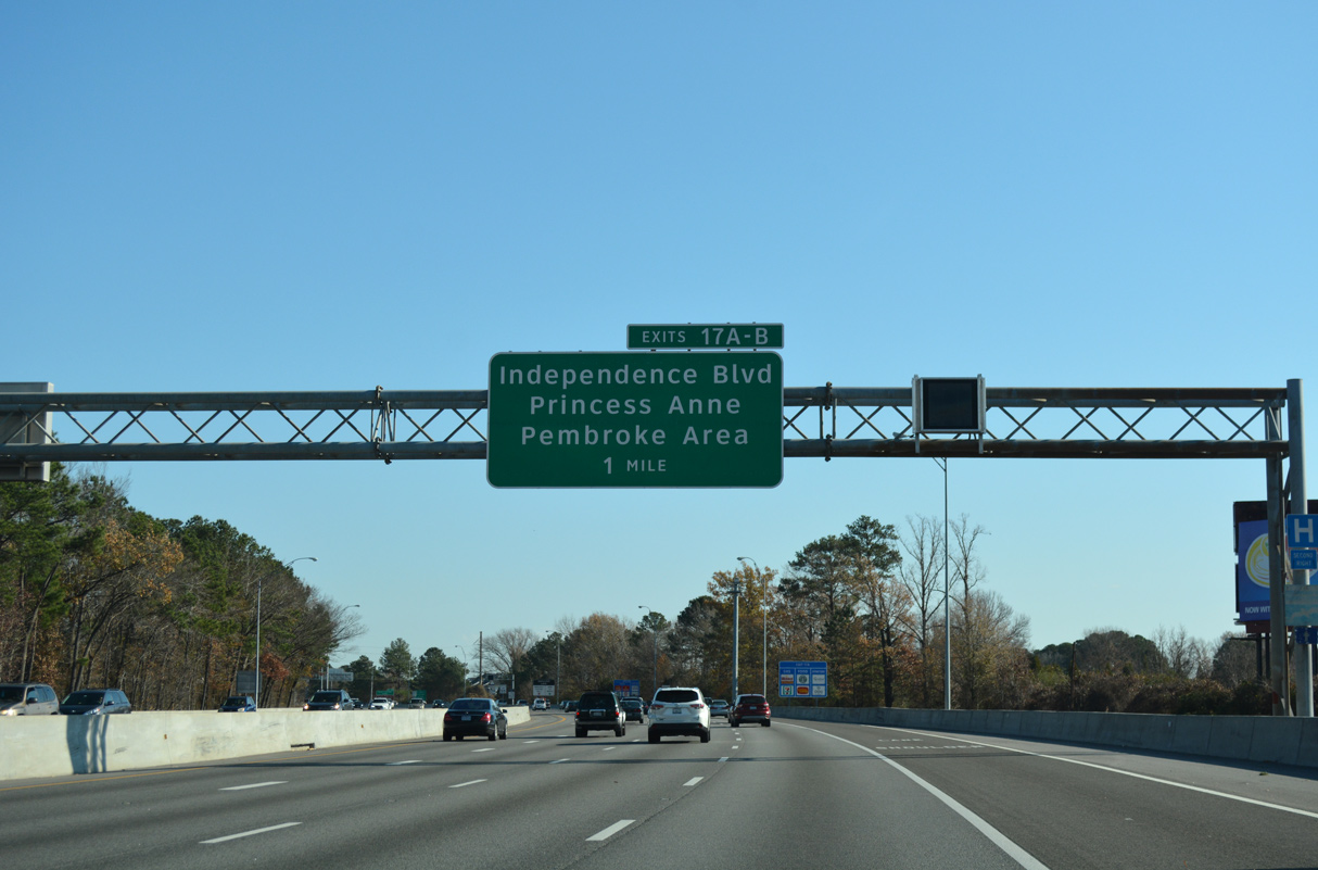
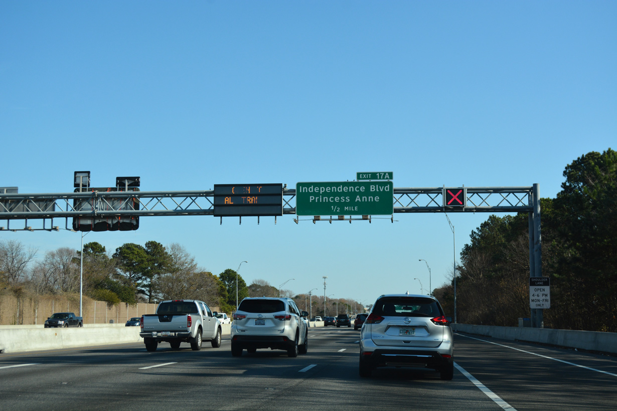
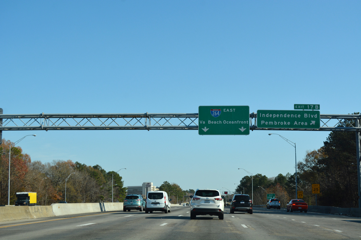
A cloverleaf interchange joins Interstate 264 with SR 225 (Independence Boulevard) at Exits 17A/B.
12/14/17
12/14/17
Independence Boulevard (SR 225) constitutes a 11.73 mile long loop south to Indian River Road (SR 407) and north to U.S. 60 (Shore Drive) at the Joint Expeditionary Base Little Creek - Fort Story Central.
12/14/17
12/14/17

Exit 17A includes a ramp to adjacent Alicia Drive and Baxter Road. Until 2001, Independence Boulevard south was also a part of unsigned SR 410 to Holland Road.1
12/14/17
12/14/17
12/14/17
12/14/17
12/14/17
12/14/17
12/14/17
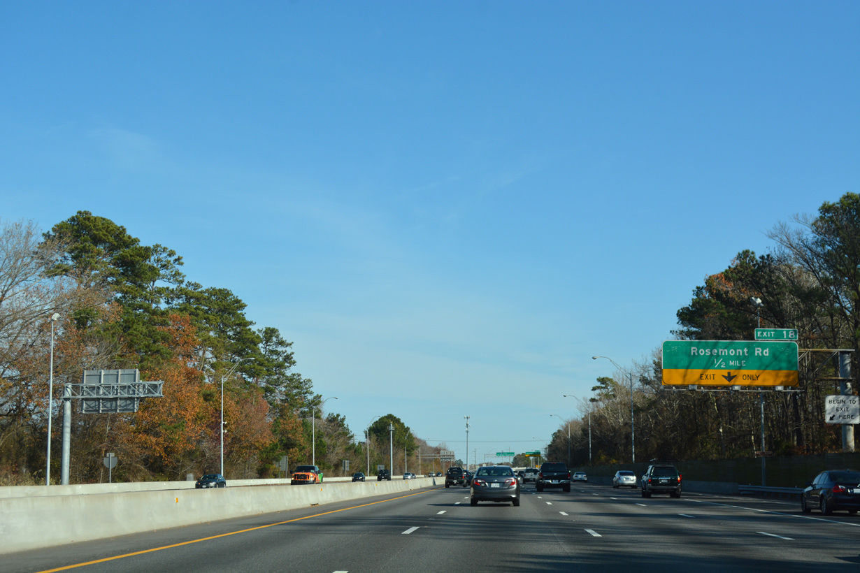
A six-ramp parclo interchange (Exit 18) joins I-264 with Rosemont Road (SR 411) at Princess Anne Plaza in Virginia Beach next.
12/14/17
12/14/17

An unsigned route, SR 411 follows Rosemont Road 3.98 miles north from Dam Neck Road at Landstown to adjacent U.S. 58 (Virginia Beach Boulevard).
12/14/17
12/14/17
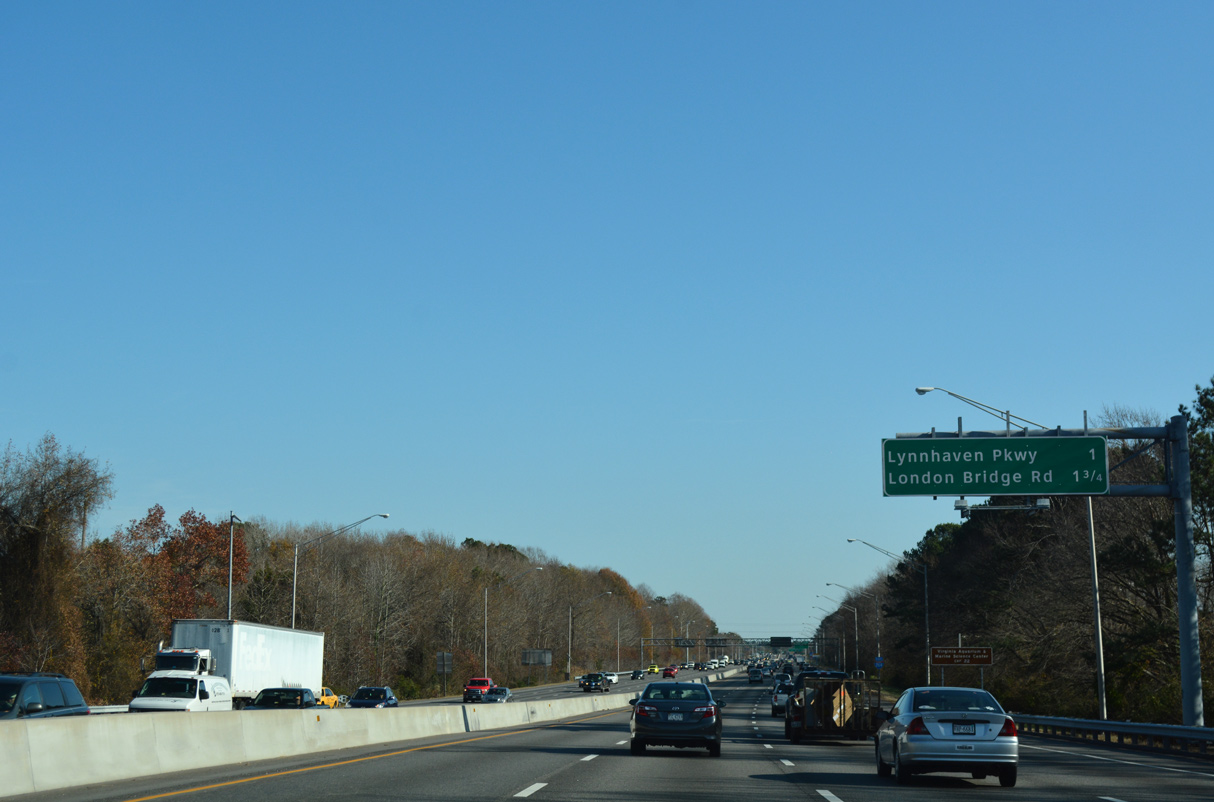
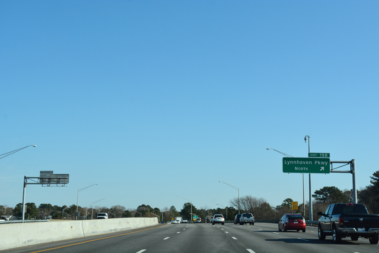
Lynnhaven Park (unsigned SR 414) meets Interstate 264 at a three quarter cloverleaf interchange (Exit 19) in one mile.
12/14/17
12/14/17
12/14/17
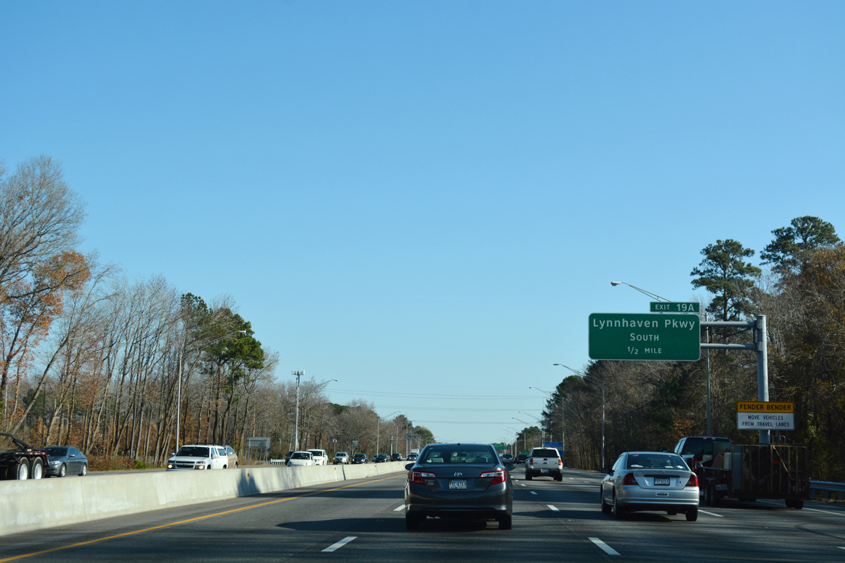
Lynnhaven Parkway stems south from U.S. 58 (Virginia Beach Boulevard) at Lynnhaven to Lynnhaven Mall.
12/14/17
12/14/17
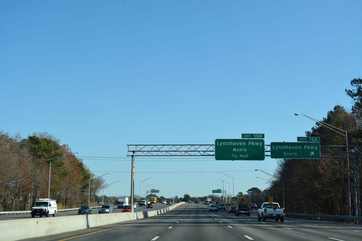
Unsigned SR 414 lines Lynnhaven Parkway southwest to Mapleton, Salem and the Chesapeake City line.
12/14/17
12/14/17
12/14/17
12/14/17
12/14/17
12/14/17
12/14/17
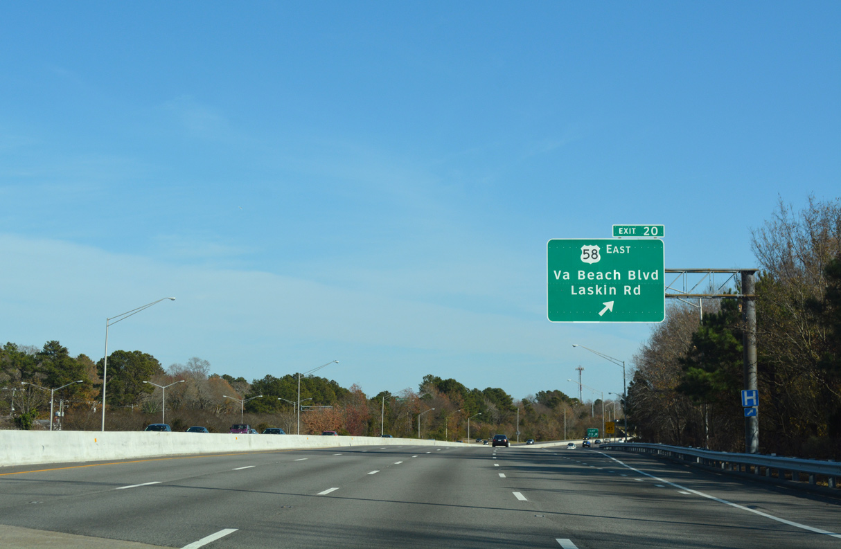
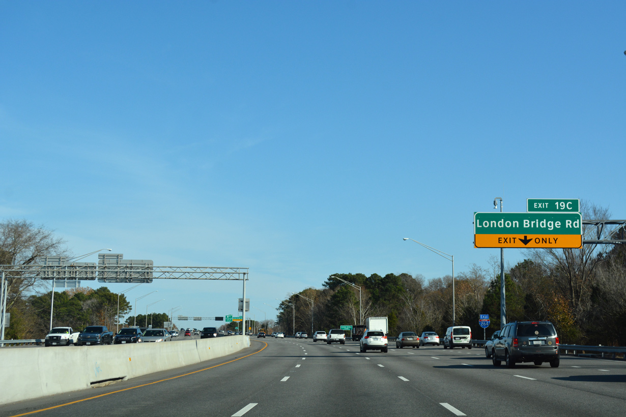
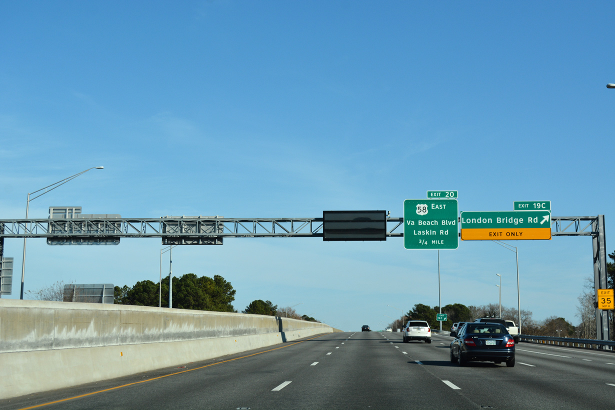
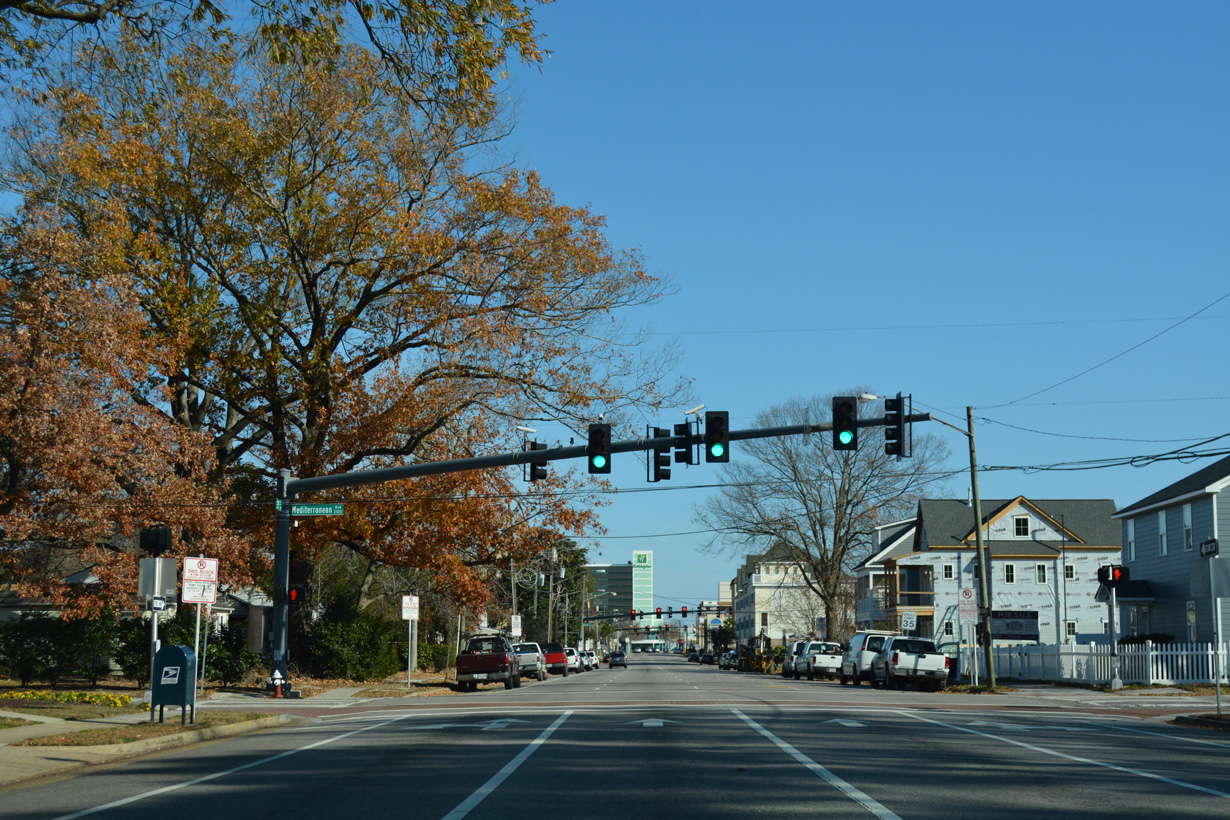
Adjacent U.S. 58 splits with U.S. 58 Business (Virginia Beach Boulevard) for Laskin Road. Exit 20 joins I-264 east with both routes.
12/14/17
12/14/17
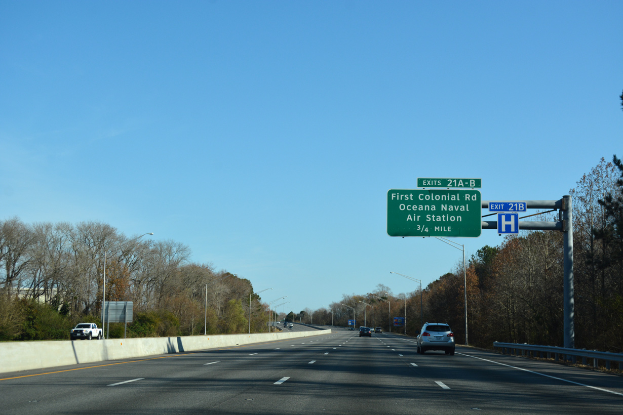
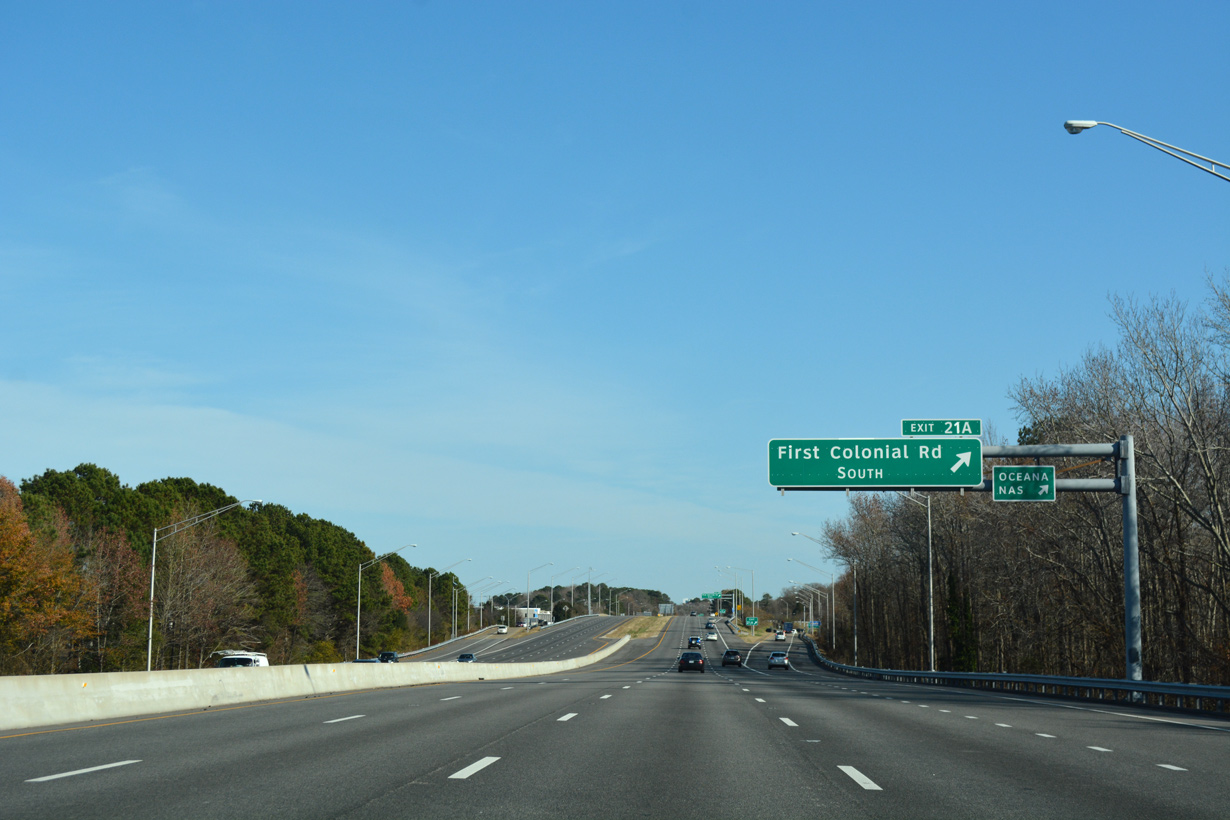
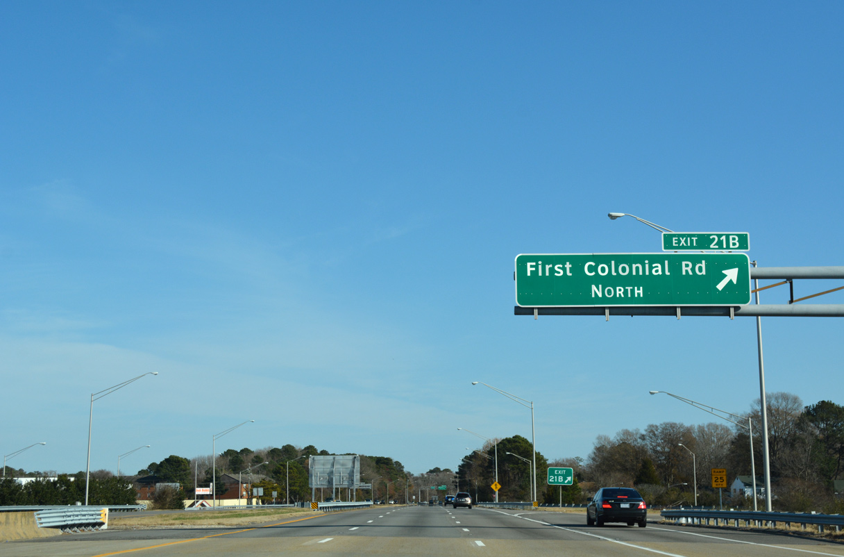
First Colonial Road (SR 408) branches 2.56 miles southeast from SR 279 (Great Neck Road) to U.S. 58 Business (Virginia Beach Boulevard) just south of Exit 21.
12/14/17
12/14/17
Oceana Boulevard extends the arterial south from First Colonial Boulevard along the east side of Naval Air Station Oceana to SR 149 (General Booth Boulevard).
12/14/17
12/14/17
12/14/17

Advancing east, Interstate 264 crosses Great Neck Creek ahead of a parclo interchange (Exit 22) with Birdneck Road.
12/14/17
12/14/17
12/14/17
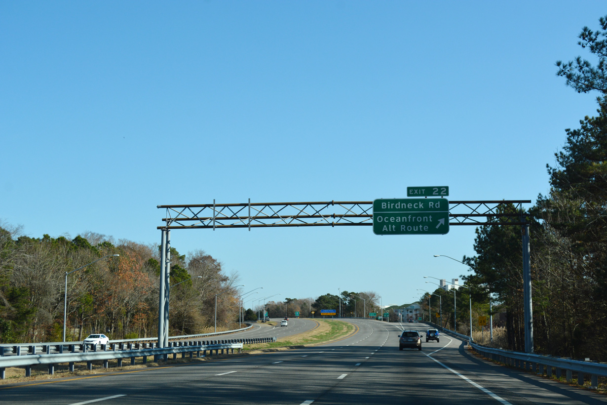
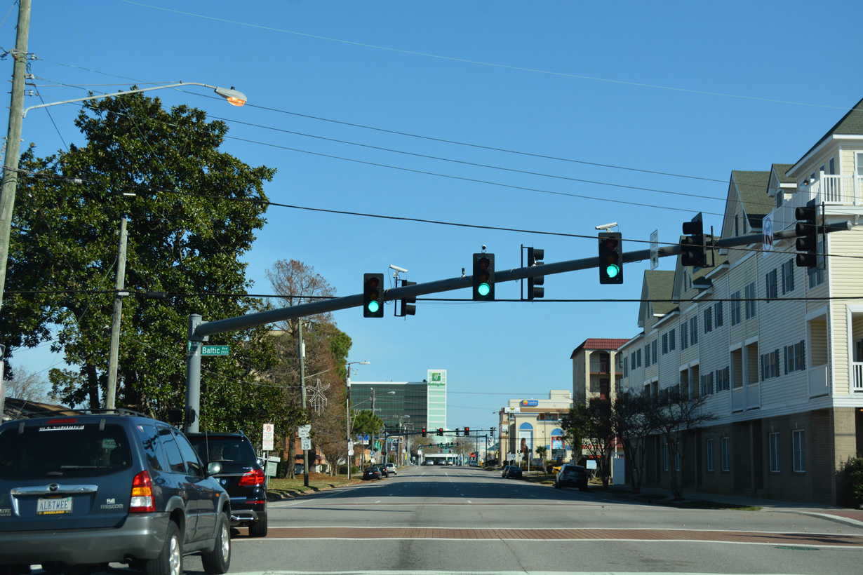
Birdneck Road leads south to U.S. 58 Business (Virginia Beach Boulevard) and Seatack and north to U.S. 58 (Laskin Road) near Bird Neck Point.
12/14/17
12/14/17
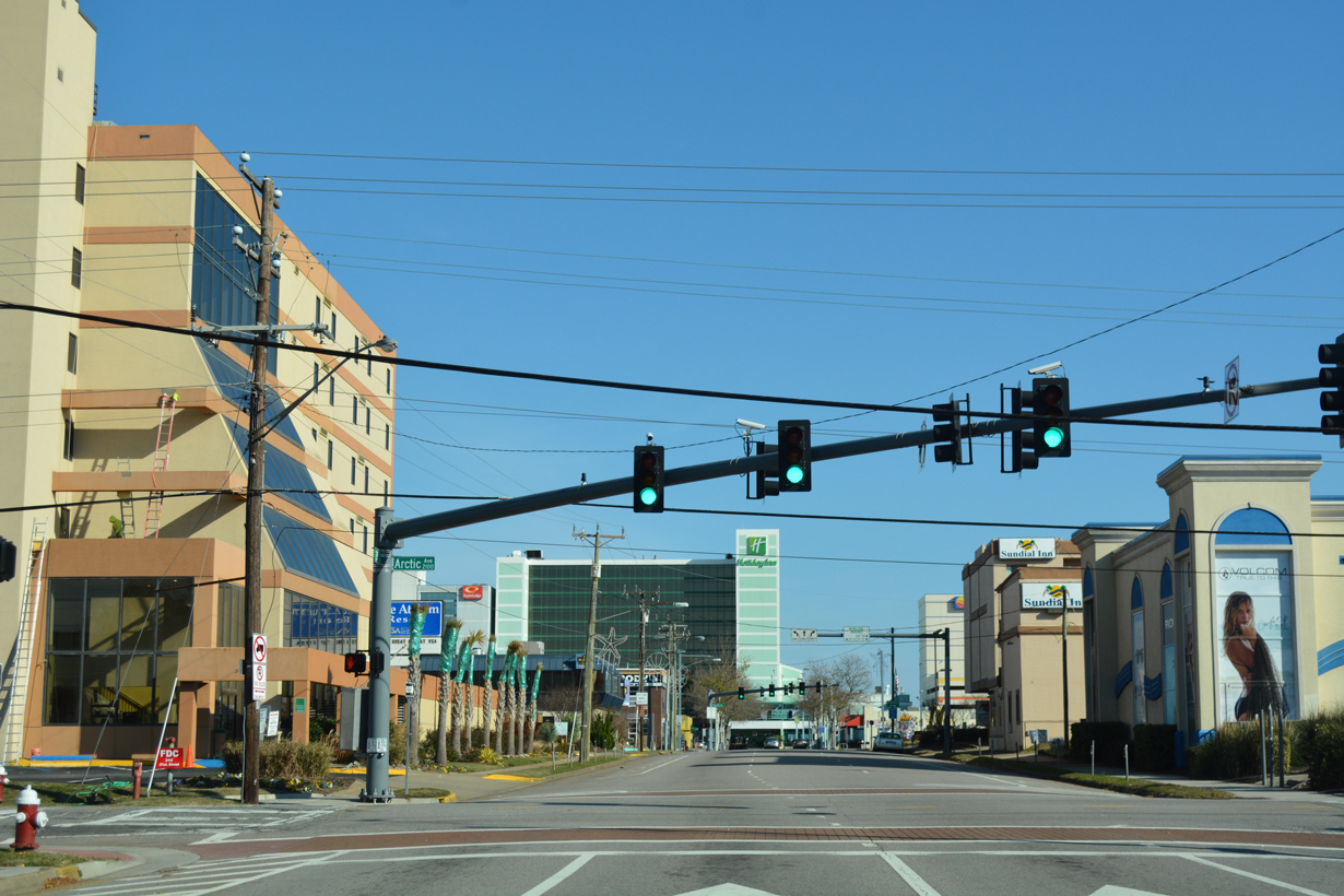
Interstate 264 transitions to 21st Street east to the Virginia Beach Oceanfront in a quarter mile.
12/14/17
12/14/17
12/14/17
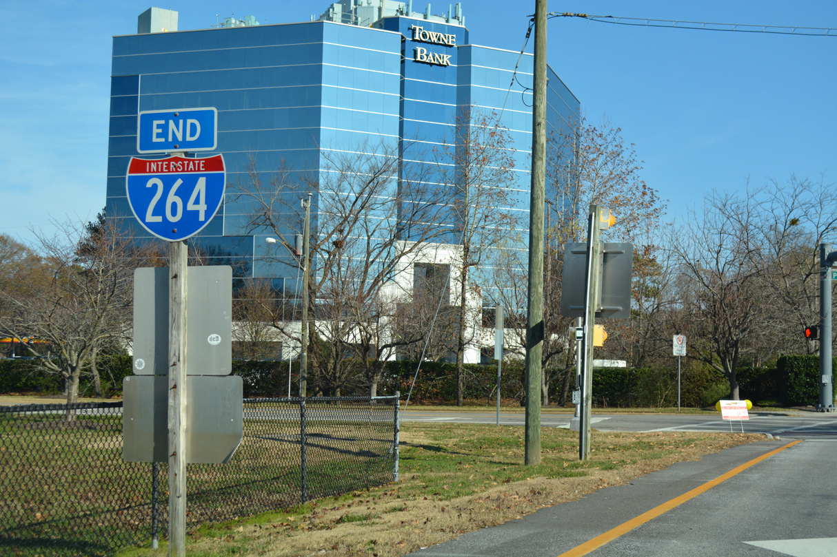
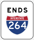
Interstate 264 ends at the intersection with Parks Avenue and 21st Street east, six blocks west of the Atlantic Ocean.
11/22/09
11/22/09
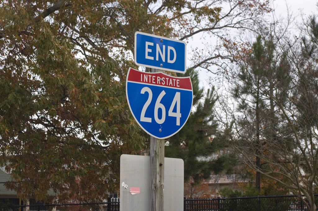
End shields appear along both sides at the intersection joining I-264 east with Parks Avenue. An SR 44 shield was posted with the I-264 assembly until at least November 29, 1999.3
11/22/09
11/22/09
21st Street extends five blocks (0.53 miles) east to U.S. 60 (Pacific Avenue).
12/14/17
12/14/17
21st Street - East
12/14/17
12/14/17
12/14/17
12/14/17
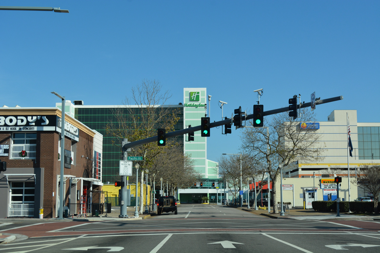
Although unmarked, U.S. 60 follows Pacific Avenue south from the Virginia Beach Oceanfront from the Rudee Inlet Bridge and north onto Atlantic Avenue.
12/14/17
12/14/17
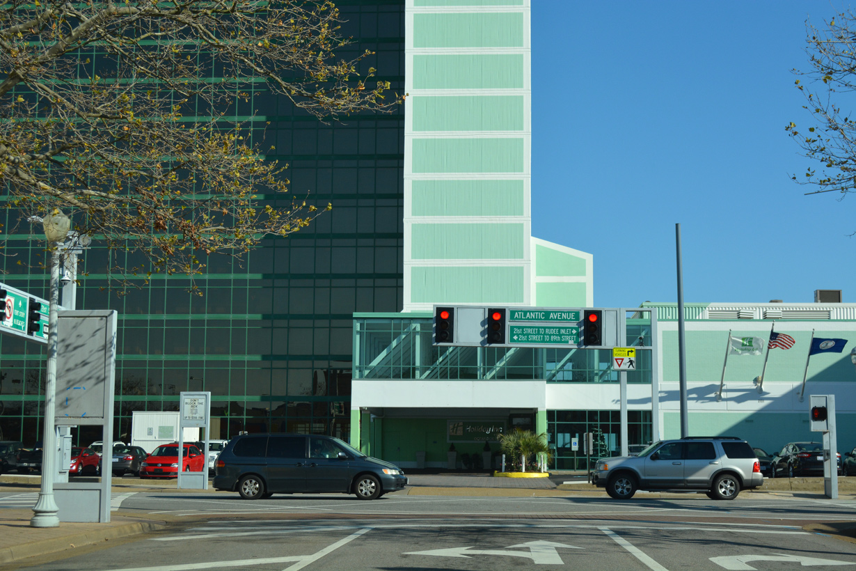
21st Street concludes at Atlantic Avenue, six blocks from the east end of Interstate 264.
12/14/17
12/14/17

References:
- VA 401 to 420. Virginia Highways Page.
- I-64/I-264 Interchange Improvements: Phase 2. Virginia Department of Transportation (VDOT), project web site.
- VA 221 to 240. Virginia Highways Page.
- Froehlig, Adam
Photo Credits:
- ABRoads: 12/14/17
- Will Weaver: 11/22/09
Connect with:
Page Updated Thursday April 08, 2021.