
Interstate 435 Outer - Kansas to Claycomo

 East
East
11/03/16
11/03/16
11/03/16
11/03/16
11/03/16
11/03/16
11/03/16
11/03/16
11/03/16
11/03/16
11/03/16
11/03/16
11/03/16
11/03/16
11/03/16
North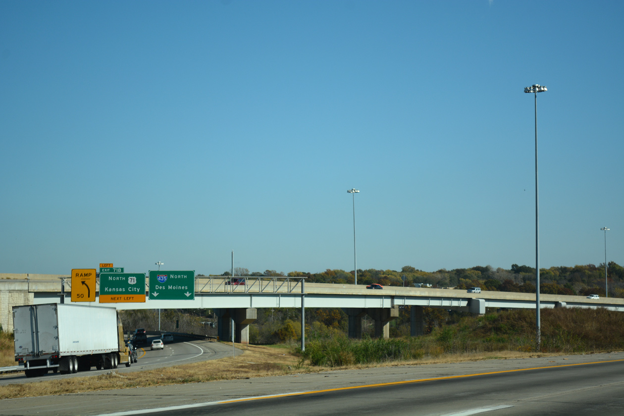
11/03/16
11/03/16
11/03/16
11/03/16
11/03/16
11/03/16
11/03/16
11/03/16
11/03/16
11/03/16
11/03/16
11/03/16
11/03/16
11/03/16

11/03/16
11/03/16
11/03/16
11/03/16
11/03/16
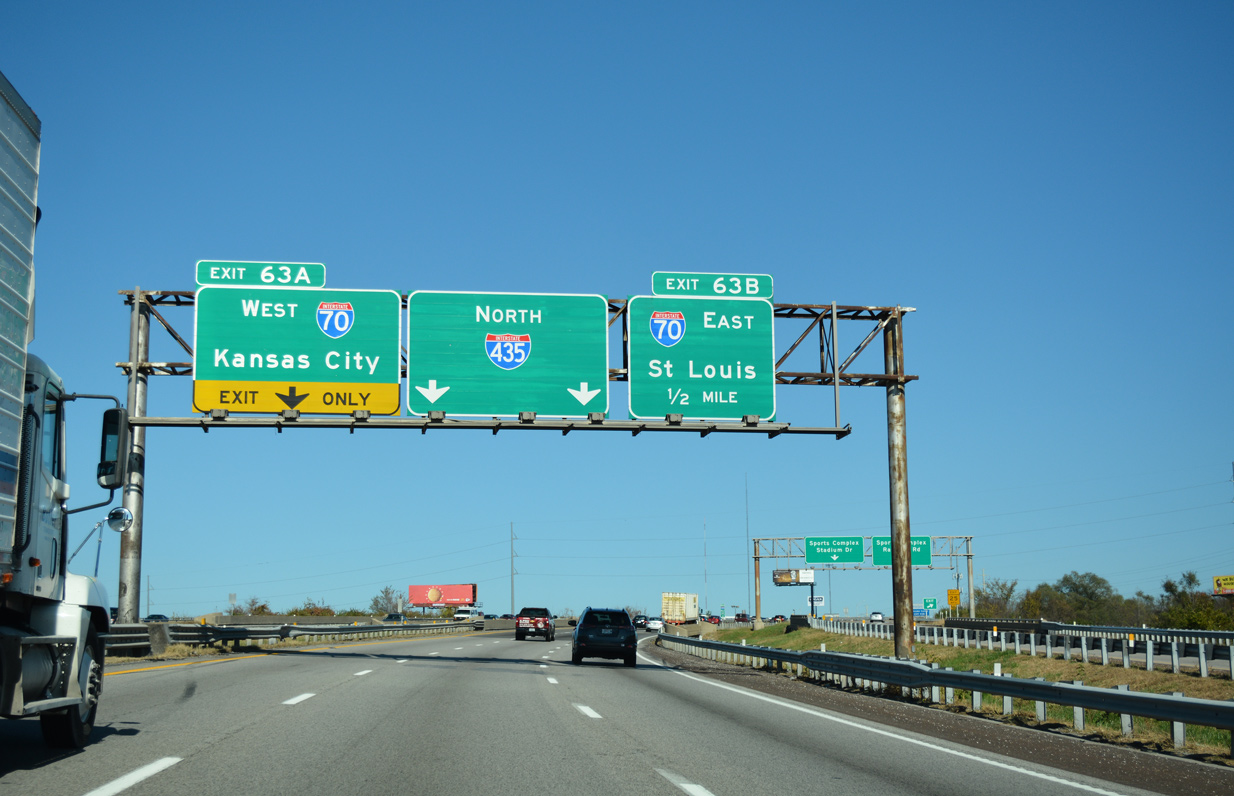
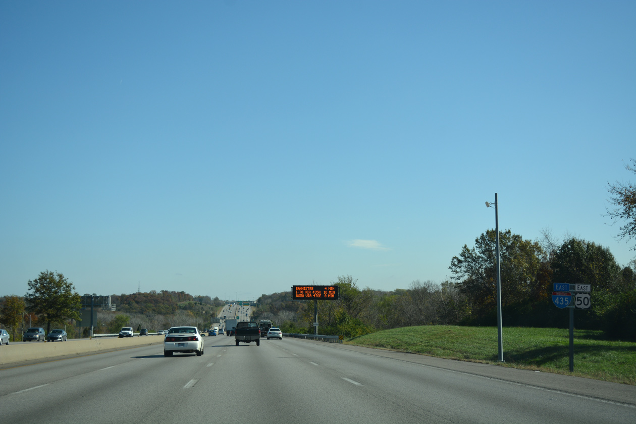
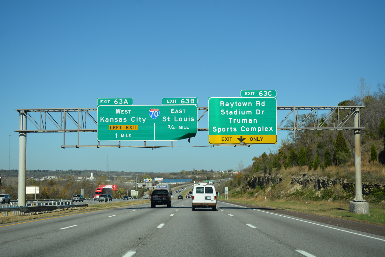
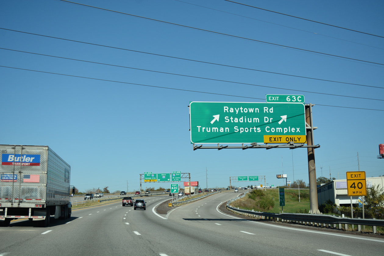
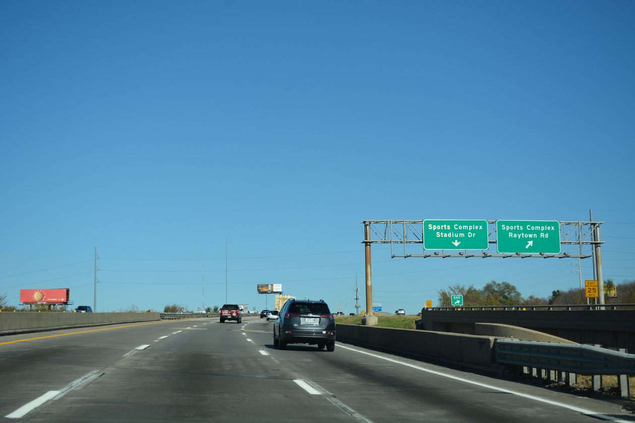
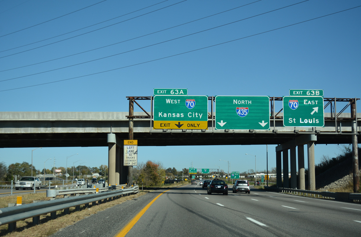
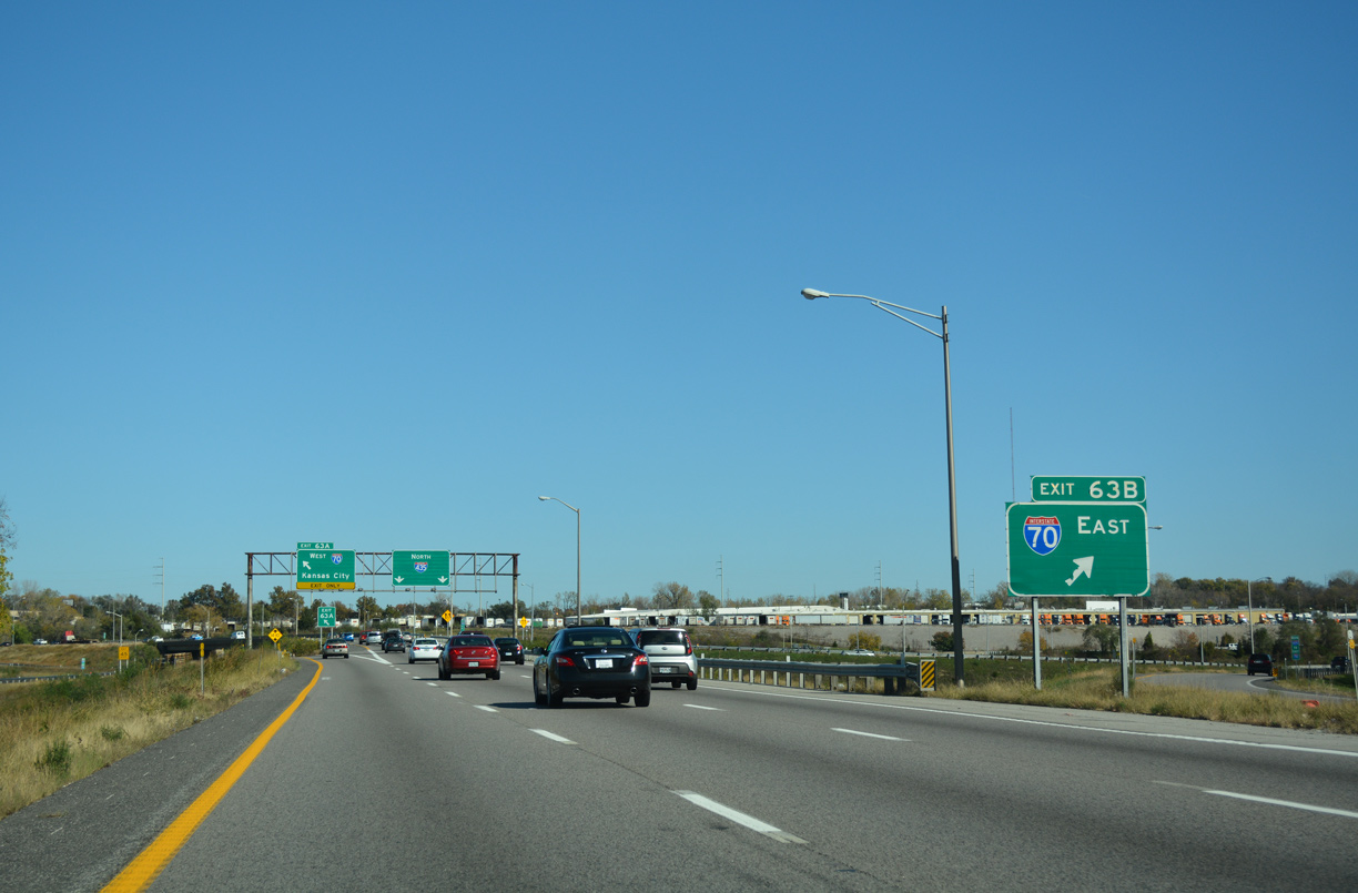
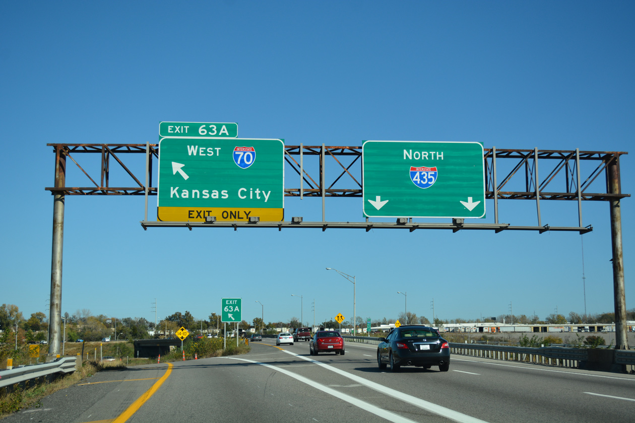
Eliminating left exit ramps, construction from Spring 2019 to October 2020 rebuilt the cloverstack interchange joining I-435/70 into a partial turbine interchange.
11/03/16
11/03/16
11/03/16
11/03/16
11/03/16
11/03/16
North  East
East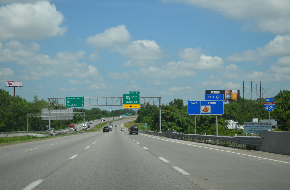
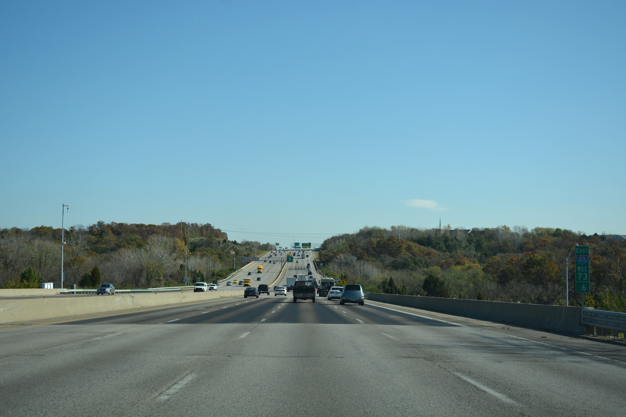
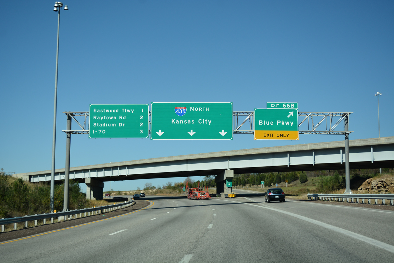
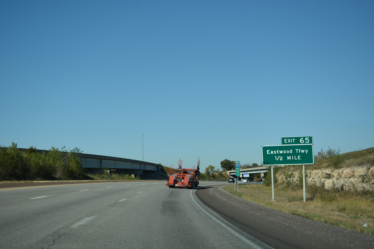
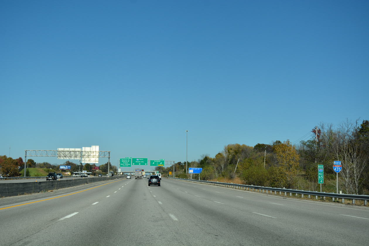
Leading away from the exchange with I-70 and U.S. 40, I-435/U.S. 24 shifts westward alongside a quarry.
06/19/15
06/19/15
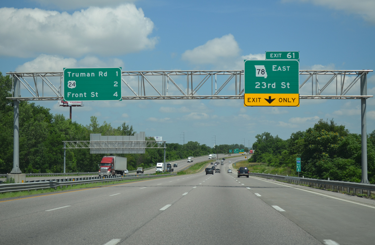
The entrance ramps from I-70 west and U.S. 40 form a northbound auxiliary lane to the diamond interchange (Exit 61) with Route 78 (23rd Street). The next three exits serve the city of Independence.
06/19/15
06/19/15
Route 78 originates at the Blue River just west of Exit 61 in the Blue Valley Industrial area. The 12.13 mile long highway follows 23rd Street across Independence to Route 291 before branching northeast to Route 7 and the entrance to Lake City Army Ammunition Plant.
06/19/15
06/19/15
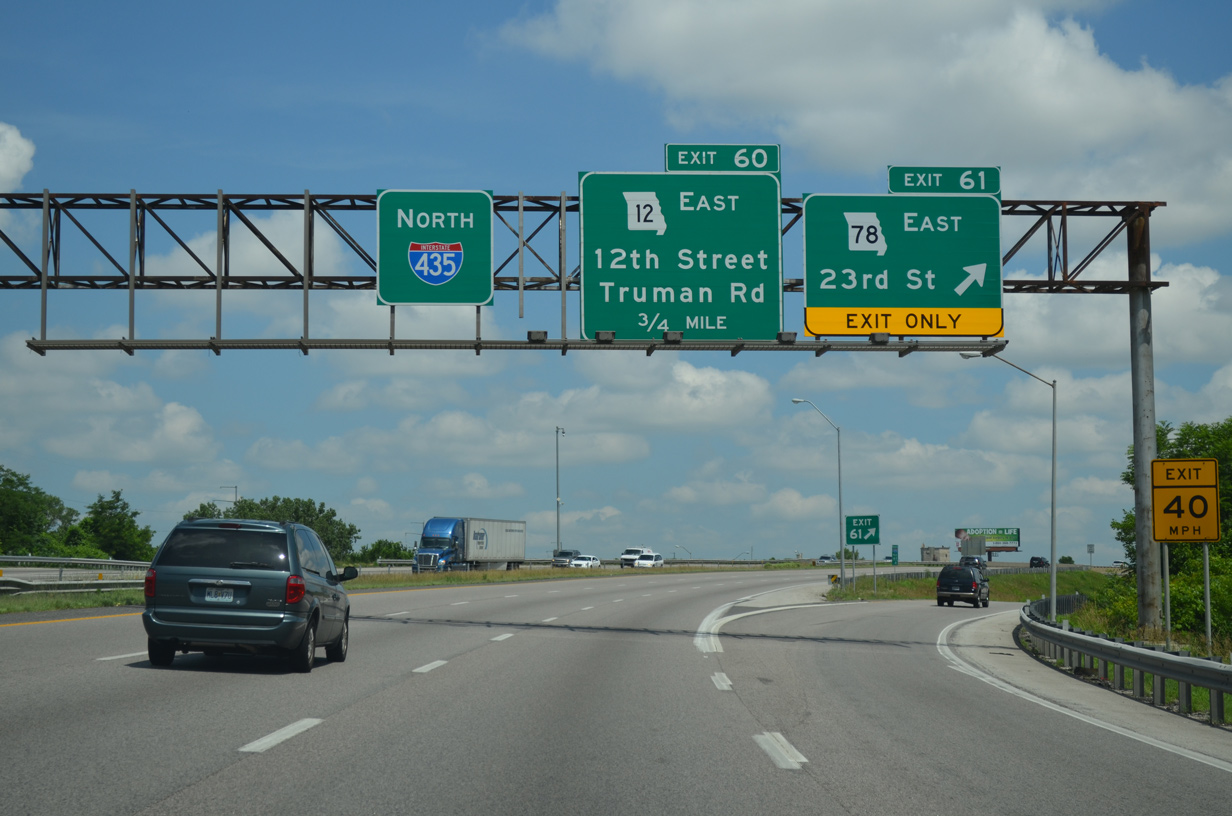
An S-curve takes I-435 northbound to the modified diamond interchange (Exit 60) with Route 12 (Truman Road) and 12th Street.
06/19/15
06/19/15
Truman Road extends west from Exit 60 and Route 12 to the Blue Valley neighborhood of Kansas City en route to Downtown. Independence Avenue (former U.S. 24) parallels the boulevard to the north by the Sheffield and Lykins communities.
06/19/15
06/19/15
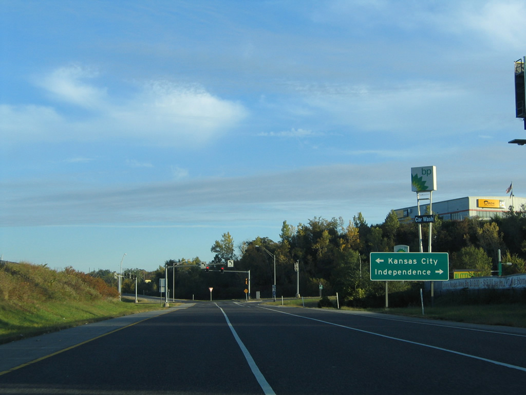
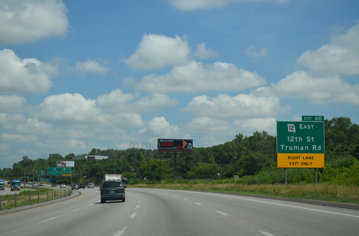
Exit 60 expands to three lanes ahead of Route 12 east and Truman Road. 12th Street spurs west from nearby to the Blue Valley Industrial area.
10/17/04
10/17/04
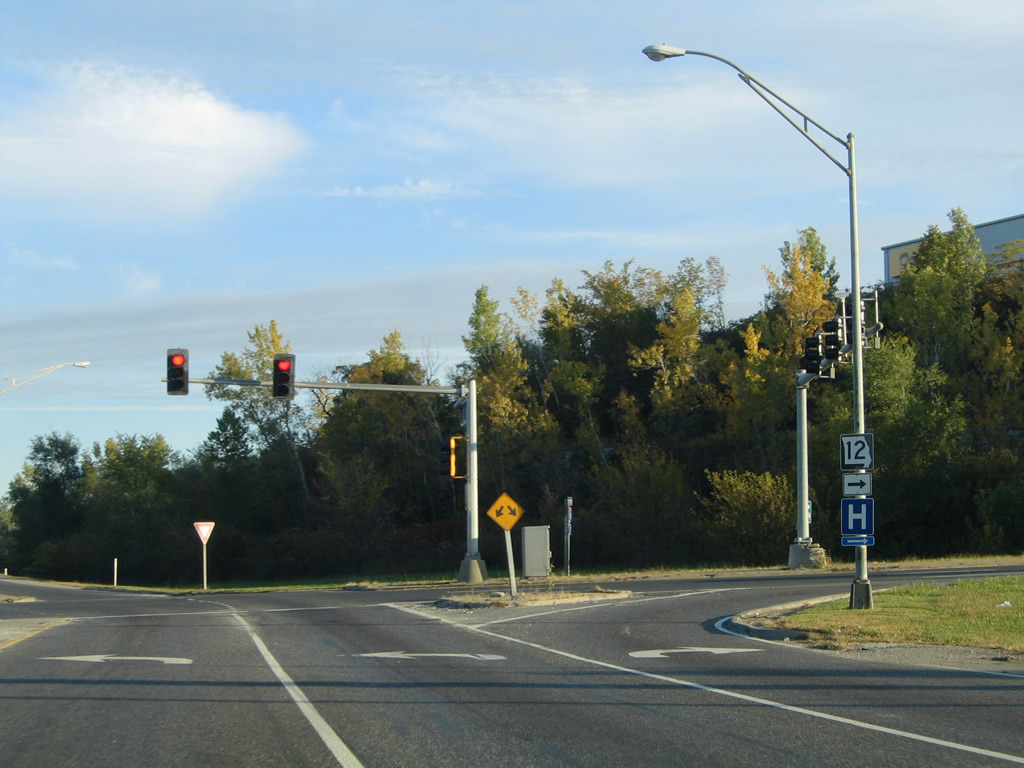
Route 12 travels just 3.79 miles along Truman Road east from the beltway to Spring Street in Independence.
10/17/04
10/17/04
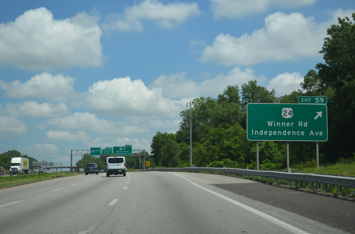
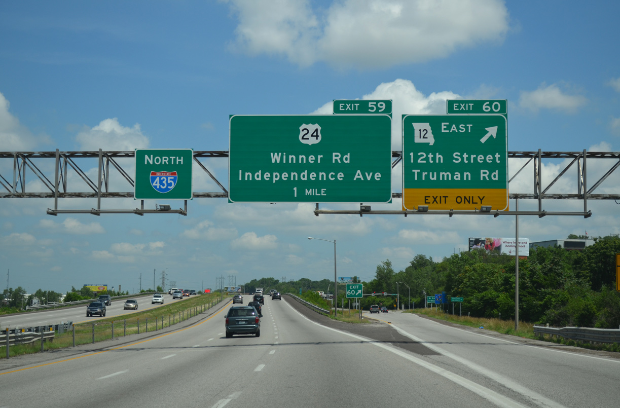
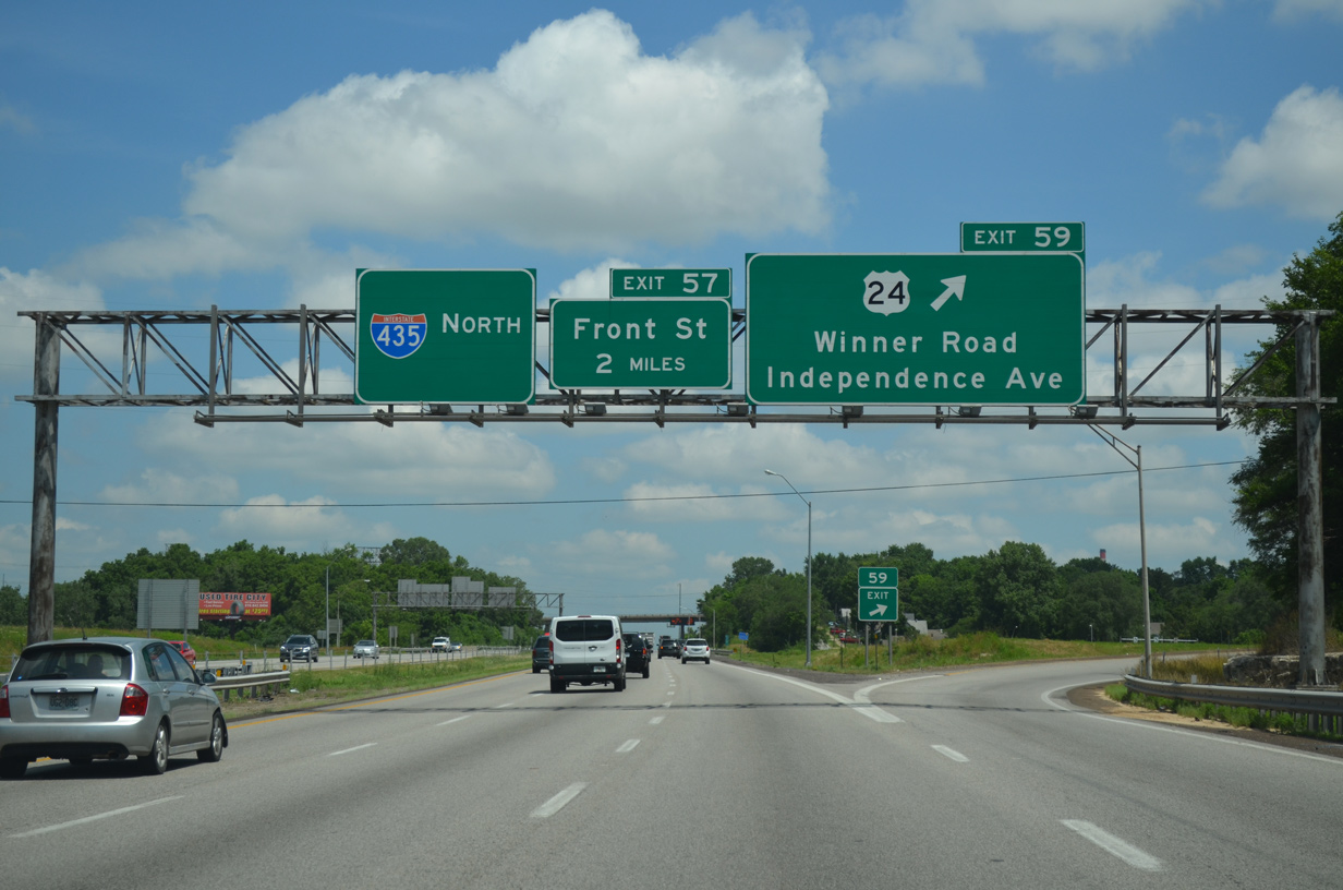
Continuing north, U.S. 24 east parts ways with I-435 at the folded diamond interchange (Exit 59) with Winner Road at North Blue Ridge in Kansas City.
06/19/15
06/19/15
U.S. 24 follows Winner Road east to the Route 291 expressway in Independence. The route west along Independence Avenue to the Alphabet Loop (I-35/70) at Pendleton Heights in Kansas City was decommissioned in Fall 2018.
06/19/15
06/19/15
North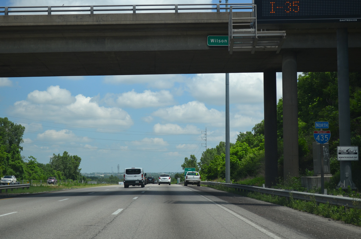
Wilson Avenue spans Interstate 435 north at the Athol and North Blue Ridge communities.
06/19/15
06/19/15
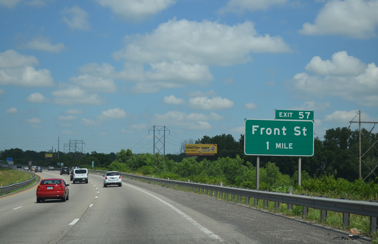
Interstate 435 angles northwest across a series of bridges spanning the BNSF, KCT and Union Pacific Railroads and the Blue River to Exit 57 for Front Street.
06/19/15
06/19/15
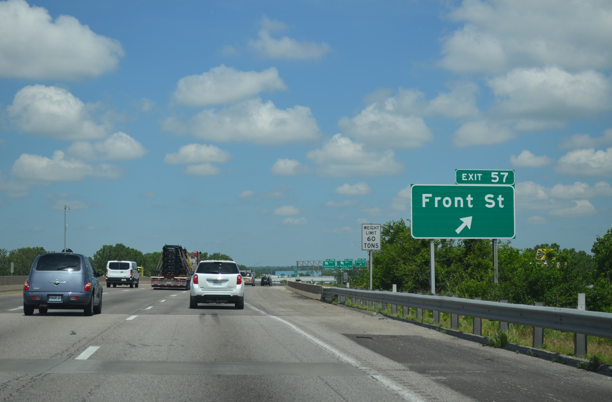
Exit 57 departs from the beltway north for Front Street east to the KCP&L Hawthorn Generating Station and west to the Northeast Industrial District and Riverfront Park.
06/19/15
06/19/15
Construction in 2013 converted Exit 57 into a diverging diamond interchange (DDI). North from Front Street, I-435 advances to the industrial city of Randolph and Route 210 at Exit 55.
06/19/15
06/19/15

Confirming marker posted for I-435 north ahead Levee Road and the Missouri River. $32 million in road work underway from Spring 2020 to December 1, 2021 replaced the deck of the Missouri River bridge. Work on the span also included substructure repairs and the reinforcement of structural steel girders.1
06/19/15
06/19/15
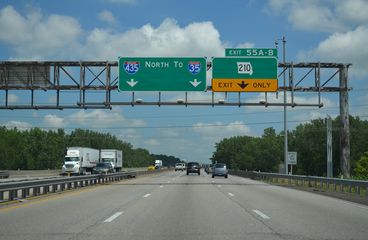
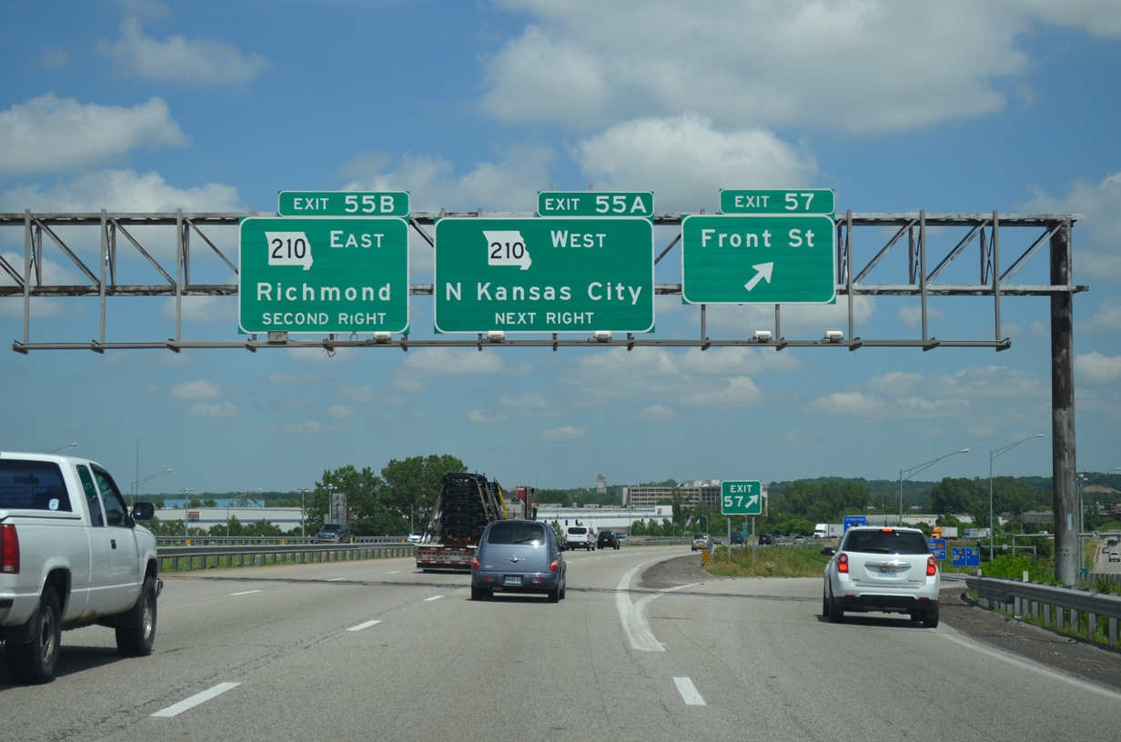
The flyover (Exit 55A) connecting I-435 north with Route 210 west permanently closed on February 28, 2018.2 Route 210 parallels the Missouri River west as a freeway to the Chouteau Estates community in Kansas City and Walker Road in North Kansas City.
06/19/15
06/19/15
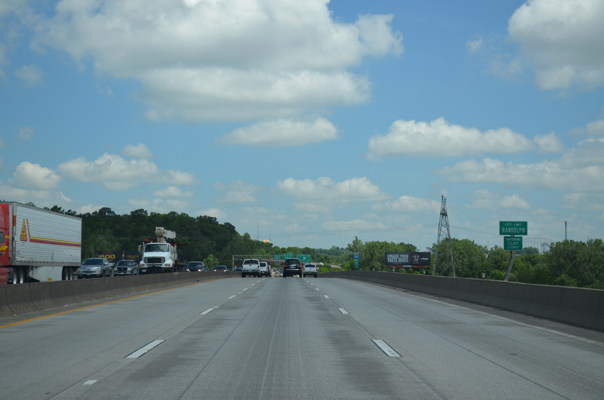
Built in 1972, the I-435 bridge across the Missouri River was restriped to accommodate six lanes in place of inside or outside shoulders. The river marks the Clay County line.
06/19/15
06/19/15
Highway 210 concludes a 33.62 miles route west at Armour Road and I-29-35/U.S. 71 in North Kansas City. The state highway bypasses Randolph to the north along an expressway east to the Ameristar Casino entrance.
06/19/15
06/19/15
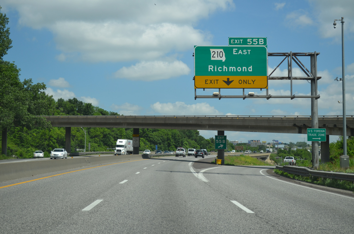
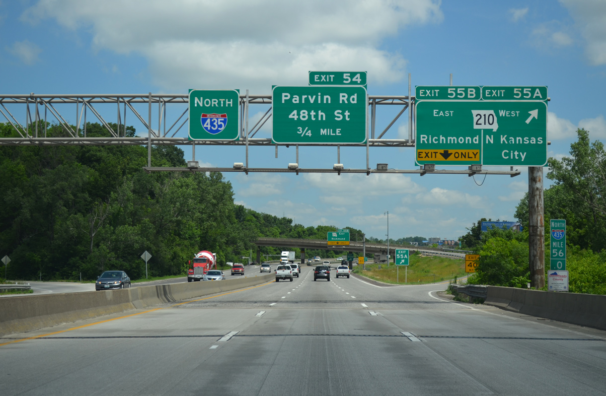
Construction from Fall 2016 to September 2019 rebuilt the diamond interchange at Exit 55B into a DDI.2 Route 210 runs east to Riverbend, Missouri City, Orrick and Route 10 outside of the Ray County seat of Richmond.
06/19/15
06/19/15
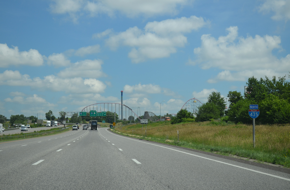
Interstate 435 reenters Kansas City ahead of the split diamond interchange (Exit 54) with Parvin Road, Worlds of Fun Drive and 48th Street.
06/19/15
06/19/15
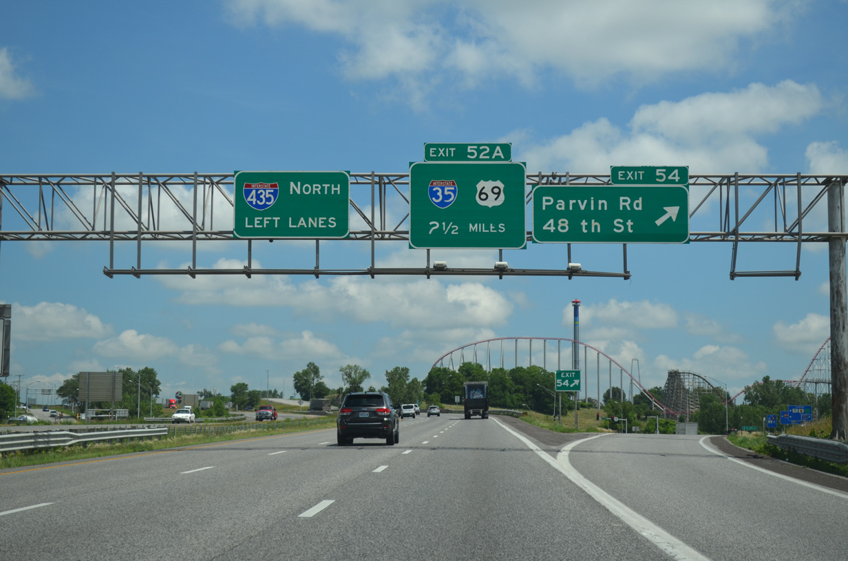
I-435 crosses paths with its parent route in 2.5 miles as Exit 54 parts ways with the beltway north. Parvin Road leads west to and east to Great Midwest Industrial Park. 48th Street connects the freeway with the Gracemor-Randolph Corners and Maple Park suburbs.
06/19/15
06/19/15
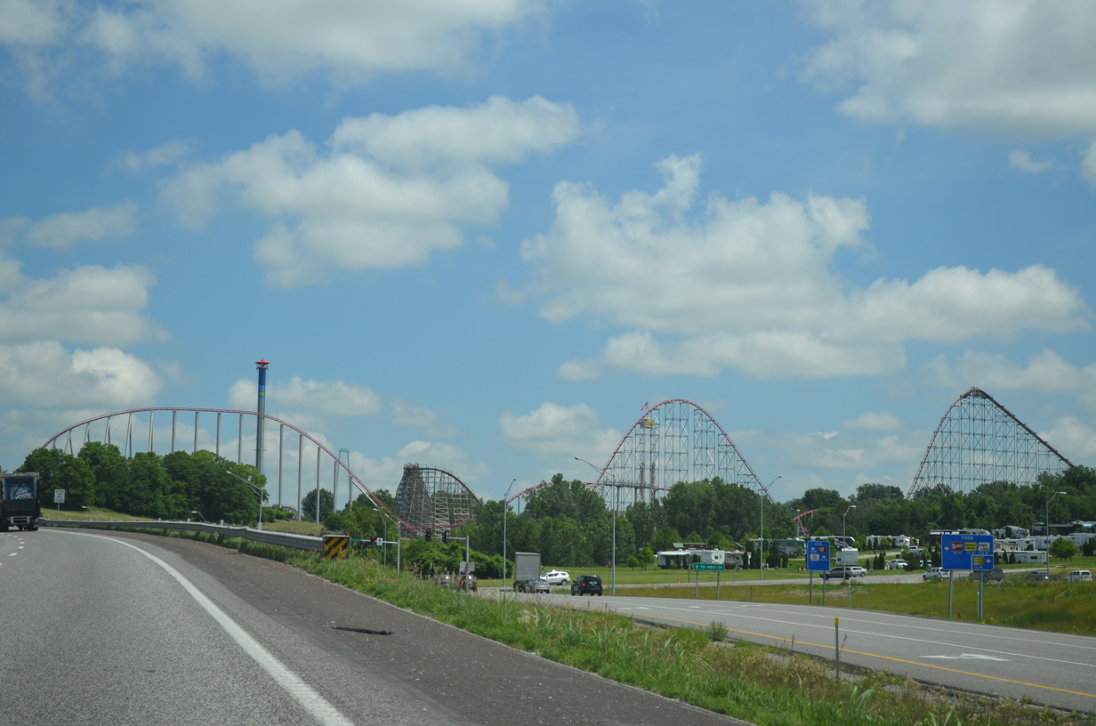
Worlds of Fun theme park lies just east of Interstate 435 between Parvin Road and 48th Street.
06/19/15
06/19/15
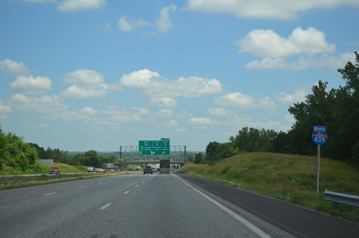
Interstate 435 maintains six overall lanes to Exits 52A/B with U.S. 69 and I-35.
06/19/15
06/19/15
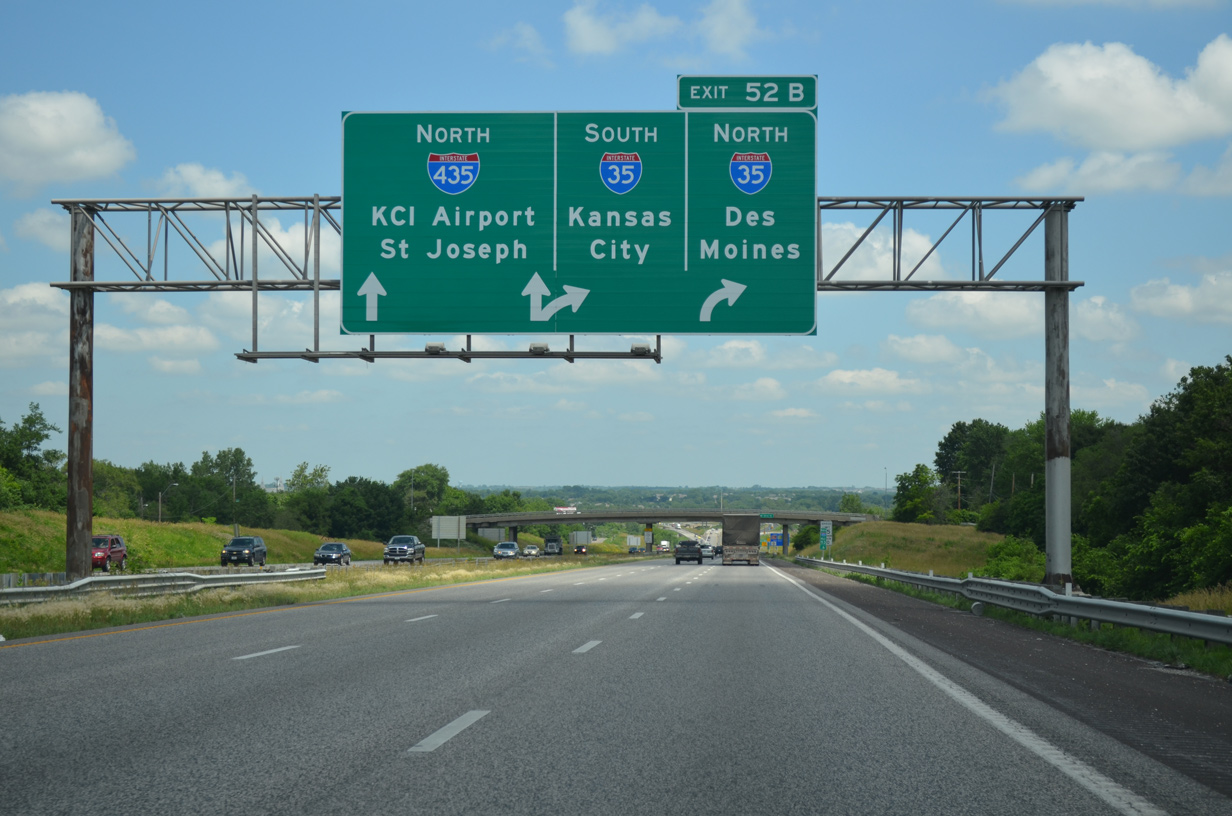
A directional T interchange connects Interstate 435 north with I-35 leading southwest to Ravenwood-Somerset and Glenhaven in Kansas City and I-35 north to Cameron and Des Moines, Iowa.
06/19/15
06/19/15
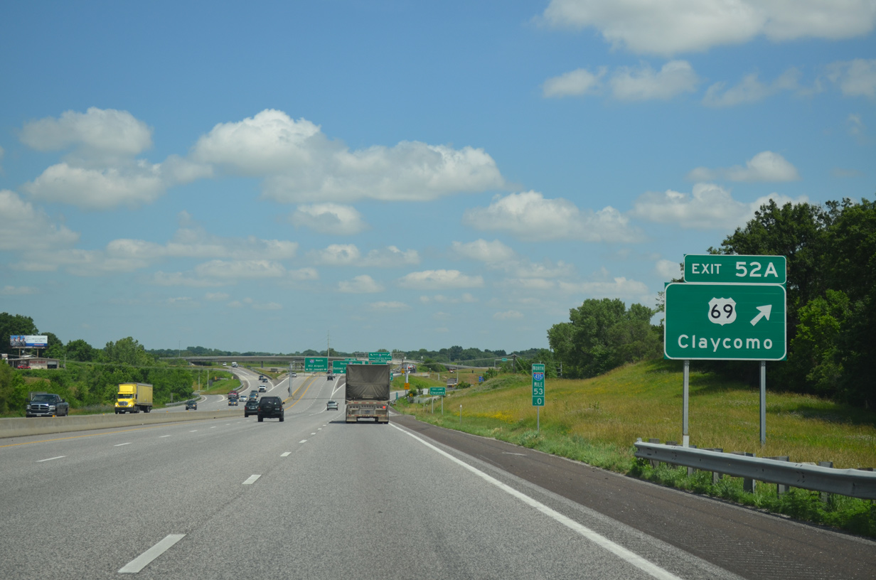
Ramps from the diamond interchange (Exit 52A) with U.S. 69 mix in with those connecting I-35 and I-435. U.S. 69 parallels I-35 just to the south through Claycomo to the Ford Kansas City Assembly Plant and Pleasant Valley.
06/19/15
06/19/15
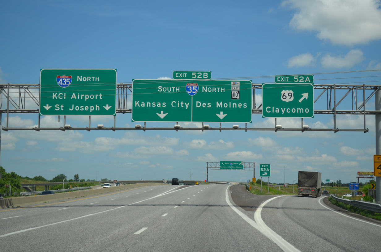
Exits 52A and 52B depart from I-435 north simultaneously as the beltway reduces to four overall lanes. U.S. 69 combines with I-35 north through Liberty. Route 110 (Chicago-Kansas City Expressway) also overlaps with I-35 north from I-435.
06/19/15
06/19/15
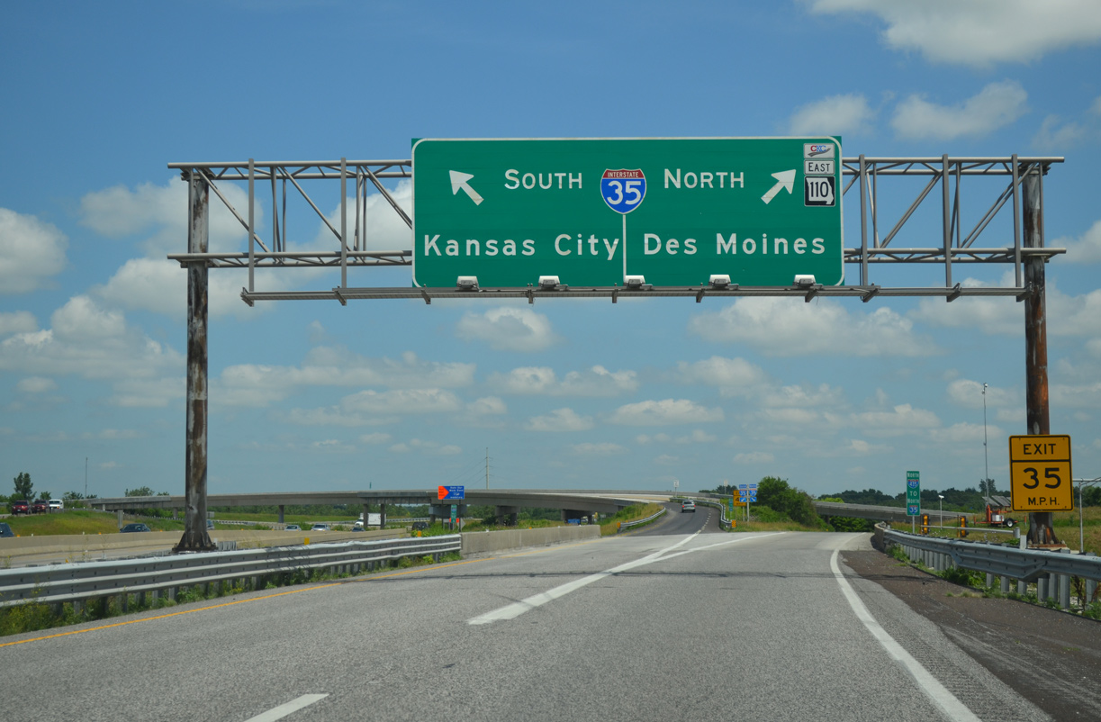
Designated in 2010 and abbreviated as the CKC, Route 110 forms a multi state highway along I-35 north to Cameron and U.S. 36 east across the state to I-72 at Hannibal. Together with IL 110, the CKC provides an alternate route to I-55 and I-70 to Chicago.
06/19/15
06/19/15
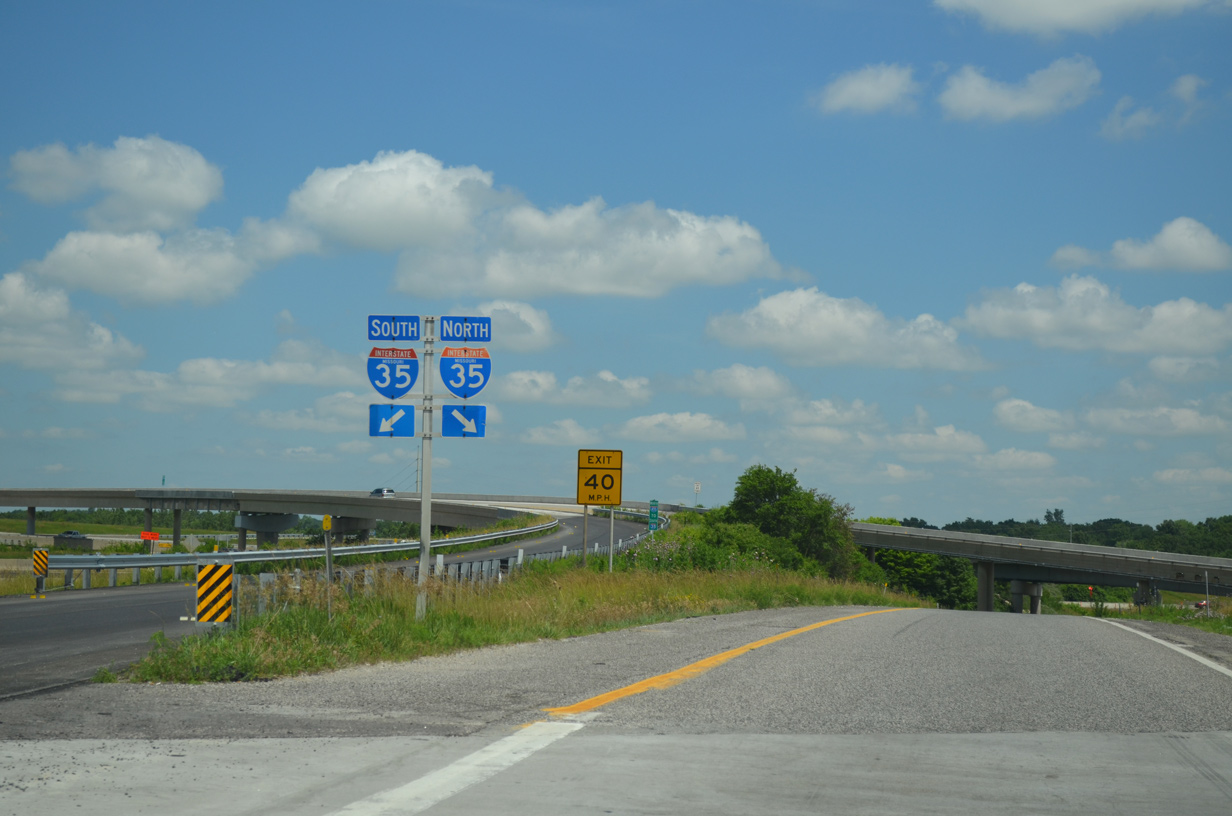
Traffic partitions for Interstate 35 south to North Kansas City and north to Kearney at the original north end of I-435.
06/19/15
06/19/15

References:
- I-435 Bridge Over the Missouri River. Missouri Department of Transportation. project web page. Accessed on October 18, 2021.
- I-435 and Route 210 Interchange Project. project web page. Accessed on October 18, 2021.
Photo Credits:
- Alex Nitzman: 11/03/16
- ABRoads: 06/19/15
- AARoads: 10/17/04
Connect with:
Page Updated Monday October 18, 2021.