
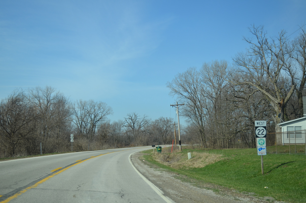
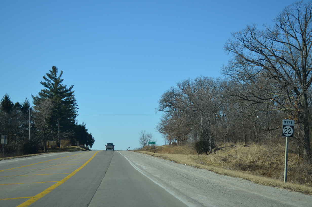
Highway 22 West - Scott / Muscatine Counties

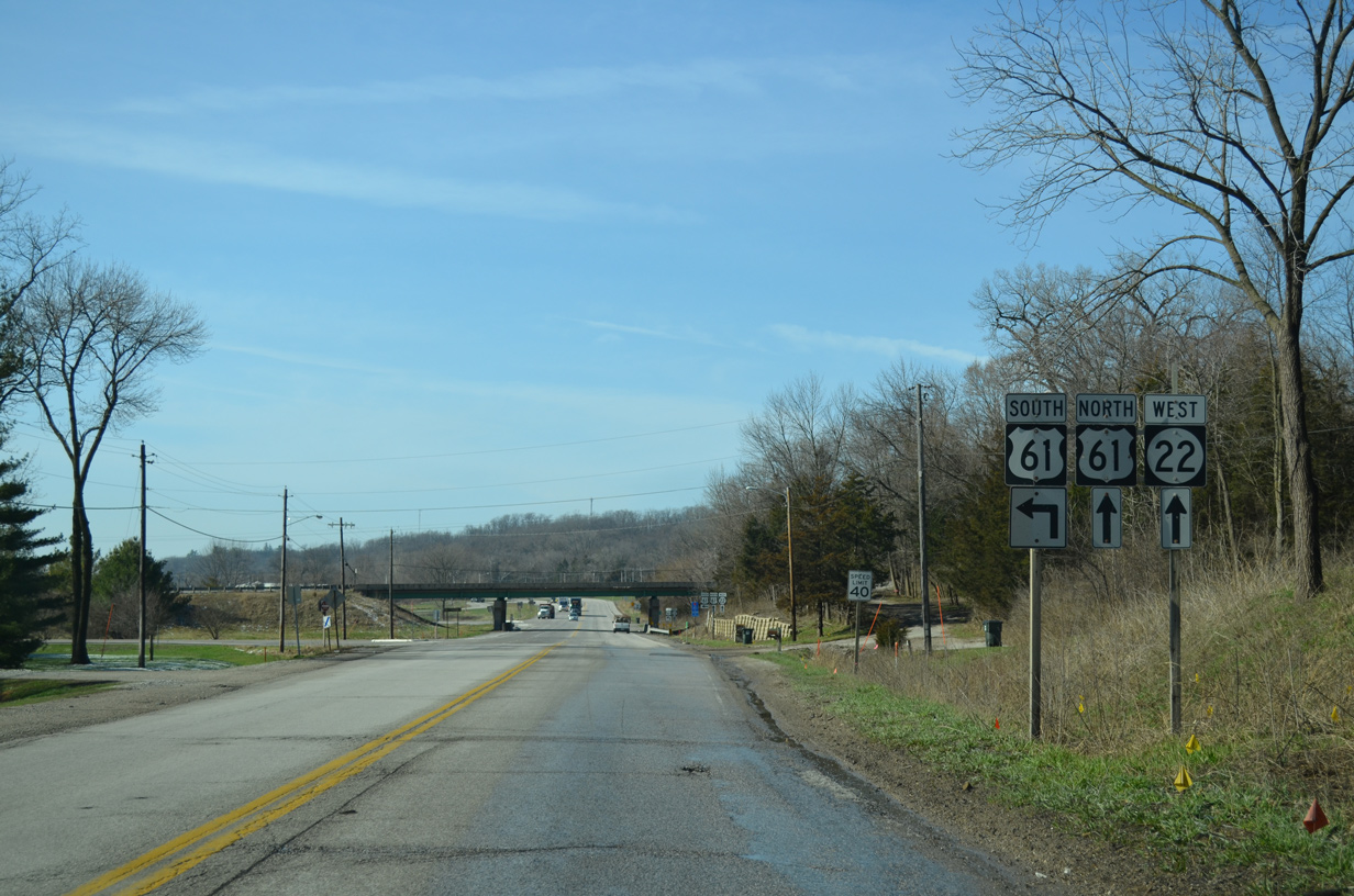
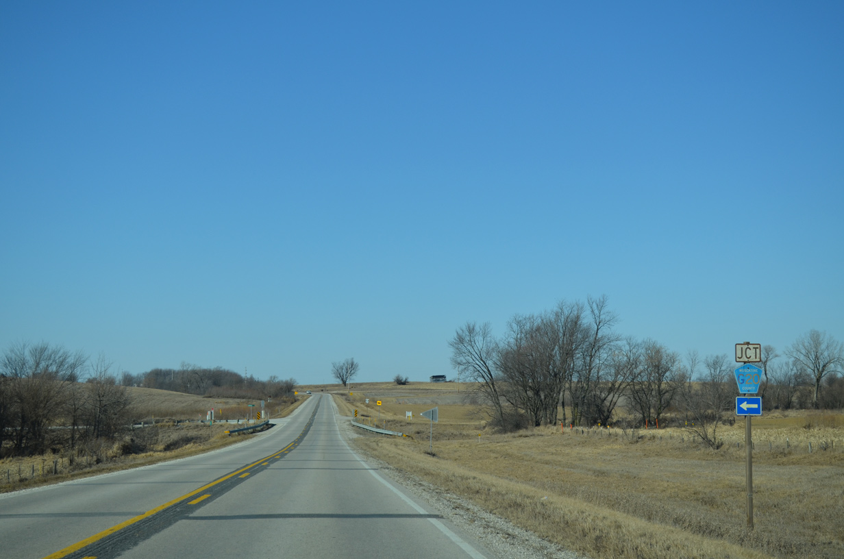
Iowa 22 begins at a folded diamond interchange connecting Rockingham Road with U.S. 61 Business (West River Drive) in West Davenport.
03/25/16
Still signed here as U.S. 61, U.S. 61 Business was established through Davenport in 2010. U.S. 61 was realigned at that time to bypass Downtown Davenport along a combination of I-280 and I-80 to the northwest.
03/25/16
Iowa 22 follows Rockingham Road southwest five miles from U.S. 61 Business. West Drive Drive leads east 3.5 miles to Downtown Davenport.
03/25/16
The exchange joining Iowa 22 and U.S. 61 Business (West River Drive) dates back to 1956.
03/25/16
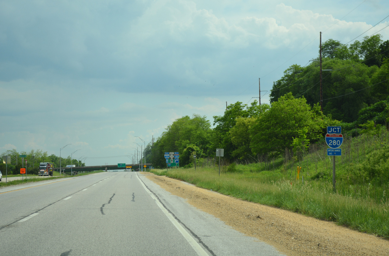
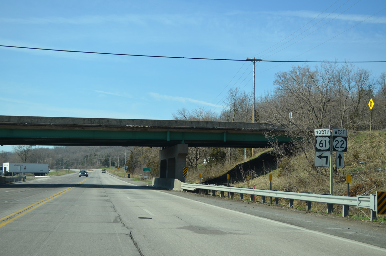
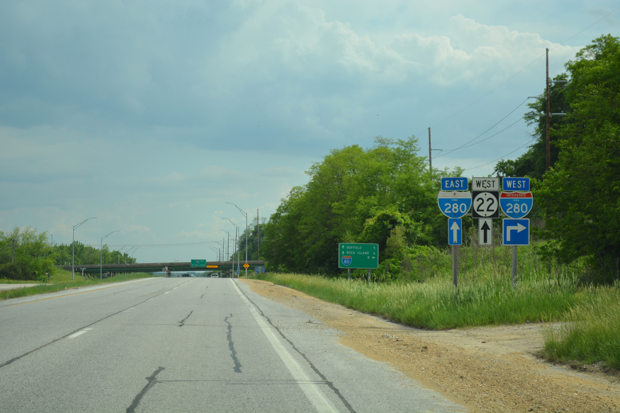
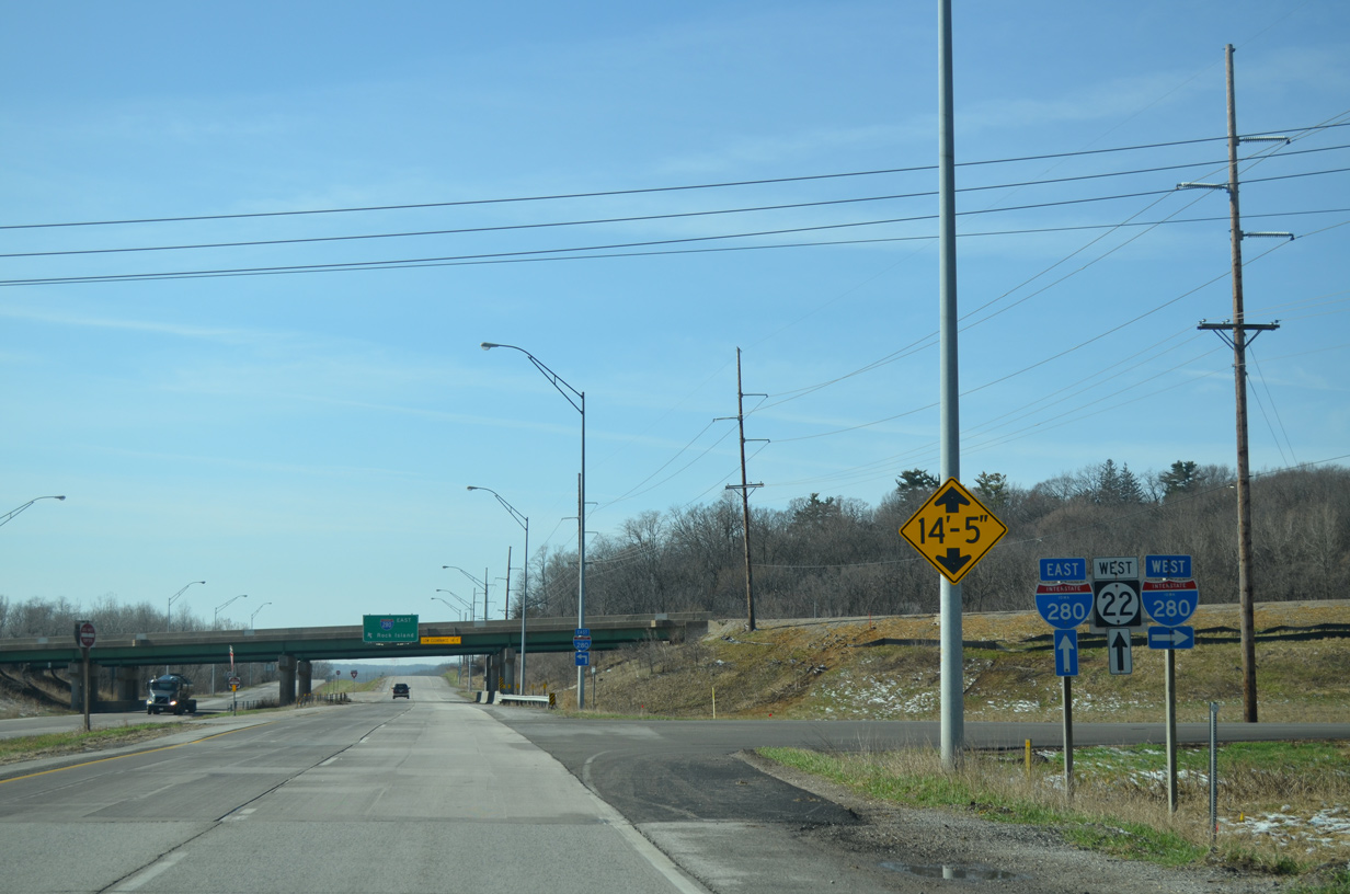
Iowa 22 (Rockingham Road) advances 0.9 miles south to a diamond interchange with Interstate 280.
05/28/18
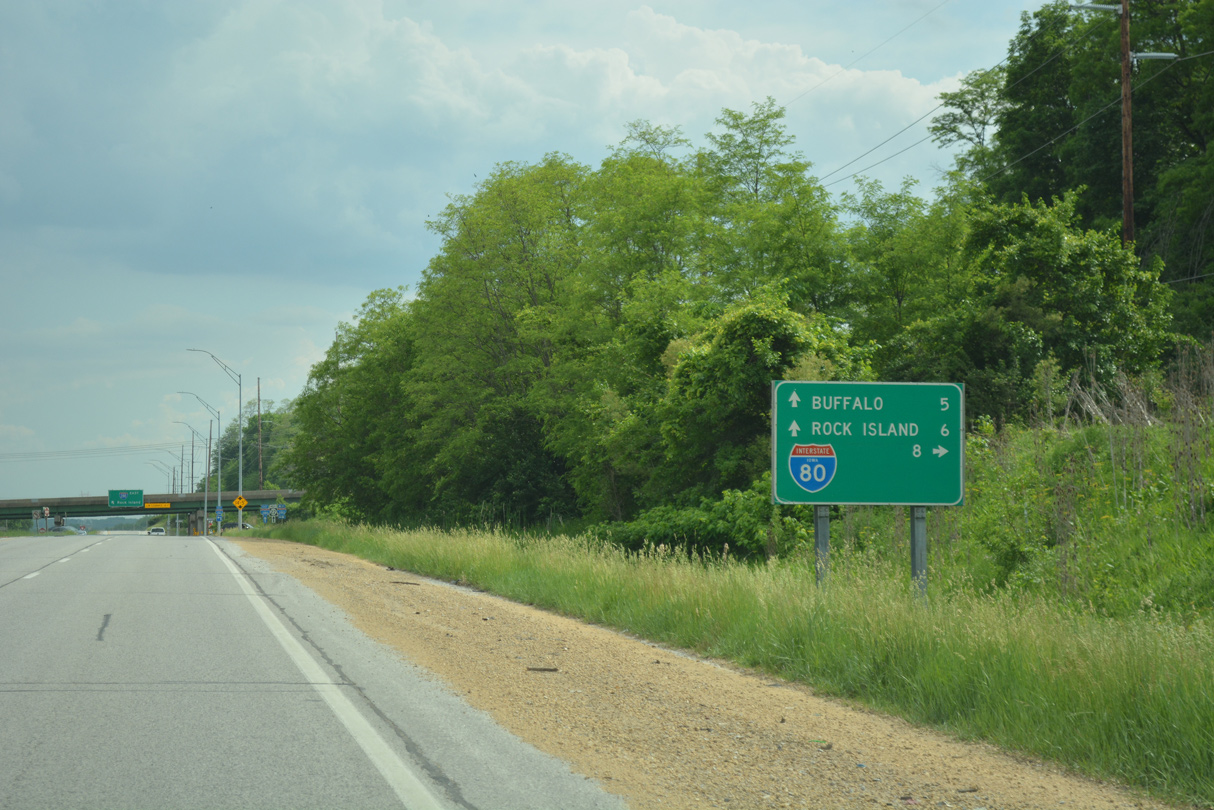
Heading north from Iowa 22, I-280 runs along the west side of Davenport by West Lake County Park to end in eight miles at Interstate 80 with U.S. 6 and U.S. 61.
05/28/18
03/25/16
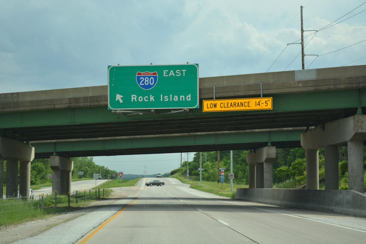
Passing under a set of 1970-built overpasses, drivers on Iowa 22 approach the eastbound on-ramp for Interstate 280.
05/28/18
I-280 spans the Mississippi River across a tied arch bridge just south of Iowa 22 and ahead of Illinois 92 (Centennial Expressway) to Rock Island.
03/25/16
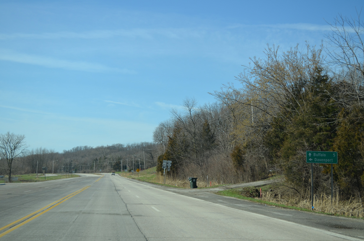
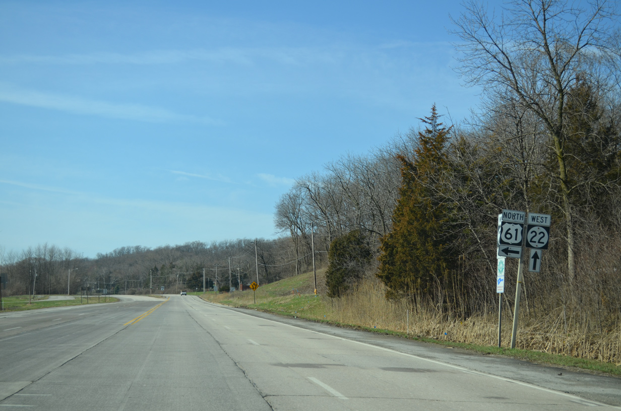
Iowa 22 remains a four lane, divided highway 2.1 miles southwest from Interstate 280 to the Buffalo city line.
03/25/16
Narrowing to a four lane boulevard, Iowa 22 (Front Street) crosses into Buffalo at Utah Avenue.
03/25/16
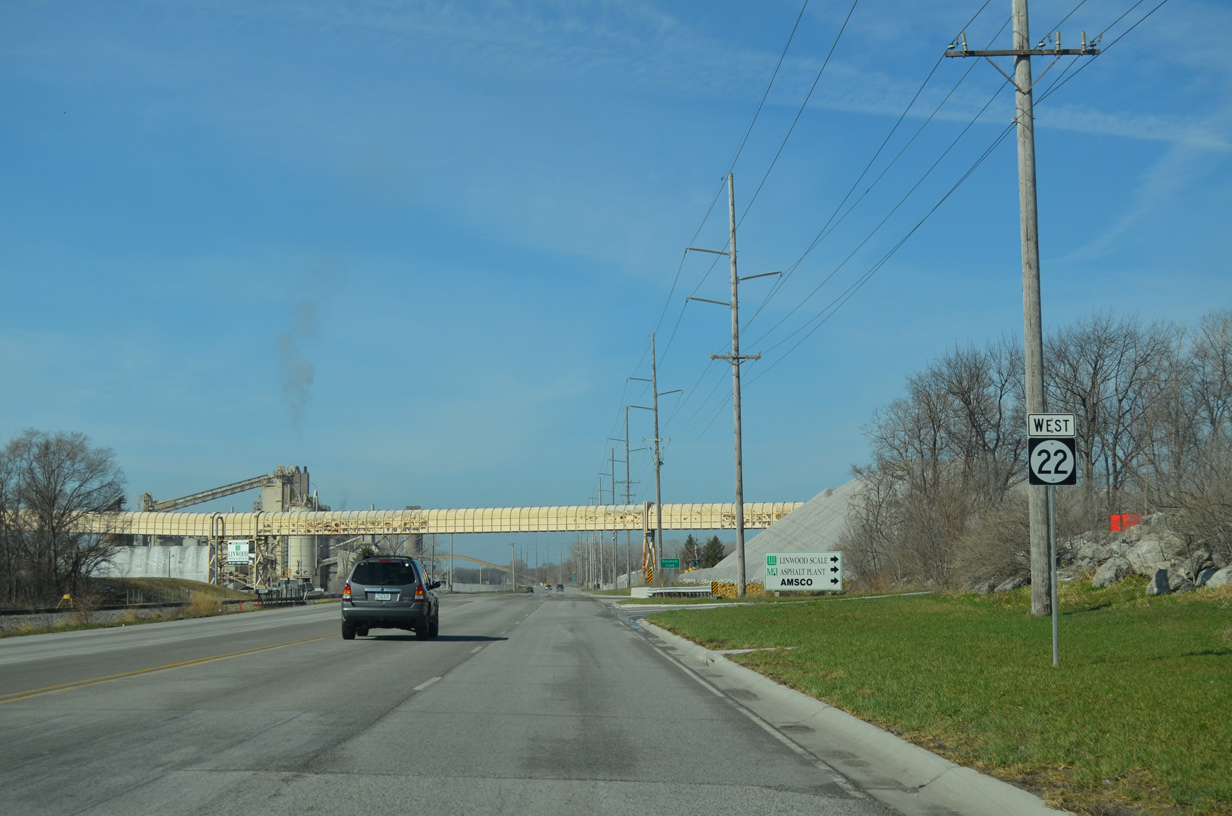
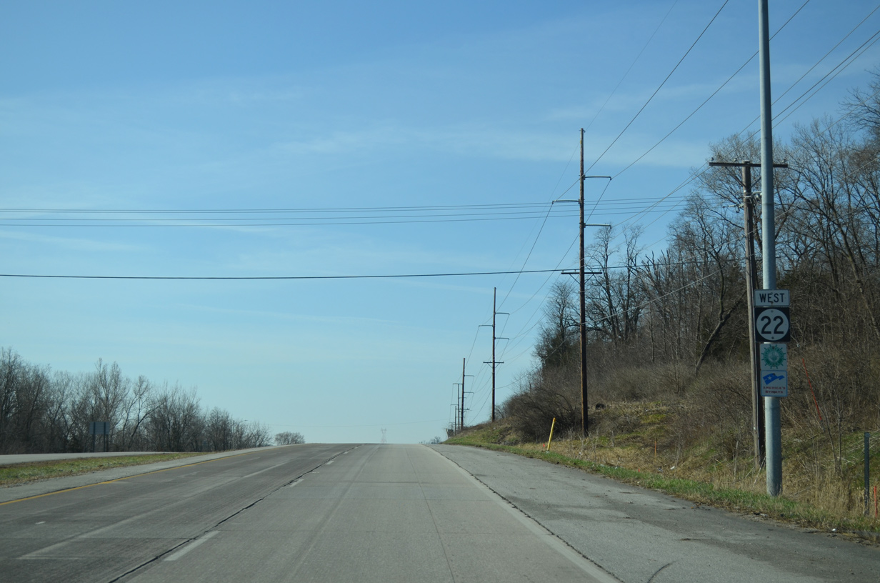
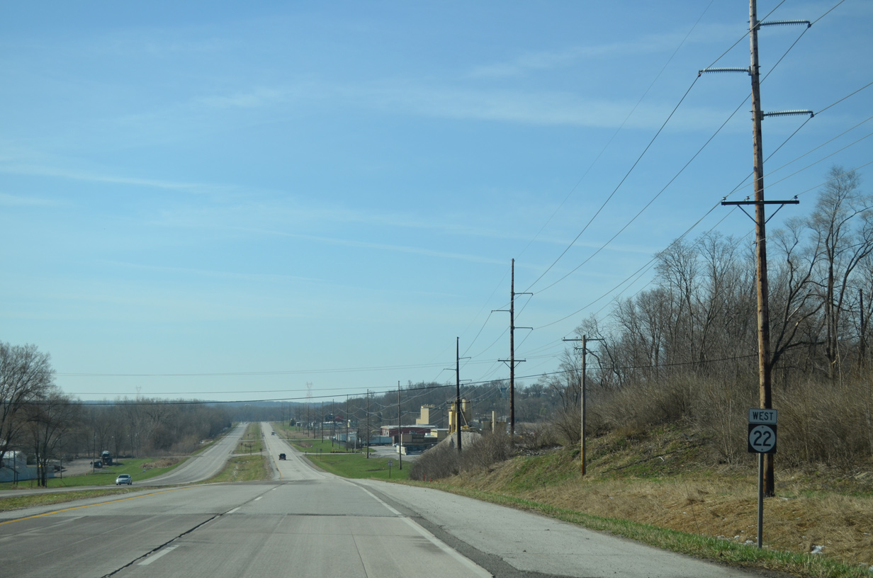
An asphalt plant and mining operations line Iowa 22 (Front Street) at the Linwood section of Buffalo. This reassurance marker stands beyond 115th Avenue.
03/25/16
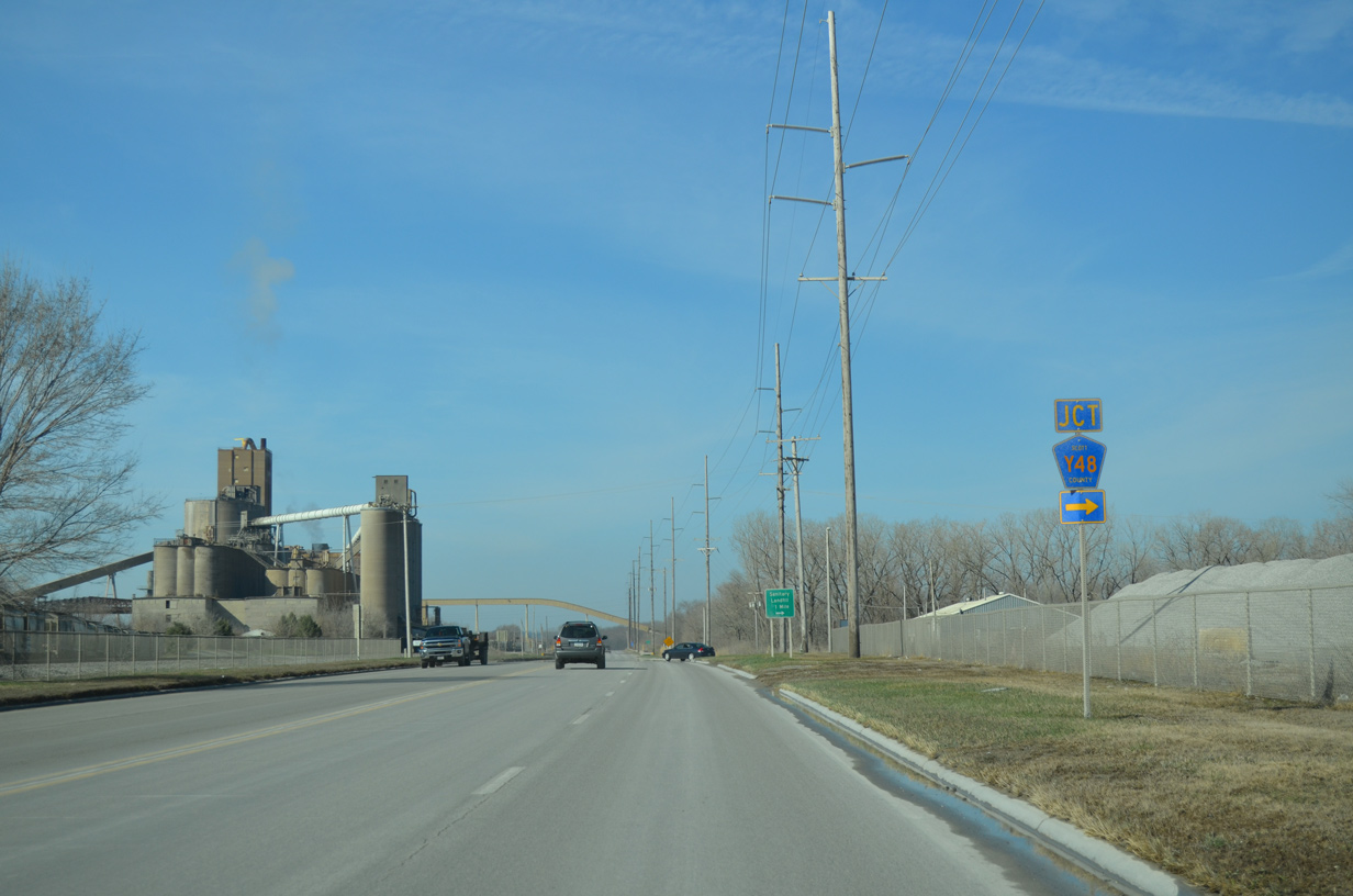
110th Avenue stems north from Iowa 22 (Front Street) as County Road Y48 to West Lake County Park, northwest Davenport and Iowa 130 at Maysville.
03/25/16
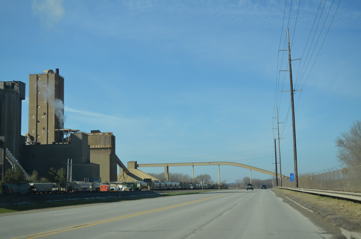
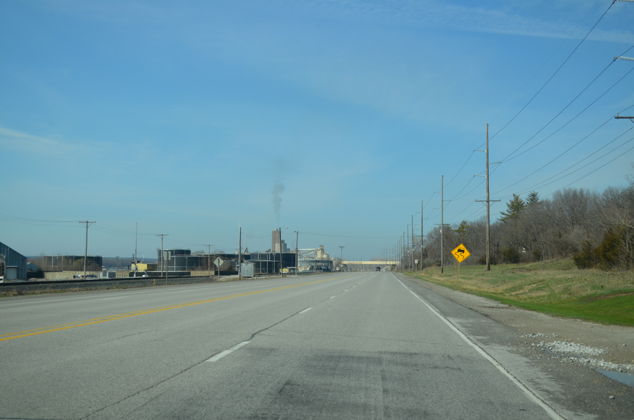
Continuing west, Front Street passes by a cement plant. The industrial riverfront gives way to a residential street grid as Iowa 22 nears the Buffalo city center.
03/25/16
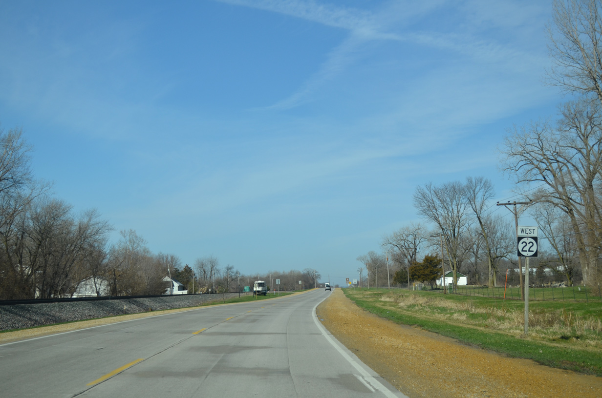
Iowa 22 (Front Street) leaves the Buffalo street grid beyond Elm Street. Speed limits resume at 55 miles per hour as the route parallels a Dakota, Minnesota & Eastern (DME) Railroad Corporation line.
03/25/16
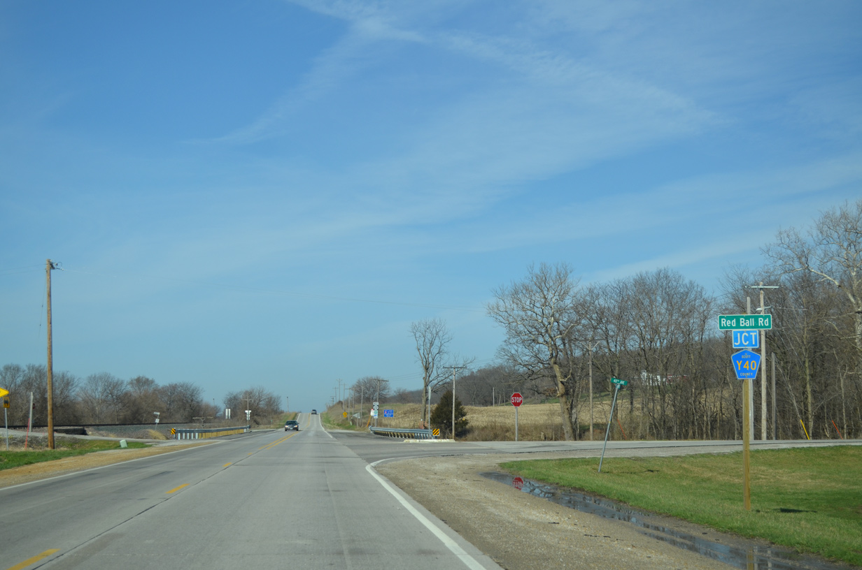
Scott County Road Y40 (Red Ball Road) angles northwest from Iowa 22 through rural areas of west Buffalo to the city of Blue Grass.
03/25/16
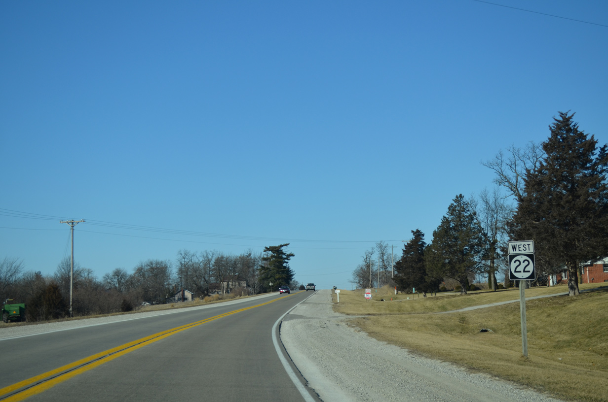
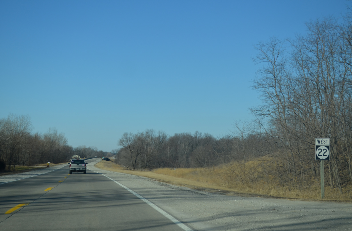
The last shield for Iowa 22 in Scott County stands just west of County Road Y40.
03/25/16

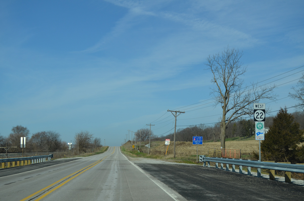
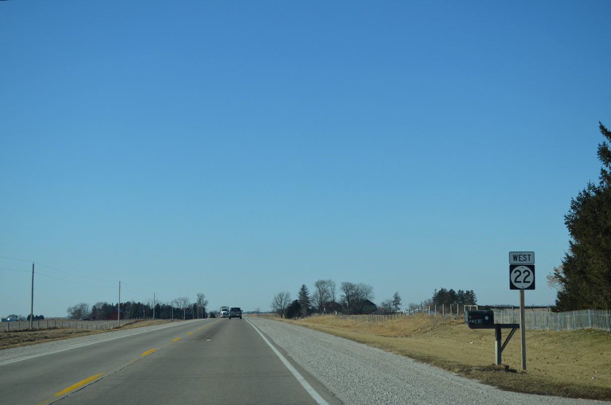
Westbound Iowa 22 crosses the Muscatine County line and leaves the city of Buffalo north of Andalusia Island on the Mississippi River.
03/25/16
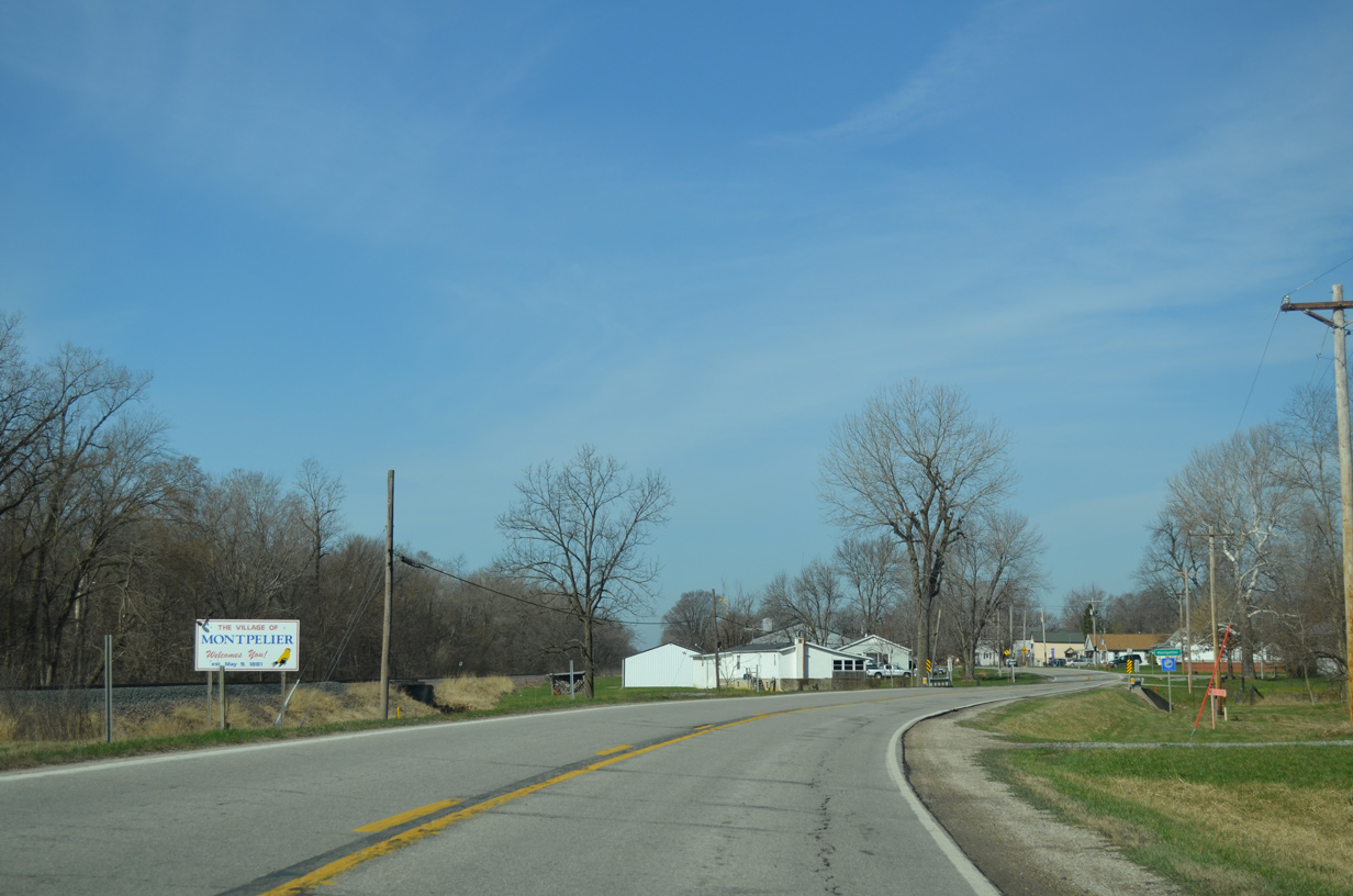
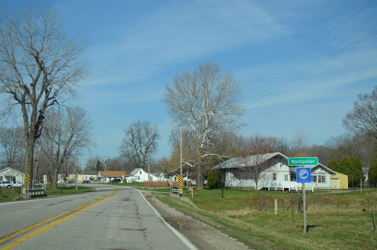
Motorists on Iowa 22 west next reach the unincorporated village of Montpelier. A welcome sign preceding Scott Street lists the community founding date as May 9, 1881.
03/25/16
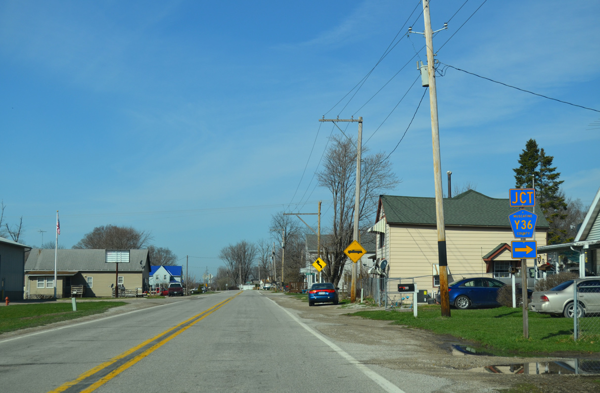
County Road Y36 (Zachary Avenue) takes a winding course northward to link Iowa 22 (2nd Street) and Montpelier with U.S. 61 outside Blue Grass.
03/25/16
A sweeping S-curve takes Iowa 22 northward around Midway Beach and across a DME Railroad spur. The realignment was built in 1996.
03/25/16
Great River Road trailblazer posted at Wildcat Den Road. Wildcat Den Road heads northwest to Wild Cat Den State Park.
03/25/16
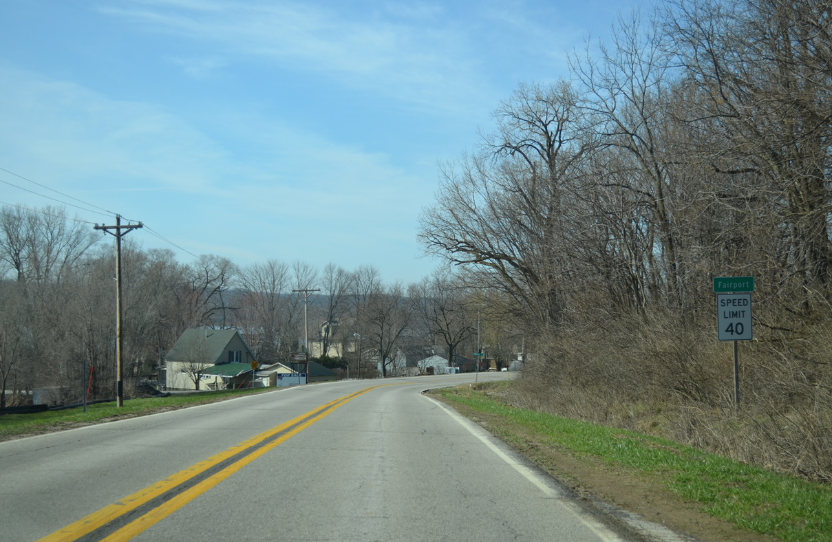
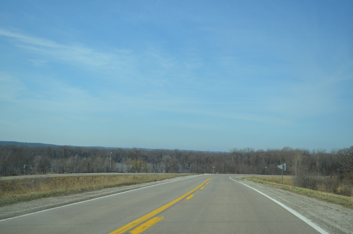
Iowa 22 advances west along the Mississippi River to the community of Fairport.
03/25/16
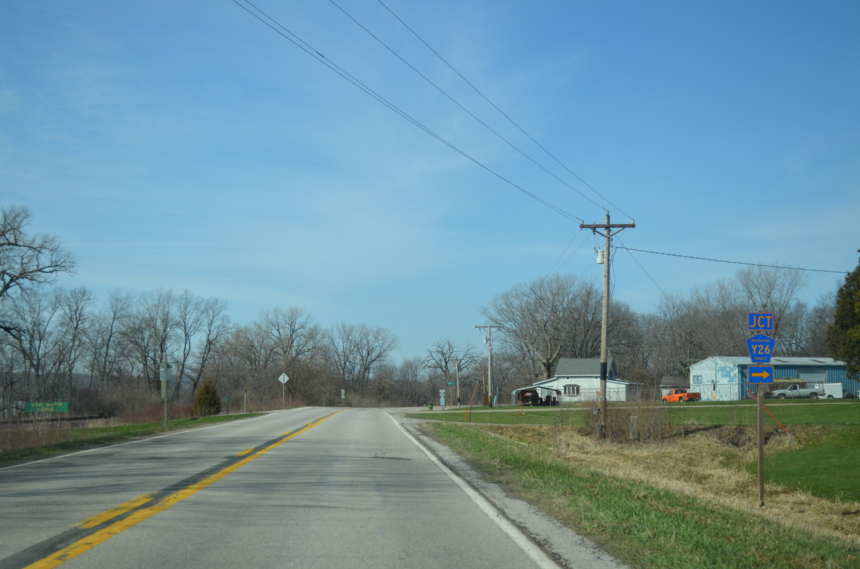
County Road Y26 (Vail Avenue) ties into Iowa 22 on the west side of Fairport. Vail Avenue meanders northward to U.S. 61 near Pleasant Prairie.
03/25/16
West from CR Y26 (Vail Avenue), Iowa 22 heads to Fairport Recreation Area.
03/25/16
Emerging from a narrow strip of land between the Mississippi River bluffs and Wyoming Slough along Iowa 22 west near Sweetland Road.
03/25/16
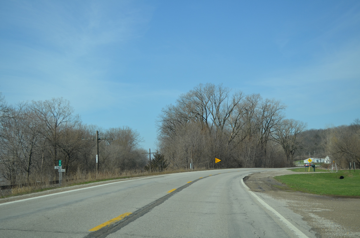
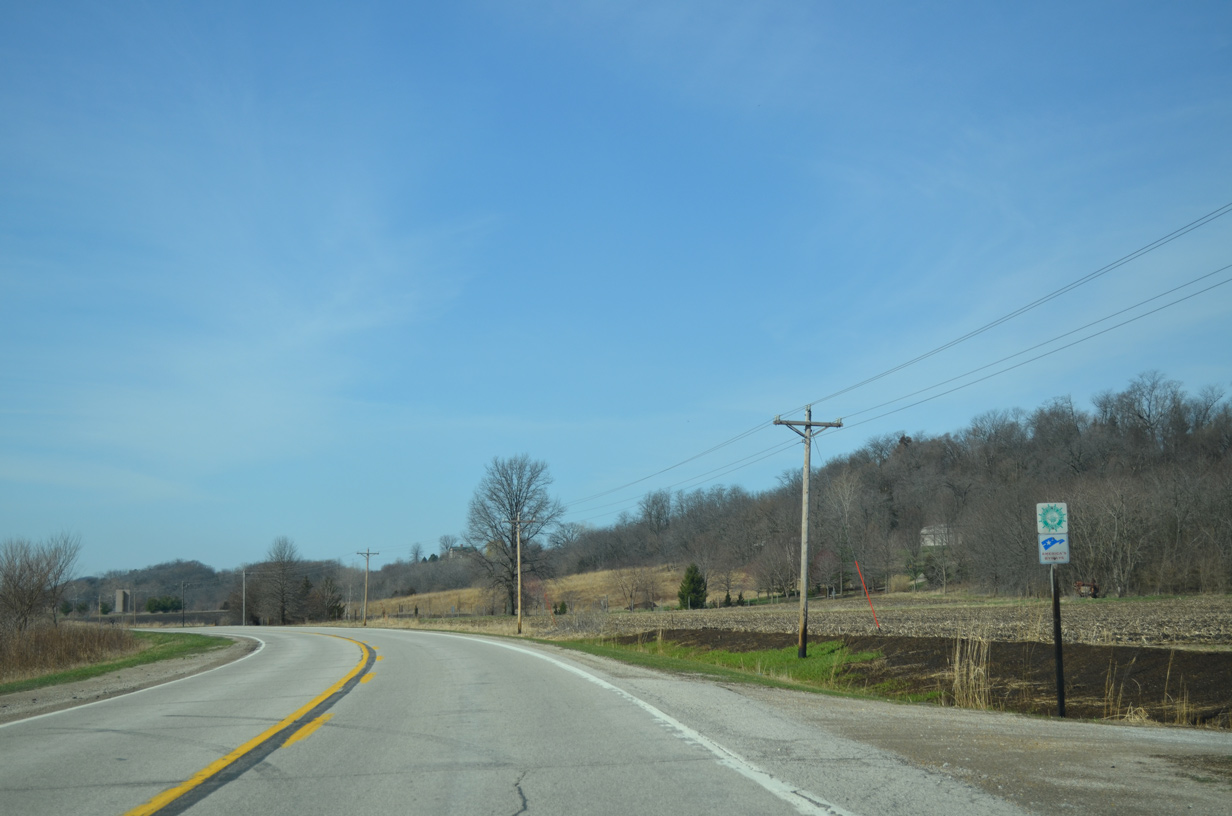
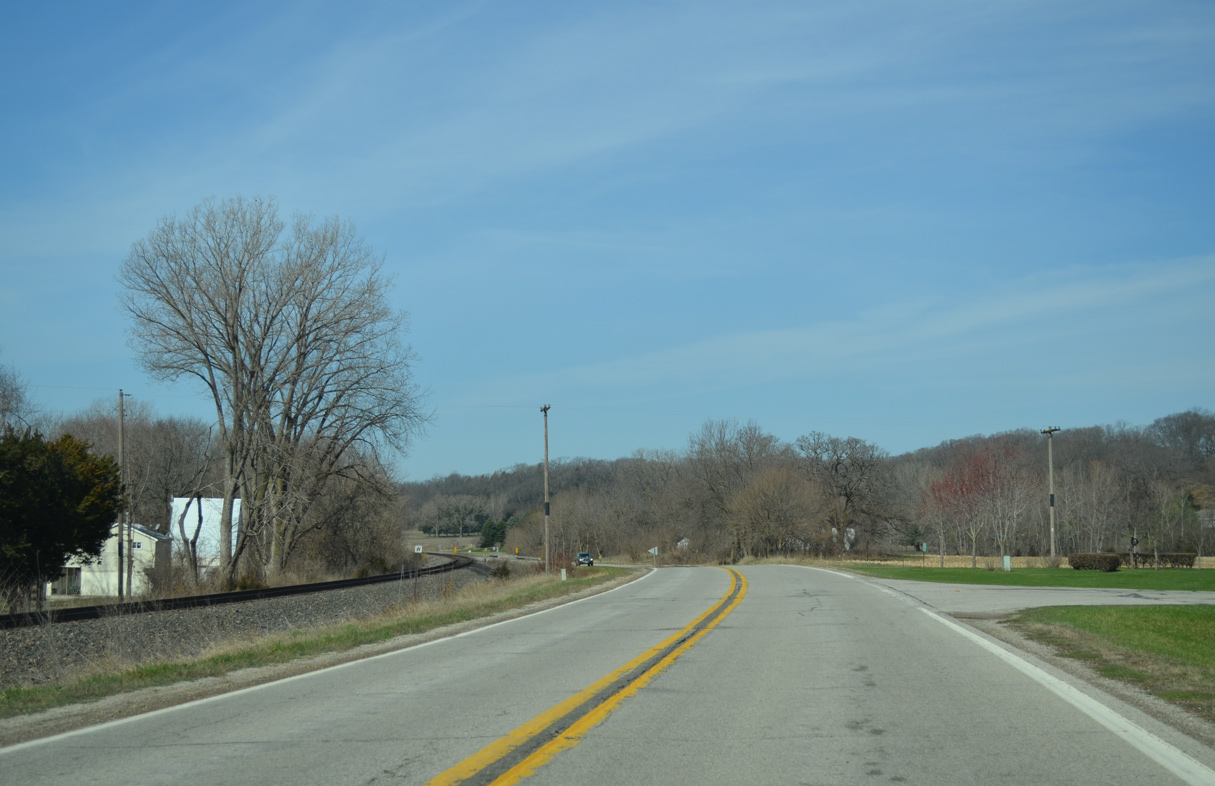
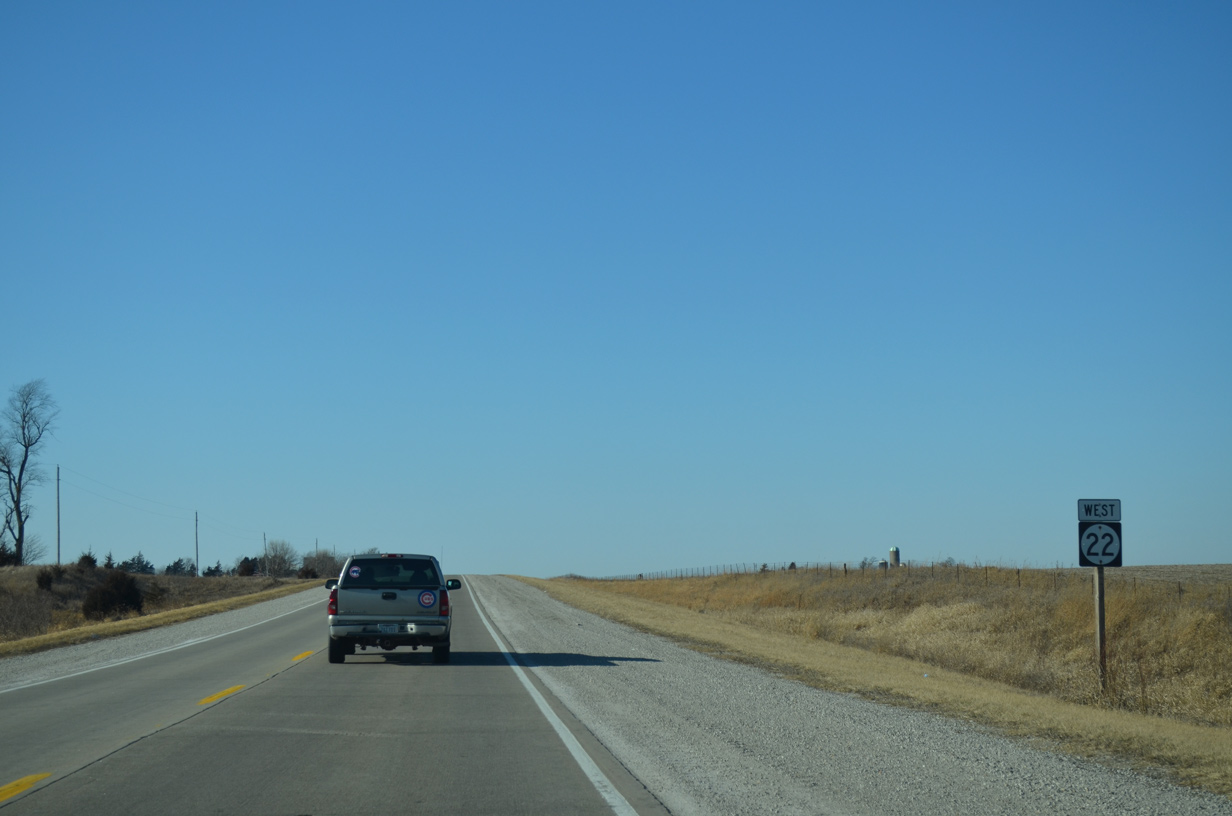
Milepost 76 stands ahead of the intersection with Geneva Hills Road on Iowa 22 west. The state highway diverges from the parallel DME Railroad to hug the bluff line over the succeeding stretch.
03/25/16
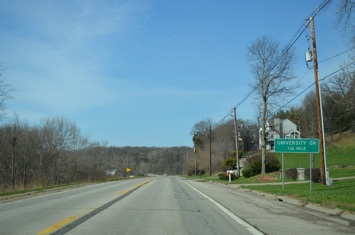
Approaching Muscatine, Iowa 22 intersects University Drive north in one quarter mile.
03/25/16
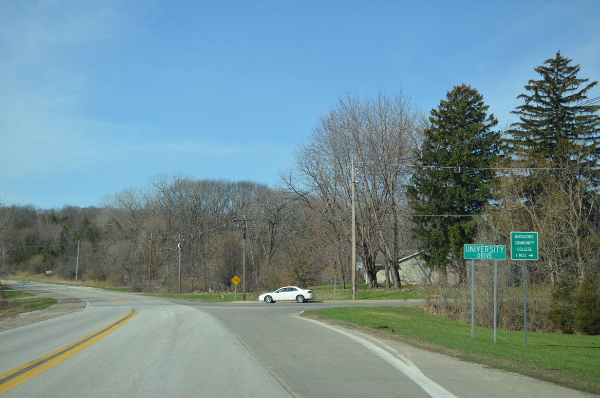
University Drive stems 1.3 miles north from Iowa 22 to the commercial strip of U.S. 61 in northeast Muscatine. Colorado Street connects with University Drive nearby from Muscatine Community College.
03/25/16
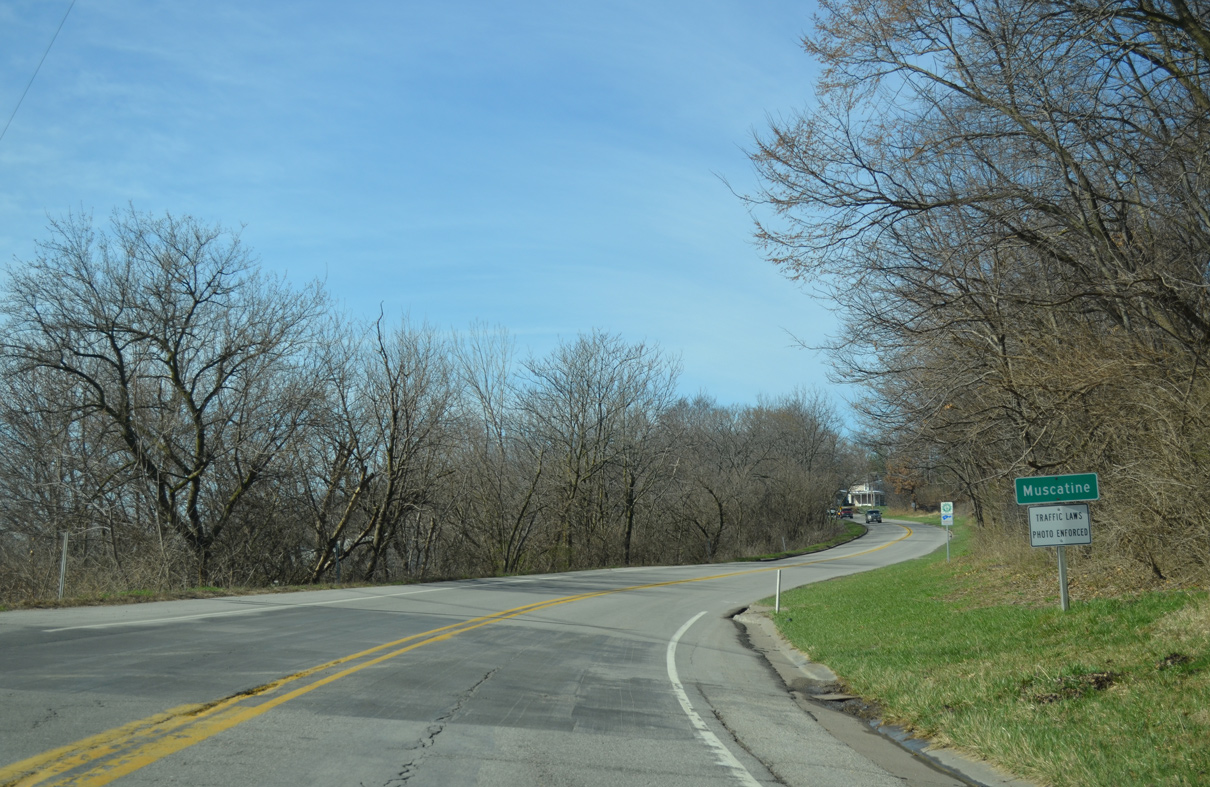
Home to 24,000, the city of Muscatine stretches 18.35 square miles across a wide area from the Mississippi River north to the U.S. 61 expressway bypass and southwest to Muscatine Municipal Airport (MUT).
03/25/16
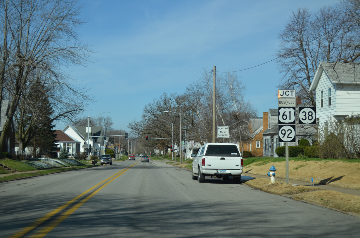
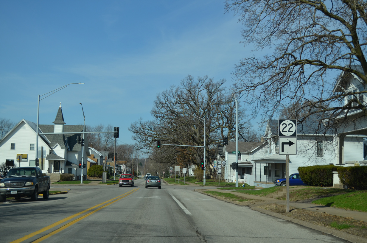
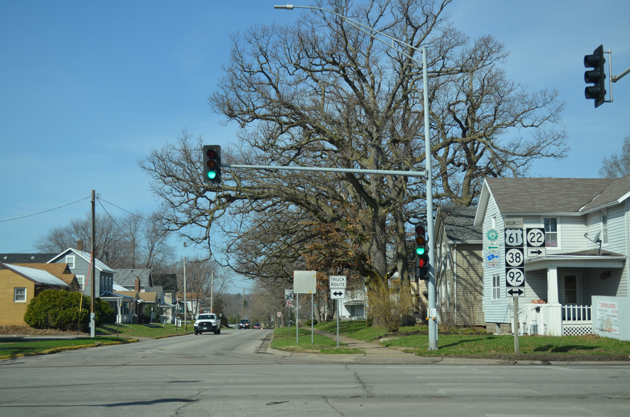
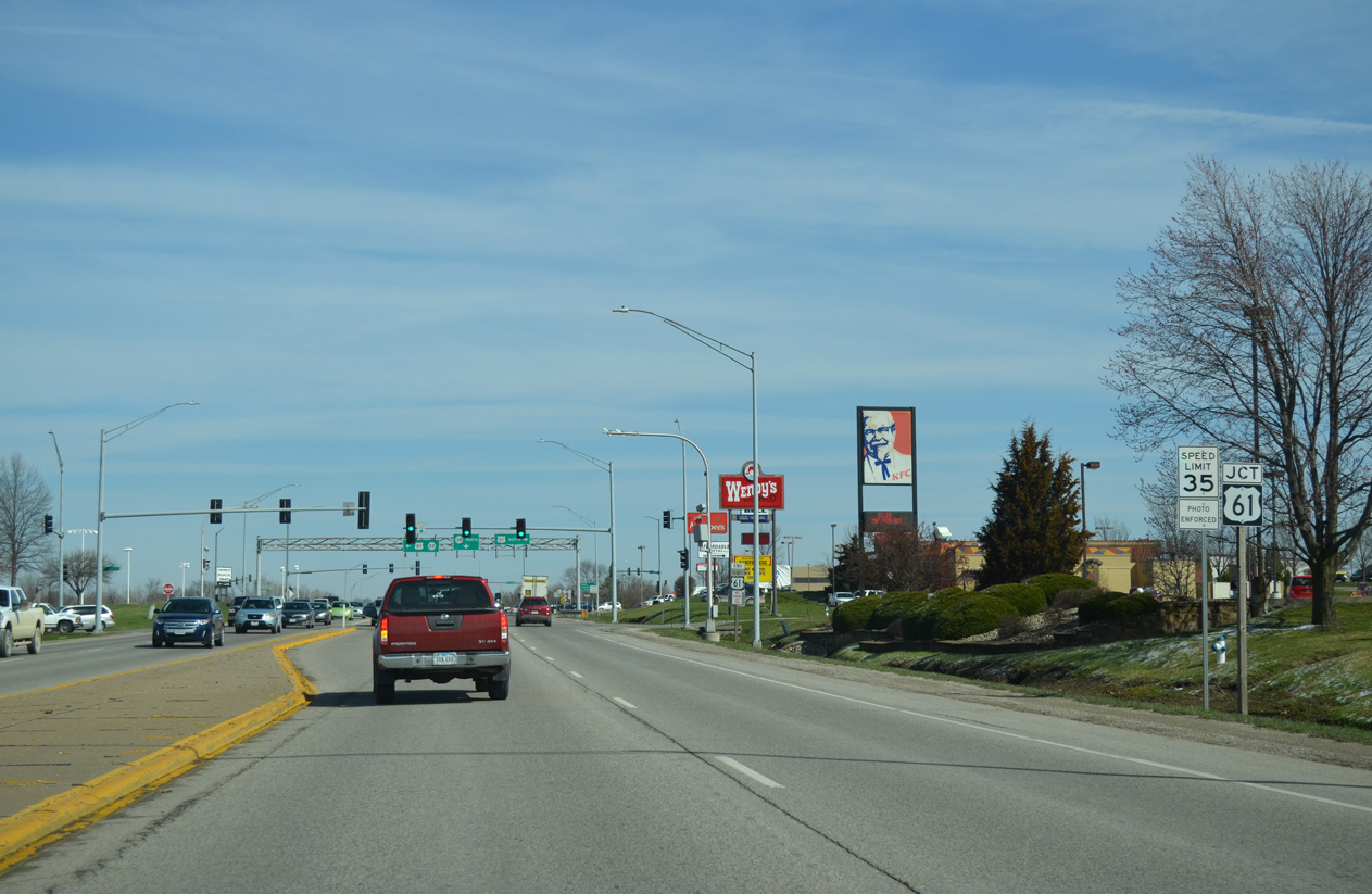
Transitioning onto Washington Street, Iowa 22 passes by Weed Park and approaches U.S. 61 Business & Iowa 38-92 on Park Avenue.
03/25/16
Iowa 22 combines with U.S. 61 Business & Iowa 38-92 (Park Avenue) for a 1.3 mile overlap to U.S. 61.
03/25/16
Park Avenue continues U.S. 61 Business & Iowa 38-92 south 0.4 miles to East 2nd Street. The trio angle southwest from there a third of a mile to the Norbert F. Beckey Bridge, where Iowa 38 ends and MSR 92 crosses the Mississippi River into Illinois.
03/25/16

 North
North 
 West
West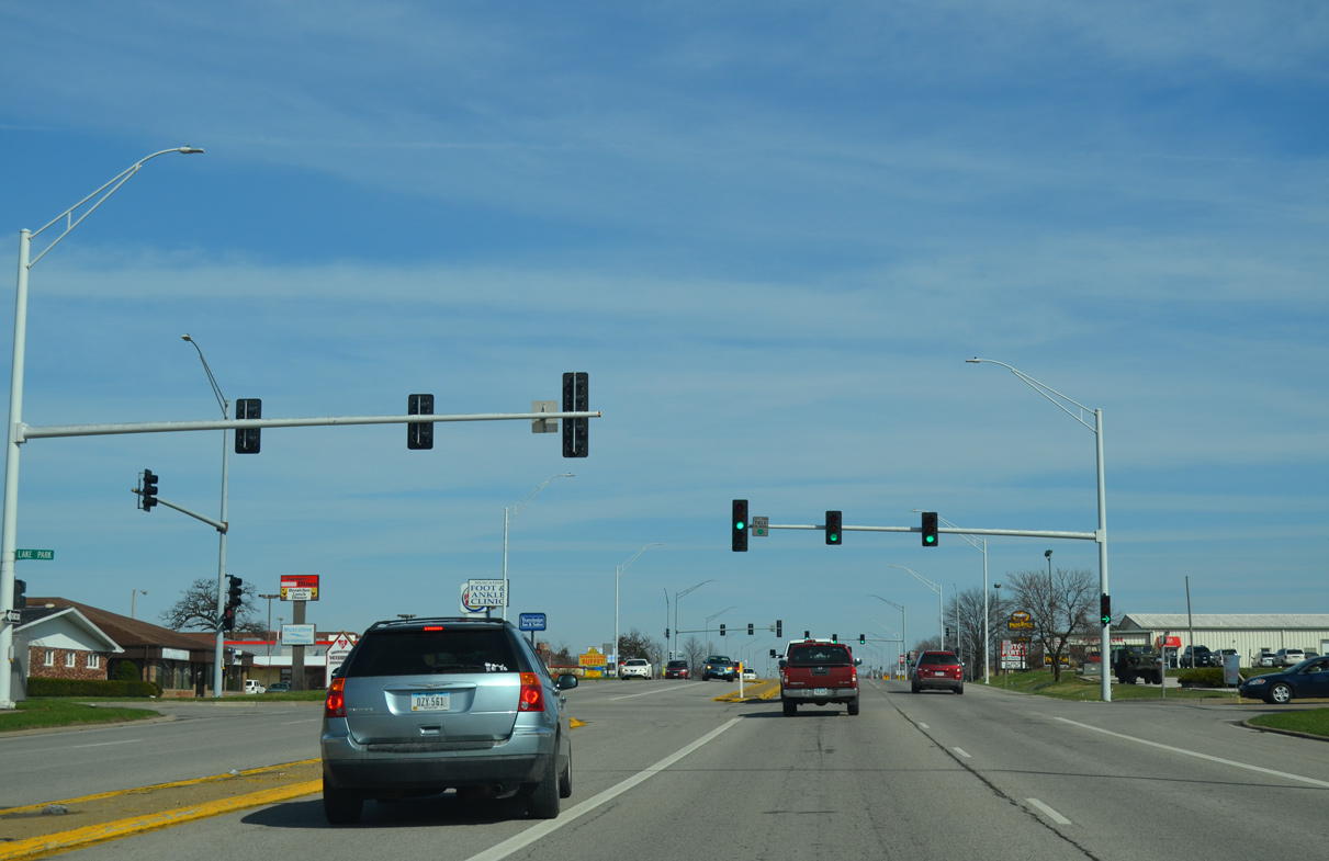
Lake Park Boulevard east ties into U.S. 61 Business/Iowa 22-38-92 (Park Avenue) across from a signalized entrance to Muscatine Mall.
03/25/16
Iowa 38 parts ways with Iowa 22/92 west at the forthcoming intersection with U.S. 61. U.S. 61 constitutes a commercial arterial within the vicinity of Park Avenue, and a controlled access expressway across the north side of Muscatine to the west.
03/25/16
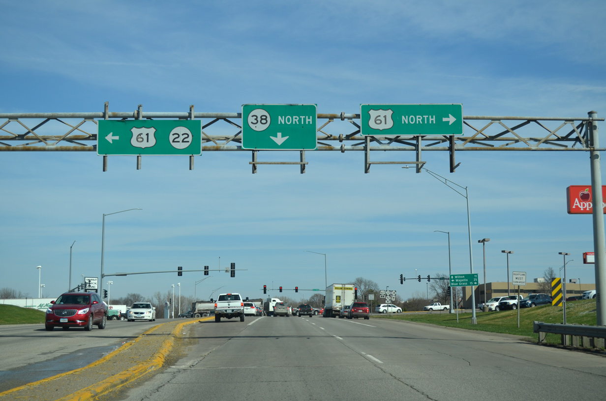
Iowa 22, and Iowa 92 as of 2014, combine with U.S. 61 south to bypass the remainder of Muscatine. Iowa 38 remains northward 7.9 miles to U.S. 6 outside the city of Wilton.
03/25/16
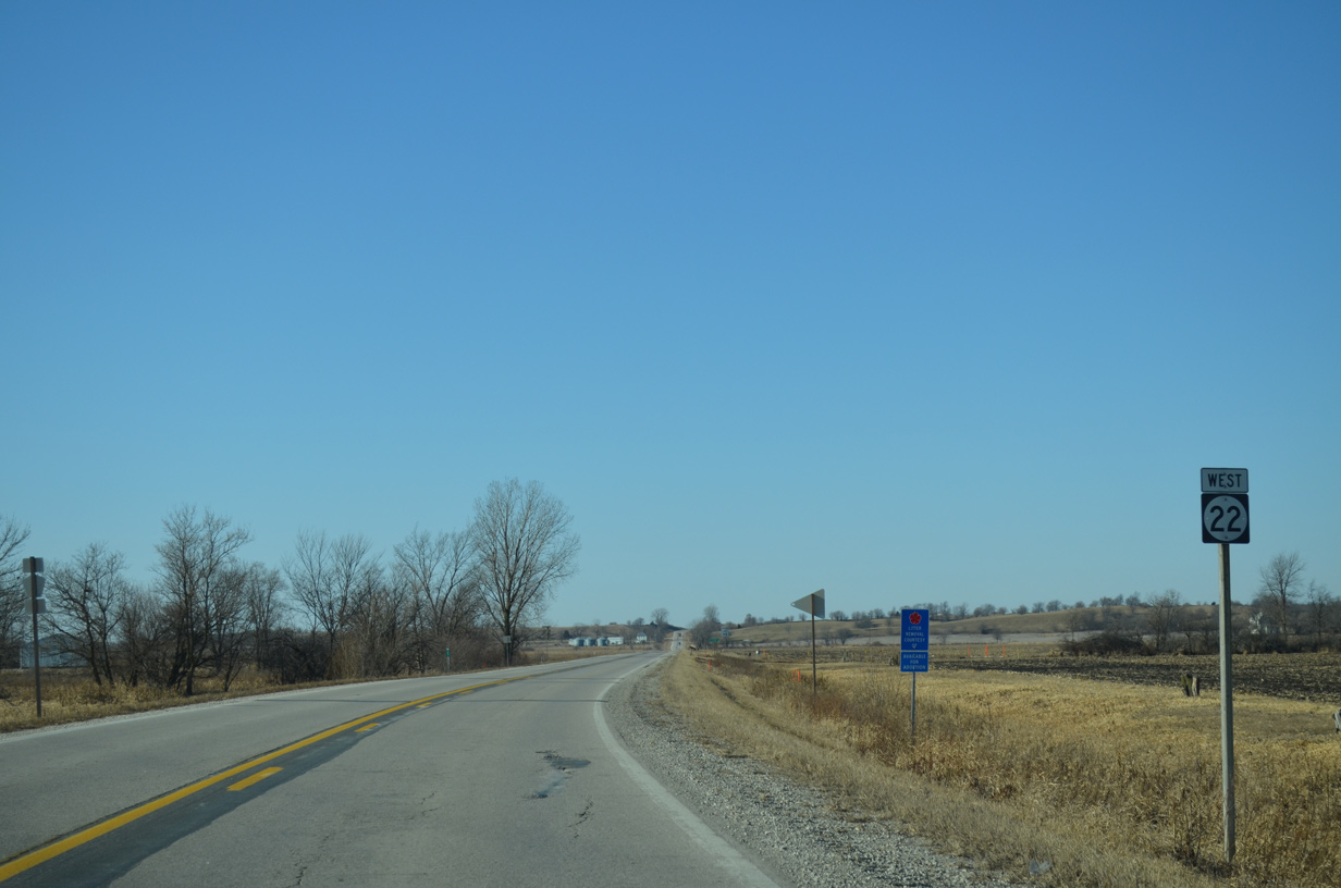
Leaving the Muscatine bypass and U.S. 61 & Iowa 92 behind, Iowa 22 climbs out of the Mississippi River valley on the 13 mile drive to Nichols.
12/31/14
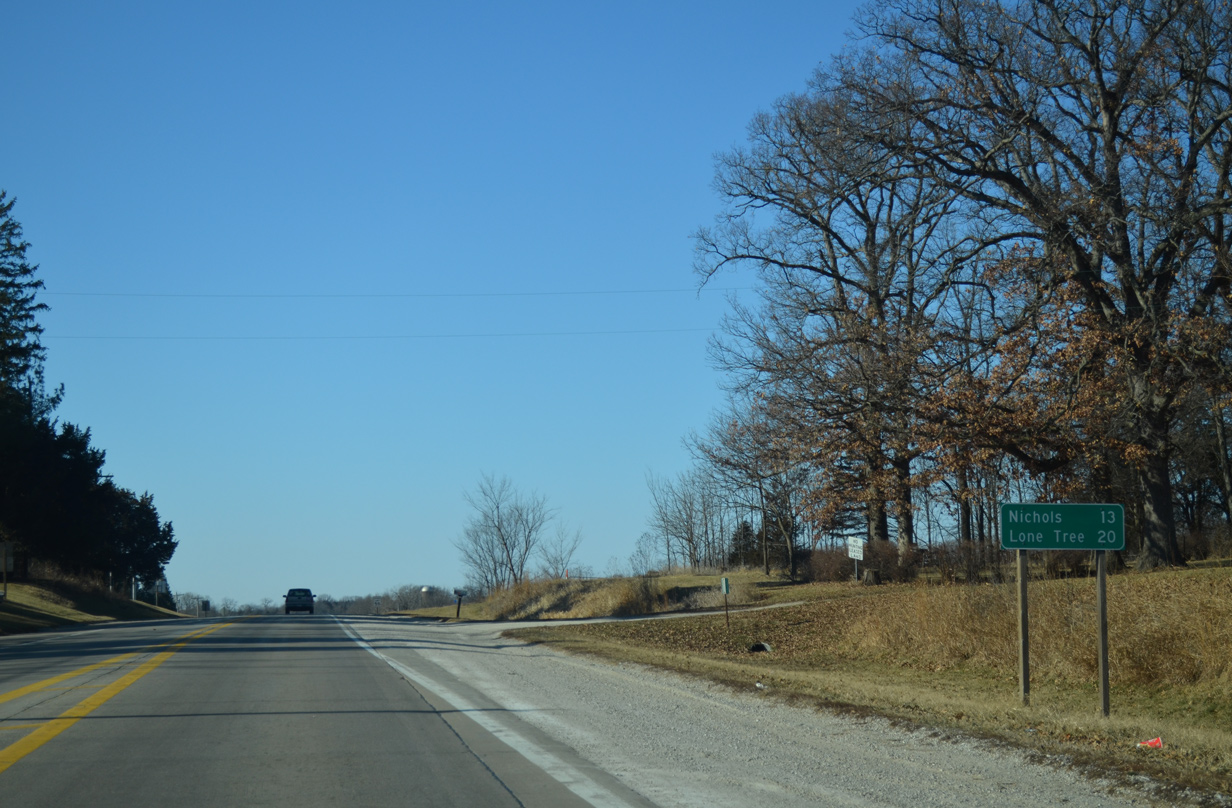
The city of Lone Tree, home to around 1,400, lies 20 miles to the west just off of Iowa 22.
12/31/14
Iowa 22 veers northwest and merges with Lucas Road ahead of this reassurance marker.
12/31/14
Iowa 22 turns west again for 2.85 miles from ahead of Seven Springs Road and this shield assembly.
12/31/14
Westbound IA 22 at High Prairie Road south.
12/31/14
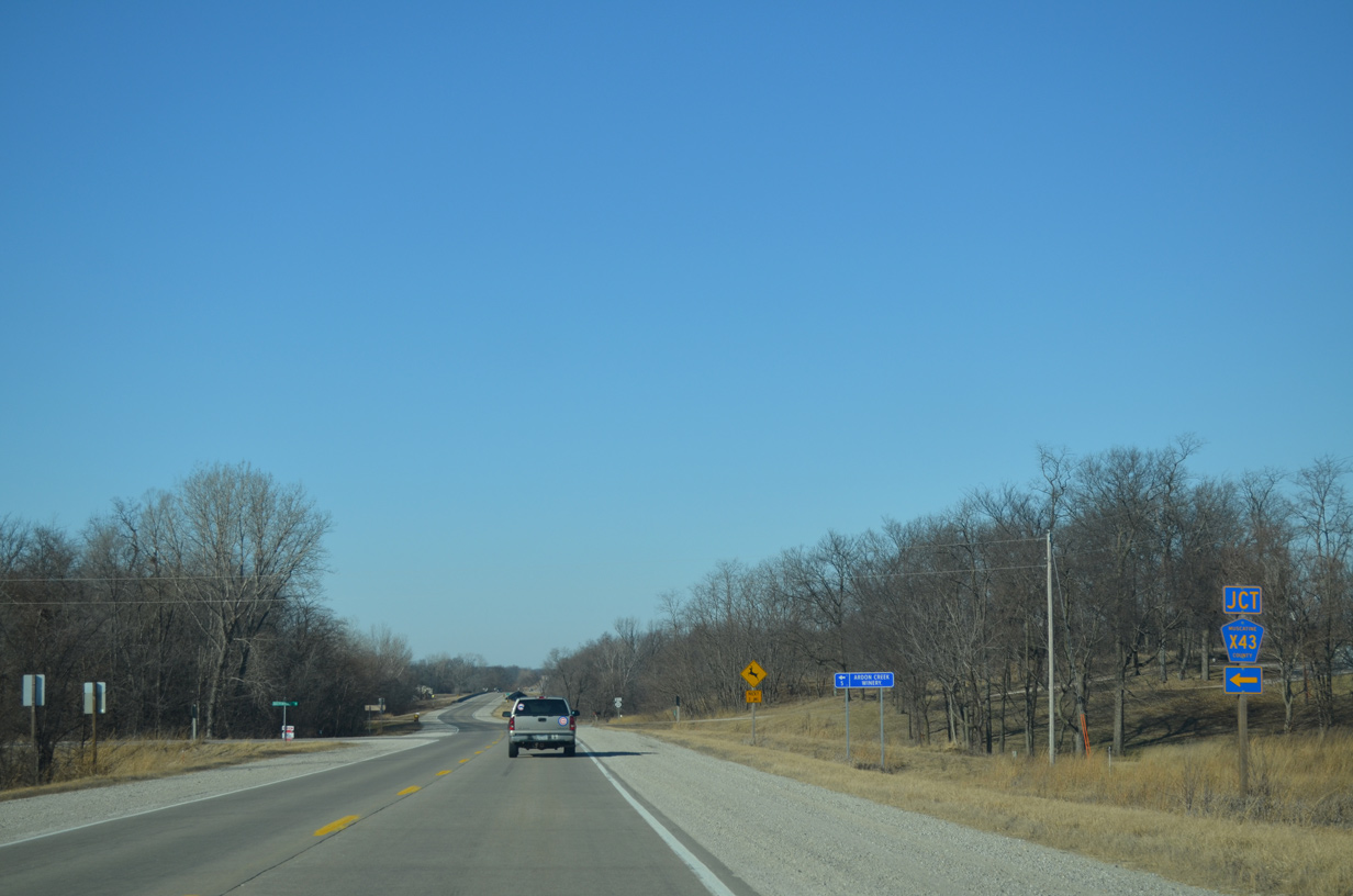
Muscatine County Road X43 (Independence Avenue) winds southwest from Iowa 22 to eventually reach the city of Letts.
12/31/14
A wooded area precedes the Cedar River along Iowa 22 west of CR X43.
12/31/14
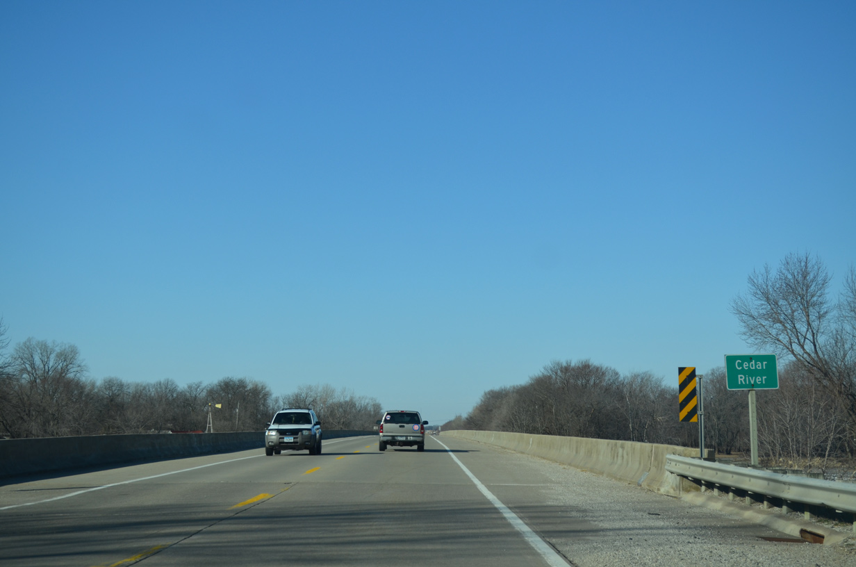
The Cedar River flows 338 miles southward from Dodge County in southern Minnesota to the Iowa River at Columbus Junction. The river was the source of massive flooding in Cedar Rapids during the spring of 2008.
12/31/14
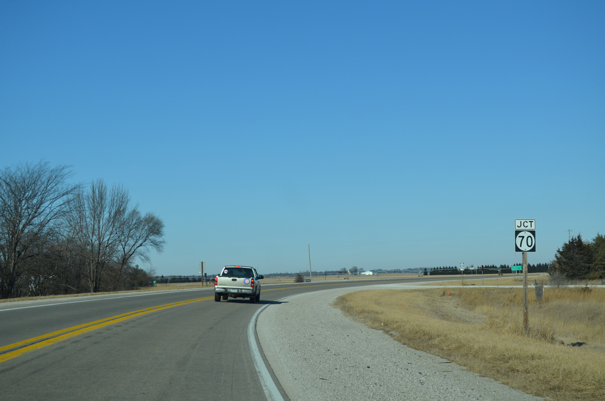
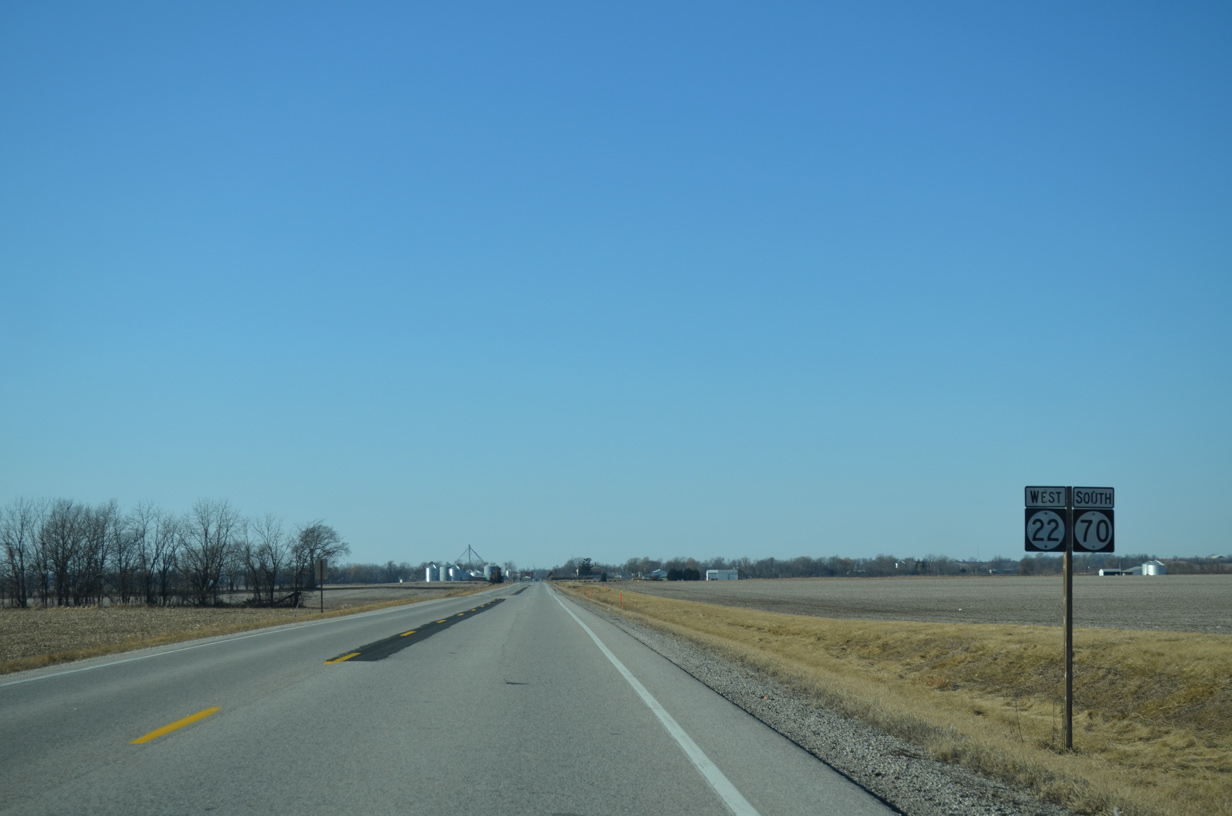
Iowa 22 curves north to combine with Iowa 70 south for a three mile overlap west into Nichols.
12/31/14
Iowa 70 runs 24 miles from U.S. 6 in West Liberty to Iowa 92 in Columbus Junction.
12/31/14
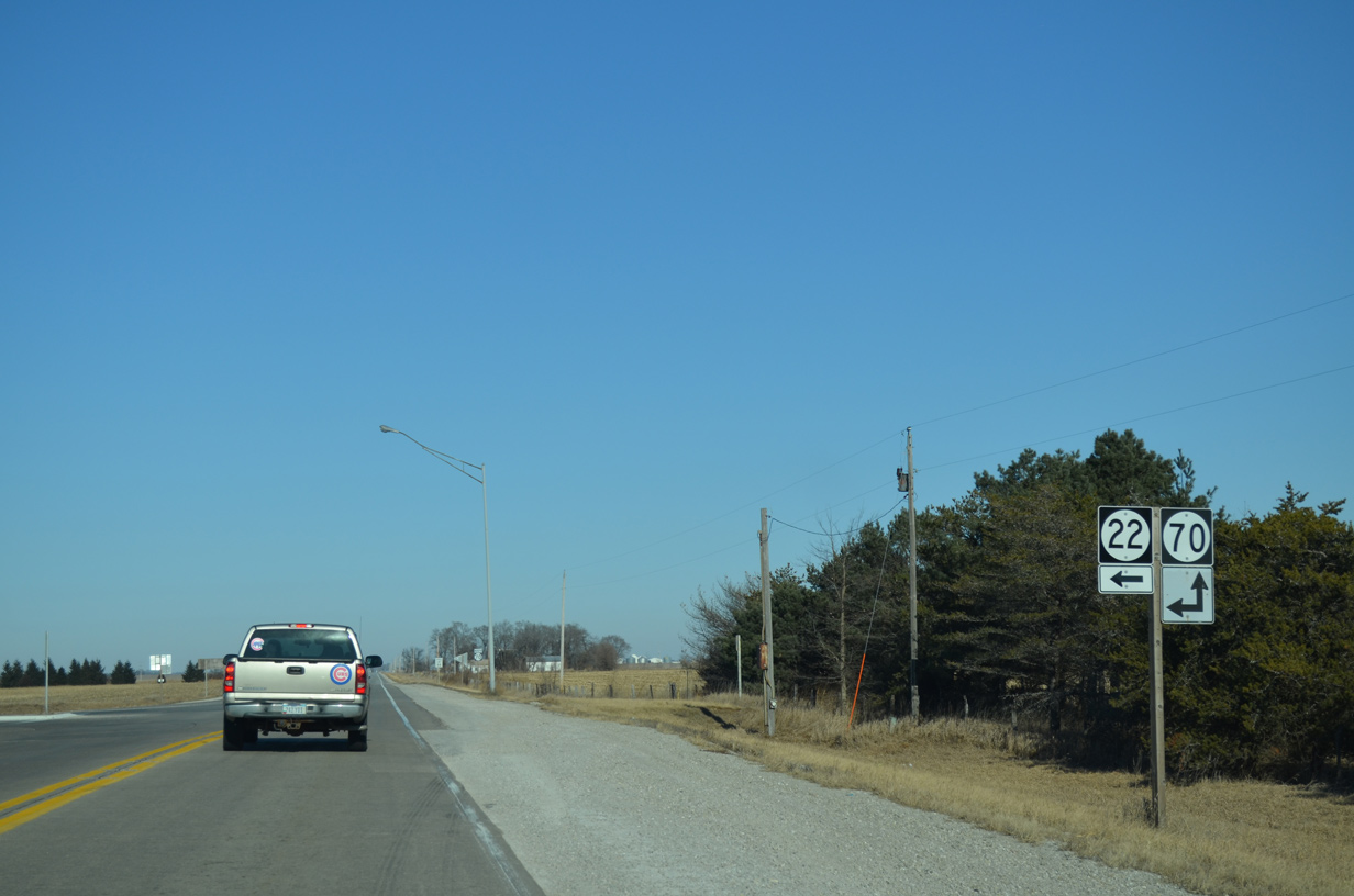
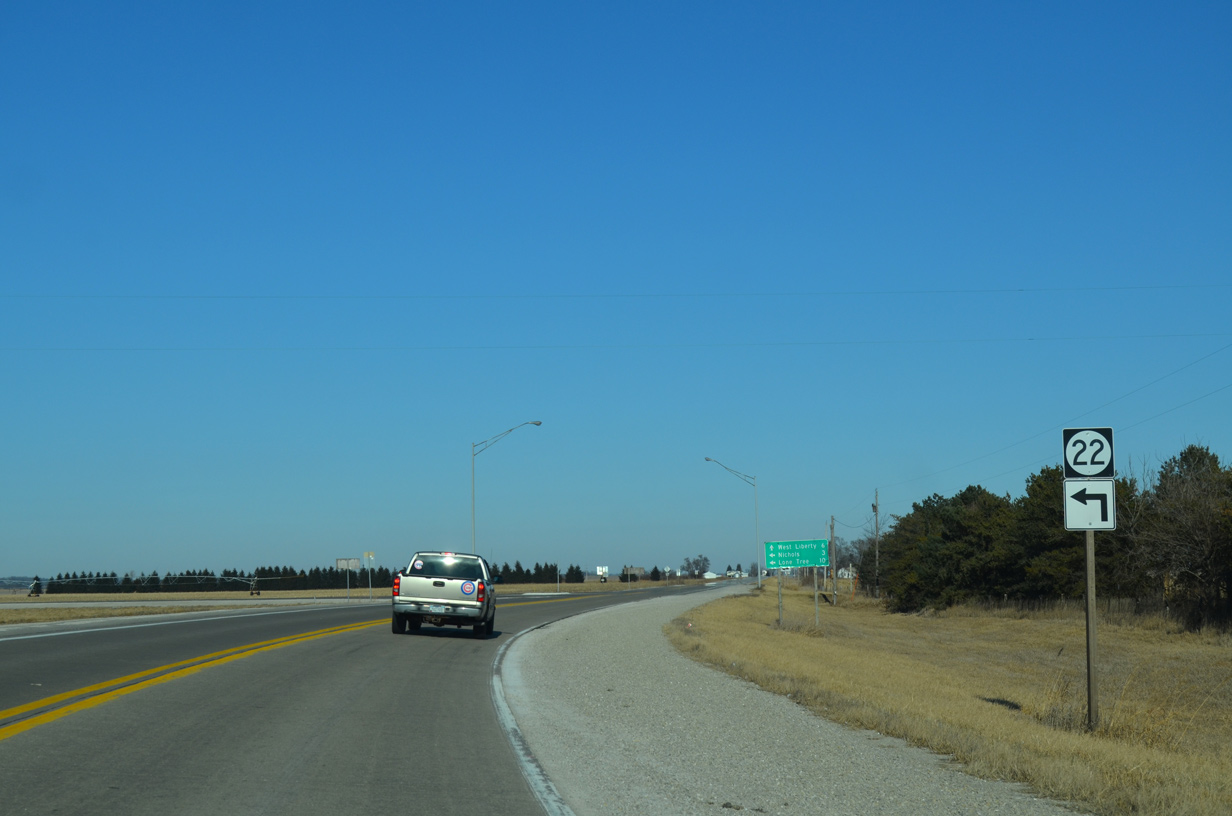
Iowa 70 stems north from Iowa 22, five miles to the city of West Liberty.
12/31/14
Elder Avenue crosses Iowa 22/70 just west of Wapsinonoc Creek ahead of this shield assembly.
12/31/14

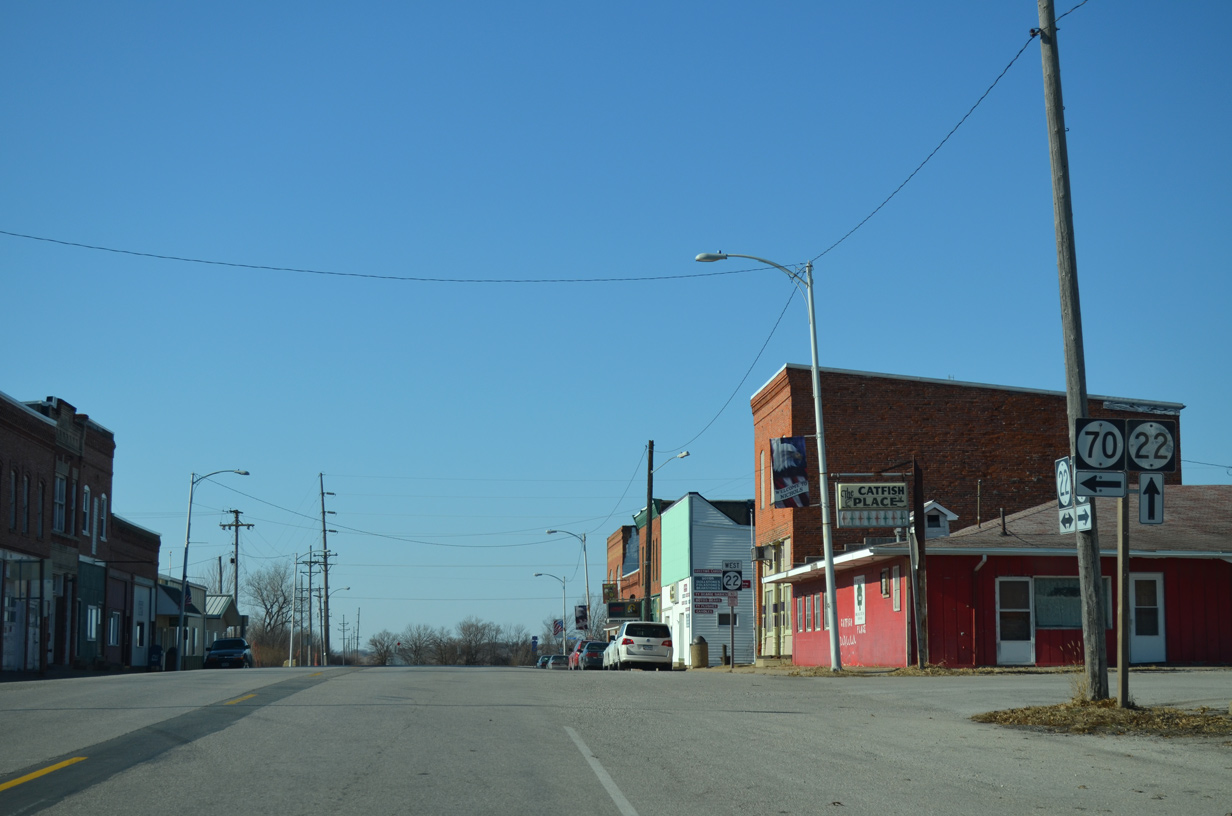
Entering the city limits of Nichols, Iowa 22/70 transition onto Ijem Avenue. Nichols, home to 374 as of the 2010 census, was named after Samuel Nichols, a railroad proponent and father of an early area settler.
12/31/14
Iowa 70 resumes a southward heading, paralleling Wapsinonoc Creek to Conesville and Columbus Junction.
12/31/14
West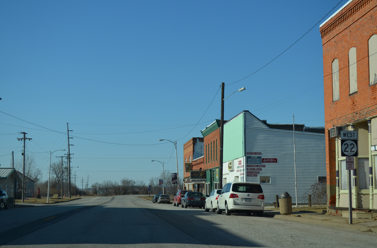
Iowa 22 (Ijem Avenue) quickly exits the city of Nichols beyond Iowa 70 (Main Street).
12/31/14
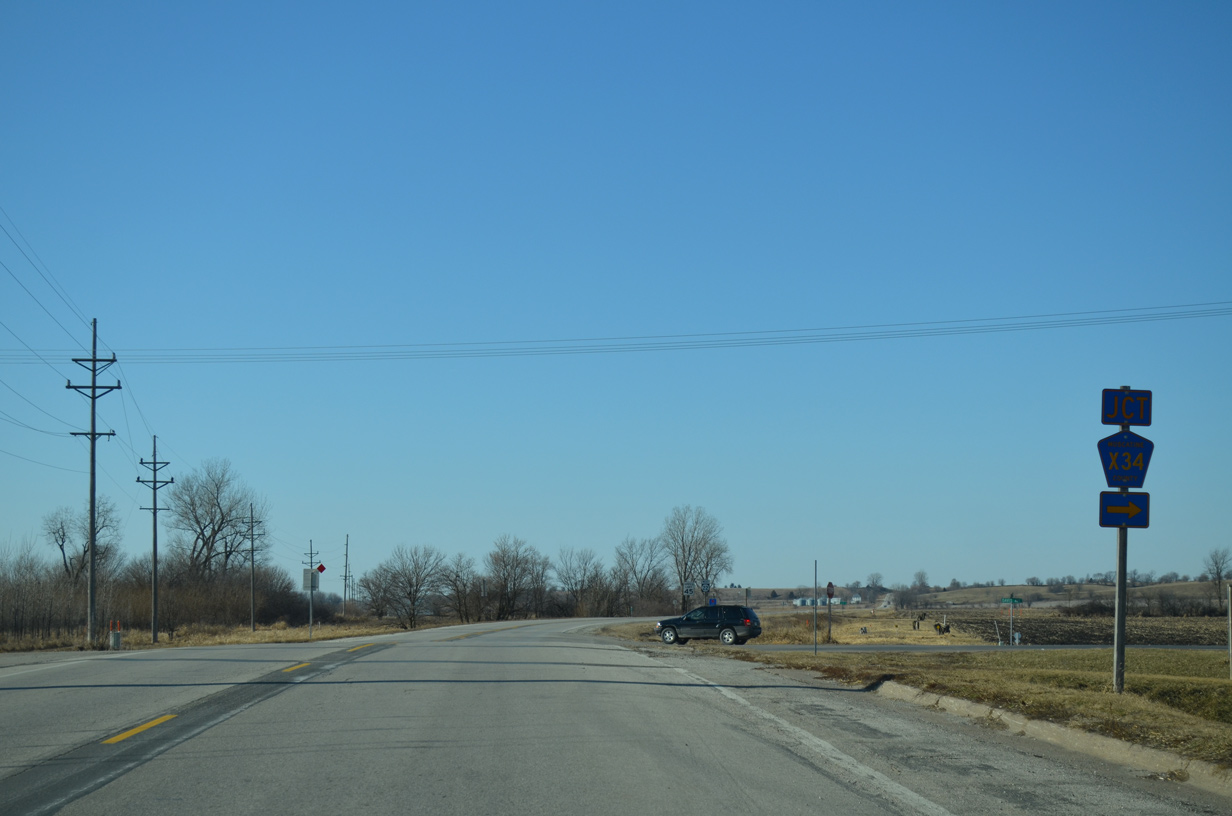
Muscatine County Road X34 (Davis Avenue) ventures north from Iowa 22 on the west side of Nichols to U.S. 6 and West Liberty.
12/31/14
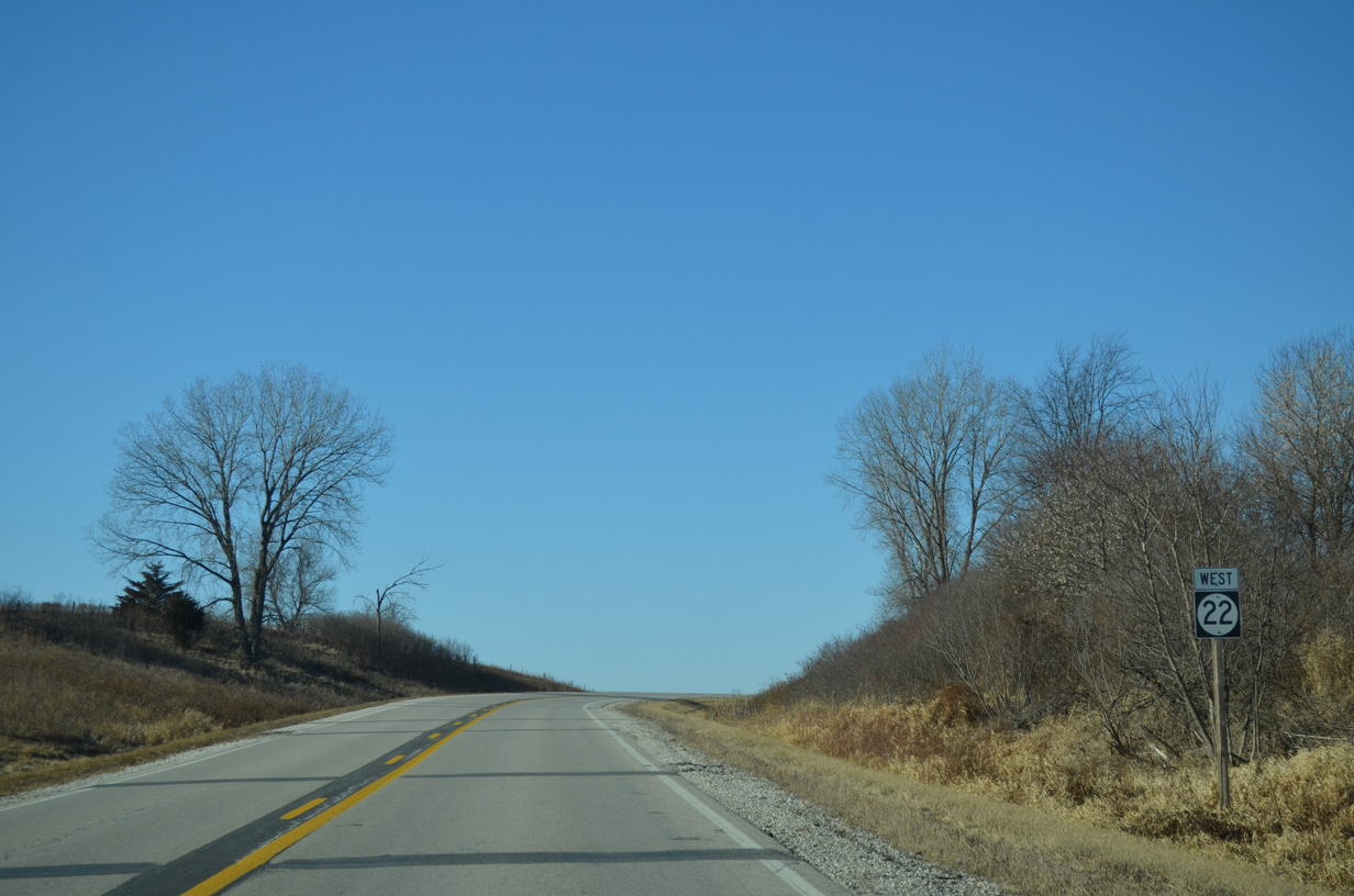
Iowa 22 shifts northward to a series of hills at 180th Street.
12/31/14
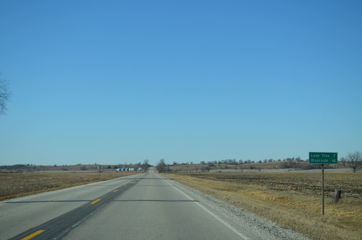
Lone Tree lies seven miles ahead as Riverside debuts on westbound distance signage at 14 miles out.
12/31/14
Reassurance marker for IA 22 west posted at the bluff line beyond 180th Street.
12/31/14
Muscatine County Road G20 trends southward to the county line, where it turns west along 660th Street SE to CR W66.
12/31/14

IA 22 bends back west beyond CR G20 at upcoming Bay Circle.
12/31/14
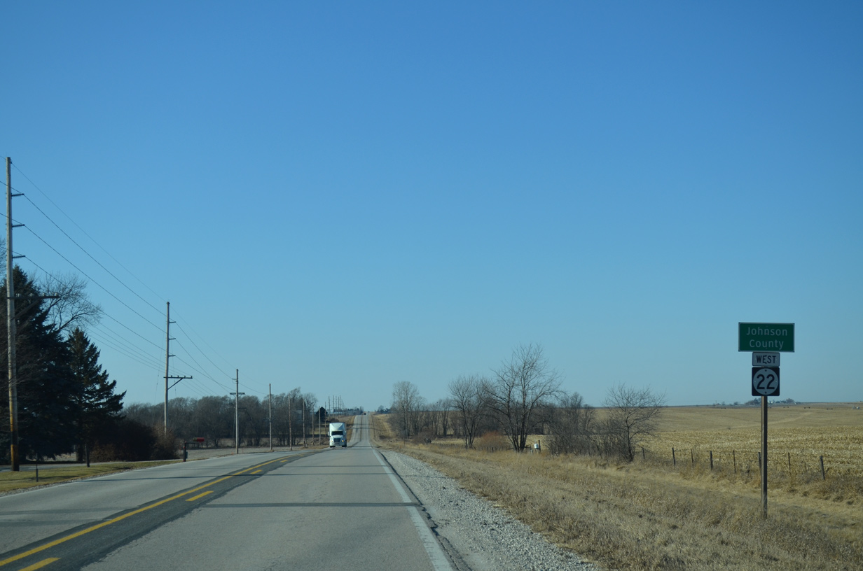
Crossing the Johnson County line on Iowa 22 west at Atwood Avenue.
12/31/14


Photo Credits:
- Alex Nitzman, Bill Gatchel: 03/25/16
- Alex Nitzman: 05/28/18
- Alex Nitzman, Scott Onson: 12/31/14
Connect with:
Page Updated Tuesday June 05, 2018.