
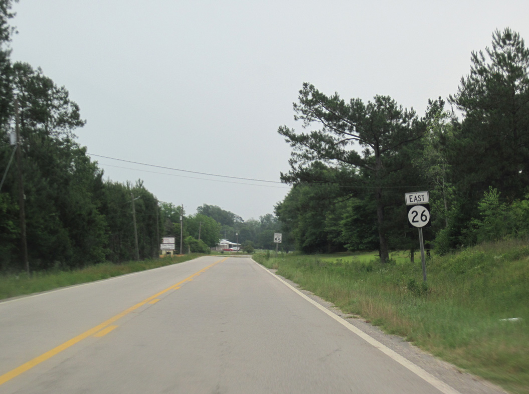
Highway 26 East

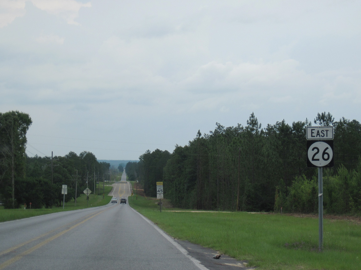
 East
East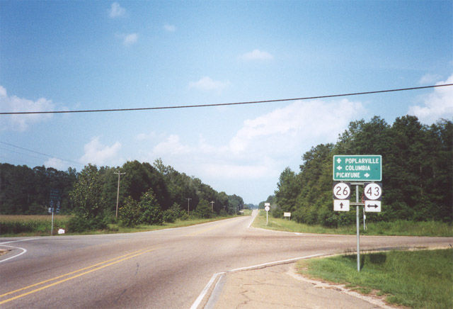
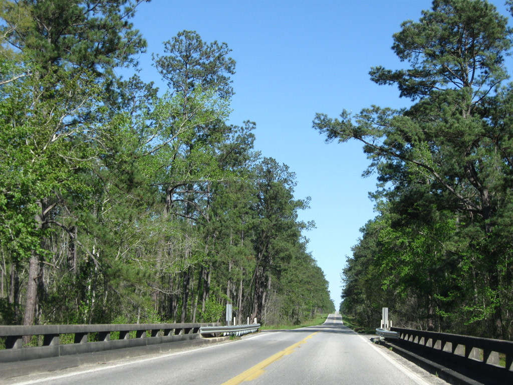
Navigating along a series of S-curves by Old River and Moodys Lake, MS 26 emerges from wetland areas along the Pearl River at MS 43 north of Crossroads. MS 43 parallels the Pearl River north to Columbia and south to Picayune.
07/22/01
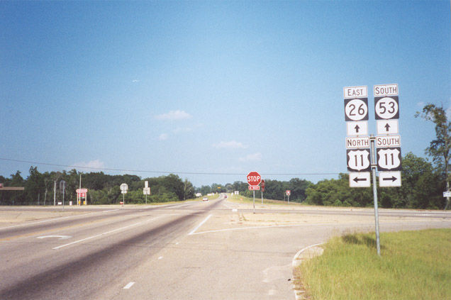
MS 26 bypasses Poplarville across the south side of the city. The old alignment followed North Street east into Downtown. MS 53 begins at the intersection of MS 26 and U.S. 11. The two state highways overlap 0.7 miles east to S Main Street.
07/22/01
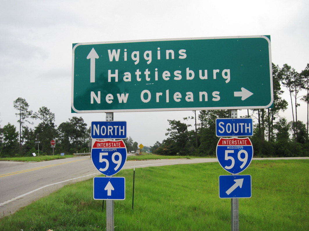
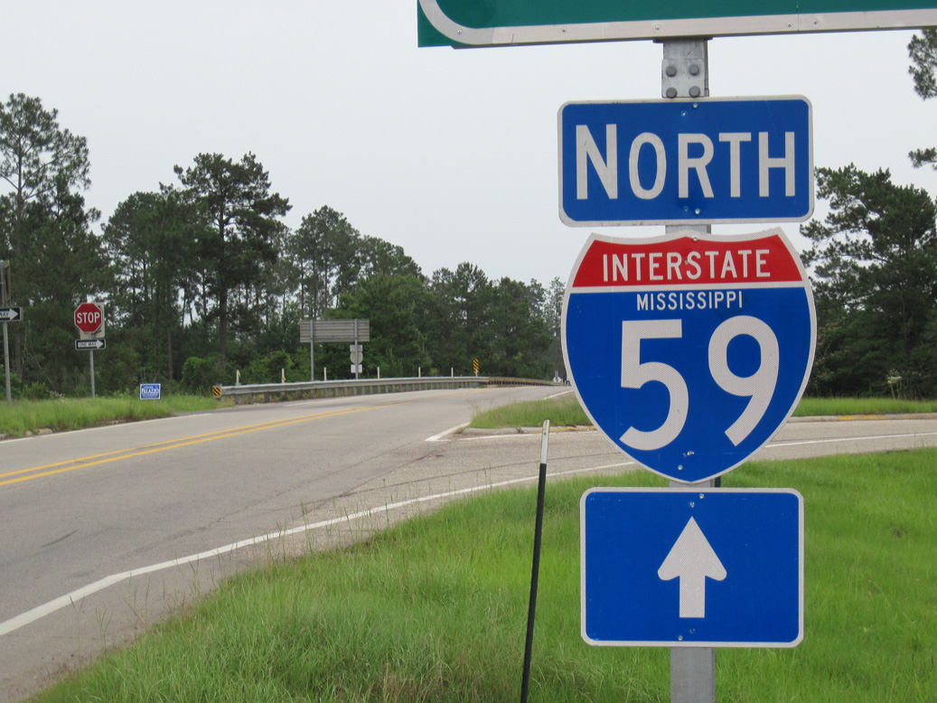
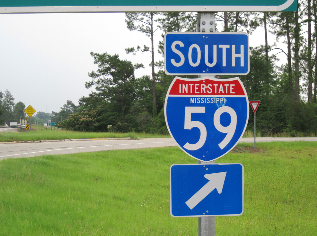
Advancing 2.1 miles east from MS 53 (Main Street), MS 26 meets Interstate 59 at a diamond interchange outside Poplarville. I-59 travels southwest to Picayune, Pearl River and Slidell, Louisiana.
06/02/10
Heading north from MS 26, Interstate 59 continues 29.4 miles to combine with U.S. 98 west around the west side of Hattiesburg.
06/02/10
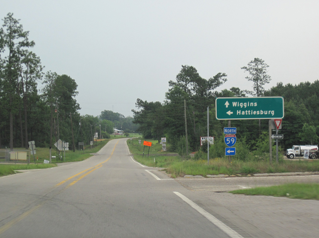
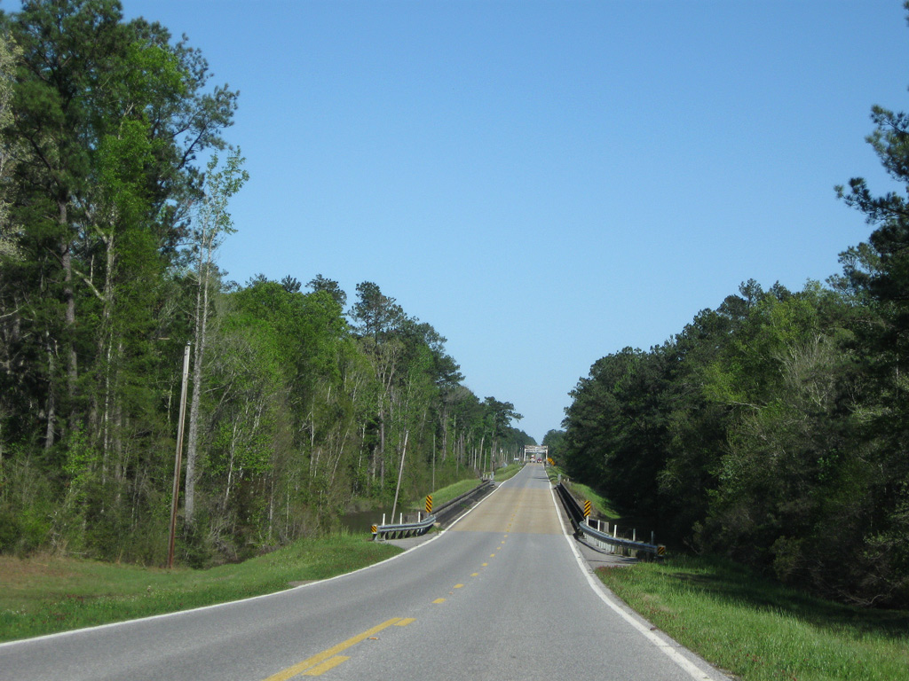
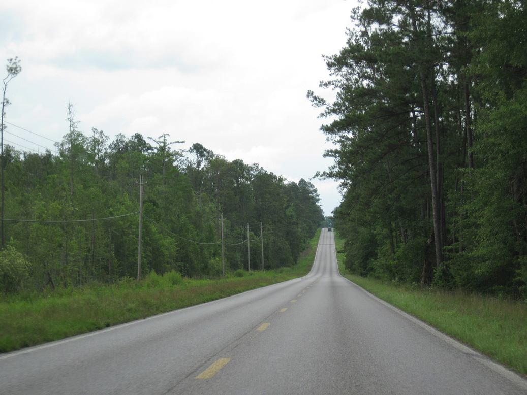
Leaving the exchange with I-59, Mississippi 26 traverses mostly undeveloped timber land 20 miles to the city of Wiggins.
06/02/10
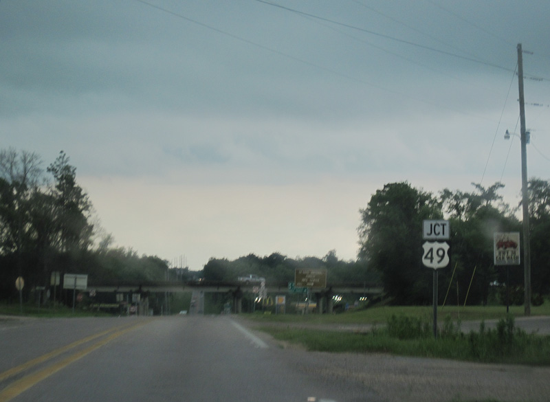
Entering the Stone County seat of Wiggins, MS 26 converges with U.S. 49 (Azalea Drive) at a diamond interchange.
06/02/10
U.S. 49 bypasses Wiggins to the west along a controlled access arterial south to Saucier and Gulfport.
06/02/10

Built in 1965, the overpasses taking U.S. 49 (Azalea Drive) over Mississippi 26 can accommodate four lane expansion of the state route. U.S. 49 concludes 34.5 miles to the south at U.S. 90 off the waters of Mississippi Sound.
07/22/01
U.S. 49 (Azalea Drive) heads 28.4 miles north to U.S. 98 at the city of Hattiesburg.
06/02/10
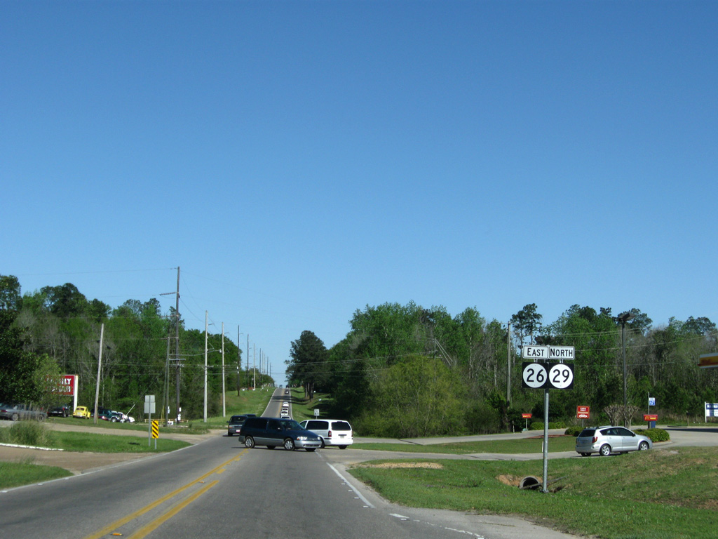
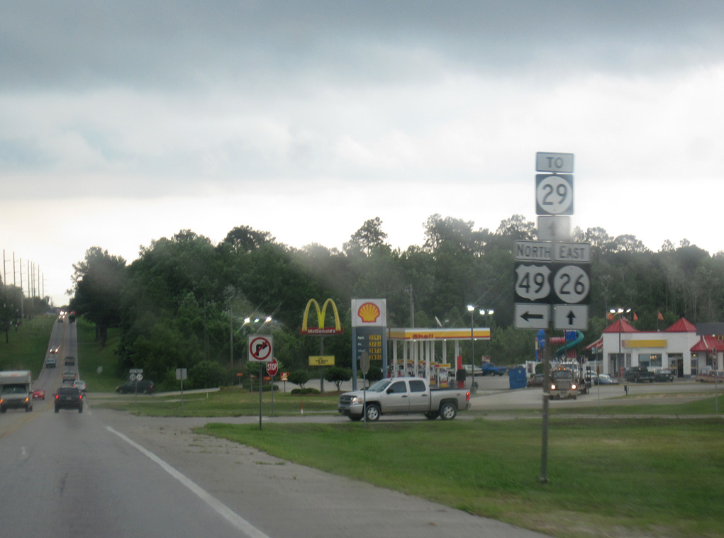
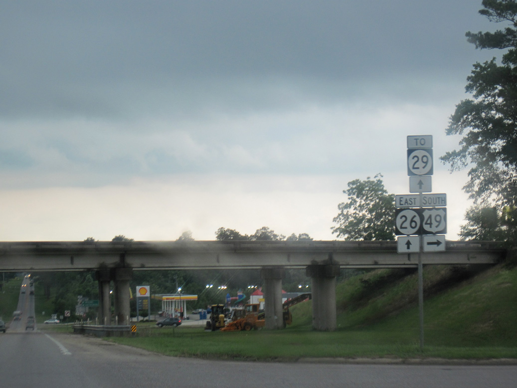
MS 29 begins at U.S. 49 and overlaps with MS 26 (Central Avenue) east one mile to Magnolia Drive in Wiggins.
03/29/09
MS 29 north splits with MS 26 (Central Avenue) east at a grade separated intersection with Magnolia Drive (old U.S. 49) south of Downtown Wiggins.
03/29/09

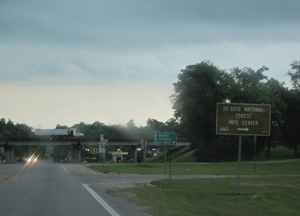
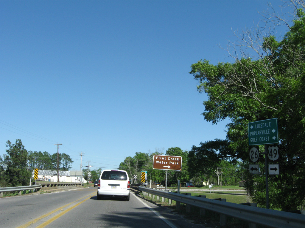
Magnolia Drive leads MS 29 north from a loop ramp at MS 26, 0.75 miles through Downtown Wiggins to Hatten Avenue east. MS 29 angles northeast along Parkway Drive from Wiggins to Flint Creek Water Park and De Soto National Forest.
03/29/09
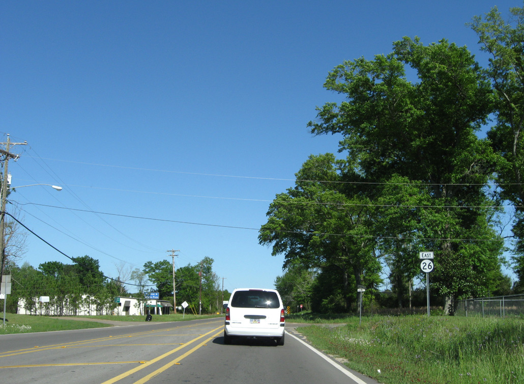
MS 26 east confirming marker posted after the separation with MS 29 and the at-grade crossing with the Kansas City Southern Railroad line along Central Avenue.
03/29/09

Curving southeast from Iowa Street, MS 26 (Central Avenue) intersects Stapp Street by this distance sign 33 miles from Lucedale.
03/29/09

MS 26 crosses Flint Creek on a bridge built in 1952.
03/29/09
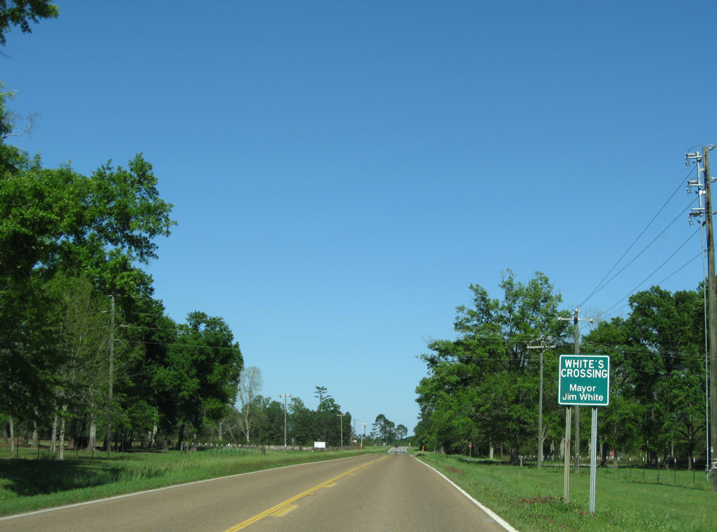
Big Four Road south and City Bridge Road north come together at the settlement of Whites Crossing along Mississippi 26 east.
03/29/09
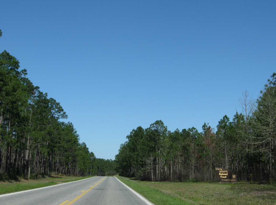
Mississippi 26 enters DeSoto National Forest just east of Whites Crossing.
03/29/09
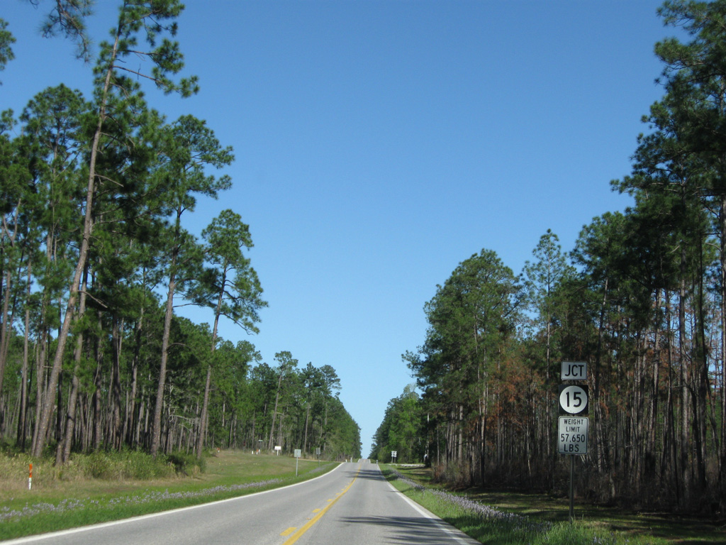
Advancing east through DeSoto National Forest, MS 26 intersects the north end of the southern segment of MS 15 at Moore Crossing.
03/29/09
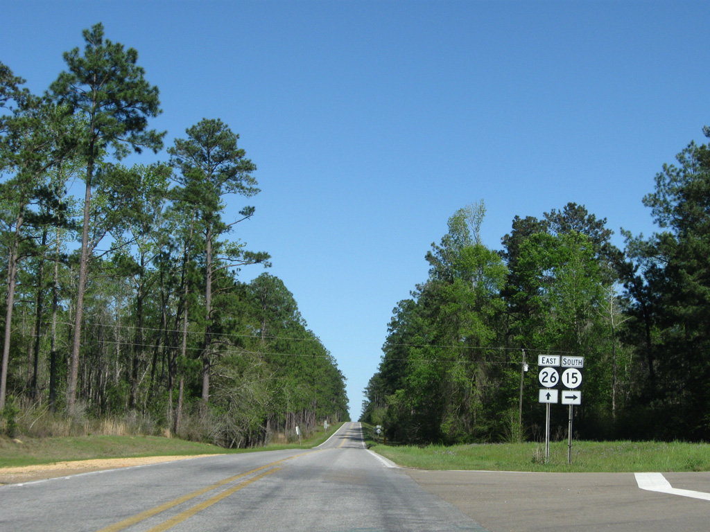
The southern section of MS 15 travels mostly through DeSoto National Forest along a 30.6 mile course to MS 67 at D'Iberville. The northern section originates from U.S. 98 at Beaumont.
03/29/09
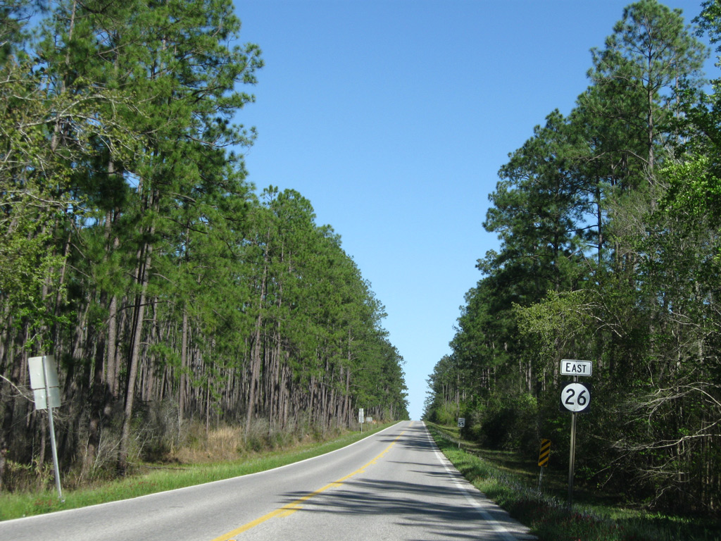
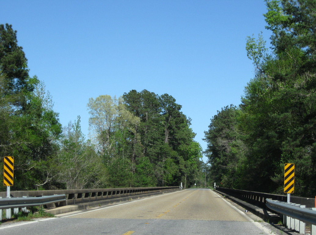
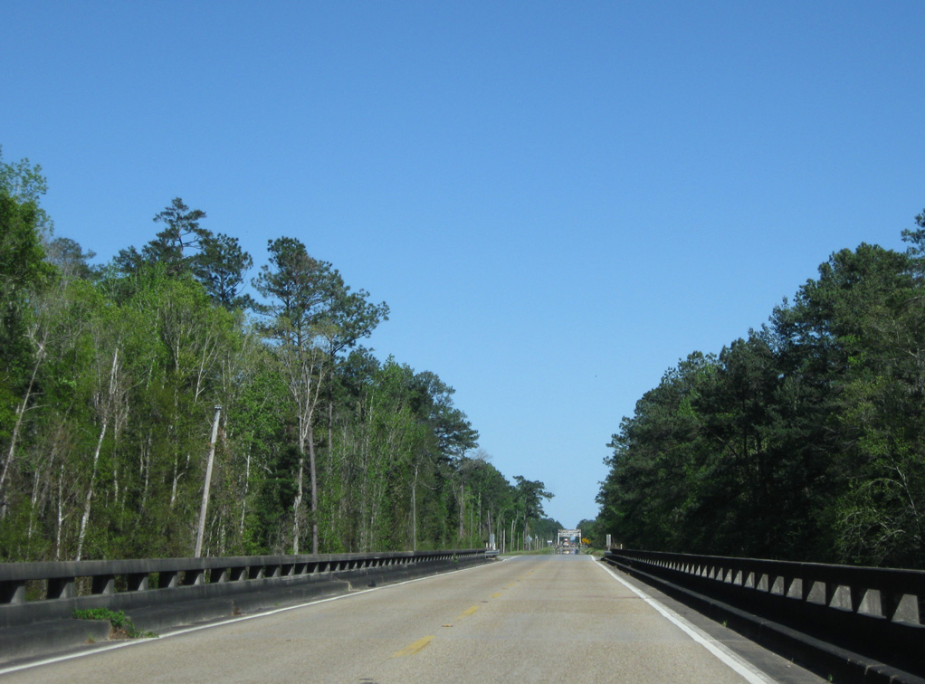
Continuing east from MS 15 and Melton Hatten Road north, MS 26 plies across national forest land to the George County line.
03/29/09
Shifting slightly southward, MS 26 crosses Bluff Creek on a 1948-built span.
03/29/09
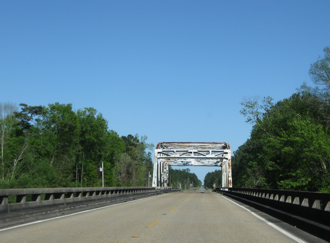
Lowering 98 feet in elevation from New Zion Road, eastbound MS 26 crosses a relief bridge for Black Creek.
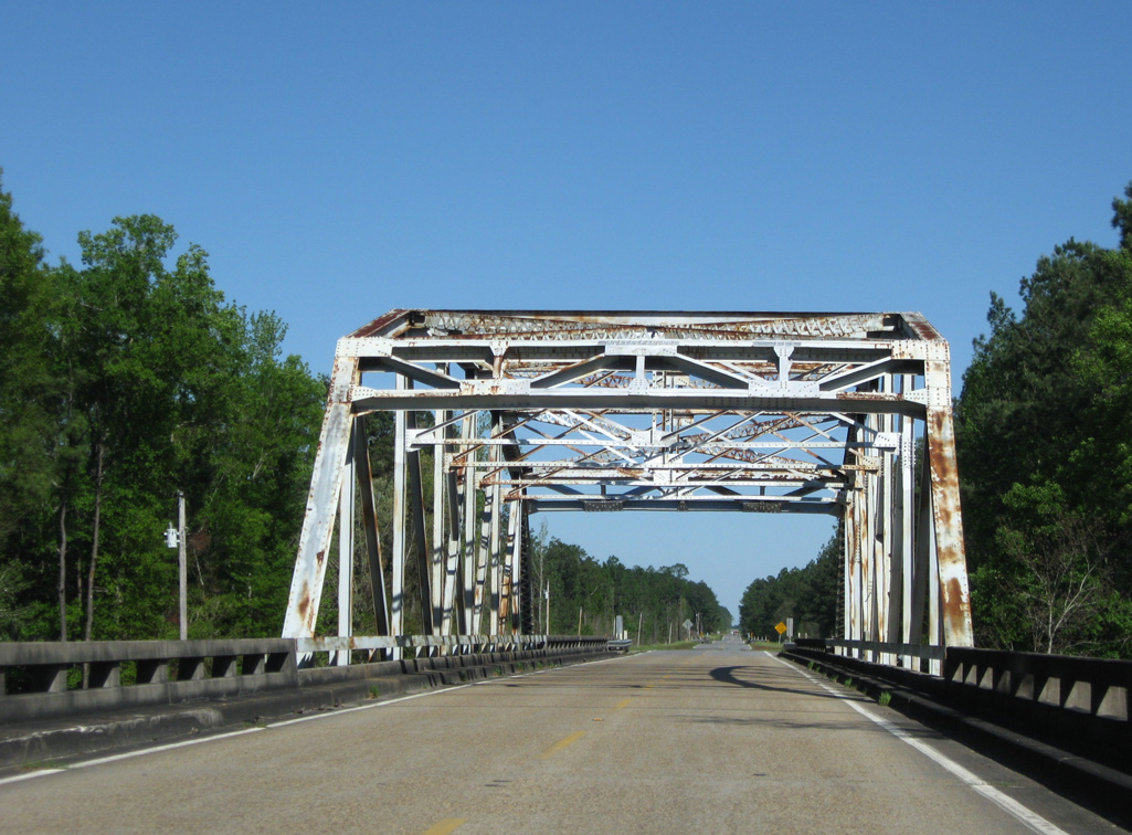
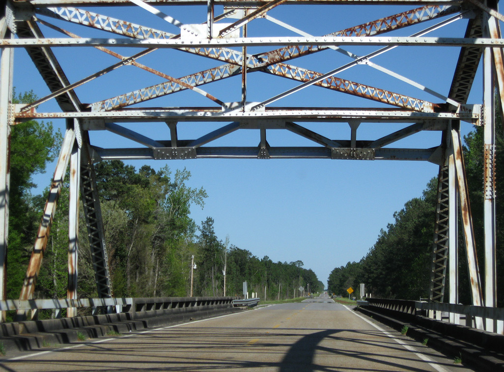
03/29/09
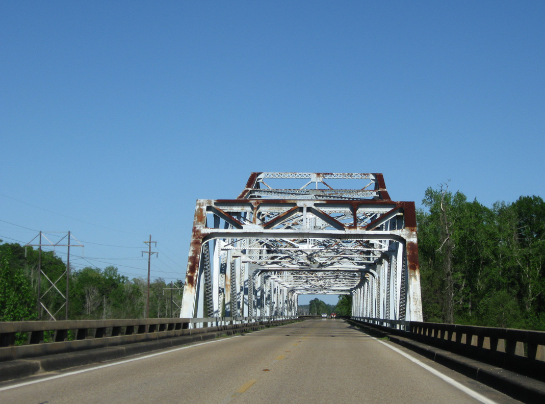
A camelback through truss bridge crosses Black Creek along MS 26 in DeSoto National Forest. The 831.1 foot long span was built in 1948.1
03/29/09
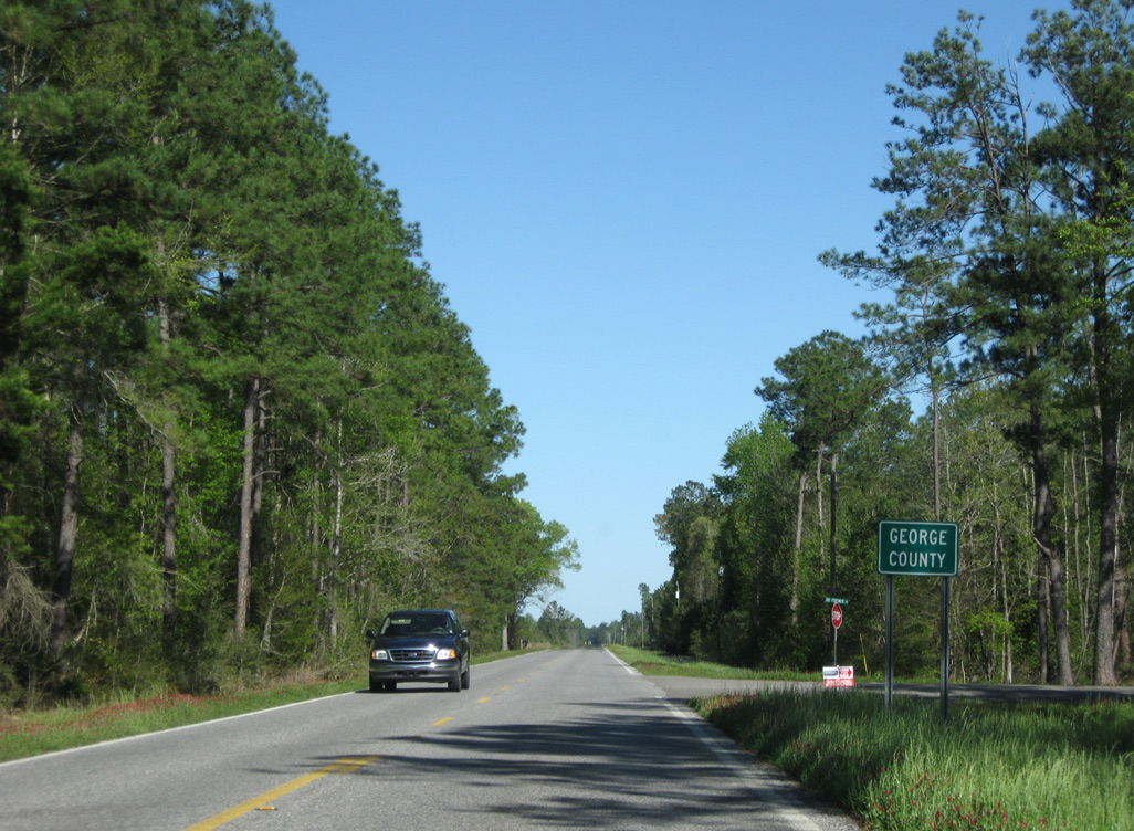
Eastbound MS 26 enters George County 1.75 miles east of Black Creek at Joe Fortner Road.
03/29/09
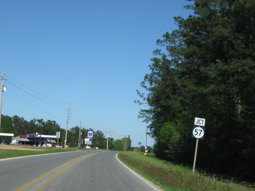
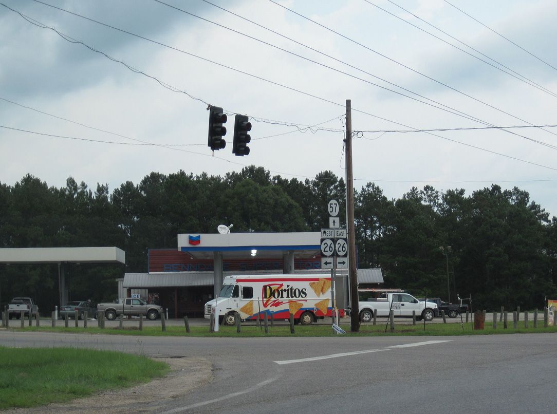
MS 26 rises to 169 feet above sea level at the upcoming traffic light with MS 57. The bluffs rise west of the Pascagoula River.
03/29/09
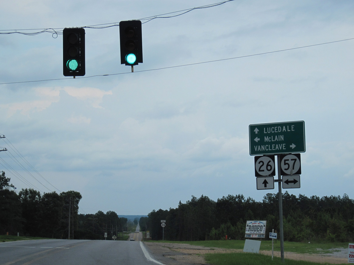
Highway 57 parallels the Pascagoula River to the west along a rural course south from MS 26 at Benndale to Vancleave, Mississippi Sandhill Crane National Wildlife Refuge and Interstate 10. Northward the state highway extends into DeSoto National Forest and U.S. 98 at the town of McLain.
06/02/10
Continuing beyond MS 57, MS 26 lowers 108 feet to the Pascagoula River.
06/02/10
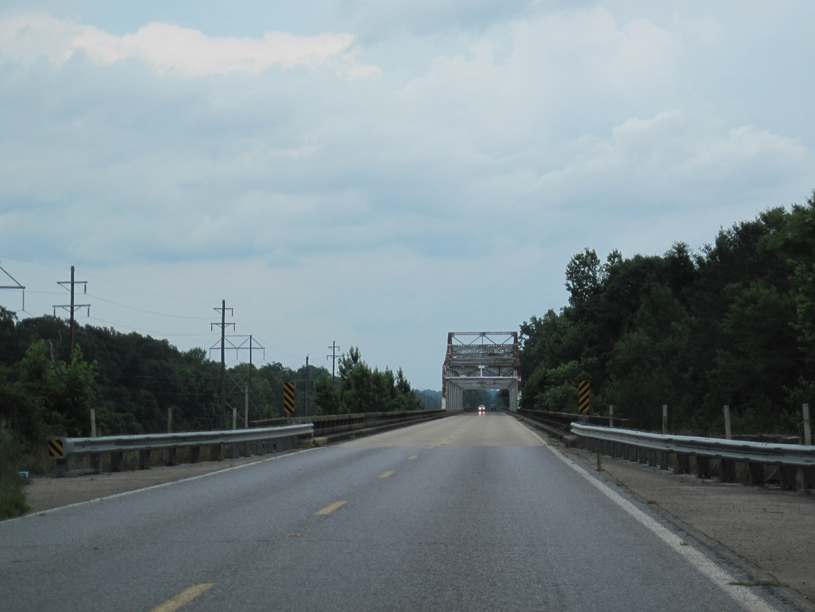
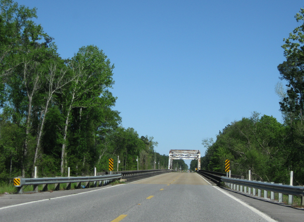
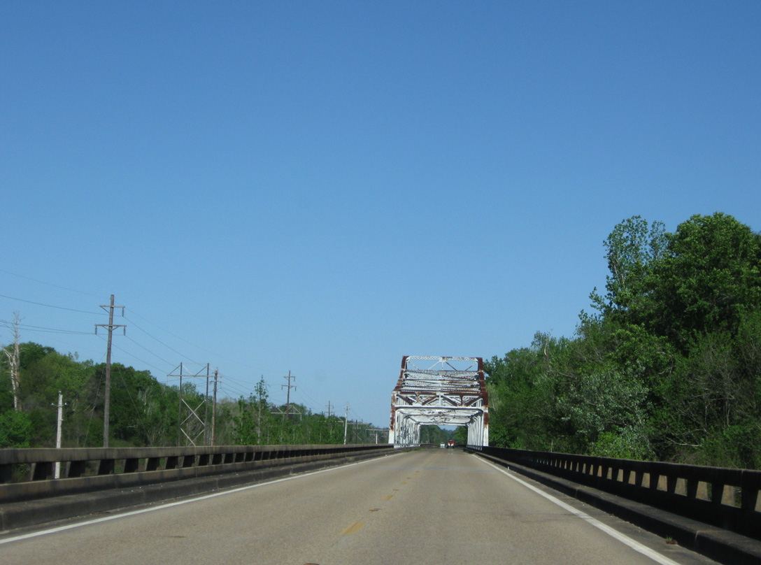
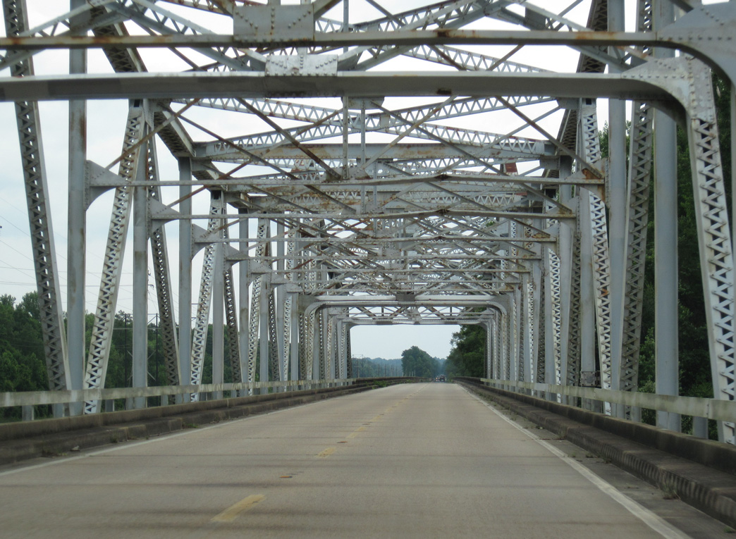
A cantilevered Warren through truss bridge carries traffic along Mississippi 26 over the Pascagoula River.
06/02/10
03/29/09
The Pascagoula River bridge along MS 26 measures 5,531.7 feet in length and was built in 1948.2
03/29/09
06/02/10
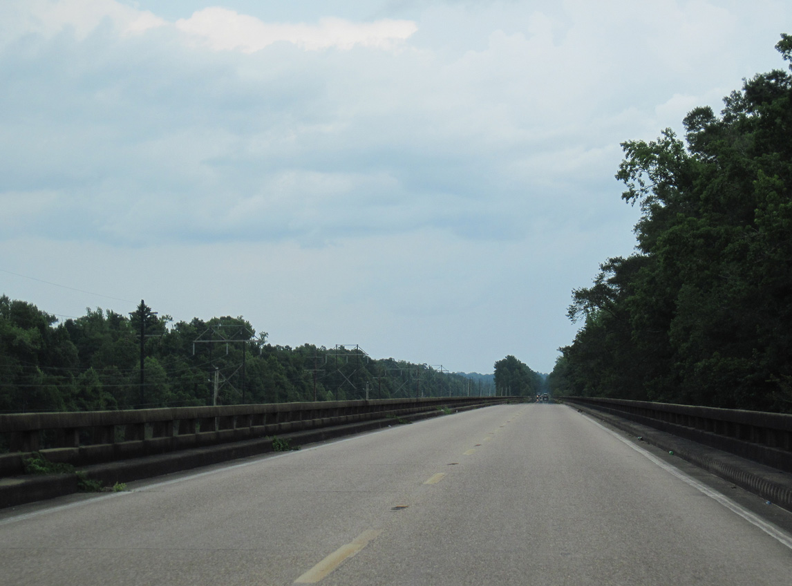
Located north of the Riverview Estates community, the MS 26 Pascagoula River bridge extends east over wetland areas north of Hutson Lake.
06/02/10
A flood relief bridge follows to the east of Hutson Lake on Mississippi 26.
03/29/09
Heading east through Pascagoula River State Wildlife Management Area, Mississippi 26 rises 100 feet along bluffs to the settlement of Crossroads.
06/02/10
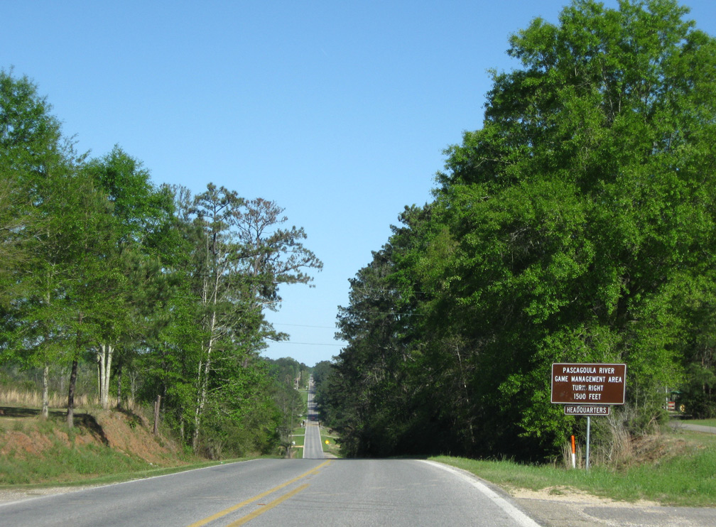
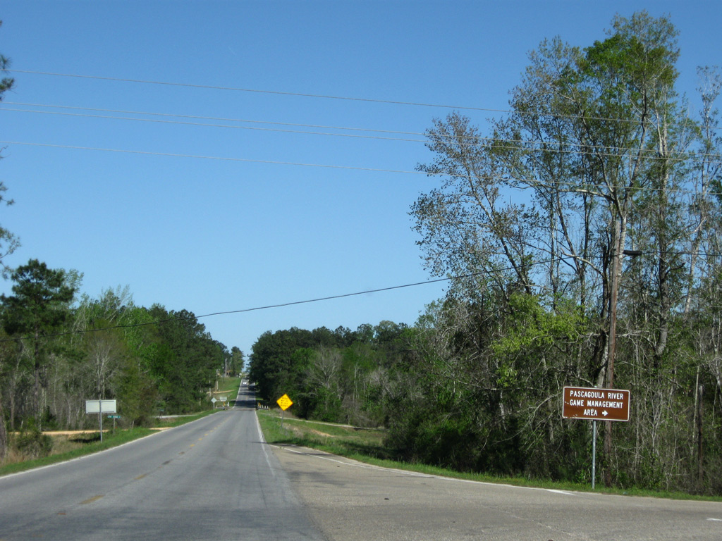
River Road stems south from MS 26 into Pascagoula River Game Management Area between Crossroads and Big Creek.
03/29/09
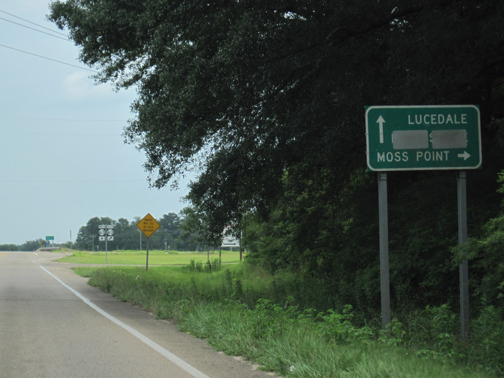
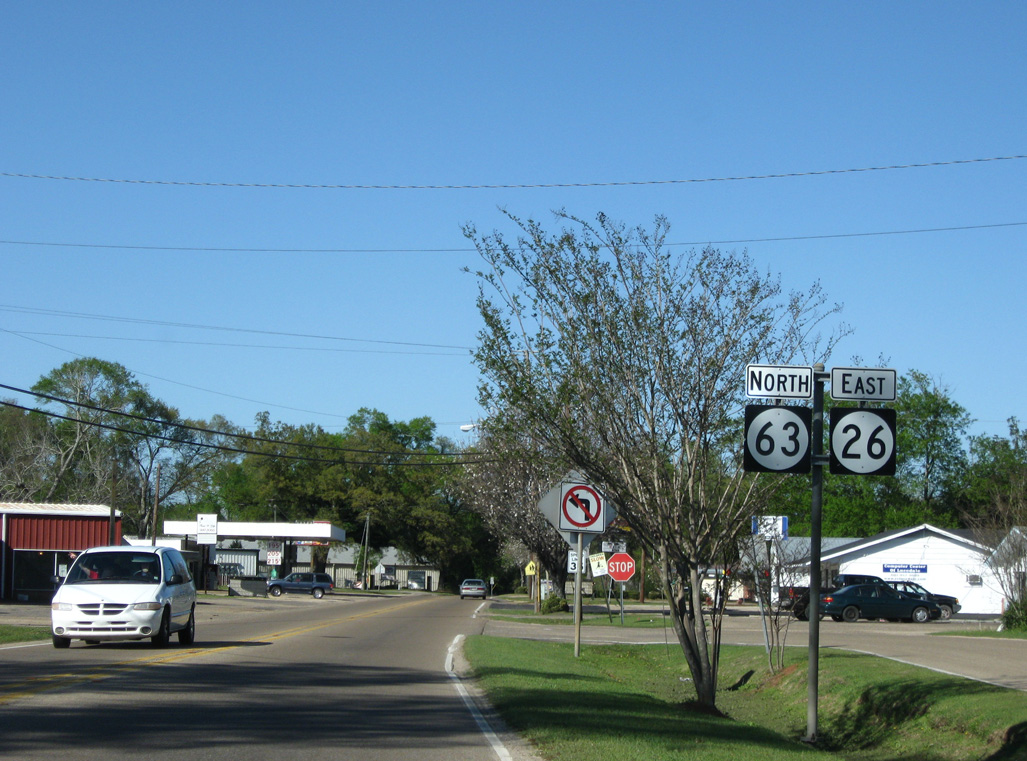
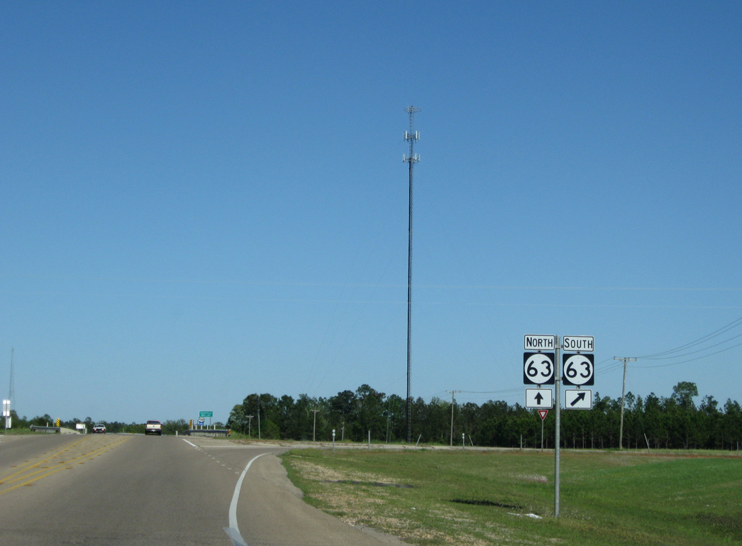
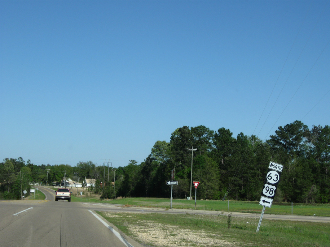
MS 26 enters a diamond interchange with MS 63 to the southwest of Lucedale. MS 63 bypasses the George County seat along a four lane expressway north to U.S. 98 and Leakesville and south toward Moss Point.
06/02/10
03/29/09
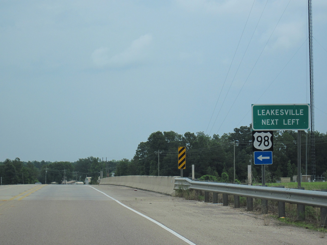
MS 63 was realigned onto a new four lane highway north from U.S. 98 to MS 57 near Leakesville on August 22, 2011. The four lane corridor extends north along MS 57 to U.S. 45 at State Line.
06/02/10
03/29/09
The final 2.9 miles of MS 26 leading into Lucedale is locally maintained by George County and the city of Lucedale. Maintenance changed following completion of the Lucedale bypass for MS 63 in November 2000.3
03/29/09
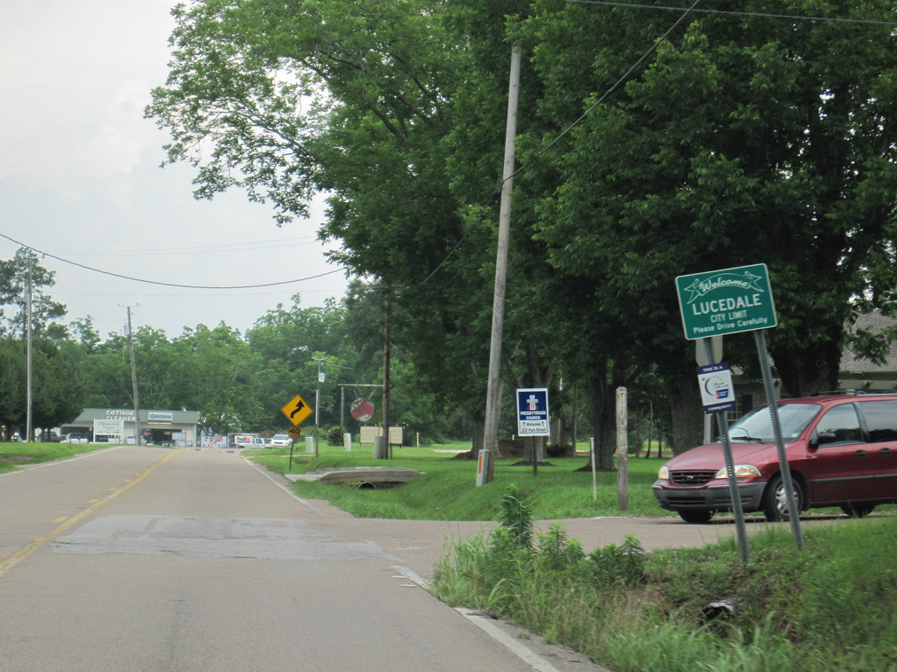
MS 26 crosses the Lucedale city line eastbound at the intersection with Scott Road east and Twin Creek Road south.
06/02/10
Angling northeast, MS 26 converges with Old Highway 63 along a commercial strip.
03/29/09
Reassurance markers still acknowledged the overlap of MS 26 east / MS 63 north beyond their former overlap. These were still posted in 2016.
03/29/09
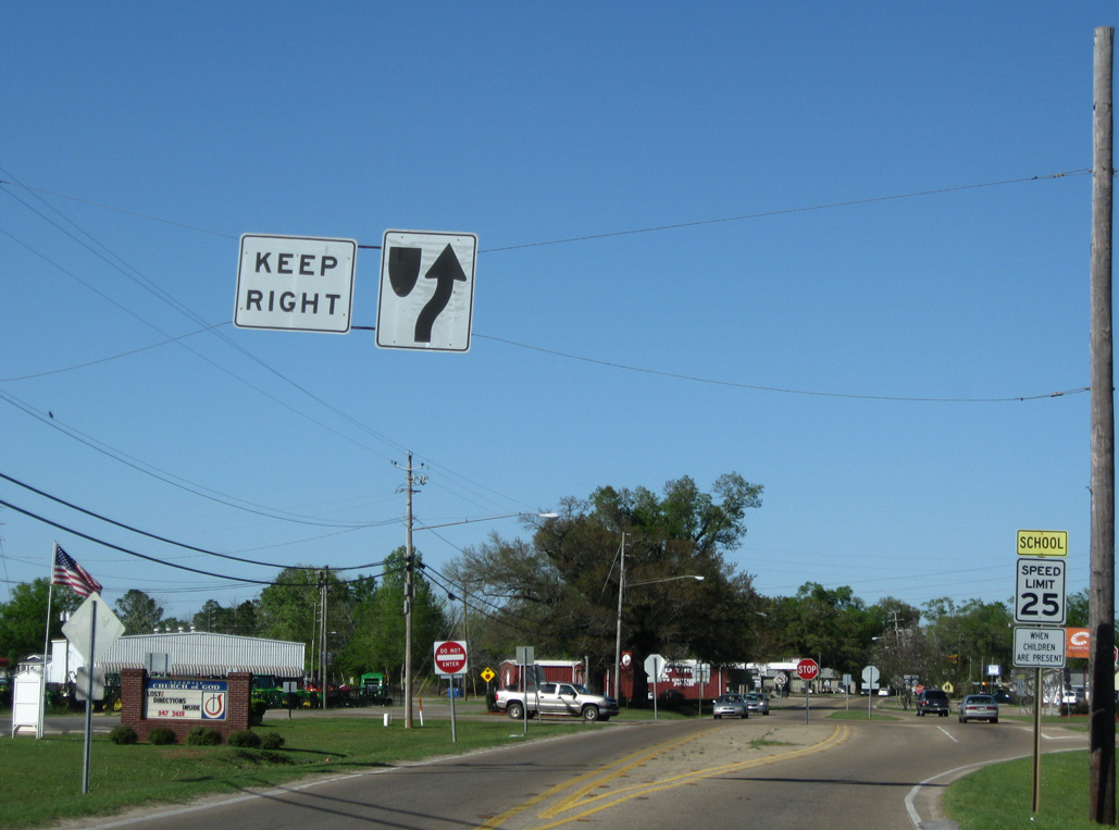
Winter Street leads MS 26 north toward Downtown Lucedale. Traffic signals operate at Church Street.
03/29/09
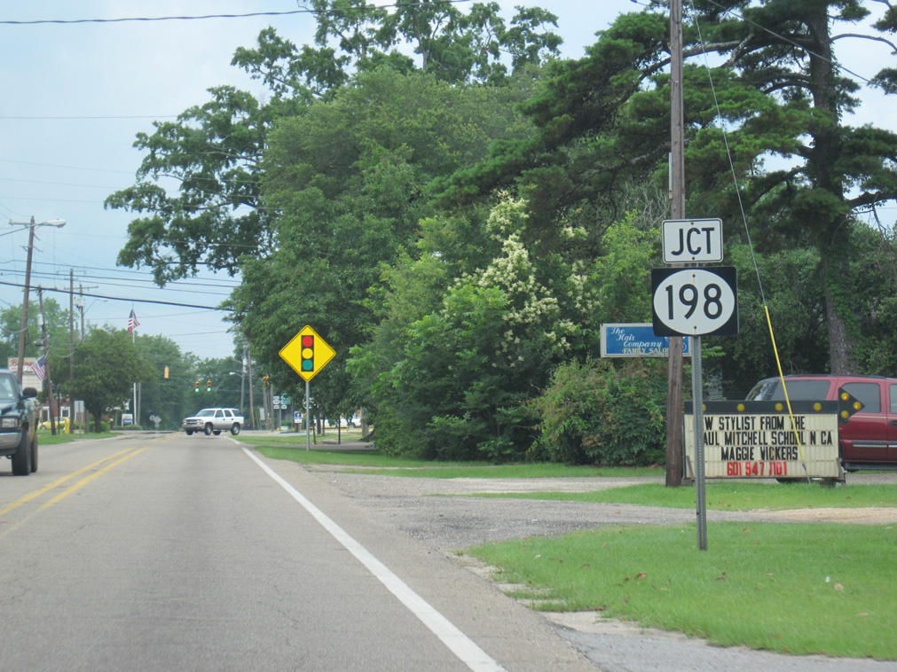
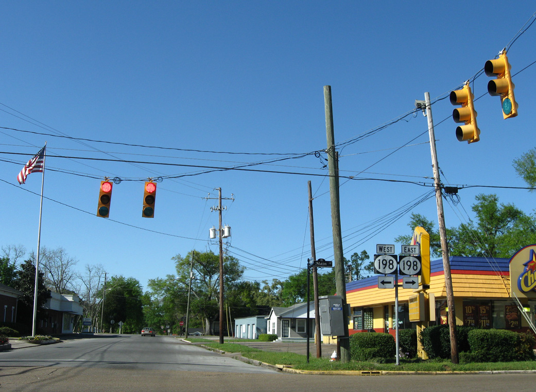
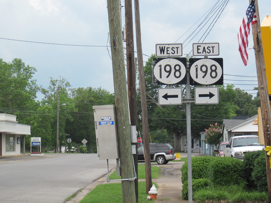
MS 26 concludes at MS 198 (Main Street) in the Lucedale business district. Winter Street extends three blocks further north to Pine Street.
06/02/10
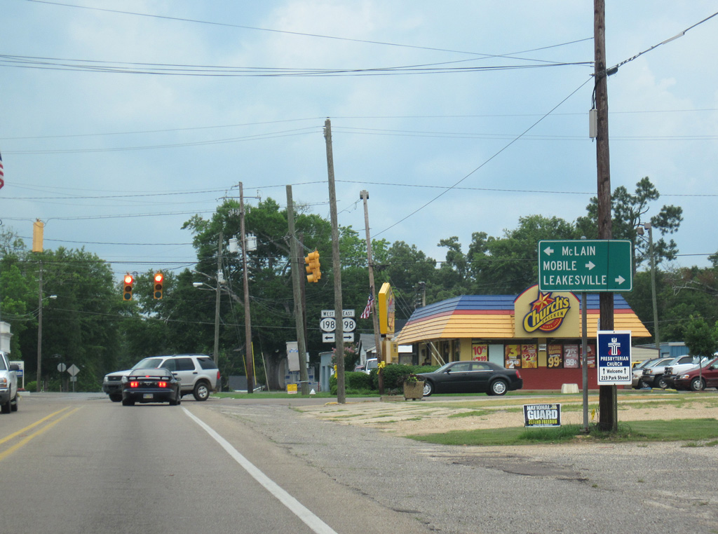
MS 198 (Main Street) follows the old alignment of U.S. 98 through Lucedale. U.S. 98 bypasses Lucedale to the north between McLain and Mobile, Alabama. Leakesville references the continuation of old MS 63 north from MS 198 at Evanston Road.
06/02/10
MS 198 (Main Street) loops 9.5 miles through Lucedale between U.S. 98 at C.F. Eubanks Road to the west and Rocky Creek Road to the east.
03/29/09
06/02/10
References:
- SR 26 over BLACK CREEK, Stone County, Mississippi. http://bridgereports.com/1300734 BridgeReports.com
- Pascagoula River MS 26 Bridge. http://bridgehunter.com/ms/george/310002602006520/ Bridgehunter.com
- "George County, Lucedale Must Take Over Highway." Sun Herald (Biloxi, MS), December 15, 2000.
Photo Credits:
- Alex Nitzman: 07/22/01
- AARoads: 06/02/10
- ABRoads: 03/29/09
Connect with:
Page Updated Tuesday March 26, 2019.