
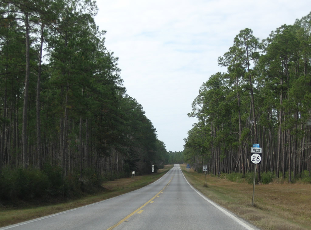
Highway 26 West

 West
West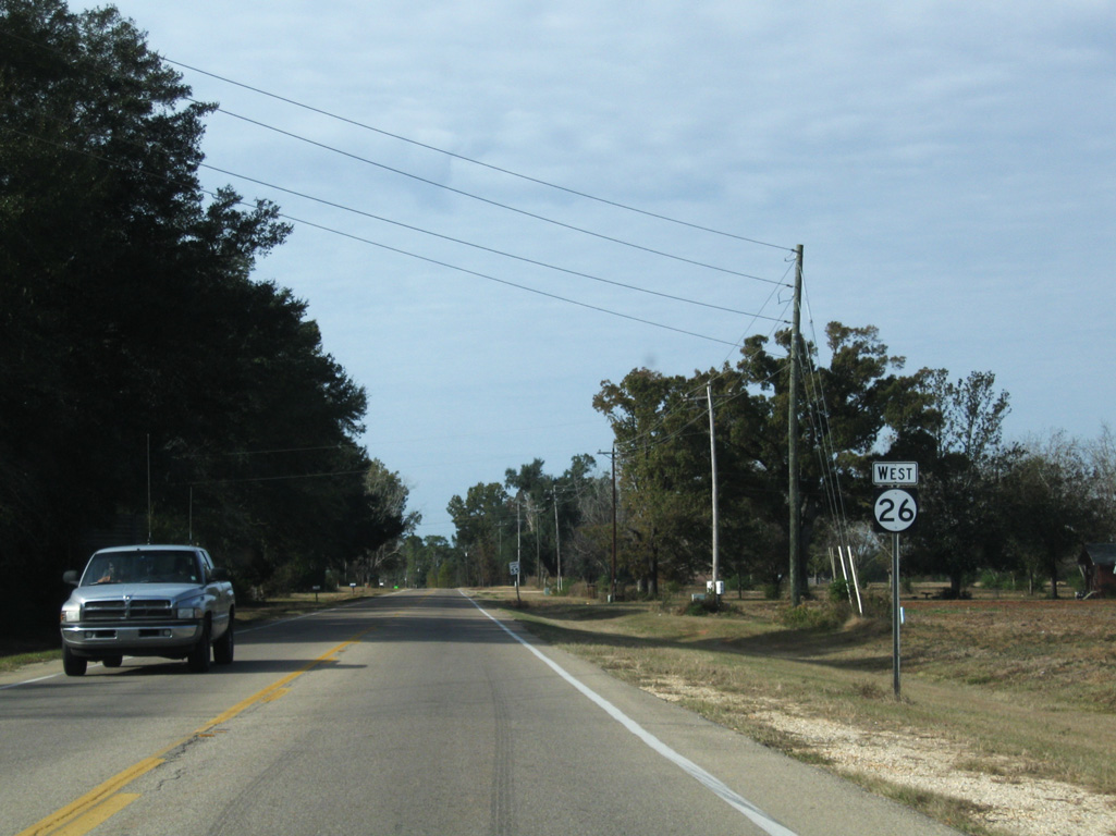
Confirming marker posted westbound after the diamond interchange with the MS 63 expressway outside Lucedale.
11/23/08
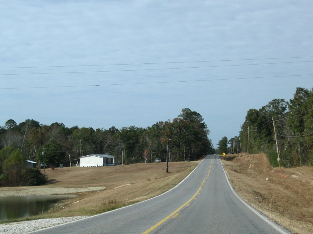
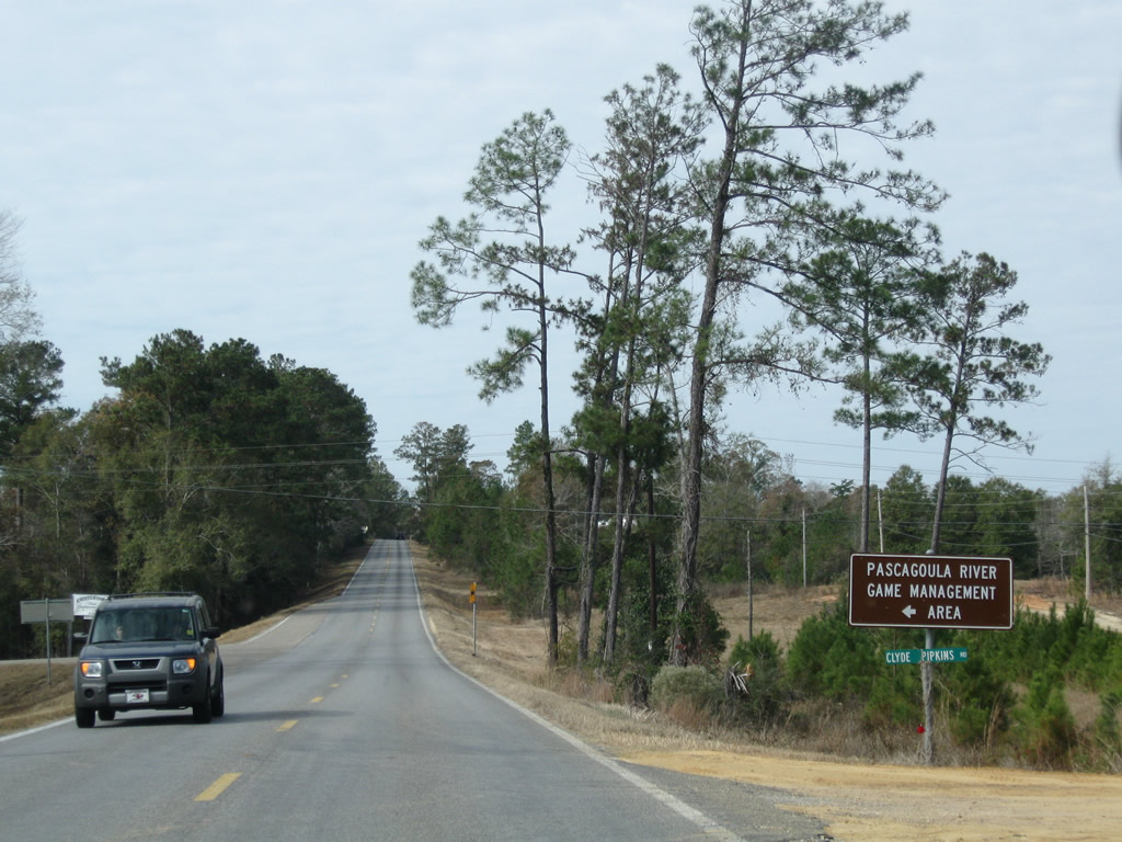
Leading away from Lucedale, MS 26 passes by a handful of residential streets preceding Pascagoula River State Wildlife Management Area.
11/23/08
MS 26 crosses Big Creek ahead of the turn off for River Road south to Pascagoula River Game Management Area.
11/23/08
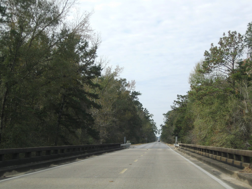
A series of bluffs rise west of Big Creek. MS 26 gains 92 feet in elevation from Big Creek to John Moody Road at the settlement of Crossroads.
11/23/08
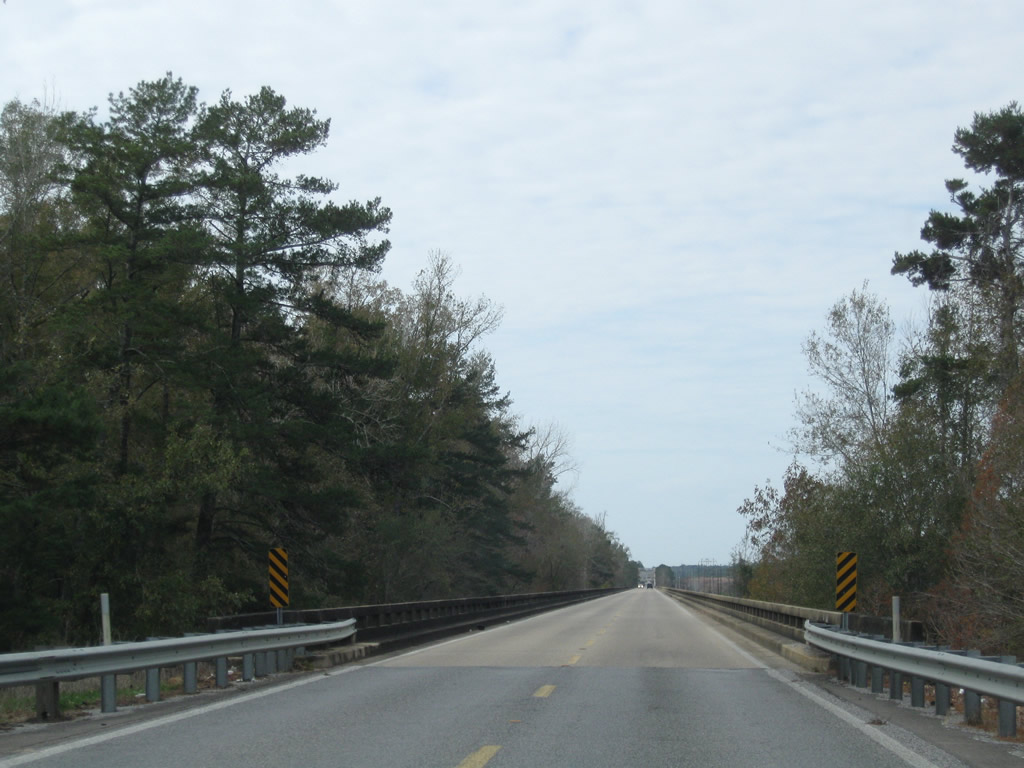
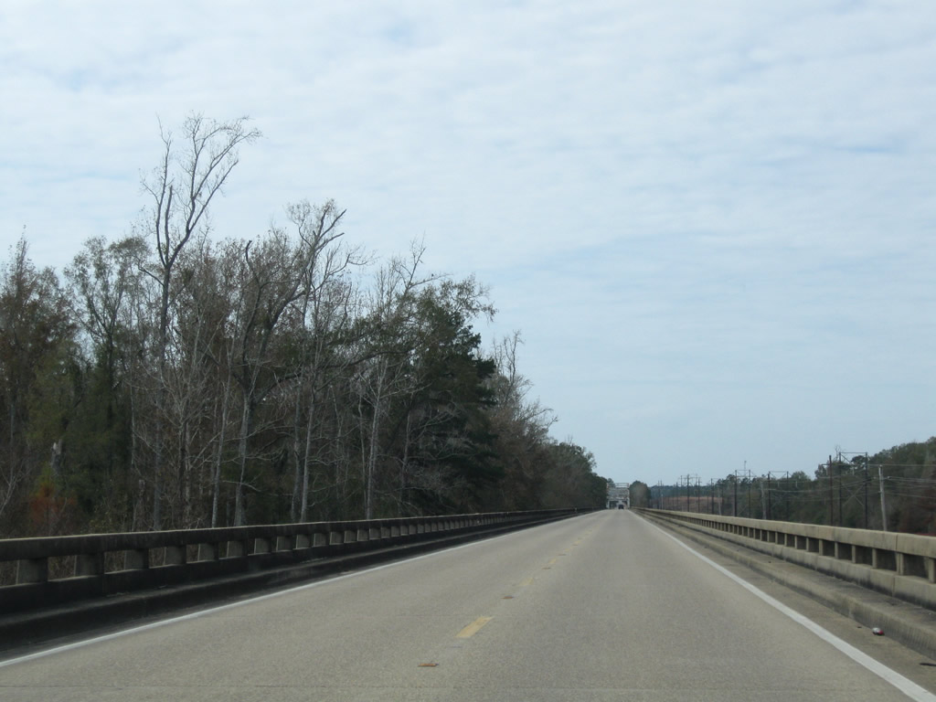
Traversing wetland areas, MS 26 spans a flood relief bridge midway between Crossroads and the Pascagoula River.
11/23/08
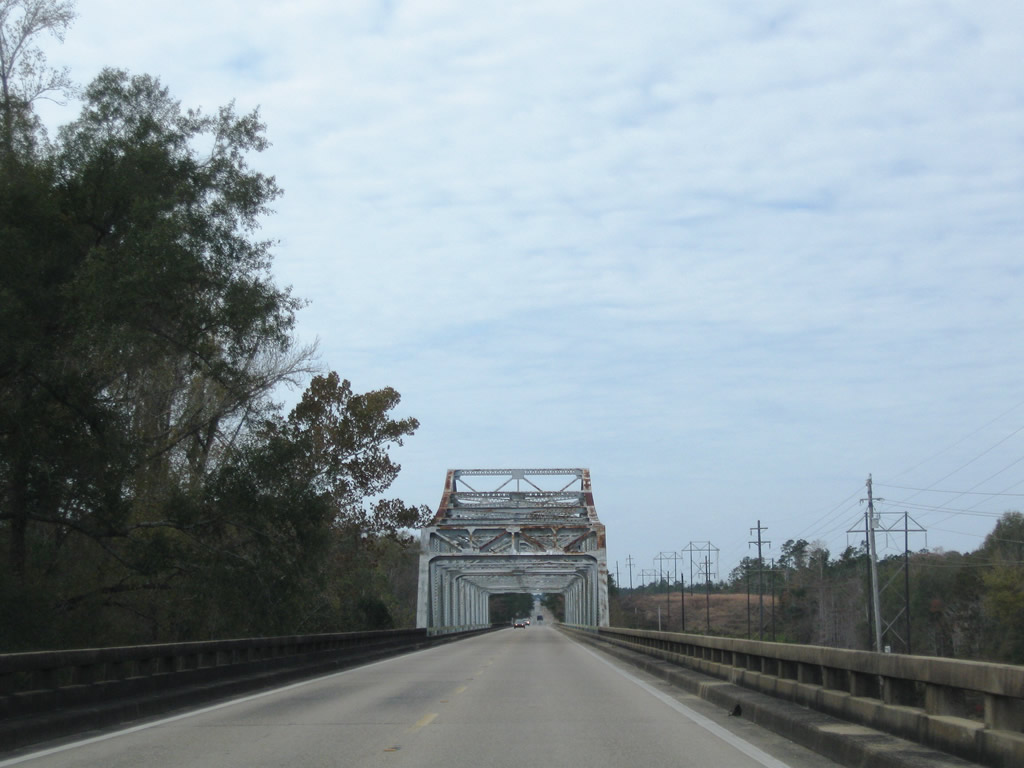
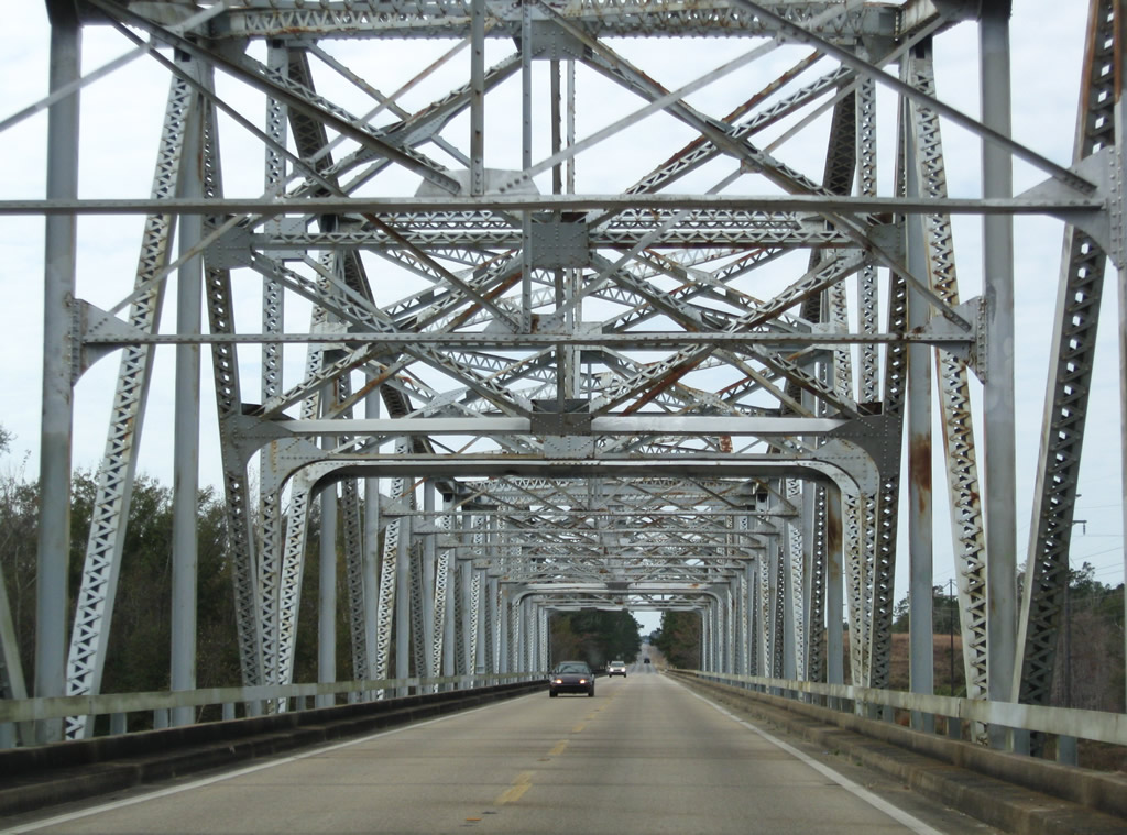
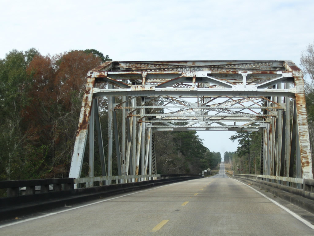
Completed in 1948, the Highway 26 bridge spanning the Pascagoula River extends 5,531.7 feet.2
11/23/08
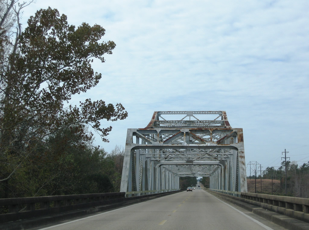
The cantilevered Warren through truss bridge across the Pascagoula River accommodates two lanes of traffic across a 25.9 foot wide deck. The superstructure provides a 14.8 foot vertical clearance.2
11/23/08
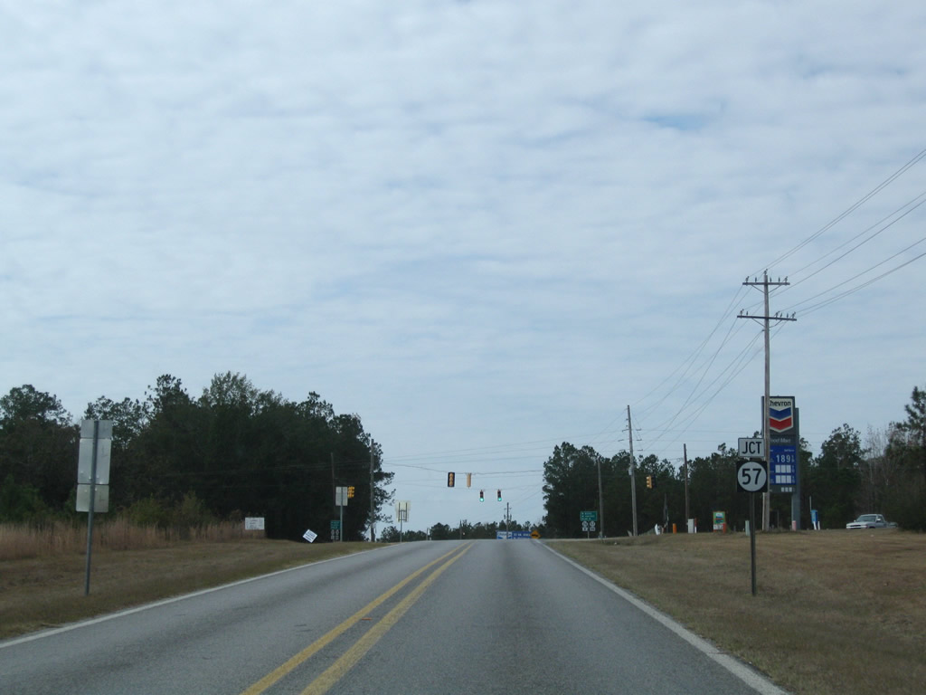
Advancing two miles from the Pascagoula River, MS 26 climbs onto a series of bluffs west to a signalized intersection with MS 57 at Benndale.
11/23/08
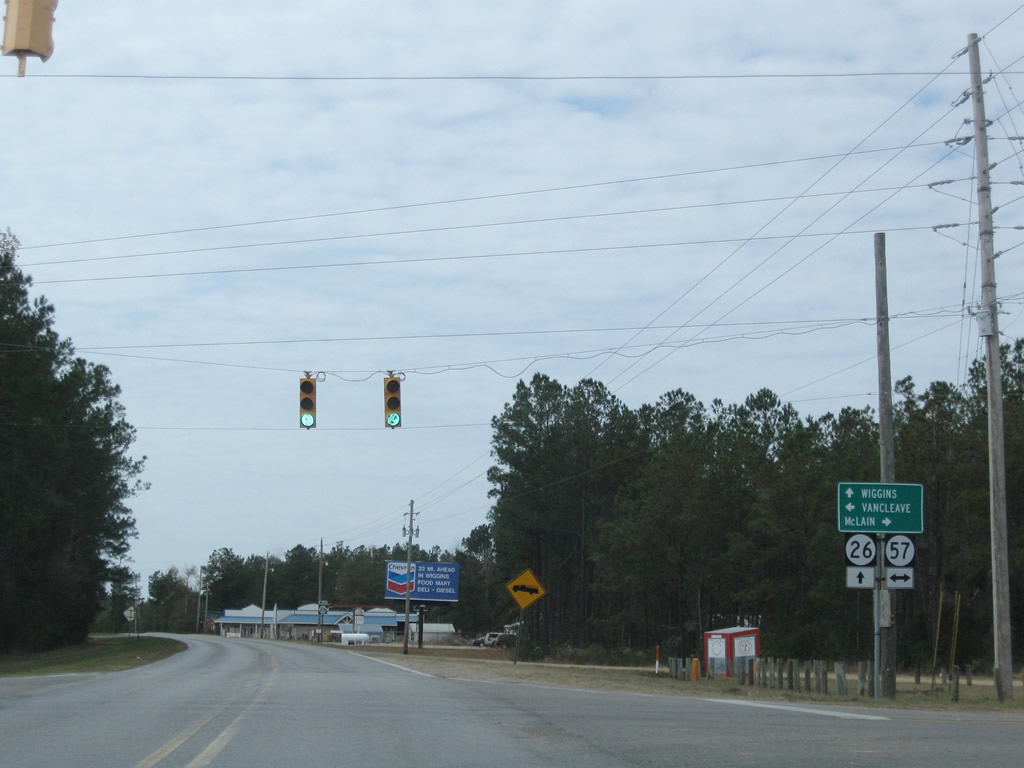
Highway 57 is a rural highway connecting Ocean Springs and the Mississippi Gulf Coast with U.S. 98 at McLain and Highway 63 near Leakesville. The state highway originates 36.6 miles to the south at U.S. 90.
11/23/08

MS 26 confirming marker posted west of MS 57.
11/23/08
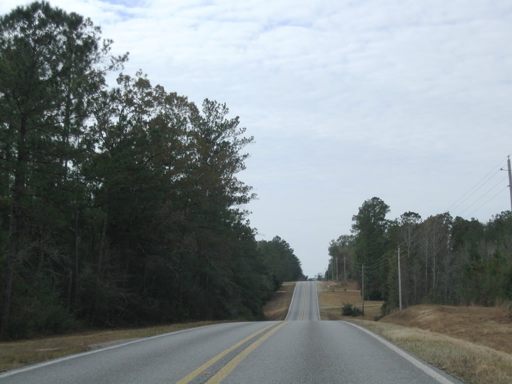
MS 26 gradually turns from the southwest to west ahead of the Stone County line.
11/23/08
11/23/08
MS 26 crosses Sweetwater Creek and then Flat Branch ahead of the county line.
11/23/08
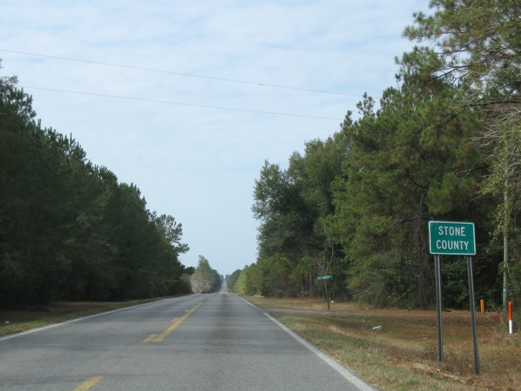
Entering both Stone County and DeSoto National Forest on MS 26 westbound.
11/23/08
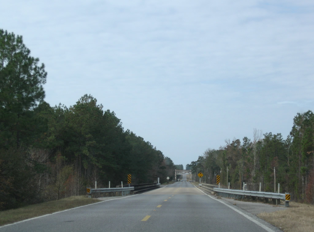
A series of three bridges take Highway 26 across Black Creek and associated flood relief channels west of Deep Creek Road and George County.
11/23/08
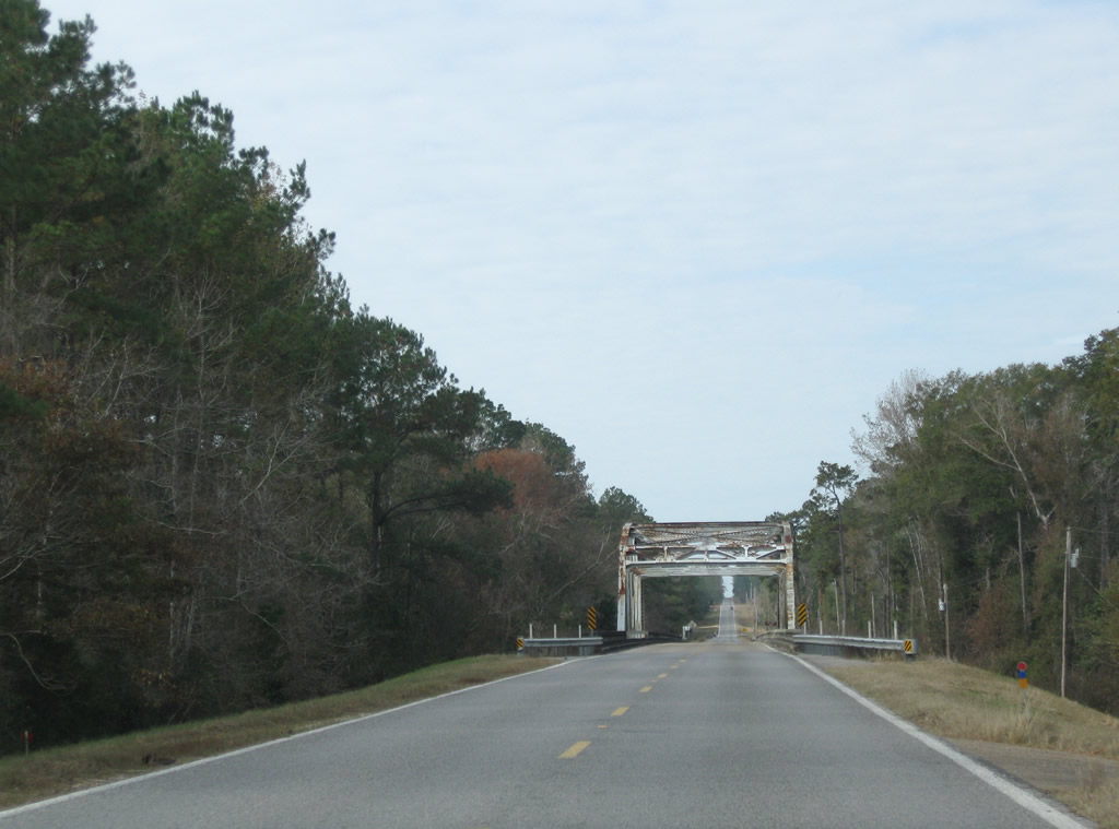
A camelback through truss bridge dating to 1948 spans the main channel of Black Creek along MS 26.1
11/23/08
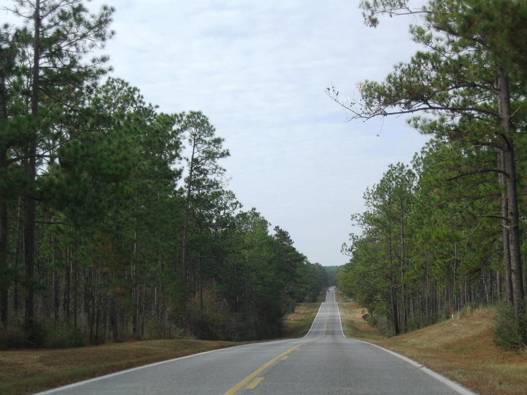
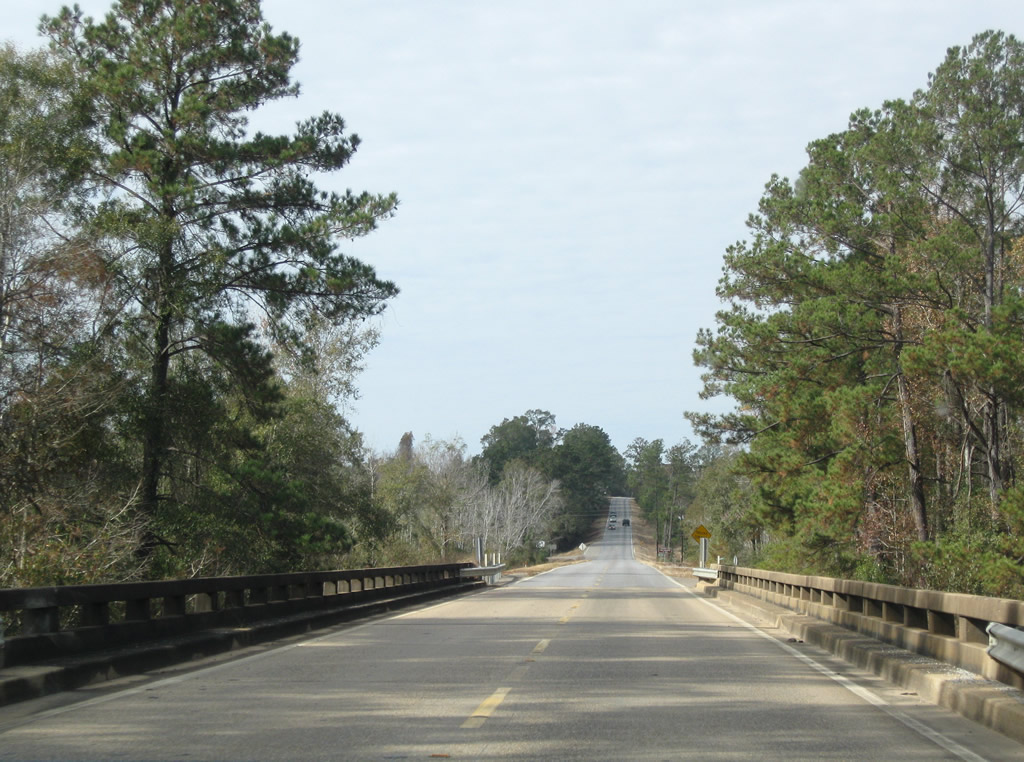
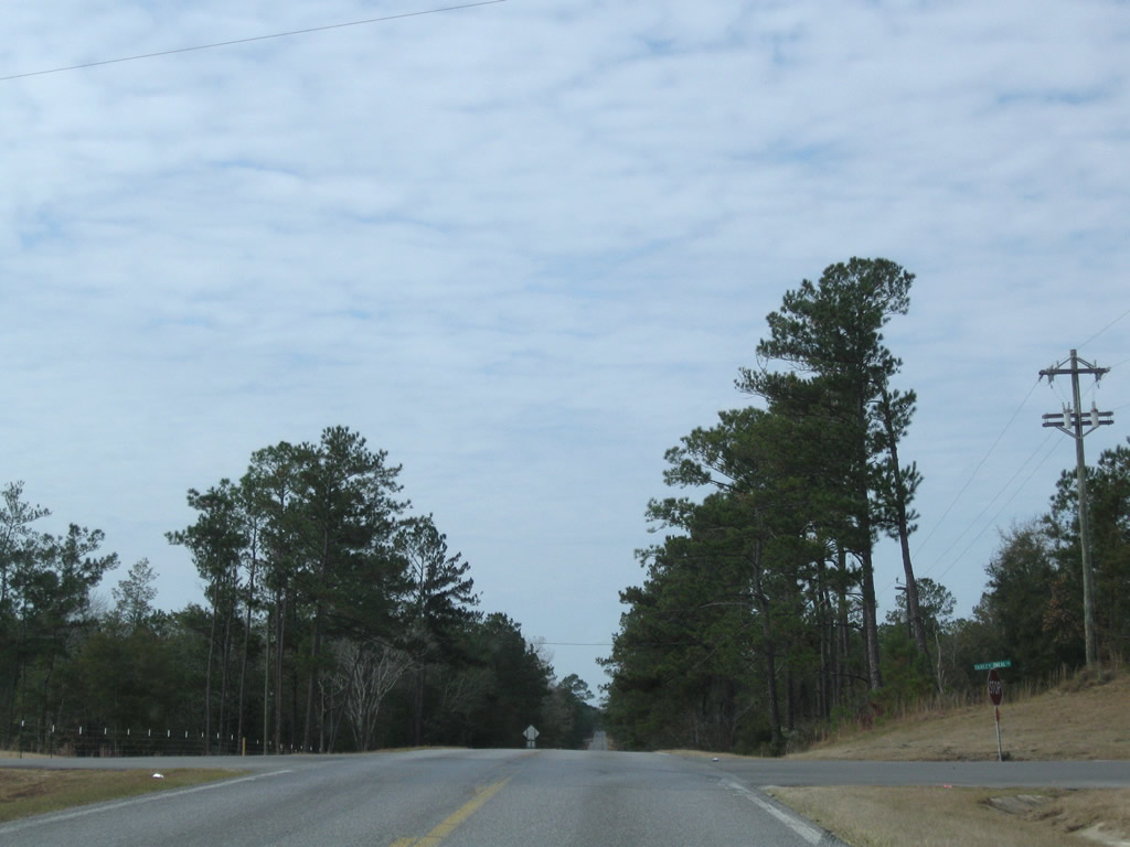
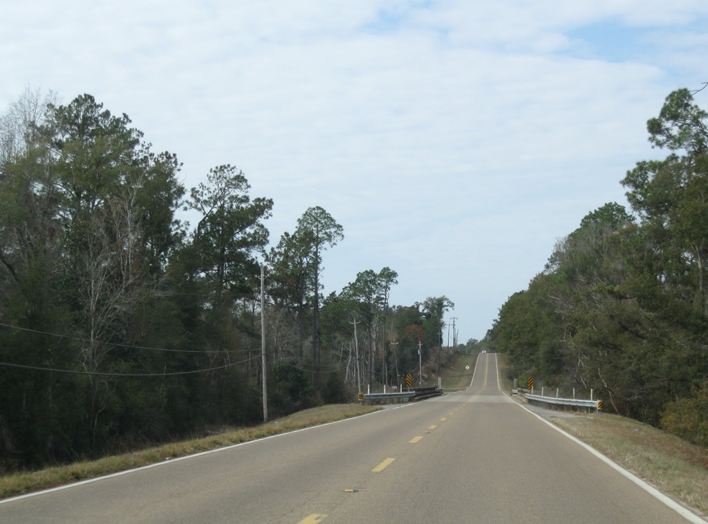
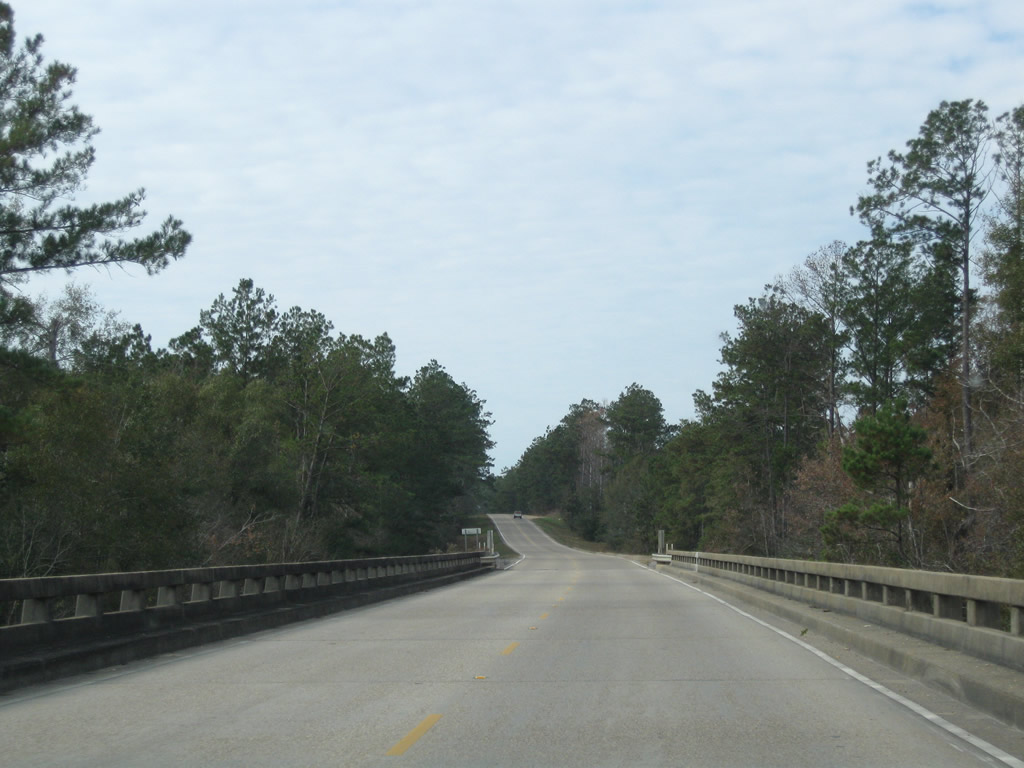
The two lane roadway undulates over bluffs from Bluff Creek west to Moore Crossing.
11/23/08
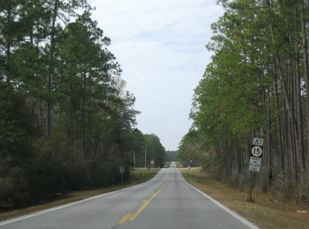
MS 26 west next meets the north end of MS 15. The southern segment of MS 15 travels 30.6 miles south through DeSoto National Forest to MS 67 in D'Iberville.
11/23/08
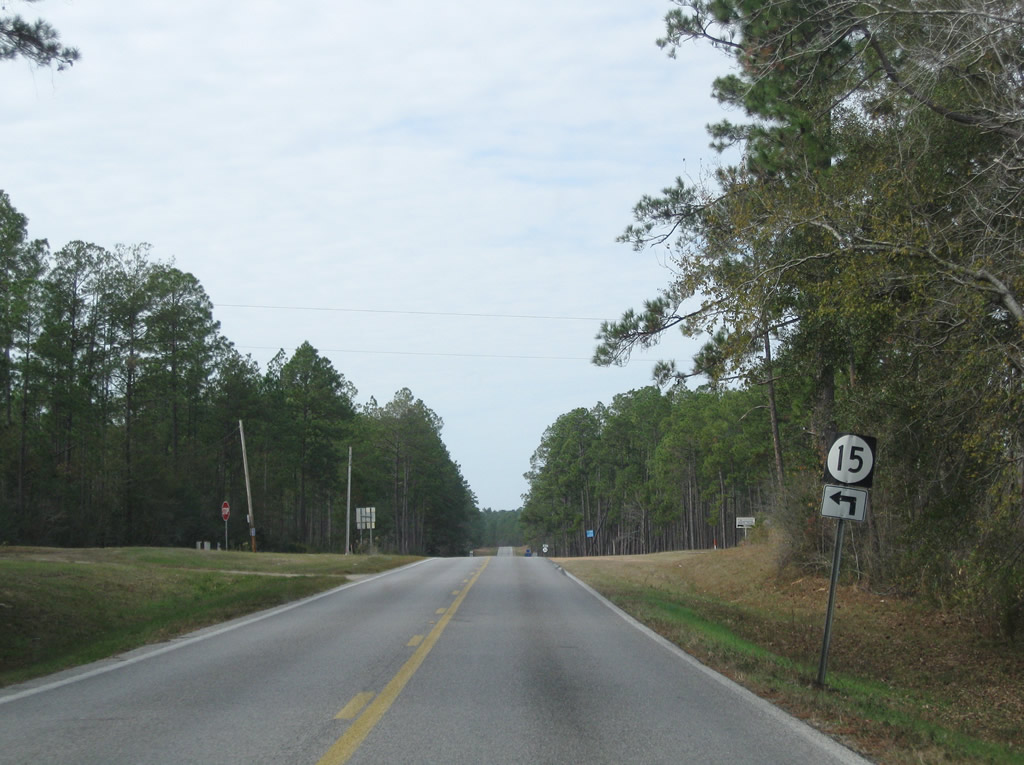
MS 15 connects with MS 67 at a trumpet interchange 2.4 miles north of the exchange joining I-10 and I-110. MS 15 historically continued south to U.S. 90 in Biloxi.
11/23/08
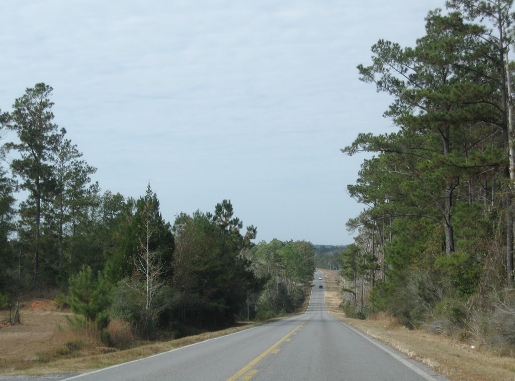
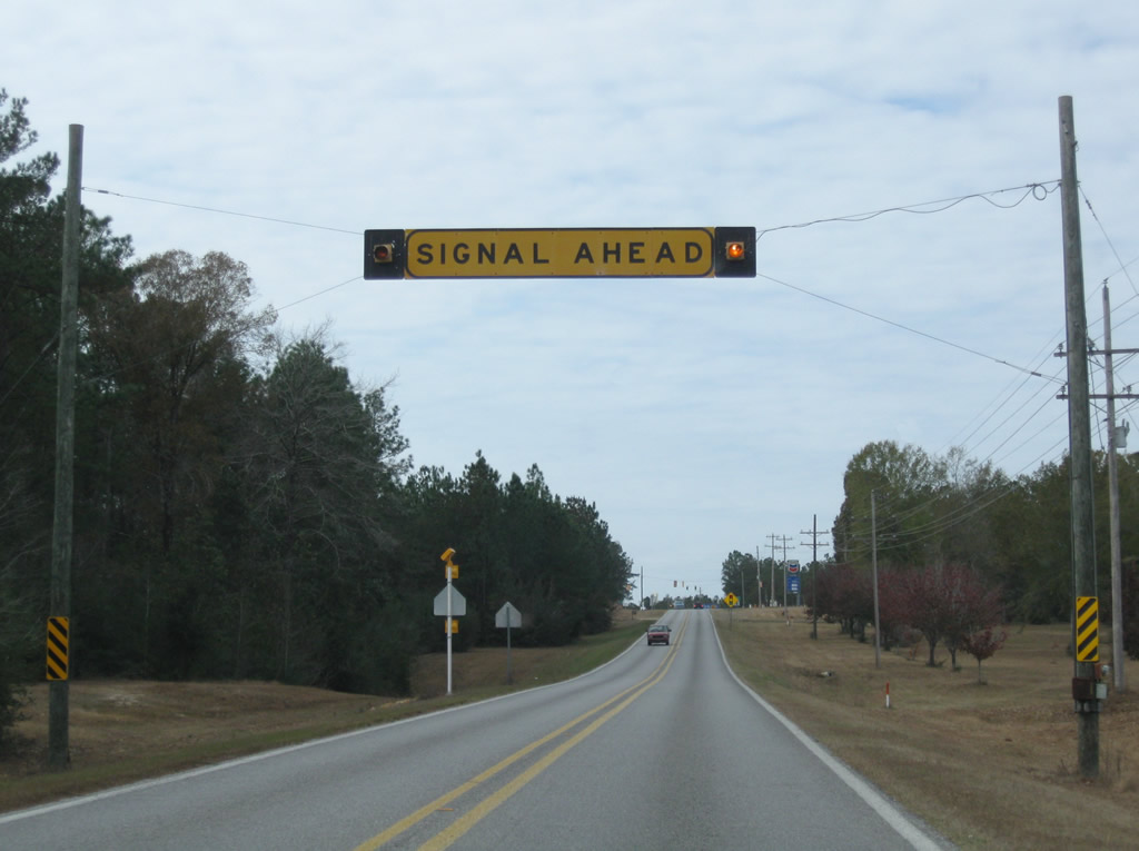
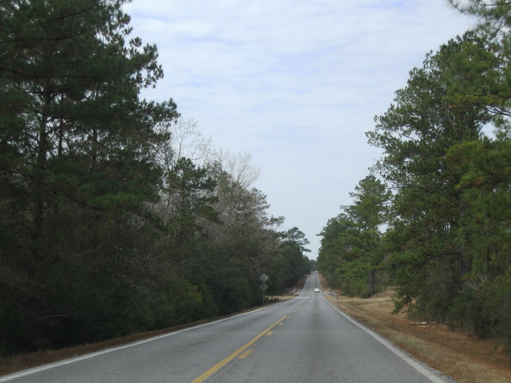
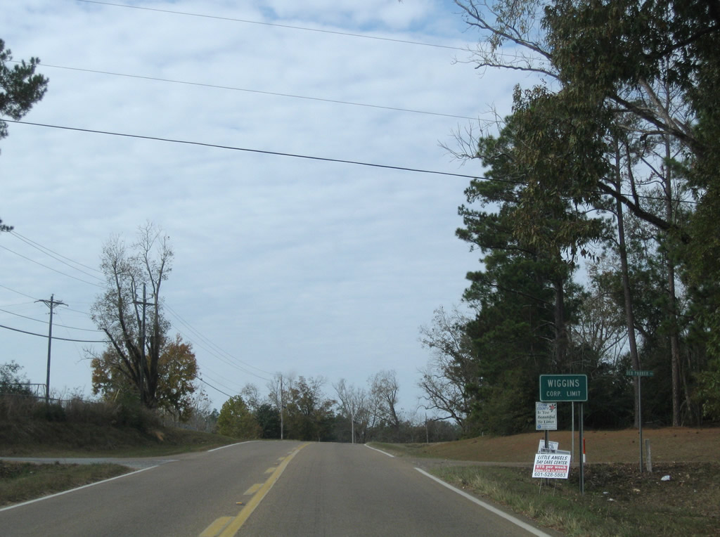
Continuing west from MS 15, MS 26 remains rural another eight miles into the city of Wiggins.
11/23/08
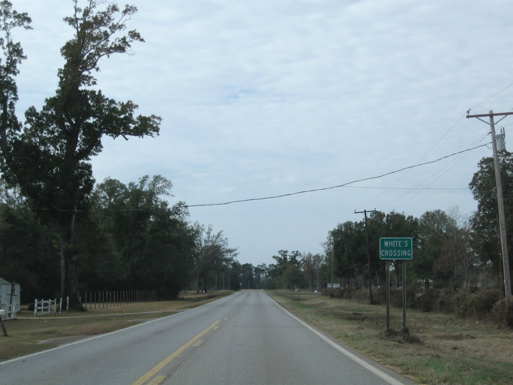
Westbound Highway 26 at the settlement of White's Crossing.
11/23/08
The span taking MS 26 across Flint Creek was constructed in 1952.
11/23/08
Curving northwest, MS 26 transitions onto Central Avenue through the Stone County seat of Wiggins.
11/23/08
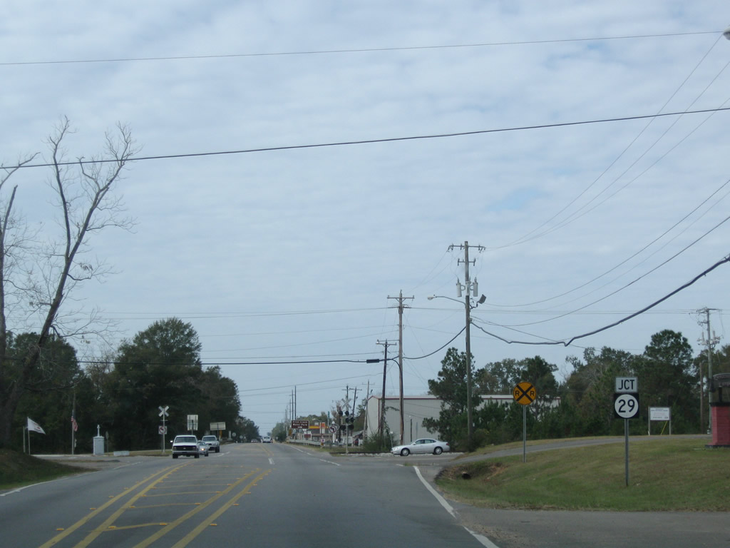
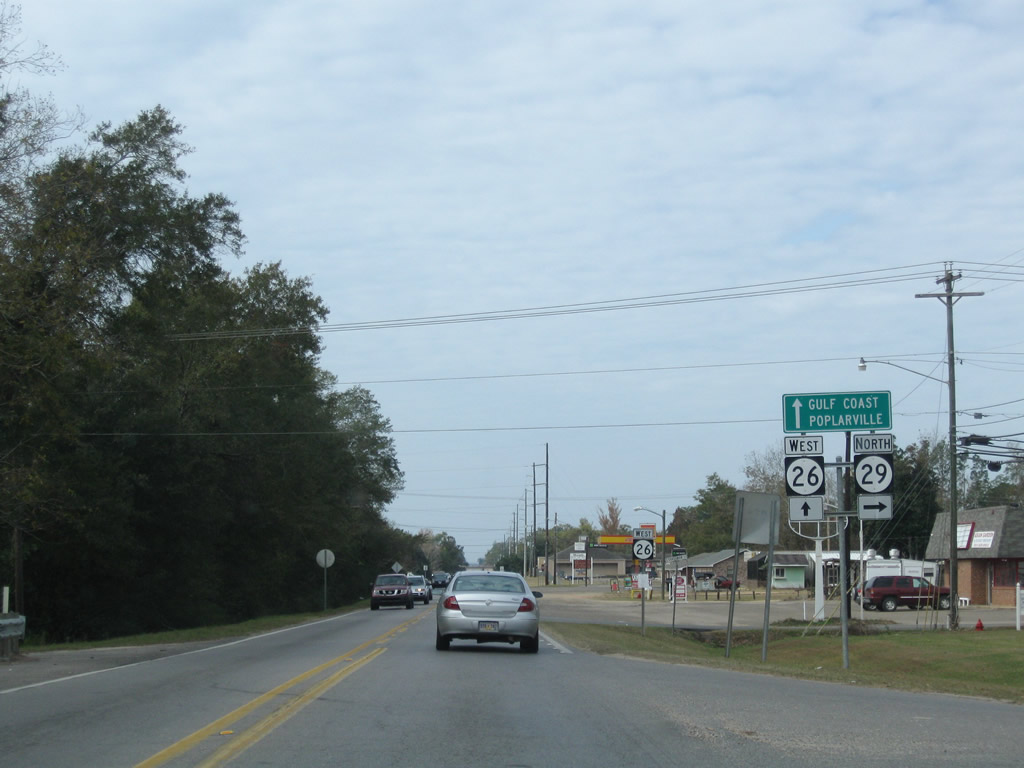
Central Avenue intersects 1st Street ahead of an at-grade crossing with the Kansas City Southern Railroad line and the parclo B2 interchange with MS 29 (Magnolia Drive) north.
11/23/08
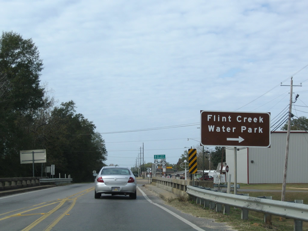
The turn off for MS 29 north through Downtown Wiggins follows the underpass for Magnolia Drive. MS 29 travels northeast from the city center to Flint Creek Water Park along Flint Creek Reservoir.
11/23/08
Heading north from Wiggins, MS 29 navigates along a 32.8 mile course through DeSoto National Forest to U.S. 98 at New Augusta.
11/23/08
West  South
South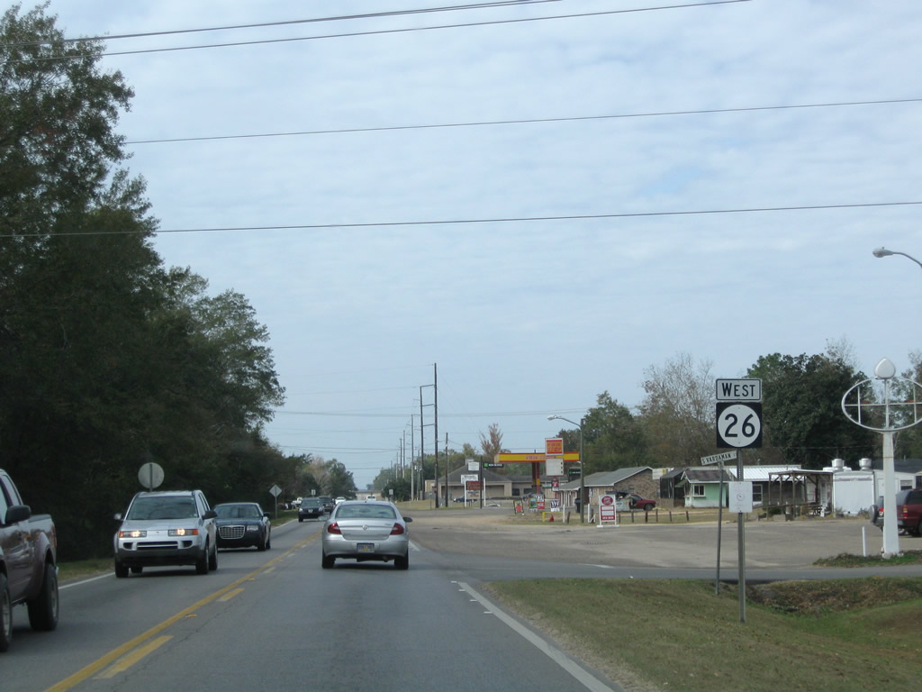
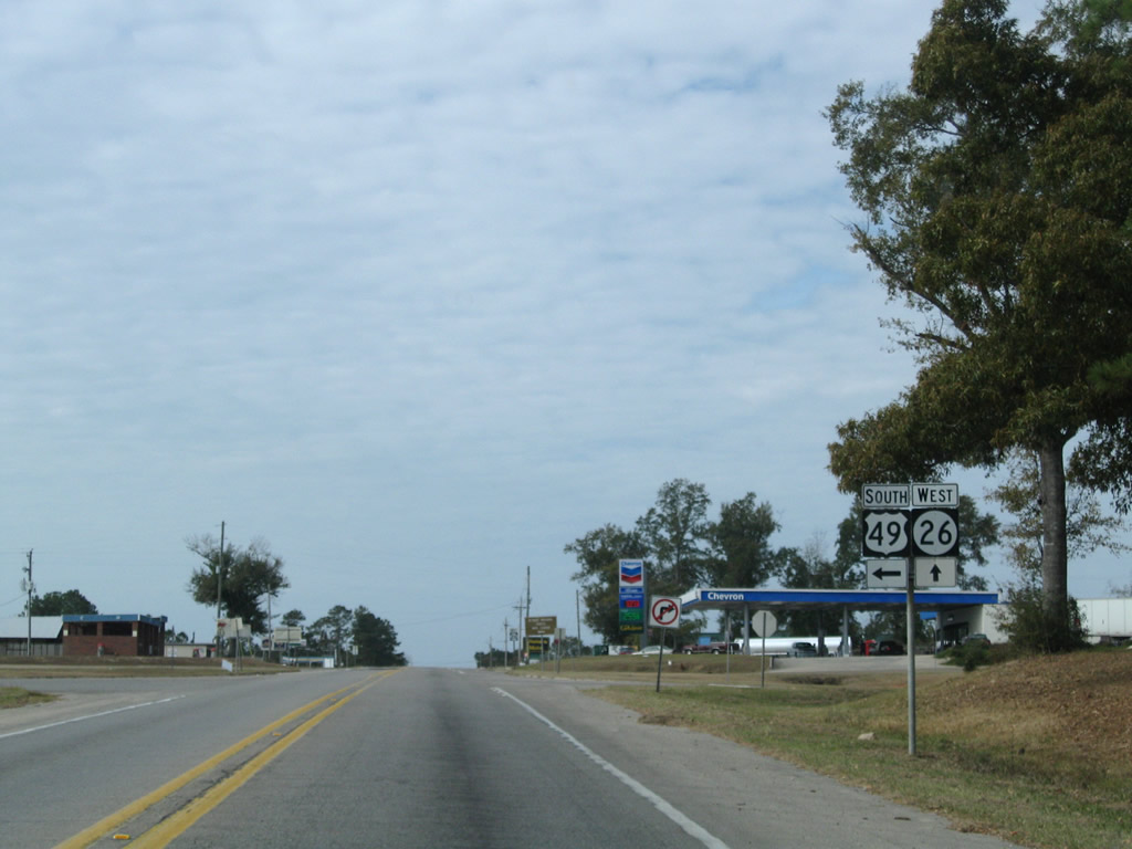
Although not acknowledged here, MS 29 south combines with MS 26 (Central Avenue) west one mile to U.S. 49.
11/23/08

MS 26/29 (Central Avenue) enter a diamond interchange with U.S. 49 just west of Fourmile Creek in Wiggins.
11/23/08

U.S. 49 (Azalea Drive) runs along the west side of Wiggins along an arterial bypass between Magnolia Drive (old U.S. 49). The four lane corridor leads 33 miles north to U.S. 11 in the city of Hattiesburg.
11/23/08
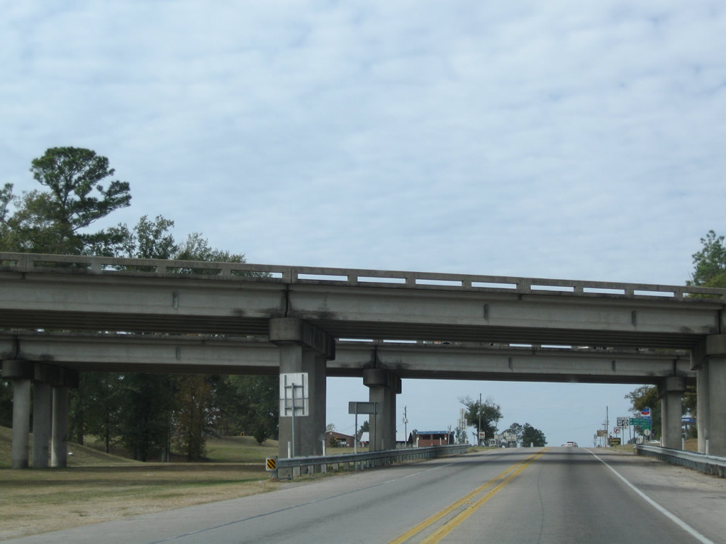
The Wiggins bypass along U.S. 45 dates back to 1965. The overpasses spanning MS 26 can accommodate four lanes along Central Avenue.
11/23/08
U.S. 49 travels overall from the Mississippi Gulf Coast to Piggott in northeastern Arkansas. The south end of the US highway is located at U.S. 90 beyond Downtown Gulfport, 34.5 miles away.
11/23/08
West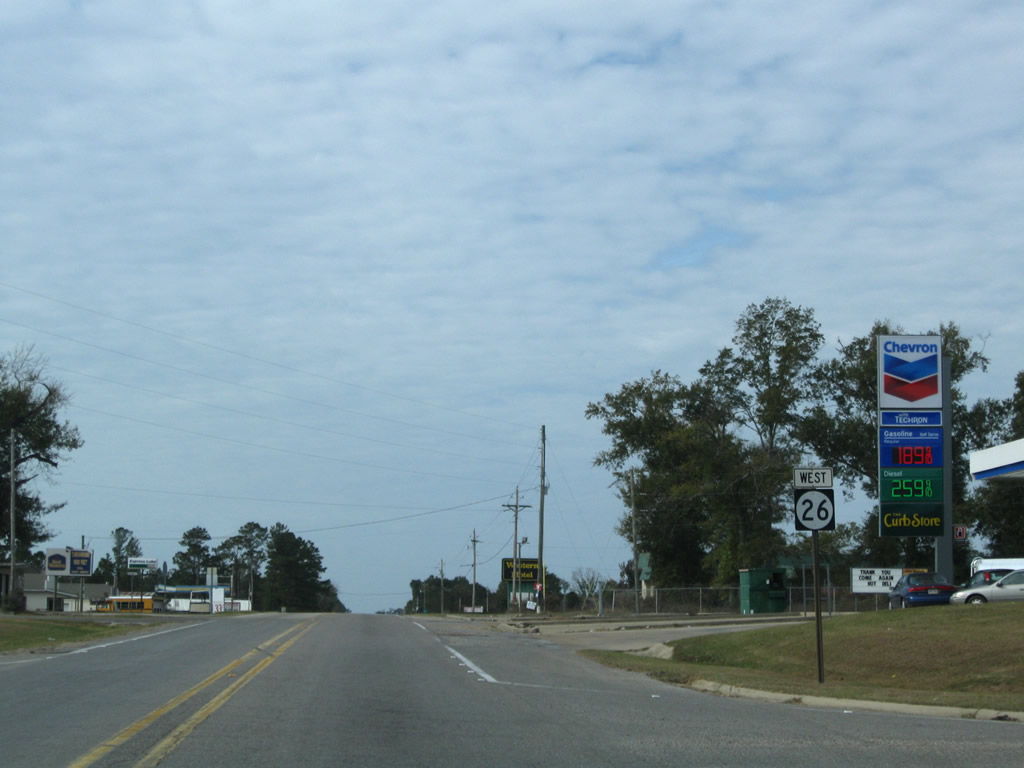
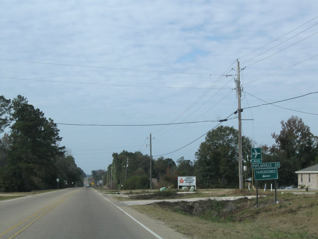
Poplarville lies 20 miles to the west via Mississippi 26 from U.S. 45 and Dean Griffin Memorial Airport (M24) at Wiggins.
11/23/08
The historic alignment of Highway 26 took a longer course west from Wiggins via Stillmore. MS 26 stays to the north, crossing Red Creek one mile beyond Old Highway 26.
11/23/08
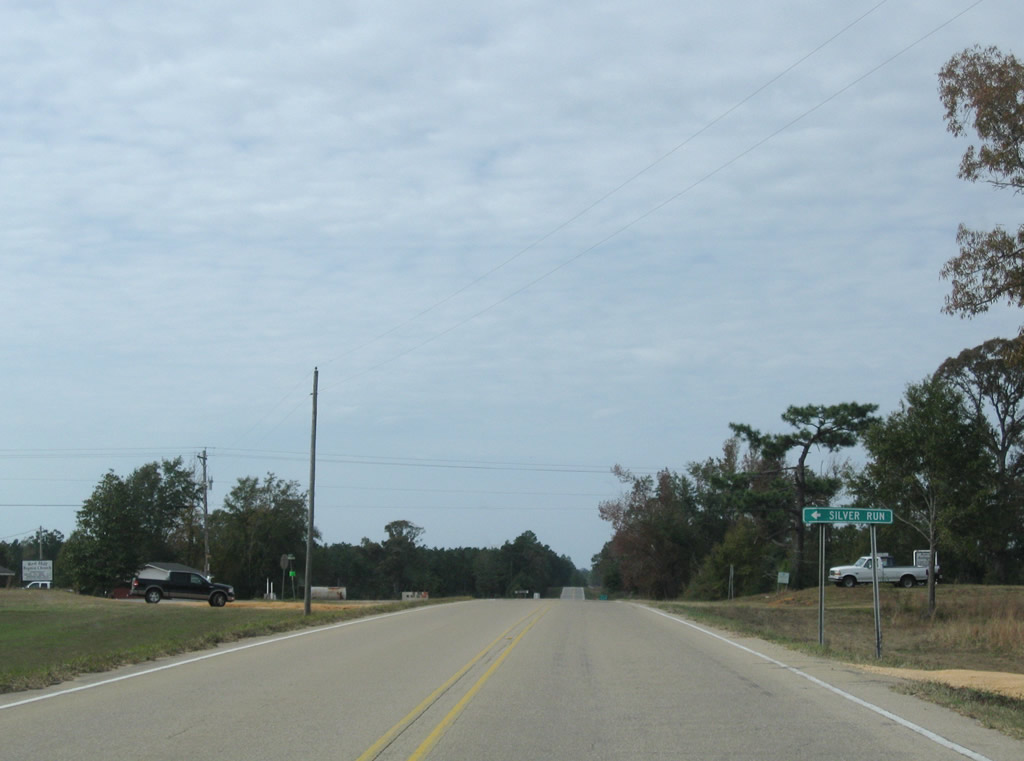
Magnolia Road meanders south from MS 26, connecting with Old Highway 26 southwest to the community of Silver Run.
11/23/08
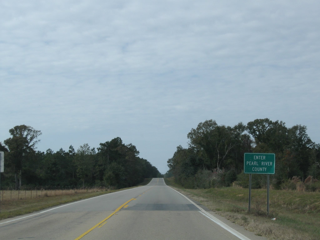
The Pearl River County line crosses MS 26 just west of Magnolia Road.
11/23/08
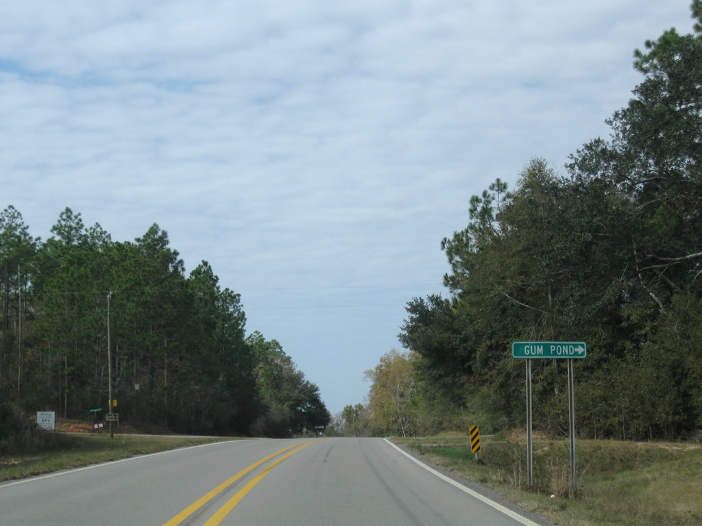
Gumpond Beall Road stems north 4.4 miles from MS 26 at Jess Williams Road to the settlement of Gum Pond.
11/23/08
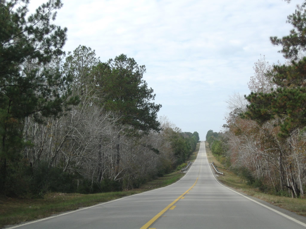
Bee lining west across Alligator Creek on Mississippi Highway 26.
11/23/08
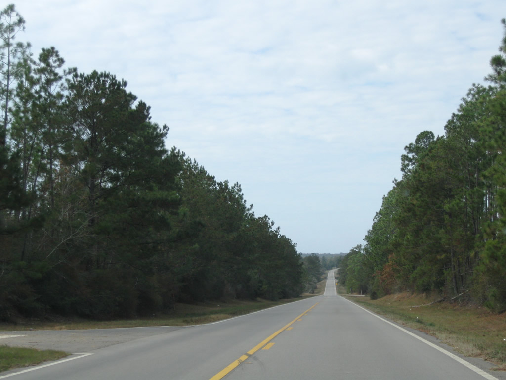
Lowering toward Wolf Creek along MS 26 westbound.
11/23/08
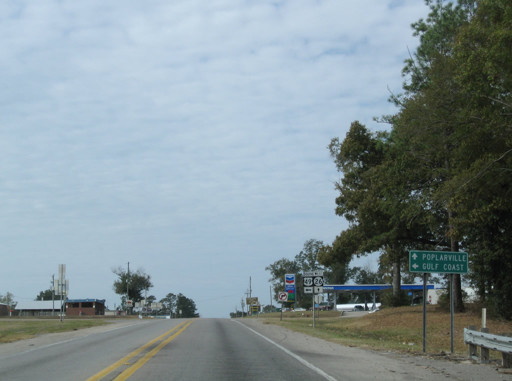
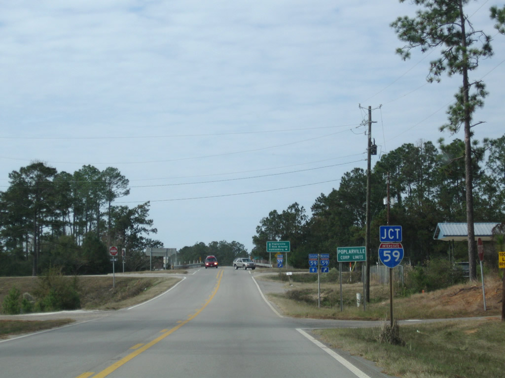
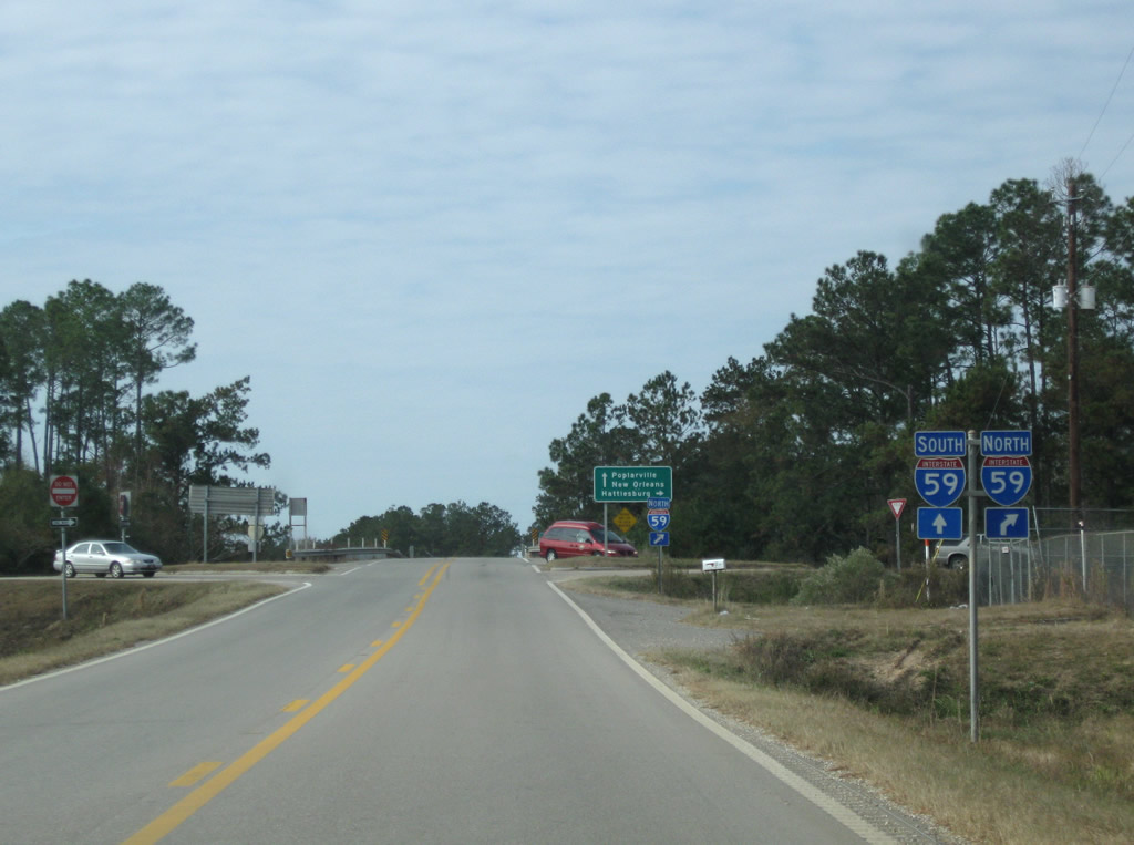
Navigating through an S-curve, MS 26 arrives at the rural diamond interchange with Interstate 59 at Poplarville.
11/23/08
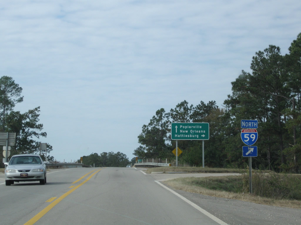
Interstate 59 originates from I-10 and I-12 at Slidell and leads northeast to Picayune, Poplarville and Hattiesburg.
11/23/08
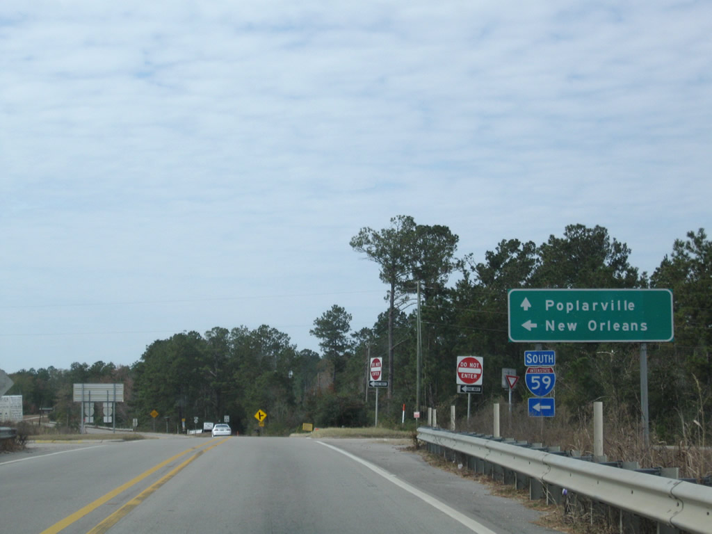
Interstate 59 southbound leads directly to I-10 west into the Greater New Orleans area.
11/23/08
References:
- SR 26 over BLACK CREEK, Stone County, Mississippi. http://bridgereports.com/1300734 BridgeReports.com
- Pascagoula River MS 26 Bridge. http://bridgehunter.com/ms/george/310002602006520/ Bridgehunter.com
Photo Credits:
- Andy Field: 11/23/08
Connect with:
Page Updated Tuesday March 26, 2019.