
Highway 613

Mississippi 613 provides one of two routes connecting Moss Point and Pascagoula with points north including Lucedale, the U.S. 98 corridor, and the U.S. 45 corridor. Generally a rural route outside of Moss Point, the two-lane highway forms a 34 mile loop east of Mississippi 63 through eastern Jackson and George Counties. The state route generally parallels the Mississippi Export (MSE) Railroad north to Big Point, Hurley, Agricola.
Through Pascagoula, Mississippi 613 angles northeast along Telephone Road from U.S. 90 (Denny Avenue) east of Downtown. The five-lane boulevard curves northward to become Main Street through Moss Point. The state route lines a commercial strip just west of the city center north to the high level bridge across the Escatawpa River between Beardslee and Robertson Lakes. A diamond interchange links Mississippi 613 with I-10, and the state route extends north with at least three lanes another 1.75 miles to Knowles Avenue.
Historically, the alignment of MS 613 was the previous route for MS 63. MS 63 was realigned westward from Big Point, Hurley and Agricola by 1960, with MS 613 designated northward from their meeting outside Moss Point to U.S. 98 in Lucedale. With a new alignment built for MS 63 south into Moss Point, MS 613 was extended south over the former MS 63 to Pascagoula by 1981.
 North
North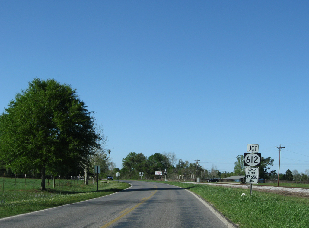
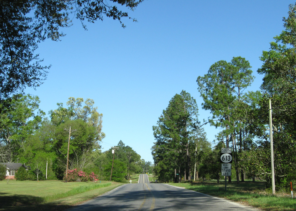
Mississippi 613 and 612 come together at a rural intersection located nine mile south of Lucedale.
03/29/09
Mississippi 612 begins and leads east to Alabama, connecting with U.S. 98 near Wilmer via CR 7.
03/29/09

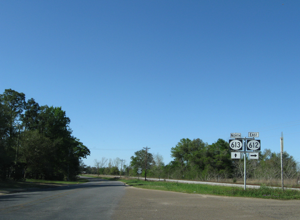
MS 613 north confirming marker posted MS 612. The state route separates from the adjacent Mississippi Export (MSE) Railroad in a half mile as it turns northwest.
08/20/01
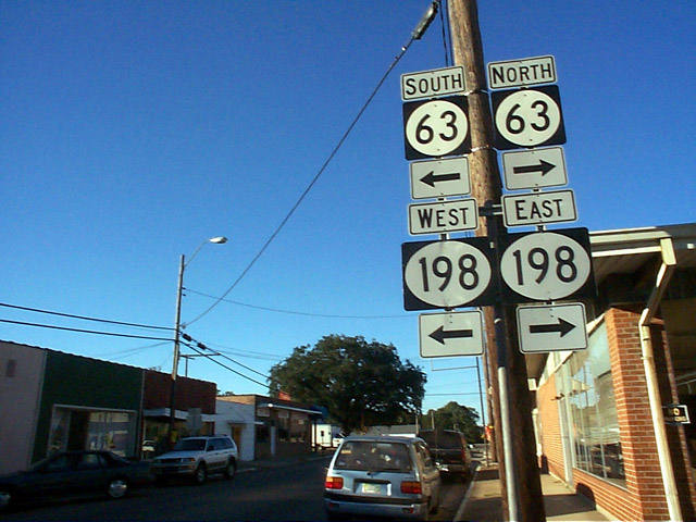
Prior to 2001, MS 613 (Mill Street) ended at both MS 63 and MS 198 (Main Street) in Lucedale, With completion of the MS 63 expressway west of the city, the state route was dropped from Winter and Main Streets through the George County seat.
10/20/99
South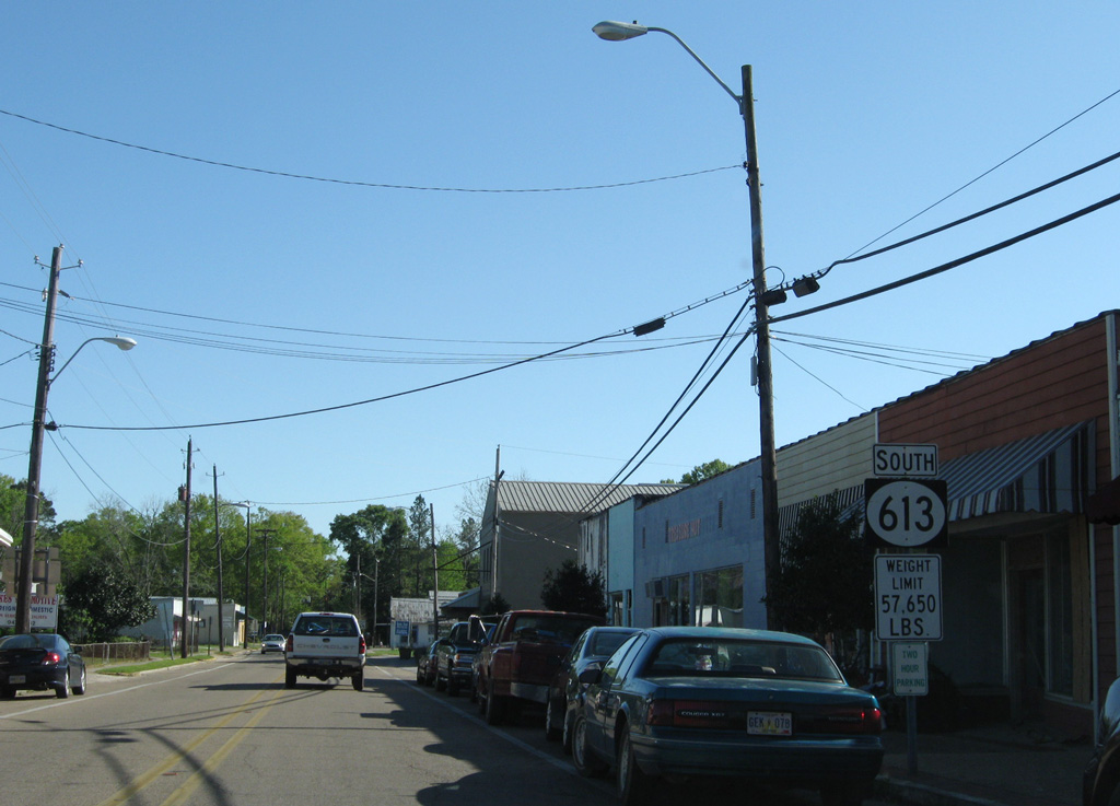
The first reassurance marker for Mississippi 613, posted along Mill Street south of Mississippi 198 (Main Street) in Lucedale.
03/29/09

Mississippi 613 follows Mill Street one mile south to Cowart Street east.
03/29/09
Cowart Street links Mississippi 613 (Mill Street) with Old Highway 63 to the west.
03/29/09

Mississippi 613 makes a turn south along from near Evanston, running along a section line for 2.25 miles.
03/29/09
Reassurance marker posted after the eastern turn at Cooks Corner Road.
03/29/09
Dropping into a broad valley, Mississippi 613 crosses Little Cedar Creek on a 1985-built bridge.
03/29/09
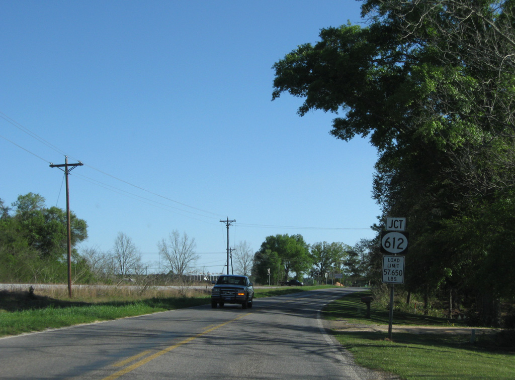
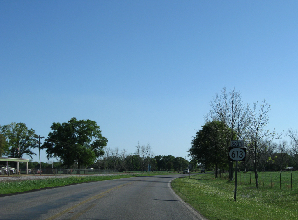
Paralleling the Mississippi Export (MSE) Railroad, MS 613 approaches the west end of MS 612. The MSE line links Lucedale with Moss Point and Pascagoula.
03/29/09
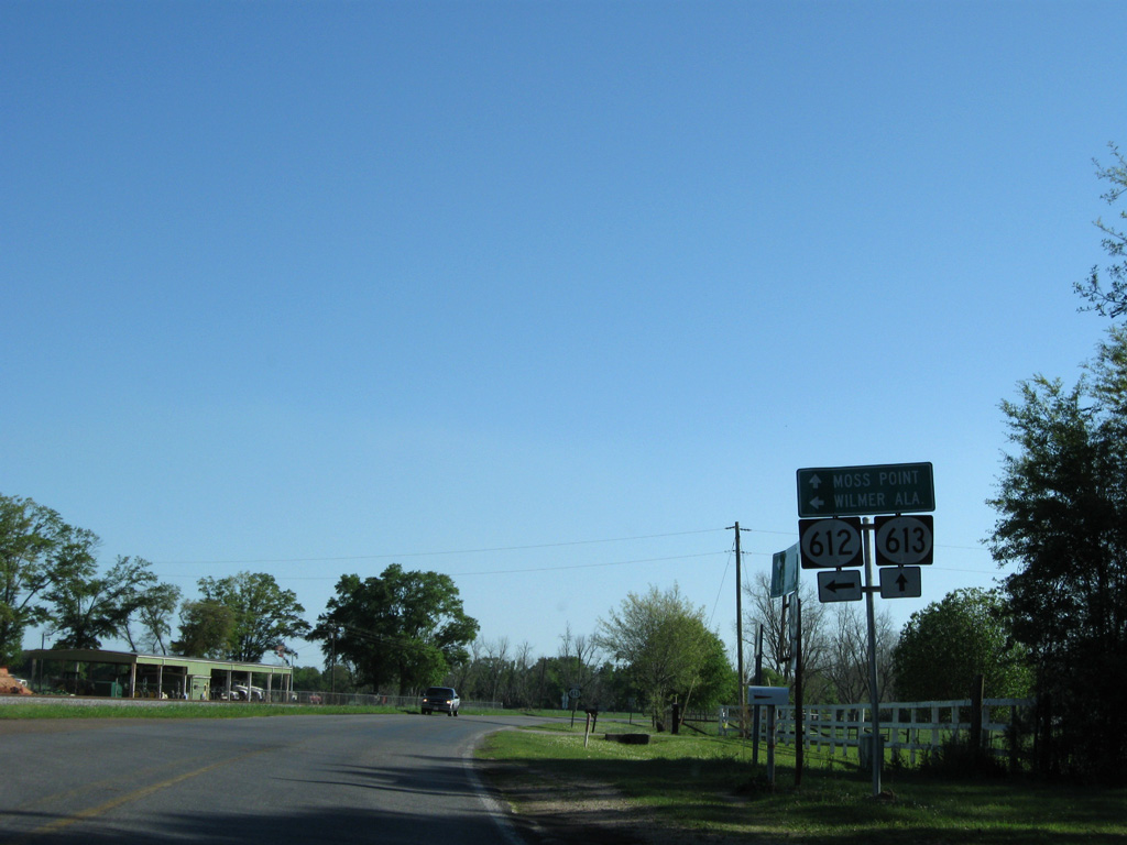
MS 612 travels seven miles east to the Alabama state line. The unincorporated community of Wilmer lies 11.5 miles east via MS 612, Natchez Highway (CR 7) and U.S. 98.
03/29/09
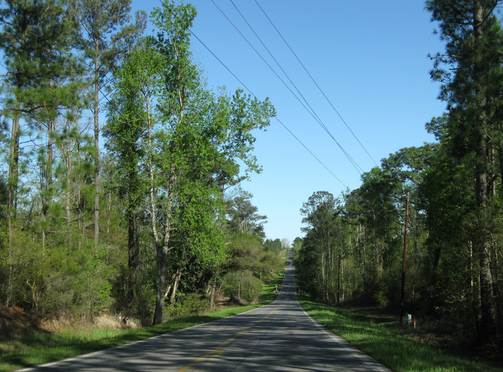
MS 613 continues south from MS 612 alongside the MSE line to Agricola.
03/29/09
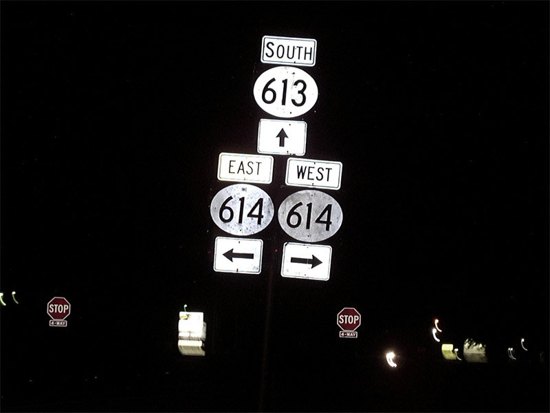
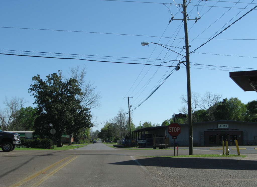
MS 613 south meets MS 614 at a four way stop sign in the community of Hurley. MS 614 heads west to MS 63 at Wade and east to Arena and CR 56 to Mobile, Alabama.
05/26/01
Photo Credits:
- ABRoads: 03/29/09
- Alex Nitzman: 10/20/99, 05/26/01, 08/20/01, 03/29/09
Connect with:
Page Updated Wednesday February 21, 2018.