
Interstate 10

Interstate 10 serves the three coastal counties of Mississippi between Slidell, Louisiana and Mobile, Alabama. Traveling inland, the freeway parallels the U.S. 90 corridor while bypassing or traveling through northern reaches of the Mississippi Sound side cities. Expansion projects widened I-10 to six lanes from just west of Exit 28 to a point just east of Exit 50. Long range plans will eventually extend the six-lane segment west to Exit 13 and east to Exit 57.
Interstate 10 Mississippi Guides

East - Louisiana to Gulfport - 59 photos
East - Biloxi to Alabama - 70 photos
West - Alabama to Biloxi - 63 photos
West - Gulfport to Louisiana - 43 photos
Alabama and Louisiana completed their sections of Interstate 10 well in advance of the portion through Mississippi. The freeway ended at MS 607 north of Pearlington to the west and at the state line with U.S. 90 northeast of Moss Point while construction was underway during the 1970s. A 21 mile section of I-10 between MS 603 in Hancock County and U.S. 49 at Gulfport opened to traffic on July 26, 1973. 33 of the 77.3 miles of I-10 were completed at that time.1
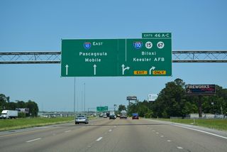
All of I-10 through Mississippi is designated the Vietnam Veterans Memorial Highway. 2015 traffic counts ranged from a high of 77,000 vehicles per day (vpd) at the Biloxi River and 37,000 vpd through the John C. Stennis Space Center buffer zone in Hancock County.
County Farm Road leads 7.19 miles south from MS 53 at Shaw Road to a diamond interchange (Exit 28) with Interstate 10.
06/09/10
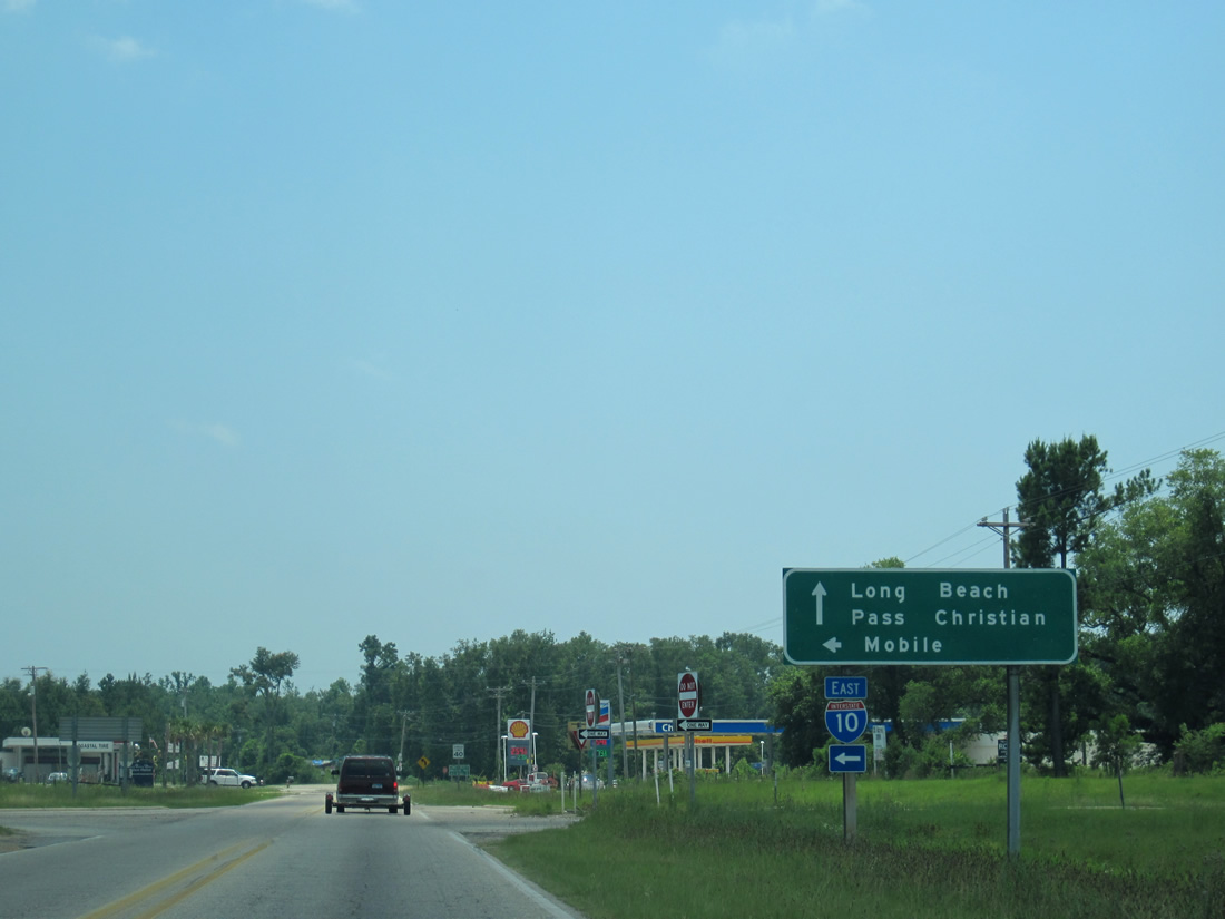
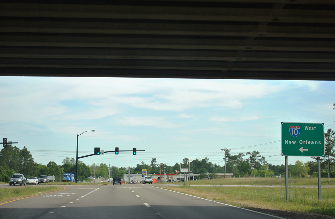
Interstate 10 runs 3.8 miles east from County Farm Road into northern reaches of the Gulfport city limits. County Farm Road south becomes Beatline Road to Long Beach at Red Creek Road in 1.04 miles.
06/09/10
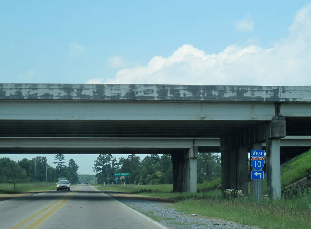
County Farm Road passes under I-10 to the westbound entrance ramp for Slidell, Louisiana.
06/09/10
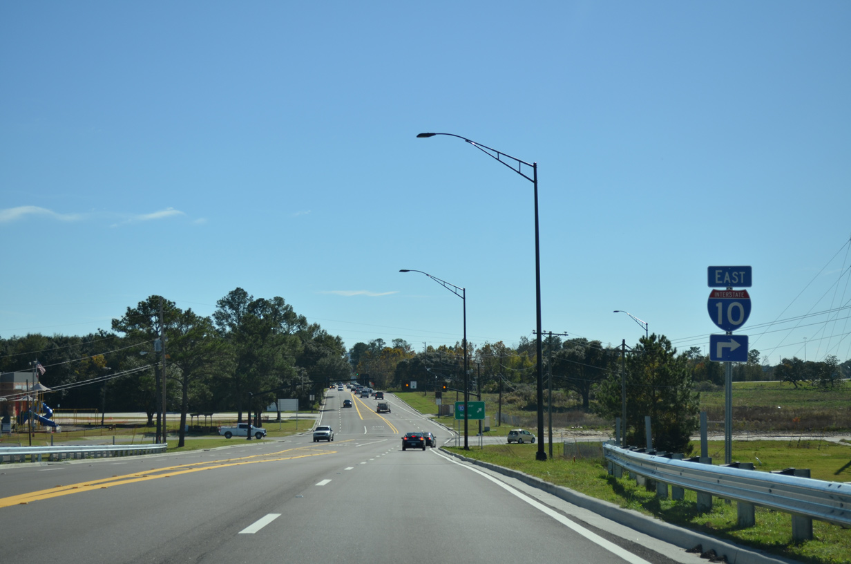
County Farm Road was expanded with shoulders and a left turn lane north at I-10 west by 2021. Traffic signals were added as well.
06/09/10
The Port of Gulfport connector, a limited access freeway spur southeast to U.S. 90 in Gulfport, was proposed to link with I-10 just east of Canal Road.
04/20/12
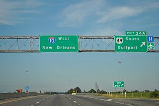
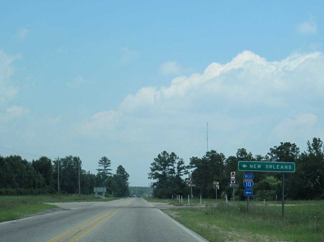
Interstate 10 leaves Gulfport along a mostly rural course 37 miles west to I-12 and I-59 at Slidell.
04/20/12
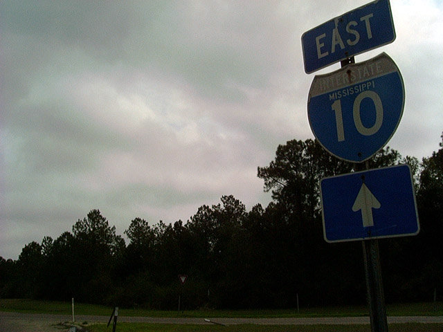
An older state named trailblazer for I-10 previously posted at the eastbound entrance ramp from Lorraine-Cowan Road (MS 605).
03/20/02
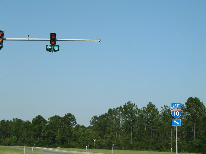
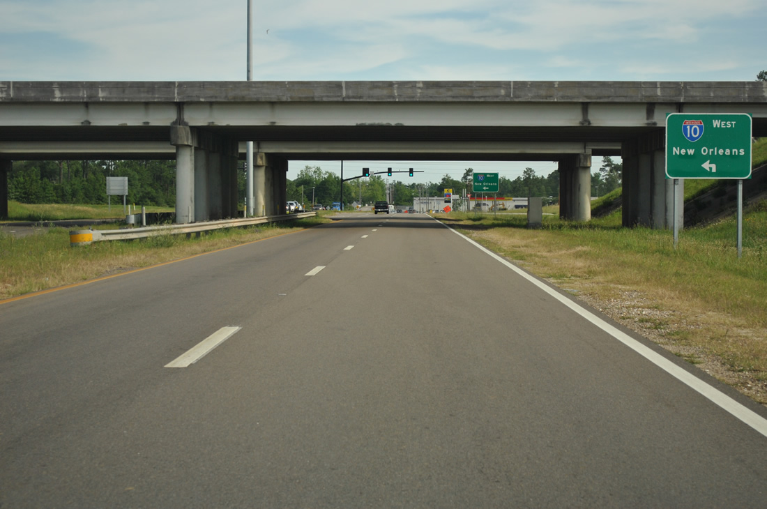
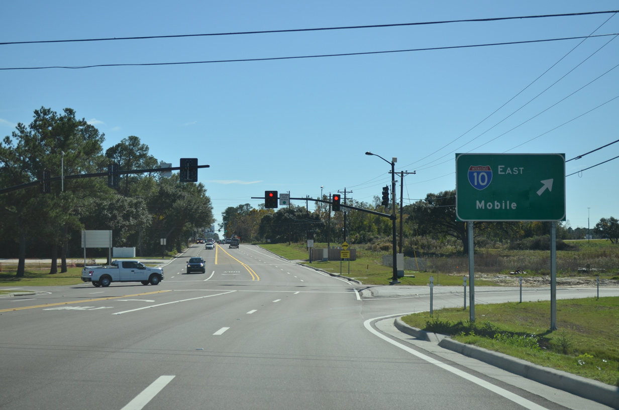
Lorraine-Cowan Road became part of MS 605 in 2004. A four lane arterial, MS 605 joins I-10 with Bernard Bayou Industrial District in Gulfport. Traffic lights were installed at the exchange with Lorraine-Cowan Road in 2003.
06/10/06
Lamey Bridge Road north at the entrance ramp for Interstate 10 east opened in 2015.
11/20/15
Lamey Bridge Road lowers from the overpass across I-10 toward the eastbound entrance ramp. The Lamey Bridge Road overpass was replaced as part of the I-10/110 Interchange Improvements project underway from 2013 to September 2015.
11/20/15
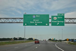
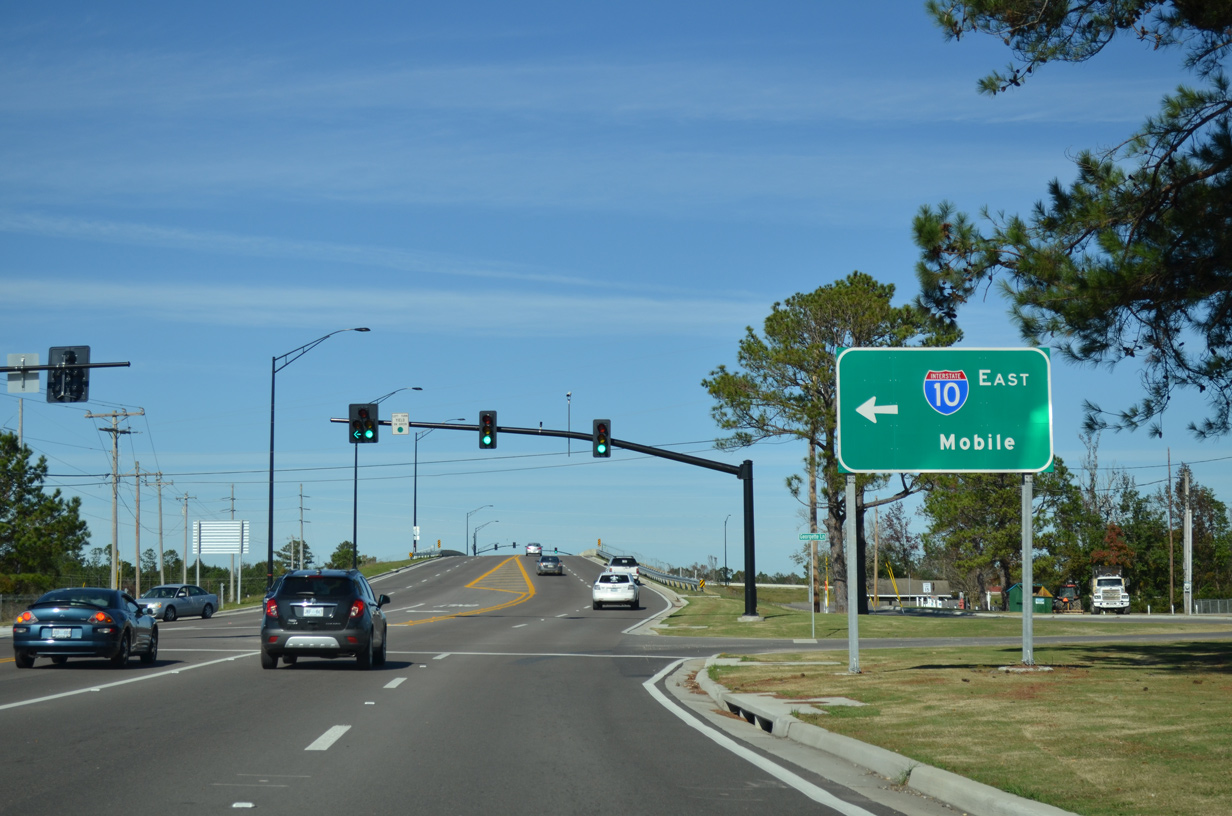
Interstate 10 bee lines east from Lamey Bridge Road to MS 609 north of Ocean Springs. Mobile, Alabama lies 57 miles to the east.
11/20/15
References:
- "I-10 stretch to open." The Delta Democrat-Times (Greenville, MS), July 24, 1973.
Photo Credits:
- Alex Nitzman, Lou Corsaro: 06/09/10
- ABRoads: 04/20/12
- Alex Nitzman: 03/20/02, 06/10/06, 11/20/15
Connect with:
Page Updated Monday July 03, 2023.